Please wait - Uploading to Gaia GPS
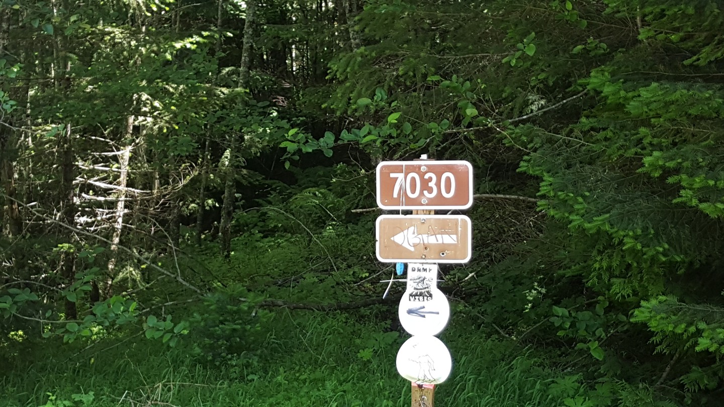
NF-7030 to Stampede Pass

Greenwater,
Washington
(Pierce County)
Last Updated:
11/18/2021
Trail Information
Highlights
 Altitude
 Iconic
 Overland
 Snow Wheeling
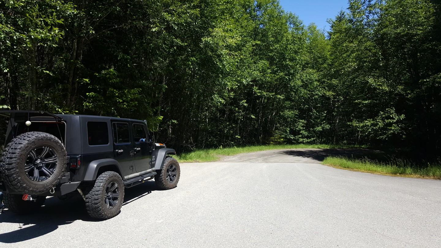
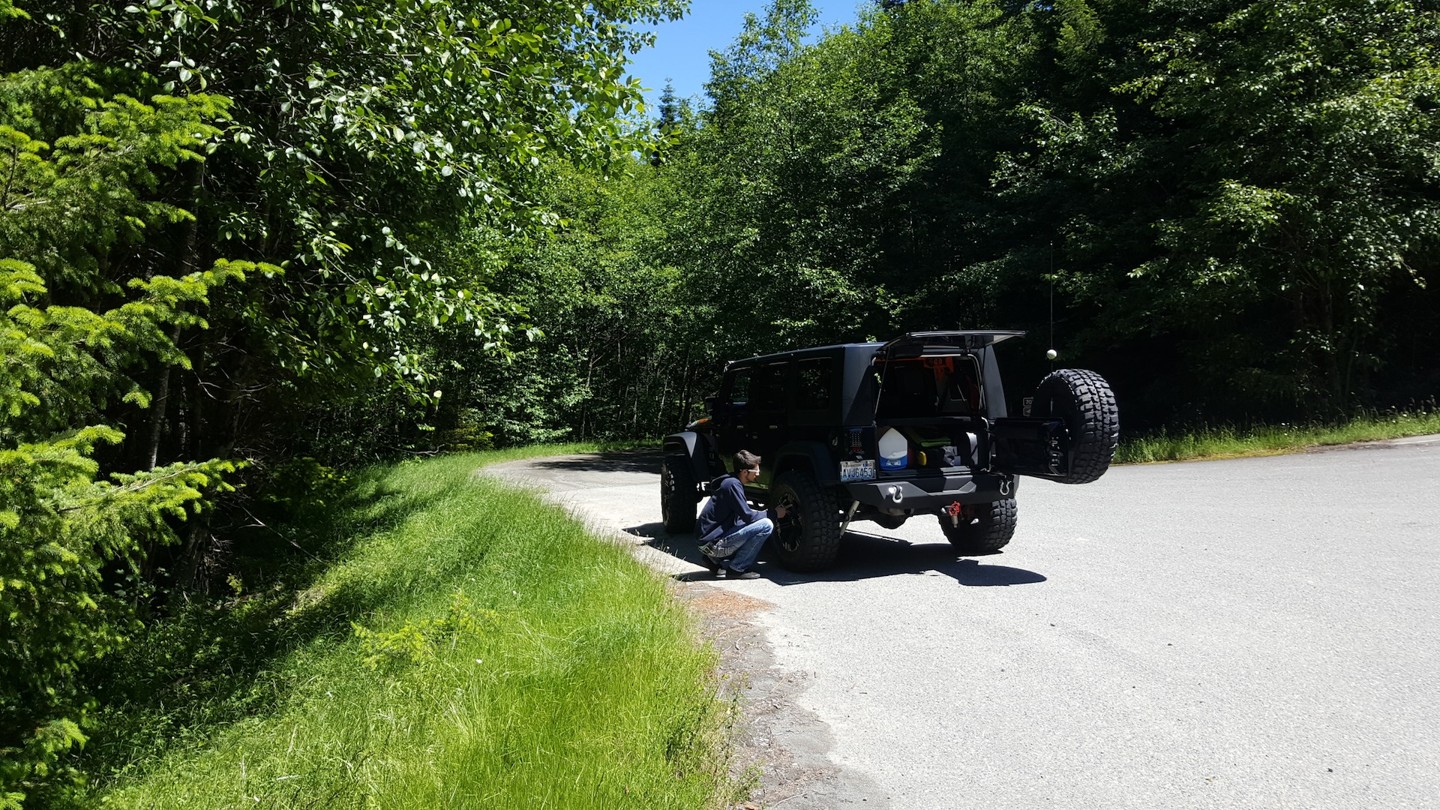
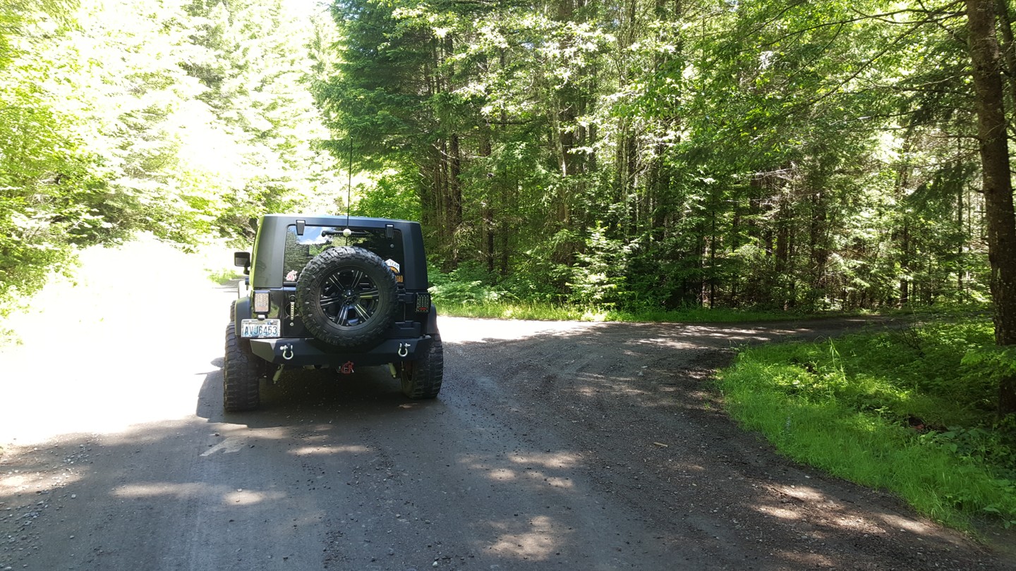
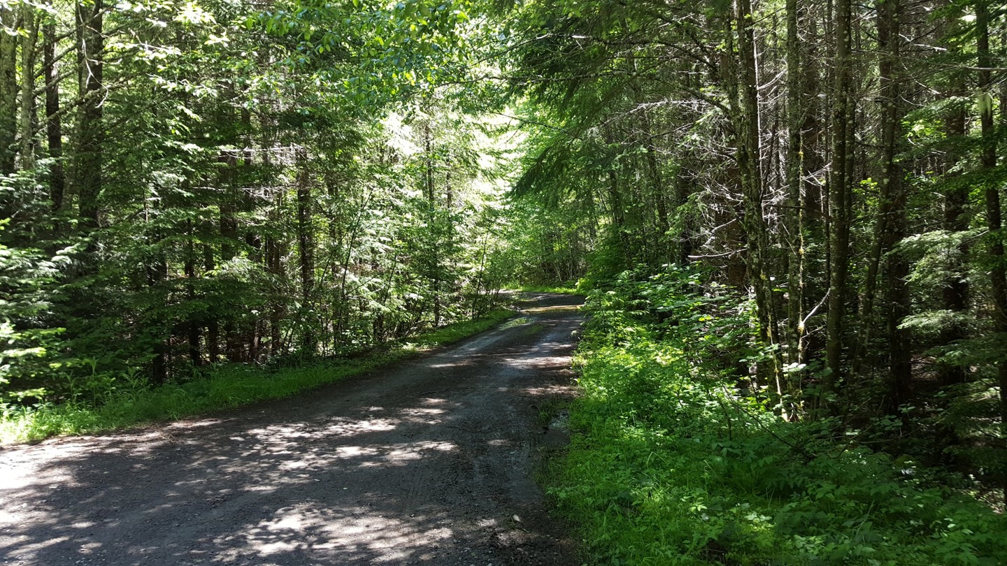
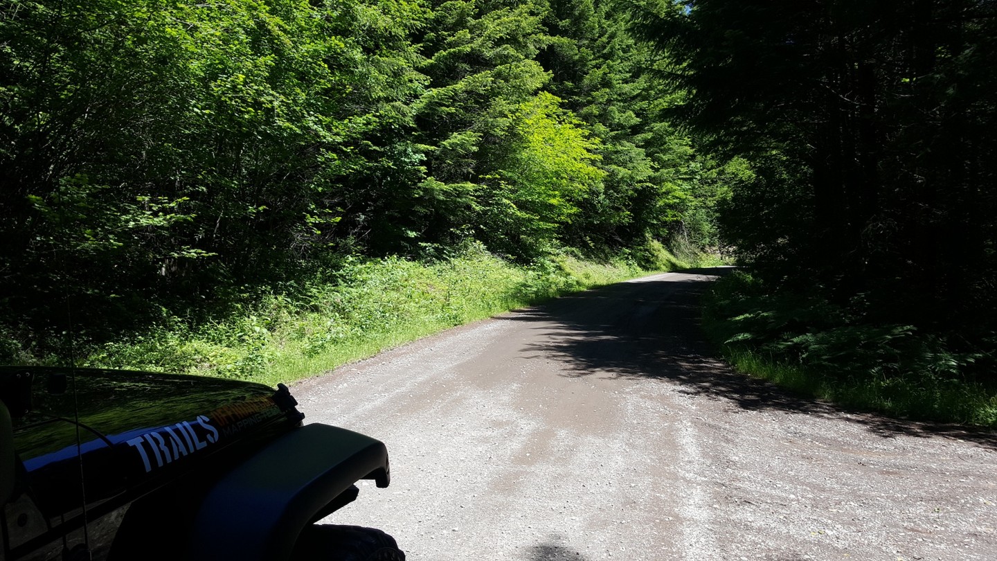
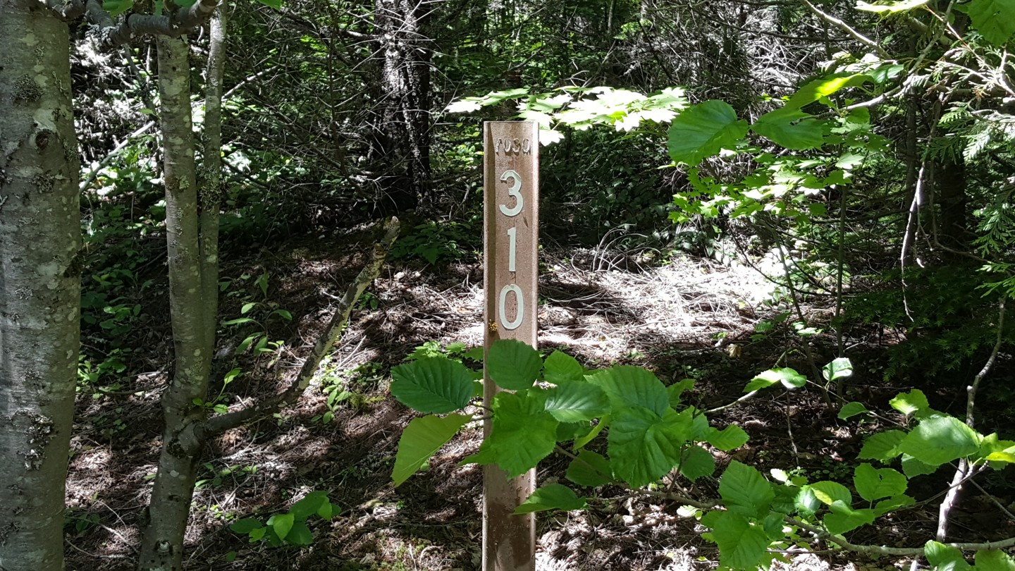
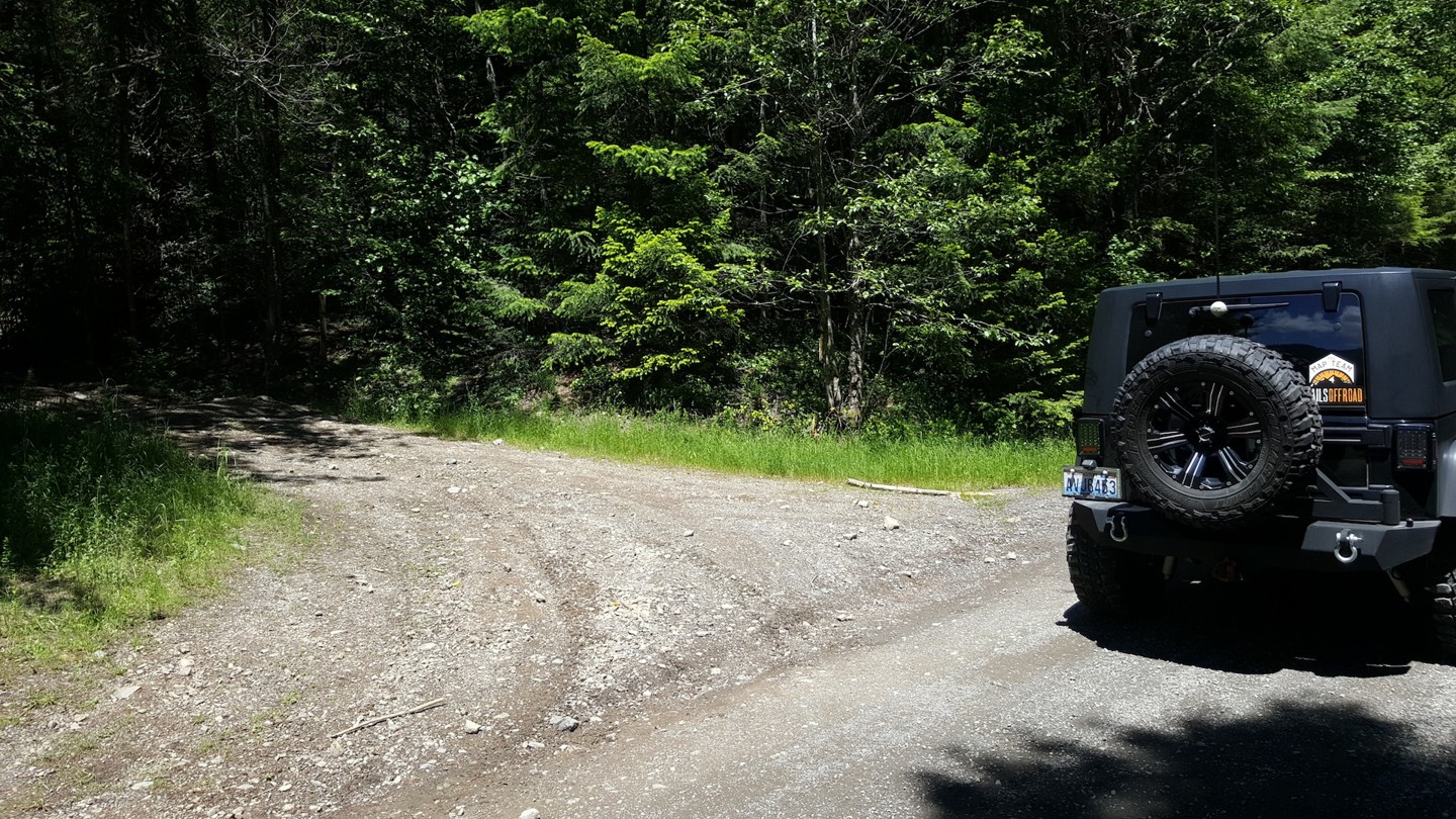
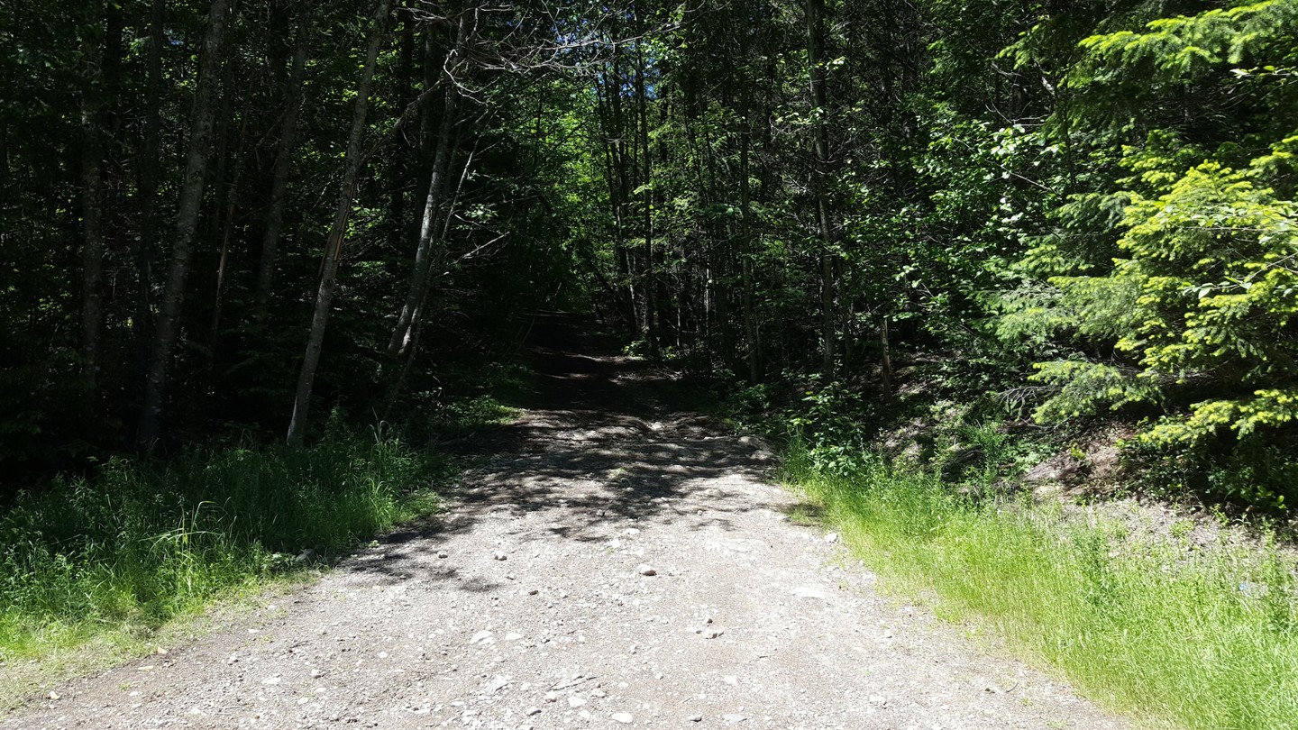
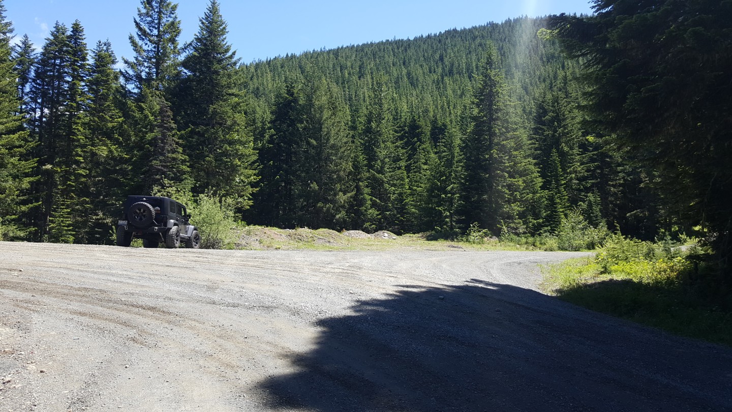
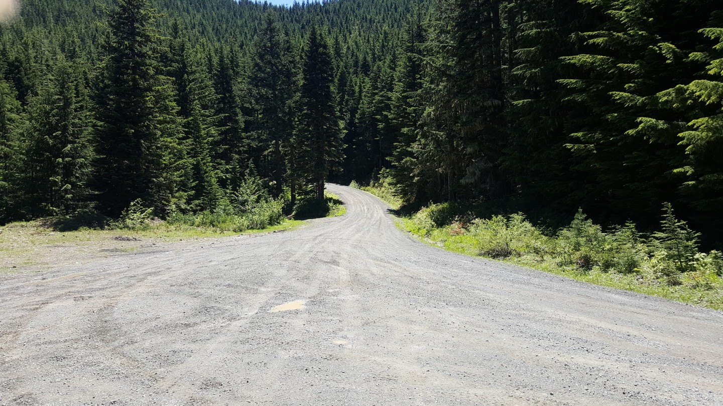
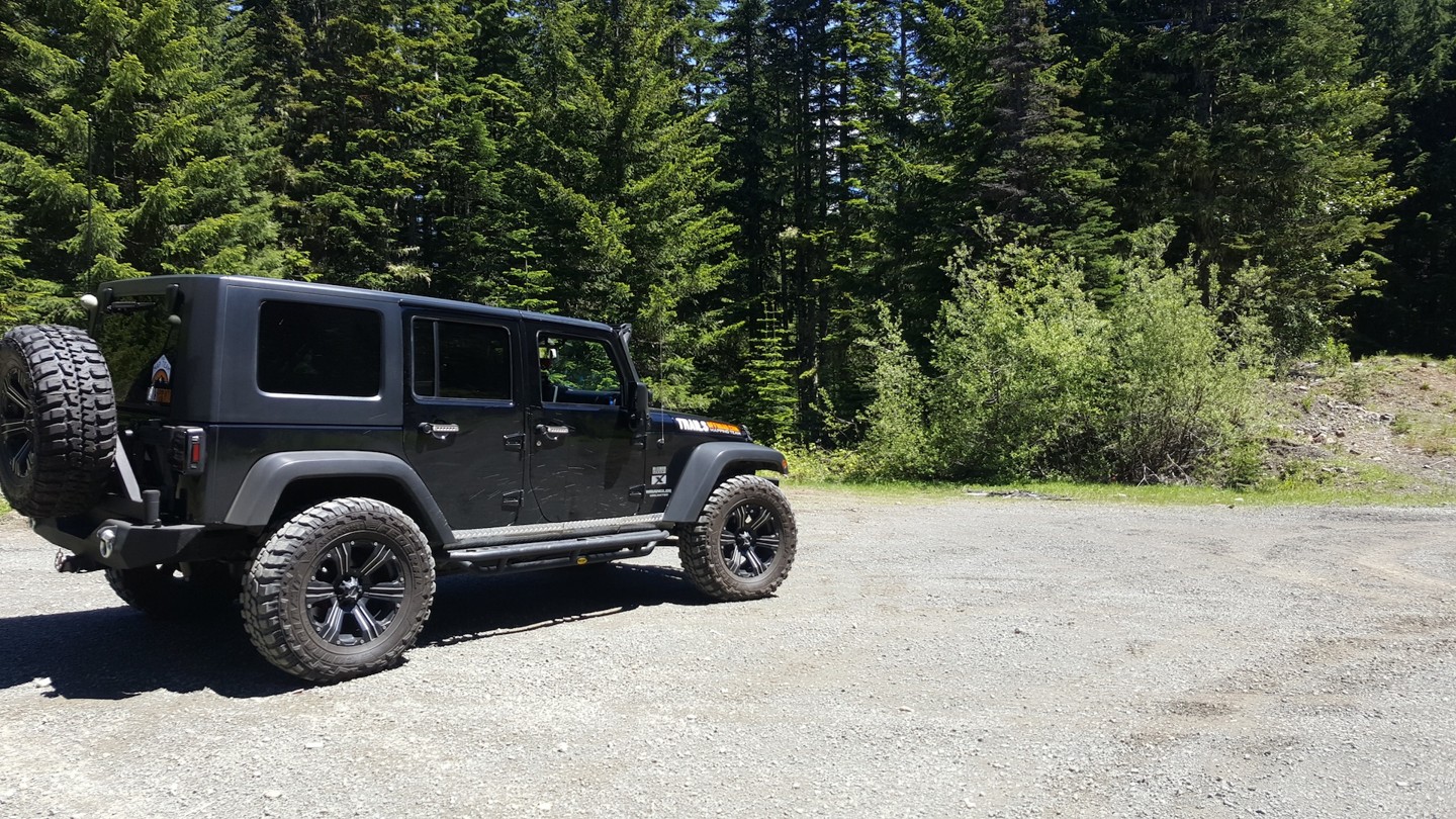
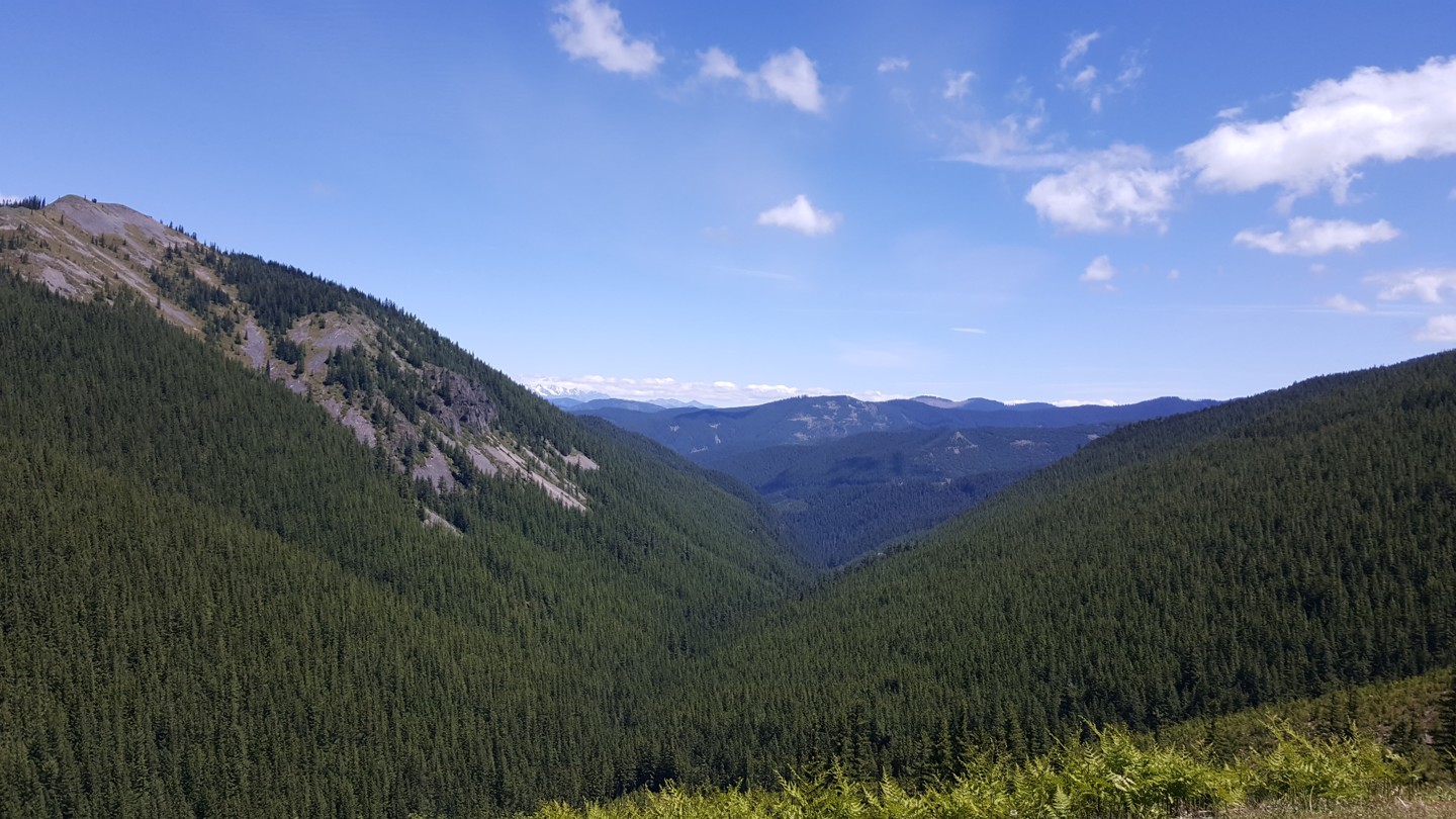
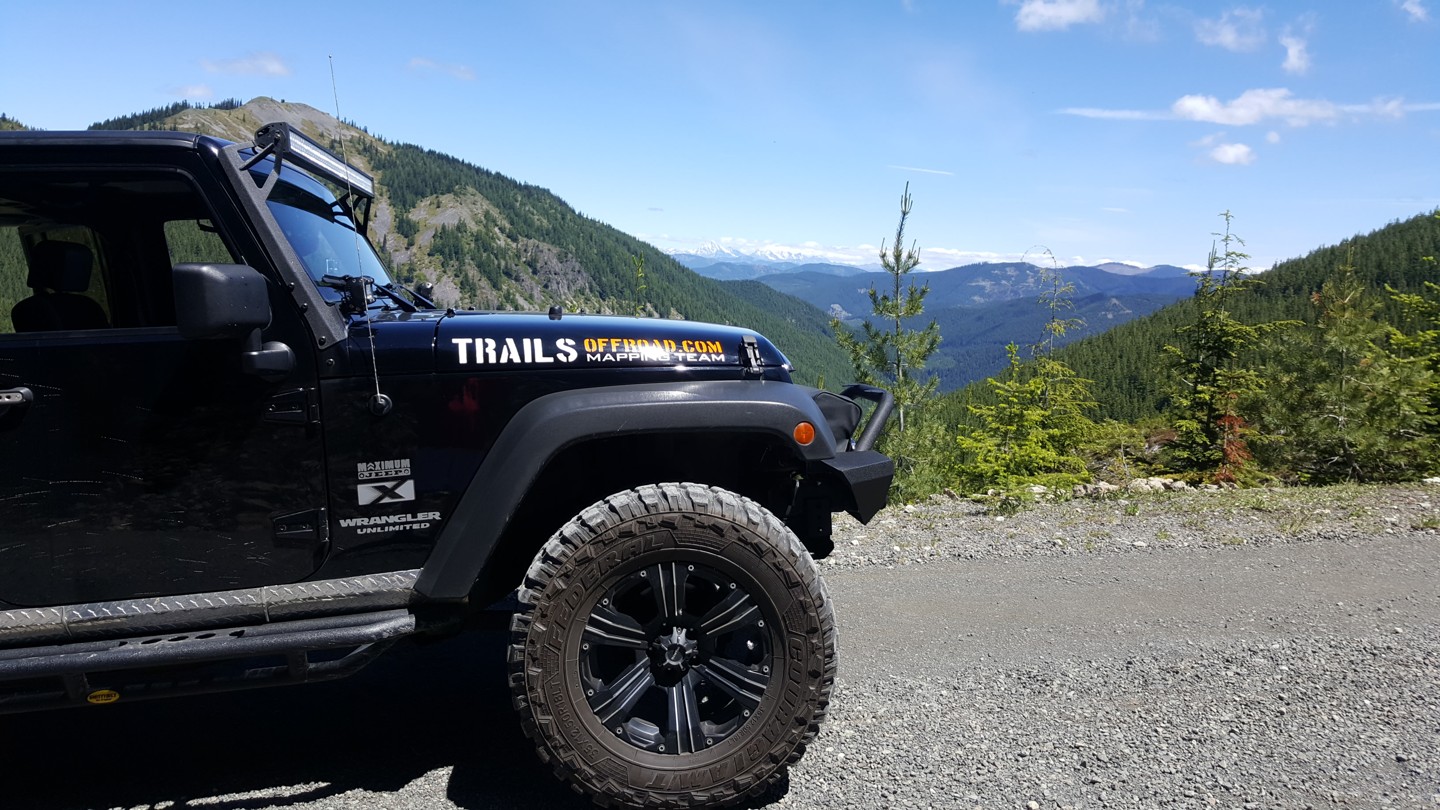
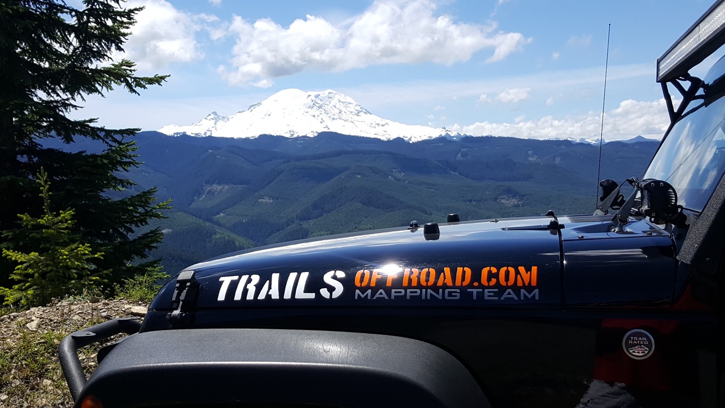
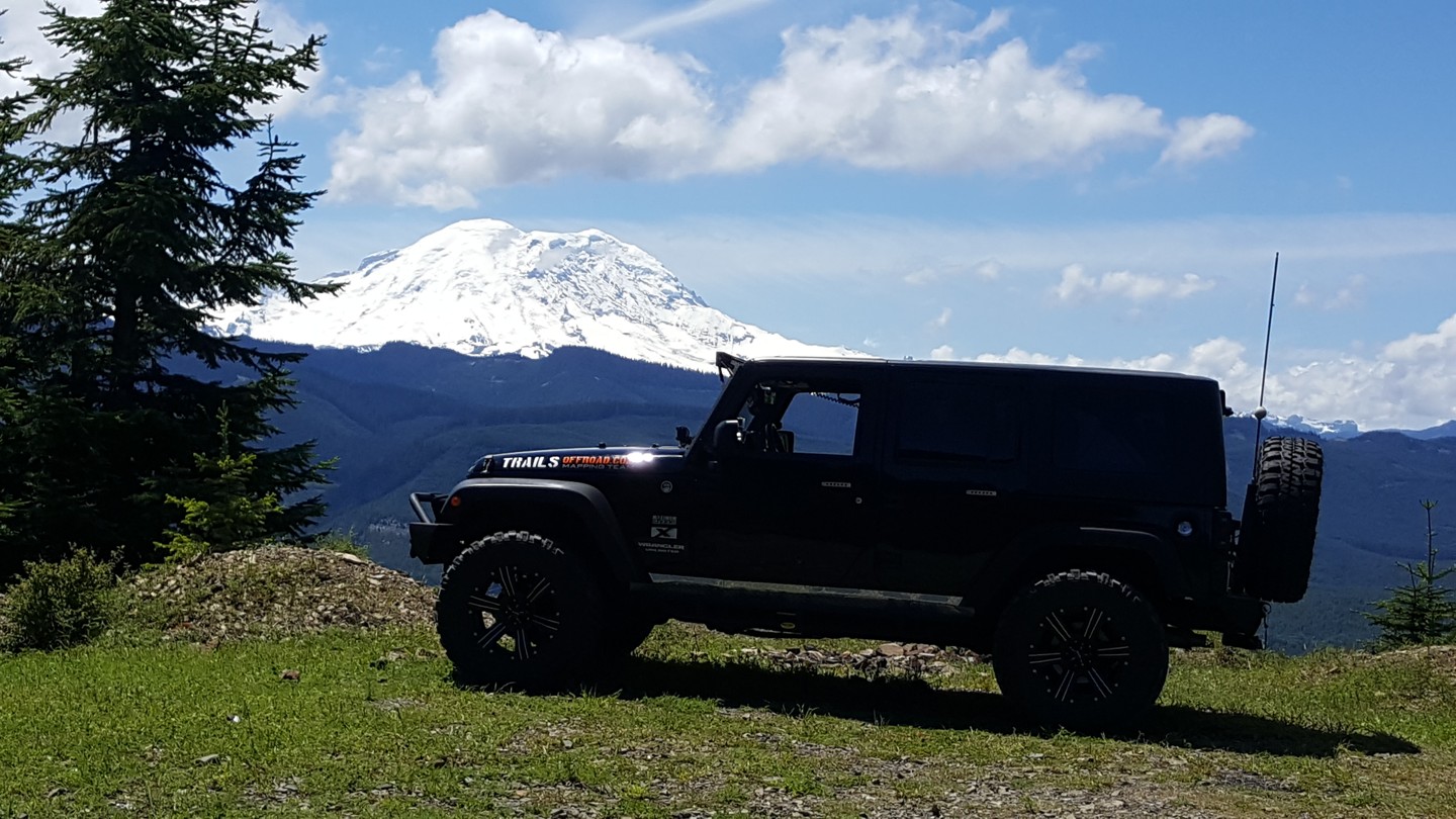
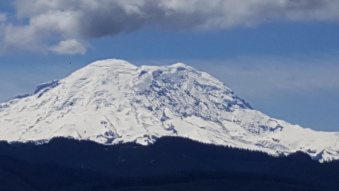
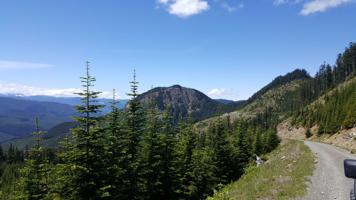
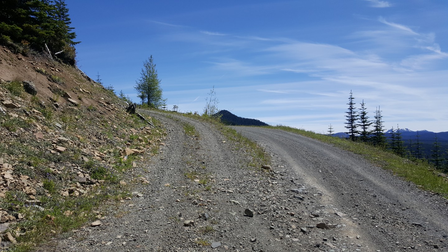
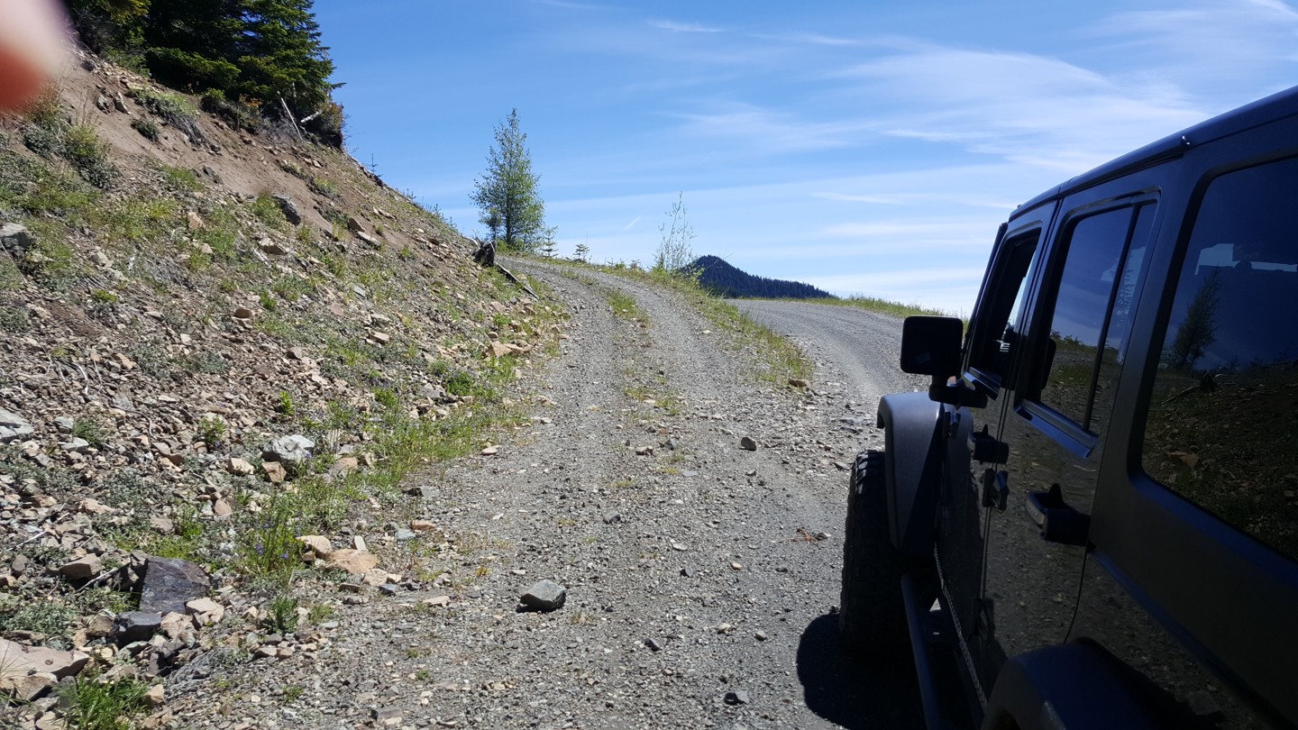
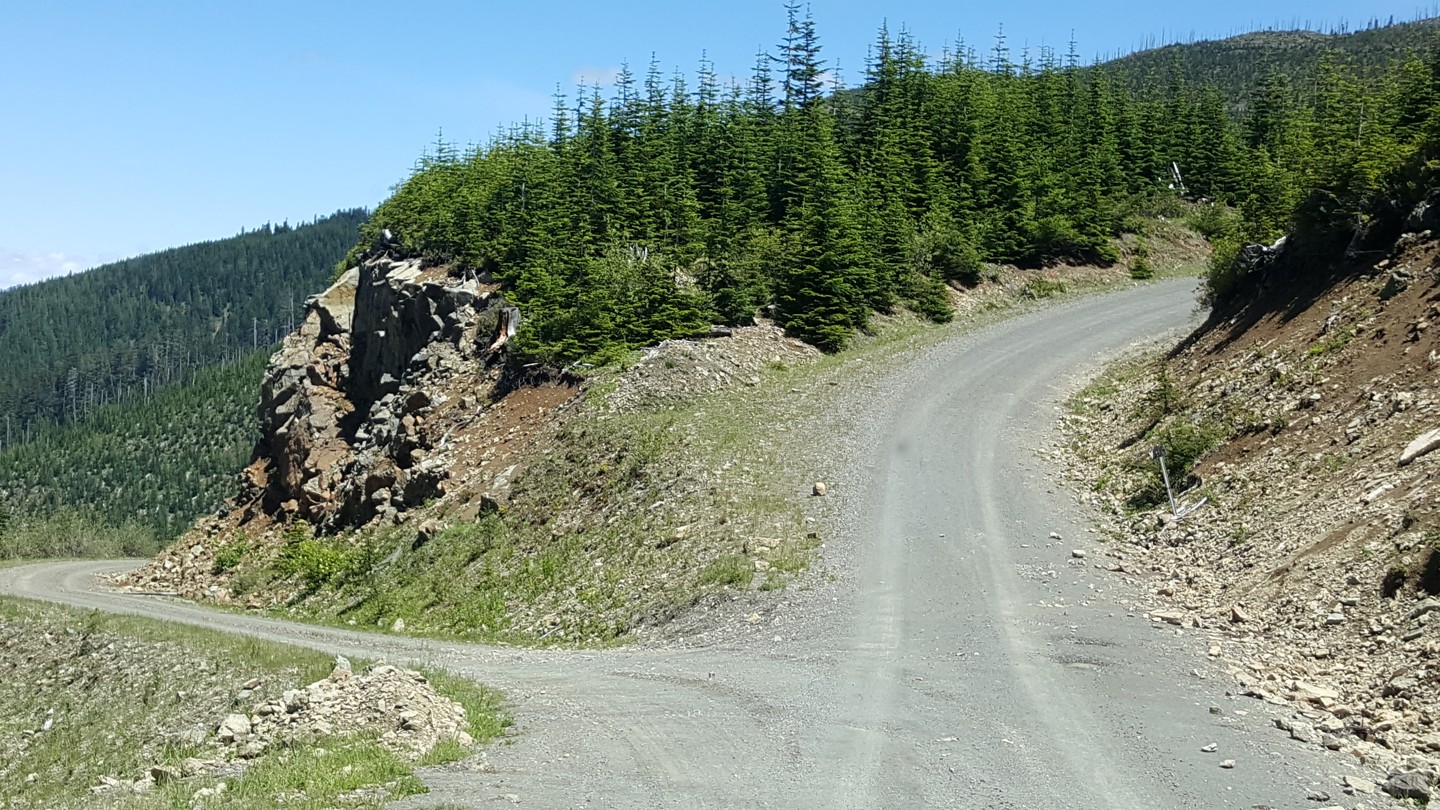
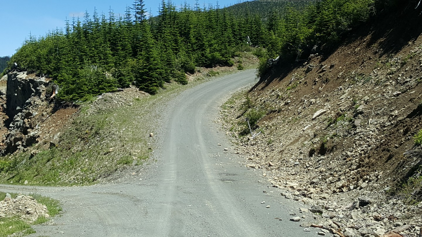
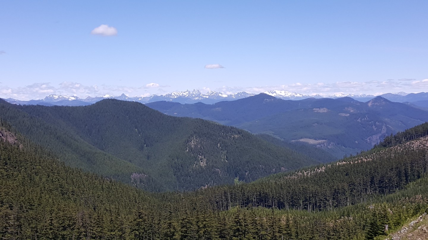
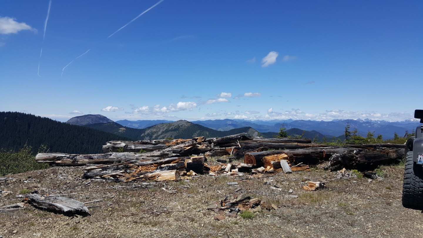
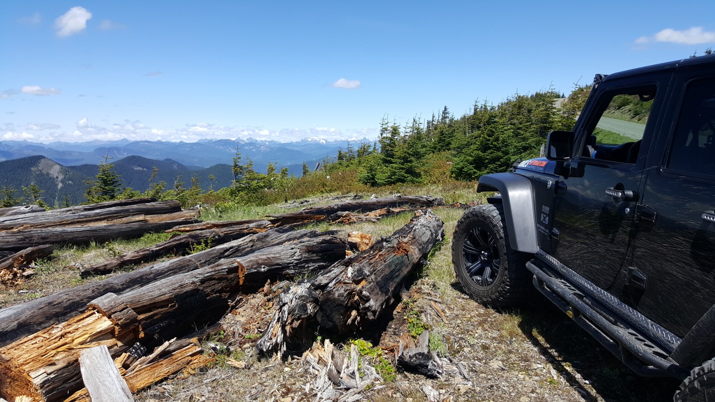
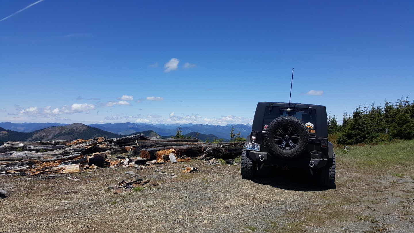
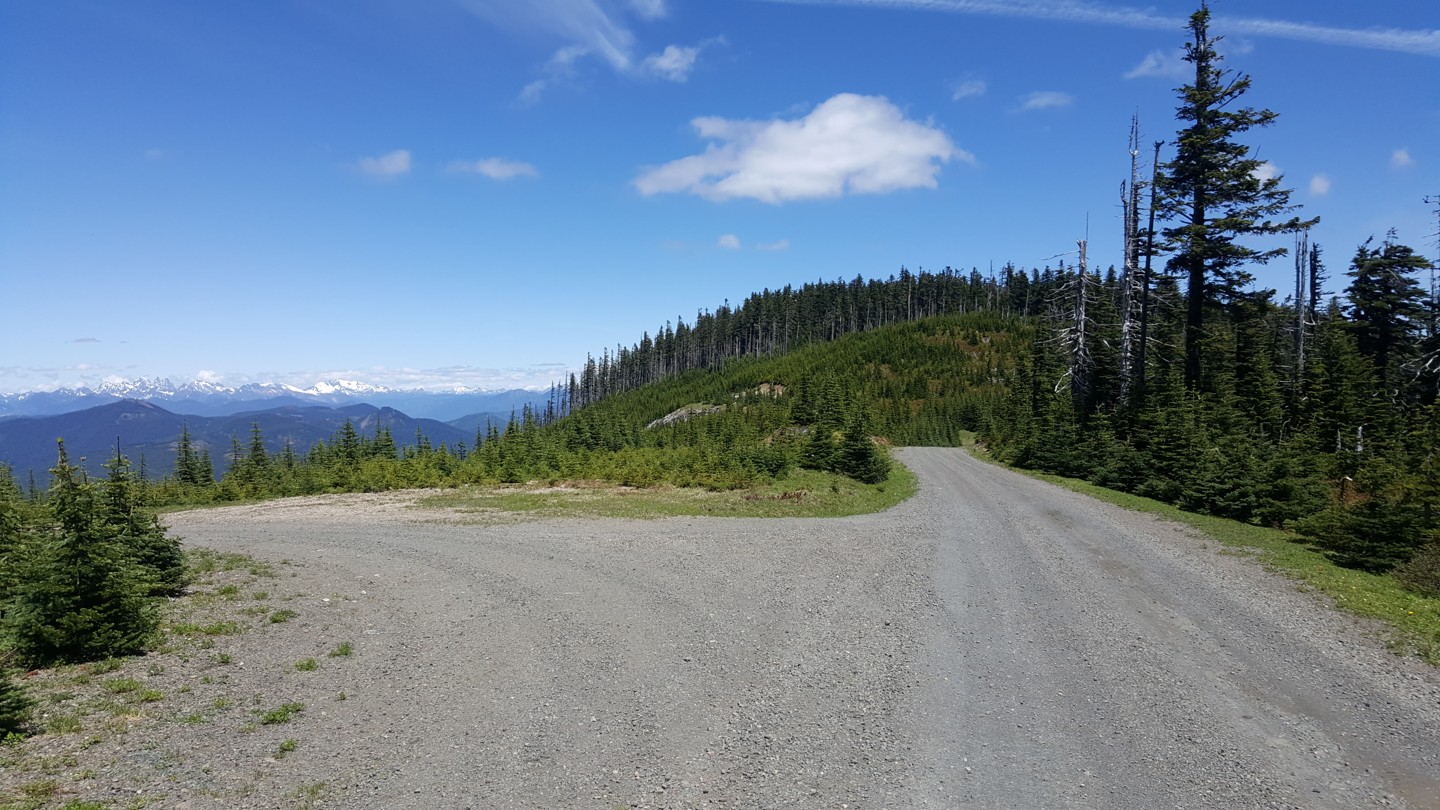
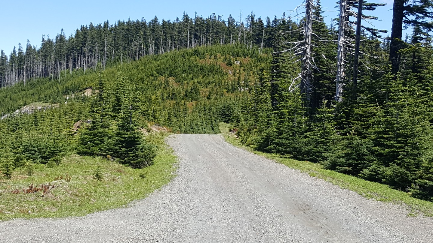
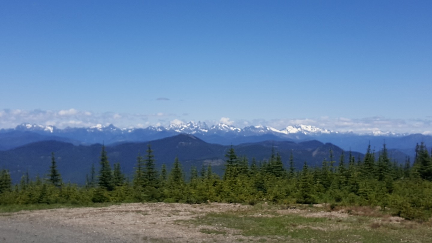
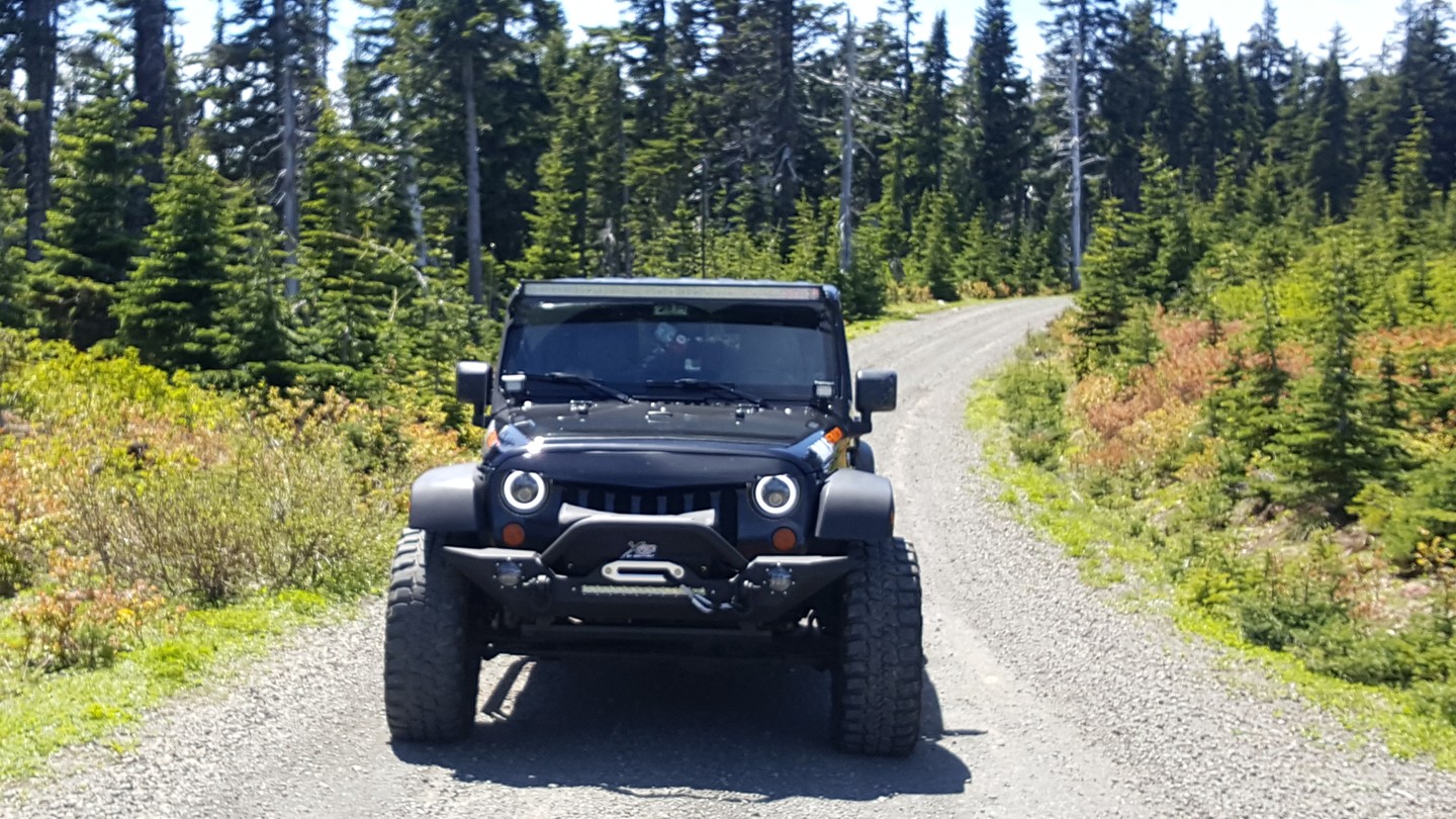
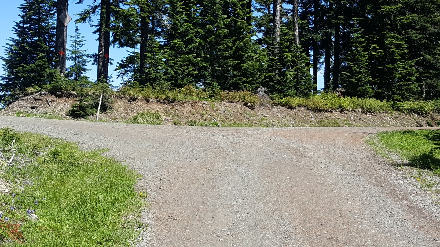
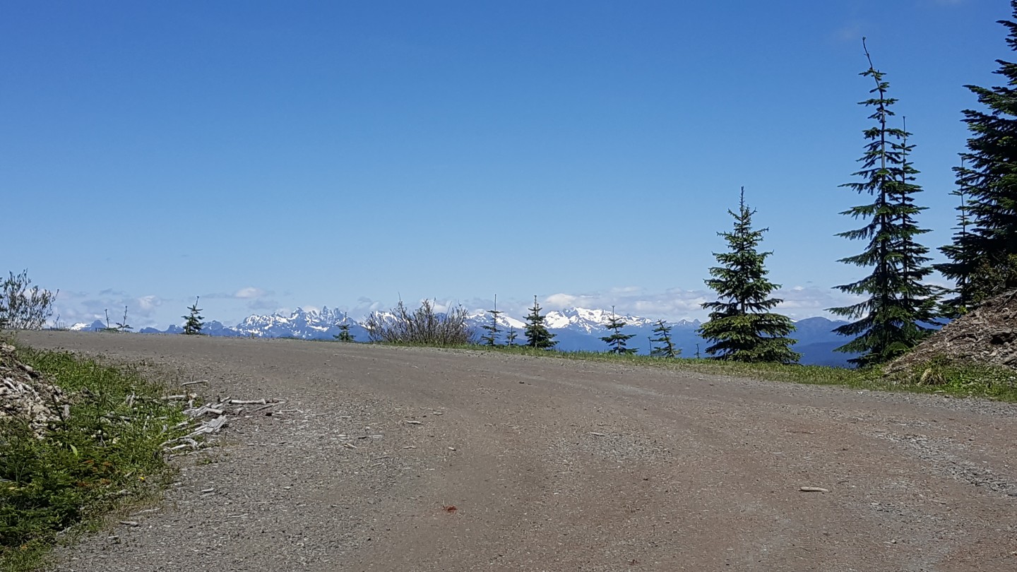
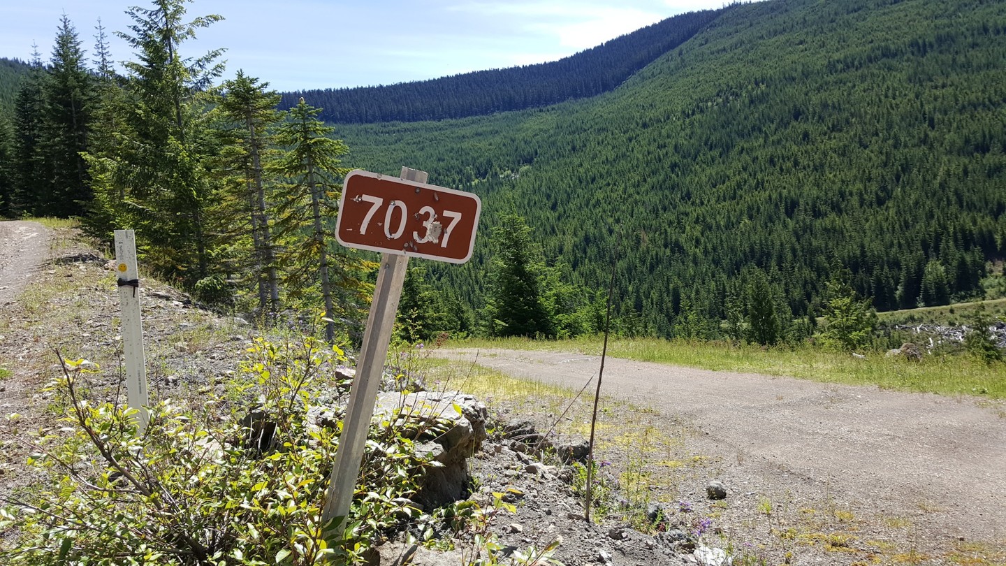
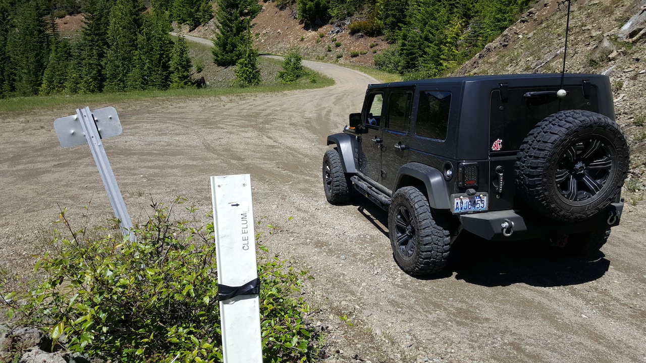
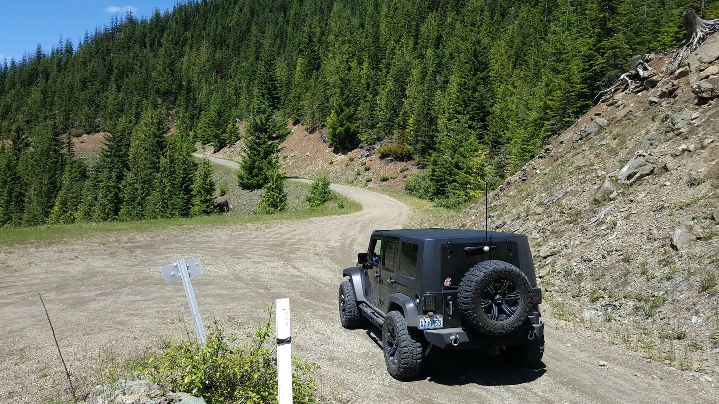
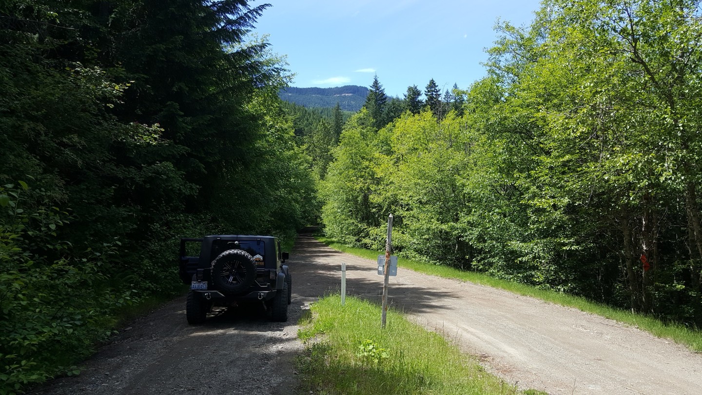
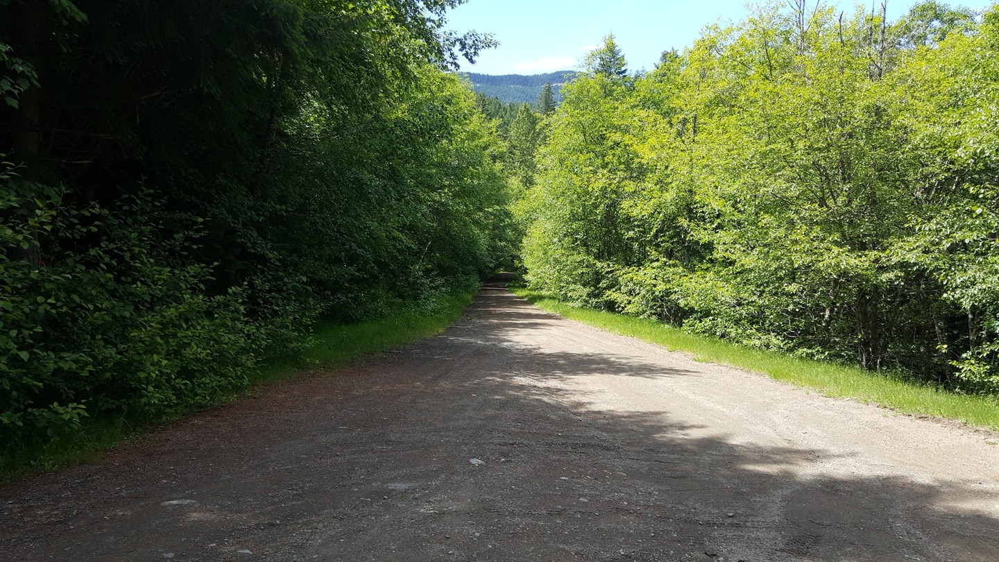
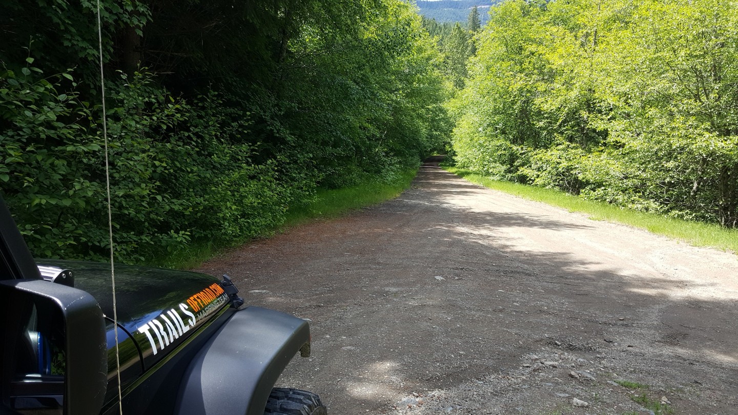
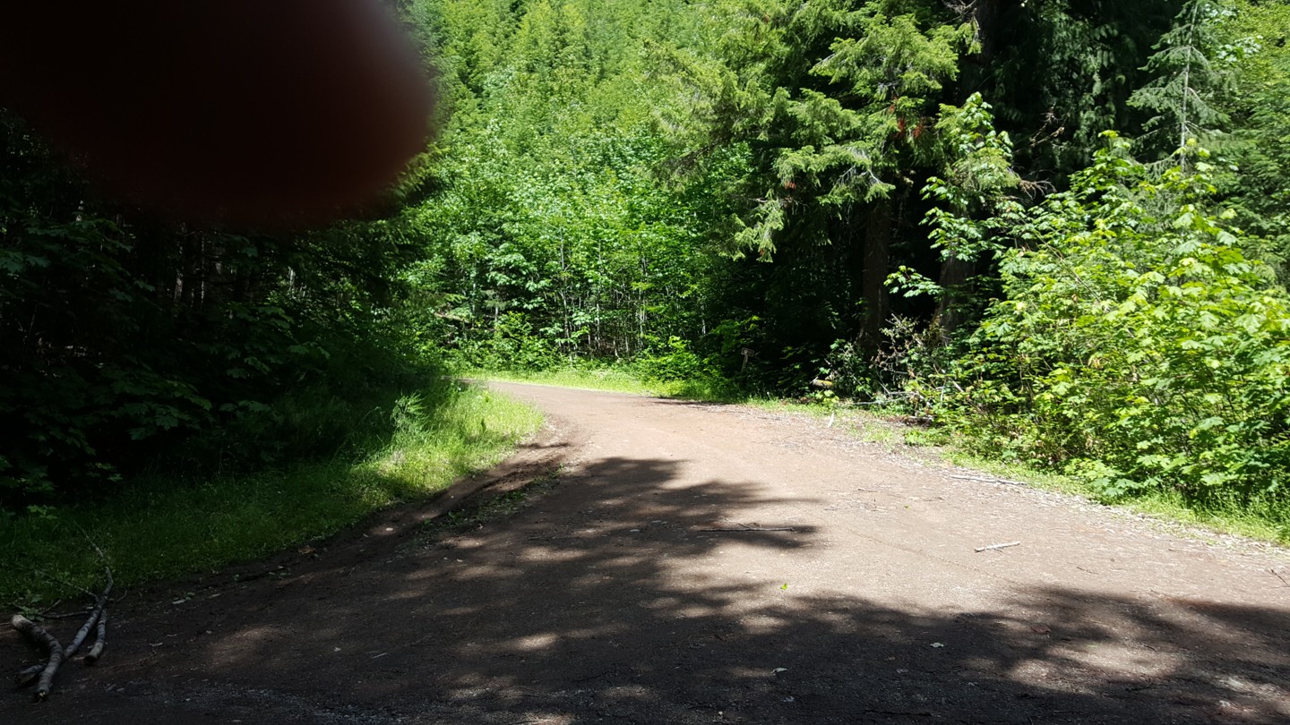
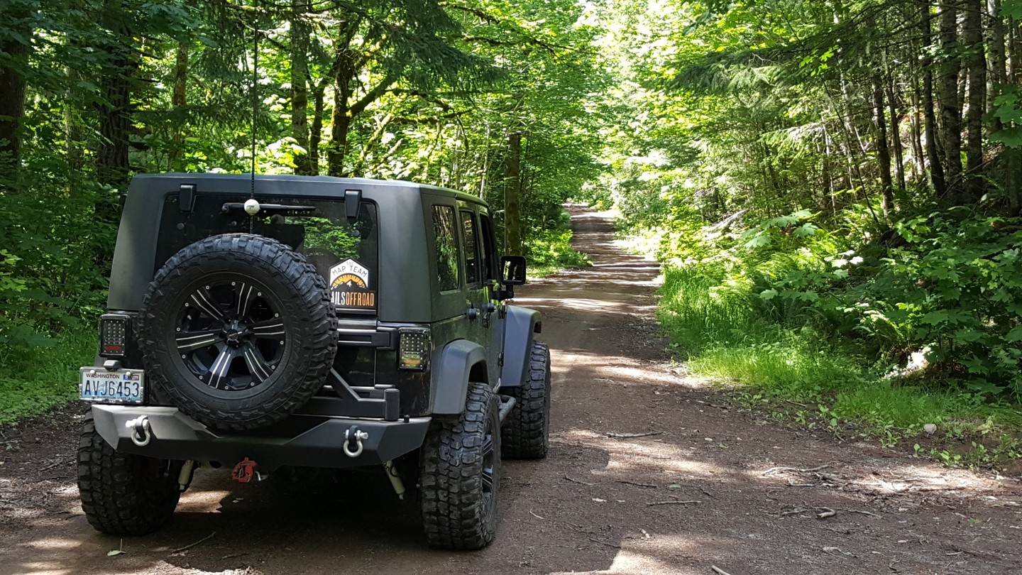
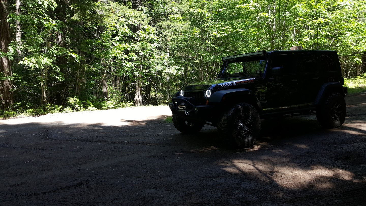
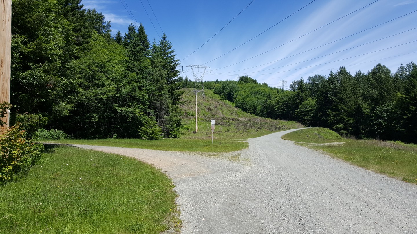
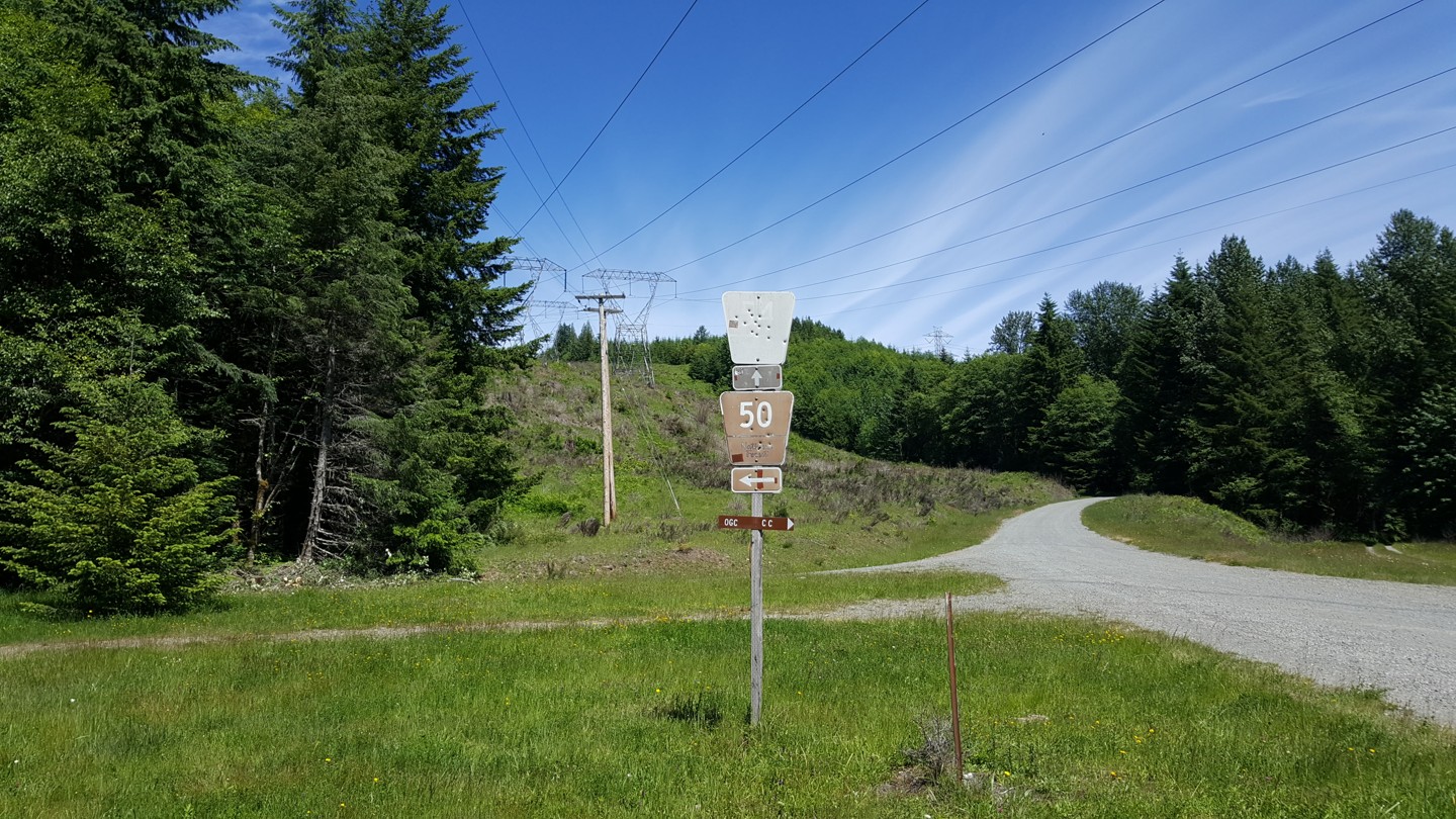
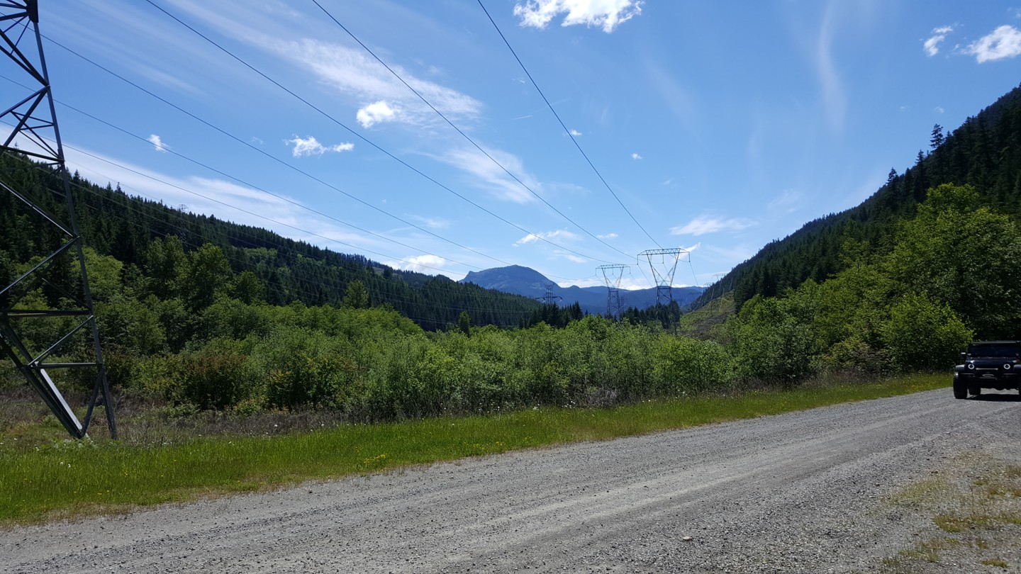
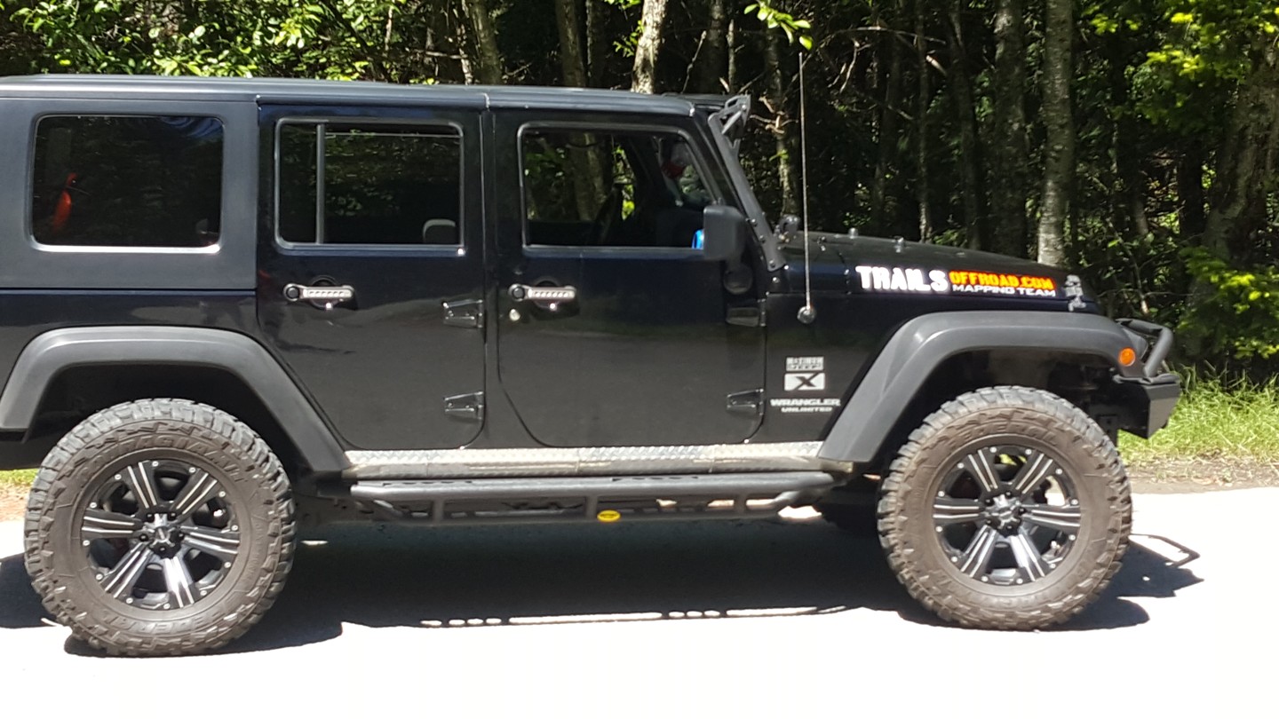
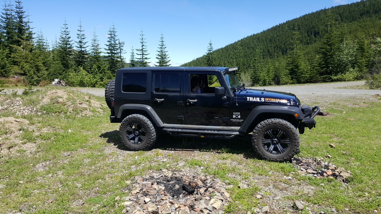
Stampede Pass is a mountain pass through the Cascade Range just south of Snoqualmie Pass in Washington. Its importance to transportation lies almost entirely with railroading, as no paved roads cross it. The pass was originally created to build and maintain the railways that traveled in both directions across the Cascade Mountains in Washington State. This route will take you over over the pass on many different forest service roads. The roads are fairly well maintained and the pass can be completed by any suv or truck. The incredible views of Mount Rainier and the surrounding Cascade Mountian range makes this 30 mile trip well worth the time. The roads are wide enough for vehicles coming the opposite direction to pass.
Trail Difficulty and Assessment
Start your next adventure on NF-7030 to Stampede Pass

Upgrade your Membership
Unlock all of the details on every Trail Guide and Scout Route.
Start a 7-day Free TrialUploading to Gaia GPS
Share Trail
Trail Navigation
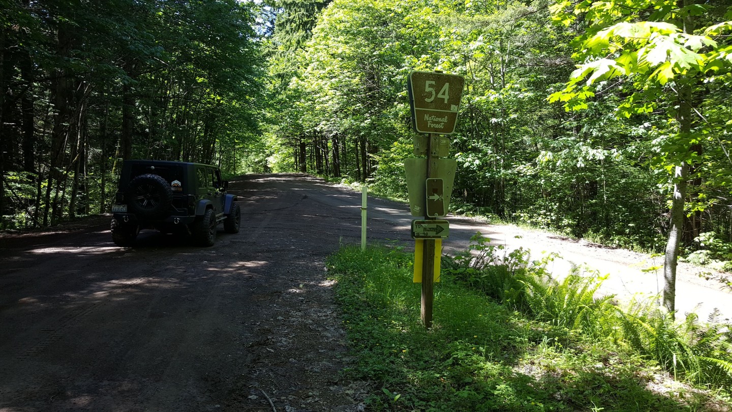
Stampede Pass is a mountain pass through the Cascade Range just North of Greewater, Washington. You can travel in both directions, (North and South) between Hwy 410 and I-90. It is comprised of many forest service roads (NF-7030, NF-7036, NF-7040, FS-52, FS-54, and FS-50). The roads are well maintained and easy to cross for any SUV or Truck. The views from the top are spectacular and make it well worth the 30 mile trip.
Trail Reviews
Seasonal Closure
Rated
4/5
Visited: 12/03/2022
Difficulty Accuracy:
Harder
Made it from FS Rd 70 to Waypoint 4 but continued up 7030 to 7034 to stay in a Christmas Tree cutting area. After the week's winter weather in the western Washington lowlands this route was covered with fresh, deep powder; as of 12/3 previous packed tracks are only available to Waypoint 4. I saw some folks playing a bit further up 7036 from Waypoint 4 but they did not get far before the fresh snow turned them around.
Bottom line it's snow wheeling season so even mild forest roads can become impassable to milder rigs and be prepared with recovery equipment (not just for your group but other groups that over extended their reach).
Seasonal Closure
Visited: 11/06/2022
Snow at Waypoint 3, by 4 it was compact snow across the entire road. Made it up just fine w/momentum but I absolutely regretted my hubris on the return trip. The compact snow was more like ice and no amount of slow rolling / light braking would avoid breaking free and just sliding downhill, being able to pick between 'select a direction' or 'attempt to slow down but actually just spin out' , neither option being great.
Video is on the downhill trip before the incline started. Was quite pretty.
Open
Rated
5/5
Visited: 10/29/2022
Difficulty Accuracy:
Spot On
Love this drive. Great intro to over-landing. 4-high is all you need. And yes, I recommend going from I-90 south. GPS on my phone in the app worked fine the entire way. Even had cell service at one of the early 5000’ parts of the ridge.
Encountered a near 6 to 8” deep section of snow on the first real down hill pitch going down the Green Water side of the high elevation ridge. Already rutted out enough not to make me worry. But the first person to hit that section was braver than I.
After the next snow in early November that section will be closed or impassable with a normal rig.
Open
Rated
5/5
Visited: 08/20/2022
Difficulty Accuracy:
Spot On
Just completed this whole trail and it was very fun and scenic. I will agree with the rest of the reviewers by stating that you should complete this trail in reverse as to what has been posted. I entered the trail right off of I90 and completed it on the other side. This route would give you a little bit of a challenge by climbing up the mountain in the loose gravel as opposed to driving down the mountain. The views were perfect and there were quite a few vehicles on the first 75% of the trail.
Please be careful in driving around the corners, I came across few dirt bike riders. Other than that this is a very doable track with a stock 4x4. Last portion of the trail has some challenges in which you're driving up the slope which has some large sharp boulders. Take it slow and easy and you should not have any issues.
Open
Rated
5/5
Visited: 07/30/2022
Difficulty Accuracy:
Spot On
Also going to agree with the two previous posts,
Anticlimactic going south to north. I was in Enumclaw and wife was told not to come
into work so…free time. This trail is completely doable in a Ram 2500 Megacab, it has a 3.5” lift with 37s and a Cummins, it’s usually my tow rig/mall crawler. Like other posts have said the trail is not very well marked. It’s a fairly easy through trail. GPS quit on the north side so ended up taking one wrong turn, but quickly recovered.
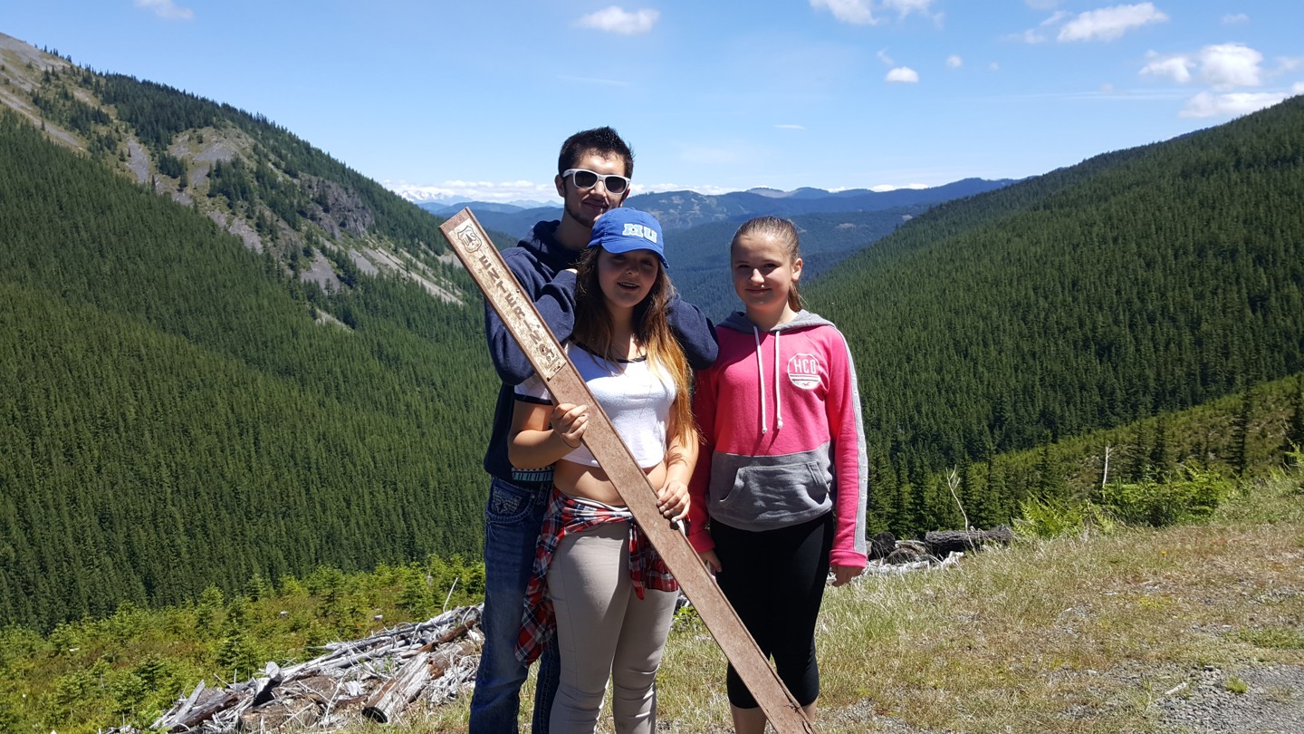
From the Community
Start a free trial and get this level of detail on every trail
guide
Start Free Trial
Print Trail Guide
Purchase
Company
Community
Recent Updates
By clicking "ACCEPT", you agree to be the terms and conditions of each policy linked to above. You also agree to the storing of cookies on your device to facilitate the operation and functionality of our site, enhance and customize your user experience, and to analyze how our site is used.