Please wait - Uploading to Gaia GPS
Gemini Bridges

Trail Information
Difficulty - Mandatory
2 -
EASY
Difficulty - Optional
2 -
EASY
Status
Open
Distance
13.31 mi
Duration (one-way)
About 2 hours
Highest Elevation
6033 ft
Shape of Trail
Connector
Typically Open
Year Round
Best Direction
N/A
Official Road Name
B118
Nearest Town
Moab
Nearest Services
Moab
Management Agency
Bureau of Land Management
District
Moab Field Office
Highlights
Moab can quickly be described as "unbelievable rock formations," and the main attraction on this trail are the Gemini Bridges. Gemini Bridges are a pair of twin natural bridges that sit not far off this four-wheel drive road that are accessible via an easy hike. The bridges might be a destination, but this trail offers one heck of a journey! On top of being a great beginner road, the beautiful shelf section climbing out the valley, Gooney Bird Rock, other iconic offroad trails, and the overpowering view of the La Sal Mountains make this a trip you don't want to pass up.
Trail Difficulty and Assessment
Recommended Vehicle:
Stock SUV with High Clearance and 4 Low
Concerns:
Summary:
The 2 rating comes from the rocks encountered at Waypoints 3, 7, and 13-15.
Community Consensus
1 votes
27 votes
3 votes
Easier
Spot On
Harder
The weighted average of your fellow members agreement of our trail rating. As trail conditions change this helps us keep the community aware of changes.
Mandatory
2 -
EASY
The hardest part of the trail that you
cannot bypass - you have to drive it.
Optional
2 -
EASY
The hardest part of the trail that is
purely optional - you can bypass it.
Dirt and/or rocky road. Potential rocks and/or tree stumps less than 8" tall and/or vertical ledges less than 9" tall and/or near vertical ledges or waterfalls less than 12" inches. Good tire placement likely. Can be steep but with good traction. Read More about our Rating System
Start your next adventure on Gemini Bridges

Upgrade your Membership
Unlock all of the details on every Trail Guide and Scout Route.
Start a 7-day Free TrialUploading to Gaia GPS
Share Trail
Trail Navigation
Gemini Bridges runs between Highway 191 and Highway 313. It can be run in any direction. The views are typically better starting on Highway 313, driving west to east, opposite of this guide. However, most people drive it from east to west to reach the other connecting trails more quickly. The road is non-technical, but it can be rough. Starting from the east, you will travel up a bumpy shelf road filled with baseball to softball-sized rocks intermixed with a few slickrock ramps. The shelf road portion can change in difficulty after any storm event or heavy traffic. Towards the top of the shelf road, it is only wide enough for one vehicle with a blind turn, and uphill traffic has the right of way. As you descend the shelf, the road will turn into a mixed surface of smooth dirt to slickrock, with minor ledges being present. The eastern portion of the trail is at a significantly higher elevation and will most likely have snow in the winter. There are no significant obstacles, and the road is suitable for any high clearance SUV with four-wheel drive and aired-down tires. Not airing your tires down will make for a rougher and bumpier drive.
1. Gemini Bridges Trailhead at Highway 191 (0 mi)
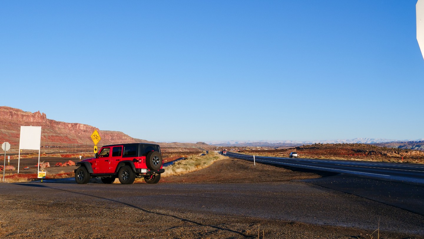
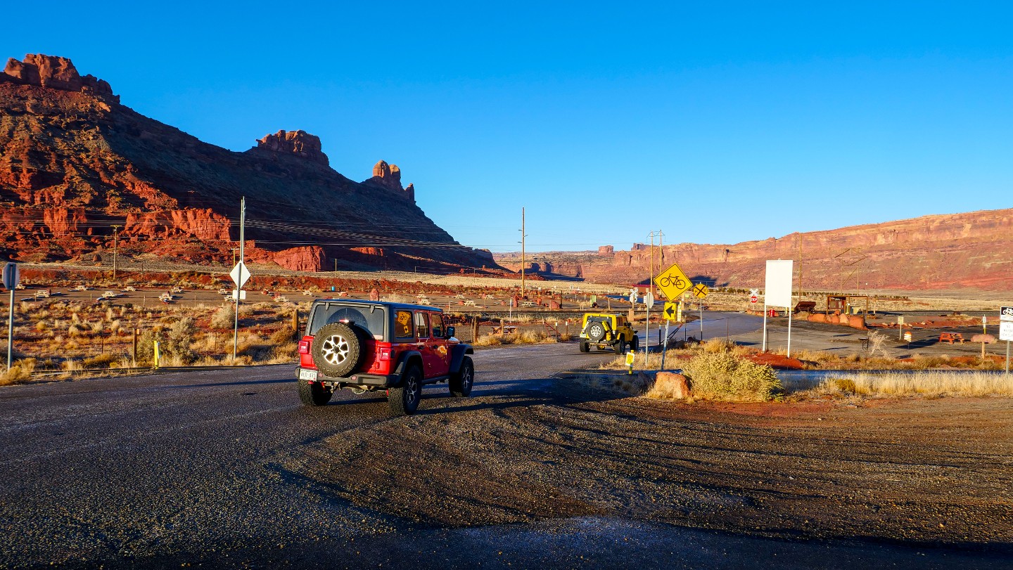
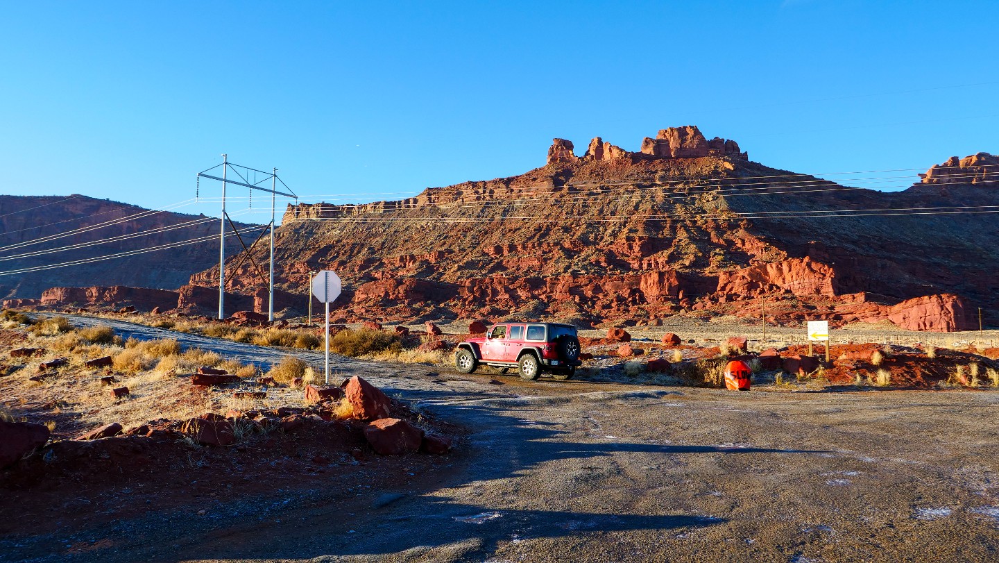
Turning off Highway 191 to the west, you will pass through a private and fee gathering area. Drive past the train tracks and elbow turn south to follow the cliff wall. The road from this point to the shelf can be washboarded.
2. BLM Kiosk - Continue Straight (0.8 mi)
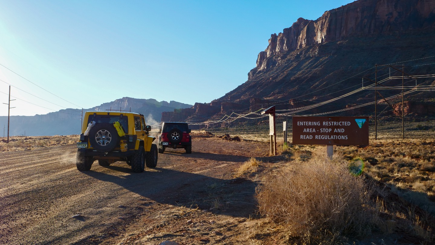
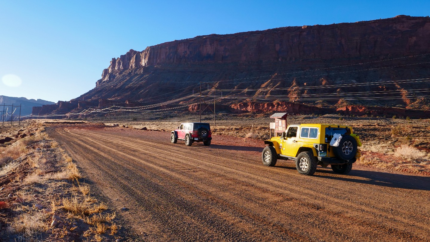
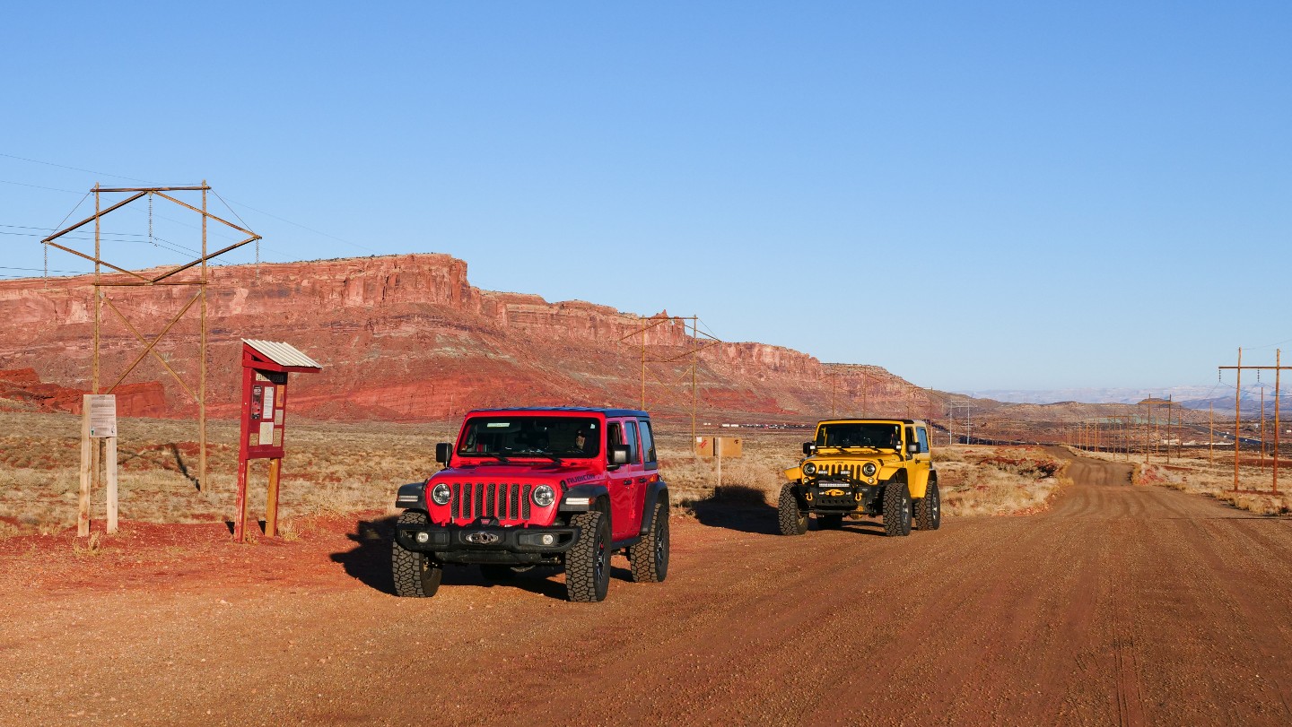
A BLM kiosk reminds you to stay on the trail. It is important to stay on the trail to eliminate trail braiding and widening the road, giving reasons for closure. Although rarely seen, Bighorn Sheep are in the area, and the signage asks that you drive quiescently. Quiescently definition includes 1) marked by inactivity or repose, tranquility at rest, 2) Causing no trouble or symptoms. Meaning - be respectful out there, drive slow, keep the music down, and blend in with the environment.
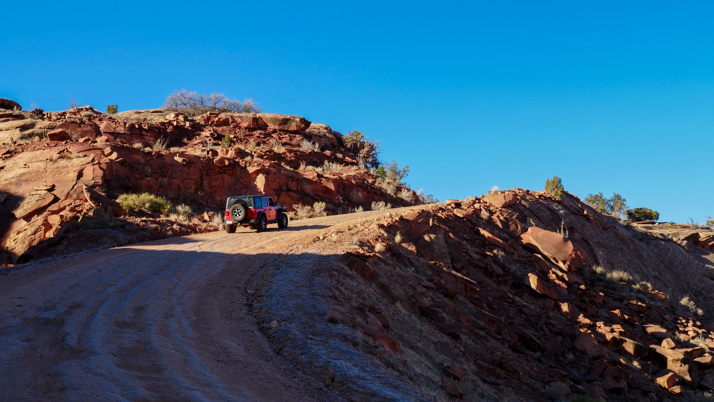
3. Begin Shelf Road - Travel Uphill (1.22 mi)
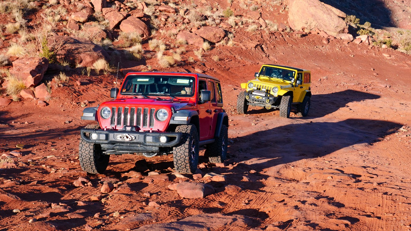
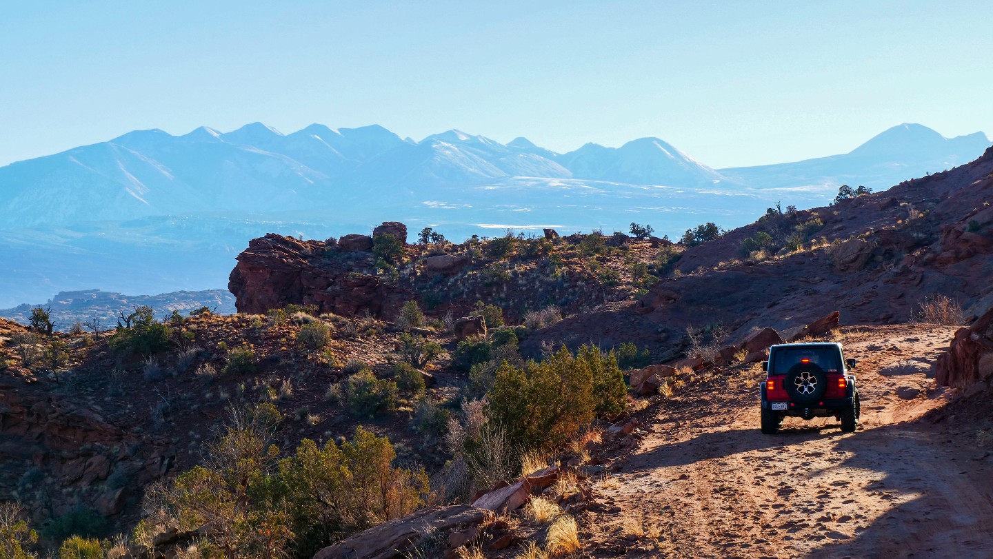
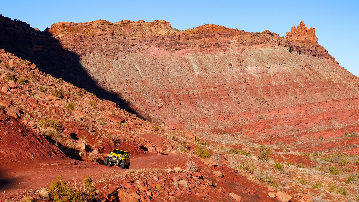
The uphill portion begins, and the road will quickly morph into a shelf road. The section is very rocky and can change rapidly. As you approach the top, keep your eyes open for oncoming traffic as the road will narrow. Having your tires aired down, as well as having four-wheel or all-wheel drive engaged, will be helpful for a smooth ride.
4. Top of Shelf Road (2.11 mi)
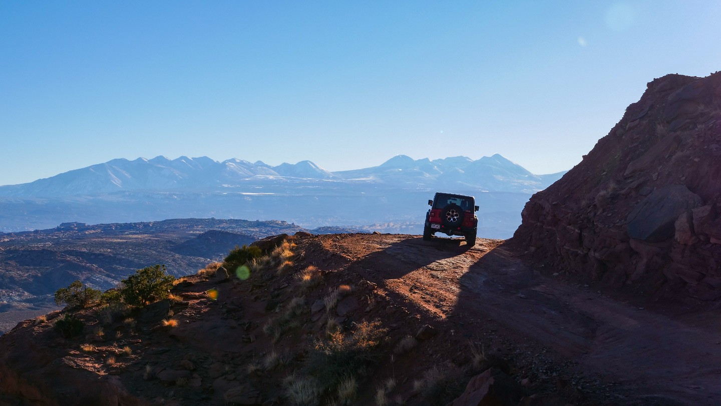
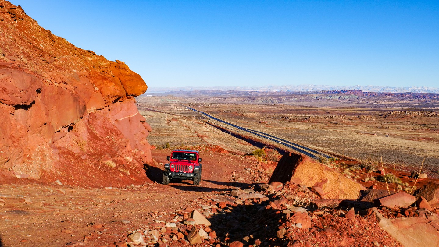
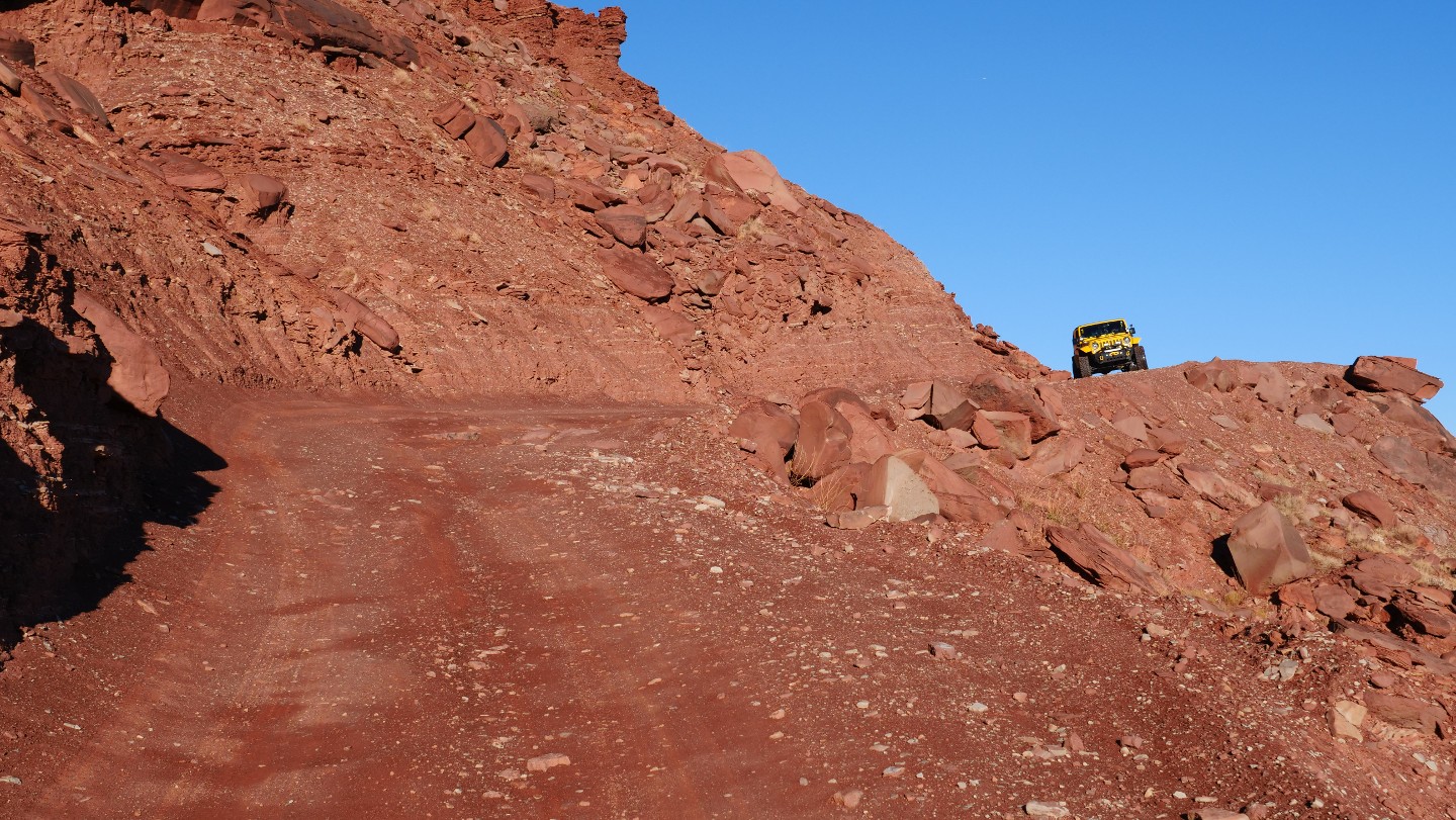
You are reaching the high point of the shelf road. It will become more steep and narrow with blind turns. If you drive this section of the road in the early morning, you will most likely have sun glare, so bring those sunglasses! Once you start to descend, the road will widen.
5. End of Shelf and D1904 Trailhead - Turn West (2.63 mi)
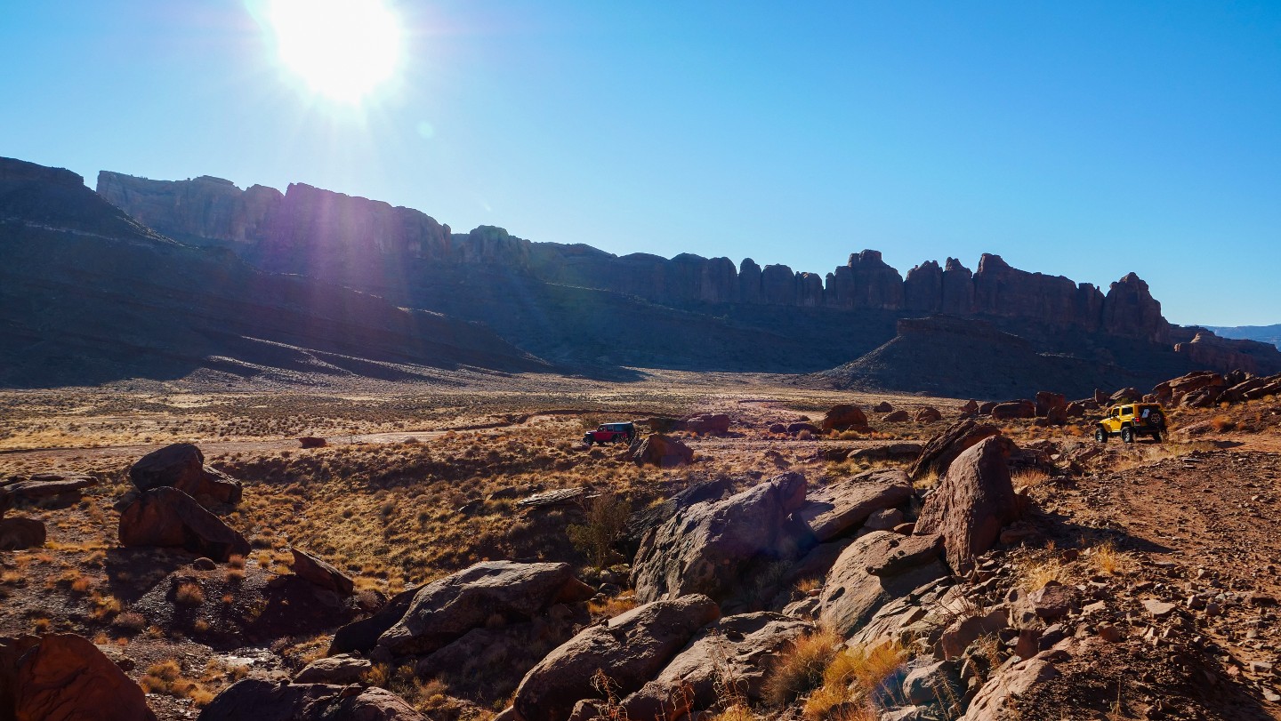
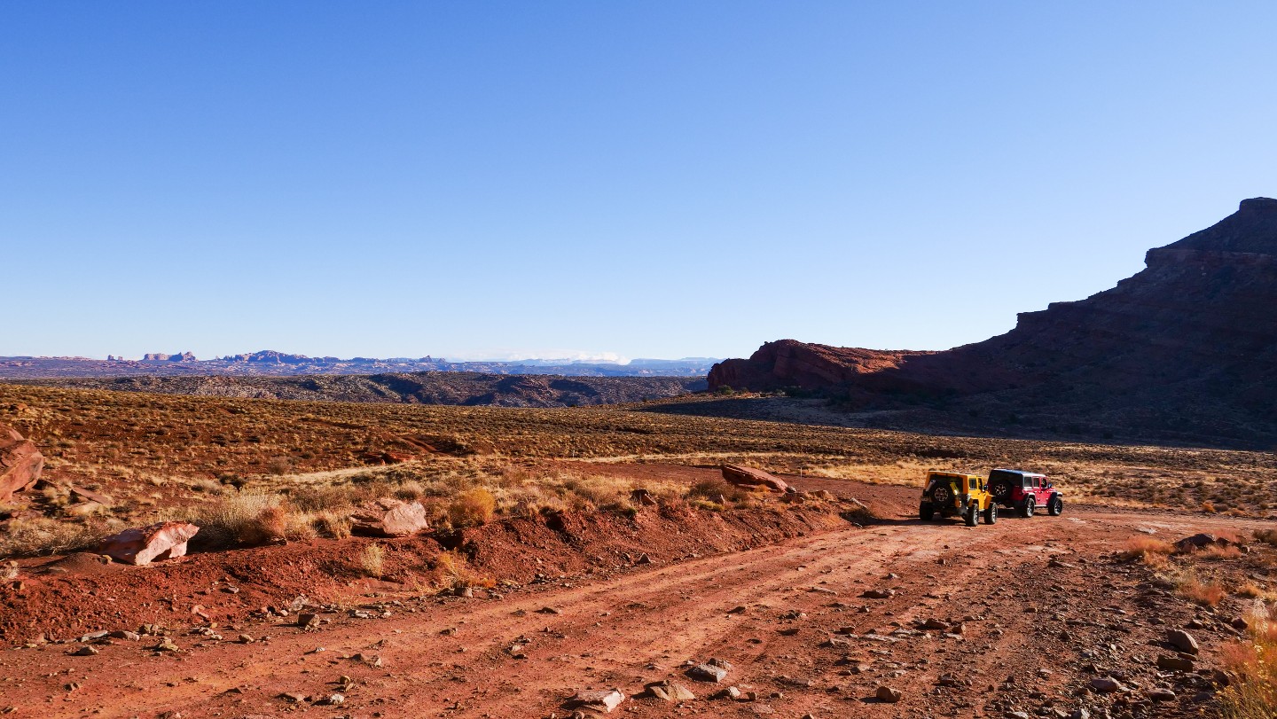
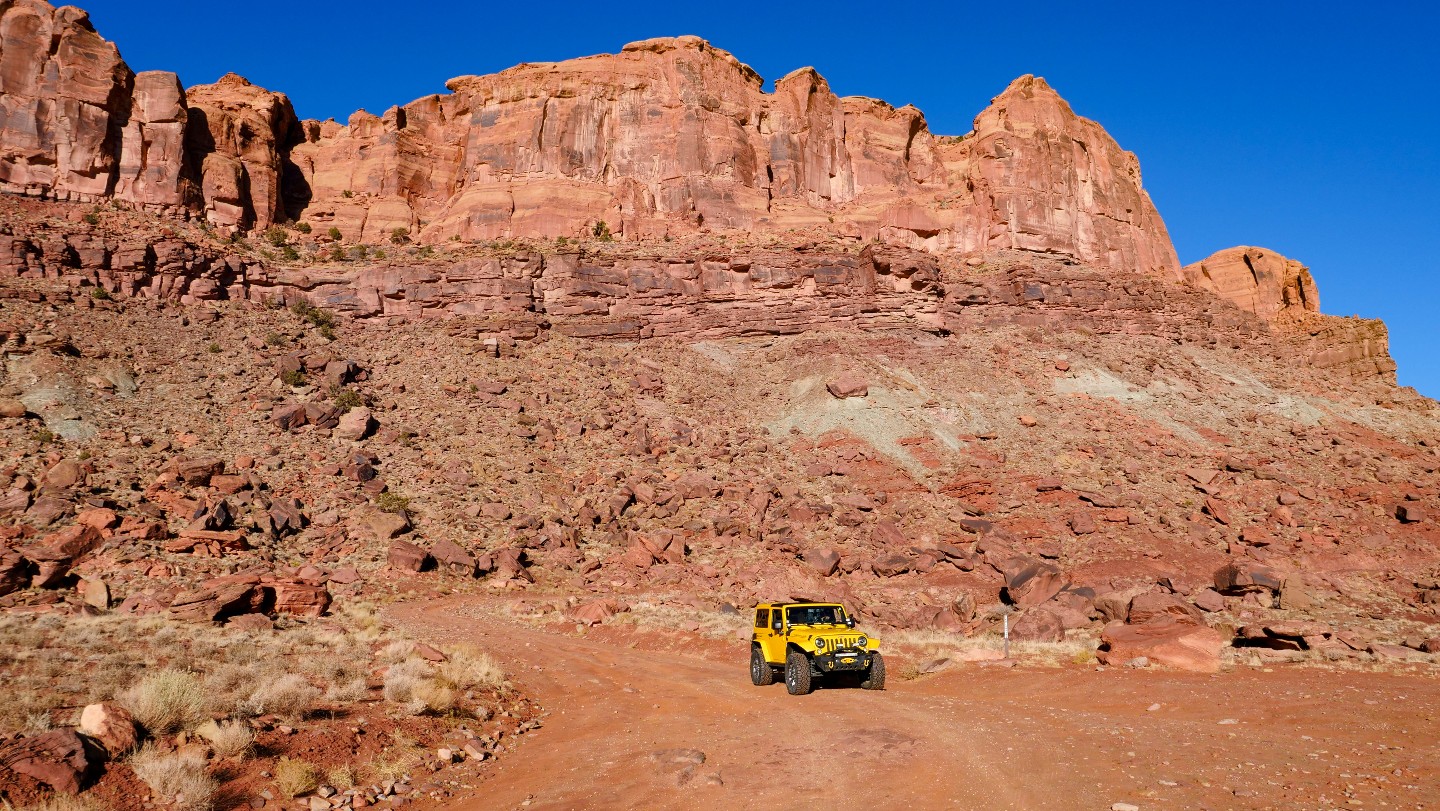
If you started driving Gemini Bridges from the last Waypoint, you will begin the shelf road section here. If you are driving it as the guide is written and you hate shelf roads, you can relax now that it is over, and plenty of splendor is in store as you drive the remaining portion of the road.
D1904, to the east, is a short spur trail.
6. Bride Arch and Camping - Continue Straight (3.99 mi)
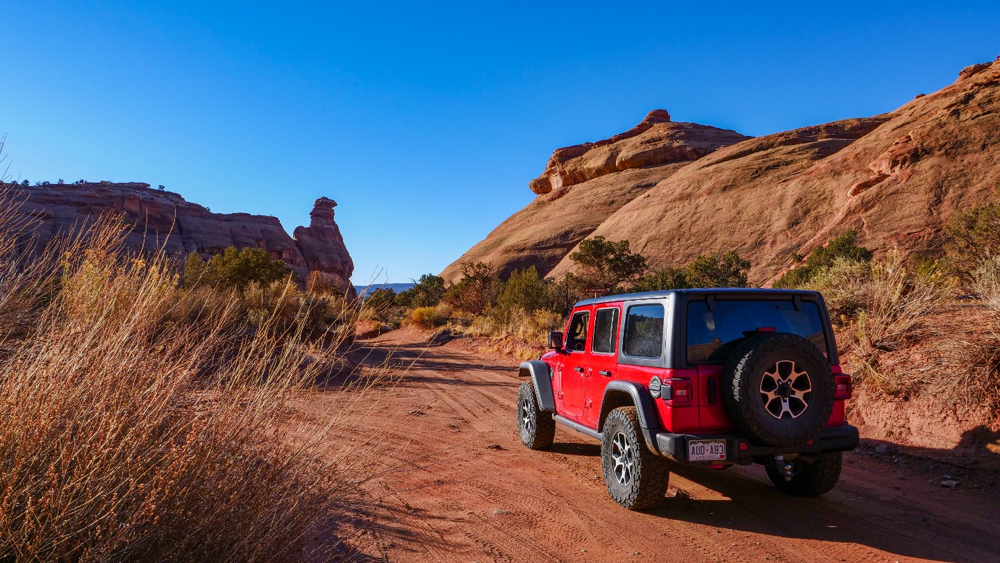
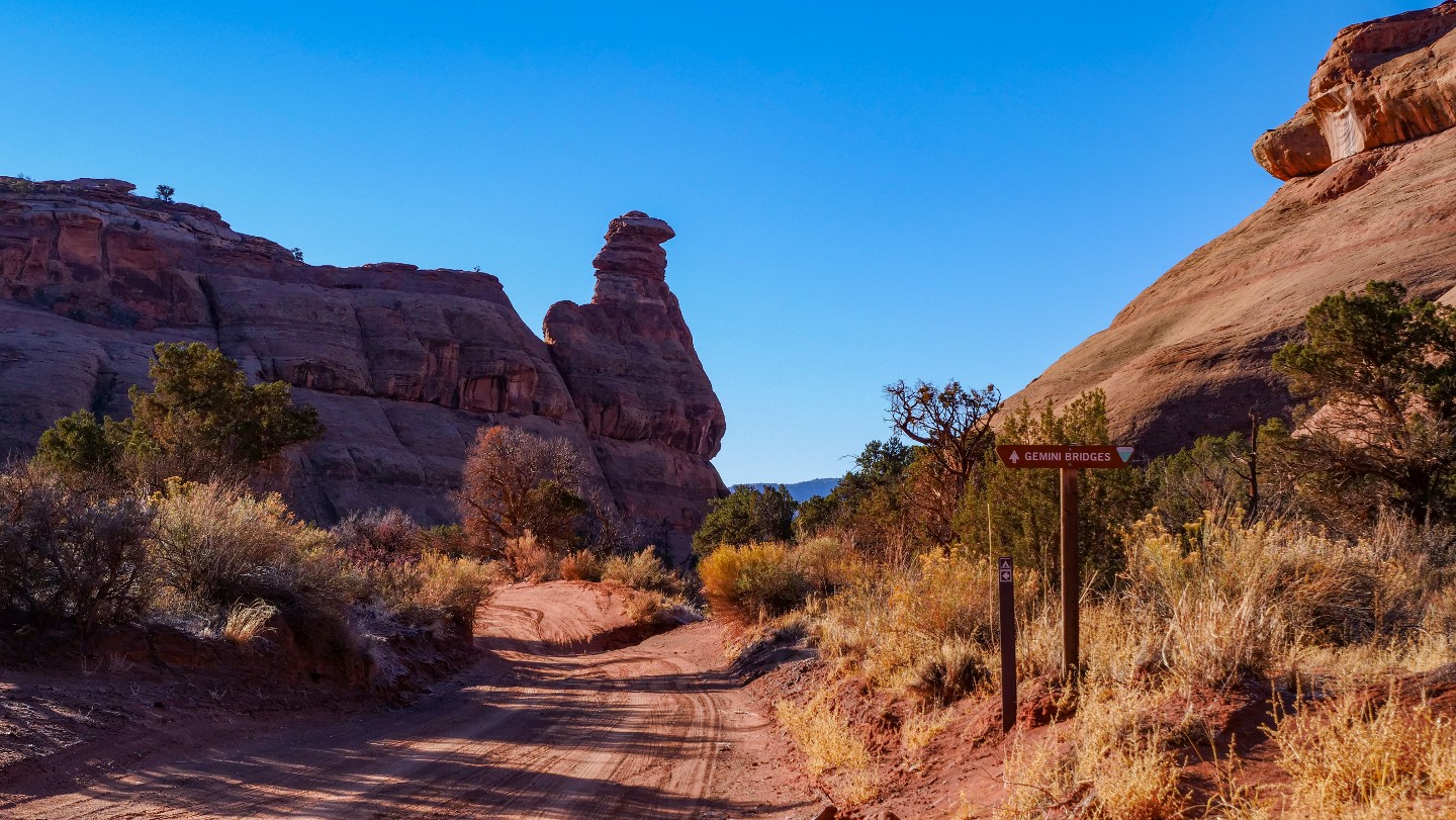
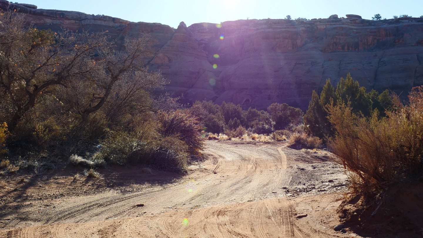
As you continue, you will see an interesting rock formation named "Gooney Bird Rock," which tells you that you are close to Bride Canyon and Bride Arch. Bride Arch is found on the east wall of Bride Canyon, which is to your south. Five first-come, first-serve free campsites are also in the canyon and are the only camping options on this trail. You can find more about Bride Canyon here.
7. Gooney Bird Rock (4.23 mi)
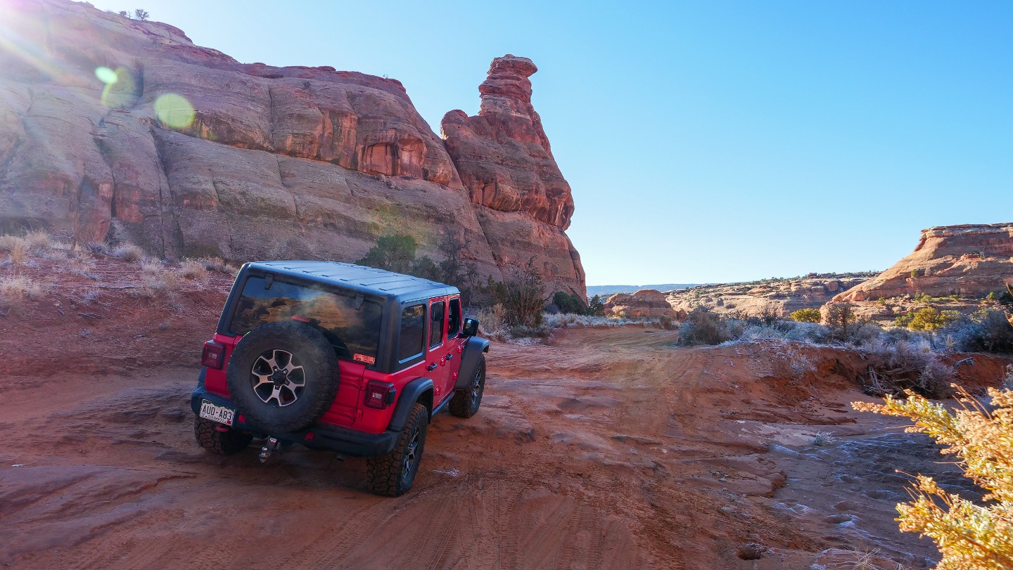
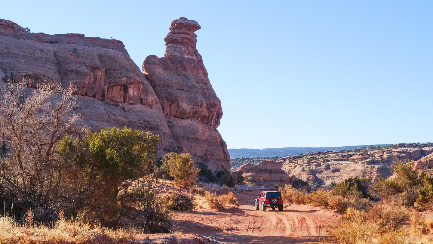
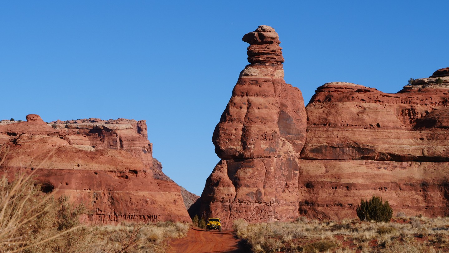
Gooney Bird Rock is a sandstone structure that resembles a "gooney bird." A gooney bird is a name used for albatrosses that live on islands in the south pacific. Your best bet for photo opportunities of this unique structure is on the west side in the open area.
Pay attention as a small shelf is sticking out of the otherwise smooth dirt road you will need to drive over.
8. Gold Bar Rim Trailhead - Veer North Uphill (4.81 mi)
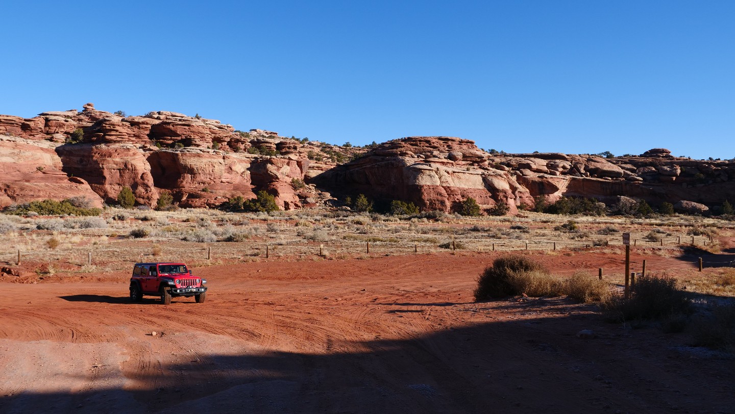
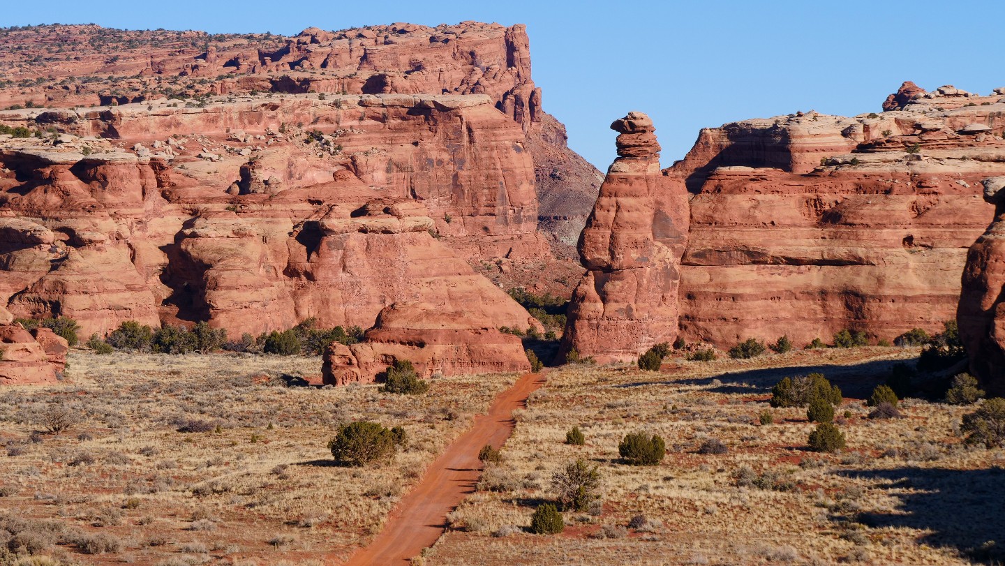
The north trailhead of Gold Bar Rim is off to your south. You will continue and go up a short hill where you will want to take a moment and look back at the open area with Gooney Bird Rock standing in the background.
9. Viewpoint and D0017 - Slight Turn (5.23 mi)
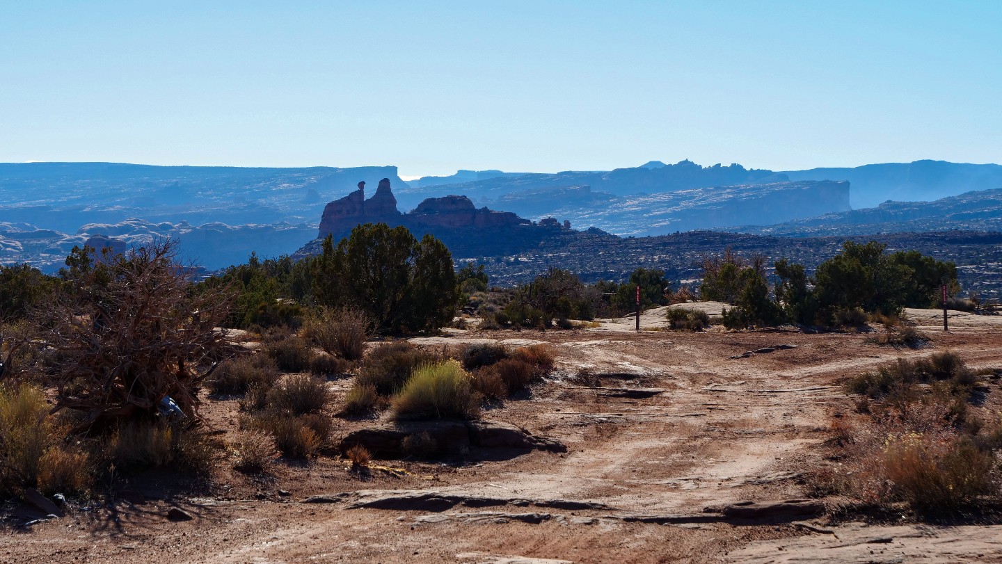
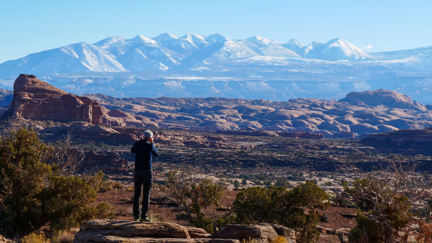
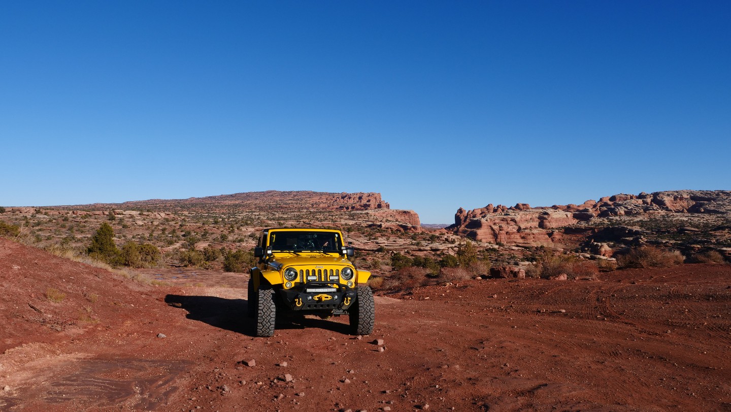
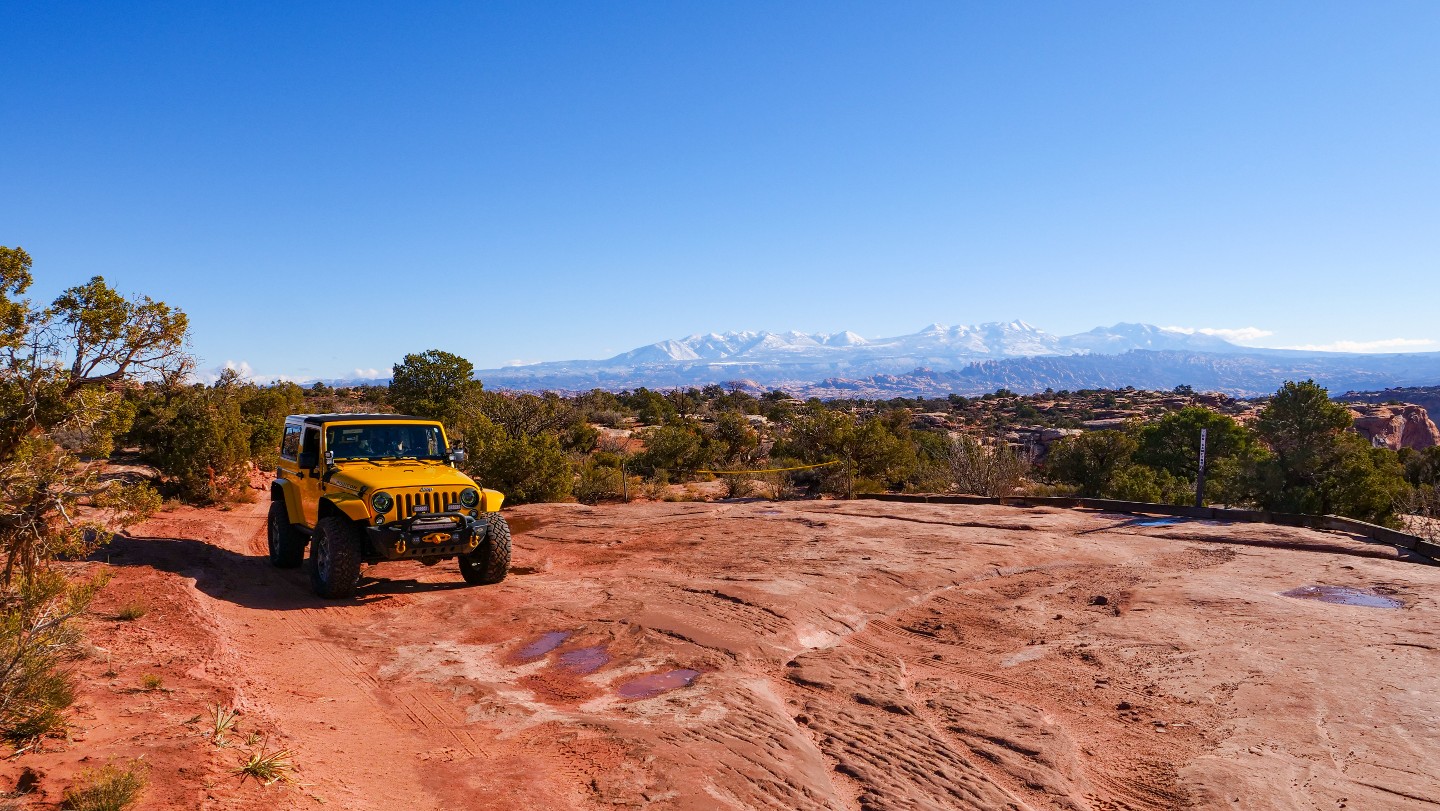
Great views of the La Sal Mountains and the spires of petrified sand are off in the distance. As well, D0017 is a short spur and a perfect spot for a tailgate lunch.
10. Bull Canyon Trailhead - Veer North (5.35 mi)
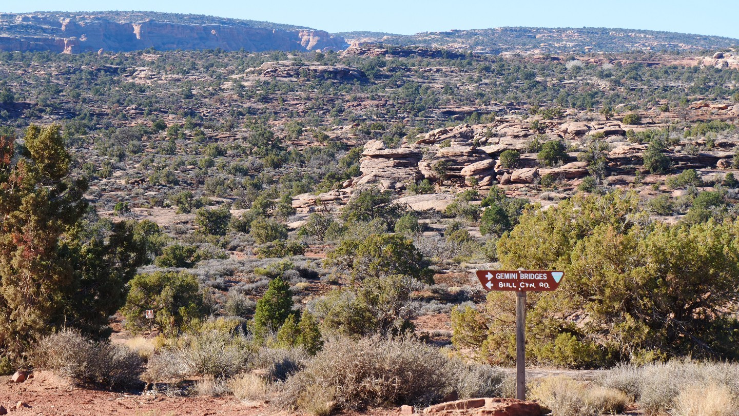
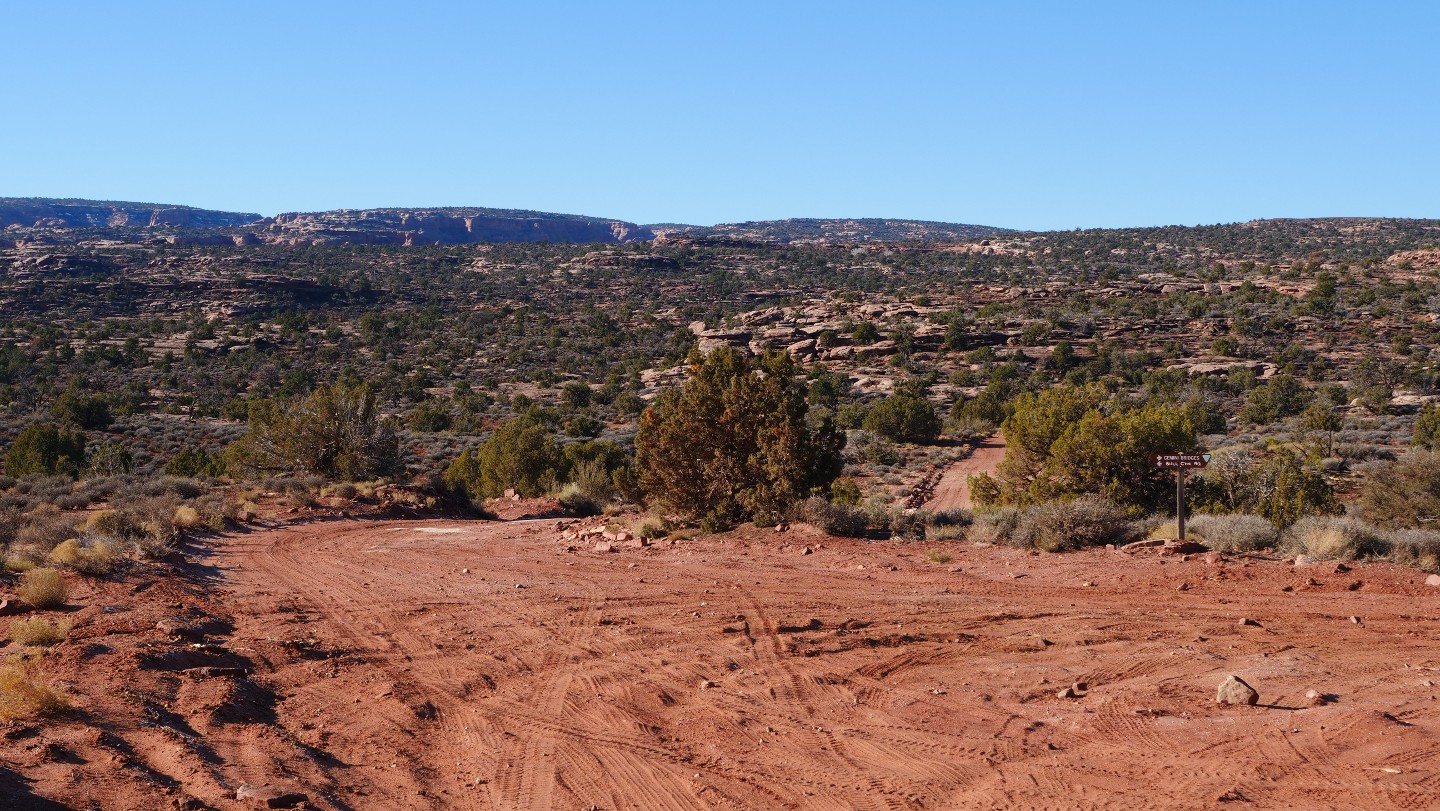
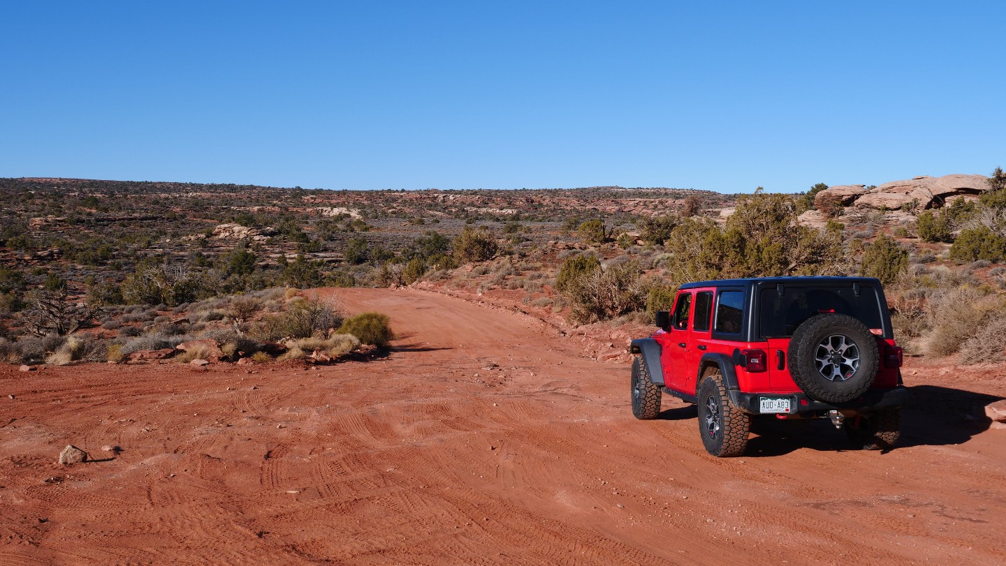
Bull Canyon is off to your south, and it is worth considering doing that road as well as Surprise Overlook when enjoying Gemini Bridges.
11. D1900 Trailhead - Continue Straight (5.51 mi)
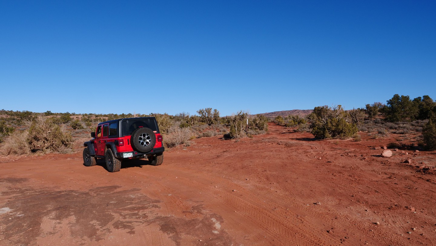
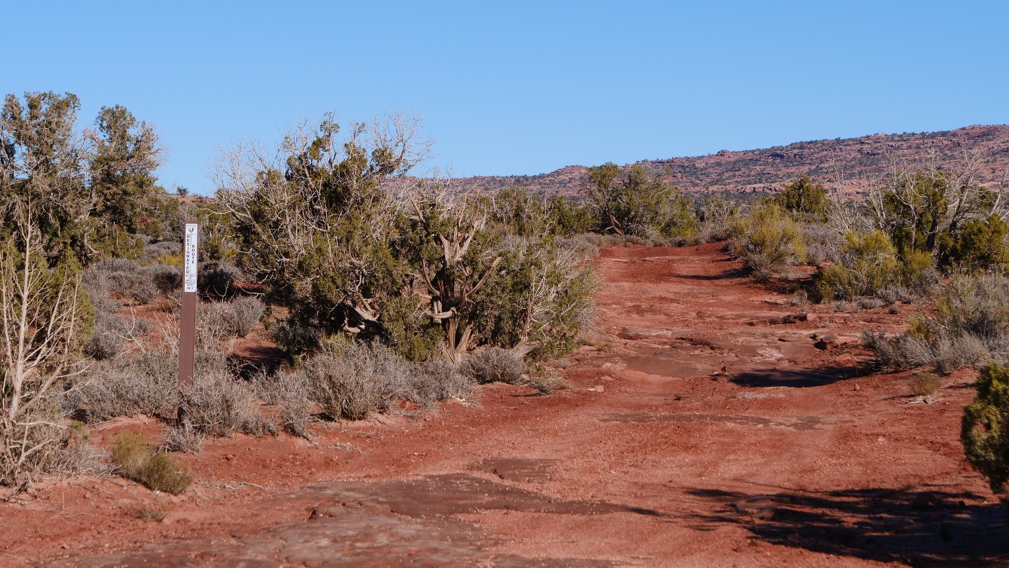
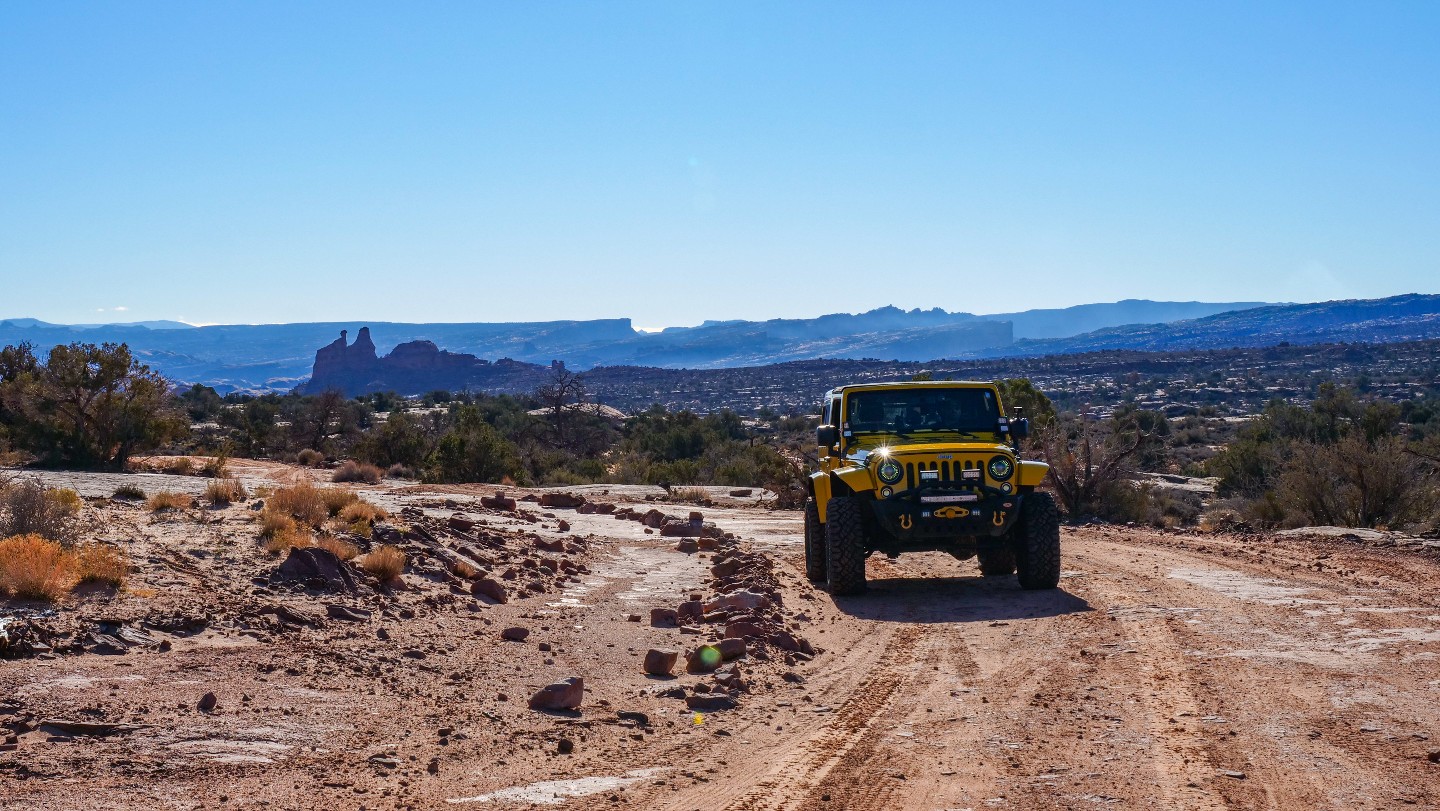
Continue following the main road. D1900 will take you to Metal Masher.
12. Metal Masher Trailhead - Continue Straight (6.16 mi)
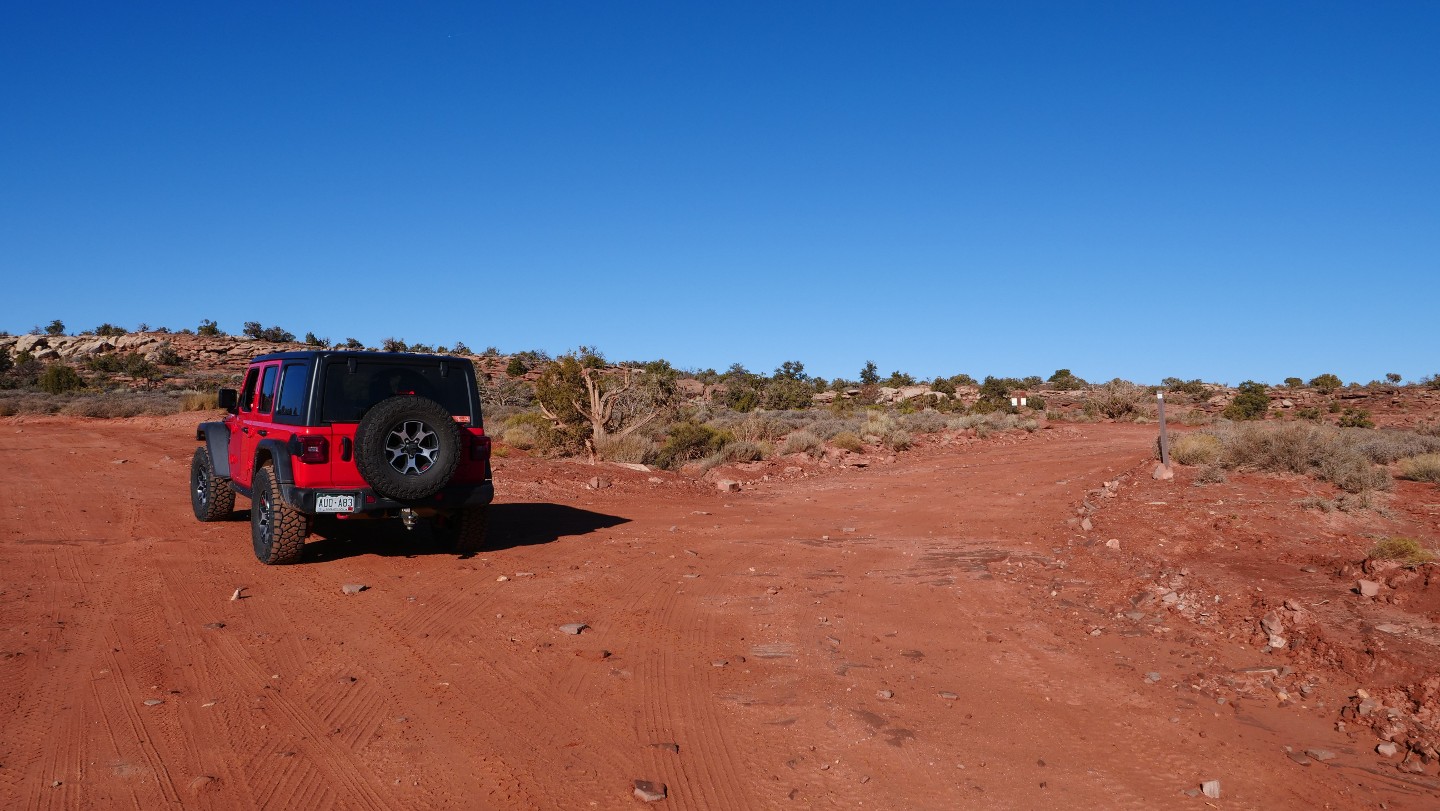
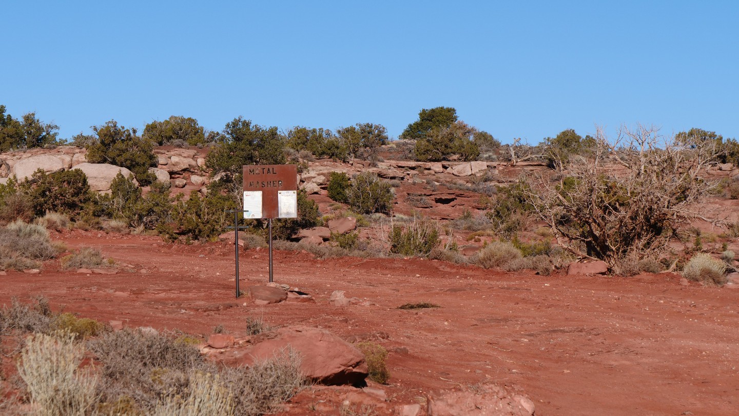
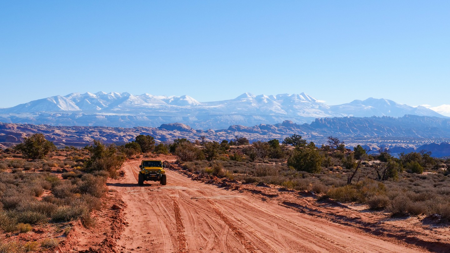
You will find the main trailhead for Metal Masher. Continue following the main road to stay on Gemini Bridges. You will also find good photographic opportunities of the La Sal Mountains towering in the background behind you.
13. Rough Section and Views (6.51 mi)
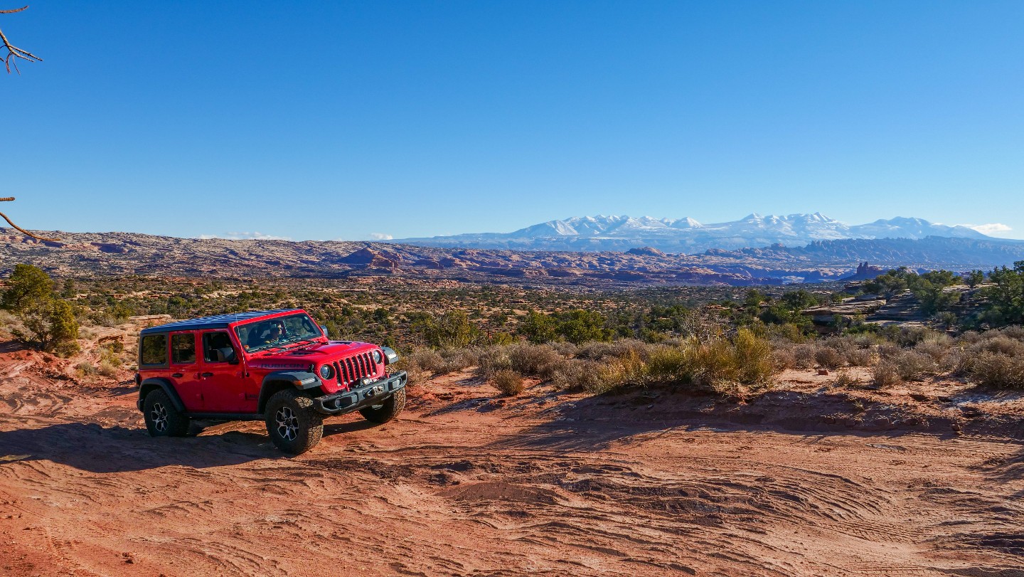
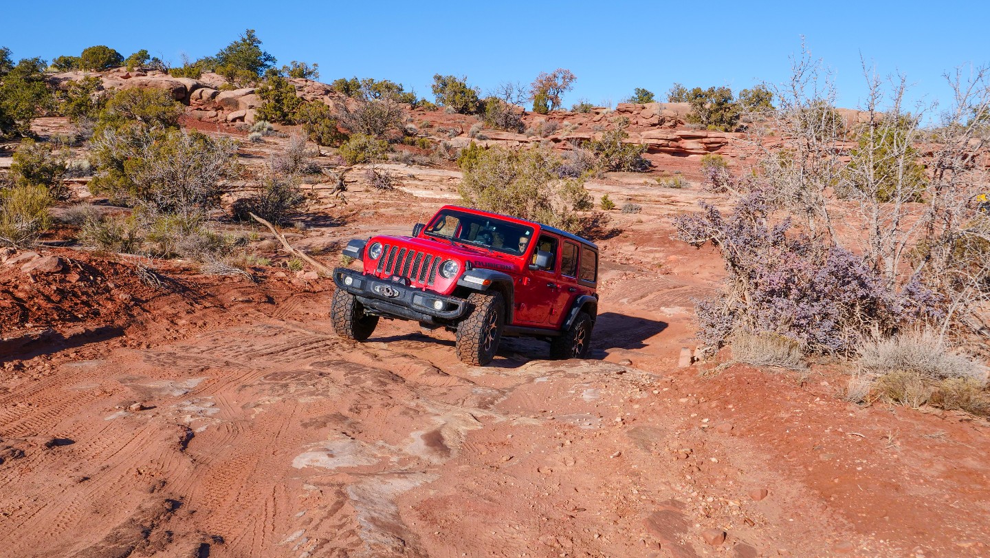
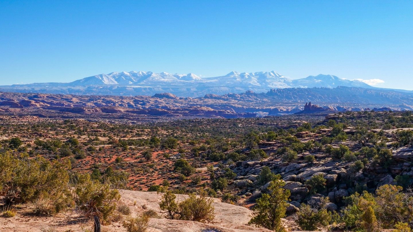
You will notice that the ground is becoming more embedded with rock and rough sections lay ahead. However, take time to soak up all the views of the La Sal Mountains and surrounding landscapes as you drive.
14. Public Service Announcement - Stay on the Trail (6.91 mi)
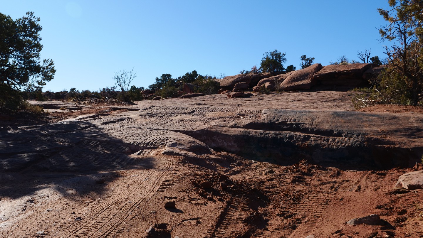
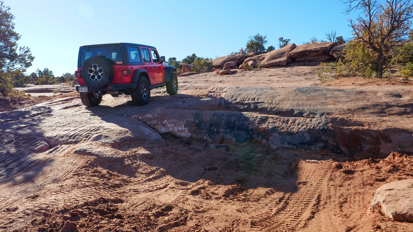
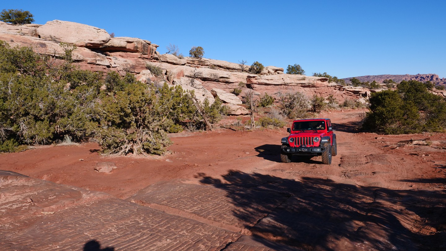
You will notice a ledge on the north side of the road. The official road right of way stays to the south of the ledge. While you may see tire tracks all over the ledge, it is not considered part of the road. Responsible use of the land includes "Staying on the Road." When people continue to drive off the road or trail, it widens the road or causes trail braiding. These issues give the reason for road closure!
If you find ledges and more challenging trails your style, avoid this ledge and go take on Metal Masher.
15. Ledge/Steps (7 mi)
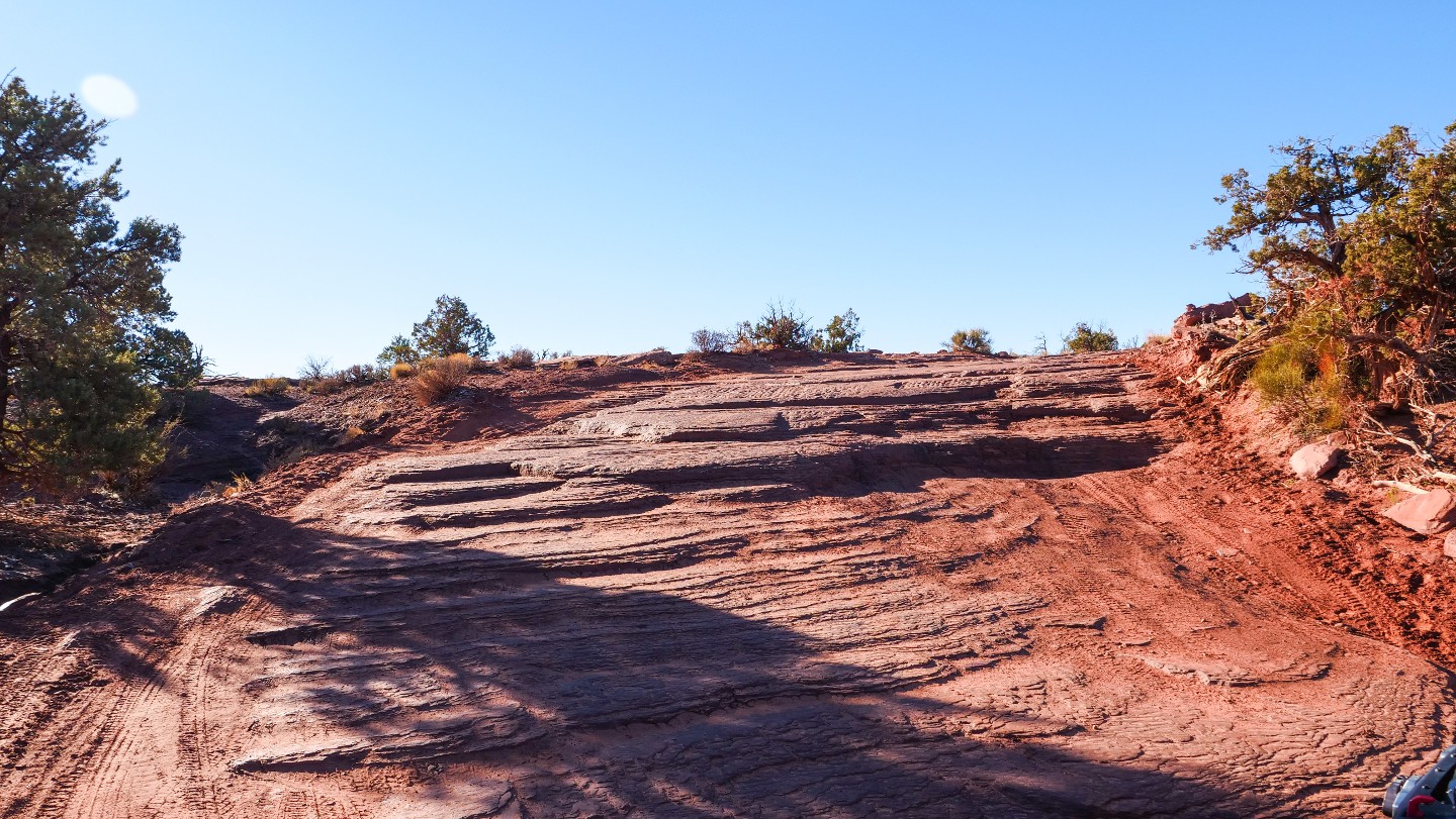
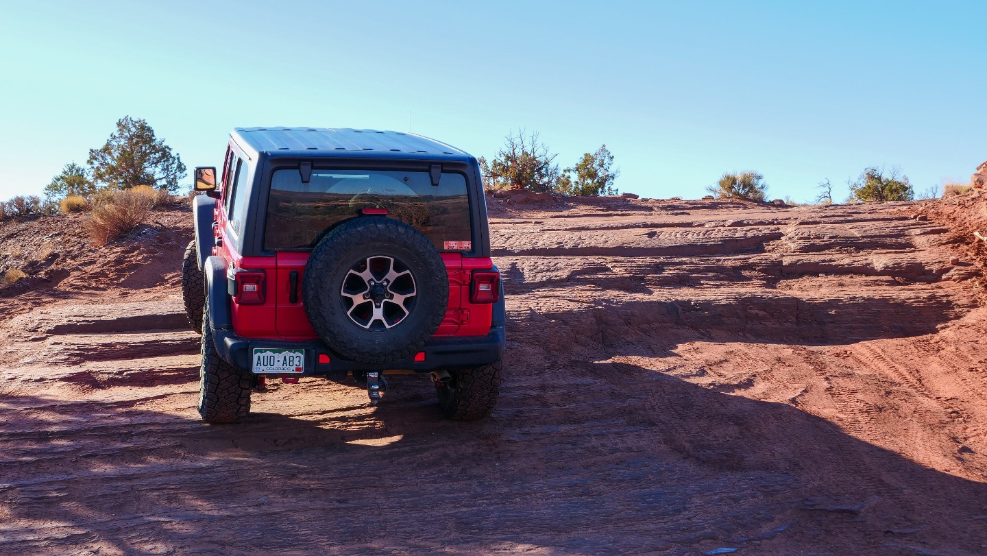
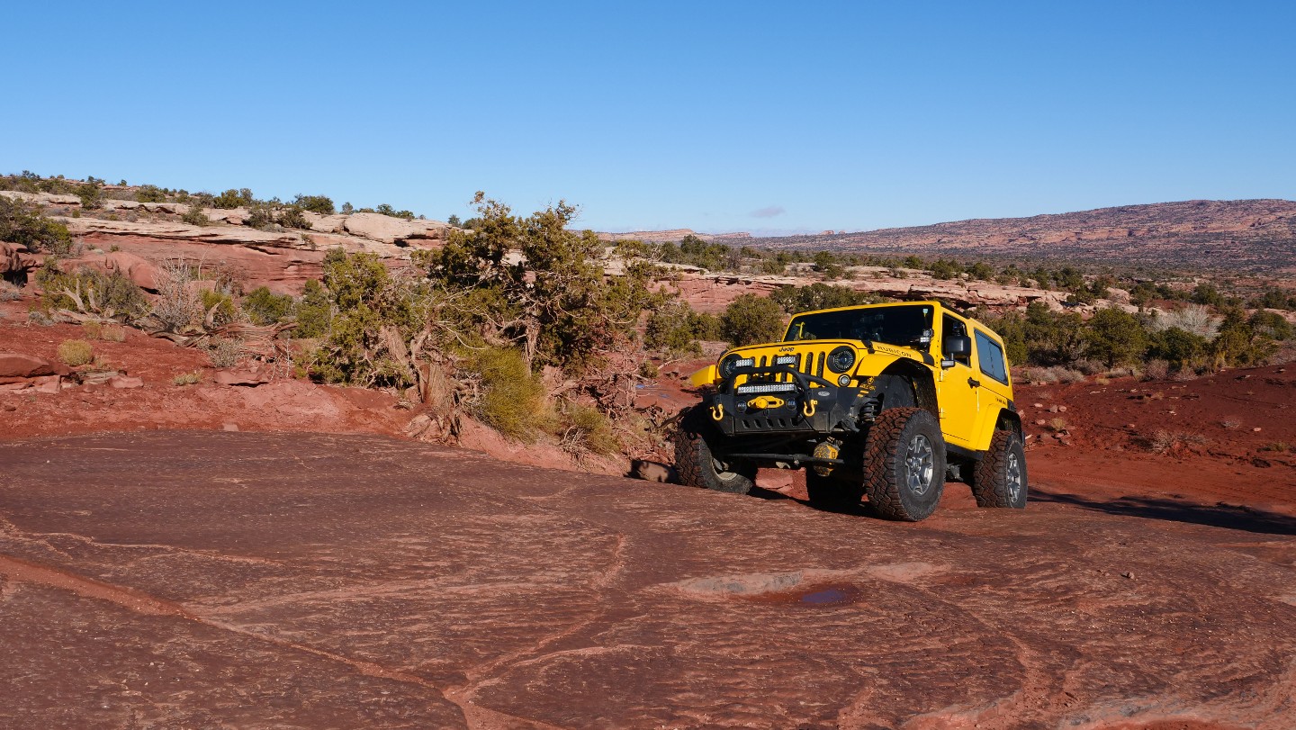
At one time, the stair ramp was all there was, but a small ledge has developed with a dugout bottom, which is unnecessary to drive. Stay to the south edge of the road for the ramp-like stairs which is a very minor obstacle.
16. D1787 Bypass - Continue Straight (7.42 mi)
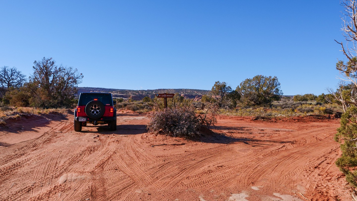
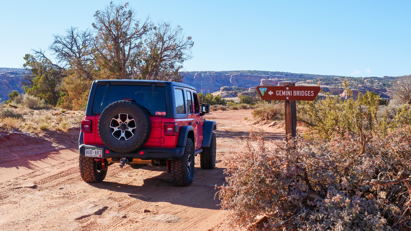
D1787 connects you to Waypoint 18. Stay south to enjoy Gemini Bridges. If you find the parking is full at the next Waypoint to walk down to Gemini Bridges, you can also find several parking spaces between Waypoints 16 and 17.
17. Gemini Bridges Hiking Trailhead (7.63 mi)
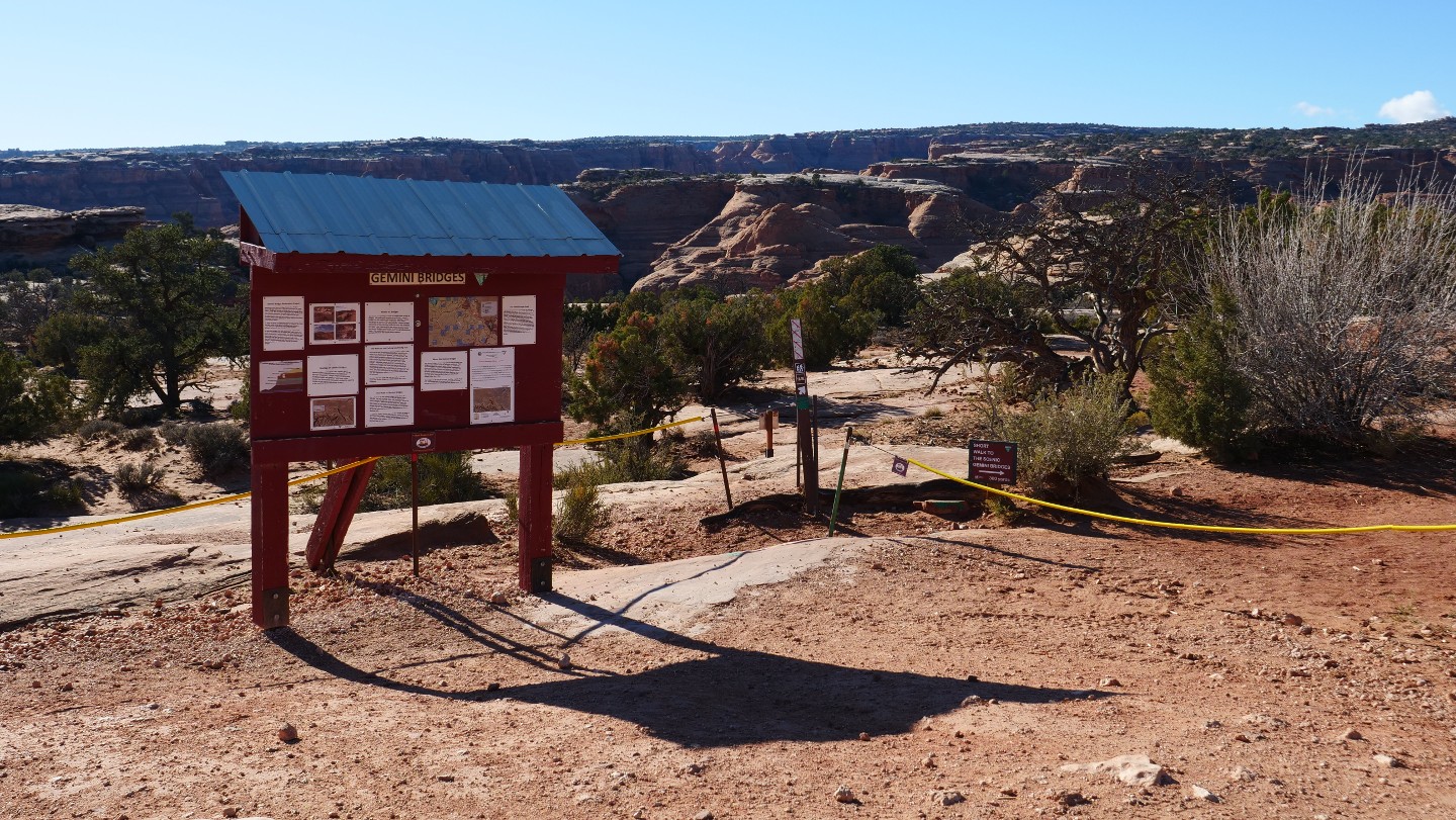
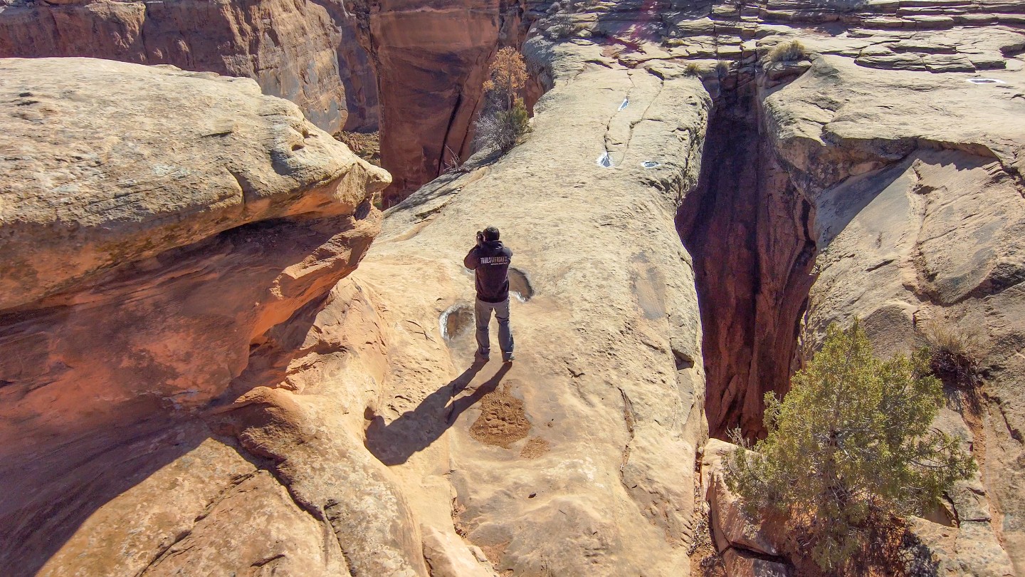
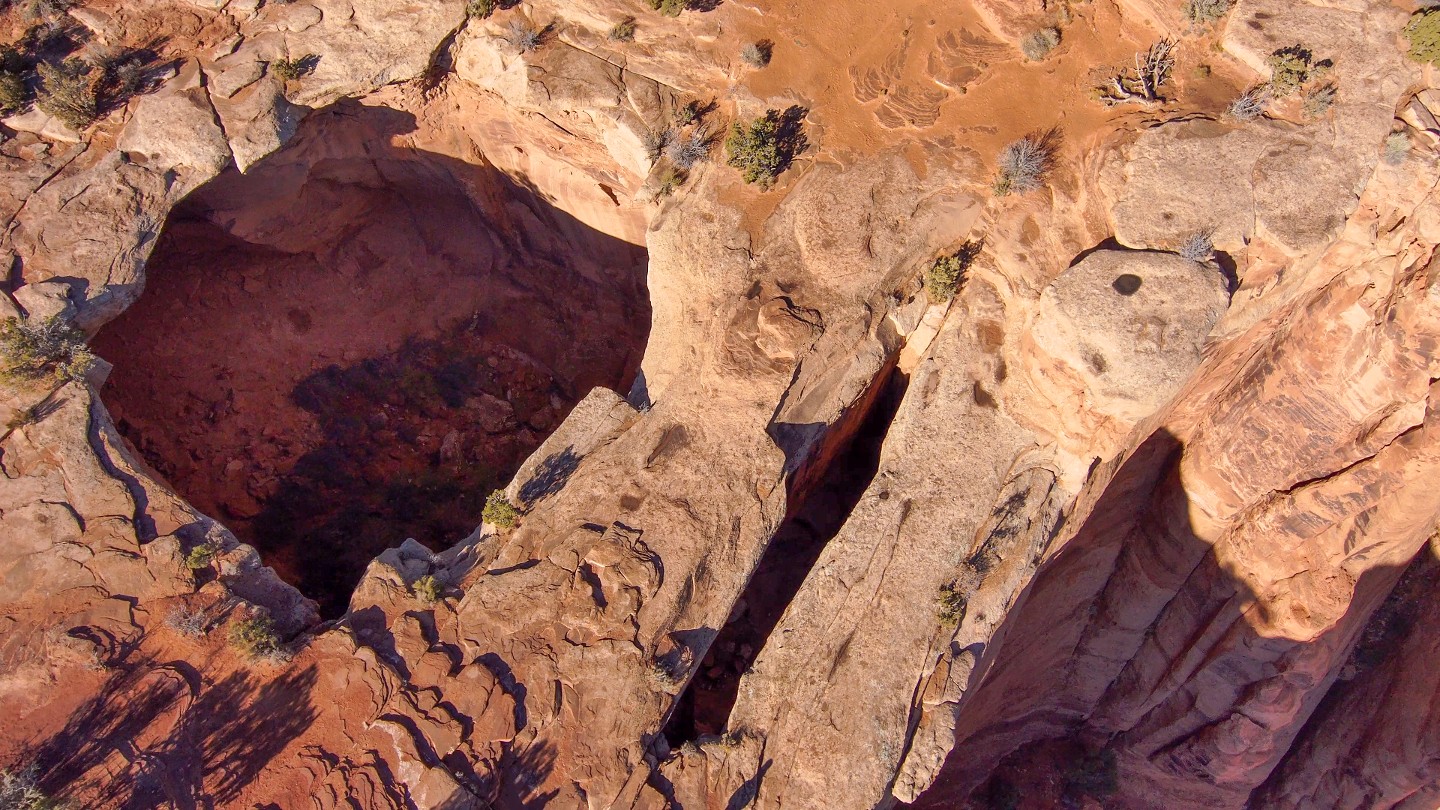
There is parking here for the quick 300-yard hike to the top of the twin bridges. If you are wondering, a natural bridge is a natural stone arch that spans a valley of erosion, whereas a natural arch does not span an erosion valley.
These two bridges are aptly named after the Gemini twins of Roman mythology, Castor and Pollux. Castor and Pollux were inseparable in life, and when they died were placed in the heavens as twin stars so they could be together forever, like these two bridges that stand side by side. The hike is worth it!
18. D1789 and D1787 Trailheads - Continue West (7.72 mi)
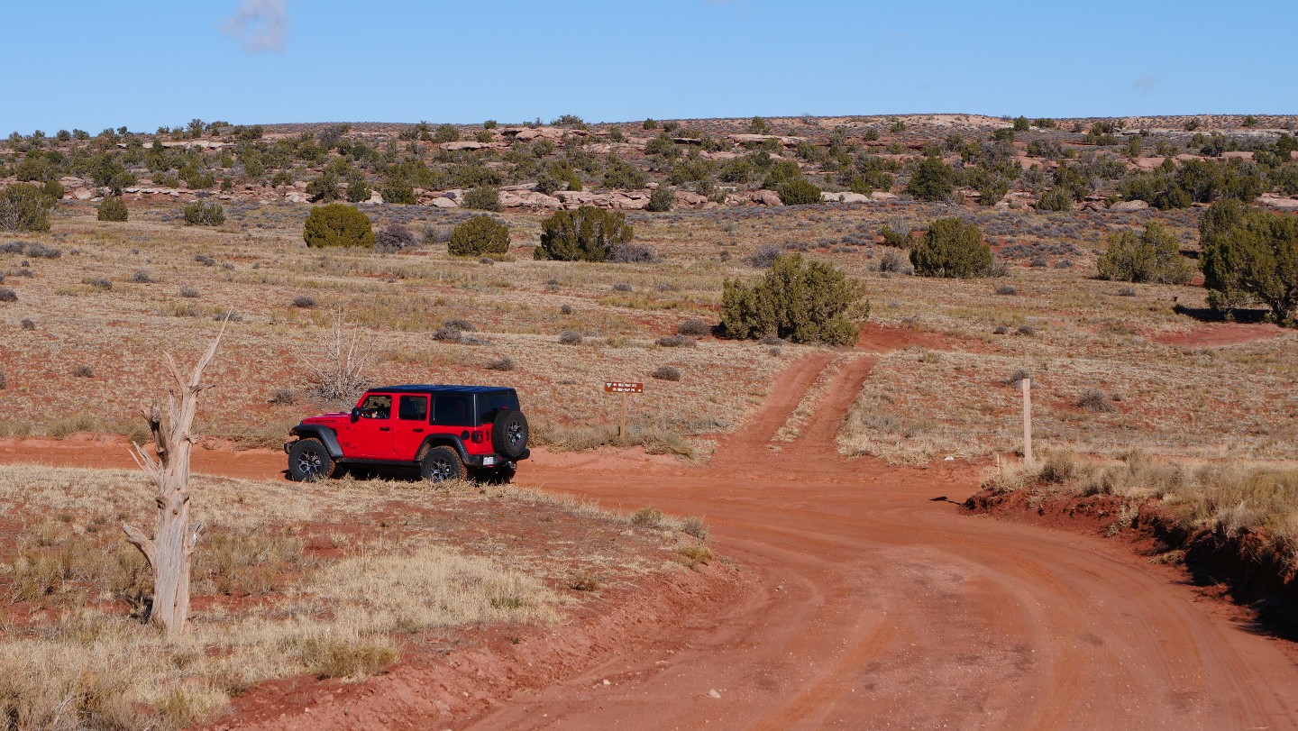
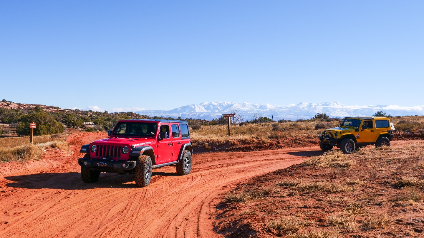
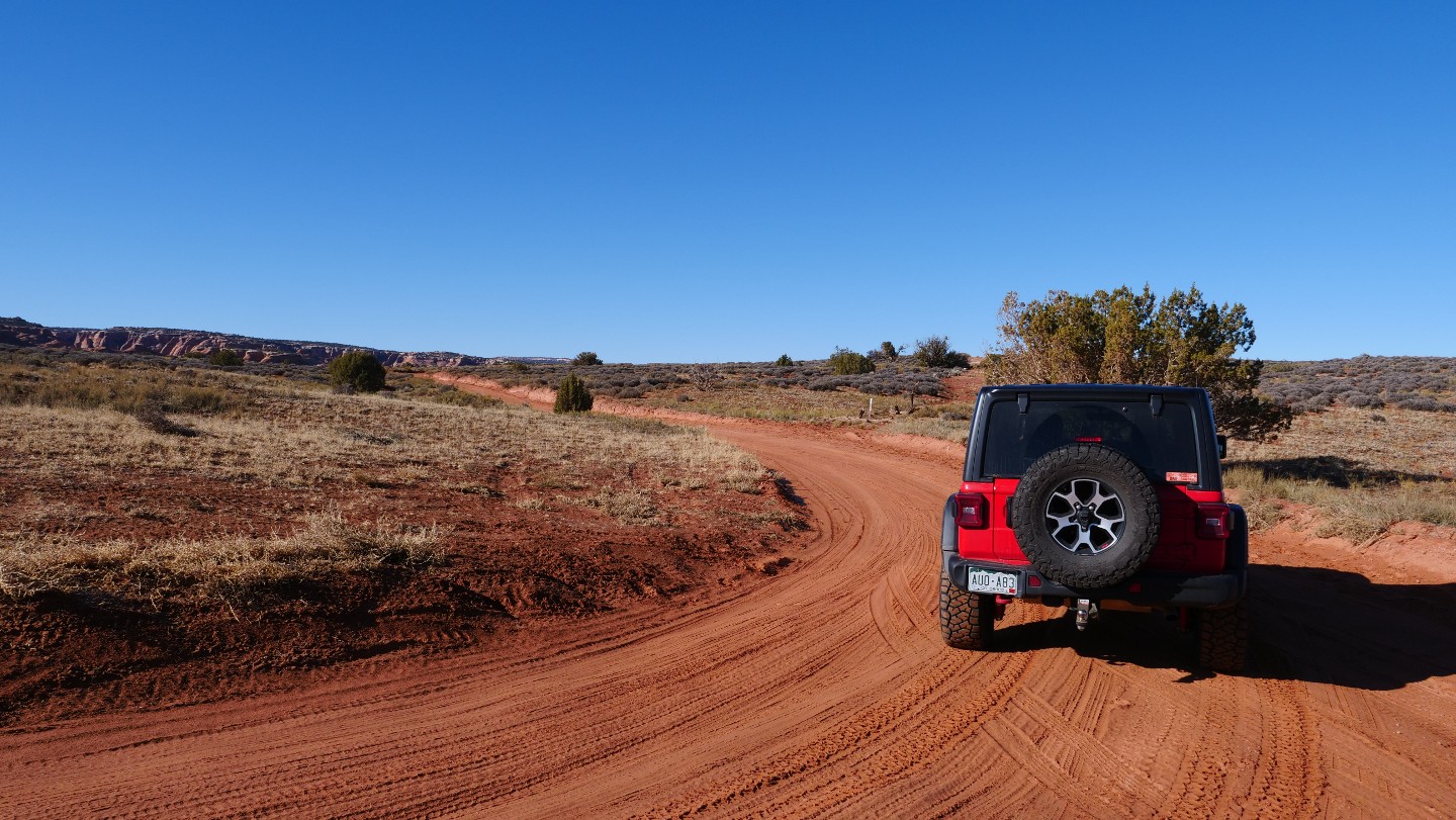
Turn west here to follow the trail guide. Going north on the two-track before you is D1789, and it leads to another network of trails, where D1787 will return you to Waypoint 16. From here to the end, the road will become wider and more smooth.
19. Four Arches Trailhead - Veer North (8.58 mi)
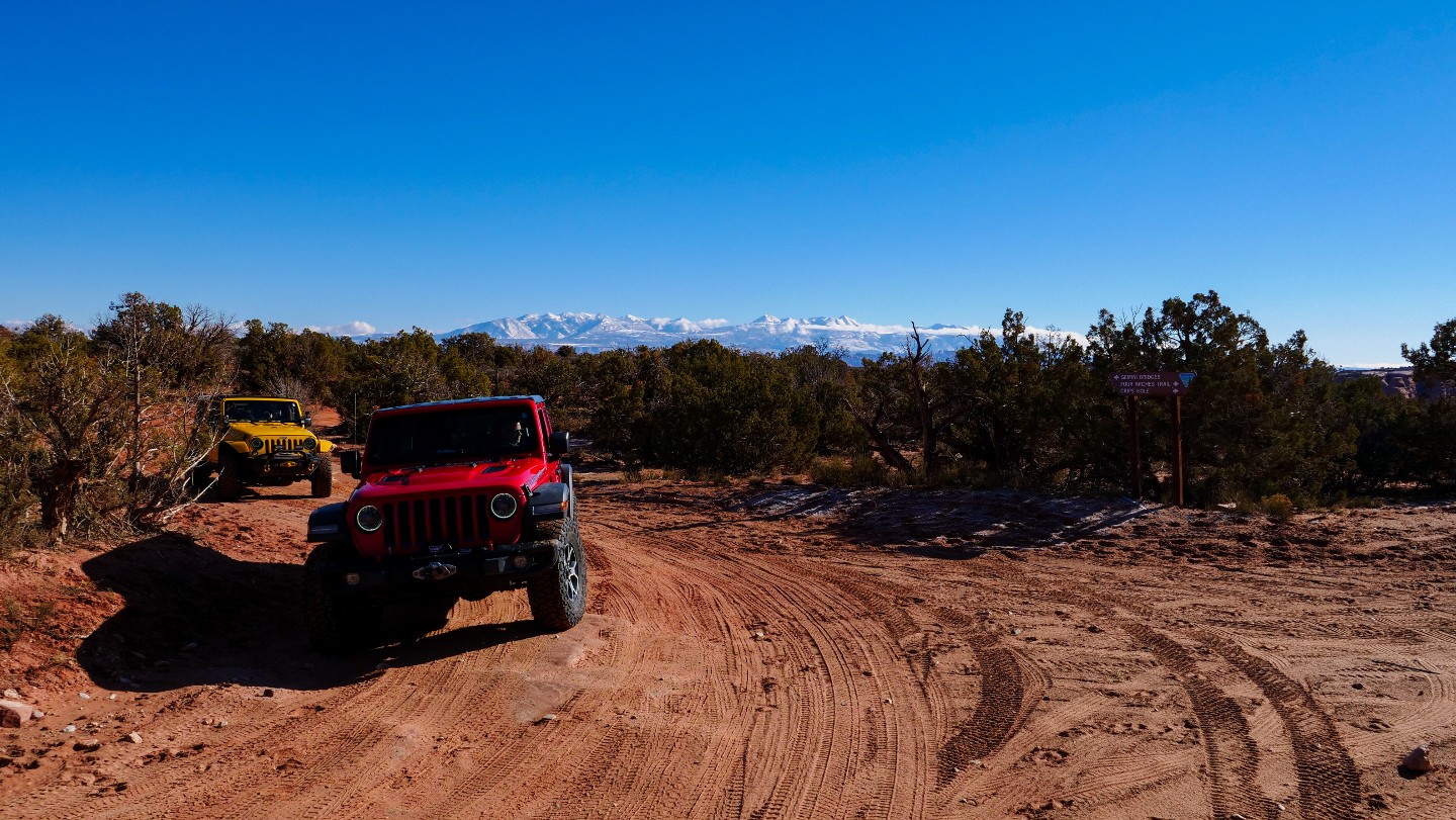
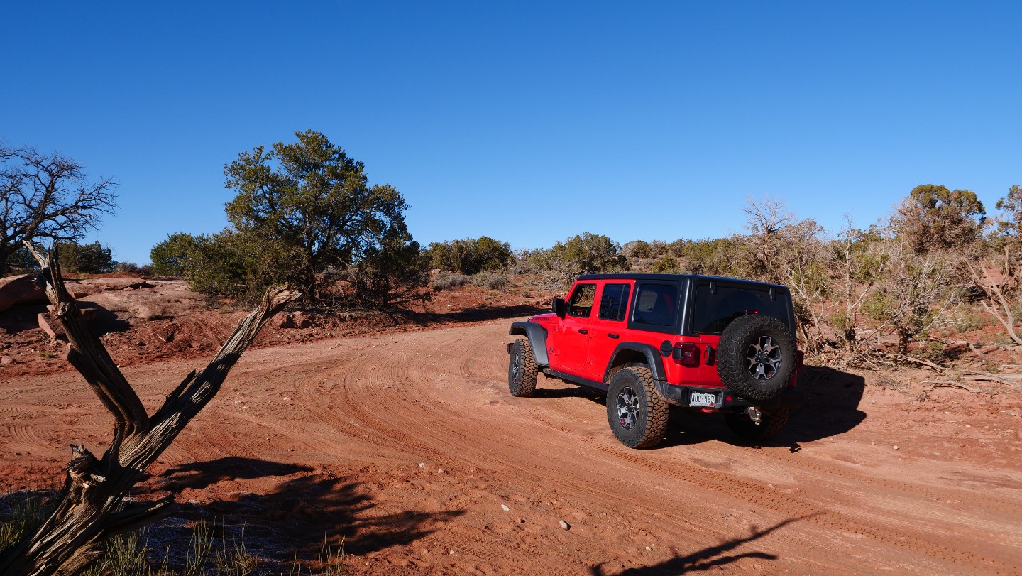
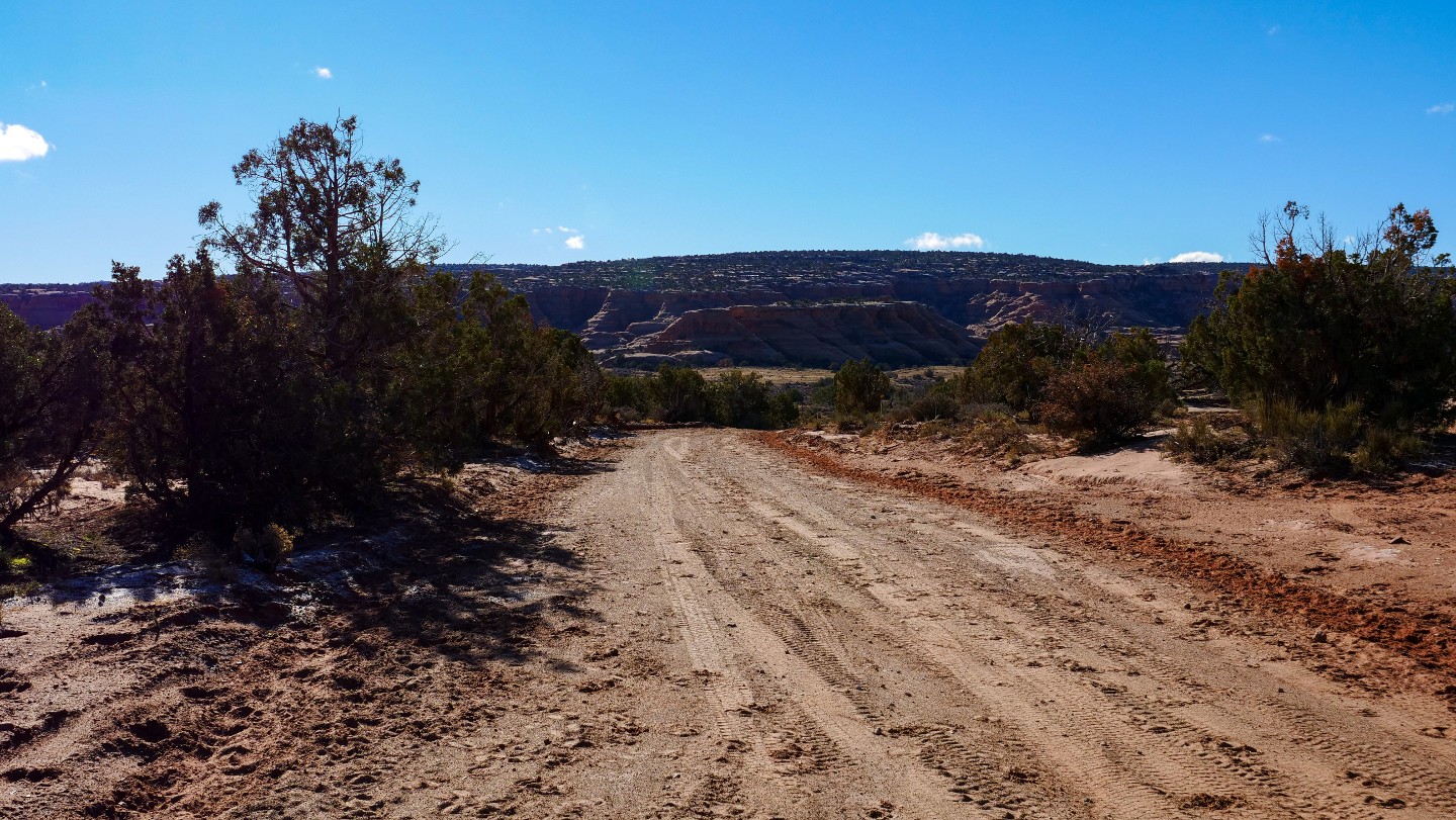
Follow the bend north to follow Gemini Bridges. Four Arches Canyon is off to your south and well-signed. It is a more difficult road and worth adding to your "to-do" list.
20. The End of Metal Masher - Continue Straight (9.3 mi)
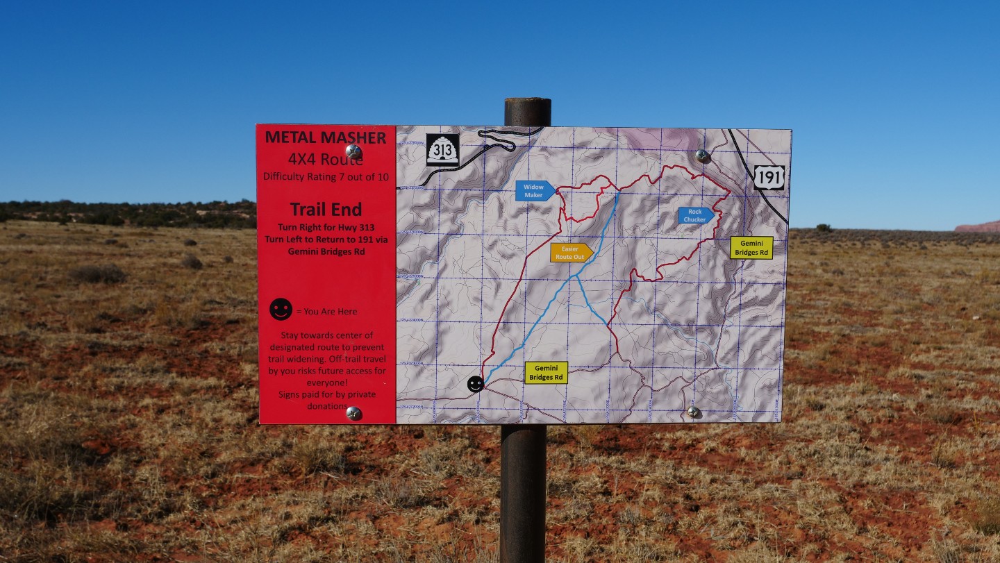
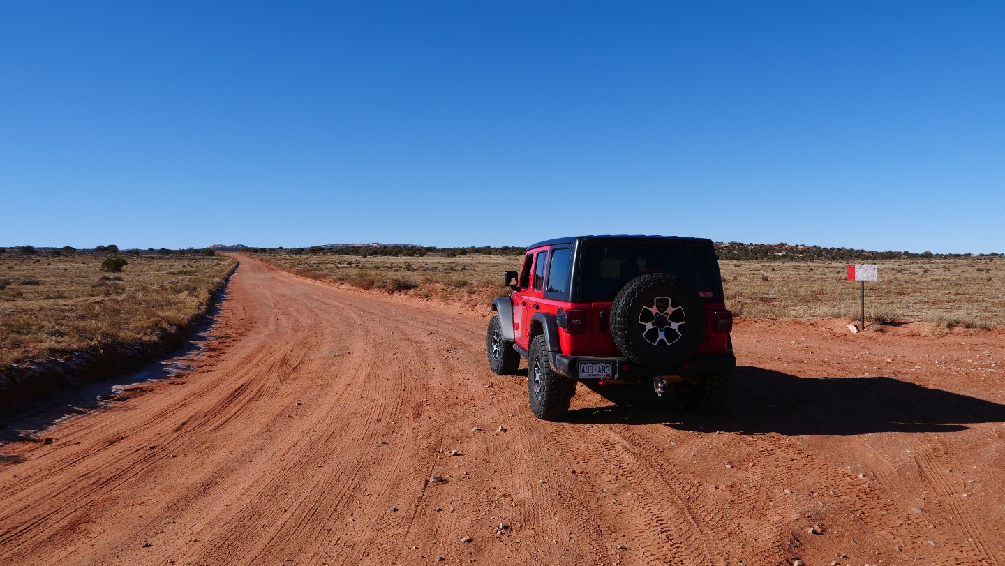
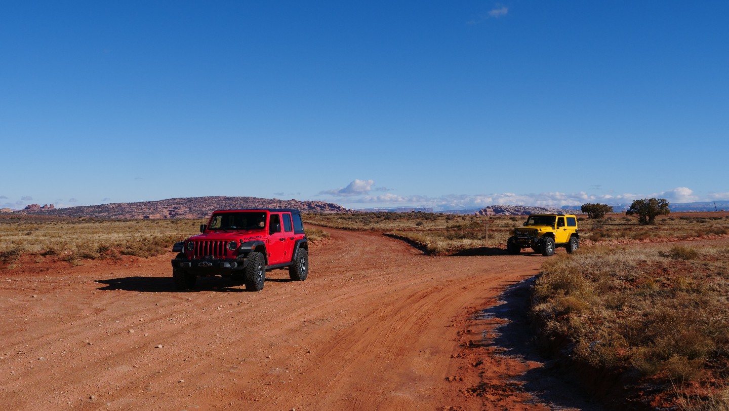
Continue straight. The end of the Easter Jeep Safari Route Metal Masher ends here. In addition, the Metal Masher Route combines several other trails, including Arths Pasture Trail (D1906).
21. Arths Pasture Road Trailhead - Continue Straight (9.49 mi)
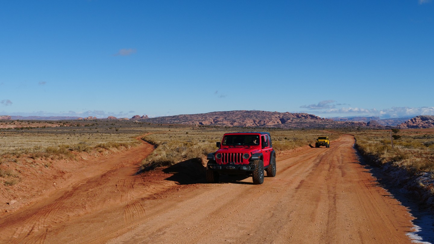
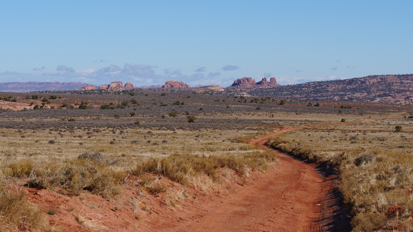
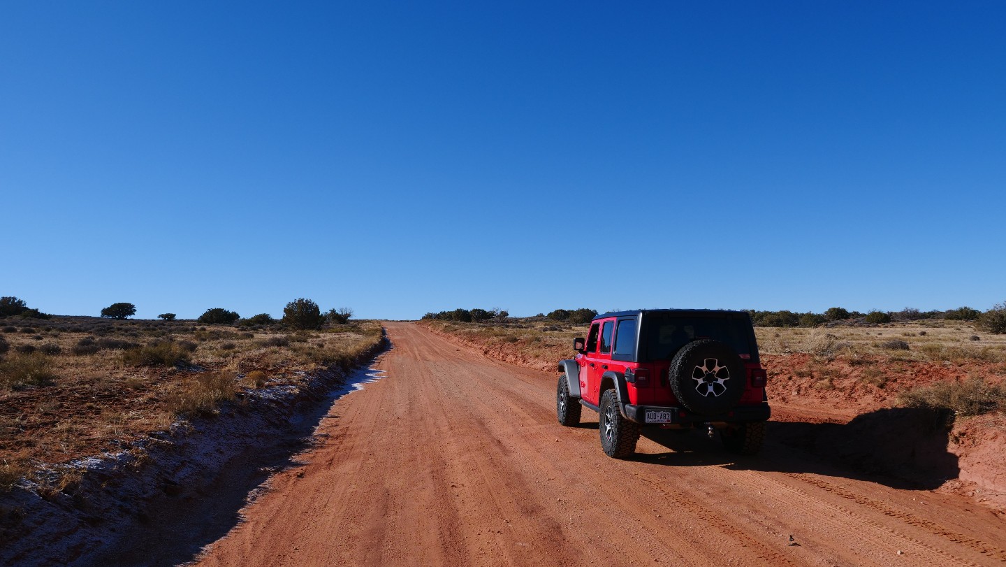
Continue straight. Arths Pasture Road takes off north and is a fun drive through the open high-desert plain.
22. D1749 Trailhead - Continue Straight (9.8 mi)
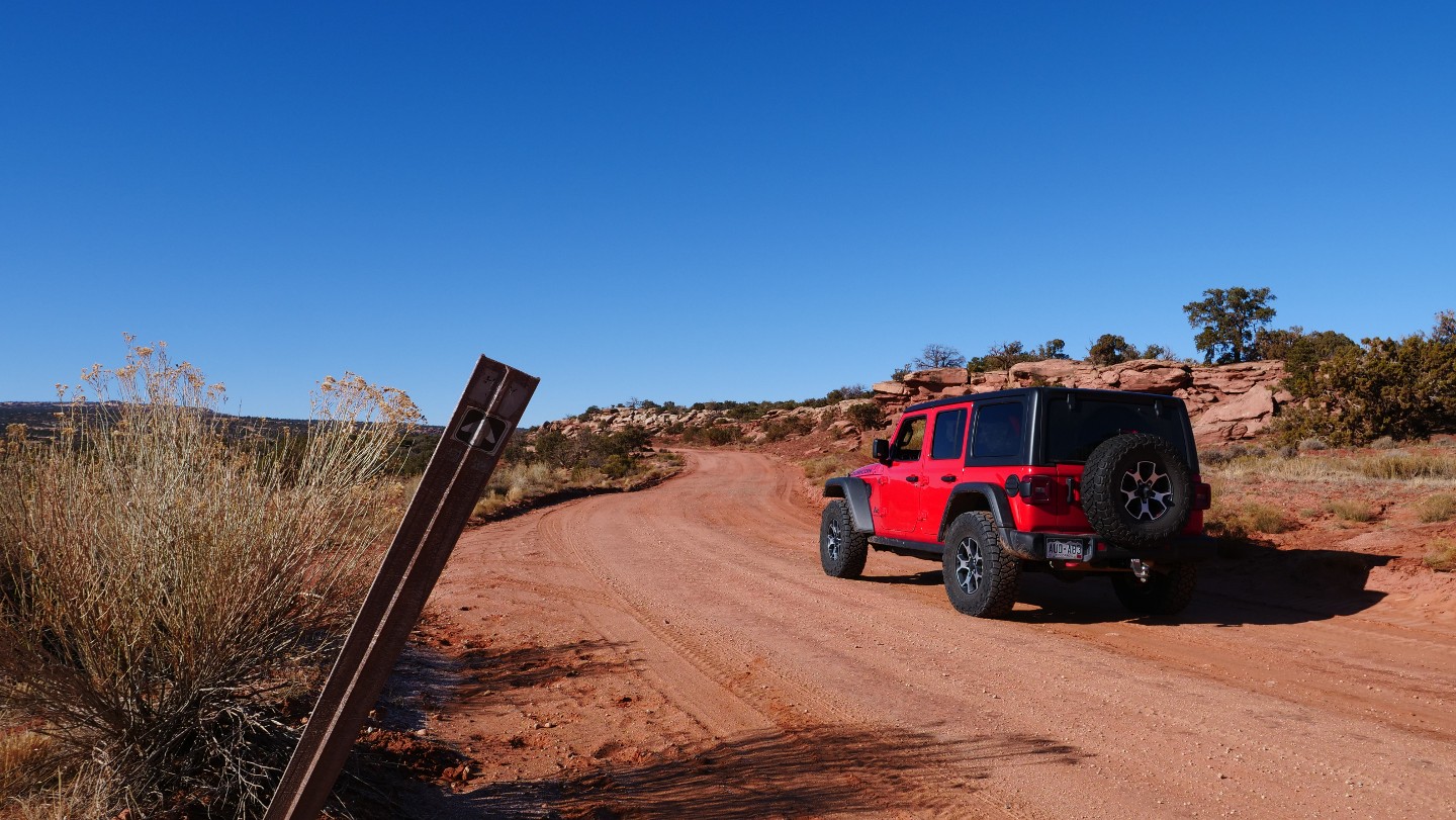
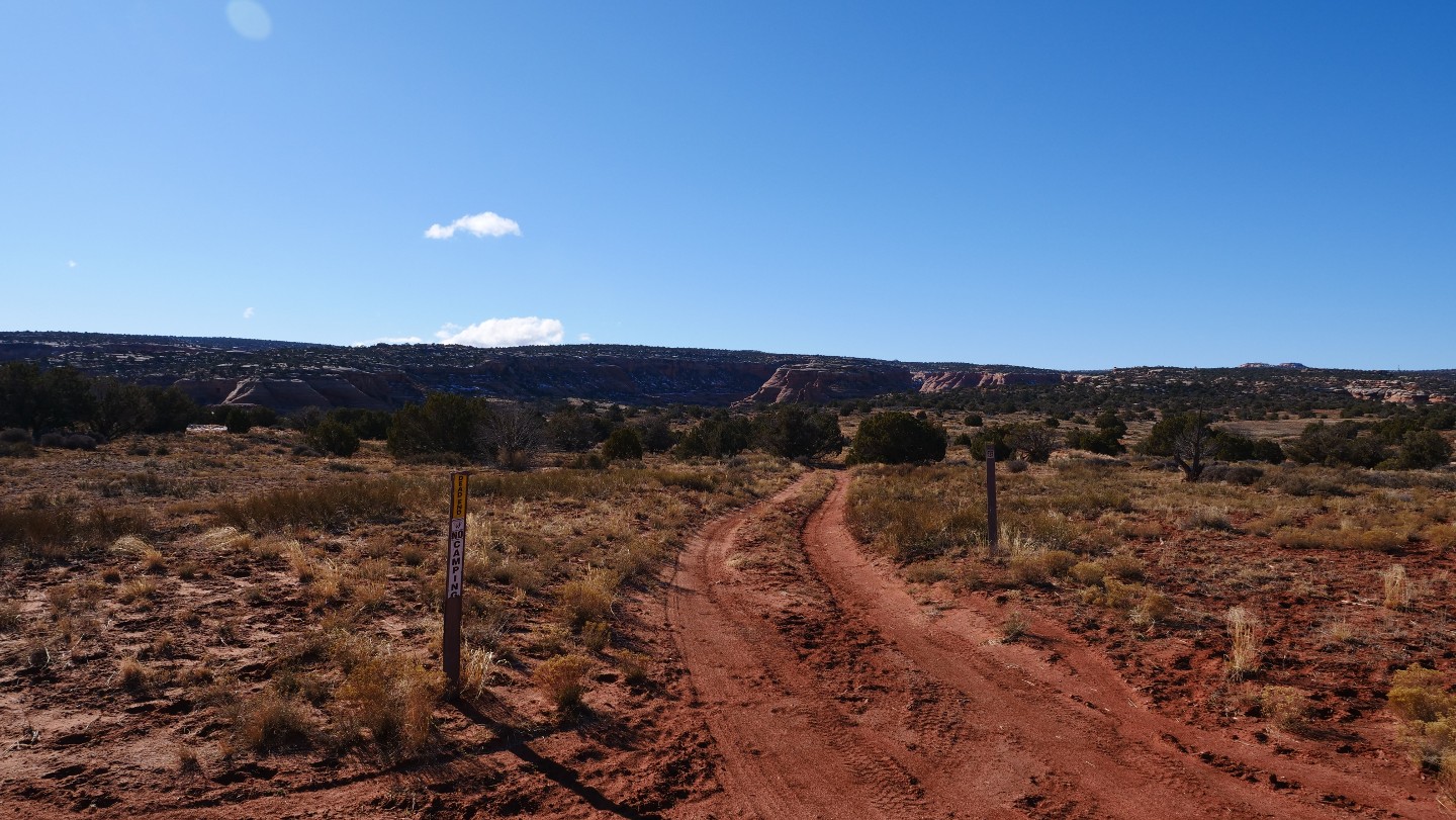
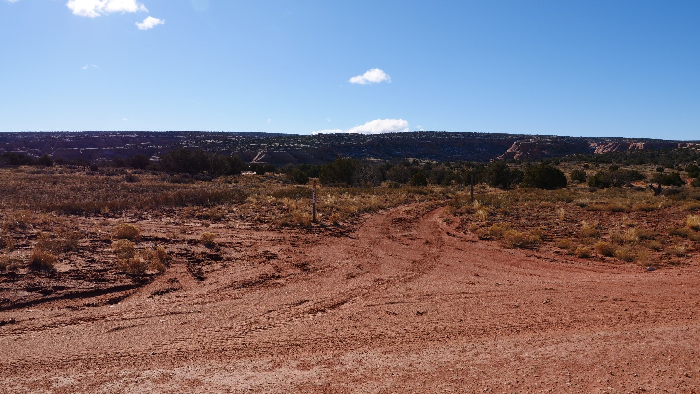
Continue straight. D1749 will terminate at Waypoint 25.
23. D1753 - Continue Straight (10.62 mi)
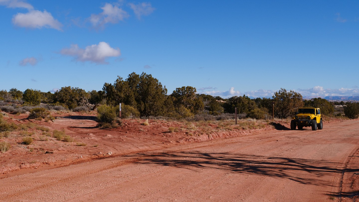
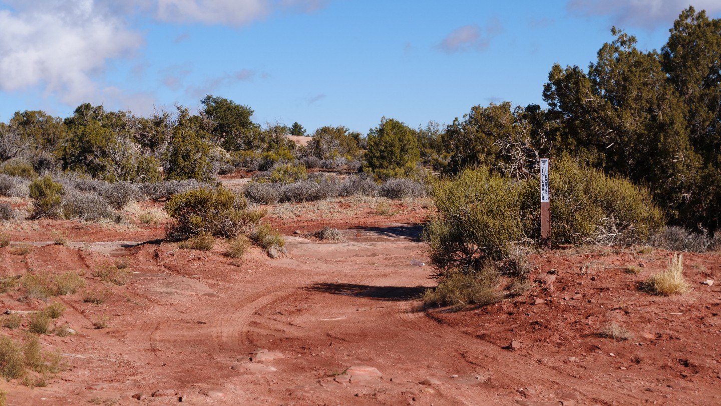
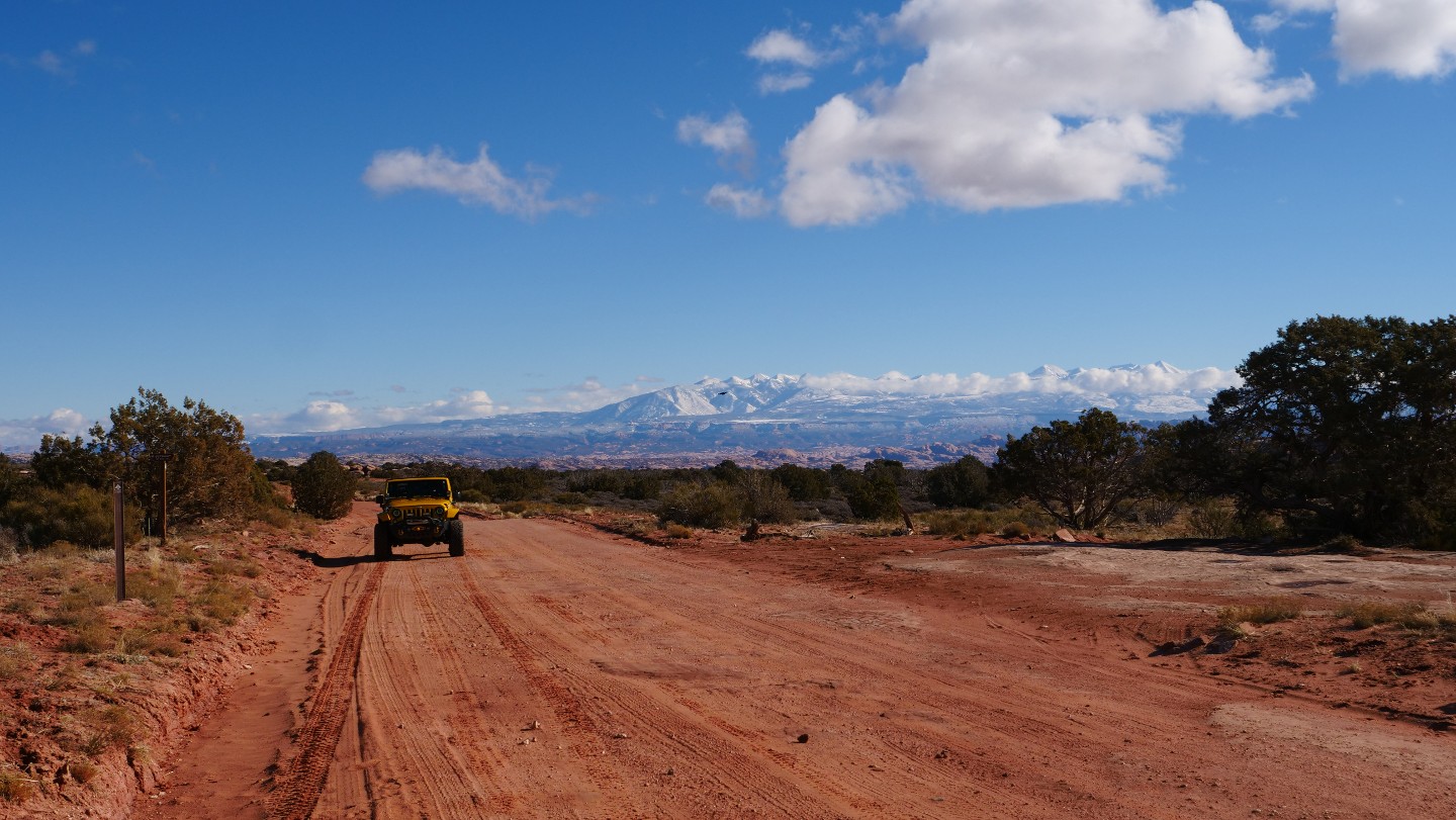
Continue straight. D1753 will take you to the Metal Masher Alternate Exit.
24. D1754 - Continue Straight (10.76 mi)
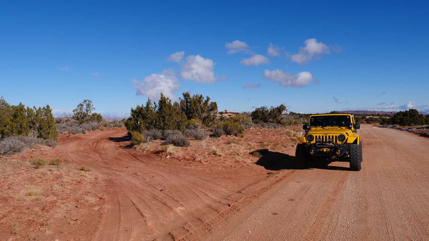
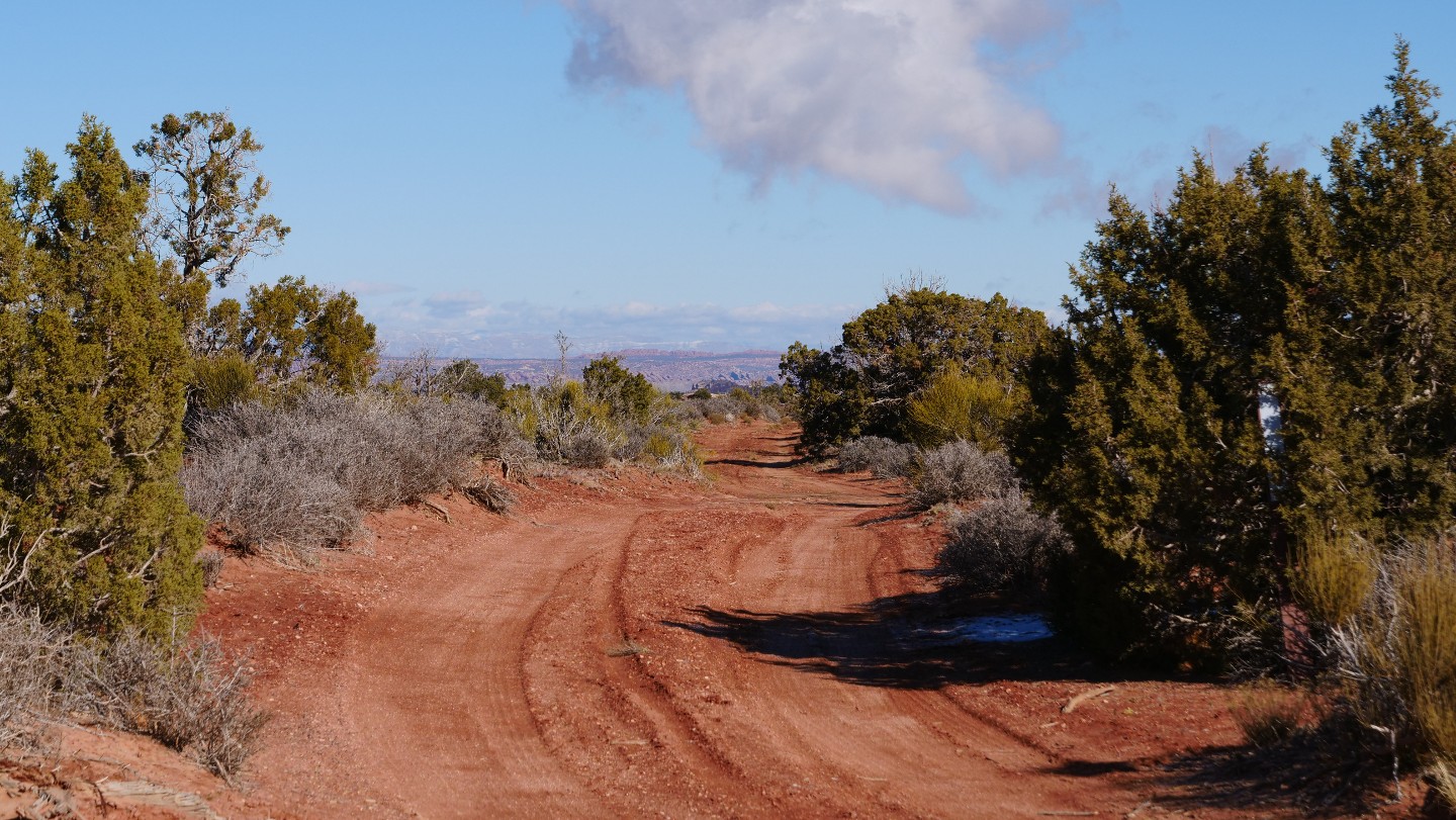
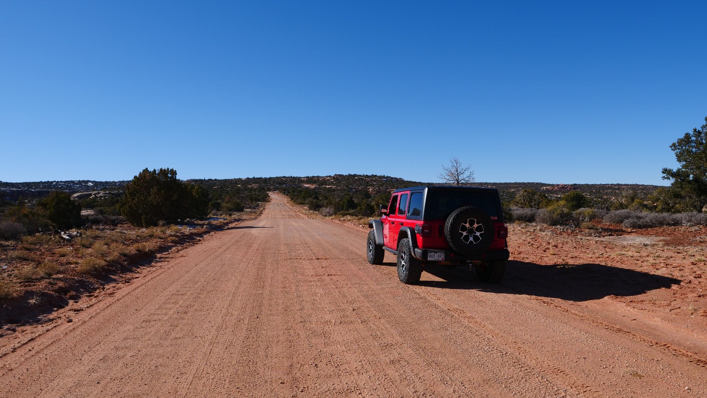
Continue Straight. Also known as Old Arths Pasture Road, D1754, if you followed it north will bring you into another maze of roads and trails.
25. D1749 and D1739 - Continue Straight (12.34 mi)
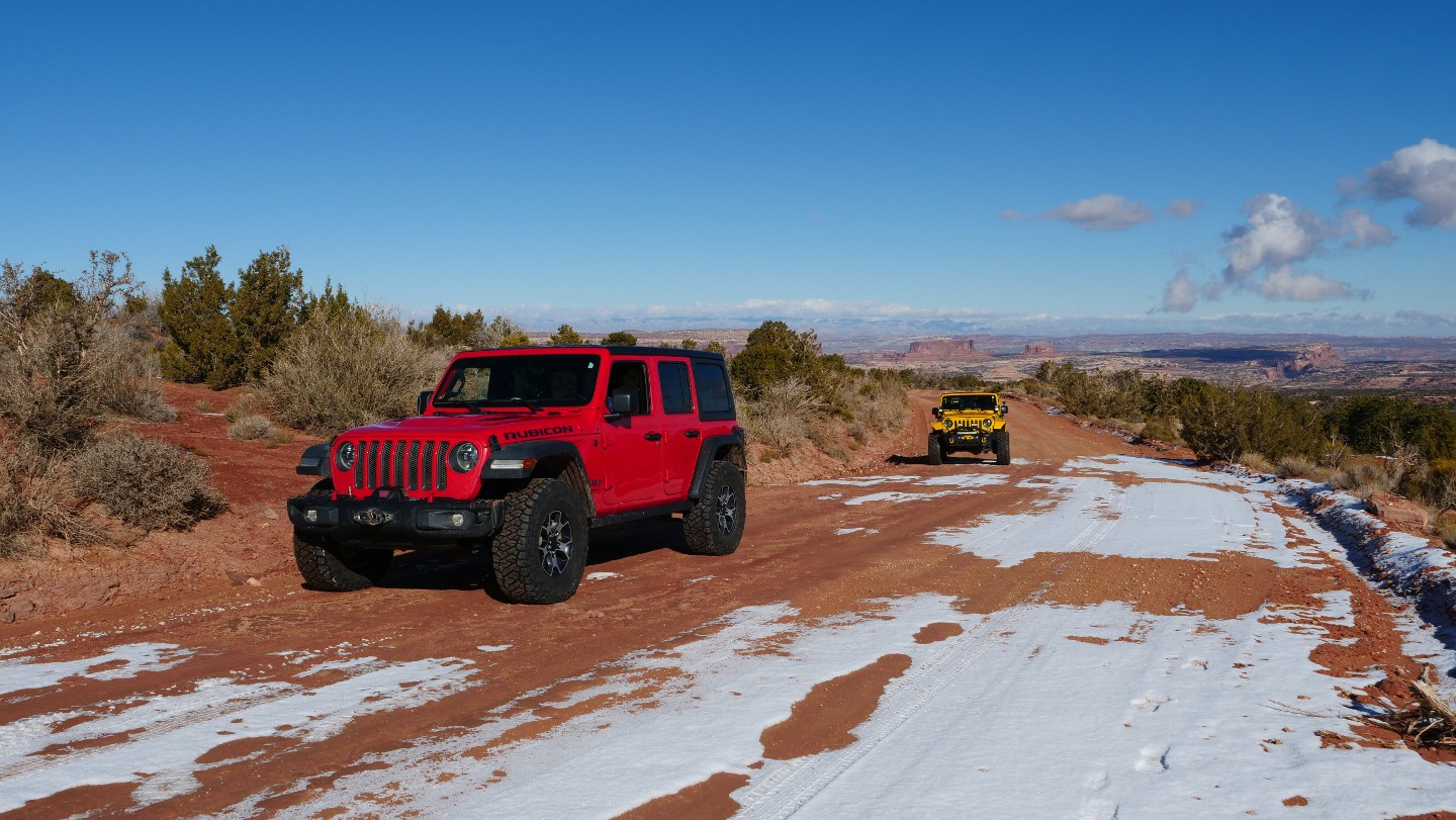
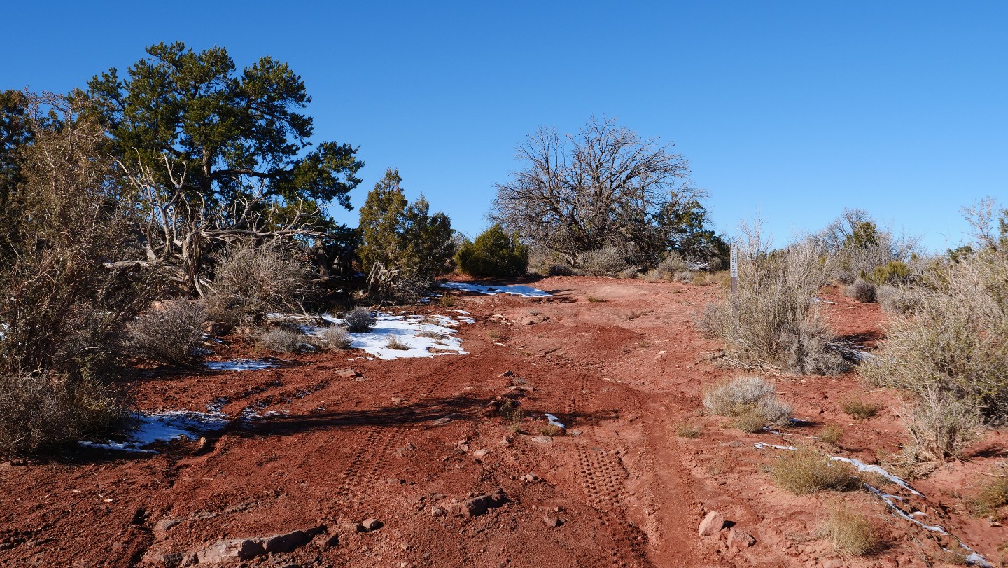
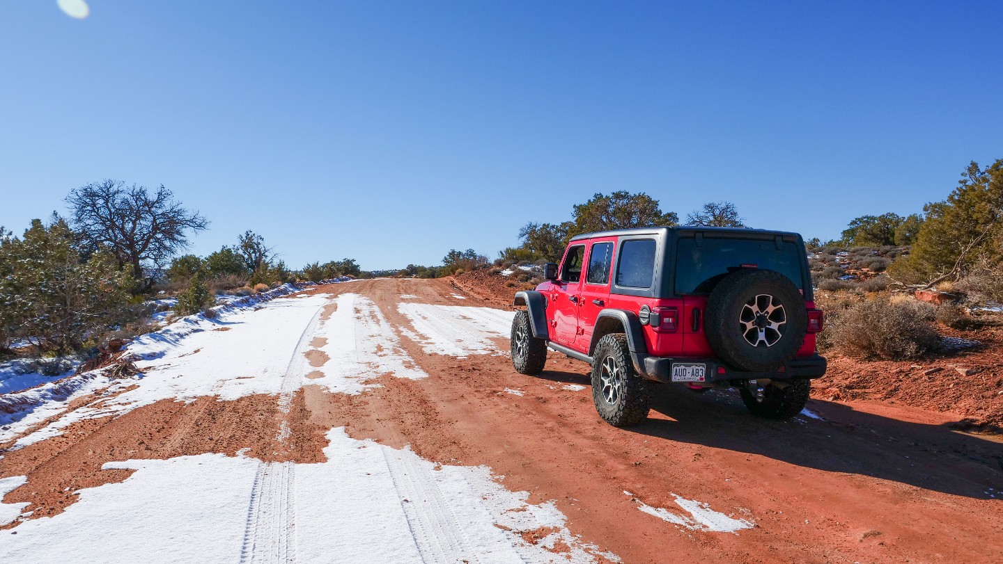
Continue straight. D1749 is on the south side of the road, with D1739 on the north side.
26. D1740 - Continue Straight (12.72 mi)
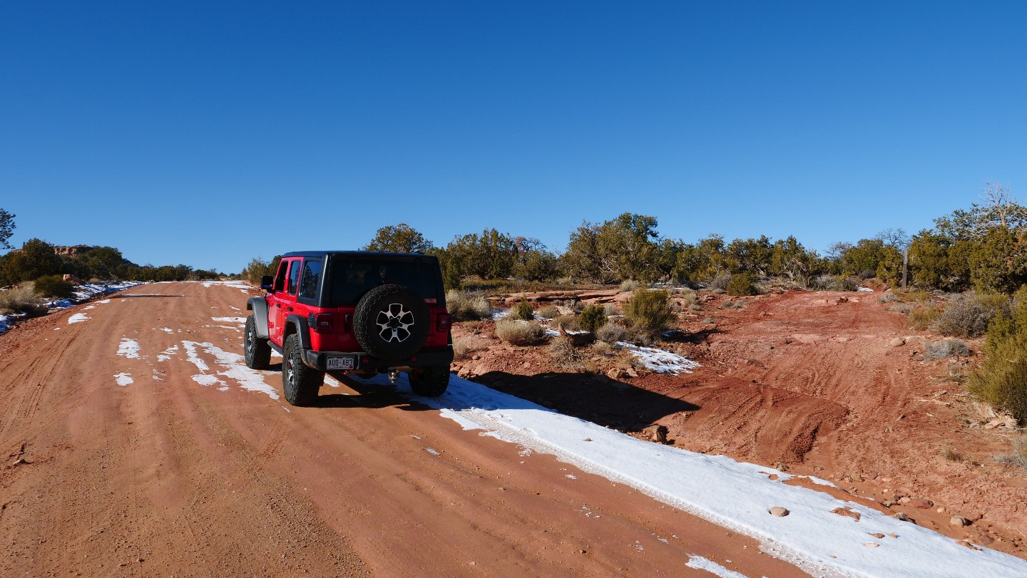
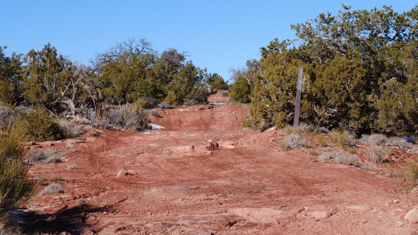
Continue straight. D1740 leads north and south of Gemini Bridge Road, and each direction leads to more trails.
27. Gemini Bridges Highway 313 Trailhead (13.31 mi)


Gemini Bridges ends at Highway 313. There is room on the road's north and south side of the road to air back up! Turn right to return to Moab, or turn left to explore the Canyonlands National Park Island in the Sky District.
Not allowed
Along this area, dispersed camping is only allowed in designated sites. Unfortunately, there are no designated sites directly along the Gemini Bridges trail. However, five designated and beautiful sites reside in Bride Canyon. You can also look to Mill Canyon - Tusher Road and Cotter Mine Road for other areas where designated camping exists. Remember, when using free designated sites, you must remove all solid human waste from the area. Campers are required to possess, set up, and use portable toilets. Campers may not bury or leave exposed solid human body waste and soiled toilet paper. The disposal of solid human waste off public land is required. You must camp only in marked sites, and no woodcutting is allowed. Following these simple rules will ensure that the sites are attractive to future campers. Enjoy your stay! The Moab Field Office maintains 26 campgrounds. Many campgrounds are located close to Arches National Park along the Colorado River. These campgrounds offer views of spectacular red rock cliffs amidst a green ribbon of vegetation.
Starting Point
Moab, Utah
From the center of Moab, travel north on Highway 191, and continue north for approximately 10 miles. Turn left at the entrance to Gemini Bridges Road. There are three large parking lots here for trailers and airing down. Continue beyond the parking lots up the dirt road.
Trail Reviews
4.5/5 (53)
Open
Rated
4/5
Visited: 04/05/2023
Difficulty Accuracy:
Harder
Fun trail, we ran it from the Canyon Lands side back towards Moab. Loved the Gemini bridges and well worth the 300 yd trek out there to see them. The trail wasn’t hard, it was scenic though the Moab side of the trail was rutted out and very degraded. Definitely air down for the trip out over the shelf roads. Those are rough as heck. Really great connector to a few of the other trails in the Canyon Lands side. So I’d suggest that for sure running from the Moab side to the Park. I’d do it again.
Open
Rated
4/5
Visited: 03/25/2023
Difficulty Accuracy:
Spot On
The road is not hard for a high clearance vehicle, but it's in extremely rough shape coming up the hill from the highway. Winter must have been hard on the road because it's rougher than I've ever seen it. Super slow going through there and forget about it if you have anything low clearance. After you drop down into the valley, it the same as its always been.
Open
Rated
5/5
Visited: 10/28/2022
Difficulty Accuracy:
Harder
Did Gemini Bridges on 10/28/22. Absolutely recommend as a fun trail that isn't too long and has amazing views along the way. The portion of the trail leading up to the Bridges was actually more difficult than I had expected, but by difficult I just mean a little bumpier and steeper in some places than I expected a 2/2 to be. If you are willing to, airing down would help a lot. Very awesome camping sites along the way that have amazing views. Lots of other connecting trails along the way as well. After you pass the Gemini Bridges (which you should definitely hike out to) the road is very flat, graded dirt and you can fly down the remaining road to the 313.
Open
Rated
5/5
Visited: 10/17/2022
Difficulty Accuracy:
Spot On
I took a bronco sport through here with a 1 1/2 inch lift. never bottomed out. this was a great beginner trail for me and it turned out great. the looks of the trail are great and there is a little bit of everything except water feature. but i thought it was a very very good trail
Open
Rated
4/5
Visited: 10/09/2022
Difficulty Accuracy:
Spot On
I run Gemini Bridges almost every time I'm in Moab. It isn't the funnest or most scenic, but it is super accessible and is a good introductory trail to people new to off roading. It has a little bit of everything including a couple of fun optional rocks to crawl over if you want a safe way to test out your rig. A great way to spend the day is Gemini Bridges to Dead Horse Point State Park then either to Long Canyon back to Moab or Shafer Trail to Potash Road back to Moab.
Open
Rated
5/5
Visited: 10/06/2022
Difficulty Accuracy:
Spot On
Great trail and scenic to boot. The "hardest" part was the climb up on the shelf road, that climb has a great view of the US 191 below, you'll be looking back towards Moab. We took the time to pass over the base of Gooney Bird rock. The Gemini Bridges hike was easy and the views were amazing. Nothing too challenging all the way across.
Open
Rated
5/5
Visited: 09/22/2022
Difficulty Accuracy:
Spot On
Only ran this to WP5 to camp at Bride Canyon. Gorgeous views and not hard at all. It is rocky like other reviewers have stated but I stayed in 2WD while pulling a small trailer up. I could see someone getting into trouble if they were not running an AT tire with all the rocks. Great intro to Moab if you are looking for an easy first trail.
Open
Rated
4/5
Visited: 09/02/2022
Difficulty Accuracy:
Spot On
Beautiful trail, especially the initial drive up from the main road outside Moab, up the canyon slopes, and topping out on the Mesa. An easy ride, but still with enough bumps and small ledges I wouldn't be taking the typical family van or sedan through. With a bit of washout I could see high clearance and 4WD being needed after a storm. Well maintained; saw a BLM ranger fixing up some signs while I drove through.
Open
Rated
4/5
Visited: 05/28/2022
Difficulty Accuracy:
Spot On
Great easy trail with a couple of rocky sections, but should even be possible for 2WD with careful line choice. There is plenty of camping around waypoint 5, but when I went some jerks had trashed the place and left garbage all over. Plenty of illegal camping going on too in un-designated spots. No wonder a lot of the local backcountry camp spots get shut down by the authorities.
Open
Rated
5/5
Visited: 04/26/2022
Difficulty Accuracy:
Spot On
Great fun trail - only a couple of minor climbs to navigate; some areas of standard pothole type roads - very enjoyable and the 2 bridges at the viewpoint are very cool to walk around and get some picture opportunities. Have been there twice now (2021 and 2022) and it was relatively quiet in terms of visitors and traffic along the road. Definitely worth a trip if you're looking for an initial trail to get used to once you arrive in Moab.
Open
Rated
5/5
Visited: 04/17/2022
Difficulty Accuracy:
Spot On
I drove part of Gemini Bridges late Saturday and camped in the designated BLM camping area (Waypoint 5). Sunday morning, I made the trek down to the stone feature for which this road is named. Much of the sand has been blown from the road, exposing more bedrock and few mild steps or ledges. Nothing a stock 4x4 cannot handle.
Open
Rated
5/5
Visited: 03/21/2022
Difficulty Accuracy:
Spot On
Ran this trail from Canyonlands towards Moab. The first section, up to Gemini Bridges, is fun and fast with smooth trails. After Gemini Bridges the rocks and obstacles increase. They are of little challenge to a 4x4 with high clearence but may be difficult for 2wd/low clearance vehicles that entered from the Canyonlands side and thought the trail would be consistent throughout. Really fun trail with lots of beautiful sights.
Open
Rated
5/5
Visited: 02/10/2022
Difficulty Accuracy:
Spot On
I entered this trail from highway 191 which is where Trails offroad reccomends to start. I had zero issues using my 4Runner and it's a great place to test out a vehicle with 8+ inches of ground clearance. There were 2 spots where I went from 2WD to 4WD to get up a small set of rock stairs. I'm sure it could be done with 2WD if I had some momentum / picked a better line.
You could enter from highway 313 coming from the other end if you want a a smoother drive with less rocks and you can still visit Gemini Bridges.
But if you want the full experience defenitly do the whole trail. The part from Gemini bridges to highway 191 is more rocky and fun in my opinion.
Open
Rated
3/5
Visited: 10/12/2021
Difficulty Accuracy:
Easier
Pretty easy trail. I drove it east to west. The cliff part on the east side of trail has blind curves and could turn bad if not paying attention. Saw a couple minivans along the way. With the right lines, I'm sure they did fine. I only went for the drive. Didn't stop along the way. It had just rained pretty hard so it made it better. I just used it to find Gold Bar Rim, Metal Masher and to connect with Hwy 313.
Open
Visited: 10/06/2021
Difficulty Accuracy:
Spot On
Ran west to east, clear weather, minimal traffic. 2018 Jeep GC Trailhawk, mostly stock. TOF rating is accurate, but trail is pretty rough/rocky in a lot of places.
From my wife: F*** off to your trail guide website. (She was a bit upset when we came to the shelf road unexpectedly. I hadn't done much research prior, and some of the views are a bit sphincter clenching...)
Now with that obligation out of the way, great trail, superb views, and the little hike down to the bridges is worth the whole trip.
Agreed that the trail is generally accessible to most 2x4 vehicles, but I would say that 8"+ ground clearance is highly recommended. Shelf road on the east end was very rough at parts and it seems that rain has eroded most sections considerably since the initial ratings to the point that it may warrant a small upgrade in the rating section.
The upper section is mostly smooth with only one extended stretch below the Bridges Trailhead offering any serious bumps over some rocky sections.
Overall loved the trail. So many great spots and non-stop views everywhere. Would be very cautious if there was any recent rain/snow as that would add a considerable degree of difficulty.
Open
Rated
5/5
Visited: 09/19/2021
Difficulty Accuracy:
Spot On
This trail was fun and pretty easy. Early into the trail on the shelf road there are a few off camber spots that might make new or top-heavy drivers feel uncomfortable, but there's plenty of room to maneuver and I don't believe it ever actually gets angled enough to be risky. Later into the trail there are a few sections where there are some small rock shelves which are fun to drive up and nothing challenging (we ran the trail with a number of AWD Crossover vehicles).
The entire trail was VERY scenic. There were no dull areas. The Bride Arch camping area was really nice, although there were a lot more bugs than I expected (nothing that a little bug spray or bug netting can't handle).
Open
Rated
5/5
Visited: 06/19/2021
Fun trail with a worthy payoff to see Gemini Bridges. Went from east to west, and the climb up above the highway was fun and plenty wide for a shelf road. 2WD was definitely possible the entire way, but there were some steep sections with ledges that I used 4WD on just to make it easier to creep up without slippage. Even used 4L once, somewhat to make things easier and somewhat just to use 4L. Don't have the best tires right now, either, though I did air down a bit to soften things up (yes I'm on the OEM 20s, and yes I'm fixing that soon!). And the eastern part before the Gemini Bridges trailhead was generally rocky and slow-going. Not in a bad way, I just thought this was more of a dirt road with a couple minimal obstacles. I found several minimal obstacles and a whole lot of rocks. Nothing a slightly lifted Expedition (or stock one) couldn't manage, and I too saw a Subaru and even a Hyundai Santa Fe, but I sure wouldn't take anything in the crossover class through this myself without proper tires and a lack of mechanical sympathy. The western half after Gemini is more what I was expecting; a dirt road with the occasional rocky section but generally higher speeds possible. Definitely go look at the bridges; cool formation and great views, and it's a very short hike. Saw a few other vehicles and a few mountain bikers, but very little traffic considering a Saturday in June in Moab. Was hotter than hell I suppose, but being from Kansas this dry heat is no big deal :).
Open
Rated
3/5
Visited: 05/22/2021
A fairly easy dirt road with some slickrock surfaces scattered throughout. Nothing too dramatic. The views get less stunning the further you go in. I did see a Subaru Outback at the end, so that is probably the minimum capable vehicle I would suggest tackle this. There were some small ledges around 6" that I don't think a Prius could do. There was extremely heavy Razor traffic.
Not Reported
Rated
4/5
Visited: 03/17/2020
Gemini Bridges is an extremely easy drive when dry. I did not require 4wd at all on it. Still, it’s definitely worth a visit as the views are great. Watch out for bikers and slow down to keep the dust low for them. Might want to bring your hiking boots or mountain bike along on this one!
Open
Rated
5/5
Visited: 11/18/2018
Picturesque 2WD road. Took it up to Bull Canyon to hike under the bridges, the back to the trail to drive to the top. Explored the bridges from the top prior to exploring a few of the spur roads in the area and heading to Long canyon. Easy day but a good introduction to the area.
Open
Rated
5/5
Visited: 03/12/2018
Drove Gemini Bridges on two days, 11th and 12th of March; made updates to photos on the guide, as well as guides for numerous other roads--Bull Canyon, Surprise Overlook, etc. Gemini was recently graded so it was about as smooth as it could possibly be. This will change as the spring 'wheeling season goes on, and traffic erodes the soft fill along the stone ledges.
Open
Rated
4/5
Visited: 04/15/2017
I ran the first portion of this trail to access a few others in the area. After Easter Jeep Safari the past couple of days, the trail has been chewed up quite a bit more but there are no major trail changes. It was a beautiful day and very dry so the dust was at its peak.
Open
Rated
4/5
Visited: 03/06/2017
Having the opportunity to run this trail again, I was able to run it from west to east. This is a "completely" different trail when you run it in this direction. The intricate beauty really jumps out with improved views of everything. I also think driving down the shelf road seems a heck of a lot less bumpy. We also camped at Bride Arch, and it was a perfect location for several rigs to meet up and basecamp. From that location were we able to hit several different trails in the area without much of a drive. However awesome all this was, we got hit with one hell of a windstorm! The attached video gives you an idea of what it is like being in an Oz tent with 60 mph plus winds.
Open
Rated
4/5
Visited: 03/06/2017
Visited Moab for a long weekend in early March (2-6) to update some existing trail guides and write a few new ones. We base-camped in Bride Arch Canyon (Waypoint 4 of the Gemini Bridges Road) for four nights.
Weather was cold at first (mid-twenties at night), and then warmer but terribly windy. The wind on Sunday evening was reported in Moab at 61mph, according to a store clerk I spoke to Monday morning. In our little canyon, I'm confident that it was closer to 70mph!
The scenery was, as always, gorgeous in Moab. Gemini Bridges usually provides a great view to the east (La Salle Mountains), but the area was socked-in with clouds and snow much of our trip. Despite this, we had a fantastic off-road adventure, with memories to last a lifetime.
From the Community
Be the first to ask a question!
Todd
Founder
Todd is an avid wheeler who loves to explore new trails whenever and wherever possible. They say necessity is the mother of all invention, which is true for Todd. His want and desire to find passable trails and new nooks and crannies of the Great American west to explore were his reasons behind starting Trails Offroad. On any given day, you can find Todd on an obscure 4x4 trail, curating Trails Offroad guides, or using his legs to hike to an alpine lake.
Visit Profile
Start a free trial and get this level of detail on every trail
guide
Start Free Trial
Print Trail Guide
Purchase
Company
Community
Recent Updates
By clicking "ACCEPT", you agree to be the terms and conditions of each policy linked to above. You also agree to the storing of cookies on your device to facilitate the operation and functionality of our site, enhance and customize your user experience, and to analyze how our site is used.


