Please wait - Uploading to Gaia GPS
Bunce School Road

Trail Information
Difficulty - Mandatory
2 -
EASY
Difficulty - Optional
4 -
MODERATE
Status
Partially Open
Distance
5.15 mi
Duration (one-way)
About 1 hour
Highest Elevation
8770 ft
Shape of Trail
Straight Through
Typically Open
06/15 - 11/15
Best Direction
South
Official Road Name
105
Nearest Town
Allenspark
Nearest Services
Lyons
Management Agency
Roosevelt National Forest
District
Boulder Ranger District
Highlights
Located in the northern Front Range, west of Lyons, Bunce School Road is a popular trail because of its close proximity to town along with the availability of dispersed camping. While dispersed camp spots may get filled quickly in the peak summer months, there are a lot of other trails in the area to explore. This trail is also a popular place for winter wheeling as the snow does not get extremely deep between snow storms and does not present any dangerous situations such as shelf roads or off-camber drop offs. Only the last mile of trail is seasonally closed, making this off-road trail highly traveled by not only 4wd vehicles, but also small OHV users such as ATVs, Side by Sides, and motorbikes.
A little history about Bunce School Road. In 1888, Joseph Henry Bunce built the first area school, which is still known as the Bunce School and still exists today.
Trail Difficulty and Assessment
Recommended Vehicle:
Stock SUV with High Clearance and 4 Low
Concerns:
Summary:
The difficulty of this trail is very dependant on how far you travel, and what time of year you travel it. The north end of the trail to the seasonal gate is relatively easy throughout but does have a few steep sections with loose dirt and protruding rocks, hence the low end 2 rating. Vehicles with low clearance will need to choose their lines wisely. From the seasonal gate south, the trail is by far the most difficult stretch of trail and has significantly larger rocks than anything seen on the north side. This is where the high end 4 rating applies. Expect some rock rash to your undercarriage if you are not running larger tires.
Community Consensus
0 votes
5 votes
8 votes
Easier
Spot On
Harder
The weighted average of your fellow members agreement of our trail rating. As trail conditions change this helps us keep the community aware of changes.
Mandatory
2 -
EASY
The hardest part of the trail that you
cannot bypass - you have to drive it.
Optional
4 -
MODERATE
The hardest part of the trail that is
purely optional - you can bypass it.
Dirt and/or rocky road. Potential rocks and/or tree stumps less than 8" tall and/or vertical ledges less than 9" tall and/or near vertical ledges or waterfalls less than 12" inches. Good tire placement likely. Can be steep but with good traction. Read More about our Rating System
Start your next adventure on Bunce School Road

Upgrade your Membership
Unlock all of the details on every Trail Guide and Scout Route.
Start a 7-day Free TrialUploading to Gaia GPS
Share Trail
Trail Navigation
Bunce School Road is an extremely busy and heavily trafficked trail nearly year-round. This trail is best traveled from north to south starting at the historic Bunce School. The first 4 miles of road surface is well packed dirt and gravel with some small sections of exposed rock. You are likely to pass through many shallow water holes if there has been any kind of moisture. The trail passes several campsites and a few trail spurs including the popular Ironclads trail, before it hits a seasonal gate at mile marker 4.14. If the seasonal gate is open, you can continue down the last mile of the trail where you will pass Park Creek and the popular T-33 Plane Crash trail. This last mile of road is the most difficult section of Bunce School Road as you make your way downhill over large, round, river rock boulders making your progression much slower than it had been up to this point. Eventually, you find yourself in Peacefully Valley where there are a couple of great campgrounds. This is a great trail to check your vehicle's capabilities, and good for new off-roading as well as experienced off roaders. Most of the trail is easy with a few moderate spots with rocks and mud holes. Overall this is a great trail that is close to town.
Extremely popular for rental OHVs such as side by sides.
1. Northern Trail Start (0 mi)
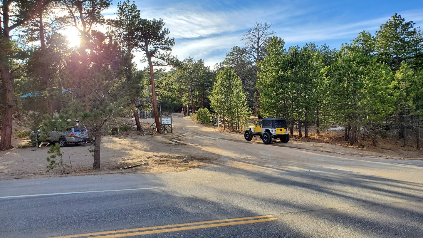
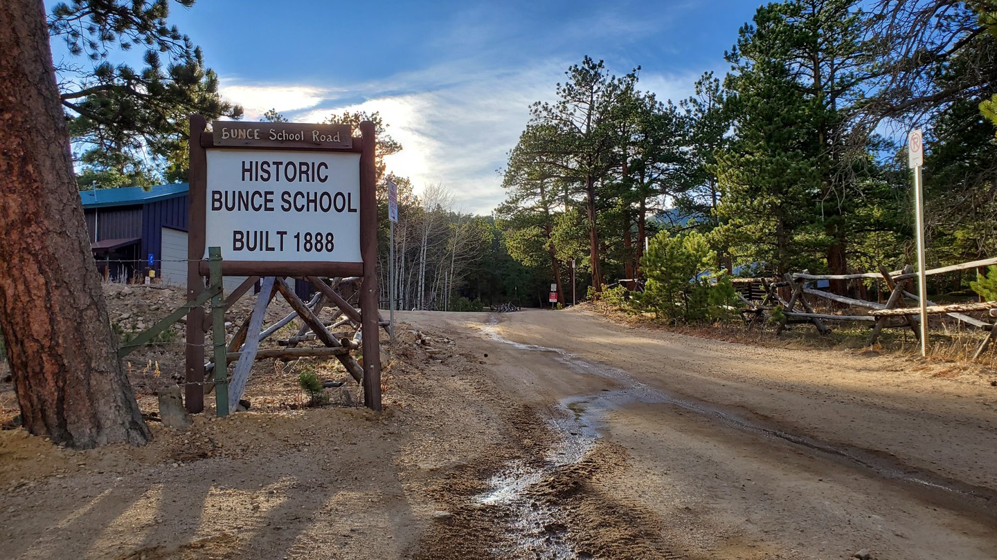
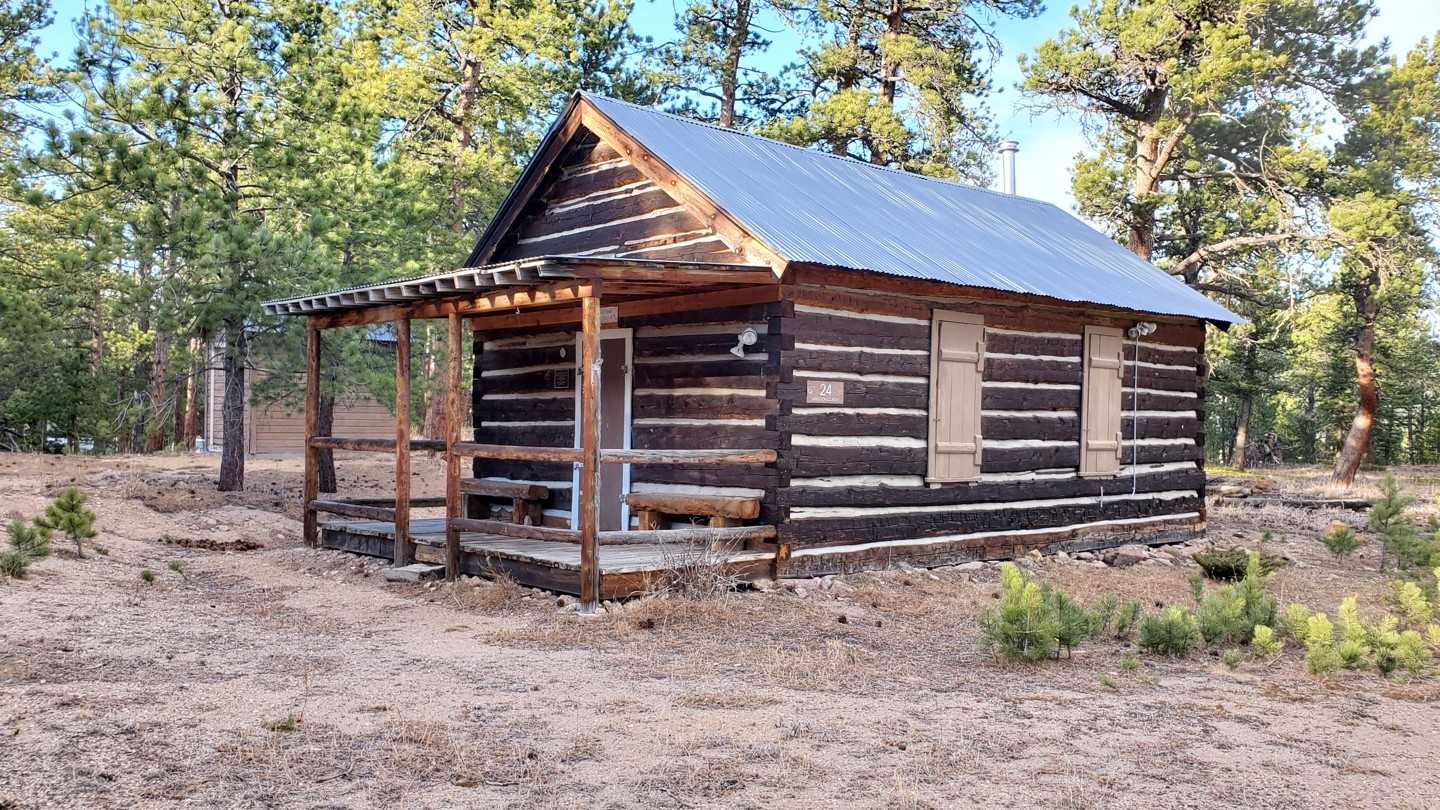
The northern trailhead begins on the south side of Highway 7, between mile marks 18 and 19. Look for signs on the highway that state "point of Interest". There is a small parking area directly at the turn that can be used for a couple of trailers or as an air down spot for multiple vehicles. As soon as yu start the trail, directly across from the fire station you will see the historic Bunce Schoolhouse. Constructed in 1888, the schoolhouse is one of only two log rural schoolhouses remaining in the county.
2. Parking Area (0.27 mi)
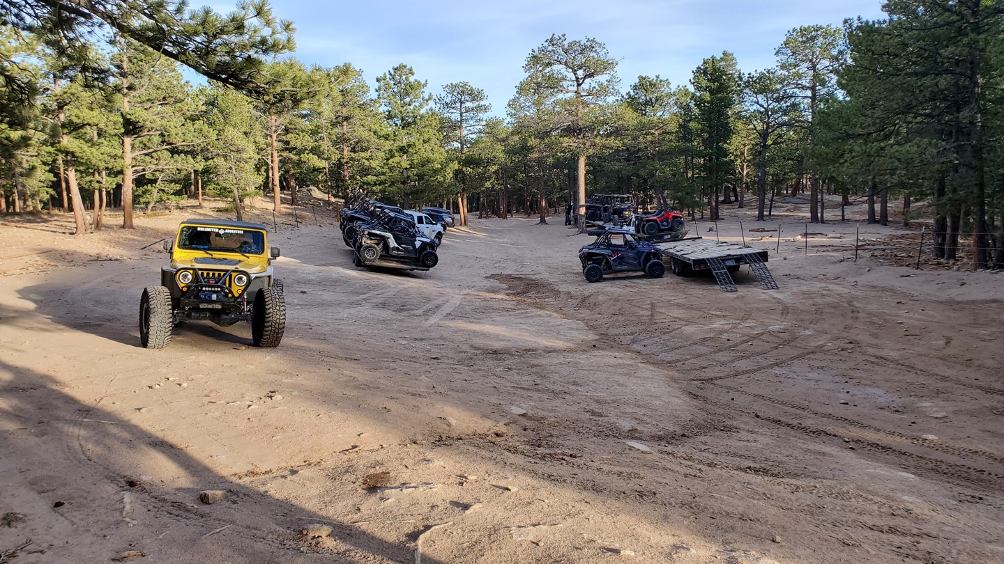
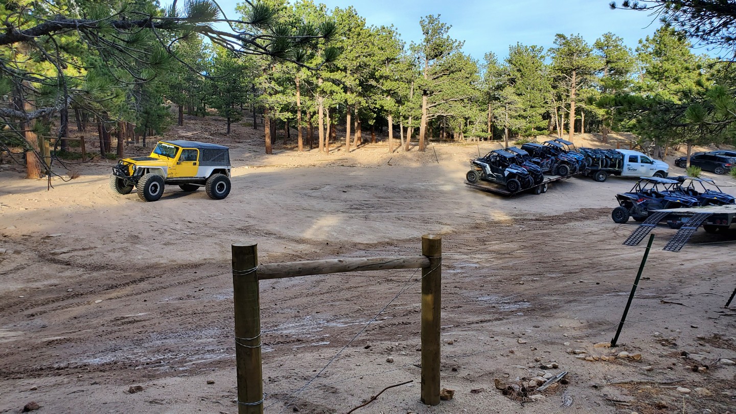
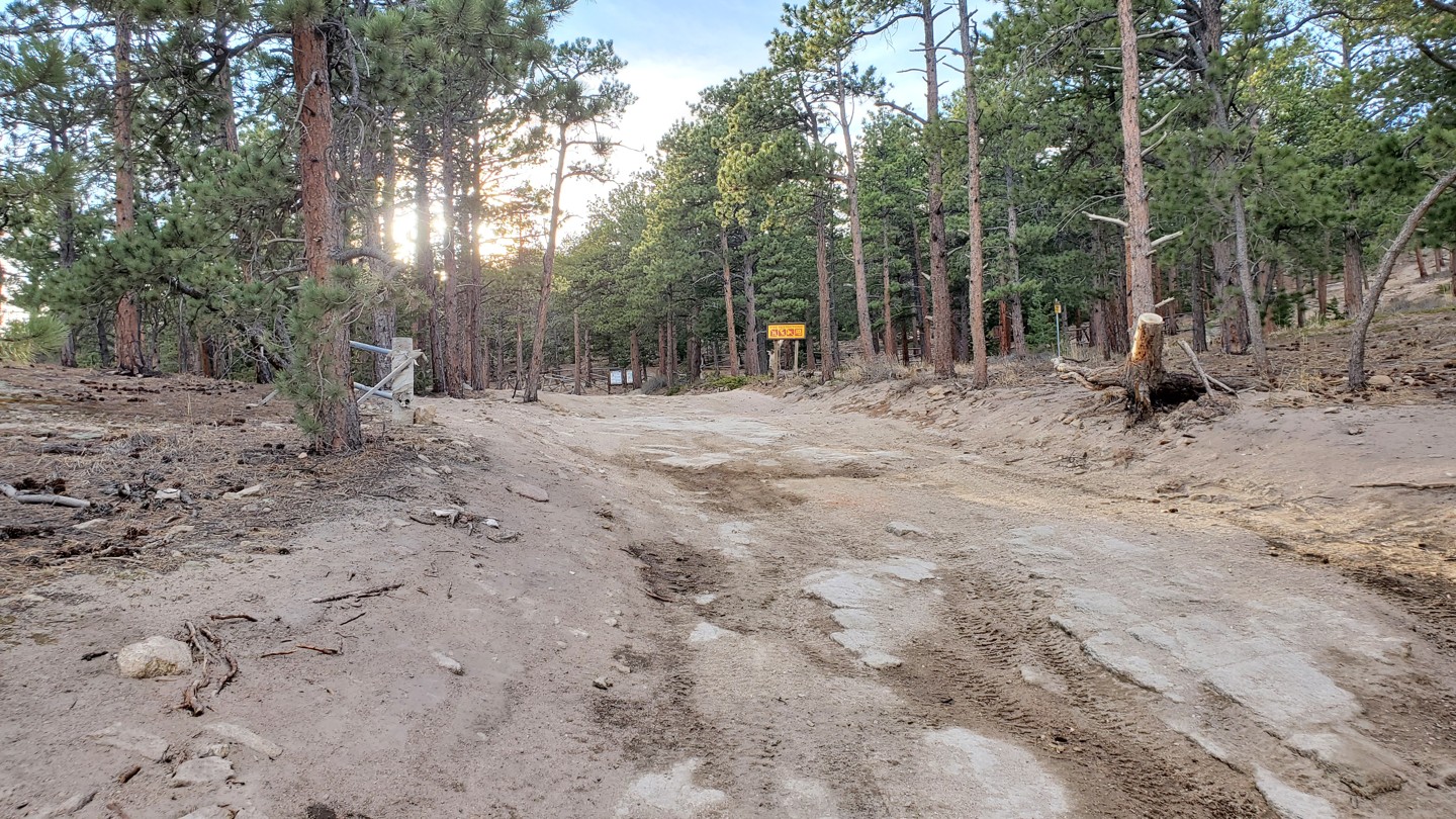
Located here is a very large parking area ideal for large groups to air down. Be prepared for many trailers to be here, including those of rental OHV companies. A short walk up the road is an informational sign for the area.
3. Stay Left (0.83 mi)
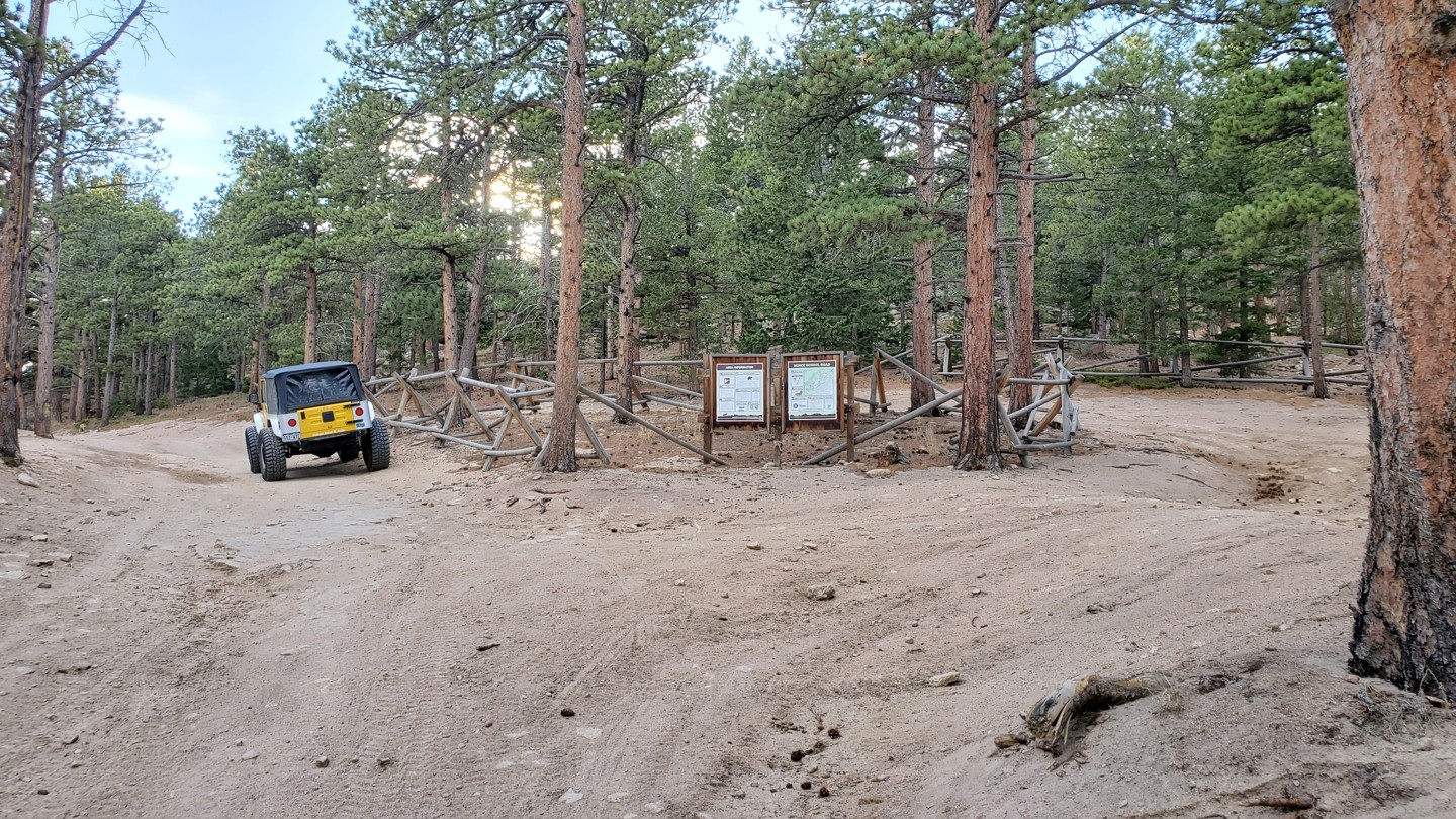
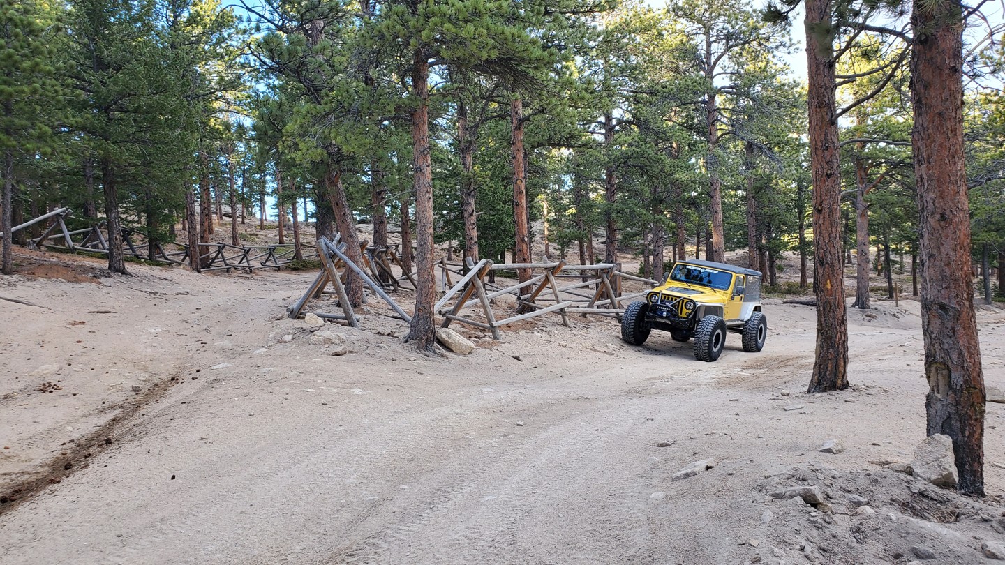
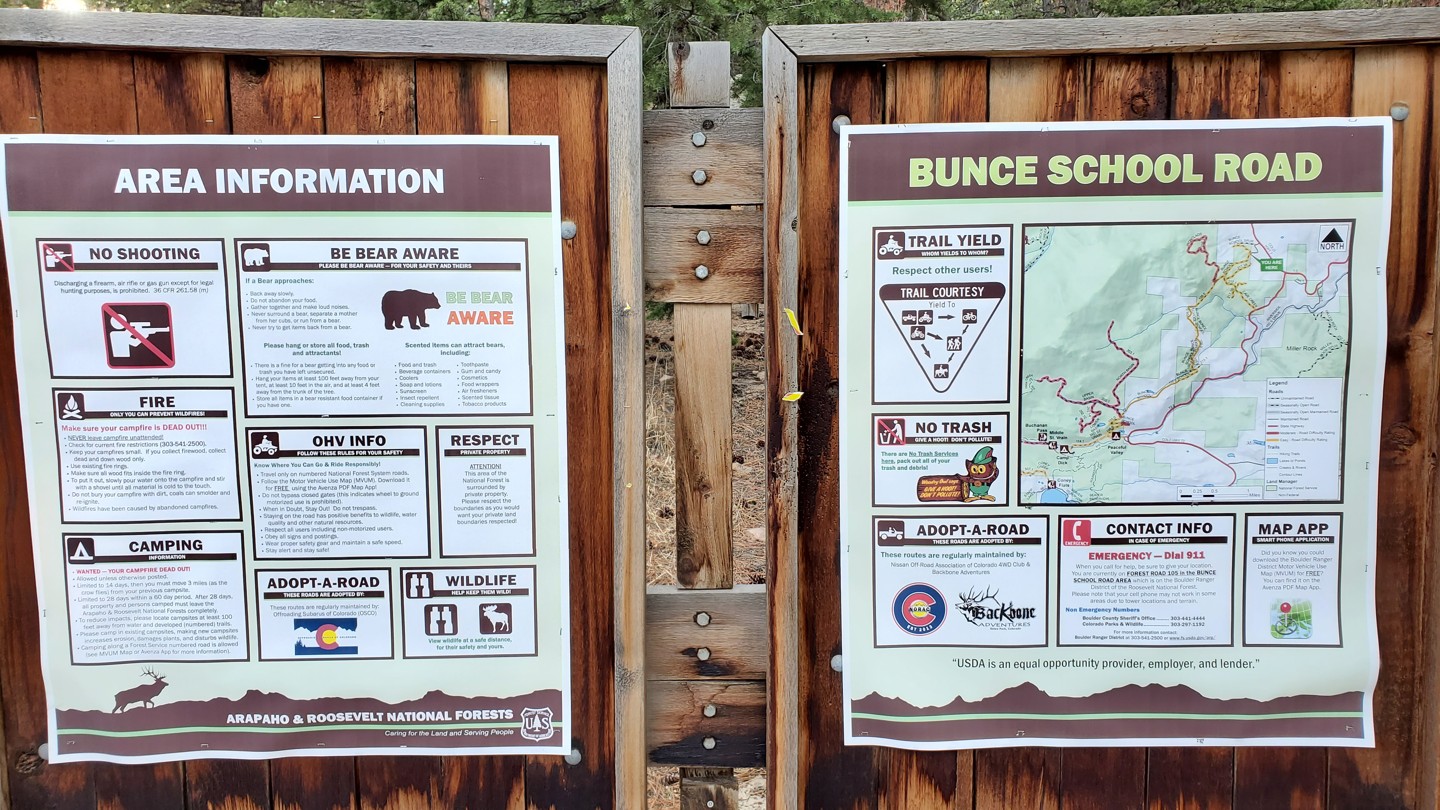
Stay left at this intersection. Here there is an informational kiosk with area information, rules, and regulations. There is also a local trail map that notes Forest Service and private property boundaries. The road to the right is a short spur that passes some private cabins and returns to the school house.
4. Campsite (0.64 mi)
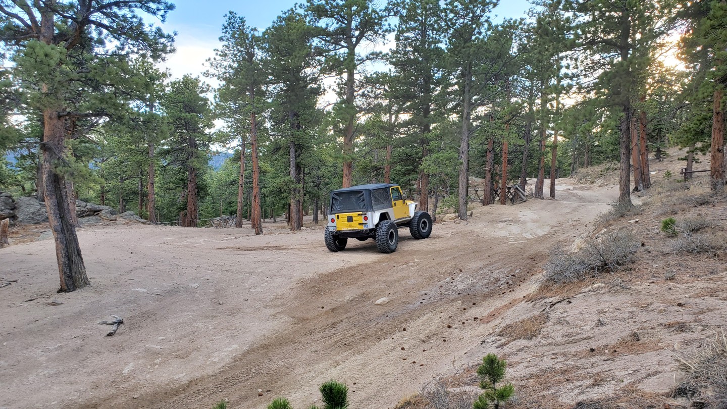
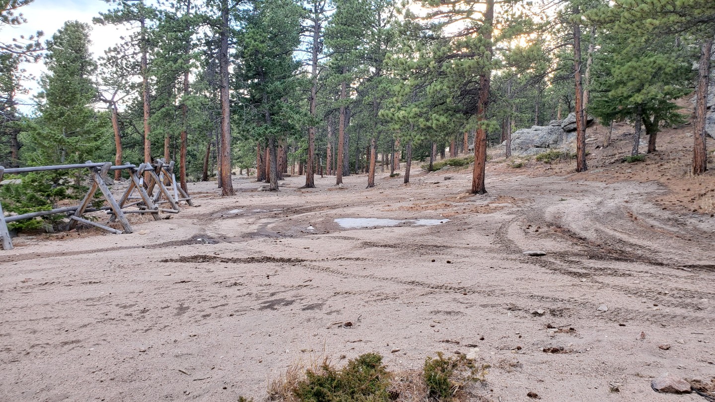
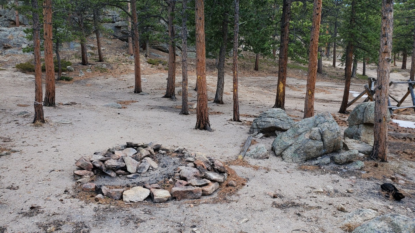
Down off the road is a large area for camping. This spot is very large and can accommodate a number of vehicles. The ground is pretty level with a lot of sand/gravel, but not much vegetation. There are a lot of good-sized trees for hammocks also.
5. Stay Right - 217.1 (0.84 mi)
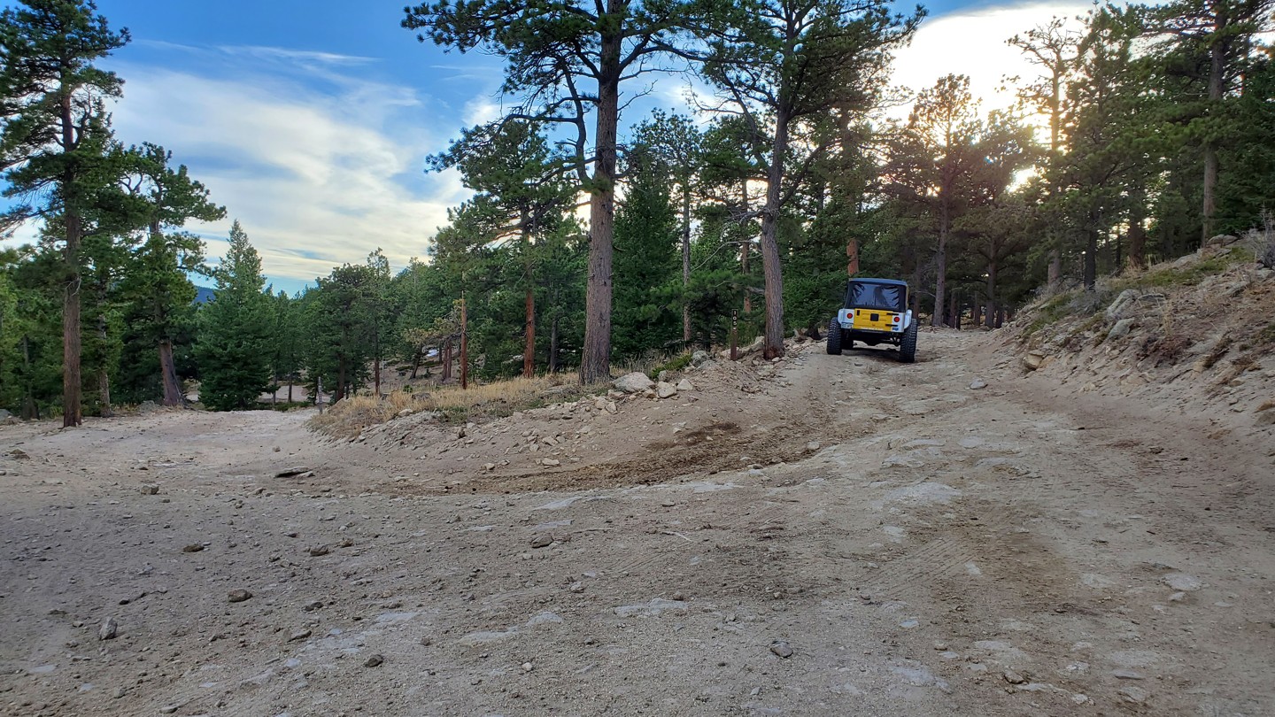
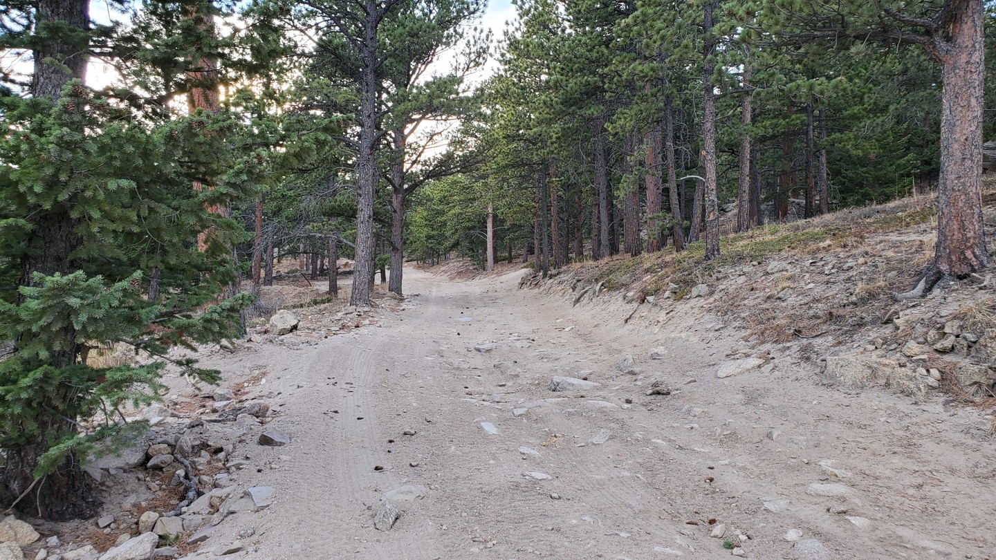
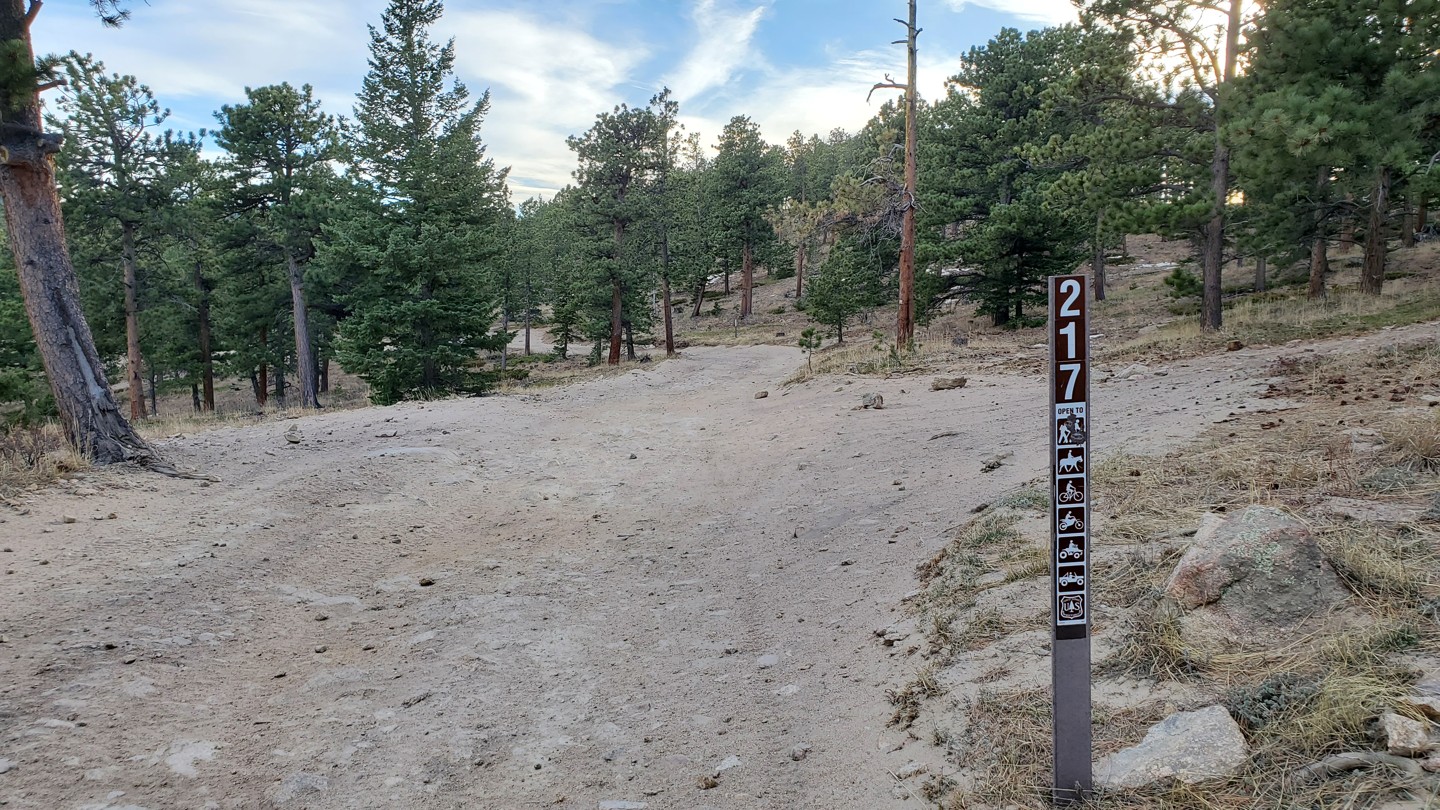
Stay right and continue down the higher road. Downhill to the left is FSR 217 that has a few spurs off of it before it dumps you out onto Highway 72, the Peak to Peak Highway.
6. Stay Left - 216 Ironclads (1 mi)
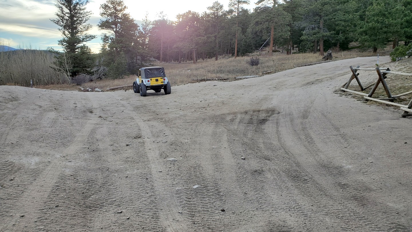
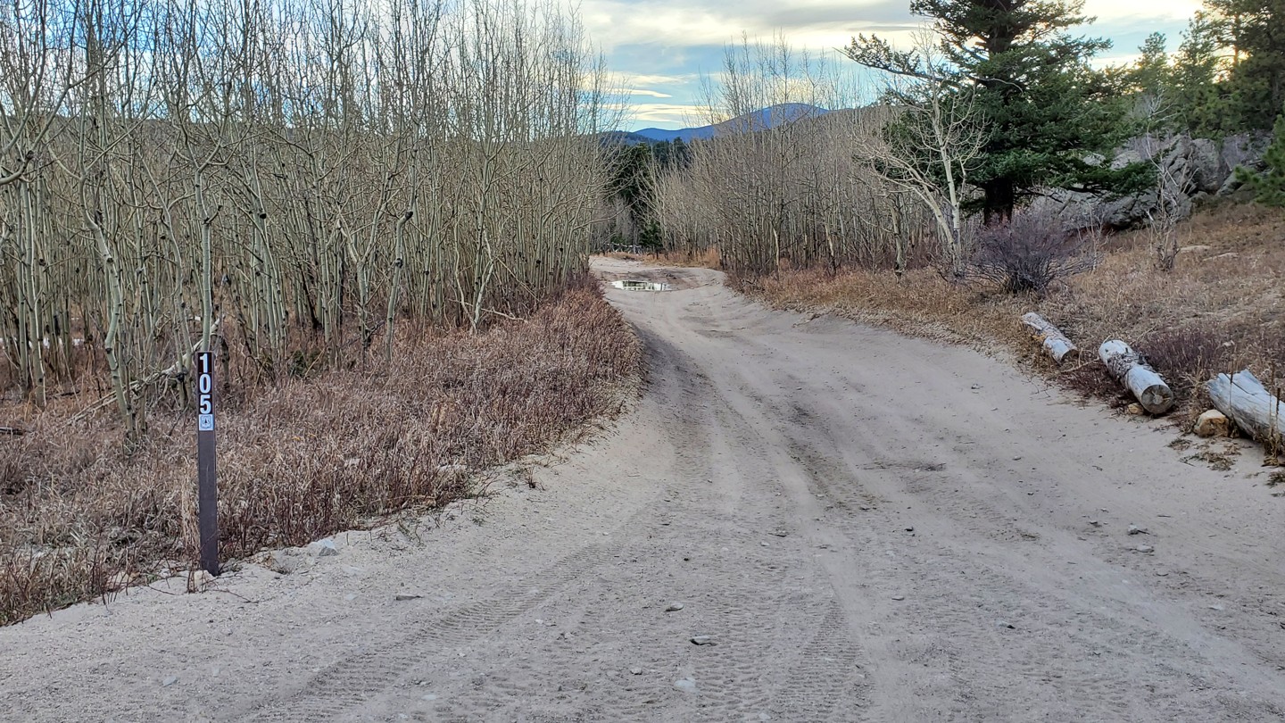
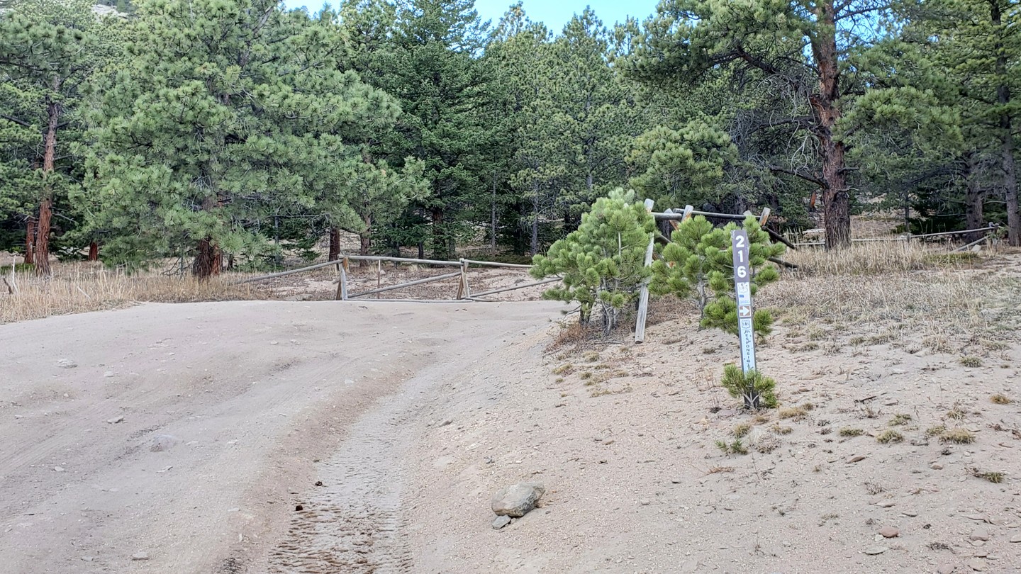
Stay left at this intersection. The road uphill to the right is FSR 216, the Ironclads Trail. Ironclads is a much more difficult trail that is open year-round. It is a loop trail that begins and ends at this intersection.
7. Campsites (1.21 mi)
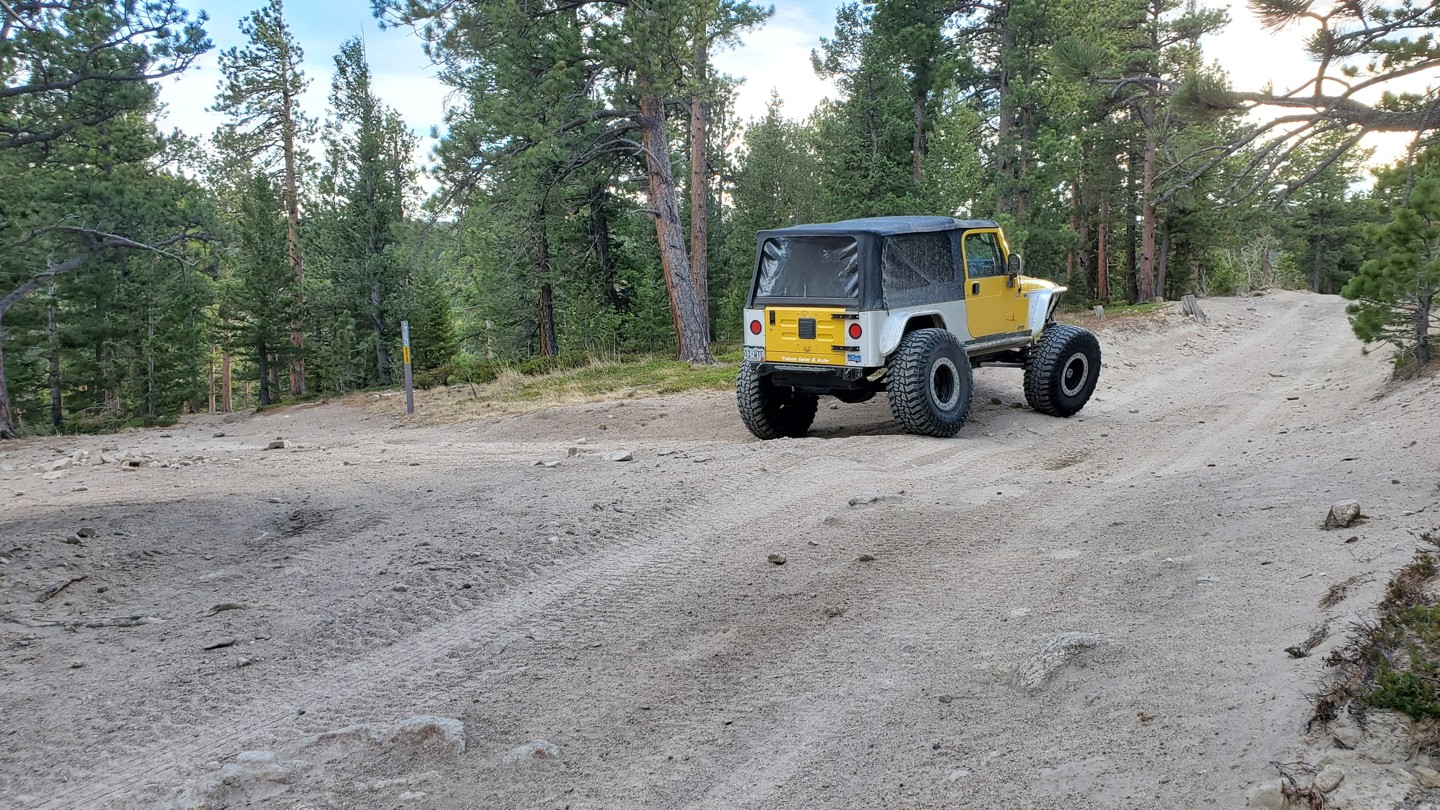
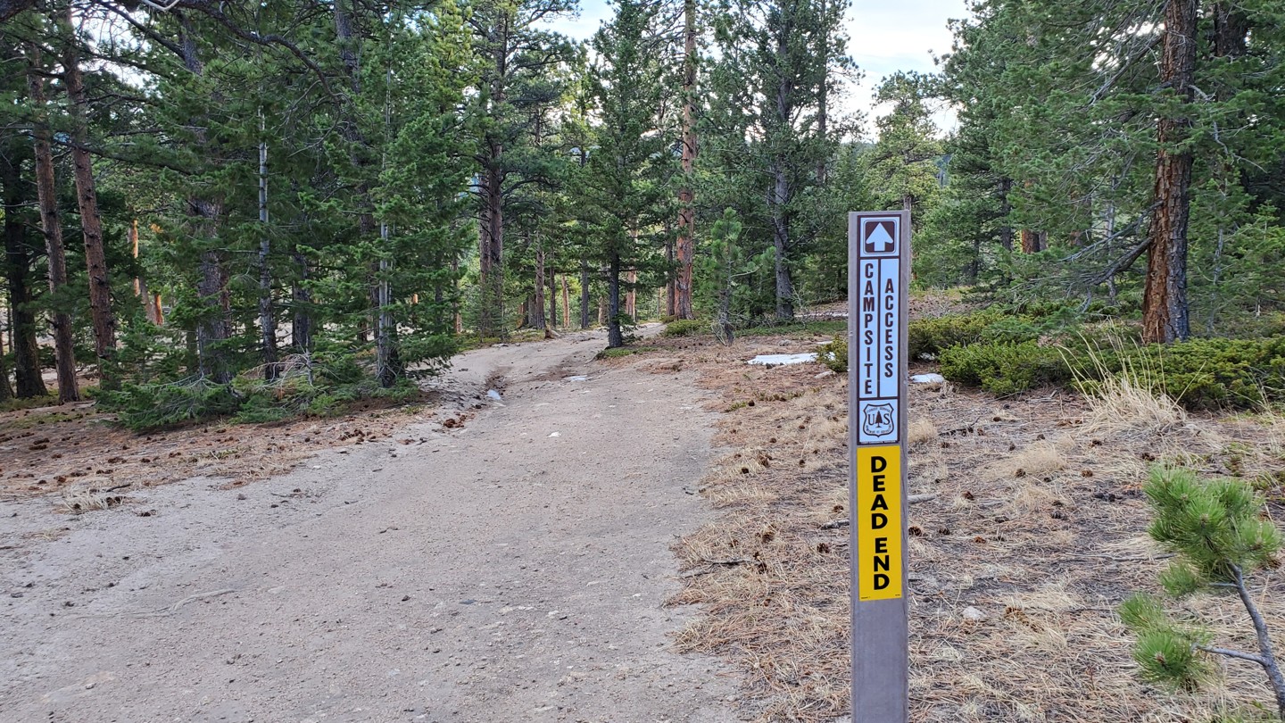
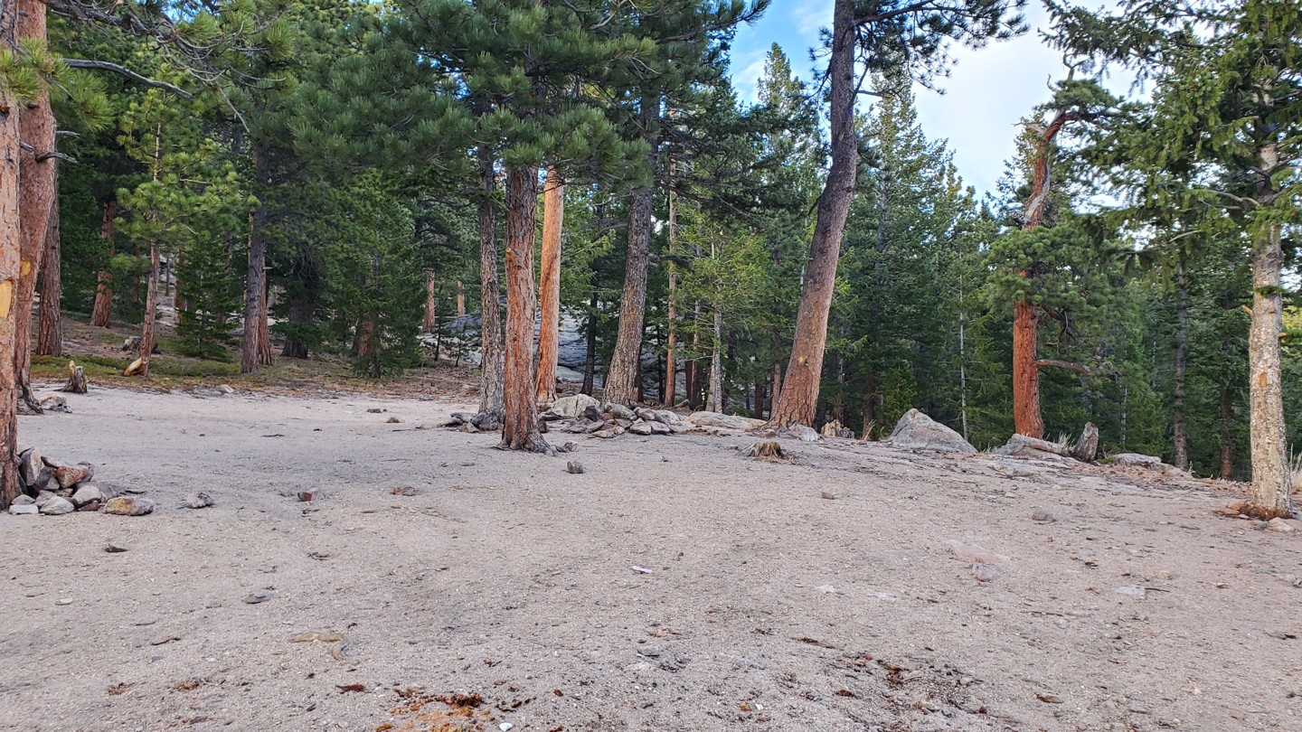
Off the trail to the south is a short spur that leads to a nice campsite that overlooks the drainage farther south. This spot is medium in size, good for a few vehicles.
Please note that after this, there are two small stretches where the trail passes private property on both sides of the road, and dispersed camping is not allowed. Refer to the Roosevelt NF - Boulder Ranger District (North Half) MVUM map for dispersed camping specifics.
8. Rocky (2.66 mi)
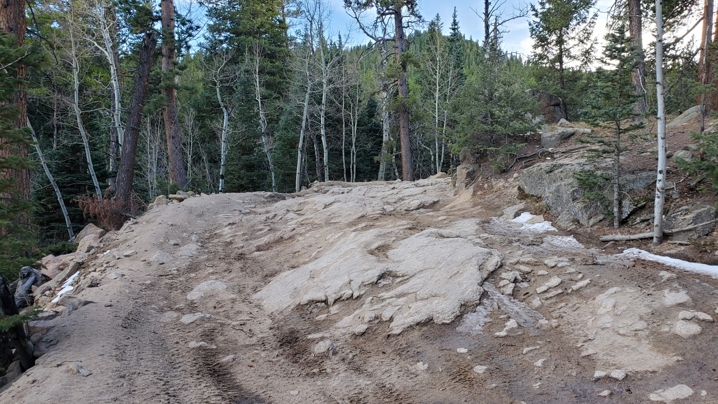
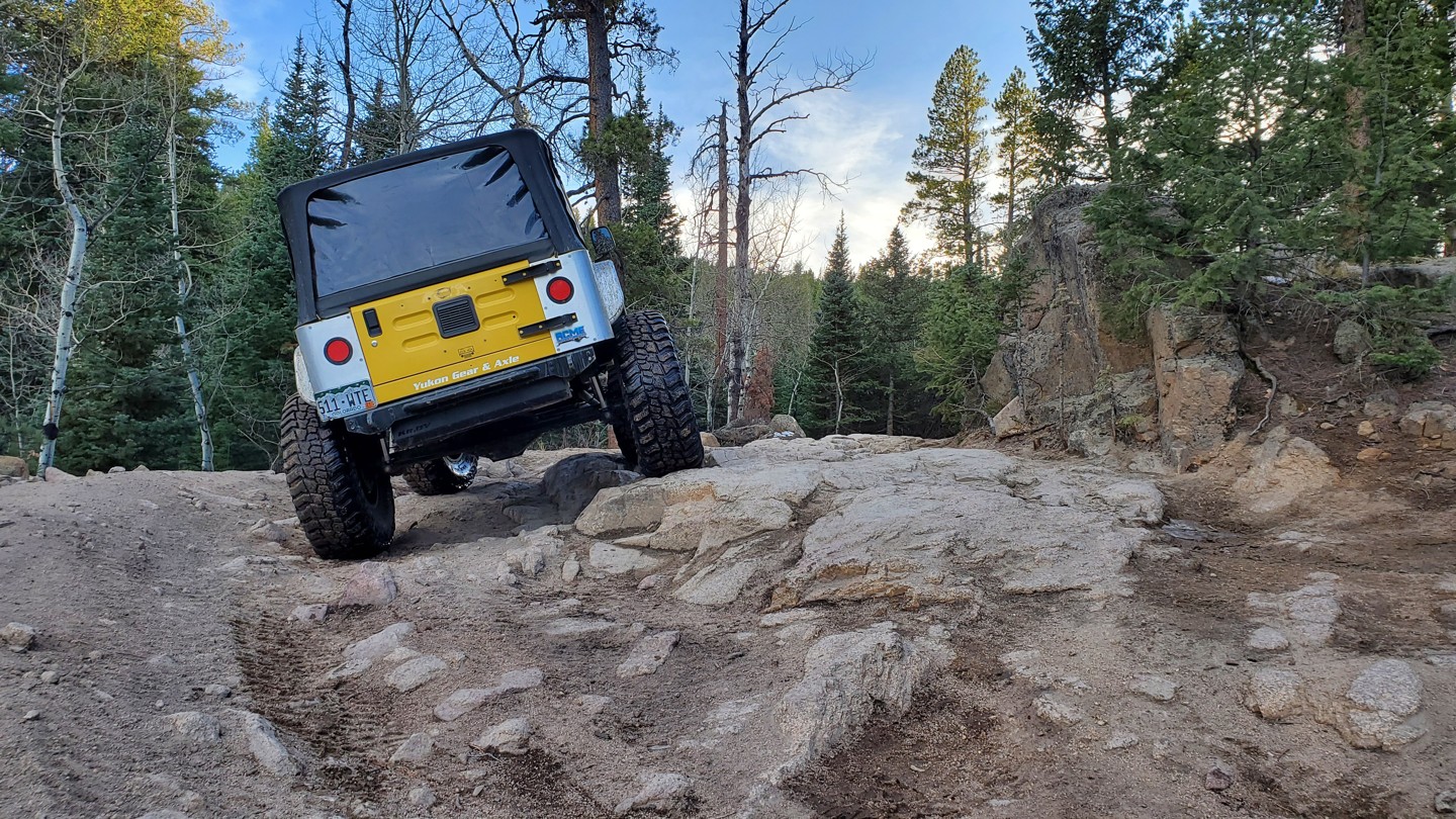
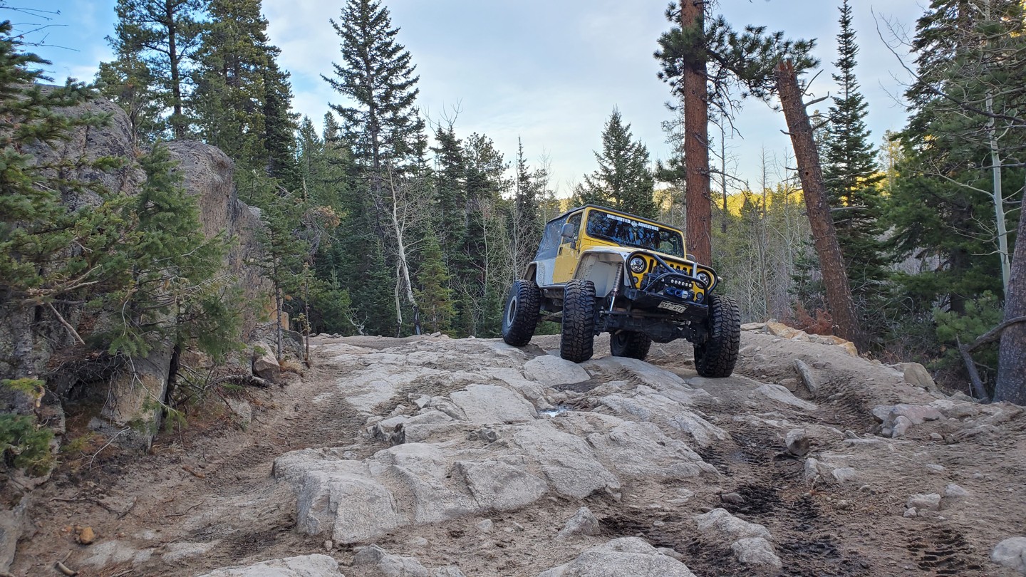
One of the few obstacles along the trail, this rocky section is easily navigated with some slight off-camberness.
9. Stay Right - 213 (2.82 mi)
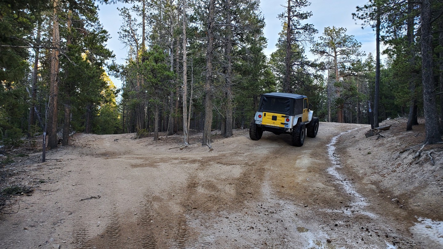
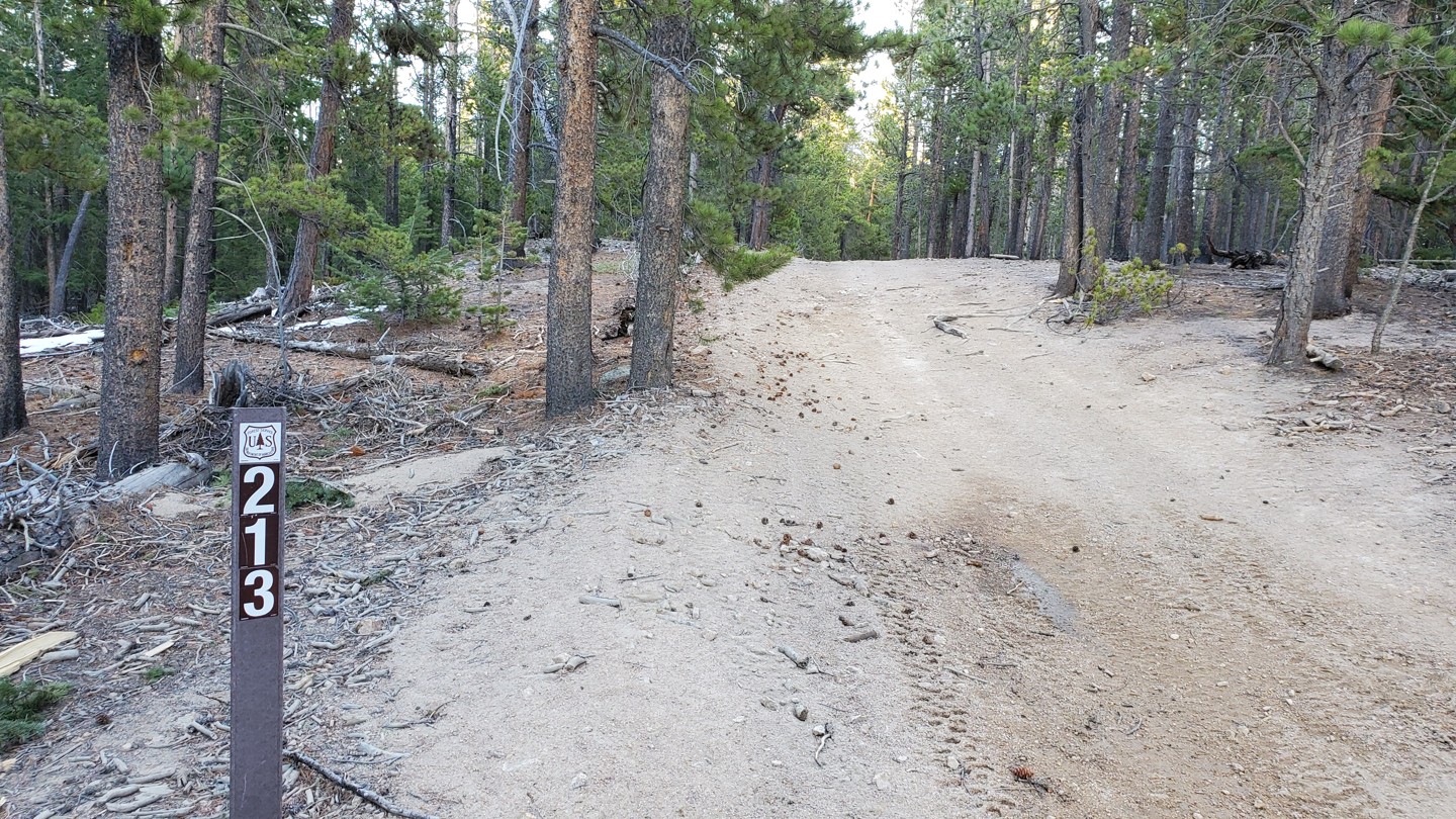
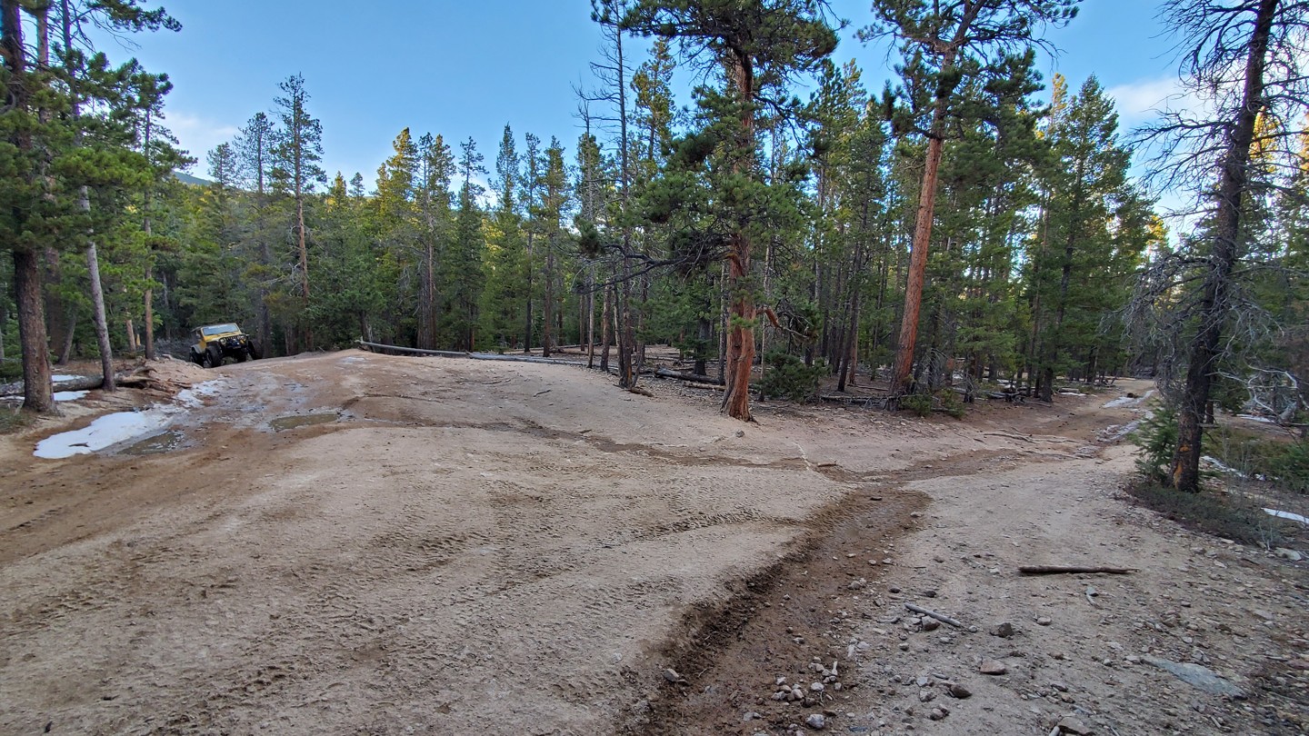
Stay right at this Y intersection. FSR 213 is on your left and heads west a short ways to a couple of potential campsites and eventually dead-ends at a private property gate.
*Dispersed camping is once again allowed along the road here, until waypoint 10.
10. Campsite (3.14 mi)
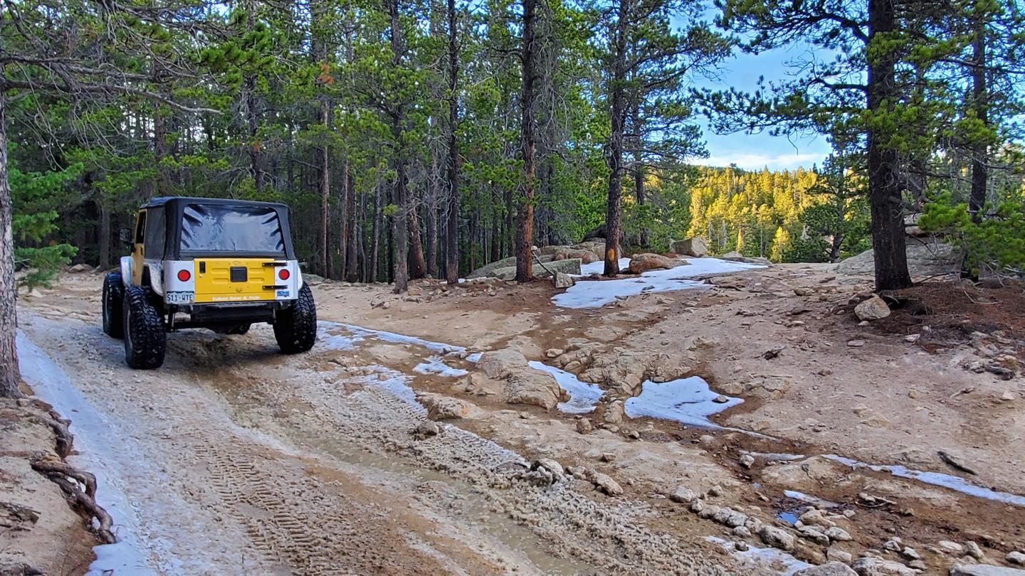
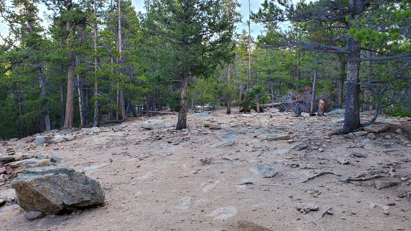
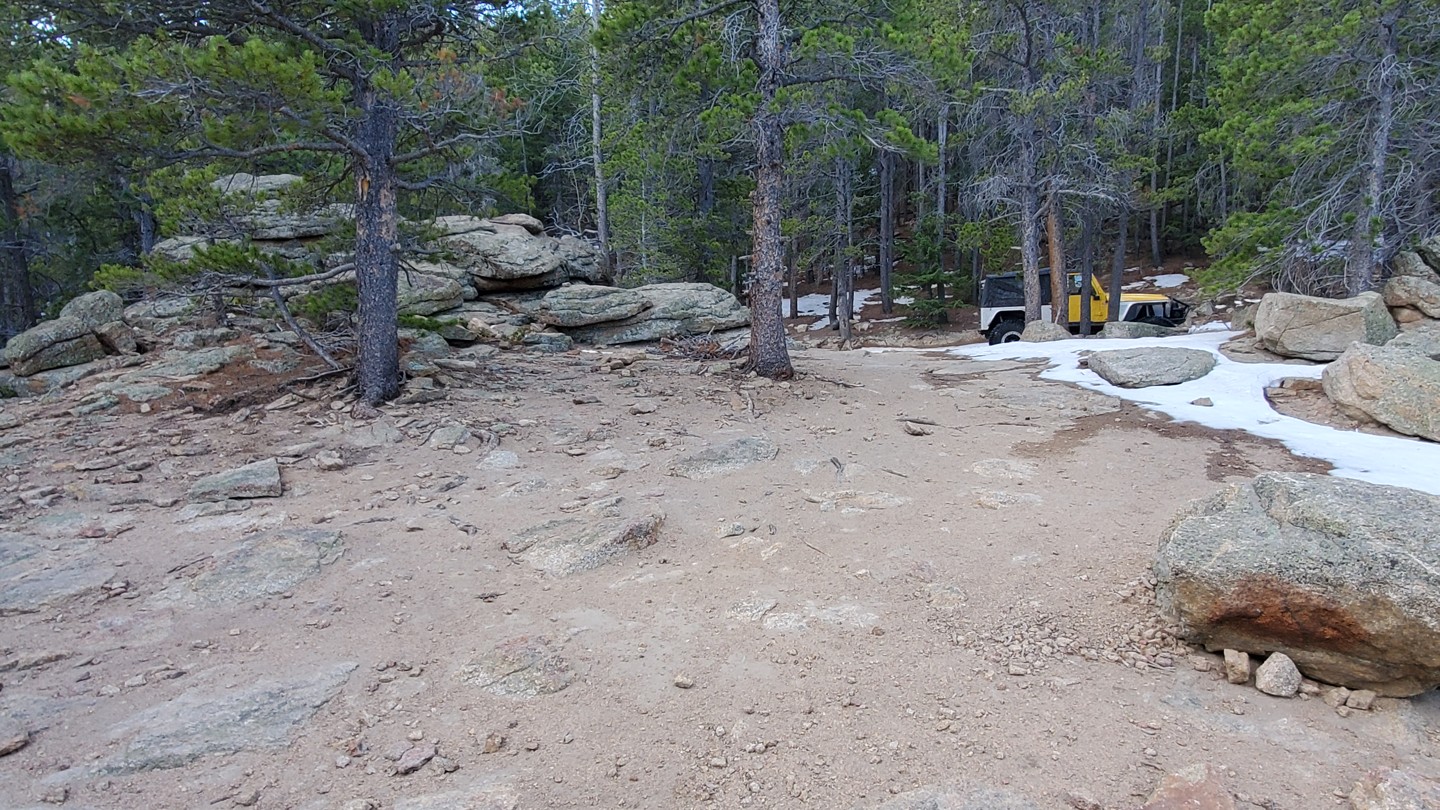
To your right, tucked off the road is the last dispersed camping opportunity before the seasonal gate. This spot is ideal for vehicle or hammock camping as the ground is extremely rocky and not very level.
* Note that beyond this point, dispersed camping is not allowed for the next mile.
11. Stay Right - Unknown Road (3.59 mi)
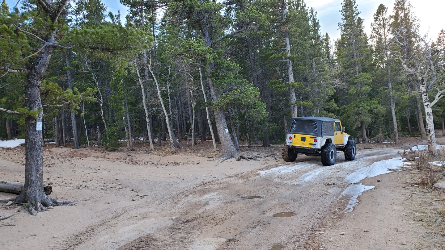
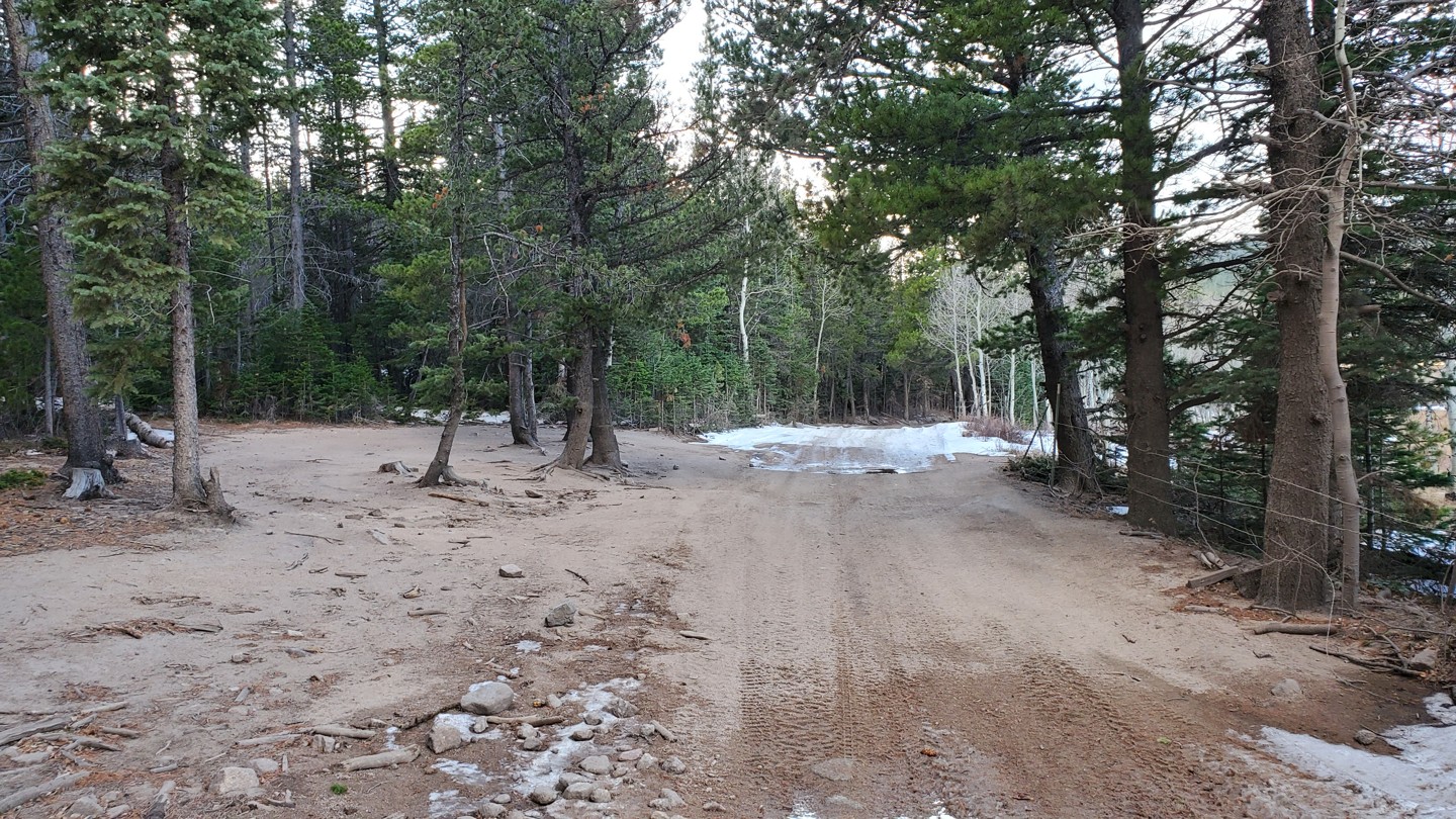
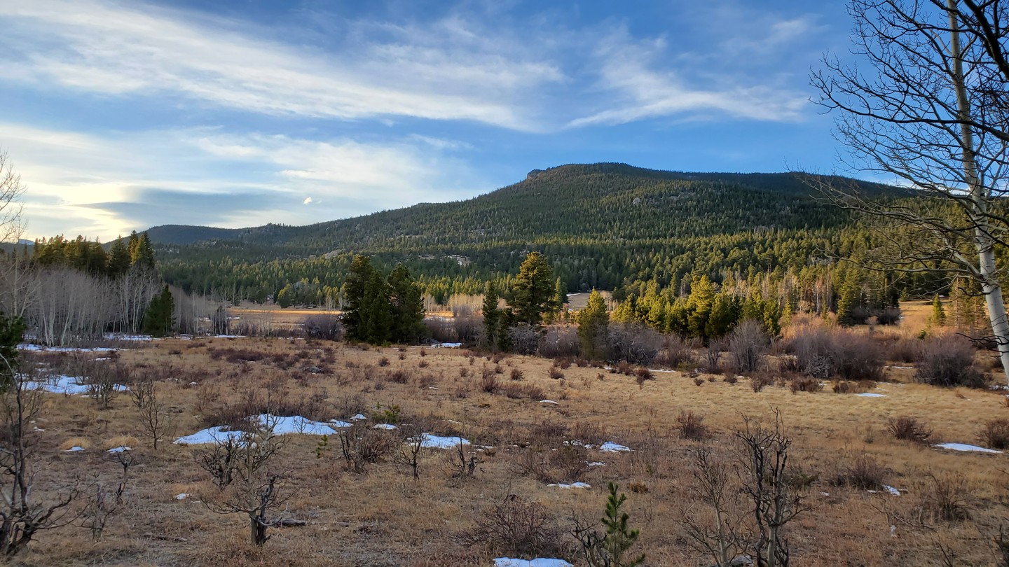
Stay right at this unknown road and follow the trail southwest as it treks along the edge of a scenic meadow.
12. Seasonal Gate (4.14 mi)
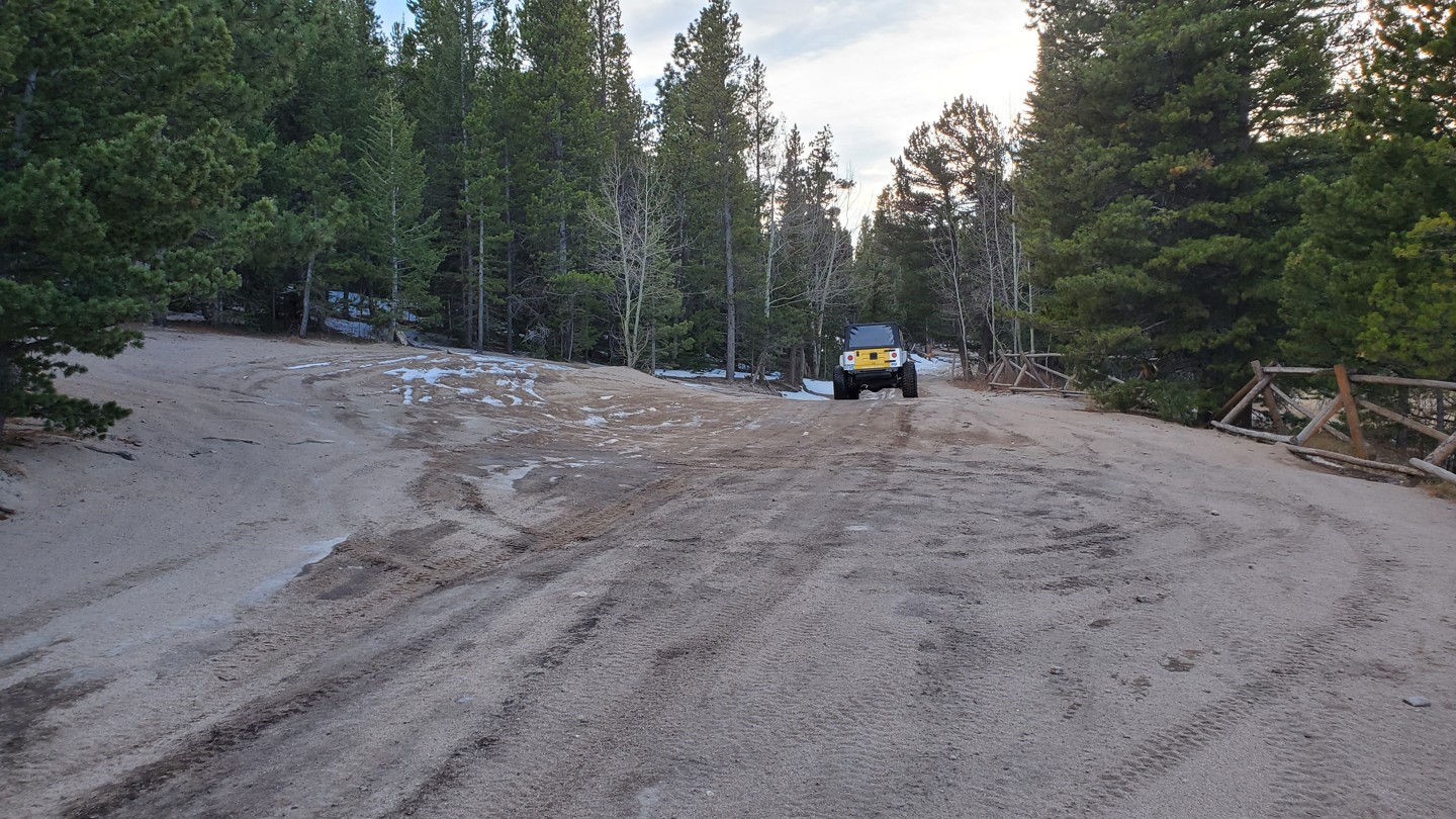
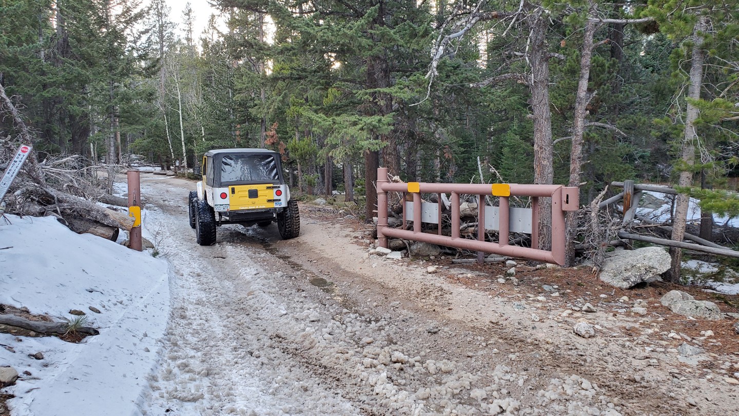
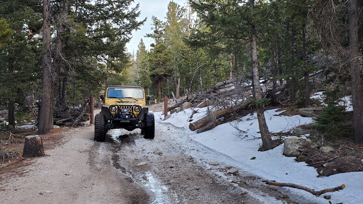
The seasonal gate here closes the last mile of the trail winter through spring (11/15-6/15) depending on snow conditions. There is a large turnaround just before the gate for those traveling the road during this closure.
*Note that dispersed camping is once again allowed
13. Stay Left - 202 Park Creek (4.23 mi)
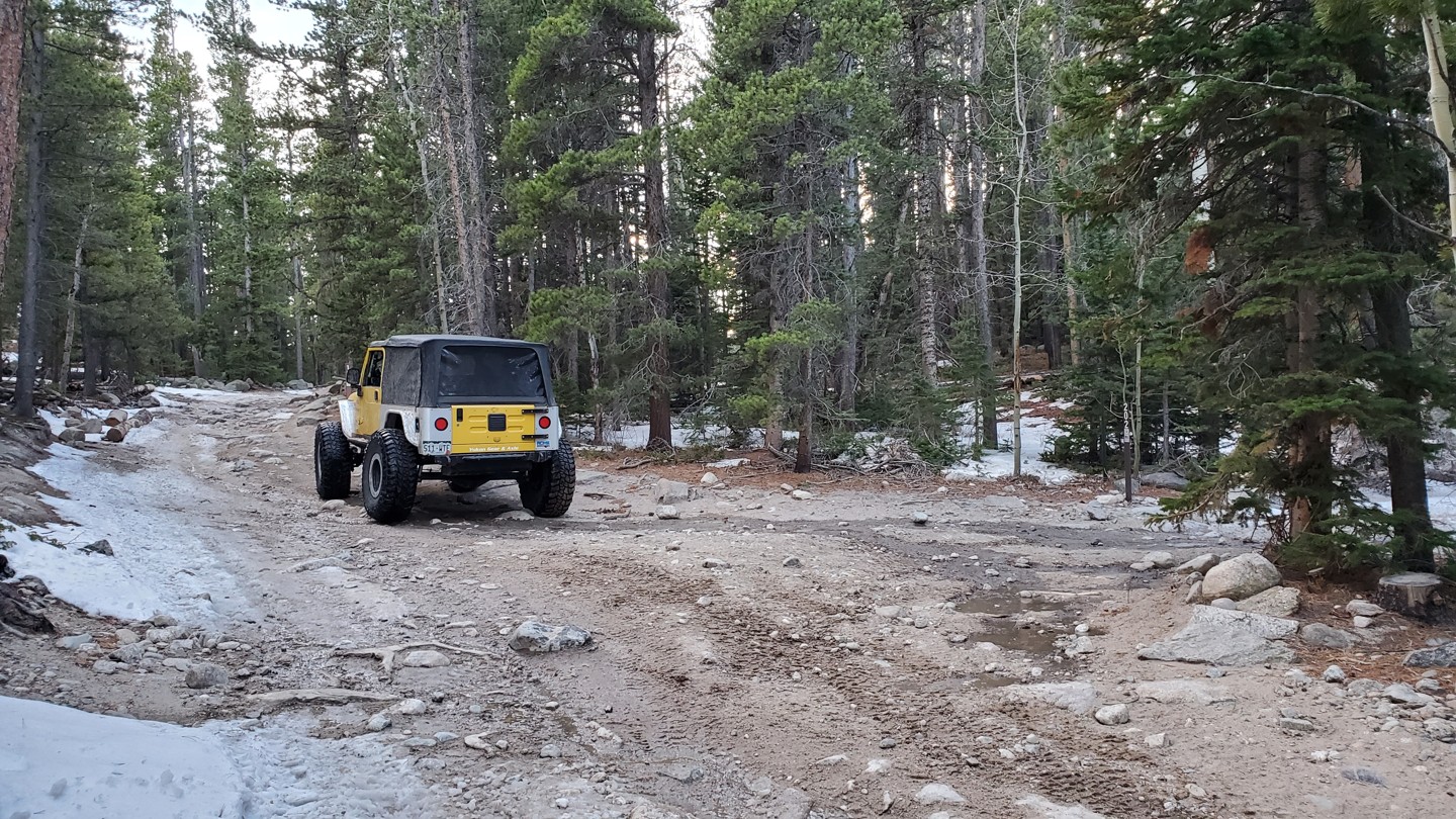
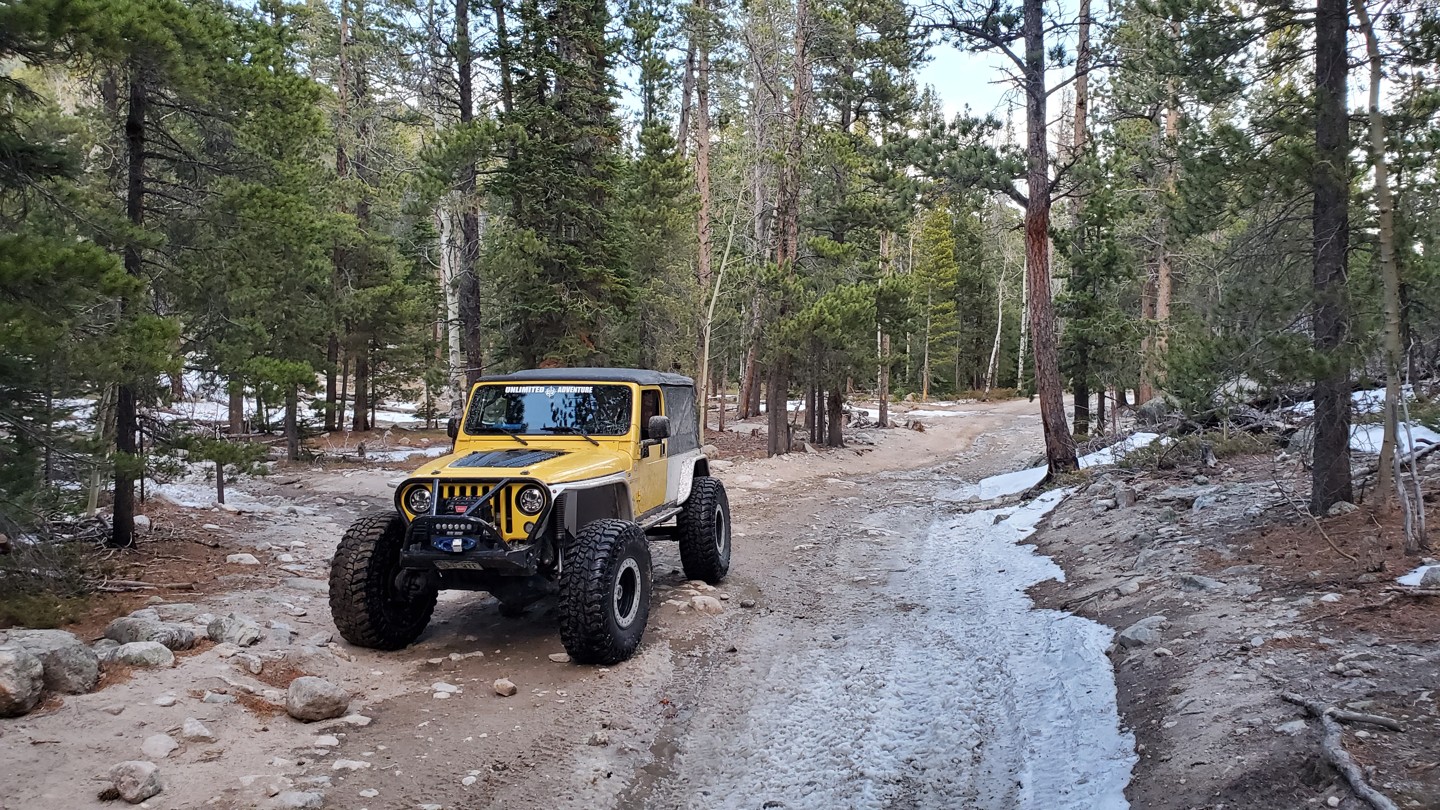
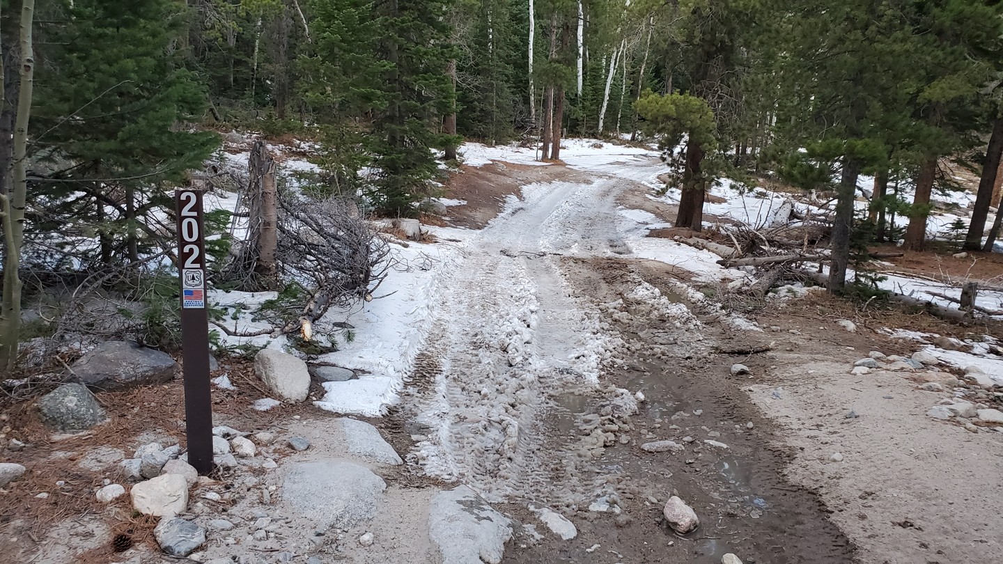
Stay left to continue down 105. To the right is FSR 202, the Park Creek trail. This turn will also take you to the T-33 Plane Crash Trail. Both trails are more difficult than the current trail you are on. From this point forward till the end, the trail gets much rockier with a lot of large river rocks peppering the trail.
14. Southern Trailhead (5.15 mi)
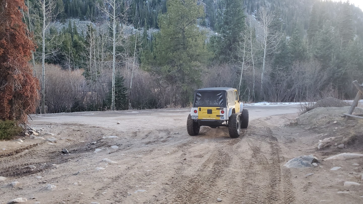
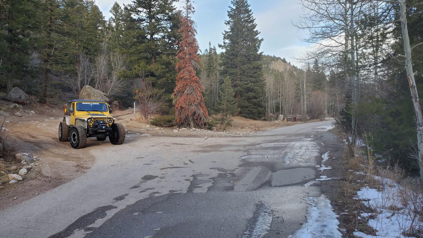
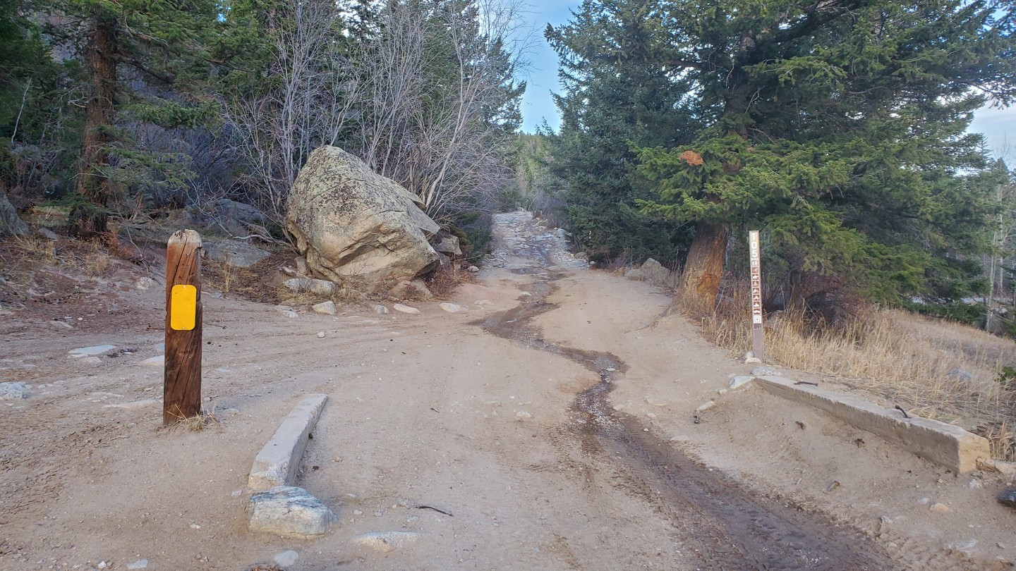
The trail ends in Peaceful Valley, near Camp Dick campground. Turn left and head east to connect with Highway 72. Turn right to pass through Camp Dick and begin the Middle St Vrain trail.
Dispersed
Improved
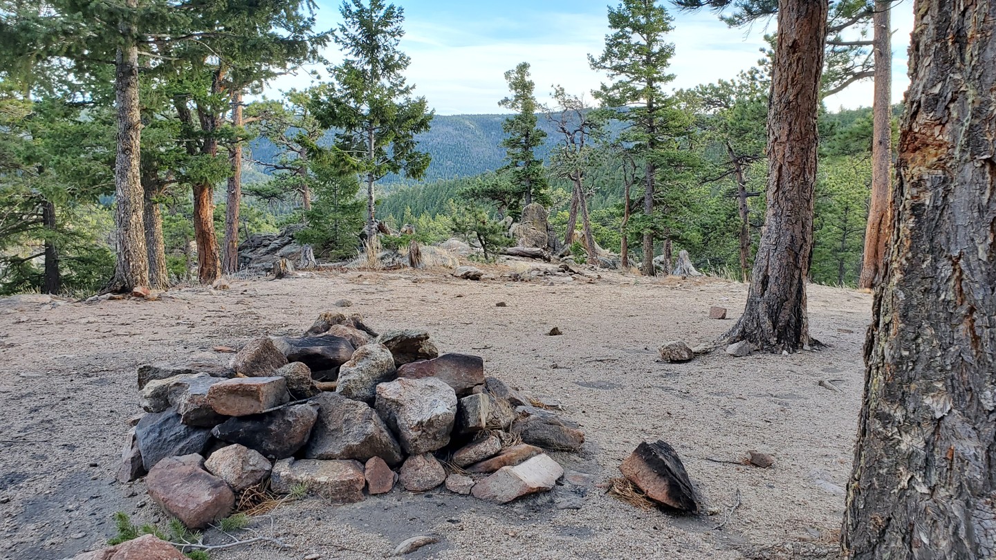
Dispersed camping is allowed along the majority of the trail, but not allowed the entire length. This is due to private land ownership on both sides of the road. Dispersed camping is allowed between waypoints 3-7, 9-10, and 12-13. Please refer to the Motor Vehicle Use Maps (MVUM) for specific dispersed camping locations.
Camp Dick at the south end of the trail is an improved campground.
Starting Point
Lyons
From the Longmont, head west on Hwy 66 into Lyons, CO. Once you get into Lyons turn left at the west edge of town onto Highway 7 and continue west. Approximately 1/4 mile past Highway 72 there will be a "Point-of-Interest" sign pointing to the left. The "Point-of-Interest" is Bunce School Road which is the start of the trail.
From Estes Park, take Highway 7 south through Allenspark. Before you get to the turn for Highway 72 you will see a sign for a "Point-of-interest" a brown sign with arrows. This point of interest is the Bunce School Road where the trail starts.
Bunce School Road is a straight-through trail, however the south end by Camp Dick has a seasonal gate. Bunce School Road is under close observation due to people constantly going off trail, so PLEASE "STAY THE TRAIL!!
Trail Reviews
4/5 (60)
Open
Visited: 10/29/2022
Difficulty Accuracy:
Harder
Something has happened to Bunce. it is much rockier than normal with more obstacles in the first part than it used to have. I'd say this is moved up to a 3 at least in the first 2 miles or so, turned around right past the end of 105 due to some ice/snow.
Open
Rated
4/5
Visited: 08/28/2022
Difficulty Accuracy:
Harder
Great trail but was not expecting the difference in difficulty compared to other trails that are rated medium on here. I have a stock Colorado, made it fine but definitely got more challenging than expected. I’d recommend bringing a spotter.
Open
Visited: 04/10/2022
Difficulty Accuracy:
Spot On
Trail wasn't too bad until somewhere around waypoint 10 to 11. I was alone so I didn't want to push it as my diff was dragging in spots. Once I had a few traction issues I turned around and headed back down.
Open
Rated
4/5
Visited: 02/19/2022
Difficulty Accuracy:
Harder
Whew is there some snow up there and that snow was slippery and garbage. We made it almost to waypoint 12 at which point there was no more vehicle tracks and only snowmobile. I tried going forward (37s) but was up to the bumper and got stuck immediately. Had to winch a bit. Not sure this part is passable and had to turn around. The hill climbs can be done if you air down and hit the gas. This road according to the FS site does not close.
Open
Rated
4/5
Visited: 06/12/2021
A fun little trail. Not particularly challenging but be aware that the last switchback between WP 13 and 14 can get a bit tricky. It's pretty off camber but going down shouldn't be a problem for most. However, coming up I recommend 4L and careful tire placement. Stay to the left of the rocks while making sure you don't stray too close the the edge. I have 37s and a 3.5" lift and had some rubbing on the rear fender but otherwise had no issues. Something like an unmodded 4Runner may scrape the bottom so take it slow.
The trail is also almost bone dry. You won't get stuck on this one.
Open
Rated
3/5
Visited: 06/06/2021
Like a lot of heavily-trafficked Front Range trails, there’s lots of dips, holes, and exposed rocks, making sections that would otherwise be uneventful dirt road into a kinda slow, bumpy slog. This guide is a little light on details, so it’s worth noting there’s actually several small rock gardens, with good odds a stock rig will knock or drag a belly in places even with best case wheel placement. About 2/3s in from the Bunce School end is a fairly substantial obstacle that runs right up to the harder end of this trail’s rating: a deep notch that at the easiest line has to be straddled then traversed, which puts stock suspension right at the limits. The low end 2 rating seems a tad conservative though perhaps not entirely off.
Open
Rated
4/5
Visited: 06/03/2021
Trail is fully open from both sides.... camp dick campground is open and allowing campers as well there was no snow at all on the trail. I didn't drive up to T33 to see if gate was open but with no snow my guess is it was open. very little razor or four wheeler activity on a Thursday made for great solo run.
Open
Rated
4/5
Visited: 05/23/2021
Always a fun run on this trail. Was myself in an lifted XJ, a buddy in his new Ford Ranger Tremor and brother on his quad. Water is DEEP in spots, not too bad for the trucks but the quad was tricky and we ended up having to rip a water logged air filter off after he bogged it at the puddles near the gate on the South end. The stock Ranger Tremor did well, only kissing the rocks in a few areas(#railswithstepsproblems). Gates still closed to Peaceful Valley however it appears to be open from Camp Dick side as we saw some trucks parked on the other side of the gate.
Open
Rated
4/5
Visited: 05/22/2021
The trail is open except the seasonal gate, it's still closed until mid June more likely. Great trail, I enjoyed it as a newbie. Took my stock Rubicon for it's first run, wish I would've had it lifted a bit as some of the rocks were a bit trickier to maneuver and I scratched my skid plates a couple times. I definitely want to do this trail again once my Jeep is lifted and the seasonal gate opens up. It's a busy trail, so be ware of others. Lots of other Jeeps, ATV's, and dirt bikes. People also go up into that area to shoot guns, so travelers just be aware. So much fun!!!!
Open
Rated
5/5
Visited: 05/08/2021
Ran from waypoint 1 through to 9 but turned around to revisit some sites back along the route. With reason rains and snowmelt, there are quite a few "water crossings" along the router but really they are large puddles, biggest of which was 8-9 inches deep right at waypoint 6. None of the ATV/SxS rental companies have set up shop yet so it was a nice quiet trail.
Partially Open
Rated
4/5
Visited: 05/01/2021
Today Mile High Jeep Club Patrol 2 decided to run Bunce, Ironclads, and run down to T33 and Park Creek to see the gates are still closed. We had some fun on Ironclads with Razors, 4 wheelers rolling and Drunks fighting on the trail but once we got back onto Bunce the trail was pretty quiet. The rental companies setup a sign between area 6 and 7 that states NO razors beyond this point. This i certainly think helped because the amount of razors and 4 wheelers we encountered past this sign was easily cut by 80%. Couple of off camber spots that have been dug out a little worse than normal because of the mud and snow but nothing to extreme. Fun going through some of these tighter forest areas but as we moved towards T33 and Park Creek we encountered a jeep that had gone down to the gates and apparently there was no place to turn around do to snow. We decided to turn our 13 member group around in some empty camping spots and head back.
Trail was fun, less razors, 4 wheelers and drunks made it way better. I look forward to doing these trails again in Late June i am now even considering doing a night run of these trails...... I think that could be real fun and we can avoid all the razor traffic.
Open
Rated
4/5
Visited: 11/18/2020
The seasonal gate is still currently open. The forest service told me on the 16th that it was open and did not give me an ETA for closure. I ran the trail on a wednesday, mid week, and it was still busy with rental OHVs. Not much snow or ice along the trail, probably the reason the seasonal gate is still open.
Open
Visited: 11/10/2020
Stage 3 fire restrictions have been lifted as of 6am, 11/10/20. The forest is no longer fully closed. Areas within fire perimeters remain closed. See closure maps here: https://www.fs.usda.gov/detail/arp/news-events/?cid=FSEPRD844558
Expect winter conditions on trails. Some trails may be impassable due to snow.
Open
Rated
4/5
Visited: 06/07/2020
Fully open, near the southern end of the trail things look a bit gnarlier than they actually are. Ran the trail with my Tacoma on 32" tires and rock sliders. There were a fair few side-by-sides and dirt bikes but they seemed to be pretty courteous. Fun trail to run with the IronClads Trail
Open
Rated
4/5
Visited: 06/05/2020
Trail is definitely more challenging than last year.
We ran it in 2 subarus last weekend..couple spots had lots more ruts than last year .
Do not recommend doing the north end of bunce in a subaru with anything less than 2.5 inches of lift and skid plates .
I have a 5inch lift and rear locker in mine on 30x9.5 . .
Otherwise very busy trail. Mostly inexperienced utv and atv riders. Keep your eyes open.
Open
Rated
4/5
Visited: 05/09/2020
This was a fun little trip. I parked by the highway, which I would suggest doing if there is space. We got to the trailhead at about 9:30 and I wish we would have been there about an hour earlier. There is a UTV rental business here and that meant that there were lots of idiots who thought they were at the Baja 500. No etiquette or respect for the country.
This trail has some fun spots for climbing rocks, some water crossing and some beautiful scenery. We got to the end of the trail, the Camp Dick trail is closed for right now. We got out some chairs and just enjoyed the peace and quiet until some UTV renters had to blow through our relaxing spot. One of them had to spin out and throw dust and dirt all over the place. Later, on the drive back, found one of the renters who blew through us earlier, stuck in the middle of the road with a broken front axle and the front tire off to the side of the road. Karma was alive and well!!!!
Overall, this is a fun trail. Some rougher spots and really pretty scenery. Get there early or during the week to get away from the UTV renters and enjoy some pretty country!
Open
Rated
5/5
Visited: 02/15/2020
I went today and it was good at the beginning but later it get on deep snow passable on my stock Xterra PML but I decided to turn around bc some other told that the plane crash maybe close and i didn't want to risk and get stuck.
Very fun for snow wheeling at this time.
Partially Open
Rated
3/5
Visited: 02/01/2020
Trail to the seasonal gate was surprisingly dry. No fresh snow appears to have fallen in awhile. The road was mostly dry with patches of snow/ice and some muddy water holes. The closer to the gate, the more snow.
A lot of UTV rentals on the trail! A lot of recreational shooters on nearby spur roads also!
Partially Open
Visited: 10/12/2019
Lots of packed snow a few miles in, but no traction issues anywhere. Gate closed at Camp Dick. Great trail for a stock Tacoma.
Open
Rated
4/5
Visited: 08/23/2019
The Bunce School Trail is an easy trail with high traffic. It’s a public road so there are residents that live off the trail and two companies that rent out ATVs and UTVs. Great trail for beginners that want a challenge. Surplus of areas to camp and shoot with some great views. If it’s not enough of a challenge go on up to the plane crash or ironclads.
Partially Open
Rated
4/5
Visited: 04/27/2019
Trail is closed at the south end. We ran the trail from the North end up till somewhere between WP05 and WP06. This section is still snowed in. The snow is melting, but the large snowbanks are still sinking lots of folks. There were several self-recoveries and UTV recoveries going on when I got to the end. Most of the trail is clear, however. Good, tacky, moist dirt right now. No obstacles are being impeded by snow or ice (until the end).
Open
Rated
4/5
Visited: 04/25/2019
Wish I had read the 4/21 entry before heading down the trail. I went to stretch the legs on my brand new stock 19 JLUR. I wasn't trying to get too crazy as I was alone. As the last review says, it gets nasty after the no UTV sign. I made it over 2 snow patches before deciding it was getting too bad and I needed to turn around. Unfortunately I had dropped off the second snow patch and ended up high centered trying to get back. All 4 wheels had zero traction. it took an hour and a half of stuffing rocks and branches under the wheels to get myself free. Without front and rear lockers I would have been hiking out.
If you want to go past the sign I would highly recommend 35s or larger, lockers and a winch. And don't go it alone!
Open
Rated
3/5
Visited: 04/21/2019
Started at waypoint 1, and headed south. The road was dry and easily passable. I turned off for the Ironclads loop, ran that (mostly dry and passable all the way through), and then started heading south on FS105 (marked 115 on TO) towards MSV. I soon ran into 2 stuck Jeeps, and a 3rd trying to pull one of the others out. That Jeep also got stuck, I was able to pull him back on to the dry trail. There was a sign placed by the UTV outfit advising people not to go any further from this point in the trail. The Jeeps were high centered on ice/snow just after this sign. I took the driver of one back to Denver, CO 4x4 Rescue & Recovery were called, and deployed later that night.
Open
Rated
5/5
Visited: 11/24/2018
Ran Bunce School Road today with my brother, Rich, and nefew, Jon. We started from the Bunce School side. The side-by-side rental guy was set up at the ATV parking area and there were a few tacks ahead of us as we started out. There was not as much snow as I expected after the storms we had the past couple of weeks. There was 4-6 inches of old snow with an inch or two of new snow over it so we didn't bother to chain up right away. We made our way across the rolling hills without much trouble but, when we reached the steeper hills before the gate, it was very slick making it quite challeging. Eventually I gave in and chained up my back tires to make the last icy climb. Rich and Jon were able to get through without chains as they have lockers front and rear.
When we got to the gate it was open and we met another Jeep coming toward us. He told us he had come up from Camp Dick so we decided to go on through. When we got to the first switchback going down into Camp Dick we found a side-by-side off the trail and about 20 feet down the steep embankment. It was one of the rentals and the kids driving it had been going too fast and slide off the end of the switchback. Fortunately it had not rolled and came to rest on a small, less-steep spot just down the hill. No one was hurt. We were able to winch it back up onto the trail. It had some damage but was drivable. The kids went on their way to limp the damaged side-by-side back to the rental guy, followed by two other side-by-sides that had come up from Camp Dick during the recovery and were heading that way anyway. We continued on down the switchbacks to Camp Dick and the end of the trail.
Open
Rated
2/5
Visited: 10/06/2018
Ran this yesterday after T33. Honestly, it's in pretty bad shape. It's been getting more and more rutted. I'd give this a higher rating if it weren't for the UTV/ATV Basecamp at the trailhead. I don't think they teach their customers about the importance of trail etiquette and staying the trail. If your looking for a more secluded and peaceful day in the woods, I'd look elsewhere
Open
Rated
3/5
Visited: 09/22/2018
Decent enough trail but like everyone else said, it's primarily used by ATVs and as such I had to pull over a LOT to let them through. Most of the trail is very easy but there was a spot between marker 6 and marker 5 that was pretty technical for how low this is rated. I don't know if it was because I came from the south but I have done several trails rated 5-6 and this obstacle was significantly bigger than anything on those trails. I was in a stock 4runner which normally shouldn't have any problems on something rated this low. Needless to say, it's another excuse to upgrade my vehicle soon!
Open
Rated
4/5
Visited: 09/01/2018
This was a very fun trail, but the abundance of tourists on ATVs and side-by-sides made for a somewhat frustrating run. Most were completely unaware of trail etiquette and were driving way too fast in some parts. Though I agree with the trail rating, I would recommend some careful tire placement through the switchbacks near the Southern trailhead/Camp Dick. It's pretty rocky and steep, and could present some problems for stock vehicles.
Open
Visited: 08/05/2018
This is a great starter trail. I started from Camp Dick and since Iʻm new to rocks (having moved here from Seattle) I decided to turn around at the first switchback and went around to the Bunce School entrance. Super easy from that direction. Dozens of ATVʻs and side by sides. Thereʻs a trick, the first right past the big parking area is a marked road 105A, and google maps shows it looping back to the schoolhouse. It doesnʻt. Instead it dead ends with a turnaround at a couple of gates. And that stretch is significantly more difficult with obstacles and a steep tight sidehill turn just before the turnaround. I scraped my stock ʻ15 JKU rubicon both in and out at the first obstacle. Spectacular views on the rest of the trail.
Not Reported
Visited: 06/10/2018
Traffic from the local utv/atv rental companies was in full swing. Started at the school and went all the way to camp dick with a side trip on ironclads. Congestion on the trail was causing people to pull of in less than ideal spot for people to get by.
03 tacoma TRD extended cap (265/75r16 open open)
Partially Open
Visited: 04/08/2018
Me and a group of four other people went to Bunce School Road this last weekend. We started at the trailhead and did ironclads. Ironclads was dry. We continued on our way down to Camp dick. The gate was closed and there was a giant mud hole with ice walls on both sides. I ended up needing a winch out. Do not run this Trail by yourself and make sure your vehicle is properly set up to handle getting in and out of ice walls. The gate is still closed heading down to Camp dick
Partially Open
Visited: 06/04/2017
There was lots of ATV traffic from the ATV rental company. The seasonal gate was closed to Camp Dick campground. Drove to Camp Dick and spoke to the park ranger about the seasonal gate opening, she stated "Due to the heavy snow they received in May and the damage from trees down, she was not sure when FSR 105 Bunce School Road would be opening. Make sure to call the Boulder Rangers office before heading up to make sure seasonal gate is open.
Partially Open
Visited: 12/26/2015
The trail was very snow packed but drivable all the way to the seasonal gate, 3.9 miles from the north entrance off highway 7. The snow wasn't really that deep, but the fresh snow from the night before certainly covered a lot of ice on top of the dirt. Saw lots of traffic out of the trail.
From the Community
Be the first to ask a question!
Ryan Boudreau
Mapping Crew - Colorado
Hi, I'm Ryan!
I am a Colorado native and I've been wheeling since I was 16 years old. I grew up with a relentless passion for all things Jeep and off road related, and that passion has never died out. I am a member of the Mile-Hi Jeep Club, and currently own a customized '05 Jeep Wrangler Unlimited (LJ) with a 5.7 Hemi swap.
I am a huge supporter of Stay the Trail and Tread Lightly, and have participated and even been in charge of many trail restoration projects. I have been a trail leader several times for events such as All-4-Fun, ColoradoFest, Set Them Free, 14er Fest, and others. I am also the creator of the Unlimited LJ Adventure.
My rig is built for extreme offroading, but I love to get my tires dirty on any kind of trail whether it's rock crawling or just scenic high Alpine drives. I've wheeled all over the country and love a great adventure, especially if I get to share those adventures with others.
Visit Profile
Start a free trial and get this level of detail on every trail
guide
Start Free Trial
Print Trail Guide
Purchase
Company
Community
Recent Updates
By clicking "ACCEPT", you agree to be the terms and conditions of each policy linked to above. You also agree to the storing of cookies on your device to facilitate the operation and functionality of our site, enhance and customize your user experience, and to analyze how our site is used.

