Please wait - Uploading to Gaia GPS
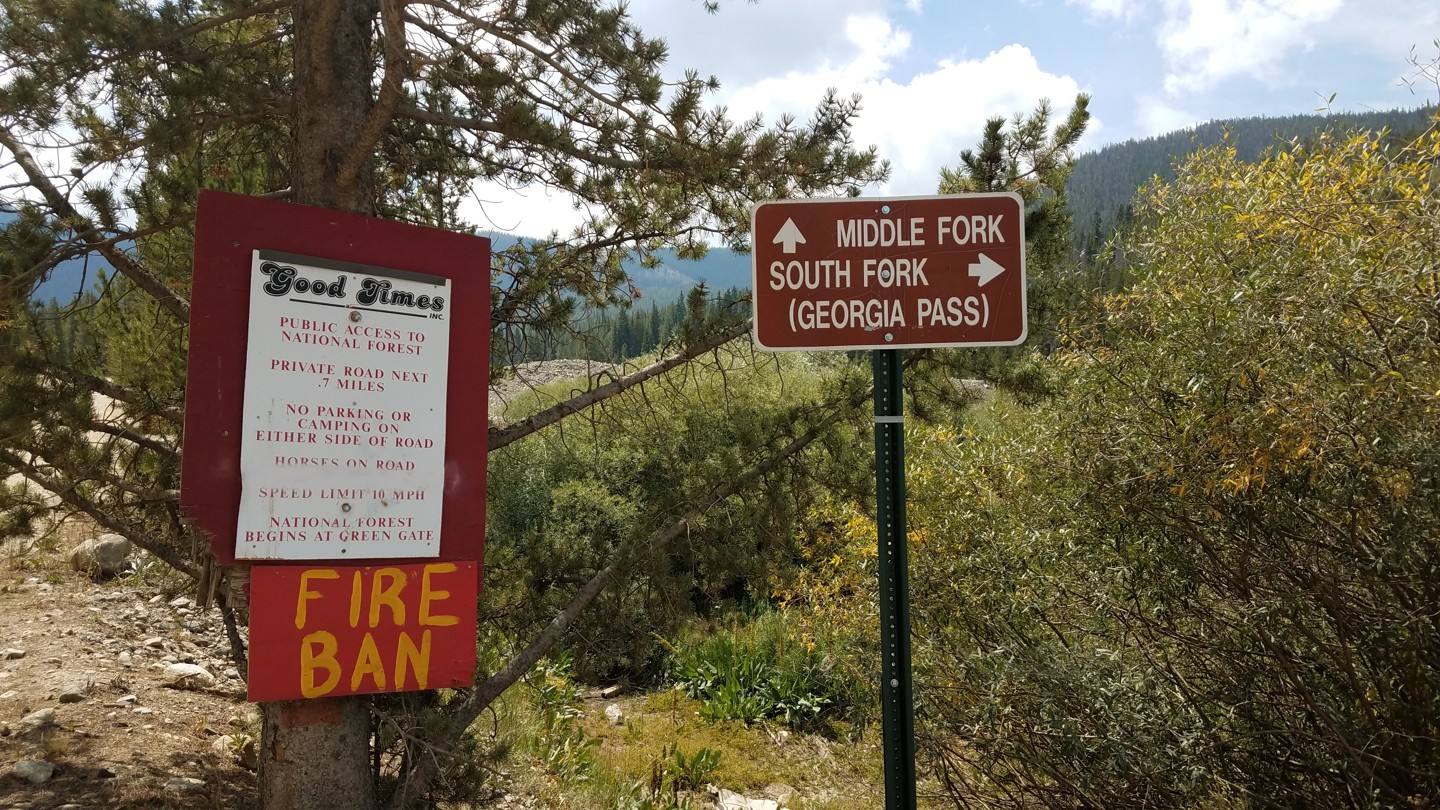
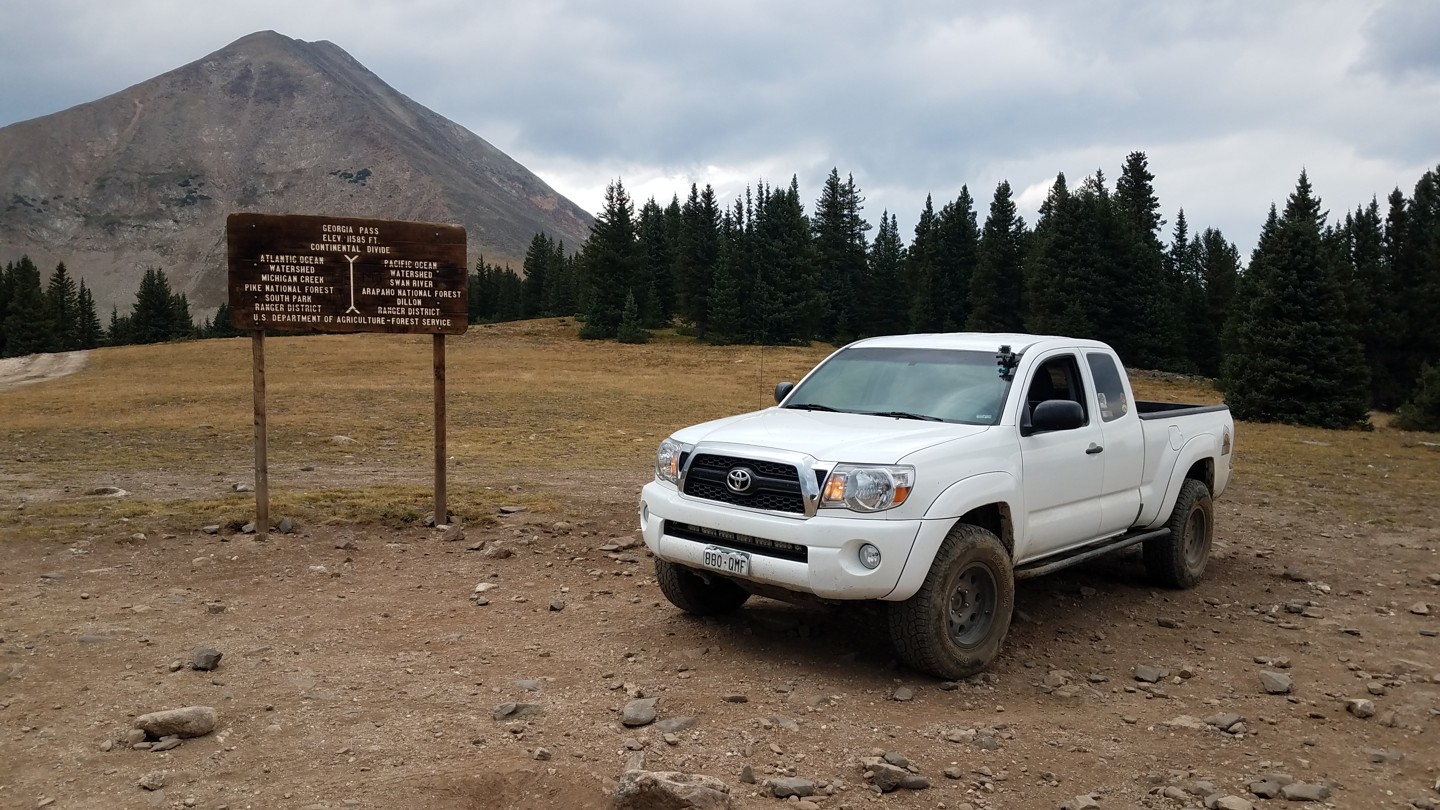
Georgia Pass

Trail Information
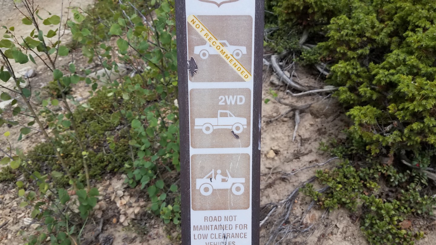
Difficulty - Mandatory
3 -
MODERATE
Difficulty - Optional
3 -
MODERATE
Status
Seasonal Closure
Distance
11.34 mi
Duration (one-way)
About 2 hours, 30 minutes
Highest Elevation
11550 ft
Shape of Trail
Straight Through
Typically Open
05/20 - 11/23
Best Direction
South
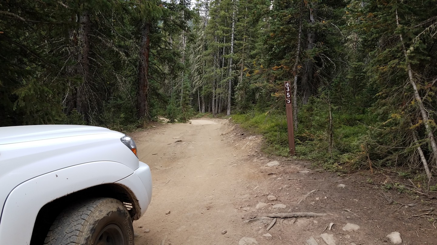
Official Road Name
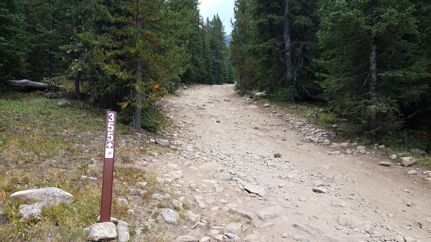
FS 355, CR 54
Nearest Town
Breckenridge
Nearest Services
Breckenridge
Management Agency
White River National Forest
District
Dillon Ranger District
Highlights
 Altitude
 Camping
 Forest
 Iconic
 Rock
Rock Scenic
 Snow Wheeling
Georgia Pass is the middle and least trafficked of the three main passes over the Continental Divide in Summit County. To the east, Webster Pass is more popular with the 4WD crowd due to the well known and technical 4WD offroad trails it connects. To the west, Boreas Pass is easy and often clogged with tourists in minivans.
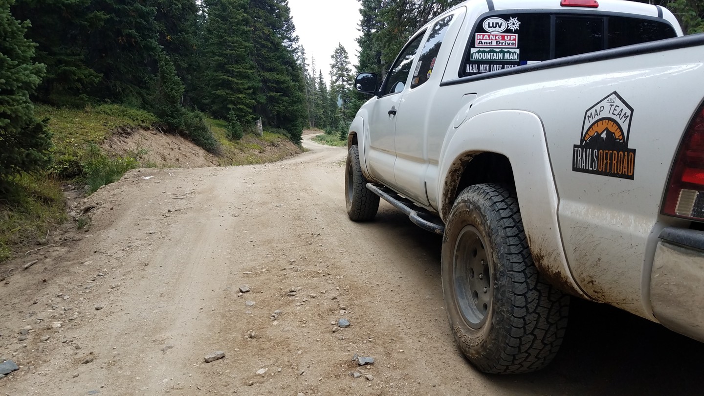
The southern slope is an easy dirt road. The north, however, is where all the fun awaits!
The trail summits in the saddle between Mount Guyot and Glacier Ridge with spectacular views of both the rugged Swan River Valley and the grassy plains of South Park. The Glacier Ridge 4WD trail meets this trail at the summit, connecting to the notorious rock garden, SOB Hill (a.k.a. Number 10 Road).
On a historical note, Georgia Pass once served as the primary route into the Swan and Blue river valleys for gold-hungry miners. At the height of the rush, as many as 200 prospectors a day flooded over the pass, then called Swan River Pass, into the boom towns of Parkville, Swandyke, and Tiger. No trace remains of these once vibrant towns except for a few ruins in Swandyke. (Parkville was buried by river dredges in the 1880s. Tiger was intentionally burned to the ground by the Forest Service in the 1970s to "rid the area of squatters.") By the 1880s, Boreas and Hoosier passes had become easier and more civilized routes and Georgia was all but abandoned.
Trail Difficulty and Assessment
Recommended Vehicle:
Stock SUV with High Clearance and 4 Low
Concerns:
Summary:
The south side of the pass is an easy dirt road passable in 2WD. If you only travel the south side, the trail is rated 1.
The north side is a genuine 4WD trail. It's not overly difficult and can be done in a stock truck with good ground clearance and an experienced driver.
Community Consensus
0 votes
20 votes
1 votes
Easier
Spot On
Harder
The weighted average of your fellow members agreement of our trail rating. As trail conditions change this helps us keep the community aware of changes.
Mandatory
3 -
MODERATE
The hardest part of the trail that you
cannot bypass - you have to drive it.
Optional
3 -
MODERATE
The hardest part of the trail that is
purely optional - you can bypass it.
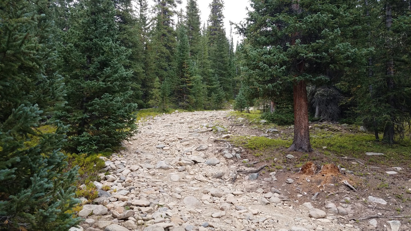
Typically, more rock or undulated road surface. Potential rocks and/or tree stumps less than 12" tall and/or vertical ledges less than 12" tall and/or near vertical ledges or waterfalls less than 24" inches. Tire placement becomes more difficult. Can be steep. Read More about our Rating System
Start your next adventure on Georgia Pass

Upgrade your Membership
Unlock all of the details on every Trail Guide and Scout Route.
Start a 7-day Free TrialUploading to Gaia GPS
Share Trail
Trail Navigation
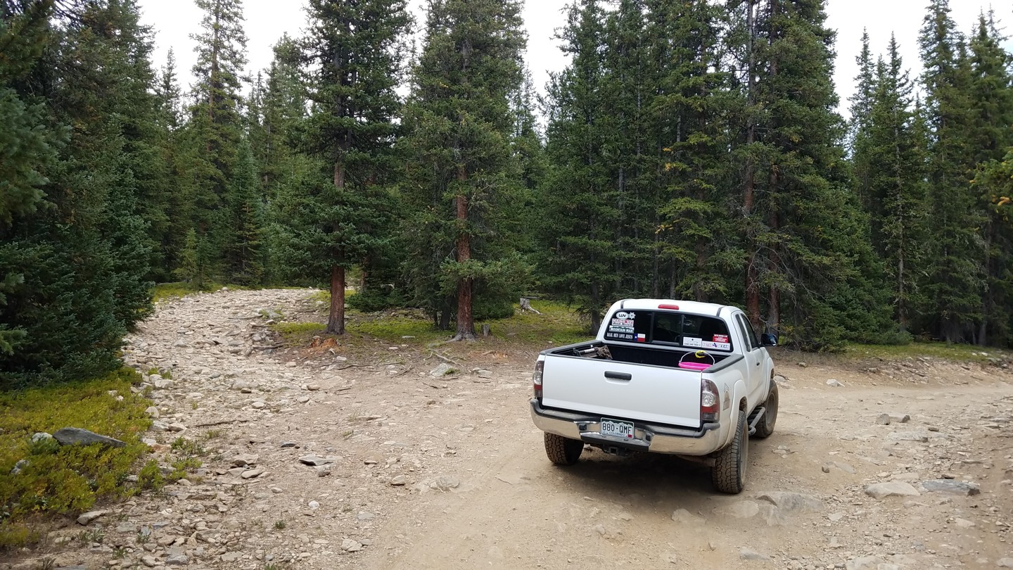
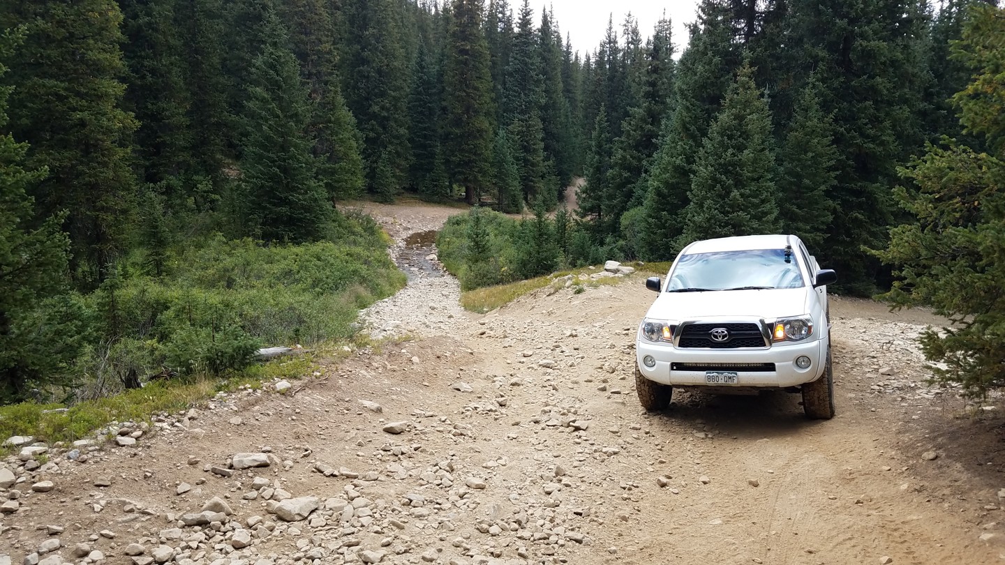
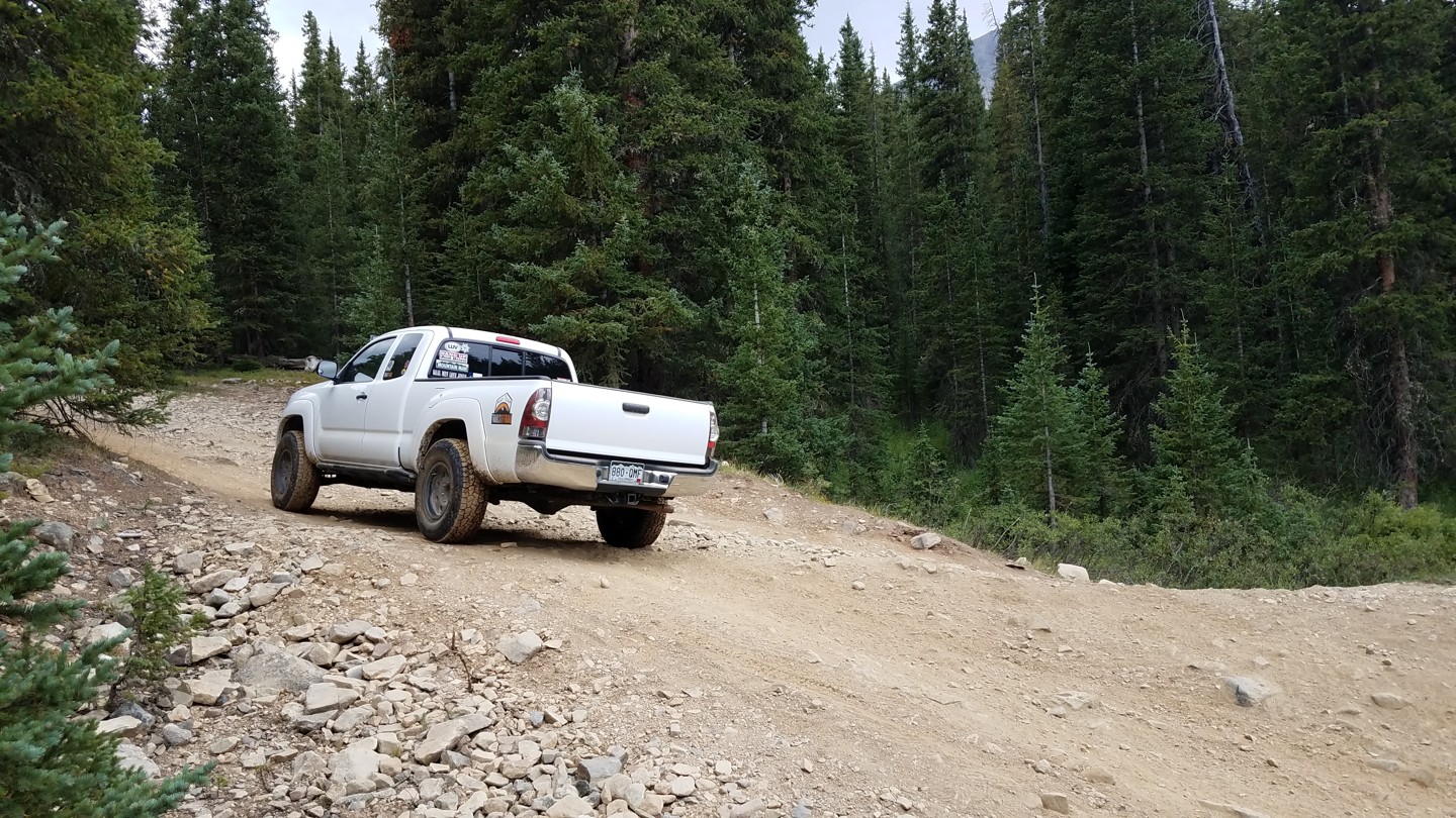
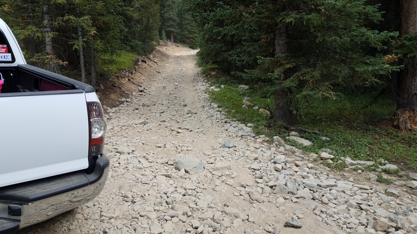
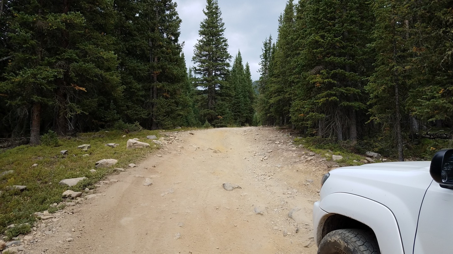
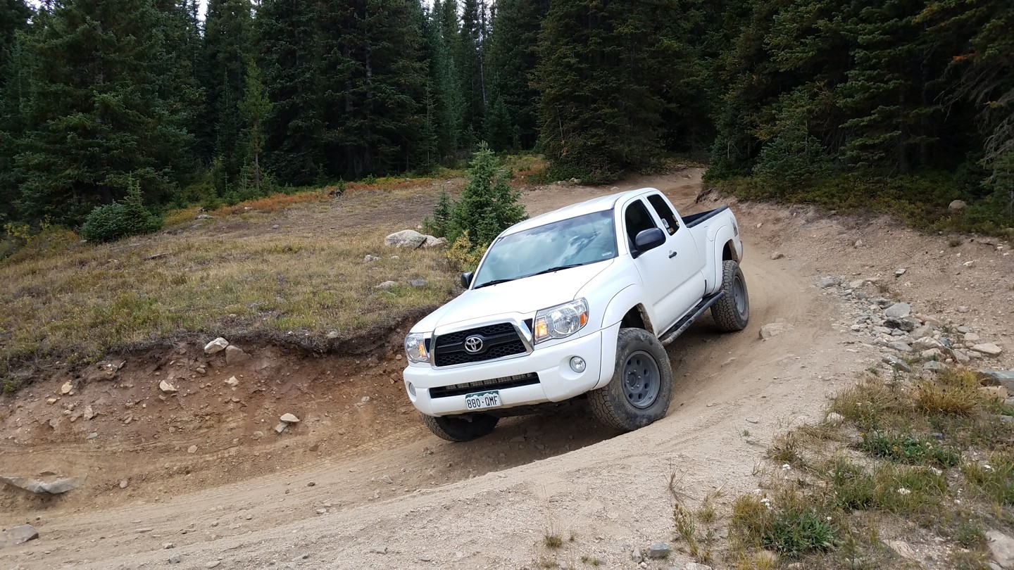
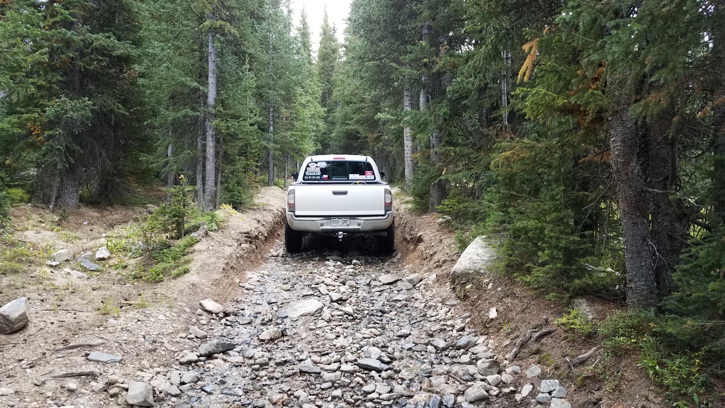
The northern slope of Georgia Pass begins as a relatively tame dirt road. Gradually, it becomes more rough, rocky, and narrow. The last mile before the summit is the hardest section with some tight rocky areas and some rutted, washed out dirt.
The southern slope is all wide open dirt roads. Because of this, and because the summit is part of the Colorado Trail, it is sometimes crowded with sight-seers, hikers and their cars. Since the north slope is more interesting, it is usually run from north to south.
Cell phone signals are spotty at best throughout the trail.
The nearest emergency room is at St. Anthony Summit Medical Center (970-668-3300), located just off CO-9 south of Frisco. Summit County Sheriff office (970-453-2232) is on CO-9 in Breckenridge.
The summit area is often crowded with sight-seers and hikers. Take your time and keep your eyes peeled.
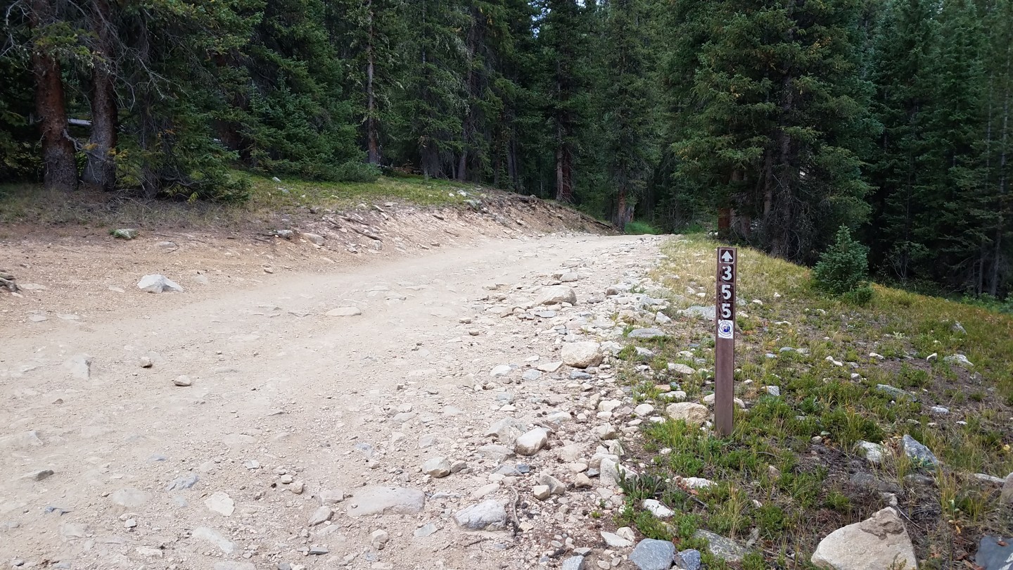
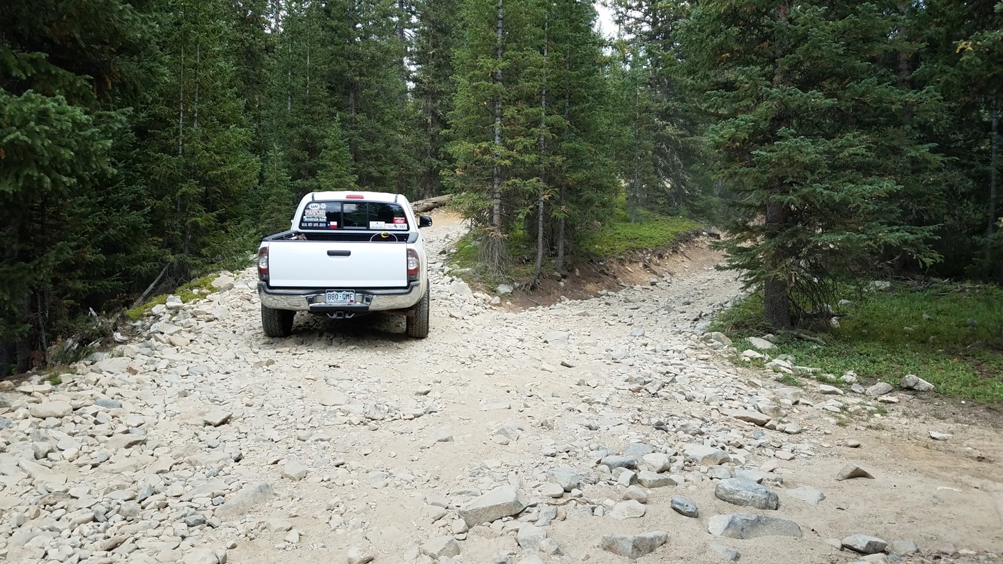
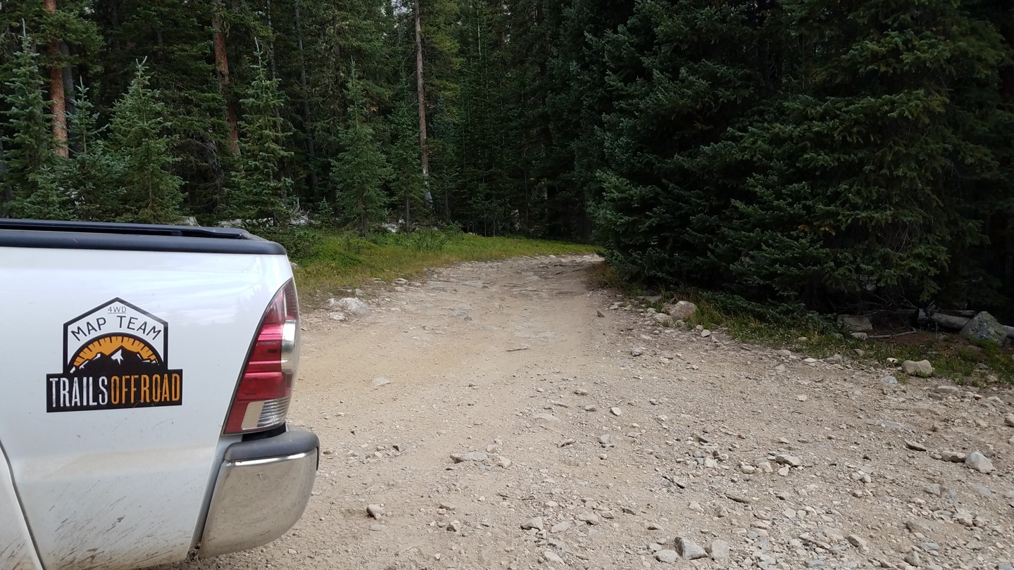
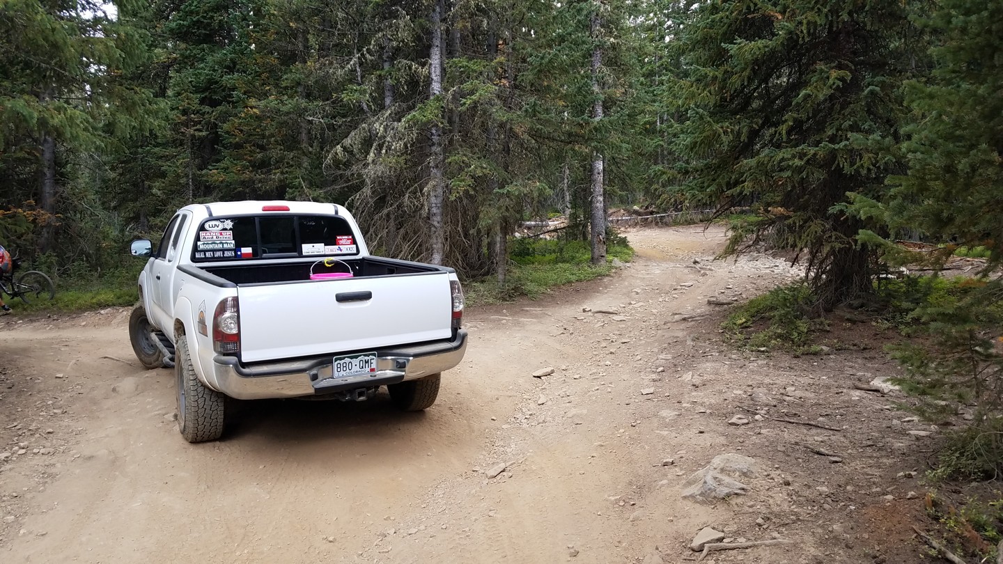
1. North Trailhead (0 mi)
Adjacent to Snow Caps, a sled dog company, FS 355 leaves FS 6 at a right turn (west). Cross the dredge tailings and turn left (south). For a good while, the road is wide and well maintained.
This area is a mix of private land and Summit County Open Space. No camping is allowed.
2. American Gulch/GH93 (0.8 mi)
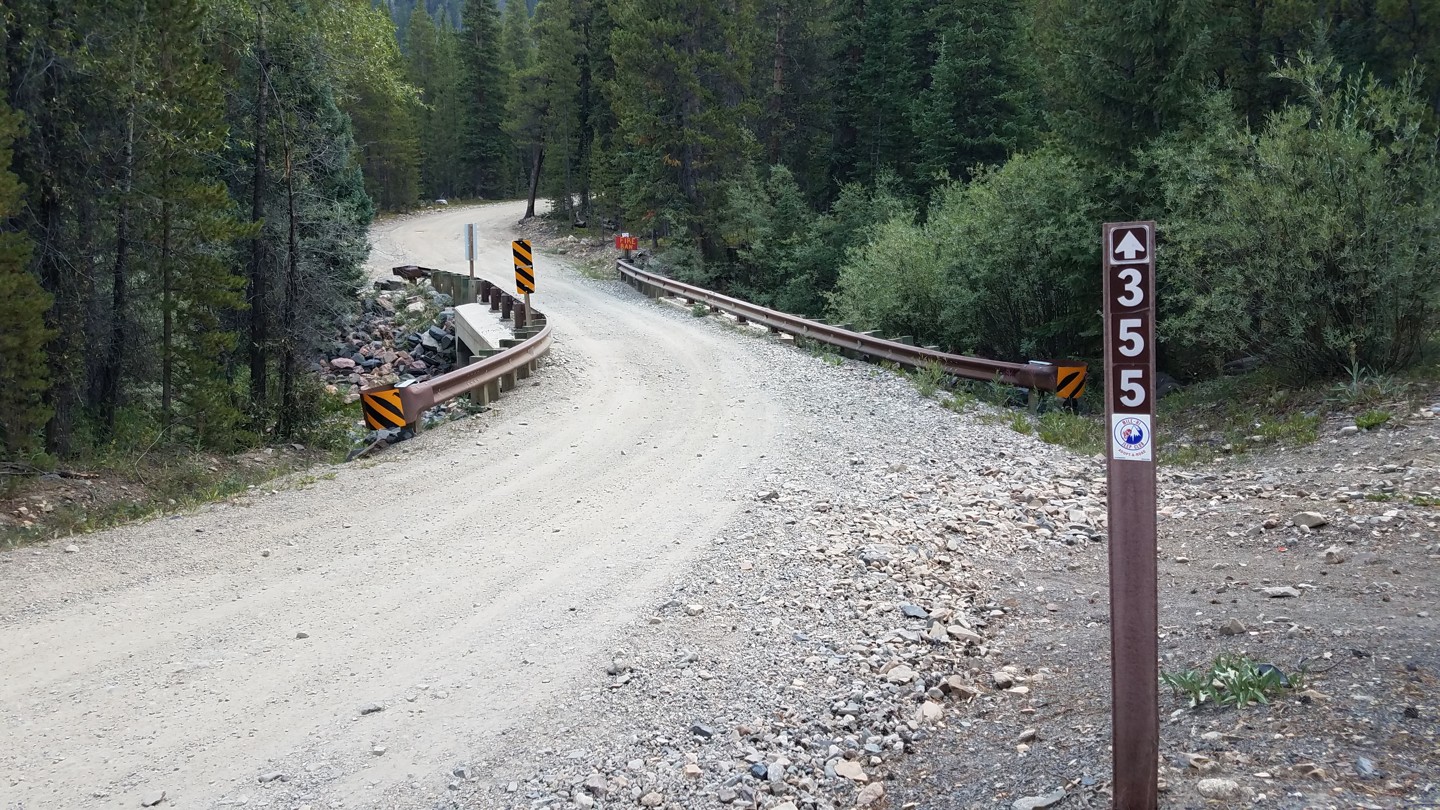
At a well marked fork, American Gulch/Humbug Hill, splits to the right (east). Go left, across a narrow bridge.
Immediately after the bridge, a narrow trail goes left. This is a nice camping area with a short cut to Middle Fork Swan via a water crossing.
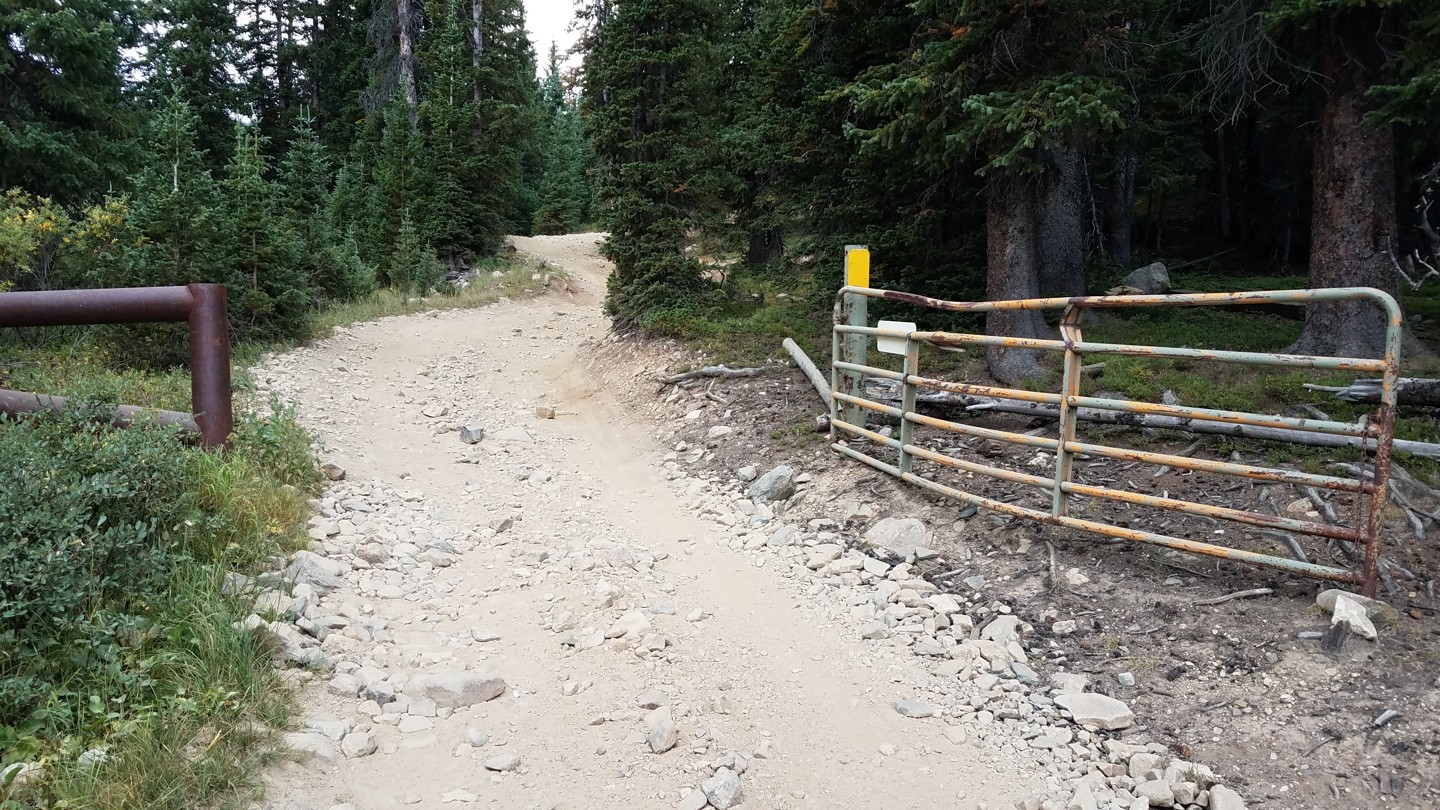
3. Seasonal Gate (1.1 mi)
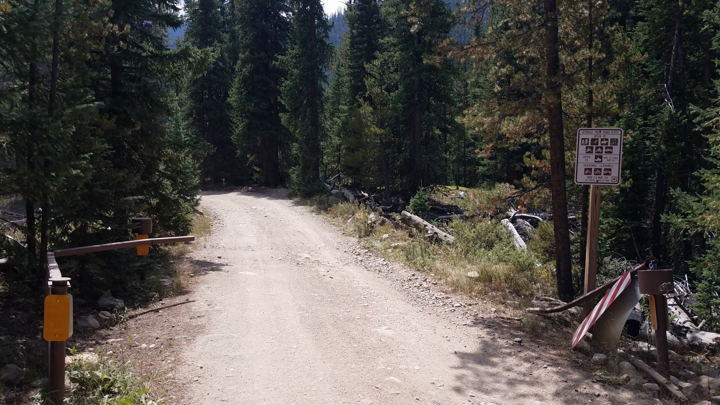
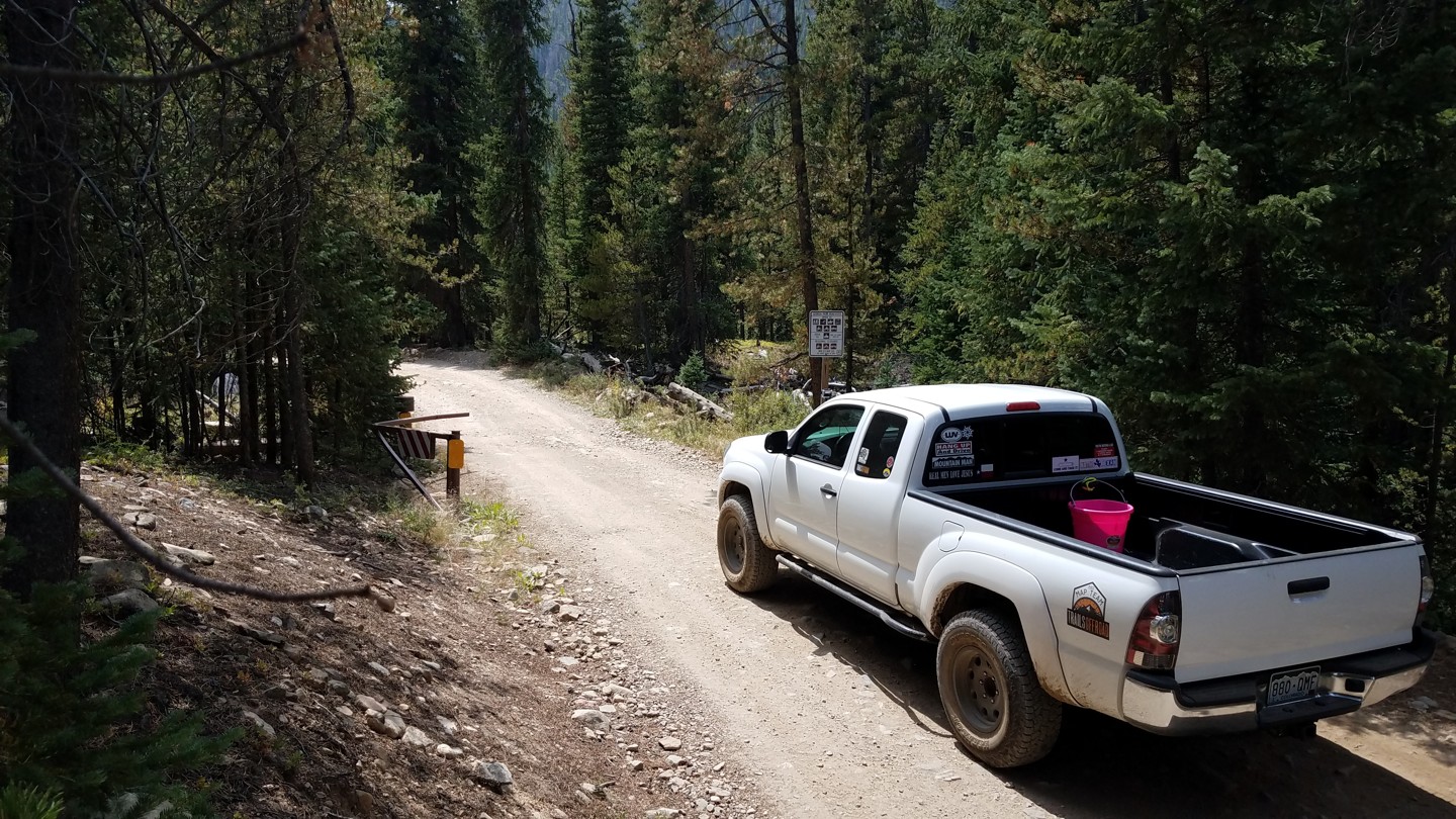
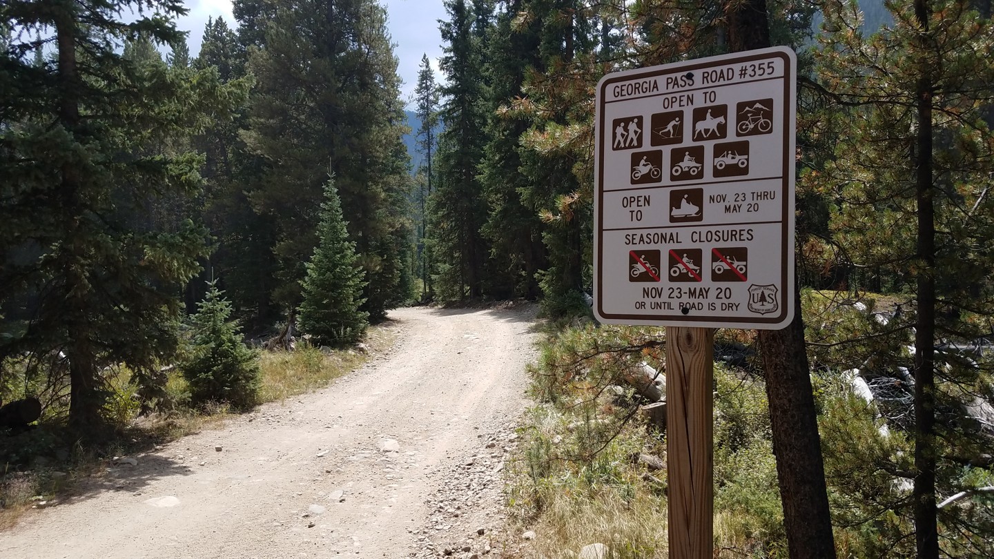
The gate is closed from November through May, "or until road is dry," which could be well into June if the previous winter was unusually snowy.
4. Camping Fork 1 of 3 (1.5 mi)
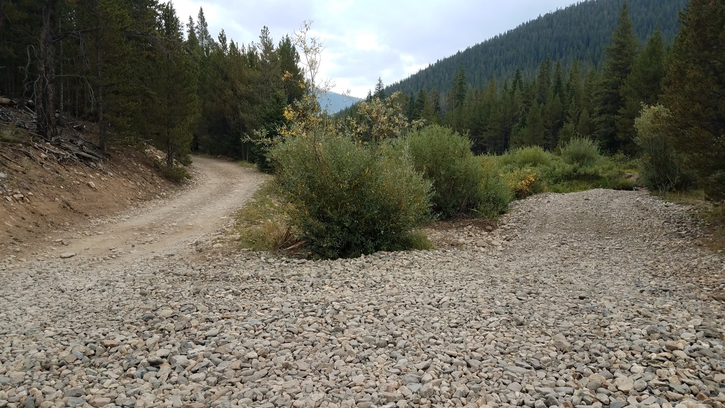
To the right, is the first of three access points to a road that runs parallel to this trail. The road has several campsites that range from large sites suitable for small campers to small, rough, sloped sites that may only invite hammocks.
It should be noted that this "camping road" had a couple of muddy, rocky spots that may damage low clearance trailers. Scout it out before you haul it.
A few yards beyond this fork are some cabin ruins.
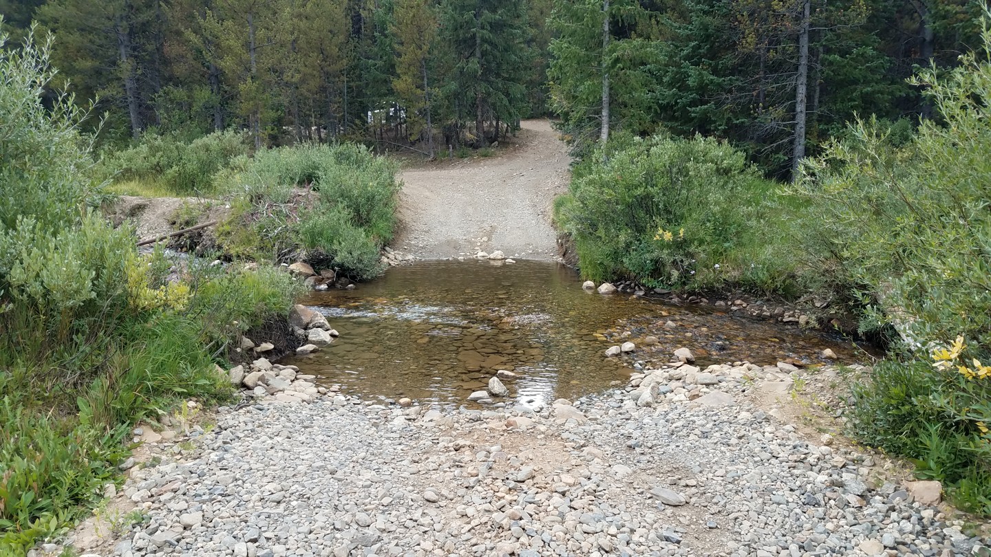
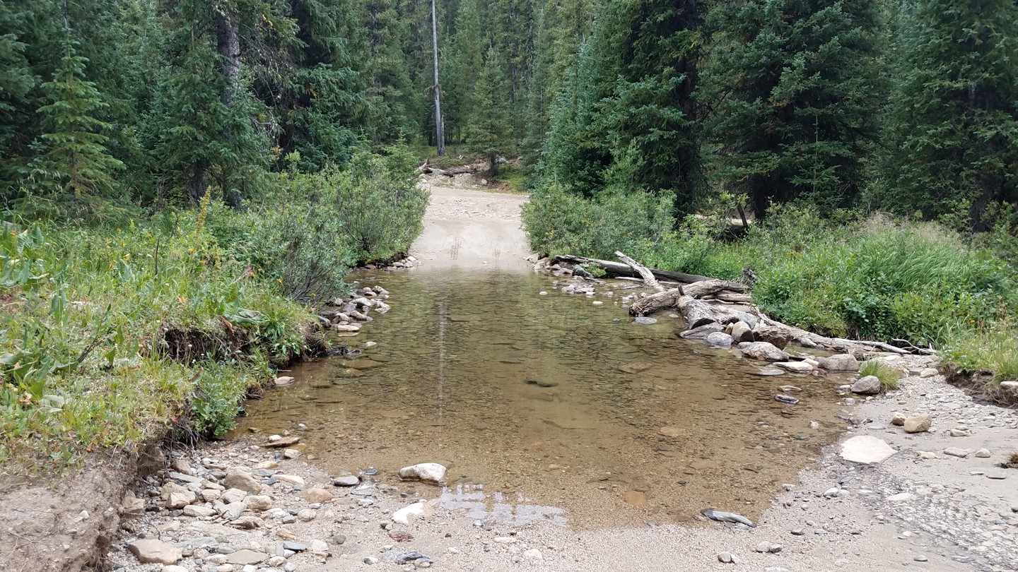
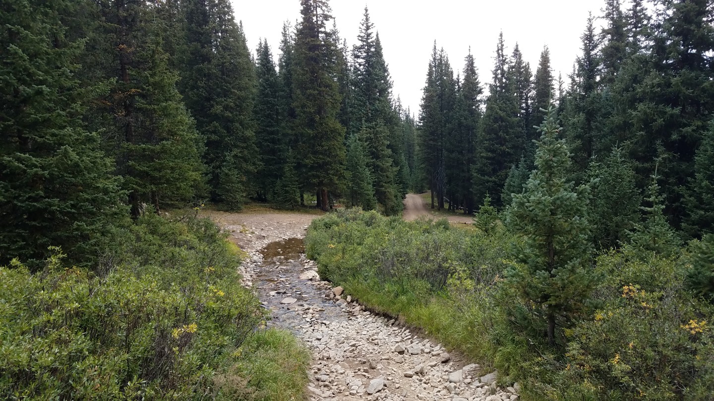
This section was once a long, shallow water crossing, but in 2017, the Forest Service filled it in with gravel. There is still a small water crossing if you take the right fork onto the camping road.
5. Former Home Site - NO CAMPING! (2.3 mi)
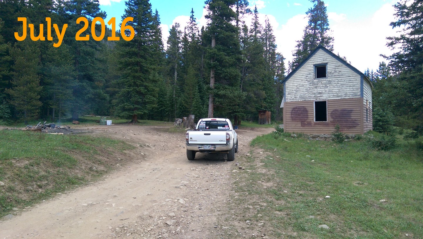
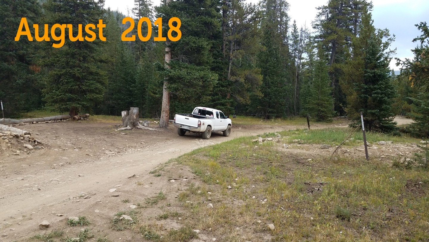
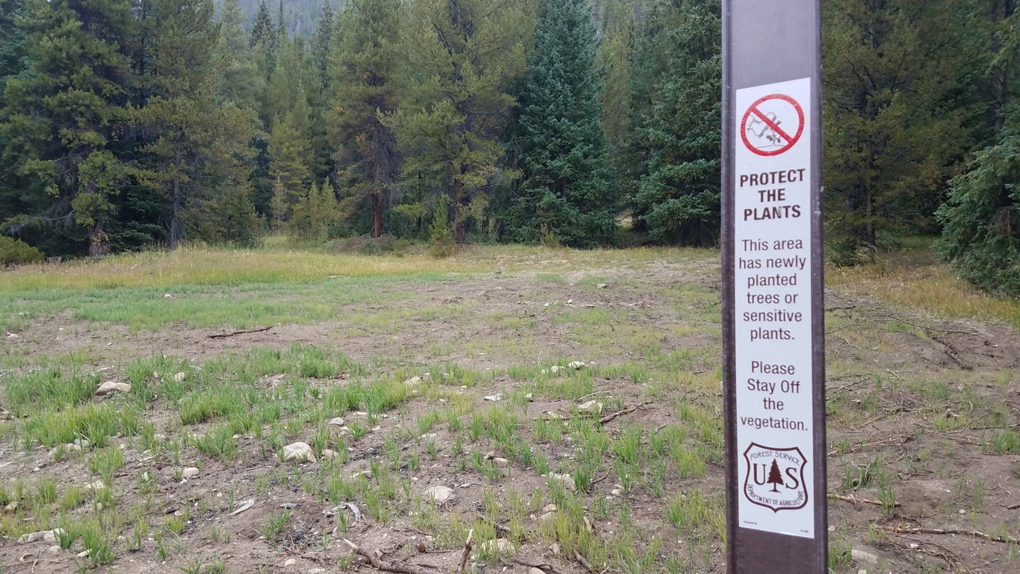
This site was once a popular campsite. There was also an old house that was popular with squatters. In 2017, the Forest Service razed both.
Please respect the signage keep your wheels and your feet off the new vegetation. NO CAMPING at this site!
6. Camping Fork 2 of 3 (2.8 mi)
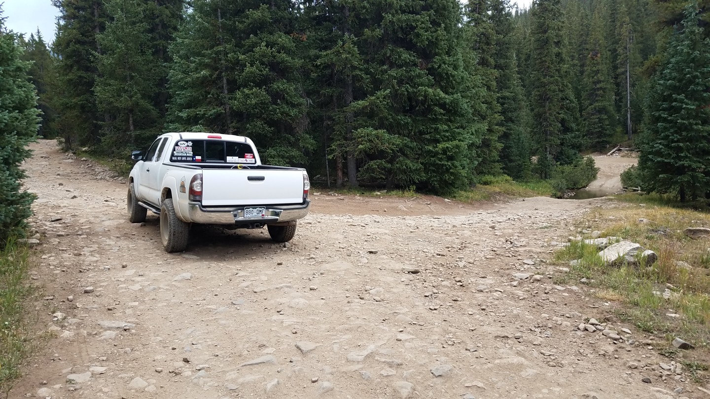
To the right, across a shallow water crossing, is the second of three access points to the camping road mentioned in Waypoint 4.
Continue straight on FS 355.
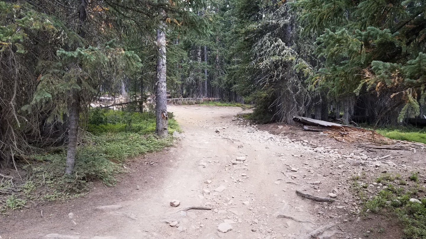
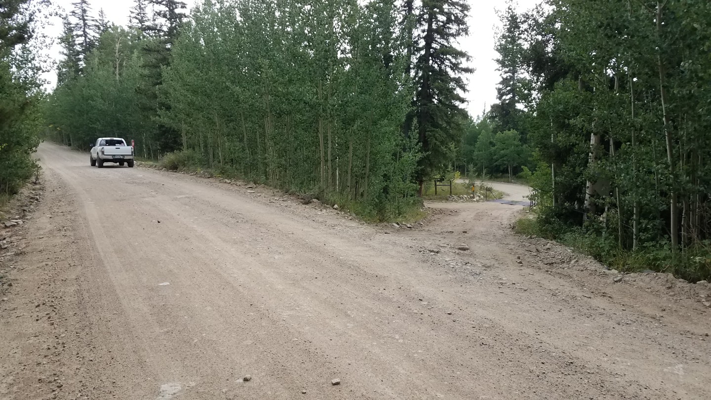
From here on, there are quite a few unmarked or poorly marked intersections. Most of these spurs either rejoin the trail later or dead end. Some offer nice campsites. As a general rule, stay on the more established trail.
7. Fork - Stay Right (3 mi)
Take the right fork to stay on FS 355. The left spur dead ends.
8. Camping Fork 3 of 3 (3 mi)
Here, a sharp right is the last of the three access points to the camping road mentioned in Waypoint 4.
9. Unmarked Fork - Stay Left (3.1 mi)
Take the left fork to stay on FS 355. The right fork dead ends at a large campsite.
10. Unmarked Fork - Stay Left (3.2 mi)
Continue straight. The trail to the right joins the previous fork which dead ends at a large campsite.
11. Gate (3.4 mi)
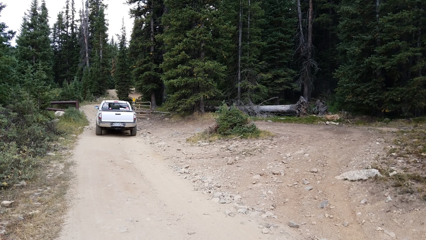
There is an established turn-around here in case the gate is locked. The next section of trail is very narrow with few opportunities to pass. If you have to back up to allow a downhill vehicle through, this is a good spot.
12. Fork - Stay Left (3.6 mi)
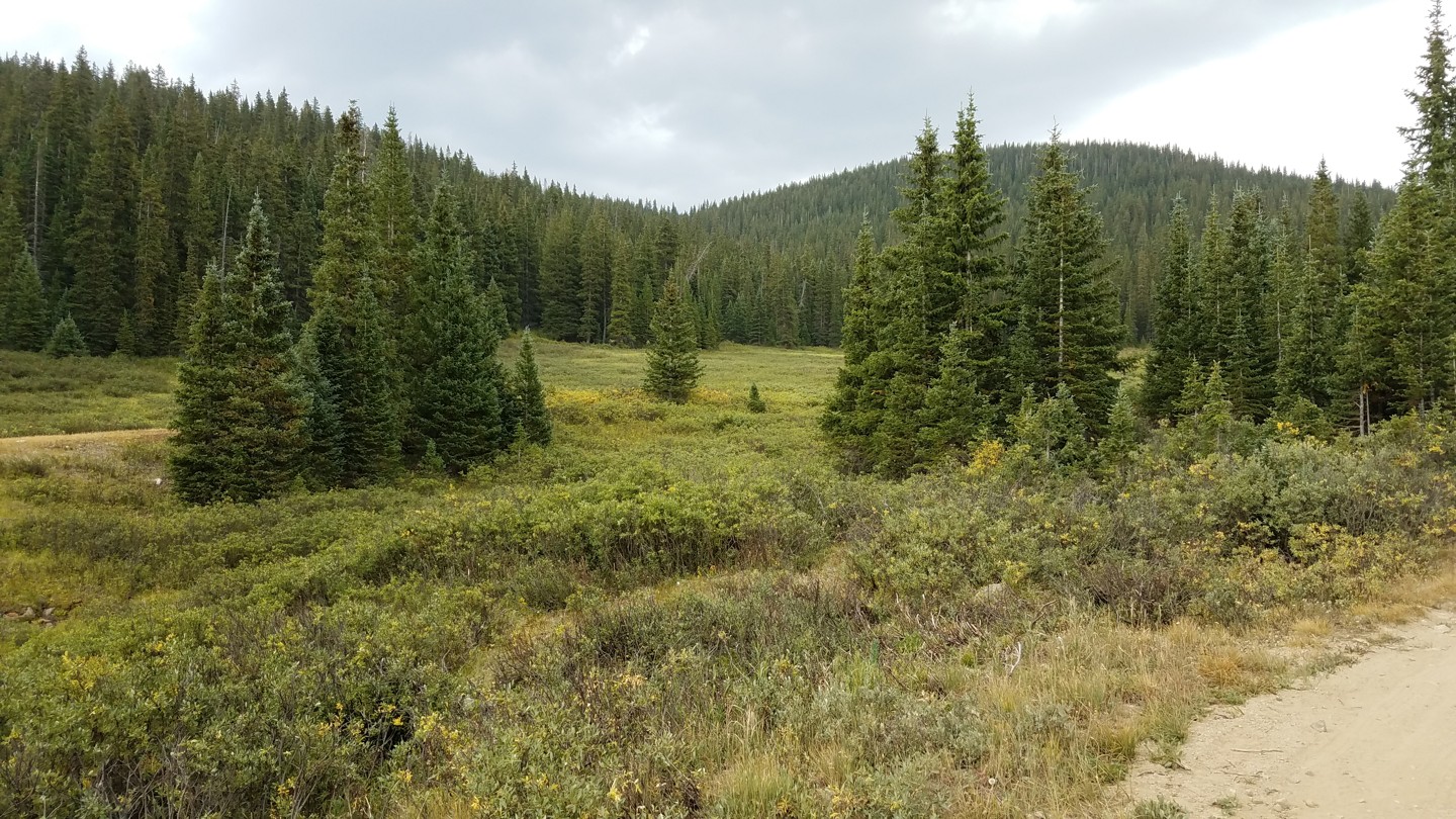
This hard left is easy to miss. Don't worry if you miss it. Going straight accesses a private gate, then leads back to the main trail.
13. Switchback/Meadow (3.7 mi)
There's a very narrow and off camber switchback leading down into this wide meadow. Some bone heads thought it would be fun to create a short cut here. Please don't be a bone head. STAY THE TRAIL!
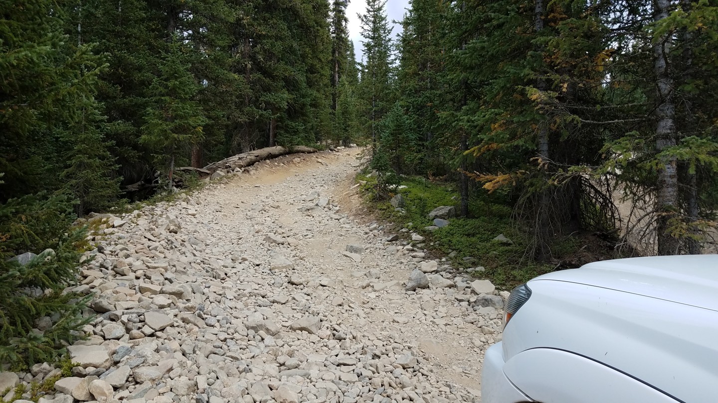
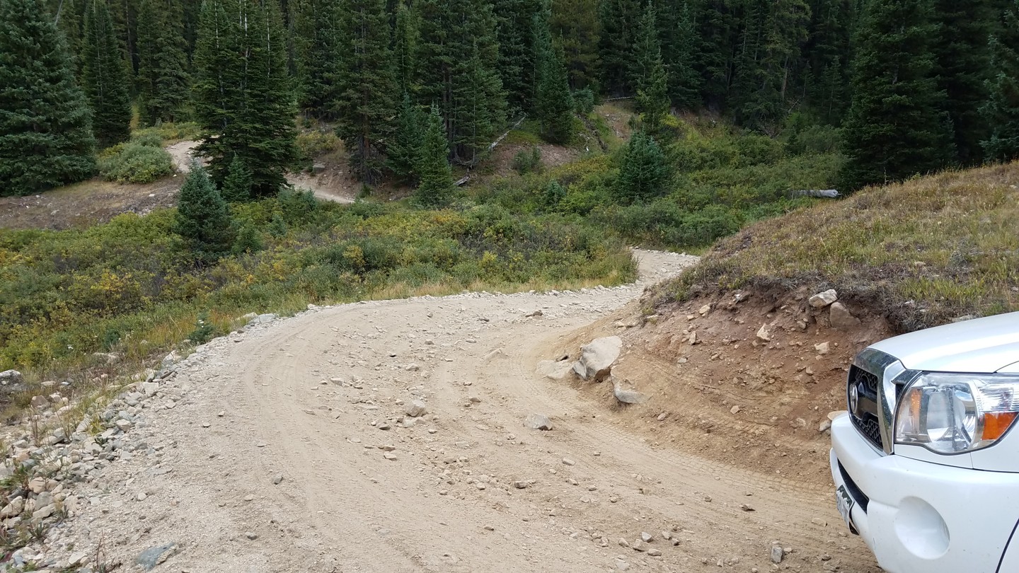
14. The Sluice Box (3.8 mi)
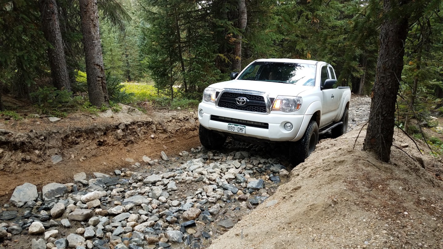
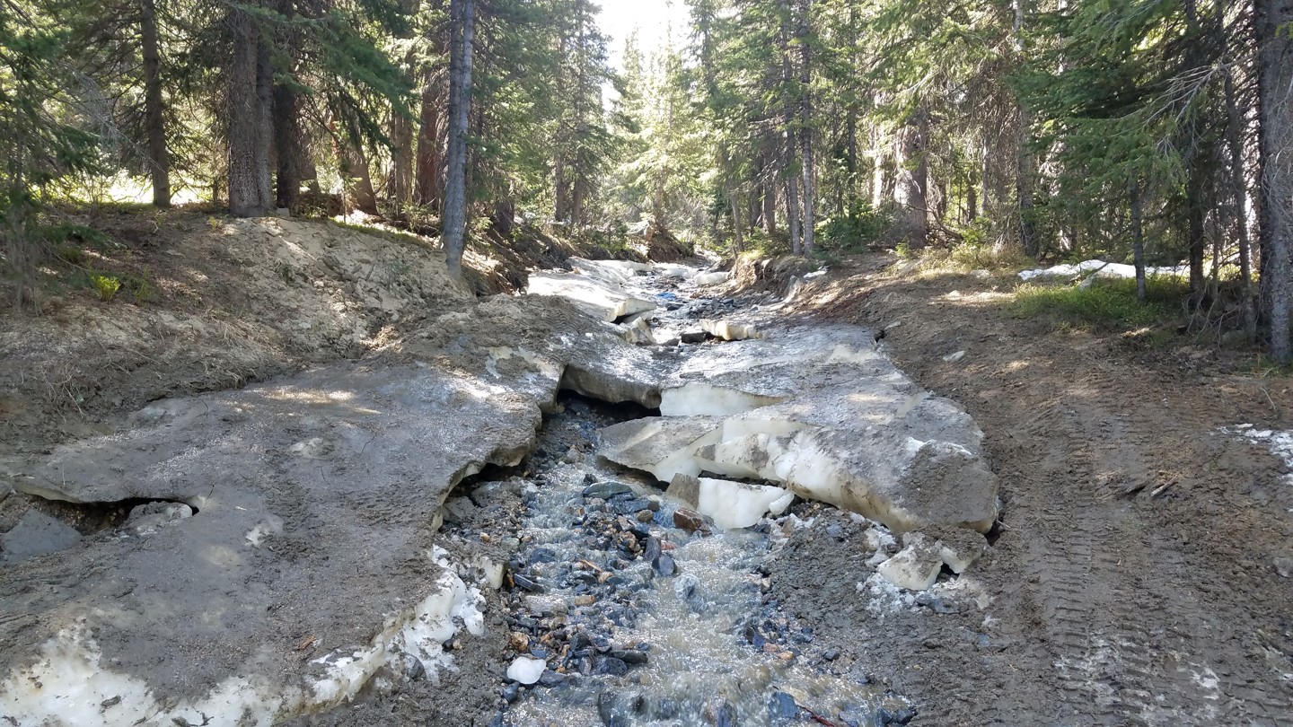
For a couple hundred hards, the trail becomes very narrow and rocky. Trees crowd both sides and spring water flows down this "sluice" year round.
Well into June (sometimes July!), this spring water, joined by snow runoff, freezes into a treacherous ice rink. (See third pic.) Skill and momentum can get you through (and lockers don't hurt). However, some folks chicken out and take a bypass to the right. PLEASE don't take this bypass in Spring or early Summer! It is muddy and easily damaged.
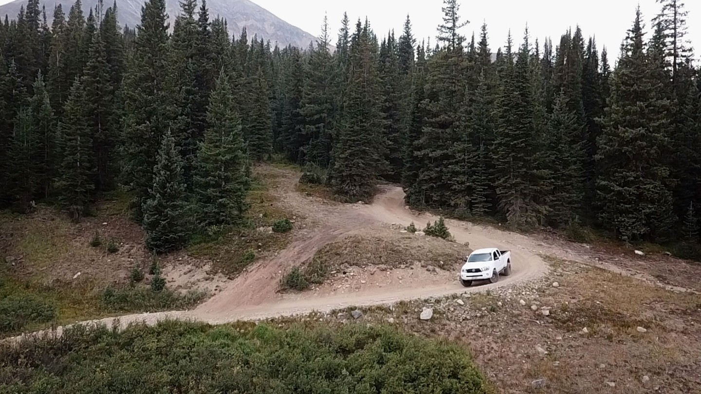
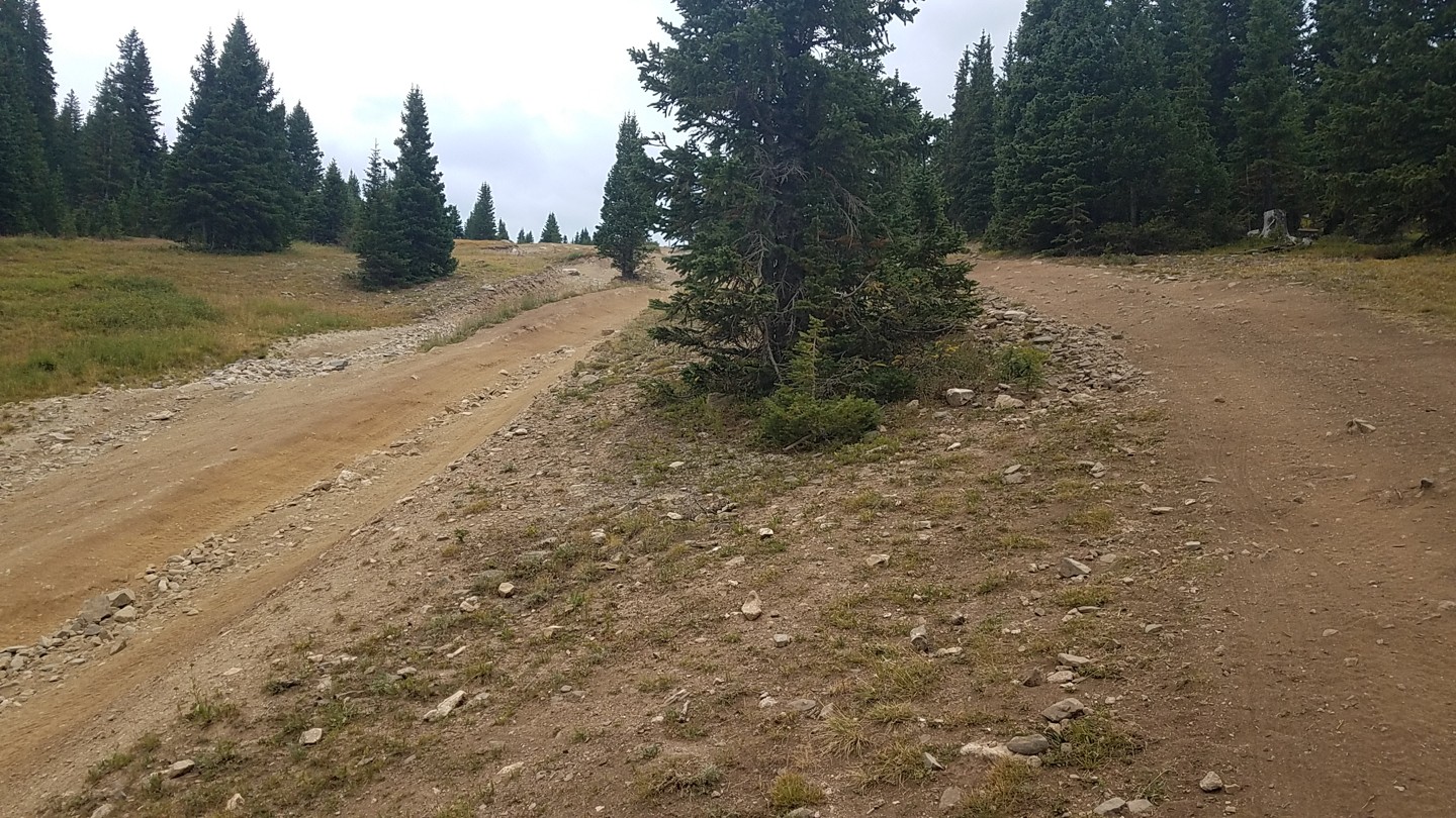
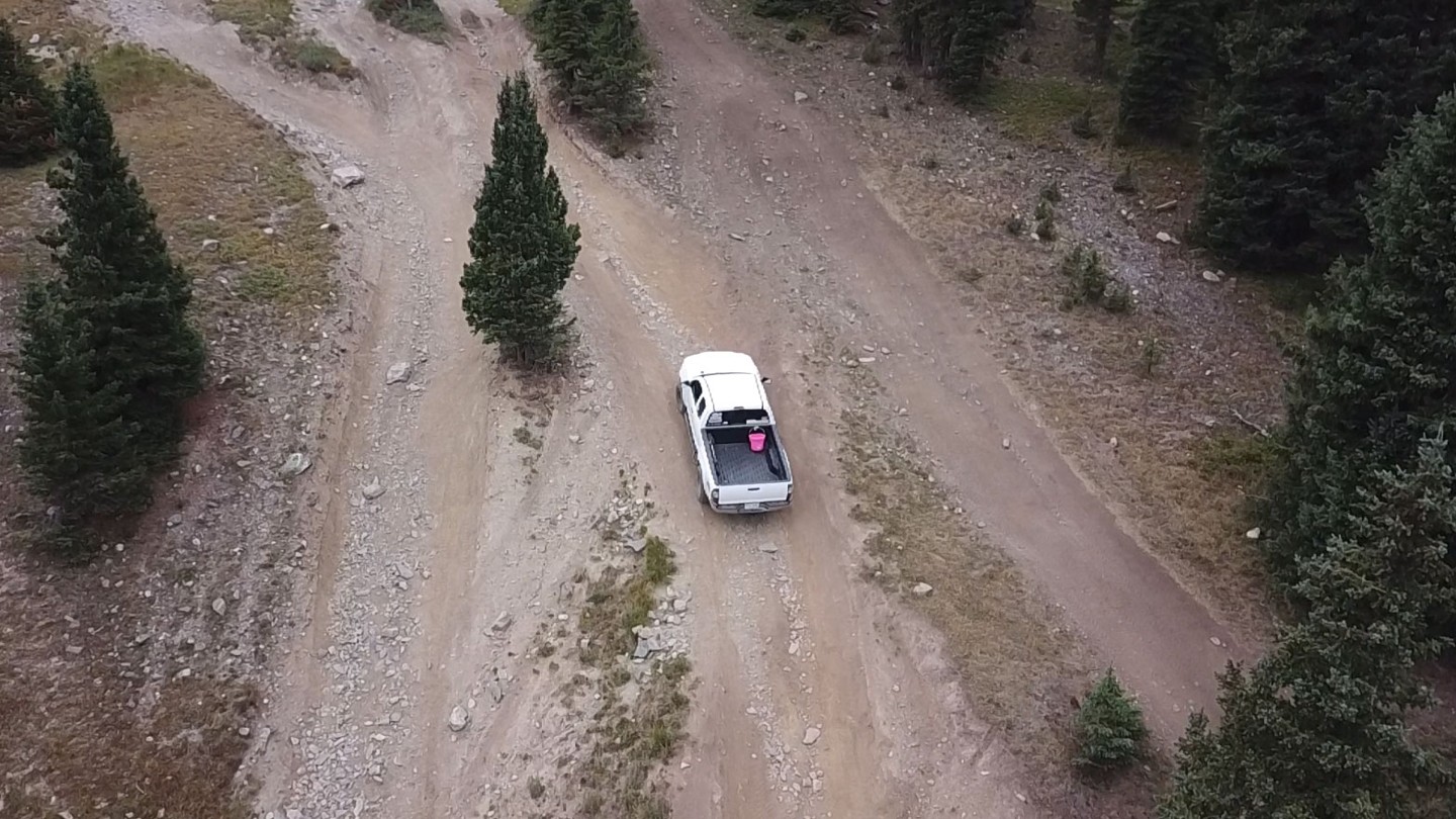
15. Trail Braiding (4.3 mi)
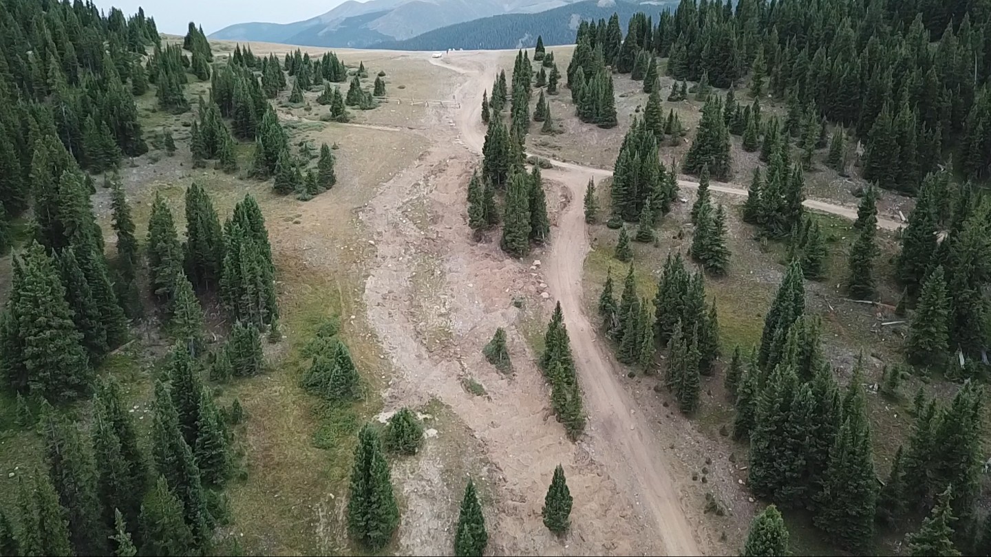
As the trees thin out, the trail gets considerably steeper with banked turns and washouts.
[UPDATE: As of the summer of 2020, the Forest Service has destroyed and blocked off the braided routes, leaving only the tamest way through, to the far right (heading uphill). See the 3rd pic here for the new look.]
Just before the summit, the trail is badly braided, with several variations through the washouts and ruts. It's impossible to say what is the "right way" through this, but still, please stay the trail! If the trail is too wet or snow covered or just too difficult, it's better to turn back than to destroy the tundra.
16. Summit (4.5 mi)
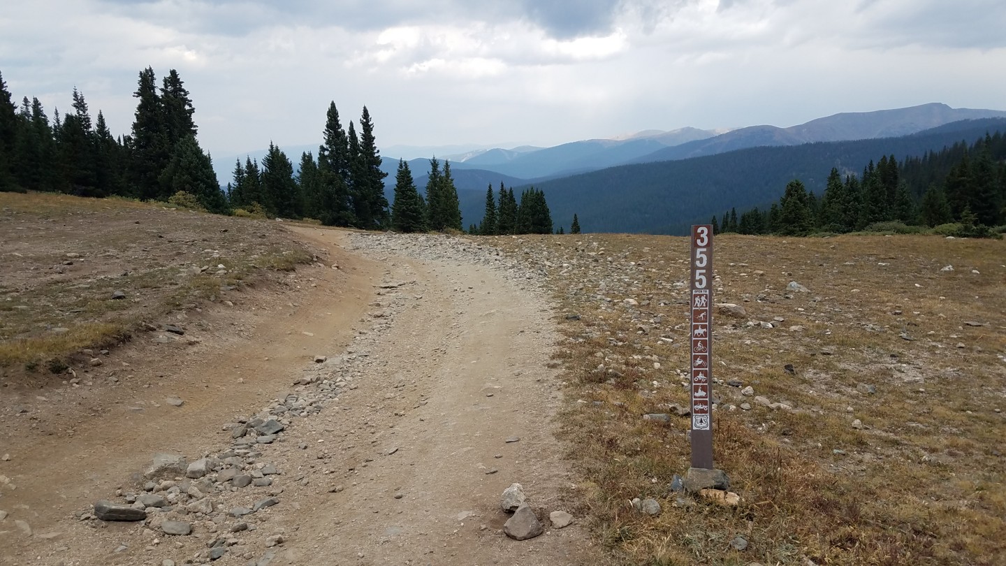
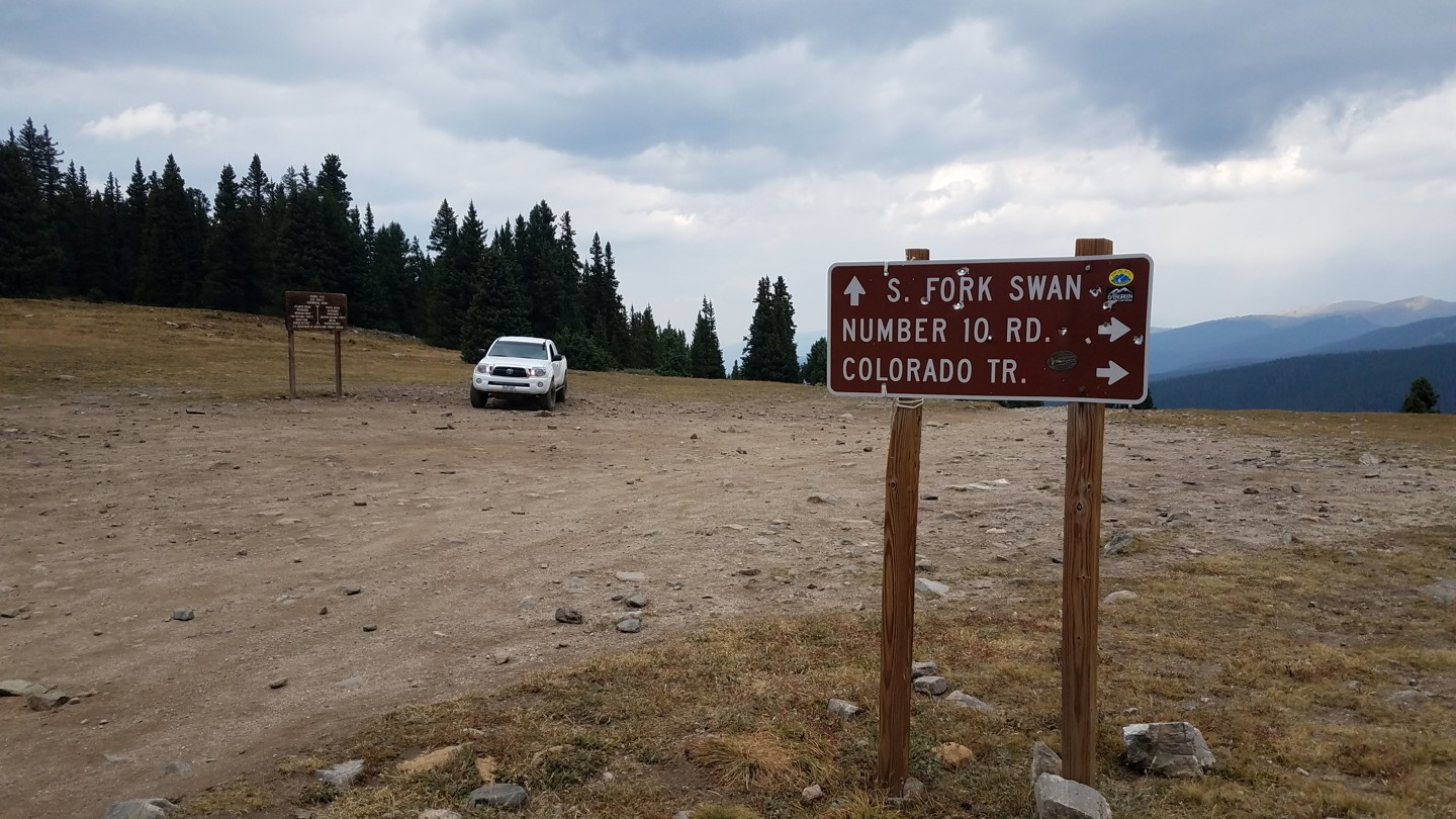
The summit is wide and flat. There will likely be a few cars parked here that came up the southern approach. Keep an eye out for hikers and cyclists.
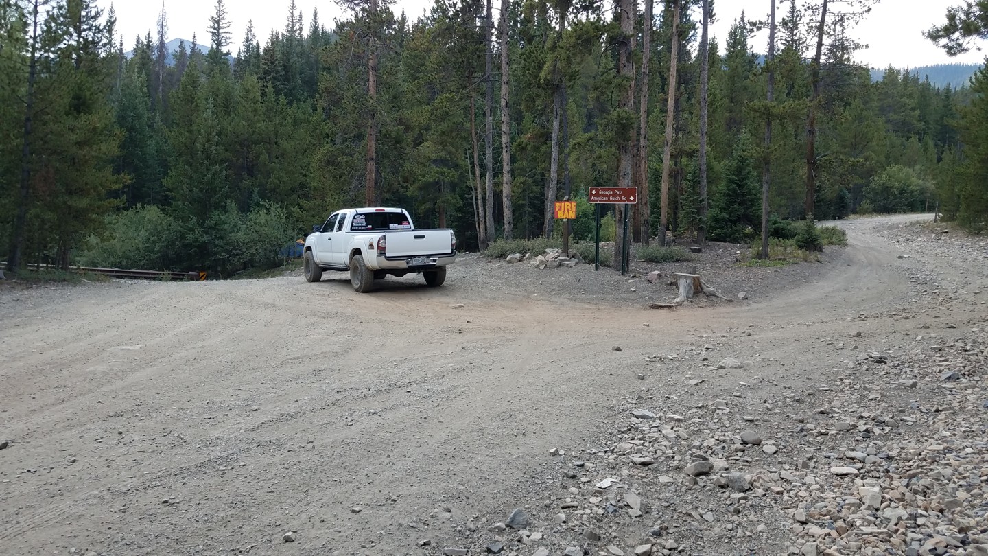
Several trails lead off from the summit. 355.1C and 355A are short spurs that dead end. 258 is the Glacier Ridge 4WD trail that leads to SOB Hill (a.k.a. Number 10 Road). This also connects to the Colorado Trail not far from the summit.
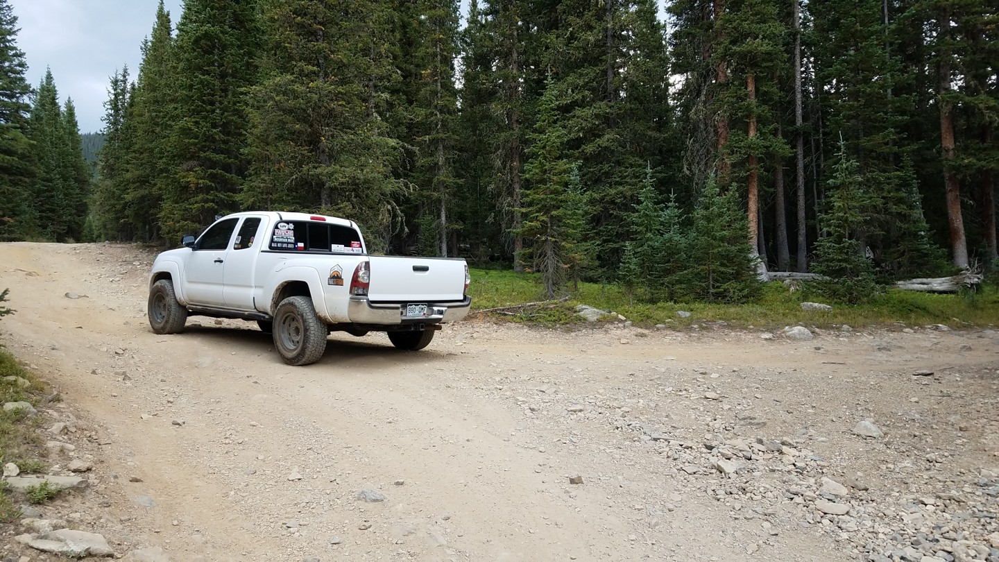
The south side of the pass follows CR 54, a wide and relatively smooth road.
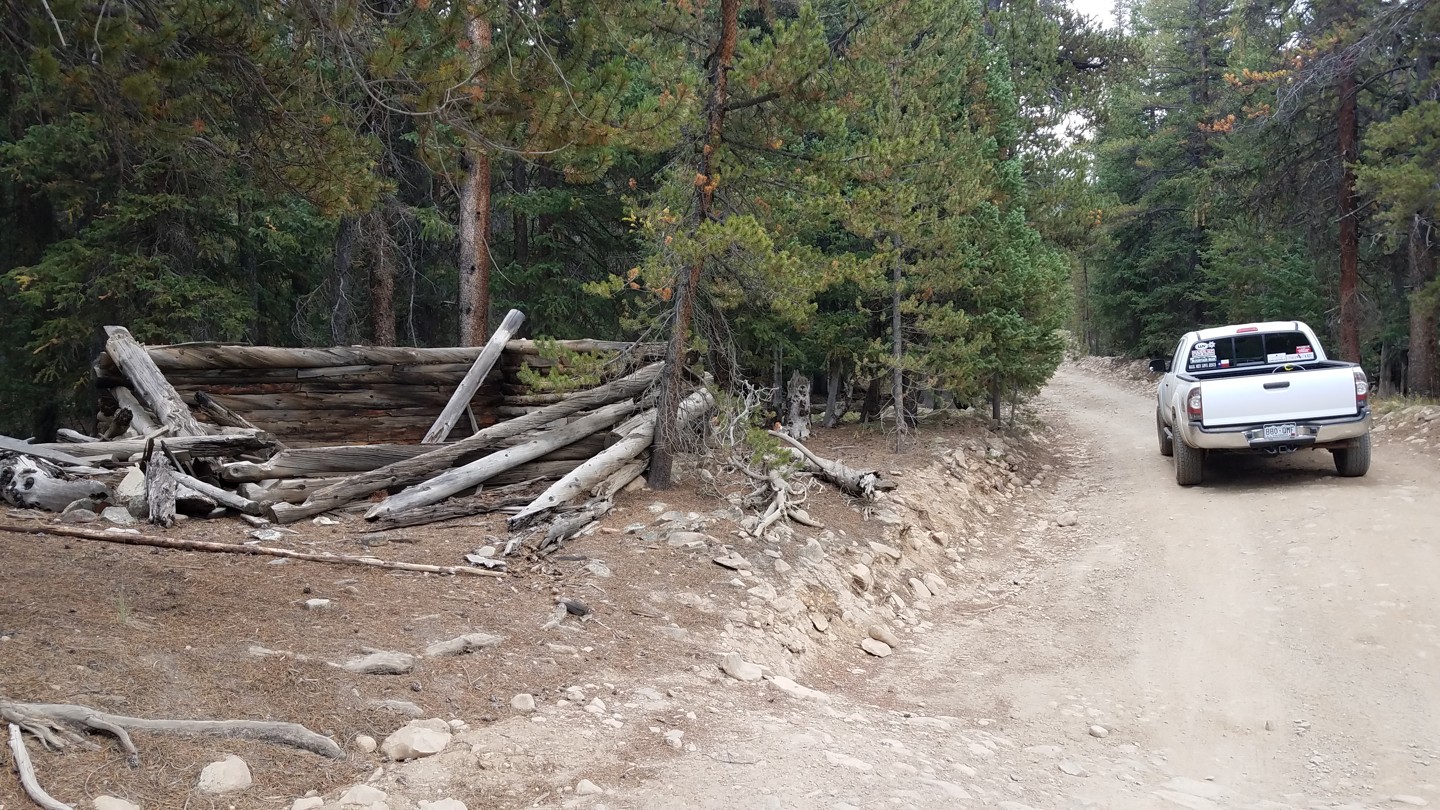
17. Collapsed Cabin (5.1 mi)
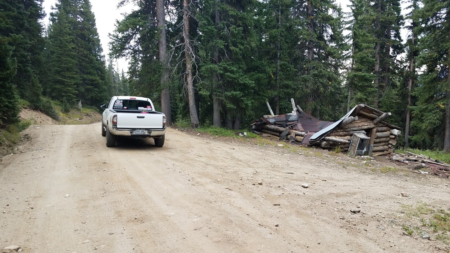
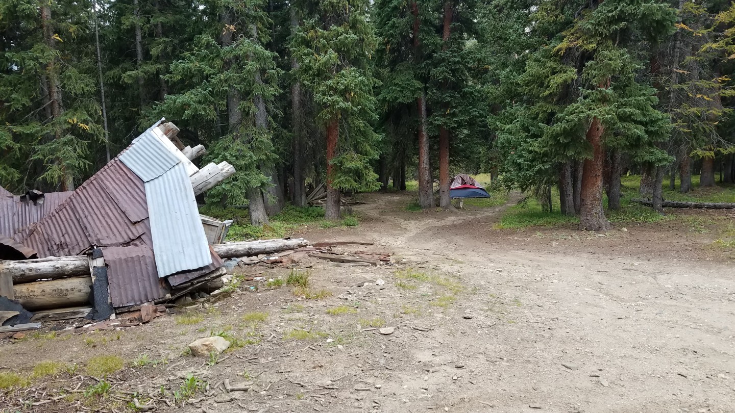
On the right is a large, collapsed cabin. Behind it is a nice campsite.
18. Large Camping/Parking Area (8.2 mi)
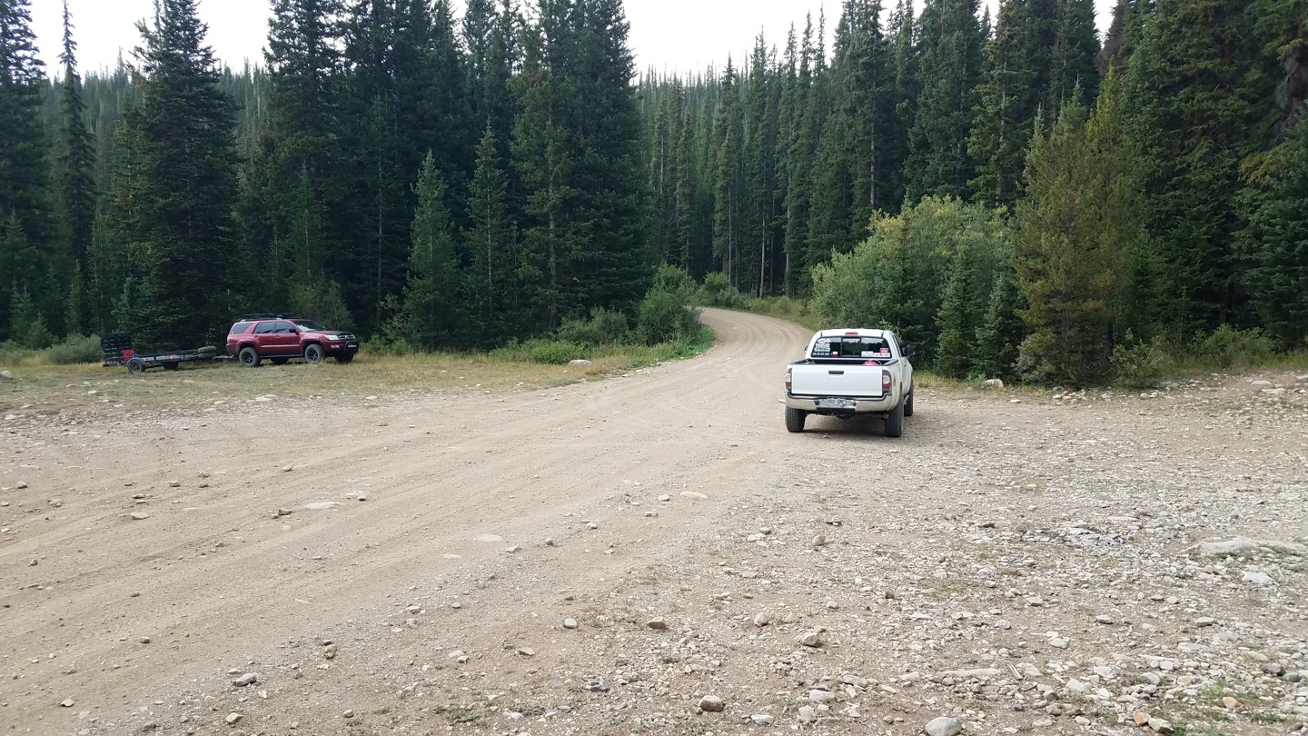
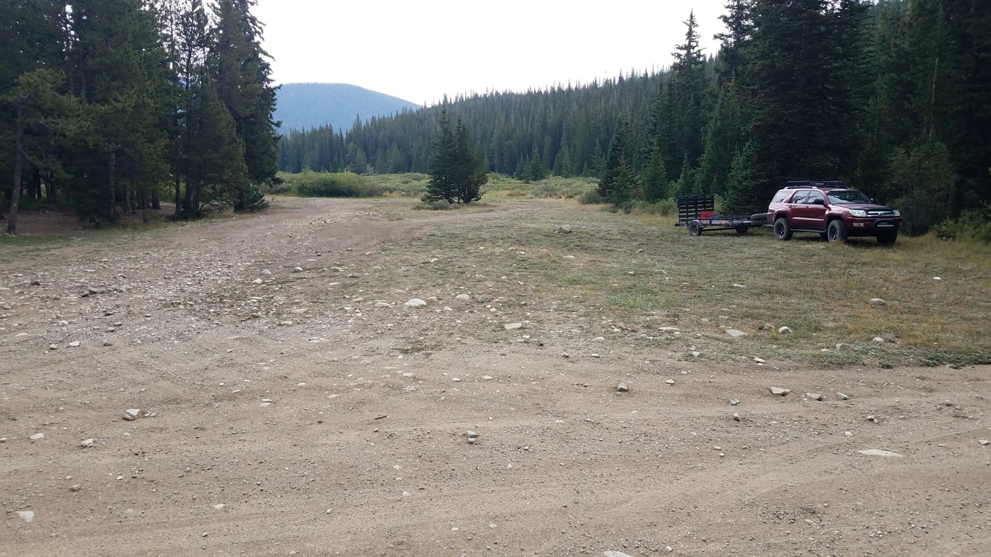
There are a couple of very large, flat parking areas here, often populated with larger RVs, overlanders, and empty ATV/UTV trailers.
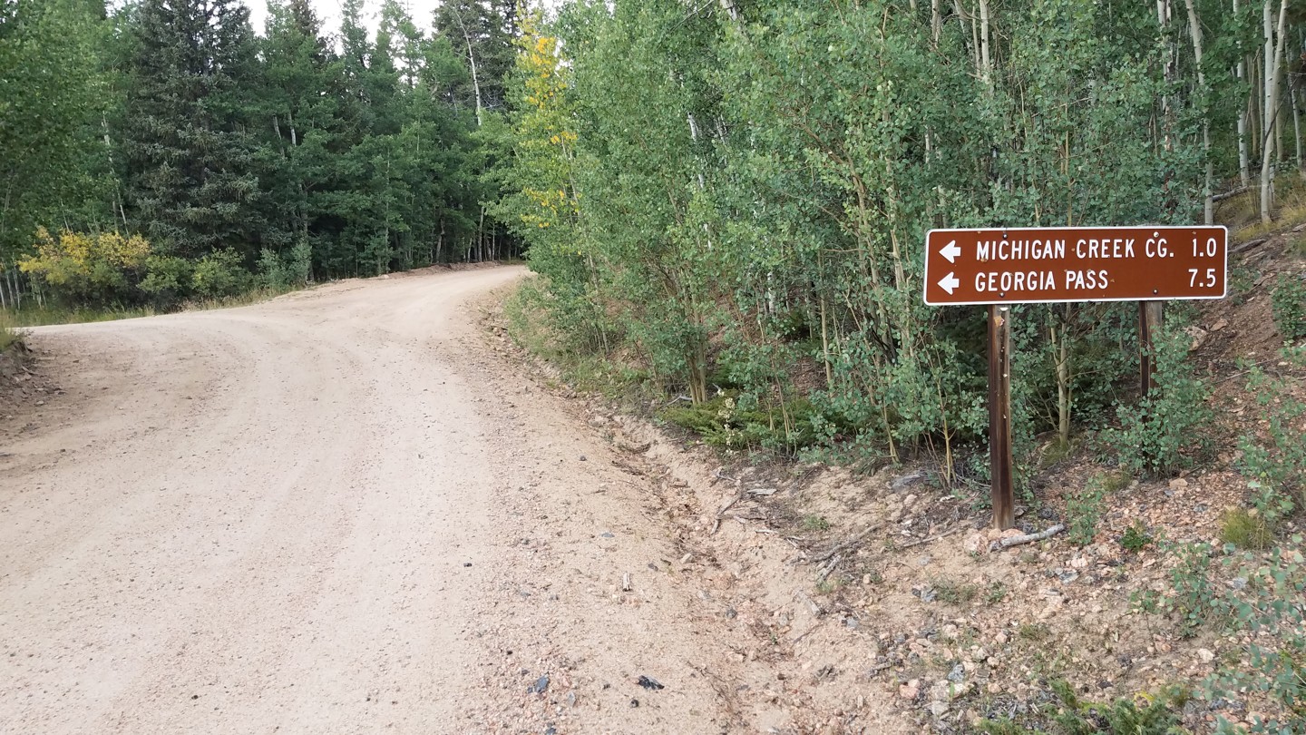
20. Michigan Creek Campground (10.4 mi)
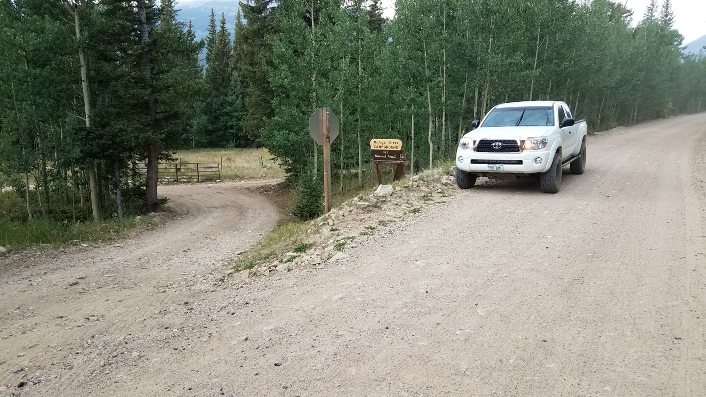
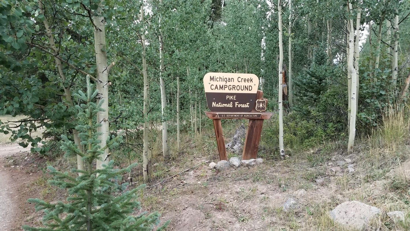
To the right is the Michigan Creek Campground. Find more information on this facility in the Camping section below.
21. Southern Trailhead (11 mi)
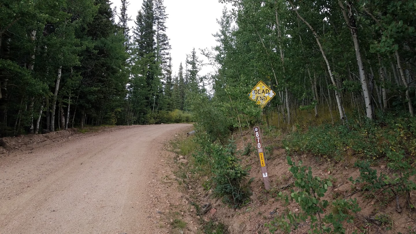
FS 870, to the right, leads up to the Michigan Reservoirs.
Continue downhill on CR 54. At a T-intersection, turn left onto CR 35 to get to US 285 at Jefferson.
While your there grab a burger and shake at the Hungry Moose Caboose!
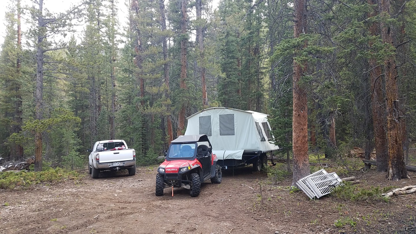
Dispersed
No camping is allowed along the mile of private land between the northern trailhead and American Gulch. After that, dispersed camping is allowed and there are established campsites all along the trail on both the north and south sides.
Near the south trailhead, pay camping is available at the Michigan Creek Campground. More information can be found on the US Forest Service website.
There are also National Forest campgrounds at nearby Lake Dillon. More civilized lodging can be found in Breckenridge, Frisco, Dillon, and Silverthorne.
Starting Point
Breckenridge/Jefferson.
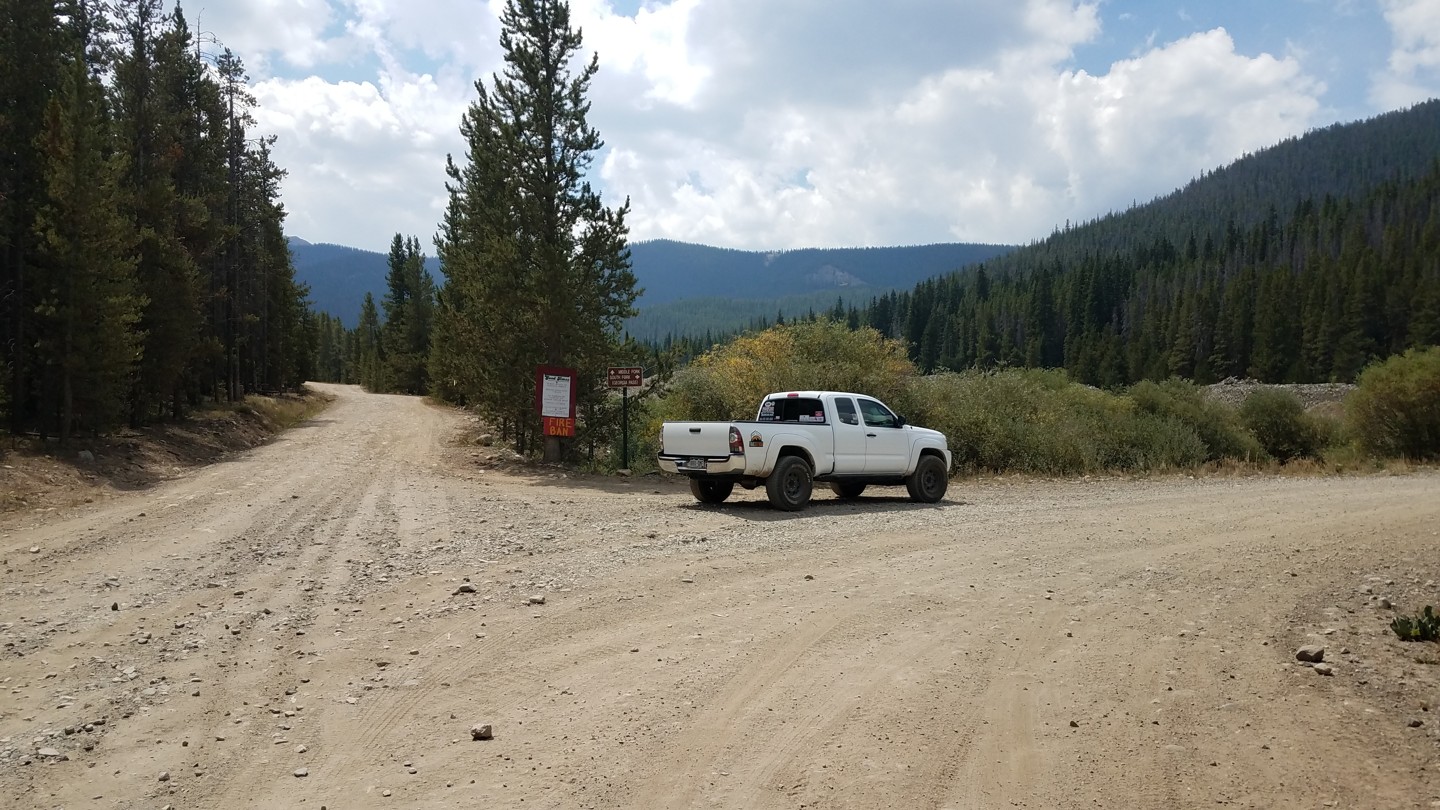
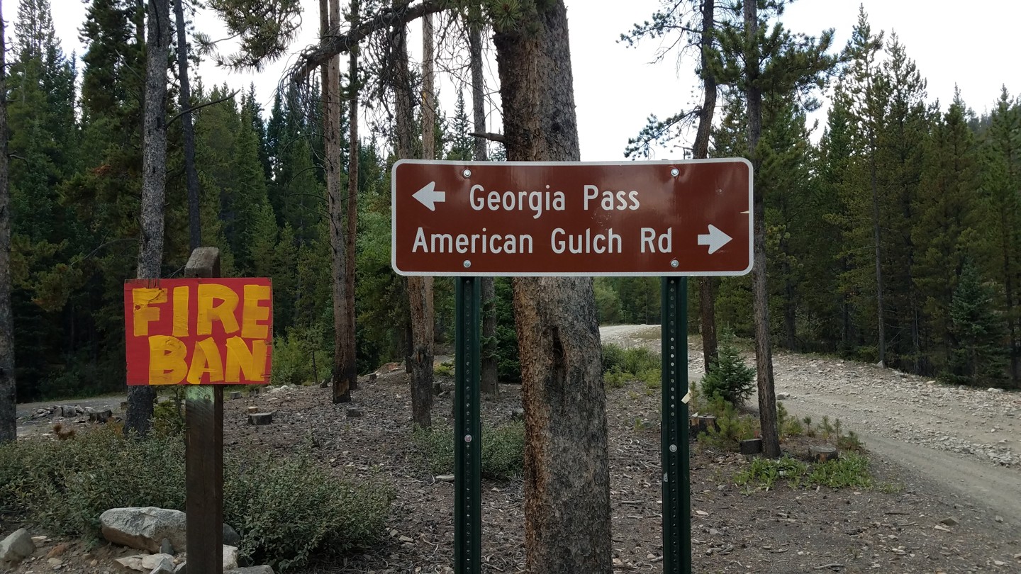
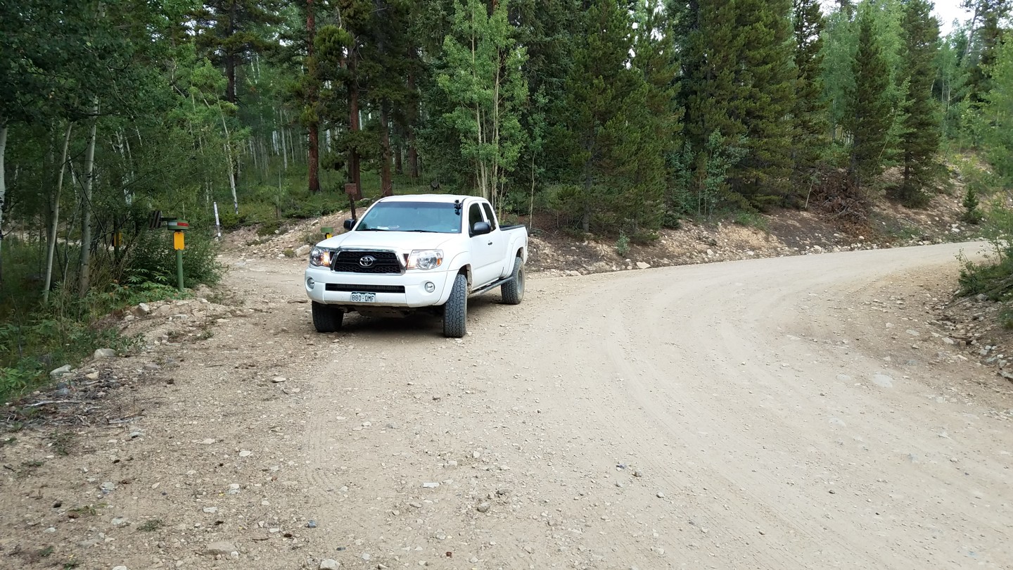
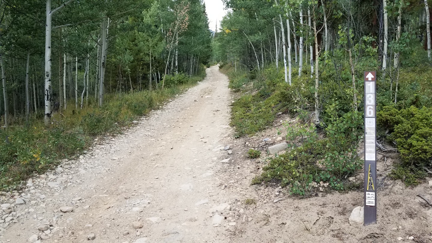
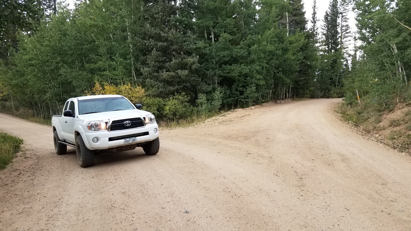
On CO-9, between Frisco and Breckenridge, turn northeast at the traffic light onto Tiger Road/Shores Lane. Zero odometer here. Pavement ends after 3 miles. Continue on Tiger Road past dredge trailings and a wide parking area on the right at 4.8 miles. At 5.7 miles, the road forks. To the left, FS 354 is North Fork Swan. Take FS 6, Middle Fork Swan, to the right across a narrow bridge. Continue through private land until, at 6.2 miles, just after the snowmobile/dog sled tour company, take the well-marked right turn onto FS 355, Georgia Pass.
The southern trailhead can be reached from US 285. At the tiny town of Jefferson, CO, turn northwest onto CR 35, Michigan Creek Rd. Zero odometer here. After about 2.9 miles, bear right onto CR 54. At 5.4 miles, follow the sign to the left at a well-marked fork. This is the southern trailhead.
Here we describe the trail beginning at the northern trailhead.
Trail Reviews
4.8/5 (75)
Open
Rated
5/5
Visited: 10/22/2022
Difficulty Accuracy:
Spot On
This trail really is one of the highlights of the Breckenridge area. It’s much steeper than the pictures make it seem on the north side, but isn’t particularly challenging. I ran it solo in a stock 2022 F-150 Tremor with no issues, other than some very minor rubbing over one of the water breaks. It’s easy enough that I didn’t need to get out to pick a line at any point. It’s an ideal trail for a body-on-frame truck/SUV with a factory off-road package—just steep and twisty enough to be interesting but never really stressful. There were a few patches of light ice that didn’t cause any traction issues in the last half mile of the north side before the summit. Other than that, it was completely clear. This will probably change given the snow expected to come in tomorrow.
Open
Rated
5/5
Visited: 09/24/2022
Difficulty Accuracy:
Spot On
Good trail with lots of OHV traffic on the north side. The side trails leading to camping spots are worth the effort as it make for a fun drive as well. But if secluded camping is what you’re looking for, the north side might not be the best place due to the amount of OHV traffic. It was much more quiet on the south side of the pass.
Open
Rated
5/5
Visited: 08/27/2022
Difficulty Accuracy:
Spot On
We ran most of the trails in the Golden Horseshoe today before going over Georgia Pass, then continuing on to Jefferson and Highway 285. The north side Georgia Pass was by far our favorite trail of the day. Scenic view from the summit. The south side is just a 2wd dirt road. We did stop and have a picnic next to a nice little stream.
Open
Rated
5/5
Visited: 08/14/2022
Difficulty Accuracy:
Spot On
Spent the weekend in Breckinridge running all the 2’s and 3’s we could find. This one was a favorite for sure. Our 2016 Ram Rebel with air suspension had no clearance issues at all. We run Toyo AT3’s and they did great in 4 low with no air down. We only passed a few atvs and had no trouble passing one another. If you are thinking about trying this trail.. GO FOR IT!!!! We had a blast and even scouted a handful of camp spots to try on our next trip out.
Open
Rated
5/5
Visited: 08/13/2022
Difficulty Accuracy:
Spot On
Very fun trail. The trail info provided here was all accurate. I started on the south end from Jefferson and traveled North, continuing on American Gulch and eventually out to Breckenridge. Trail was in good condition. Relatively low traffic for a Saturday, with the exception of one very large group of side by sides. Nothing was very difficult, but I there were a surprising number of tall ridges for drainage along the northern half of the trail which will make long wheel base vehicles life difficult due to breakover angle. I was in my stock JLUR and scraped a few times, mostly when I was too lazy to take the bump at an angle. But the gladiator with me had to be careful on all of them.
Open
Rated
5/5
Visited: 07/17/2022
Difficulty Accuracy:
Spot On
I took my 2020 Jeep Grand Cherokee Trailhawk up this with no difficulty. I have poor tires on it and only aired down to 30 PSI. It was a cool trail. I only had a couple bikes pass me Sunday morning between 9-10am. Traffic picked up a bit later in the morning.
Open
Rated
5/5
Visited: 07/17/2022
Difficulty Accuracy:
Spot On
I have never seen the south side so crowded! Every single campsite was full and there were people parking at random wide spots. I suppose they just trekked back into the woods and found a tent spot. Most of the campers were in little crossovers that could not have done the north side of the pass. The trail itself wasn't that crowded. The erosion mitigation work that the FS did at the top on the north side has not aged well. There are lots of ruts and those giant water brakes are not holding up.
Open
Rated
5/5
Visited: 07/02/2022
Difficulty Accuracy:
Spot On
Ran this trail on July 4th weekend opposite of the trail guide above (I started on the Jefferson/Fairplay side and made my way into the Golden Horseshoe area). There's a lot of camping on the south side of the trail but none of the spots were all that great. Once I got up to the top of the pass, the views were awesome and the trail got more fun once I started descending (I decided not to do SOB Hill because it was pouring rain). After making a pretty steep descent at Waypoints 14 & 15, there were some pretty cool campsites that unfortunately were already filled up. All in all, fun trail that I would do again if in the area!
Open
Rated
5/5
Visited: 07/02/2022
Difficulty Accuracy:
Spot On
Did this trail today and really liked it, was worried about it being crowded on 4th of July weekend but it wasn't. Trail MAY have been a little rougher than a 3 (berms were pretty high and scraped the bottom on a few) but could be due to my vehicle (stock 2022 Tundra, long wheel base and unfortunately an inch lower than my previous 2019 Tundra) but it DID seem slightly tougher than other 3 ratings I have done. But overall a great , fun trail with a rich history, easily found solitude and great views. I will do this one again.
Open
Rated
5/5
Visited: 06/26/2022
Difficulty Accuracy:
Harder
Had been wanting to get up in this area for a while and it did not disappoint. Ran it from North to South all the way to Jefferson, and had intended to link up with Michigan Creek, but missed the turn. This trail was tough enough to be fun, but I took no damage in my stock JK Rubicon 2 Door. Definitely be cognizant of side by sides that RIP this trail.
Open
Rated
5/5
Visited: 10/22/2021
Difficulty Accuracy:
Spot On
After I ran china wall trail with my friend I decided to run Georgia pass from south to Breckenridge. The south side was easy with a little snow but as soon as you drop over the Breckenridge side it was steep with lots of snow and ice. I slid in places but took it slow in 4Lo and 1st gear. Great trail I was happy to make the run before it closes due to snow.
Impassable
Rated
5/5
Visited: 10/16/2021
Difficulty Accuracy:
Spot On
Came up the south side. Snow is 6 to 9 inches deep at the summit. Walked down the north side a bit. Drifts are knee deep there. Found some SxS's below the summit on the north side. They were doing trail repairs after failing to summit.
Open
Rated
5/5
Visited: 10/01/2021
Difficulty Accuracy:
Spot On
Only ran the 285 side before along with SOB. Ran the full trail this time. Fun easy trail into Breck. Inadvertently got on the camping spur in the west side of the creek. It seemed harder and much tighter than the main trail with some large mud holes that I didn't want to test the depth being alone. A couple good creek crossings after the camping spur
Open
Rated
5/5
Visited: 08/16/2021
Ran this today in 2018 4runner TRD Off Road w 3 inch lift and sliders. I was nervous about the very top as I had hiked it before but it turned out the latest changes from the Forest Service made it very manageable. We went up from Breck and decided at the summit it was easy enough to just go back down on the hard side. Fun trail! The 3 rating seems correct.
Open
Rated
5/5
Visited: 08/15/2021
Great day to shake out new bumper and suspension! And finally some clear skies! Is it just me or has the trail gotten rockier this year? (Especially from waypoints 7 to 11.) I do feel like the monster water breaks are starting to smooth out a little. Maybe long-wheel-base trucks are "plowing" them off a bit. :)
Open
Rated
4/5
Visited: 07/23/2021
Ran Georgia Pass 7/23 in my Ram 1500 with sliders and 33s from Breckenridge to Jefferson. The trail is not very hard but there are still about 5 erosion control dirt mounds that I had to use my sliders to get over. Last year I ran the trail after they put the mounds in and I did not have sliders and chewed up my rocker panels a little bit as I scraped going over about 20 of them. I saw a chevy 2500 coming down while I was going up and they turned around because they could not make it over the mounds without high centering. This is a great trail and I hope the remaining 5 dirt mounds get packed down so they wont be an issue next year.
Open
Rated
4/5
Visited: 07/11/2021
Out camping in Breckenridge and made a quick run up Georgia Pass from our campsite on North Fork. Easy trail with a lot of loose rocks, and nice view at the top. Go another 1/2 mile on SOB to get to Colorado Trail, then hike up trail for better view. Came across at least a dozen thru hikers on the CT.
Open
Rated
5/5
Visited: 07/11/2021
Traveled North to south. Took the dogs on a Sunday trail ride. This was perfect, not too bouncy for them. I would recommend airing down the tires for a smoother ride (lots of rocky sections) Only met up with 5 or 6 vehicles going opposite direction and a little dusty in sections as well. Good for beginner off roaders with only a few steep sections. The top of Georgia pass has a great view and large open area where the dogs could run.
Open
Rated
4/5
Visited: 06/21/2021
We took my Power Wagon and rented some ATVs as well to bring the whole family up this trail for a Father's Day event. This is the suggested trail for the ATV rental outfit we used out of Breckenridge, so you can expect quite a bit of ATV traffic and inexperienced drivers on the trail. This is a tight, winding trail. My time-lapse GoPro footage is pretty much worthless and mostly just looks like a blur of trees flying past because of how dense the brush is around the trail. The switchback in the meadow I was just barely able to fit my truck around. The sluice still had plenty of ice, but with front and rear lockers it was pretty uneventful getting through. The ATVs were able to squeeze next to the ice, and our SxS did some spinning but made it through fairly easily. After the sluice, the trail gets pretty steep with a lot of washouts and berms. This was the worst part for my long wheel base, and I scraped the sliders a few times where there is a washout immediately past the crest of a hill climb. This part seemed notably harder than the higher rated Kingston Peak trail I ran last year. The ATV riders had to take care not to go over the handlebars on the way down here. The views at the top are incredible, but windy and cold. Expect some pinstriping on a larger vehicle, as well as needing a little more attention to tire placement on this tight trail.
Open
Rated
5/5
Visited: 05/31/2021
Tried to drive up and over from the south on Memorial Day. It was very rainy and wet but trail was in solid condition until we made it a bit past waypoint 18 and 2' snow drifts turned us away. Didnt attempt it as I didnt have a shovel or winch. Was in a stock Gladiator Rubicon. Could probably be done but wouldnt advise it unless you have the right gear to clear through the snow. Should be clear of snow by mid June at the latest as it was patchy. Gorgeous trail though and will be back.
Impassable
Visited: 11/22/2020
Considering tomorrow that the north side of the trail will close for the season, I think it's safe to say the pass is impassable. However, today we were able to make it to the summit from the south side out of Jefferson. The trail had some very hard packed snow, but not a lot of it. We didn't attempt to go down the north side because it had deeper sugar snow and we didn't want to mess with that today.
Impassable
Rated
5/5
Visited: 11/12/2020
Snow is FINALLY falling in Summit County. There is still some time to get snow wheeling in before the gates close. There is somewhere around 4 to 8 inches on the trail down in the trees. I assume there will be much more higher up. I turned around at 4 as I was riding solo and didn't want to get into trouble.
Open
Rated
5/5
Visited: 10/31/2020
Great moderate trail. I ran it today in my XJ (4" lift, 32s) north to south. There was a little snow at the lower elevations and lots of snow at the higher elevations. A few obstacles, but the snow honestly made them easier. I blazed the trail through fresh snow for the last 1/2 mile to the top. The road down on the south side was pretty but uneventful.
Open
Visited: 10/15/2020
Ran Webster, Georgia loop today. Wow, I was just up here 2 months ago and what a difference! Honestly, the last few years the top mile or so was just sad, very braided out and quite frankly trashed. Today I saw the work our Forest Service put into it and it gets two thumbs up! They bulldozed over a few idiotic illegal bypasses and the top section is just beautiful now. A few obstacles are gone but the trail is just so much nicer in general.
Open
Rated
4/5
Visited: 09/27/2020
Went out with our Mini crew and used this to jump back over from Breckenridge to 285. We did peak 10 first which was a lot of fun. The trail was in good shape although starting the climb from the Breckenridge side, there are several areas where we kissed the bottom of the Jeep. Nothing hard but no real way to avoid it. The trail was extremely busy at the parking lot where we aired down but traffic decreased as we went up the hill. At the top it was pretty open with some amazing views. Took our obligatory picture in front of the Continental divide sign and headed down the other side. the drive from the top to 285 is very easy and we were able to hit pretty good speed without any issue. Got reminded a few times that it is a slower speed limit on the road. At the bottom of the pass there are a lot of campgrounds that would be fun to check out. The valley that you drop in to is pretty awesome. Aired up just before we hit pavement and off to Denver.
Open
Rated
5/5
Visited: 09/27/2020
I decided to nickname this trail the Mullet Trial cause it's all business in the front (south side) and a party in the back (north side)!. Ran this in my husbands stock Jeep Wrangler with 33's , from north to south, early on a Sunday morning and basically had the trail to ourselves except for a few ATV's and 2 other Jeeps. Unlike another reviewer who thought tire placement would have kept them from scrapping we were pretty sure there really wasn't a way to avoid that in a car with no lift. Only hit the rear bumper once But this was a fun trail, undulating trail with some great fall colors going on in the meadows. When we parked at the summit we were ready to do it again. Looking forward to running this again next summer.
Open
Visited: 08/05/2020
Very scenic easy trail. Did it in my hummer h2 then did north fork swan river and st John's. Georgia pass was by far easiest of the three we did. However on Georgia pass there was a big excavator working the trail making big washout piles. Tall and narrow. We were first on the trail after this dirt work and drug bottom on every mound the operator had built up. Nothing bad just loose dirt . There was a 2 wheel drive Silverado coming up and the couple turned back after seeing us bottom out. I'll say he was driving a much nicer truck than me and it wasn't a vehicle you'd want to high center. But it I'm sure is fine after some traffic. Awesome overland trip to colorado. If you are able I highly recommend these high summit trails. Met some great folks on the journey.
Open
Rated
5/5
Visited: 08/05/2020
My wife and I ran this trail north to south in her stock 2015 4 door Jeep wrangler. We drug the skid plates in a few places but nothing major. It could have possibly been avoided with a little better tire placement. Overall an awesome trail with a gorgeous view point.
Open
Rated
5/5
Visited: 07/29/2020
Did this as a substitute for Webster Pass as people were commenting that snow was still making that trail impassible to Montezuma. Georgia Pass is definitely a moderate trail. Scrapped the skid plates once or twice with 11 in. clearance but nothing damaging. Very beautiful at the top of the pass. Went from Jefferson to Breckenridge. From the pass to Breckenridge is the more difficult part but going downhill gives an advantage. We passed an excavator at one of the creek crossings with signs saying 'road work', but that person was making the trail worse. He made a 3 foot dirt/rock mound we had to drive up and over with 4wd low and it appeared that the trail was better off before. Awesome views, mountain/alpine scenery, and an old cabin structure.
Open
Rated
5/5
Visited: 07/25/2020
Guided a newbie Jeep and an experienced Jeep for their first trip to Summit County. It was a rainy, soggy, slippery day. It was crowded too. Almost got run over by a side-by-side who took the illegal bypass at waypoint 13... bonehead.
Jeep 1 was having issues with transfer case linkage. Jeep 2 died just before the summit. (He's got a hybrid and the batteries drained.) Tacoma never broke a sweat. After a few power donations from the Taco, we got him limped home.
On the way down the south side, we were VERY disappointed to find the Moose Caboose in Jefferson closed. I hope it's just a 'Rona thing and not permanent!!!
Open
Rated
5/5
Visited: 07/12/2020
Ran Georgia Pass north to south in a 3 in lifted 07 4runner. Off-camber is pretty serious in some parts and a lot of fun! Only a few parts where I really had to worry about wheel placement, didn't need a spot at any point though. We saw two Moose about 20 feet away after waypoint 4, beautiful creatures!
Open
Rated
4/5
Visited: 07/01/2020
Trail is open and was a fun trip. The first half was a lot of fun climbing rock. Loved the sluice box! After the climb there is a large flat area with nice views and quite a few goats. People must feed them as they came right up to our Jeep; even with their babies. After this area the rest was too easy and could be run by most cars. The dispersed camping on the second half looked cool if your interested in camping or napping!
Partially Open
Rated
5/5
Visited: 06/14/2020
The trail is blocked at the Sluice Box (Waypoint 14). Some bone-heads are trying to bypass by going off-trail on the right, but this (while destroying the area) only gets half-way up the Sluice. There's plenty more ice above the bypass and snow above that. Please stay the trail!
Open
Rated
5/5
Visited: 08/07/2019
Pretty fun connector from Breck to Jefferson. Definitely not much harder than a We camped along the river near the bottom of the Breck side and drove the "camping road" all the way up to WP3, which was a bit more exciting than the regular route. Water crossings were decently low. I took a few more pictures of the rockiness of the trail for perspective. Check out some of the off-shoots from the top of the pass.
Open
Rated
4/5
Visited: 07/22/2019
Took a stock 2017 Jeep Renegade through this trail from the Breckenridge side. Right now the French Gulch shortcut is cut off and you cannot get to/from the trail through French Gulch. I had some slight trouble nearing the Georgia Pass summit due to a small amount of mud that caused some slipping, however, for the most past the trail was easily handled so long as we took it slow. Noticed no ice in the Sluice Box.
Open
Rated
5/5
Visited: 07/13/2019
We ran from Waypoint 1 to 14 (the Sluice Box)....it's "Open" to that point but the ice/snow forced us to turn around at a small campsite along the Sluice Box. I'm still too new at all this with a stock Rubicon to venture beyond that. That said, it was FUN. Turns are tight. Water crossings are neat, and can't wait to try it again in drier conditions up high!
Open
Visited: 07/13/2019
The trail is very wet with late runoff. The ice in the Sluice Box (Waypoint 14) is very thick, but breaking off in large chunks. I didn't try it, but it is passable with enough skill or enough rig. PLEASE don't go off trail or make the trail wider as you navigate this obstacle!!
Open
Rated
5/5
Visited: 09/16/2018
Traveled GA pass on Sunday afternoon starting on the North (Breck) side; trail was in good condition. It was dry and dusty, but we had a great view of South Park from the divide. Traveled as a party of two, did not encounter any other vehicles on the trail. Only 1 other group at the summit.
Partially Open
Visited: 05/27/2018
As of Memorial Day 2018, the Northern gate is open. I drove as far as WP 6. There the hard-packed drifts were covering the road. Since I was rolling solo and had a lot more on my schedule, I turned back there.
Note: The big water crossing (WP 4) has been filled in with gravel and the old house (WP 5) has been bull-dozed. The campsite at WP 5 is now blocked off. PLEASE stay off the grass and tilled soil there!! There are already tire tracks out on the grass. This is a perfect way to get a trail closed!! Don't be an idiot. Stay The Trail!
Look for an updated write up in the next few weeks.
Open
Visited: 06/24/2017
Trail is open and passable from end to end. Did a work day in partnership with the Forest Service clearing the last remaining snow drifts, installing new signs, and closing off illegally created bypasses. Please stay on the main trail! At several sections of snow, bypasses into the trees had recently been created. Use the trails responsibly and if you cannot make it past an obstacle such as snow, please turn around and try another day.
Partially Open
Visited: 06/09/2017
Heavy snow from May is still hanging around even at lower altitudes. The Dillon Ranger District has opened the seasonal gate on Georgia Pass. However, the pass is not clear to the summit. In fact, the northern approach is well blocked with snow just beyond the second gate at WP 10 (pic 3).
Between WP 7 and WP 10 there are several drifts of snow blocking the trail. These drifts are not terribly deep or long. Most of them are hard frozen and would better be described as ice. Heavy rigs may break through these and get badly stuck. Lighter rigs will be able to pass over them, but may find themselves sliding off the trail. (Pic 1 and 2)
If you do decide to tackle the snow, PLEASE STAY THE TRAIL! There is already evidence that some folks are skirting off of the trail to get around drifts. When the ground is wet (as it is now), these excursions do a lot of damage. This is a sure fire way to get the Forest Service to limit access or even close a trail.
Partially Open
Visited: 05/11/2017
This report is per a friend of mine: The Jefferson side of this trail does not have a gate nor a seasonal designation. Started on the Jefferson side off highway 285. At about 4 miles from the 870/54 intersection the trail was blocked by a large tree. That tree has been removed By the Sasquatch Jeepers from Mile-Hi Jeep Club. The road is open another half mile beyond that before it's completely snow-covered. It's about 1 foot deep and it's that loose granular sugar snow that gives you no traction. A group of well-equipped vehicles could make it a bit further.
From the Community
Be the first to ask a question!
Trint Ladd
Mapping Crew - Colorado
Trint grew up riding dirt bikes in the creek beds of the Texas Panhandle. While attending college in Colorado in the late 1990's, he saw a magazine article about a Ford Explorer four-wheeling club. He never saw his Explorer as an adventure vehicle before, but quickly joined up and caught the bug.
With his engineering background, Trint has always respected the factory design of a good truck (and recognized when manufacturers put cheap parts into something marketed for off road use). "A good driver, with a well built, stock truck can do trails that would break a $50k, built-up rig with an inexperienced driver."
He put that 1st gen Explorer though hell and it always held up, earning great respect from the "big dawgs" in the club. (And earning the nickname, "The Idiot Stocker.") The truck was christened "BamBam" because of the frequent sounds ringing out from the factory skid plates.
Now that Trint is "grown-up" (quotation marks intentional), he's a bit less inclined to dent up his 2011 Toyota Tacoma, but still feels the same way about superior engineering. The "Stocko Taco" wheeled for over 10 years with no mods other than trail armor. In 2021, it finally got a couple of inches of lift... and a new name: "Taco Supreme."
Trint's love for the mountains was ingrained at a very early age. 8mm film exists of 18-month-old Trint in a backpack on his dad's back while riding dirt bikes through the mountains of Red River, NM. Although Trint does enjoy a good, tough, technical rock trail, he can often be found on easier, winding, Alpine roads just taking the glory of God's country.
Visit Profile
Start a free trial and get this level of detail on every trail
guide
Start Free Trial
Print Trail Guide
Purchase
Company
Community
Recent Updates
By clicking "ACCEPT", you agree to be the terms and conditions of each policy linked to above. You also agree to the storing of cookies on your device to facilitate the operation and functionality of our site, enhance and customize your user experience, and to analyze how our site is used.