Please wait - Uploading to Gaia GPS
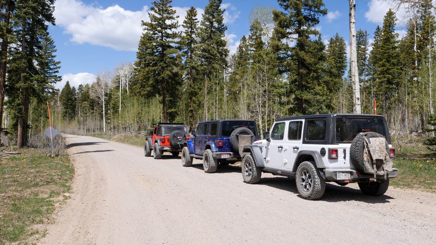
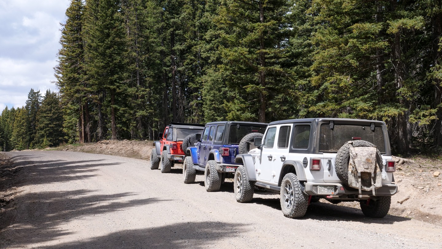
Rimrocker

Trail Information
Difficulty - Mandatory
3 -
MODERATE
Difficulty - Optional
3 -
MODERATE
Status
Seasonal Closure
Distance
160.88 mi
Duration (one-way)
About 2 days
Highest Elevation
9973 ft
Shape of Trail
Straight Through
Typically Open
05/16 - 11/30
Best Direction
N/A
Official Road Name
Rimrocker
Nearest Town
Montrose
Nearest Services
Montrose
Management Agency
Uncompahgre National Forest / BLM / Manti La Sal National Forest
District
Ouray, Norwood, Manti-La Sal
Highlights
 Camping
 Desert
 Forest
 Ghost Town
 Iconic
 Mine
Mine Mud
Mud Overland
 Scenic
 Water
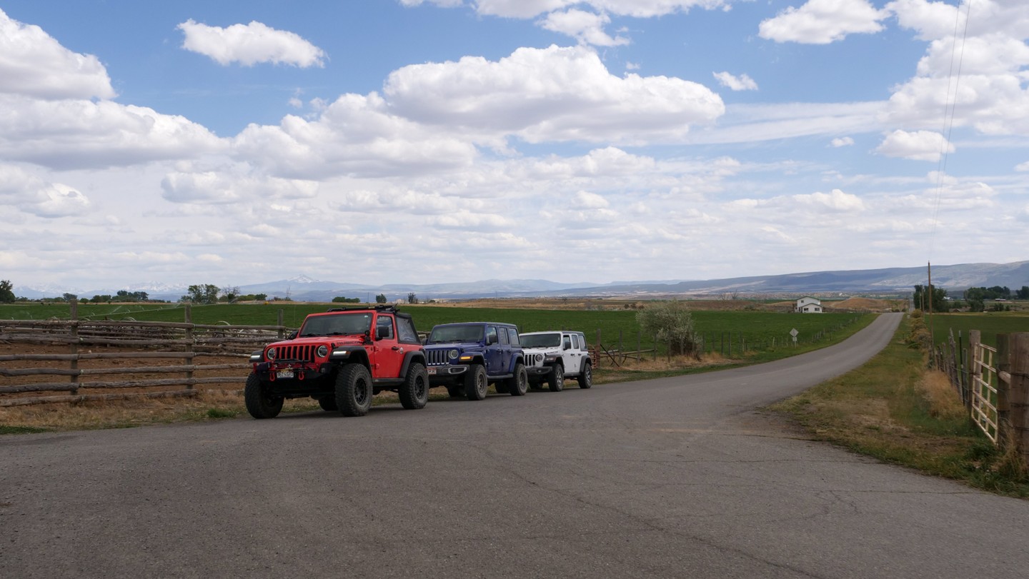
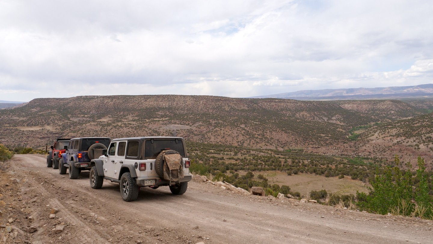
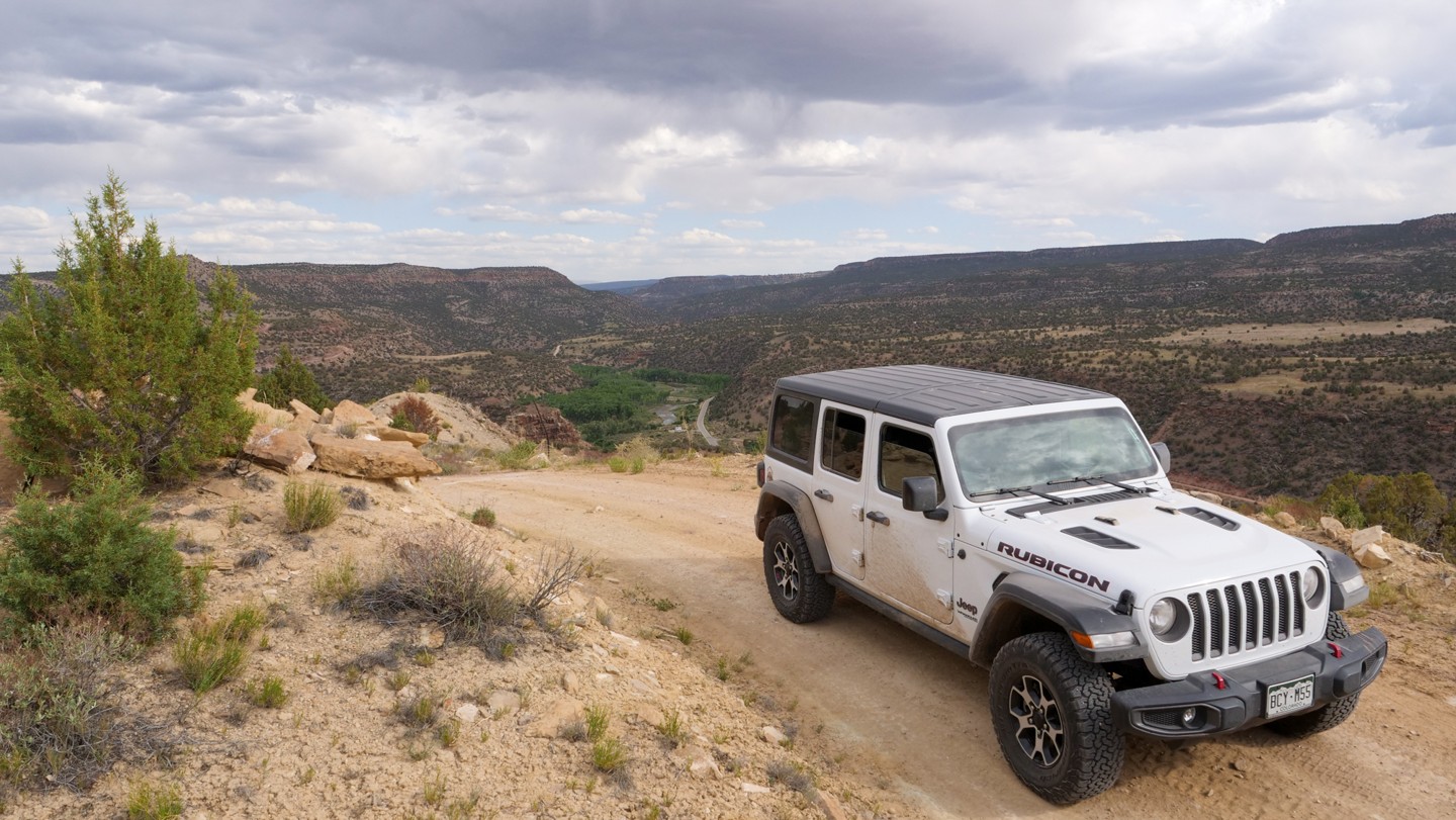
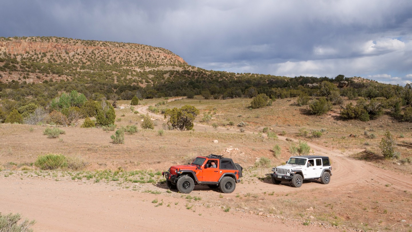
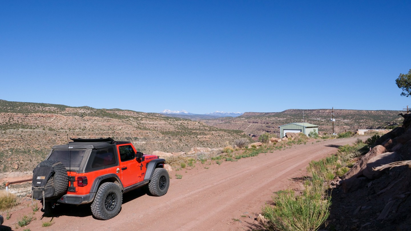
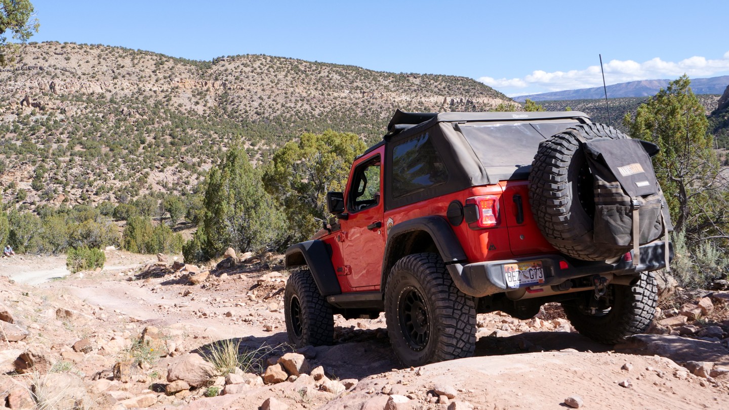
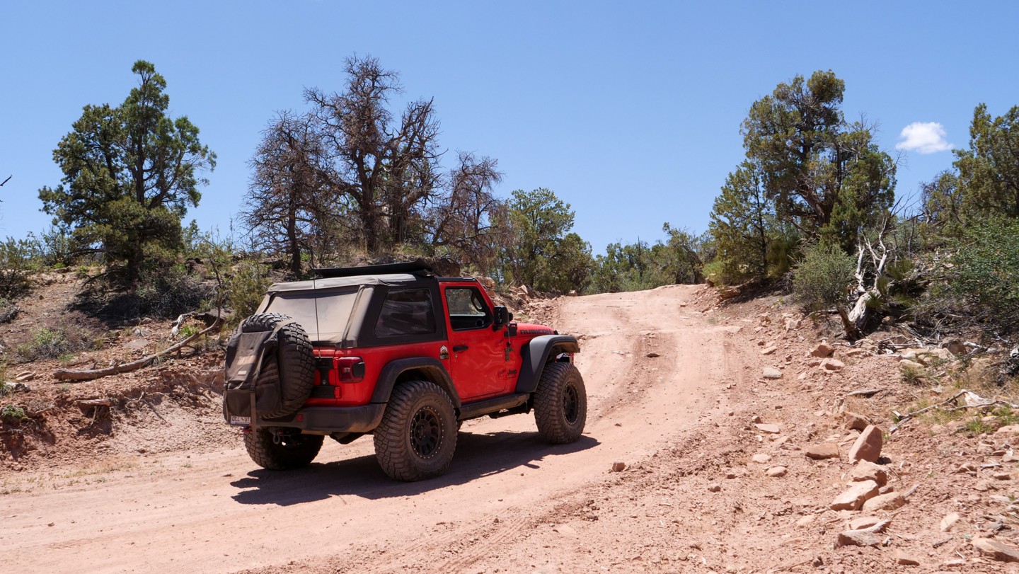
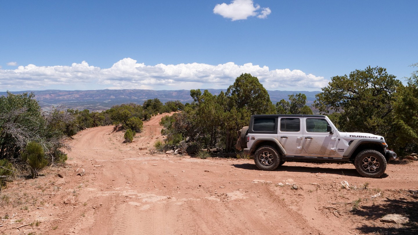
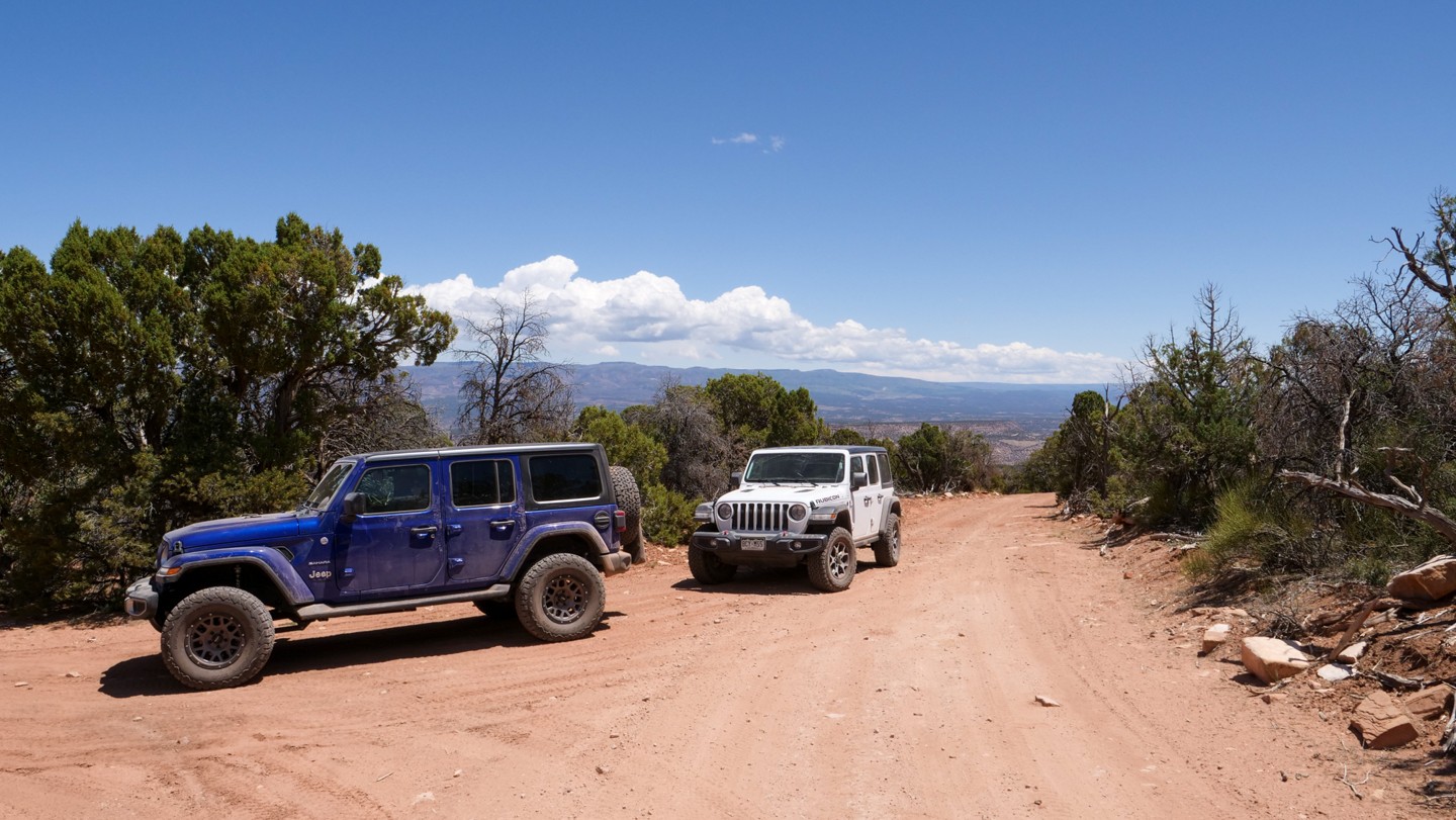
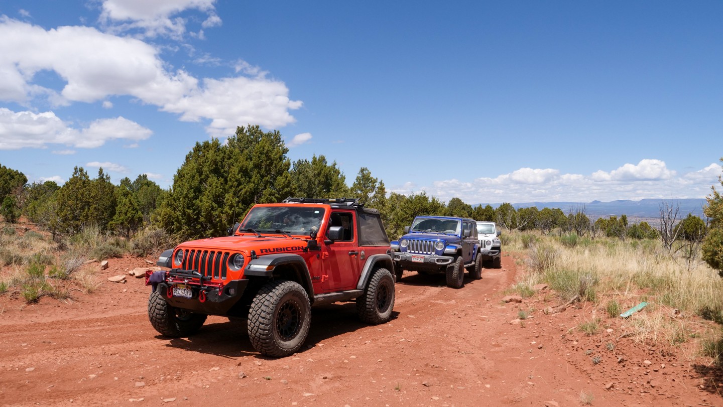
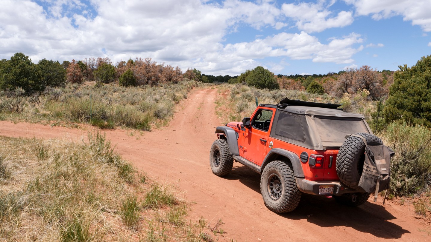
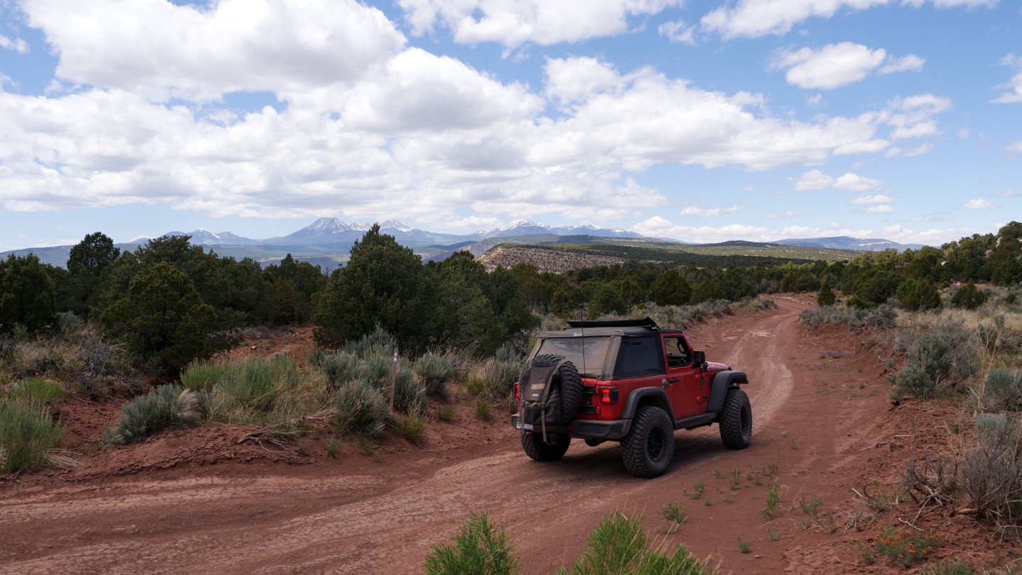
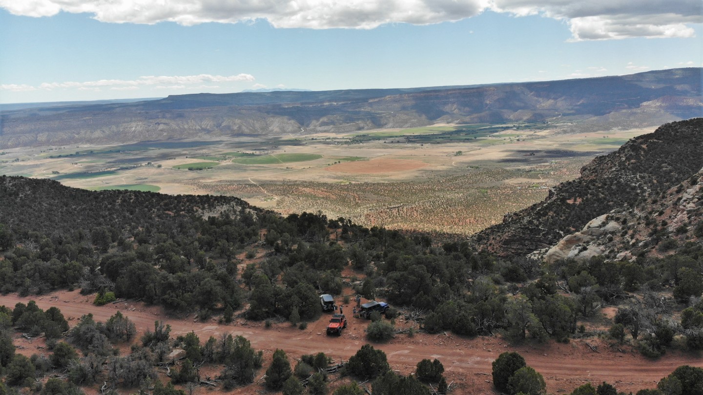
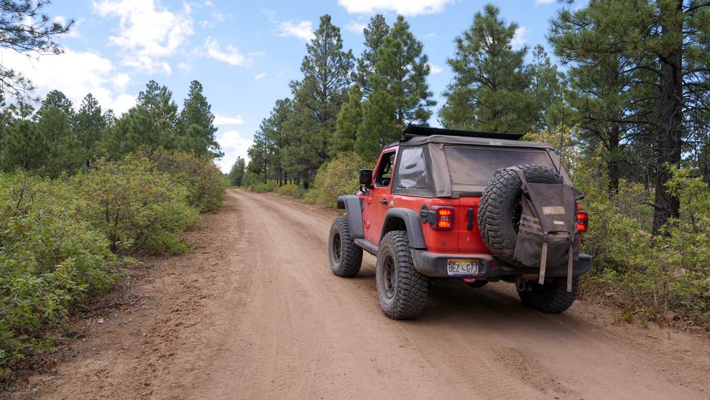
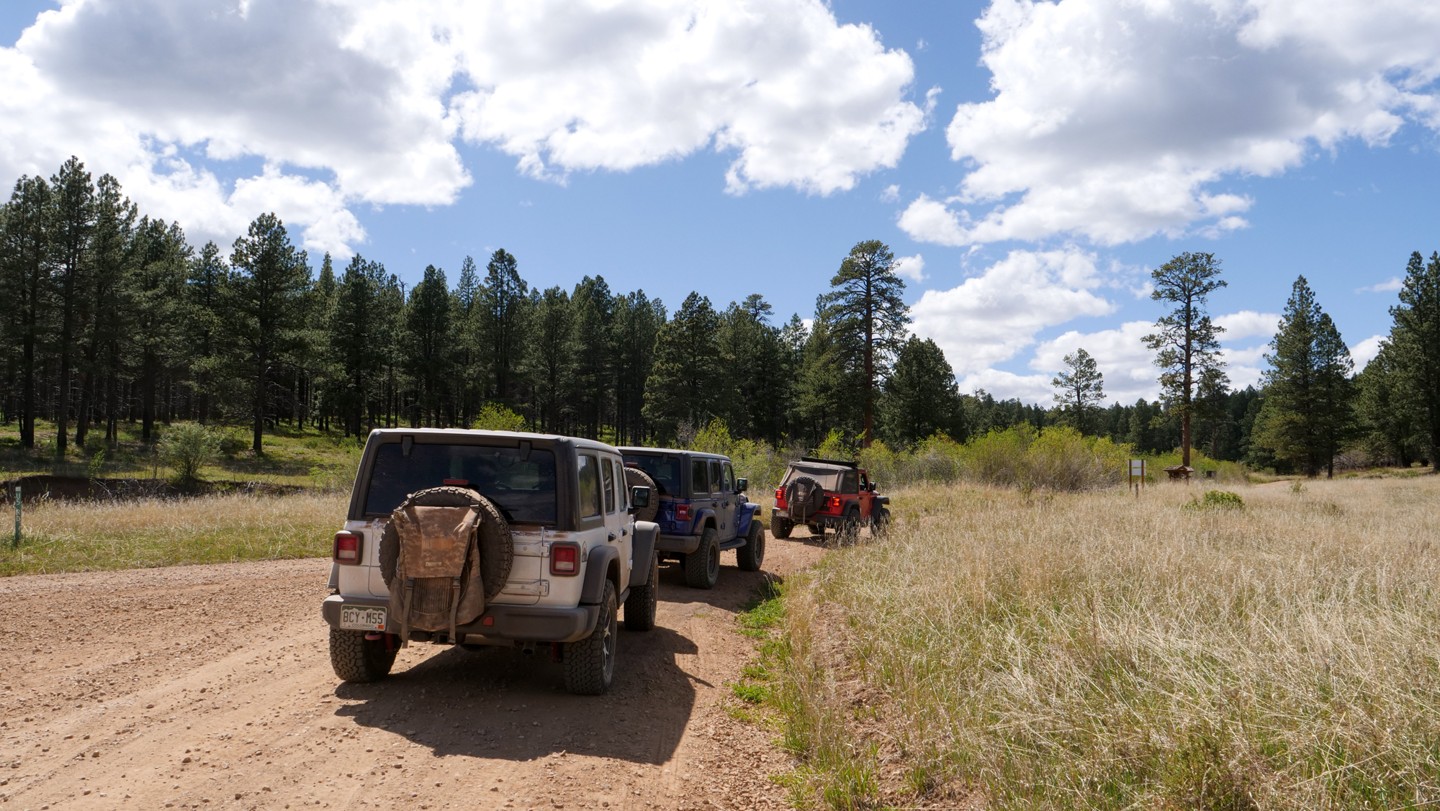
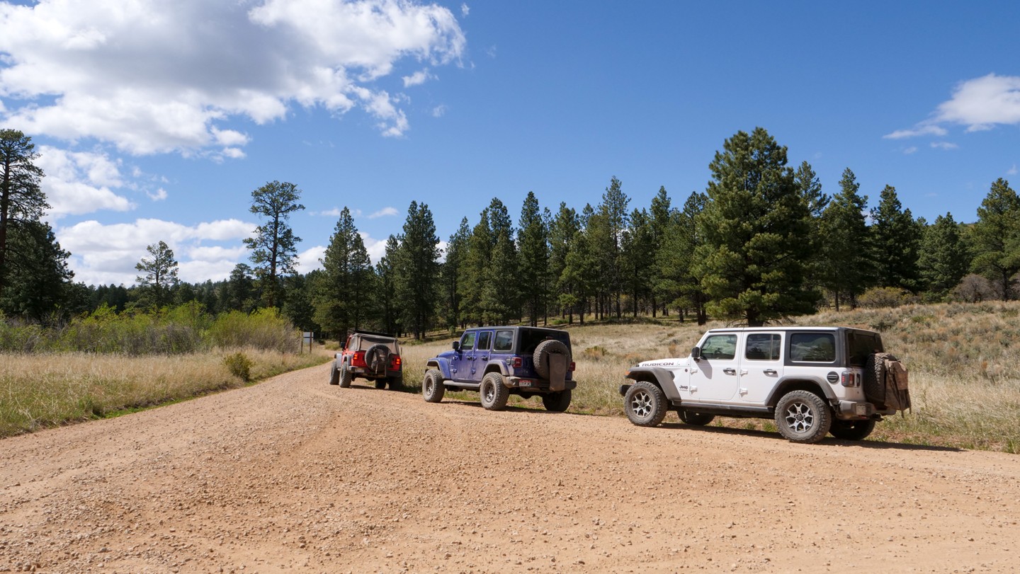
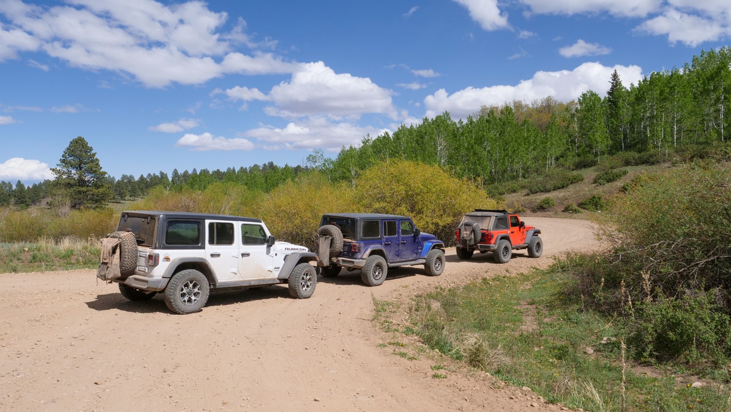
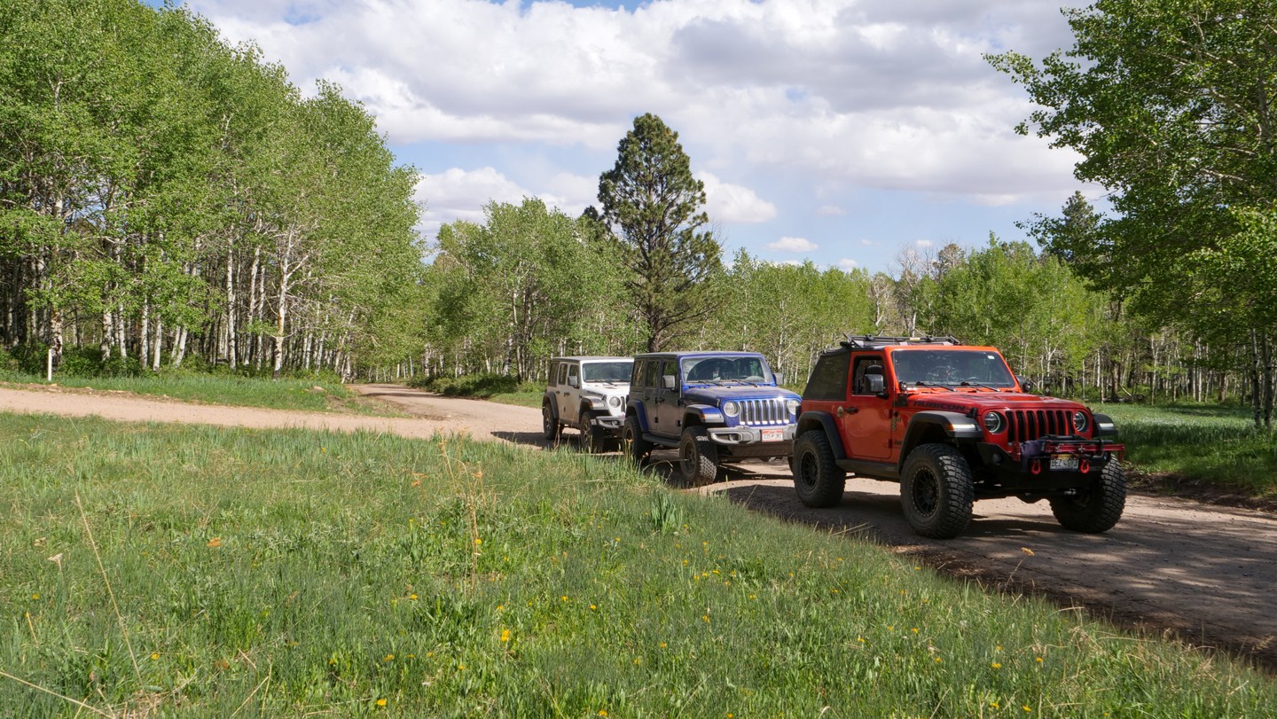
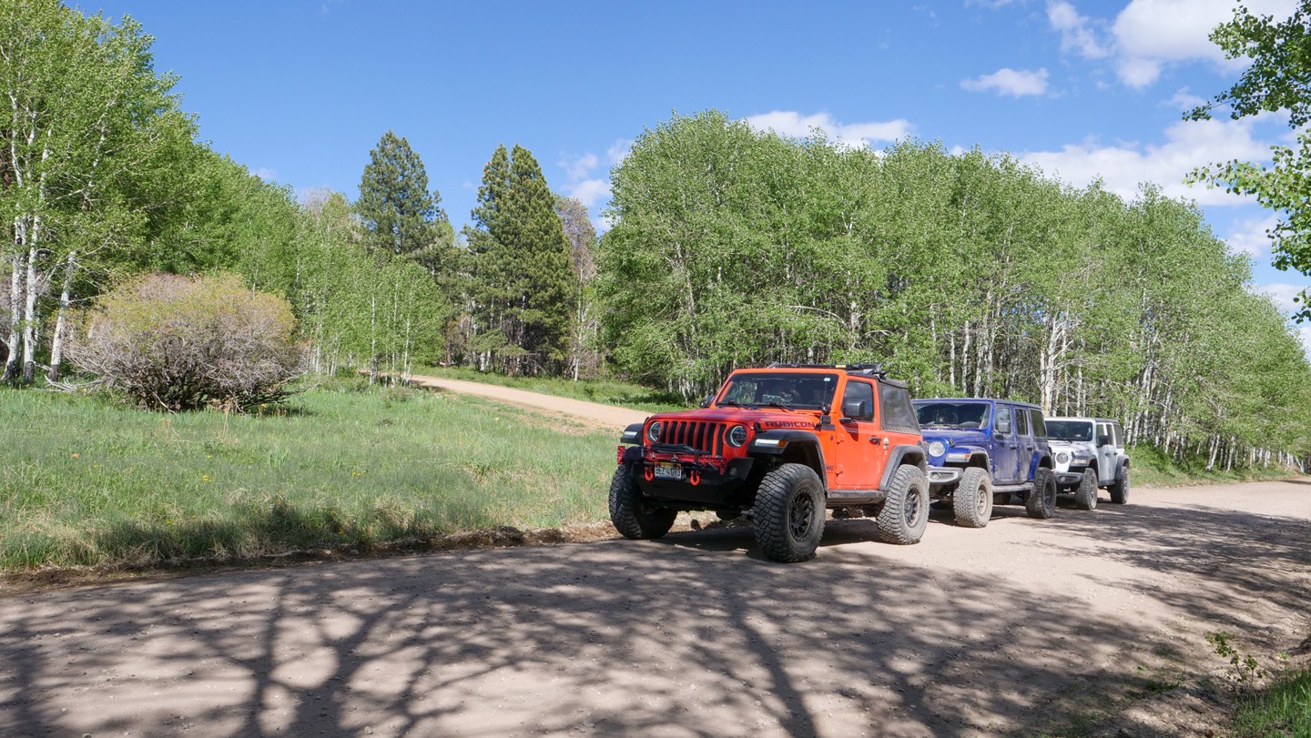
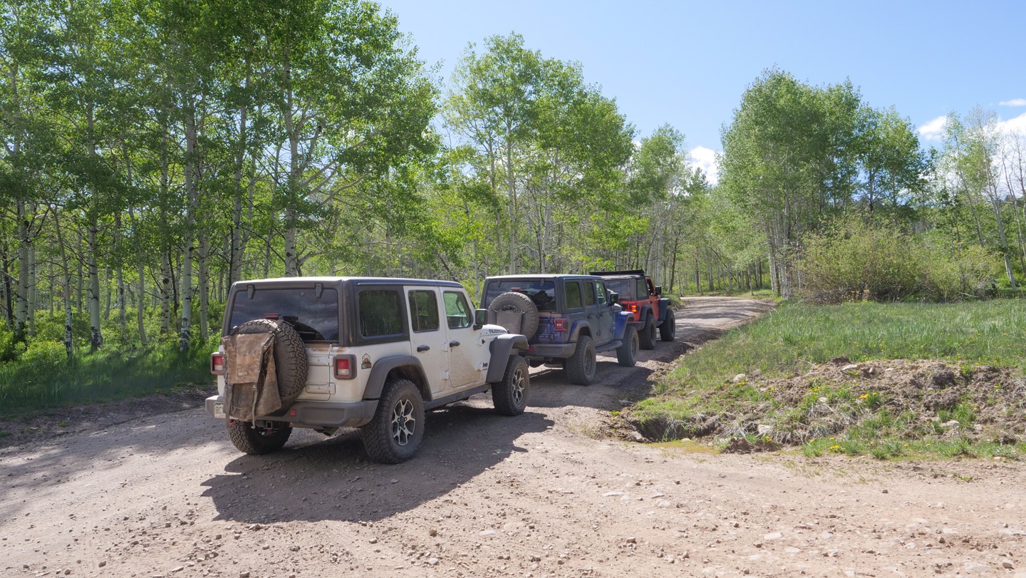
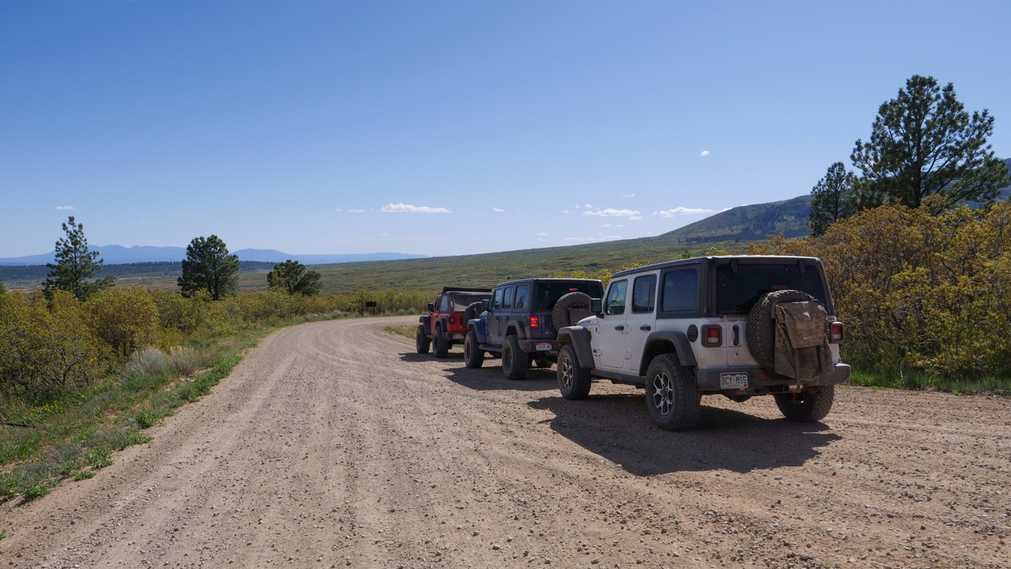
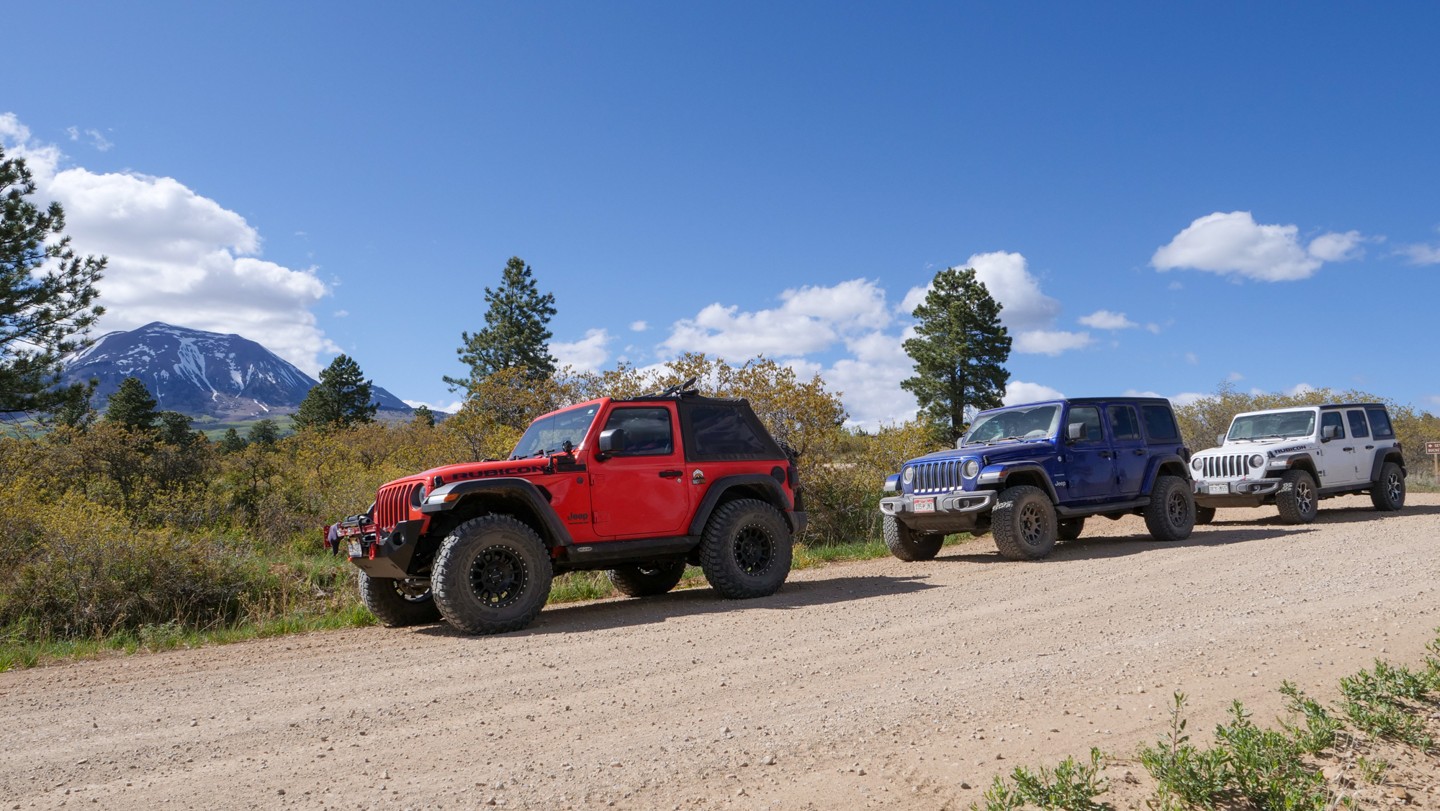
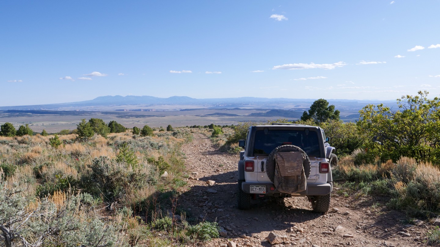
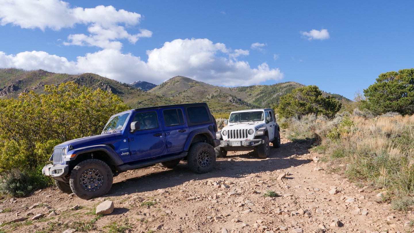
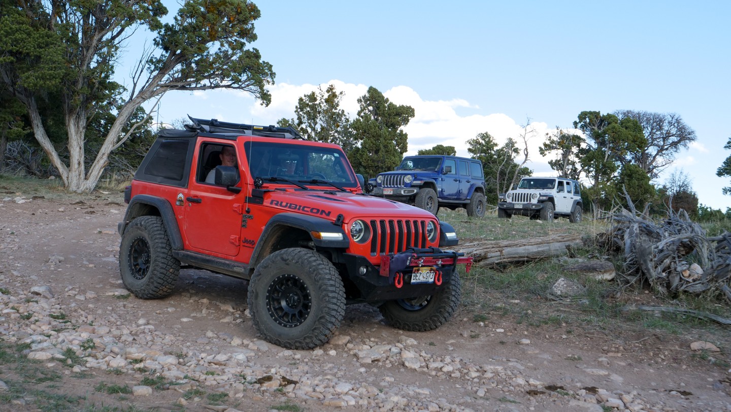
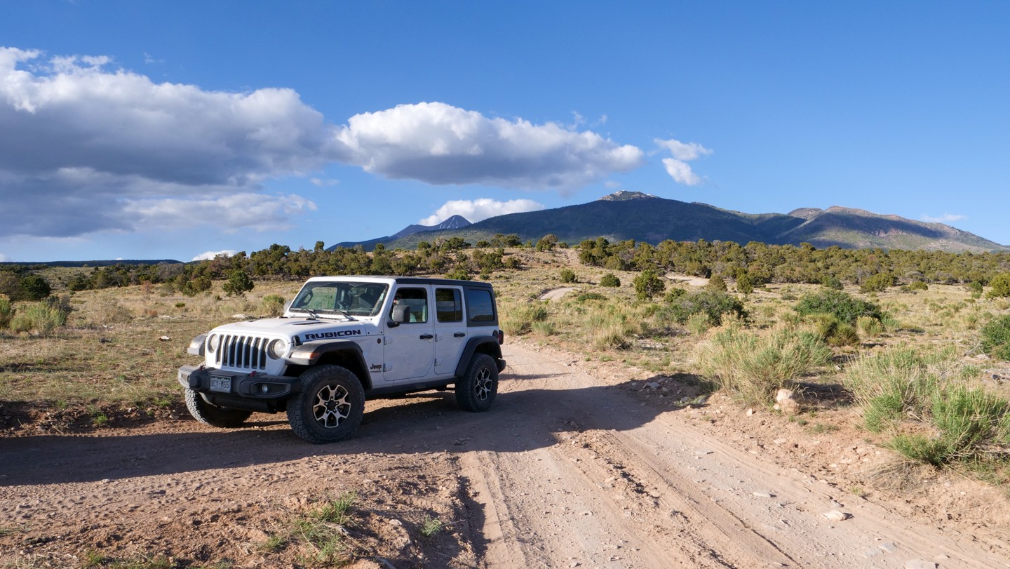
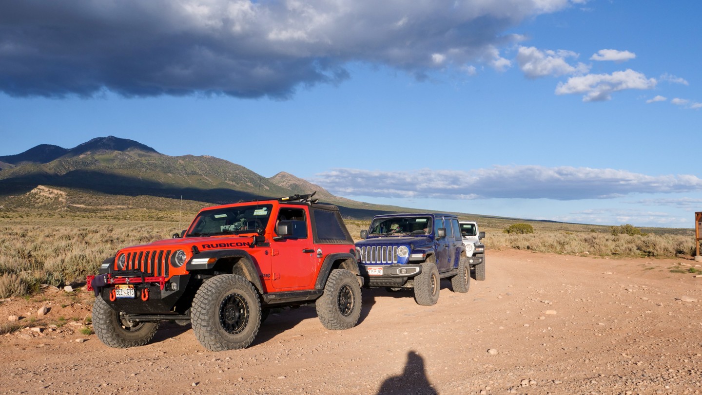
WaterThe Rimrocker Trail is a route of connected trails that allows you to enjoy 160 miles of off-pavement travel while experiencing the many different stunning landscapes that connect Montrose, Colorado to Moab, Utah. The trail is an especially vibrant destination to travel through the aspens during their fall color changes as well as stopping for the fantastic views at the overlooks. Towards the west end of the trail, the Manti-La Sal National Forest provides beautiful scenery and wildlife as well as gorgeous views of the La Sal Mountains. As you approach Moab, the landscape quickly turns from forest into desert as it transitions to some shelf roads built of the signature Moab red sand.
Rimrocker travels through some historic areas of Colorado, highlighting the areas that reflect the mining days of the early 20th century. One area, in particular, is the old, abandoned company town of Uravan. Uravan is a contraction of Uranium and Vanadium. The town was a company town established by U. S. Vanadium Corporation in 1936 to extract the rich vanadium ore in the region. As a byproduct of vanadium extraction, small amounts of uranium were also produced. You will notice a green hue to many of the rocks as you travel through this region. The green hue is an indication of the presence of uranium ore.
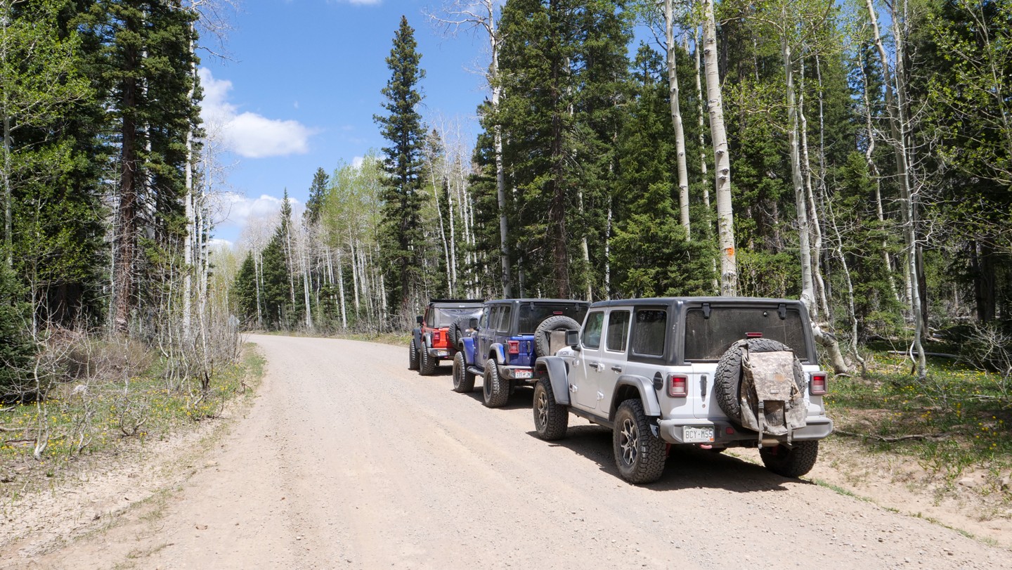
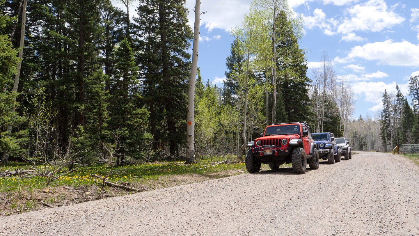
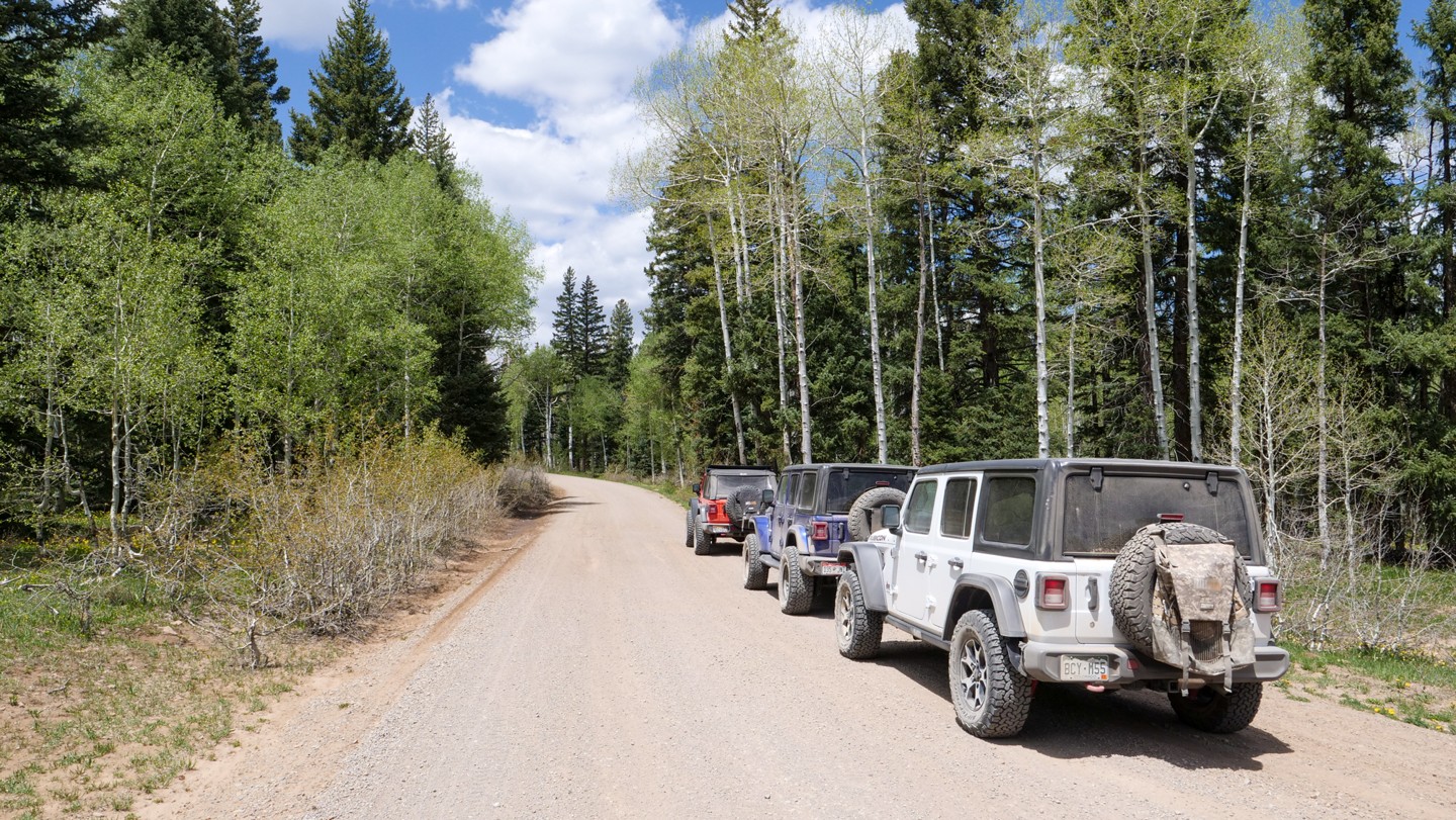
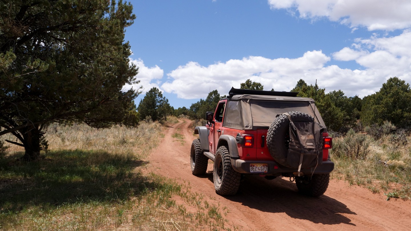
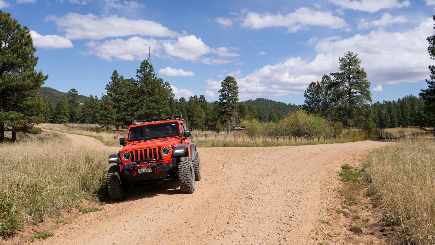
This trail is an overlander's dream trail offering multi-day camping opportunities, scenic vistas, impressive flora/fauna (absolutely massive swaths of Aspen stands), and a multitude of ever-changing biomes and landscapes. This trail is definitely one to take your time on, soak up the glorious sights and sounds, and make some new incredible memories. Whether you are brand new to overlanding or a seasoned wheeler, this trail has something for everybody. Don't forget the camera!
Trail Difficulty and Assessment
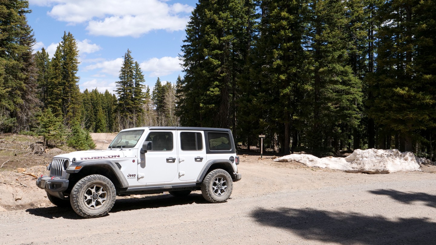
Recommended Vehicle:
Stock SUV with High Clearance and 4 Low
Concerns:
Summary:
This is a long trail through many different terrains. The first 50 miles of the trail is graded gravel road suitable for most vehicles.
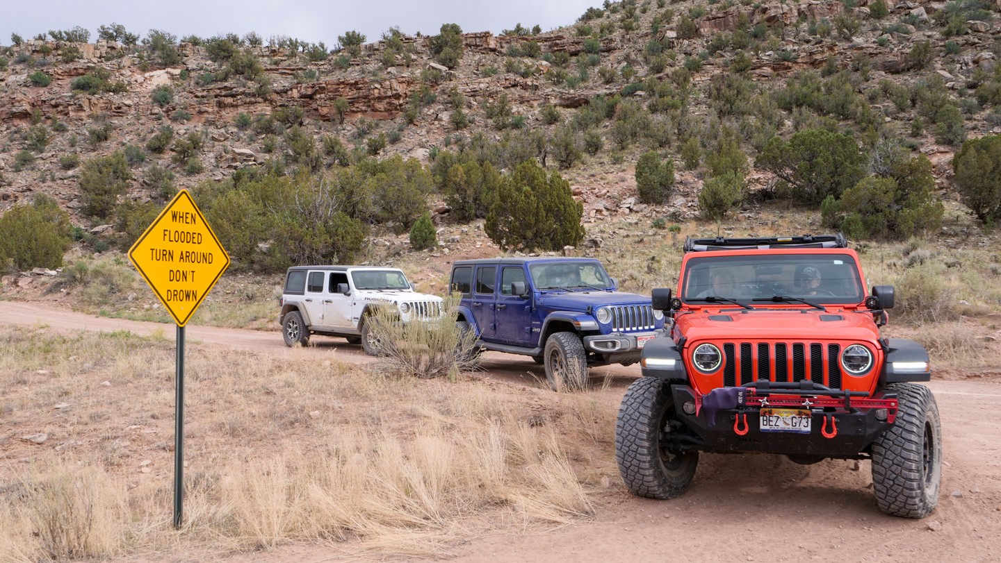
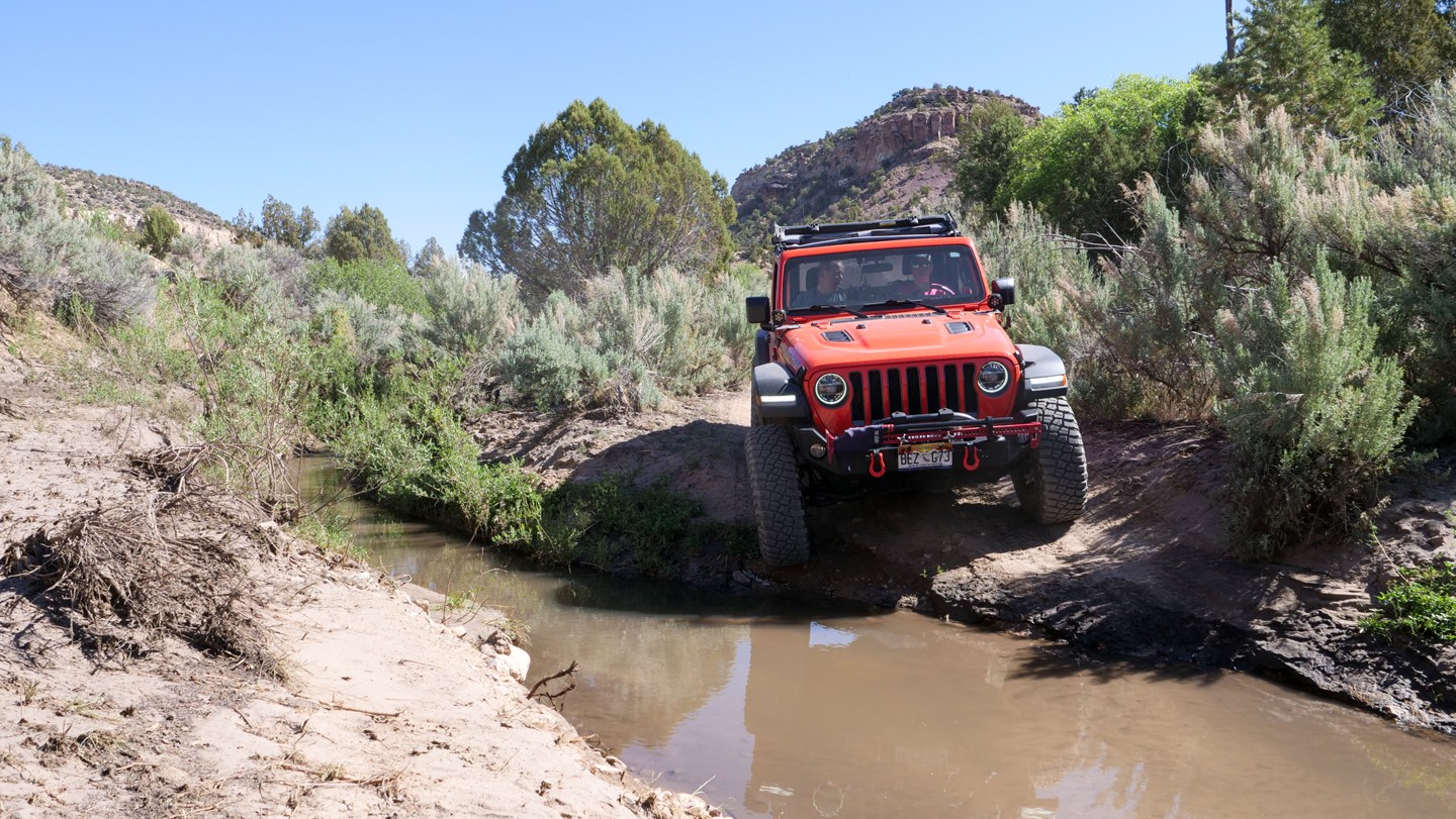
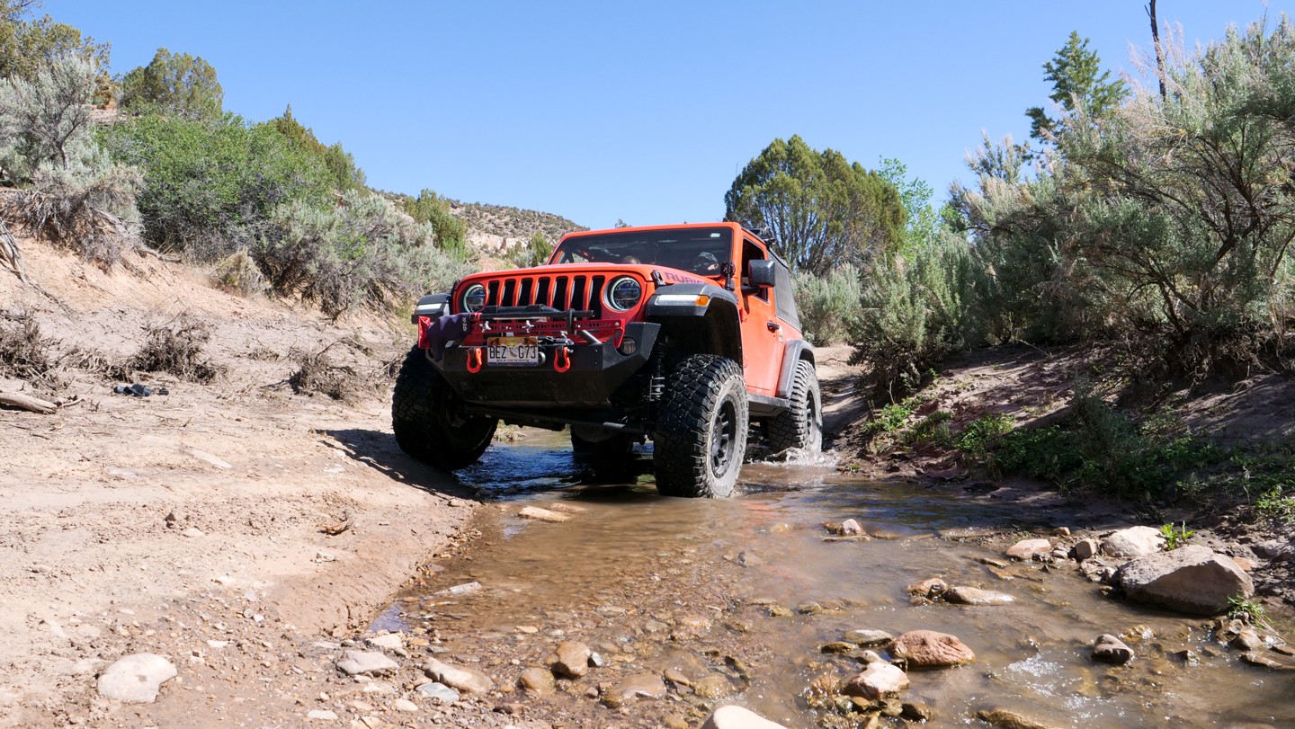
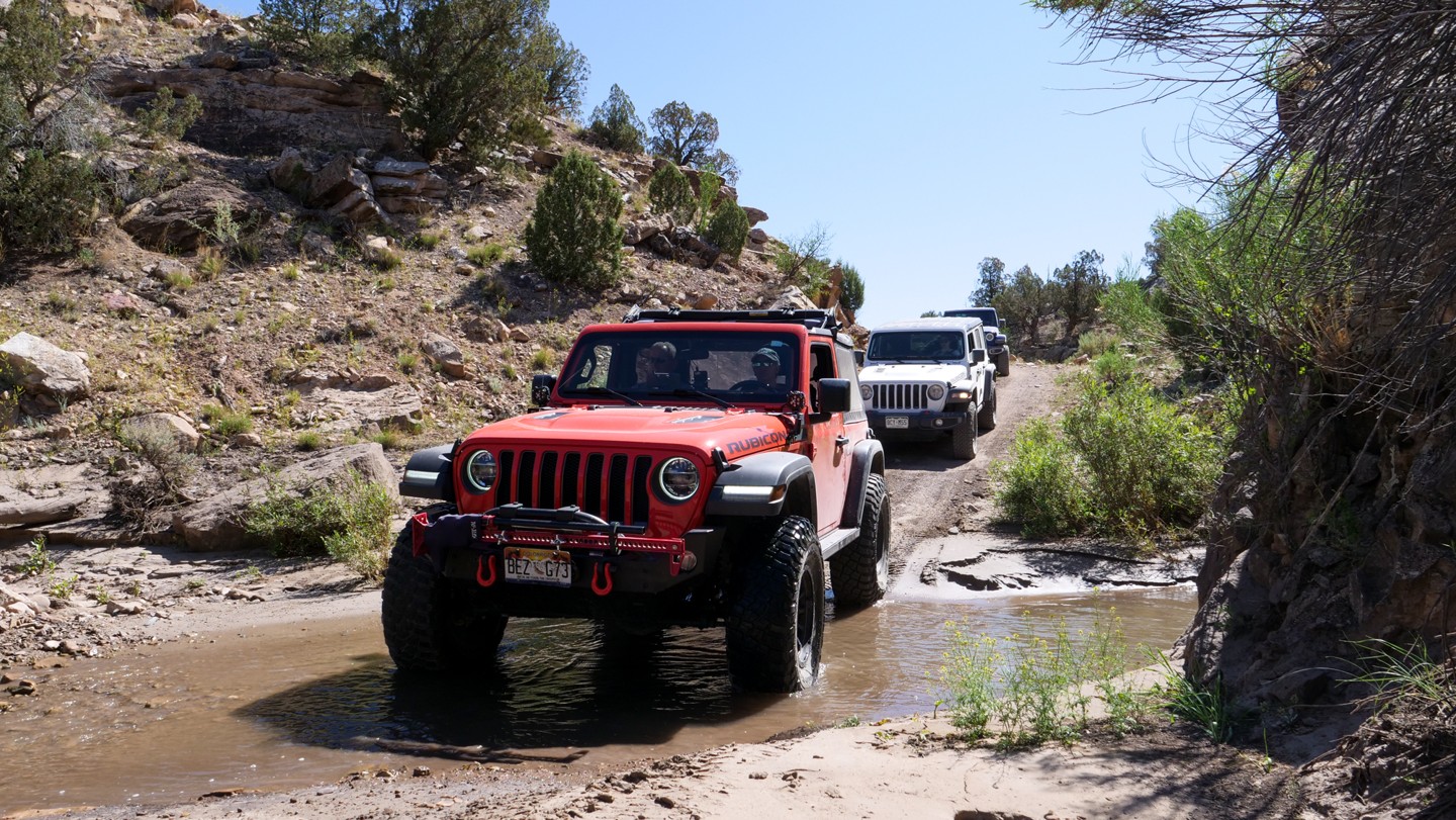
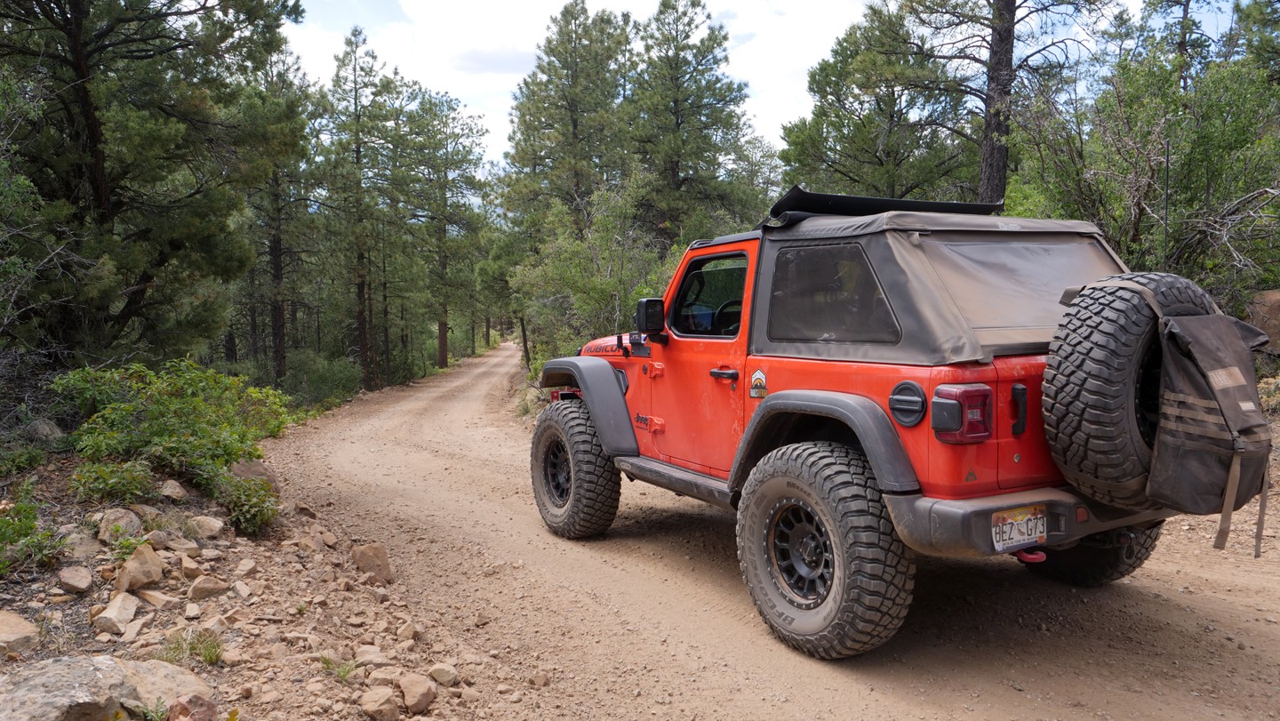
After Nucla, CO, the trail becomes rocky with some steep climbs and descents. Rocks are generally less than 6" with a few larger freestanding rocks scattered throughout the trail. The water crossing at the Tabeguache Creek can be 12-24" deep depending on the season.
Between Waypoints 59 and 63, the trail becomes a rough and rocky two-track. There are limited areas to pull over for oncoming traffic. The trees and shrubs are close-in on the trail and will brush along one or both sides of your vehicle. Some pin-striping is likely.
Community Consensus
4 votes
16 votes
0 votes
Easier
Spot On
Harder
The weighted average of your fellow members agreement of our trail rating. As trail conditions change this helps us keep the community aware of changes.
Mandatory
3 -
MODERATE
The hardest part of the trail that you
cannot bypass - you have to drive it.
Optional
3 -
MODERATE
The hardest part of the trail that is
purely optional - you can bypass it.
Typically, more rock or undulated road surface. Potential rocks and/or tree stumps less than 12" tall and/or vertical ledges less than 12" tall and/or near vertical ledges or waterfalls less than 24" inches. Tire placement becomes more difficult. Can be steep. Read More about our Rating System
Start your next adventure on Rimrocker

Upgrade your Membership
Unlock all of the details on every Trail Guide and Scout Route.
Start a 7-day Free TrialUploading to Gaia GPS
Share Trail
Trail Navigation
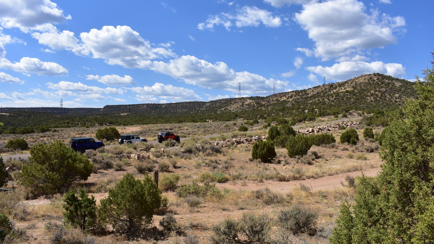
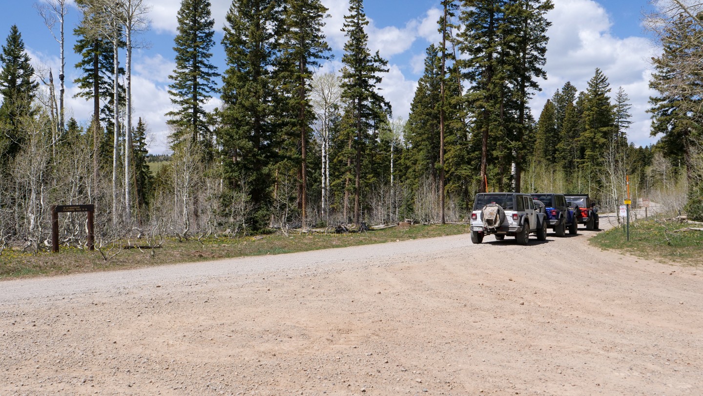
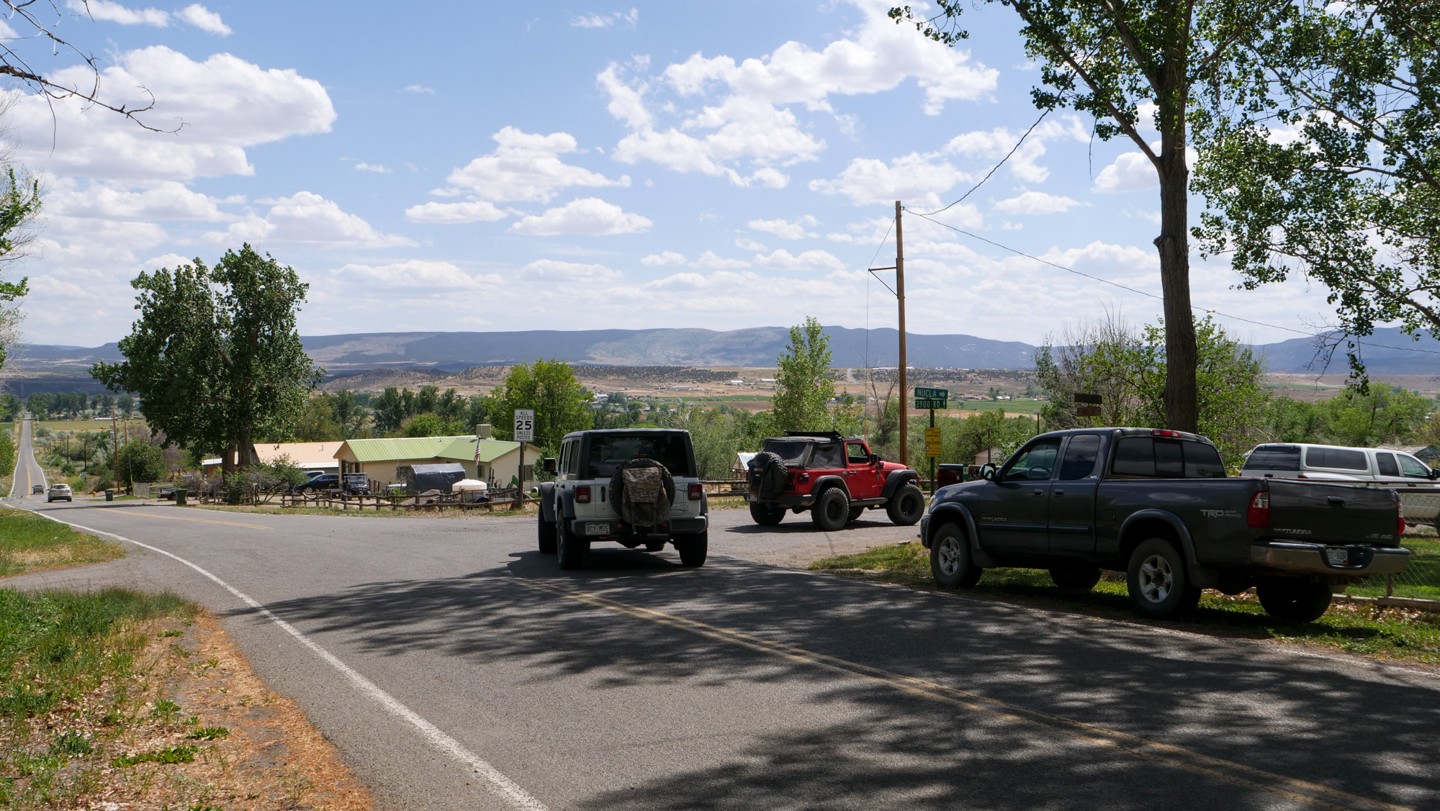
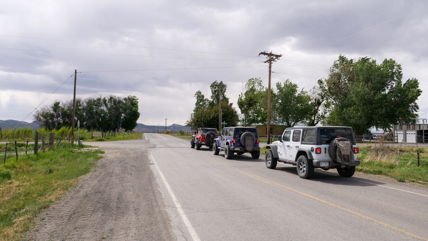
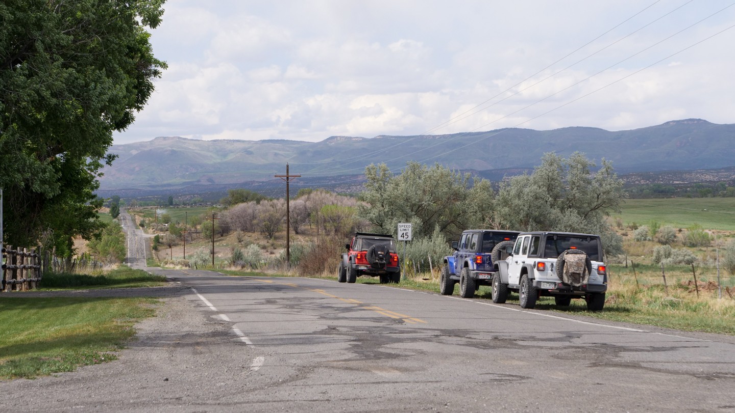
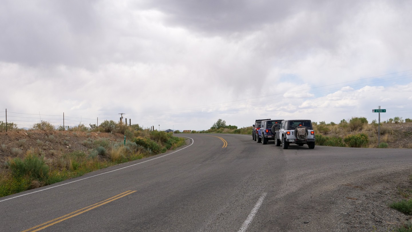
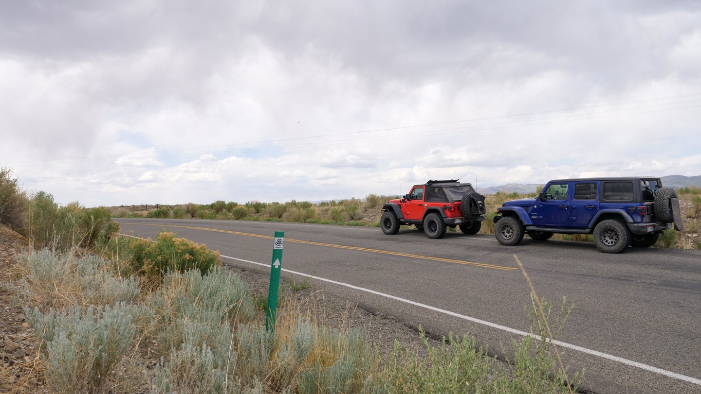
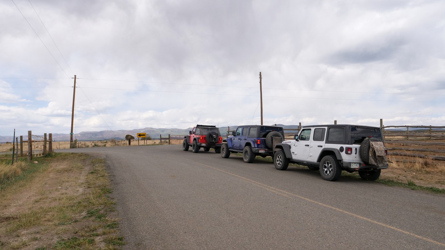
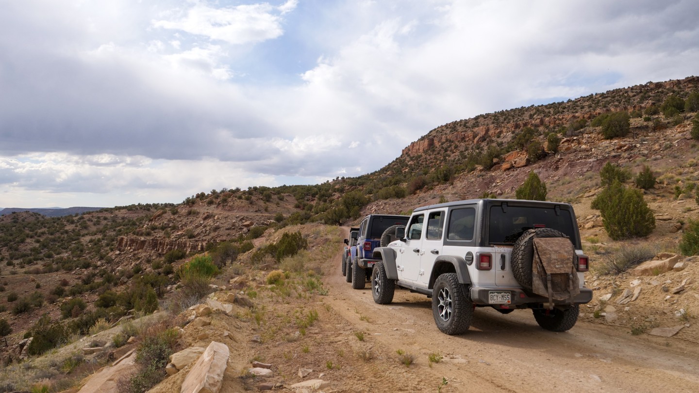
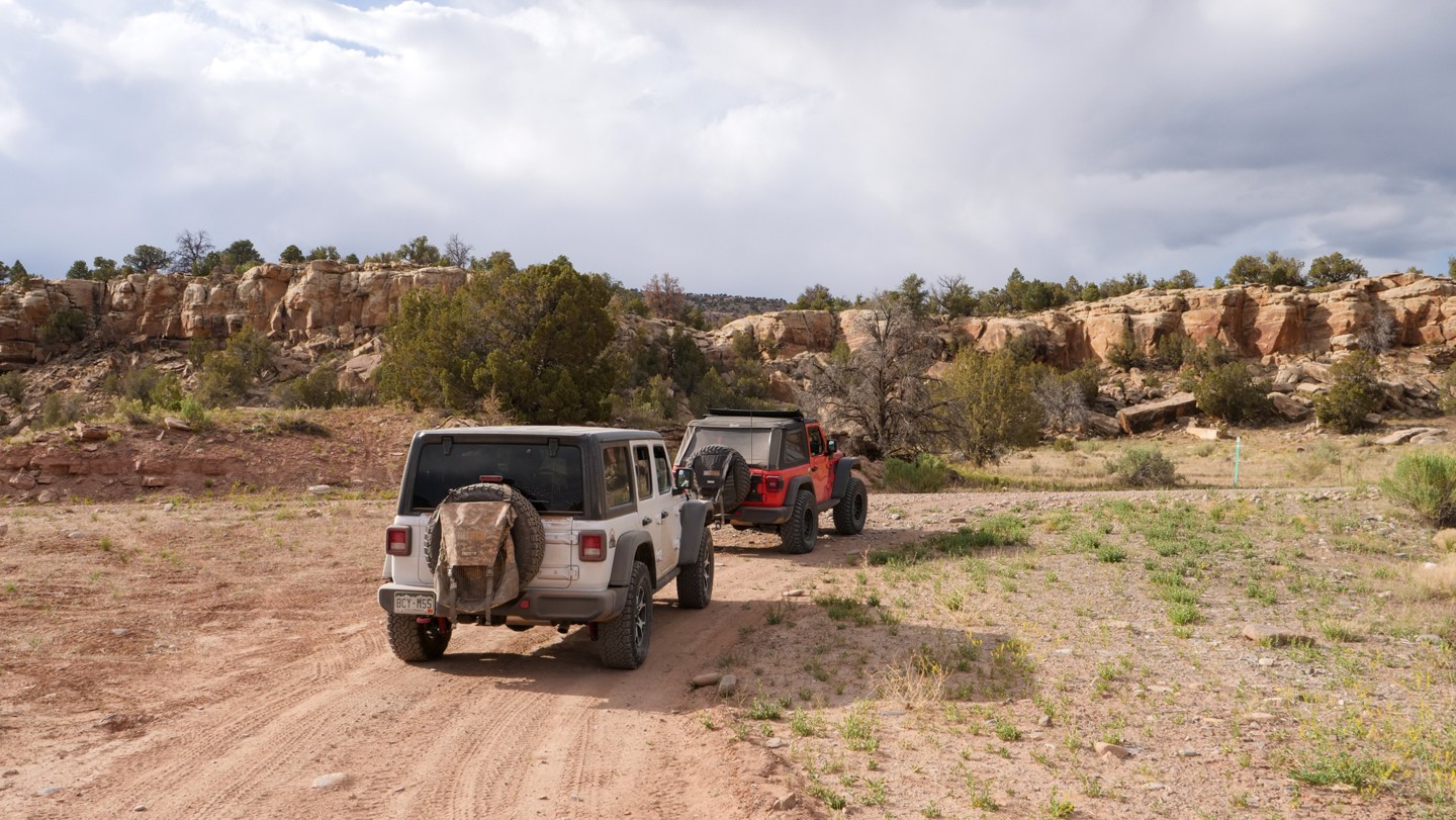
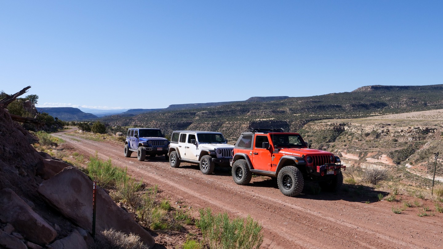
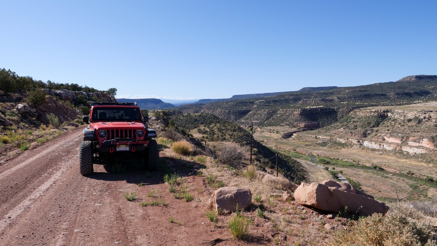
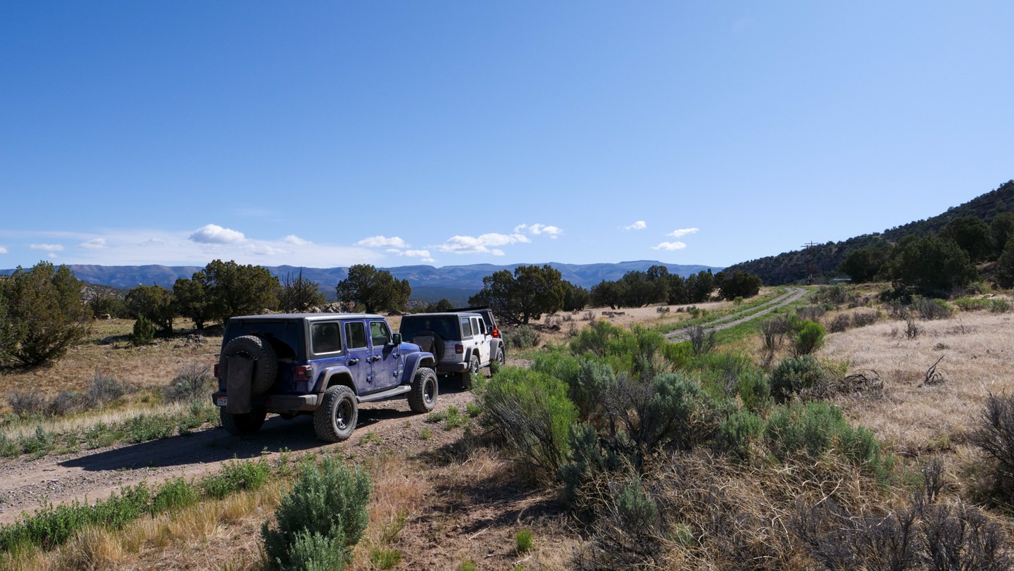
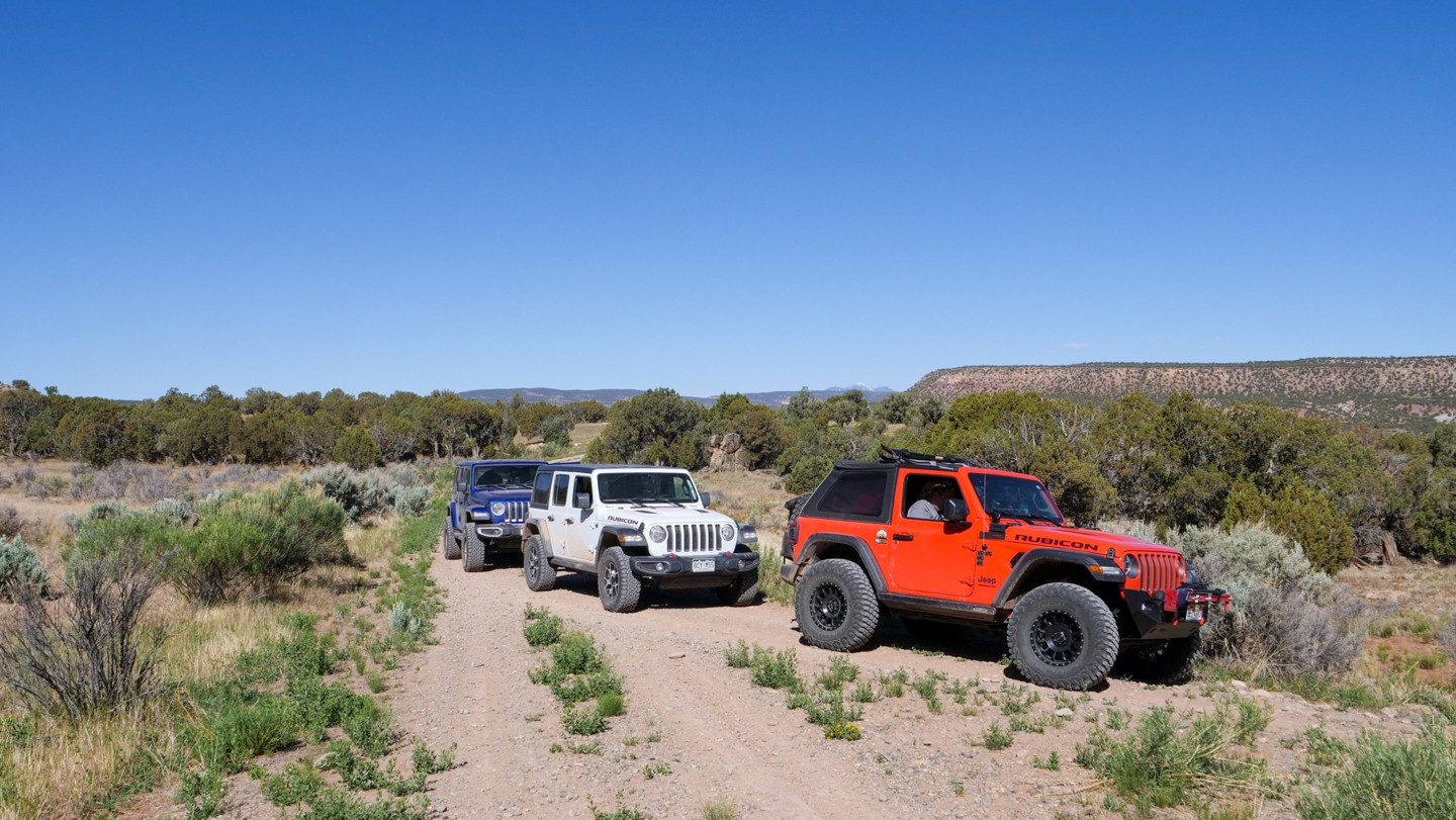
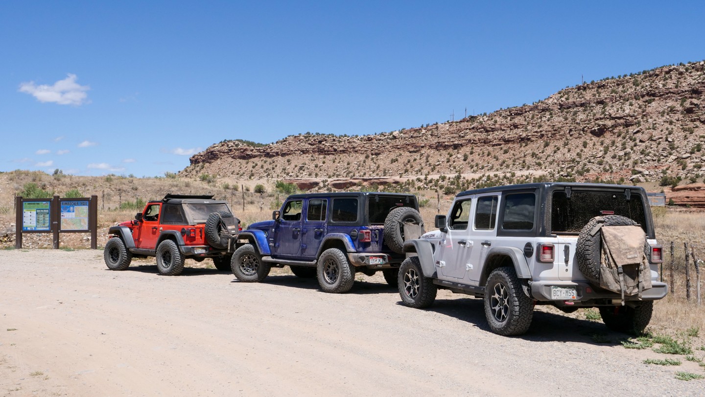
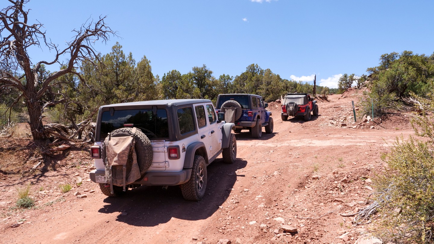
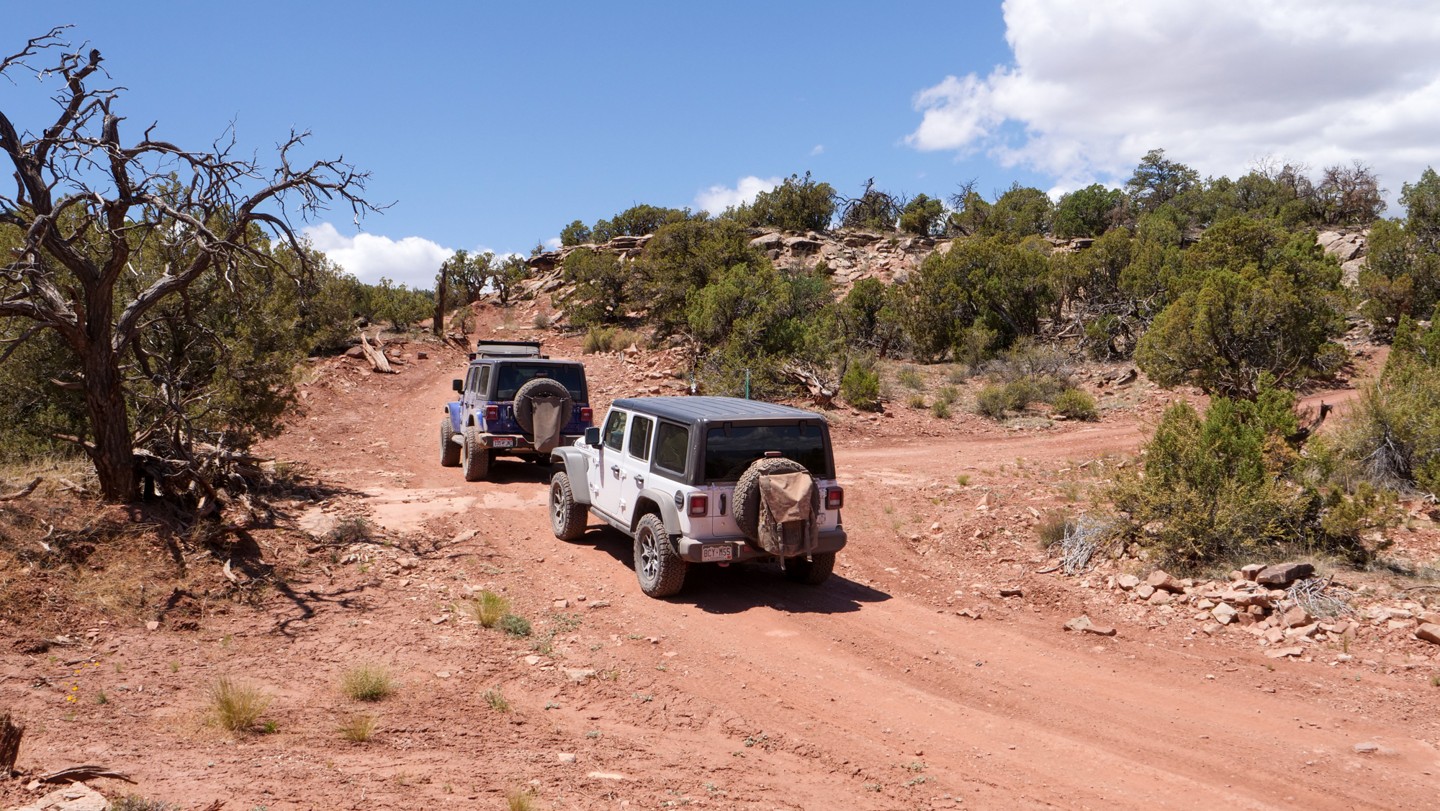
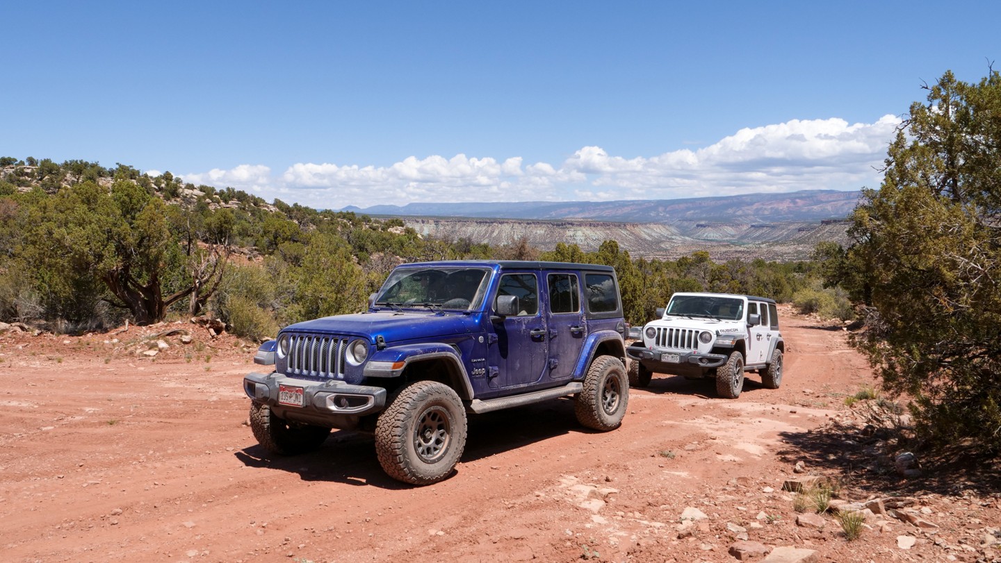
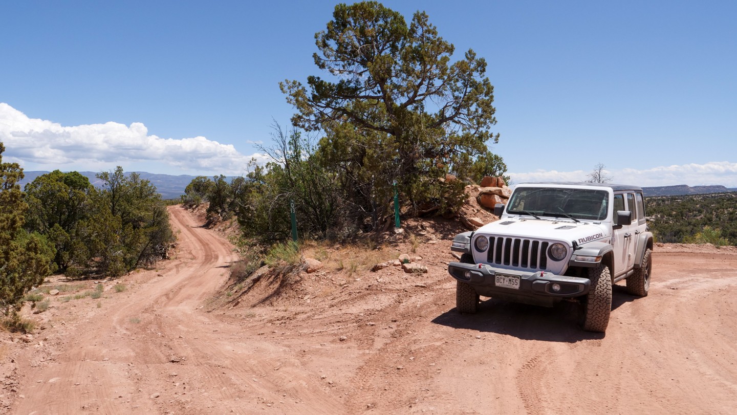
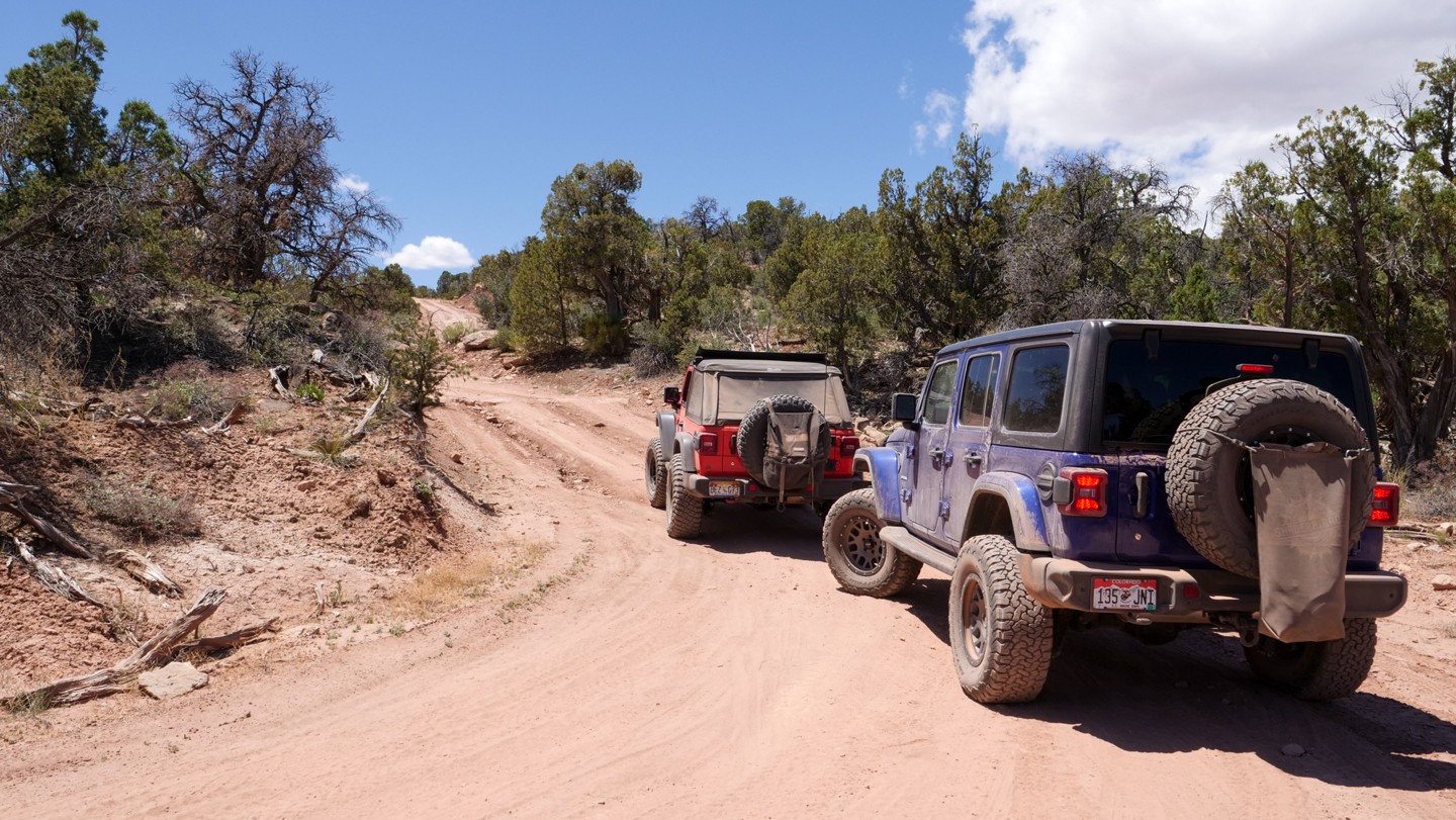
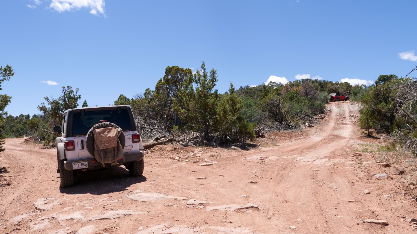
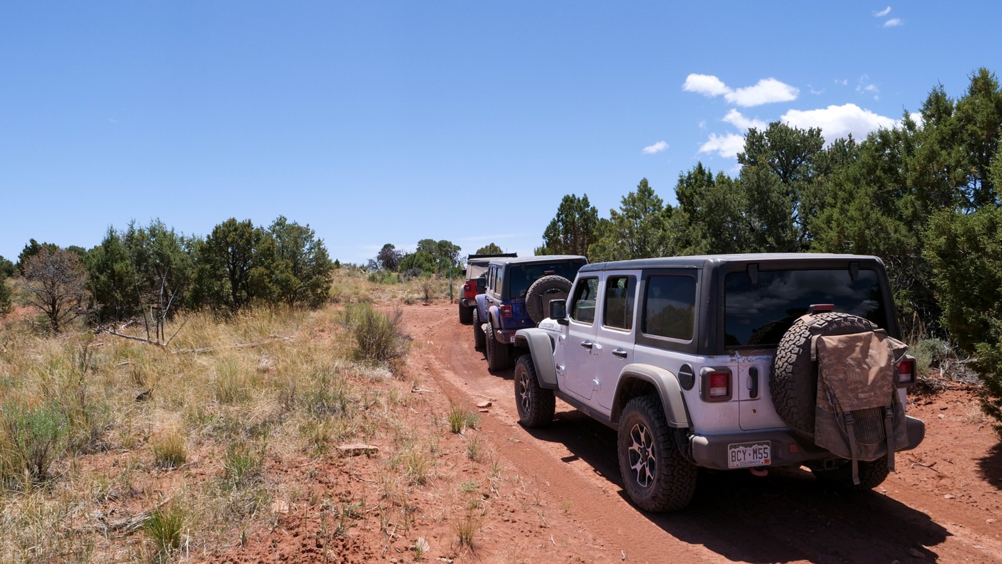
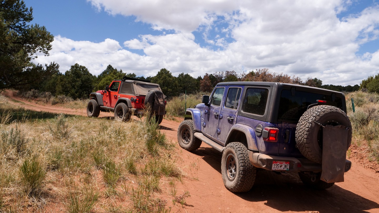
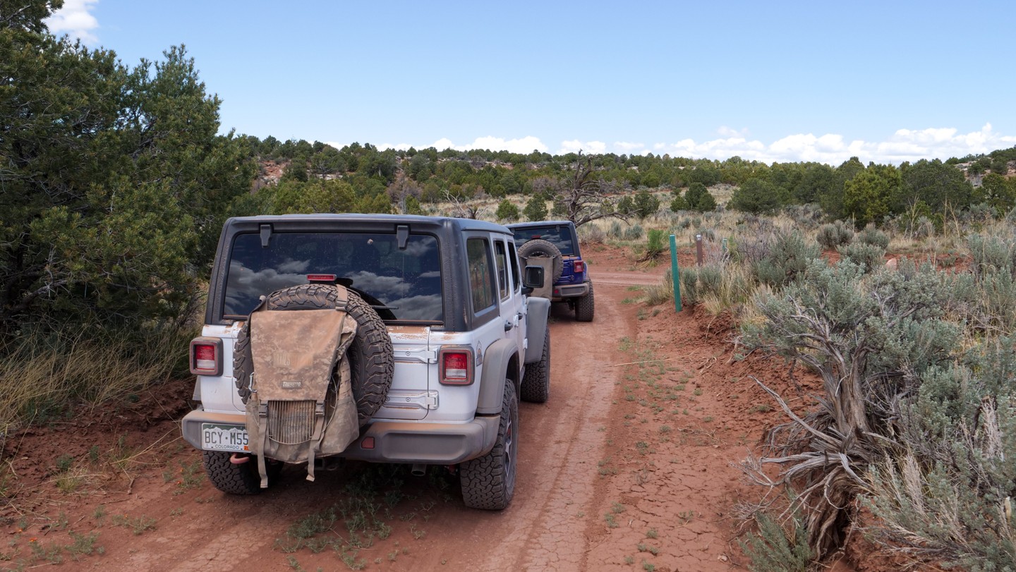
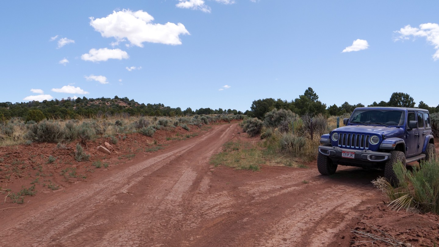
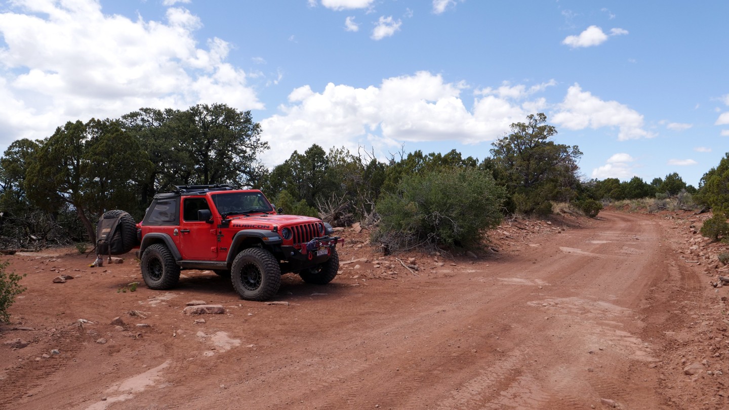
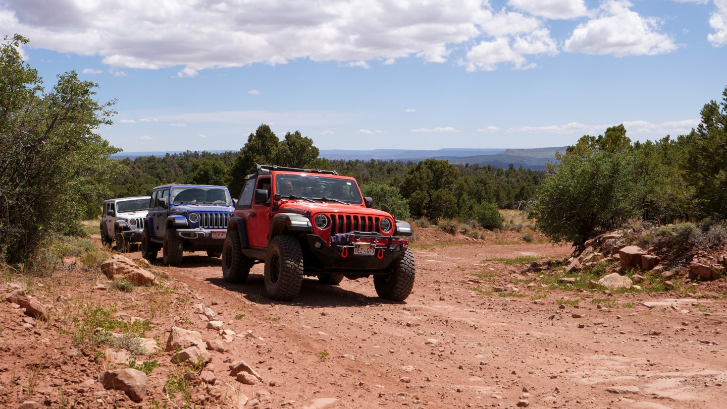
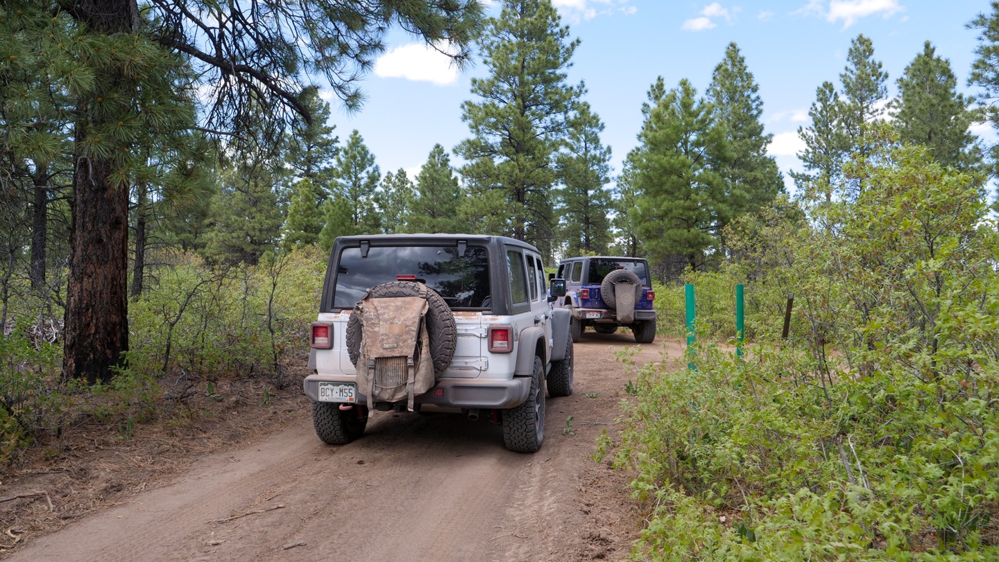
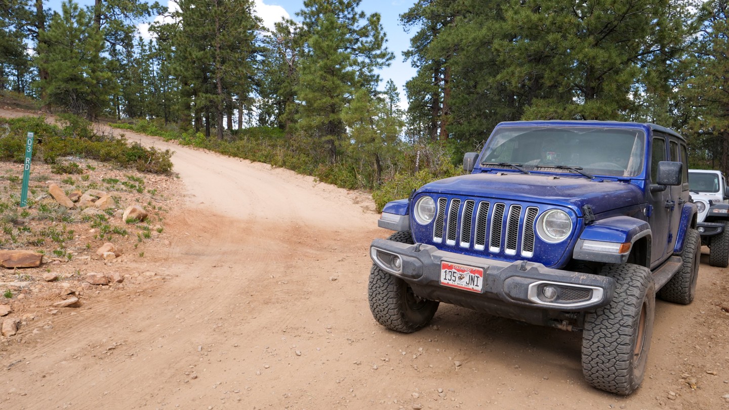
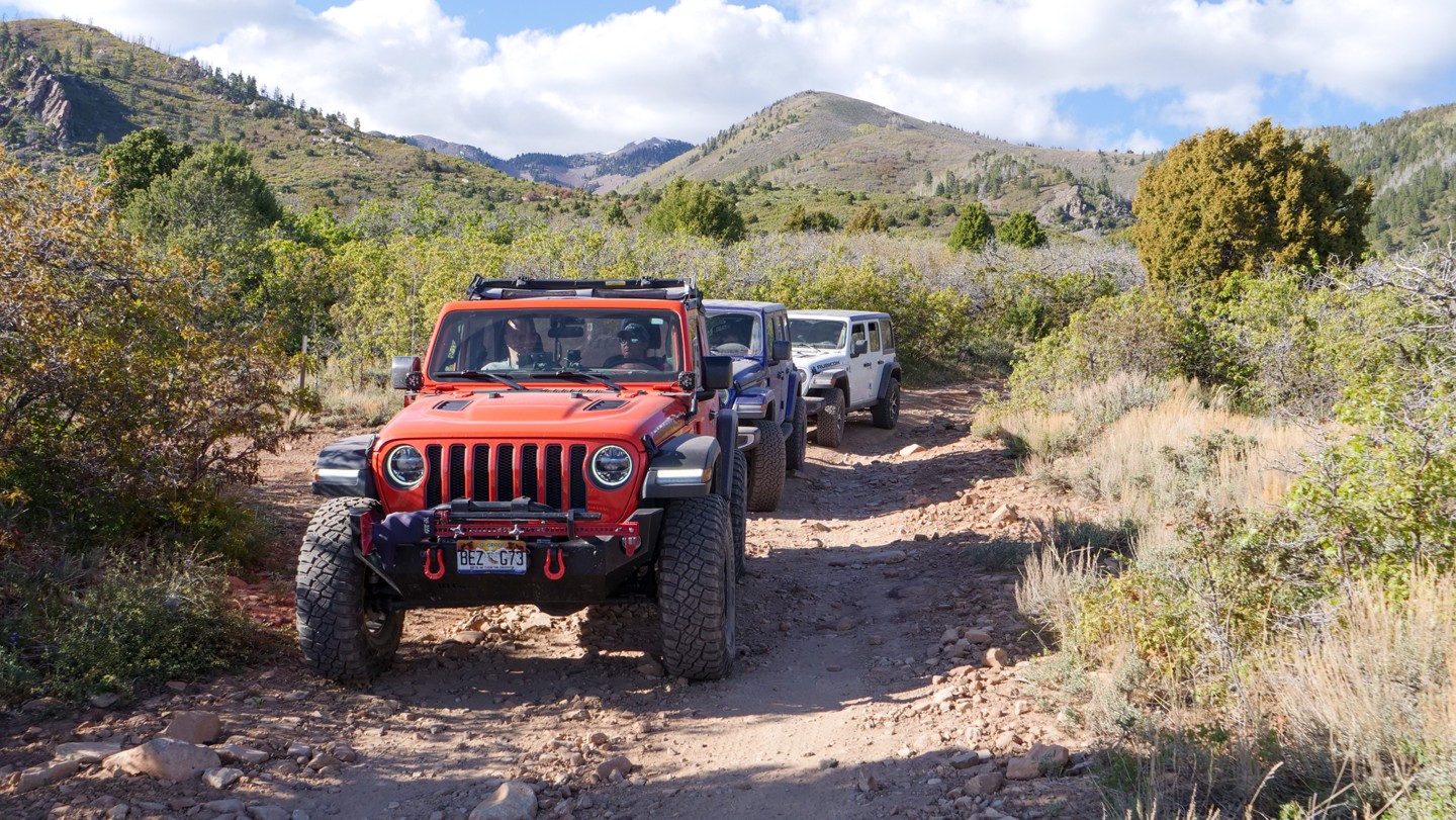
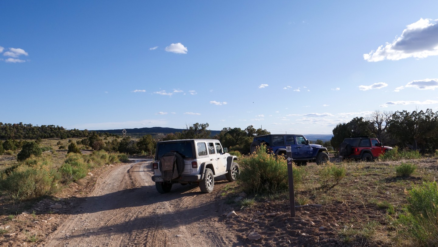
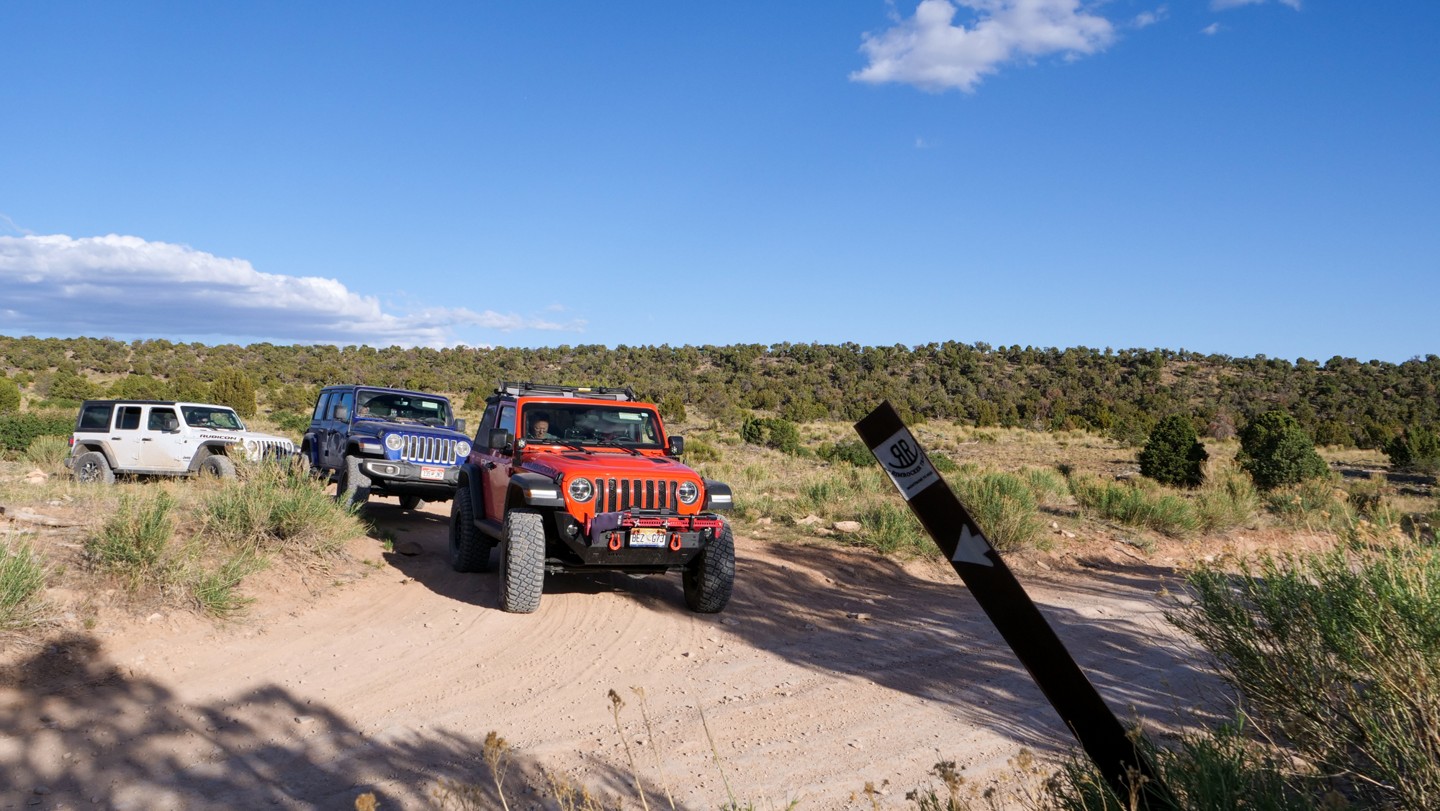
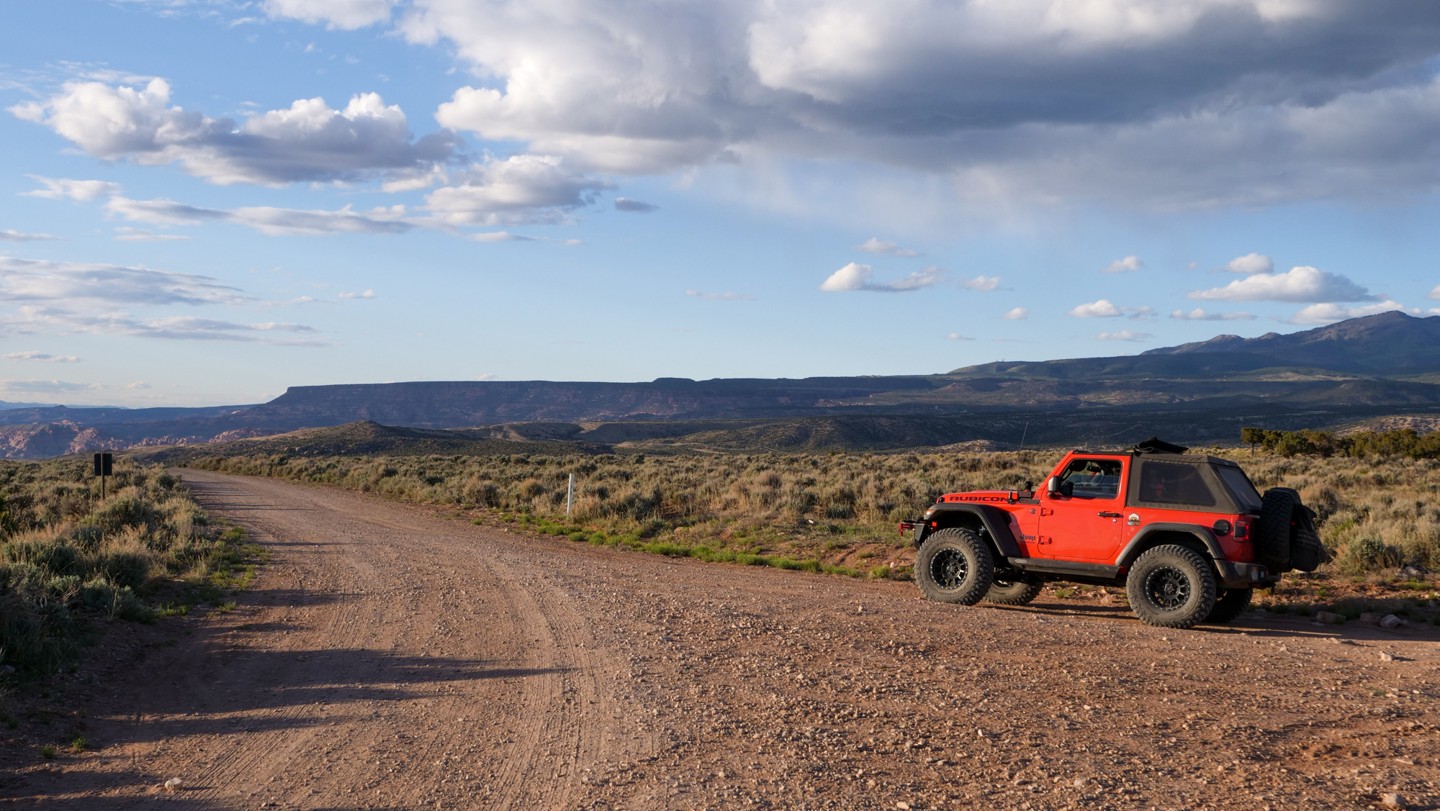
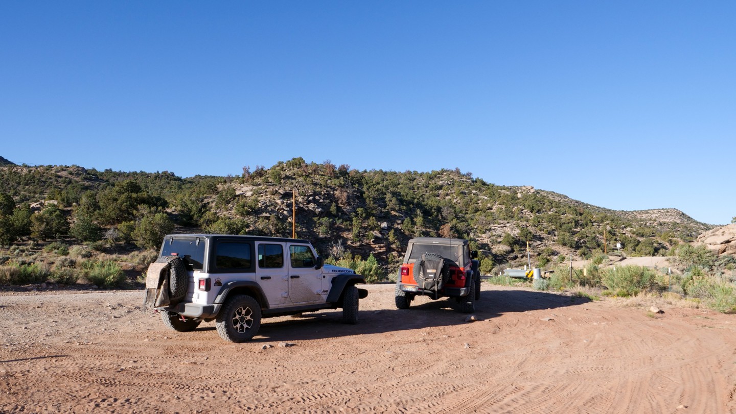
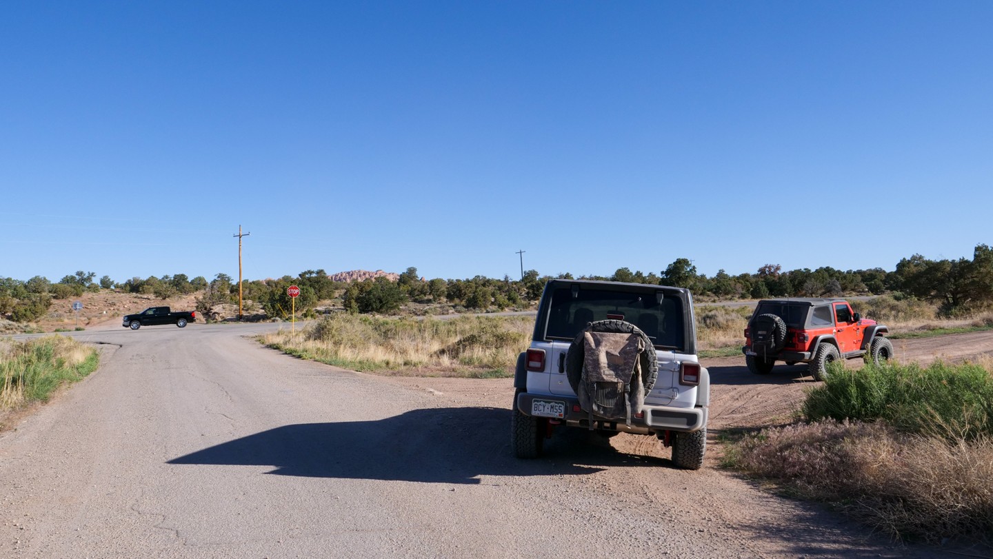
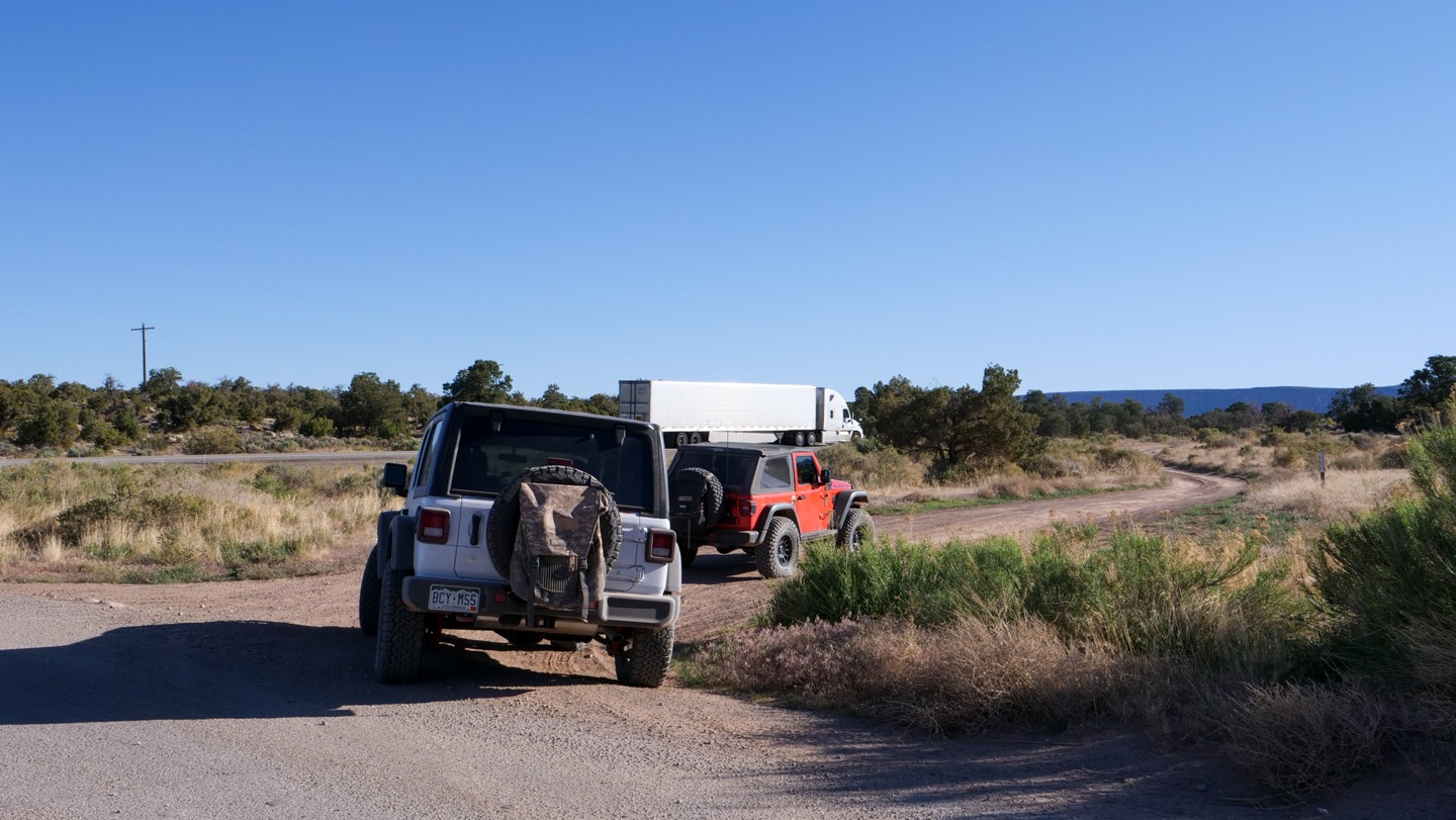
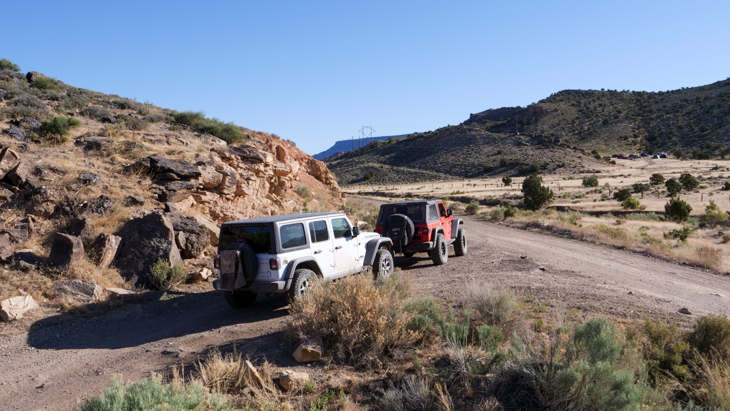
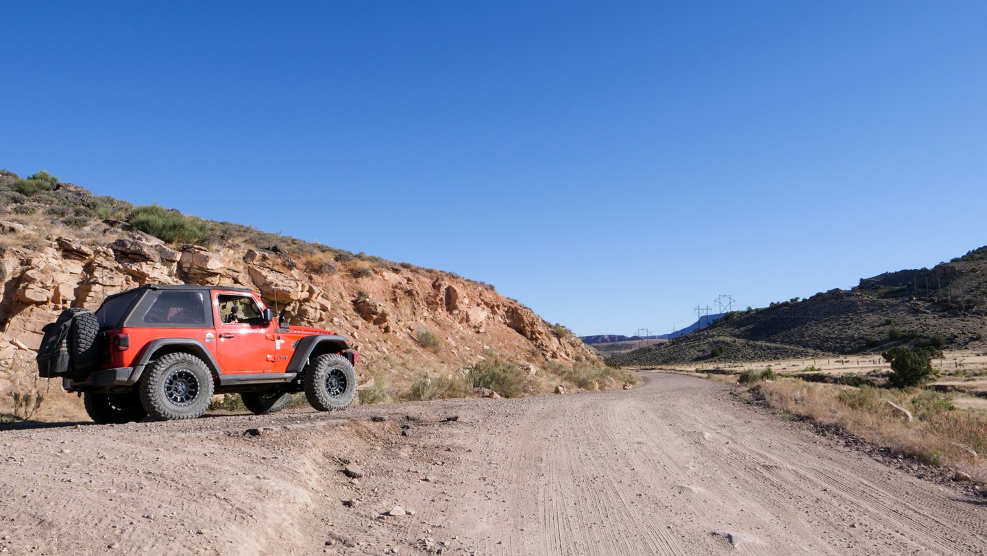
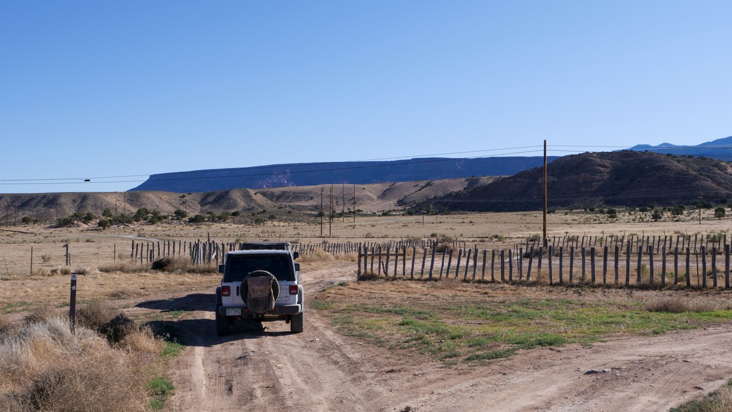
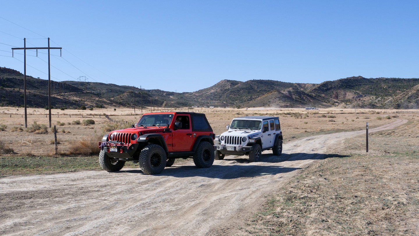
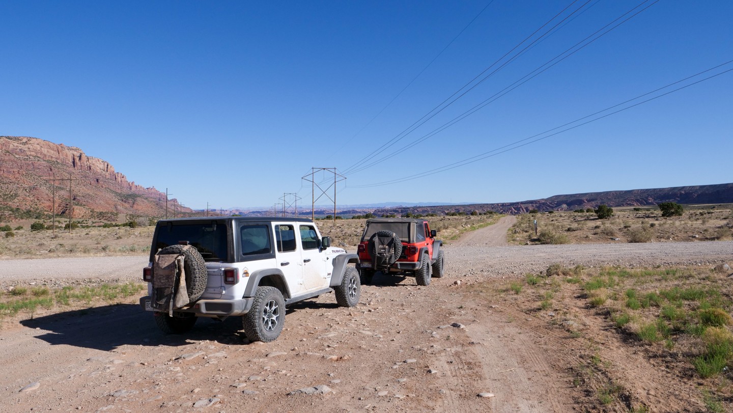
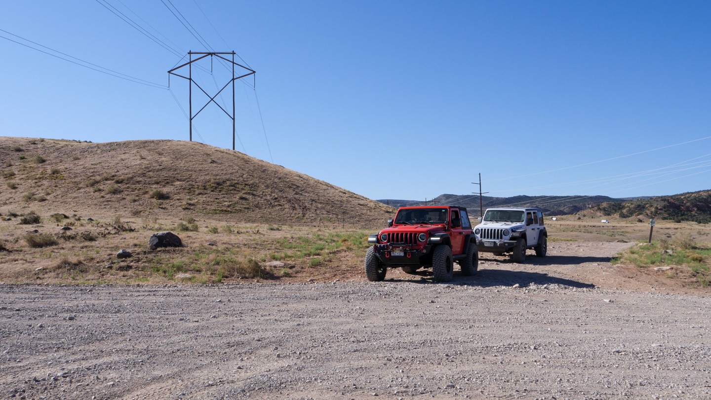
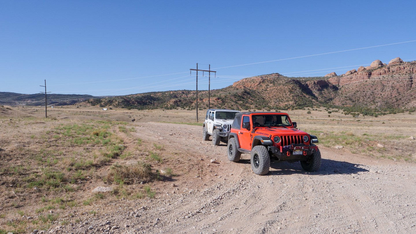
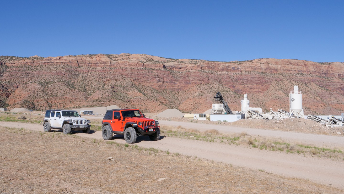
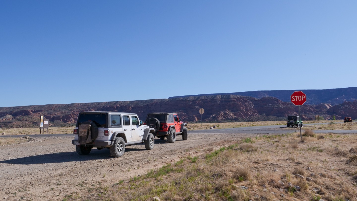
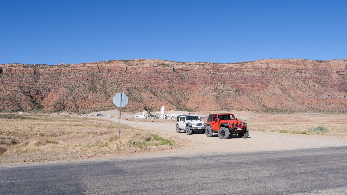
The Rimrocker Trail is a 160-mile trail that is an organization of mostly US Forest Service and BLM roads to form an off-pavement route that connects Montrose, Colorado to Moab, Utah. The road travels through high mountain forests, rocky, mining environments, and high desert terrain. The route can be divided up into four distinct parts as you progress through this classic off-road adventure.
Montrose, CO to Nucla, CO (Waypoints 1-21)
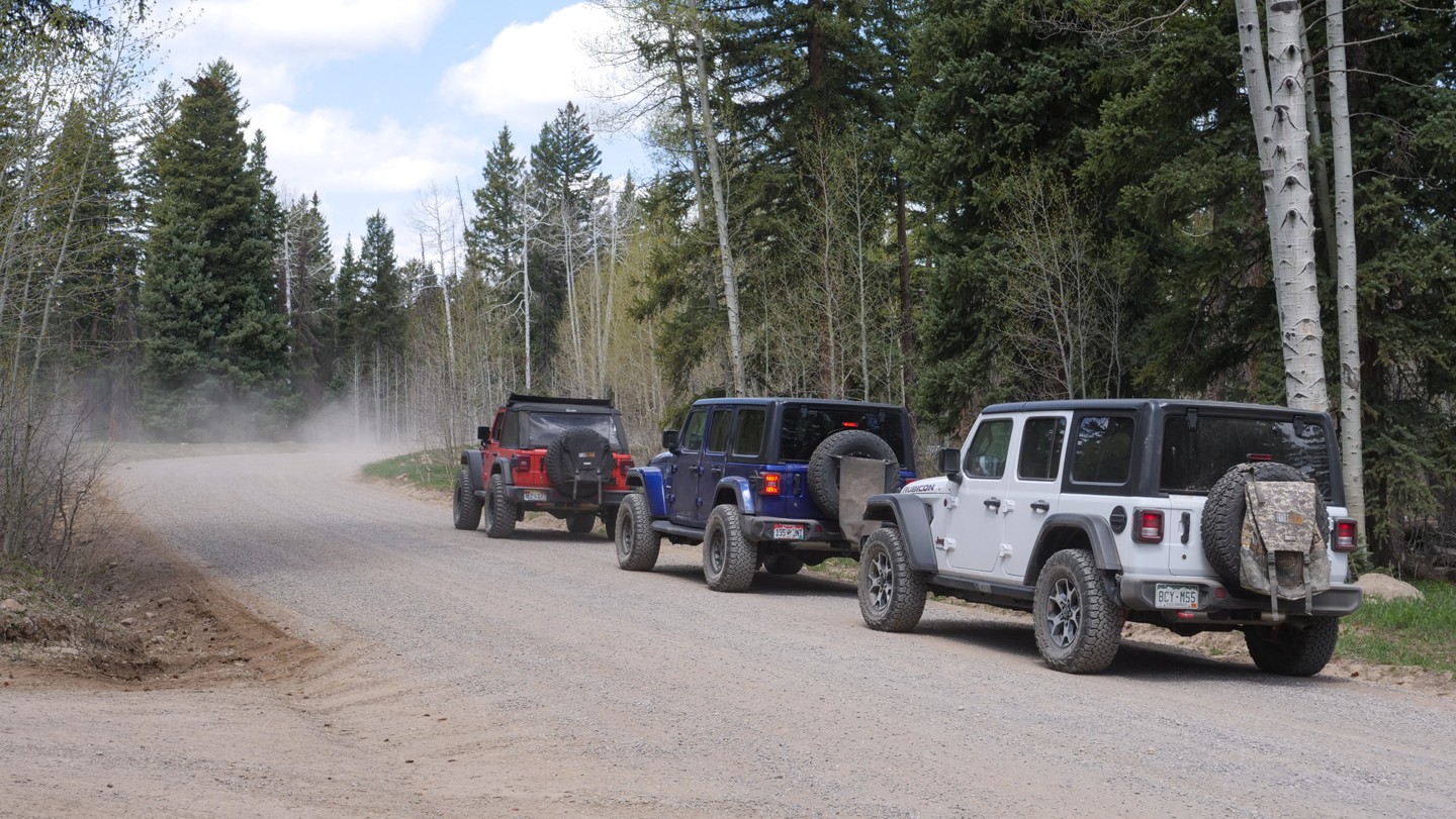
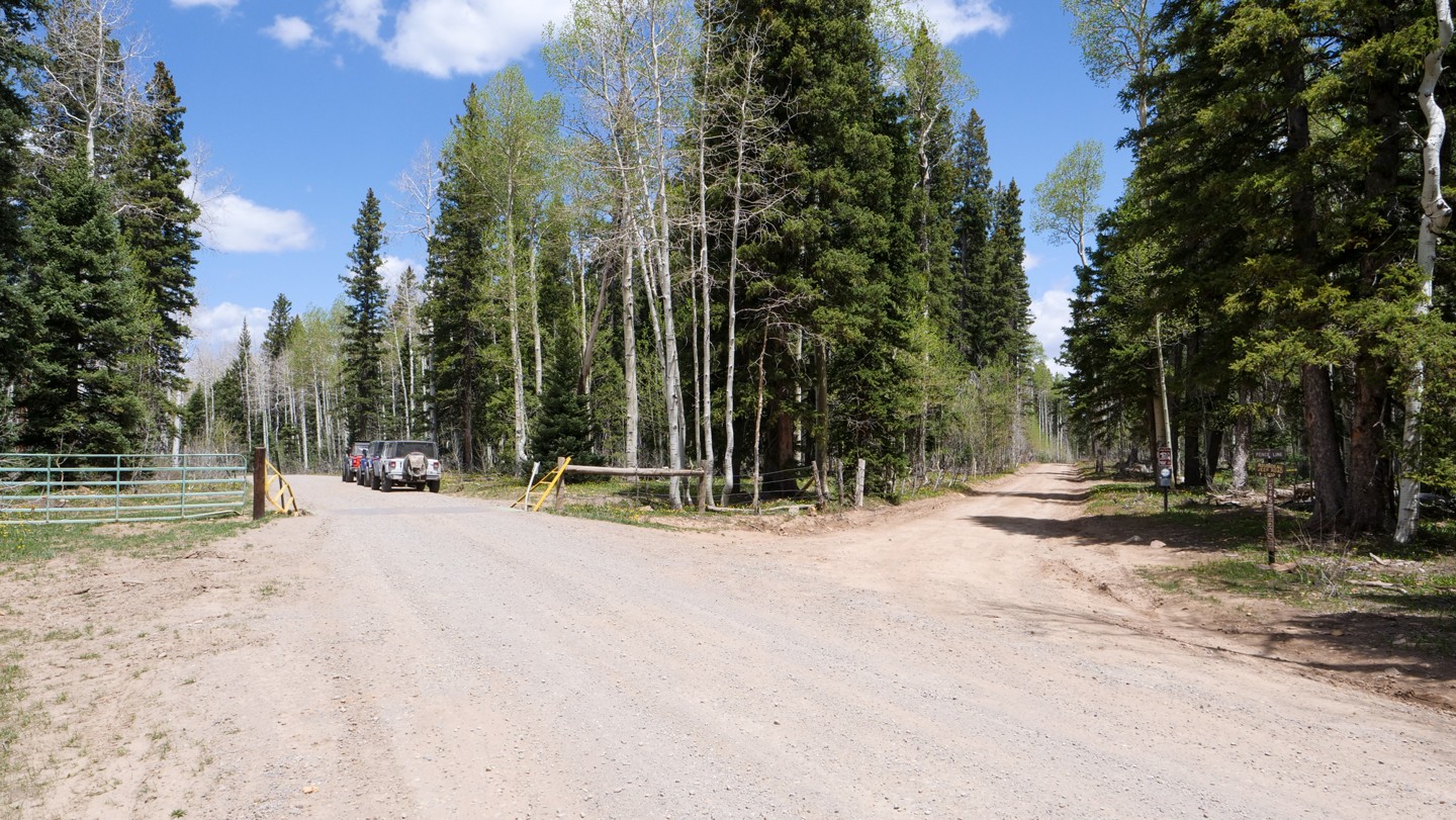
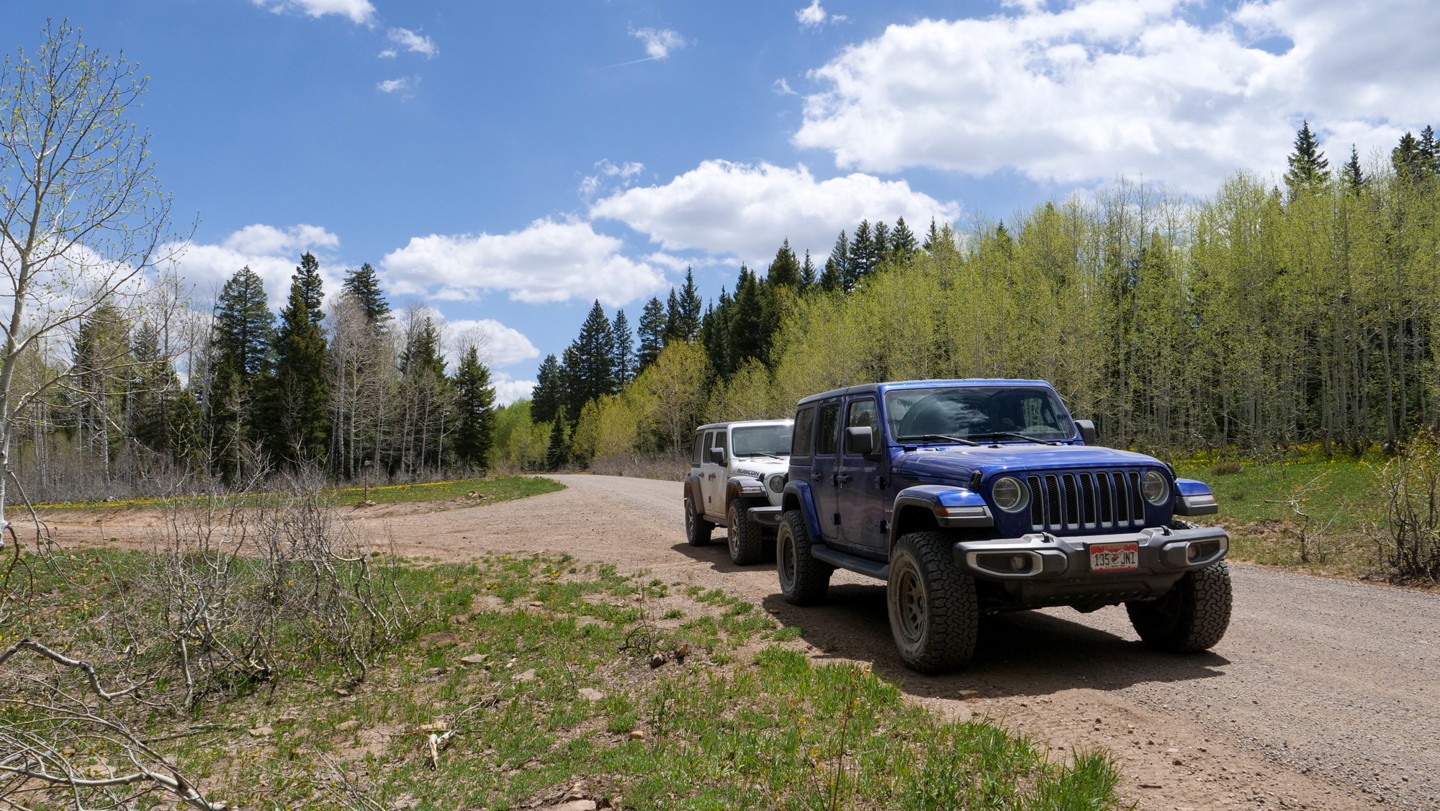
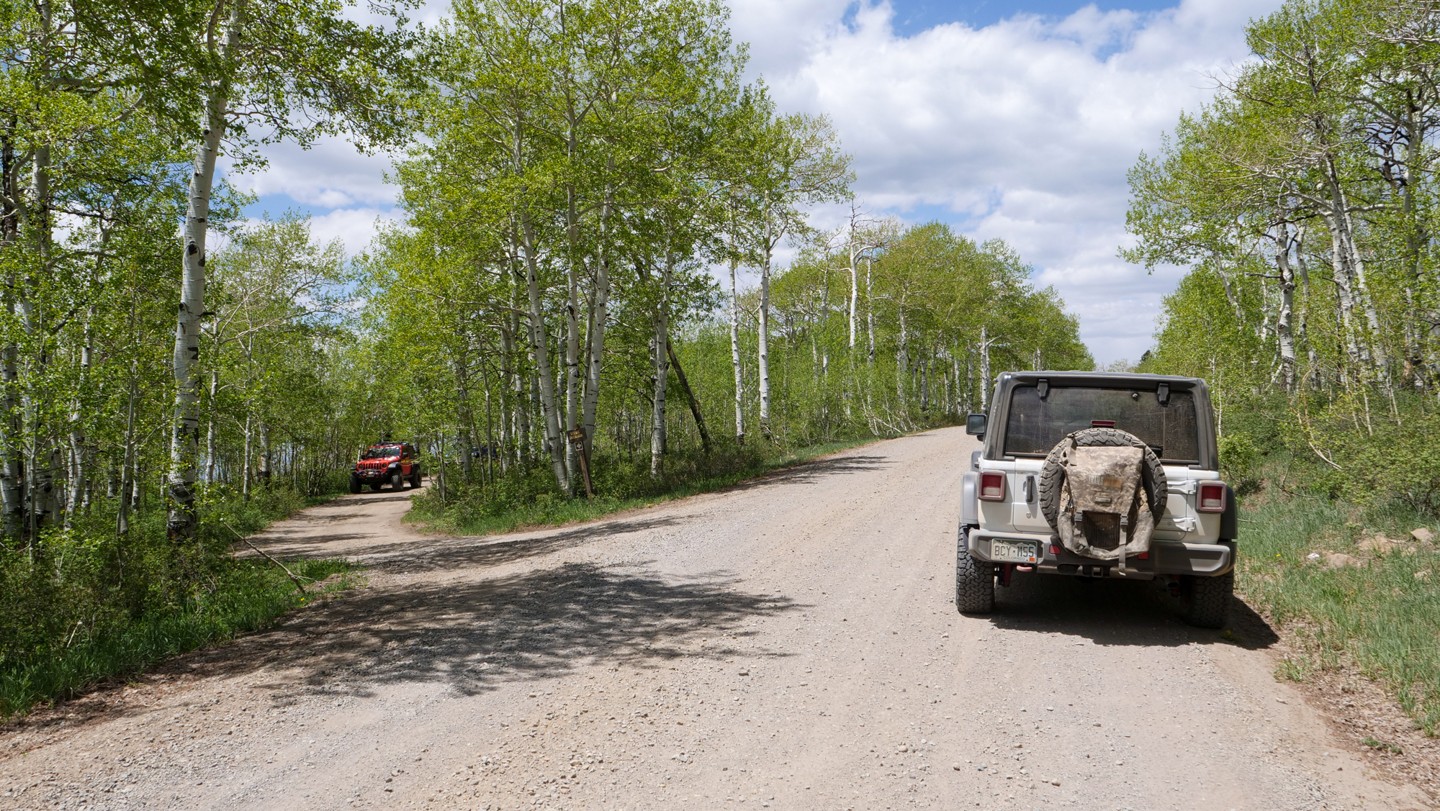
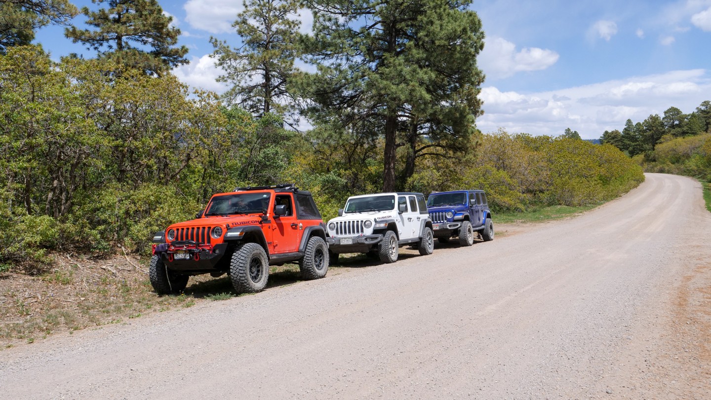
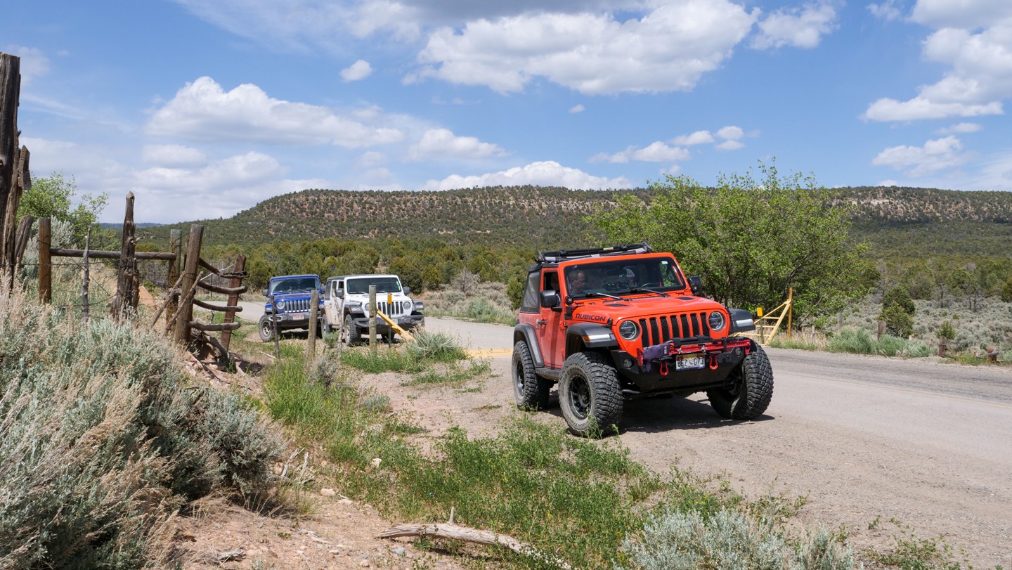
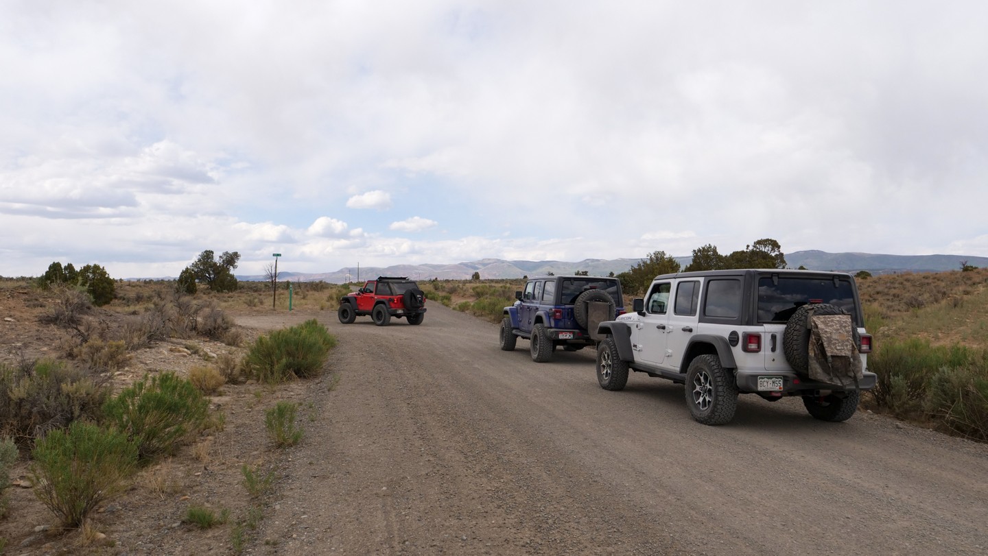
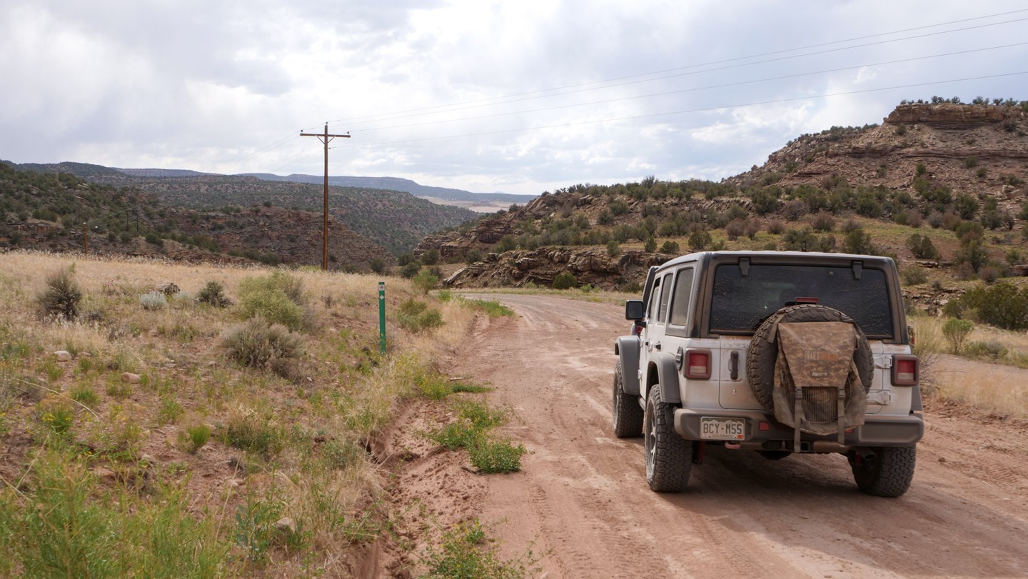
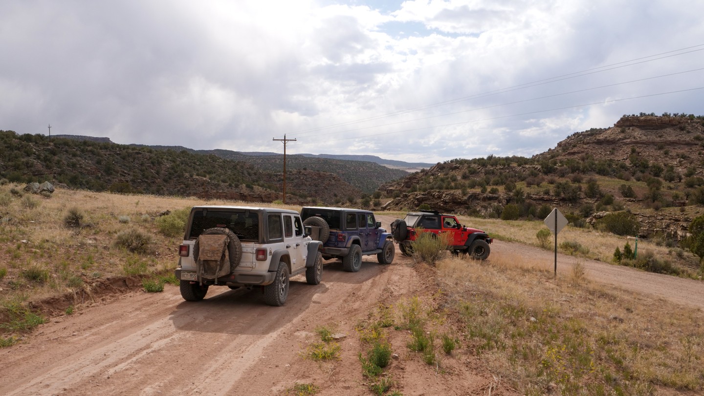
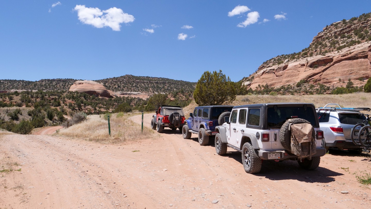
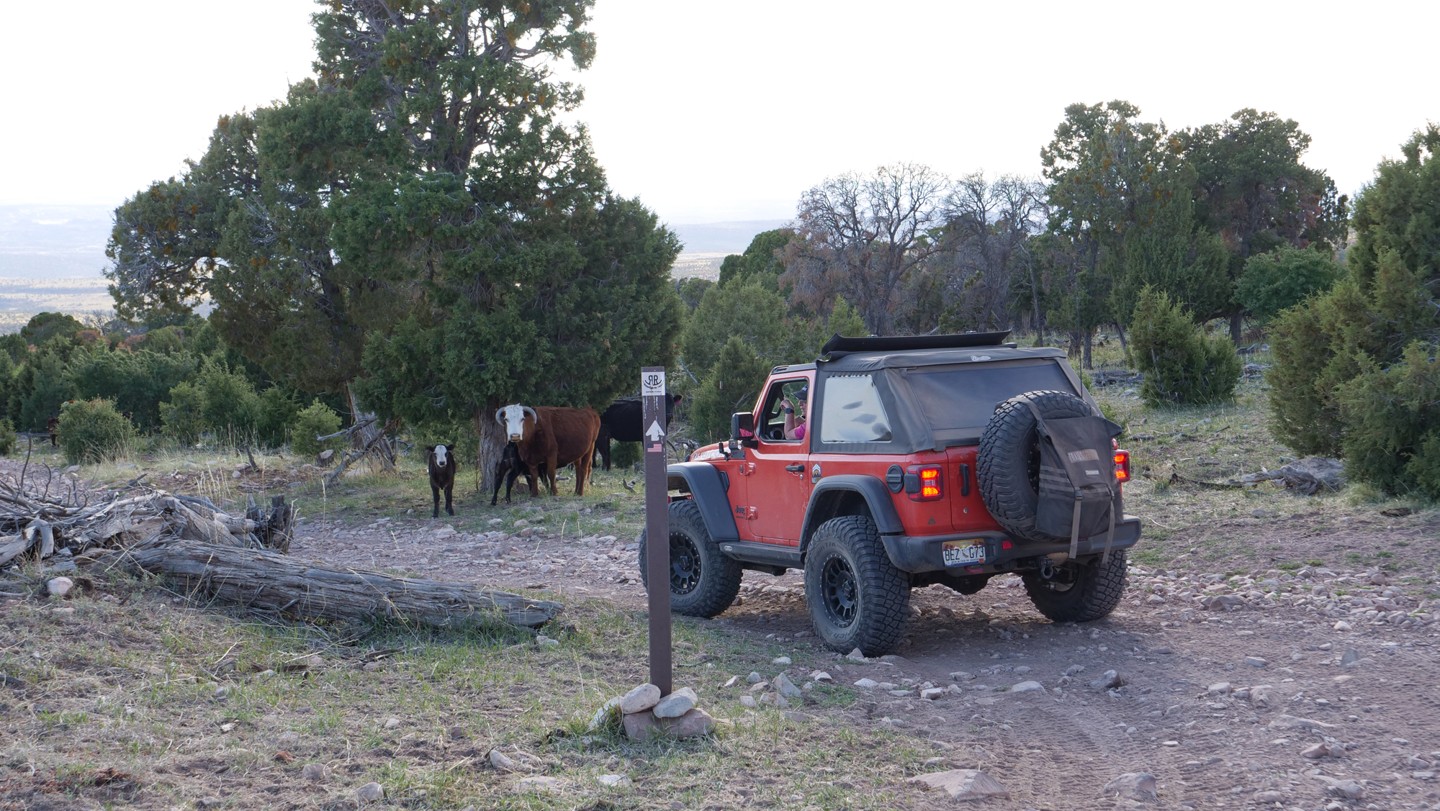
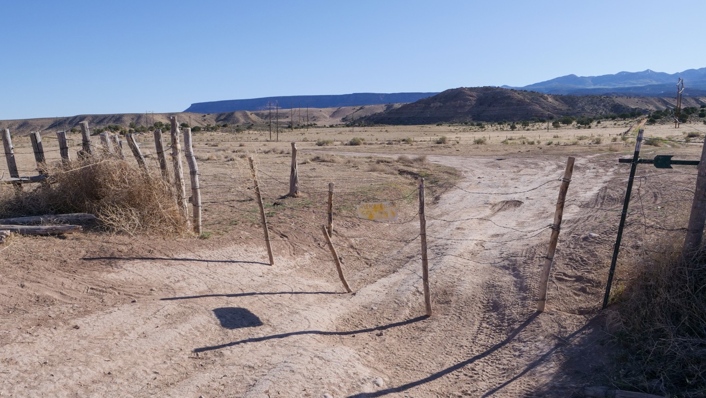
The first 59 miles proceeds through the Uncompahgre National Forest. Between Montrose and Nucla, CO, the roads that you travel are graded dirt and gravel roads, two-vehicles wide, that would be suitable for most vehicles. Rain and snow could make the roads slick or impassable at times. Along this segment, there are countless trail spurs on each side of the road. Logging trucks are active in this area so be alert for the trucks and machinery on the trail. The terrain is a forest with a variety of trees and many options for dispersed camping. During the fall season, the Uncompahgre National Forest is a popular hunting destination.
Nucla, CO to Manti-La Sal Forest (Waypoints 21-52)
Approaching Nucla, Colorado, you will move from dirt to pavement as you pass through the town and then revert back to dirt just west of the town. Nucla, CO will be the only spot along this entire trail when you will be able to pick up supplies and fuel.
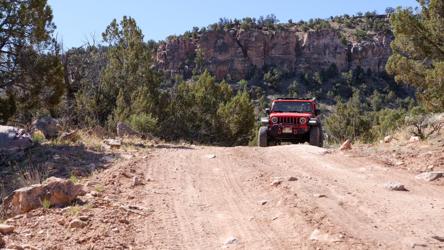
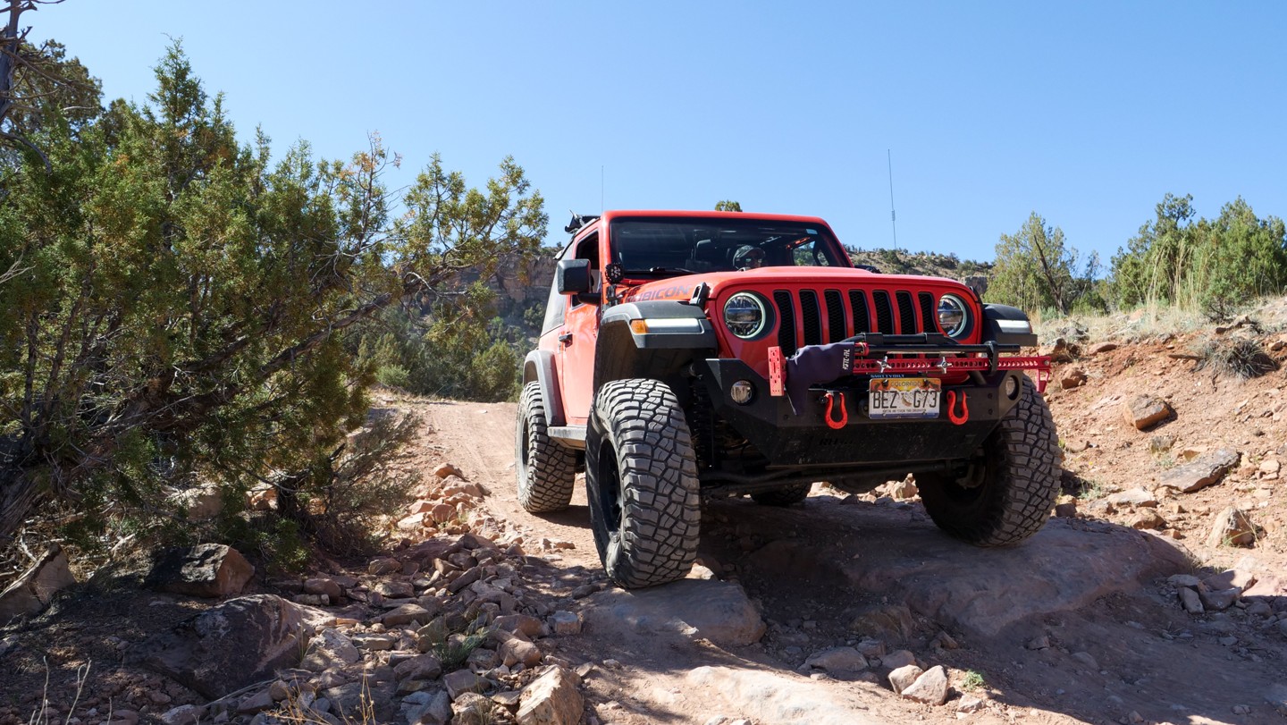
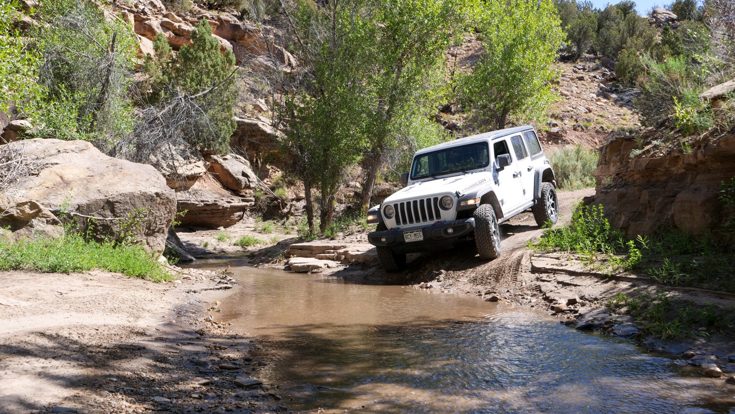
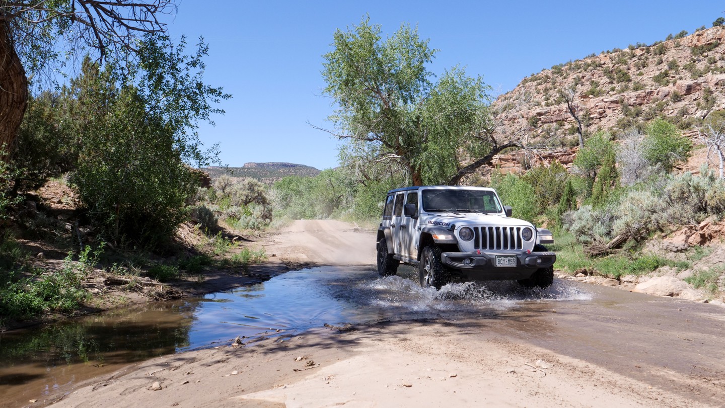
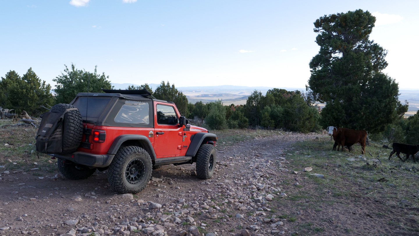
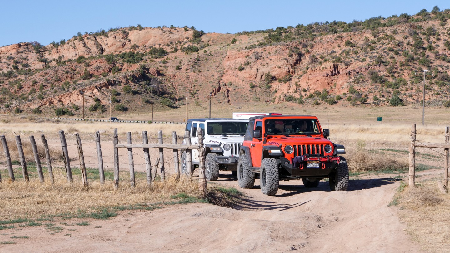
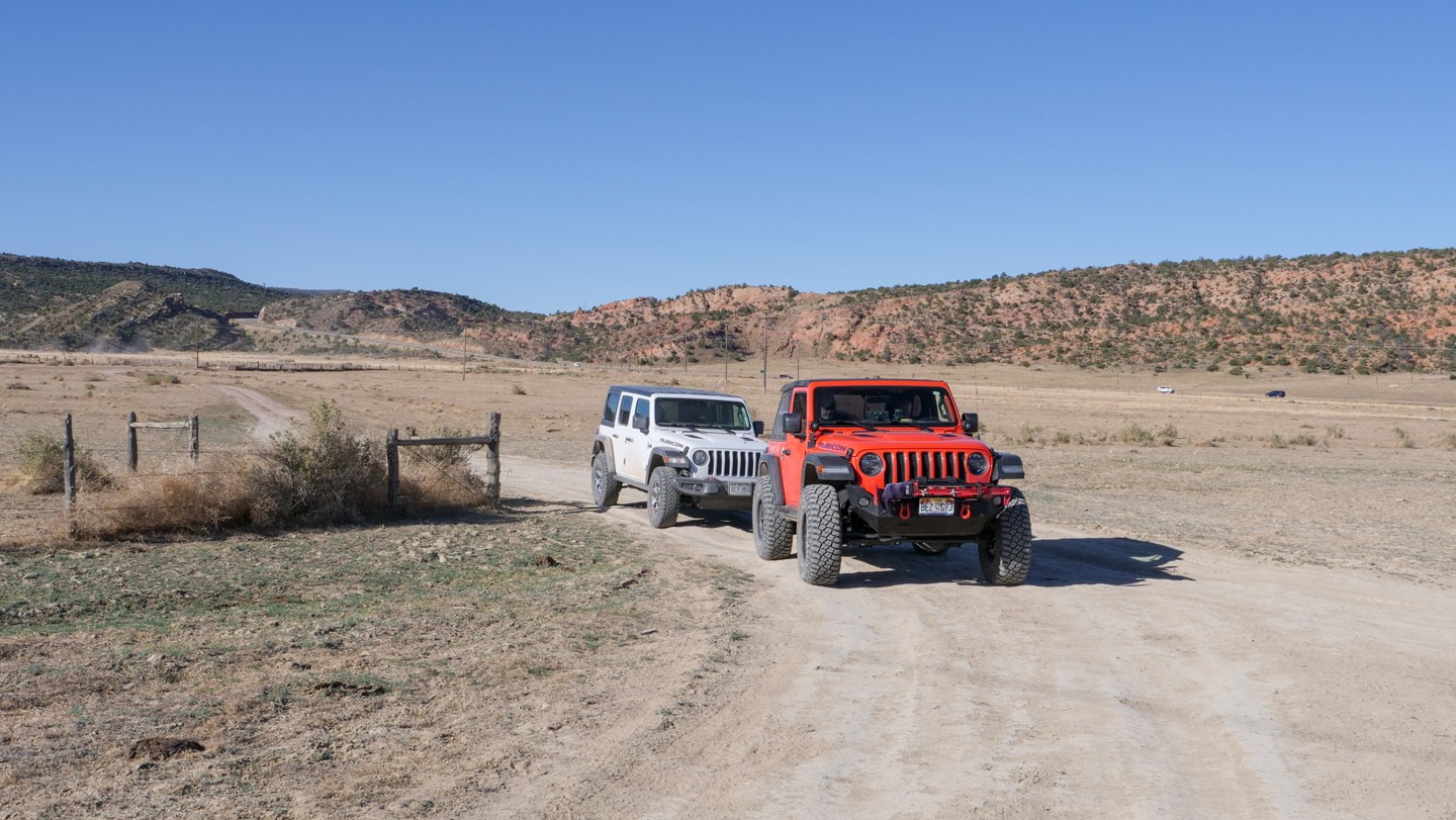
Directly west of Nucla, you will travel on rougher dirt roads where higher vehicle clearance and 4wd would be recommended. These trails are mostly single vehicle width but there is almost always an area to easily pull over for faster-moving traffic behind you or oncoming vehicles. This is desert terrain, with a history of uranium mining, and you will find very few shade trees but many open ranges and cattle sharing the trail. About halfway between Nucla and the Manti-La Sal National Forest, you will come to the water crossing at Tabeguache Creek. Depending on the season, this crossing is 12-24" deep and the water is moving swiftly. The trail continues to be rocky until the Manti-La Sal National Forest.
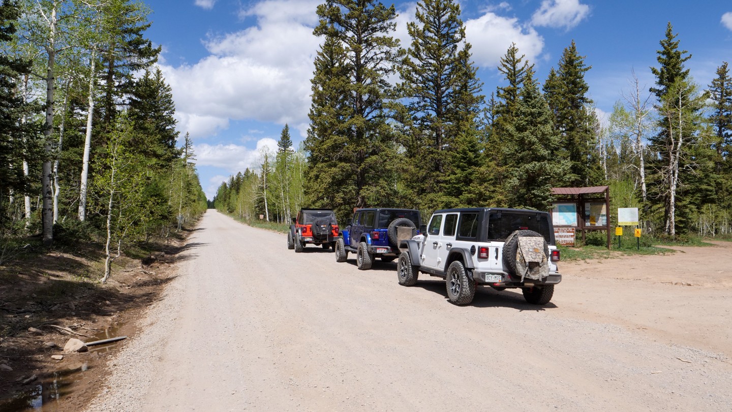
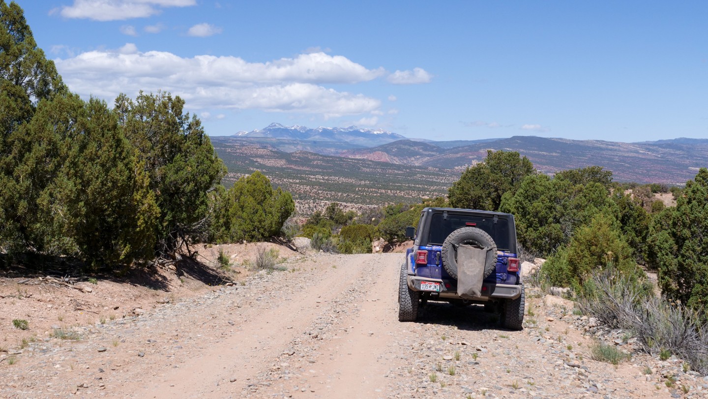
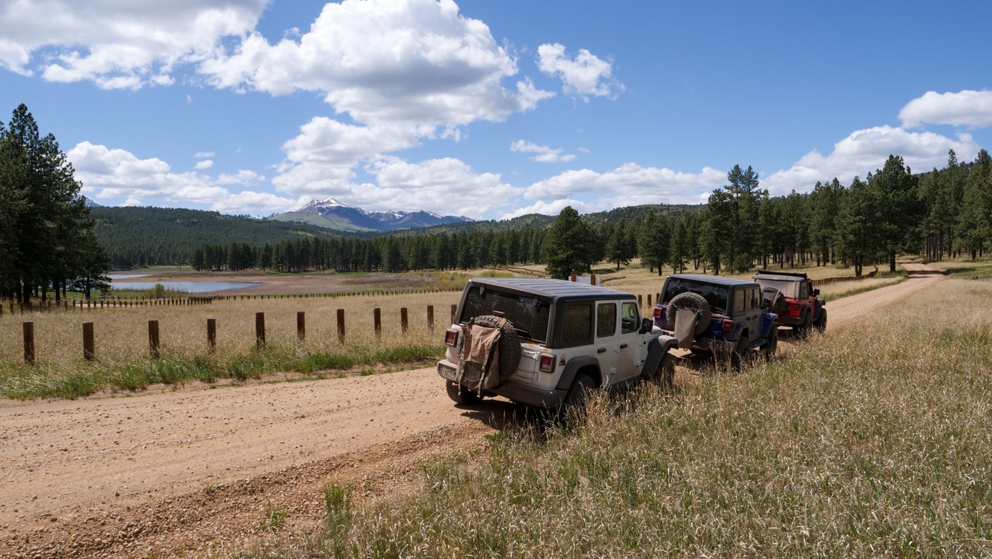
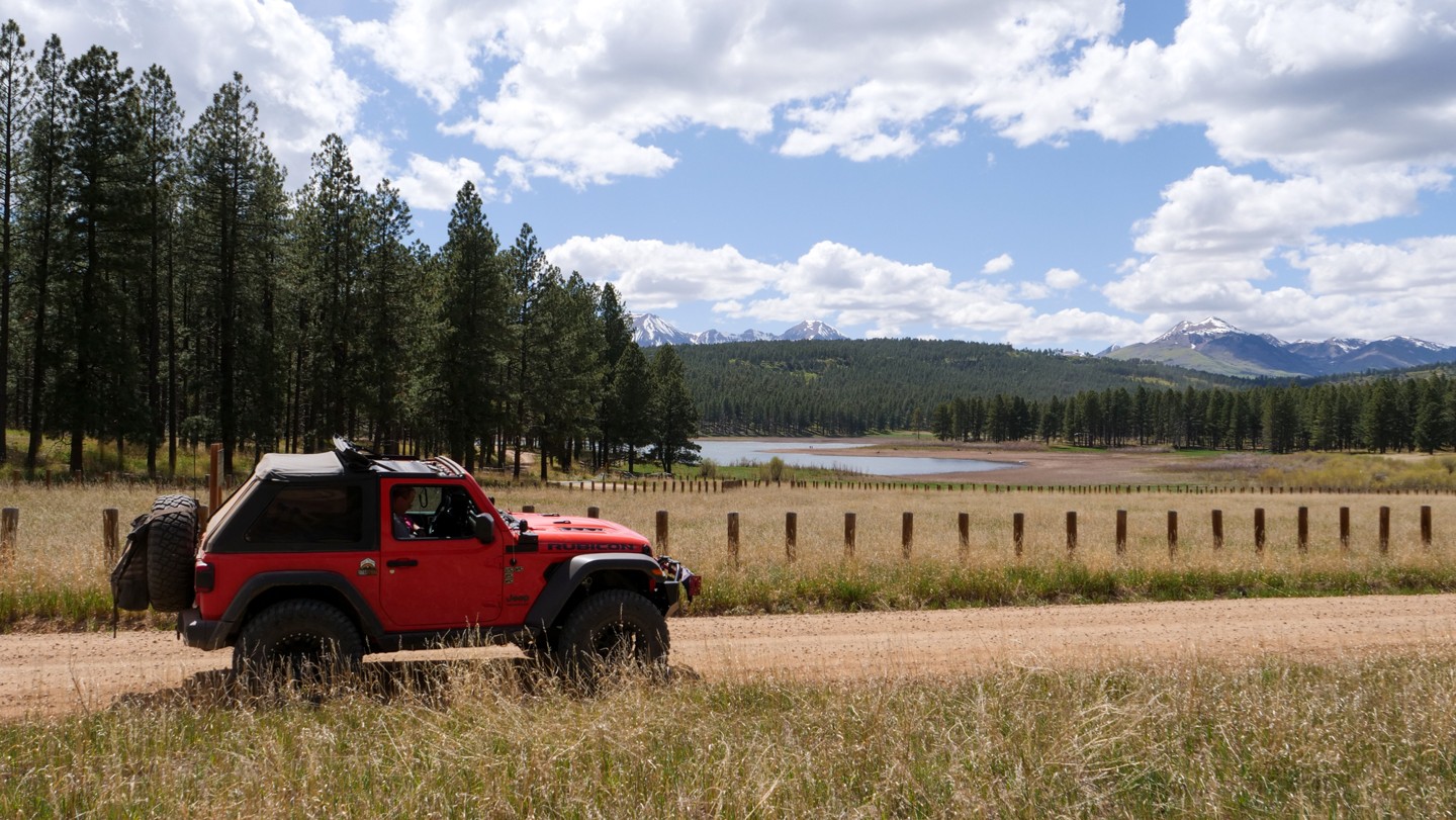
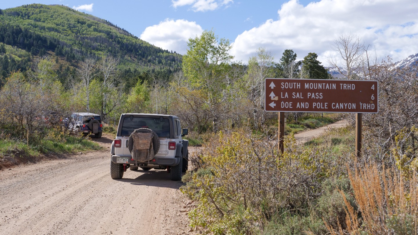
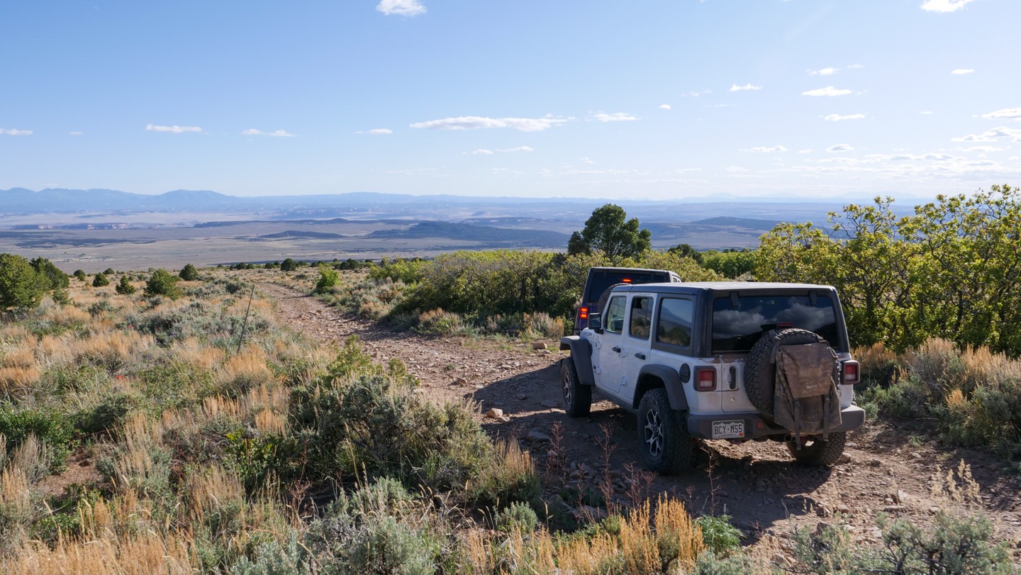
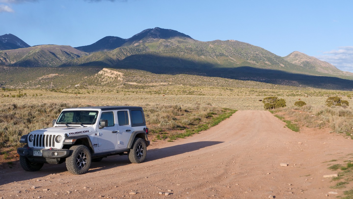
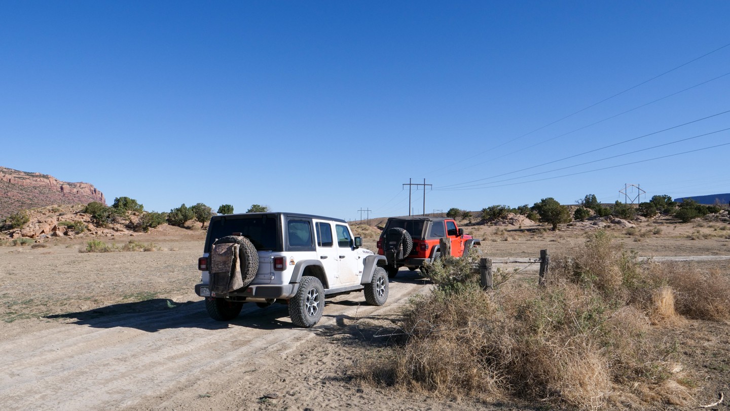
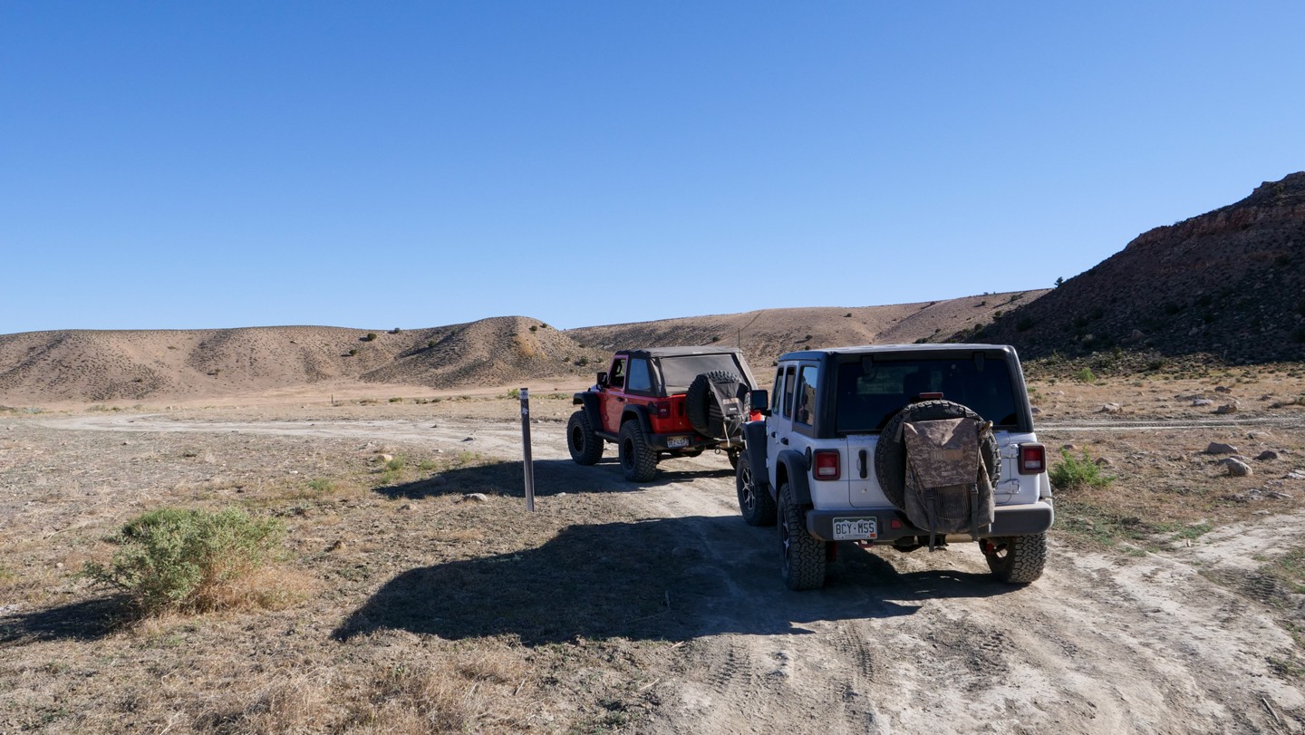
Manti-La Sal Forest to La Sal Pass Road (Waypoints 52-58)
In the Manti-La Sal National Forest, the road is well-graded and only has gravel, small rocks, and some ruts and potholes after rain. This section is suitable for most vehicles. This section of the trail is just east of the La Sal peaks and is among the most beautiful parts of the entire route. Most of the camping in this area is relegated to designated camping spots only. Without prior planning, finding a camping spot hear (near Buckeye Reservoir) will be difficult as the area is popular and easily accessed.
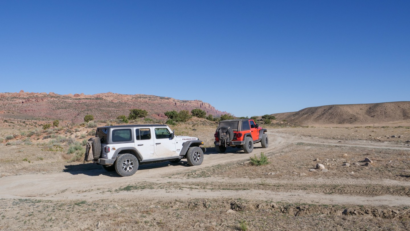
La Sal Pass Road to Moab (Waypoints 58 to 74)
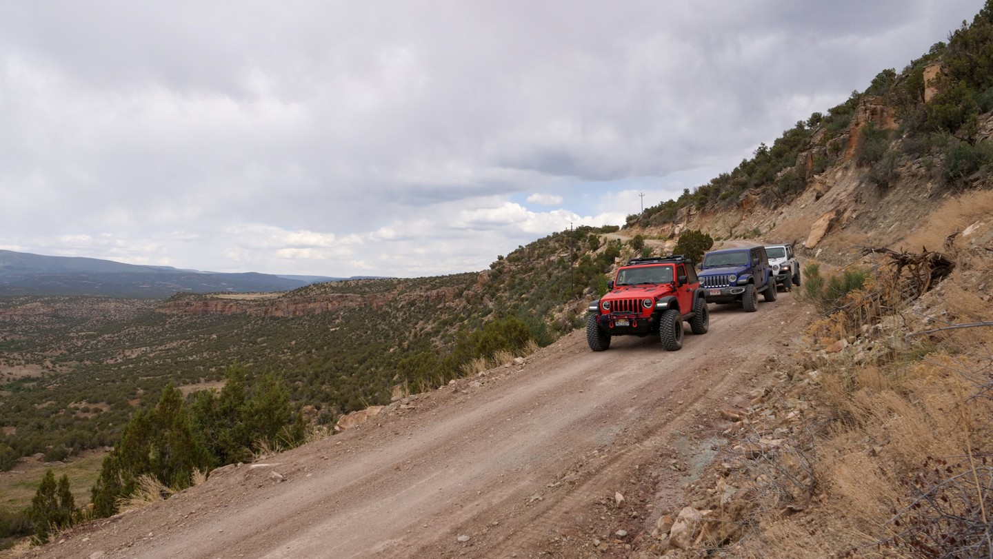
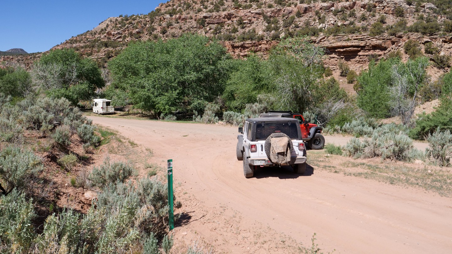
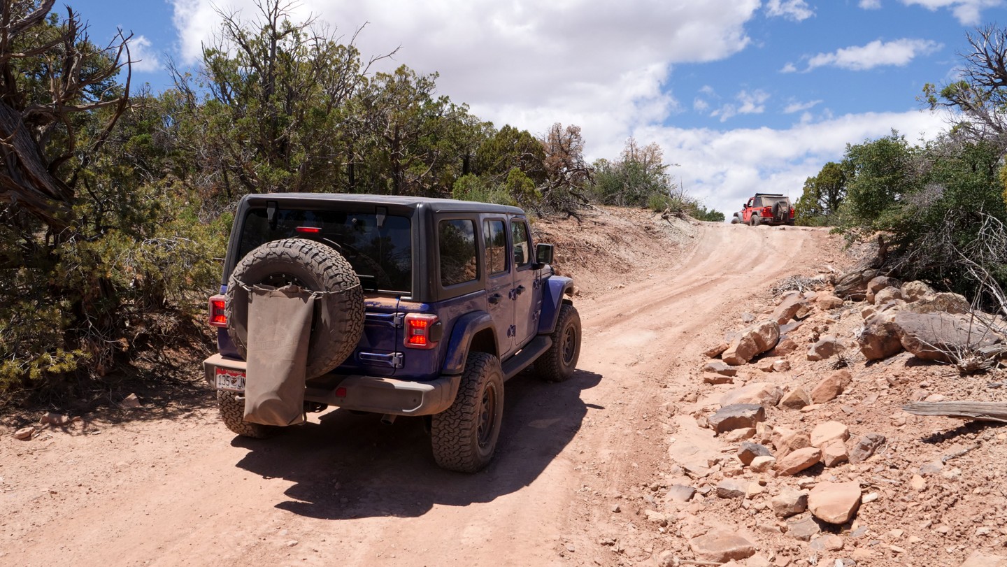
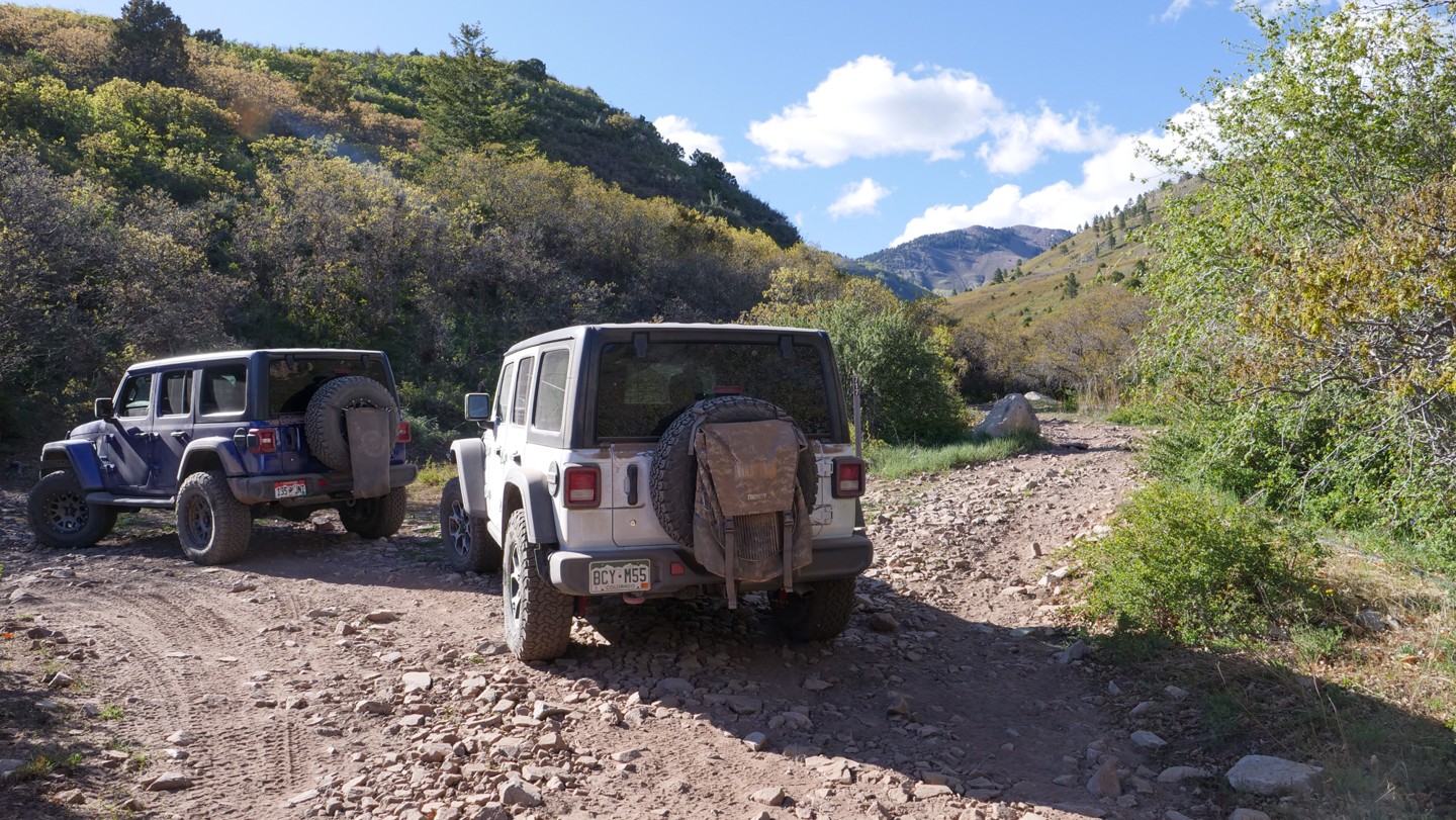
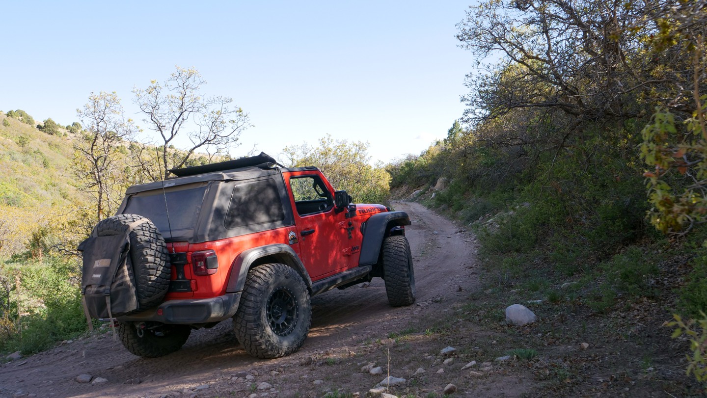
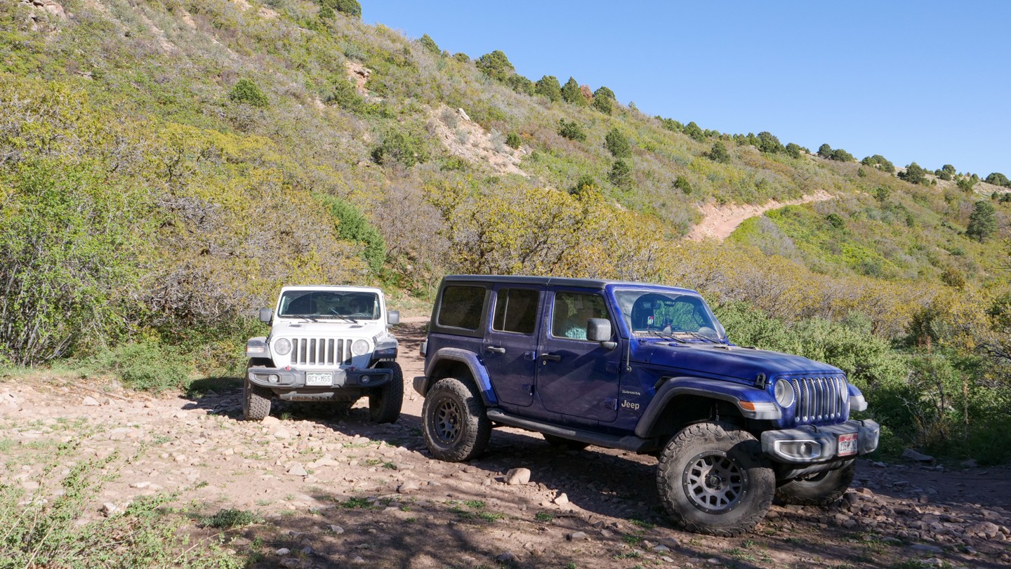
Much of this final push into Moab is bumpy and slow, especially between Waypoints 59 and 63. When you turn west from the La Sal Pass Road (Waypoint 59), the trail becomes a rough and rocky two-track. There are areas to pull over for oncoming traffic. The trees and shrubs are close-in on the trail and will brush along one or both sides of your vehicle. Some pinstriping is likely. There are tight corners, climbs, and descents and larger rocks along the trail to navigate through. A higher clearance vehicle is necessary here. As you get closer to the Moab and turn onto Black Ridge Trail (Waypoint 63), the trail will become less bumpy dirt and gravel suitable for most vehicles. The trail eventually becomes pavement as you enter the south edge of Moab, UT.
Additional information about the Rim Rocker can be found on the official website Rimrocker.org.
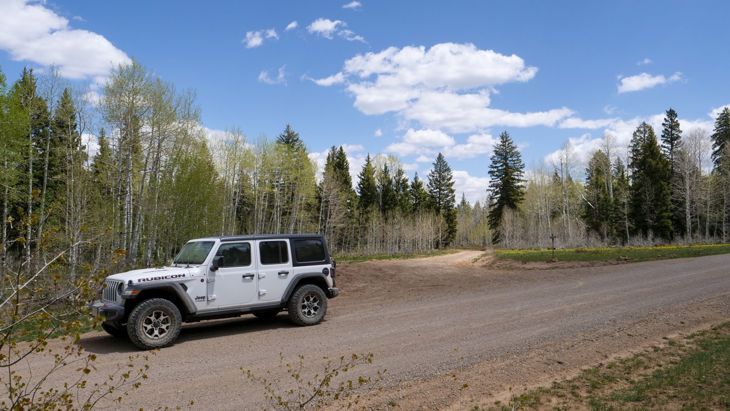
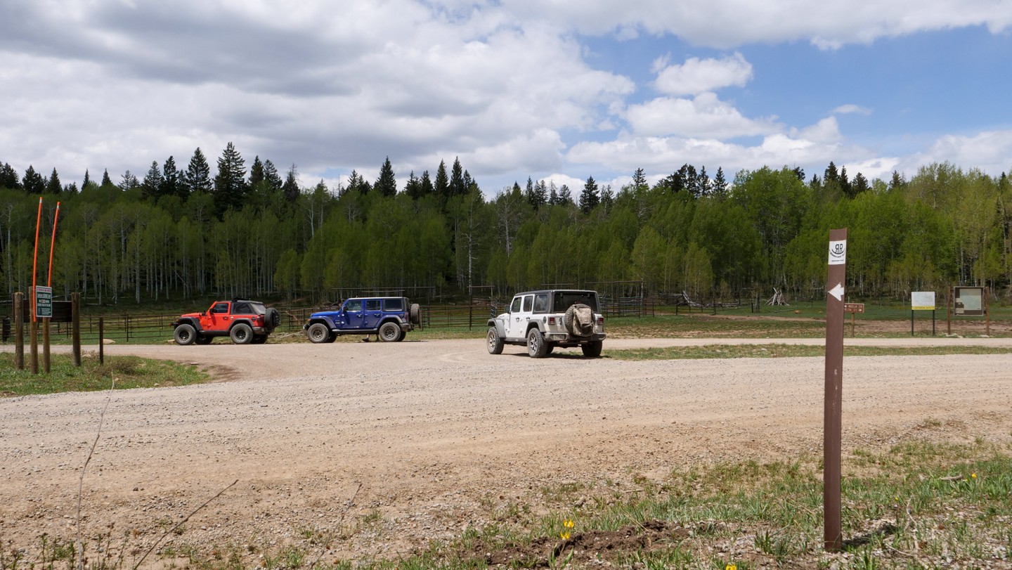
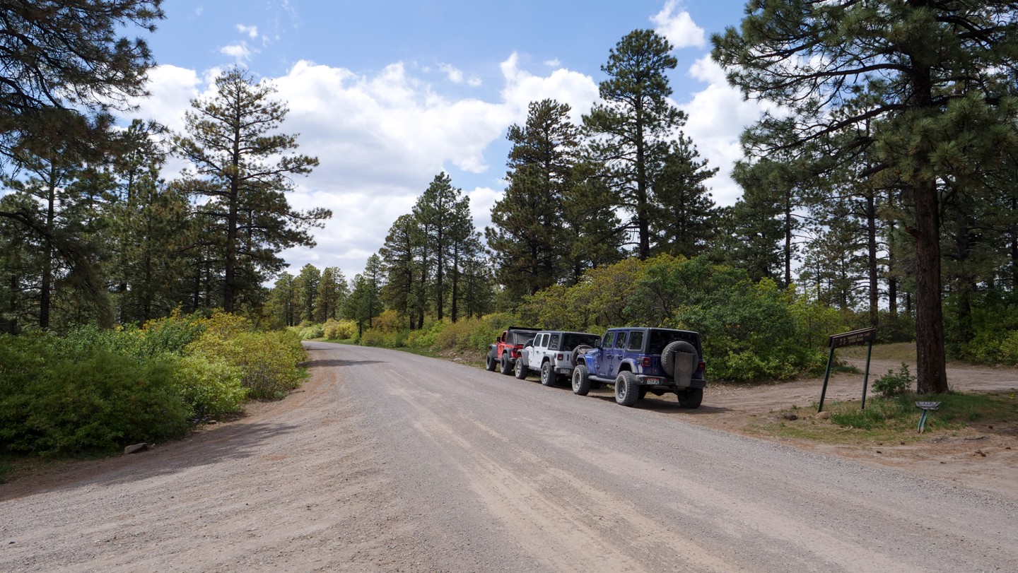
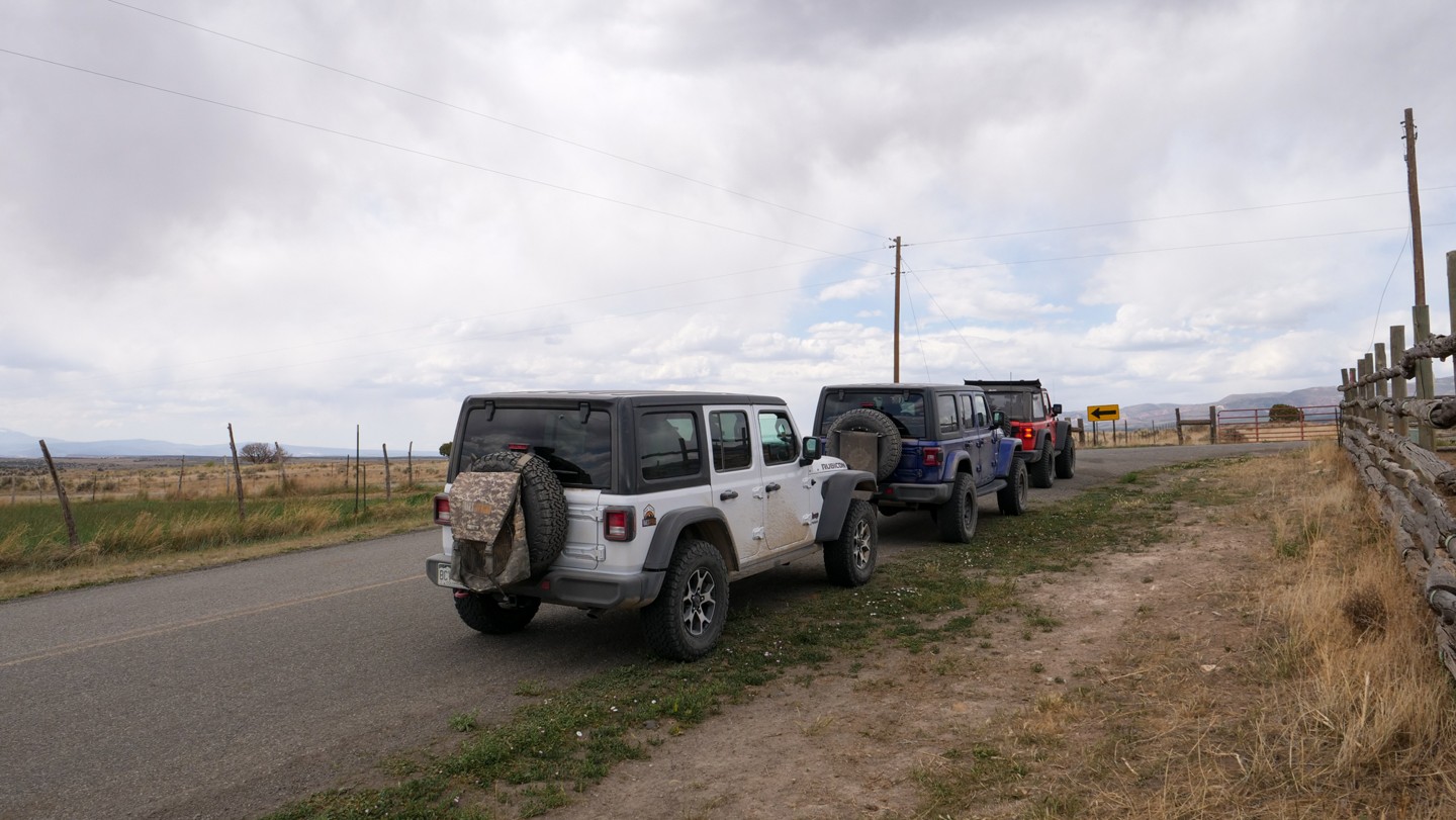
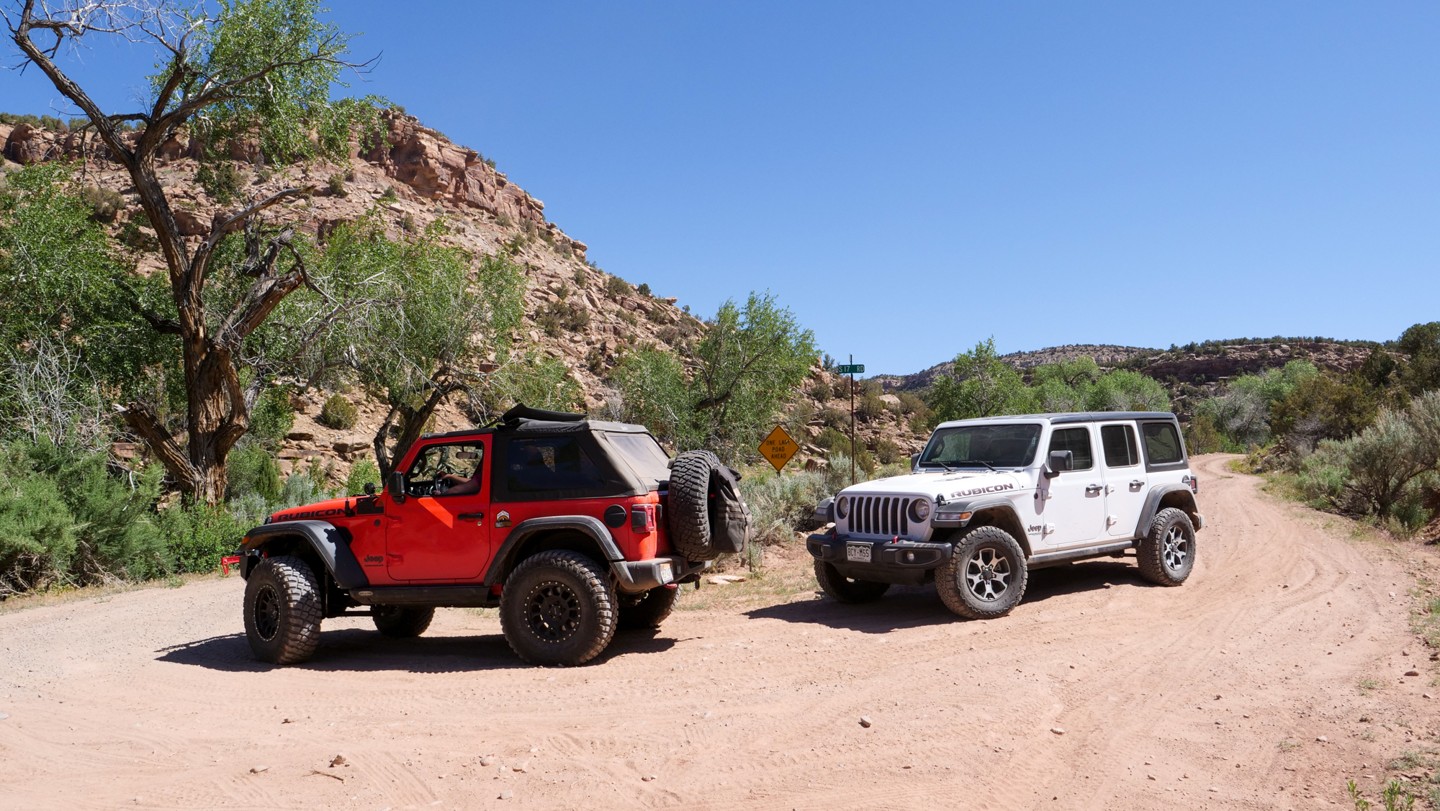
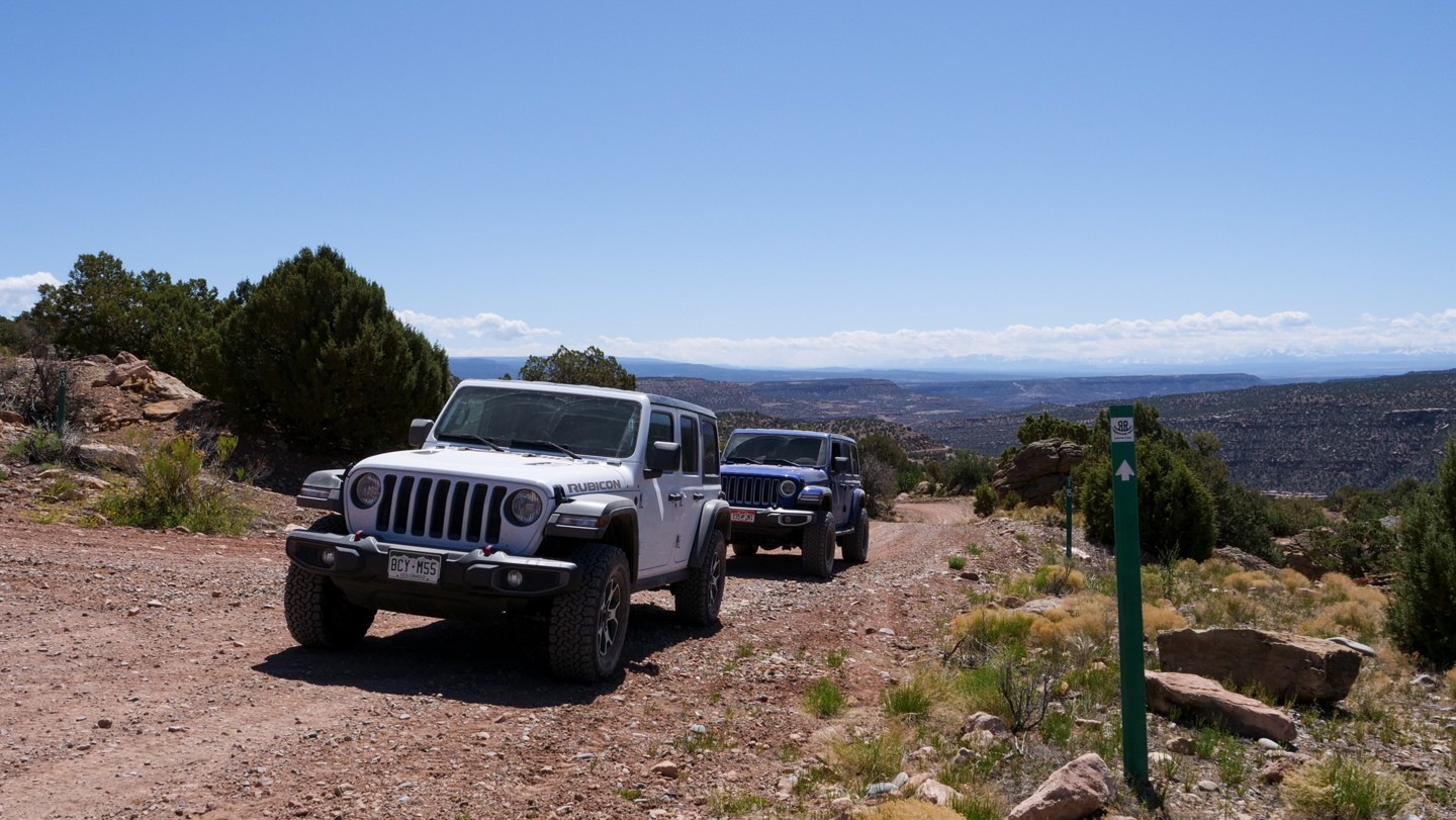
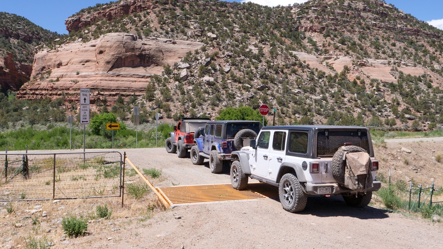
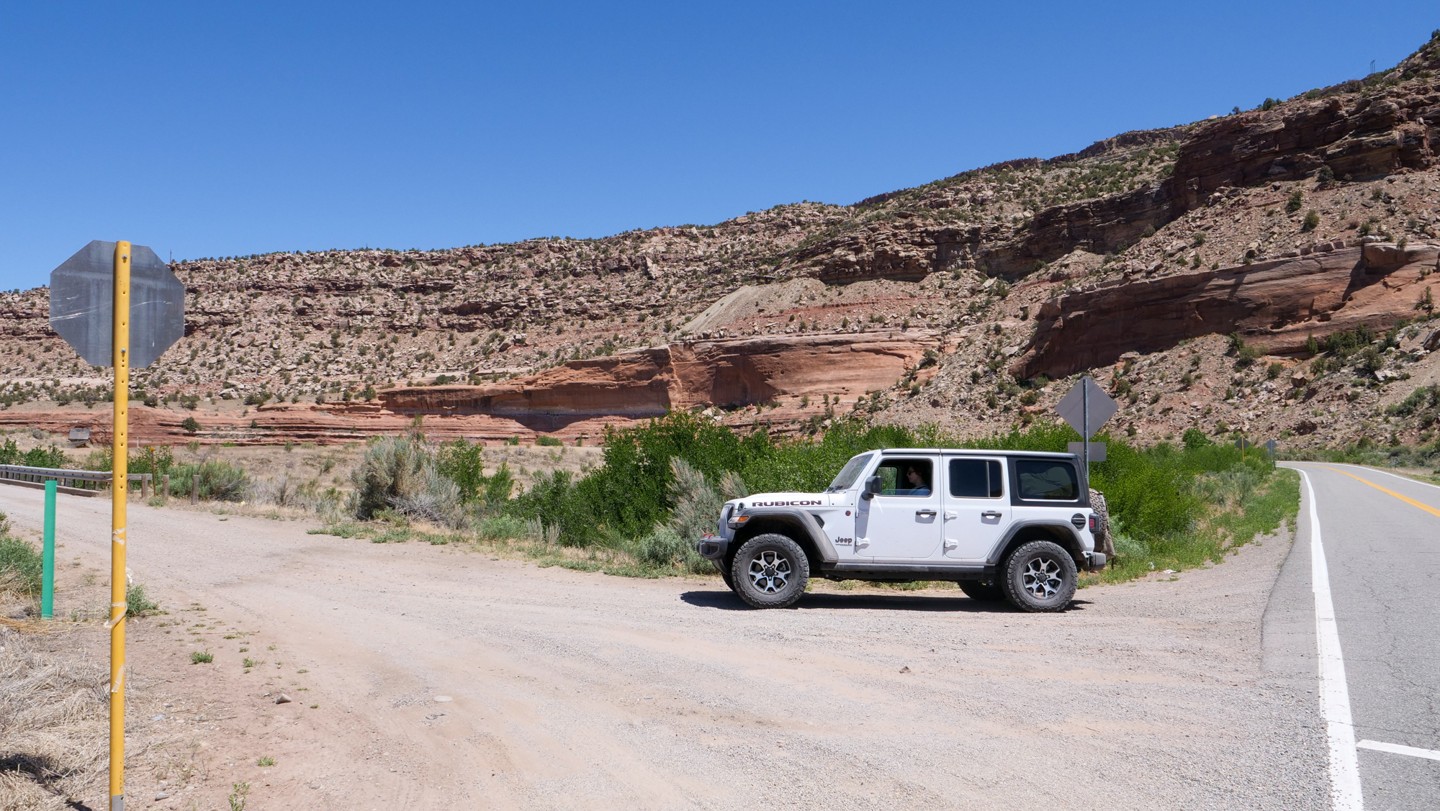
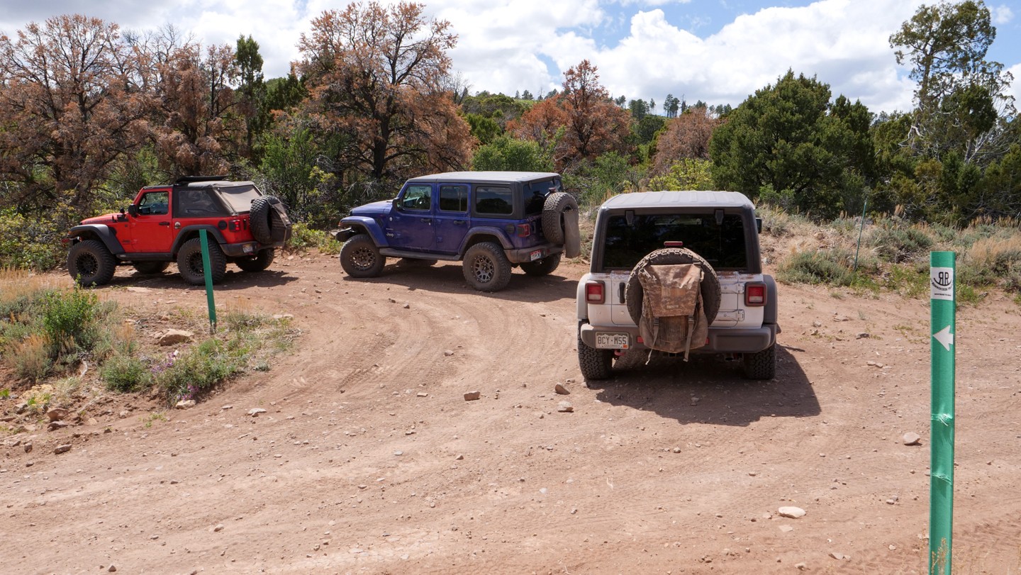
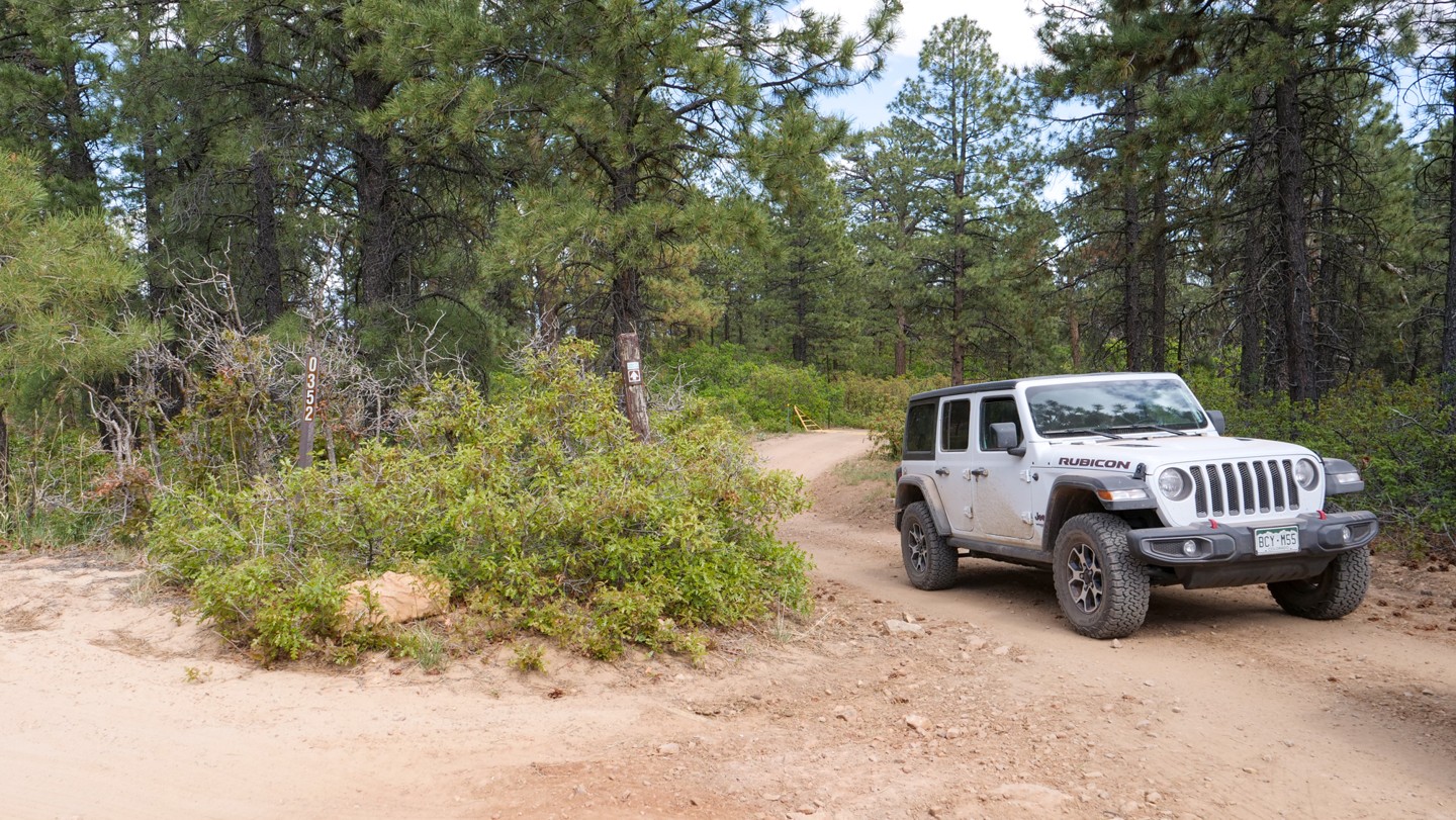
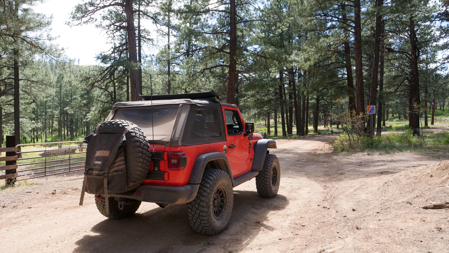
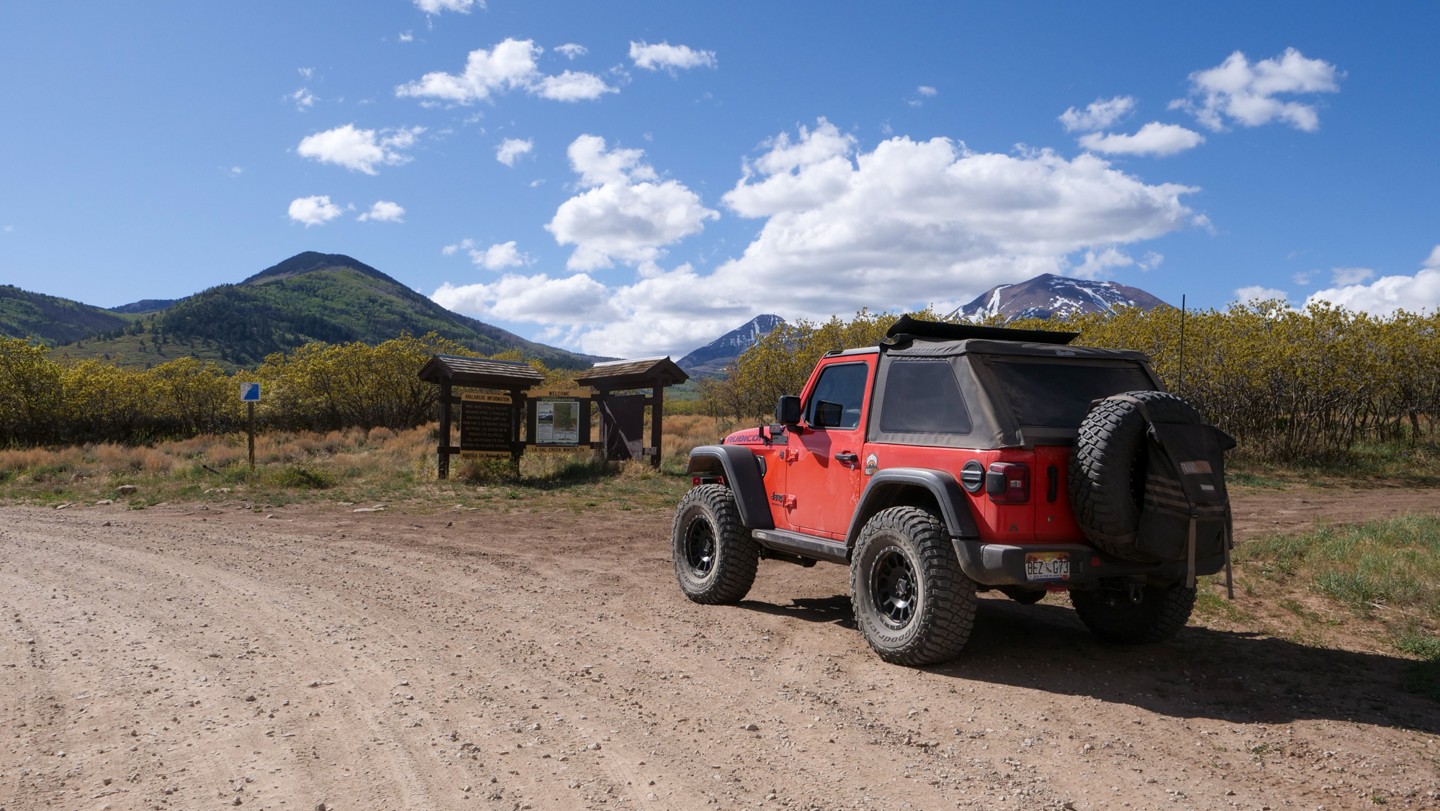
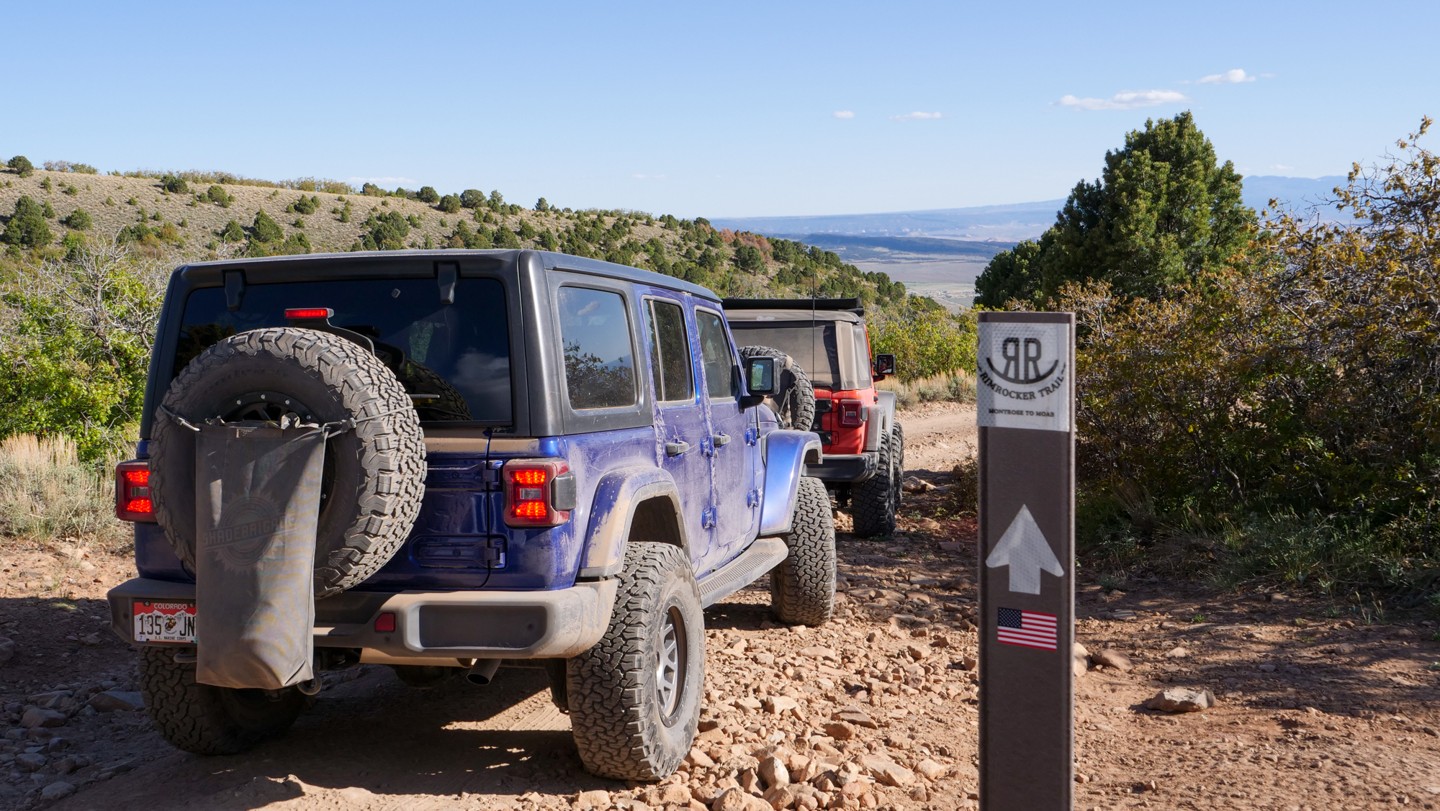
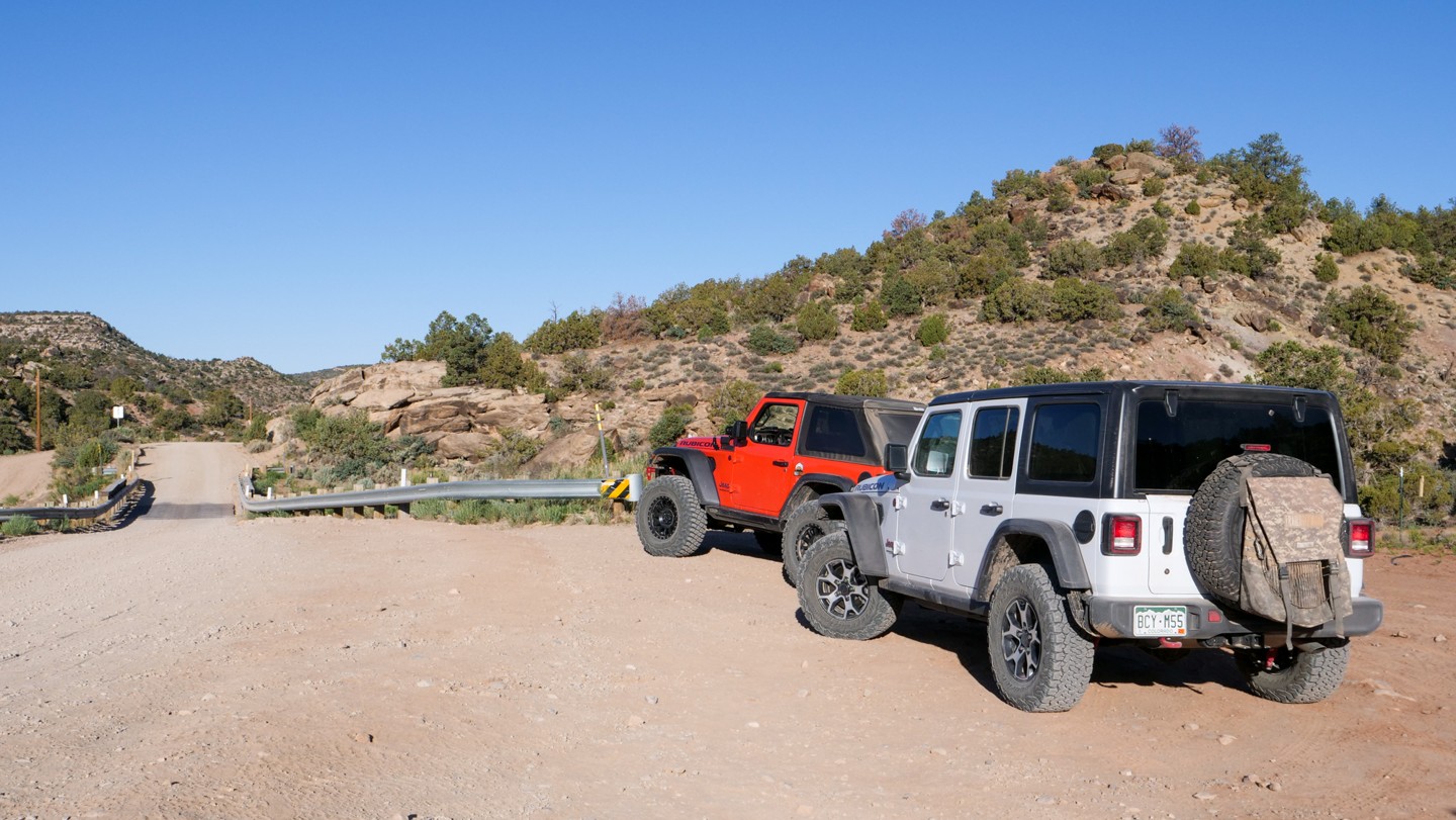
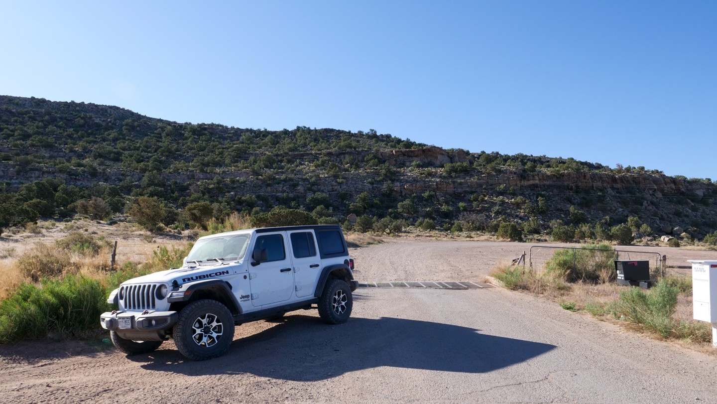
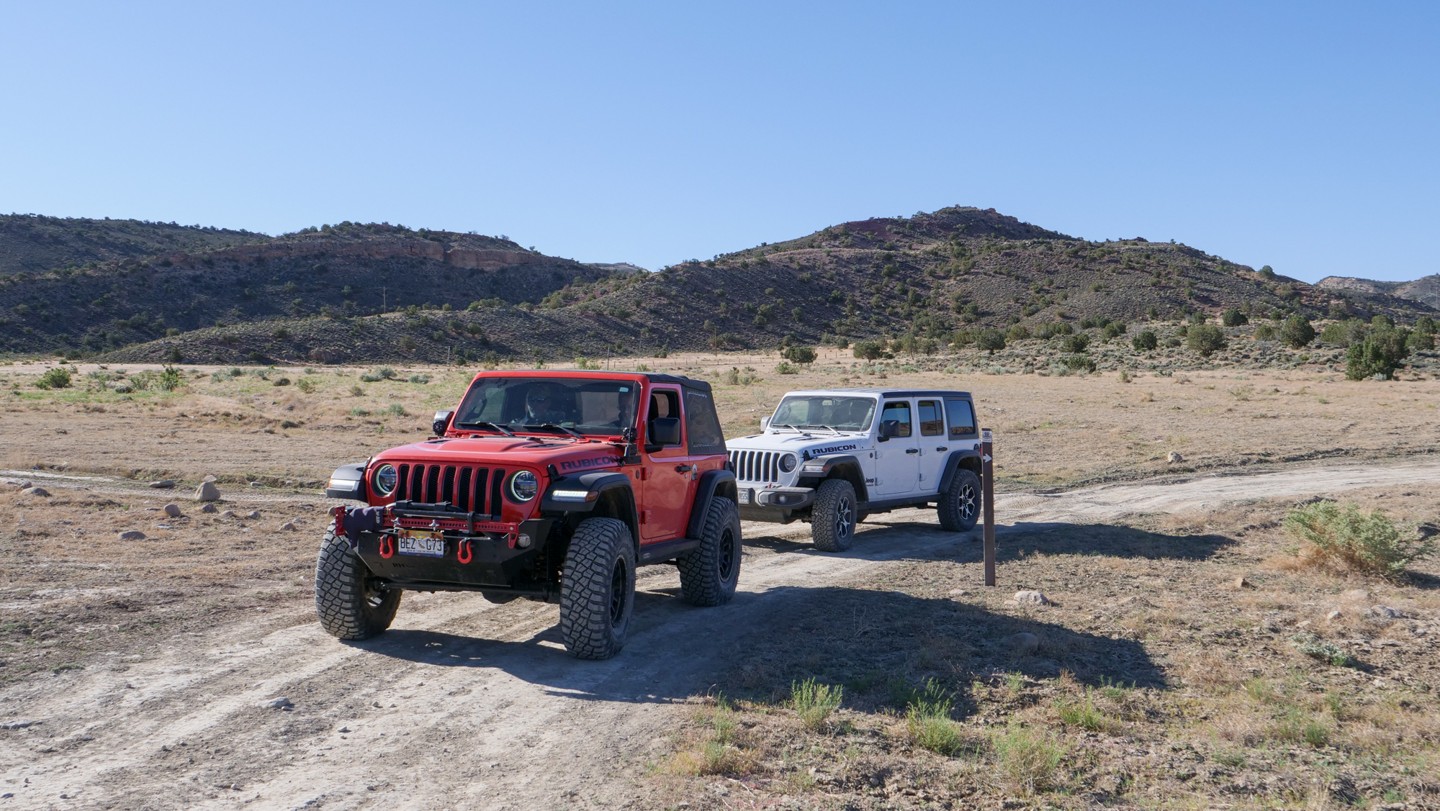
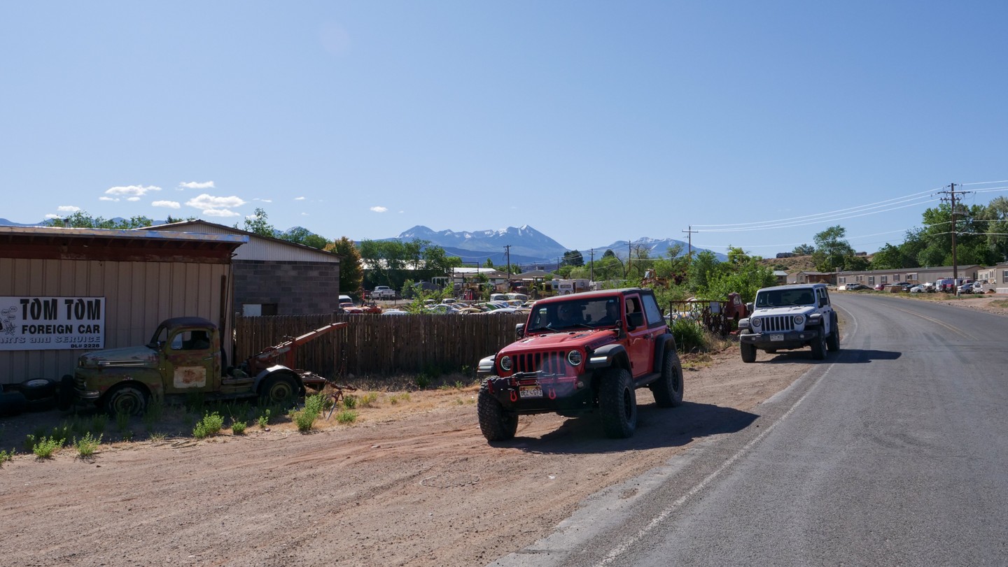
1. Rimrocker Trailhead (0 mi)
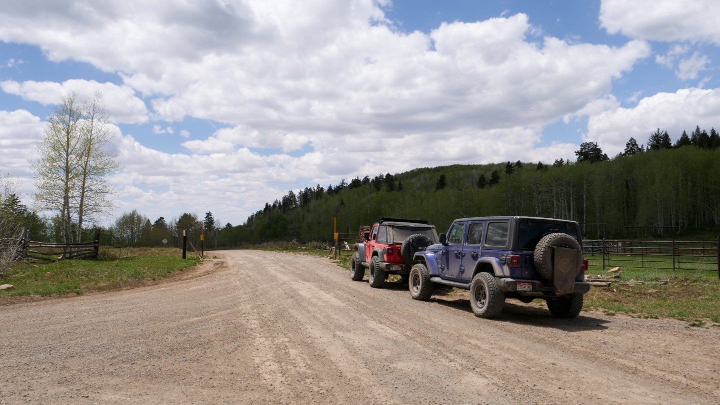
The Rimrocker Trail has its own official website listing this location as the official start of the iconic 160-mile long route. The trail begins on BLM land at the Dry Creek Recreation Area parking lot. Here, you will find plenty of room to air down and prep for the Rimrocker journey. As you exit the parking lot, turn left, to the west, to begin. The next few miles will proceed through a mixture of BLM and private property.
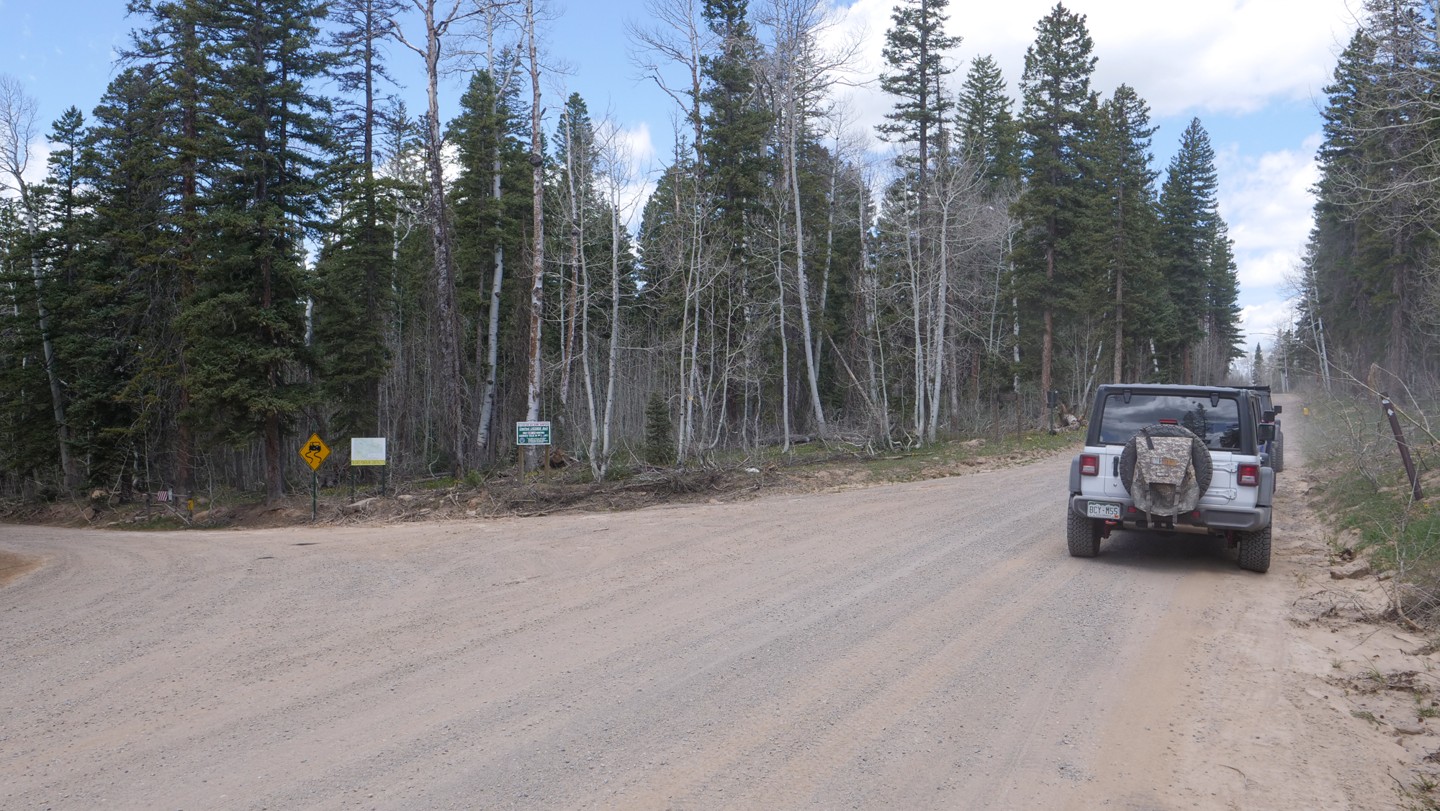
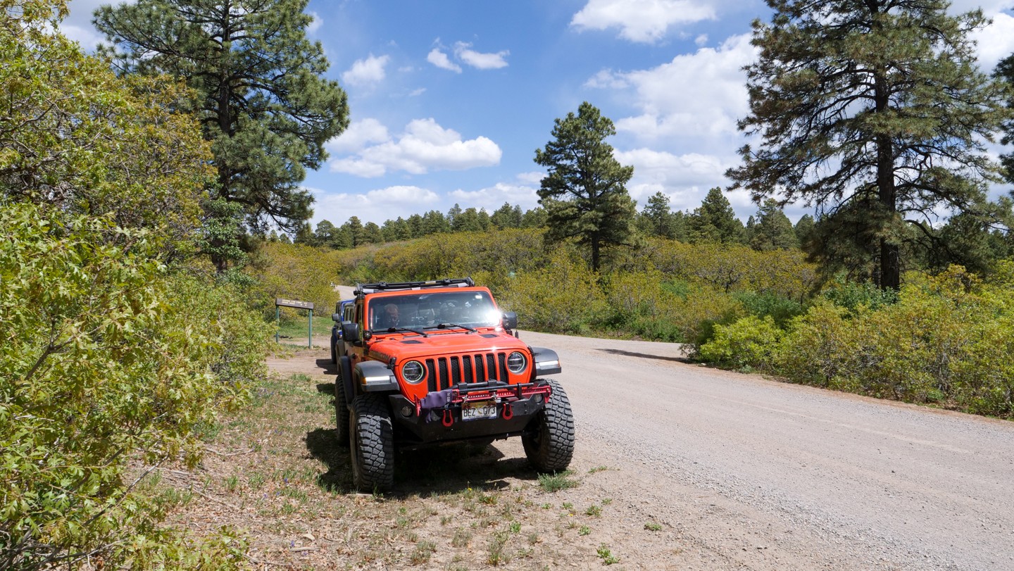
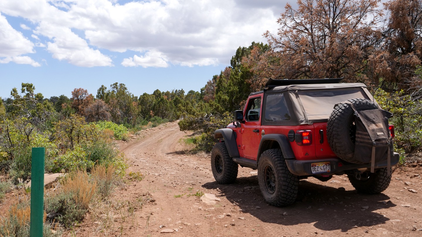
2. USFS Boundary - Continue Straight (11.52 mi)
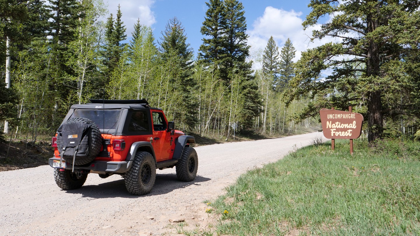
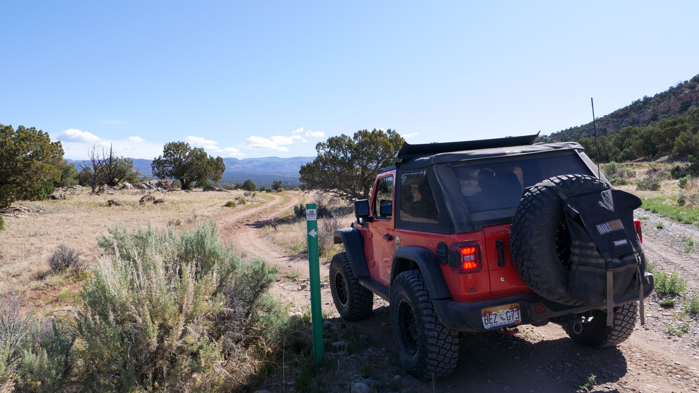
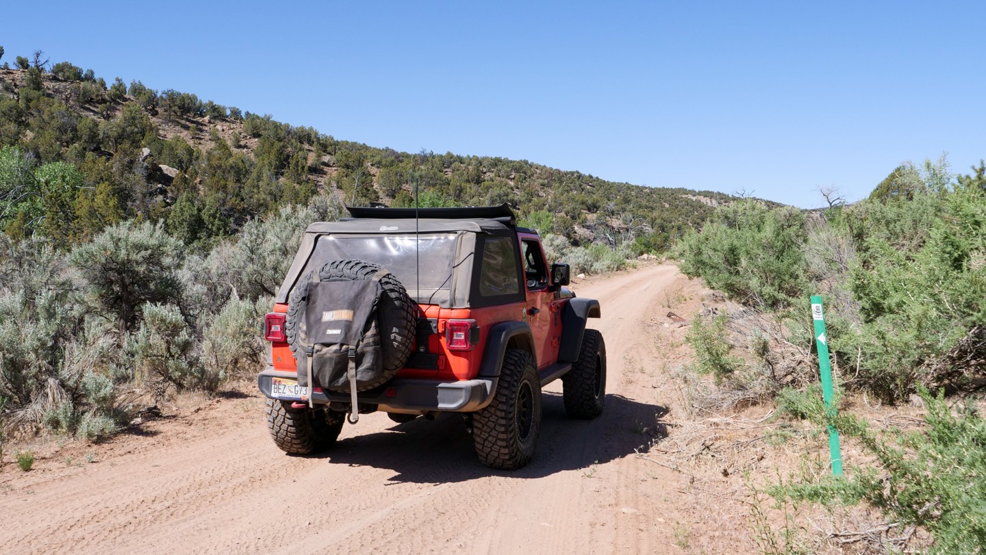
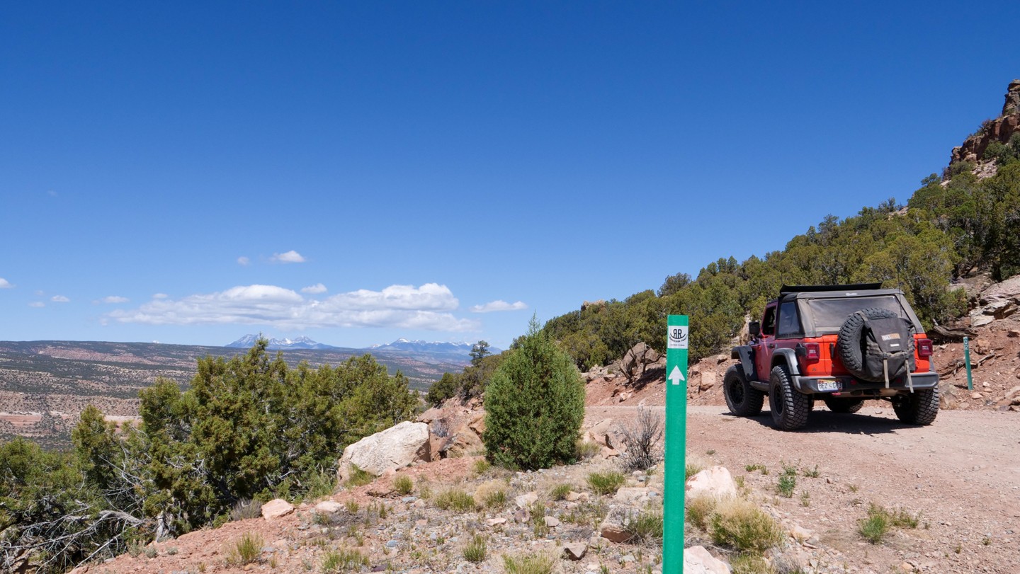
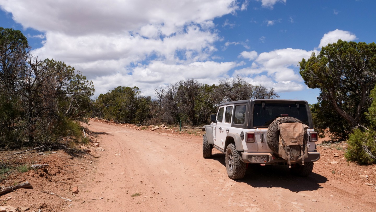
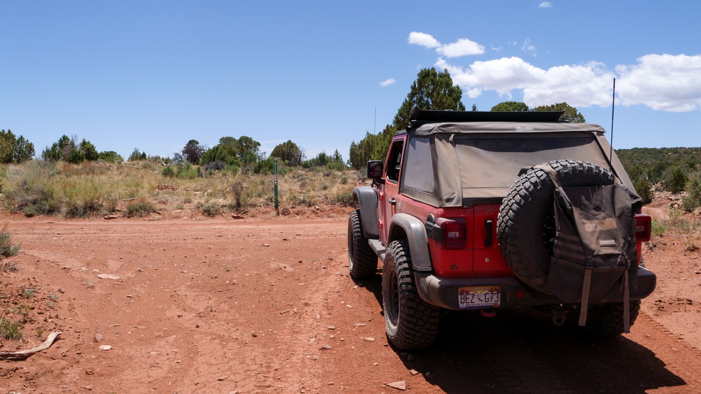
Continue straight. This is USFS Road #540 in the Uncompahgre National Forest. Along the route you will also find official Rimrocker Trail signs. These signs are similar to USFS road marking signs, fluorescent green in color with the Rimrocker logo. As the Rimrocker travels through the National Forest, the Rimrocker logo appears on brown colored signposts to match forest road markers.
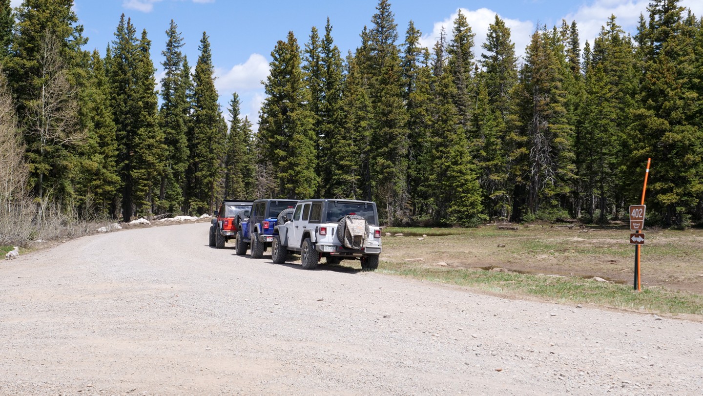
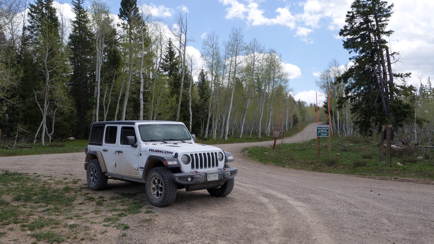
3. Divide Road - Continue Straight (14.3 mi)
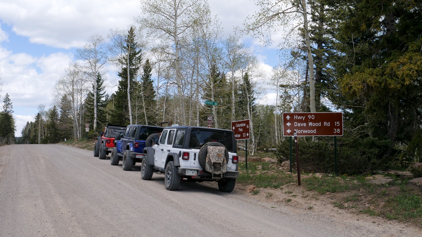
Continue straight. Divide Road, aka USFS 402, joins from the left/south.
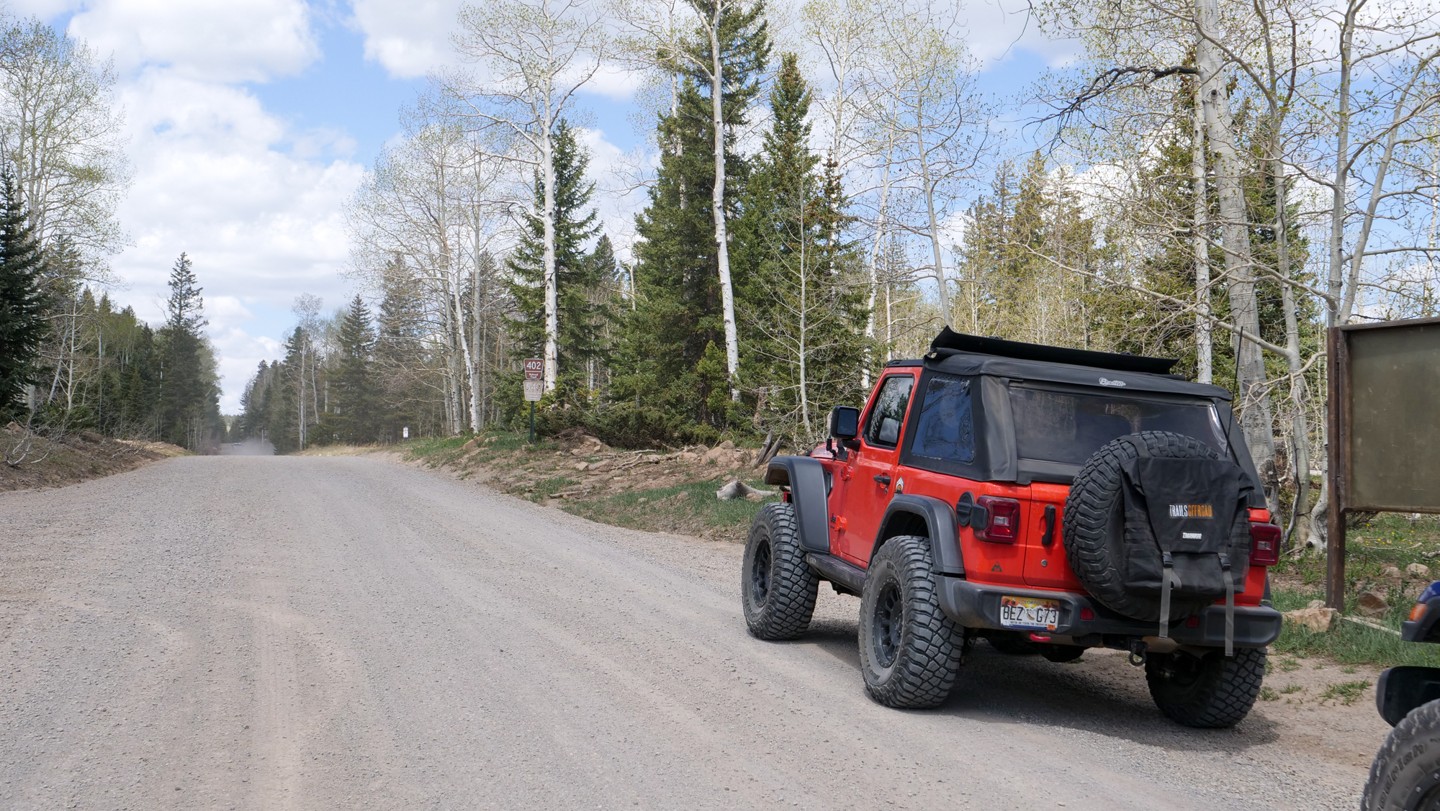
4. Iron Springs Campground - Continue Straight (14.81 mi)
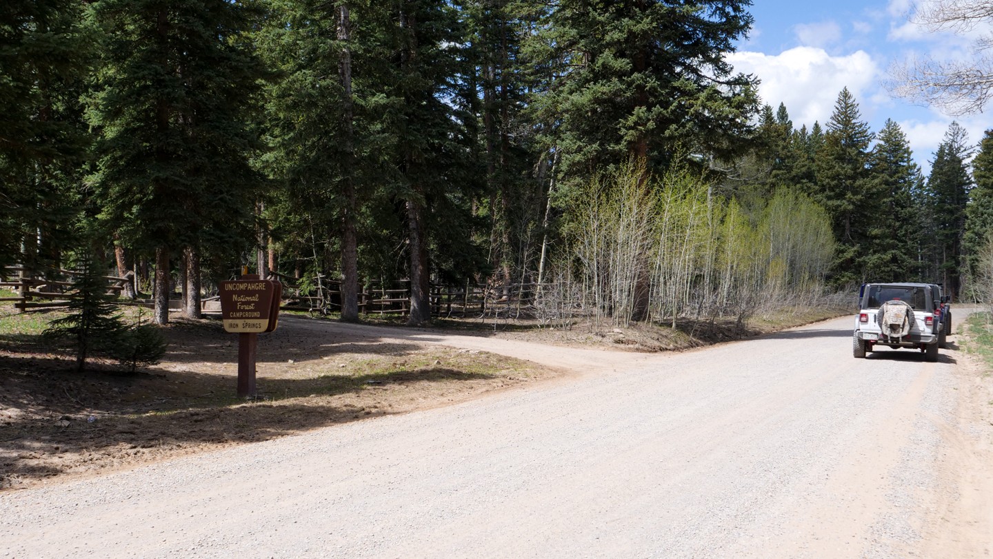
Continue straight. This is a rustic Forest Service campground with 8 tent sites and a vault toilet available. Information about the campground can be found at Iron Springs Campground website.
5. Nucla Road - Keep Right (15.02 mi)
Keep right. At this point, USFS Road #540 (Nucla Road) diverges to the left. For Rimrocker, remain right and continue on USFS Road #402. Dispersed camping is abundant for the remainder of your trip through the Uncompahgre National Forest.
6. Transfer Road - Keep Left (16.06 mi)
Keep left. Transfer Road (USFS 508) continues north all the way to Olathe, CO. Keep left to remain on Rimrocker.
7. USFS 548 - Continue Straight (18.54 mi)
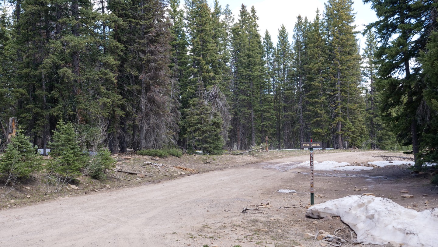
Continue straight. USFS 548 is a spur that heads north and dead ends. Continue straight to remain on Rimrocker.
8. Houser Road - Continue Straight (19.21 mi)
Continue straight. Houser Road (USFS603) heads to the left/west and eventually reconnects with Rimrocker at Waypoint 13. To the right of this intersection (east) is a small mountain lake, Darling Lake. It is serene and easy on the eyes.
9. USFS 545 - Continue Straight (23.04 mi)
Continue straight. To the right, USFS 545 heads north. This road eventually dead ends. Over the next five miles, several similar minor USFS roads branch off to the north, all of which dead-end. Remain straight on USFS 402 for Rimrocker Trail.
10. USFS 505 - Continue Straight (28.09 mi)
Continue straight. USFS 505 heads to the right/north. This leads to a long series of forest service roads to the area of the 7N Mesa.
11. Tabegauche Overlook - Continue Straight (29.72 mi)
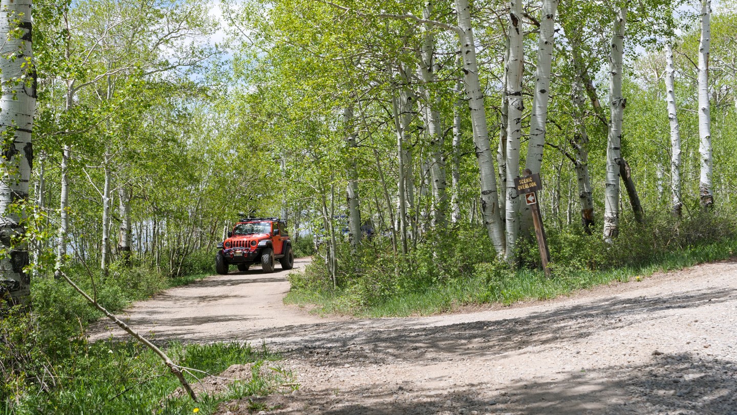
Continue straight. Don't blink as you might miss this short loop turn off where you can park and take in the view of the Tabegauche (Pronounced: TAB-uh-wahch) Basin below. This is worthy of a photo opportunity.
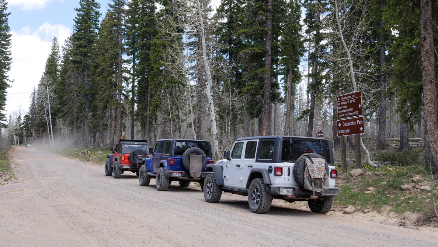
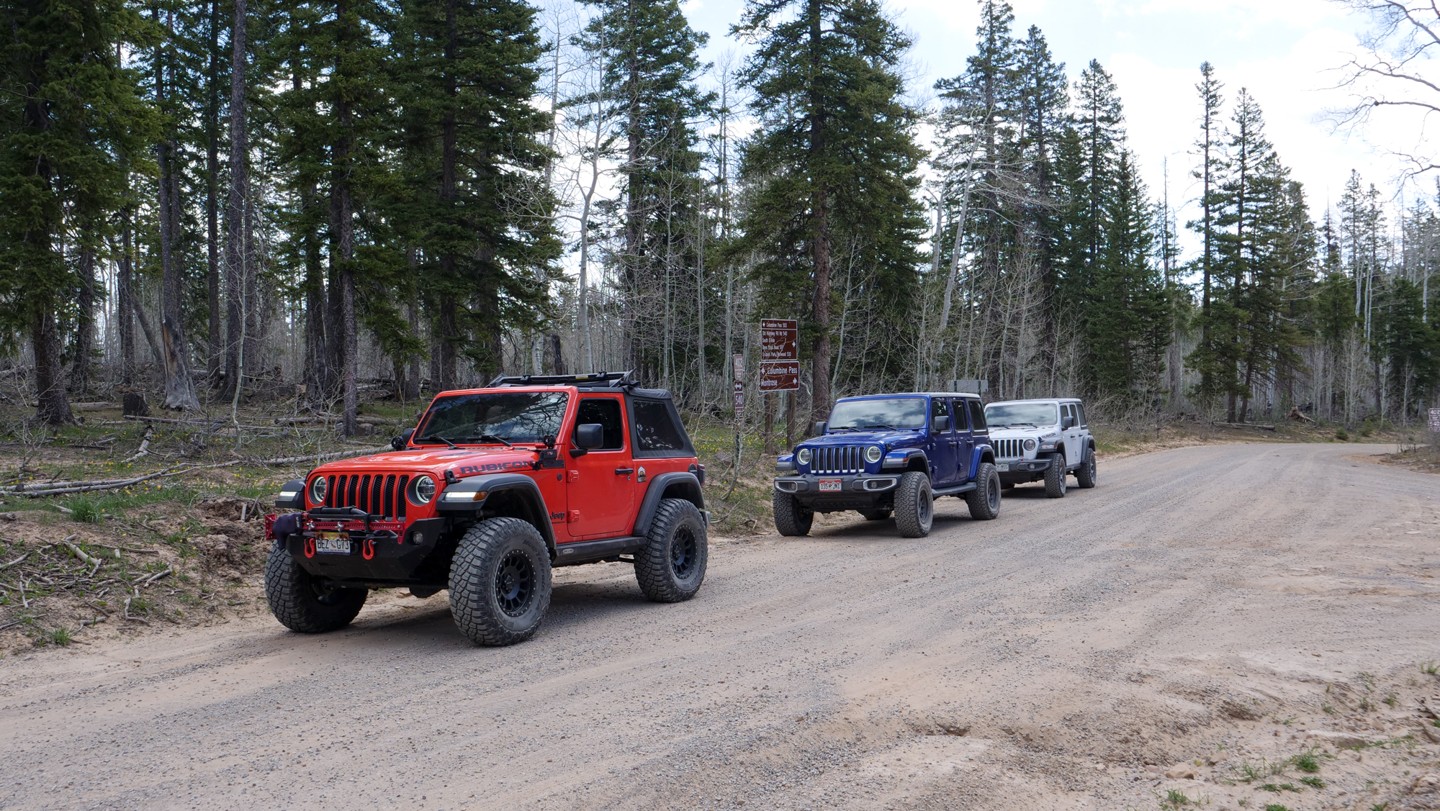
12. Columbine Pass - Turn Left (30.52 mi)
Turn left. You are at Columbine Pass. Turn sharp left/south onto Delta-Nucla Road (USFS Road 503) to continue the Rimrocker. The USFS Columbine Campground sits about 1/2 mile to the north on the Delta-Nucla Road. This campground has 6 designated tent sites and a vault toilet.
13. Houser Road - Continue Straight (38.3 mi)
Continue straight. Houser Road (USFS Road 603) reconnects to Rimrocker here from the left. Continue straight to stay on the Rimrocker.
14. Pavement Begins - Continue Straight (46.86 mi)
Continue straight. As you approach Nucla, CO and leave the Uncompahgre National Forest, the road surface turns to asphalt. You will remain on the paved surface for the next 12 miles or so until you reach the west side of Nucla.
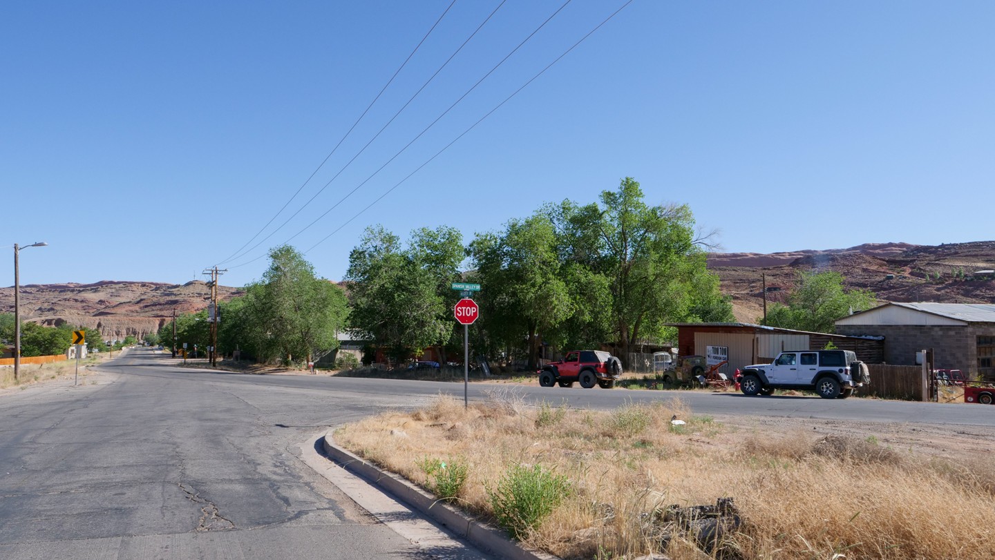
15. East 4th Street - Turn Right (52.39 mi)
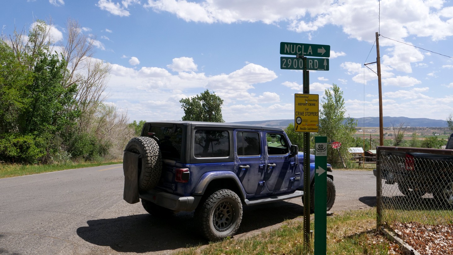
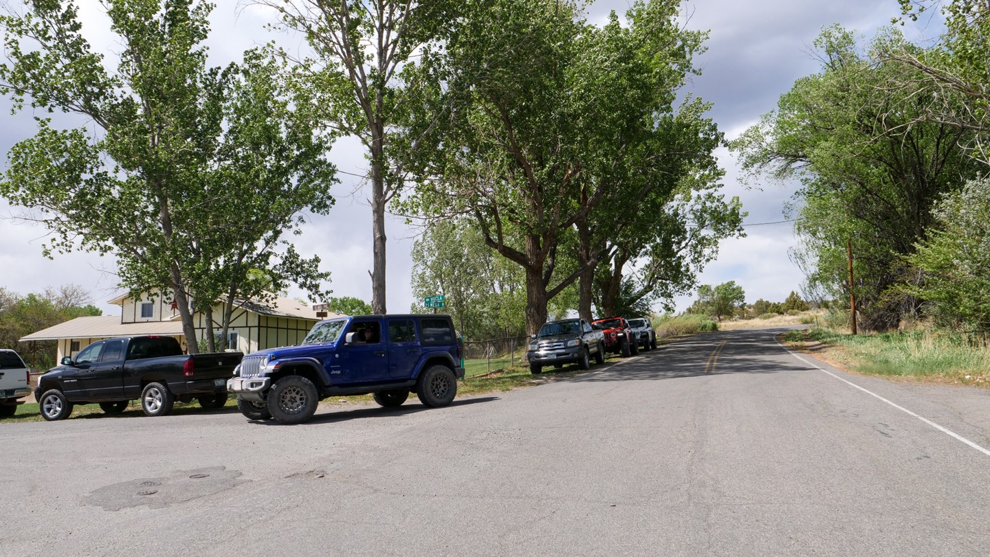
Turn right. Nucla, CO is a small town and the next few turns will wind you through the streets of the town.
16. Main Street - Turn Left (52.99 mi)
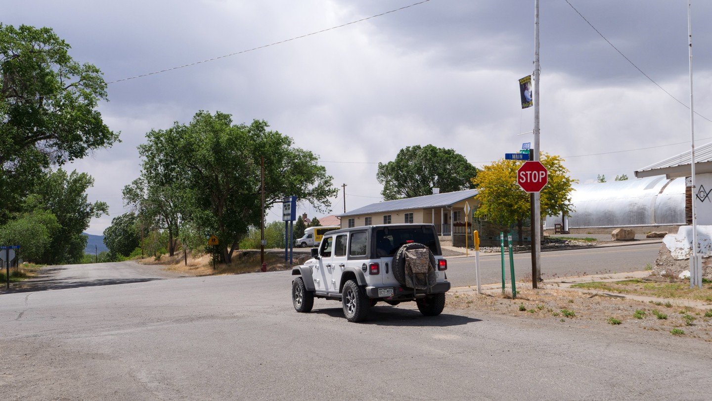
Turn left. This is downtown Nucla.
17. 10th Street - Turn Right (53.52 mi)
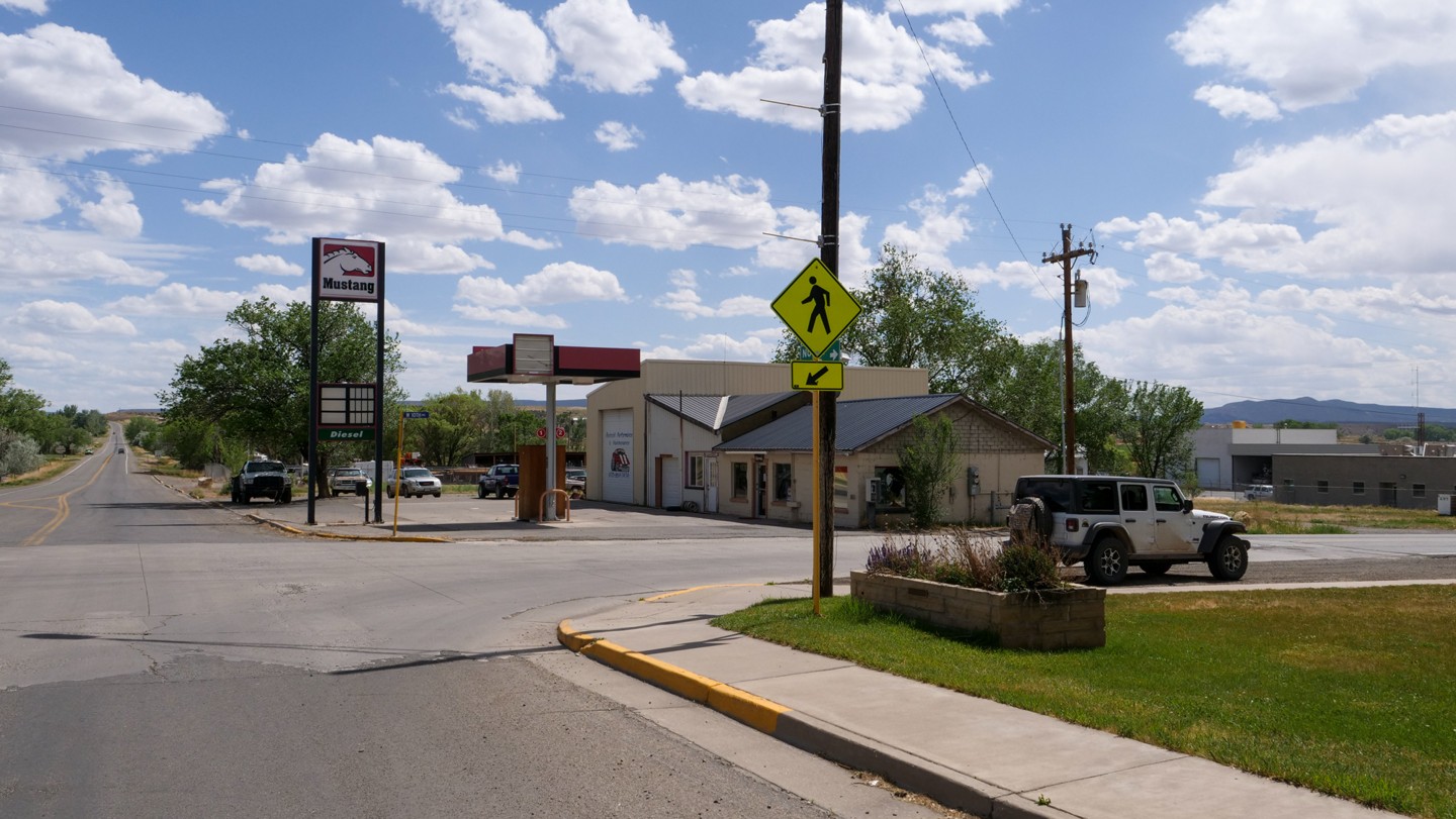
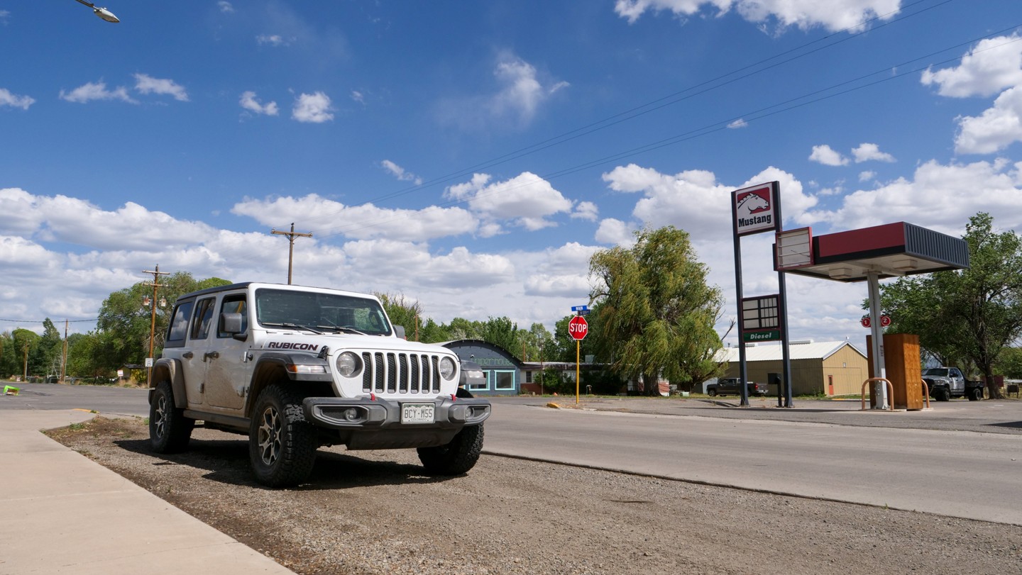
Turn right. A small gas station sits on the southwest corner of this intersection. This is your only opportunity for fuel until Moab.
18. 2700 Road - Turn Right (55.12 mi)
Turn right. As you reach the rural farmland outside Nucla, its time to find the trail again. Turn right onto 2700 Road to remain on the Rimrocker.
19. AA Road - Keep Left (57.24 mi)
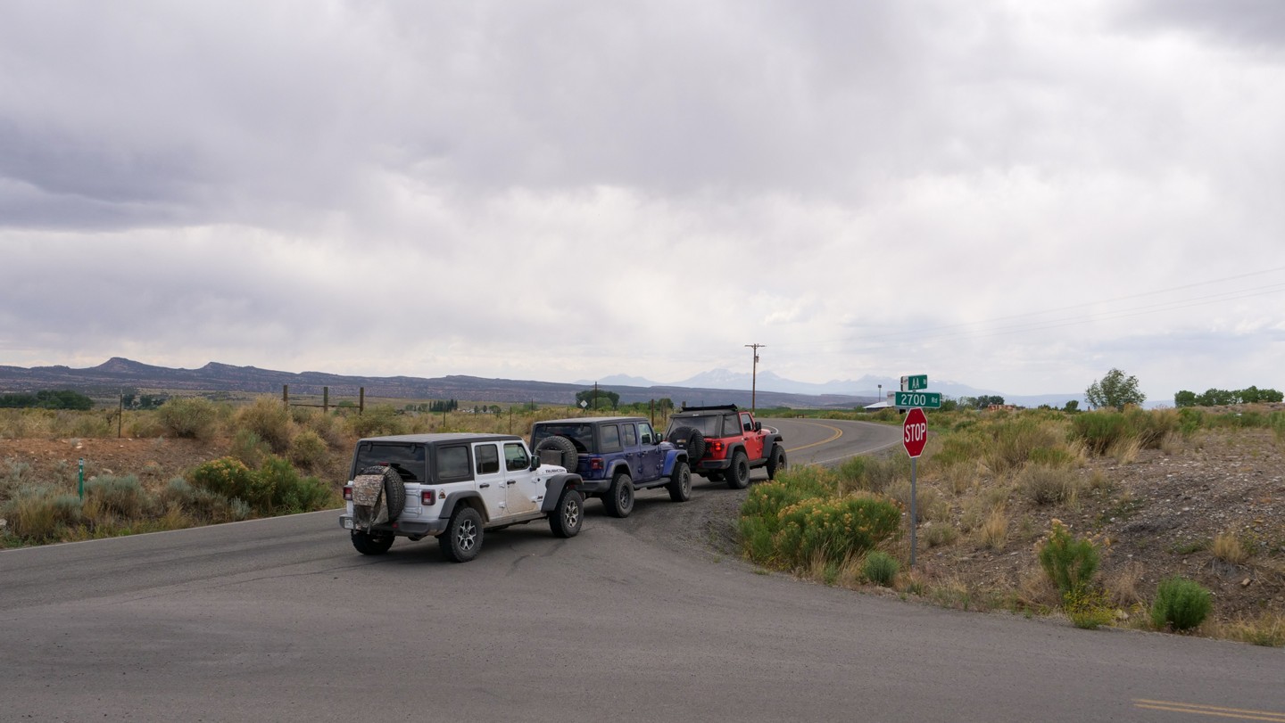
Keep left. Stay on the pavement veering to the left to remain on the Rimrocker.
20. 2600 Road - Turn Right (57.98 mi)
Turn right. Head north on 2600 Road. There is an official Rimrocker sign that points to the proper direction.
21. Z26 Road - Turn Left (59.47 mi)
Turn left. Z26 Road initially heads west and will then turn to the north. The pavement ends near here.
22. V19 Road - Turn Left (61.13 mi)
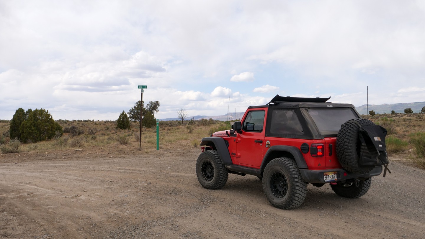
Turn left. Finally the road becomes more trail-like. V19 Road is now well maintained like the road has been so far. Please remain on the road through this stretch as the road crosses both private and public lands.
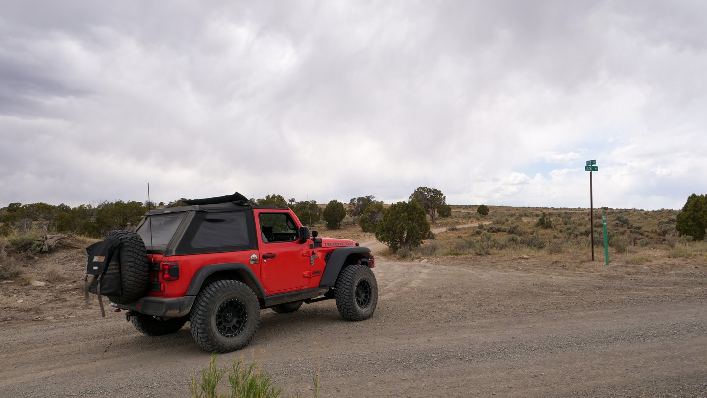
23. Shelf Road - Continue Straight (67.51 mi)
Continue straight. The road narrows a bit as it descends into the valley along a shelf road. No guard rails to be found here. This road seems like a good-old-fashioned trail through the backcountry.
24. Bottom of Hill - Turn Right (68.69 mi)
Turn right. At the bottom of the hill, the road will come to a "T" intersection. Going left will take you to Colorado Highway 141. A free campground, known as The Ballpark Campground, is nearby on the highway and along the San Miguel River. Turn right to stay on the Rimrocker.
25. Tabegauche River Crossing - Continue Straight (68.81 mi)
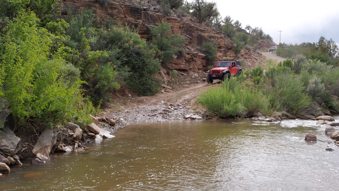
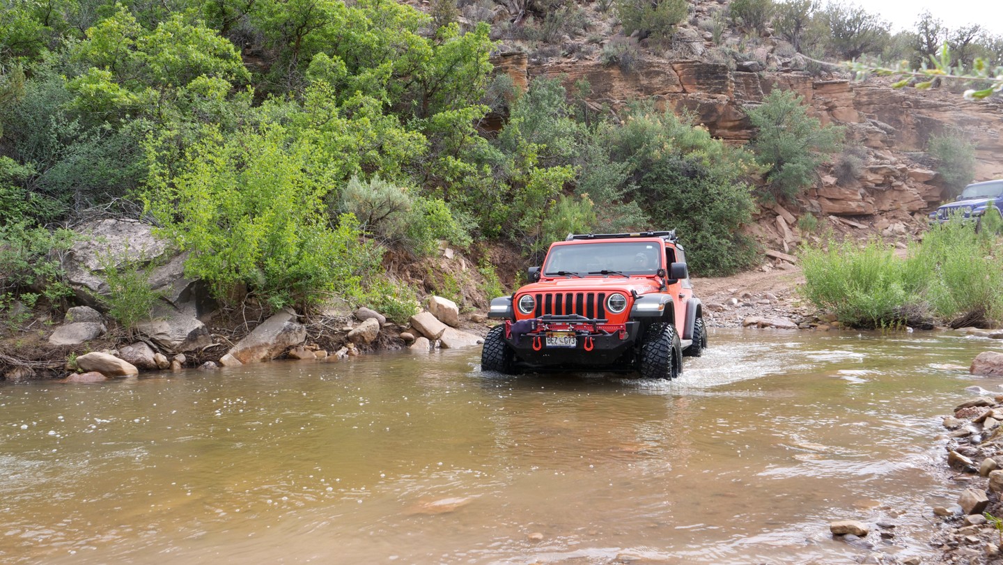
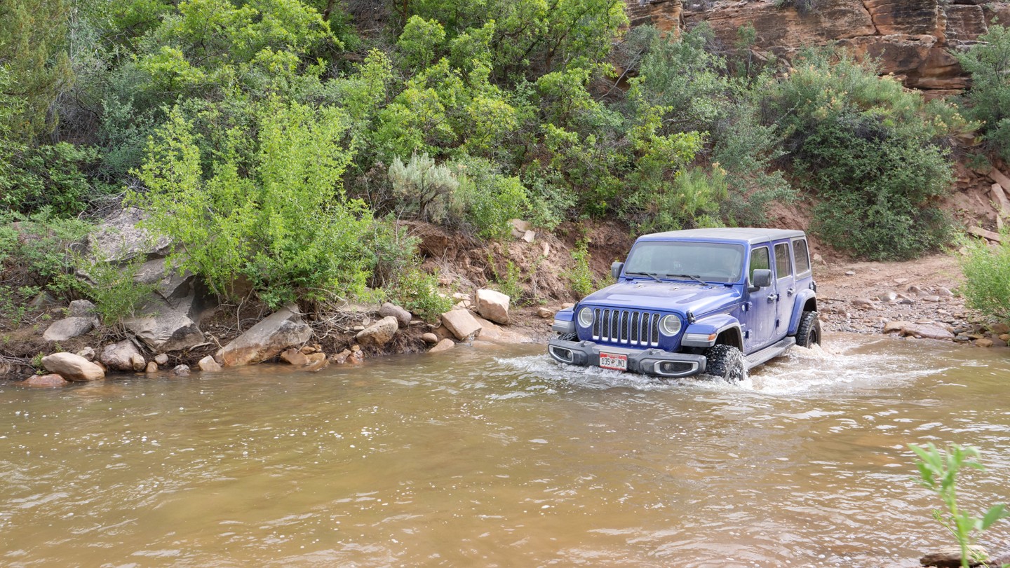
Continue straight. This is potentially the most dangerous obstacle along the trail, especially for short, stock vehicles. Crossing the Tabegauche River. The river can range from 12-24" depending on the season. Under the water, the road surface is stable and rocky making it easy to cross. The real danger here is getting water inside your vehicle. If you like river crossings, this one is pretty good.
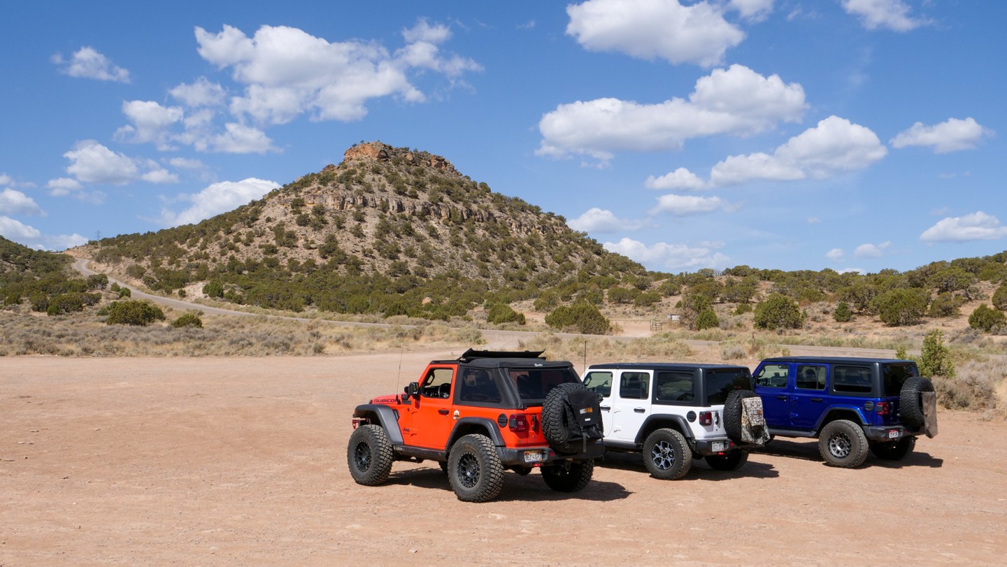
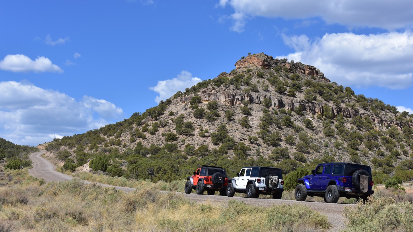
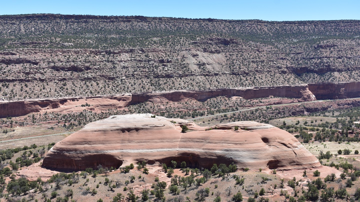
26. Rock Raven Mine Scenic View - Continue Straight (71.69 mi)
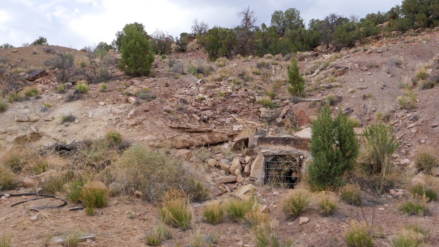
Continue straight. The mining history of Colorado comes to life throughout this next section of the Rimrocker. This site is the Rock Raven Mine. Looking down into the valley below along the San Miguel River is the ghost town of Uravan, Colorado. This was a mining town that provided uranium and vanadium for use in the Manhattan Project. The town is now an EPA Superfund site.
27. Spring Creek Truck Trail - Turn Right (72.85 mi)
Turn right. A turn to the left will take you to CO Highway 141. To remain on the Rimrocker, turn right.
28. U17 Road - Turn Left (73.03 mi)
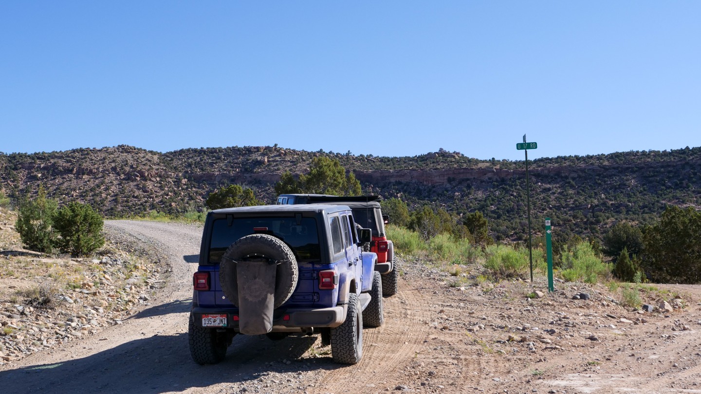
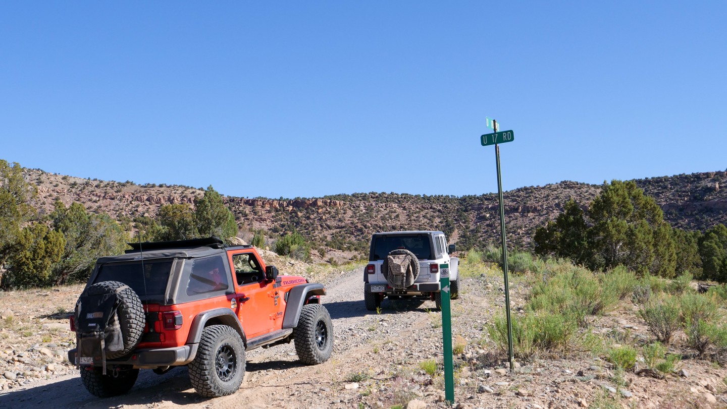
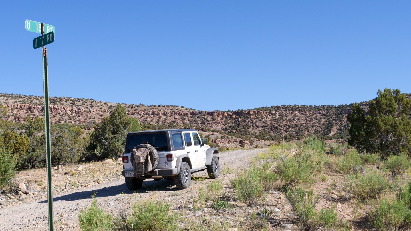
Turn left. There are some signs posted here to keep you on track. Veer to the left to remain on the Rimrocker.
29. Scenic Overlook - Continue Straight (73.81 mi)
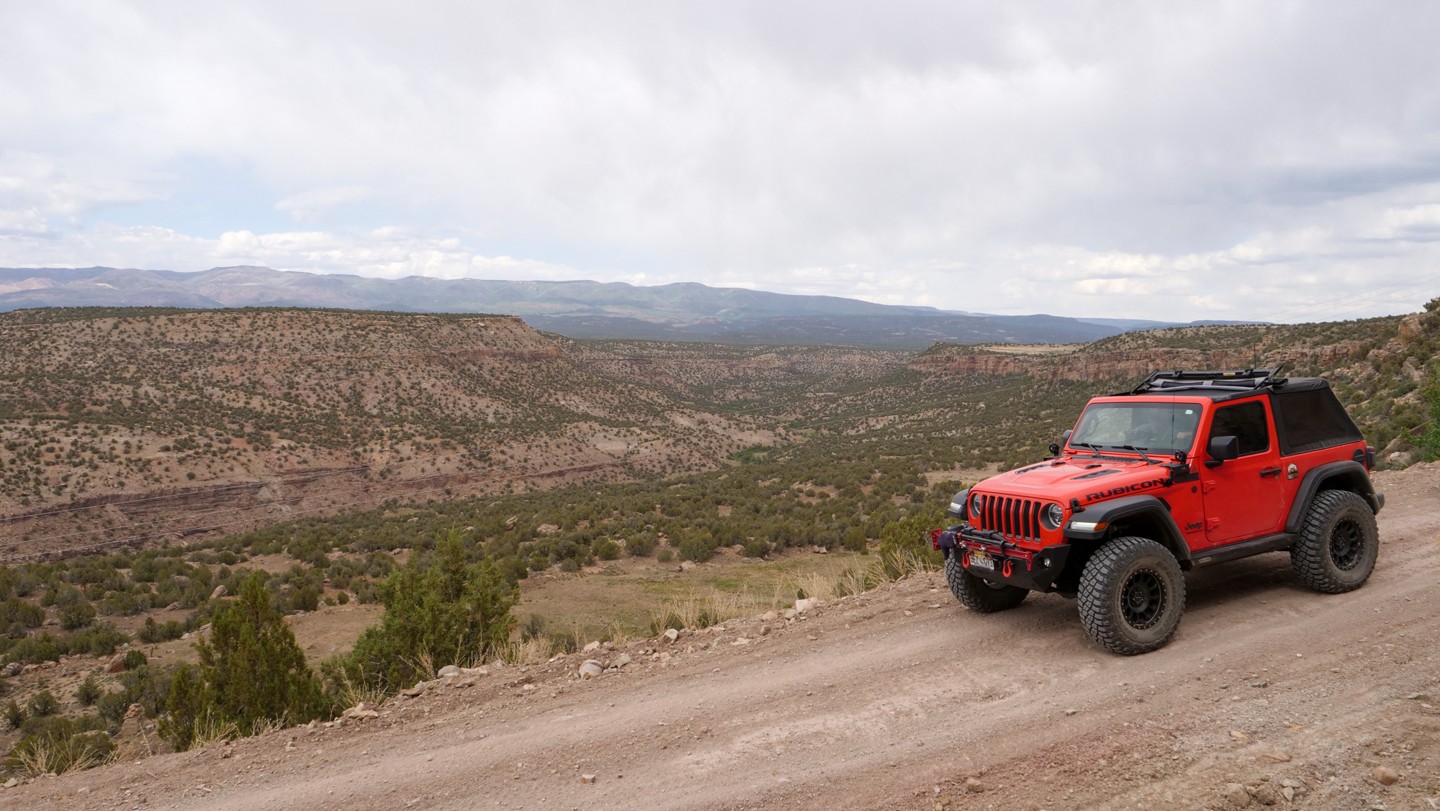
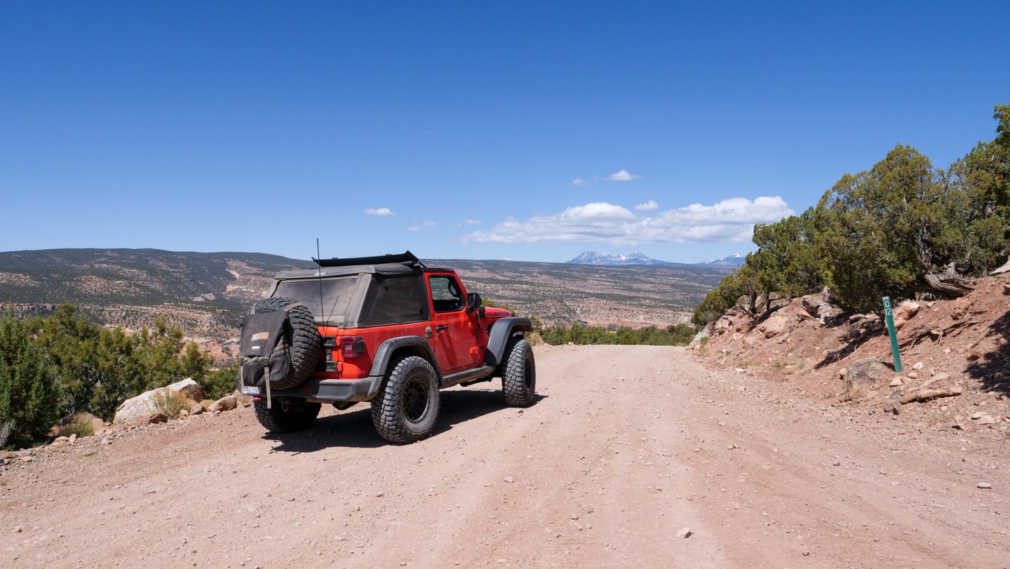
Continue straight. This old mining route remains atop the ridge overlooking the San Miguel River. Ahead, off in the distance, you can see the Manti-La Sal Mountains while behind, off in the distance, you can see the San Juan Mountains.
30. Power Plant - Turn Left (75.56 mi)
Turn left. The road to the right leads to an area known as the Department of Energy Uranium Reserve. These hills have not been depleted of uranium just yet. Uranium mining all but stopped in the 1980s only because of decreased demand.
31. Rocky Descent - Continue Straight (76.32 mi)
Continue straight. This short, rocky descent is a bit rougher than the trail has been so far. A few large rocks protrude from the road here. There is nothing too difficult here that cannot be solved with slowing down and paying attention to your line.
32. S17 Road and Creek Crossing - Turn Left (76.74 mi)
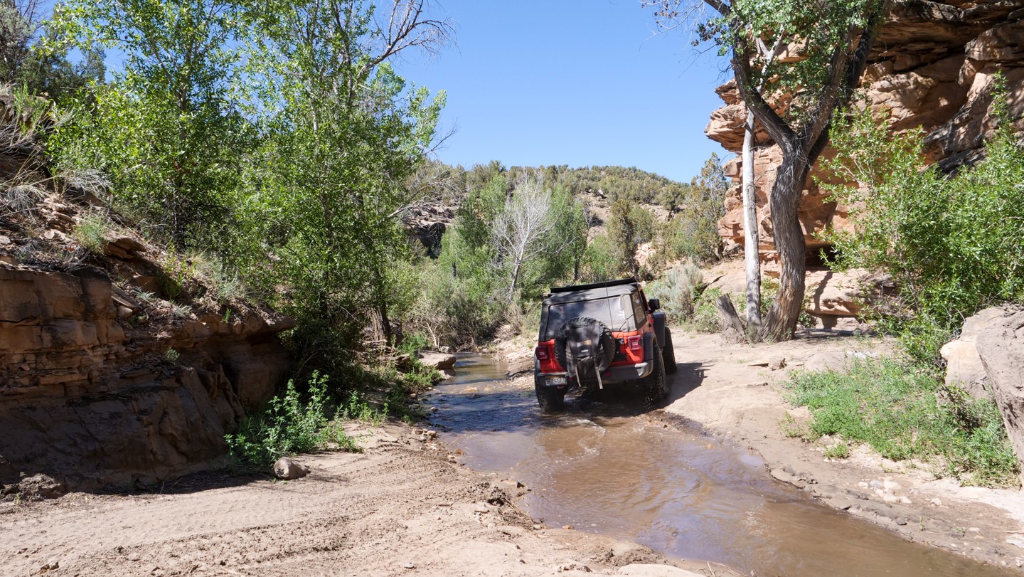
Turn left. Turn left onto S17 Road. Immediately afterwards there is a small creek crossing. This is the Atkinson Creek. The Rimrocker will follow this creek for a little ways and provide a few more crossings along the way. The creek is only a few inches deep.
33. Atkinson Creek Crossing - Continue Straight (77.21 mi)
Continue straight. You will cross Atkinson Creek twice within a few hundred feet. This area is a bit of a canyon with some trees and small rock outcroppings. Have your camera at the ready.
34. T16 Road - Turn Right (78.25 mi)
At the T16 Road intersection, turn right to proceed on the Rimrocker. Immediately after making the turn, you will cross the Atkinson Creek one final time.
35. S15 Road - Veer Left (81.81 mi)
Veer left. After the final creek crossing, you will ascend back up onto the ridge. At S15 Road, keep to the left to remain on the Rimrocker.
36. Abandoned Mining House - Continue Straight (82.58 mi)
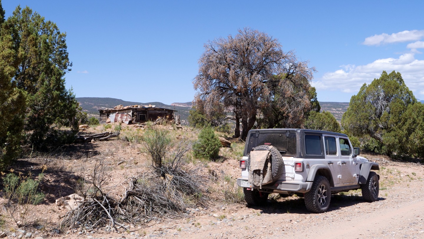
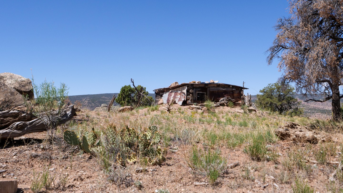
Continue straight. This dilapidated structure is a relic from mining life of yesteryear. Your imagination pictures the harshness of life from this era.
37. Highway 141 - Turn Left (87.63 mi)
Turn left. After completing the gradual descent from the mining ridge, the dirt trail intersects CO Highway 141. Turn left onto the highway for about 1.5 miles. The Rimrocker will resume as dirt shortly.
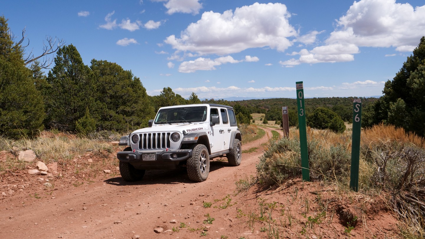
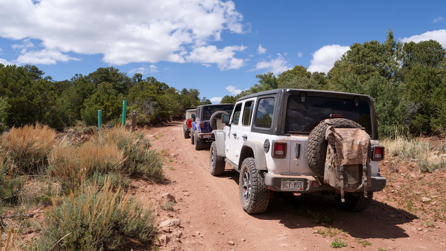
38. Q13 Road - Turn Right and Cross Bridge (89.07 mi)
Turn right and cross the bridge. Although this road is not well marked, you will find a large informational board along the road's edge right after crossing the Dolores River bridge.
39. Q13 Road - Veer Right (89.43 mi)
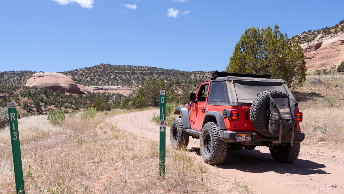
Veer right. R13 Road goes to a formation known as Biscuit Rock, a unique formation with some hiking and rustic camping opportunities. Keep to the right, onto Q13 Road, to continue the Rimrocker. As you climb this next section, you will experience great views of Biscuit Rock.
40. S12 Road - Veer Left (91.45 mi)
Veer left. You are now in an area known as Carpenter Flats. While Q13 Road is the main road in this area, the trail will include some of the lesser roads to provide some great views. On some maps, Q13 Road is sometimes referred to as Moab Road. At this intersection, veer left to remain on the Rimrocker.
41. Q13 Road - Turn Left (92.89 mi)
Turn left. Conditions here are hot, dry, and dusty during the summer months. Keep to the left to remain on the Rimrocker.
42. Option Climb - Left or Right Path (93.73 mi)
This is a very short option and both routes will end in the same spot. Going to the left is a little less steep, but rocky. Both routes are roughly the same and not difficult.
43. S10 Road - Turn Right (94.14 mi)
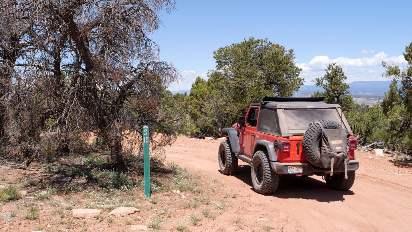
Turn right. S10 Road is one of the lessor trails that will loop back onto Q13 Road. S10 Road follows a ridge around the hill and provides some great scenery. Turn right onto S10 Road to continue the Rimrocker.
44. Q13 Road. Turn Right (96.06 mi)
Turn right. Here, you will rejoin Q13 Road.
45. T10 Road - Turn Left (96.46 mi)
Turn left. Actually, there is no wrong way here. For this route, remain on Q13 Road as it crosses Carpenter Mountain. These two roads will rejoin one-another in about a mile.
46. T10 Road - Turn Left (97.84 mi)
Turn left. This is where Q13 Road and S10 Road rejoin from the previous waypoint. Turn left here to continue the Rimrocker.
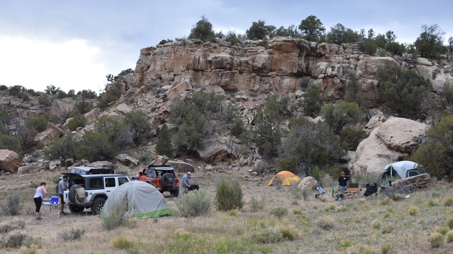
47. Epic Campsite - Continue Straight (98.57 mi)
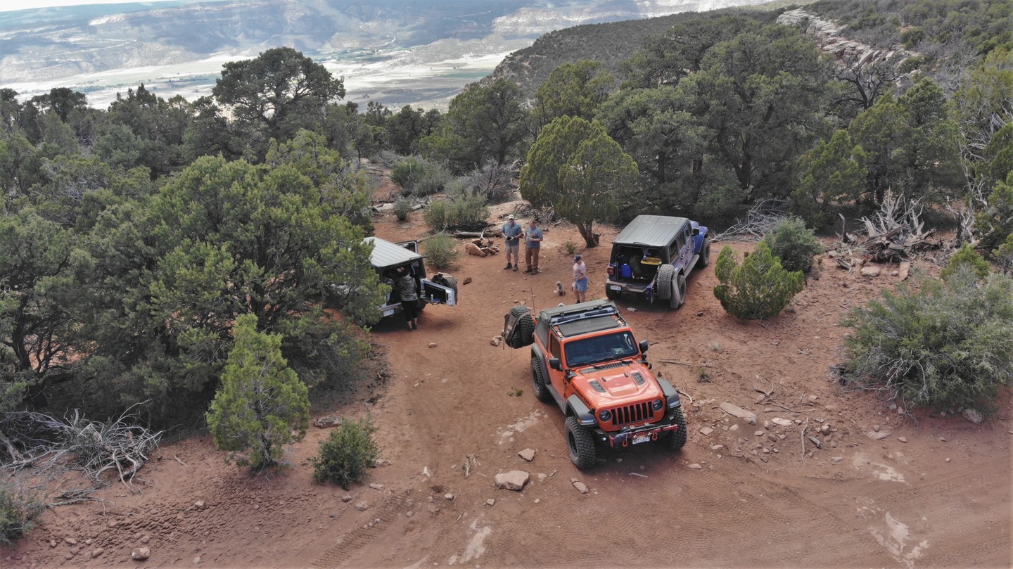
Continue straight. If its time to set up camp, this would be a great dispersed spot. The Rimrocker has been following the ridge that overlooks Paradox Valley. A few desert trees and shrubs provide a nestled campsite that is relaxing. This also makes a great picnic lunch spot if it's not yet time to make camp.
48. S6 Road and S5 Road - Continue Straight (101.98 mi)
Continue straight. Lessor roads take off to the right and the left. Continue straight to remain on the Rimrocker.
49. R3 Road - Turn Left (102.68 mi)
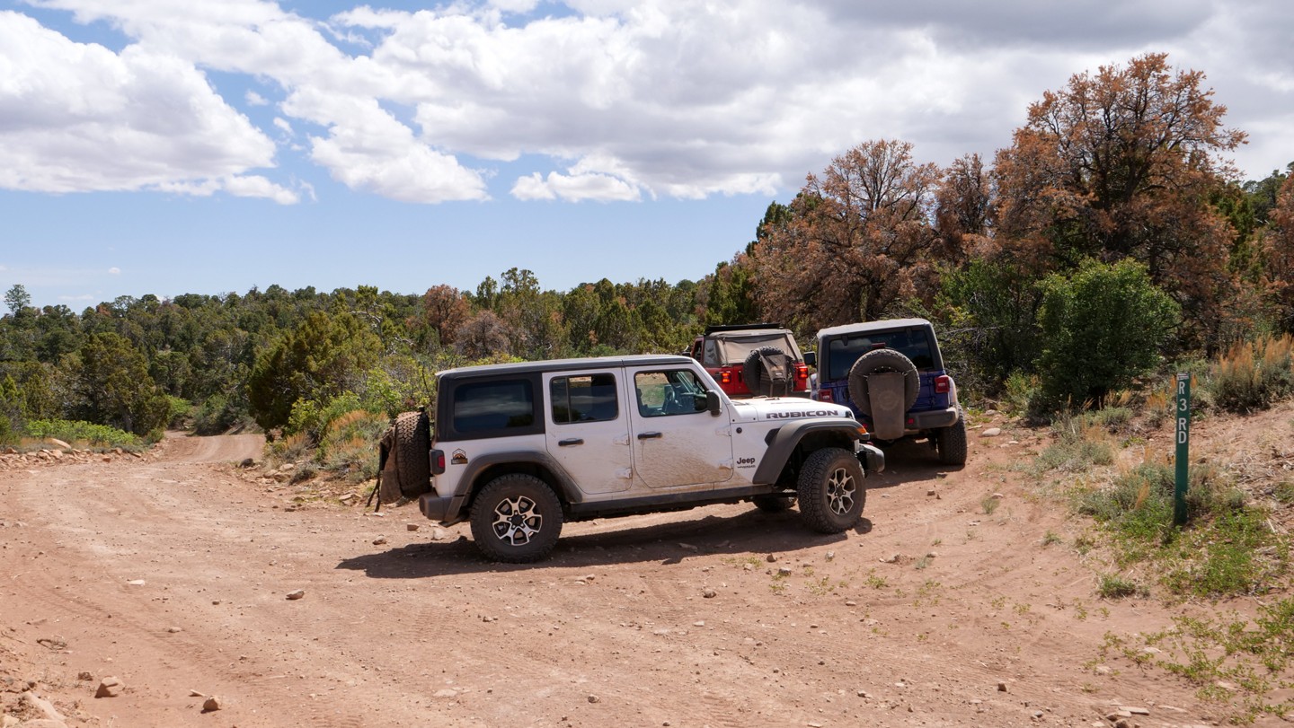
Turn left. The short route on R3 Road will take you by some beautiful views of Paradox Valley. Turn left here to remain on the Rimrocker. The route will reconnect to Q13 Road at the next waypoint.
50. Q13 Road - Veer Left (104.12 mi)
Veer left. R3 Road reconnects with Q13 Road here. Veer left back onto Q13 Road. This area is beginning to look less desert-like as the route nears the Manti-La Sal National Forest.
51. Q3 Road - Continue Straight (105.36 mi)
Continue straight. Now in the Manti-La Sal National Forest, the Rimrocker marker signs are again brown in color instead of green. Continue straight to remain on the Rimrocker.
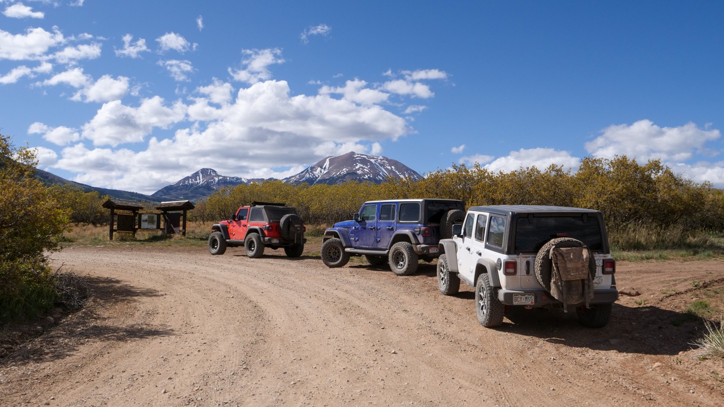
52. Buckeye Reservoir - Continue Straight (107.05 mi)
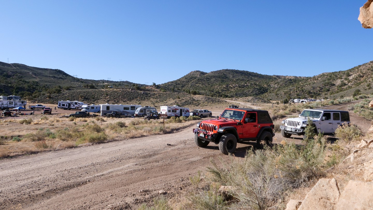
Continue straight. Buckeye Reservoir is a popular recreation area with camping, biking, and fishing. The roads here are once again well maintained and wide enough for two vehicles. Camping is restricted to designated sites.
53. Buckeye Reservoir Campground - Continue Straight (108.26 mi)
Continue straight. A sharp left here take you to the main Buckeye Reservoir user area and campground. Large, old-growth pines and mountain vistas are abundant.
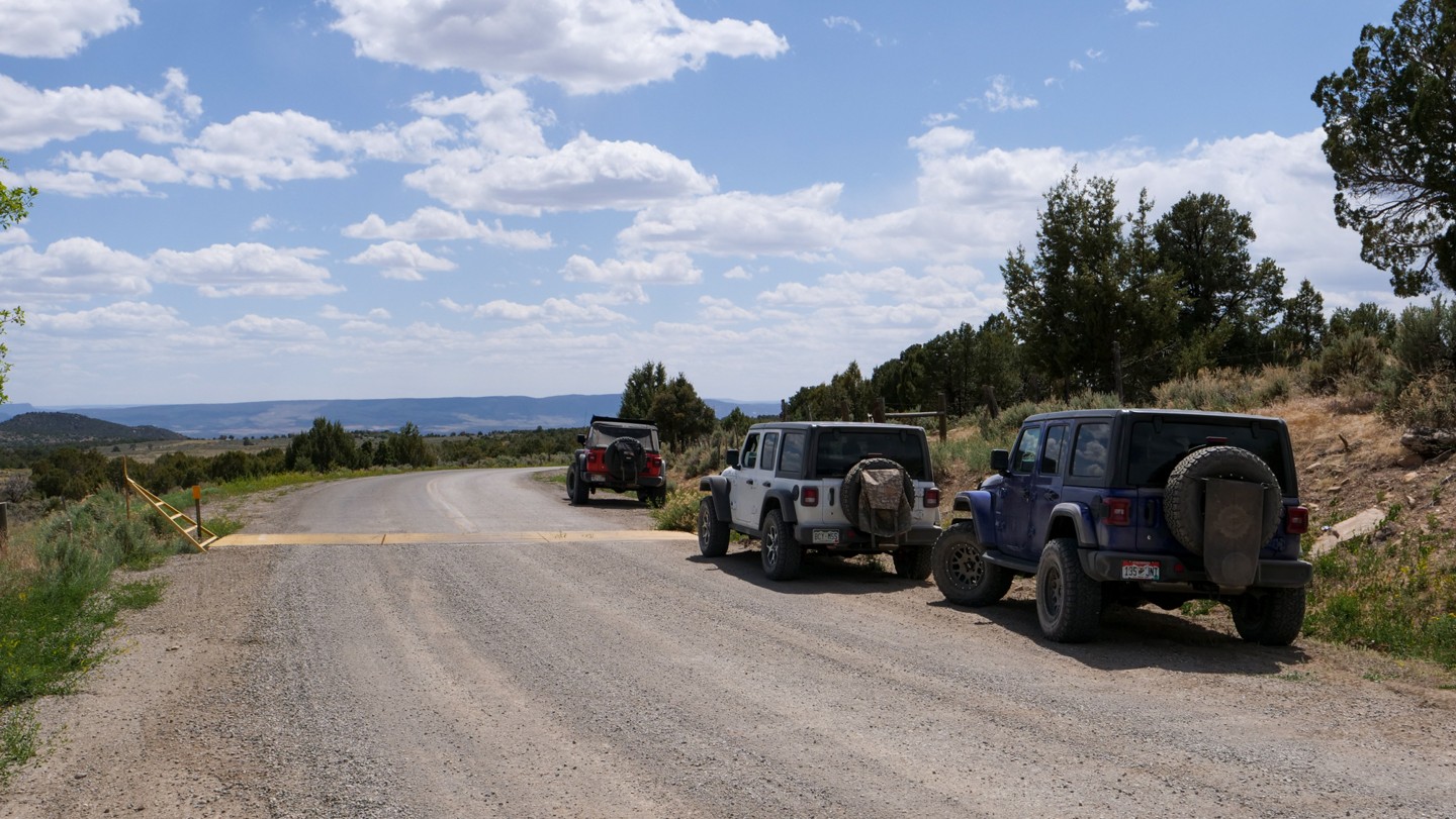
54. CO/UT State Line - Continue Straight (108.84 mi)
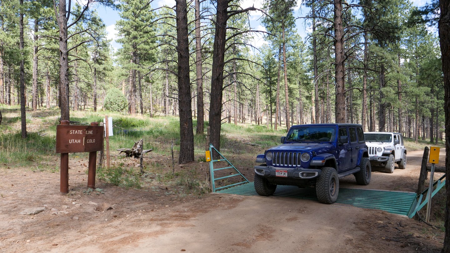
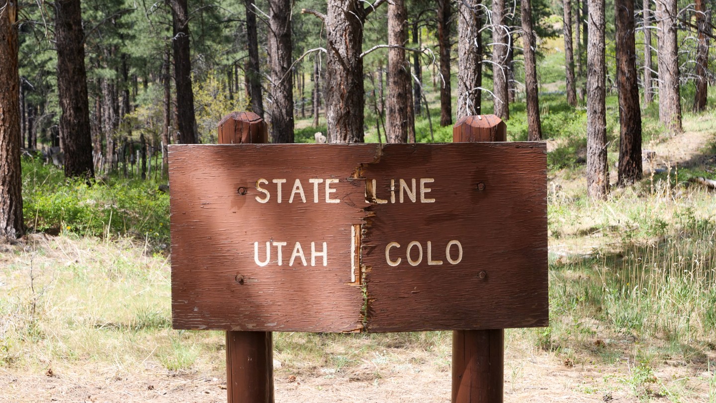
Continue straight. The Colorado - Utah state line is well identified. A small ranger station located here appears to be built straddling the state line. We suspect that was intentional.
55. Two Mile Road - Turn Left (112.55 mi)
Turn left. This road is known as Two Mile Road although we found it much longer than that. There is also a sign indicating this is also known as San Juan County Road 154. Turn left here to remain on the Rimrocker.
56. Road 1501 - Continue Straight (117.65 mi)
Continue straight. There is a sign on the intersecting road that calls it Road 1501. This road may lead to private property to the north. Continue straight ahead for the Rimrocker.
57. Dark Canyon Lake Road - Continue Straight (122.02 mi)
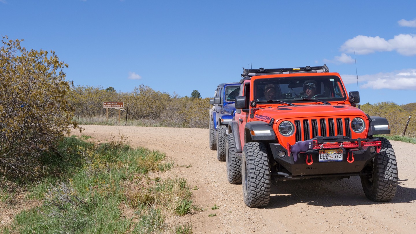
Continue straight. Dark Canyon Lake Road (USFS Road #129) takes off to the north. This road also eventually goes over Geyser Pass. For Rimrocker, continue straight ahead.
58. La Sal Pass Road - Turn Right (124.68 mi)
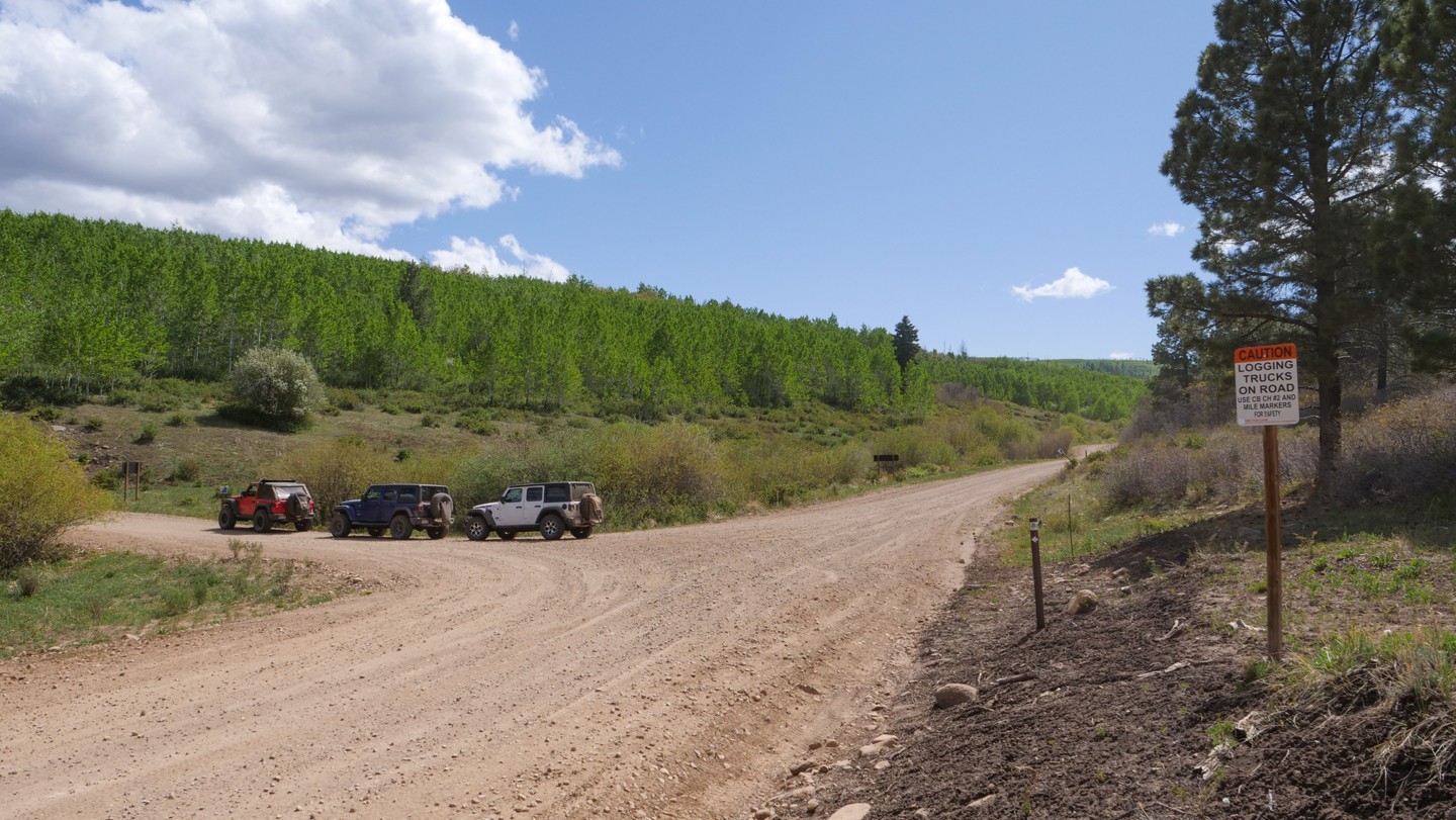
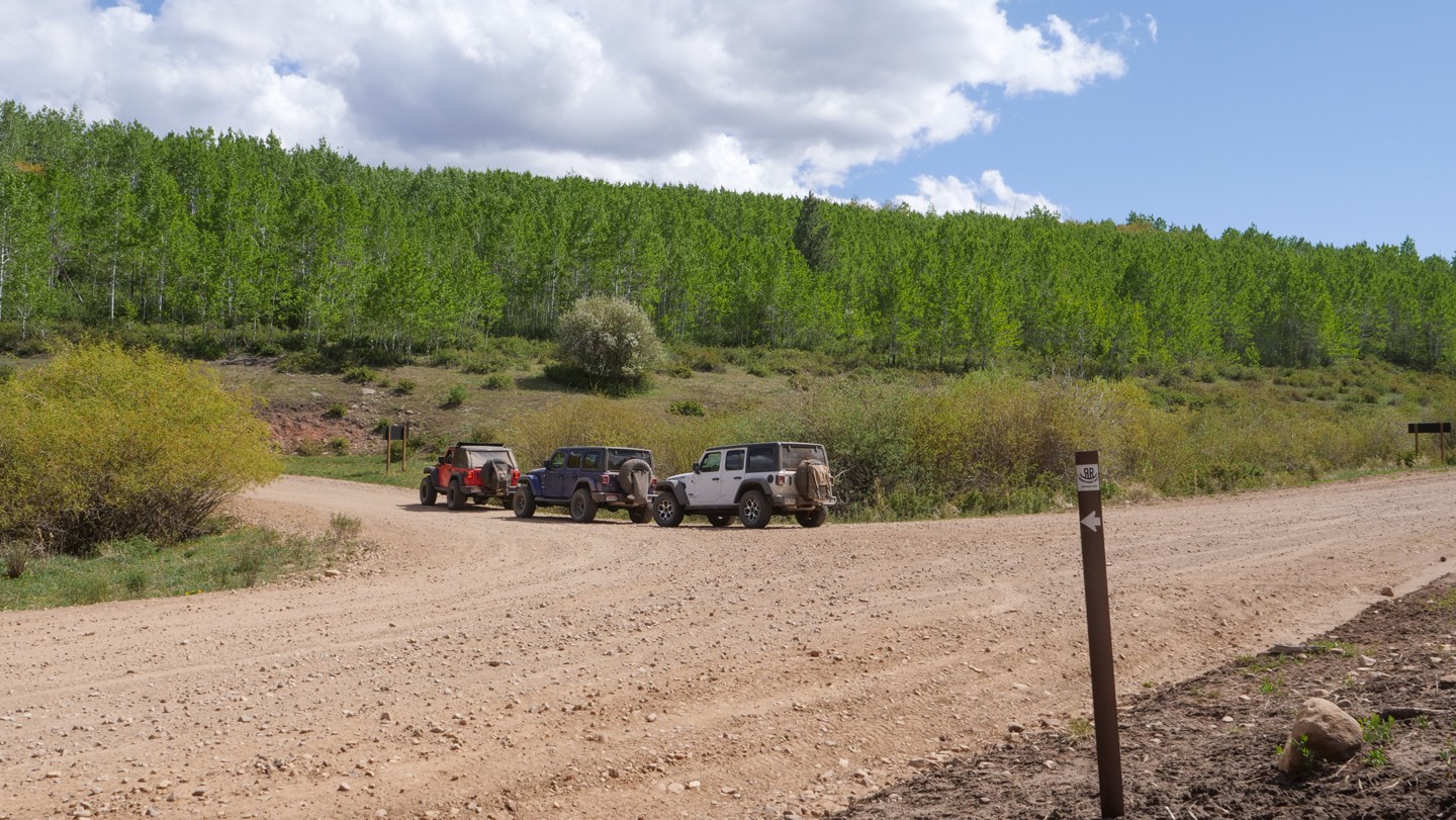
Turn right. Turn onto La Sal Pass Road (AKA USFS Road #73) heading northbound. This next section of the road sees considerable ATV and side-by-side traffic. The area is also popular for dispersed camping. Turn right here to remain on the Rimrocker.
59. USFS 128 - Turn Left (125.9 mi)
Turn left. Turn westbound onto USFS Road #128. The trail will get considerably more narrow and rougher. Brush lining both sides of the road ahead can cause pin striping. Trailers are not advised through this next section.
60. USFS 717 - Keep Left (130.91 mi)
USFS Road #717 heads off northbound. Keep left to remain on the Rimrocker.
61. Lackey Basin Road - Continue Straight (131.22 mi)
Continue straight. This is known as Lackey Basin Road (USFS Road #717).
62. USFS 764 - Turn Right (131.61 mi)
Turn right. The USFS Road #764 is unmarked, but the route is well established. Turn right to remain on the Rimrocker.
63. USFS 757 - Turn Left (134.48 mi)
Turn left. Turn onto USFS Road #757 and proceed westbound. This 3 mile stretch of road begins to smooth out as compared to the past few miles of a rocky, bumpy, teeth shattering, brain-rattling route.
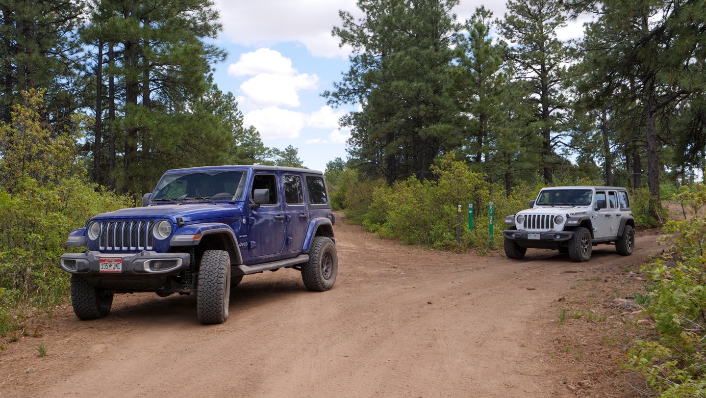
64. Black Ridge Trail - Turn Right (137.28 mi)
Turn right. Black Ridge Trail is a winding canyon road that makes the final drop into the Moab Valley. This segment of road is not difficult, but it is rocky in a few places.
65. Pole Canyon Road - Turn Right (143.98 mi)
Turn right/north onto Pole Canyon Road. There are several large group camping opportunities between here and the next Waypoint. You will also pass Area BFE, a 320 acre private recreational park for off-road enthusiasts.
66. Coyote Canyon 4x4 Route - Continue Straight (147.28 mi)
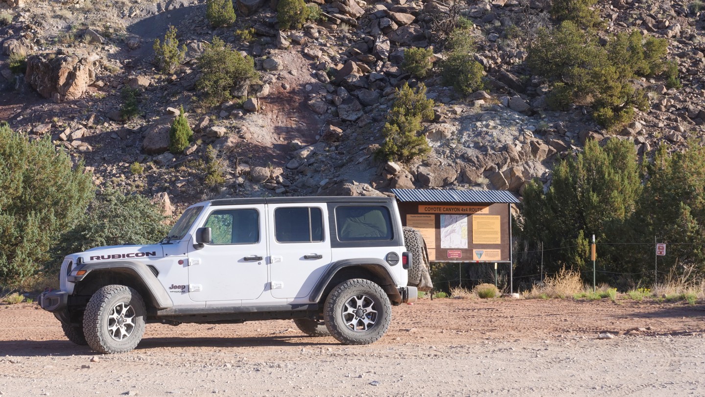
Continue straight. On the right side of the road, you will find the trailhead for Coyote Canyon 4x4 Route. This wheeling area has a difficulty rating from 9.5 to 10. This is extreme off-road rock crawling. Coyote Canyon 4x4 Route requires drivers to obtain a permit weeks in advance from the BLM.
67. Frontage Road - Turn Right (148.69 mi)
Turn right. About 200 feet before reaching the highway, there is an unmarked trail that heads to the north. This is where you want to turn. If you've gone to the pavement, you've gone too far to remain on the Rimrocker. Then again, if you go to the pavement, turn right onto Highway 191 and it becomes the main drag through Moab.
68. Yellow Circle Road - Veer Left (149.53 mi)
Veer left. Join Yellow Circle Road and continue northbound. There are often large groups camping in the field to the east.
69. Gate - Veer Right then Left (150.19 mi)
Veer right then left. There is a cattle fence here. Close the fence behind you after going through. The left is right after the fence.
70. Unknown Road - Veer Right (150.38 mi)
Veer right. There are no road signs out here, so stay alert to the directions.
71. Unknown Road - Veer Left then Stay Left (150.69 mi)
Veer left then stay left. The roads out here are old ranch roads, many of which do not have names. Keep an eye on your GPX to help you stay on the right path.
72. Unknown Road - Continue Straight (151.89 mi)
Continue straight. This new, well-developed gravel road's name is not known. Cross the road and continue straight to remain on the Rimrocker. A turn left here will take you to Highway 191, the main road through Moab.
73. La Sal Loop Road - Turn Left (153.14 mi)
Turn left. You will get back on the pavement here and proceed north into town on La Sal Loop Road.
74. Trail Ends in Moab (160.73 mi)
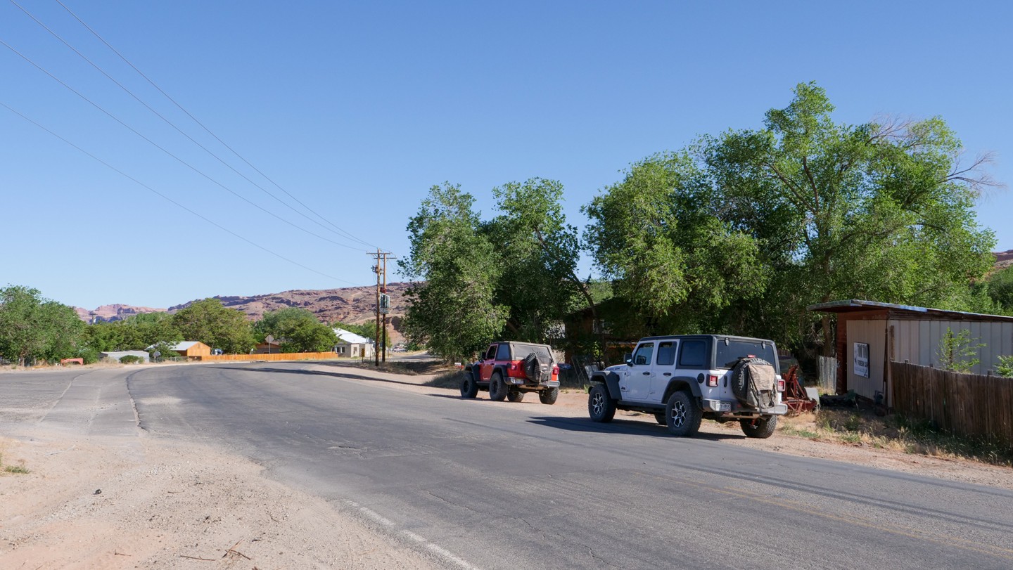
The Rimrocker ends in town on the south side of Moab, Utah.
Dispersed
Designated
Camping conditions change as you progress along the Rim Rocker. Much of the route allows for dispersed camping with one area of designated camping only. Some other areas are just not suited for a pleasurable camping experience.
The first 50 miles travel through the Uncompahgre National Forest. Dispersed camping is abundant and the forest contains a few improved campgrounds with some pit toilets available.
After Nucla, CO, the trail travels through BLM controlled property and allows for a more high mountain desert-like dispersed camping experience.
Once you enter the Manti-La Sal National Forest near Buckeye Reservoir (Waypoint 52), camping is restricted to designated camping spots only.
Dispersed camping is allowed along most of the rest of the trail, however, harsh terrain conditions between Waypoints 59-63 make the area unsuitable for camping. There are portions of private property as you near Moab.
Here are a few official websites that can help you find suitable camping to match your needs:
Utah BLM
Manti-LaSal National Forest
Uncompahgre National Forest
Starting Point
Montrose, Colorado
Travel west on Colorado Highway 90, which initially follows East Main Street/Spring Creek Road in Montrose. As you leave town, continue to follow Colorado Highway 90 (taking several 90-degree turns) for 8.3 miles to the end of the pavement. There is a large parking lot on your left. This is the start of Rim Rocker.
Trail Reviews
4.6/5 (56)
Open
Rated
4/5
Visited: 10/08/2022
Difficulty Accuracy:
Spot On
We ran this trail over the course of 2 days from Montrose to Moab. Up until you reach Nucla, the trail is a mixture of pavement and forest service roads. The only real obstacles are the open range cattle. We did not air down until we got back on the dirt after Nucla. The first water crossing was low and easy to traverse. The majority of the trail is easy with only a few small obstacles which a stock 4x4 could tackle. In my honest opinion Waypoint 47 the “epic campsite” should be removed. It’s a small clearing on the side of the road. We initially were planning to camp there but found a truly epic campsite further east. I would have been very disappointed had we pushed further to make it to that campsite. As you cross into Utah the road goes back to a forest service road. There are a few miles closer to Moab that become extremely rocky and almost to the point of torturous if you’re in a hurry to get to Moab. All in all it’s a great trail and as previously stated, Fall is the perfect time to do the trail due to all of the fall colors.
Open
Rated
5/5
Visited: 10/04/2022
Difficulty Accuracy:
Spot On
What a truly awesome overloading trail! Really fun, varied, and mild-moderately technical. Was mostly dry except for a fun amount of mud before and after the waypoint 52. All creek crossings were either dry or fairly low. Took about 6-7 hours for me to get from waypoint 1 to where I camped around waypoint 51. Found a phenomenal dispersed campsite. Incredible views, leaf change, and weather. The next day was about 4 hours to the end of the trail. I enjoyed every bit of it (except maybe the few miles of pavement going through Nucla), Don't expect this to be a "wheeling" trail. This is a mildly technical overloading trail and it's a lot of fun. I'm gonna say that this trail was barely a 3 in difficulty when I did it. Much less technical than the White Rim which is also rated a 3. I suppose if the creek crossings were high or the mud deeper it would then be a solid 3. Still going to say it's a 3 but its a pretty easy one as far as technical driving goes. Also, fall is the best time to do this trail in my opinion.
Open
Rated
5/5
Visited: 09/29/2022
Difficulty Accuracy:
Spot On
Great time. Encountered a massive storm at marker 23 that lasted for over a day. Did not see another vehicle until just outside of Moab which was nice, plenty of camping. Brought a DJI 3 for some aerial shots, cannot wait to run this again next year.
Open
Rated
4/5
Visited: 09/14/2022
Difficulty Accuracy:
Spot On
Trail was great. Need to tell more about after crossing into Utah Road gets really rocky after la sal rate is a 1 or -1. It did get better. You need minimum of 2 day
Open
Rated
3/5
Visited: 09/04/2022
Difficulty Accuracy:
Easier
We did the western half last October and decided to come back and do the whole thing this year. We were super disappointed to find the eastern "half" is 80% graded gravel (or paved) road, which definitely explains how people get it done in a day, as we did. As is this should be split into two trails to at least make that more apparent. Had a blast in south West Colorado out of Ouray after this though so the trip was super worth it.
Open
Rated
5/5
Visited: 09/02/2022
Difficulty Accuracy:
Spot On
We ran the trail over the long holiday weekend. Forgot hunting season was underway, so lots of traffic in the forests and challenging to find a camp spot. We decided to do the Roubideau Jeep Road loop near the Iron Spring campground. The middle of that trail was challenging but lots of wheeling fun! Did a lot of scraping and had to use the lockers at least twice. The rest of the trip we had the trail mostly to ourselves. Was hot and really dry. The views all around were stunning and made the trip worth every bumpy mile. Water crossings all bone dry. The washout on the road near Moab was closer to waypoint 72. It is significant. There are no detour signs so we just went in and out. It was about 10 feet across and about 5-6 feet deep. An effort was made to grade berms going in and out. Trucks may have a hard time with the longer wheel bases. At that point, there are several opportunities to turn left and get on the highway. Overall, was an amazing trip and would definitely recommend!
Open
Rated
5/5
Visited: 07/29/2022
Difficulty Accuracy:
Spot On
Ran the trail from East to West over two days. Normal water crossings were minimal, however we did experience rain both afternoons. Ran into two separate groups that were doing the trail from West to East on the first day, and a lone ATV on the second. Trail is well marked the entire route.
Open
Visited: 07/24/2022
Difficulty Accuracy:
Spot On
Montrose to Moab: Three days, two nights. Dry as a bone and not a single other Overlander to be seen. Loved every dusty mile of it. Never too hard but the seclusion and remoteness kept our attention. Recommend staying overnight at the Buckeye Reservoir campsite. Again, not a soul there besides our two Jeeps.
Open
Rated
5/5
Visited: 06/17/2022
Difficulty Accuracy:
Spot On
We completed this trail over two days and one night. Probably would have been less strenuous over 3 days and 2 nights if you really want to enjoy the trail. My favorite stretch was between Nucla to highway 141. Plenty of great campsites along this stretch. We didn't have any water crossings, everything was bone dry during our trip. We didn't see many people aside from passing through the national forests.
Open
Visited: 05/29/2022
Difficulty Accuracy:
Spot On
Had a good time on this trail! We took it from Montrose to Moab but turned north onto the La Sal Loop Road to avoid going into town. I took my stock 2nd Gen Tundra long bed and only hit the tow hook once, hitch once, and side steps a few times. Had to 3 point a few turns due to my length. Lots of camping options in the treed areas. Definitely try to camp near Buckeye as it's the most beautiful in my opinion.
Open
Rated
5/5
Visited: 05/18/2022
Difficulty Accuracy:
Spot On
Just finished the Rimrocker Trail from Montrose to Moab.
Great trail water crossing was probably 30 inches deep. We had to move a few trees that were still across the trail but no big deal. No one on the trail.
Iron springs campground was not open but there was plenty of camping along the way.
Open
Rated
5/5
Visited: 10/15/2021
Difficulty Accuracy:
Spot On
Completed the western portion from 141 to 191 on 10/15, took about 5 hours for the ~58 mile stretch. There was a really sketchy area with a mountain to the right and a cliff to the left with mud causing some slipping toward the cliff. But we made it. Incredible views. We're planning on going back to do the whole thing, maybe a little earlier in the season next time though. 2019 Tacoma DCLB TRD-OR with 265/75R16 tires on stock rims, stock suspension; upgraded rock sliders, skid plates, and a front bumper. About 7 miles of the Utah side was solid ~4inch rocks in the center of the trail that I might have cleared with 33's, and definitely with 35's but as is I was picking lines the whole way to avoid clanging the skid plates. Had a blast!
Open
Rated
5/5
Visited: 09/21/2021
Difficulty Accuracy:
Spot On
Ran the trail from Montrose to Moab over 2 days. We found a campsite, with awesome views, right on the rim the Mesa just before the border between BLM land and Manti-La Sal National Forest. The trail is very well marked by Rimrockertrail.Org. Between Nucla and Moab when 2 or 3 roads met there was never a doubt as to which road was part of the Rimrocker trail. Although I agree with the 3/3 rating given, our trip was completely dry, no rain, no mud and no river crossings. From that perspective I would rate the trail as 2/2.
Open
Rated
5/5
Visited: 08/09/2021
Difficulty Accuracy:
Spot On
Ran the Rimrocker from West to East in August, and had a GREAT time. Nothing too challenging along the way, although the drought in that part of the US meant that the river crossing, while empty, was a muddy mess. Still, made it through no problem.
I documented our trip along the Rimrocker in the video linked here, so if you're looking to run the trail, give it a watch and you'll get a good idea of what to expect!
Open
Rated
5/5
Visited: 07/19/2021
Amazing trail, make sure you bring extra memory cards and batteries for the camera the vistas are never ending. Note, we did have to divert from the main trail on the west end of Paradox valley due to the recent fires and a few days of some good rain storms (mudslides and high water) while we were on the trail.
Extra thanks to Todd for marking the "Epic" camp site. We thought the site itself was really unique but didn't realize how epic it was till the next morning (rolled in at sunset) the overlook of the valley was amazing and caused a later start than planned as we enjoyed the sunrise and coffee.
link to a few pics
https://photos.app.goo.gl/3abmm72qowfQ6kbU8
Open
Visited: 07/08/2021
Ran this trail from Moab, UT to Nucla, CO. Except for an EXTREMELY slick section of trail at the west end of the Paradox valley due to a short rain shower it was very dry. Only encountered one other party headed west (except for the ranch truck just west of Buckeye Reservoir and some folks at Pioneer Campground). Based on the Gaia GPS track, the 100 miles of trail we ran took us roughly 7.5 hours.
Open
Rated
5/5
Visited: 07/03/2021
Difficulty Accuracy:
Easier
I did this trail over the 4th of July weekend. It was an amazing trail. Not very technical but very scenic. I highly recommend downloading the Gaia GPS trail prior to going out as some of the turns are not labeled immediately and can be a little confusing. I camped at the Buckeye reservoir and thought it was by far one of the best camp sites in such a remote spot. There is abundant wildlife throughout the trail. The forests were beautiful. If you are looking for a back road to get you to southern Colorado, I highly recommend this trail. Check in with the Rim Rocker society and send them a few pic to use on their website and they might send you a Rim Rocker sticker for your rig also.
Open
Visited: 06/06/2021
I planned to run this trail in one day, but decided against the idea halfway through. It’s beautiful. I definitely slowed down, stopped often, and decided to camp. Hitting it Sunday/Monday was a blessing. Very little traffic and no one was around when I was camping. Exactly what I was looking for. The Trail was dry (albeit loose rocks and sandy in areas), and all the water levels appeared low and easy to pass. I would have stayed on the trail another day if I did not have things scheduled this week.
Open
Rated
4/5
Visited: 06/05/2021
Difficulty Accuracy:
Easier
Great trail. Took 2 days to complete in two full size trucks. I don't recommend trying to make it one day. If you're in a full size , take a chainsaw, you will need it. (Unless you go in the next few weeks as I cleared it lol) water crossing was low due to the drought. Loved this trip will do again.
Open
Rated
5/5
Visited: 06/01/2021
Difficulty Accuracy:
Spot On
This trail is by far the most fun I've had overlanding so far. We did it headed west and would highly recommending it for anyone looking for a fun, easy overlanding adventure. We spent 3 days on the trail taking our time and didn't feel rushed at all. Saw about 3 or 4 vehicles over the entire 3 day period which was awesome as well. Some pinstriping likely in a few spots unless you're extremely careful - and maybe not even then. No issues the entire trail with difficulty and so many places to stop and explore. I anticipate that we will be doing this trail again with some friends in the near future.
Open
Rated
5/5
Visited: 05/28/2021
Traveled Rimrocker over the course of 3 days to make the drive leisurely and take time to see the sights. The trail was in good shape and I almost missed the river crossing as there was almost no water in it, only maybe 3 inches deep. Buckeye reservoir was very low too.
Open
Rated
5/5
Visited: 09/28/2020
Rovers Jeep Club ran the Rimrocker over three days from east to west. 6 vehicles with 11 people coming from 4 states. We did the Roubideaux Jeep loop and bypassed 32 miles of graded and paved road by way of the Burro Creek alt. trail. I highly recommend this more scenic and rough route. It's a steep, rarely traveled two-track trail that takes you from the forested plateau down to the redrock desert west of Nucla in just 15 miles. We camped along Tabeguache Creek (dry) where Burro Creek trail comes back into Rimrocker. Day 2, explored a few mines in the Uravan area and took a side trip along the San Miguel to see the Hanging Flume. It's a must see. Camped at the group site at Buckeye Reservoir. Very little water in the lake but we were entertained by the cattle grazing in the lake bed and as we packed up the next morning we lined up along the fence in camp and watched three cowgirls and their dogs round up the cows and drive 'em off the lake. Very entertaining. Day 3 came into Moab on fumes as everyone had 5 gallons in gerry cans but we were divvying it up for the neediest in the group. The trail is, for the most part very well marked but be warned...we discovered several downed turn arrow signs, broken signs and flat out missing signs. This was mostly on the UT side. Here are some thoughts on Rimrocker: Bring more gasoline than you think you need. Dont rely on Nucla for gas as it's known to be out of it from time to time. Tow a trailer if you have one. Two of us in the group did. This is the perfect trail for it (I'm talking jeep trailers not travel trailers) I've seen reviewers write that they bypassed excellent parts of this trail because they heard it wasn't "trailerable"... not the case. I had no issues on the Roubideaux Loop side trip which is narrow, rocky and tight so the main Rimrocker is a breeze for towing. We ran across a couple having lunch near Bisquite rock towing a rented offroad teardrop trailer with a GVWR of 3500 lbs! It was as big as their Tacoma. As well marked as this trail is, don't relay on signage. Familiarize yourself with the route and use GPS. Give yourself time to explore. I could have spent days on the rim above Uravan kickin' around all the mines and side trails. 3 days is good but I would do 4 next time. With side trips we were at about 180 total mileage. We saw temps in late Sept from the 20's to the 80's so plan on hot and cold. From beginning to end this trail lies in open cattle range and multiple times our whole train was stopped for cows in the trail. This is a great trail. Plan on taking your time and soaking it all in.
Open
Visited: 09/23/2020
I did this trail with a stock Jeep JL Sahara and it was a blast. There weren't any areas that the Jeep couldn't handle. We only camped one night, doing the trail in two days but I would highly recommend allocating time for two nights. Didn't have any issues with the waypoints or directions on the trail. Lots of incredible views and cool places to sleep. Definitely just make sure to air down! Just when you think the rocks are coming to an end, they're not. Great trail, probably the best I've been on, just be prepared to to go slooowwwww at times.
Open
Rated
5/5
Visited: 08/06/2020
Awesome trail that has its easy parts and it's slower parts. We took our time coming from the Moab side and camped twice. Once around waypoint 60 and again around waypoint 12. Started at about 4pm on Thursday and was finished about 11am Saturday. All the water crossings were dry this time of year.
Open
Rated
5/5
Visited: 08/02/2020
Great overland trail. I ran it westbound from Montrose. Didn't see a single other vehicle from Nucla until we were into Utah. I ran it in my mildly lifted F150 supercrew longbed with no problems.
I would recommend a vehicle with good clearance and 4 low range as some spots are pretty rocky and steep. Most of the steep grades showed 9-12% with one short piece showed 18%.
This is a long trail with a lot of variety in scenery and technicality. We did it in one long day, but if you have time and like to camp, staying overnight along the way would be good.
Open
Rated
5/5
Visited: 07/22/2020
A fun trail that I just completed. None of the water crossings were an issue at all this late in the season. I found the detailed directions listed above to be unnecessary as the Rimrock is very well marked for the entire length. Someone has done a lot of good work marking the trail with the green signs. I did have the printed description from the Rimrockertrail.org site and that was a big help. I think it could be done in 1 day, but I stretched it out to a day and a half by camping at Buckhorn Reservoir near the Colorado/Utah state line. The weather was overcast with occasional sprinkles of rain throughout my two days on the trail, but that was no problem at all and helped keep the dust down. I did not encounter a single vehicle which surprised me a bit. Maybe the weather kept everyone home. Saw a bit of wildlife - coyotes and LOTS of cows!
Open
Visited: 07/07/2020
We were very worried about the ROC fire that closed the Rimrocker road just past the Buckeye Reservoir. We drove 2 mile road to Buckeye Reservoir day one because we were advised to avoid the section between there and Moab with trailers. We had a great camp spot at the group camp at Buckeye Reservoir.
Day 2 we pulled our overlanding Trailers all the way to Montrose. It was a long but not hard, day. I followed the trailsoffroad guide on paper backward (west to east) and missed a couple turns because the roads looked equally traveled.
There was no gas in Nucla and we had to make a side trip to Naturita to find gas. (Even there only two of 9 pumps were giving gas).
I'll do this one again without a trailer so I can go from MOAB to Montrose. This shortcutted about 50 miles. No water at all in the Tabagauche river crossing. Greatest part was descending into and climbing out of the Dolores River Canyon.
Printing out the .pdf map from https://rimrockertrail.org/trail-maps/ and the .pdf Trails offroad Trail Guide helped immensely. Between the Buckeye Reservoir and the Dolores River, there are numerous forks that will be encountered and it could be hard to decide which way to go. (But they eventually rejoined the main road). Keep a sharp eye out for the brown and green RR signs. They will help.
Partially Open
Visited: 06/30/2020
There is currently a fire burning part of this trail.
Moab, Utah, June 30, 2020- Despite high winds on the Roc Fire the last two days, no growth occurred. The fire acreage held at 210 acres, and is at 20% containment.
From rimrocker.org - "THE RIMROCKER TRAIL IS CLOSED FROM HIGHWAY 141 TO BUCKEYE CAMPGROUND THROUGH JULY 8TH. BUCKEYE CAMPGROUND IS CLOSED UNTIL JULY 8TH"
Open
Rated
5/5
Visited: 06/26/2020
Ran most of the trail with a few exceptions. I have been on part of this trail on a mountain bike hut to hut trip so I knew some of the route. We ended up on a few side excursions which are worth mentioning. Rim road outside of Montrose was a side road our GPS led us to while having issues. It is sort of a mini moab and rocky for sure but great views and an added hour or so to the trip. We also did the Burro creek alternate which was a little more technical but awesome views as well! Then past Nucla we diverted and followed the river to Paradox and reconnected via the jeep road to just before Buckeye. Then in Utah we heard north on Taylor flats road to the dinosaur lookout and then into Moab via Sand flats! Great trip
Open
Rated
5/5
Visited: 06/25/2020
I did this whole trail in two wheel drive in my Taco. Having said that, I went from UT to CO. It was in the middle of summer. Some spots could definitely require 4wd when wet. All the water crossings were dry. If you are traveling from UT to CO I would recommend getting at least 25-30 miles in before you start looking for camping. Also, on the UT side you will be sharing your camp spot with cows. This truly is an Overlander's paradise. There are numerous off shoot trails especially on the Colorado side.
I recommend having the trail pulled up on your tablet or phone as there are some spots that are lacking signage. All in all I highly recommend this trail.
Open
Rated
5/5
Visited: 05/23/2020
If you are looking for a multi-day overland trip near the SW Colorado/SE Utah area, this is the one you'll need to put on your list. This trail has it all - absolutely incredible scenery/wildlife, awesome camp spots, and lots of cool history and other activities to do as you travel along it (hiking, fishing, kayaking, etc). This is a great trail if overlanding is a new activity for you, or if you are introducing it to someone, as its not a hard trail. From the lush, green forest, to the arid, yet vegetated desert, Rimrocker will make you feel extremely grateful to be experiencing these sights and sounds in the present moment.
I give this trail 5 stars for that reason. It is just a special trail - it is hard to put into words. Go run it and see for yourself. If I was to do it over again, I would completely bypass WP 58 to the end (travelling from east to west). In my opinion, it is not an enjoyable section of trail. Everything else before WP 58 is spectacular, however.
Open
Rated
5/5
Visited: 05/17/2020
Just Completed the Rimrocker, start to finish. This trail is a marathon. I especially enjoyed the section through the old mining area of Uravan, CO (Waypoint 24-37) as I enjoy to old mining ghost towns from Colorado's history. The scenery along this part of the trail was spectacular with the best part along the Atkinson Creek canyon. When we hit the Buckeye Reservoir, the backdrop of the La Sal Mountains was like the scene from an old western movie. The trail took us two days to complete with a bunch of sightseeing stops along the way. I'm not sure that this will be my regular route to get from Colorado to Moab, but I'll visit this trail again.
Open
Rated
5/5
Visited: 05/16/2020
We ran rimrocker this past weekend beginning in Montrose to the point just before the track goes around the La Sal's. At this point we hopped out to the highway to return to Western Colorado so that we could avoid the camping bans currently being enforced in Grand County, Utah. The trail was dry however the Tabeguache Creek was quite high and moving quickly. We decided that the risk of this crossing was a little too high especially since there is an easy detour around this creek. The camping around Buckeye Reservoir was incredible -- you just have to take some of the side roads and you're guaranteed to find a spot with a wonderful view, just be mindful of the private property once you cross into Utah. Enjoy this wonderful track!
Open
Visited: 05/12/2020
According to the Facebook Page - Rimrocker Trail, this trail is now OPEN. We are planning a full rewrite of this trail soon. Stay tuned.
From Rimrocker FB page...
The Rimrocker Trail is OPEN! Please keep these things in mind:
The Tabeguache crossing on U19 near Uravan (pictured) has extremely high water, but there are ways to bypass this water crossing. Visit rimrockertrail.org for additional information.
Signs have been added and the missing link portion of the highway has been widened.
Expect muddy conditions as we have melting & runoff.
Open
Rated
3/5
Visited: 05/08/2020
2014 Toyota Tacoma TRD Off-Road on 3" lift with 265/75r16 tires.
We ran the trail from 5/8 to 5/9, east to west. We took the Delta to Nucla road and hooked up with the Rimrocker in Nucla. We were unsure of snow conditions for the Montrose to Nucla route, and were confident of no snow on the Delta to Nucla route. The Tabeguache Creek crossing was pretty high on 5/8/2020.. the water got over my doors about 10 inches on the upstream side, and about 4 inches on the downstream side. I'd expect it to be impassable soon if it isn't already. We were unable to pass on La Sal Pass due to snow at higher elevations. We had to turn around at 9800 ft.
Overall the trail was pretty mellow. The scenery was far more enjoyable than the off road driving... nothing technical.
Open
Visited: 09/26/2019
We loved this trail. Ran it with three vehicles. My leveled 2018 F150 CCLB towing a trailer, another identical truck with a slide in camper, and a stock Escalade (!) towing a trailer. Other than having to stack a couple of rocks in one small washout none of us have any problems at all.
The scenery was fantastic and there were some amazing campsites. We camped two nights along the way. You could do longer days but with kids this was our best option. We camped one night not far west of 141 and another night when we were close to Moab. Both sites had complete solitude and amazing views.
One word of caution, the trail is incredibly narrow and pretty slow going starting at waypoint 59. The scenery isn’t great on this stretch either due to being hemmed in by scrub oak. If (when) I do it again I think I would continue on La Sal Pass Rd into Moab for better views and to avoid some of the pinstripes.
Open
Visited: 06/28/2019
What a fun trail. A mix of rocky trail and smooth as glass fire road. Desert scape to pine forests. One note when you are at waypoint #16 if you head down to hwy 141 a short distance there is a great FREE campground on the banks of the San Miguel River. Spent the night there splitting the trip. River crossing at #17 was no issue. Pic is campground not river crossing. Lol
Partially Open
Visited: 06/17/2019
We made it up the trail about ten miles above Montrose and camped for the night, knowing that the trail was impassable up another ten or so miles. In the morning, we rolled back down and took the hwy around to Naturita and caught the trail again there. The Tabaguache Creek crossing was impassable due to heavy water flow that turned the creek into a fast-moving, deep river. There's an easy work-around though, just a short distance up the hwy and on the right. I think it's road Q17.
Things got sloppy a couple of miles before we reached Buckeye Reservoir due to heavy, sustained rainfall. Nearly impassable, and those two miles took over an hour to drive. The reservoir is a beautiful place, and the campground was only at about 10% occupancy.
The final 8-10 miles of the Rimrocker is slow going and rocky, but it's not a technical section. It just goes on and on and by the time you wrap it up, you are ready to put it behind you. I do believe that this section could be bypassed, however.
All-in-all, an awesome experience. Completed over three days and two nights.
Partially Open
Visited: 01/27/2019
I was hoping that the trail would be decently clear from the Montrose side but after climbing up the first switchback I got to a section that is now being used by snowmobiles due to the amount of snow. There are some awesome campsites before you hit that spot that look over the valley. I have been told that other sections are accessible mainly due to being plowed for logging access but I didn't have time to explore and see what areas are accessible.
Open
Rated
5/5
Visited: 11/28/2018
Man, what a fun trail. The views are amazing. My girlfriend and I ran this trail in 2 days. I would say pretty much any stock 4x4 could handle this trail. There are a few high clearance spots but nothing crazy. There are opportunities to veer off the beaten path and get into some more intense trails, but make sure you always have a backup plan. As you can see, we ran this trail in late Nov. We had concerns about snow of course, but we did not experience any real deep snow until we veered off the trail and did some exploring in way higher elevations. If you stay on the trail you should be fine. Give yourself a good deal of time. Not just for the drive, but also to be able to set up camp and explore a little :). Some amazing views out there
Open
Rated
4/5
Visited: 09/24/2018
A fun trail. mostly pretty easy. Drove from the Denver Metro area to Montrose and hit the trail from there. Spent the night at the Columbine campground and had the entire campground to ourselves. It was great to use the pit toilets instead of our portable units. Apparently a lot of beaver activity in the area. From there we took the alternate cutoff to Burro Creek, avoiding Nucla. This is a little more challenging with a couple good switchbacks and heavy brush in some areas with lots of pin-striping. Once back on the main trail, it was smooth sailing all the way to Moab with some spectacular views. Definitely a great a great way to get from one state to another without much on paved roads. Did see some pretty good bear tracks mixed in with either cat or canine tracks in the soft roadside sand.
Open
Rated
5/5
Visited: 09/22/2018
My first REAL overlanding trip and it was quite successful. The Rimrocker is a great, scenic trail. My slightly modified 4runner (lift,tires,bumper,sliders) was more than enough to tackle the trail. From Montrose to Nucla, the trail is more of a two lane gravel road. Once past Nucla, I was completely surprised by how truly far away you are from anything. As mentioned previously, bring plenty of water, fuel, tools, and think ahead, getting stranded out there would be bad news as you will NOT have cell service for very long amounts of time. We didn't see another human being for nearly 20 hours, near the Colorado-Utah state line. The trip took about 14 or 15 hours of drive time. It could be shortened a bit by moving at a quicker pace but I was there for the views and the experience. Weather was gorgeous throughout the day but got down to 36F at our first campsite in Uncompahgre. The second night wasn't nearly as cold, somewhere atop a peak near the Utah border. Be prepared for most of the trail to leave your passengers feeling uneasy as you are near the edge of a cliff for most of the drive.
One could easily spend weeks on the trail, exploring the various offshoots and tons of scenic stops. Overall we had an amazing time, and I cant wait to get back out and tackle the next trail.
Open
Visited: 11/20/2017
Ran Rimrocker late in the season. The plateau was snow covered, but otherwise the rest of the trip was sunny and dry. According to the folks at Montrose, the plateau will stay open most years until the end of elk season or the first big multi-foot snow storm. As with previous comments I suspect a stock vehicle would be fine for the vast majority of the trail, and low range likely optional. Beautiful and quiet are the 2 words I would use to describe it. It felt remote, but in reality you were never more than an hour or two from some kind of town or road with various options to bail out.
We opted to check out the 'Burro Creek' offshoot being that our rig was a little more built, and would definitely NOT recommend this side trek. We double checked that it was open to 4x4 traffic and wasn't an ATV trail it was so tight, and I had to use the axe to clear the trail at points lest we take body damage. Definitely took some some permanent pin striping from that one. The trail was a little more rugged, but no real rocks or obstacles to deal with outside of 1 tight/steep creek crossing.
A note on gas: my FZJ80 with a dented tank made it through just fine, with a total driving time of around 14 hours (burro took awhile). That being said, getting stranded out there would be less than ideal.
Open
Visited: 06/25/2017
On June 25 a buddy and I traveled the majority of the Rim Rocker Trail. We skipped the first section and just started it in Nucla. In preparation I had taken note of the major creek crossing (Tabeguache Waypoint 17) and had attempted to find a possible way of avoiding it. I was concerned that with the late and heavy snow Colorado had been hit with, the creek would be at peak water levels later than normal and would not be passable. However upon approaching the creek the water levels were much lower than anticipated and it was easily forded. The water was probably only about 10 inches deep. Although there were some rocky sections and some very exposed trail sections, this trail is not technical for a mildly built rig and would probably be passable with a stock 4WD vehicle as long as you have dry weather. If you were to be caught in heavy rains I could see portions of the trail becoming very difficult and scary.
The campsites are plentiful throughout the Colorado section, there are countless gorgeous dispersed sights in the high desert, then the sites become once again plentiful when you enter the Manti La Sal National Forest. Watch out for cattle all over the roads when you enter Utah, they were everywhere.
Although it is difficult to see from the photos provided, the trail is very well marked with small green posts. Although having the GPX track on your phone or tablet will help you make sure you're still on track, do not worry about having to know where every turn is and keep on eye out for the green posts that say rimrocker on them. I cannot recommend doing this trail enough. I have never seen so much raw beauty in one day before. As you travel from Montrose westward it just continually becomes more gorgeous, each view topping the last. Make sure you take your camera and be ready to have your jaw drop!
Open
Rated
5/5
Visited: 05/23/2017
We did this trail from Montrose, heading west. The week before we went out, a snowstorm came through western CO and everything over 9000ft was covered in 3ft of snow. This threw a wrench into our night one plans, as all the campgrouds were buried. When we hit Cottonwood Pass, the forest service had closed and locked the gate. We spent the night camped in the road, hoping the forest service would come by in the am an open the gate so we could continue. No luck, had to back track into Montrose and take the highways around and then rejoin the trail in Nulca, so we missed a sizeable piece of the trail. Moving on it, has a fun water crossing. Shelf roads aren't bad. Once you get into UT, around La Sal Pass, the last section takes you through some tight, paint removing scrub brush. If you drive a Tacoma, I suggest this product https://www.goat-truckarmor.com/default.asp. All in all, it's fun two day ride.
Partially Open
Visited: 05/09/2017
Over the course of two days we traveled the bulk of this trail and rather enjoyed it a ton. It is a fairly simple and not a technical route. Which makes it perfectly suited for the Overland traveler. We spend the night overlooking the towns of La Sal, UT and Old La Sal, UT high in the La Sal Mountain Range. Which at night yielded some amazing night views of Monticello, UT in the distance at the foot of Abajo Mountains. I will forewarn the traveler who doesn't like cliff edges, because this trails gets the name Rimrocker for a reason. The majority of the trail on the Colorado side predominantly hugs the edges of mountains and mesas, which yields some spectacular views. Along the whole journey we where awarded not only with great views but a large and lively bunch of deer and grouse along the whole route.
We did find ourselves with 2 issues running this at this time of year. The river crossing at waypoint 17 was flooded out to a point that crossing would have been meet with issues. However a simple backtrack to waypoint 20 and going left/west and grabbing 141 to V19 Road and continuing back on trail at waypoint 16 got us around the flooded section. The other issue we had was due to the section of trail from Waypoint 6 headed into Montrose. Forest Service maintains this section of trail being closed from November to May 30th as it gets lots of snow/rain. Resulting in muddy roads that they would rather not enjoy repairing lots of ruts. We got through this by just continuing on the Nucla-Delta Road to Delta, CO as this was the only way to continue forward from what we could see. Once in Delta you can continue to Montrose via US HWY 50.
From the Community
Be the first to ask a question!
Tim Palmer
Mapping Crew - Lower 48
Tim lives and works in Northern Colorado. He has owned and driven 4X4 vehicles his entire adult life including Jeeps, pick ups, ATVs and UTVs. After high school, Tim's first 4X4 was a 47 Willy's CJ-2A with a flat 4 and a 6-volt electrical system. Typically wheeling in Northern Colorado or Southern Wyoming, Tim loves being in the mountains and the back country. Because of a desire to enjoy and promote responsible off-roading and to keep it available for the future, he belongs to a local 4X4 off-road club. Being part of the Trailsoffroad.com community furthers that goal as well.
A love for off-road adventures, camping, fishing, and hunting keeps Tim away from pavement and always exploring. While his wife likes the comfort of a Jeep Grand Cherokee, Tim prefers the ruggedness of the Jeep Wrangler. Although most off-road time is spent in Colorado and Wyoming, an occasional trip to the Moab area is common. Tim will spend the summer going topless and enjoying the value of the great outdoors. Amateur Radio Technician license call sign: ke0npg
Visit Profile
Start a free trial and get this level of detail on every trail
guide
Start Free Trial
Print Trail Guide
Purchase
Company
Community
Recent Updates
By clicking "ACCEPT", you agree to be the terms and conditions of each policy linked to above. You also agree to the storing of cookies on your device to facilitate the operation and functionality of our site, enhance and customize your user experience, and to analyze how our site is used.