Please wait - Uploading to Gaia GPS
Hell's Revenge

Trail Information
Difficulty - Mandatory
4 -
MODERATE
Difficulty - Optional
9 -
EXTREME
Status
Open
Distance
7.84 mi
Duration (one-way)
About 4 hours
Permit Required
Highest Elevation
4773 ft
Shape of Trail
Loop
Typically Open
Year Round
Best Direction
North
Official Road Name
Hells Revenge
Nearest Town
Moab
Nearest Services
Moab
Management Agency
Bureau of Land Management
District
Sand Flats Recreation Area
Highlights
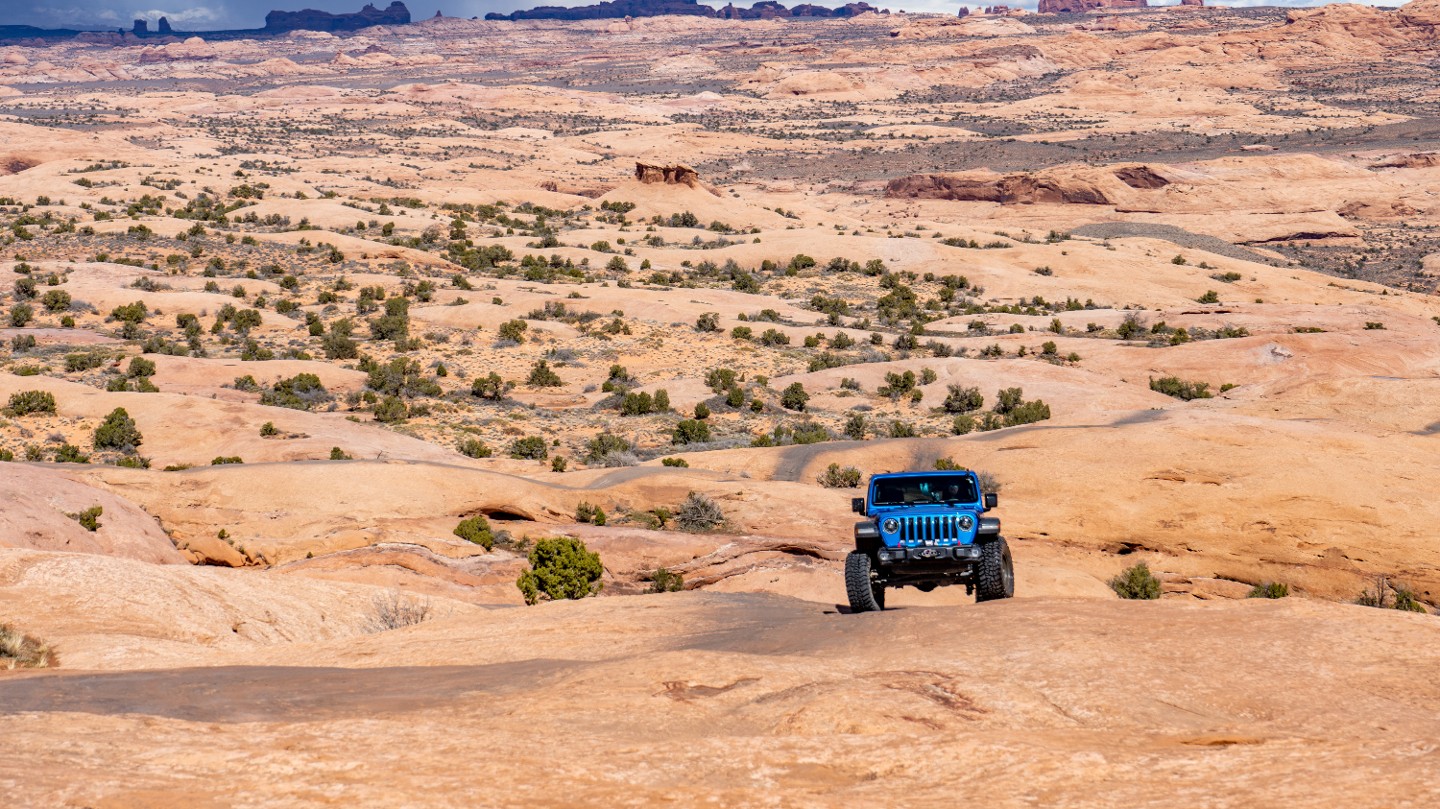
Welcome to Hell's Revenge, the world's most famous slickrock trail. Slickrock is petrified sand. The slickrock moniker dates back to when horse-drawn wagons would try to cross the seemingly easily traversed undulating sandstone. Metal horseshoes and steel-rimmed wagon wheels found no grip on the sandstone. Thus, it was called slickrock. Modern tires love the course sandstone. Moab's Hell's Revenge is considered a must-do for many wheelers. It's also in most folks' top 5 Jeep Badge of Honor Trails. When picturing Moab, the slickrock rollercoaster, fins, steep climbs, insane traction, and the two rubber tracks cresting over the hills off into the distance of Hell's Revenge is what comes to mind. If eavesdropping on conversations at any Moab watering hole, you'll hear names like Hell's Gate, The Hot Tubs, Car Wash, Micky's Hot Tub, The Escalator, and Tip Over Challenge mentioned reverently and constantly at the heart of any good Moab story. They are all on Hell's Revenge.
Trail Difficulty and Assessment
Recommended Vehicle:
Stock SUV with High Clearance and 4 Low
Concerns:
Summary:
Mandatory 4-rated obstacles are throughout the entire trail, with the most challenging being from Waypoints 39-41. The optional 9 rating comes from Waypoints 28 and 34.
Community Consensus
(Last reset on 04/11/2022)
0 votes
7 votes
3 votes
Easier
Spot On
Harder
The weighted average of your fellow members agreement of our trail rating. As trail conditions change this helps us keep the community aware of changes.
Mandatory
4 -
MODERATE
The hardest part of the trail that you
cannot bypass - you have to drive it.
Optional
9 -
EXTREME
The hardest part of the trail that is
purely optional - you can bypass it.
Typically, more rock or undulated road surface. Potential rocks and/or tree stumps less than 18" tall and/or vertical ledges less than 18" tall and/or near vertical ledges or waterfalls less than 36" inches. Tire placement becomes more difficult. Can be steep and off-camber. Read More about our Rating System
Start your next adventure on Hell's Revenge

Upgrade your Membership
Unlock all of the details on every Trail Guide and Scout Route.
Start a 7-day Free TrialUploading to Gaia GPS
Share Trail
Trail Navigation
Hell's Revenge can be run as an out-and-back or a half-loop exiting west of the entrance. The classic slickrock trail gives incredible traction, and all major obstacles can be bypassed. The trail begins with fins and ledges before encountering the more challenging and optional obstacles like Hell's Gate, the Escalator, the Hot Tubs, Tip-Over Challenge, and the Steps. Given that the hardest obstacles are optional, the trail is suitable for beginners in stock high clearance vehicles with a 4-low transfer case. Airing your tires down will enhance the drive by making it cushier and adding traction.
Hell's Revenge is well-marked with paint and signage. As you drive, you will come across four paint markings that you should be aware of:
- The double V or diamond shapes indicate vehicle travel.
- Circles indicate vehicle travel.
- Solid yellow paint suggests keeping your vehicle within those solid lines.
- Dashed white lines indicate bicycle trails.
As you complete the entirety of the trail, there are two options to exit. The first is the traditional exit at Waypoint 37, which is long and rough. The second is at Waypoint 3, now the more common exit.
Fees and Area Information
Hell's Revenge is located within the Sand Flats Recreations Area and managed through a partnership between Grand County and the BLM. All 4X4s, ATVs, motorcycles, and bikes must remain on designated roads and trails. There are no open play areas within Sand Flats. Penalties for violations of trail use can include, among other things, forfeiture of vehicles. Please Stay on the trail! Remember, indiscriminate vehicle tracks represent the theft of beauty that you came here to see.
Sand Flats offers a few different types of use passes.
Enter in a private vehicle, and you can purchase a 1-day pass for $5.00 or a 7-day pass for $10.00. Sand Flats also charges a vehicle trailer fee of $5.00. An annual pass for $25.00 is available. The pass admits the cardholder and passengers in a single, private vehicle for day use through the last day of the month and year indicated on the pass.
1. Trailhead (0 mi)
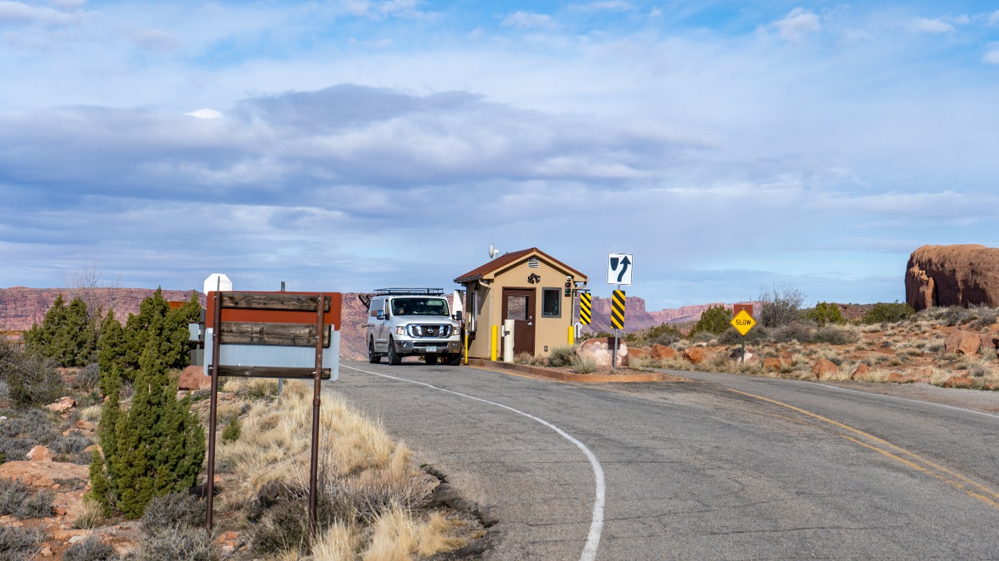
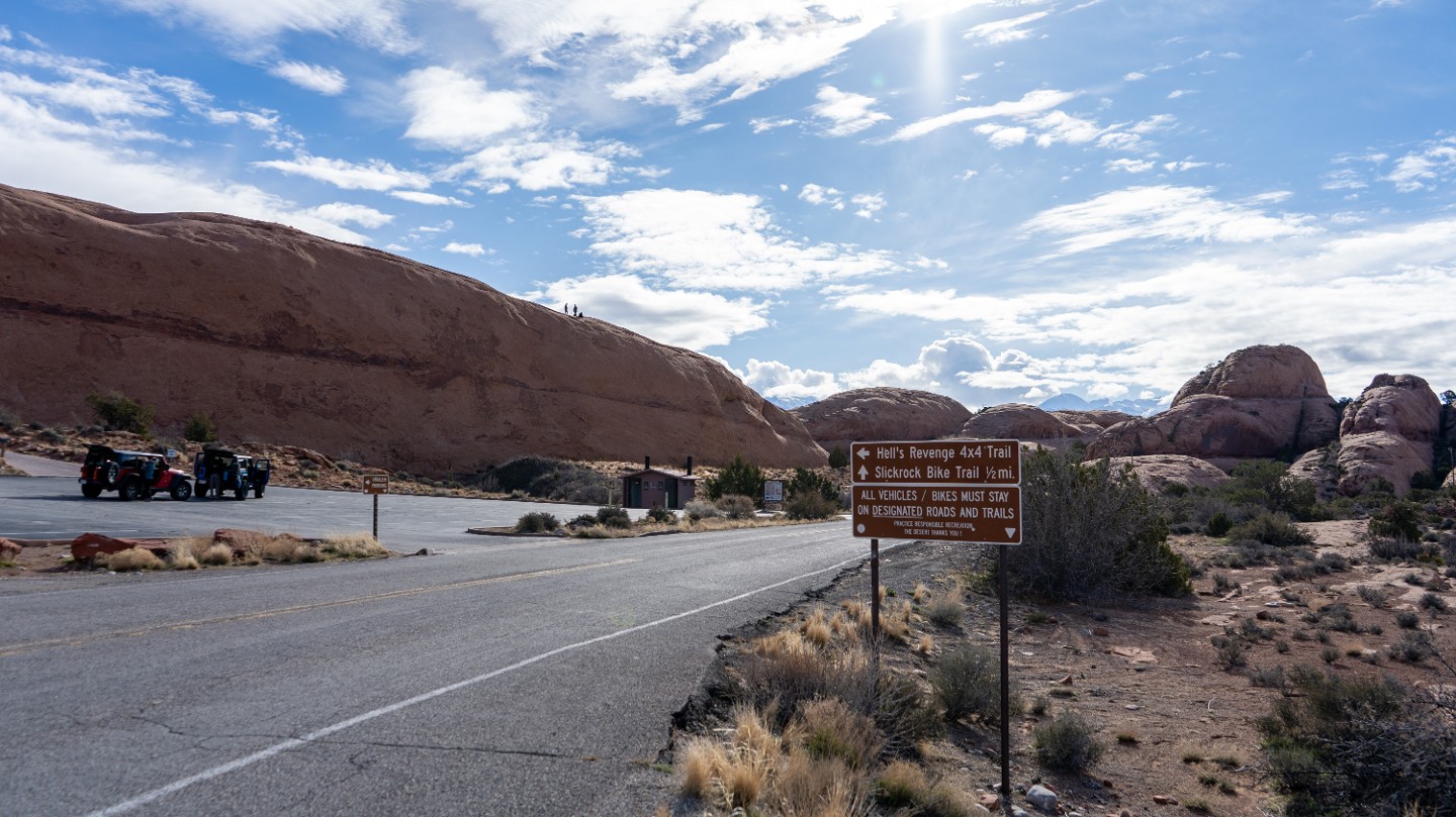
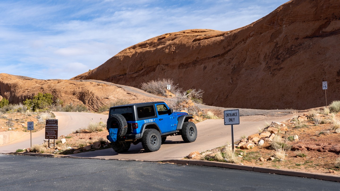
The trail starts at a large parking area just past the entrance station to Sand Flats Recreation Area. There is plenty of space to park and air down. There is also a restroom.
2. Slickrock Fin (0.1 mi)
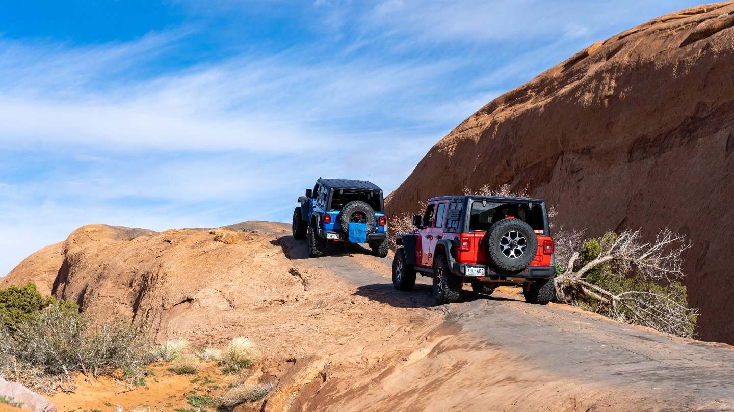
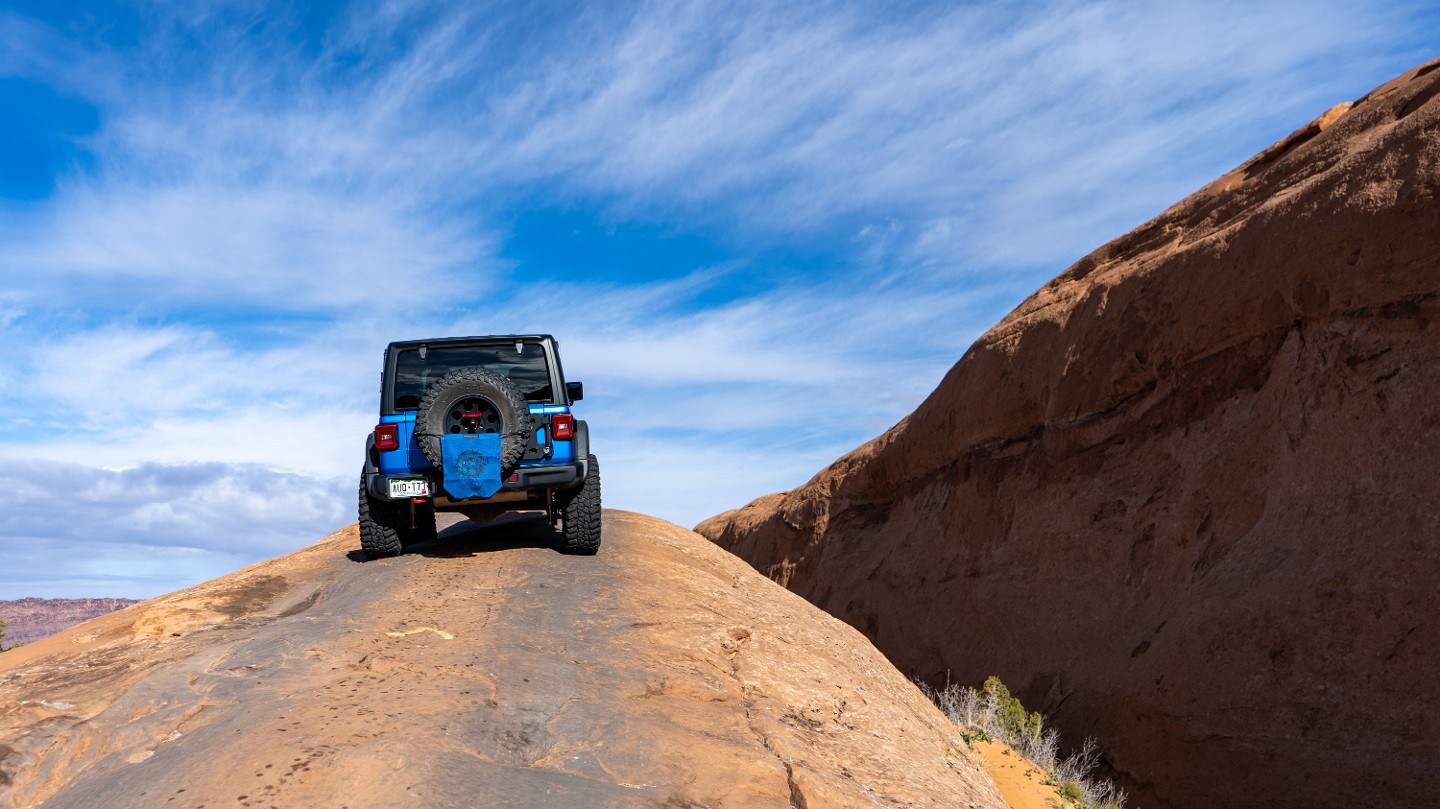
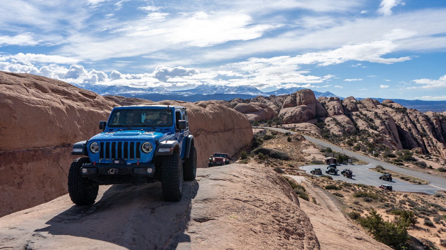
The trail immediately traverses a narrow, steep, slickrock fin. This is a one-way-only fin and an example of the typical terrain along the Hell's Revenge Trail.
3. Alternate Trail Exit (0.14 mi)
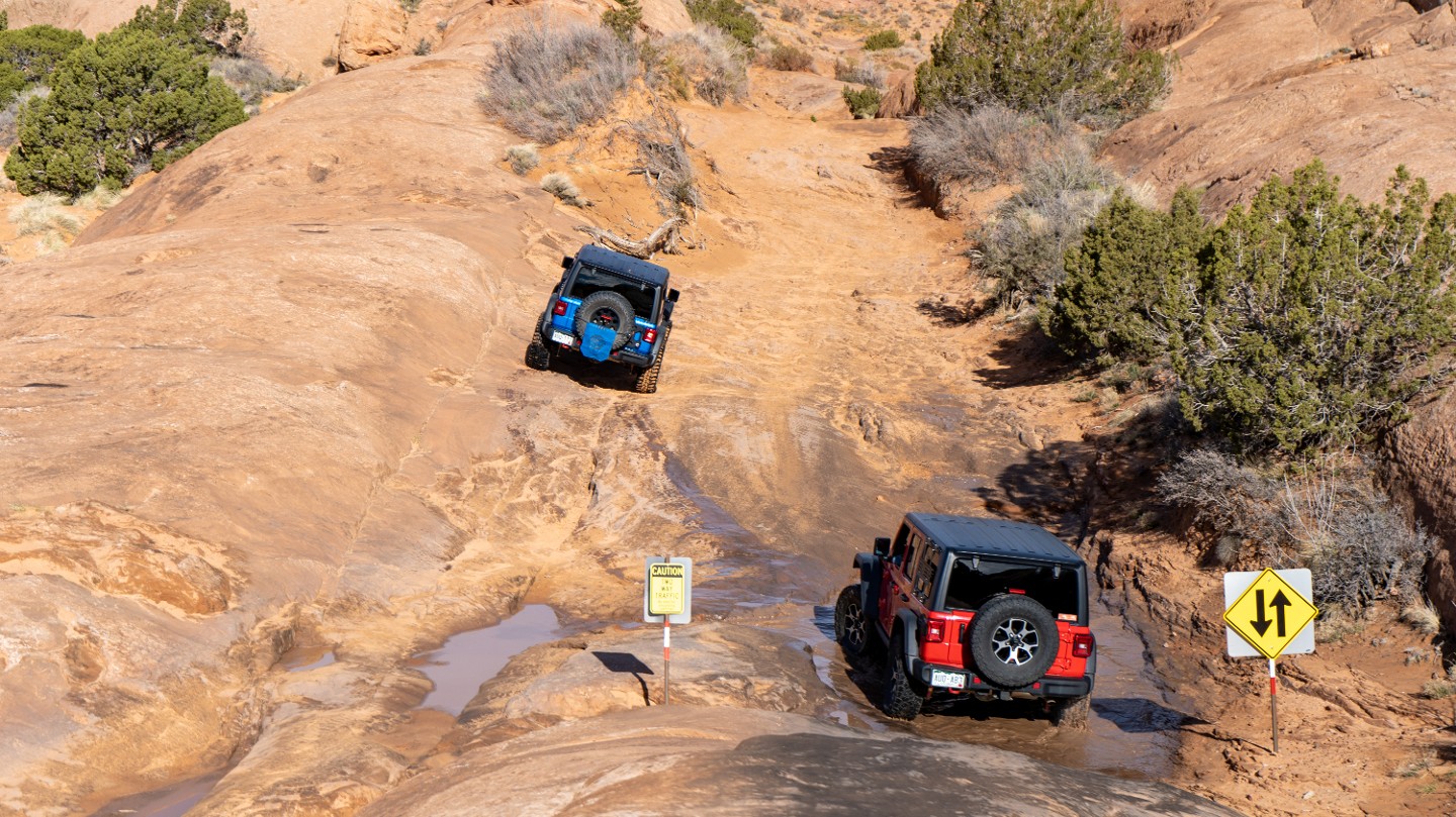
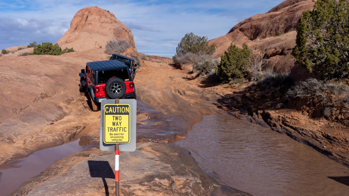
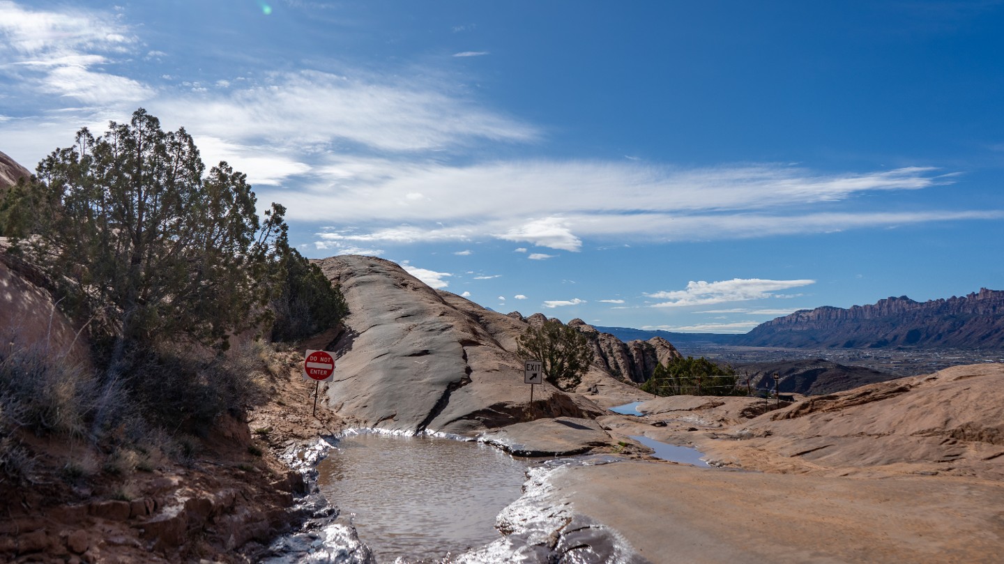
After dropping off the slickrock fin, the trail passes a one-way exit. Two-way trail traffic begins. The alternate exit returns to the parking lot.
4. Rock Depression (0.2 mi)
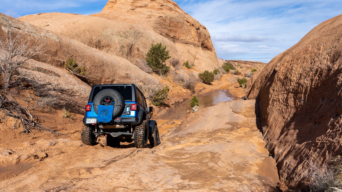
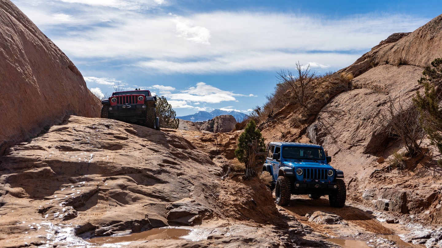
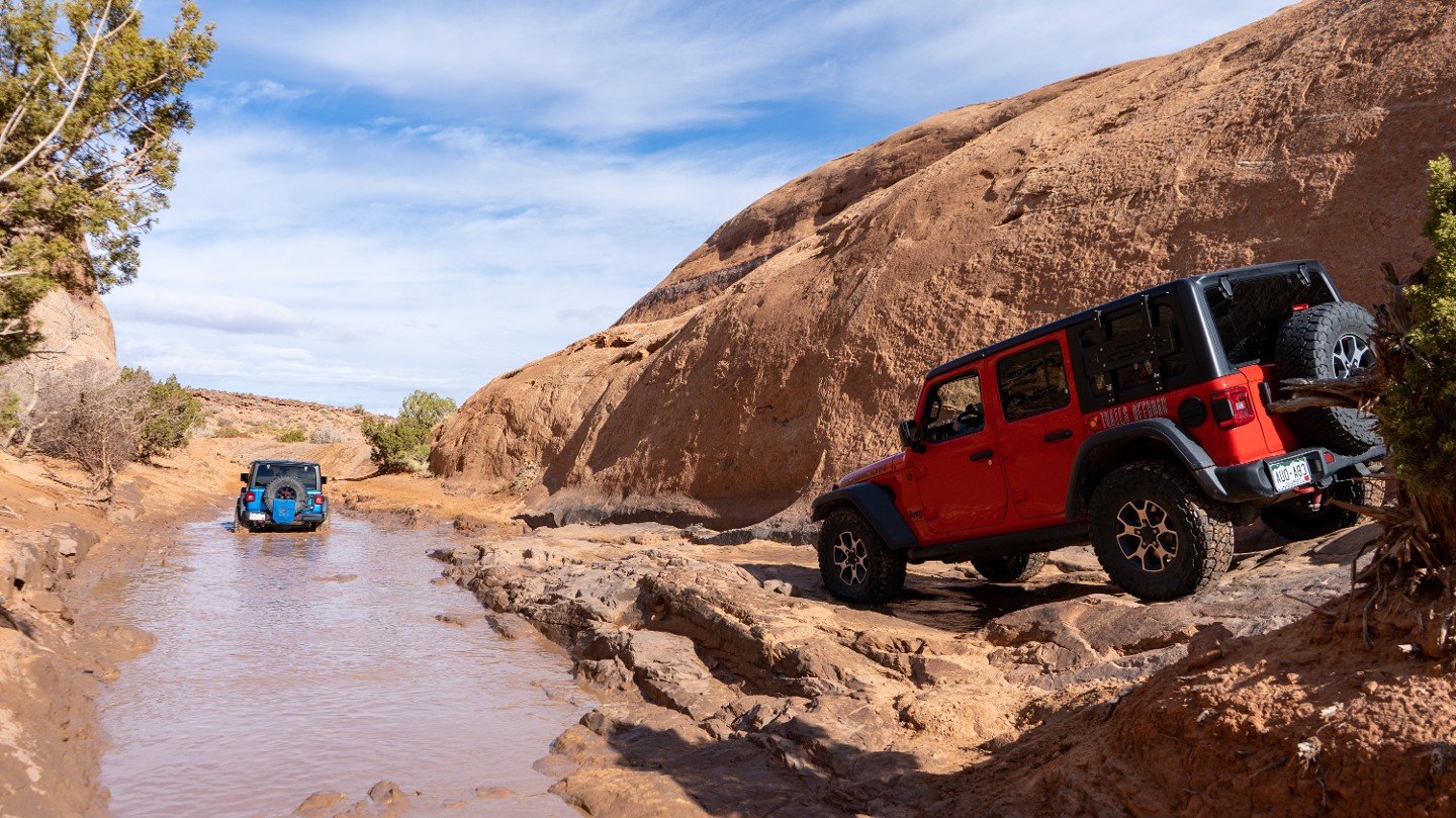
After passing the exit, the trail enters a deep rock depression in the rock that is often filled with water after rainstorms. There are two lines through this section. The lower line is a bit rocky. The upper line is smoother but slightly off-camber.
5. Ledge Obstacle (0.37 mi)
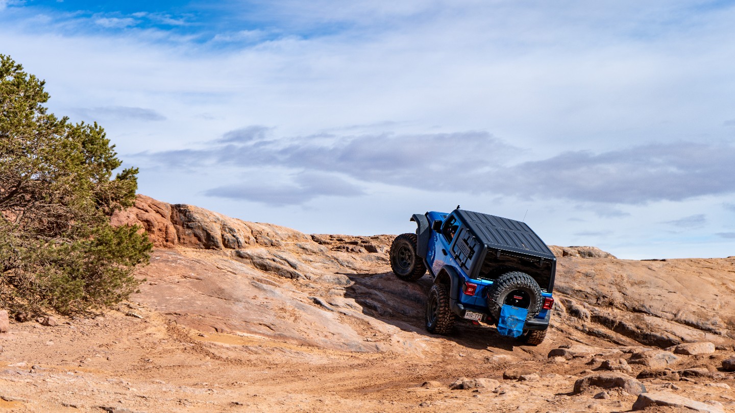
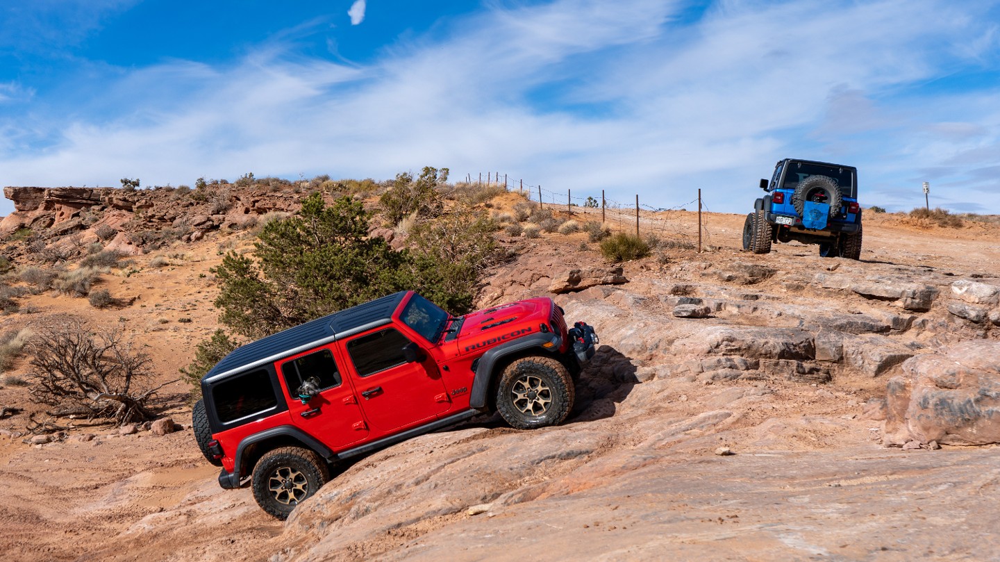
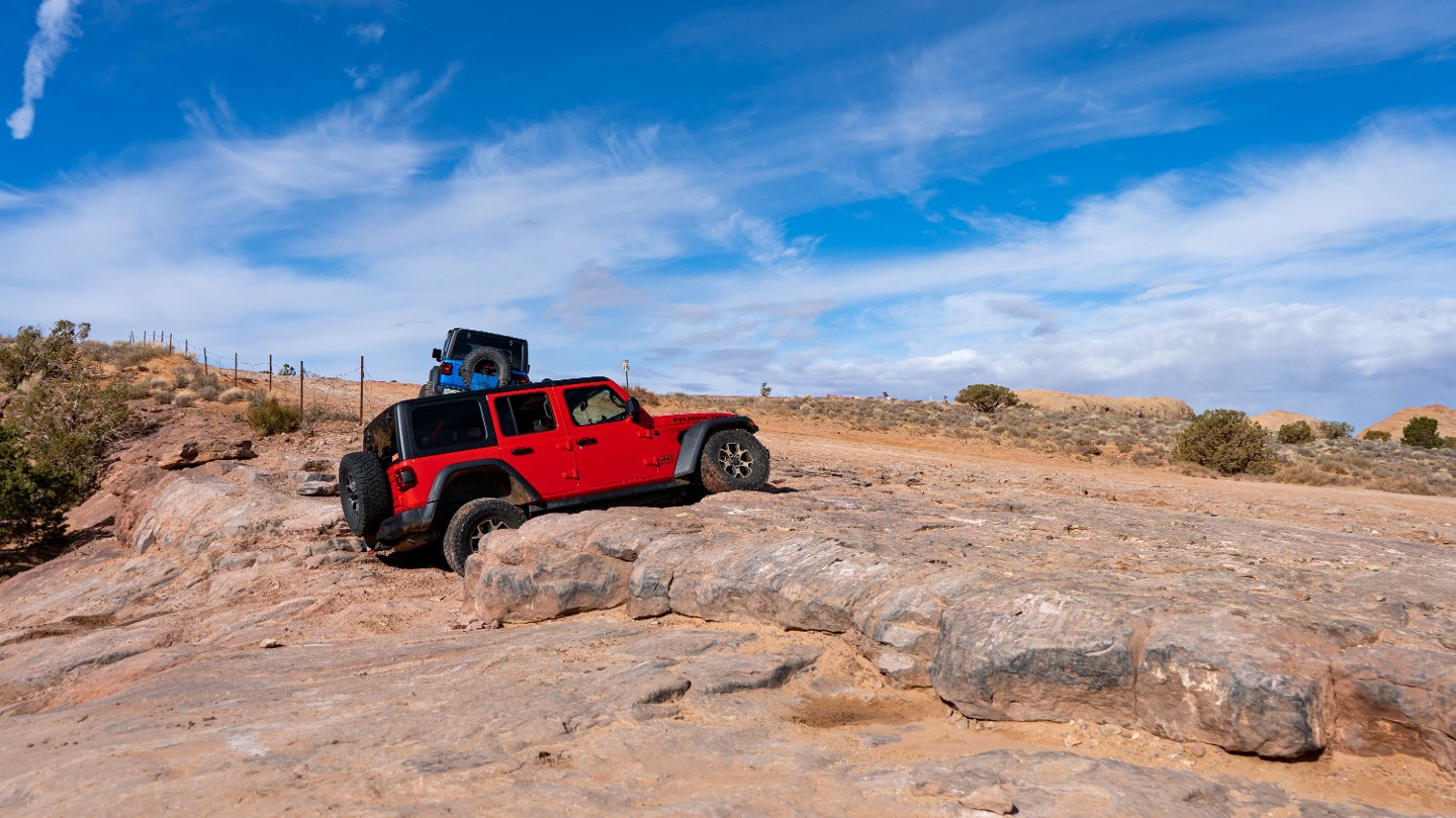
The first of many ledge obstacles along the trail. Many lines across the ledge ranging from 6 inches to several feet.
6. Lions Back Viewpoint and Stolen Dinosaur Tracks (0.48 mi)
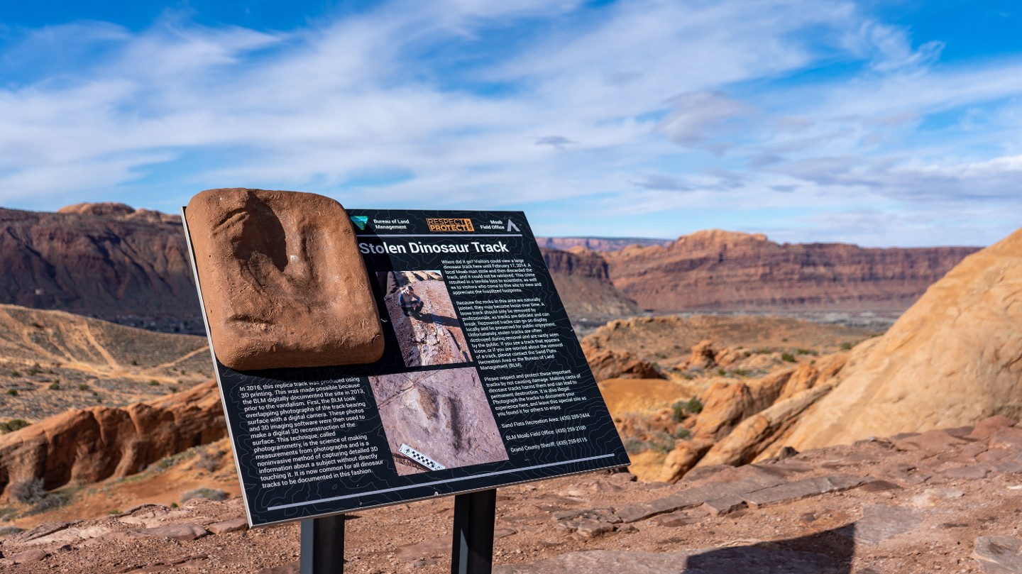
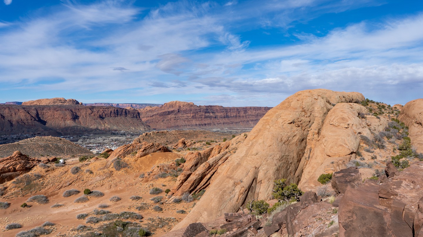
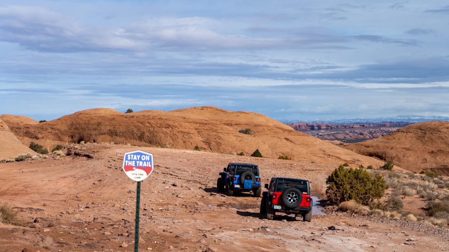
The road flattens out briefly and passes fake dinosaur tracks. An informational sign tells the tale of how a local man stole the original tracks, then somehow lost them. Views of the famous Lion Back are fantastic from this spot. Signs will remind you to stay on the trail.
7. Hell's Alternate Intersection (0.61 mi)
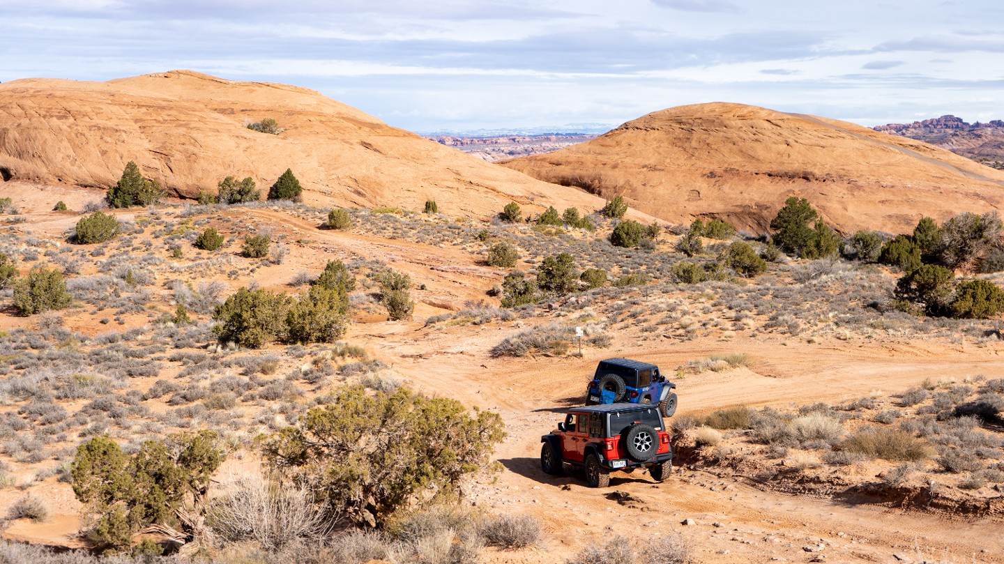
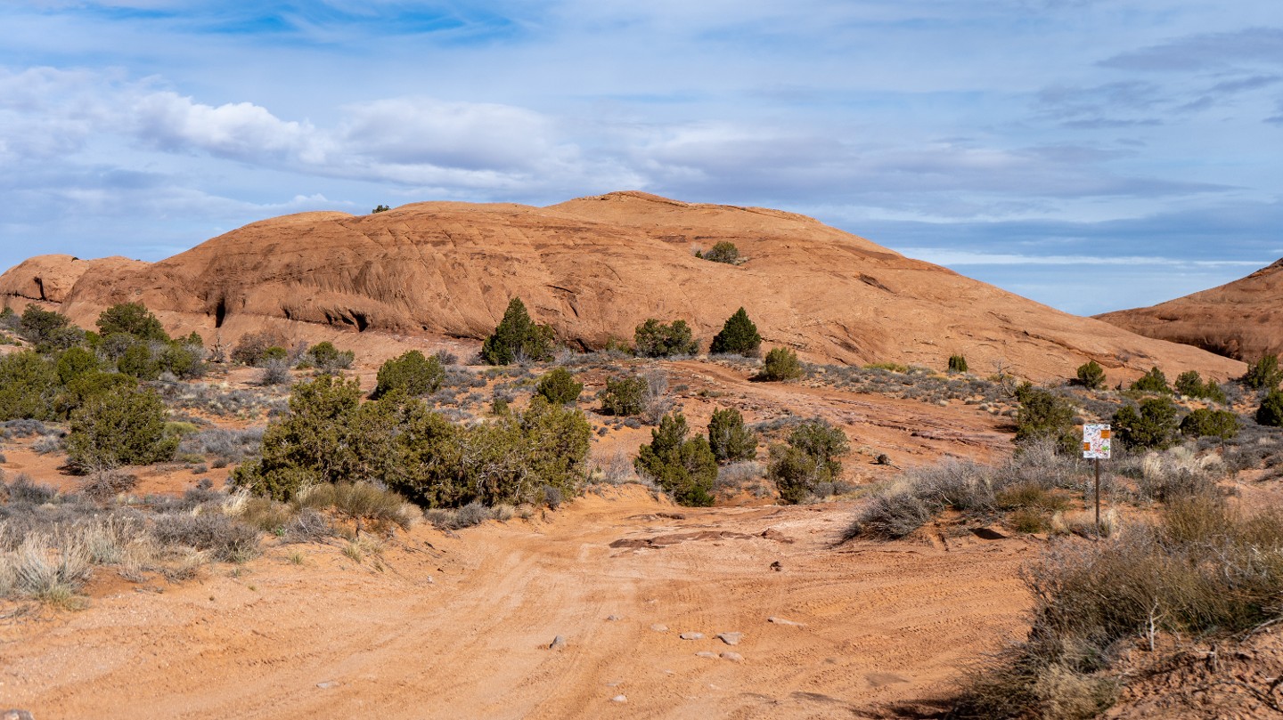
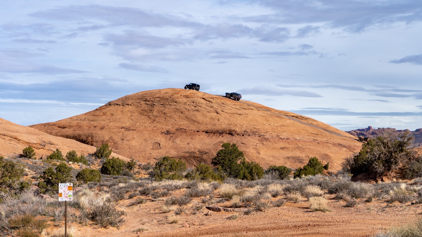
Continue northeast, passing Hell's Alternate. You can see the next two obstacles from this intersection and determine if you would rather take the alternate route.
8. Ramp Obstacle (0.66 mi)
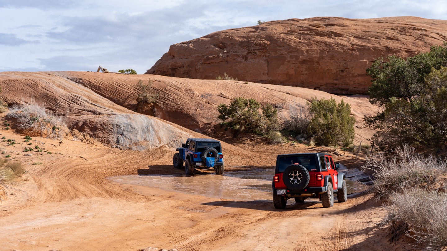
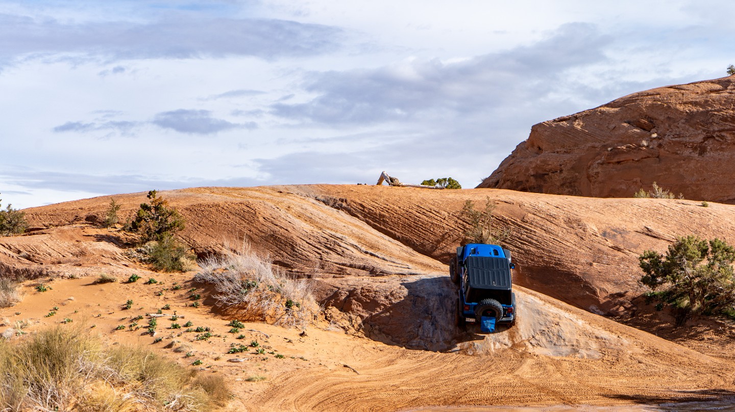
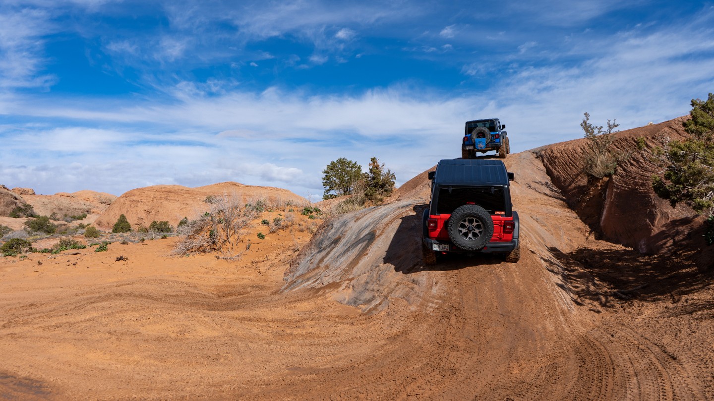
The trail approaches a slickrock fin. You can either attempt the steep, smooth side face or circle around to the right and gradually traverse the fin like a long ramp.
9. Steep Slickrock Dome (0.75 mi)
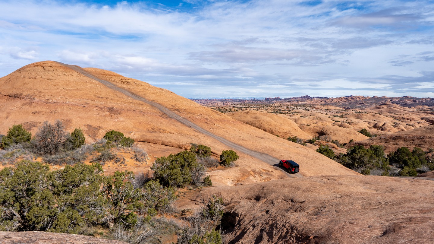
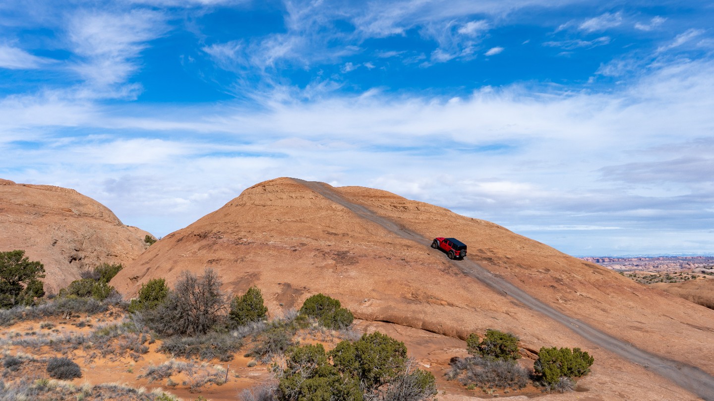
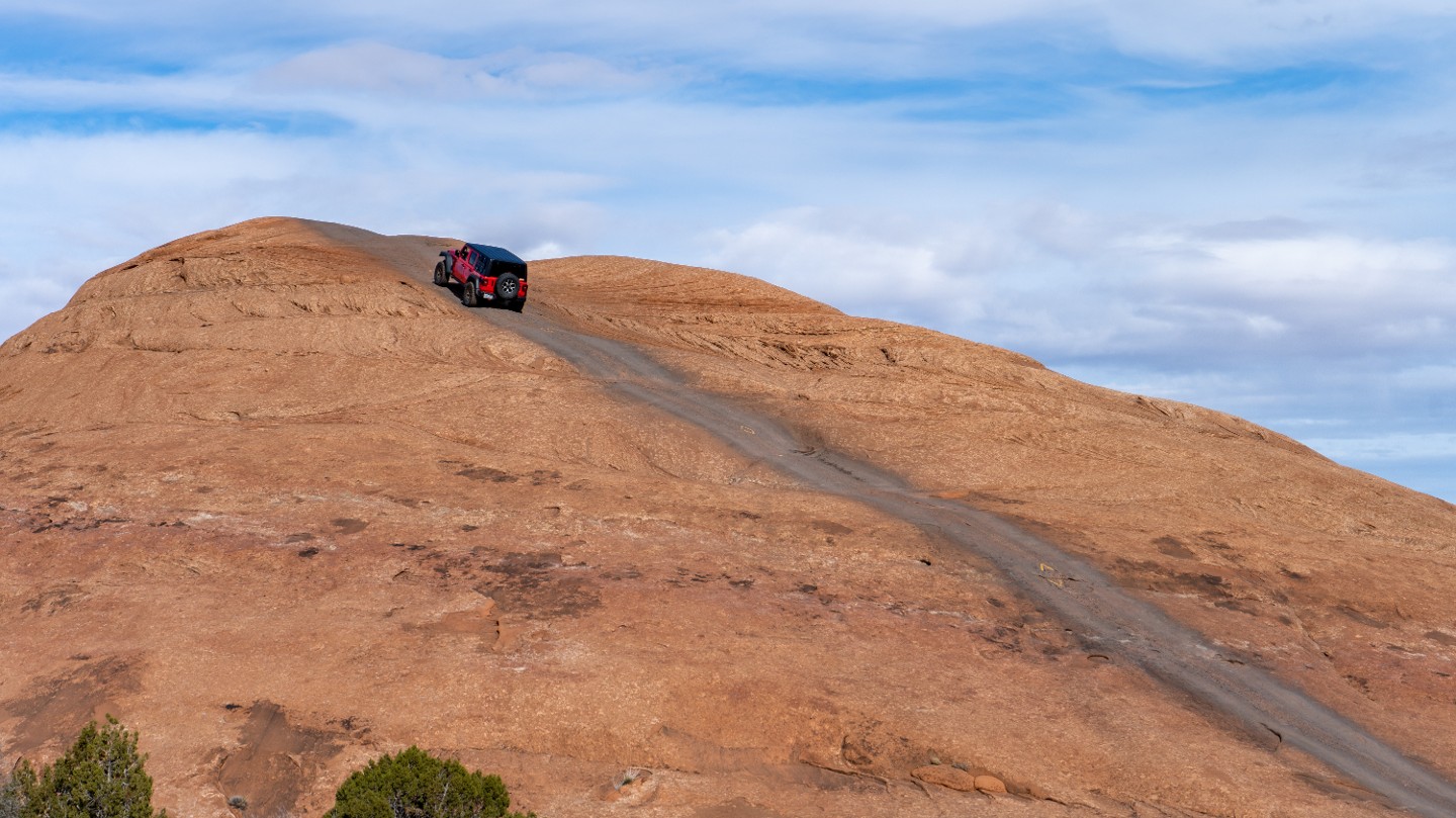
Traverse up a long, steep, slickrock hill following black tire marks. The hill climbs at a 27-degree angle.
10. Steep Drop (0.9 mi)
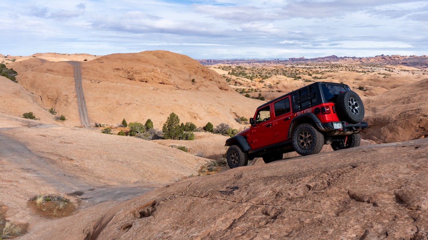
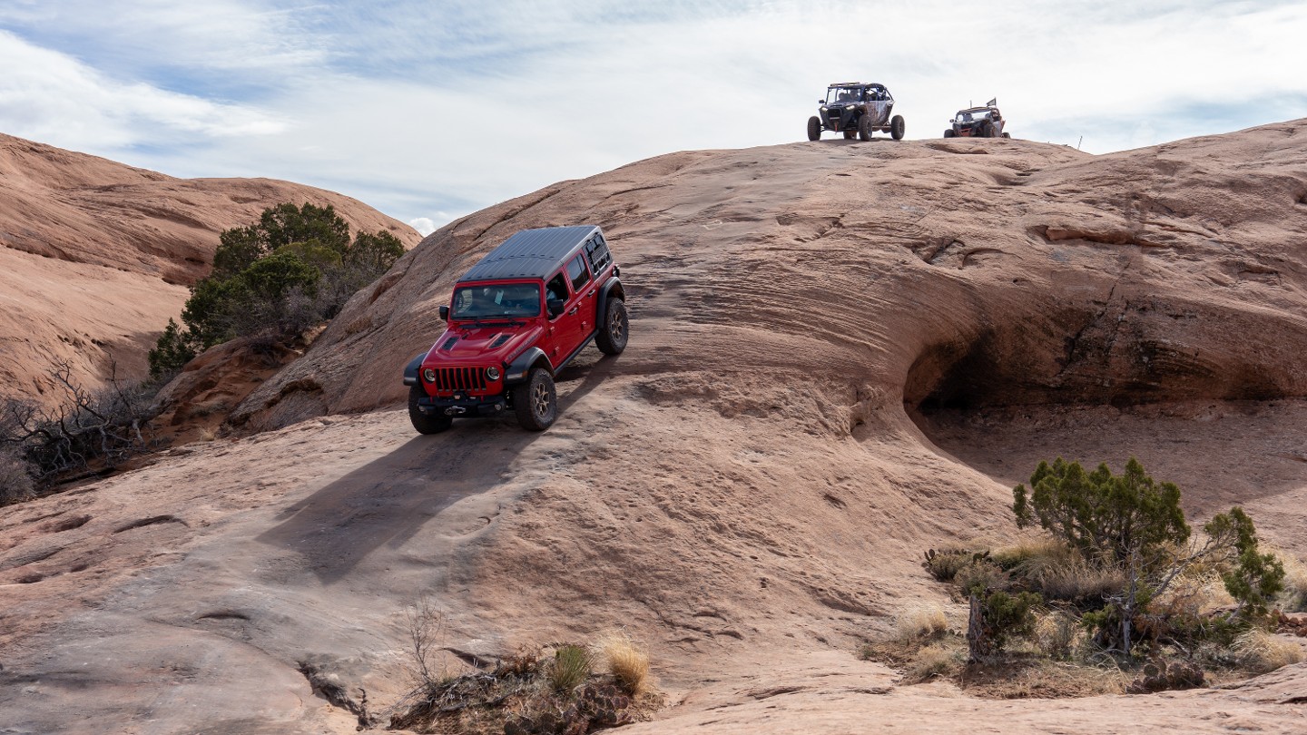
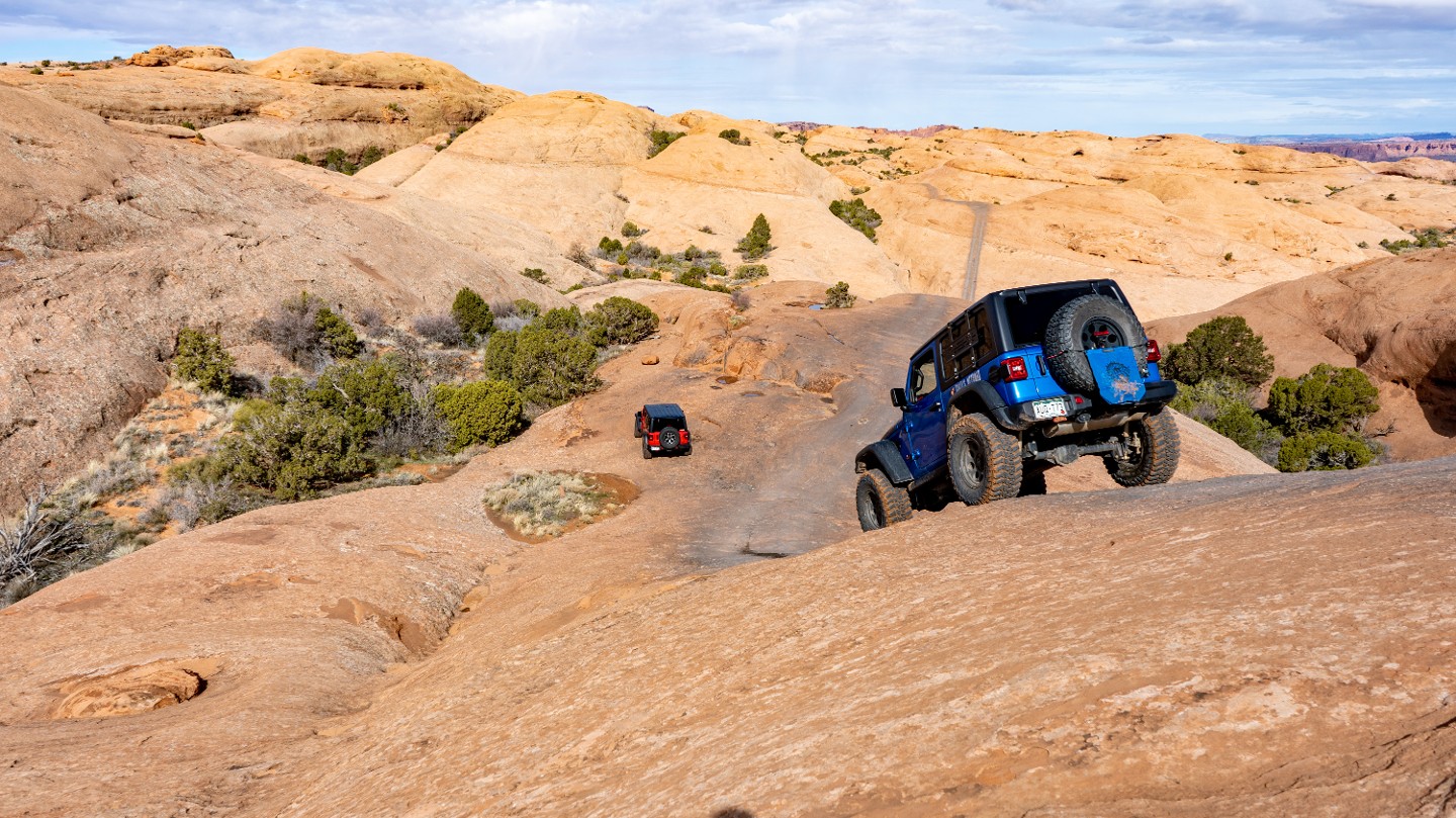
Follow the painted yellow diamonds on the rock and drop down the other side of the slickrock dome at a 31-degree angle.
11. 4-Way Intersection with Hell's Alternate (0.99 mi)
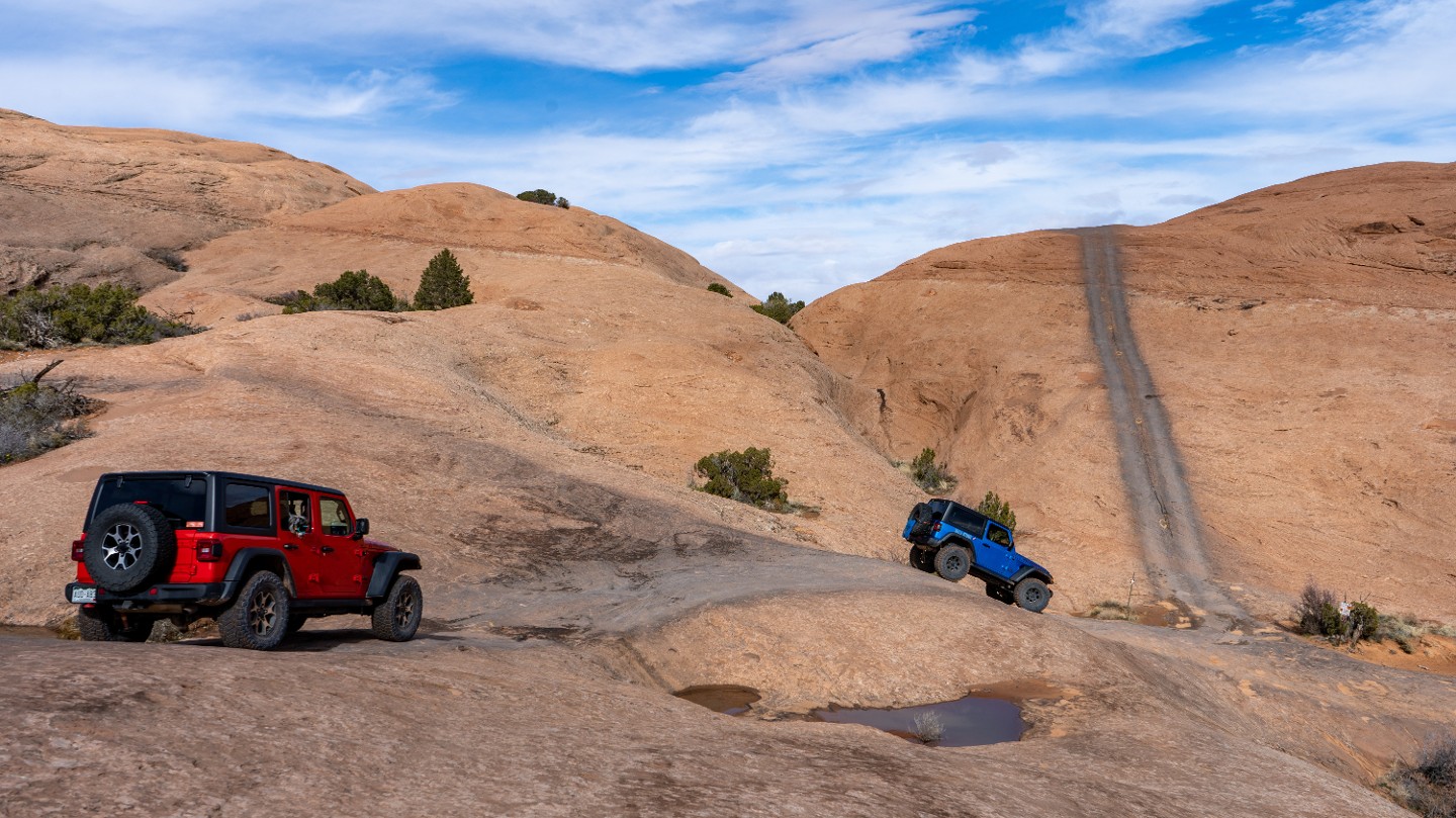
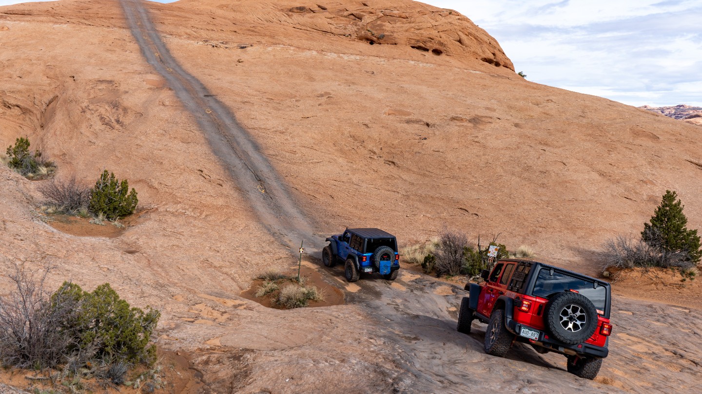
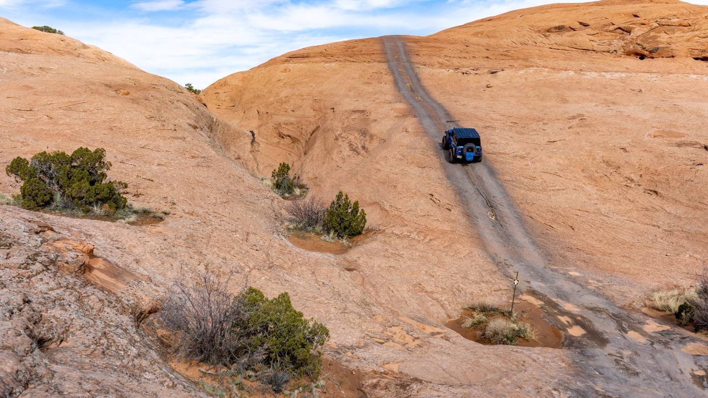
Cross over a 4-way intersection with Hell's Alternate and traverse a long, steep, 31-degree slickrock dome, following yellow diamonds. If this hill seems too daunting, take the alternate route to the northeast and rejoin at Waypoint 15.
12. Top of Slickrock Dome (1.06 mi)
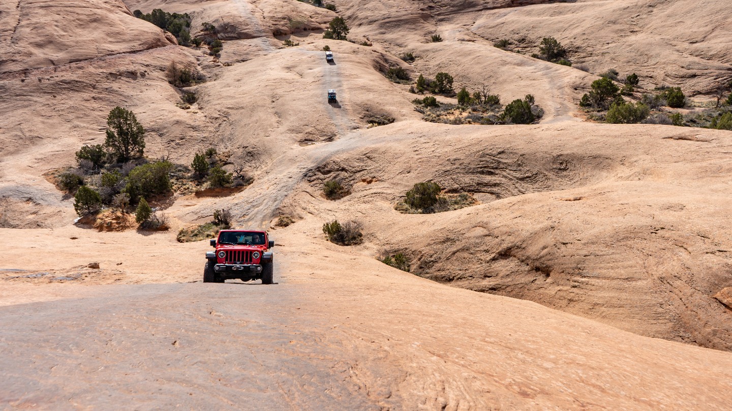
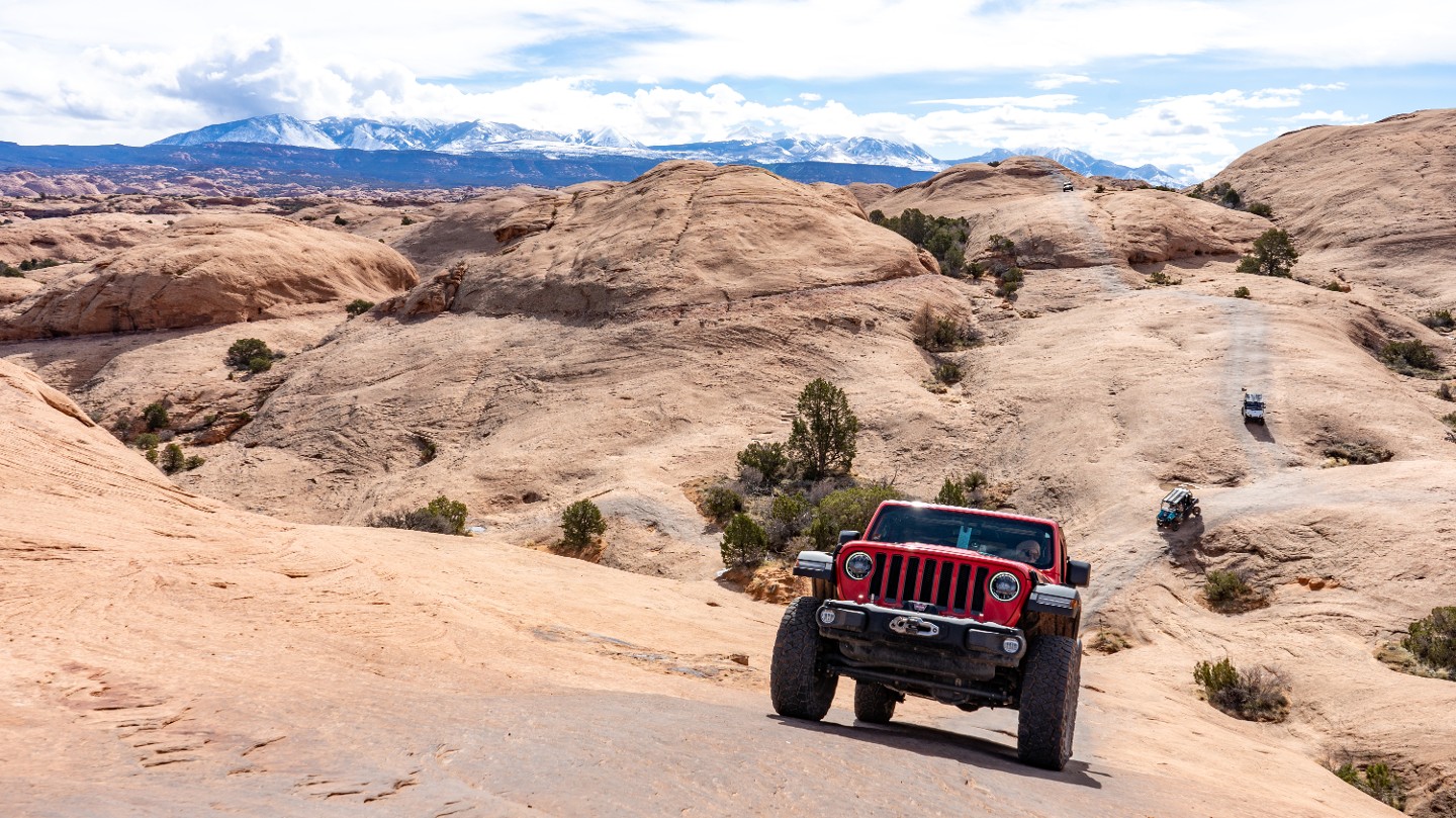
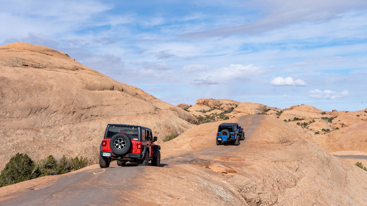
Traverse across the top of the large slickrock dome, following yellow diamonds and painted lines on the rock.
13. Staircase Intersection and Steep Drop (1.13 mi)
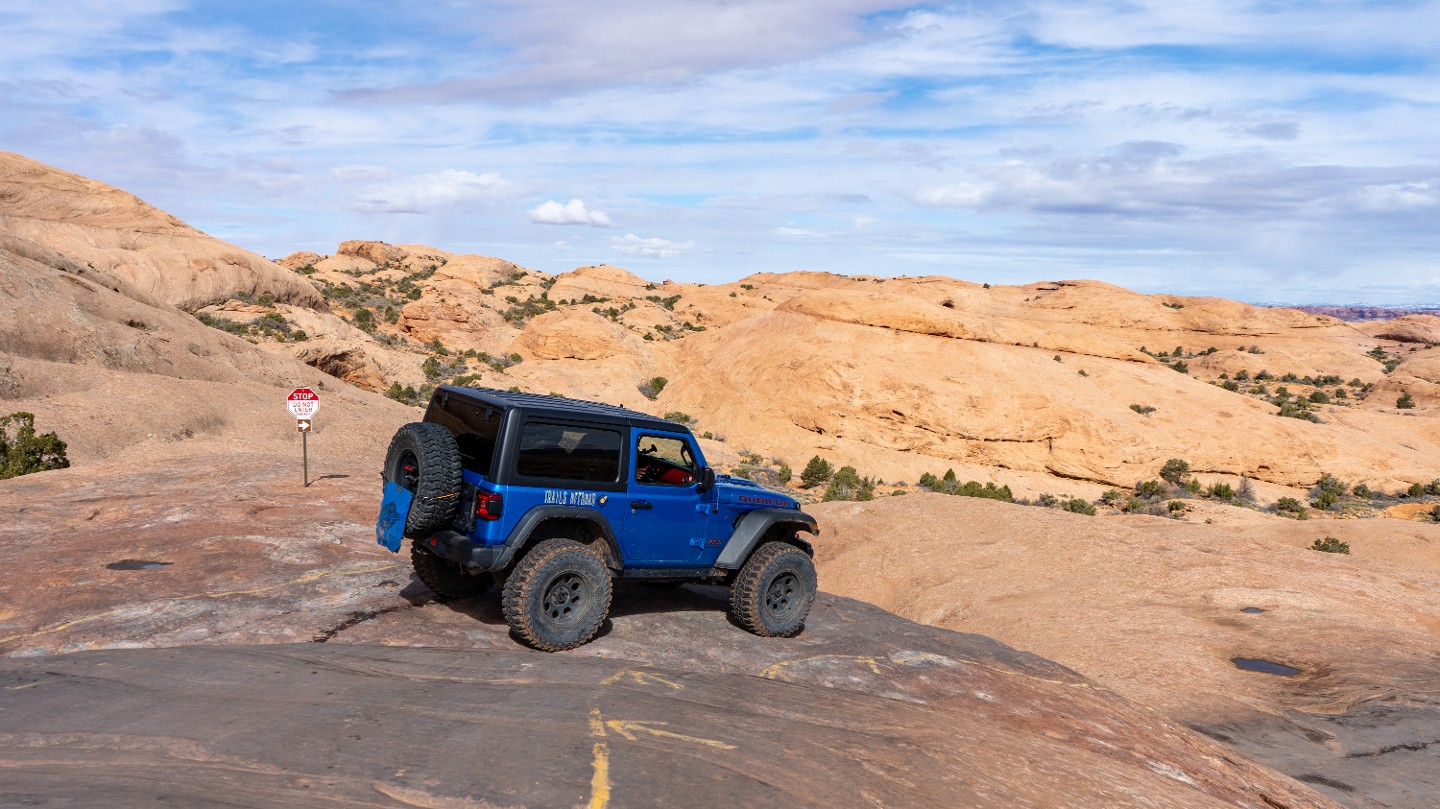
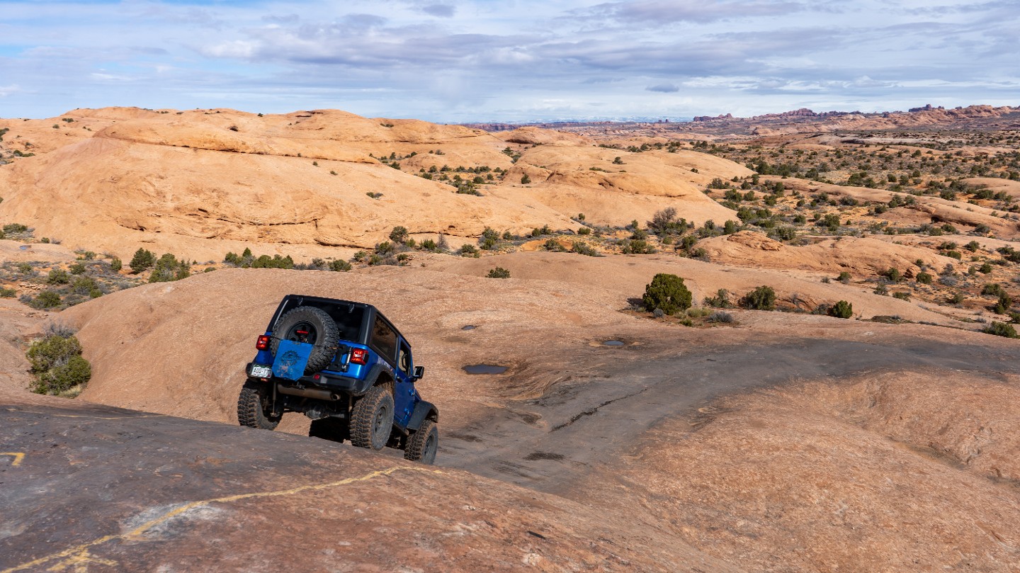
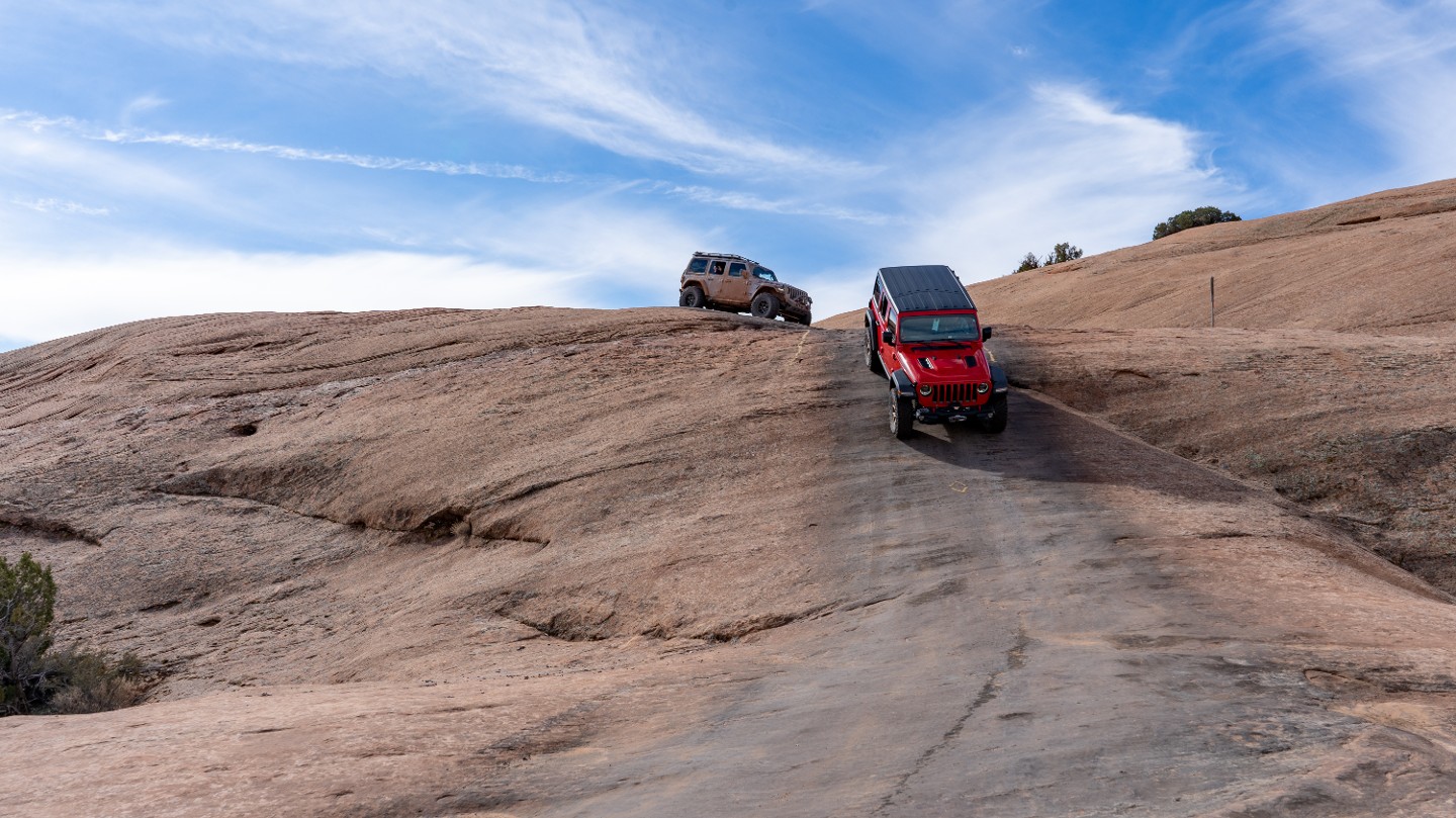
Stay between the yellow-painted lines and make a hard turn as the trail drops abruptly down a 31-degree hill. The stop sign ahead at the top of the hill marks the exit of the Staircase trail, which is a one-way-only trail from west to east.
14. Abyss Canyon Viewpoint (1.22 mi)
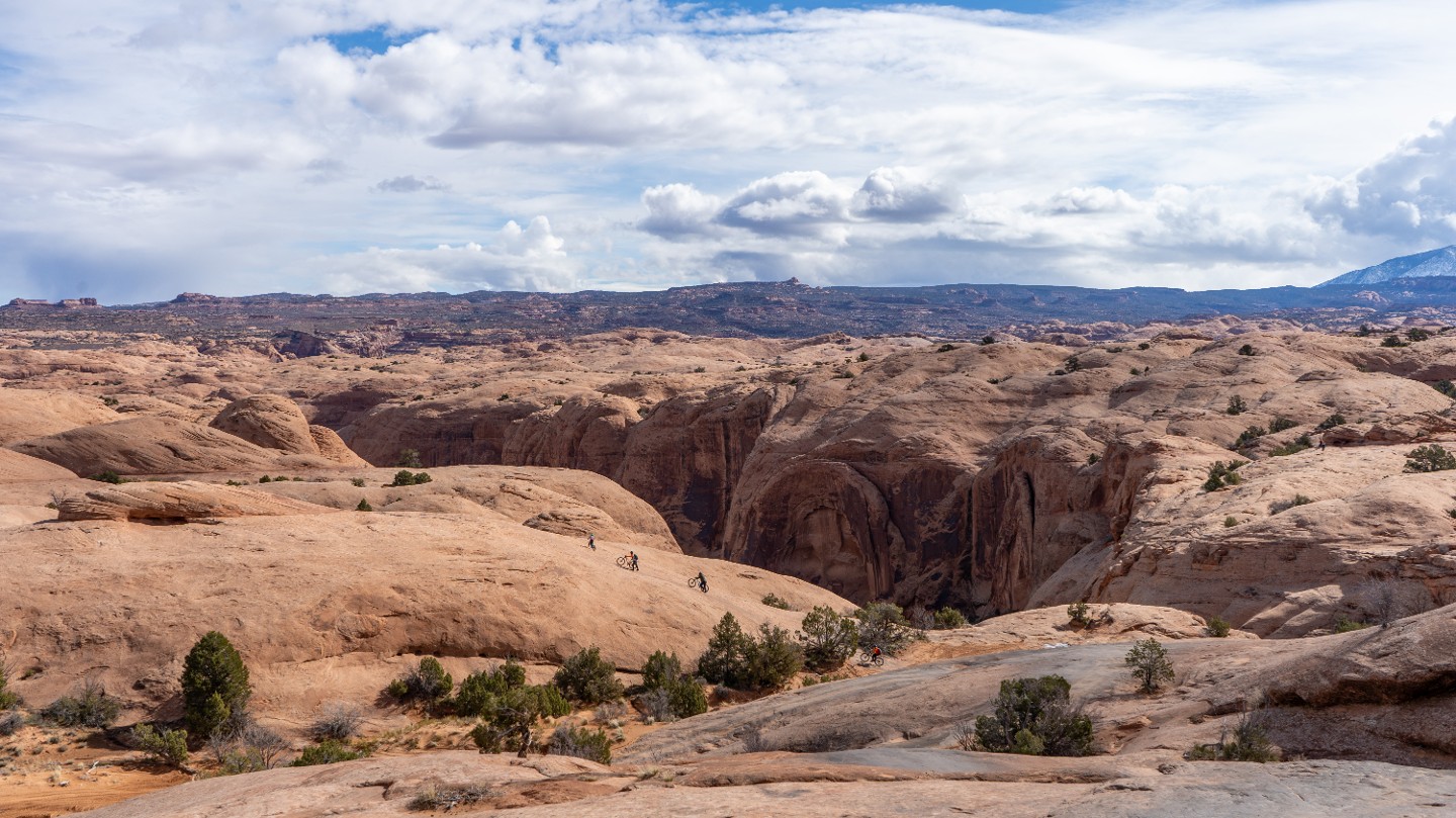
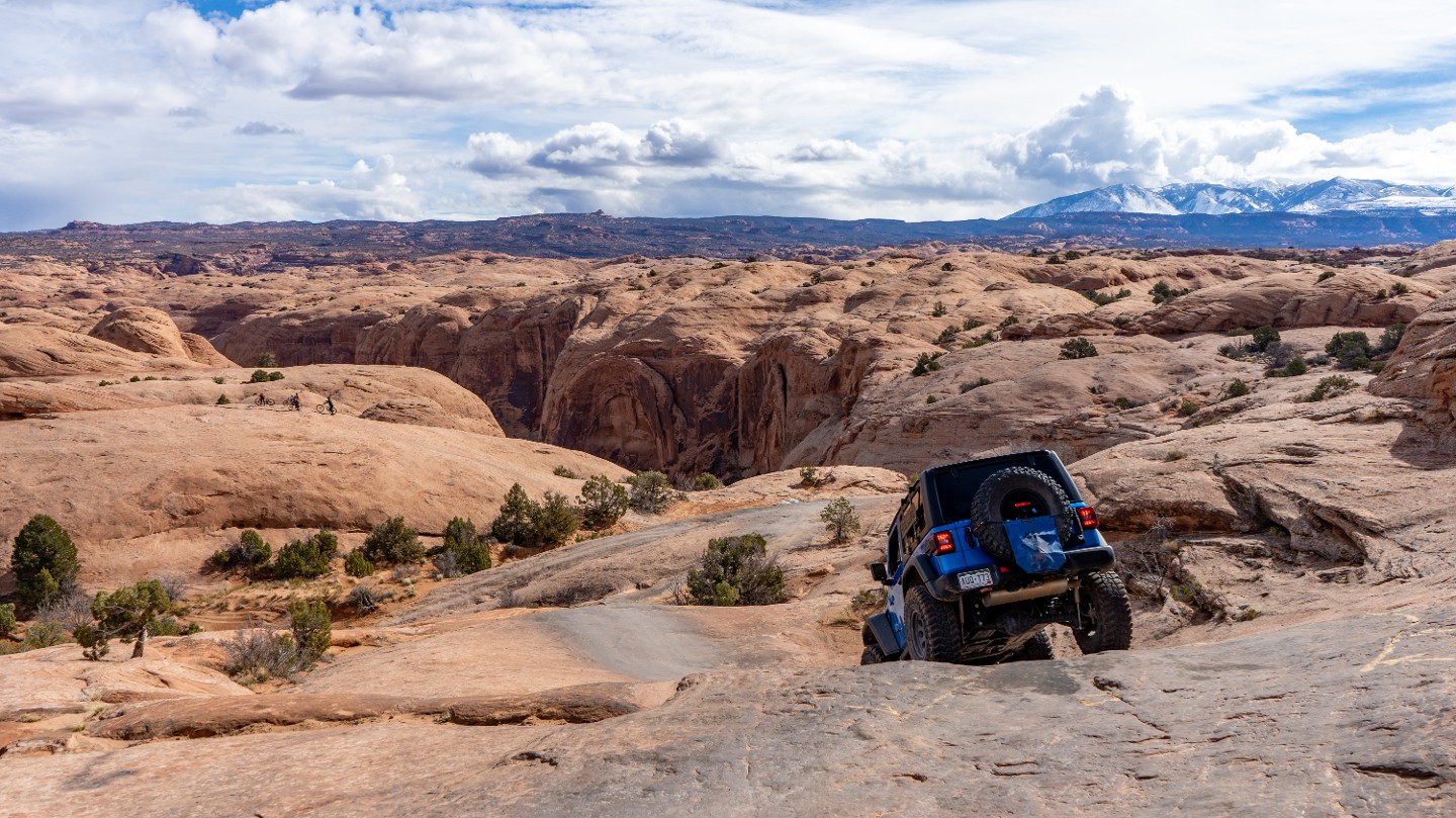
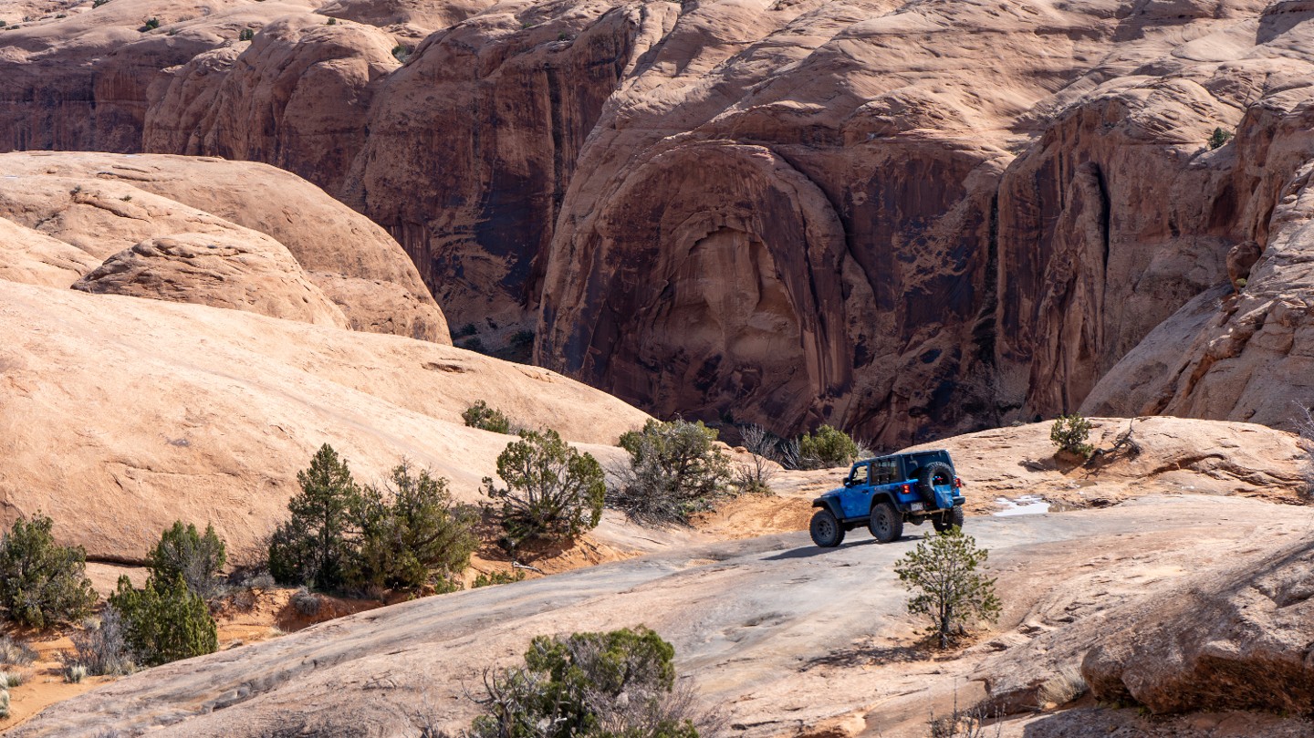
The trail slowly weaves down the slickrock with fantastic views of Abyss Canyon.
15. Hell's Alternate Intersection (1.3 mi)
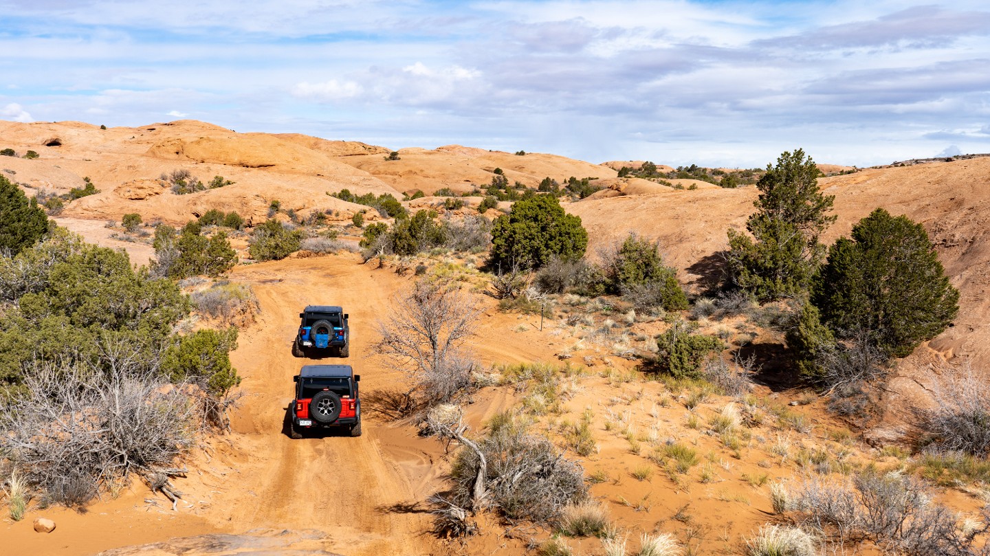
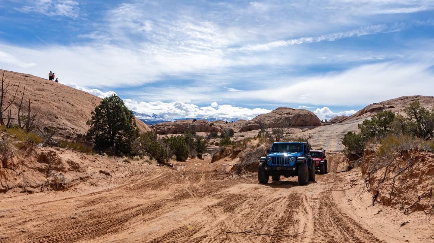
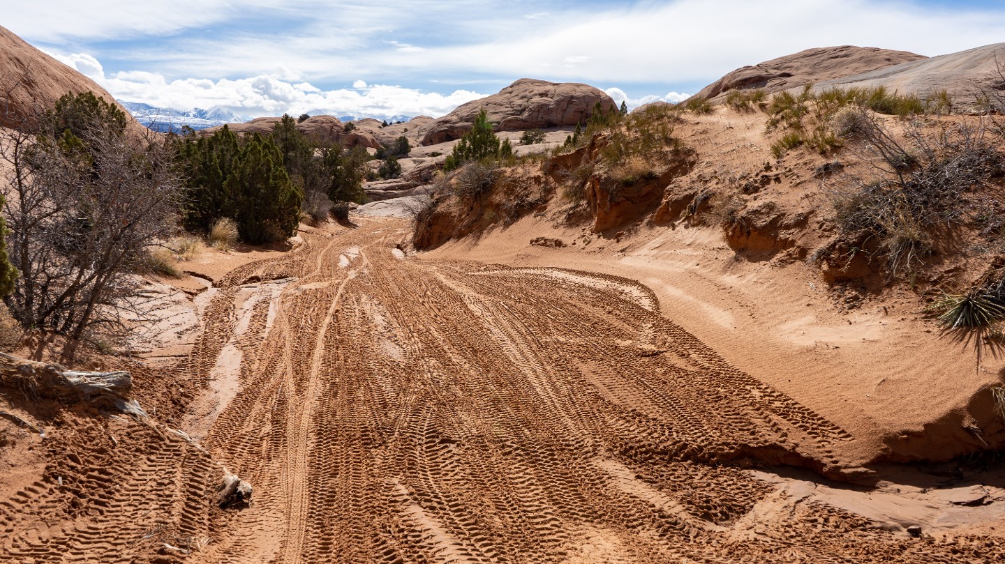
The trail continues past the intersection with Hell's Alternate and begins traversing much more sandy terrain.
16. Staircase Bypass Intersection (1.38 mi)
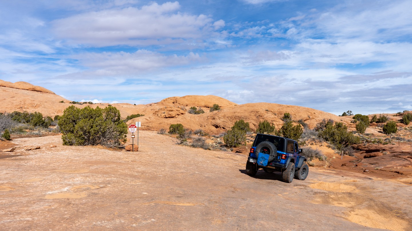
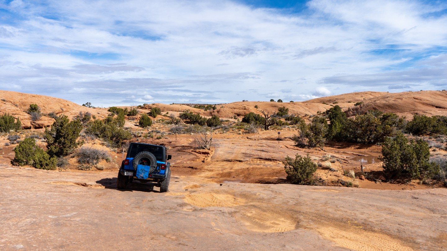
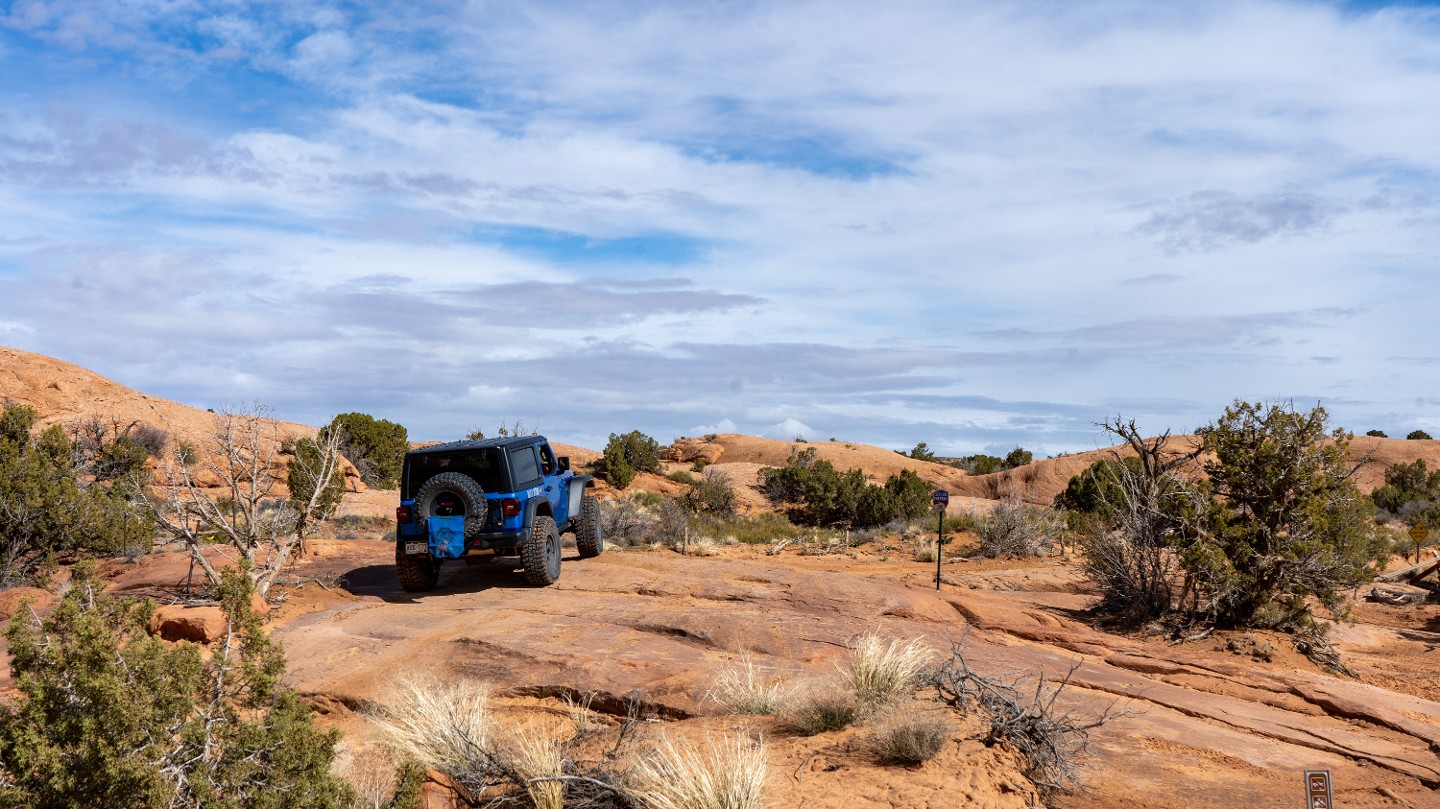
Another stop sign marks the intersection of the bypass for the Staircase obstacle. The Staircase Bypass is a one-way trail from west to east.
17. Hell's Alternate #2 (1.88 mi)
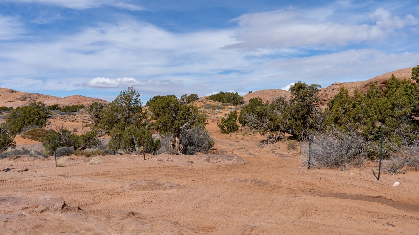
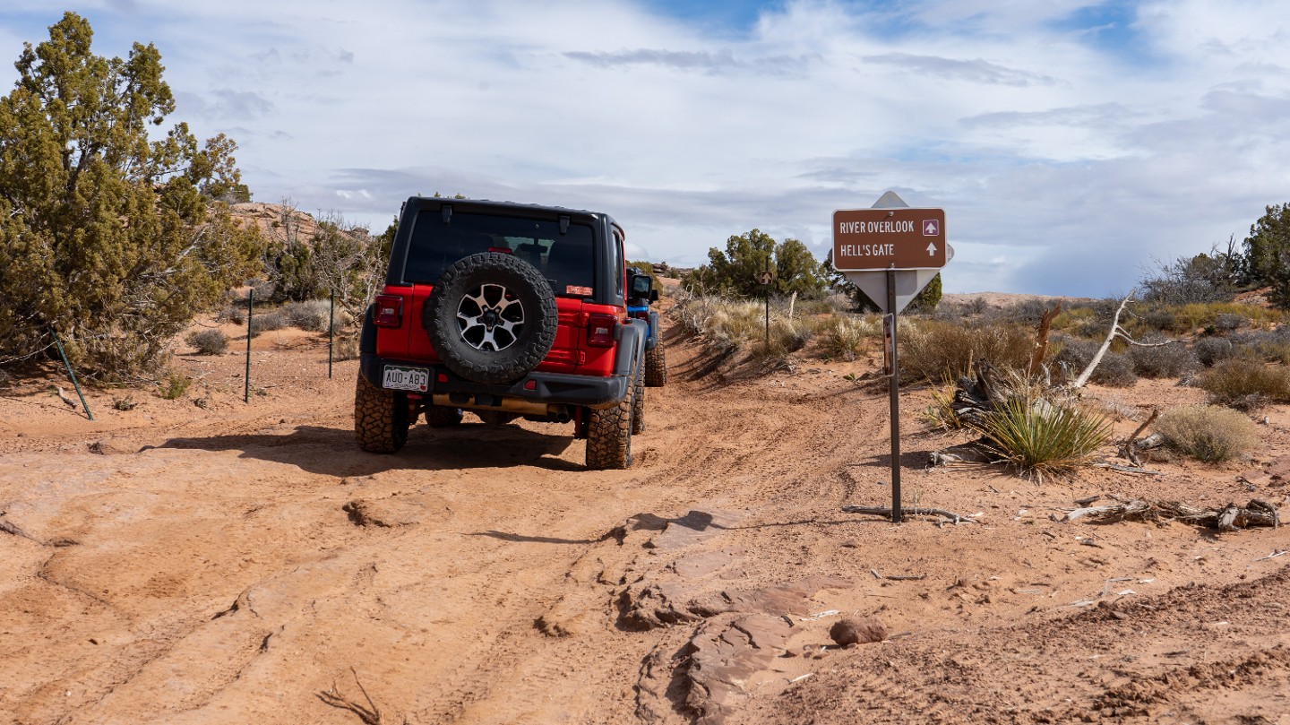
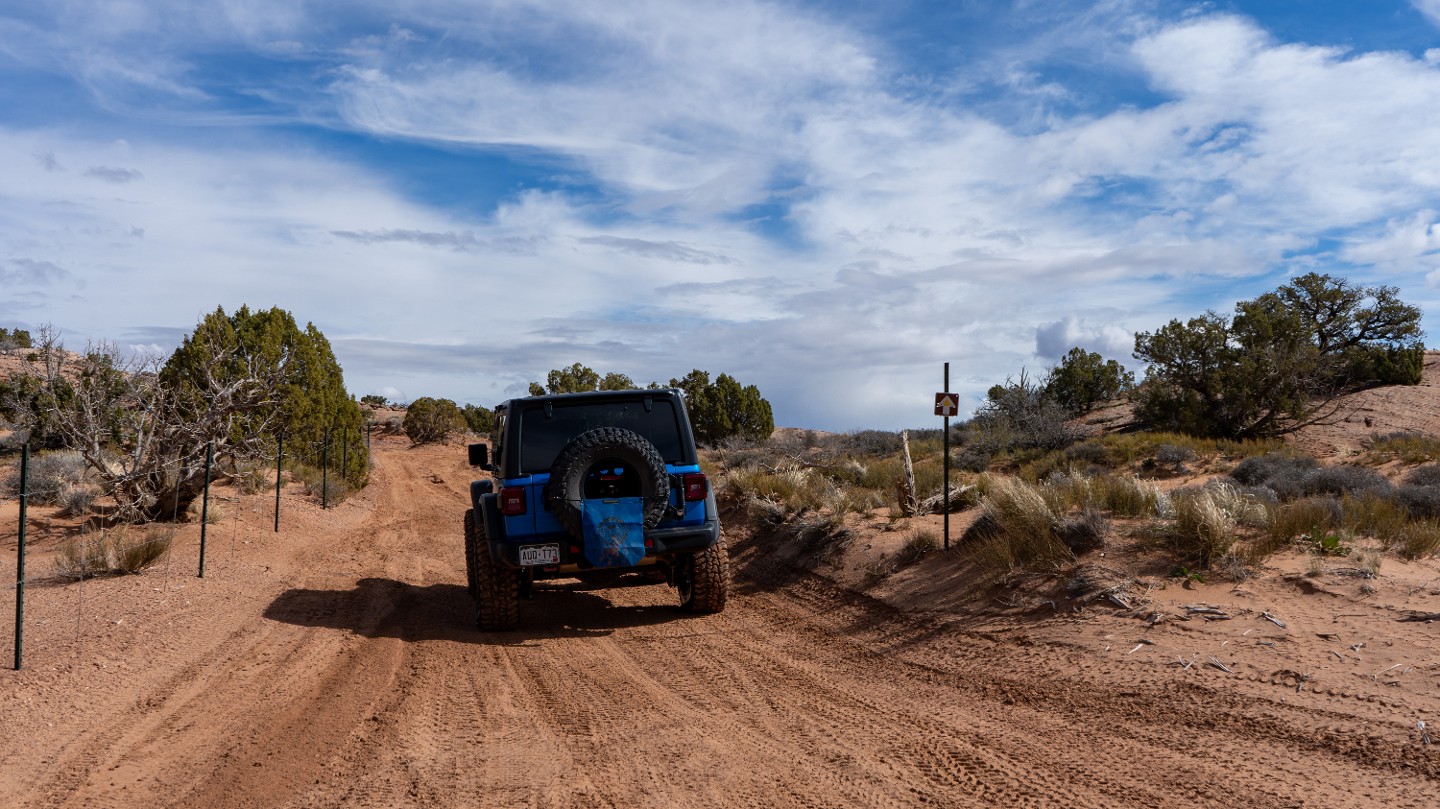
Continue straight passing Hell's Alternate #2, a shortcut that bypasses many obstacles and rejoins the main trail at the bottom of Dragon's Tail.
18. Small Ledge (1.98 mi)
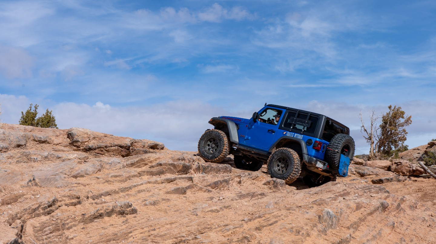
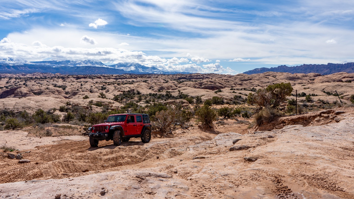
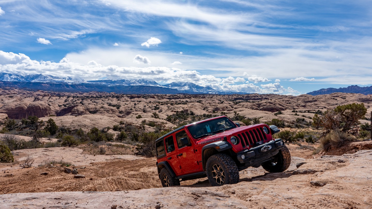
In a tight turn, traverse a small chunky ledge with great views of the La Sal Mountains behind you.
19. Ledge Obstacle With Bypass (2.08 mi)
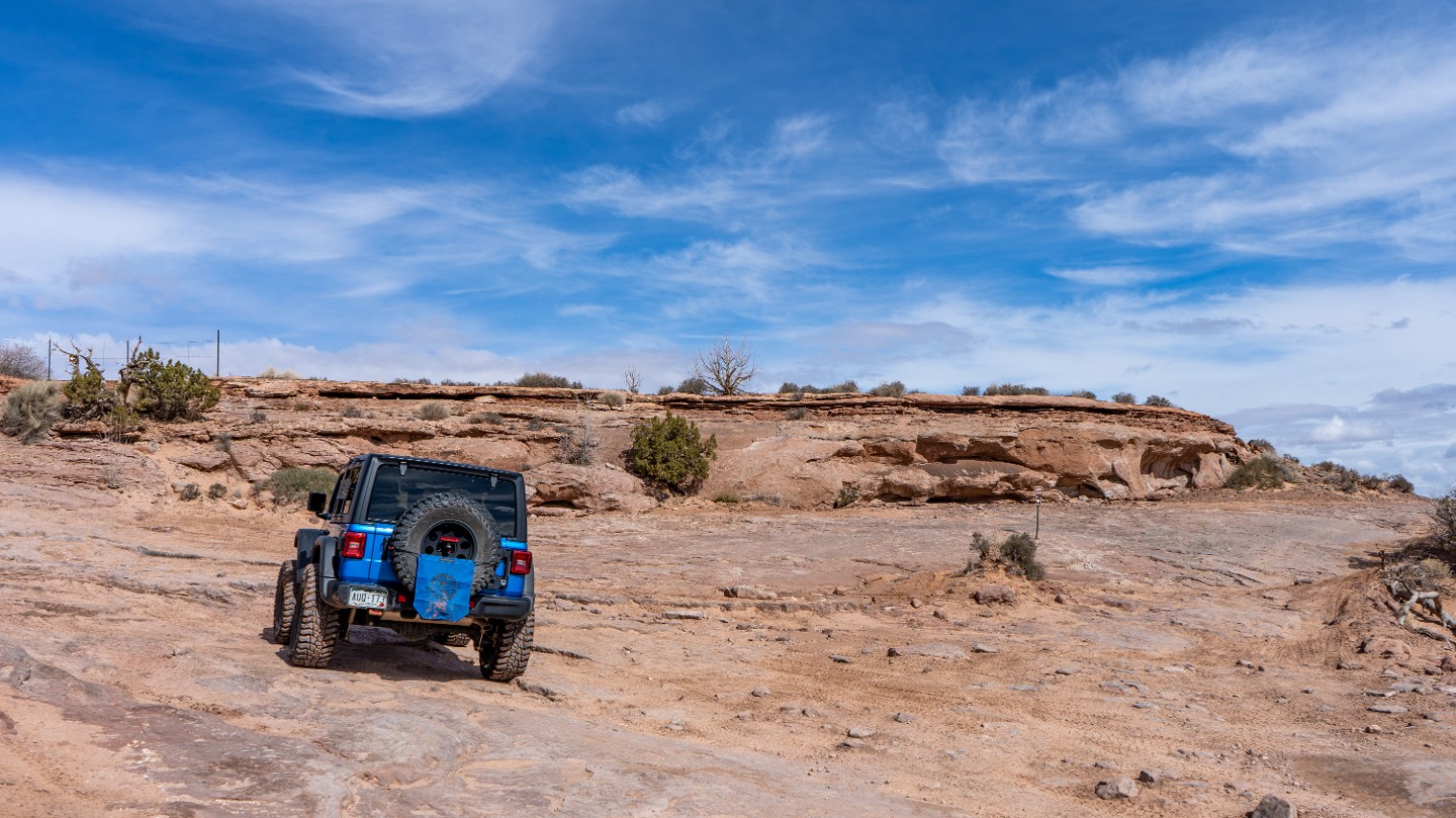
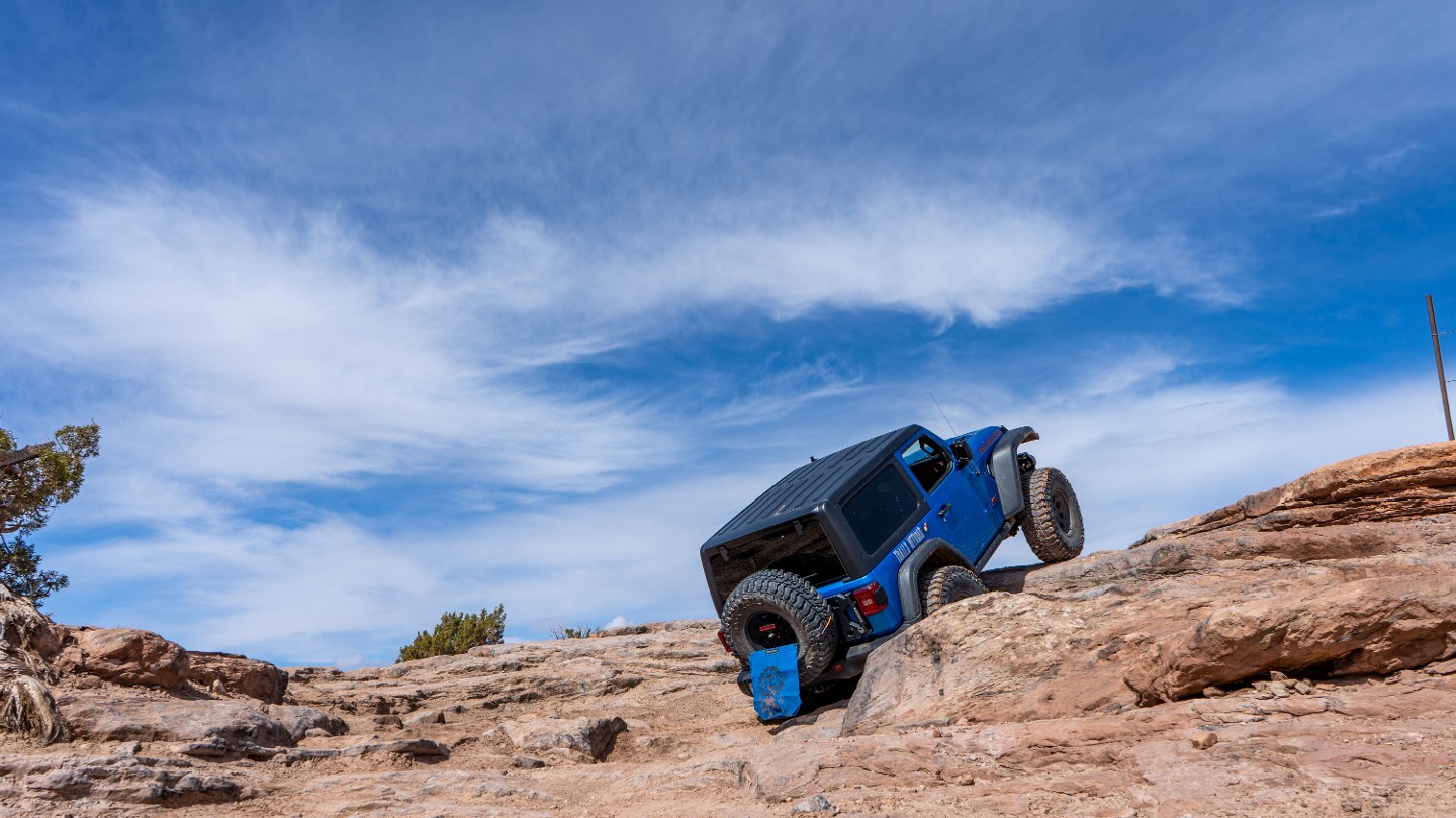
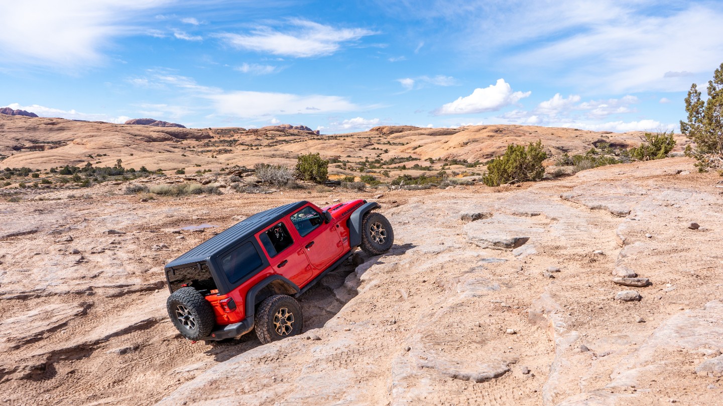
To the west is a ledge obstacle with several lines from easy to moderate. Bypass the obstacle by circling around to the east.
20. Bypass Reconnect (2.19 mi)
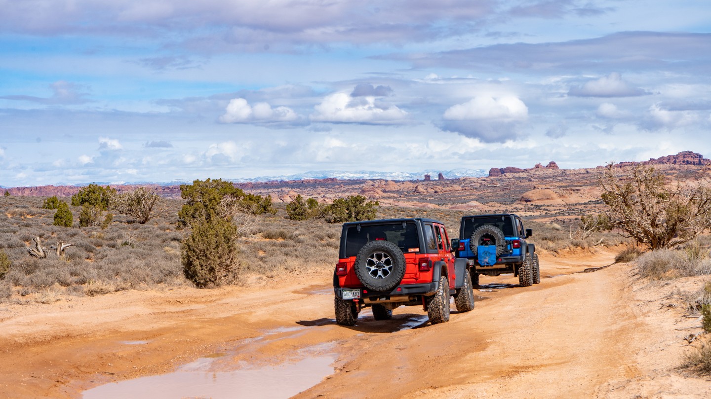
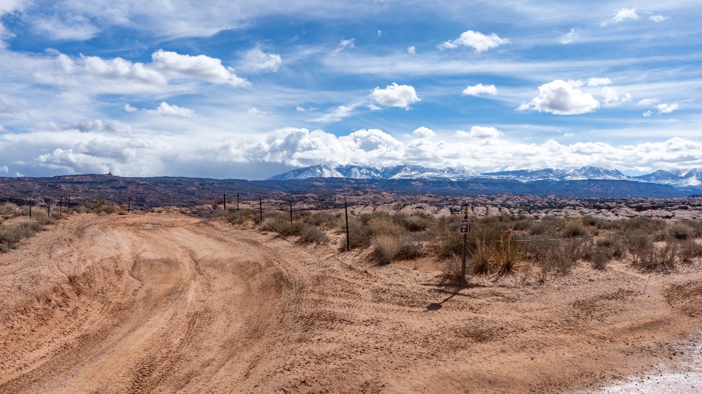
The trail flattens out and begins crossing a sandy section as the bypass route reconnects from the east.
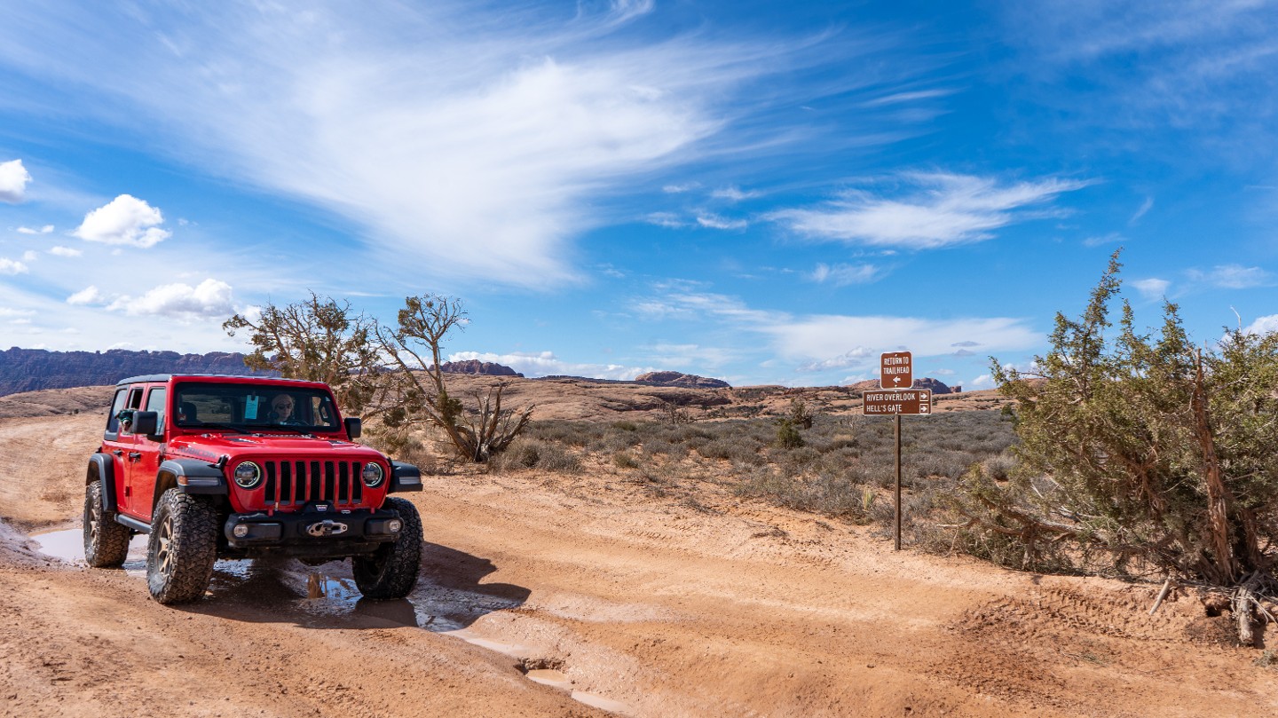
21. Trail Forks (2.43 mi)
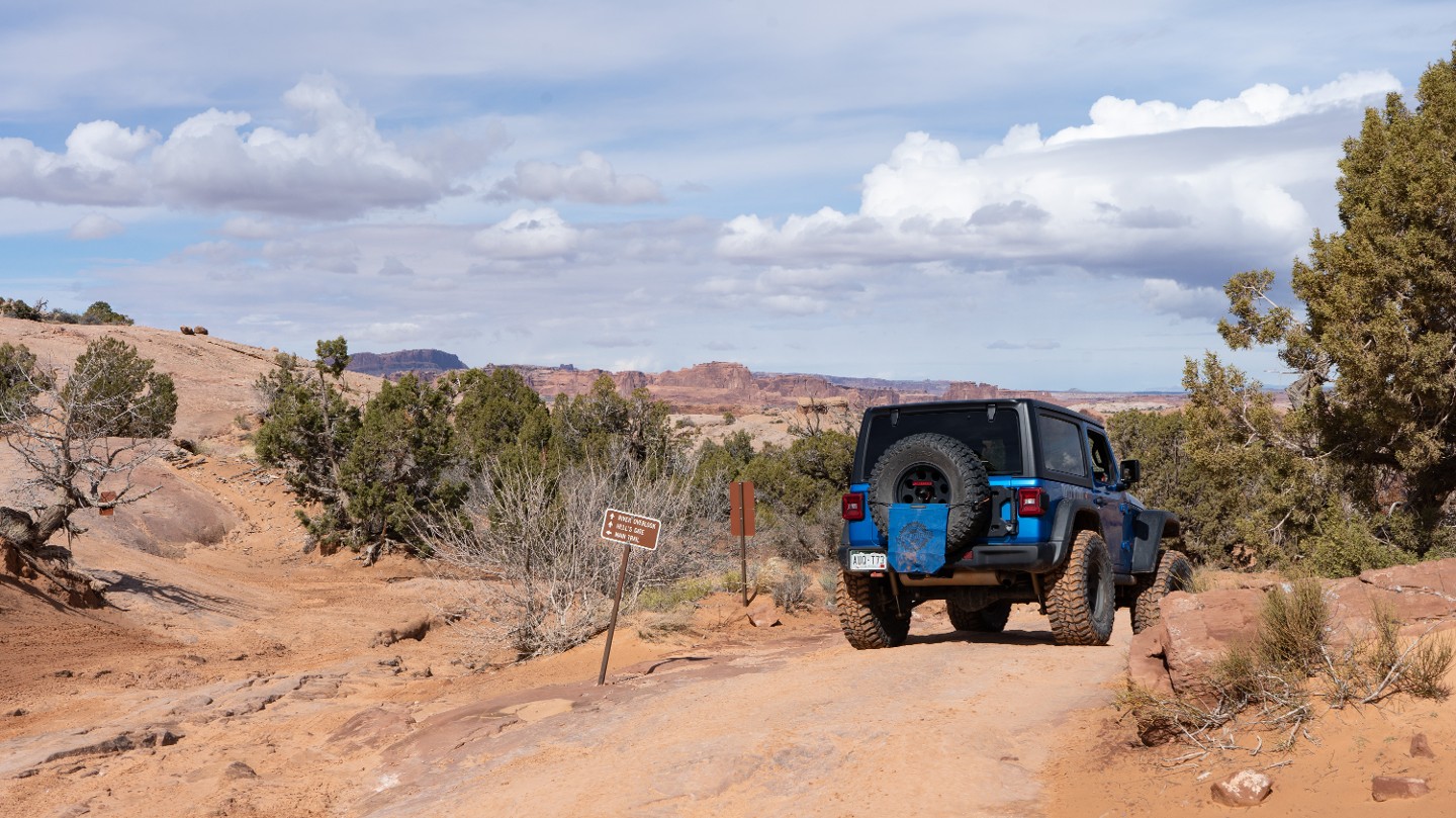
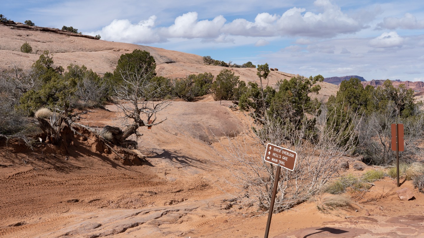
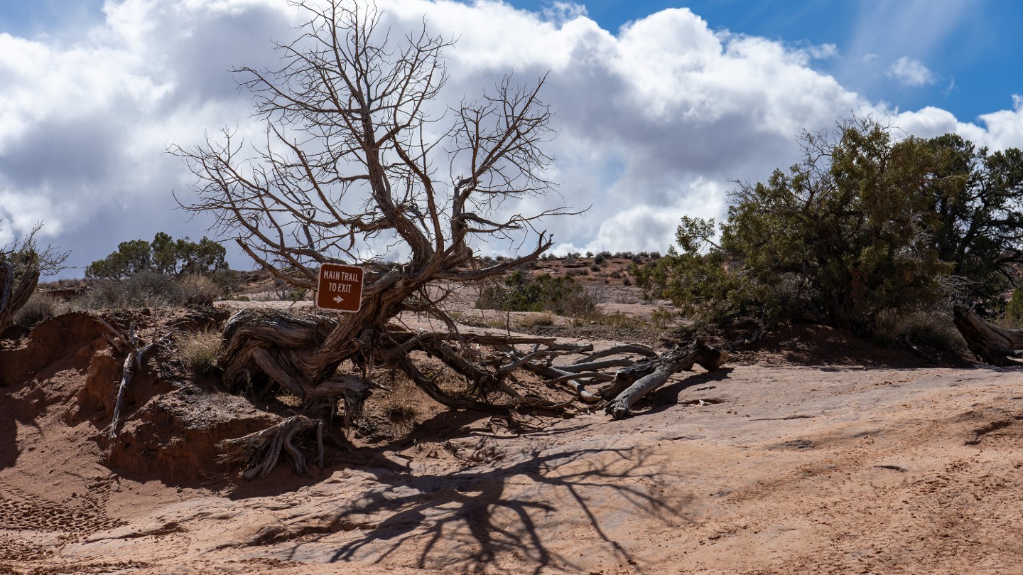
Continuing north at this intersection takes you to Hell's Gate and the Colorado River Overlook. You will return to this intersection later and head east to finish the trail.
22. Hell's Gate Exit (2.83 mi)
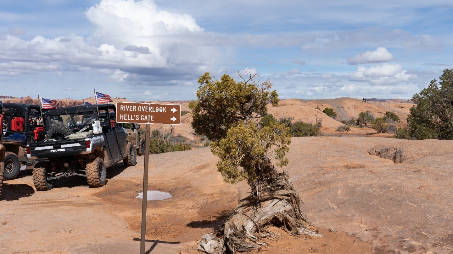
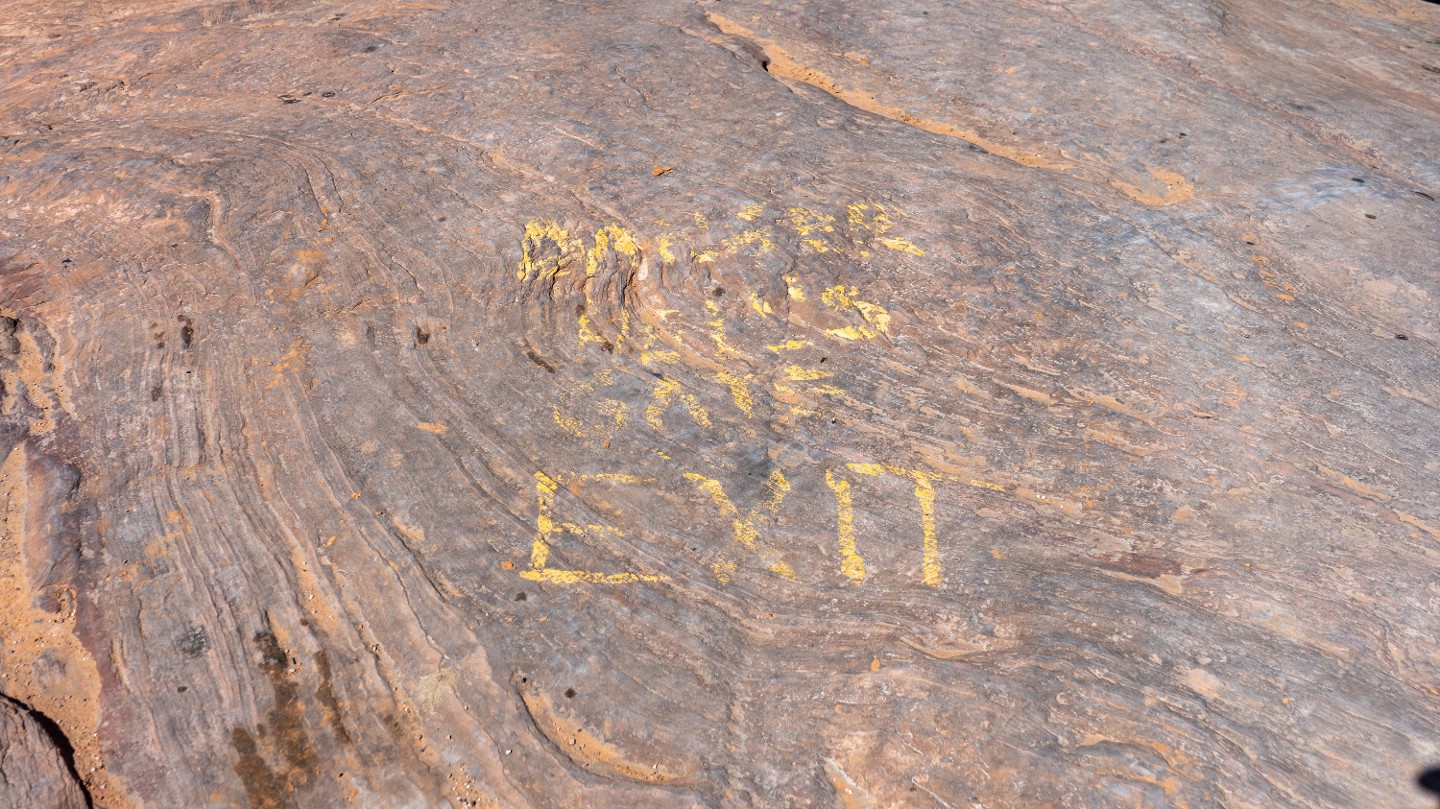
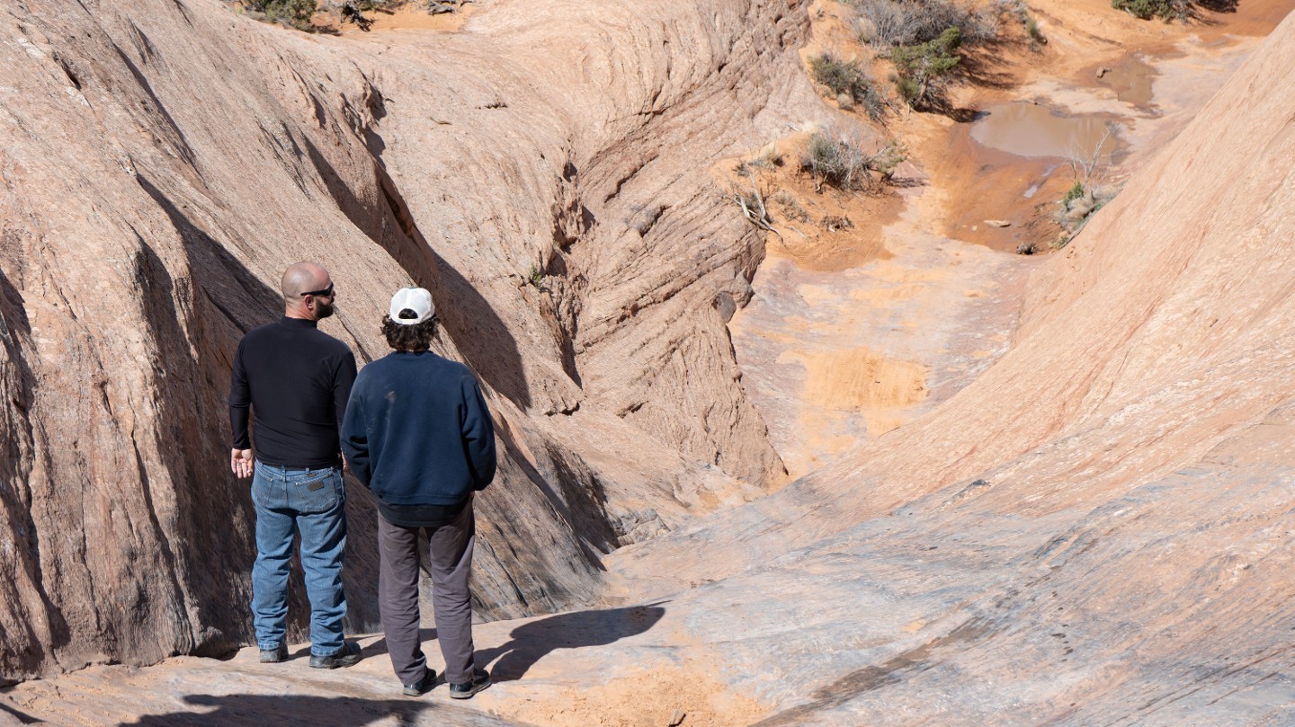
Pass the exit of Hell's Gate, where it's not unusual to see crowds gathering to watch vehicles attempt this difficult, optional obstacle. The entrance to Hell's Gate is 50 yards further ahead and well-marked.
23. Hell's Gate Entrance (2.9 mi)
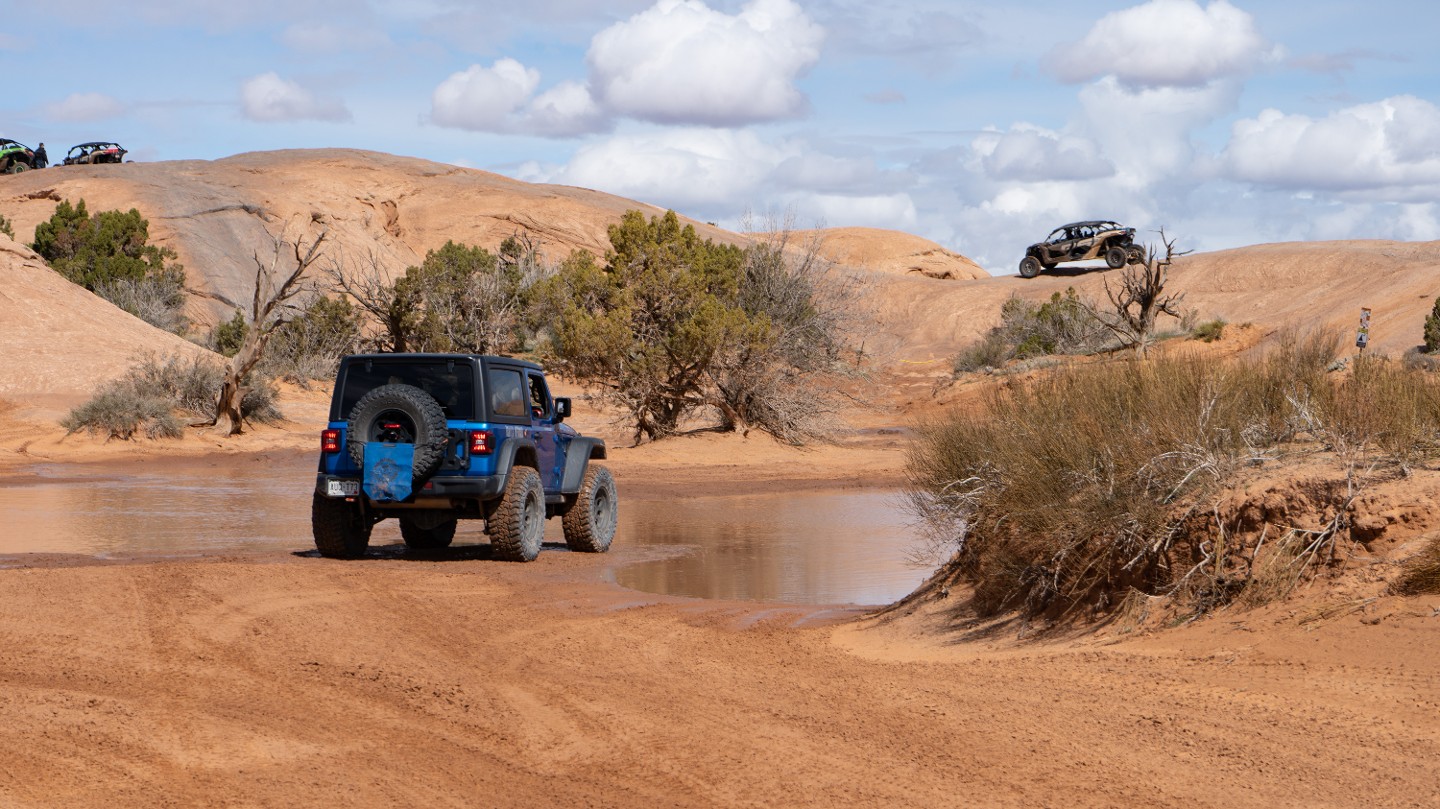
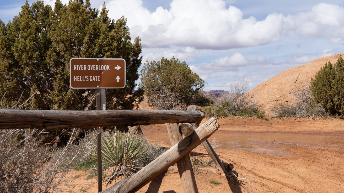
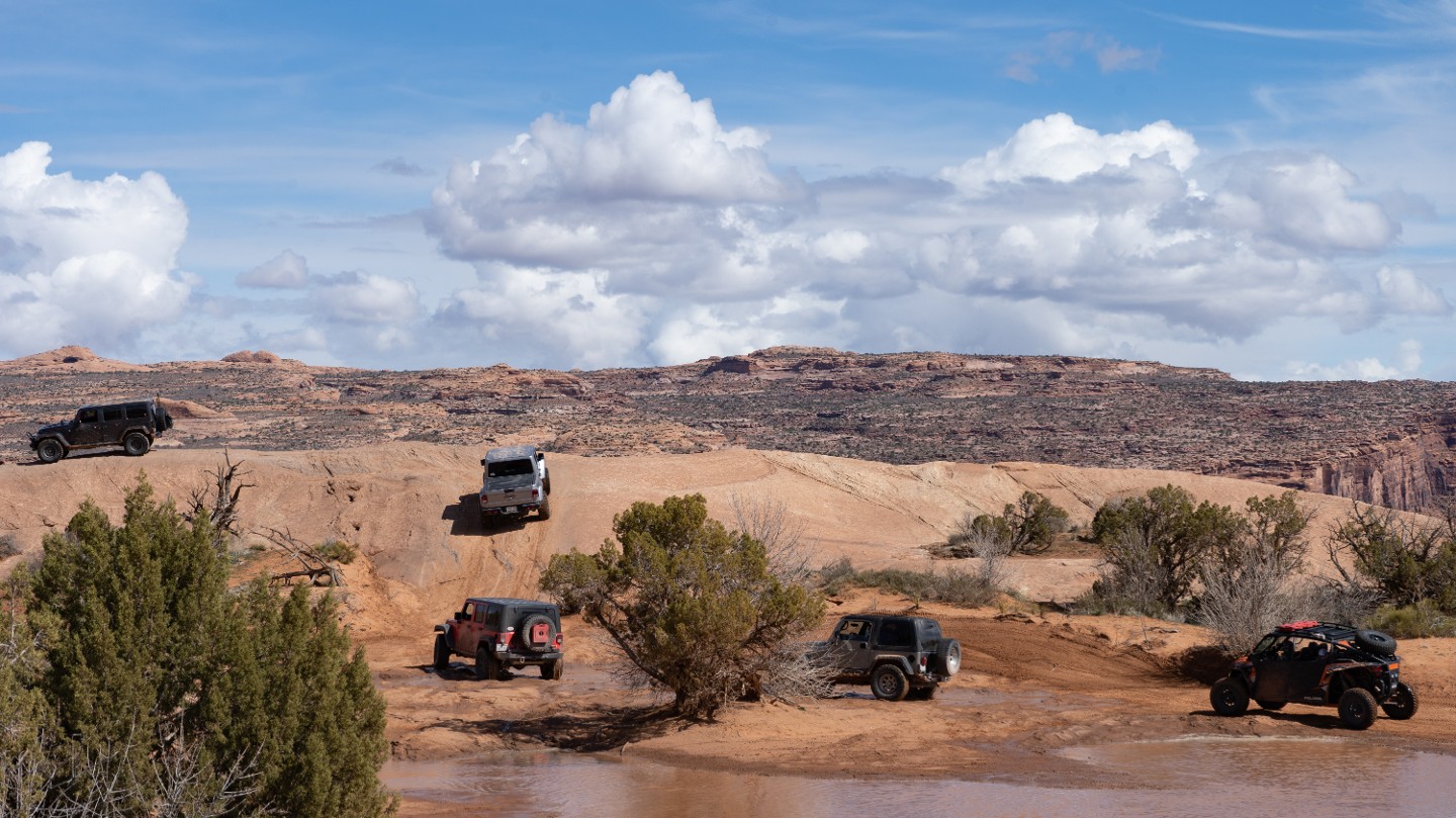
Pass the optional Hell's Gate and continue up a steep slickrock fin to the overlook.
24. Colorado River Overlook (2.99 mi)
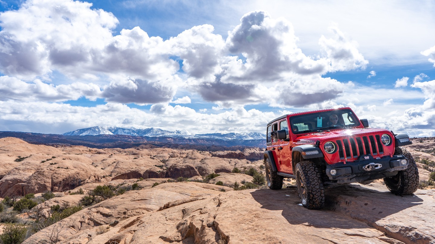
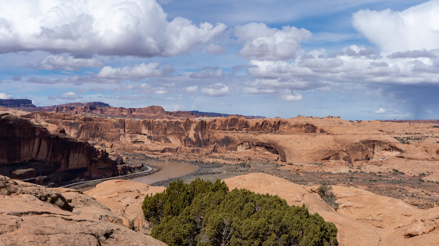
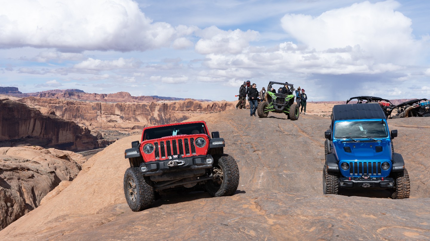
A popular and often crowded gathering spot, the river overlook marks the end of the northern branch of the trail. Incredible views of the Colorado River and the La Sal Mountains will have your camera praying for more memory. Return the way you came, back to Waypoint 21.
25. Constant Slickrock (4.18 mi)
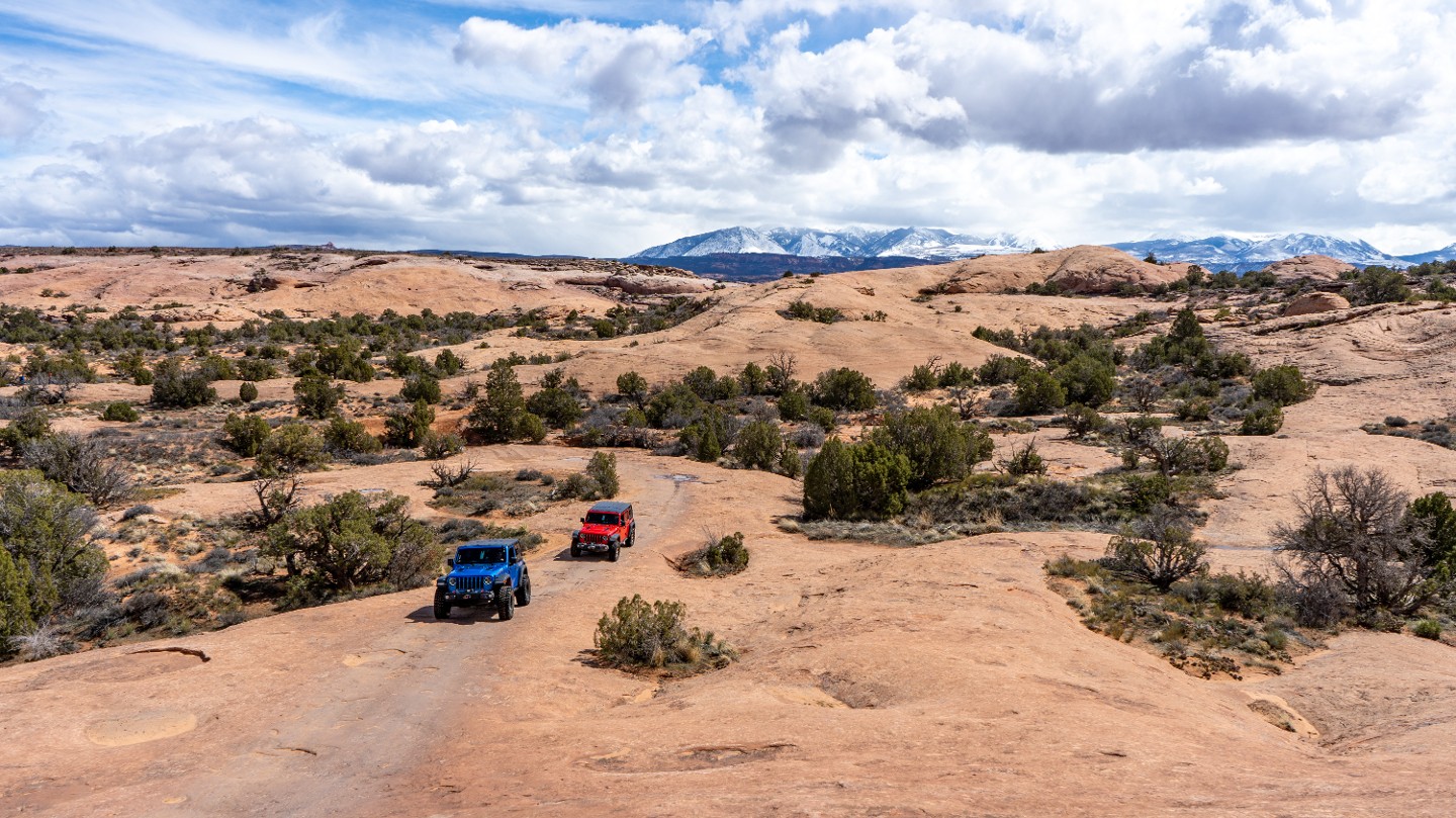
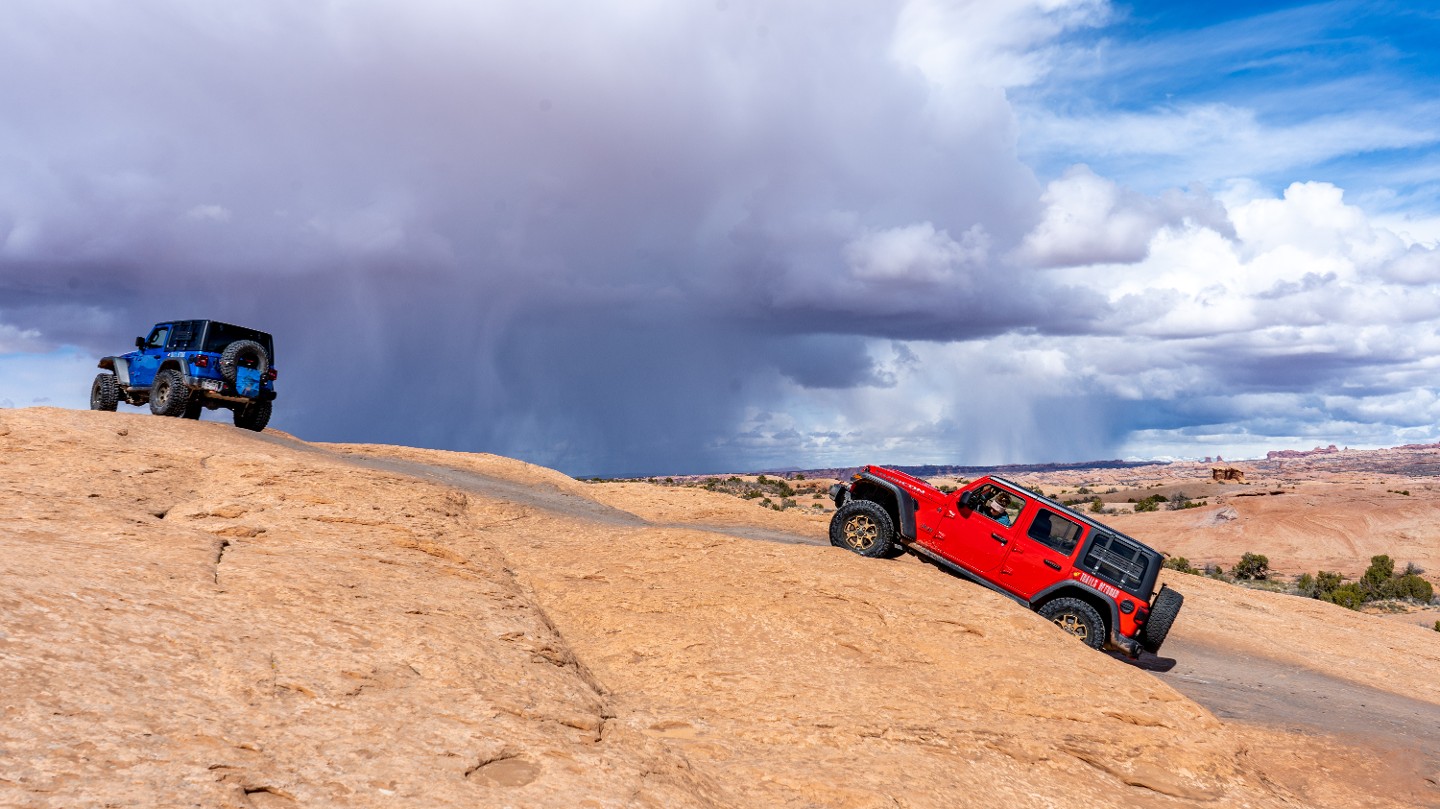
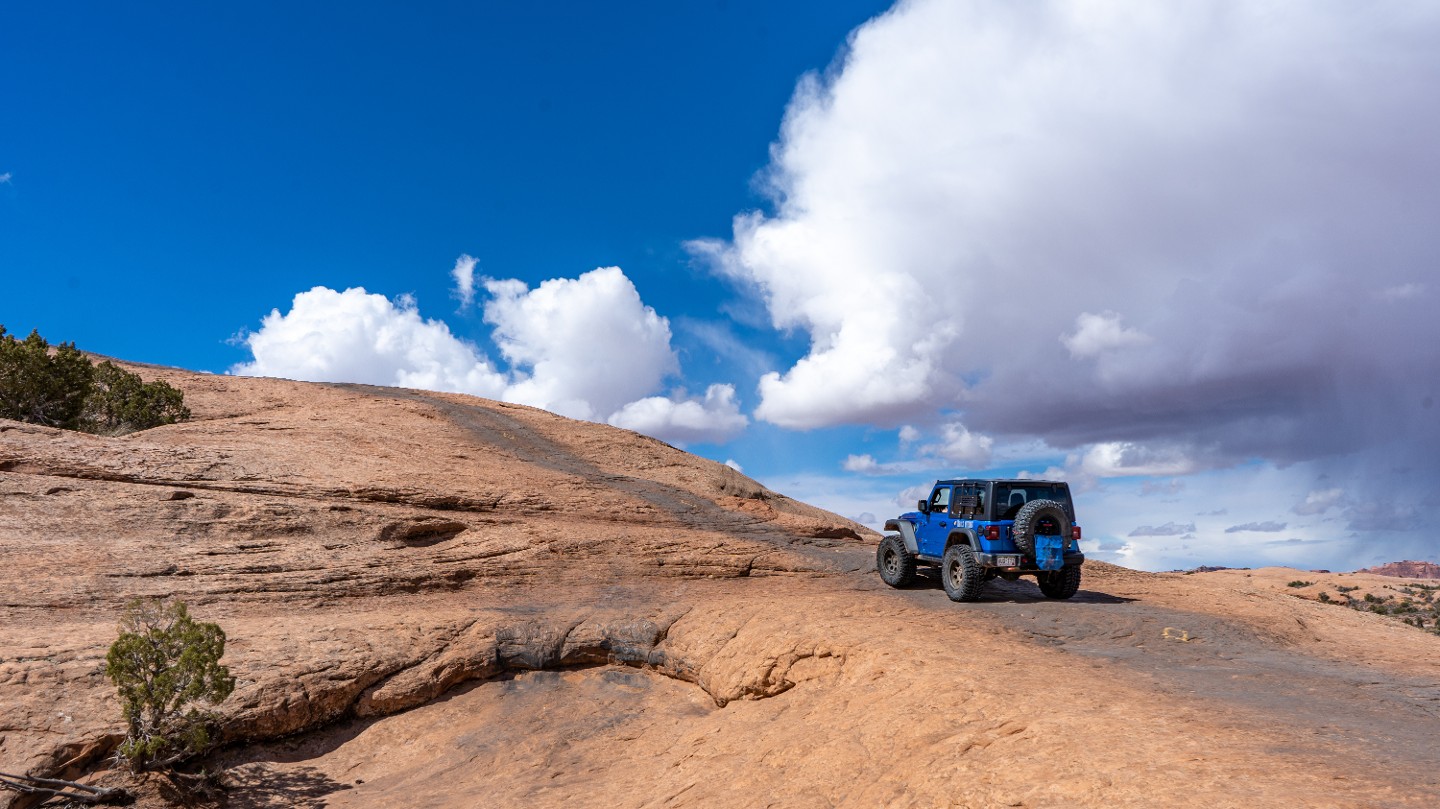
After returning to Waypoint 21 and heading east, you begin traversing long stretches of continuous slickrock.
26. Steep Twin Drops (4.34 mi)
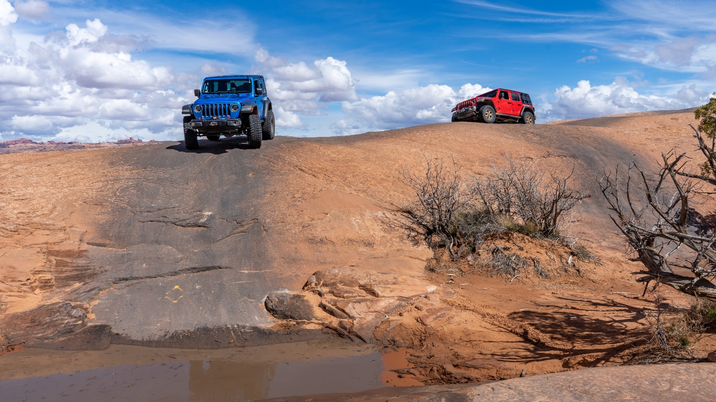
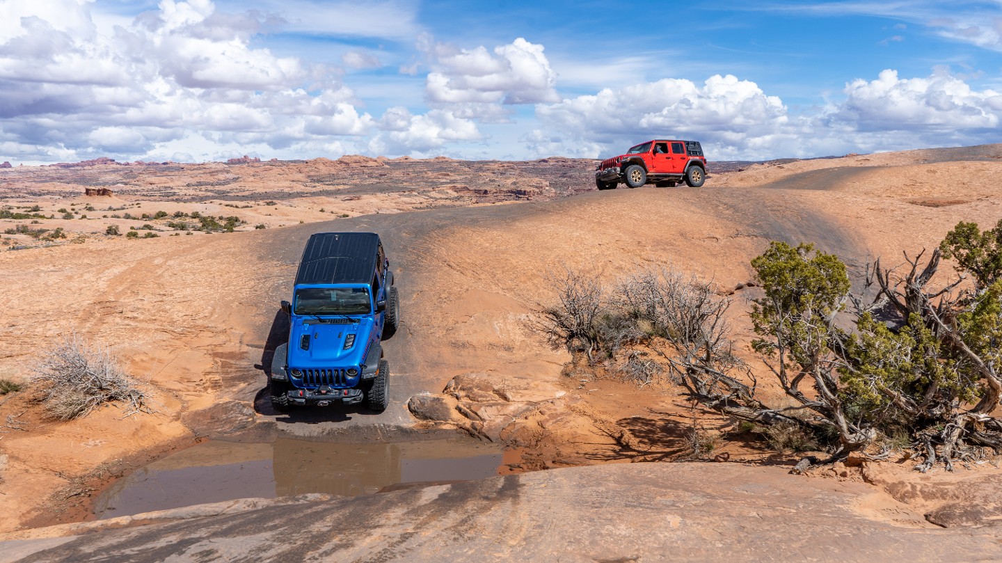
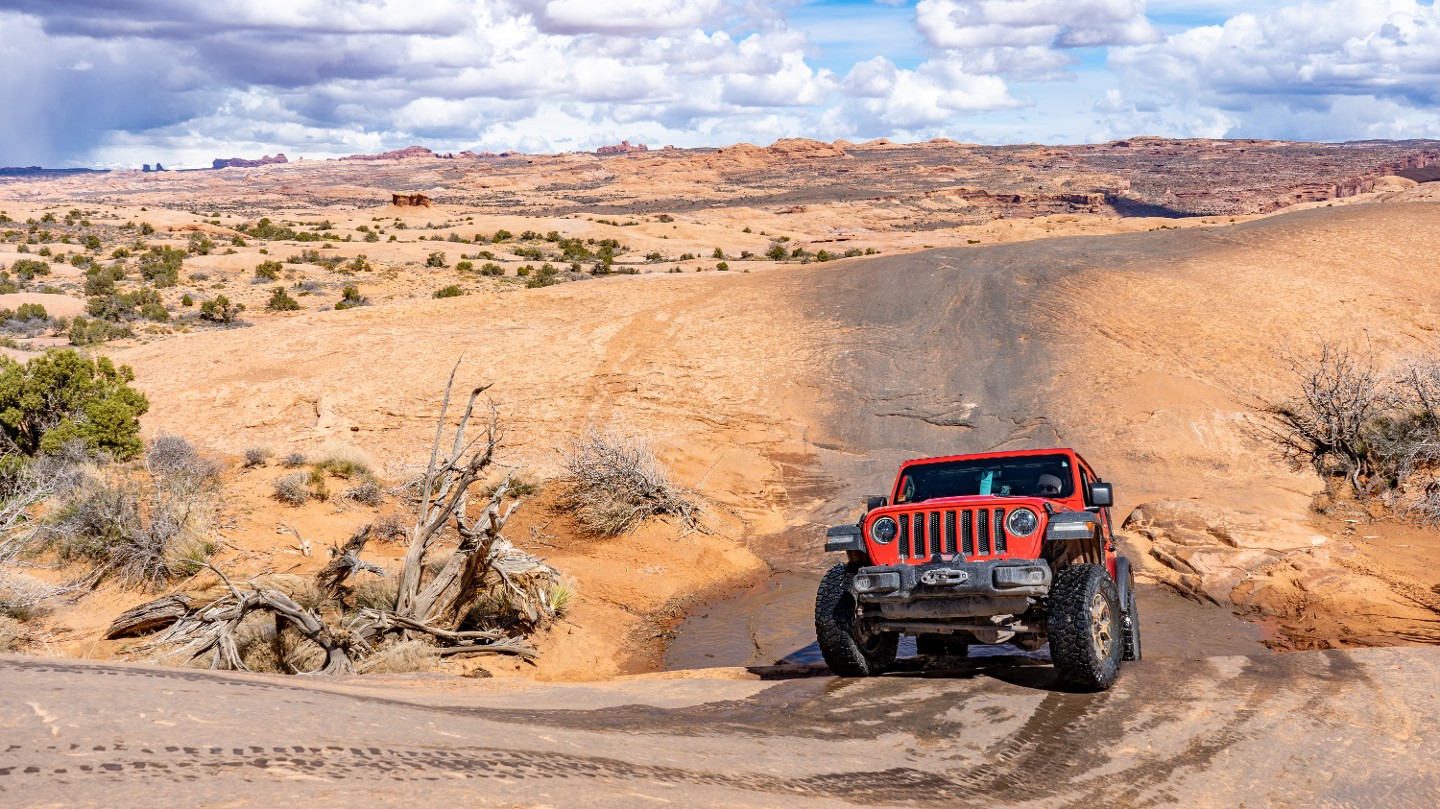
Drop down twin, side by side, 30-degree hills.
27. Black Hole (4.6 mi)
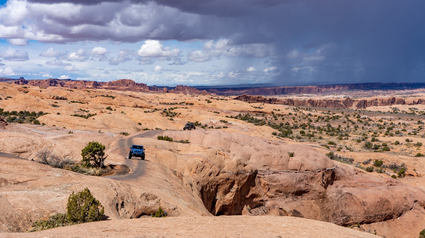
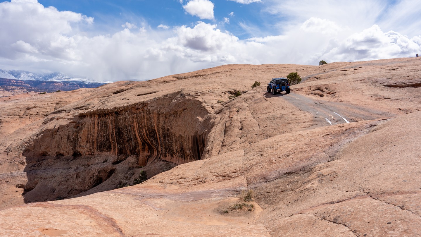
The Black Hole is named for the shadow that constantly lurks under the large overhang of slickrock. This is also an area where you drive right along the edge of the large cliff. If you're nervous, focus on the black tracks in front of you. If you are brave enough to look down, you will see the rusted remains of a vehicle below.
28. Devil's Highway Hot Tub (4.71 mi)
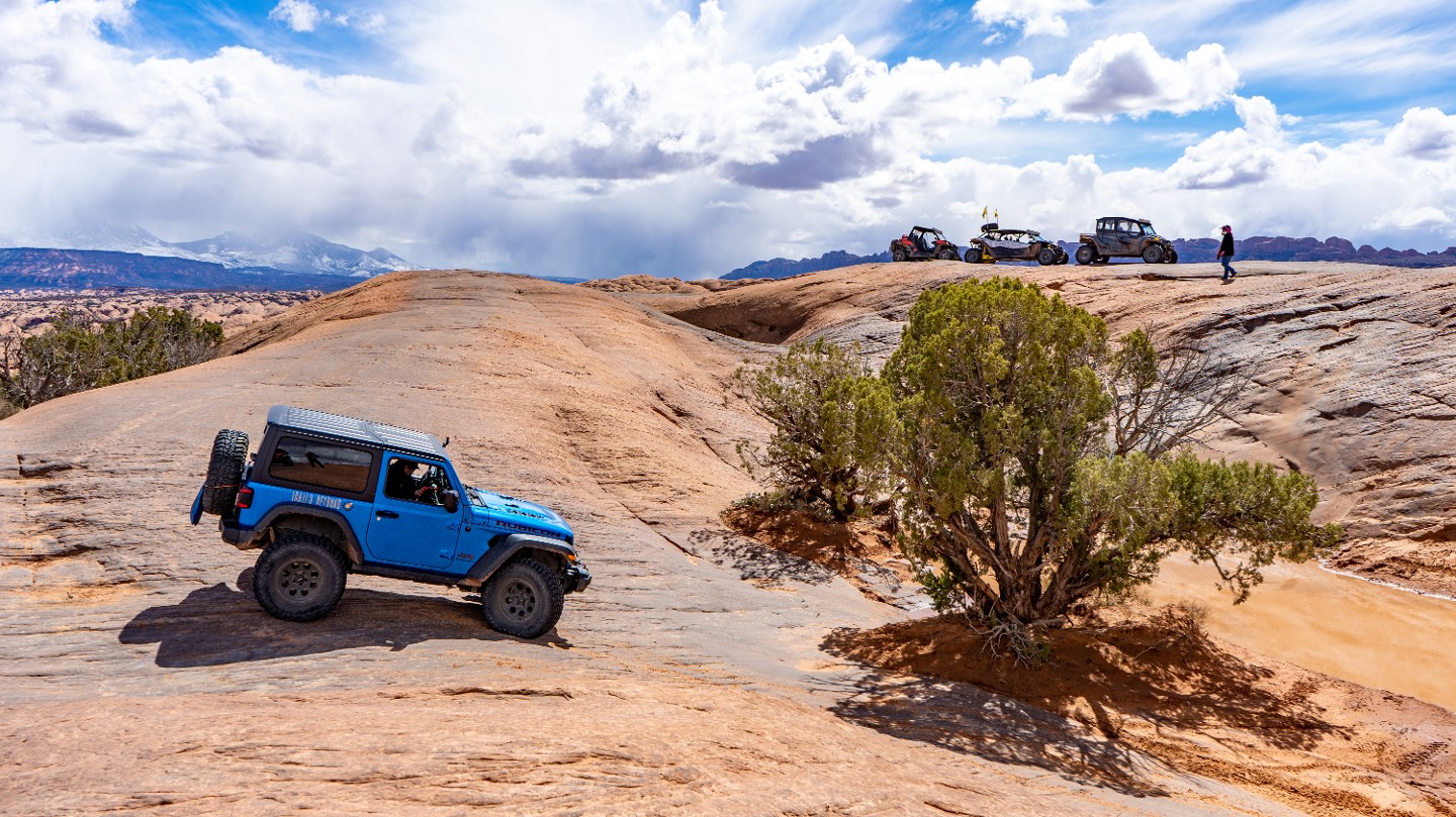
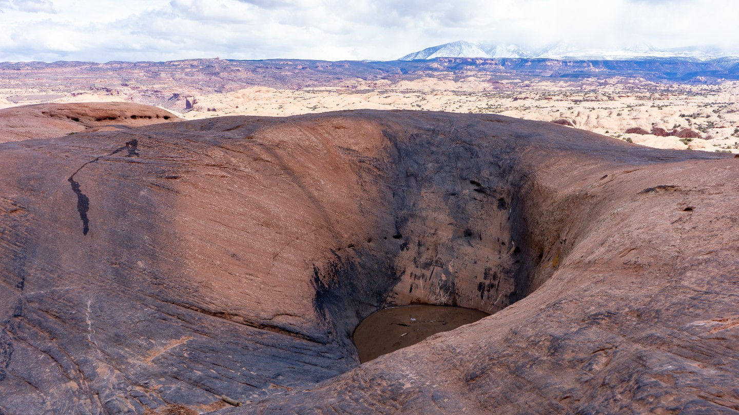
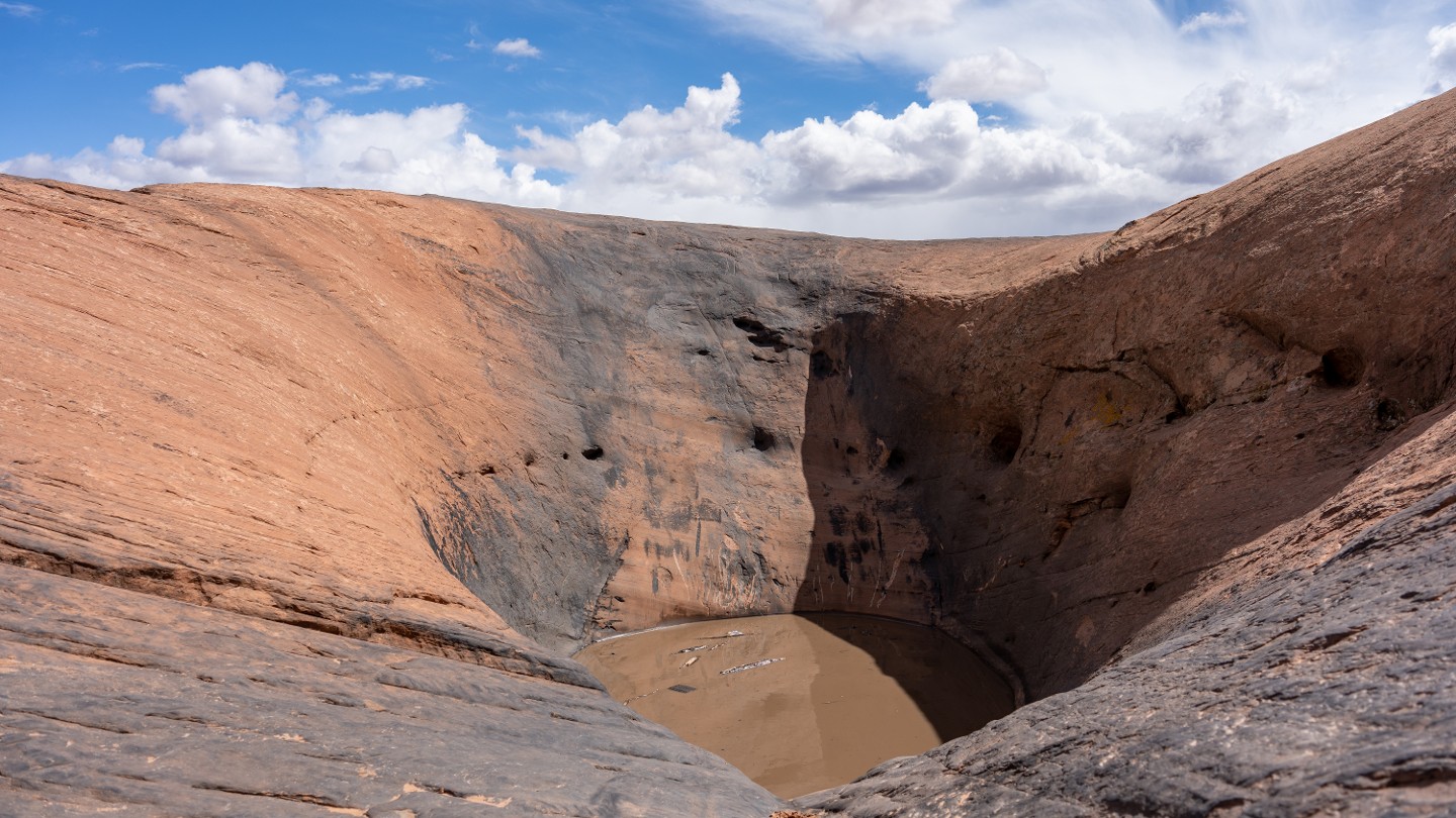
This optional obstacle has several names, including Devil's Highway, The Big Hot Tub, and Devil's Hot Tub. This is an extreme obstacle that takes loads of power and full commitment. This is the largest hot tub along the trail, and water is almost always pooled at the bottom, making it even harder to get traction. Vehicle rollovers are common on this obstacle.
29. Car Wash Hot Tub (4.76 mi)
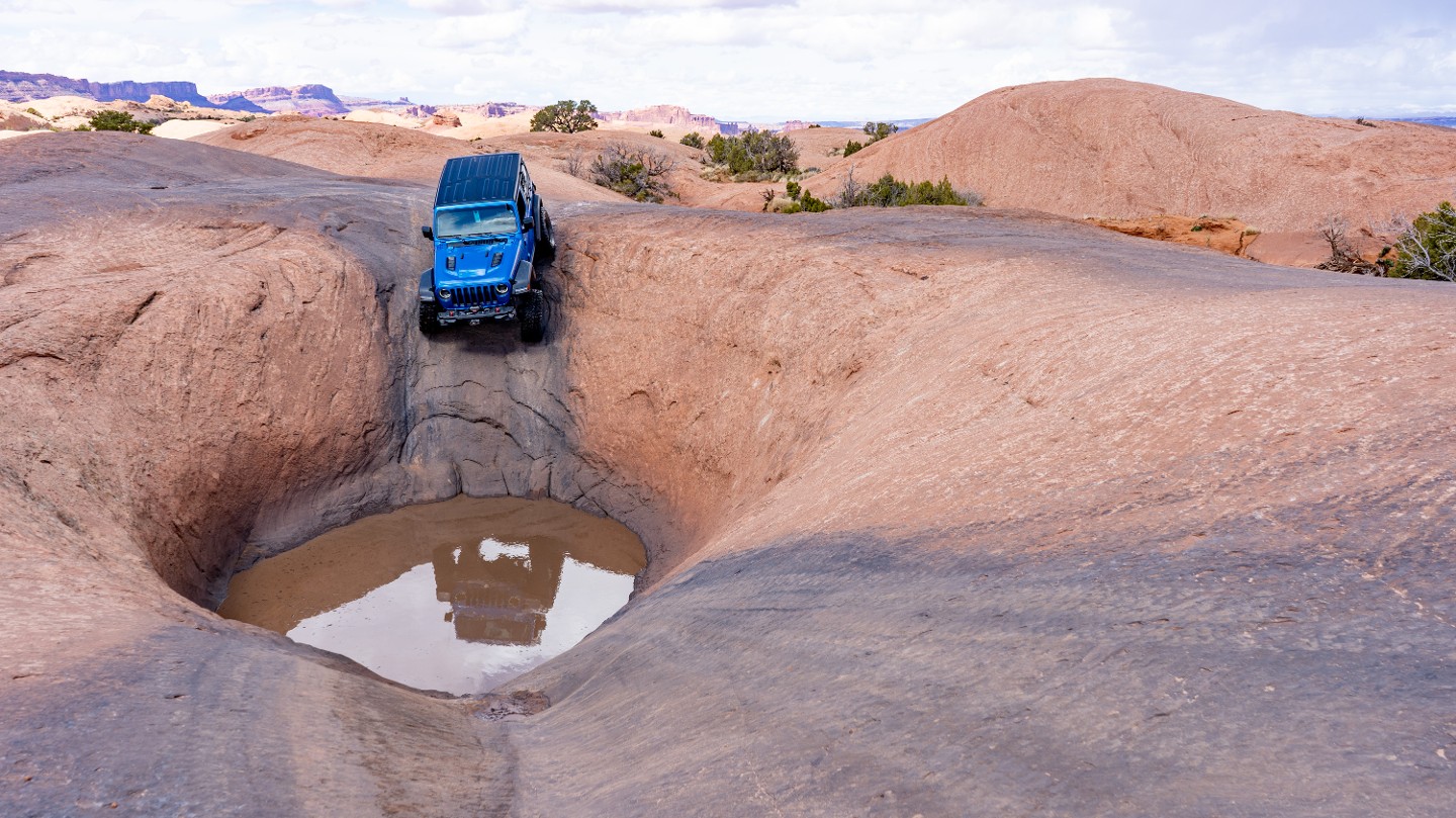
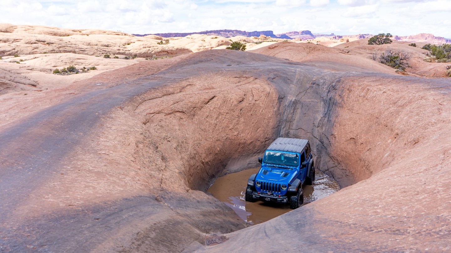
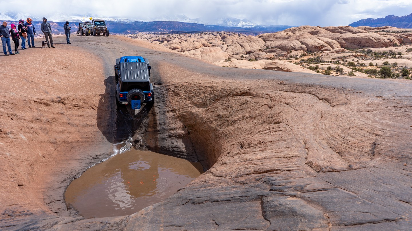
The car wash is another hot tub directly west of Devil's Highway that is steep but much easier than any other hot tub along the trail. The drop into the deep hole is an exhilarating 35 degrees before leveling out across a sandy bottom. The climb up is a smooth 27 degrees with plenty of traction for your tires to crawl.
30. Mickey's Hot Tub (5.06 mi)
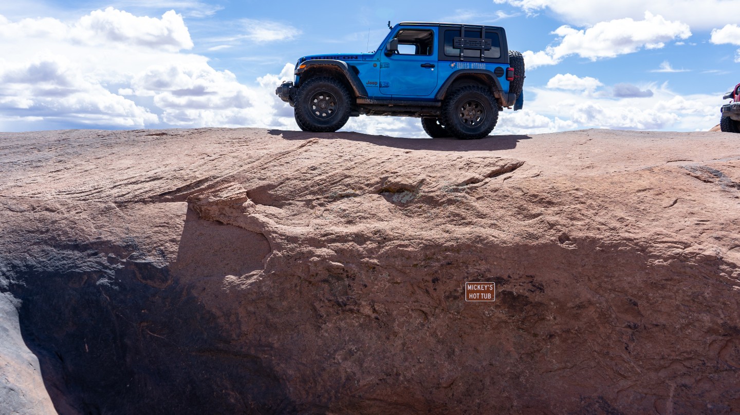
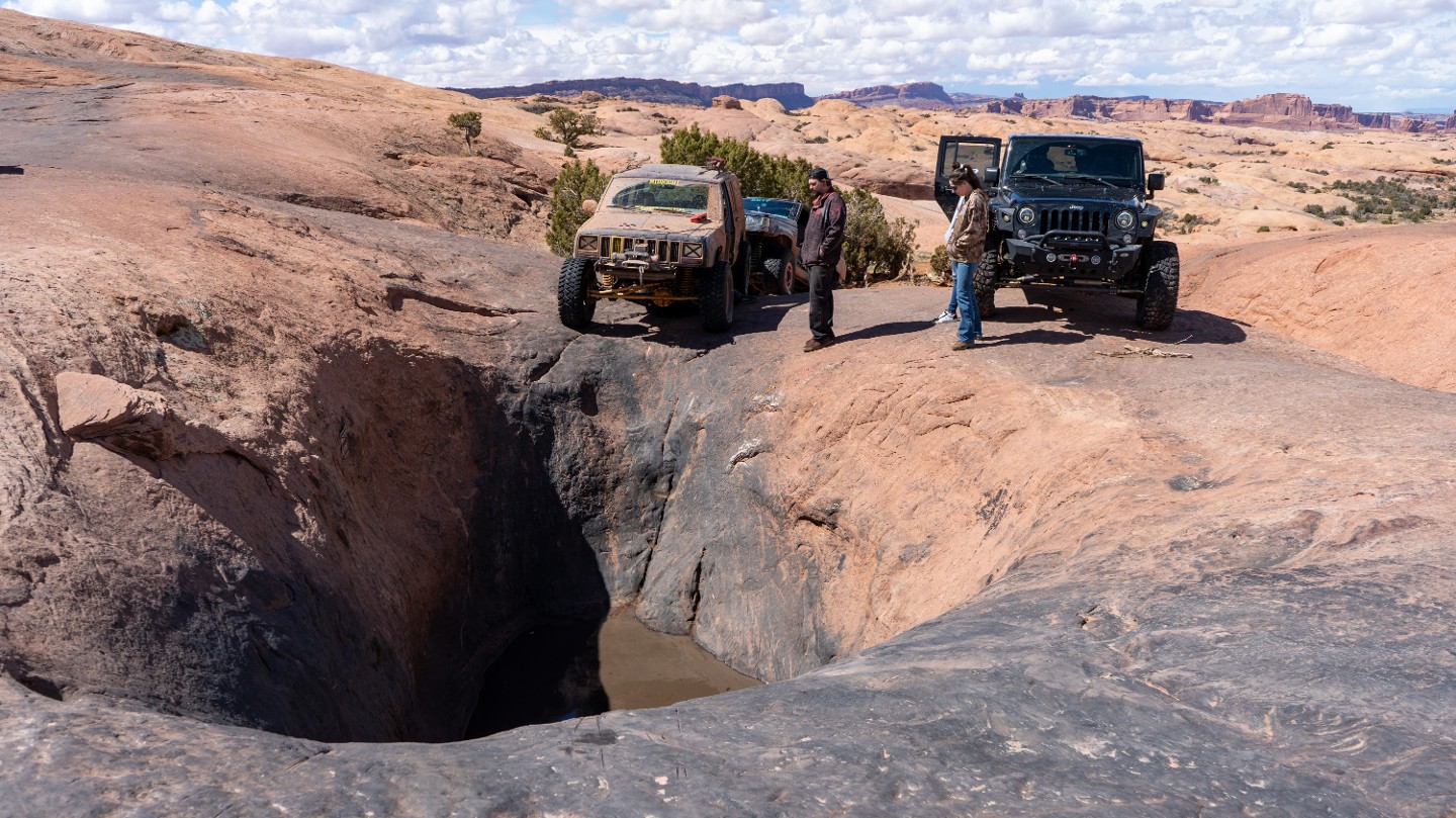
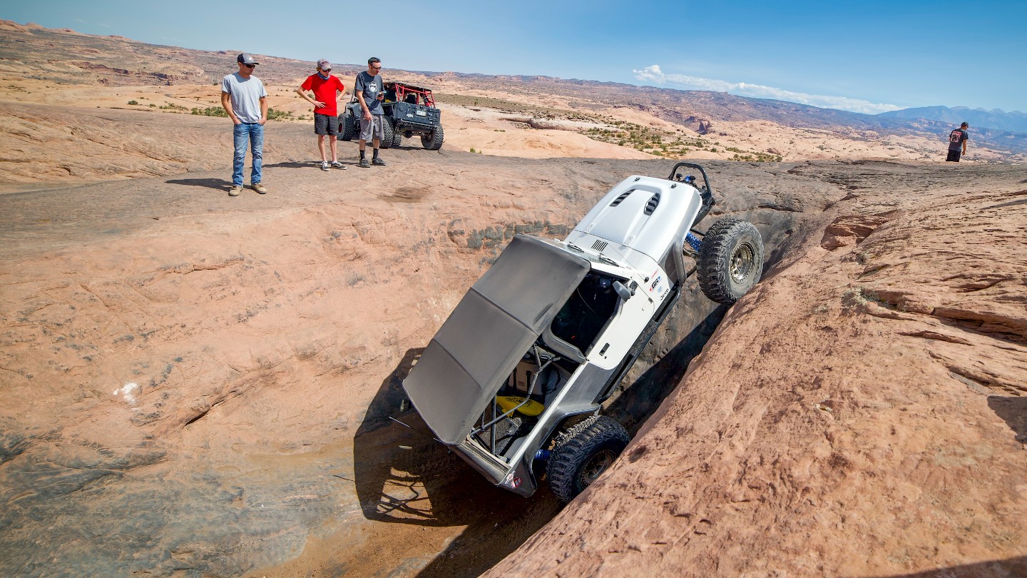
Pass by the optional Mickey's Hot Tub, another pothole famous for inflicting carnage. The hot tub is a short, steep drop, followed by an immediate steep climb out, and requires a good amount of momentum to conquer.
31. Dragon's Tail (5.13 mi)
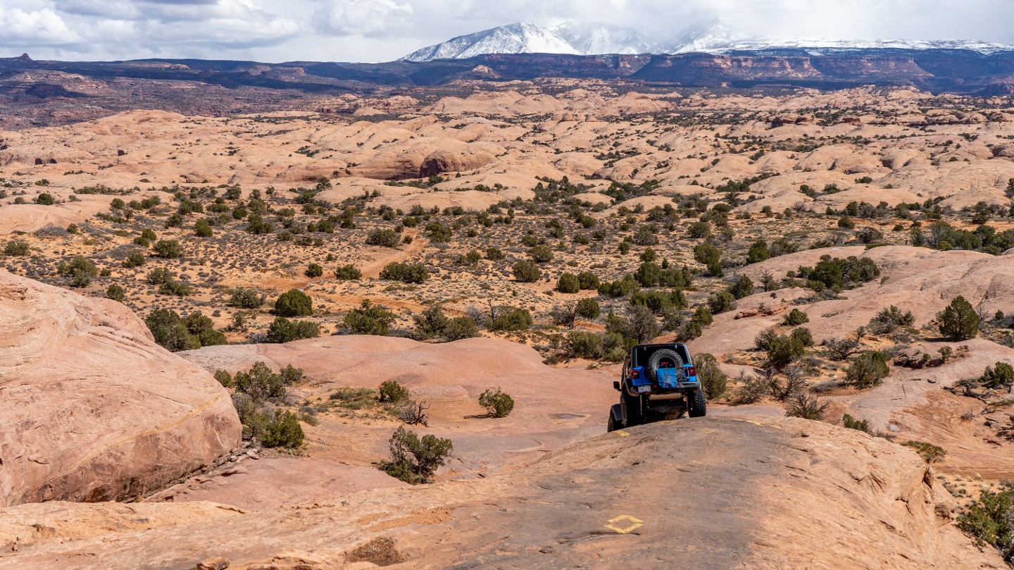
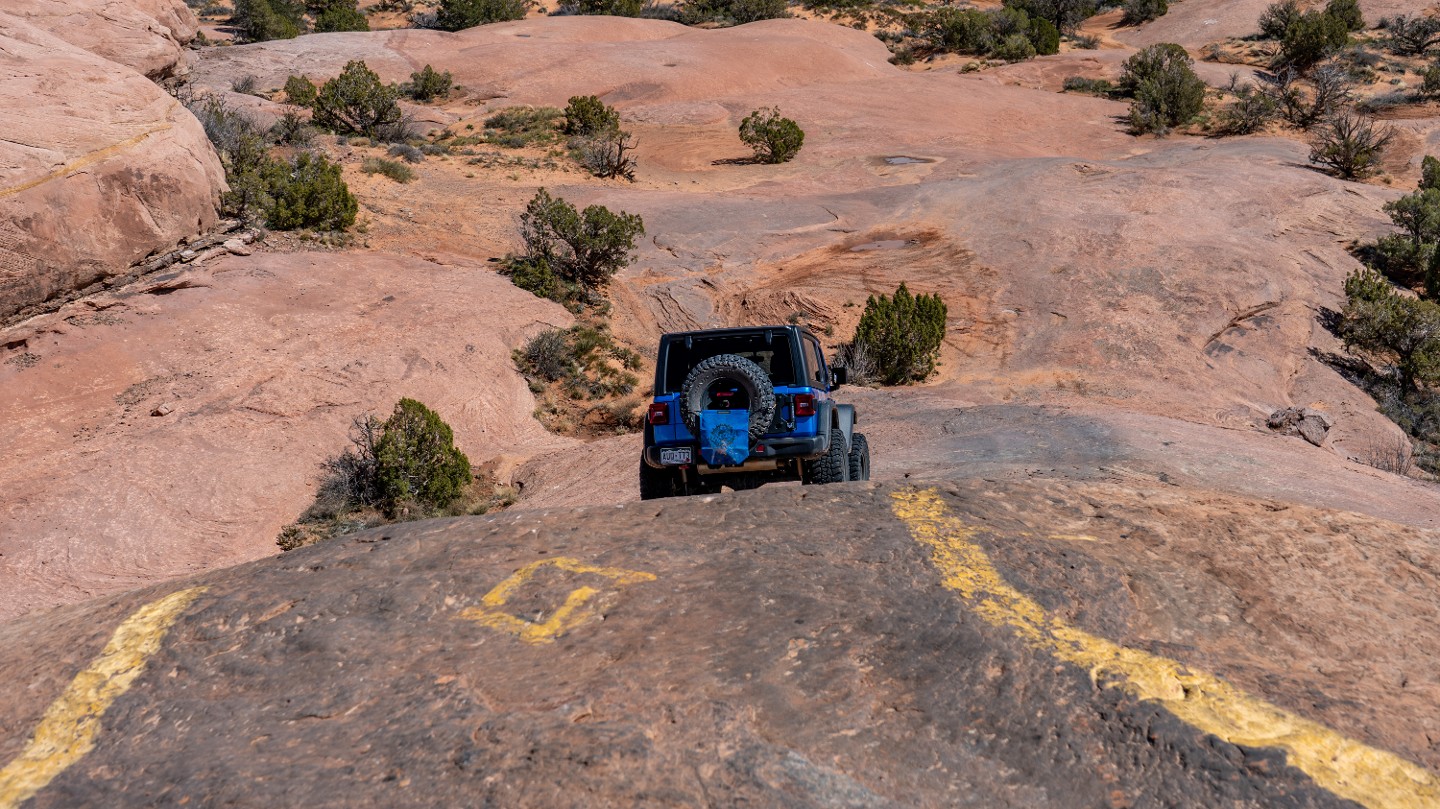
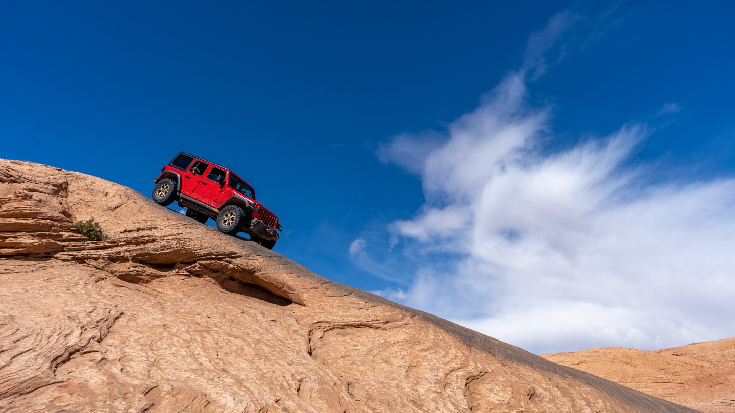
Follow between yellow paint marks as you continue down a blind drop called Dragon's Tail. This extremely steep, 30-degree pitch is relatively smooth and uneventful, but the slope with leaving you guessing how it's possible to descend such a slope.
32. Hell's Alternate #2 Intersection (5.22 mi)
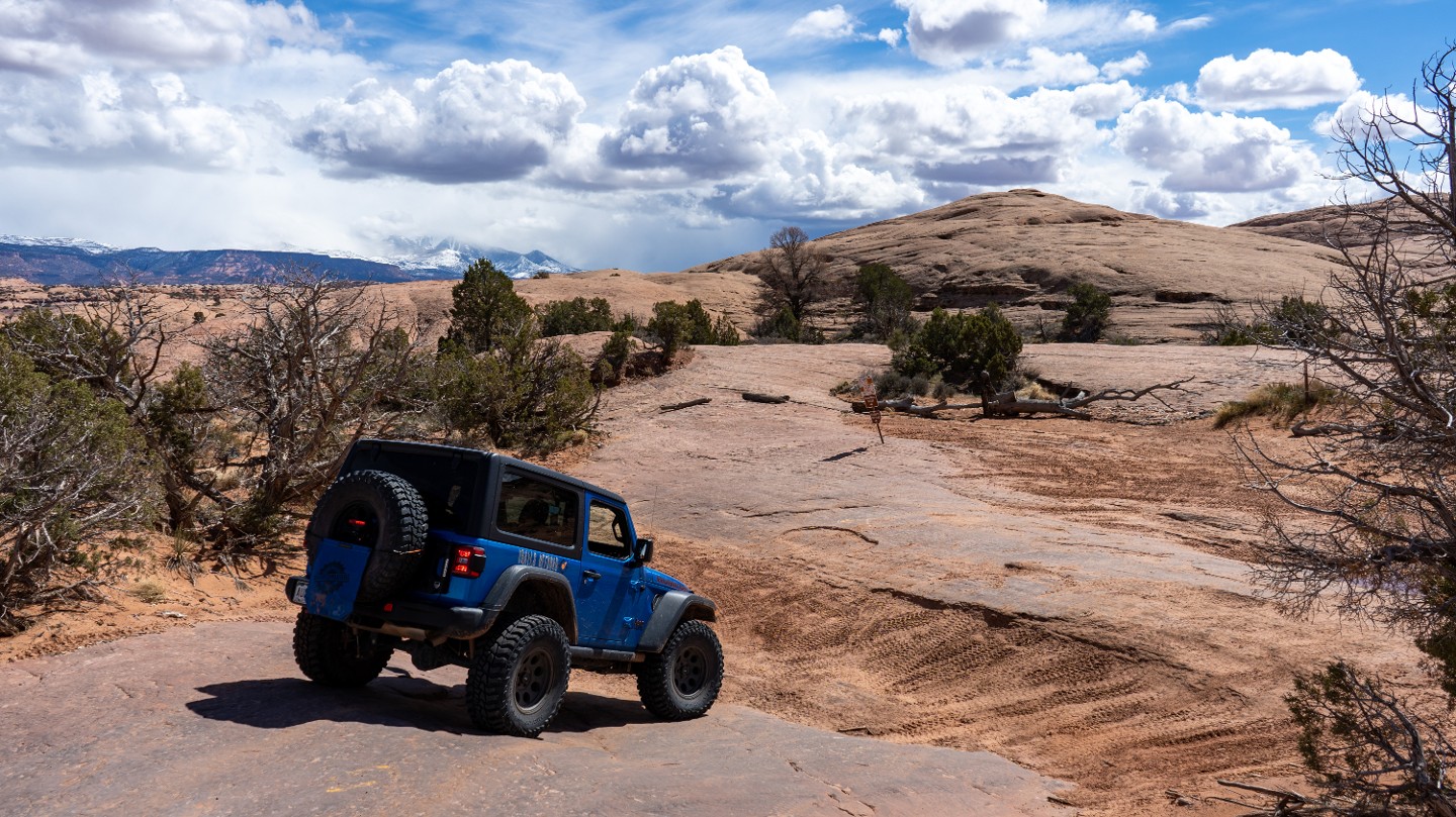
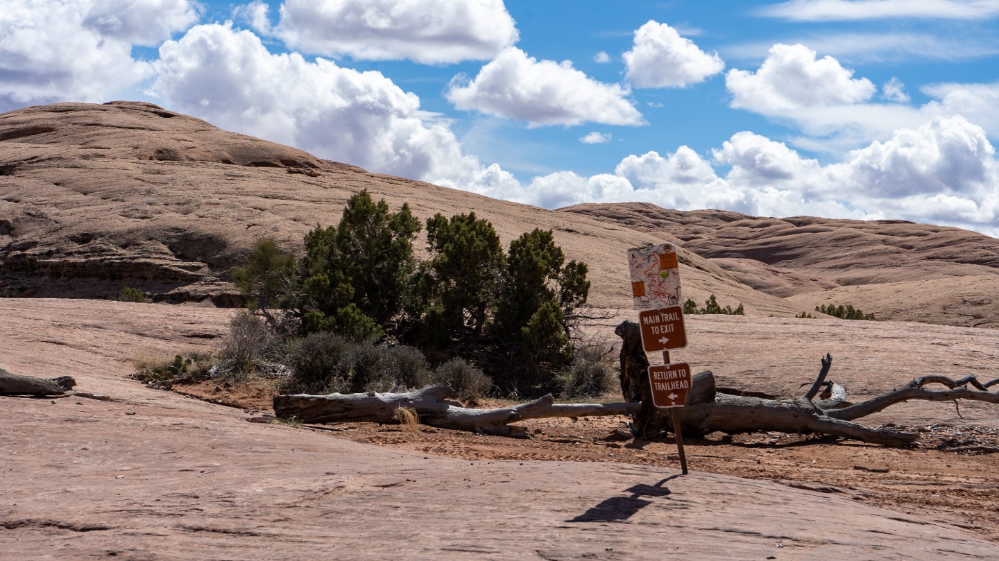
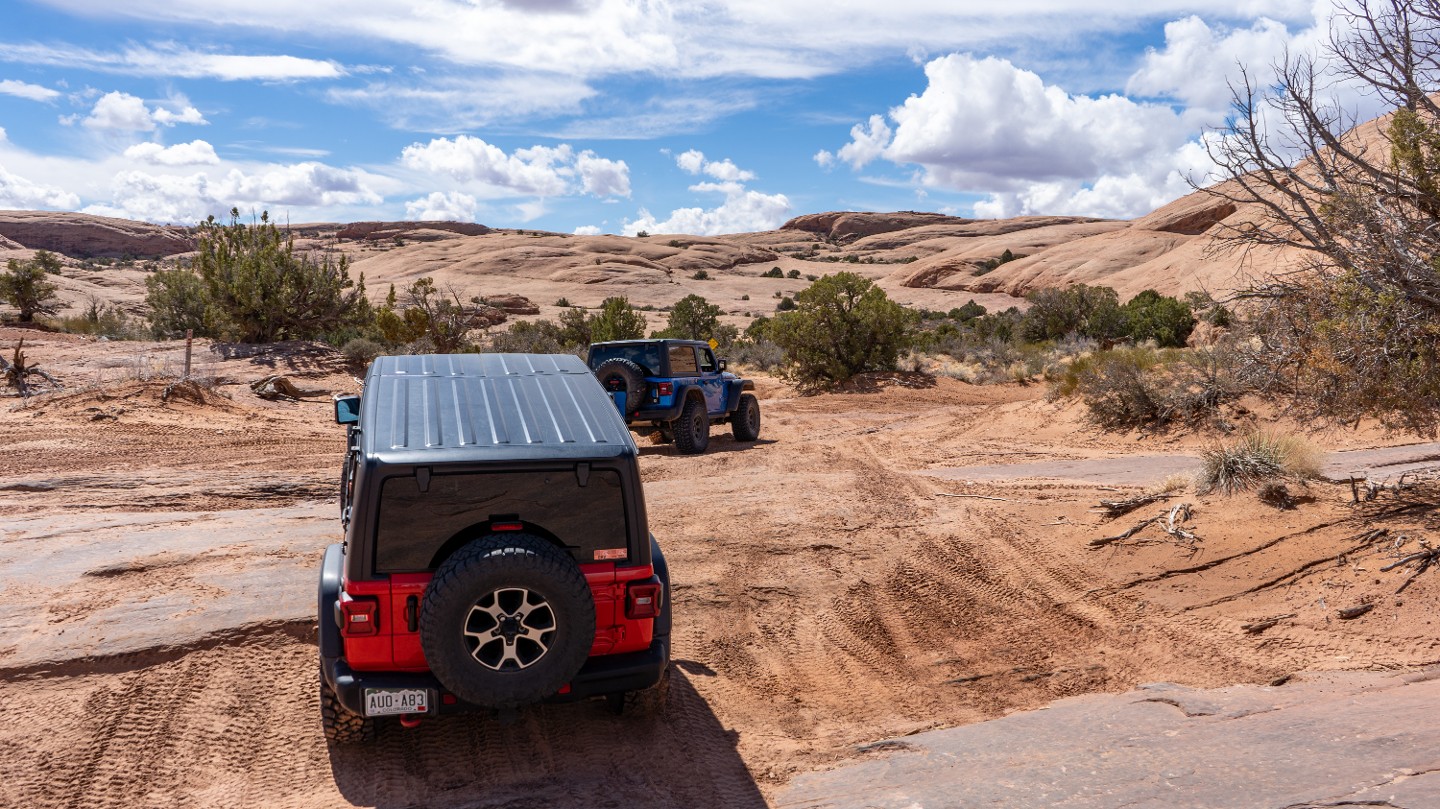
At the bottom of Dragon's Tail, drop into the sand and continue south, passing Hell's Alternate #2, which is a shortcut back to Waypoint 17.
33. Escalator Exit (5.47 mi)
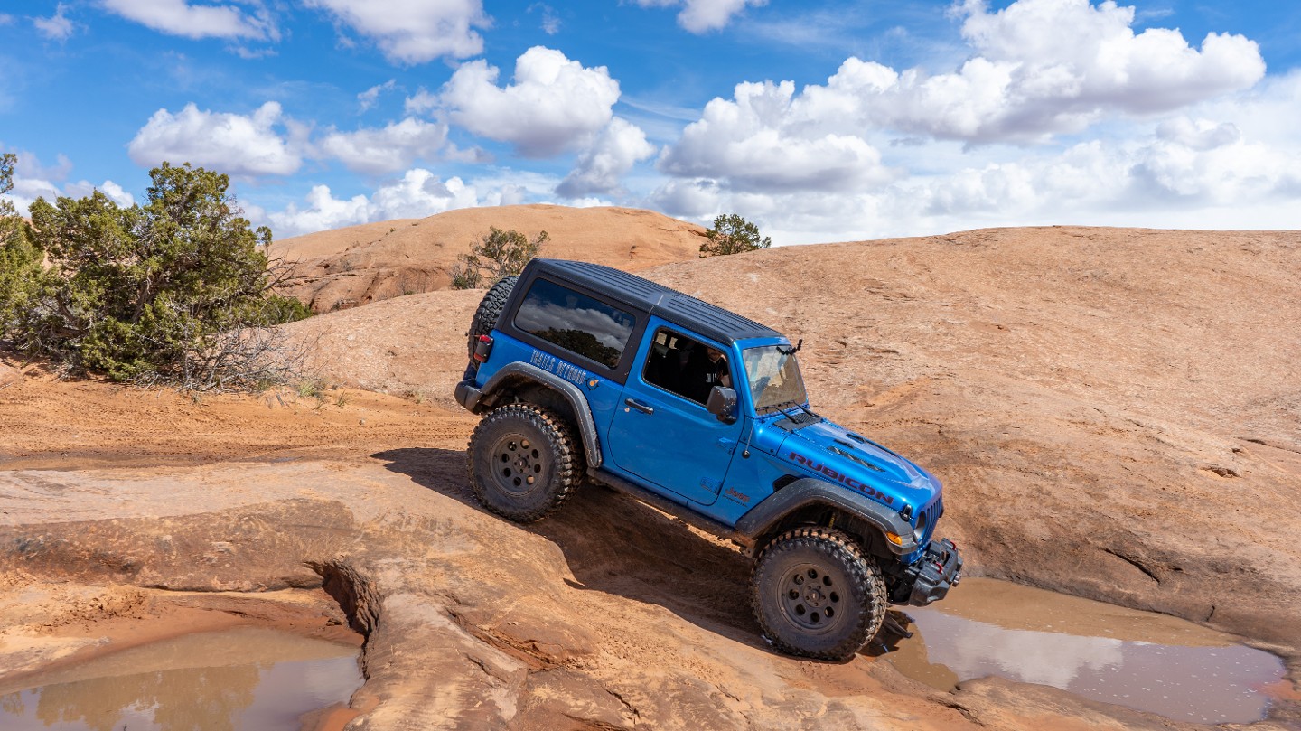
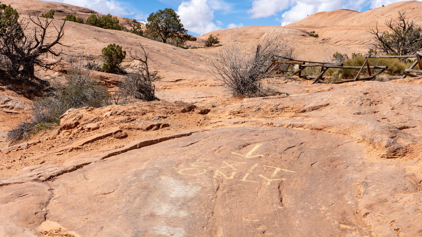
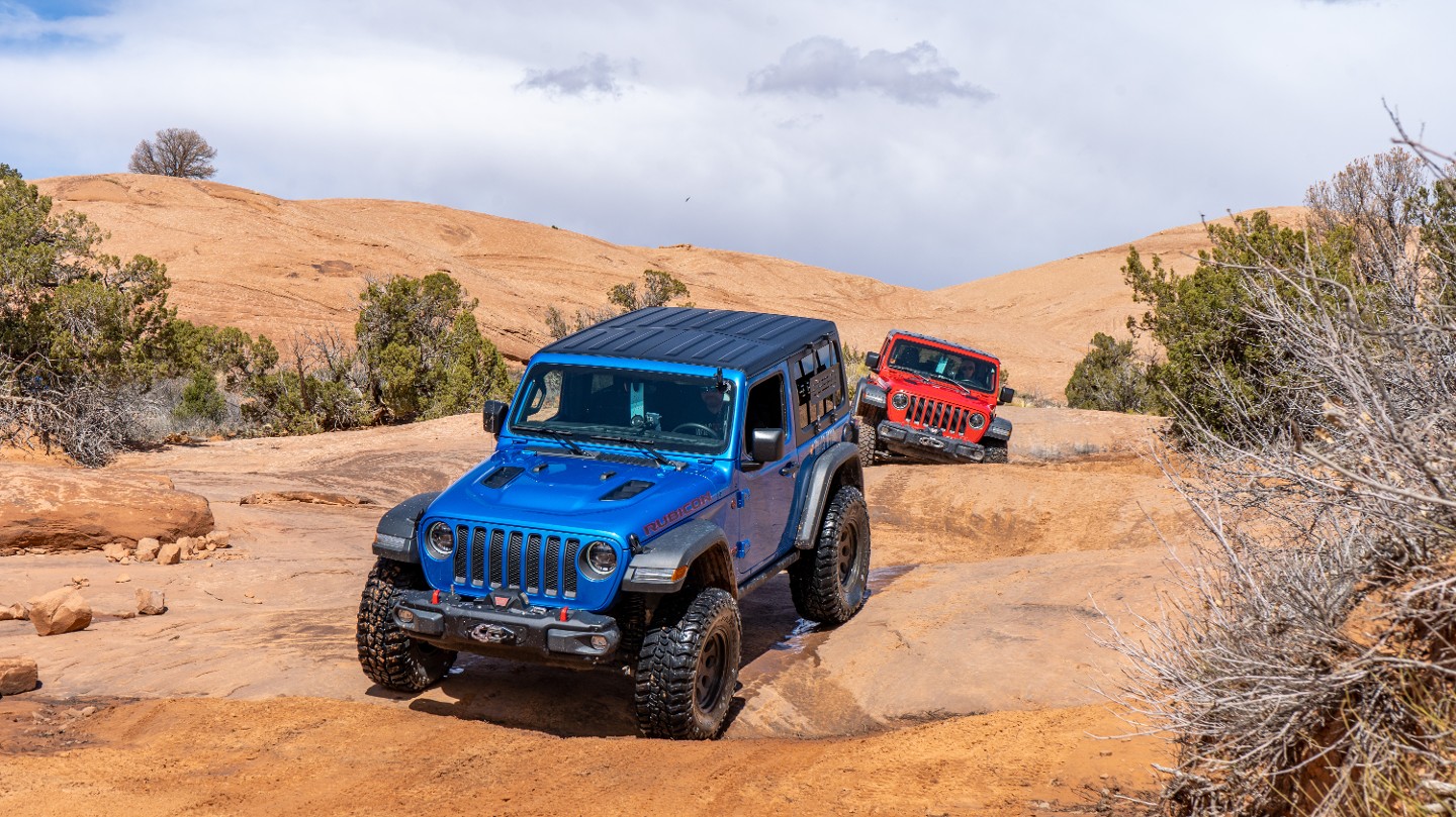
Continue past the exit of the Escalator route to the west. Escalator is an optional obstacle that begins farther down the trail.
34. The Escalator Optional Obstacle (5.6 mi)
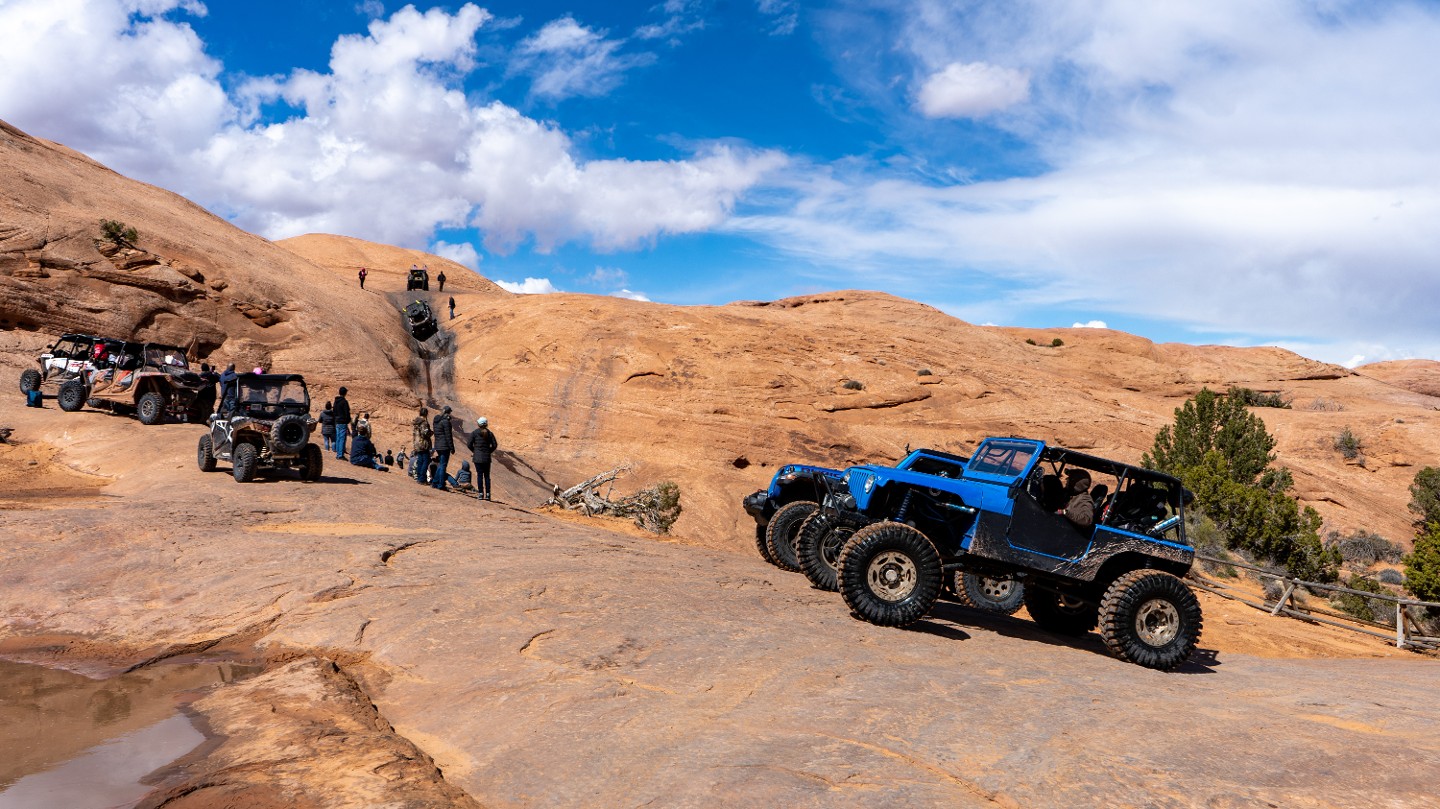
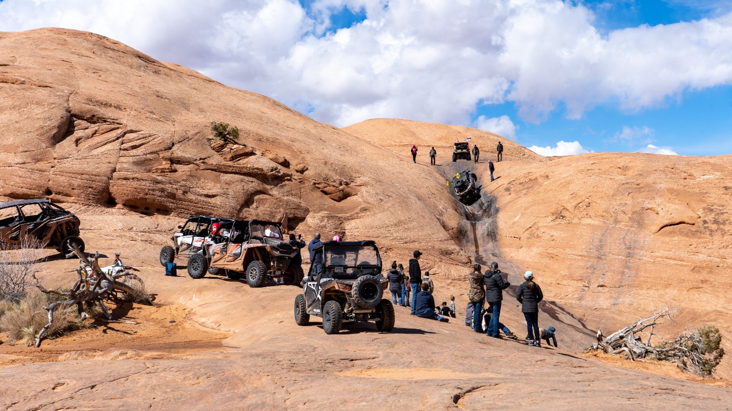
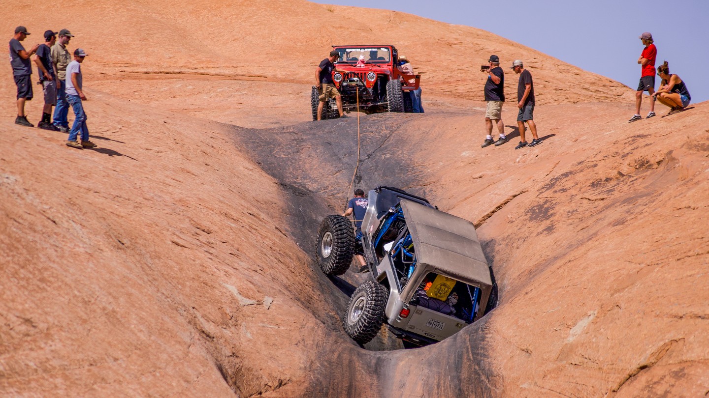
After traversing a short section of sand, you reach an area lined with wood fencing. At the end of the fencing, you pass the entrance for Escalator on the right. This is a very popular optional obstacle. Escalator is a difficult obstacle with a high risk of rollover. It is essentially a natural staircase, with each stair being a deep pothole slightly higher than the previous one. Conquering this obstacle is very technique sensitive and can easily cause vehicles to lie over onto their side. The deep, off-camber holes also have a tendency to take out rear corner lights and roofs.
35. Staircase Intersection (5.79 mi)
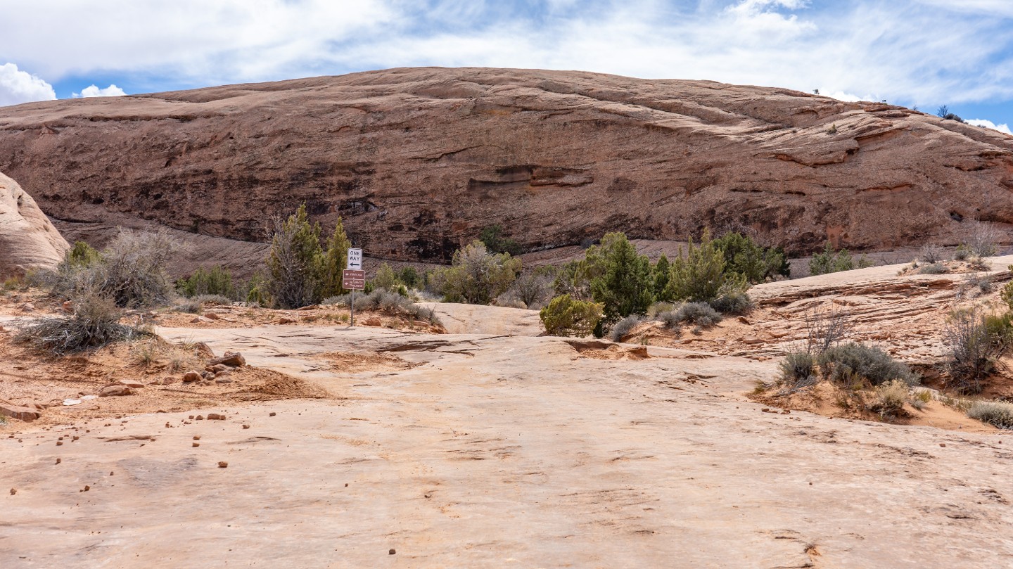
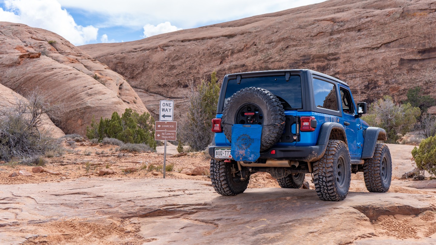
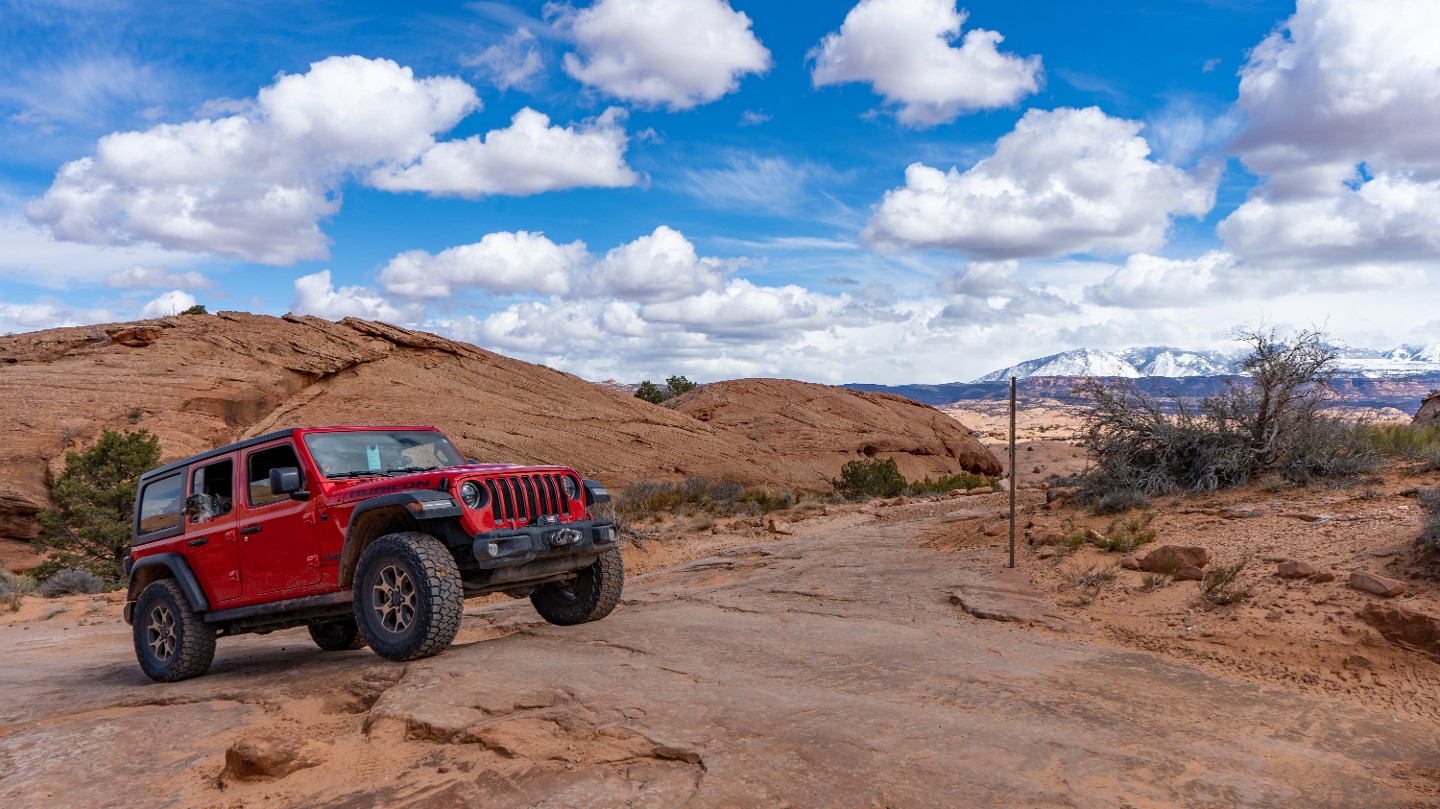
Continue southwest to reach the end of the trail. The one-way trail heading east is the Staircase which rejoins the main route back at Waypoint 13.
36. Tip-Over Challenge Optional Obstacle (5.83 mi)
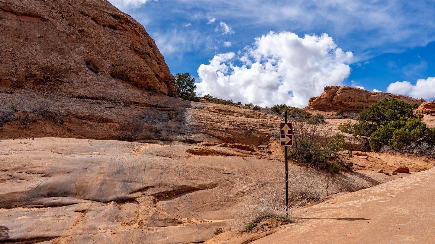
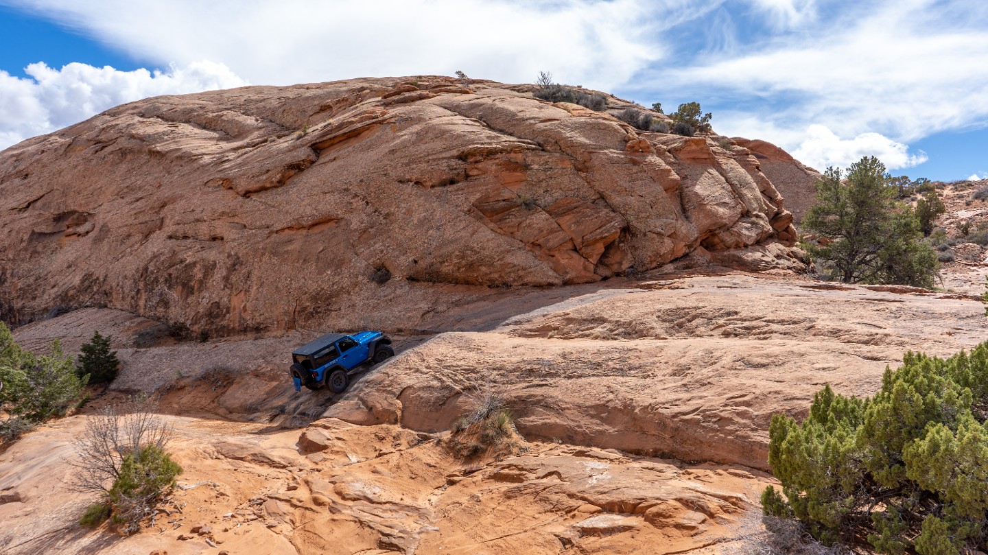
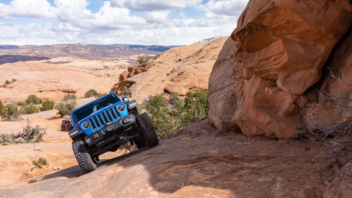
Tip-Over Challenge is an optional obstacle with a complete bypass. This multi-threat obstacle skirts around a rock face and is both steep and off-camber, with a 23-degree roll near the top. This obstacle can easily lift a tire and sometimes may slide you sideways to the point of rolling. The bypass is clearly marked at the bottom of the obstacle and will take you around to the right.
37. Unnamed Spur (6.03 mi)
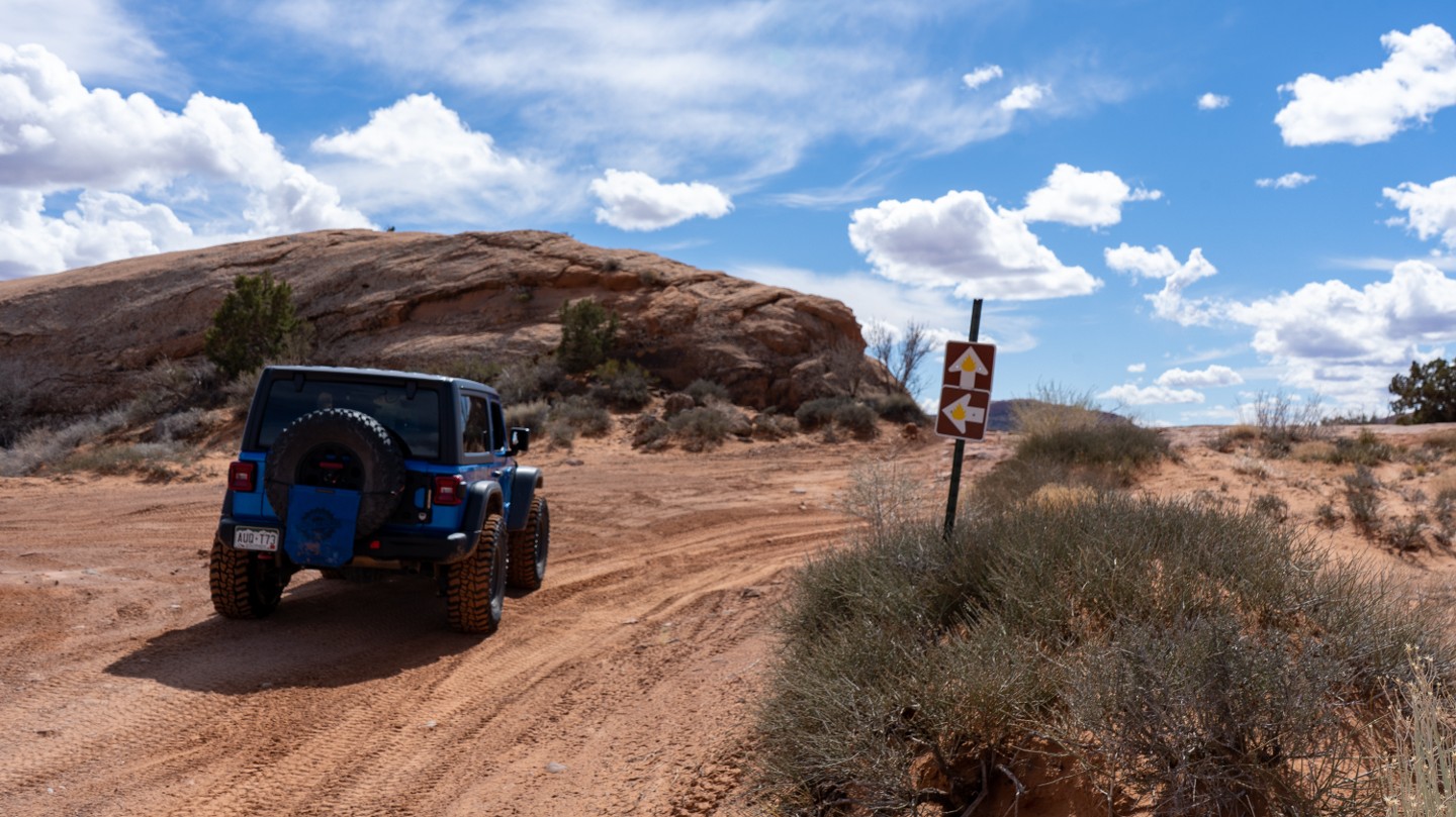
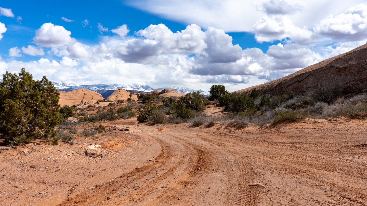
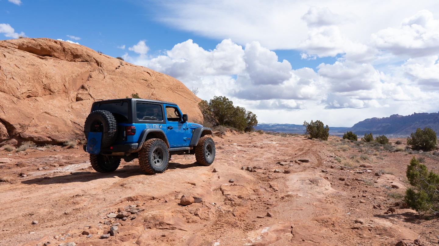
At a Y-intersection, choose left or right. Both routes reconnect 300 yards down the trail. Both routes consist of hard-packed soil with some protruding rocks.
38. Unnamed Spur (6.19 mi)
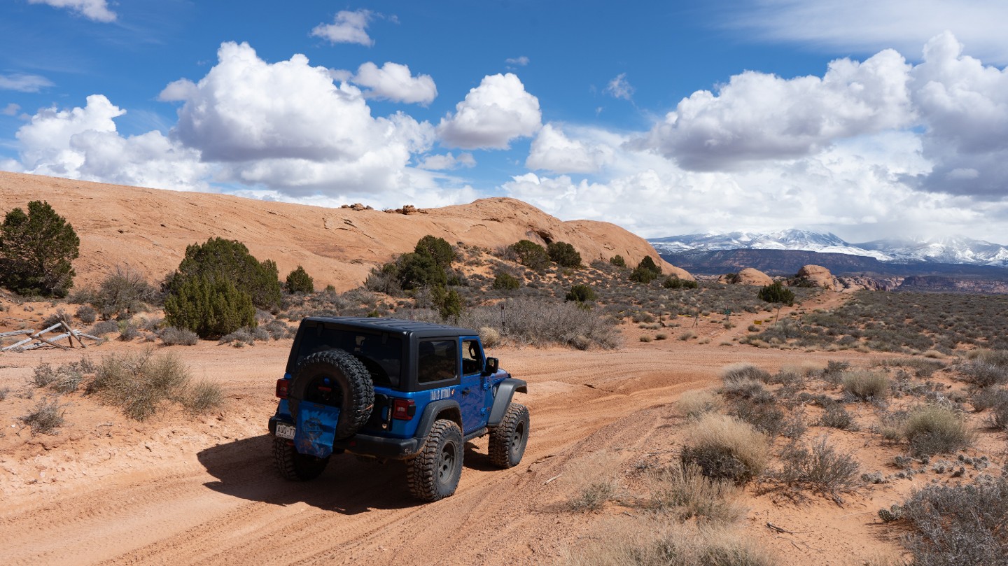
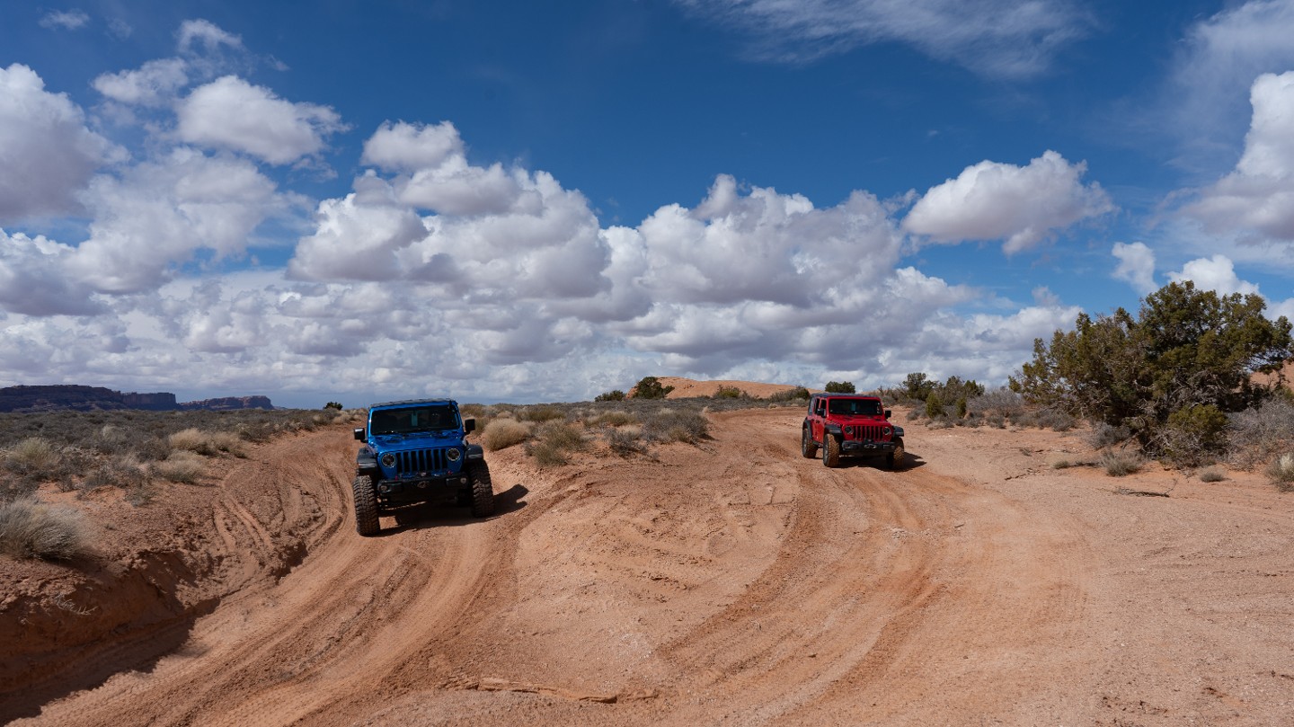
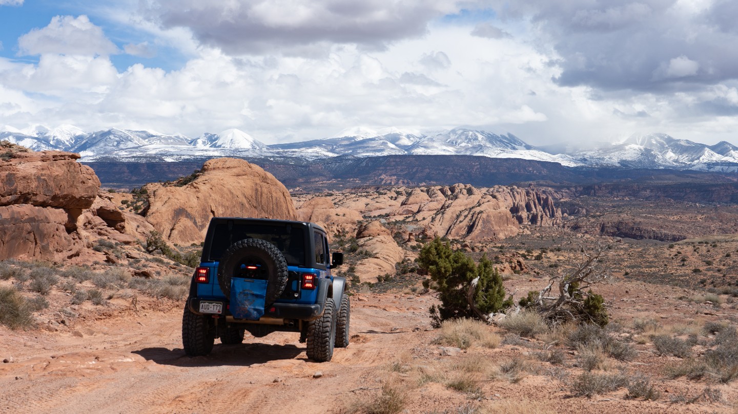
Both routes from the prior waypoint reconnect and continue toward the exit.
39. Rocky Shelf (6.41 mi)
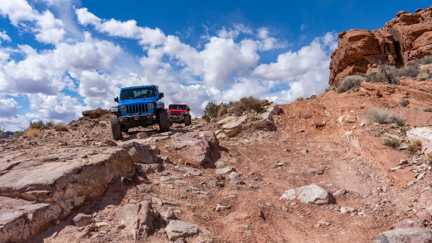
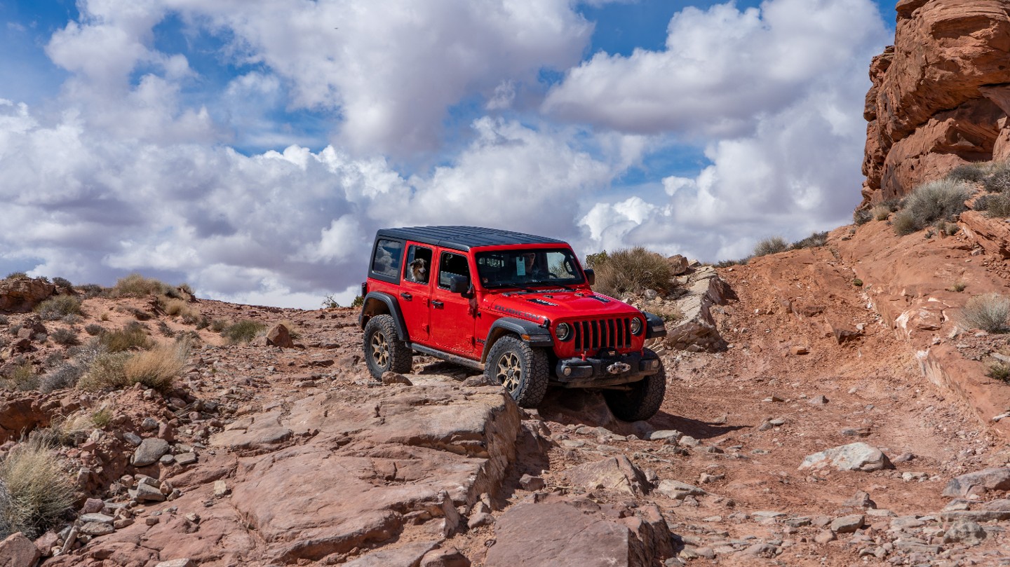
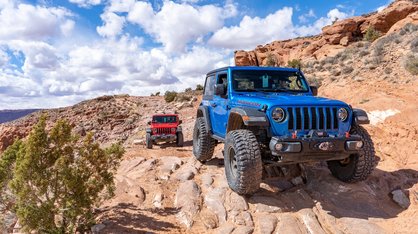
As you ride close to the cliff edge, descend a short, steep series of rocky, fractured sandstone ledges.
40. Steep Rocky Drop (6.46 mi)
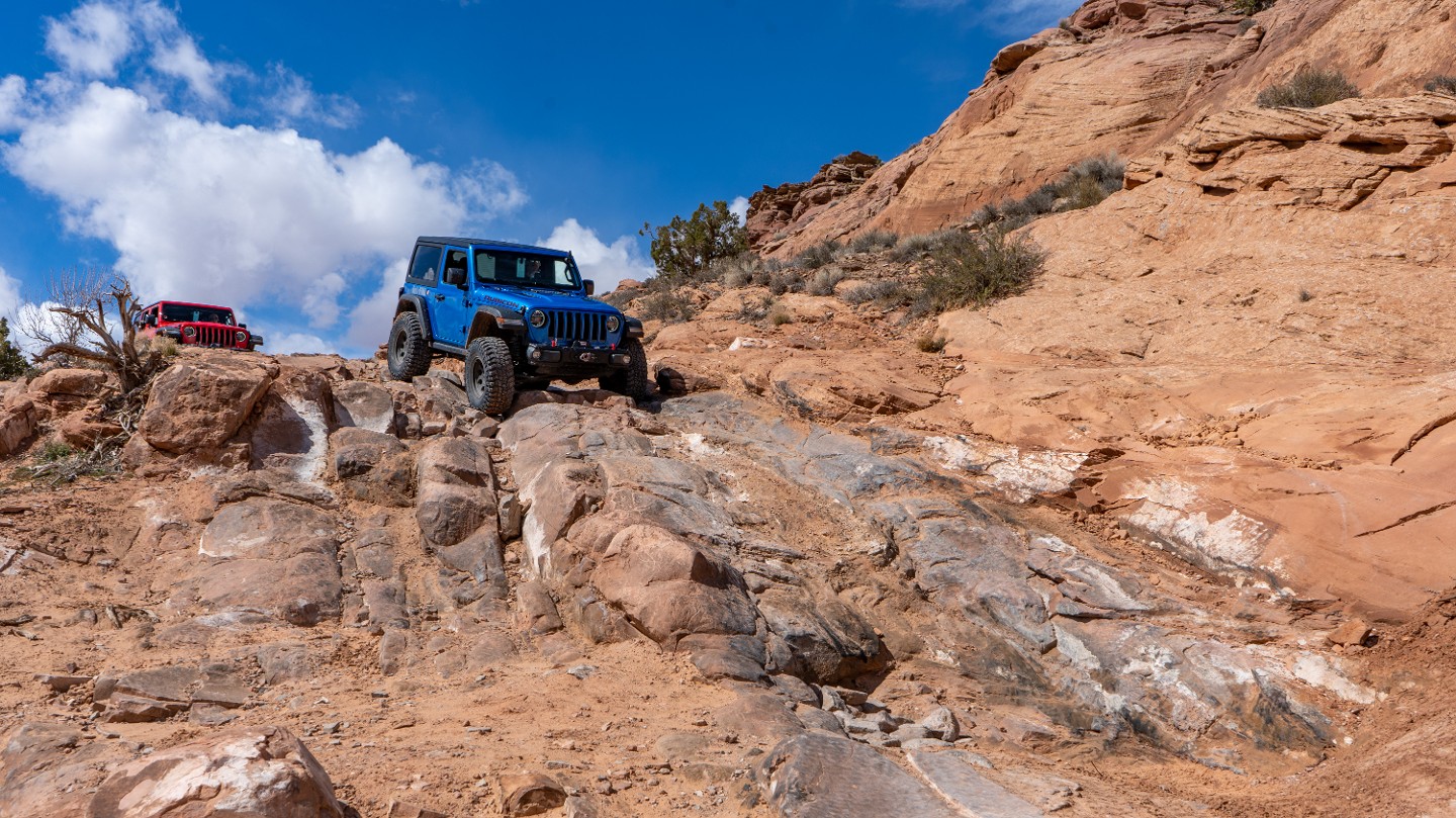
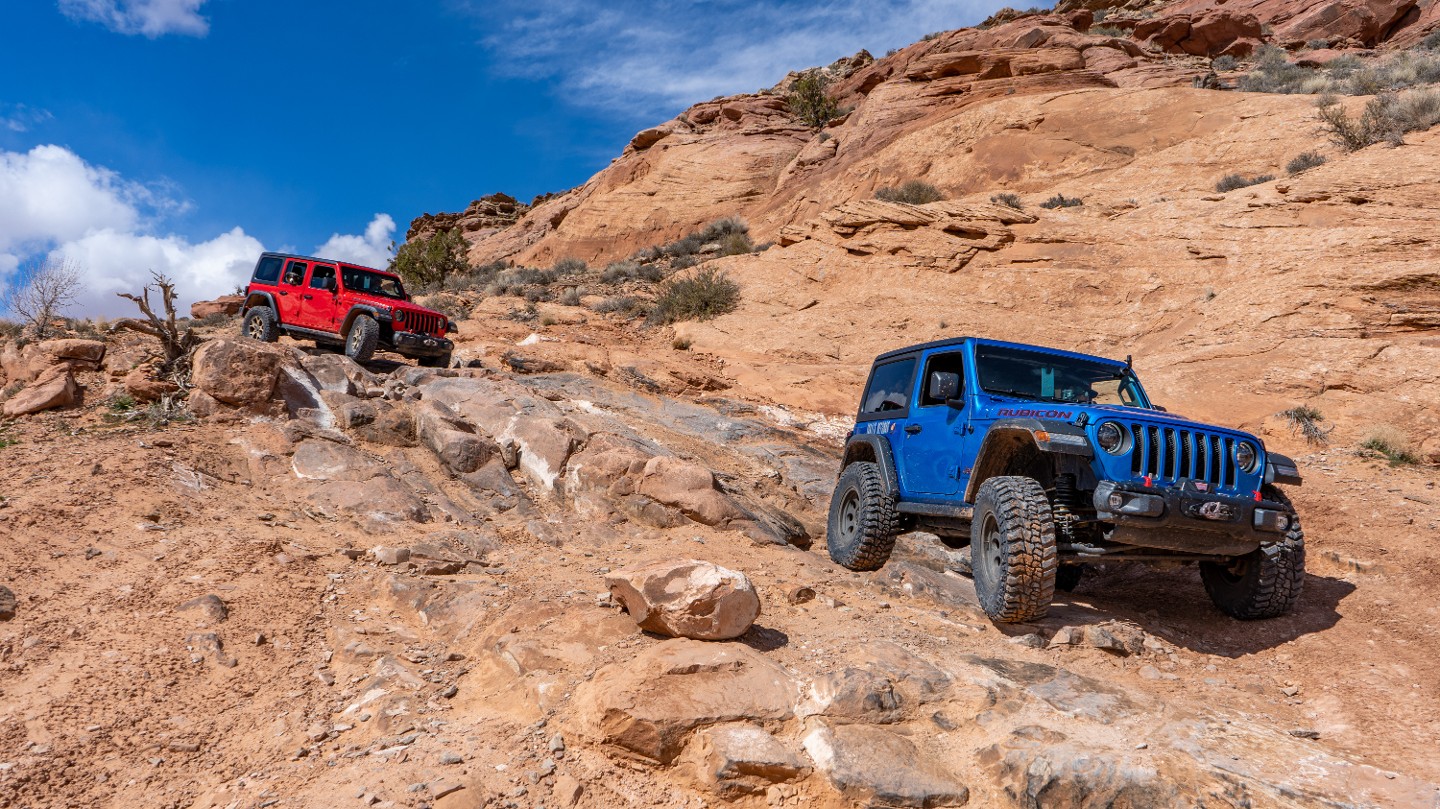
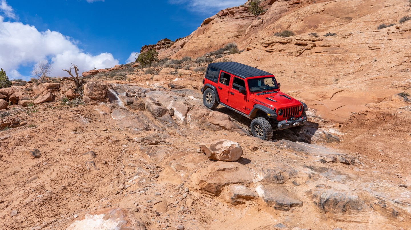
As the trail turns south, you traverse a steep, rutty drop where tire placement becomes important to avoid damaging the undercarriage. Erosion along this stretch of the trail creates deeper holes and ruts with each passing rainstorm.
41. Rutty Descent (6.6 mi)
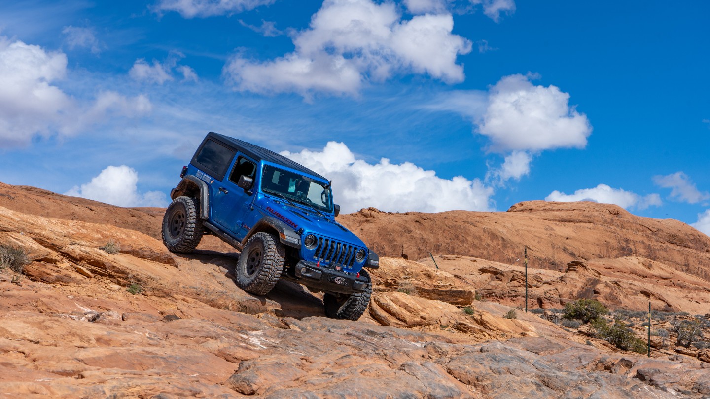
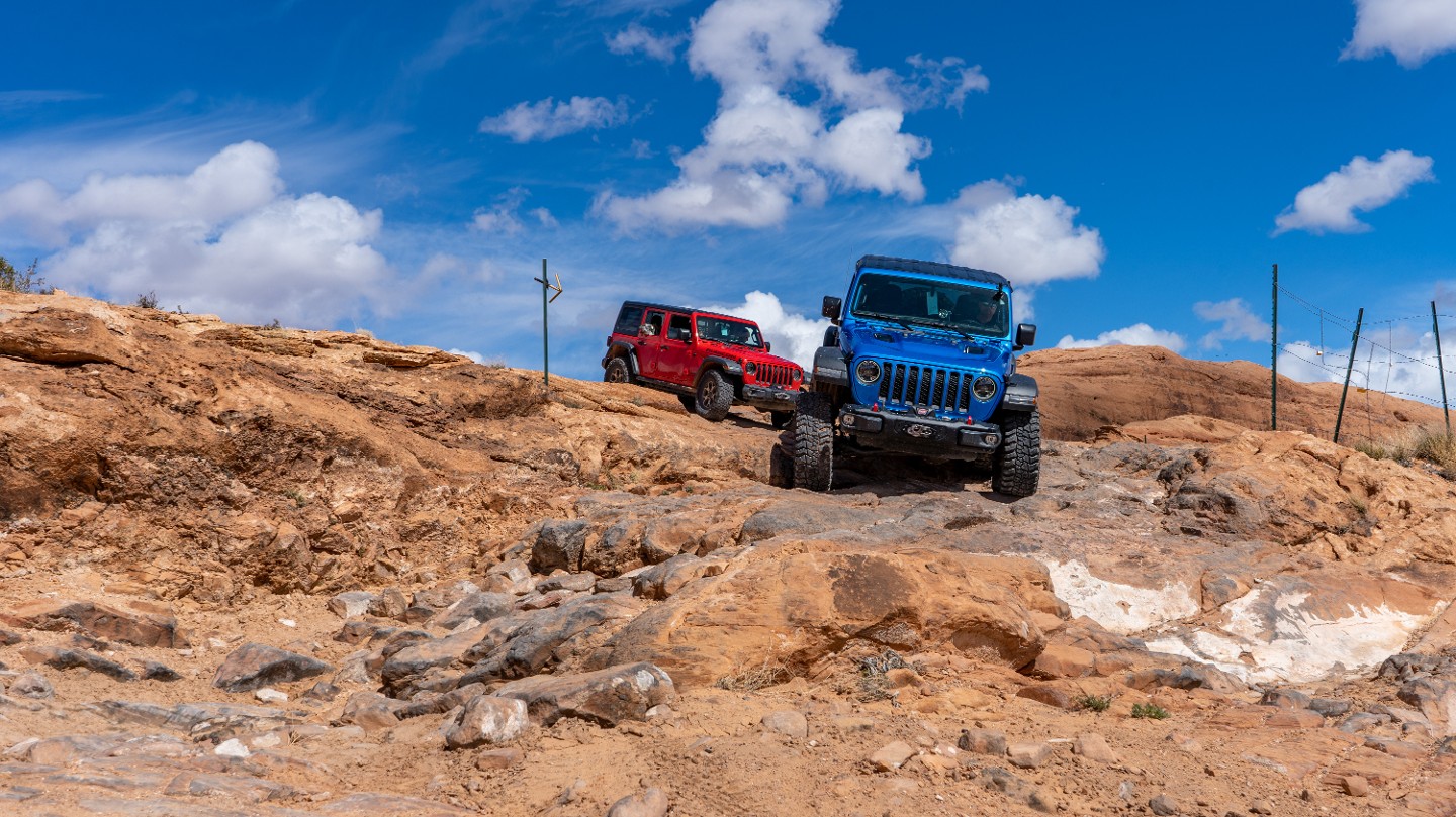
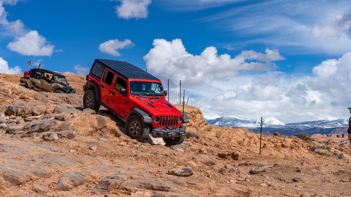
Drop down a steep, double sandstone ledge with several rocky, rutty lines.
42. Rocky Climb (6.75 mi)
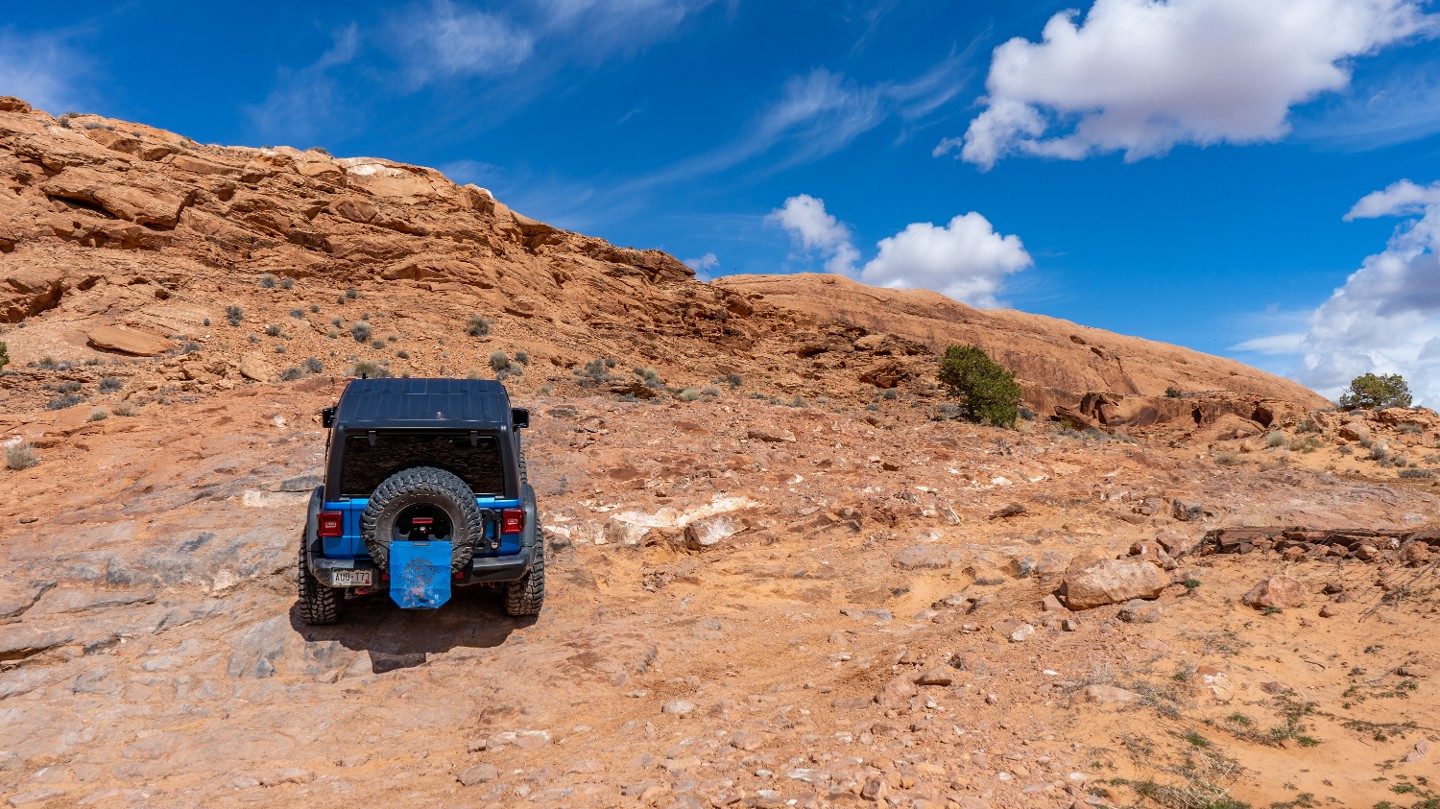
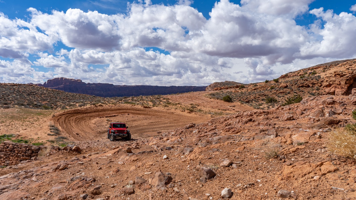
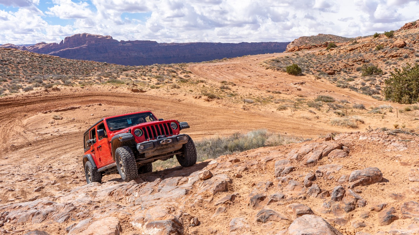
After several descents, the trail travels through a brief section of sand before climbing up a chunky rocky hill that requires momentum if the terrain is wet.
43. Lions Back Resort (7.51 mi)
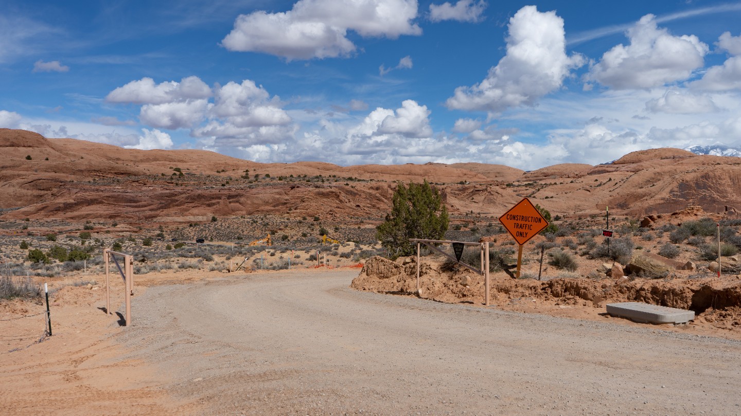
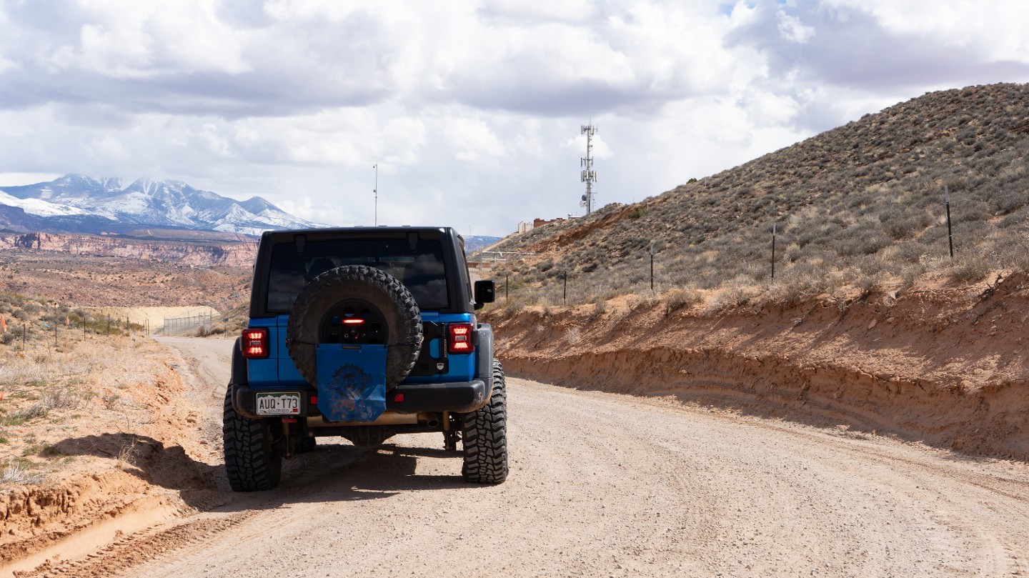
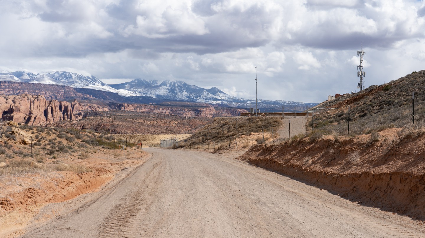
Pass the entrance to Lions Back Resort and continue on the well-maintained gravel road.
44. Trail End (7.84 mi)
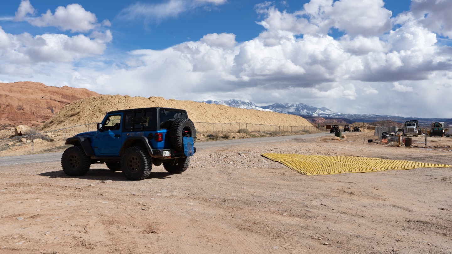
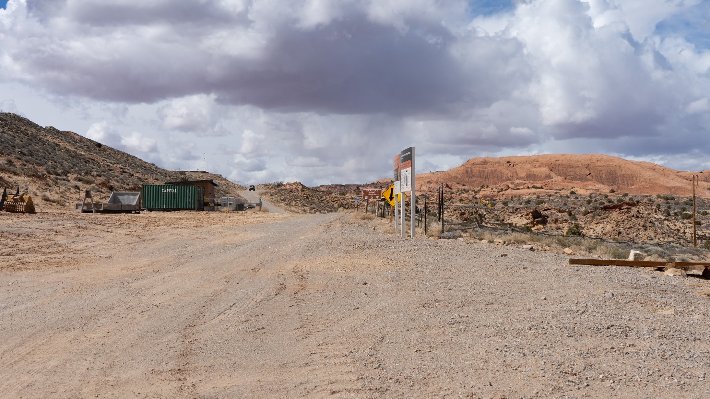
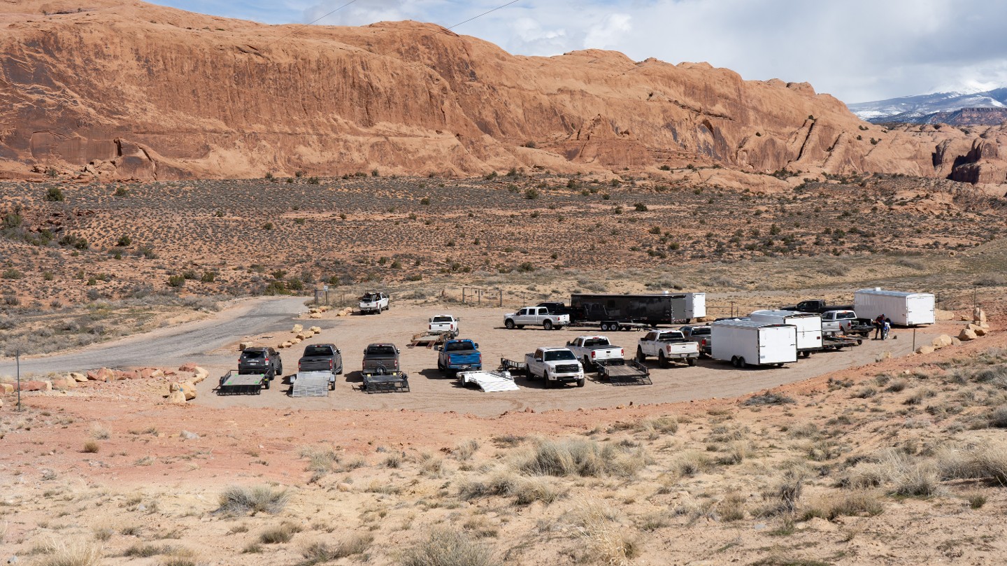
Once the site of the old staging area, Hell's Revenge ends at an intersection with the paved Sand Flats Road south of the entrance gate. A new staging area has been created on the east side of the road, about 100 yards north along Old Dump Road.
Not allowed
Camping is not allowed on this trail. However, Sand Flats Recreation Area has 120 campsites in 9 campgrounds marked with the letters (A-J) to represent the names Alcove, Bobcat, Cottontail, Datura, Echo, Fox, Globemallow, Hawk, and Juniper. The sites are offered on a first-come, first-serve basis. The campsites have picnic tables, metal fire rings, and nearby vault toilets. Unless noted, campsites are limited to 10 people and two vehicles per site, and all vehicles must park in the parking areas provided. Campers will need to bring drinking water. Checkout time is 11 a.m.
Sand Flats offers two reservable group campsites. All other camping is first-come, first-serve at $15.00 per night per vehicle, with an additional $5.00 charge for a utility trailer. (2022 fees)
Starting Point
Moab, UT
From City Market in the middle of town, head north on South Main Street (191) for 0.1 miles and turn right onto E 300 S. Continue for 0.4 miles. The road will come to a T. Turn right onto Fourth E Street. Continue 0.1 miles and turn left onto E Mill Creek Drive. Continue straight, and the road will eventually turn into Sand Flats Road as you pass by a graveyard. After 1.7 miles, you will reach the gated entrance of Sand Flats Recreation Area. Stop and pay your entrance fee. Just past the gate is a large parking lot. The trailhead is at the other end of the parking lot below the rock faces.
Trail Reviews
4.9/5 (56)
Open
Rated
5/5
Visited: 04/05/2023
Difficulty Accuracy:
Spot On
Had to do do this one while we’re at EJS! Kinda busy with the event though it was a fun challenge that lived up to its name. Definitely the slick rock steep drops and inclines we’re extremely fun and really gave you a sense of what your rig can do. Really great trail that needs to be done when in Moab!
Open
Rated
4/5
Visited: 11/03/2022
Difficulty Accuracy:
Harder
Trail rating was spot on up to the last 1.7 miles which increases this rating to a 5/6 at least. There’s a bail out option at about 2 miles out from the end, but goes against traffic and uphill, thought the main trail should be easier. Completed it all in a 2/3” lifted Tacoma with 33s.
Open
Rated
5/5
Visited: 10/06/2022
Difficulty Accuracy:
Harder
Five stars because I mean, it’s Hells Revenge. But it’s TOUGH. The 4/10 might be if you don’t loop around past WP 8/9 and just head back the way you came. After that at least 6/10 even bypassing the obstacles. Be prepared. Luckily met up with others and went together, one of whom had a lot of experience. Otherwise I probably would have turned back quickly. Glad I did it, will try it again in the future just so I feel better about it.
Open
Rated
5/5
Visited: 09/23/2022
Difficulty Accuracy:
Harder
Even with the bypasses, I still found it to be hard and not as enjoyable as Fins n' things. I guess it all comes down to vehicle, I could see how easy those with wranglers on 35s" could get up all the ledges but I did it in a stock WK2 Trailhawk taking the most mellow lines....usually. I skipped the main obstacles but did drive out to them to see them on foot. The Hell's gate/overlook had a rental side by side getting winched after tipping. The hot tubs are a lot bigger than you have seen on youtube, and WP14 (Dragon's tail) is spooky and I went right to check out the escalator after. What is glossed over in some guides is the difficulty of the exit (WP19). There are larger rocks and drop offs which are totally different from the rest of the trail (perhaps this is the revenge part). I didn't want to risk it so I turned around backtracked, and took the other route at (WP14) to head out the way I came in. In my opinion, the climbs are harder in reverse (WP5-1) and there is oncoming traffic to deal with. Am I happy that I did it? Yes. Am I going to do it again in this Jeep? Probably not!
To my grand cherokee's credit, it did everything that I asked of it, required no winching and made it back home with just a little skid plate scraping.
Open
Rated
5/5
Visited: 05/19/2022
Difficulty Accuracy:
Spot On
Ok, now that’s a fun trail. Lots of unrelating ups and downs. What do you think, can they find more decent and climbs?
Now I do have to admit my rig has a forward facing camera and the blind ups and downs with a camera seems like cheating but what a great feature to have in this trail.
Definitely returning to this loop.
Open
Rated
5/5
Visited: 04/29/2022
Difficulty Accuracy:
Spot On
We went out to closely look at the trail. There has been a lot of talk about the trail not being rated difficult but intermediate. So we went out to really take a close look at ourselves.
After some discussion, we agreed that the easiest paths on the trail are in fact intermediate trails. That the first of the difficult obstacles is completely optional. Thus we lowered the rating to a 4 to represent the easiest paths.
Now the hardest part is towards the end of the trail. Some spots will be needed for less experienced drivers, but there is a path a stock 4-door jeep can do without dragging or getting stuck. Anything with some lift, larger tires, can just drive straight down.
This trail guide's difficulty was changed on
04/11/2022
Open
Rated
5/5
Visited: 03/14/2022
Difficulty Accuracy:
Spot On
One of my top five favorite trails in Moab. Other reviews and videos are pretty much spot on with this trail. One thing I will add, at some point in the area of the Tip over Challenge obstacle there is an option in the trail to head back to the trail head and avoid the last 1.7 miles of the trial. This option brings you out right back in the parking lot in Sands Flat Rec area that you started from. If you continue on to the last portion of the trail its mostly just rocky and rough and not at all on the slick rock.
Open
Visited: 02/24/2022
Difficulty Accuracy:
Spot On
This is my absolute favorite trail in Moab! It has plenty of challenging optional obstacles yet the trail is still suitable for an aggressive stock rig. Amazing views, thrilling steep climbs. What else can you ask for? We run this trail a couple times a year at least and I never get tired of it. I agree with Marcus though, the traffic is getting worse on Hell’s Revenge but it seems like it’s that way on most other popular trails.
Open
Rated
5/5
Visited: 12/11/2021
Difficulty Accuracy:
Spot On
This was my first time on the trail. I was super happy to have my girl along to spot me it's super steep and you can't see over your hood. I decided to run hells gate and battled my way up it. This is by far the hardest obstacle I've ever run in the F-150. The views on this trail are so amazing. Videos don't do it justice it needs to be experienced. We got to meet Rory in his Trail Mater doing a recovery of a Jeep and he is a super cool guy.
Open
Rated
5/5
Visited: 11/27/2021
Difficulty Accuracy:
Spot On
I literally got my Jeep one month before I did this trail. The trail is well marked. The obstacles are challenging and steep but the rocks make it easier because your tires grip really well. The views on this trailer are spectacular you’ll never see anything like it. I can’t wait to go again
Open
Rated
5/5
Visited: 10/12/2021
Difficulty Accuracy:
Spot On
Great trail! Definitely a favorite. It's easy to follow a group up this if you like. I followed a group that had a guide with an awesome blue Jeepster. A lot of fun accents and decents. I did the overlook, Hellgate, Mickey's Hot Tub, and Tip Over Challange. I chose not to do the Escalator because I don't think I or my jeep could handle it right now. Sometimes you don't know where that line between over and confidence are. Even just after doing Hellgate, I didn't want to find out in a bad way I was overconfident. Looking forward to doing it again sometime.
Be aware of tour groups in the big vehicles that hold 6 or 8 people. They're cool vehicles and all. Very impressive. I felt like they had to make things exciting for their customers so they seemed to do their own thing regardless of what you are doing. I was going through the Hot Tub and had someone filming me and they didn't look or see the person filming and started flying up a climb right at them. I know they run that trail all the time but they seemed to not care that they were smoking their tires while driving towards someone.
Open
Rated
5/5
Visited: 09/15/2021
Difficulty Accuracy:
Spot On
Embarrassing to admit but... we tipped on the escalator! It drops about halfway up and you need to keep a hard passenger line. We were able to fix it without winching by backing up and finding a new line. We did Mickeys Hot Tub and Hells Gate as well. All are fun! If you cannot do Hells Gate, don't try the Hot Tubs, if you cannot do the Hot Tubs don't try the escalator. The end of the trail had a few shelves and rocks to keep things interesting as well. Highly recommend as a gatekeeper trail to the harder back country trails near Moab. Lot of traffic but the groups around us were respectful (minus one group of SXS rentals...)
Open
Rated
5/5
Visited: 06/14/2021
Fun trail with high climbs on the edges of slick rocks. Did the Car Was bath tub and was fun. A few in our group did Hells Gate but everyone passed on the Escalator. Over all the trail is not extremely hard but has some spots where you can’t see the trail ahead of you and just have to follow the marks on the rocks with some steep down hills
Open
Visited: 05/29/2021
A fun trail that’s quite easy if you want it to be. I was with a group and so we bypassed Hells gate and the escalator. It was Memorial Day weekend so it was pretty busy. Overall seems like a good trail for a wide range of experience levels if you want to stay right in town.
Open
Rated
4/5
Visited: 05/14/2021
Great trail! Ran it on a Friday in mid-May and it wasn't too crowded, but there were plenty of side by sides that wanted to pass us which we obliged.
I am in a 2017 Tacoma with a ~2" lift on 31s and went up Hell's Gate with just a bit of trouble at the rock step, but no scraping. Like Jon said, though, there is a descent before the crawl back out! I was alone without a spotter and made it, but it's no joke getting down, let alone back out again.
Open
Rated
5/5
Visited: 04/09/2021
Difficulty Accuracy:
Spot On
What can you say other than it’s a classic! Fun without being too much of a technical challenge - short wheelbase Jeeps make it more exciting! Ran the gate without issues and the scenery there is spectacular! Finished out in the dark and only puckered a couple times
Open
Rated
5/5
Visited: 03/14/2021
Had a lot of fun on this one. Tackled it after fins and things a baby lions back. Lots of great views and the trail was pretty clear and dry even with last nights snow and rain. Looking back I really would have cut back over to exit near the entrance. The drop down for the real exit was not as much fun. Had to have decent tire placement, stock even more so but just not that scenic or interesting for the difficulty. Would have preferred to do some of the large fins instead.
Open
Rated
5/5
Visited: 03/11/2021
Way cool. The 2007 JKU on 35's sitting under 2 1/2" lift did very well. I did not try Hell's Gate or the Hot Tubs, but if I ever go back in a group maybe the peer pressure and assurance of some recovery assistance would give me the currage. The jeep did great on all the other obsticles, a few chirps on some of the harder ones and a back up with a little momentum over one rock wall and that was the extent of the dificulty. Now I'm glad I have the big break kit, because the back side of this trail is rocky with some drop off's that I really needed to ease down. I saw a couple guys in front hit hard on few that made me pucker. But the old JKU did just fine, nice and easy, I did use the rock rails once and the back smittybuilt bumber with the tire carrier did scrape on 2 decents. I'd say I had to concetrate alot more in this last section than any other part of the trail.
Open
Rated
2/5
Visited: 03/06/2021
What an overblown trail. I did this one because it was THE Hell's Revenge, and... as far as its quality as just a trail, it's pretty bad: It's crowded, very few technical obstacles, narrow with high rollover risk, and two way on top of being insanely crowded. Most of the trail, you'll be driving along the top of the sandstone "fins" there with 50 ~100ft drop off either side, and blind corners the whole time. You won't see many pictures of the precarious fins and corners because it's legitimately dangerous to be out there on foot. Most modern SUVs would be able to get through the main trail with no modifications of any kind, definitely not a 6-8 difficulty. If you're looking for a more technical challenge without the heights, Fins 'n' Things is fantastic.
ALL of the obstacles have extreme heights. The tubs are on top of a fin, and are off the side. If you shot out of a tub on a bad line, you'll be taking the express route down.
One thing nobody mentions about Hell's Gate: YOU HAVE TO GO DOWN A NOTCH JUST AS STEEP BEFORE YOU GO UP.
Open
Rated
5/5
Visited: 09/25/2020
Ran this in my Xterra with 2" lift and stock size Toyo Open Country A/T2. Had a great time and was constantly amazed at the ability of my X. Several jeep guys commented on it. Didn't do the hard obstacles. Still this is the most fun I have ever had 4 wheeling. I agree with several of the reviews that the last mile was really rocky and tough. Made it out with no damage. Great day!
Open
Rated
5/5
Visited: 09/17/2020
Awesome trail and a must-do in Moab. By far one of the busiest trails we've run, but it was really fun to watch others do the obstacles we weren't able to try with overland gear on top of our JKU Rubicon. We even got to winch a SxS out of one of the "hot tubs." This trail is unlike any we've ever attempted, and we will definitely be back (without our tent) to try Hell's Gate! Overall, a very fun and slightly anxiety-inducing day ;)
Open
Rated
5/5
Visited: 09/14/2020
Great day on the trail. We ran Hells as the final day in Moab during the 2020 Unlimited LJ Adventure. Plenty of traffic still for it being a monday. It was a little warm, but still a great day. I woukd agree with some previous comments that the section coming out of the trail is getting a bit beat up. Also, note that the parking lot at the very end is currently very limited because it is being used for construction, so there is not as much open trailer parking as there once was.
Open
Rated
5/5
Visited: 06/14/2020
Incredible trail, with incredible views. My buddy and I did it in our Xterra Pro-4Xs, his bone stock and mine lightly built. First time for both of us. It took us four hours with all the scouting and picture taking we did, but amazing fun. Scary if you don't like heights!
Open
Rated
5/5
Visited: 06/09/2020
Amazing trail and no wonder why it’s so popular. The tourists and amount of people on the trail even on a Tuesday evening takes away from the experience. However it’s just that good of a trail that I have to give it 5 stars. I took my Powerwagon and conquered some fears that day! We came out in the dark and the last couple miles of ledges in the dark were scary but fun. Definitely one to do!
Open
Rated
5/5
Visited: 06/01/2020
Difficulty Accuracy:
Spot On
The iconic entrance sure didn’t disappoint! Hells is a very intimidating trail, though actually not too difficult; so long as you skip the major obstacles. But there are a few parts that made us nervous; like the blind corner around Waypoints 3 and 4, the Black Hole at Waypoint 10, and the Dragon’s Tail at Waypoint 14.
We opted to skip the gate and escalator this time, maybe trying them over EJS when we had a spotter with us. I considered the Tip Over Challenge, but was talked out of it. The most challenging section to us was at the end, past Waypoint 18. It was a completely different trail, being rough and rocky. I think we’ll opt out of this section next time, and exit early. Despite that, this is a fantastic, and iconic trail that is a must do, if you’re up for it.
Open
Rated
5/5
Visited: 05/29/2020
After passing by that morning heading to Fins and Things we decided to give Hell's Revenge a go that afternoon and what a great experience. No issues any where on the trail but we avoided the difficult obstacles. The first hill climb at the trail head look crazy but once on it, it was nothing. One of my favorite trails so far in Moab.
Open
Rated
5/5
Visited: 05/07/2020
Ah yes the infamous hell's revenge, This was a great trail to push the capabilities of my Xterra, however when we got to car wash (Point 11) we attempted a optional line going directly up the side of the hill. With my tire off the ground it gained too much momentum and when it came back down it snapped the u joint and the drive shaft, the driveshaft slung around and hit the transmission cracking the case. But through this I realized something great, everyone was out for the same reason and we had large amounts of people offering to help in any way they could. I couldn't have chosen a better place to break my first part. I can confirm for you that from point 11 on wards it is a little challenging but a 2wd vehicle can do it, other than the last little bit of the trail which turns rocky and a little sketchy in some areas, this trail was a blast, with great views and constant challenges it is so far one of my favorites.
Open
Visited: 10/25/2019
One last run out to the desert before the snow. Went through snow on the way over and back but nice out there!
Hell's Revenge was great as always. Saw a group of Range Rovers each with their own hired spotters dressed in matching polo shirts. Well, that's one way to do it.
Anyway, all went well and a great day out on the rocks chirping a few tires here and there.
A great day and I love my new swaybar link extenders. I didn't know how much travel I was missing out on!
Open
Rated
5/5
Visited: 02/17/2019
Hell's Revenge is the definition of off-roading in Moab! It is a must do trail if you are in the area. I was in a group of 4 rigs, (TJ, XJ, S10 and a Ramcharger all 35's+) and we walked the trail. The difficulty makes it attractive to such a wide audience and it is very close to town which is an added bonus. We encountered a crazy snow storm as we started hell's gate but luckily it didn't last long, Made for some great photos. Overall it was a fantastic day!
Open
Rated
5/5
Visited: 11/17/2018
I did it on my Stock 2005 Land Cruiser, fun but wife was driving me crazy, she was scared.
Overall is not difficult just need to go slow and steady, I have 32" tire no lift I did it with no damage at all thanks to the back hitch.
Subscribe to my channel. Check my videos.
Open
Visited: 09/08/2018
Hell's Revenge is AMAZING. Tackled this in my 17 Taco with a 2" lift and 33s. Myself and my friend ran the entire trail with the exception of Hell's Gate, The Escalator and the Tip Over Challenge. I got in and out of the Car Wash Hot Tub on my second attempt after not gassing it enough the first try getting out. Awesome trail, I will definitely run it again!
Open
Rated
5/5
Visited: 03/31/2018
Hells Revenge is one of my favorite trails. For being the biggest day of Easter Jeep Safari it was surprisingly quiet on the trail. We took our time and took in the sights as well as the dinosaur tracks at the overlook. One thing I wanted to see is the newly created exit by the main entrance. They paved the first section from the parking lot to the fin, and closed off the steeper optional section to the left as you approach the fin. Which is unfortunate as it was a fun little warmup. The original path of the fin is now one way. They do have clear marked signage on both ends to show this. They did some blasting on the rock to create the new route beside the original. This is to help with the follow of traffic. A few buggies attempted the Hot Tubs without success. Same ones all went through Hells Gate and the Escalator. We did come across a pretty large jam on one of the bigger obstacles near the end of the old exit due to a Jeep rolling onto its roof. But it was quickly recovered. Overall it was a great day.
Open
Rated
5/5
Visited: 03/10/2018
Took this one after getting talked into it by a friend at camp. Trail is definitely not for the faint-hearted but it wasn't that hard to get through there with my rig. This was my first time in Moab and one of the first trails I did there and I'm glad I did. It's a great intro into the area.
While at the overlook, we rolled up to see a chopper there. Someone who was walking up there had fallen and broken their leg. SAR was contacted and flew him to a nearby hospital. These guys were true professionals and everyone on the ground was highly respectful of the situation. It was good to see the community come together to help someone.
There is one small change to the trail as written. The parking lot entrance now has two points of access for the trail, one entrance and one exit. This is not a major change to the trail, but it simply means that the climb up the beginning of the trail is now one way (up). Shortly after the top, about .25 miles in, there is a trail on the left and that is the new exit lane if coming out of Hell's Revenge here for some reason. We will have teams there for EJS and should have the waypoints updated with that information soon.
Open
Rated
5/5
Visited: 06/04/2016
To finish up our trip to Moab during Rock Therapy 2016, we decided to take it easy on our last day there. We got a casual start to the day getting there around 10am. The parking lot was already full of fellow Toyota's, some Jeeps and a handful of UTV trailers. The trail was pretty populated with bikers on the Slickrock Trail as well. They were entertained by everybody climbing up all the obstacles. This was the first time I've run the trail with all the new signage too. It's a great addition. Very clear directions and maps posted in various parts along the trail so it's nearly impossible to get lost now. We stopped and watched a few in our group make it up Hells Gate successfully. Continued on and a few tried the hot tubs. We didn't stick around up there too long because boy it was a hot one that day. We dropped down a bit lower off the rocks and ate lunch at the Escalator. A couple trucks nailed the line going up and did so without damage. Even eating in the shade of our trucks it was still super hot so we didn't stay long there either. Tip Over Challenge didn't claim any vehicles while we were there. The trail looked good and provided a fun time as always! We stopped for some well deserved milkshakes and walked downtown afterwards.
Open
Rated
5/5
Visited: 05/22/2016
This was my second time visiting Moab - what a magical place it is! The first time was 2 years ago and I rented a 2 door Jeep Rubicon on 33" tires and ran most of Poison Spider without any issues. For this past trip, I was able to run Fins & Things, Steel Bender and Hells Revenge with my buddy who has a 2006 Land Rover LR3 all done up. Saturday we ran Steel Bender but I was surprised not to see that many other vehicles on the trail, however on Sunday we ran Hells Revenge and encounter many more enthusiast on the trail all having a great time. I skipped some of the major obstacles like Hells Gate & Escalator but did most of the other obstacles without any damage. Knowing that I had to drive my Jeep home 650 miles back to CA made me play it safe rather than be sorry.
Open
Visited: 03/20/2016
The ledge to be climbed for WP3 is probably the most dangerous part of the trail as it has no bypass and you will likely slide on your skid plates even with a lift and large tires. Pick a decent line and stick with it.
For the fourth of July, the trail's end is closed and the parking area at the end unavailable (depending on timing vs fireworks display) for a few days leading up to the 4th. The trailers launching the fireworks are placed in the parking area and the trigger wires running from the control panel to the trailers snake across the parking lot.
From the Community
Be the first to ask a question!
Josh Noesser
Mapping Crew - California
Joshua Noesser grew up in Southern California but has lived in different parts of the country during his young adult life. Josh was first turned to four wheeling when he road with one of his friends dad up Surprise Canyon in the Panamint Valley at age14. After nearly 3 different roll overs later and a half dozen intense waterfalls, Josh was hooked. At 16 he purchased his first Jeep a CJ 7 and by 17 was putting his first locker in it.
Currently, Josh is the owner and CEO of Nybble, an IT Solutions Company based in Orange County, California. Nybble isn't your normal IT company where everyone stays in and plays video games. Nybble's average company trip is out on the trails since a good amount of his staff enjoy wheeling too. As Josh likes to say, he offers the only IT Company with the ability to provide services in extreme locations. "If you want a server at the top of The Hammers, we will take care of that for you."
Today you can find Josh out on the trail behind the wheel in one of his three different off-road vehicles. See the vehicles below for more information.
If you ever run into Josh, please say high, he is a very friendly person and is always happy to have a new person join the group.
Visit Profile
Start a free trial and get this level of detail on every trail
guide
Start Free Trial
Print Trail Guide
Purchase
Company
Community
Recent Updates
By clicking "ACCEPT", you agree to be the terms and conditions of each policy linked to above. You also agree to the storing of cookies on your device to facilitate the operation and functionality of our site, enhance and customize your user experience, and to analyze how our site is used.

