Please wait - Uploading to Gaia GPS
Recent snow and rain have caused many trails to be temporarily closed. Please check with the local agencies for the most up-to-date information.
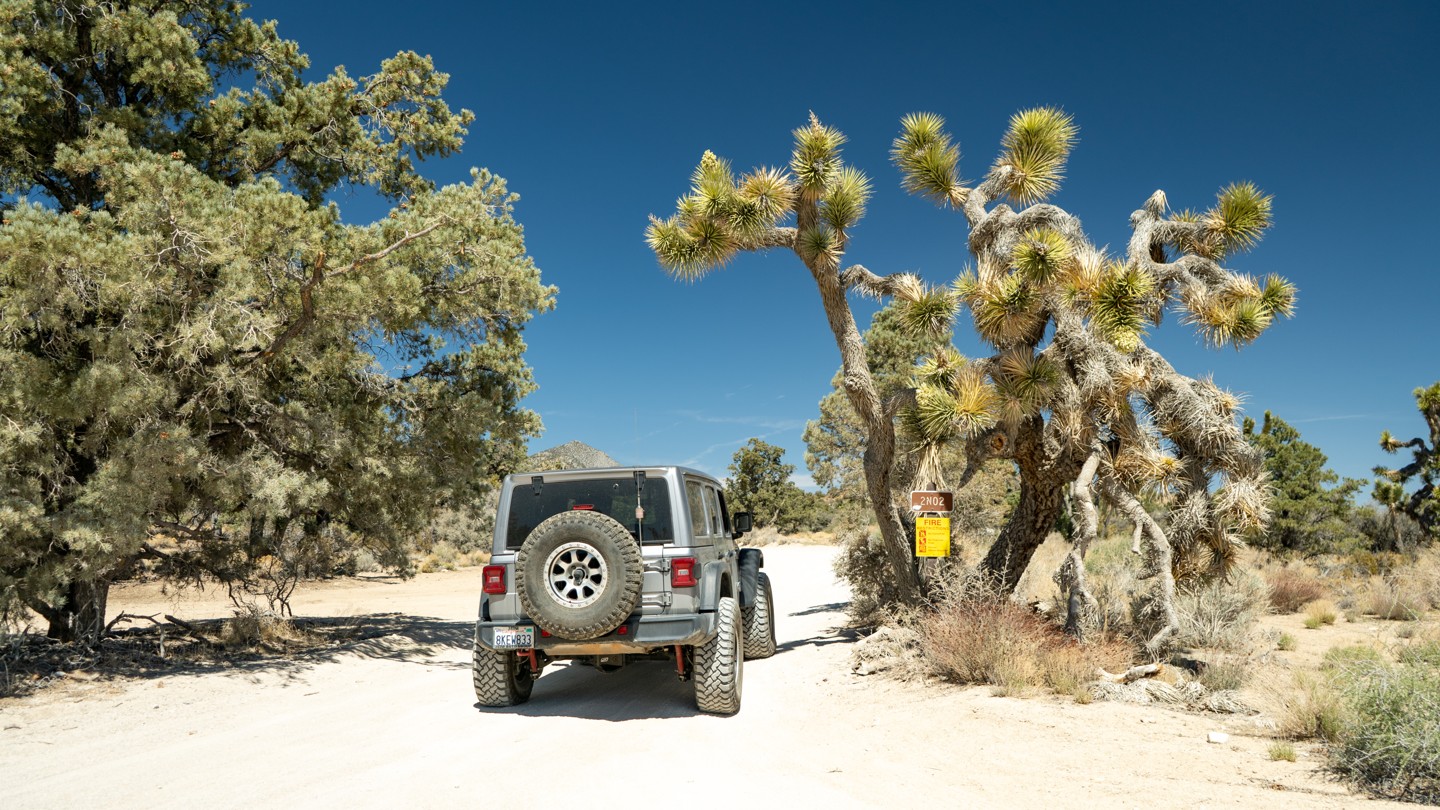
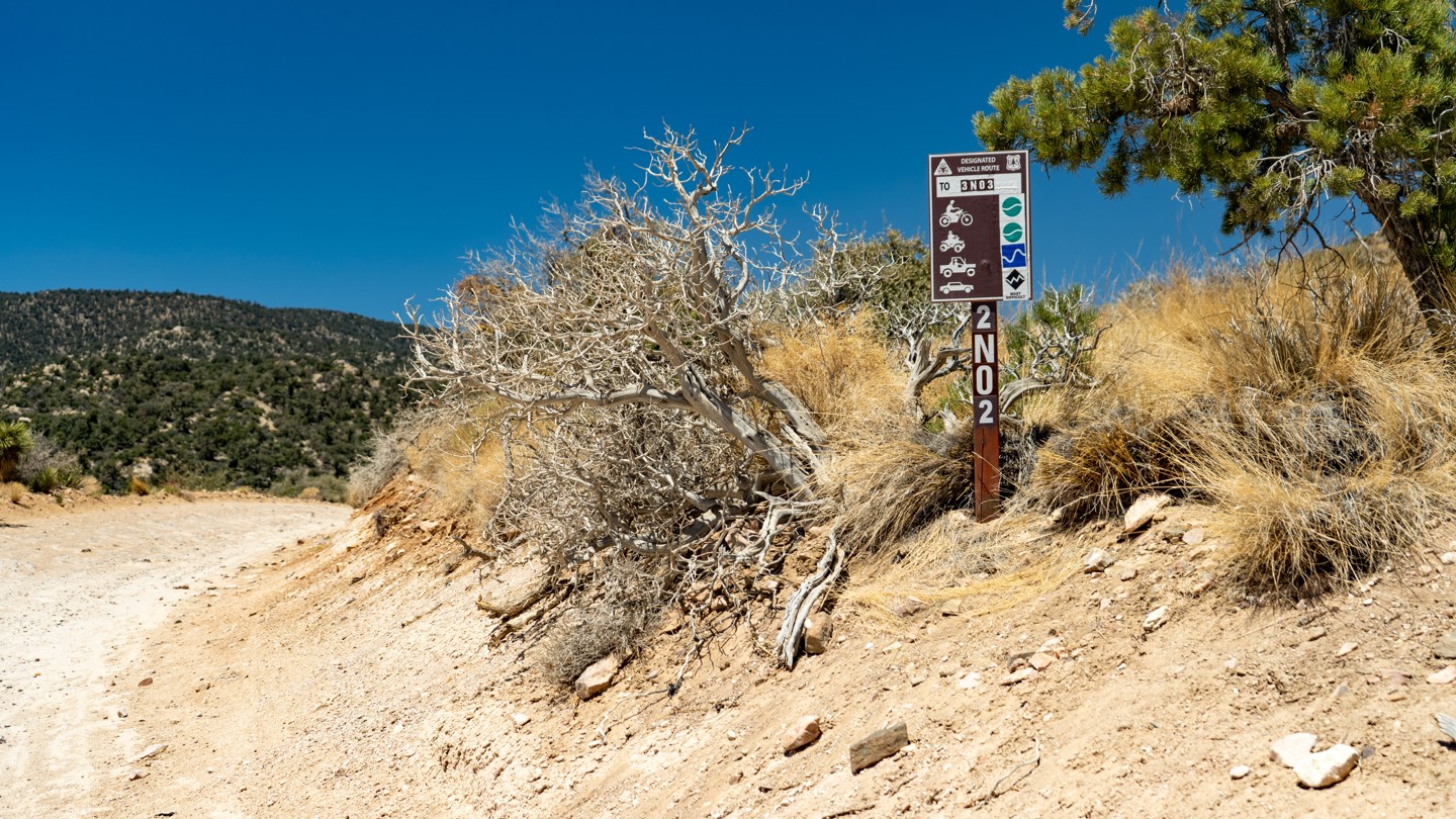
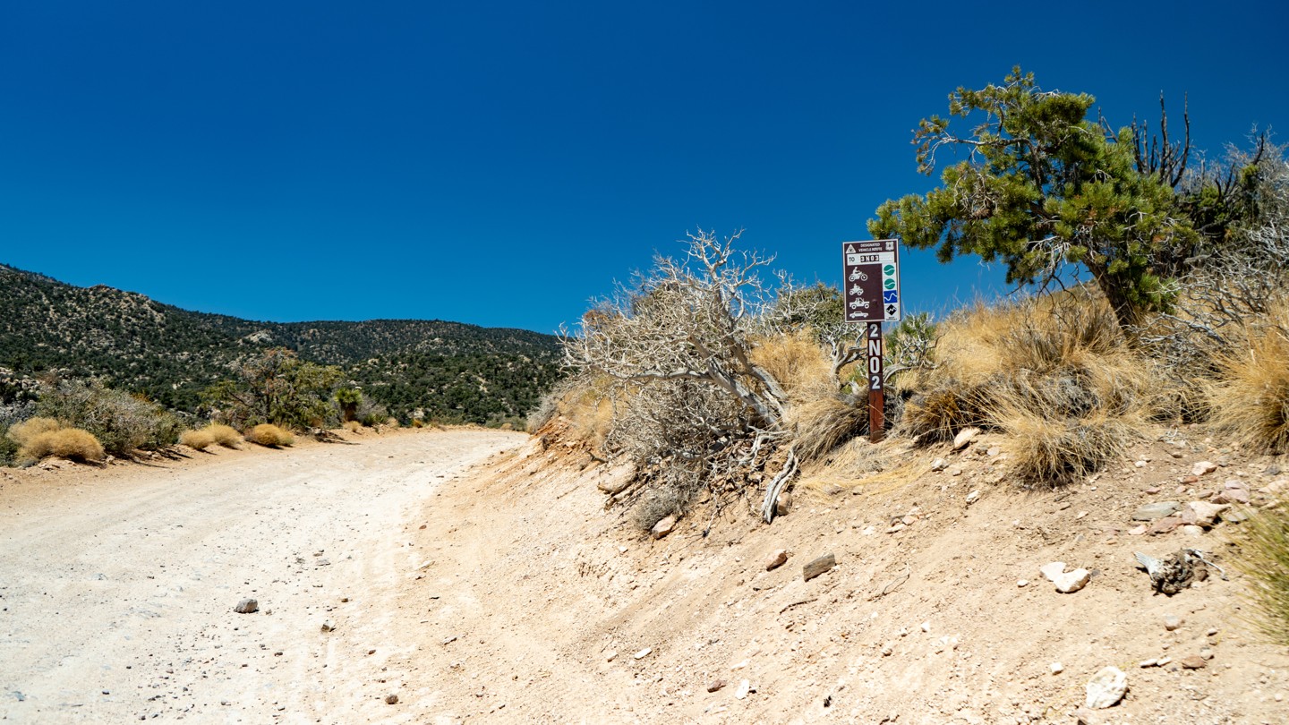
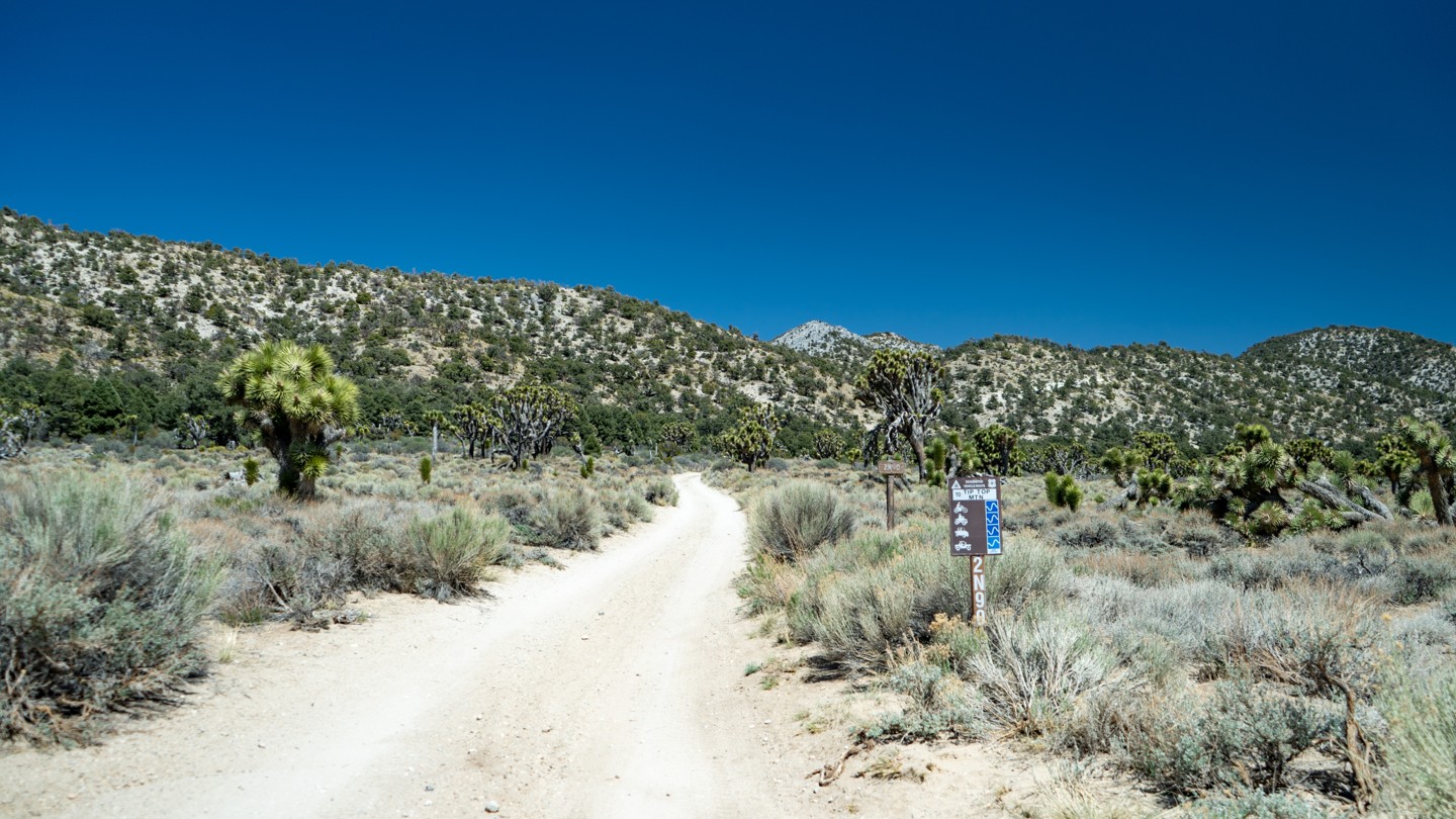
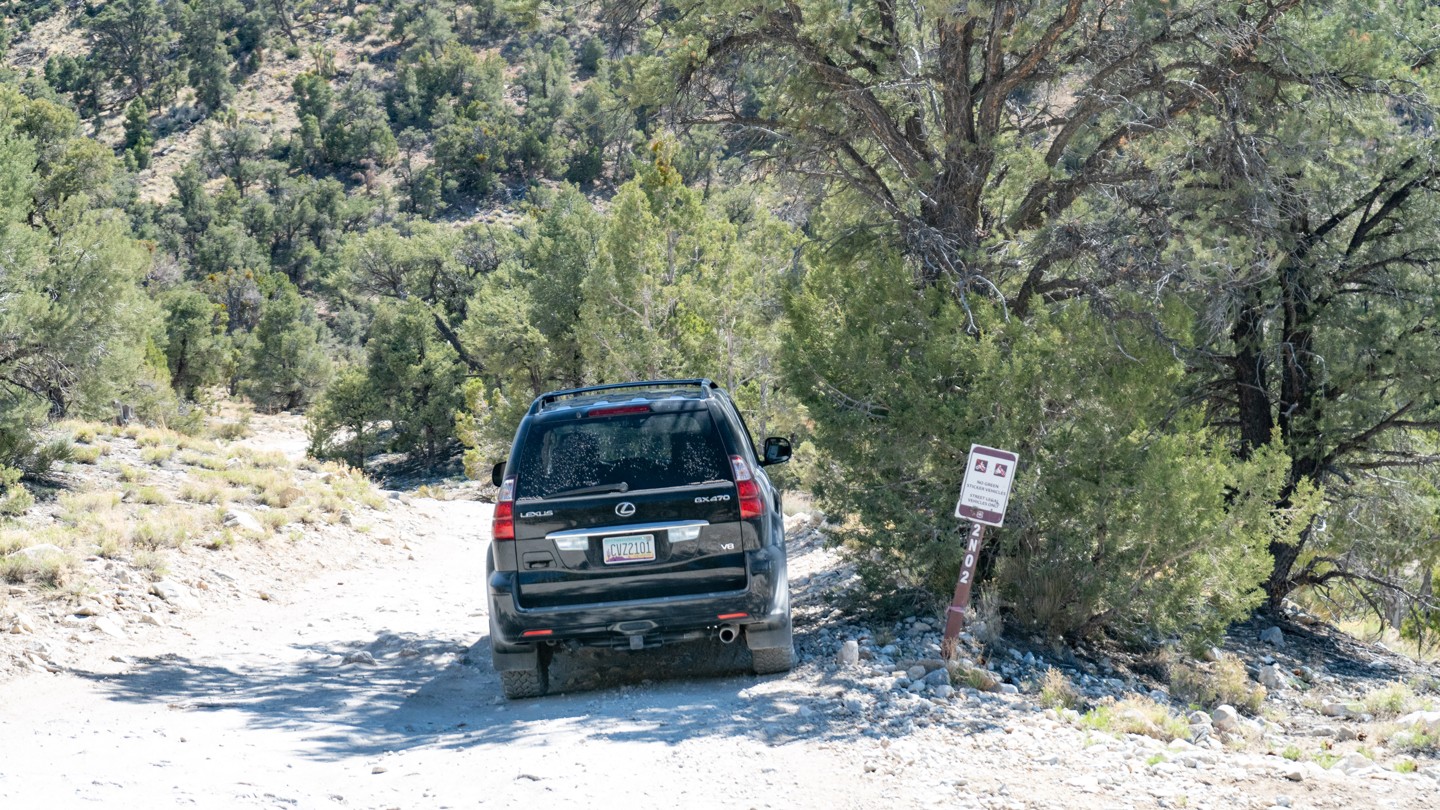
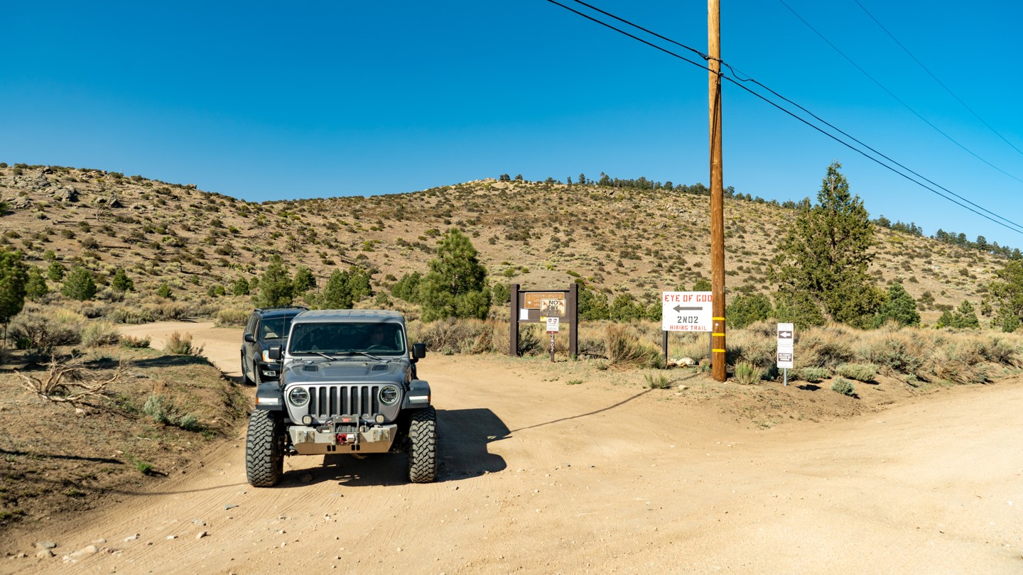
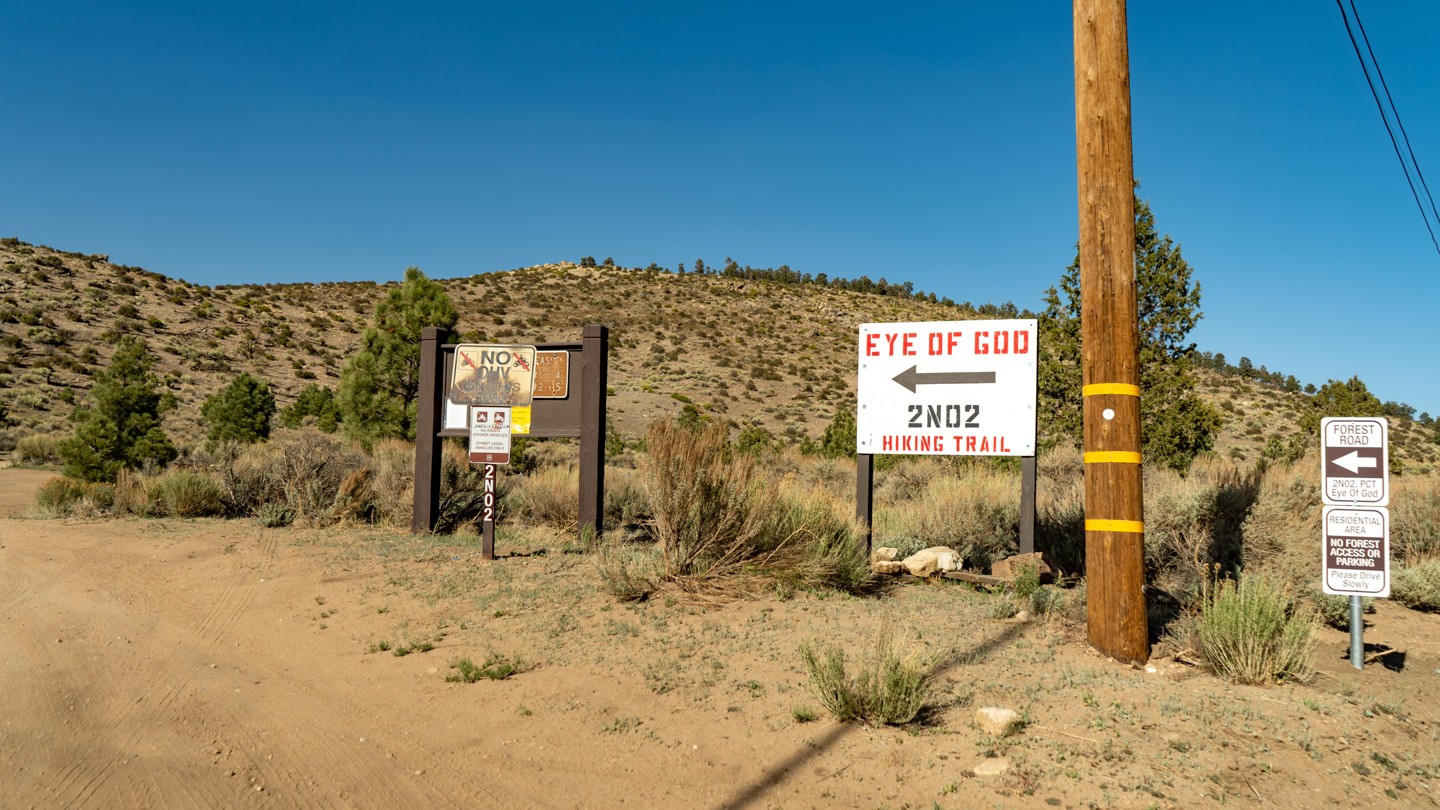
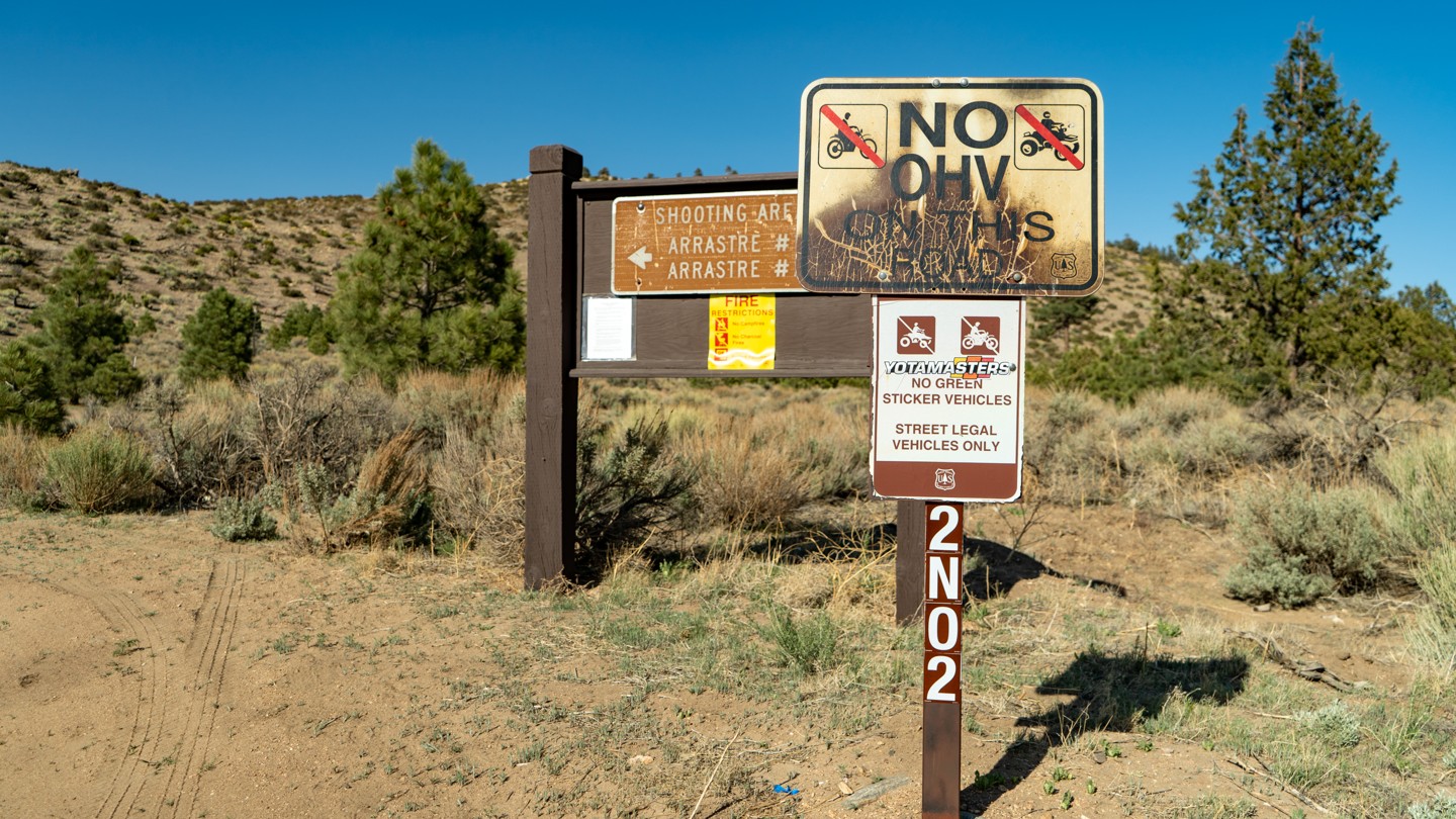
2N02 - Burns Canyon

Trail Information
Difficulty - Mandatory
2 -
EASY
Difficulty - Optional
2 -
EASY
Status
Temporary Closure
Distance
19.06 mi
Duration (one-way)
About 3 hours
Highest Elevation
7127 ft
Shape of Trail
Straight Through
Typically Open
Year Round
Best Direction
West
Official Road Name
2N02
Nearest Town
Yucca Valley
Nearest Services
Big Bear City
Management Agency
San Bernardino National Forest
District
Mountaintop Ranger District
Highlights
 Altitude
 Camping
 Forest
 Iconic
 Mine
Mine Overland
 Scenic
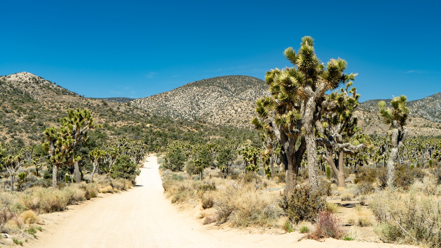
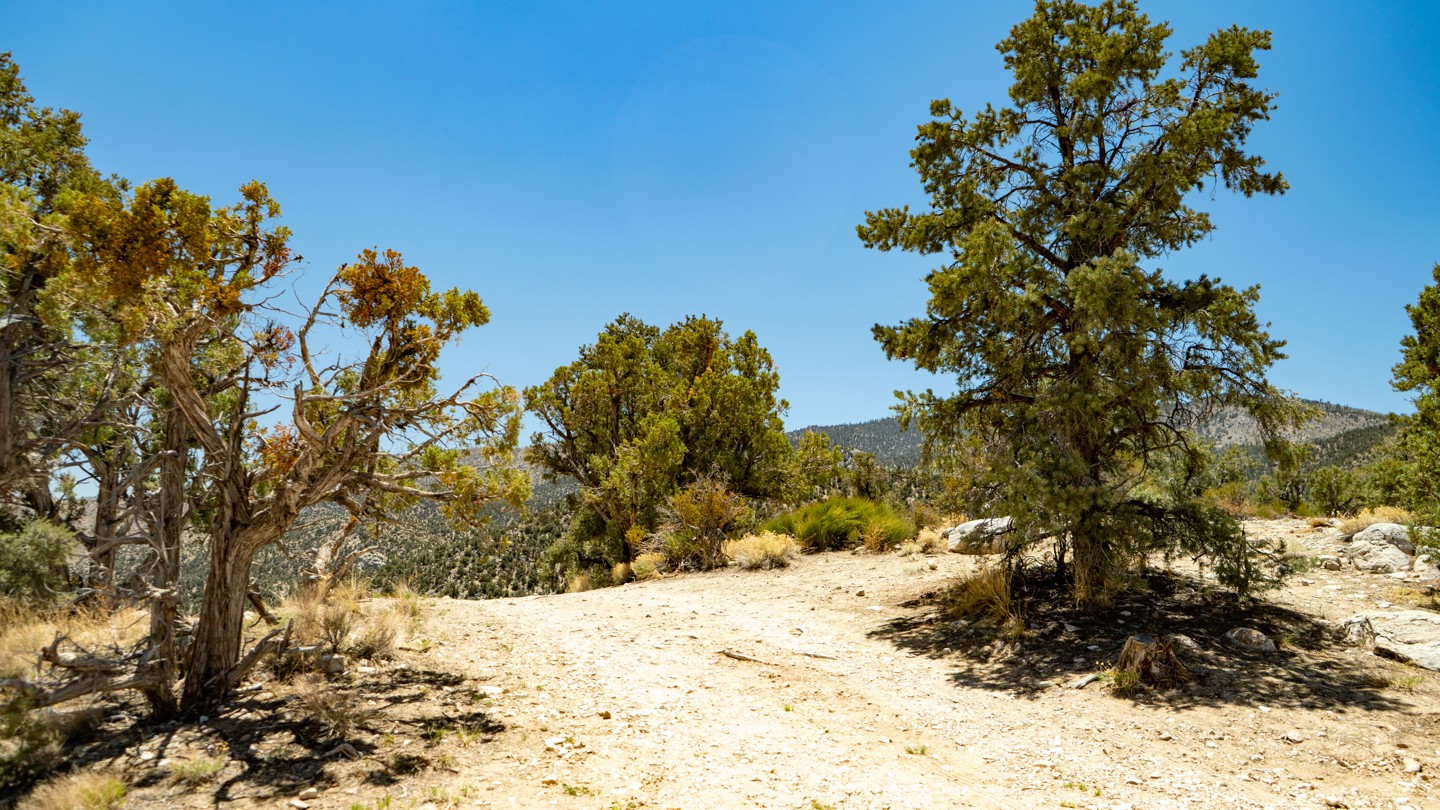
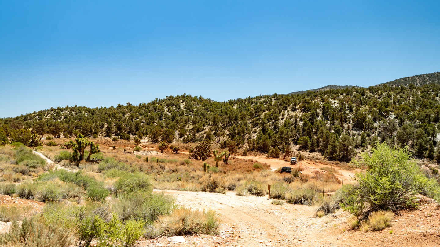
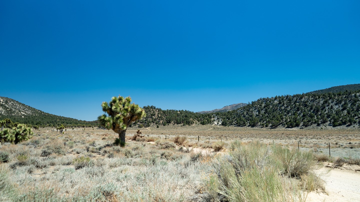
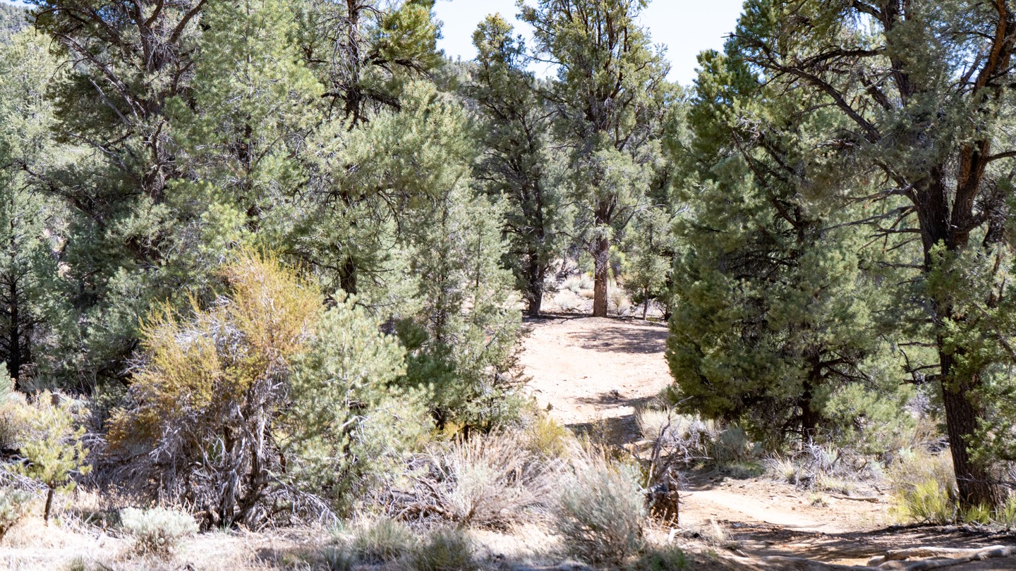
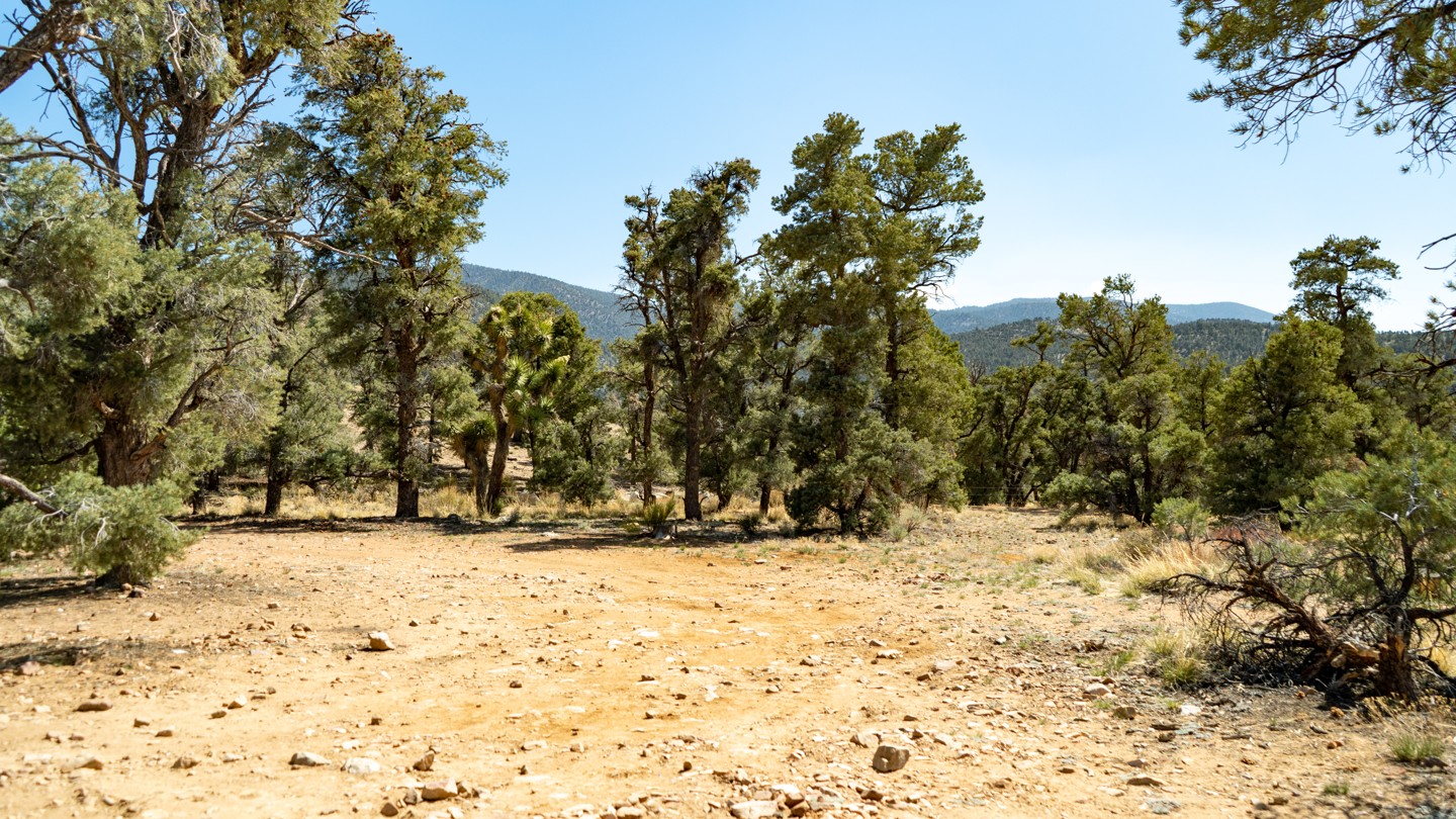
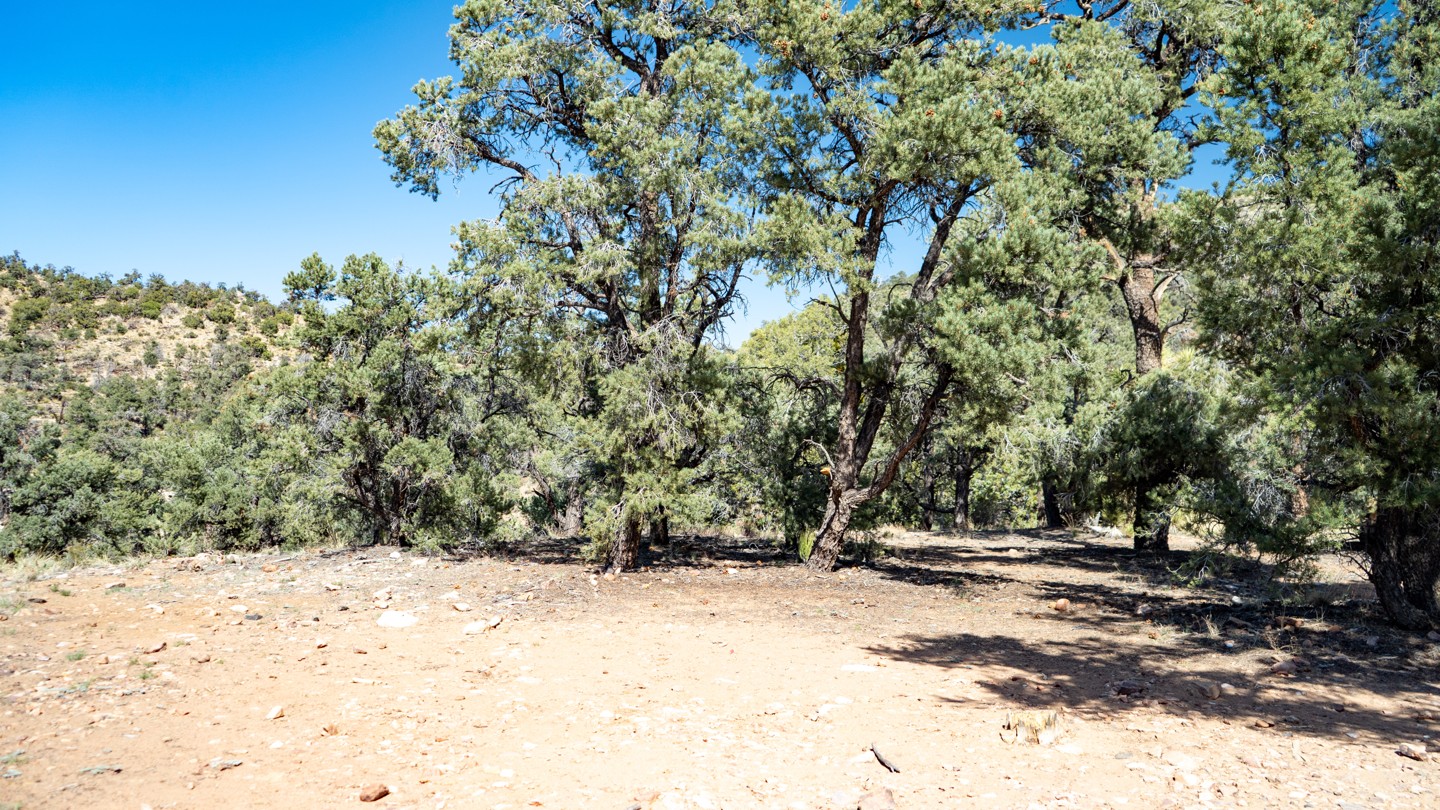
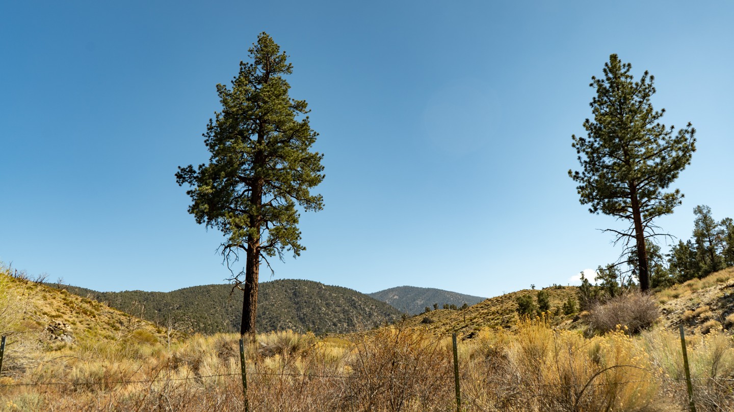
From the high desert floor flush with Joshua trees, Yucca, and crisp blue skies to the green forest of Big Bear, Burns Canyon, also known as Arrastre Creek, is an odyssey waiting for you in Southern California. Rich with history, particularly if you start at the south end and take in Pioneertown, travel through the famous Rose Mine, and find the rare Redwood trees, this trail makes for a great gateway for an epic overland trip close to home. This is the perfect get-away for a day or days when combined with the other amazing trails this area has to offer.
Trail Difficulty and Assessment
Recommended Vehicle:
2WD Vehicle with High Clearance
Concerns:
Summary:
In dry conditions, this is a simple dirt road with a few rough patches.
Community Consensus
1 votes
17 votes
10 votes
Easier
Spot On
Harder
The weighted average of your fellow members agreement of our trail rating. As trail conditions change this helps us keep the community aware of changes.
Mandatory
2 -
EASY
The hardest part of the trail that you
cannot bypass - you have to drive it.
Optional
2 -
EASY
The hardest part of the trail that is
purely optional - you can bypass it.
Dirt and/or rocky road. Potential rocks and/or tree stumps less than 8" tall and/or vertical ledges less than 9" tall and/or near vertical ledges or waterfalls less than 12" inches. Good tire placement likely. Can be steep but with good traction. Read More about our Rating System
Start your next adventure on 2N02 - Burns Canyon

Upgrade your Membership
Unlock all of the details on every Trail Guide and Scout Route.
Start a 7-day Free TrialUploading to Gaia GPS
Share Trail
Trail Navigation
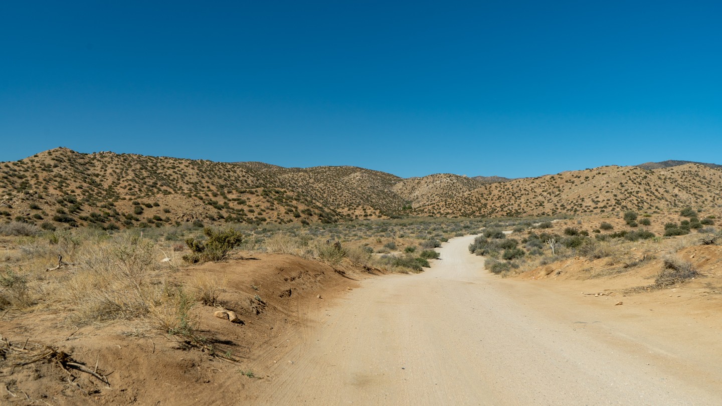
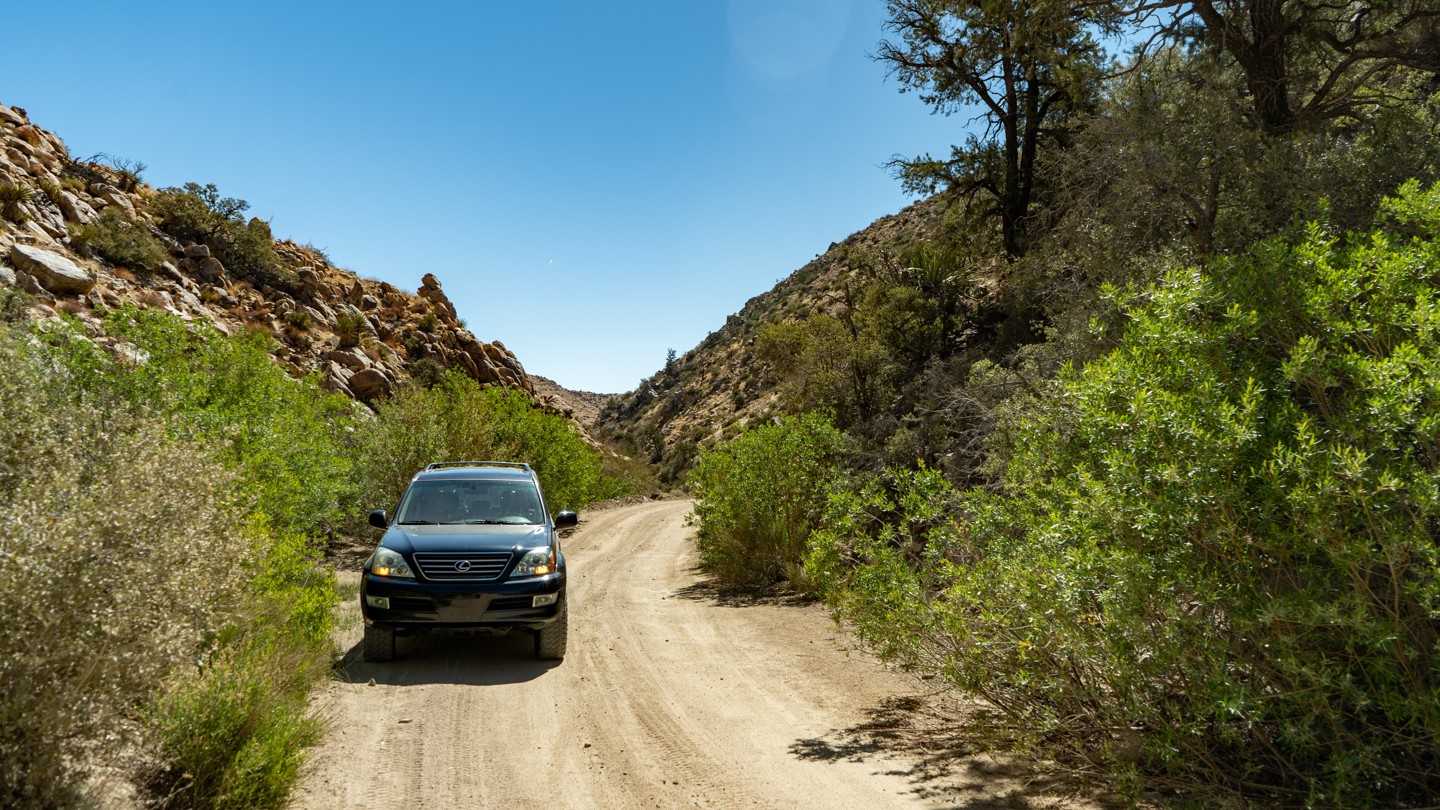
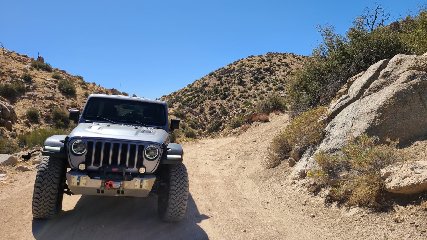
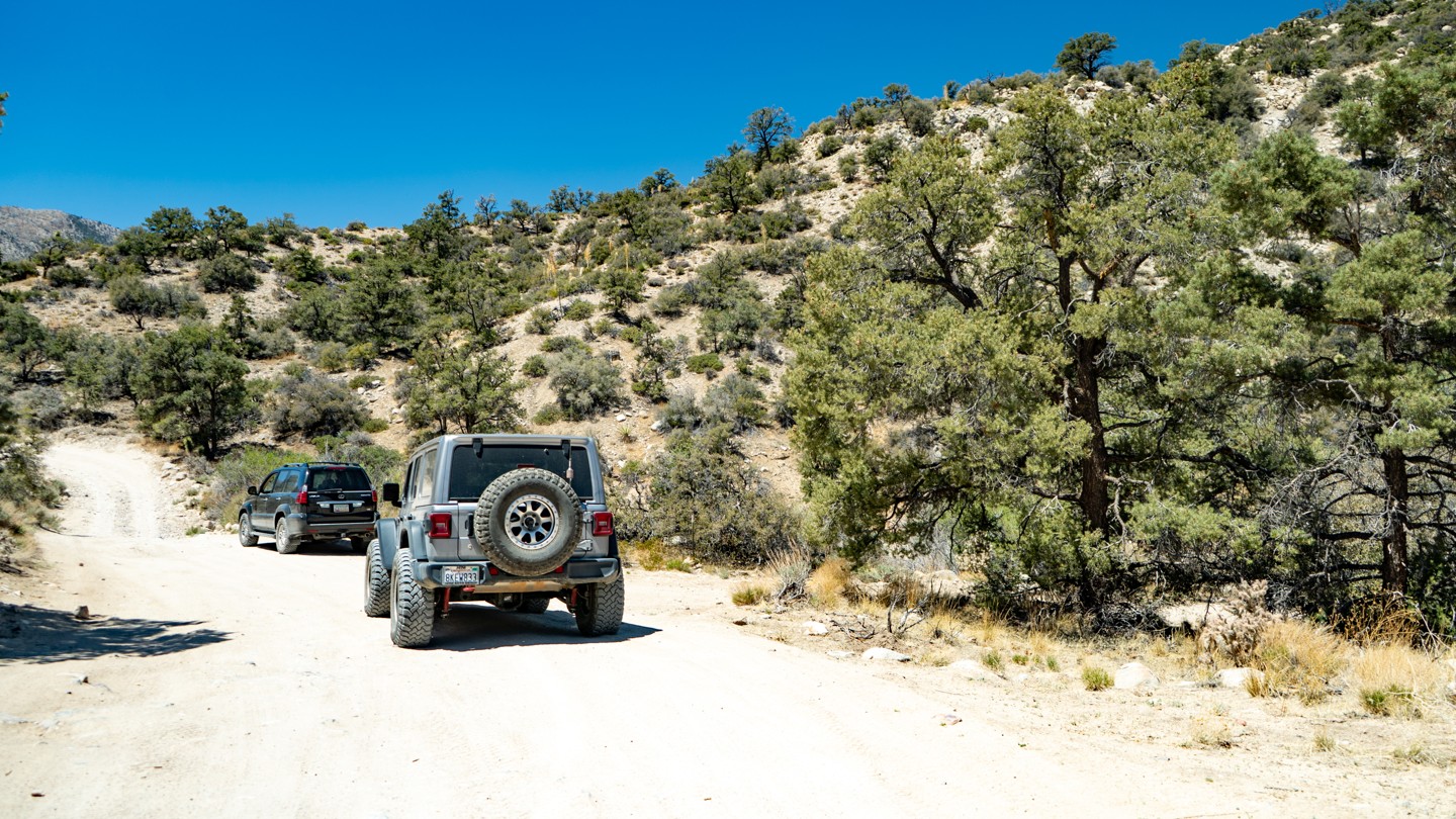
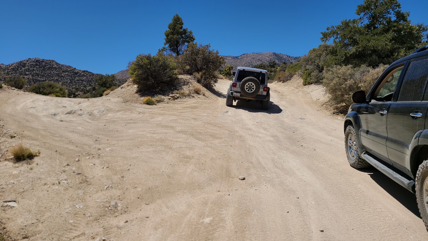
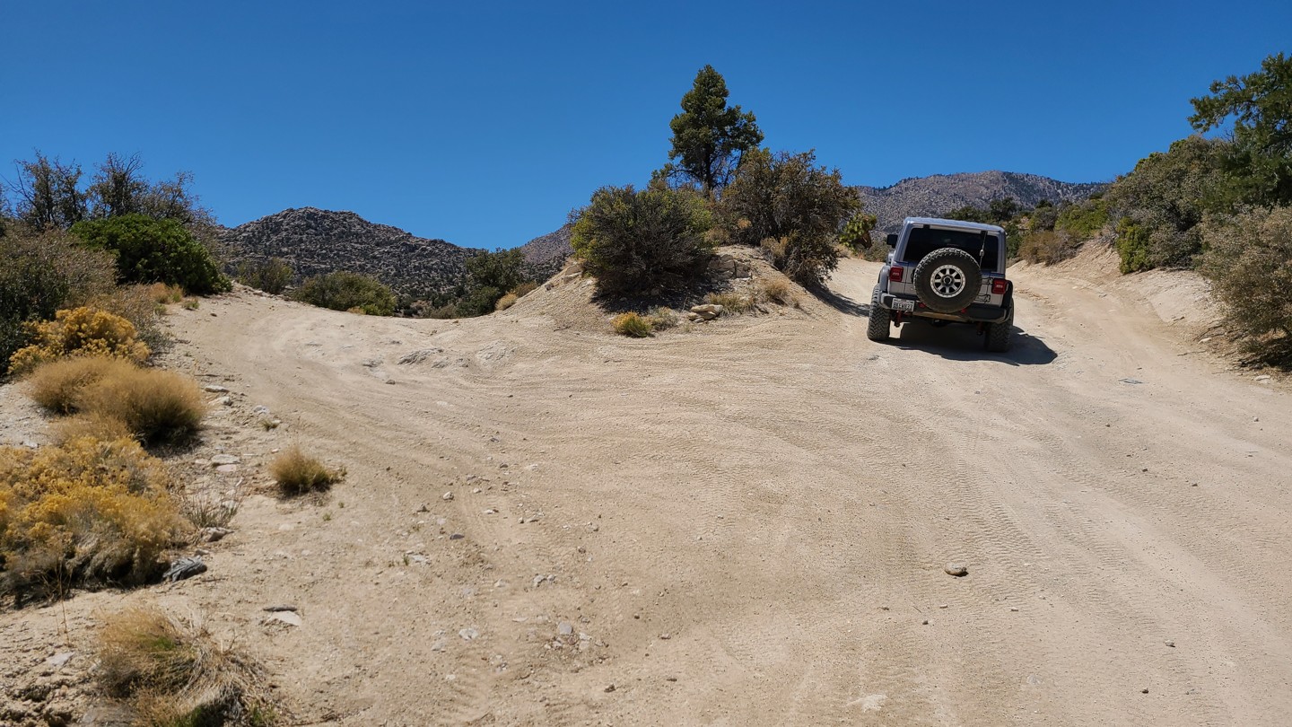
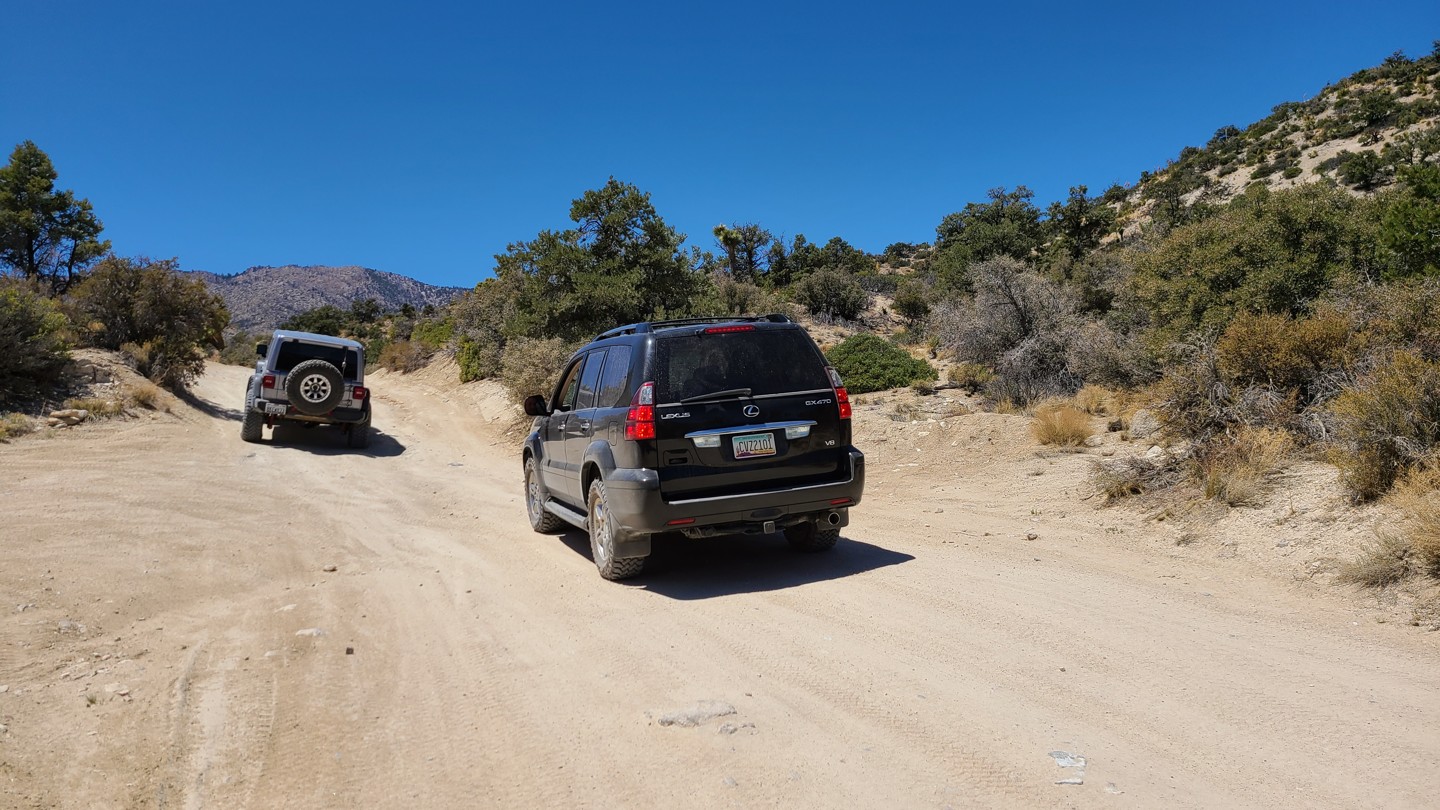
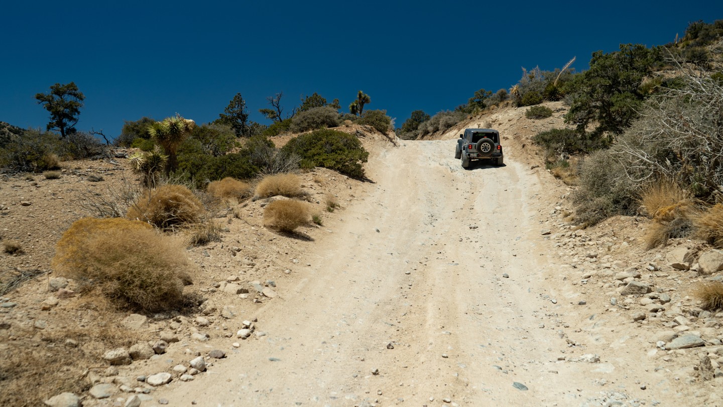
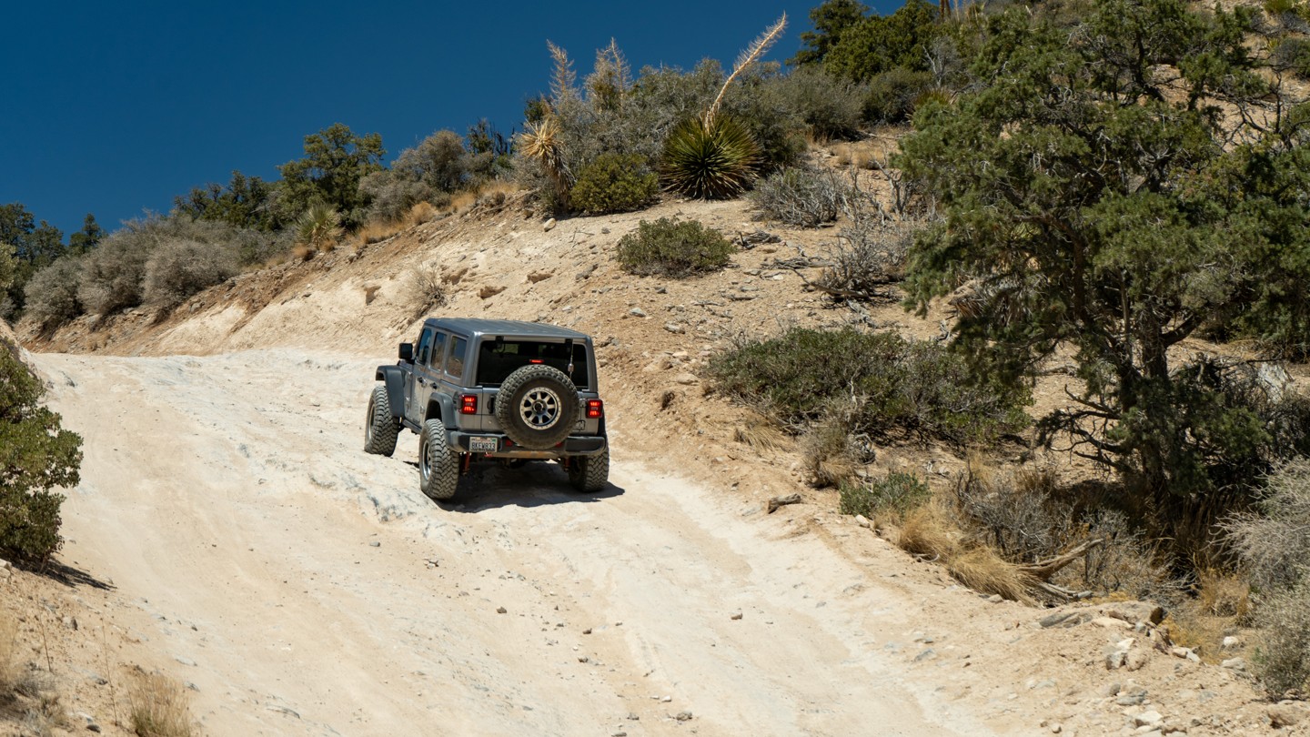
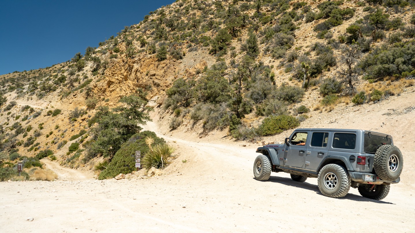
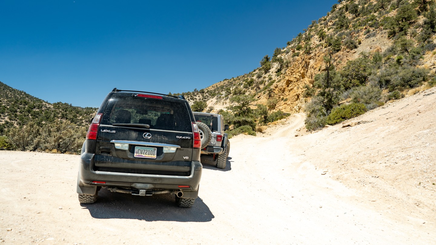
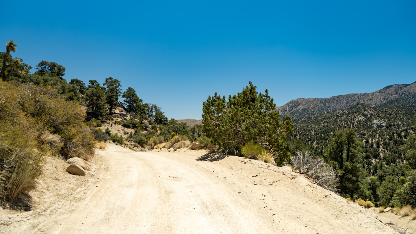
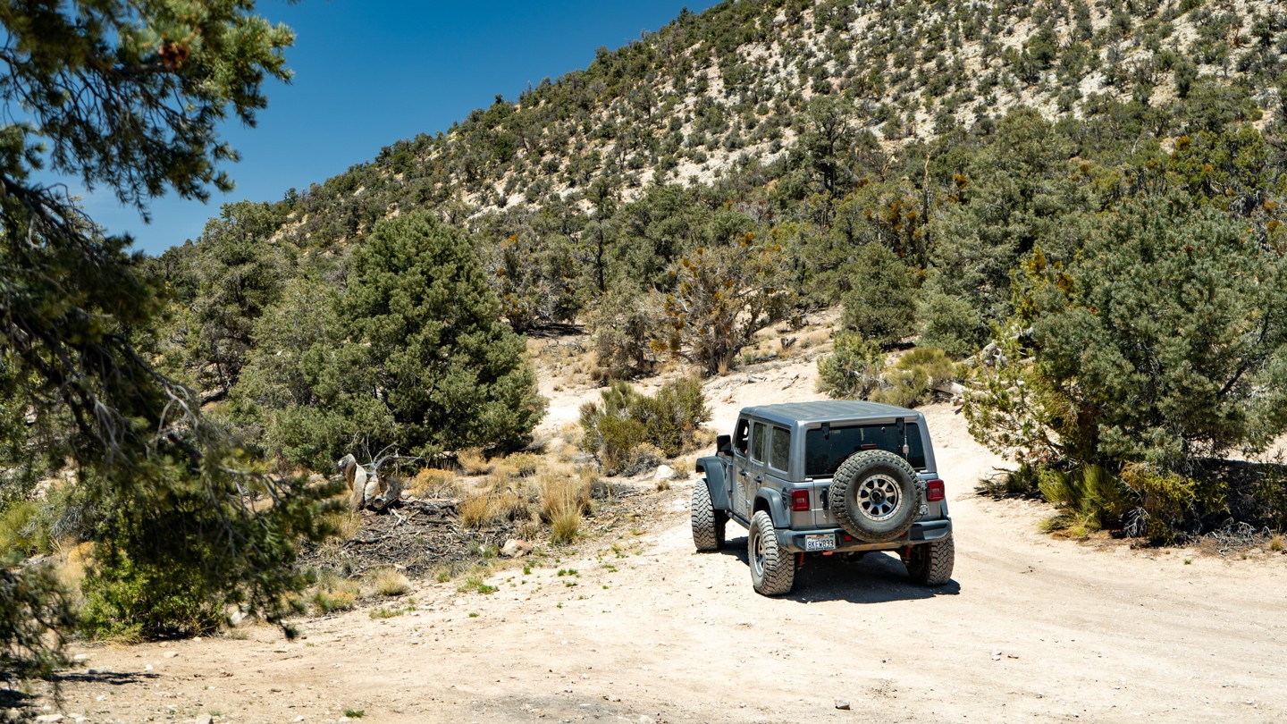
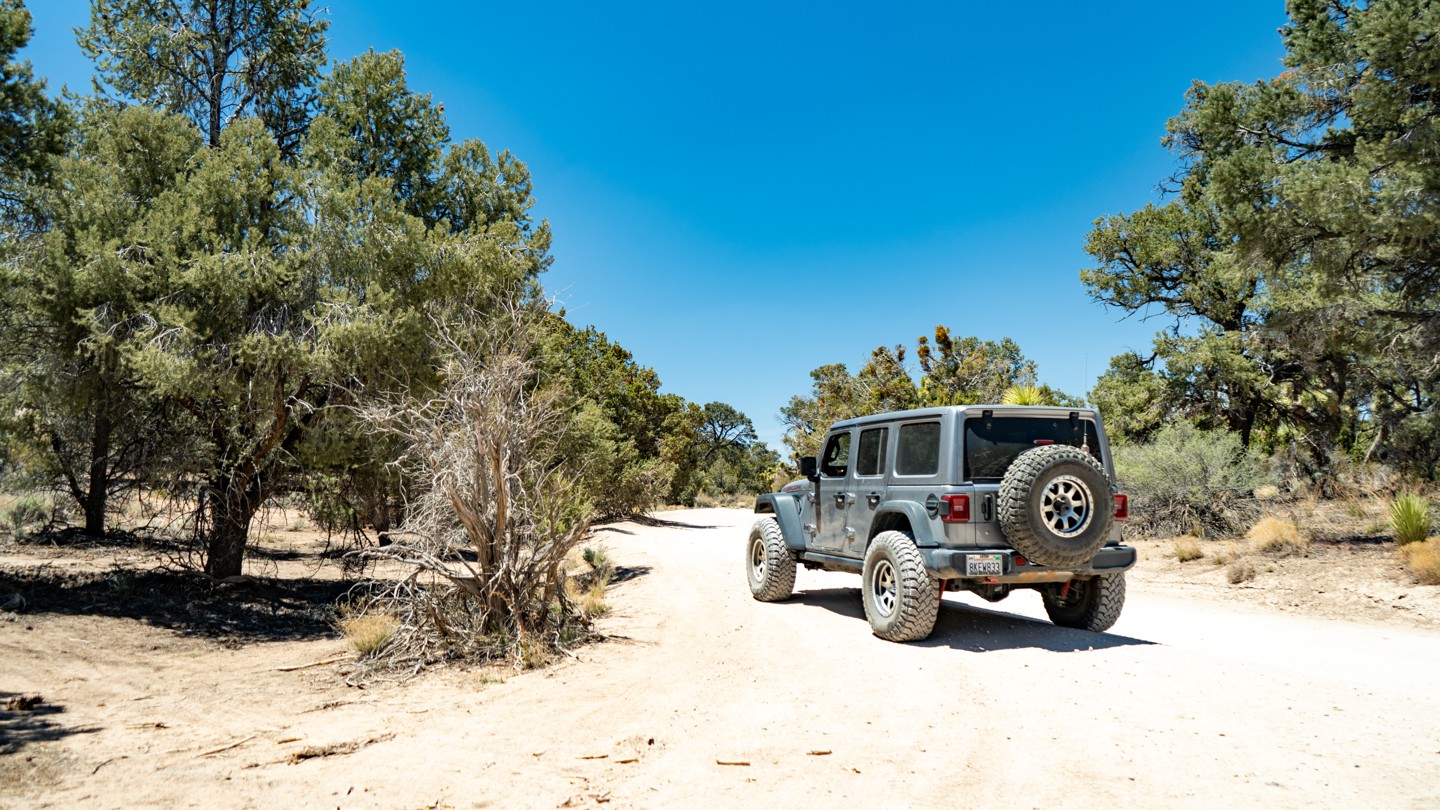
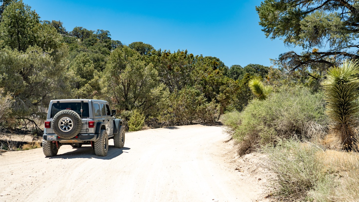
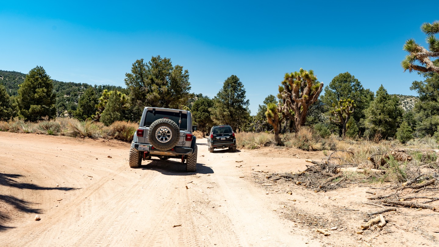
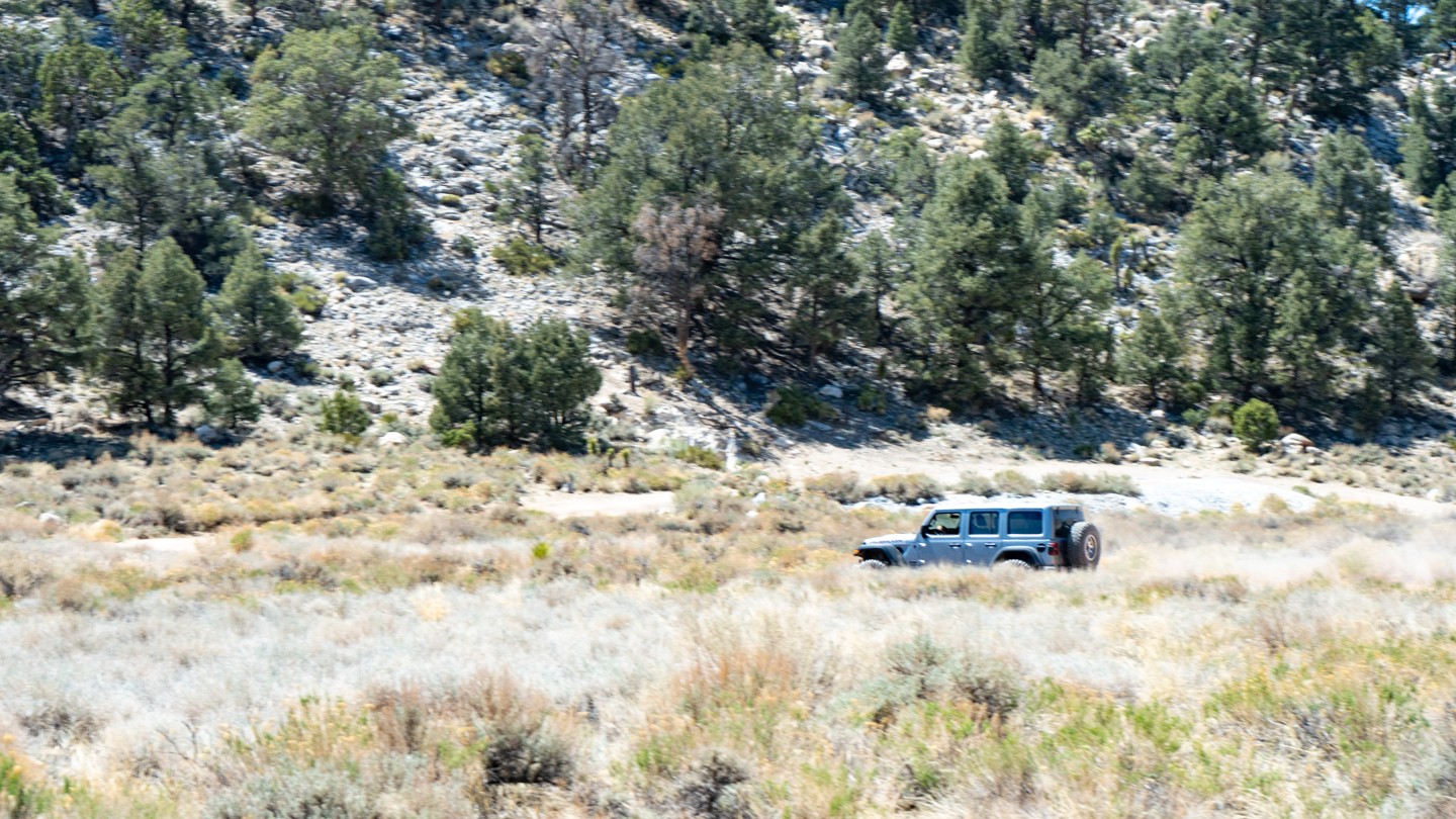
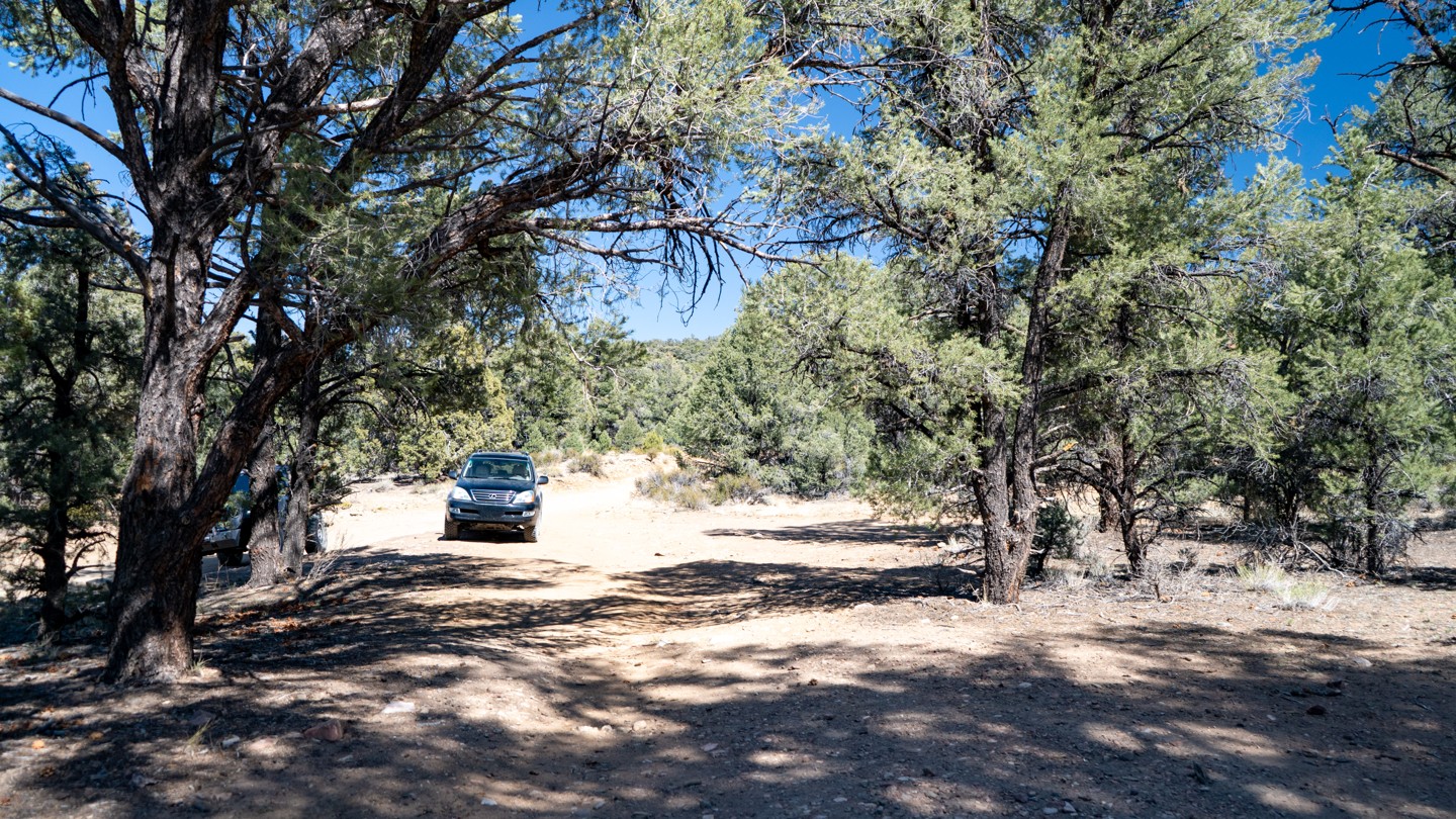
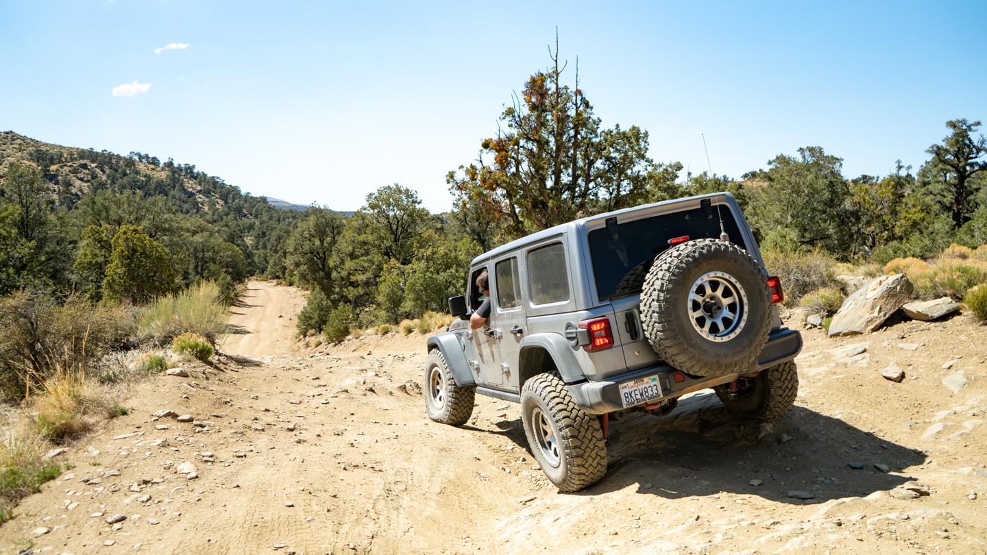
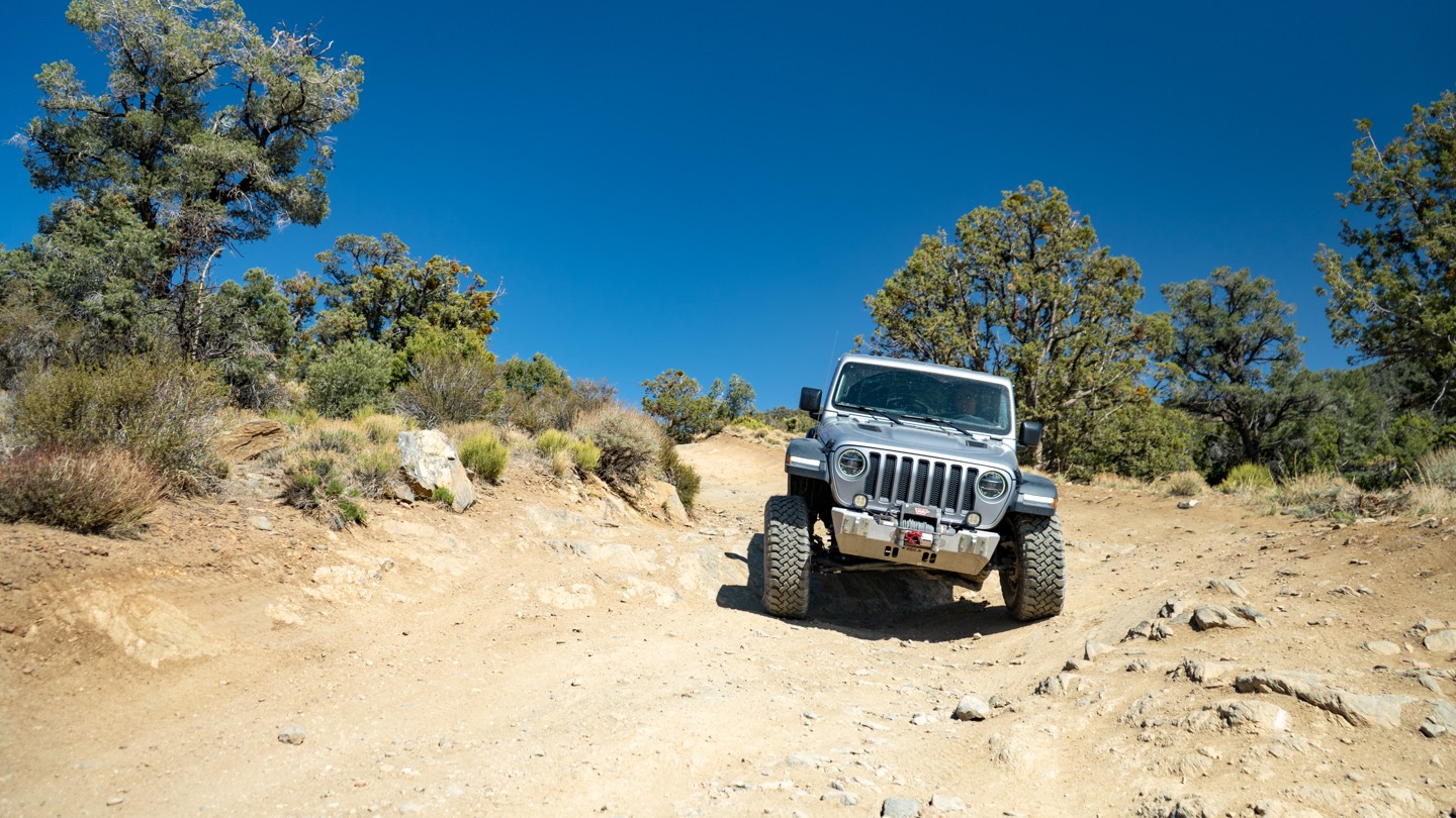
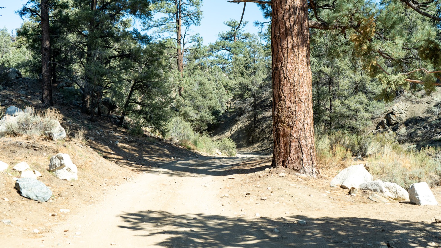
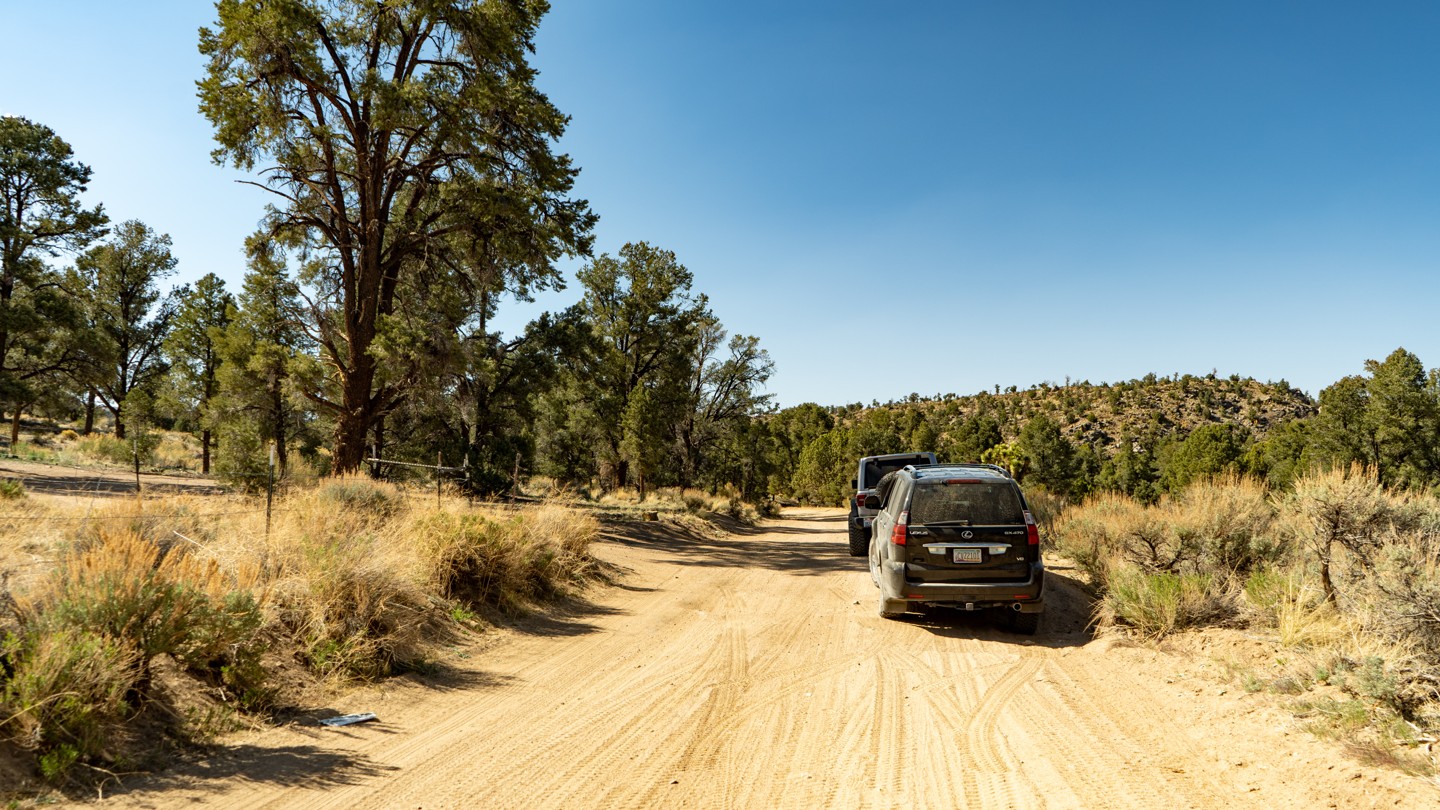
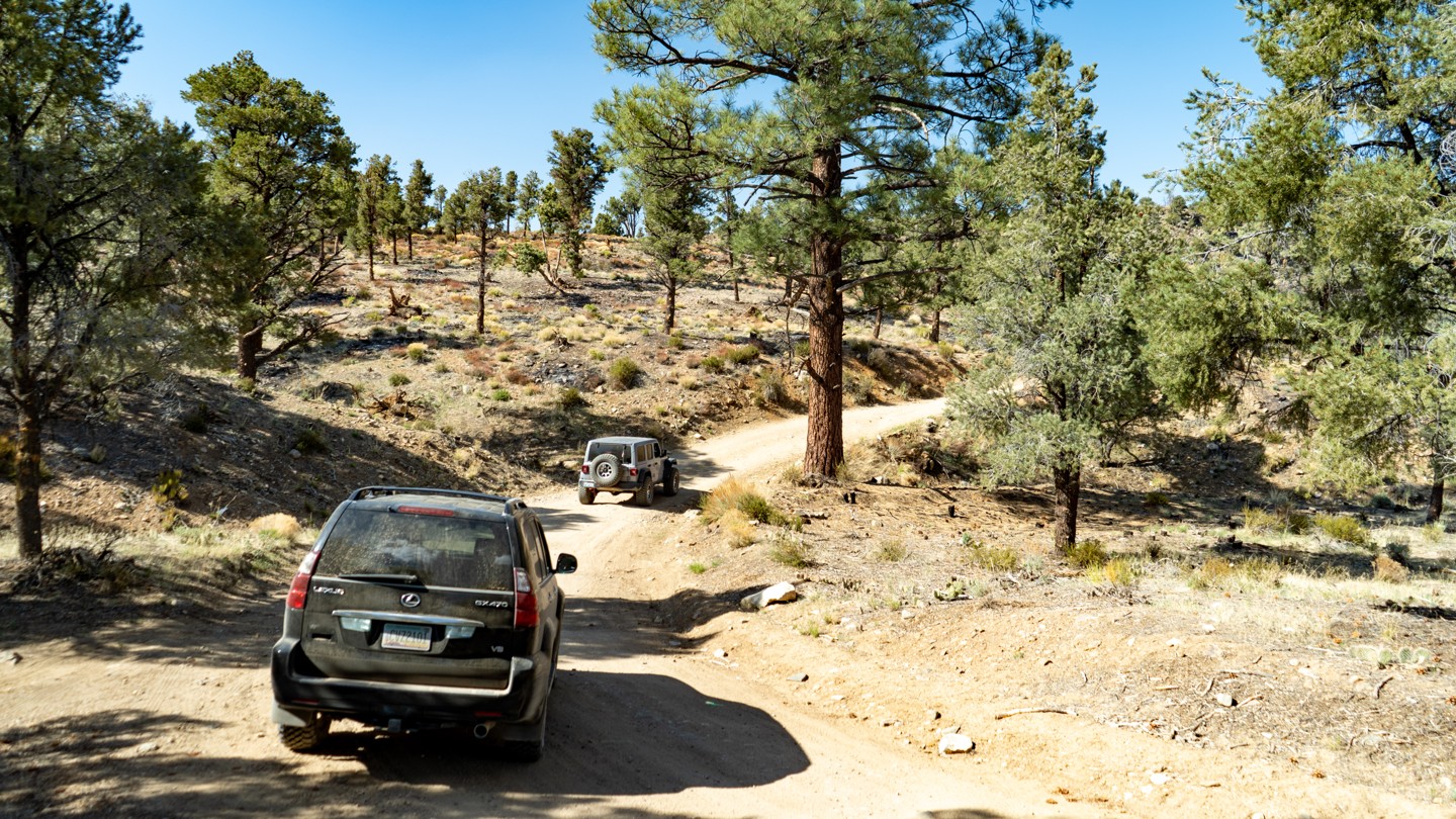
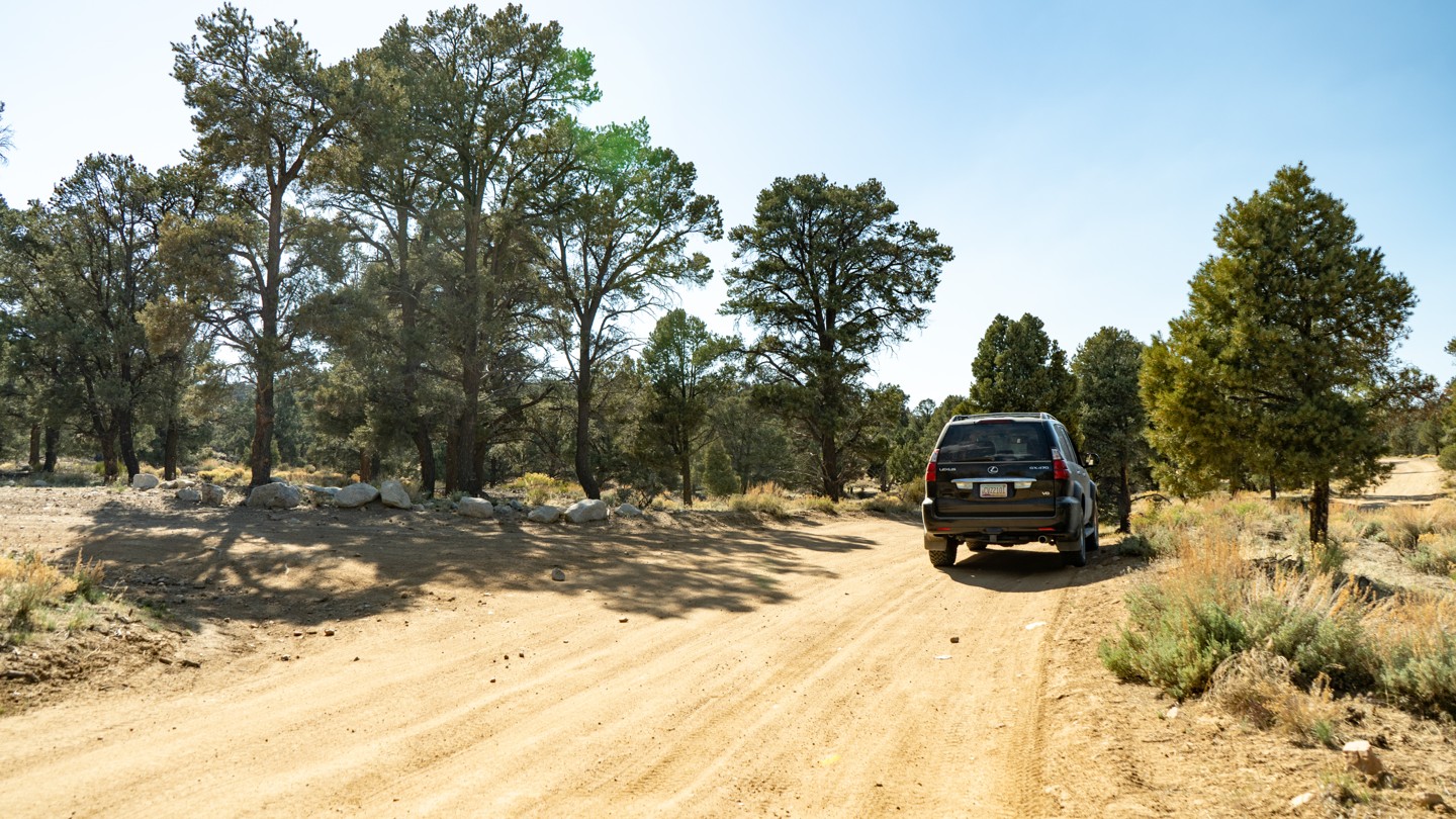
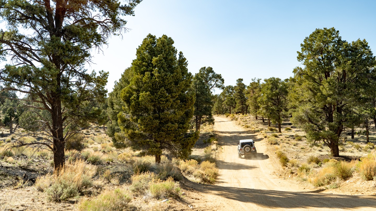
Burns Canyon is referred to as 2N02 Arrastre Creek once in the jurisdiction of the Forest Service. It is a straight-through 19-mile long trail connecting Big Bear and Pioneertown. The road is comprised of hard-packed dirt with patches of protruding rock. Suitable for any SUV.
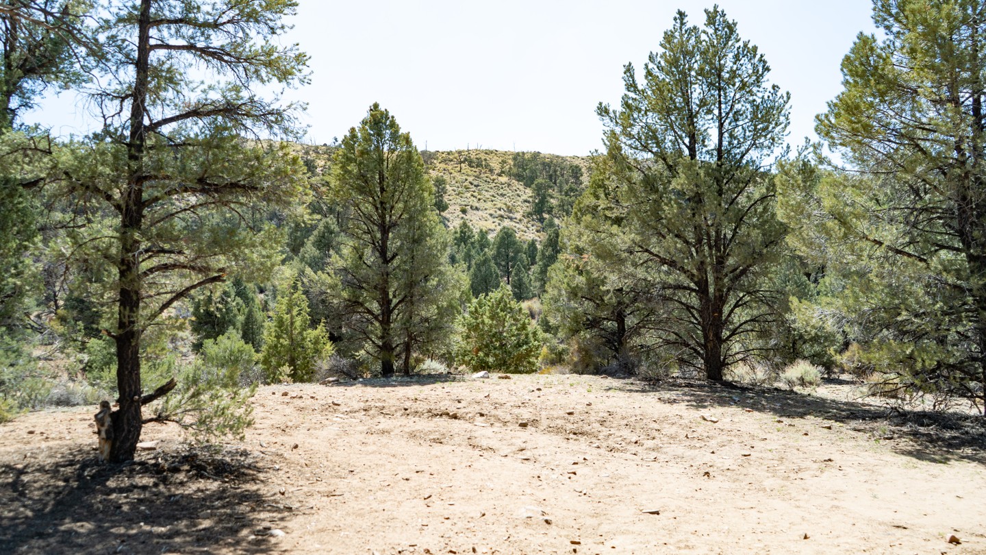
As written here, the trail will climb over 4,300 feet through its course. While weather can be hot in the lower elevations, it can be cold and temperamental up high, so prepare for desert and cold mountain conditions.
The eastern half of the trail before the Forest Service Boundary is on private property. Please drive with respect and care through this area.
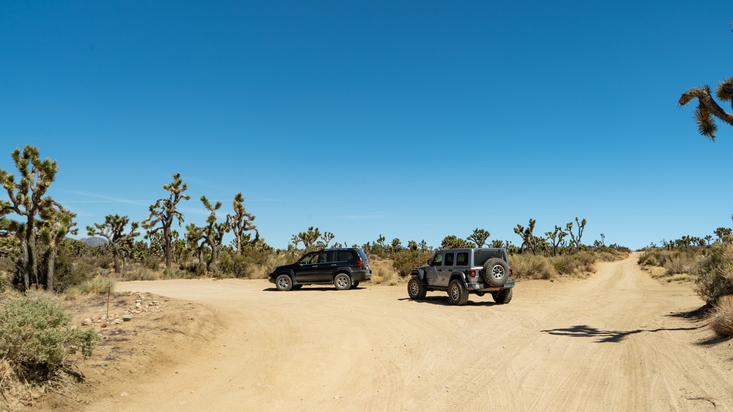
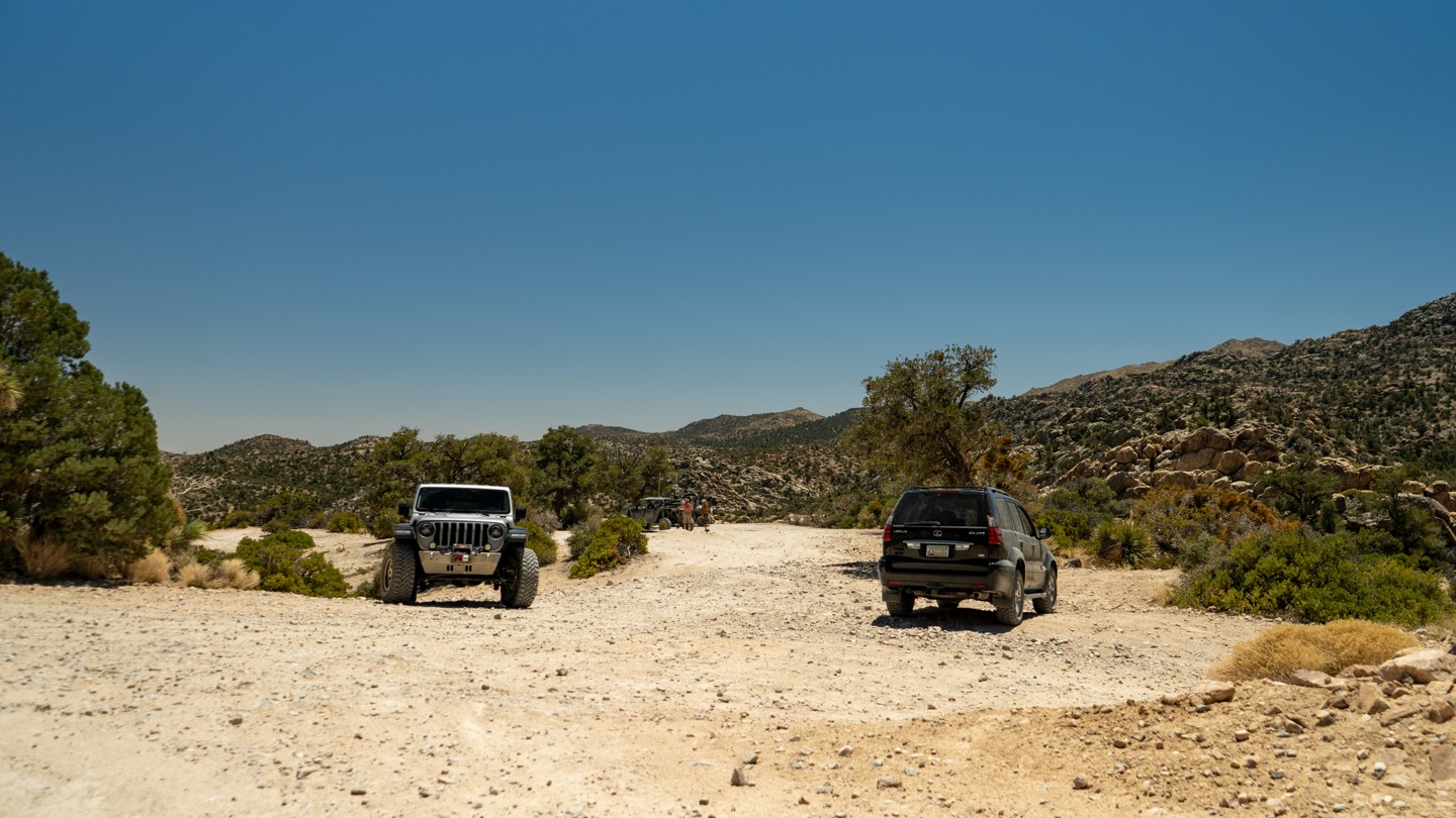
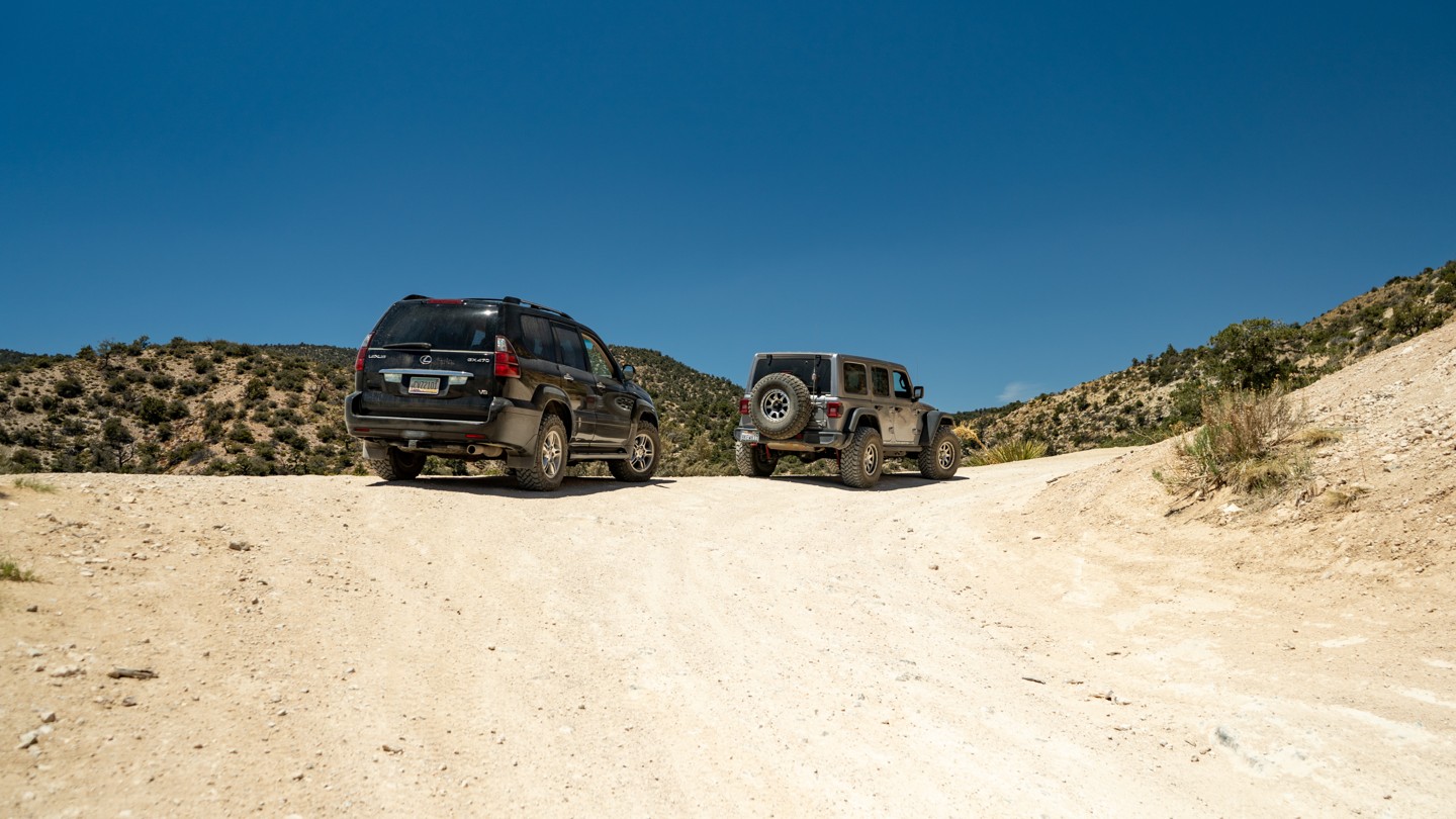
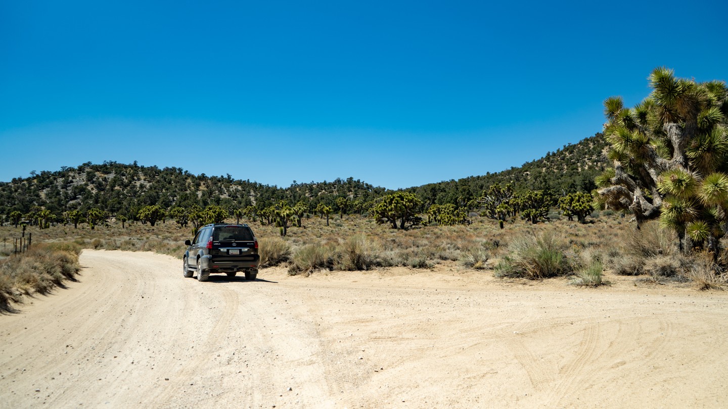
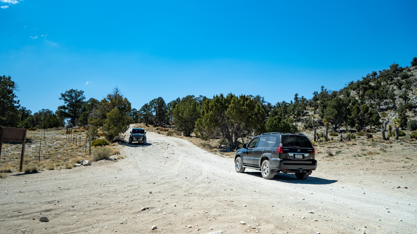
1. Eastern Trailhead (0 mi)
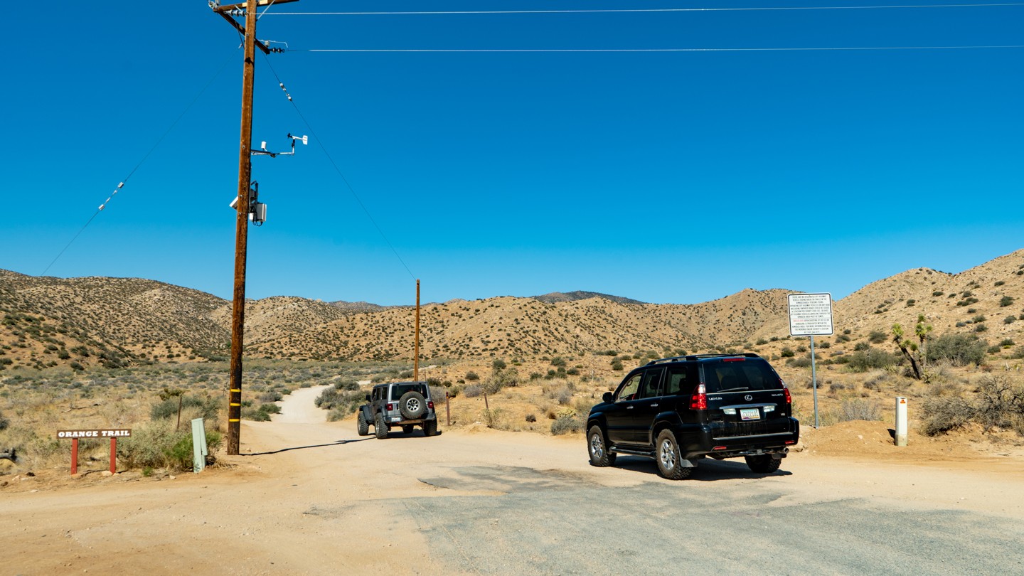
The route starts on and continues on private property up to the forest boundary, so please drive slow and stay on the road. Drive up the road about 1/4 of a mile where the road is plenty wide to air down. After you have aired down you enter the trail's namesake, "Burns Canyon". Note: The road name starts off as Burns Canyon, but eventually turns into 2N02 Arrastre Creek.
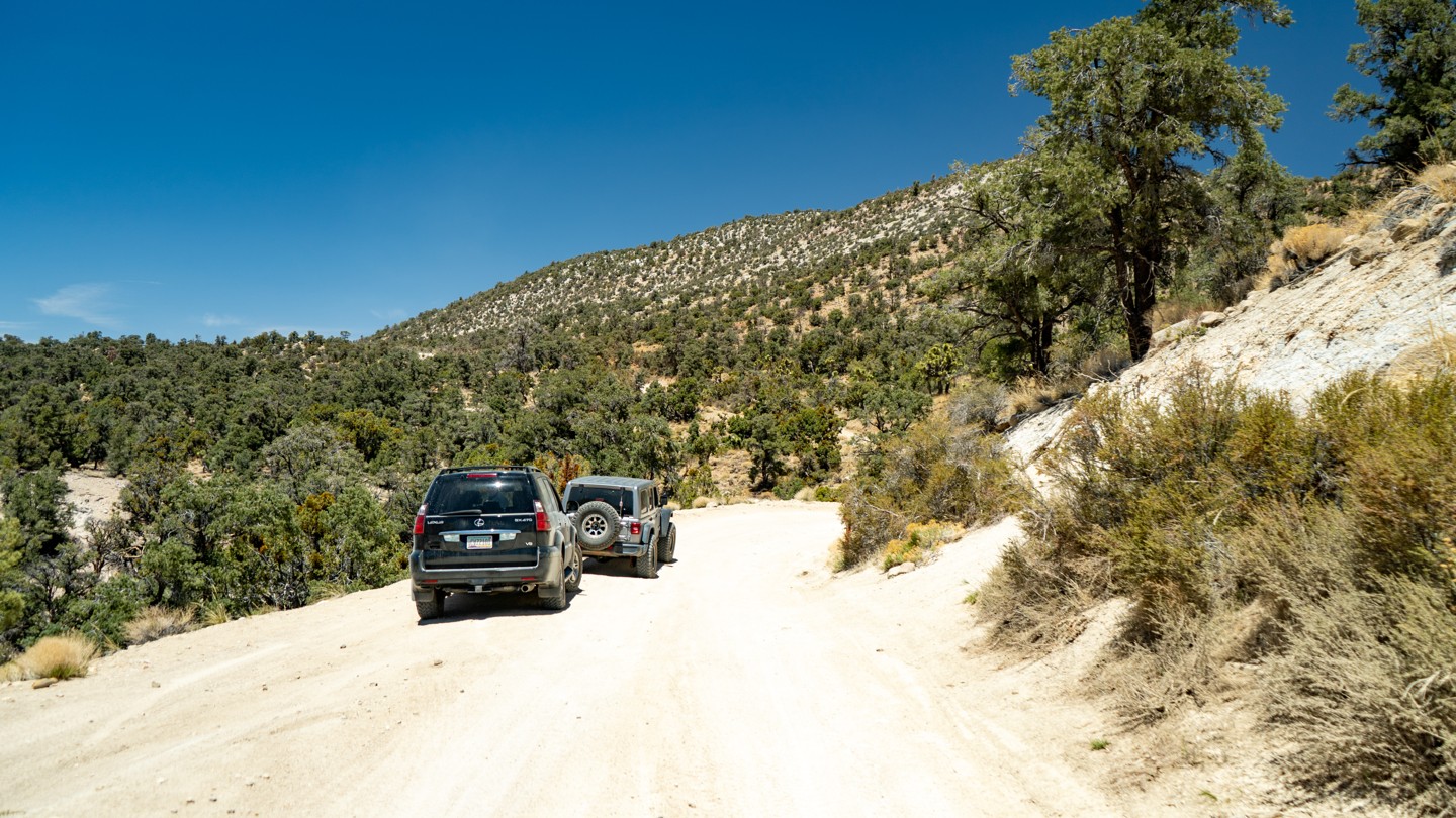
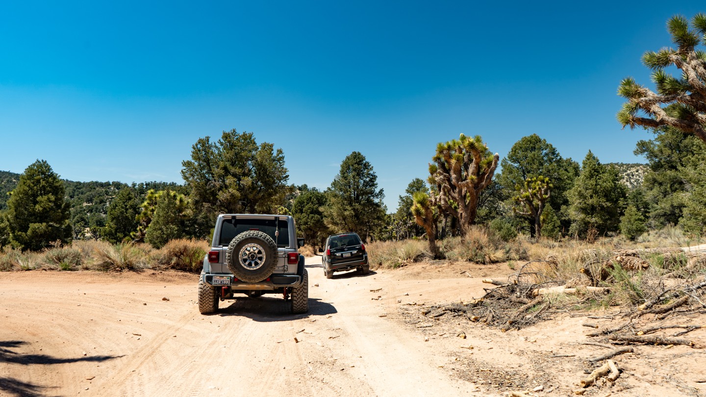
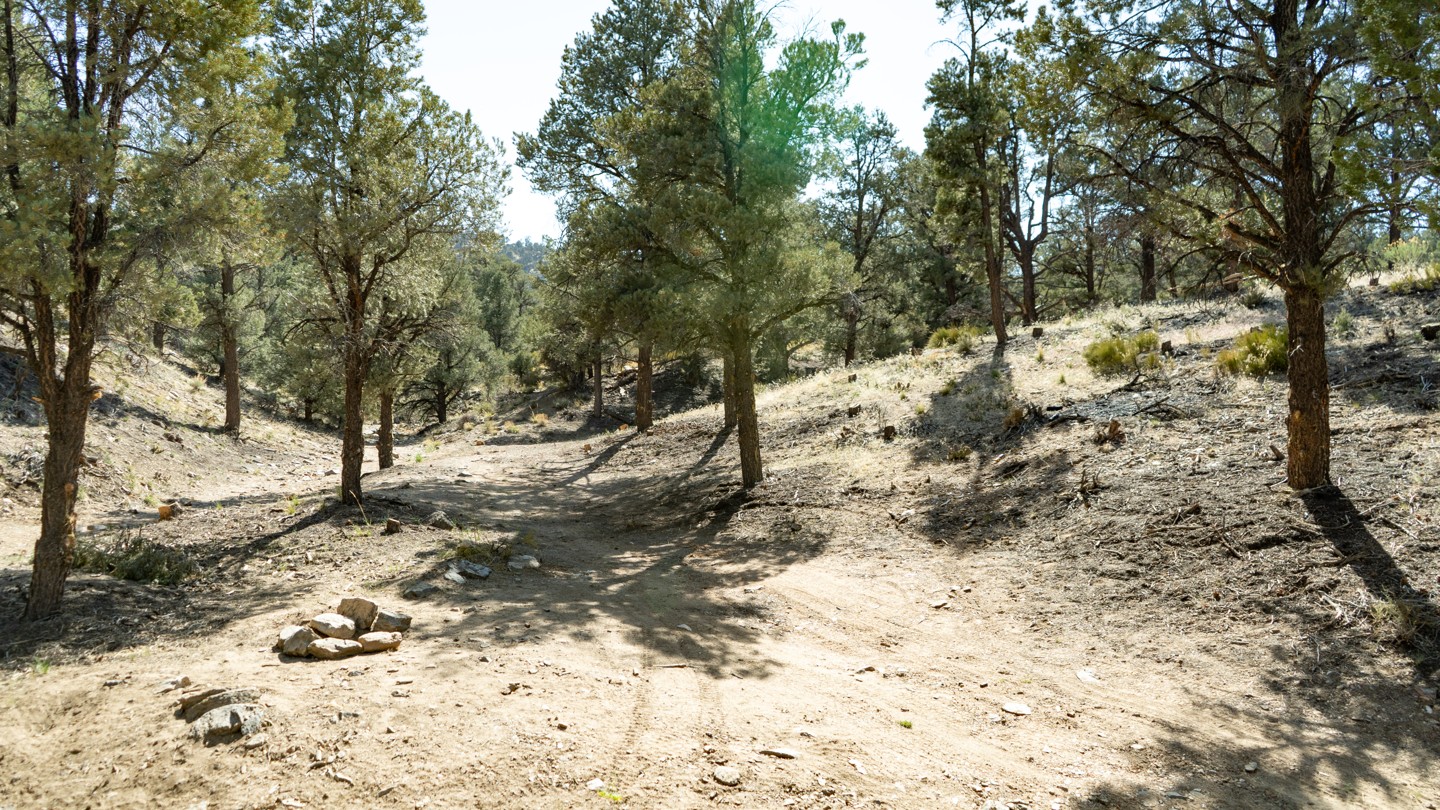
2. Burns Canyon (1.26 mi)
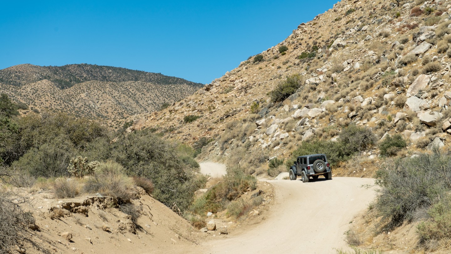
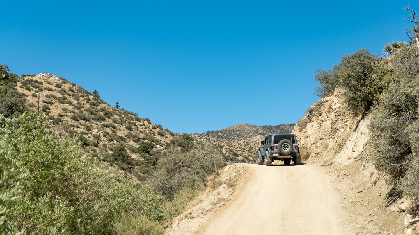
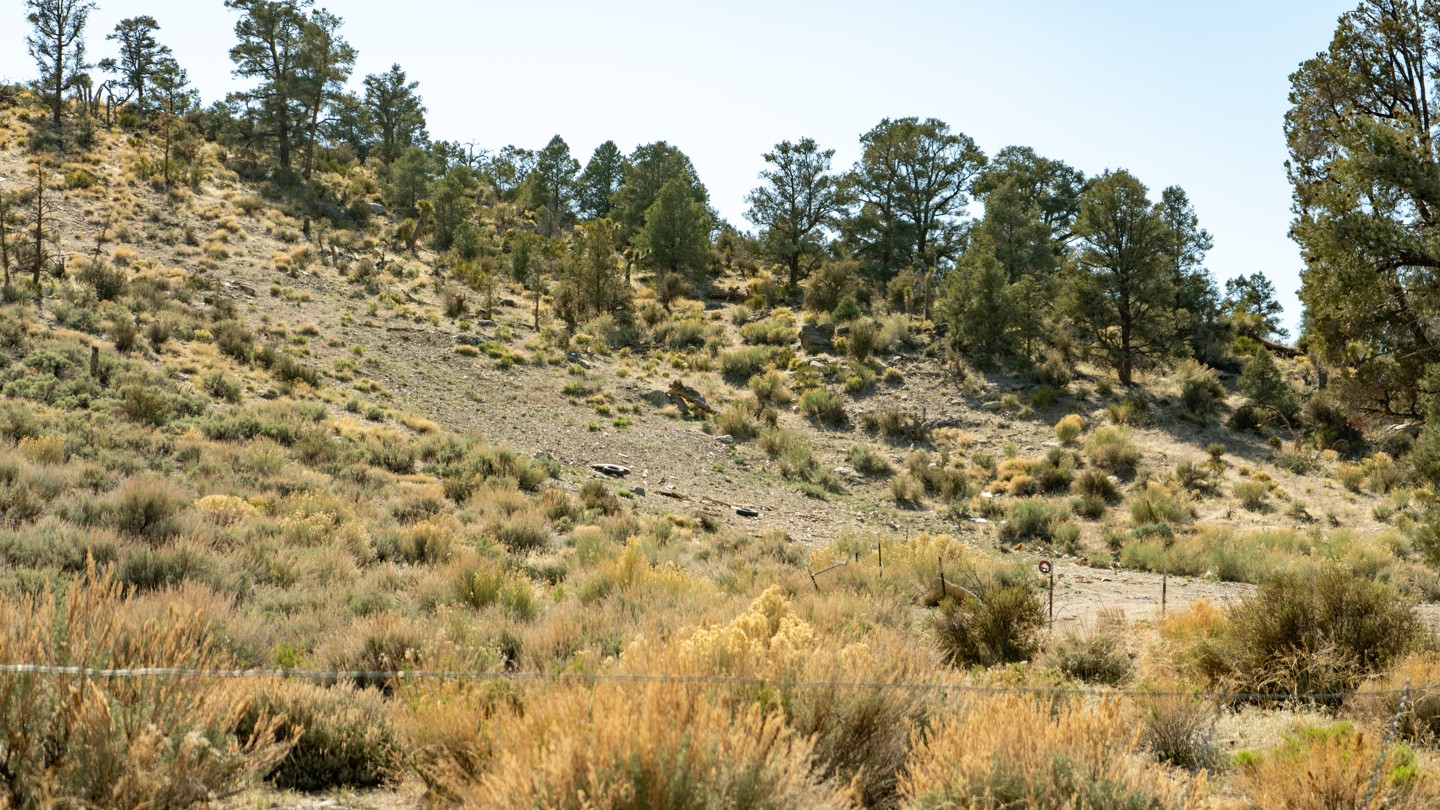
Driving through Burns Canyon is pretty straightforward at this end. It is narrow, and if you look closely, you will see remains of old mines and cabins. Be mindful of oncoming traffic on the slightly blind hills.
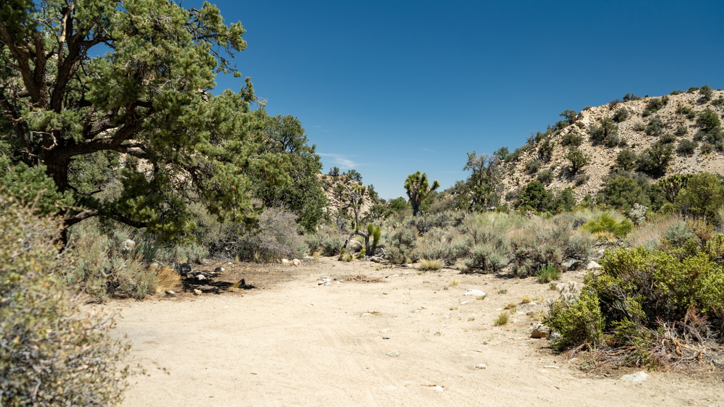
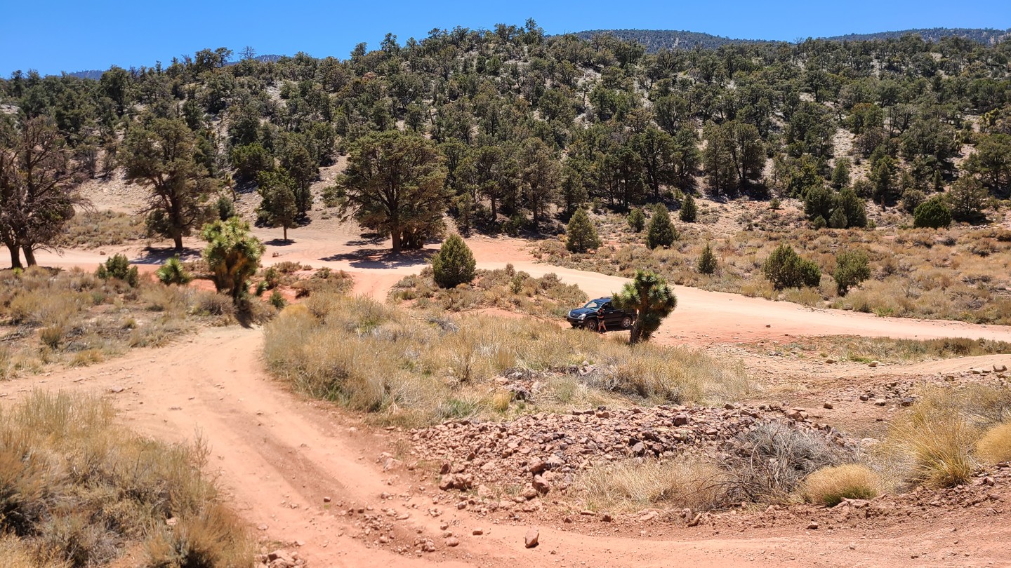
3. Path Split and Rejoins Shortly - Continue Straight (2.3 mi)
Taking the path to the left brings you uphill with a beautiful view of the canyon you have just driven up. The right path is flat and mundane. They both connect back up shortly ahead. Past this point, you will continue through a residential area, so be courteous with your driving and music.
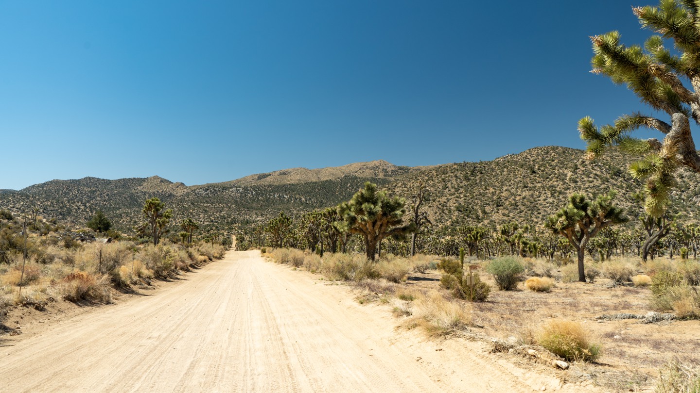
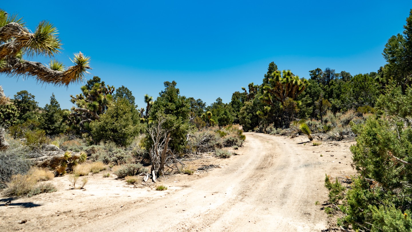
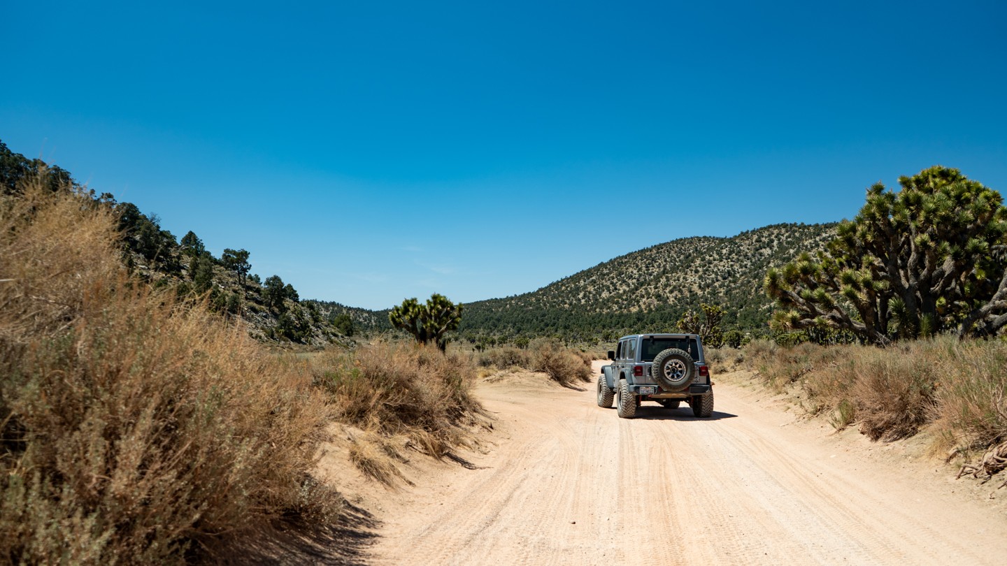
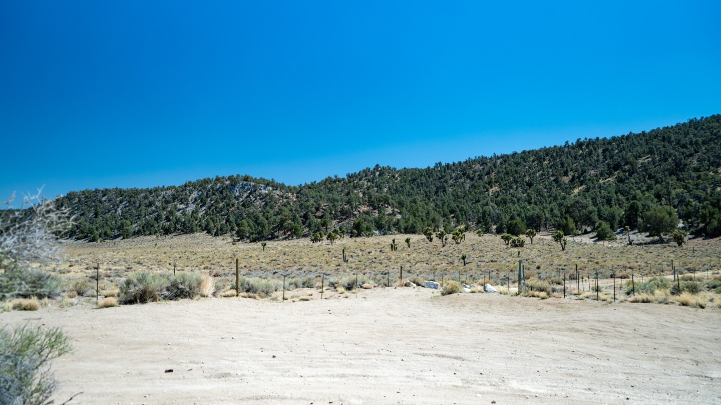
4. Scenic Joshua Tree Straightaway - Continue Straight (5.66 mi)
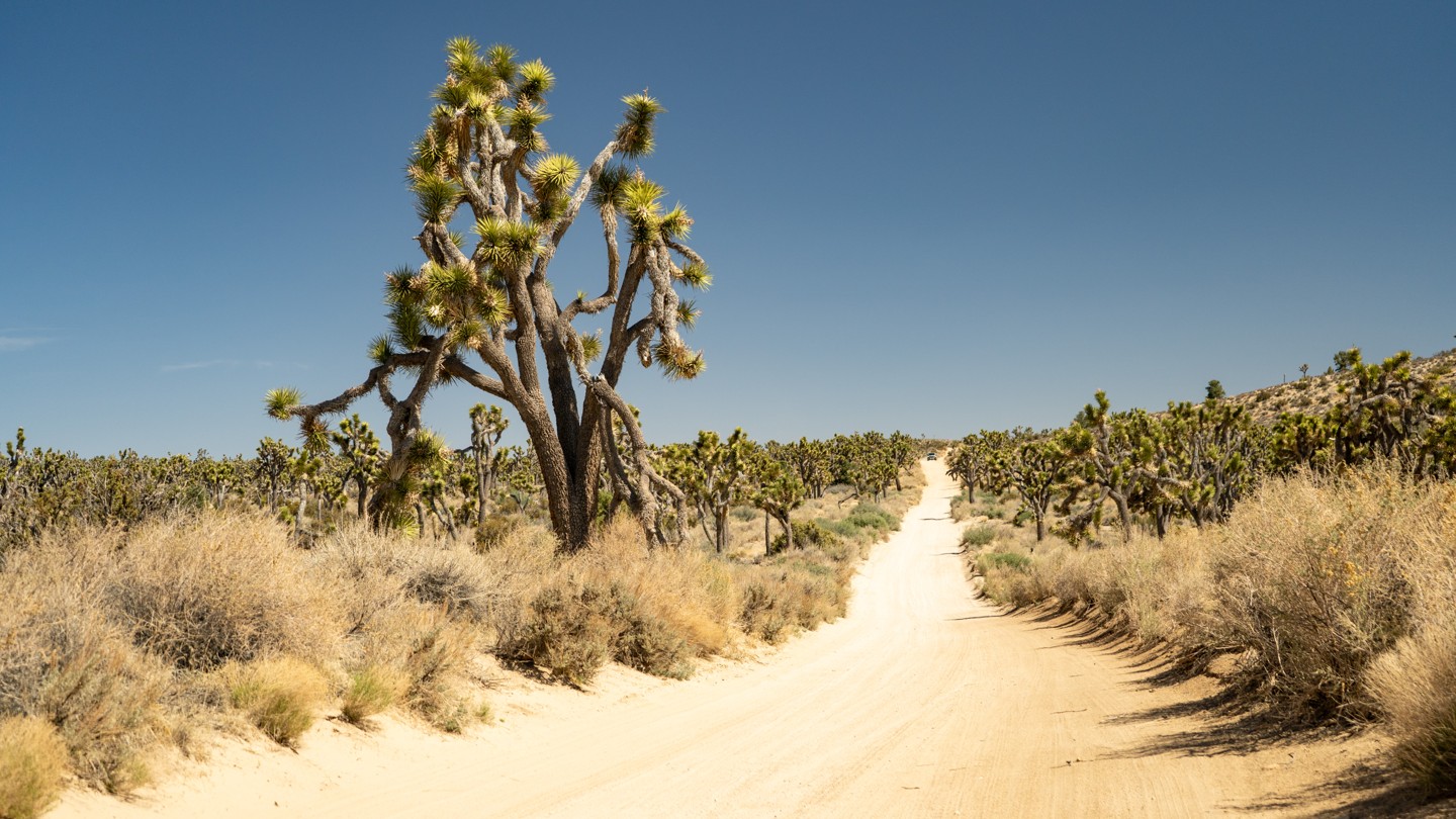
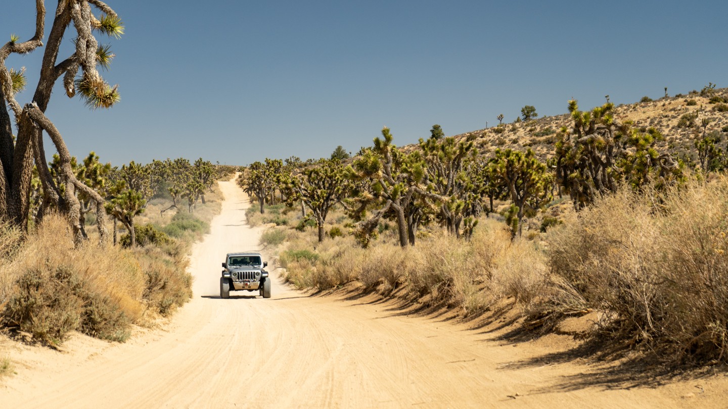
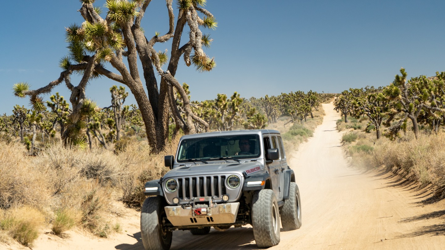
One of the more memorable stretches of the trail is long and straight, with Joshua trees to either side of you. Once you get to the end of this stretch, there will be a sharp tun you must take.
5. Turn - Stay Southwest (5.94 mi)
It is easy to miss this turn and continue straight. Bend left here to enter the National Forest.
6. Rattlesnake Canyon - Stay South (6.33 mi)
Follow the more defined road through the signed gate. Taking the road to the right brings you into Rattlesnake Canyon. If you are looking for an interesting side trip, drive a good mile into the canyon to view a koi pond and an old mill.
Rattlesnake Canyon or RC3331 is a popular overland route that takes you into the San Bernardino Mountains from Old Women Springs Road in Johnson Valley California. Known for its amazing views and rich history, this popular easy to intermediate off-road trail will leave you wanting to come back. While on the route, expect easily navigable rocky areas, mud, soft sand, Joshua Trees, amazing views, flowing springs, and great memories. Near Orange and Los Angeles County, this trail sees a lot of people looking for the ultimate escape from city life. Come out and see why this is one of the most popular offroad adventures in the San Bernardino Mountain Range
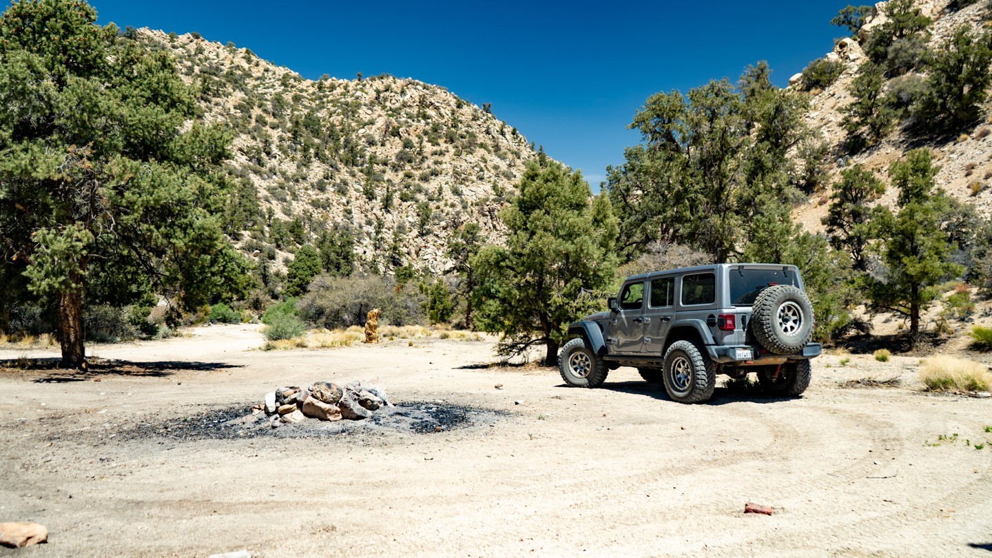
7. Upper Old Rattlesnake Canyon and Camping - Continue Straight (7.41 mi)
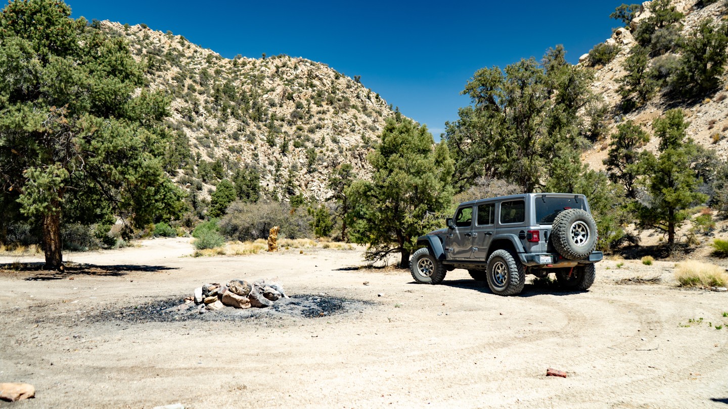
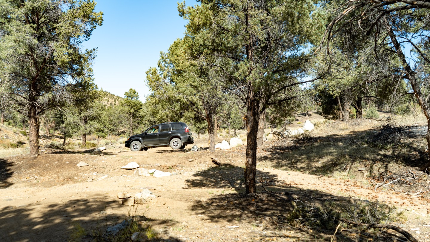
Great camping can be found on this short spur to the right. There are two premade spots; the first is small for a couple of vehicles, with the last one being large for a group of 4 or 5 vehicles.
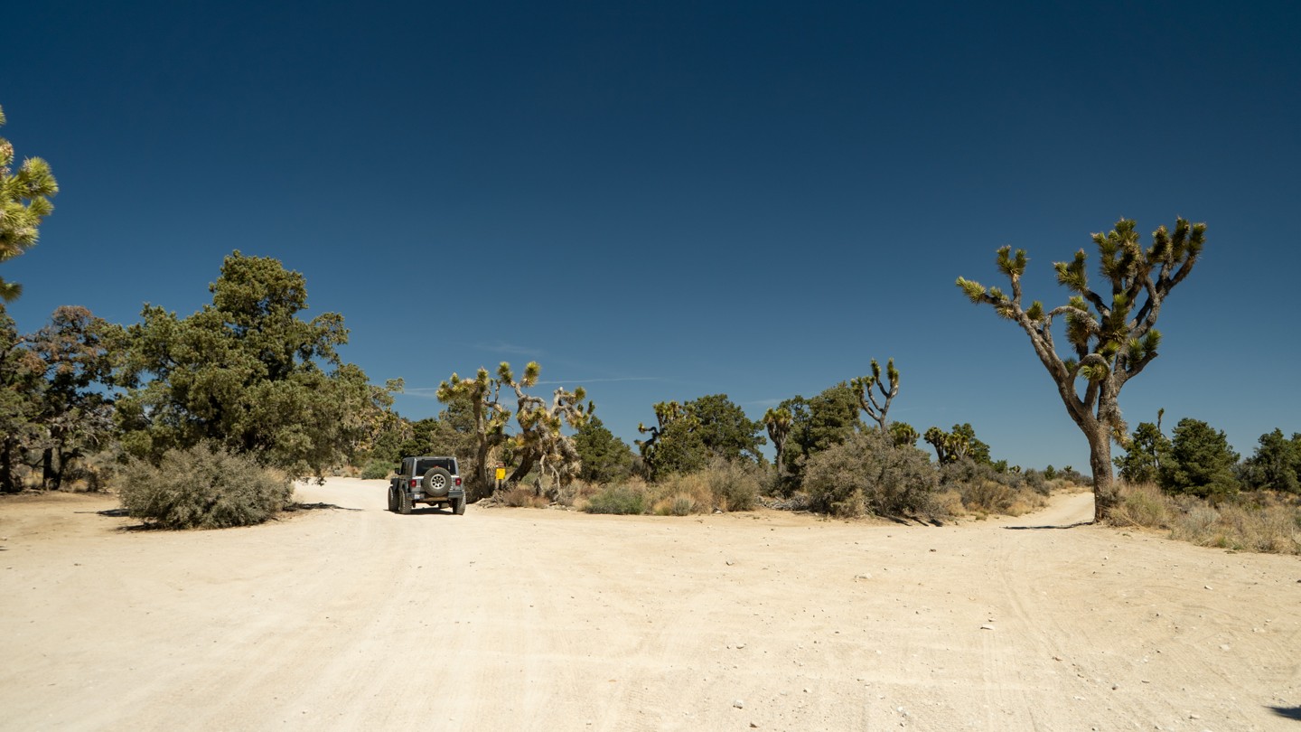
8. Unnamed Trails - Stay North (7.56 mi)
Continue straight here. The unmarked trails to the right do not appear on the MVUM and therefore are most likely not legal routes.
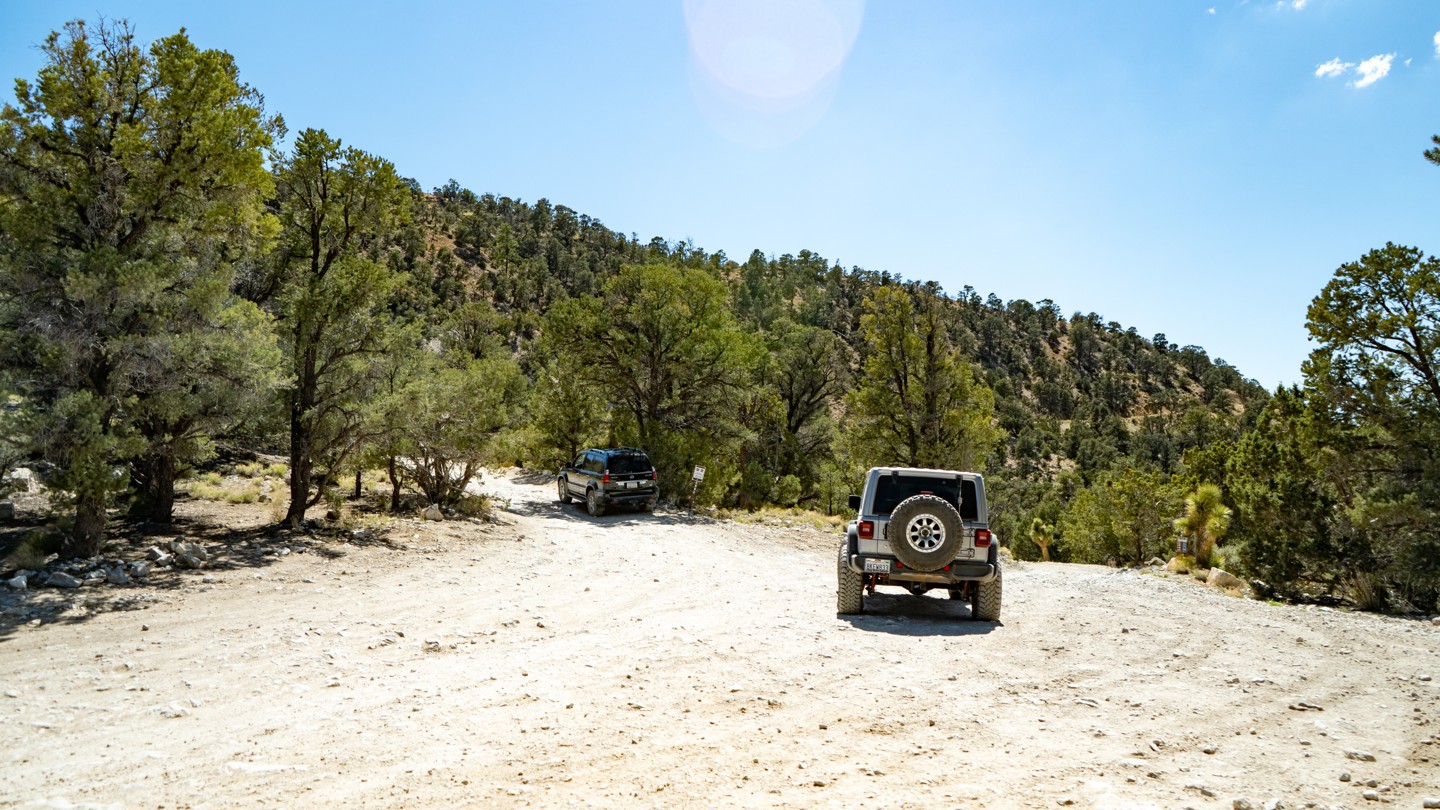
9. Heartbreak Ridge 2N61Y and Camping - Stay North (8.18 mi)
Continue straight. Off to the south is the split off to 2N61Y - Heartbreak Ridge. The trail is an intermediate trail with difficult spots. Do not attempt this trail alone.
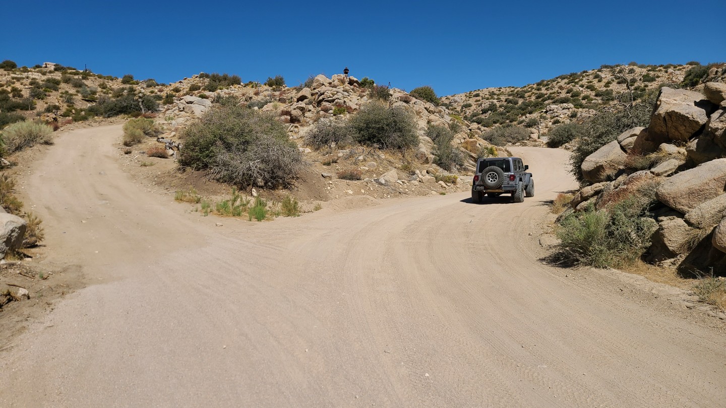
10. Harder Area East Side - Continue Straight (8.35 mi)
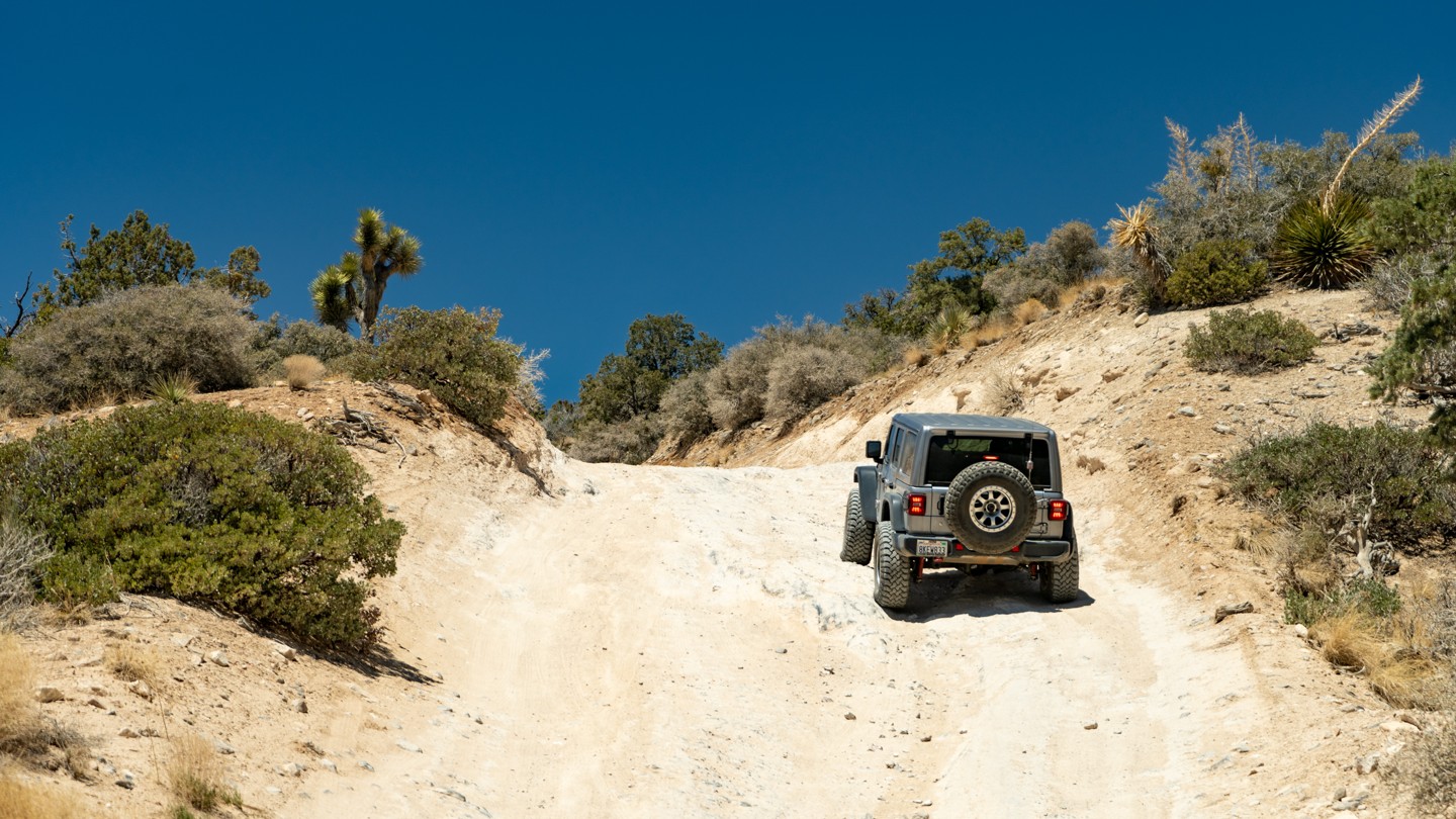
The most difficult portion of the trail on the east side is this section. Any stock SUV can handle this with ease in dry conditions.
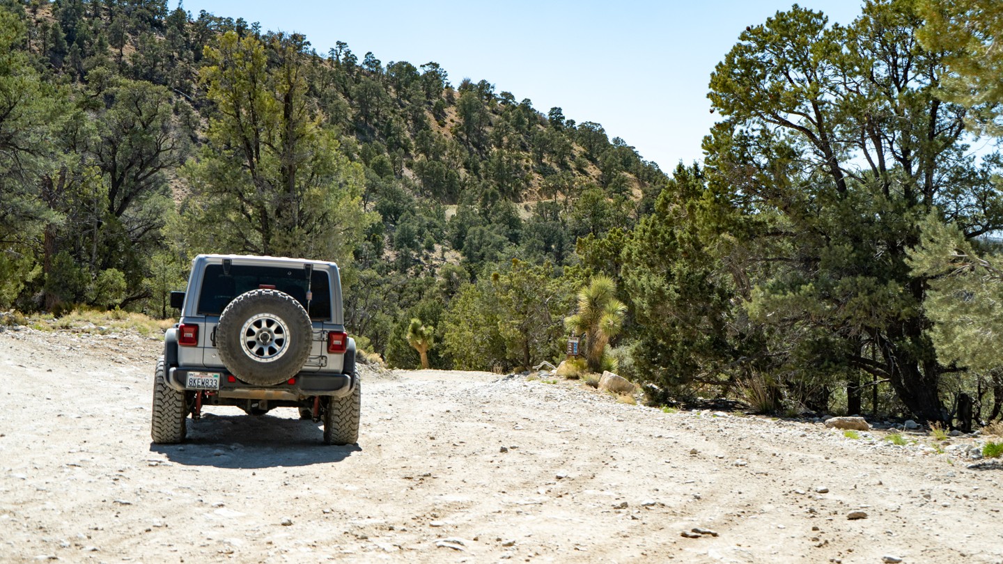
11. 2N70Y Sidewinder - Stay North (8.55 mi)
Stay to the north as you pass 2N70Y Sidewinder Trail. Sidewinder is the intermediate trail on the northeast side of the National Forest. The trail is easier than 2N61Y - Heartbreak Ridgee. However, Sidewinder is also a very short trail, so if your group has an extra 30 minutes to an hour, it might be worth the side adventure to have a little fun and test out the vehicles. Since this is an intermediate trail, you should never attempt this trail alone and always have at least a second vehicle with you.
12. 2B70Y Sidewinder - Stay North (9.56 mi)
Stay to the north as you pass 2N70Y Sidewinder Trail. Sidewinder is an intermediate trail and a very short trail on the northeast side of the National Forest. The trail is easier than 2N61Y - Heartbreak Ridgee. However, Since Sidewinder is a very short trail, if your group has an extra 30 minutes to an hour, it might be worth the side adventure to have a little fun and test out the vehicles. Since this is an intermediate trail, you should never attempt this trail alone and always have at least a second vehicle with you.
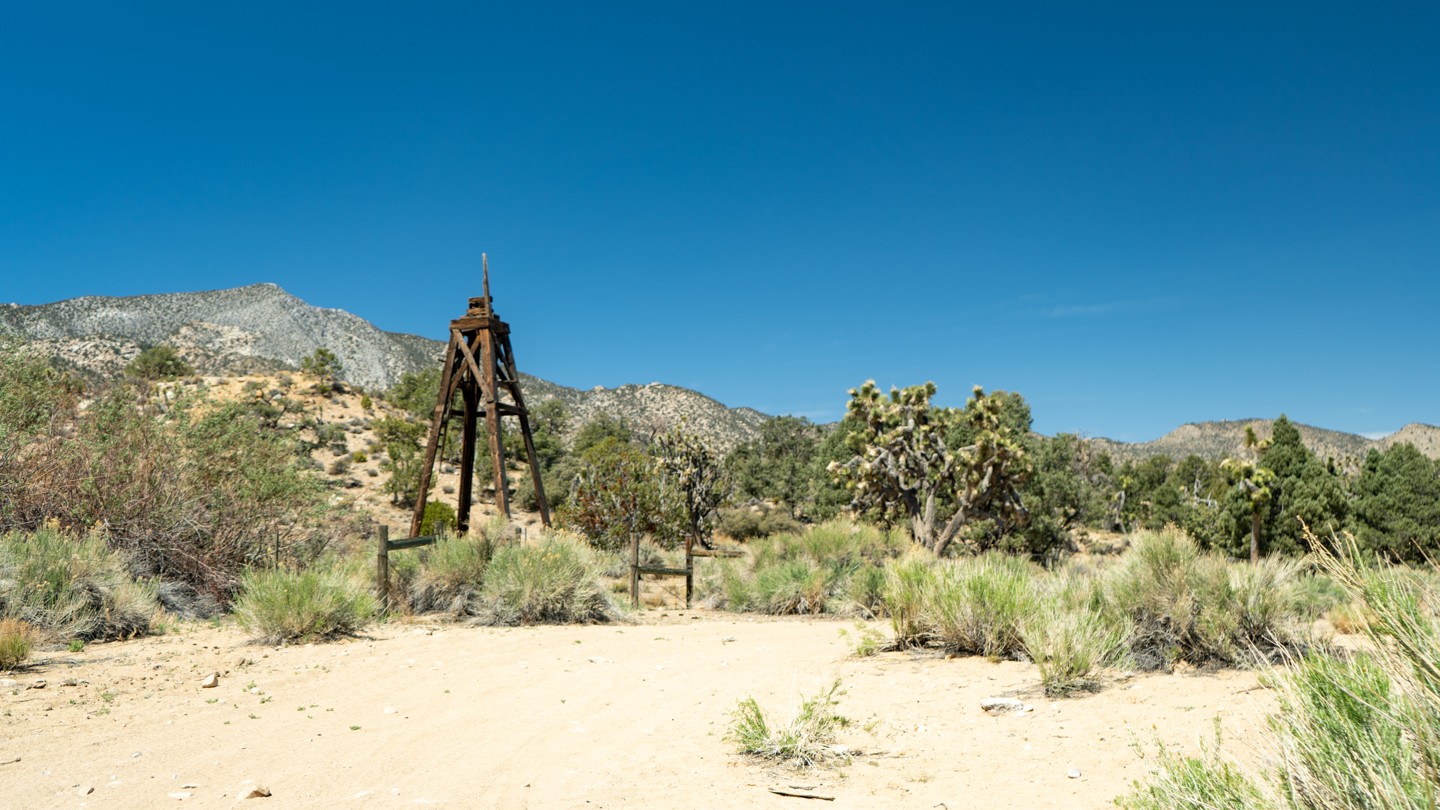
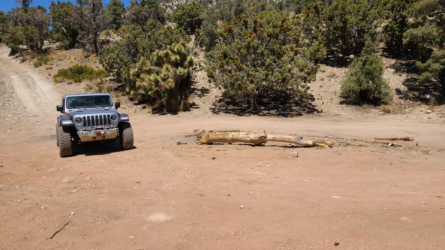
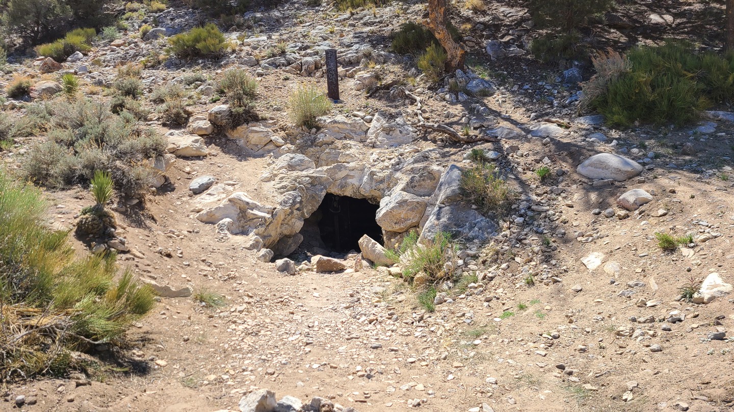
13. Mine - Continue Straight (9.85 mi)
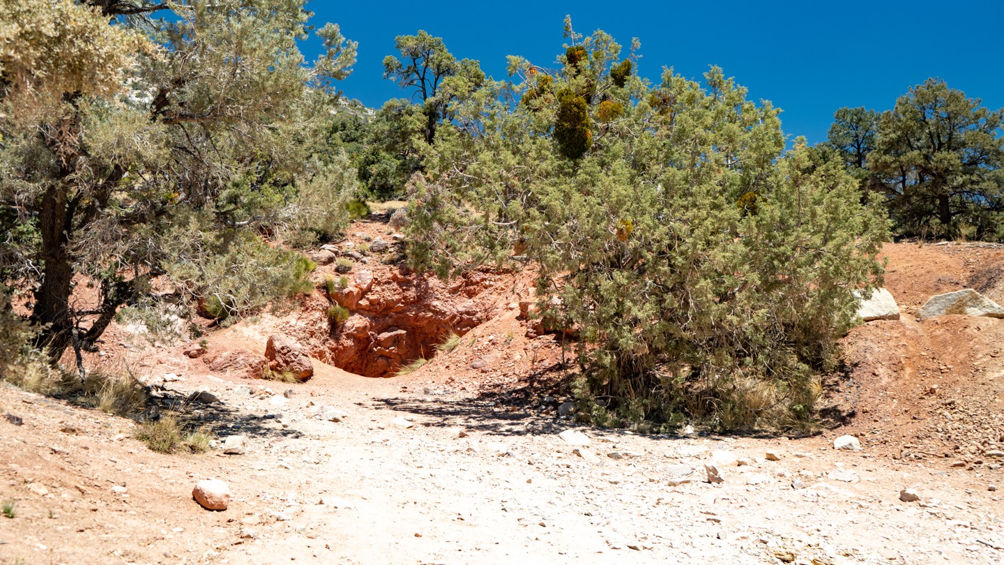
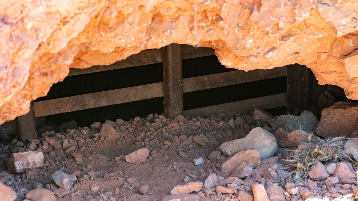
There are several mines located along Burns Canyon Road just before you reach the Tip Top Mountain Trail. The mines are all blocked with heavy steel gates or have been caved in and fenced off, preventing the would-be explorer or treasure seeker from venturing in the old mine shafts. The famous Rose Mine is located smack dab in the middle of Burns Canyon Road.
14. Camping Spot for 1 to 2 Vehicles, Rooftop Tent Ideal - Stay Straight (9.98 mi)
A small premade camp exists. You would want a rooftop tent or a cot here—room for one vehicle only.
15. 2N02B- Stay North (10.28 mi)
Continue straight. 2N02B travels less than a 1/2 mile and dead-ends.
16. Camping Spot and Monte Cristo Mine - Stay North (10.38 mi)
There is a great shaded camp spot here, although not entirely level. This spot can fit a few rigs. Up the hill to the west is the old Monte Cristo Mine where some of its remains can be found in this camp.
17. Camping and Mine Ruins (10.49 mi)
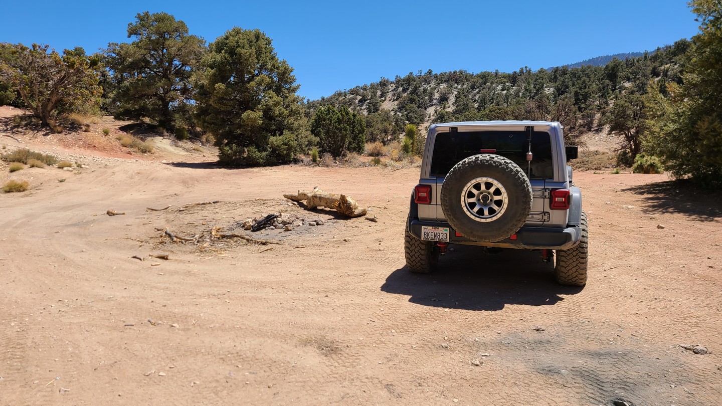
More camping can be found here that can accommodate two to four vehicles. More remains of the mining operations can be found when walking around.
18. Lone Valley Mining Area and Rose Mine - Stay Straight (10.63 mi)
Rose Mine was the most productive mine producing between 600,000 to 1.2 million dollars in the short 20 years it was mined. Several minerals and metals were mined here, including gold, calcite, cuprite, galena, quartz, malachite, and hematite. Interestingly, there are virtually no remnants of the mining operation and 40-ton stamp mill used for crushing the ore from the mine. The only clue that there were ever any mining operations in the area are the piles of the cyanide leaching heaps (red tailings) all over, and these tailing's are also how the mine got the name Rose Mine. This mine was originally named the “Homestake Mine” in 1887 when it opened, but in 1889, it was renamed the Rose Mine.
19. 2N01 - Continue Straight (10.79 mi)
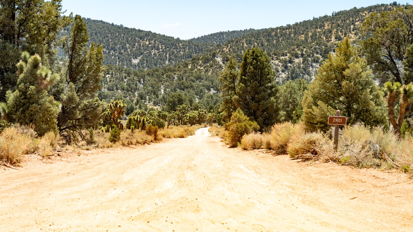
Continue straight there through beautiful Juniper and Joshua. There is also camping just to the north of this intersection with 2N01- Broom Flat.
2N01 is a great trail for a beginner looking to explore this open area or a great connector for more advanced wheelers looking for a quick heartbreak Ridge or Tip Top Mountain route. 2N01 - Broom Flats can be run as an out & back or a connector to the many other off-road trails in this area.
20. Mine Tunnel - Stay North (11.03 mi)
Continue straight here or take the short diversion to an old mine tunnel that was once part of the Lone Valley and Rose Mine Complex.
21. 2N90 Tip Top Mountainn and 2N02 - Stay South (11.59 mi)
Continue straight across the valley or take the out and back to Tip Top Mountain. Tip Top Mountain was home to silver, lead, and gold mines back in the late 1800's up through the early 1900s. The name of the mine changed a few times over the years as the mine switched hands, with the earliest name being Tip Top Silver Mine. Today you can still find the mines throughout the area, but many are unsafe to explore, and the Forest Service has blocked many of the mine entrances. The top of Tip Top Mountain has a 360-degree picturesque view, with diverse scenery ranging from the sun-drenched desert landscape to the lush and snow-capped mountains of the San Bernardino National Forest. Tip Top Mountain is just one of the many trails you can venture upon on what locals call "the back way to Big Bear," and it truly is a gem. So, indulge yourself in the beautiful scenery, weather, and trail systems this area provides.
22. Unknown Trail - Continue Straight (11.82 mi)
Continue straight. The unknown trails are not numbered and do not appear on the MVUM.
23. 3N03 - Stay Southeast (11.94 mi)
Stay to the southeast to follow Burns Canyon. 3N03 - Smarts Ranch is a moderate trail leading into the heart of the forest. There are not many side trails off of Smarts Ranch Road, but it does paint a beautiful picture of the lush green forest, as well as beautiful sunsets and sunrises in the early morning and evening hours.
24. Unknown Trail and Camping Spot - Continue Straight (12.94 mi)
A nice shaded small campsite exists and can hold a group of two vehicles. The ground is not completely flat, but the shade is welcome. The unknown trail does not appear on the MVUM, nor is it signed.
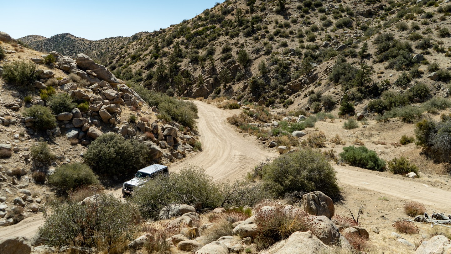
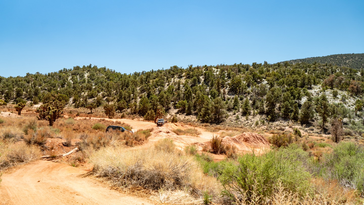
25. Obstacle Rocky Hill Climb West Half of Trail - Continue Straight (12.8 mi)
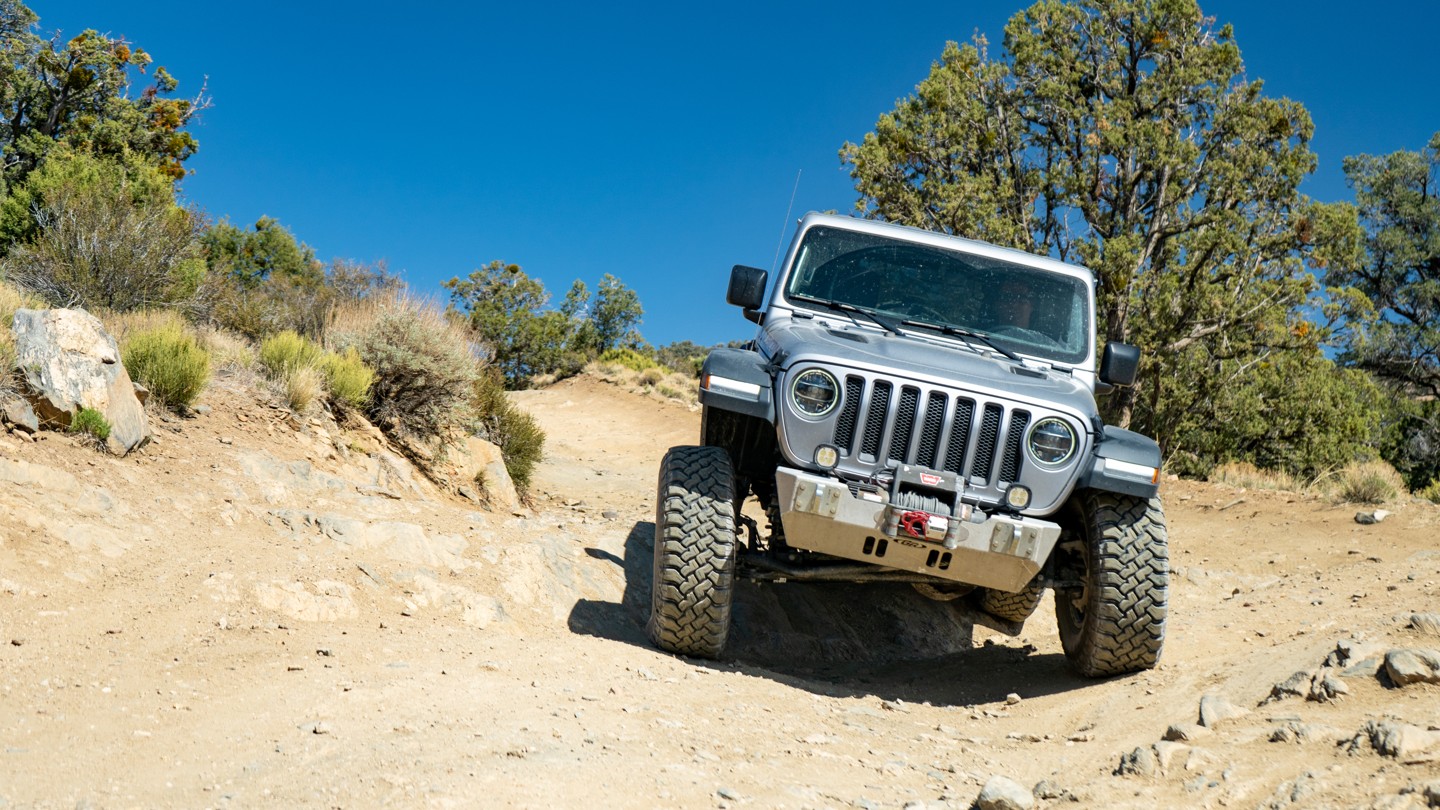
This is the most difficult section of the entire route. A stock SUV will have no problem with this section in dry conditions. Traveling uphill may pose issues in wet weather.
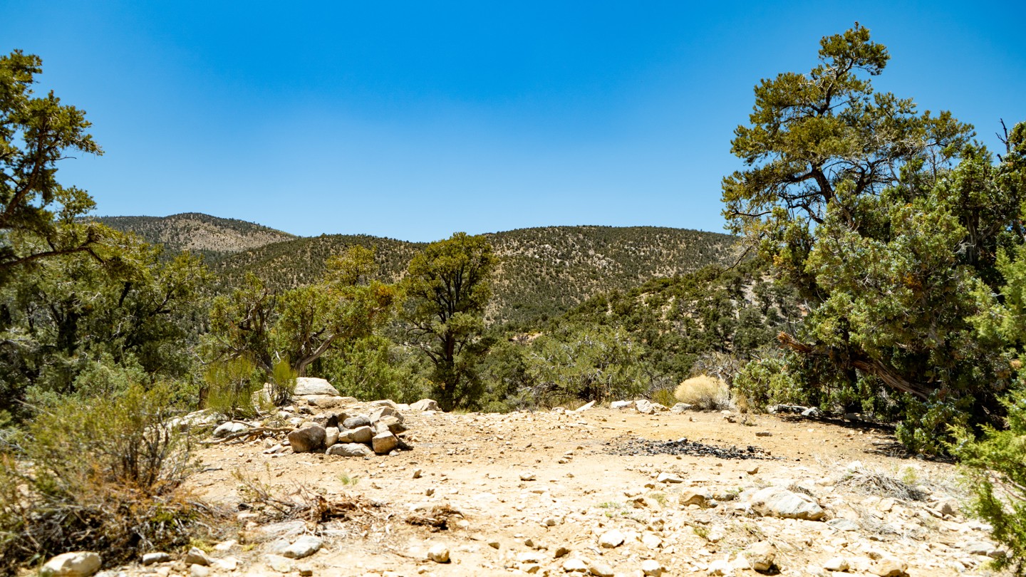
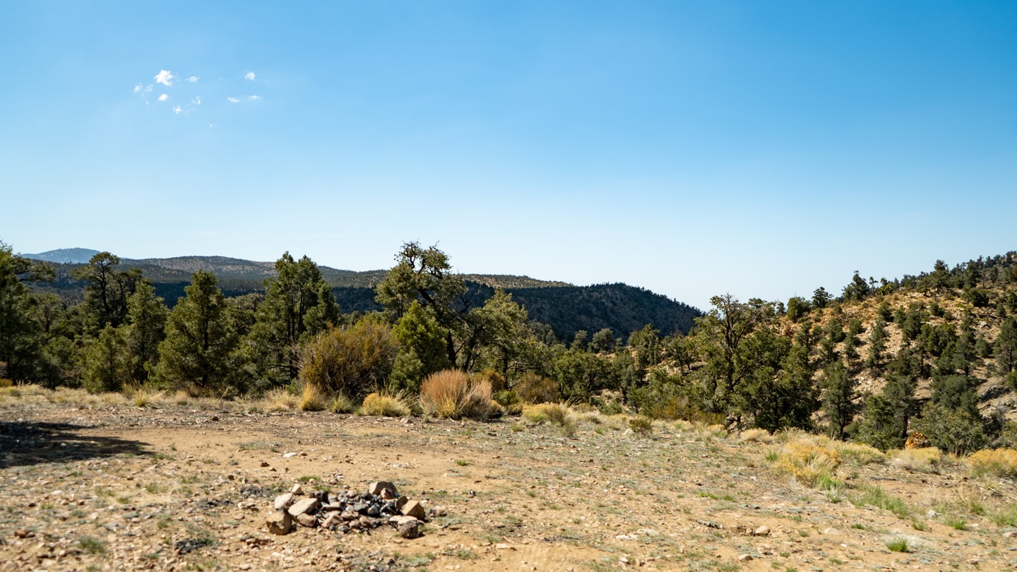
26. Epic Overlook Camping Spot - Continue Straight (13.81 mi)
Rocky, but potentially the largest and nicest site with a view. Be sure to have a rooftop tent or a cot at this location, as the ground is rather rocky. This can hold 4 to 5 vehicles.
27. Arrastre Creek and Redwoods - Continue Straight (14.31 mi)
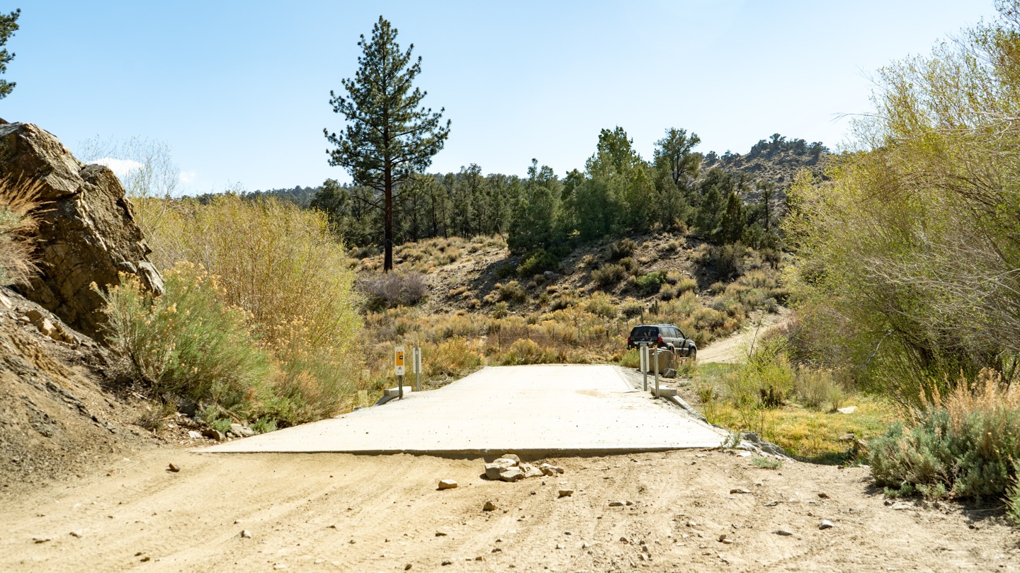
A couple of miles outside of Baldwin Lake, a concrete bridge crosses the Arrastre Creek. This section of the trail use to be a shallow water crossing, but the Forest Service has since built a bridge to keep rigs out of the water. The creek or stream now stagnates with no fresh running water due in part to the mountain's not really getting any snow this past few years. You will also notice Redwoods in this particular area that really stand out amongst all the other trees experienced along the route.
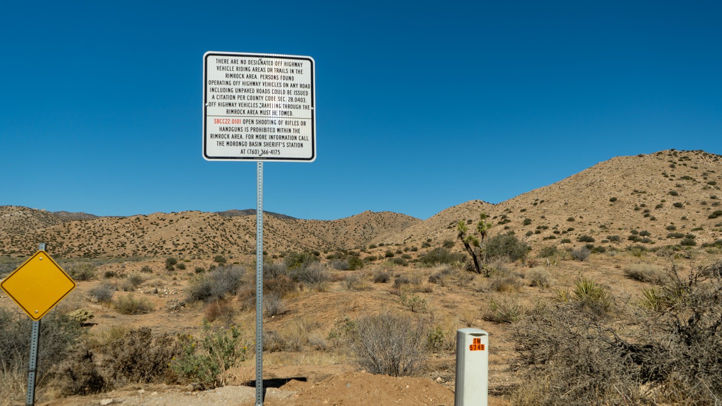
28. Legal Shooting Area - Continue Straight (14.68 mi)
If shooting is your thing, this is the designated location along the trail.
Please check with the Ranger Station first before using the area to ensure the area is open to use and the fire danger is low.
29. Camping Spot - Continue Straight (14.89 mi)
A very small location directly off the road exists for camping in a pinch. Several tents can fit into the location, but vehicles will have a huge impact and should not drive off the route.
30. 2N87 - Stay North (15.7 mi)
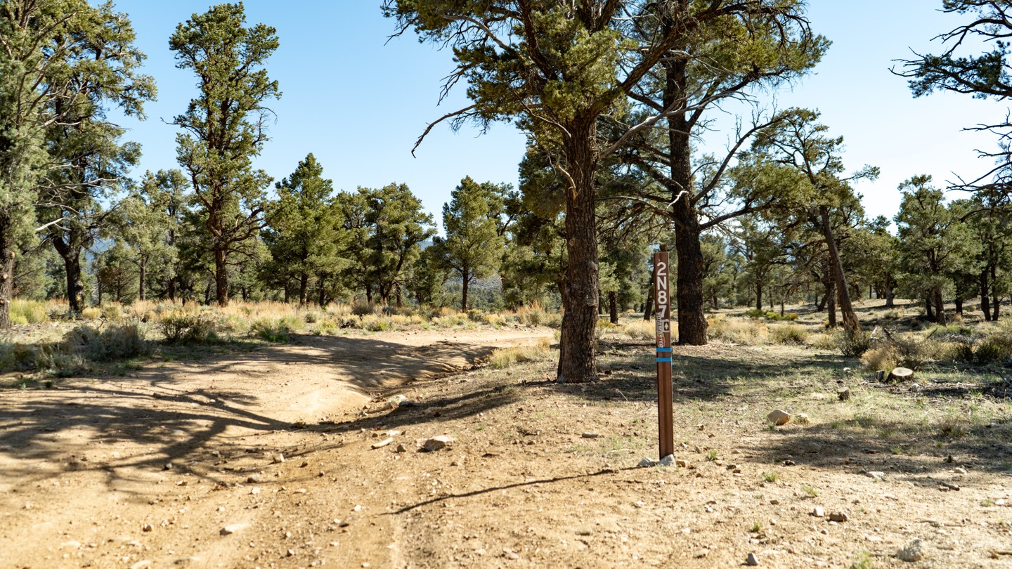
2N87 connects all the way down to Erwin Lake. Stay straight on the main road to continue this route.
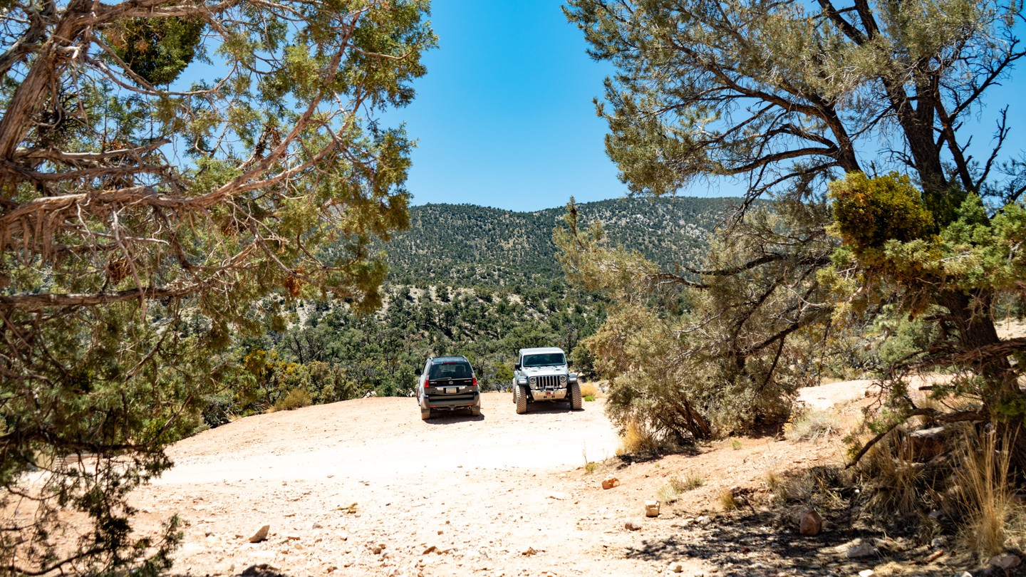
31. Western Trailhead for 2N02 Burns Canyon (19.06 mi)
The trail ends abruptly in a residential area. There is room to pull off the road and air up.
Dispersed
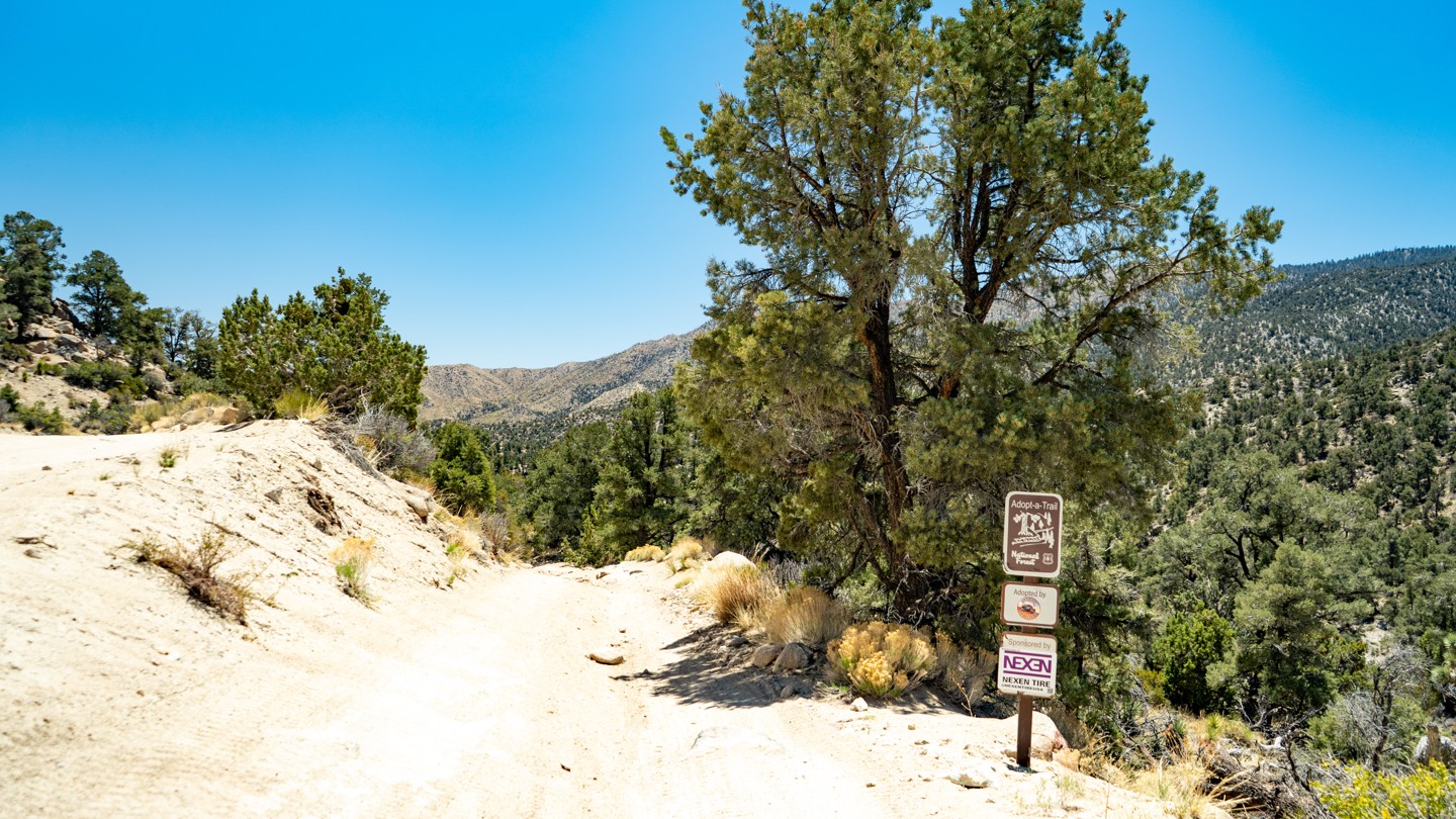
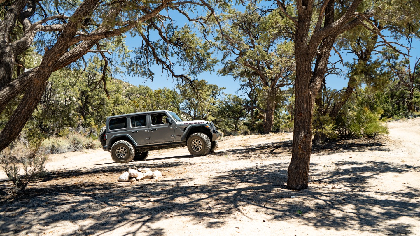
Dispersed camping is allowed throughout the San Bernardino National Forest, and this trail has several good options. Look to Waypoints 7,16,25, and 26 for great options. As always, open fires are dangerous and are rarely legal in the San Bernardino National Forest, so be sure to check the local fire regulations before heading out for a night of camping. As an alternative, a propane campfire is often legal in the forest. But it is still best to check with the forest service and see if a permit is required or if it falls under fire restrictions. There are no facilities along this route.
If tent camping isn't your thing, both Big Bear Lake and Yucca Valley have many hotels and places to park RV's to choose from.
Please pay attention to the weather as it can be extremely different and even life-threatening between the two locations.
Starting Point
Pioneertown, California
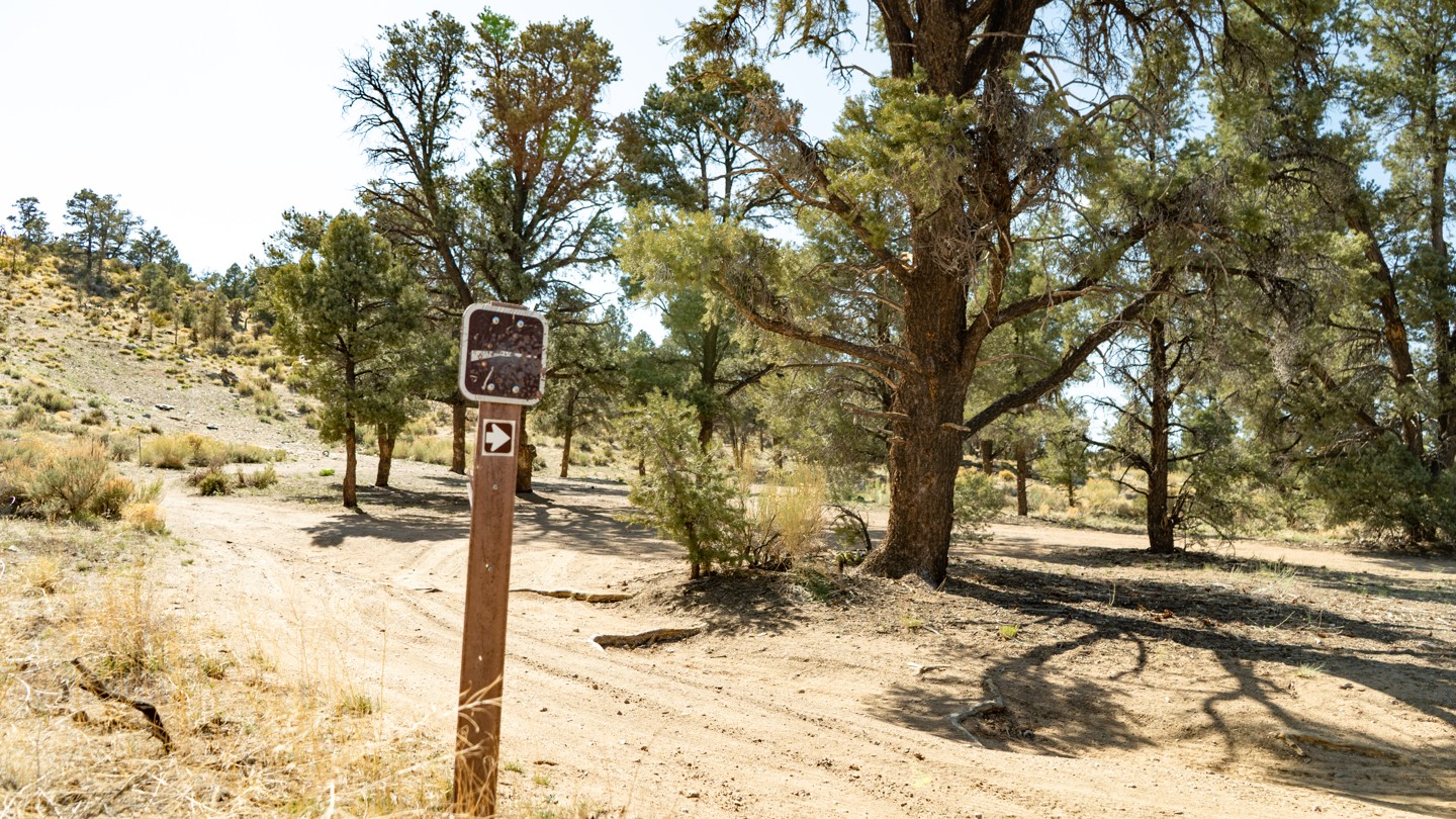
Travel north on Pioneertown Road until it becomes Rim Rock Road. Follow Rim Rock Road until it crosses Burns Canyon Road, turn left off of Rim Rock Road onto Burns Canyon Road. Burns Canyon Road becomes an unpaved dirt road. Continue 8 miles on Burns Canyon Road, and you will reach a small wooden sign marked with 2N02. This is the true trailhead.
Trail Reviews
4.8/5 (68)
Temporary Closure
Visited: 03/18/2023
The forest service has deemed the San Bernardino Forest unsafe for public off-roaders to use until June 30th.
For more information on this:
https://www.fs.usda.gov/Internet/FSE_DOCUMENTS/fseprd1095216.pdf
If you disagree with the complete forest closure, please call (909) 382-2682 and ask to speak to the head ranger.
You can also contact the head office in Washington,DC, and voice your concern there. (202) 912-7055
Another person you could contact your senator and express your feeling - (949) 598-5850 (Alex Padilla) or (202) 224-3121 (DC switch board)
If you are unhappy with this at all, please make sure you sign up for the local off-road collations (Cal4wheel, and Corva). Feel free to reach out to them and ask what you can do.
Cal4Wheel - (916) 381-8300
CORVA - 916-710-1950
Open
Rated
5/5
Visited: 01/07/2023
Difficulty Accuracy:
Harder
Great trail for people new to off-roading/wheeling, though the rain and snow has bumped the difficulty up a bit. In it's current state, I'd say 4 wheel drive is required, and clearance is a necessity. We started from Pioneertown just behind Pappy and Harriette's and ascended to Big Bear. My buddy's stock Tacoma TRD Pro was able to keep up with my Rubicon without an issue, though anything less would have struggled, if not failed to reach the end. The views are exceptional, and the changes in geography and altitude make for a truly surreal experience. Definitely recommend, just come prepared with recovery gear and traction boards if you are making this run in the winter!
Open
Rated
5/5
Visited: 11/19/2022
Difficulty Accuracy:
Spot On
Started this one in Big Bear. Nice views and plenty of room to pass vehicles almost the entire way. Next time going to do Sidewinder and Tip Top.
Definitely easy with a lifted JL on 37's, but I agree with some of the other comments that state some sections are a little more difficult since the recent rains. These will likely fill in over time as people find the new line through those sections.
Open
Visited: 11/07/2022
Difficulty Accuracy:
Harder
Ran this at night, north to south, with a stock 2008 Porsche Cayenne with ride height adjustable air suspension on oversized 31" all terrain tires. Since it was dark and we were just trying to make it home through Yucca Valley, I can't make any comments about the scenery. Trail rating needs to be bumped up to 3. There are sections rated 2 but quite a bit of exposed rocks to crawl over that require a little bit of clearance and make for a bumpy ride. I used to drive this road all the time in the late 90s and early 2000's. At that time it was mostly difficulty 2 with maybe a few sections of 3. There is a lot of historical mining activity that took place in the Rose Mine area but also on the offshoot trails like Heartbreak Ridge. If you've got the time, curiosity, and willingness to stop the vehicle and hike around, there are mining holes and remnants all over the place.
Open
Rated
5/5
Visited: 11/06/2022
Difficulty Accuracy:
Spot On
This was a great trail to take and make a great day with the family! We started at Pioneertown and made our way through. We went after recent storms and am not sure if that created new obstacles for AWD CUVs, but we definitely were challenged in a few spots. Nothing we couldn't get through, but with one very novice driver it made for some tense moments. Remember 4wd Rating of 1 equals AWD CUV rating of 3, and it multiplies from there. Lots of skid plate and poor approach/departure angle scrapping, but nothing to worry about. Waypoint 25 offered a chance to lift a wheel on the crossovers, but 4wd truck or SUV should have more than enough articulation. Scenery is beautiful and so much to explore. We will certainly be back!
Open
Rated
5/5
Visited: 09/24/2022
Difficulty Accuracy:
Spot On
This trail was a nice trail to spend a few hours on and you can definitely get any 4x4 out here. The selection of trails you can take are great and leave options for most levels of drivers. I would defintely suggest spending tow full days out there to hike and explore connected trails.
Open
Rated
4/5
Visited: 08/27/2022
Difficulty Accuracy:
Harder
Started in Pioneertown and went all the way to Lake Baldwin. While the trail still falls within the Easy category, I'd give a few spots a 3 instead of a 2. Rain has washed out a lot of dirt and has created some deep ruts and exposed a lot of rock. I was driving a Bronco Sport Badlands with 8.8 inches of clearance and there were two spots that I needed every bit of it. You will come to a few places where you'll need to pick your line carefully and there are some very long patches of exposed rock that will make for a very bumpy ride. There are also a couple of small sections of the shelf road that required a line that put my vehicle 12 degrees off camber which isn't a whole lot but could be disconcerting for someone that's afraid of heights.
All that said, the vast majority of the trail is very easy and comfortable to traverse with mostly hard packed dirt and the occasional small rock poking through. Any stock AWD SUV should have no real problem driving the trail nor should any 2WD truck with a bit of clearance. If you're willing to bang up your undercarriage you could probably make it in your 2WD minivan but I highly doubt you'd enjoy the ride. When trying to decide if this trail is for you prioritize clearance over off-road capabilities. While I drove the entire trail in 4WD I never felt the need to lock the rear differential or drop it into one of the GOAT modes like Rock Crawl. As long as it isn't raining I doubt very much that you'll end up getting stuck.
The trail itself is very scenic and there are a couple of spots that provide great views. There are also plenty of places to camp or just stop and take a break along the way. This trail makes for a great little day trip from the desert floor into the mountains of Big Bear.
Open
Rated
5/5
Visited: 08/27/2022
Difficulty Accuracy:
Harder
Picked up this trail from around waypoint 6 coming out of Rattlesnake Canyon. Overall the trail is not terribly difficult or technical but I think it deserves a difficulty score of 3 not 2. There are a few sections where the trail is very rocky, rutted or washed out, requiring a little extra attention to navigate. Long stretches of the trail are quite rocky (making for a bit bouncier ride) but not requiring any special skill or equipment to navigate. I ran in 4h or 4l In a jeep with 32” tires and a small lift, this set up provided plenty of clearance and capability to easily handle what the trail threw at us. Perhaps a better equipped vehicle would cruise this trail as if it were nothing at all. While stopped for lunch (waypoint 16) we saw what looked like a dodge caravan racing along the trail so clearly those ‘difficult’ spots I mention are not THAT difficult if you pick a good line and go.
There are some great views to be had and other things to see/explore so the trail is definitely worth running (you really should dip into rattlesnake canyon (at waypoint 6) a bit to see the Joshua’s and spring(s) if you aren’t in a hurry. We took our time and stopped to eat lunch and explore a few spots and it took us about 3 hours (from waypoint 6 to end).
Open
Rated
5/5
Visited: 08/06/2022
Difficulty Accuracy:
Spot On
Excellent scenic route from Rimrock just outside of Yucca Valley to Baldwin Lake in Big Bear. Lots of great views. Any AWD SUV can take it, although you'll be more comfortable if you have at least some clearance and decent tires. 2WD pickups shouldn't have any trouble. There are only a few spots that might require thinking about your line. Great little day trip and a lot of camping along the way.
Open
Rated
5/5
Visited: 06/18/2022
Difficulty Accuracy:
Spot On
Great rating for this trail, only thing to mention would be its rocky, more than expected but not big boulders, just mostly chunky softball size rocks and some areas to feel good about tire placement but not technical by any means.
Scenery and change in topography was very cool, great spots to pull out our picnic and have lunch with the kids.
Open
Rated
4/5
Visited: 06/13/2022
Difficulty Accuracy:
Spot On
Took this from Joshua Tree into Big Bear; Simple and scenic ride; kid and wifey loved it. Aired down to 20psi just to make it more comfortable; kiddo slept first 25% of the trail lol. 2H the entire time except a couple spots I flipped to 4H just to help the rear diff. Otherwise pretty nice scenery; especially once you hit the reddish dirt and pine trees. Fun family run and nice way to get into Big Bear area.
Open
Rated
4/5
Visited: 06/12/2022
Difficulty Accuracy:
Spot On
Took this trail from Rimrock/Pioneertown up to Baldwin Lake (...and continued on 3N16 doing that whole trail). Great scenery and an easy road with a few somewhat challenging spots. Took a person who had never driven their Jeep on off road terrain... she loved it. Took a guy with a stock Tahoe, he loved it. Took someone with a slightly lifted KK, he loved it. So... we loved it. Good times, and amazing scenery.
Open
Rated
5/5
Visited: 06/09/2022
Difficulty Accuracy:
Spot On
Great day run trail. Started in Pioneertown with tacos and beer at the Red Dog Saloon, ended in Big Bear with pine trees and a lovely lake view. Lots of Joshua Trees (more here than in the National Park!). Definitely an easy trail, more bumps than a 1, pretty much a spot on 2. You could probably get through it just fine in your Subaru.
Open
Rated
5/5
Visited: 04/14/2022
Difficulty Accuracy:
Harder
Joshua Trees, Juniper, Redwoods, Snow and Sand? Much more dramatic landscape than anticipated. Surprised by how rugged the trail became at times. Watching the TOR youtube made me feel like it would be a smooth and gradual incline but camera angles are deceptive. My wife and I thought it was more "moderate" than easy compared to other trail ratings. We're in an older 4 cylinder Toyota pickup (no power) so having 4low was nice getting up some of the steep rocky sections. Kids loved exploring rock formations at the Heartbreak Ridge junction waypoint 9 (lots of broken glass and bullet shells beware). Camping in such dramatic scenery and isolation was a real treat. Breakfast at Grizzly Manor was great! Still lots of snow laying around. Hit the tidepools and seal watching later that day to round out the Socal experience. Pioneertown was cool too.
Open
Visited: 03/20/2022
Difficulty Accuracy:
Spot On
Excellent trail to get away for the evening. Nothing to technical so if you have anyone just beginning or curious and want to try off-roading this is a great place to start. Mix in pioneer town and some time at big bear once your done and you've carved out a fun trip to recharge in time for Monday.
Open
Rated
5/5
Visited: 12/17/2021
Difficulty Accuracy:
Spot On
Burns Canyon is a regular for us. We pair it with Rattlesnake Canyon and mostly as a night run on Friday after work to end the week. It is a straight forward, mostly just dirt road, but there are some spots where a steeper incline and small ledges might be intimidating for a new driver or anyone that doesn’t like heights (like my wife haha). There are also a couple of spots that are getting quite dug out and could almost waterfall be considered a waterfall, so good tire placement is important as they are also on the shelf sections. Don’t forget to play on the playground where the red dirt creeps in and keep your eyes open for a ton of connecting trails and offshoots. I would mostly agree with the trail rating but do feel it’s beginning to push more towards and 2-3 with the wear it’s taken this year.
Currently the trail is covered in snow as you begin to ascent from the desert. Started about a mile in from Rattlesnake so we turned around to avoid any possible icy shelf roads. So use caution and be prepared or turn around and go back out the way you came in.
Open
Rated
4/5
Visited: 11/25/2021
Difficulty Accuracy:
Spot On
We drove it from Pioneer Town to Baldwin Lake, and then actually crossed the highway and went over and took 3N16 to Van Dusen and our cabin on Thanksgiving Day, 2021. There was no trail traffic, none.
The original posting is very accurate regarding current conditions and I agree this is an easy trail. Somebody posted it could be done in two wheel drive and that's probably true. All you would have to goose it a few places. We used our 93 Trooper and just crawled through everything. No problem at all. A very nice drive, good directions.
Open
Rated
5/5
Visited: 11/20/2021
Difficulty Accuracy:
Spot On
Last time I went up was in my completely 2019 JL. There's nothing particularly challenging. But it is a nice drive.
Now I have 35s and a 3.5" lift and most importantly -- in my opinion-- sway bar quick disconnects. I got a chance to play around in the red mud hills a little this time.
We turned off onto the Lake Erwin trail and skipped the less interesting parts of Burns as you head down to Baldwin.
My brother's electric Sahara did most of the trail on battery alone.
Open
Rated
5/5
Visited: 07/19/2021
I ran the trail east-west from Pioneertown to Big Bear and it was amazing! Maybe not the most comfortable during the summer - 90F and no aircon, but beautiful nonetheless. From the arid hills and the canyon at the start, to the avenue of Joshua Trees and bristlecone pines, and the semi-welcome sight of civilization (and the promise of a cold beer), this has been one of my favourite trails so far!
It took me just over 3 hours including stops at some of the mines. I did all of it in 2WD in my XJ (3" w/ 31's aired down to 20# and loaded down with overlanding gear), although I basically let the vehicle creep in 1/2nd gear up all of the rocky hills to save wear on my suspension. It's rated as easy, but good tires are necessary and caution is needed if you drive a stock height vehicle. Not saying that it can't be done, but I think you'll be more at ease if you have an extra inch or two. A majority of the trail is rocky (nothing crazy, but go slow and save your tires) and the hills can be challenging if you pick a wonky line. I usually go out by myself so I'm overly cautious, but if you have a buddy with you and you'd like to have some fun, the area around Rose Mine has a few hill climbs and woops that look like a great time for a properly equipped rig!
Open
Rated
5/5
Visited: 06/01/2021
Fun trail from Big Bear to Pioneer Town (or vise versa). Some mildly challenging spots, but no real need for 4-wheel drive, just some clearance. A stock Land Rover Sport followed us down without any issue. A few offshoots to play around on, and some mines to explore. Great views and variety of scenery. We caught a glimpse of a young buck running across the trail in front of us closer to Pioneer Town (5:10 in the video). Took us under two hours to complete. Take the time to walk around Pioneer Town before or after, depending on start/finish, it's a pretty cool place and still an active movie set.
A few sections of the trail to give you an idea. *Video is actually HD, but seem to be getting some distortion between the camera and windshield?
Open
Rated
5/5
Visited: 01/12/2021
Easy trail in our 3rd gen Tacoma TRDOR w/2" lift and 33 MT's. Ran with some friends with a mildly-lifted JKU and a full size Dodge 2500. No issues, plenty of scenery and pull-outs to enjoy some drinks along the way. Such a great experience running from high desert to Big Bear and noticing the geography, flora and fauna change when passing through different biomes.
Open
Rated
5/5
Visited: 01/01/2021
Very cool trail. It was fun going from desert all the way into snowy mountains. Even with recent snow, the trail wasn't too challenging, just a few rocky sections that required us to slow down a bit. We also saw four wild Burros just hanging out on the side of the trail.
Open
Rated
5/5
Visited: 08/25/2020
We entered at Baldwin Lake on our way to Rattlesnake Canyon Rd which is way point 1 on the map. Hikers and 4wds in both directions on this road. Long sections of exposed rock will prove right your decision to air down. We stopped and looked for evidence of the Old Pontiac down the hills but it was cleaned up nicely it appears.
Open
Rated
5/5
Visited: 08/22/2020
AWESOME route to get to Big Bear! I took my dad to PioneerTown for a cat fish sandwich and a beer and Pappy and Harriets and set out for some fishing up in Big Bear. FYI, cell service for verizon right in that area sucked, and maps wouldn't load. Thankfully I had my little external gps antenna and got right to the trail head with no issues. This is as easy of a trail as it gets I think. No worries on anything there. Saw some boneheads though man, damn UTV's going WAY too fast. Some really beautiful scenery. I've never seen so many Yucca Trees! Some of the views are pretty awesome, with some really cool rock formations and the yucca trees. There are also some pretty neat properties along the way. It got me thinking, who the hell is living out there and what do they do??? Haha. Seriously though, it was a rad adventure. We hit the "sidewinder canyon" on the way up too, careful if you veer off the main burns canyon road as that sidewinder trail is no joke and gets real rough real quick.
Open
Rated
5/5
Visited: 08/04/2020
This trail is the top of our list to take visitors to display the variety of California landscape. We went in a direction opposite of the TOR map. Coming down from the dense pine trees of Big Bear we drove through Joshua Trees sharing the land with Pine Trees then all out Sonoran Desert. I thought the topography and scenery through it all was beautiful. Even after the TOR trail description ends (begins in my case) there are still miles of dirt road and I still very interesting geography and scenery. Homes, some hovels some nice, dot the area after the trails end. Its interesting to see how they live. They appear to have water delivered and providing their own power. At 100F no one was outside. The trail was easy with several opportunities to try other more challenging routes or just play areas. One I remember 2N70Y is Forest Service rated Black Diamond (its on TOR). Around the mining areas there are huge reddish tailing mounds that have become play areas. The old Pontiac mentioned in the report at waypoint 3 is gone. The heavy gates blocking mine entrance and warning signs we could not find and we even doubled back to check again. These must have since been removed. A closed off mine entrance was visible from the road. Interesting within this mine entrance was a Joshua Tree taking hold.
A top tip: Print out the TOR map and waypoints and bring it along. My wife very much enjoyed tracking along and read the descriptions at each waypoint. Kudos to the author for putting in putting in the time to research and provide interesting descriptions of the mine area.
Open
Rated
4/5
Visited: 07/15/2020
I ran this trail from Big Bear to Pioneertown which seems to be the opposite direction of most, but it was just as fun. I had zero issues with the trail in a FJ Cruiser TTUE, and I would probably rate it closer to easy than moderate, but that might be my rig and/or the direction I ran it. I watched a few YouTube video's before I went and saw plenty of Subaru's doing it without issue, save for a few rocky parts on the trail it's pretty easy. There's a fun spot between waypoint 5 & 6 with red/pink dirt with a bunch extra credit mounts/hills that can be a lot of fun for a more capable lifted/4x4 rig - proceed at your own risk. As long as you have some decent ground clearance and some A/T tires you'll be fine on 2N02. There's nothing exciting in the way of views, lots of desert and Joshua trees. P.S., Unless I'm blind, the old Pontiac at waypoint 2 is now gone.
Open
Rated
5/5
Visited: 07/01/2020
Great trail. I drove it in my tundra, a few sections were somewhat narrow, but nothing to worry about. It took about two hours flat; however, I wish I took a little more time to get out and hike around some areas, maybe try to find some old mines.
Open
Rated
5/5
Visited: 06/25/2020
We started from Pioneertown and ended at the lake. I really liked the trail. There was not a lot of traffic but probably because it was a Friday. The trail is considered moderate, but I had no problems whatsoever in my Ram and kept it in 2wd the whole time. I was with a stock 4 Runner and he had to be careful about clearance issues in certain areas. Would love to do when it's a little wet because it seems like there would be a lot of water crossings. I actually like this one more than Holcomb Trail, 3n16. Instagram@RamUber1500
Open
Rated
4/5
Visited: 06/17/2020
This is a nice trail that takes you through some beautiful areas and I think the 3 rating describes this appropriately. It's a relatively popular trail and I came across what looked like a club outing of about twenty or so Jeeps. Aside from that there were five or six other smaller groups. As the description states, the mines can't be explored which is unfortunate and makes this less of a get out and explore trip and more of a point to point traverse. Seasonally, I can imagine a couple stream crossings that would introduce some water element, but the trail was completely dry when I did it. That all said, it's a very pretty drive and the isolated camping potential would be awesome especially if you want to avoid the camping zoo of Holcomb Valley.
Open
Rated
5/5
Visited: 05/24/2020
Wonderful trail that had light traffic on Memorial Day. Air down is a must as there are sharp rocks around 34.228173, -116.675233. This is where I had a flat on the uphill climb with aired down tires at 25 psi front/back. Once tire was replace with spare, I aired down to 18 front/ 20 back it was fine for the remainder of the trail.
Open
Rated
5/5
Visited: 02/17/2020
Vehicle: Stock 2020 Tacoma - 4x2 - TRD Off-road.
Took my Tacoma all the way through from Rimrock to Big Bear and was a fantastic ride! There was still a little bit of snow as we neared Big Bear and the run off made some spots muddy but still very doable. There were a few spots that were rocky but my ~9 in. clearance cleared all rocks no problem. Lovely scenery, tons of Joshua trees and solitude.
Open
Rated
5/5
Visited: 12/28/2019
Pretty fun trail in the snow. There were lots of people out and some sliding around and getting stuck. We didn't have any issues except waiting for other people. Weather was great with fresh snow on the ground. Pictured where we pulled to the side to let some downhill traffic go by us.
Open
Rated
5/5
Visited: 10/08/2019
Another nice drive, been doing this for a few years now. Just a few areas where you need to be careful with the line driven, but anyone w 4x4 and moderate skills can do it. But low clearance is not advised for those areas.
BTW, if you don't know what a 3 diamond symbol stands for, then learn the system, and stick to blue ones...
Stay on the main trail w- blue markers...Met someone w/ a device considering a side trail listed. Not smart...
Open
Visited: 10/04/2019
Great trail from the desert up to big bear. Perfect for beginners like myself nothing to challenging a couple of steep rocky hills I didnt go to 4 low at all I think a two wheel vehicle with a good driver can make it no problem in the no snow months I have ran this in the winter before a slippery in the snow and ice but still very doable
Open
Rated
5/5
Visited: 07/06/2019
Ran this trail for the first time today, from Pioneertown to Baldwin Lake. Absolutely loved it. Incredible transitions from Joshua Trees to scrub pine to full size pine trees and mountain views. By far the prettiest terrain I've seen in the greater Big Bear area. Highly recommended. Thanks for the excellent trail write up.
Open
Rated
5/5
Visited: 05/05/2019
fun weekend on burns canyon trail pretty easy 2wd doable just stay on the burns canyon trail. if you are entering threw pioneer town you will see some signs saying next 10 miles private property just keep in mind the respect for others and there homes keep the speed down till you hit the trail point just look out for the mountin lion direction sign and then you can go nilly willy. when on burns canyon there are a few other trail heads that you will see on this trail just know that some of those trails can be pretty tough so if your not preparied to handel a trail of that level you may find your self in a sticky situation. when on the trail between point 2 to almost three you will find your self in a sorta split point two paths one that goes up a moutian and the other sorta going down the first time taking this trial it was little tough trying to figuer out which way to take to stay on the path. just know to stay on burns canyon trail split right and go up the mountin its just a little rocky. if you do decide to go left at the split you will be starting (2N70Y) sidewinder trial it will meet up with burns canyon trail just note the trail is pretty crazy 4wd was used and higher clearance is diffently something i would say you may want to have to avoid damages to your rig. so stay to the right and you sholuld be good take your time on this trail and enjoy the views there is alot of good spots you can bunker down for a good lunch. this trial is well traveled both times i have been on it i have seen more then 6 groups doing this trail so just keep in mind there will be other people out there so approach all blind turns with caution. other then that this trail is really fun and is one of my favorites by far .
Open
Rated
5/5
Visited: 10/20/2018
For a beginner this trail was very exciting. I was driving a 2015 Jeep Wrangler Unlimited Sport all stock. Drove from East to West. There were some parts that were rocky but for the most part it was dirt roads. Unfortunately we did not come across the Pontiac. Very nice trail especially when the weather is cool. It would be great to come back when the snow falls.
Open
Rated
5/5
Visited: 10/14/2018
We had a great time on this trail. Good for beginners, as others have said...nothing too technical, but definitely not a boring drive. We were fine in a stock R50 pathfinder and tacoma 2wd with the sport package. Beautiful views, with a nice transition of vegetation, from desert to joshua tree to juniper/pinyon pine to some montane pine. We missed the turnoff for the mine, but did make a few stops to take in the view. I'll definitely take this route again, and hopefully build out my vehicle to handle the more challenging connecting routes. Definitely keep an eye out for dirt bikes and mountain bikes...most of them seemed to be taking the west-east (downhill) direction, at least around midday.
Open
Rated
5/5
Visited: 08/07/2018
This is a great trail for spending a long and lazy day driving from the desert up to Big Bear. The scenery is spectacular and the changes in the fauna are cool. Take the top off the jeep, bring along a big picnic lunch and a full cooler, and drive up with your favorite girl. The side trails are very interesting, too, if you're not in a hurry.
If you're feeling really adventurous, there are a couple of outdoor shooting ranges (Arrastre #1 and #2) along the way. Bring your firearm and know the rules of outdoor ranges!
Final point. This road is used by some as a "highway" from the desert at Yucca Valley to Big Bear. Hard to blame them, if you have a 4WD vehicle it is far shorter than using the numbered highways. Just don't be surprised if someone passes you in either direction at 30-40 mph.
Open
Rated
5/5
Visited: 06/10/2018
I did this trail in a stock height Subaru Crosstrek with a cut bumper for approach angle. Never had to get out for spotting but some parts had to think which line is best. The trail itself is a beautiful drive from the Joshua Tree forest in the desert to the mountains at Baldwin Lake. This is in my top 5 trail favorites.
Open
Visited: 03/31/2018
Ran this trail in stock height Tacoma TRD 4x4OH and Chevy Colorado Z71 out and back starting at Pioneertown. What a fun trail this was! Beautiful views to go along with a trail that takes you through sand, rocks, ups, downs, and all arounds! I firmly believe this trail is a 3 due to the frequent sections of rocks and ruts. Never had to get out and spot and never had any issues with clearance for being in stock height trucks, but did have maybe one or 2 sections that initially looked a little sketchy. Just for fun, we did the trail back from Big Bear to Pioneertown in 2wd drive and never even struggled. Sure it wasn't the easiest or smoothest ride, but it was very manageable if you know what you're doing and have sufficient clearance; just be careful of the narrow roads and cliffs! Also, don't forget to stop by historical Pappy & Harriet's for a beer before heading back home. Check out the video for footage of our entire run up to Big Bear.
Open
Visited: 03/29/2018
I did this from Baldwin lake to Pioneer town and I agree with the other comment about the recent rains making this trail a little harder.
I have a 4wd crv and there were a few spots (uphill rocky and rutted sections) that I got lucky with the line I chose.
Overall this is a fun trail, I started on the west end of 3N16 and continued to 2N02 into Yucca Valley.
Open
Visited: 03/24/2018
By far one of my favorite runs. Amazing scenery with the transition from high desert to the high country. However I would consider this trail a 4 minus. Due to recent rains/snow washouts, as of March 2018 there are a few rocky areas that are very unlikely with a 2WD (stock) vehicle going up from Rimrock. If you're running from Baldwin Lake there are a few rutted steep-ish hill climbs that are pushing the limits of 2WD as well.
From the Community
Be the first to ask a question!
Josh Noesser
Mapping Crew - California
Joshua Noesser grew up in Southern California but has lived in different parts of the country during his young adult life. Josh was first turned to four wheeling when he road with one of his friends dad up Surprise Canyon in the Panamint Valley at age14. After nearly 3 different roll overs later and a half dozen intense waterfalls, Josh was hooked. At 16 he purchased his first Jeep a CJ 7 and by 17 was putting his first locker in it.
Currently, Josh is the owner and CEO of Nybble, an IT Solutions Company based in Orange County, California. Nybble isn't your normal IT company where everyone stays in and plays video games. Nybble's average company trip is out on the trails since a good amount of his staff enjoy wheeling too. As Josh likes to say, he offers the only IT Company with the ability to provide services in extreme locations. "If you want a server at the top of The Hammers, we will take care of that for you."
Today you can find Josh out on the trail behind the wheel in one of his three different off-road vehicles. See the vehicles below for more information.
If you ever run into Josh, please say high, he is a very friendly person and is always happy to have a new person join the group.
Visit Profile
Start a free trial and get this level of detail on every trail
guide
Start Free Trial
Print Trail Guide
Purchase
Company
Community
Recent Updates
By clicking "ACCEPT", you agree to be the terms and conditions of each policy linked to above. You also agree to the storing of cookies on your device to facilitate the operation and functionality of our site, enhance and customize your user experience, and to analyze how our site is used.