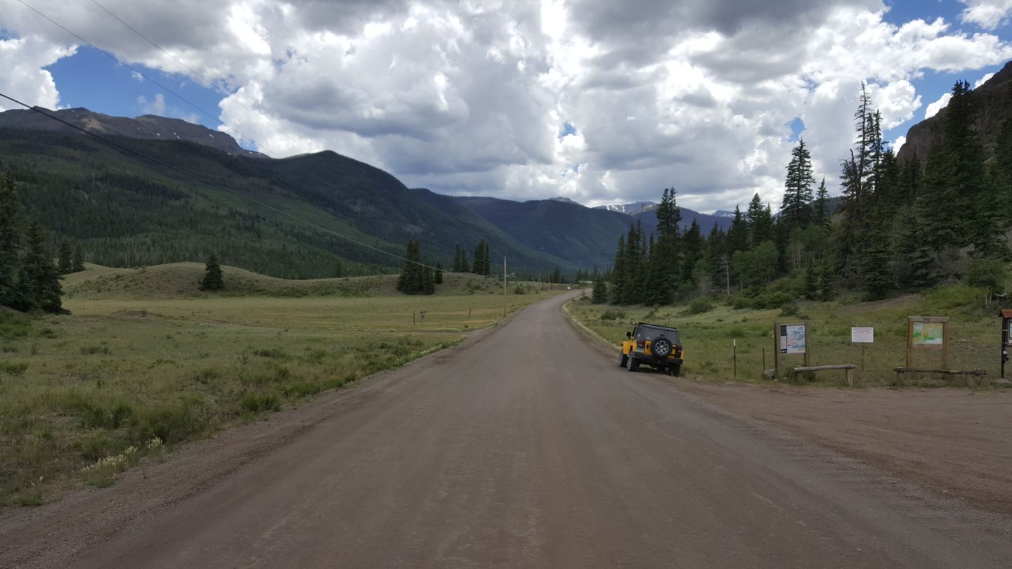
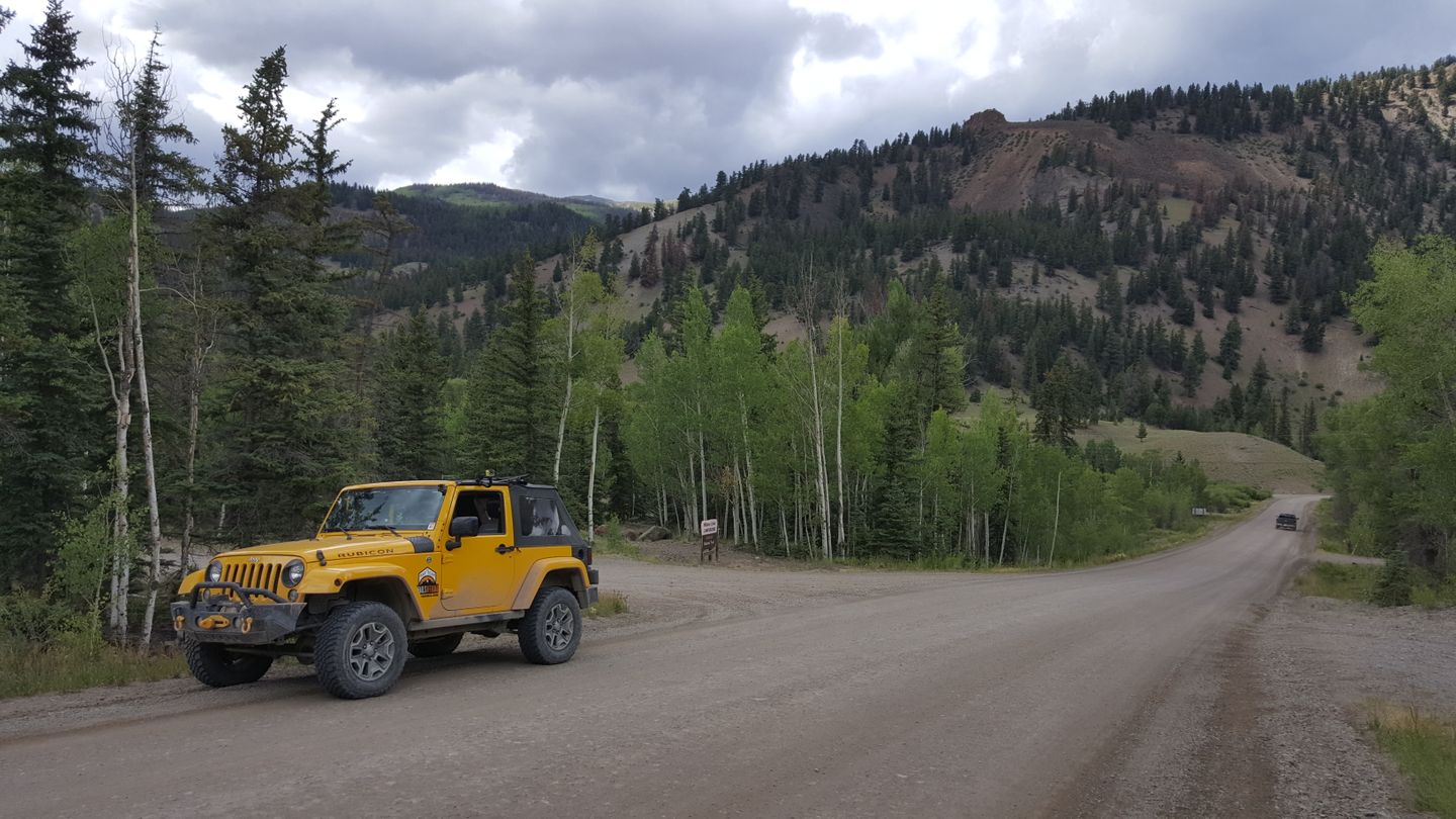
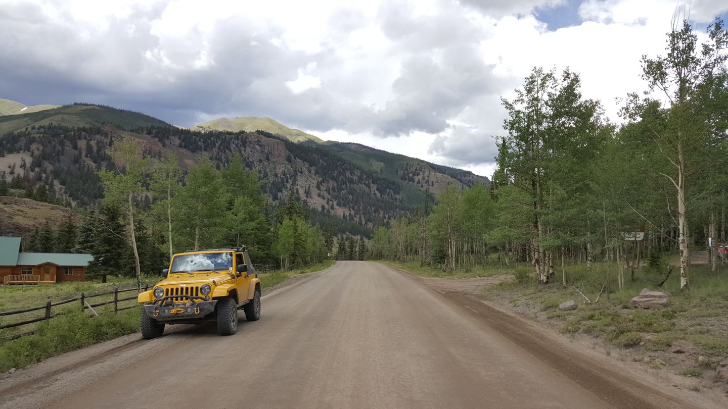
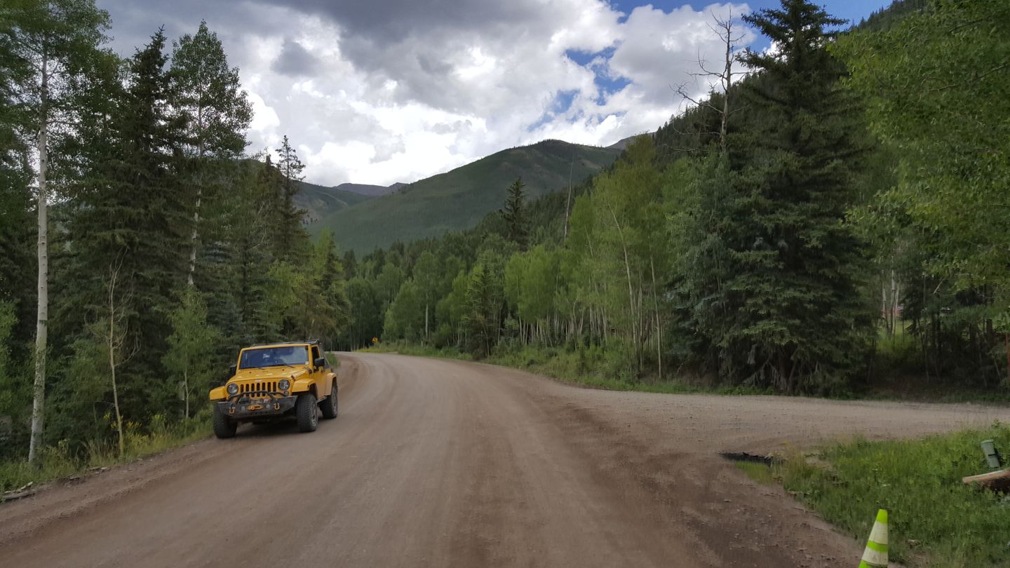
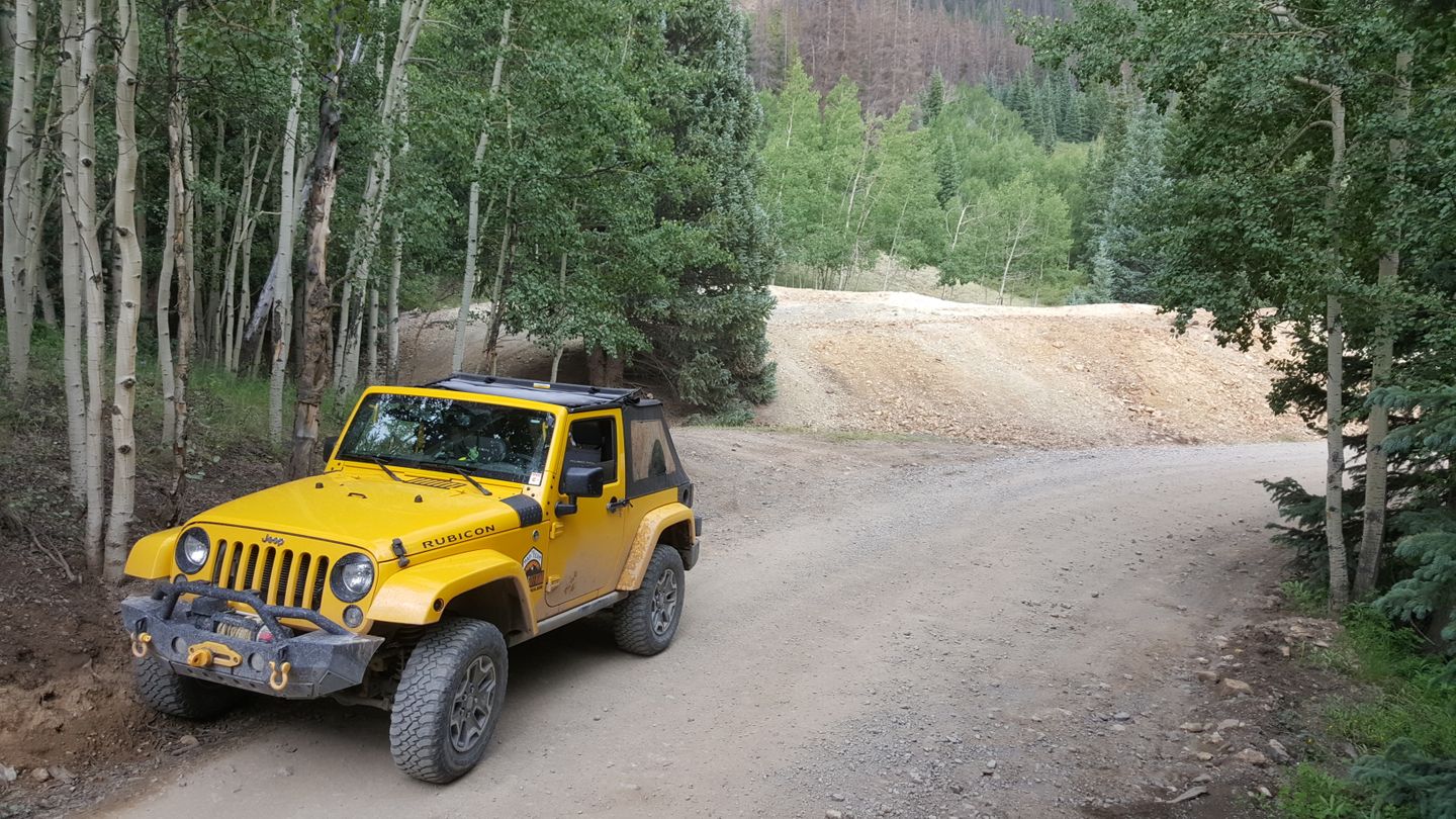
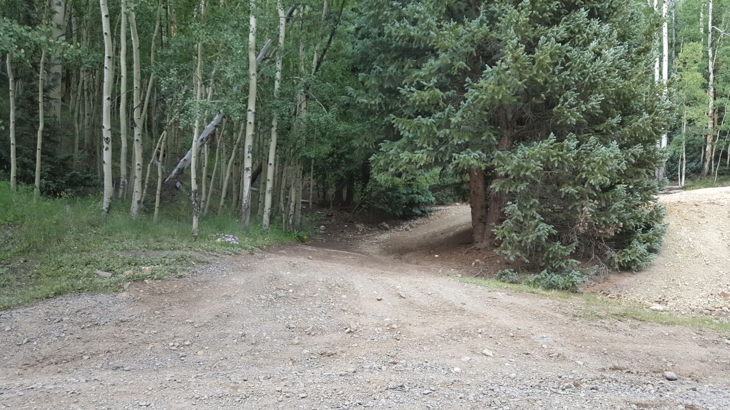
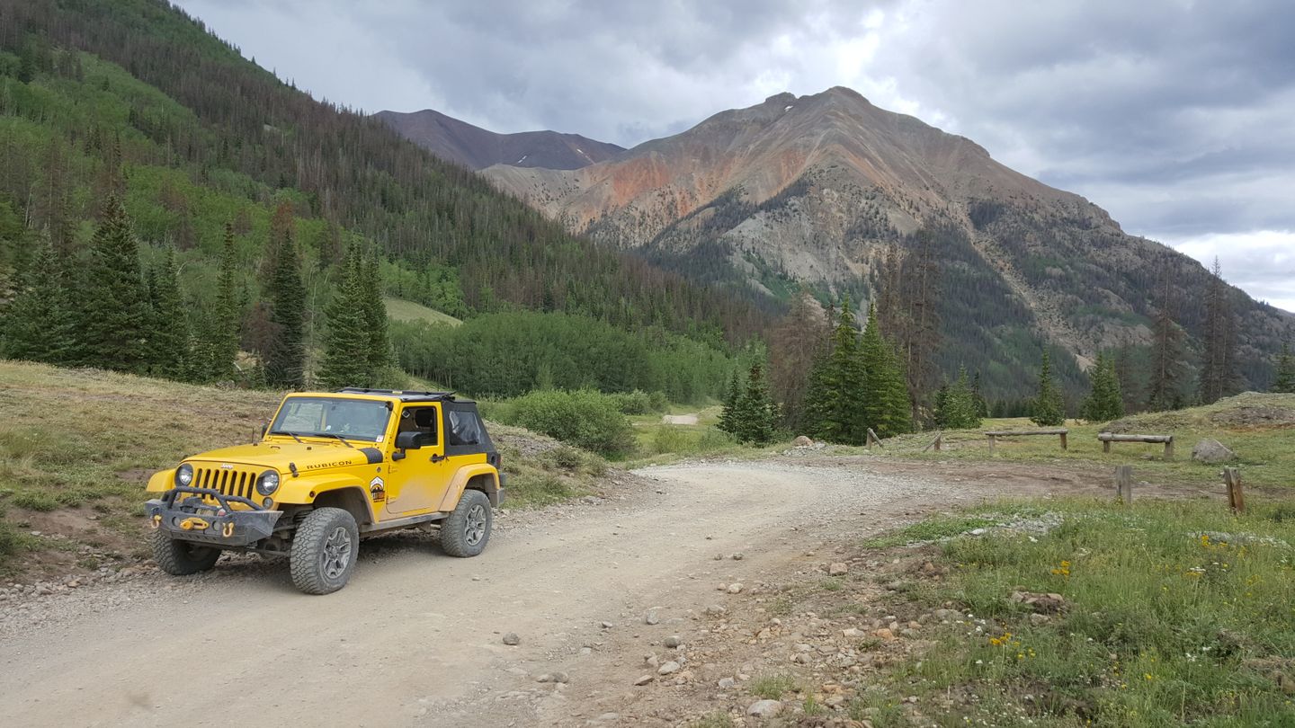
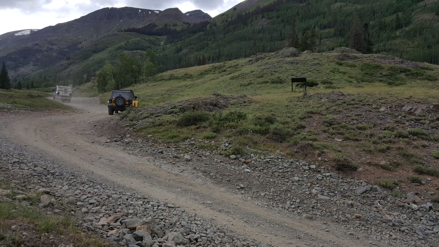
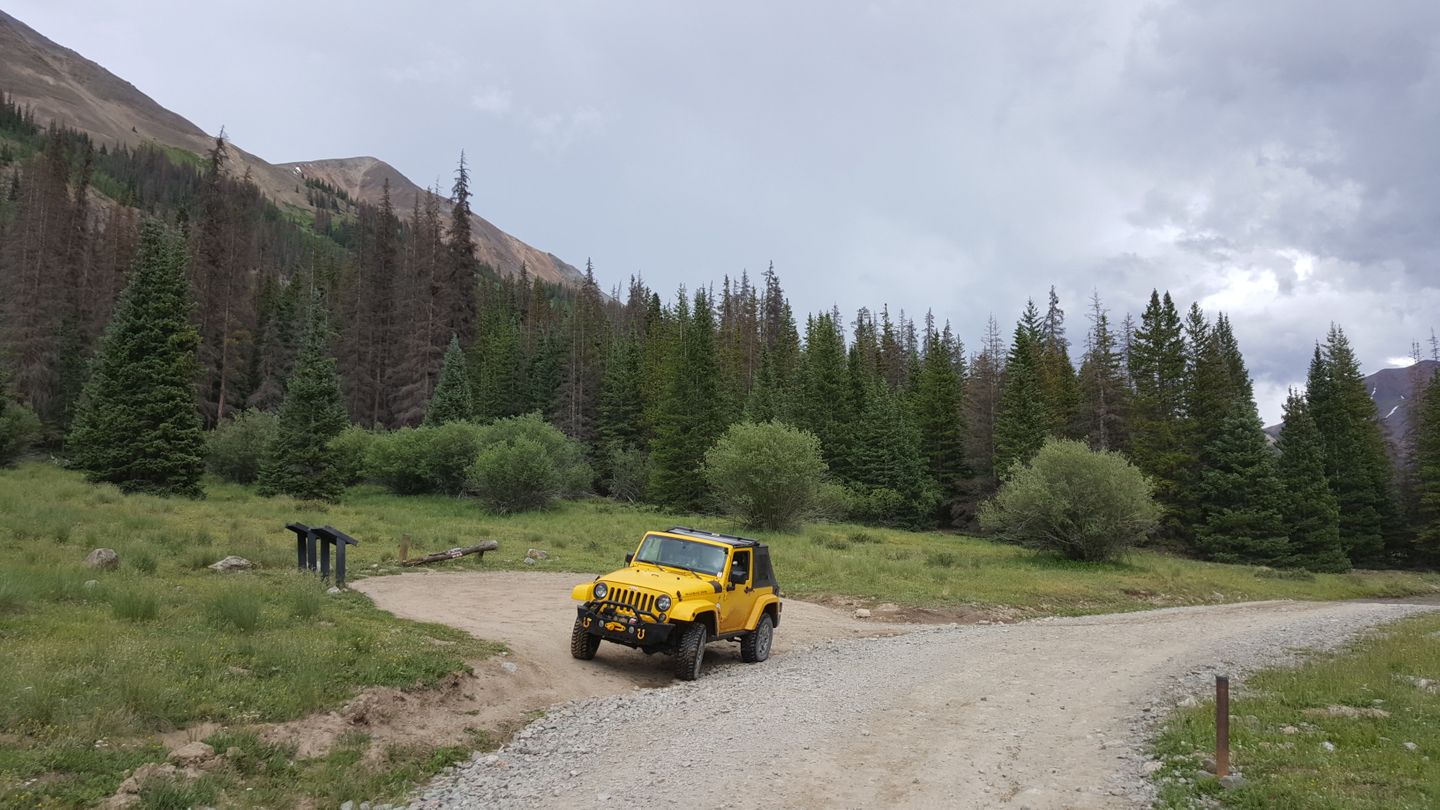
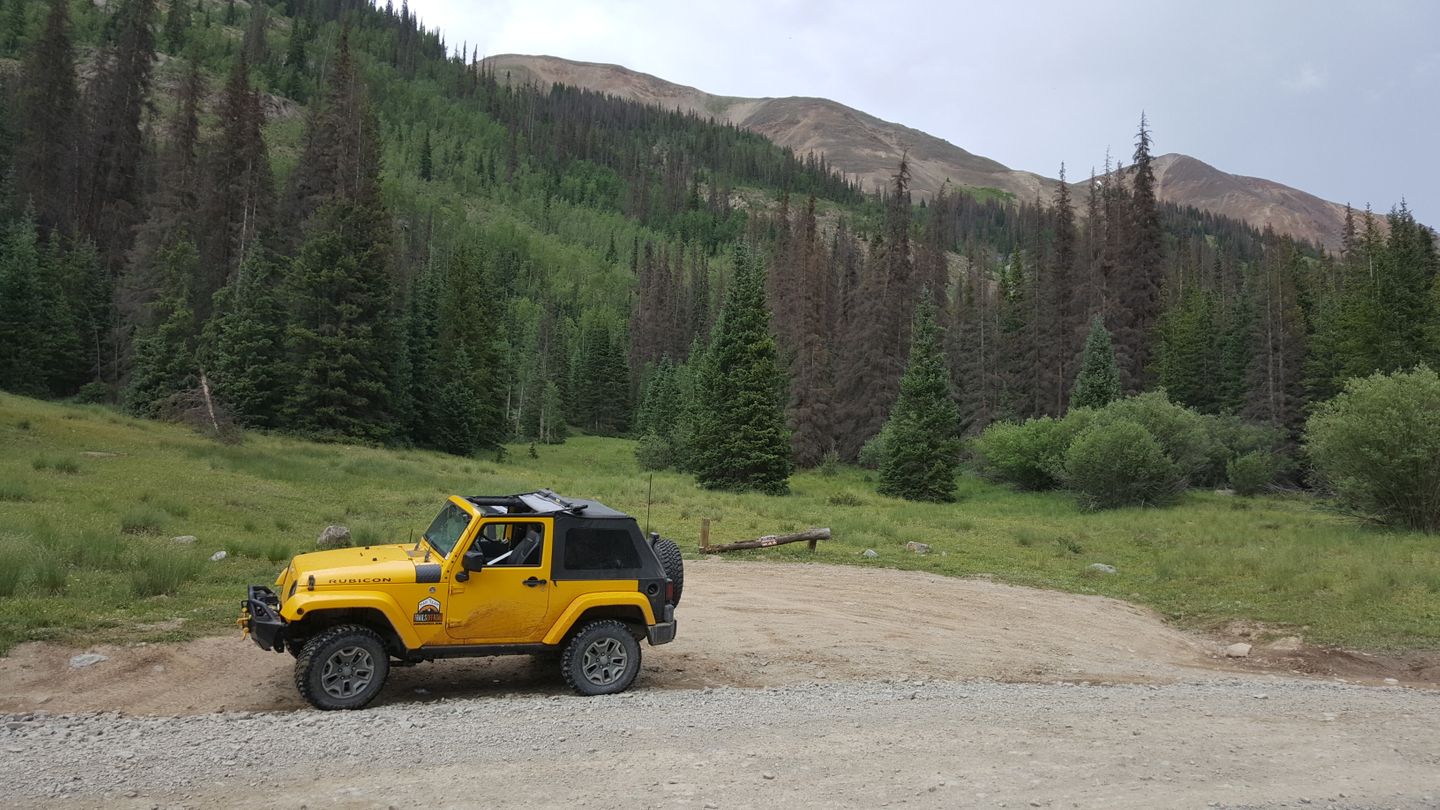
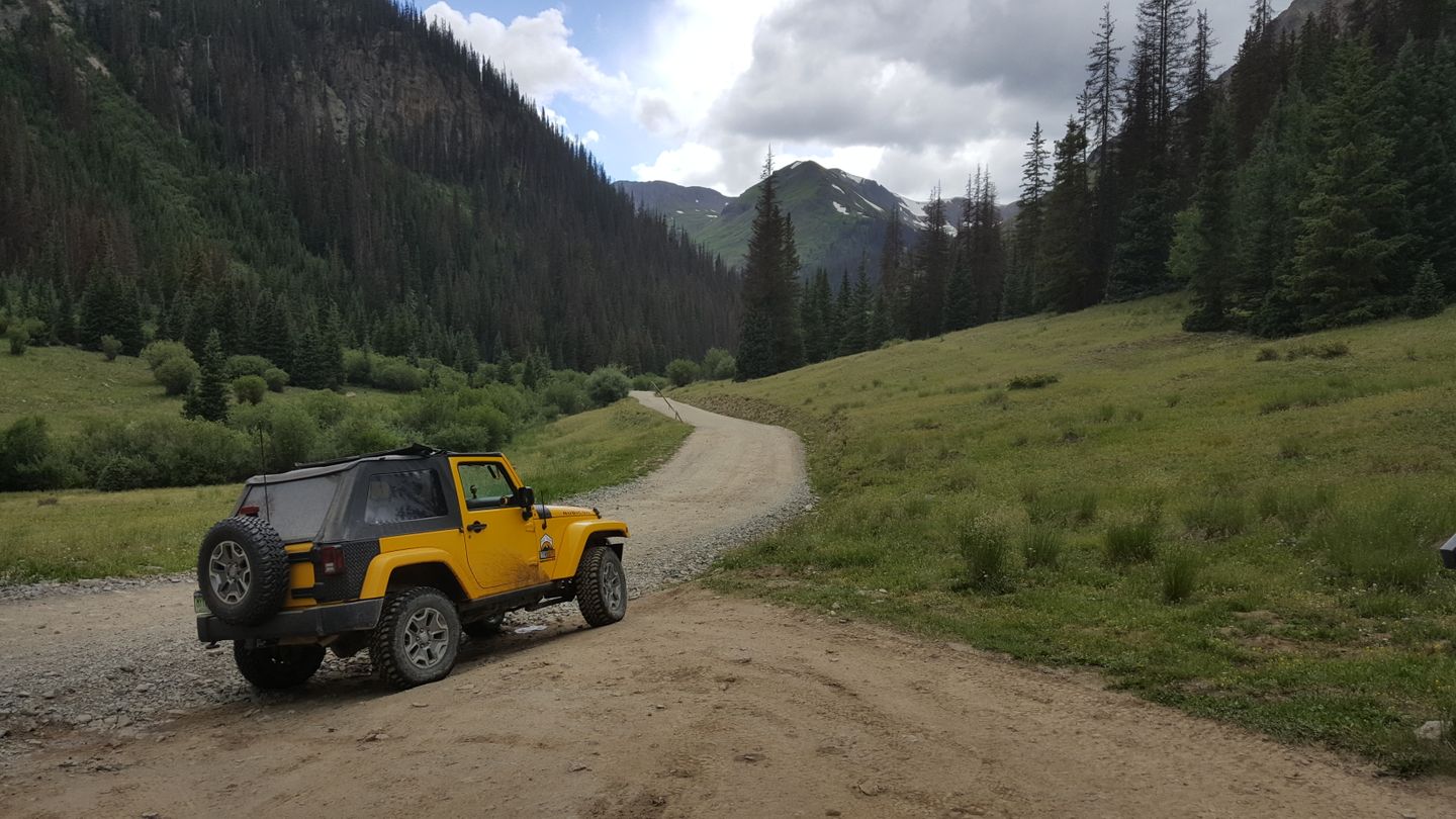
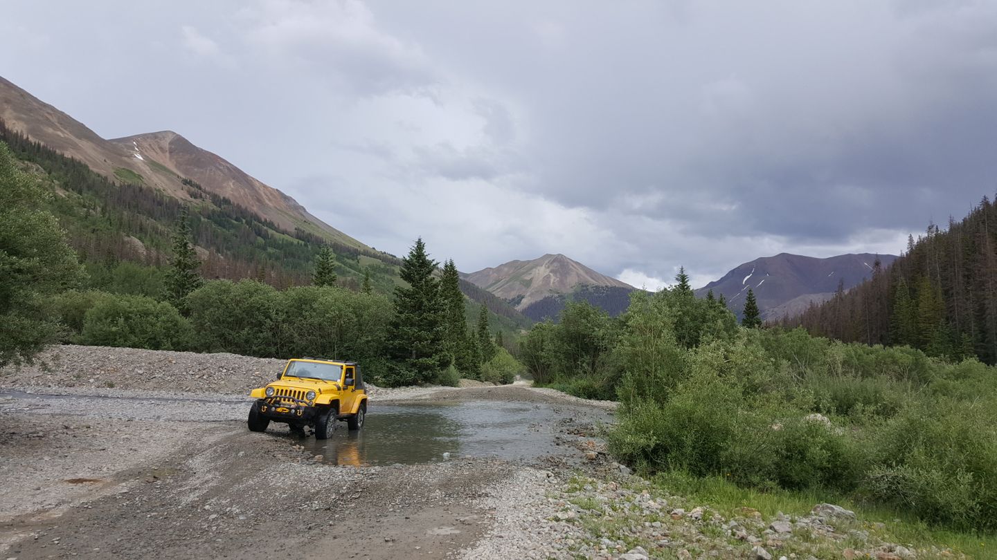
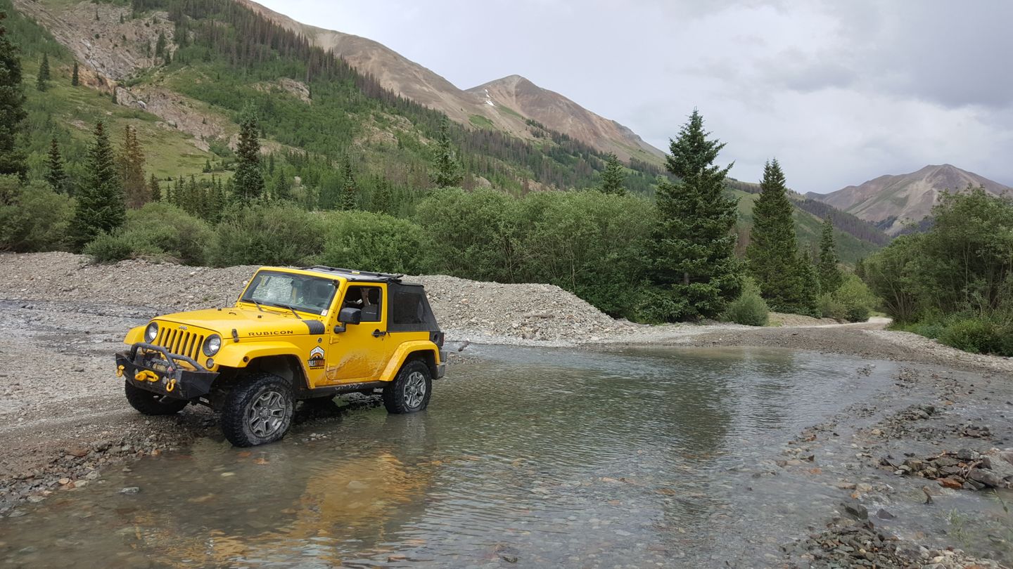
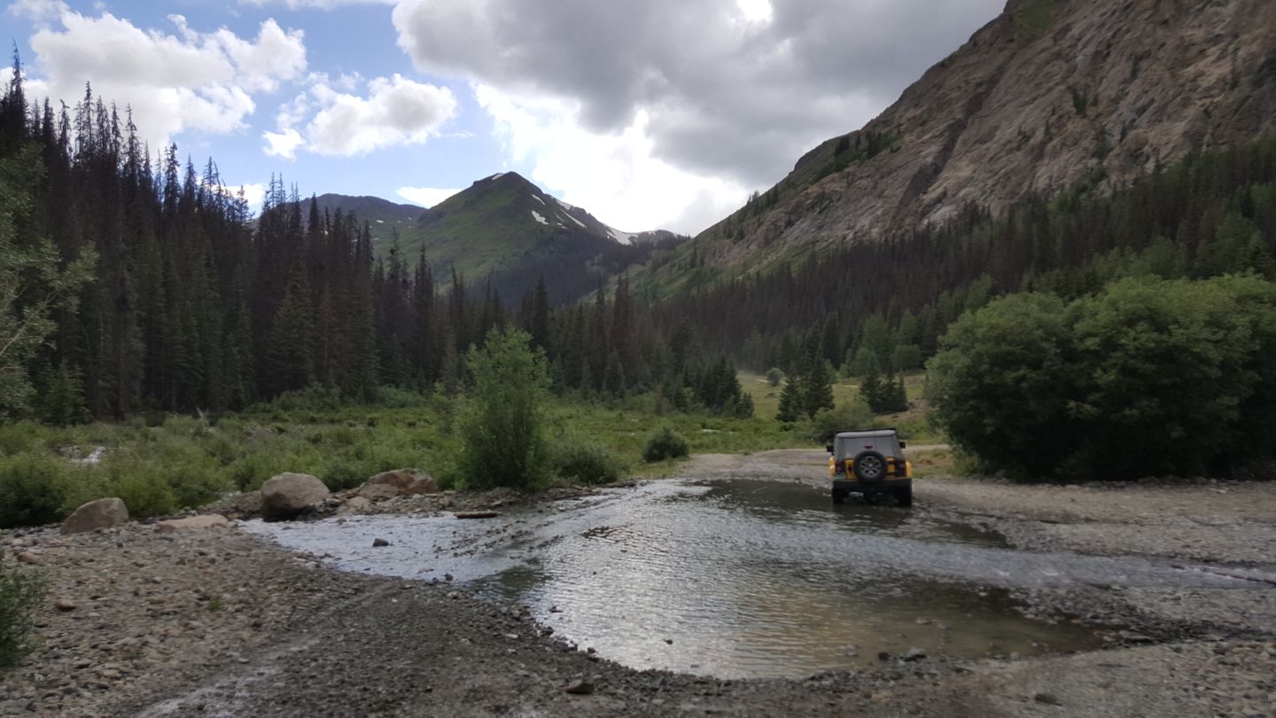
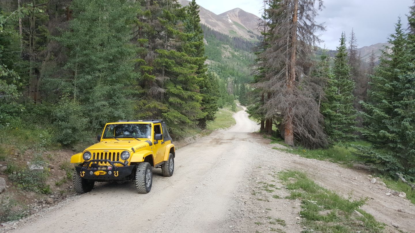
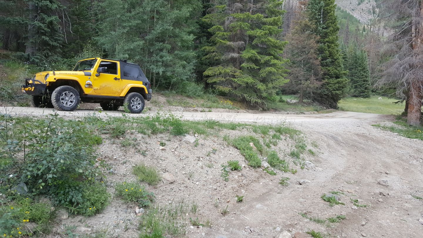
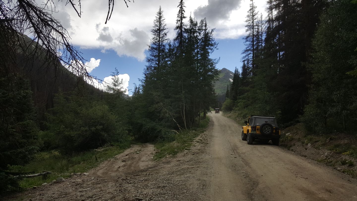
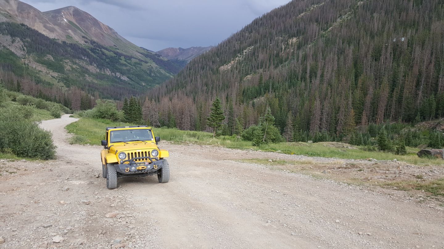
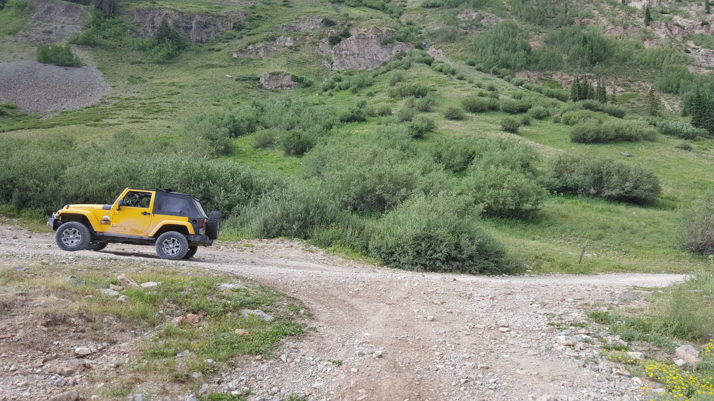
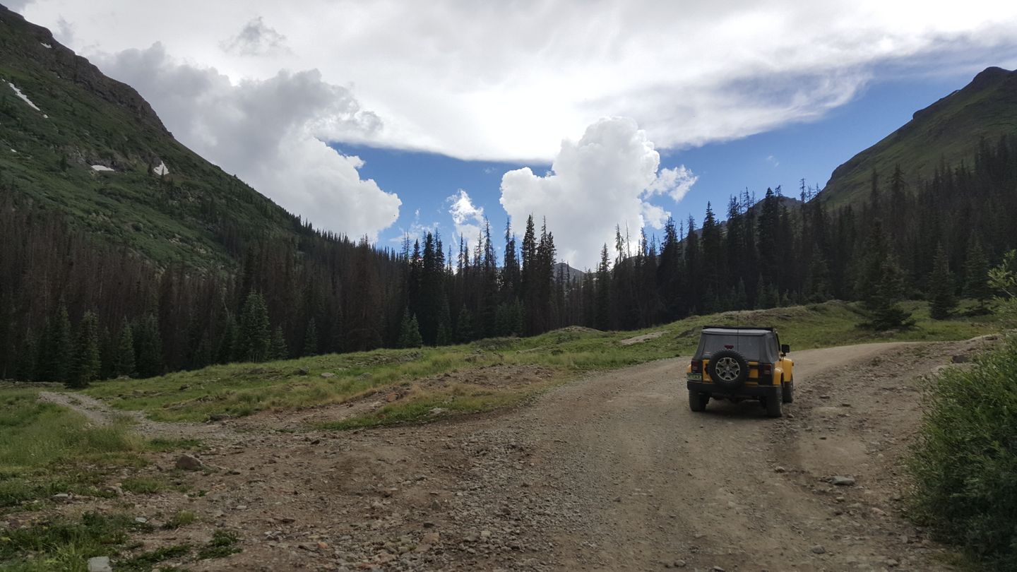
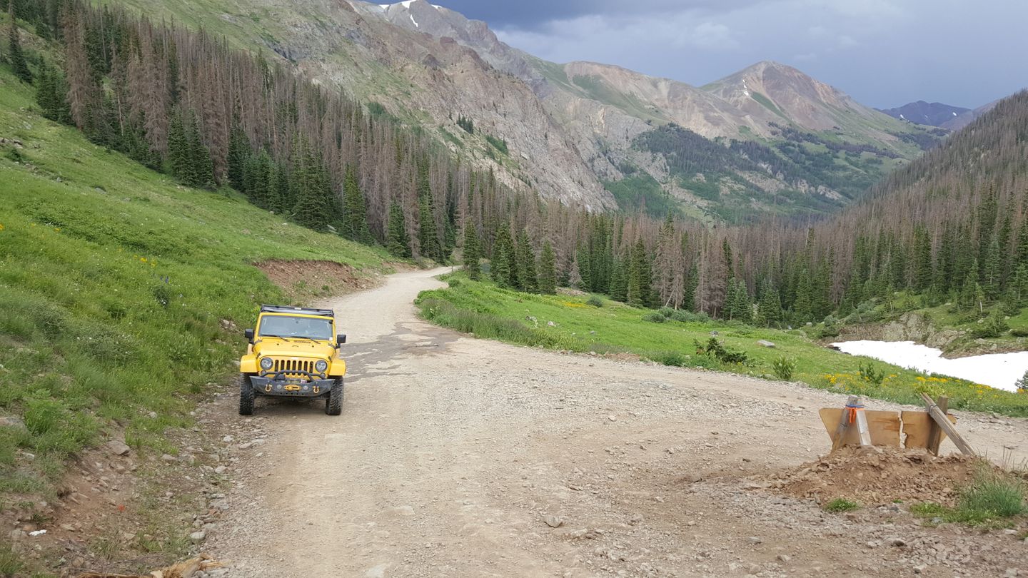
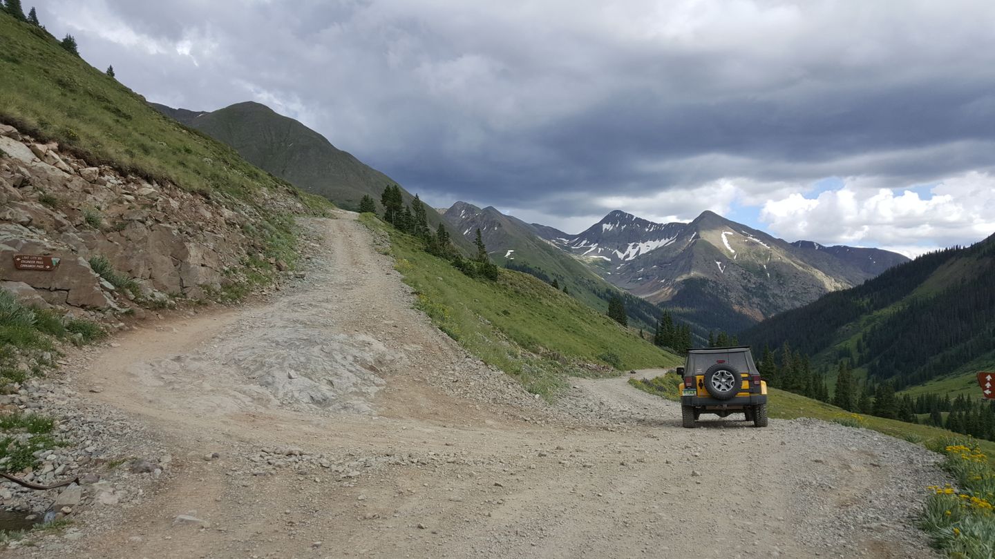
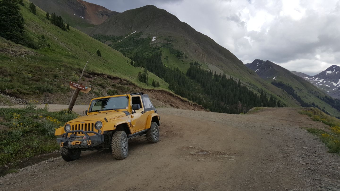
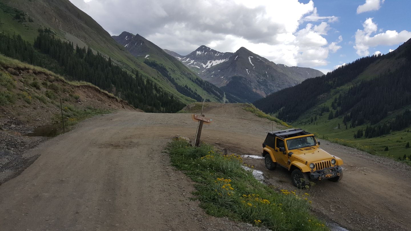
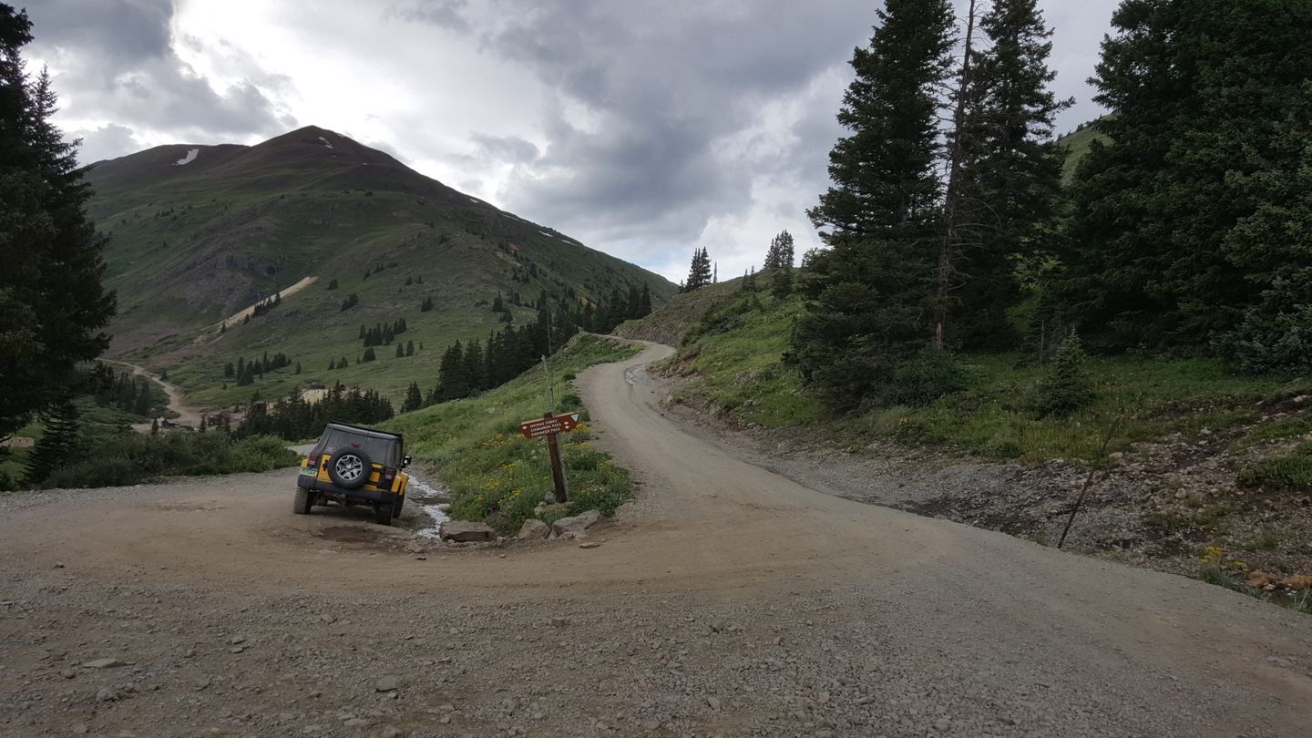
This trail, just outside of Lake City, CO, is an over 25.5 mile-long trail that when connected with Engineer Pass - Alpine Loop Connector and Engineer Pass makes up the famous Alpine Loop. The two connected is a nearly 60 mile long trail that can make for a sunup to sun down day on the trails in the area. If you are running the Alpine Loop, then you will get onto the Engineer Pass part via the Engineer Pass - Alpine Loop Connector. You can also just connect to Silverton by taking this trail straight through and past the ghost town of Animas Forks.
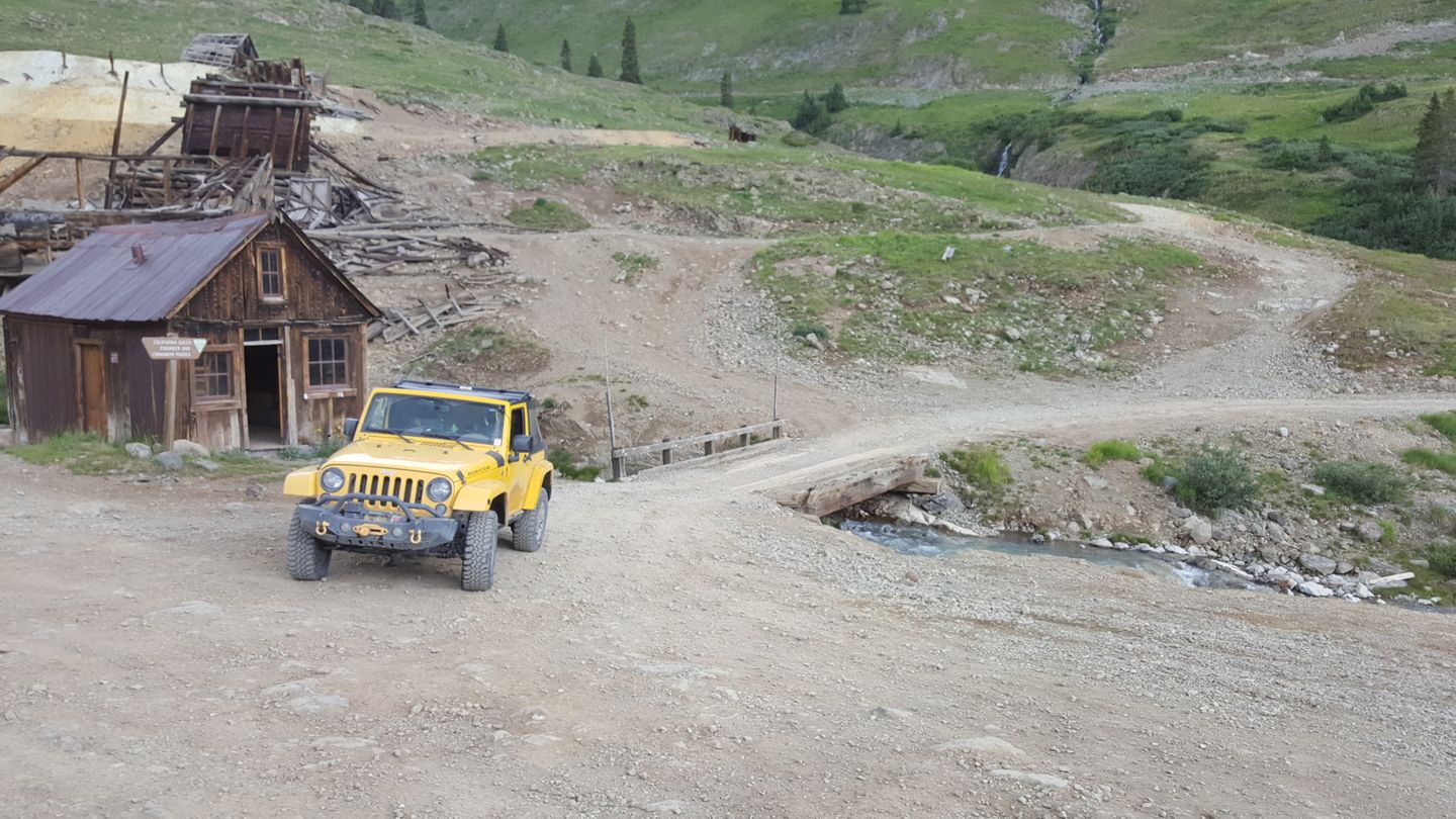
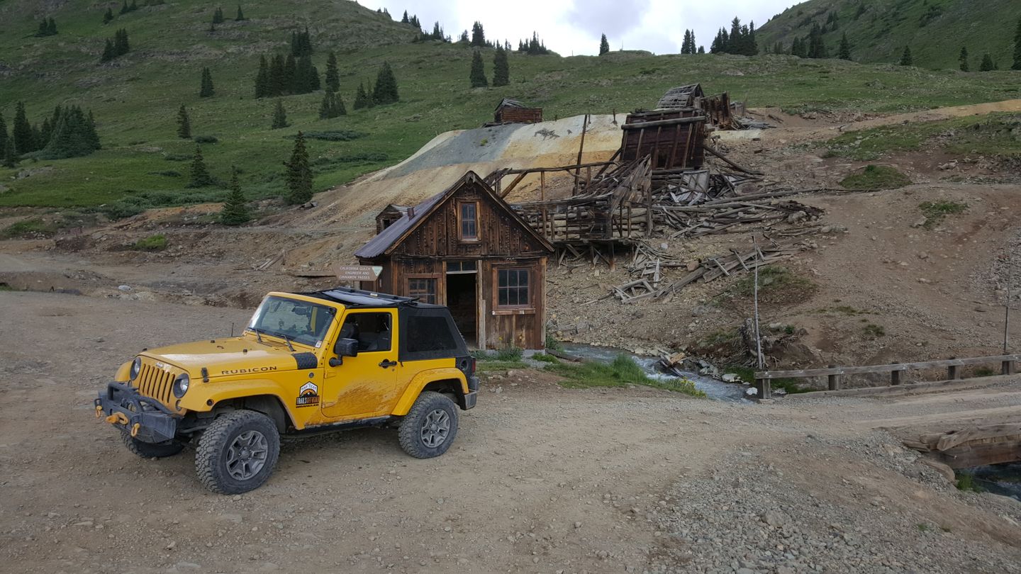
Along the way, you’ll run into ghost towns, mines and scenic overlooks that can make for some spectacular memories and images. Some of these ruins are over 100 years old and in amazing shape for their age. Tread lightly around these treasures. The overlooks are plentiful and while we’ve noted some of them here, you may find yourself stopping often to take pictures.
These trails are what is left over of the road system needed for mining in the 1800’s during the gold and silver boom in the San Juan Mountains. The Bureau of Land Management now manages this trail from start to finish and maintains the surface and historical markers that you will see along the way.
This trail is relatively easy and for everyone from the beginner to the experienced off-roader. It offers something for everyone along this route. The road is not a very rough surface in most places but it is a true off-road trail and will test your fortitude with shelf roads and some of the inclines.
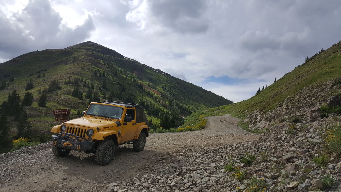
For Jeep owners, there’s a special note here. Jeep has designated some trails as Badge of Honor trails and this is one of the few in Colorado. Its fame means that Jeep will recognize if you ran it and provide you with a badge to put on your rig showing you completed the trail.
Trail Difficulty and Assessment
Recommended Vehicle:
Stock SUV with High Clearance and 4 Low
Concerns:
Summary:
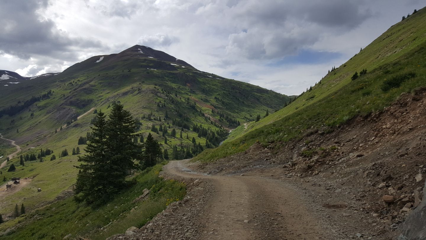
This trail is mostly dirt and rocks throughout. The shelfy areas will make some uncomfortable but are not as bad as some trails in the area.
Community Consensus
8 votes
7 votes
1 votes
Easier
Spot On
Harder
The weighted average of your fellow members agreement of our trail
rating. As trail conditions change this helps us keep the community
aware of changes.
Mandatory
3 -
MODERATE
The hardest part of the trail that you
cannot bypass - you have to drive it.
Optional
3 -
MODERATE
The hardest part of the trail that is
purely optional - you can bypass it.
Typically, more rock or undulated road surface. Potential rocks and/or tree stumps less than 12" tall and/or vertical ledges less than 12" tall and/or near vertical ledges or waterfalls less than 24" inches. Tire placement becomes more difficult. Can be steep.Read More about our Rating System
This trail is a 25.5-mile straight connection from Lake City to the ghost town ofAnimas Forks. It’s also one of the starting points for the Alpine Loop. This trail is great for nearly as any high clearance vehicle can make this trail in good conditions.
Other than some shelf areas, this trail is relatively easy throughout with no major obstacles to note. You’ll encounter a few rocks in the dirt and the occasional stream crossing as well.
This trail travels well above the timberline and much if it is fragile alpine tundra. It’s extremely important that travelers follow the trail and do not deviate from it. The damage one vehicle can do can by going off-trail can take years for the area to recover.
Typically, this trail opens in June, however there is no standard date to give out. This trail and area is completely governed by snow and unstable rock in the region. The San Juan Forest Service maintains a list of the trails in the area and what is open to the day. We will update this page as the trail is open or closed seasonally.
In summer, it's a good idea to check this page directly for updates that can close the trail in summer for short periods, like rockslides and accidents. Click here for the most up to date information.To run the Alpine Loop in it’s traditional route, start in the town of Lake City. Go south and begin the loop at Cinnamon Pass. When you get to waypoint 20 on Cinnamon Pass, turn right (north) and head uphill towards Engineer Pass. After 2.1 Miles the Engineer Pass - Alpine Loop Connector ends, turn right (east) to pick up Engineer Pass at waypoint 11 back towards Lake City.
1. Trailhead (0
mi)
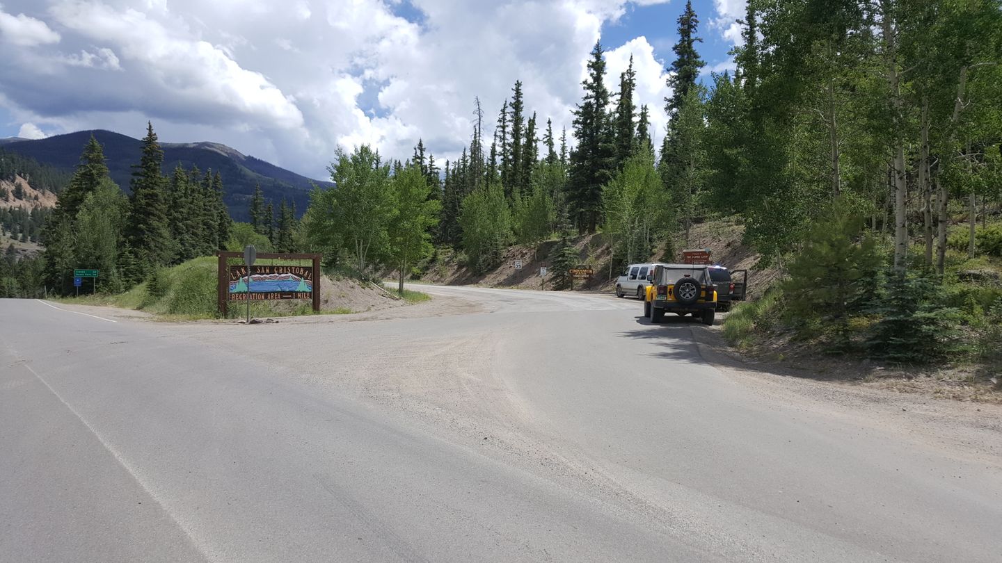
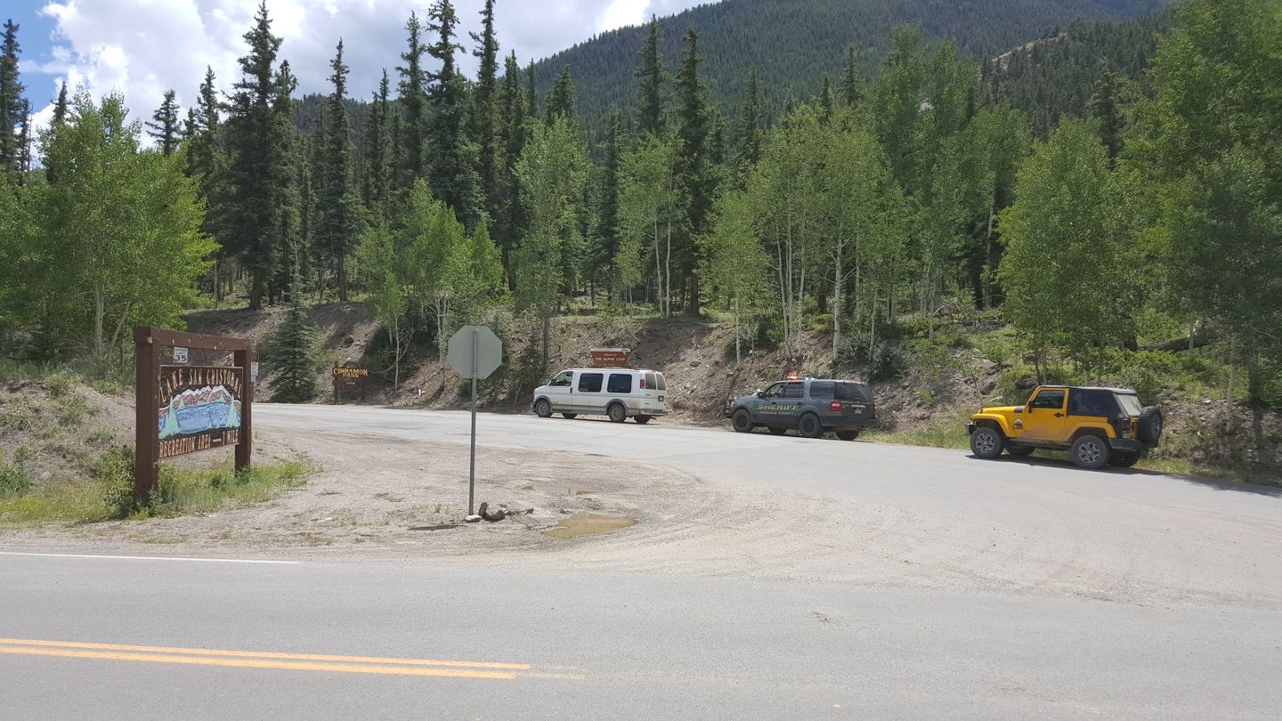
This is the entrance to the Alpine Loop and Cinnamon Pass if coming from the east and starts on pavement. There a lot of private drives and no part between here and the next waypoint is open. Stay straight all the way through.
2. Intersection with CR 33 (4.1
mi)
Stay straight (south) at this intersection. On the left (east) is CR 33 and on the right (west) is an unknown and likely private road.
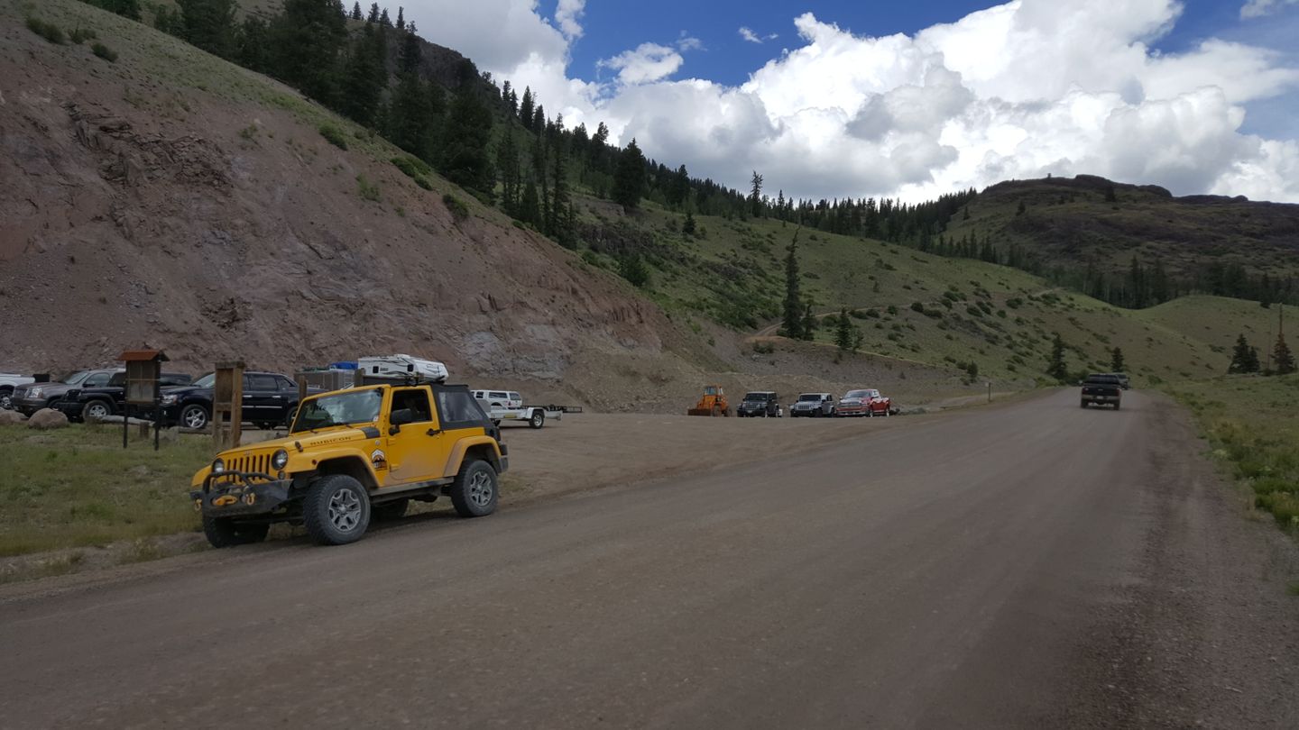
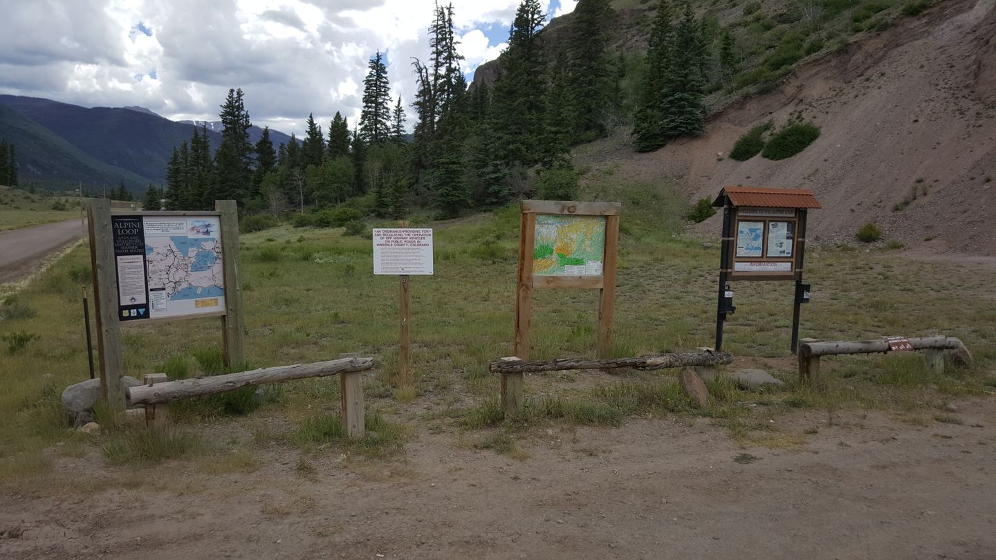
3. ATV Staging Area and Parking Lot (5.2
mi)
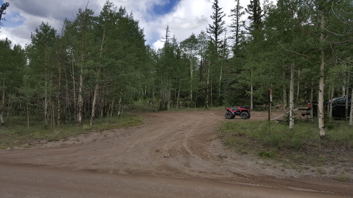
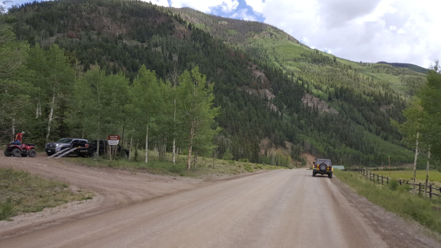
Stay straight (southwest) here unless you’d like to use this chance to air down. This is an ATV staging area and some trails on both sides of the road nearby for them. Watch for ATV and foot traffic in the area.
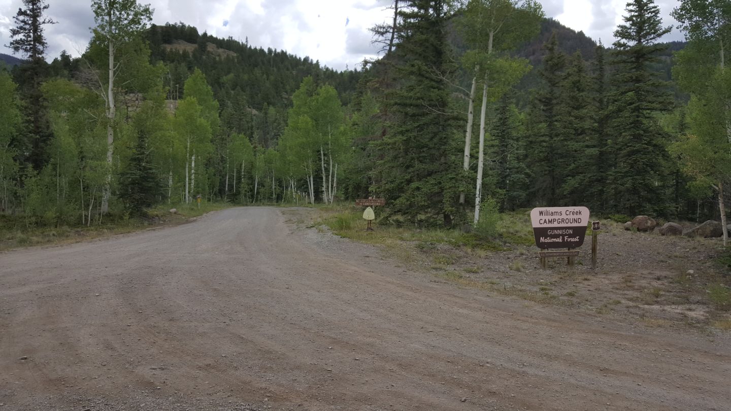
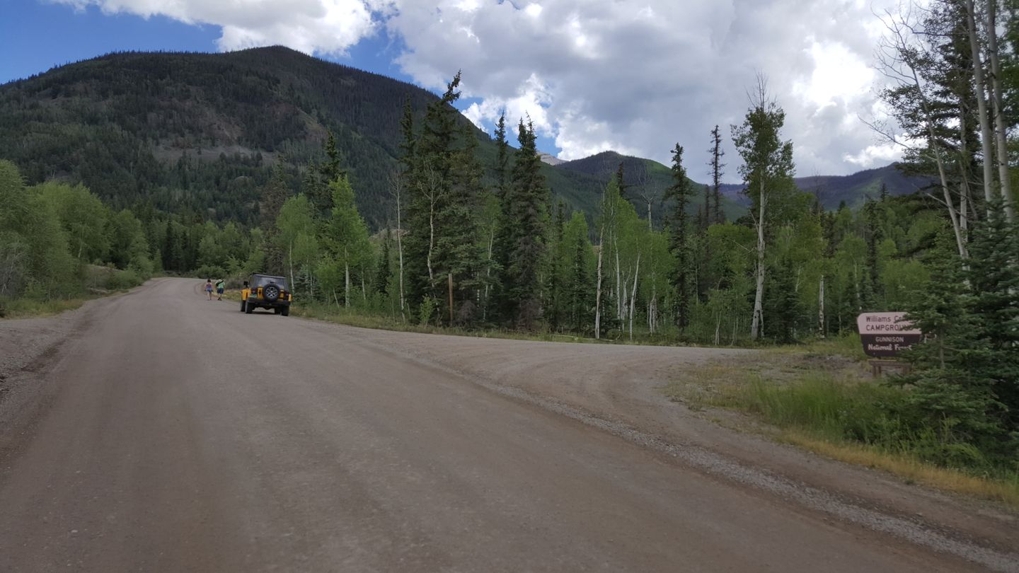
4. Williams Creek Campground (7
mi)
Stay straight (southwest) here. On the right (west) is Williams Creek Campground and is a paid camping site. There are some campgrounds on the other side of the road that appear to be unauthorized locations.
5. Intersection with Private Property Roads (8.2
mi)
Stay straight (south) here, there is private property on both sides of the trail for the next mile or so.
6. Intersection with CR 36 (9.3
mi)
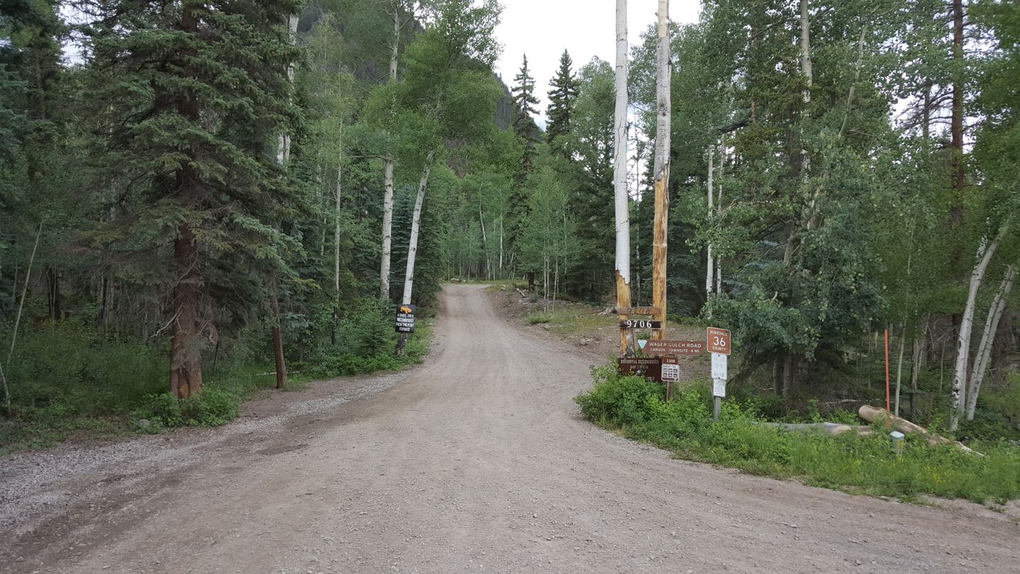
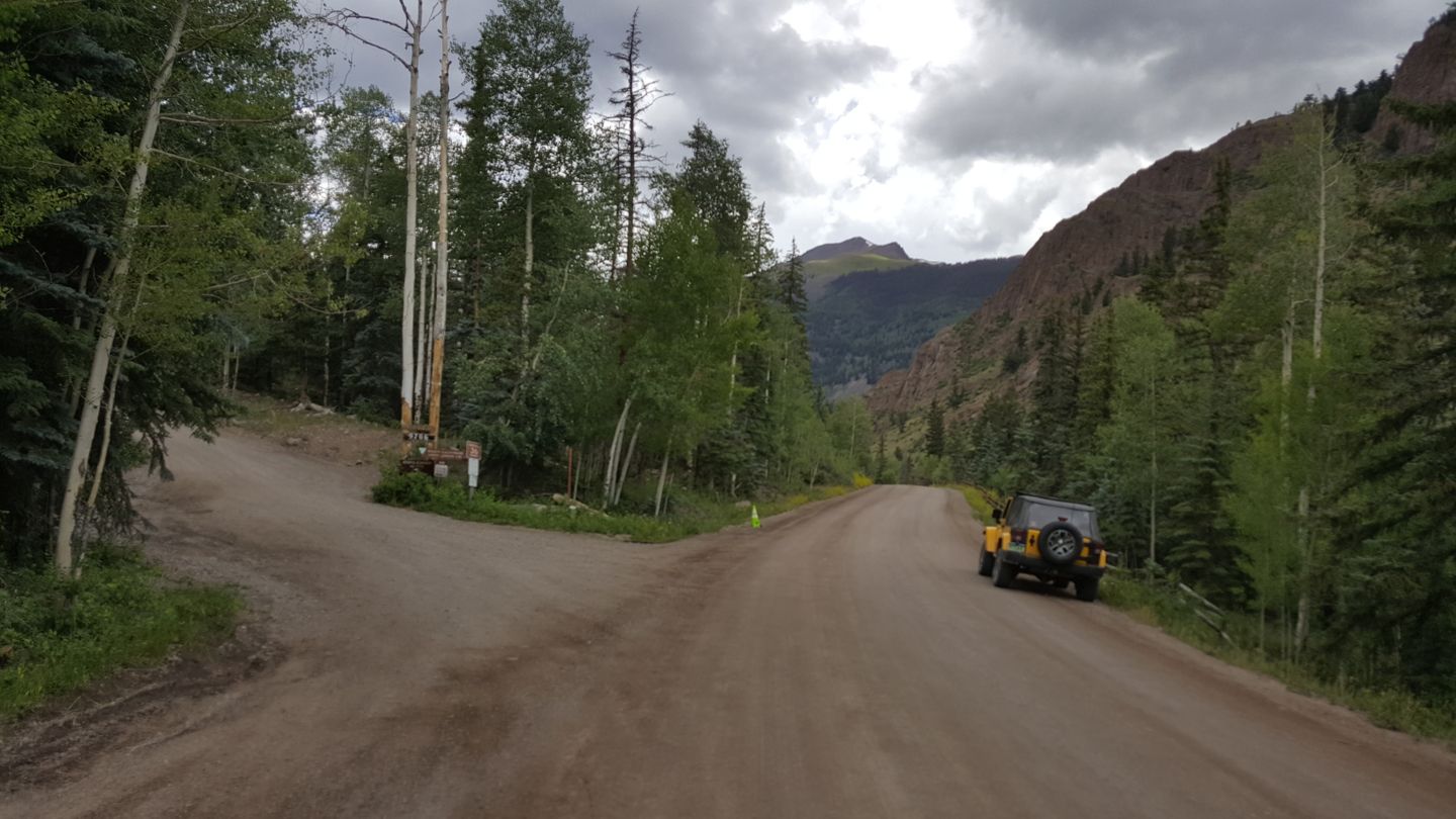
Stay right (northwest) away from CR 36. CR36 will take you to the
Ghost town of Carson, Colorado. One of the more well preserved and less traveled old mining towns in the area.
7. Bathroom and Rest Stop (10.5
mi)
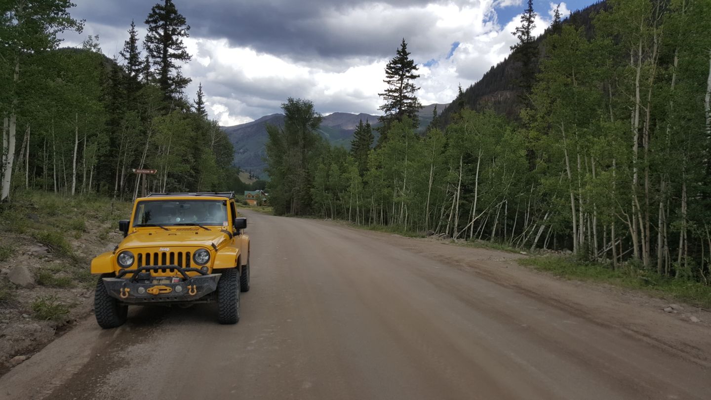
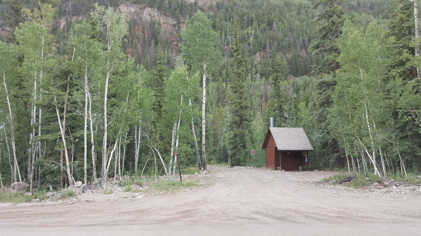
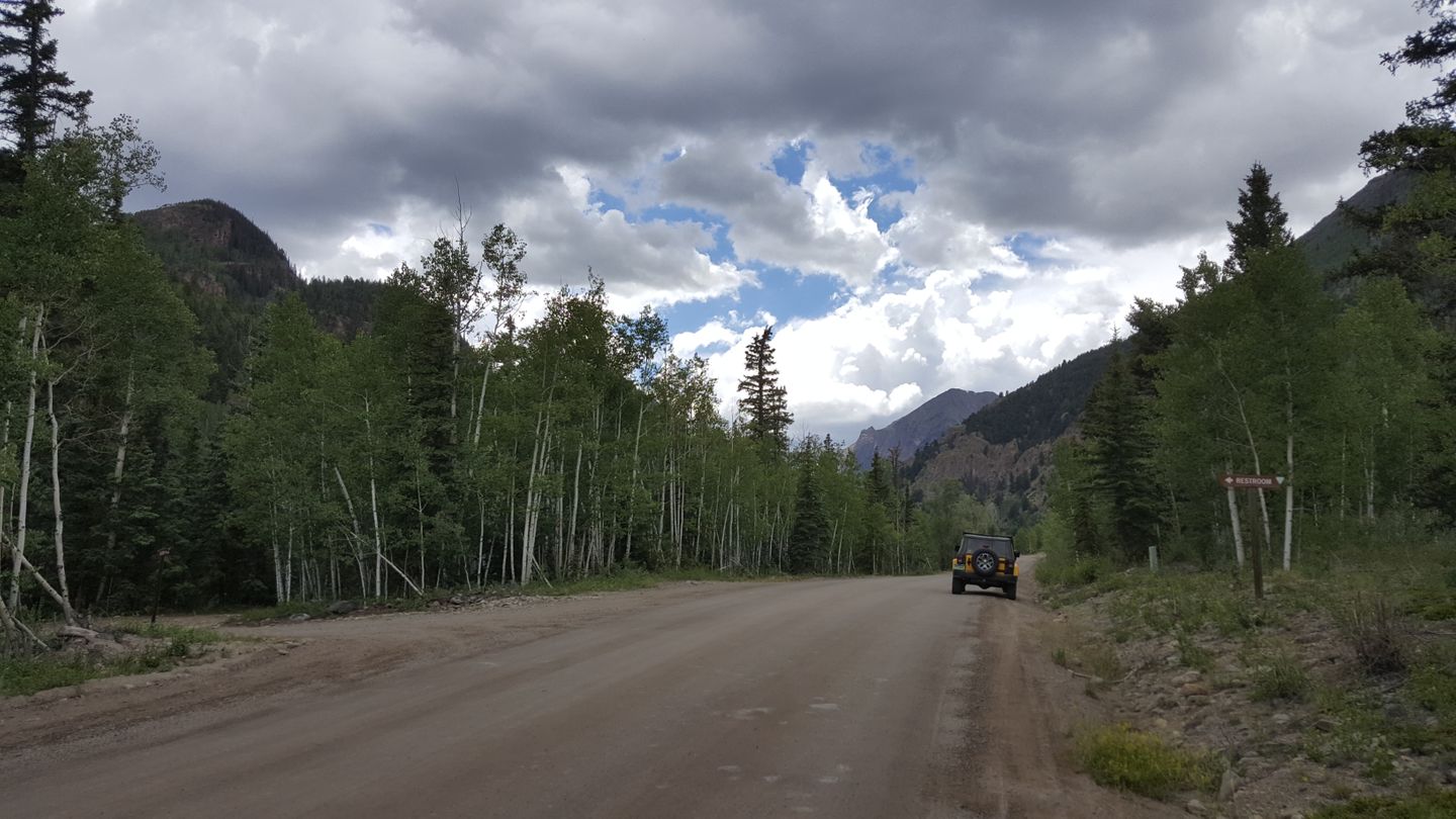
Stay straight (west) for the trail. On the left (south) is a maintained pit bathroom and if you need to go, you should stop here. The trail is long and bumpy and your bladder will thank you. There is some trail access for ATV’s, foot and horse traffic to the side.
8. Mill Creek Camground (11.1
mi)
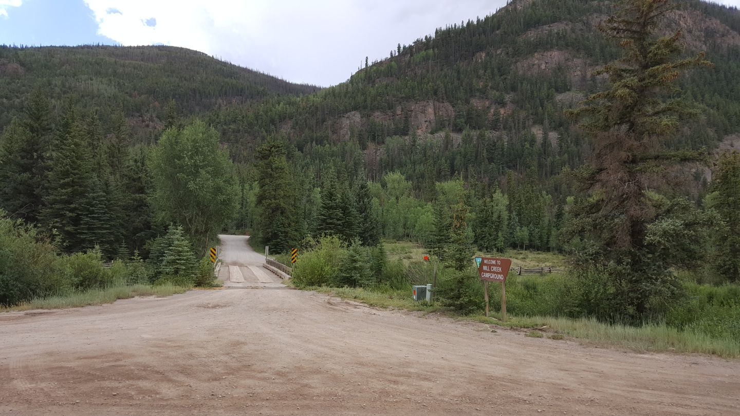
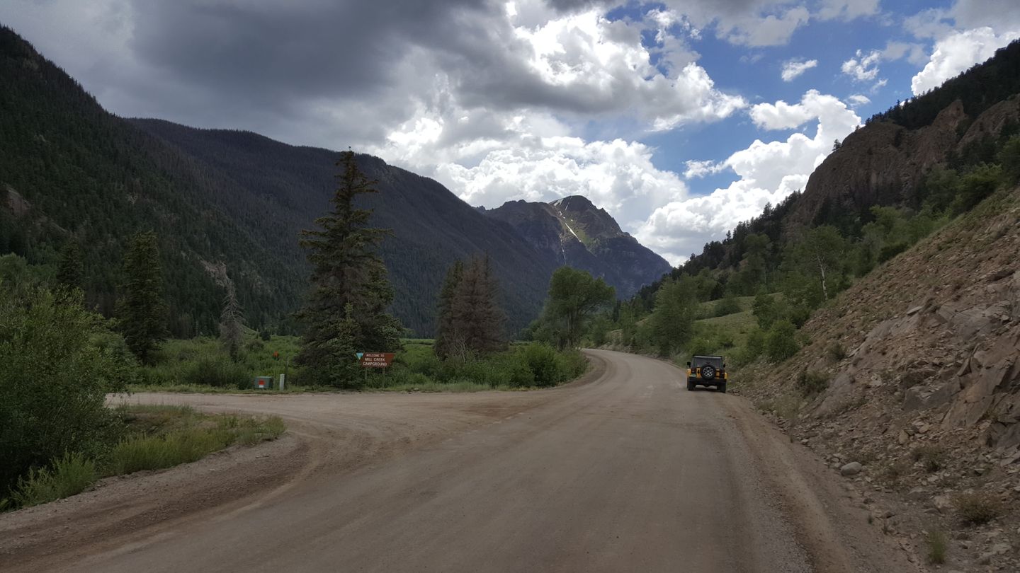
Stay to the right (west) on the trail. On the left (south) is the Mill Creek Campground. This is a paid site.
9. Intersection with Sherman Road (CR 35) and Seasonal Gate (12.3
mi)
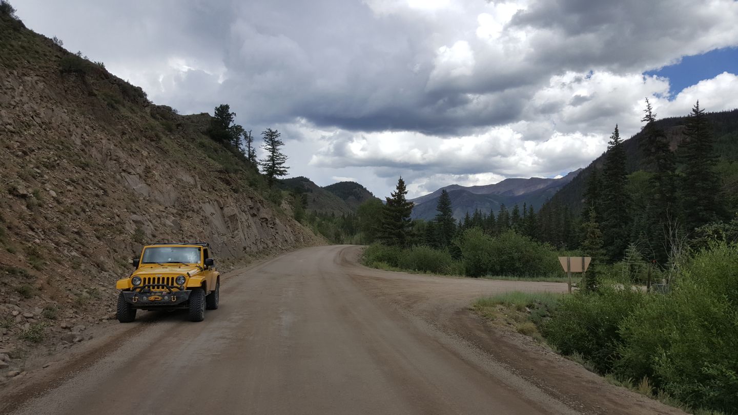
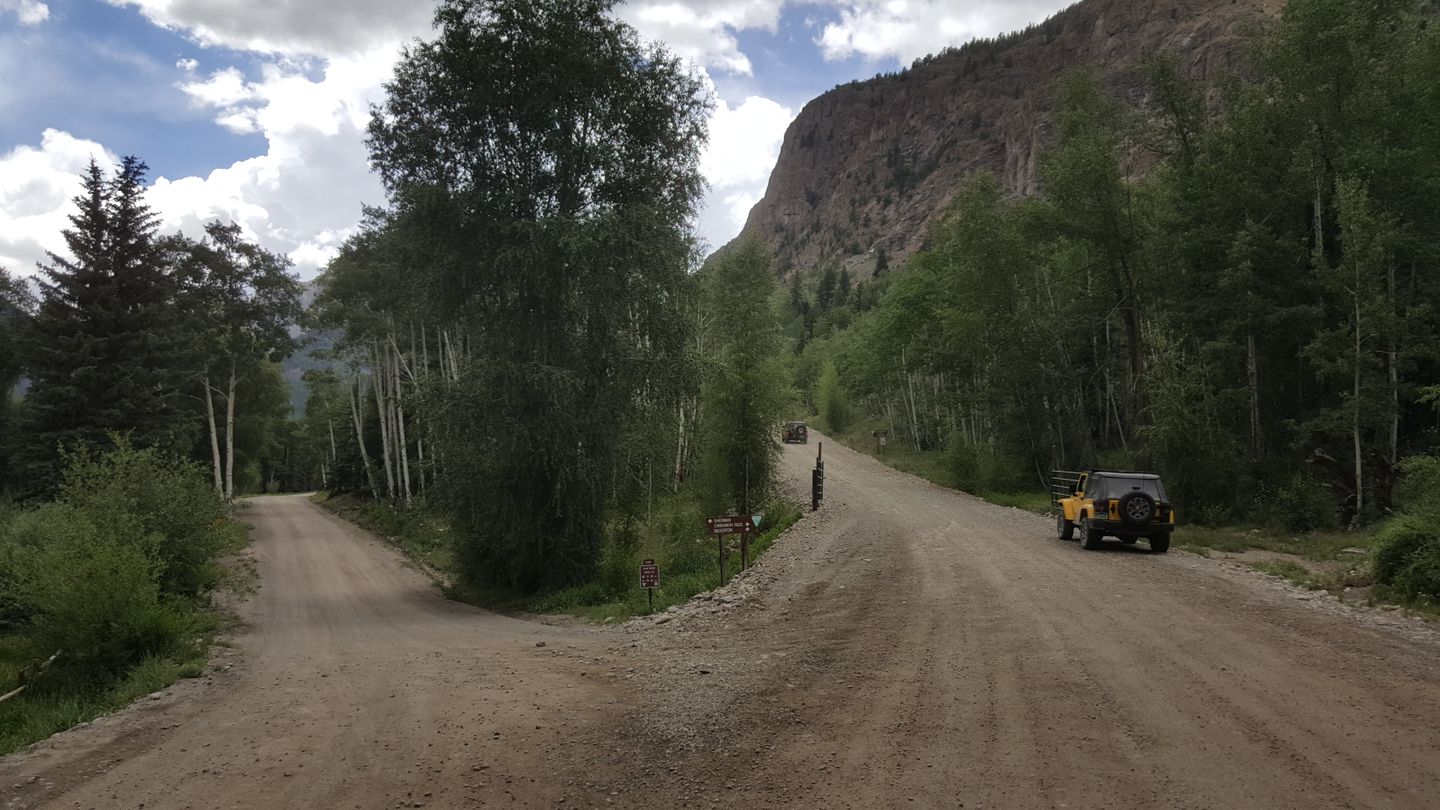
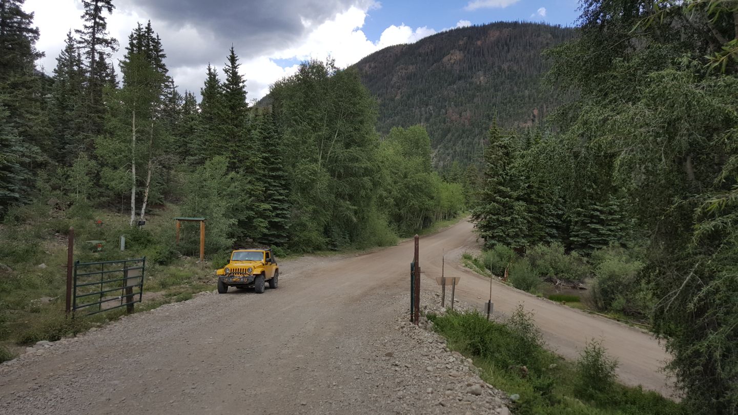
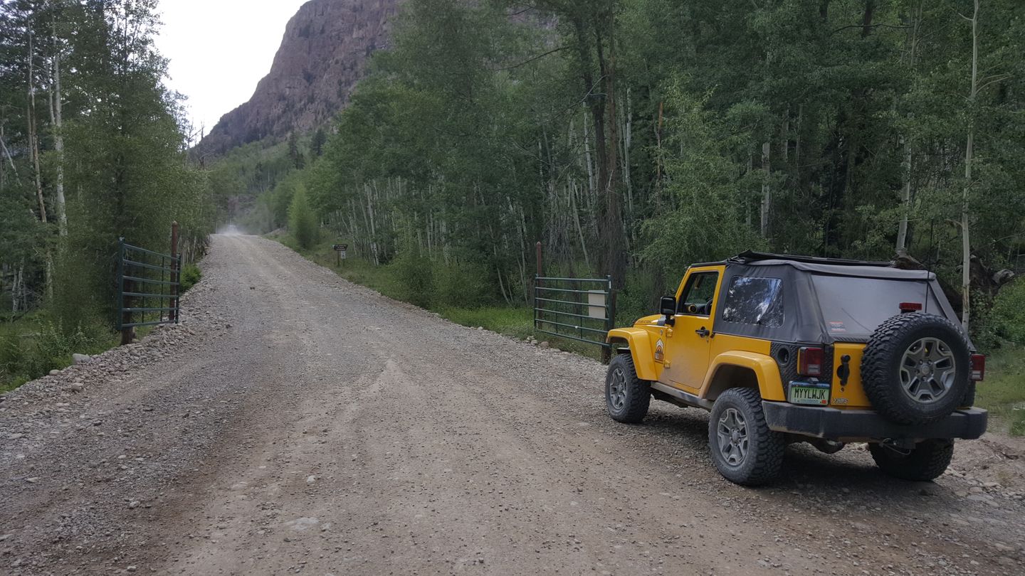
Stay right (northwest) and uphill at this split in the road. You will see plenty of signs and you want to go up past the seasonal gate. The road on the left (southwest) is Sherman Road (CR 35).
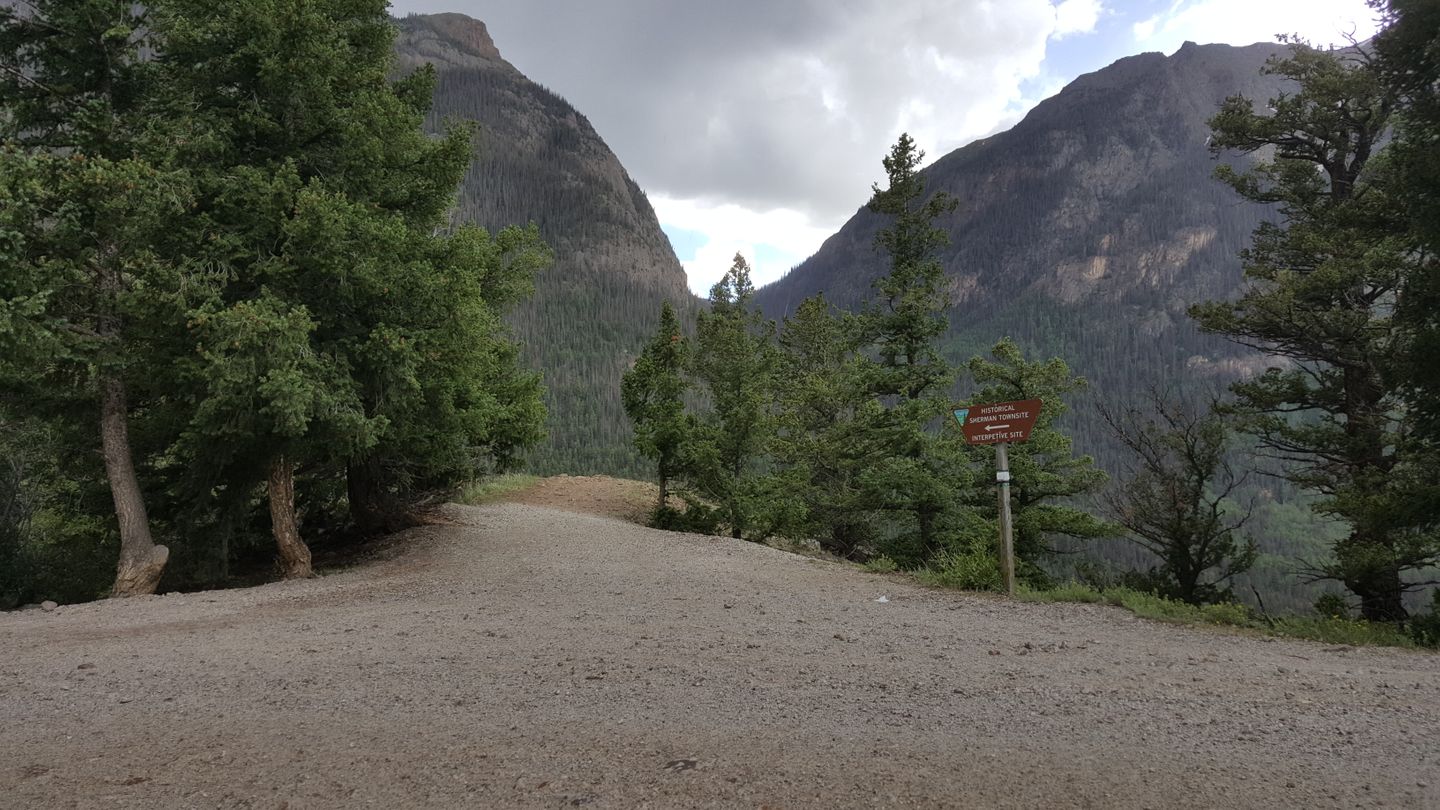
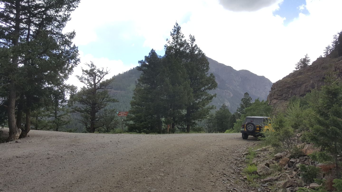
10. Intersection To Historical Sherman Townsite & Interpretive Site (13.3
mi)
Stay to the right (northwest) at the Historical Sherman Townsite and Interpretive Site.
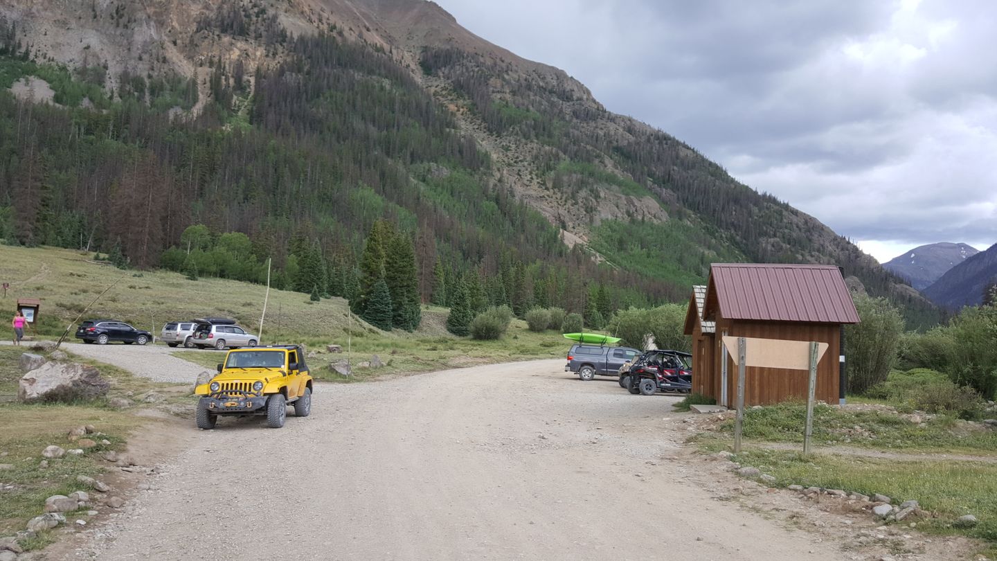
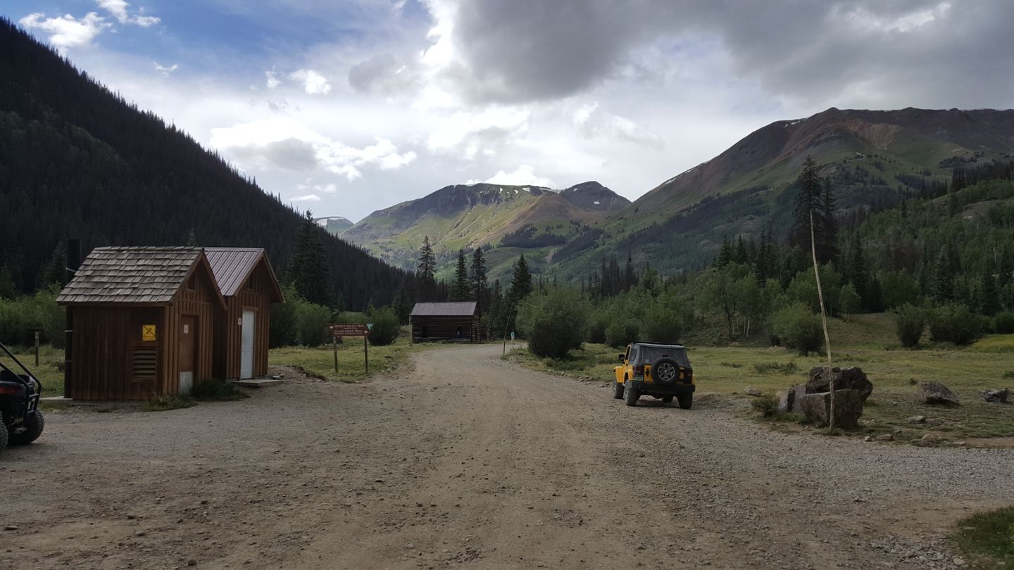
11. Mining Ruins, Walking Trails, Bathrooms and Parking Lot (16.6
mi)
Stay straight (northwest) through the town here. There are pit toilets available and a parking lot for ATV riders along with some trail entrances.
The Silver Creek, Grizzly Gulch Hiking trailheads are here and marked well just beyond the bathrooms.
12. Campsite with a View (16.7
mi)
Stay to the left (west) and on the well-traveled trail. This place is noted because it looks like a trail from the main road, but is actually a campsite.
13. Scenic Stop With Informational Sign (17.3
mi)
There is a scenic stop here that includes signs that give information about the area while looking down into the valley behind you. It’s well worth the stop. The Copper Creek walking trail is 0.1 miles ahead as well.
14. Scenic Stop With Informational Sign (18.7
mi)
Stay straight (southwest) here. This is another scenic stop that is marked by a sign from the BLM.
15. Creek Crossing / Waterfall (19.1
mi)
While this creek crossing is not that deep it is large and the spring run off can make it deeper and faster. Do not get out in the water here as the rocks are slick and if the water is fast can take you down.
16. Unauthorized/Private Spur (19.4
mi)
Stay straight (southwest). This appears to be an unauthorized spur or private property that is not well marked and does not appear on maps.
17. Intersection with Unknown Trail (19.9
mi)
Stay straight (southwest). This is an unnamed spur that does appear on maps but does not appear to have a designation.
18. Intersection with CR 12 (20.4
mi)
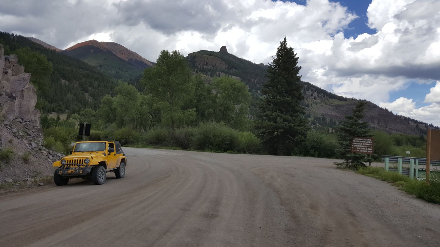
Stay right (southwest) at this intersection with CR 12. You will start climbing here and there are a few switchbacks to negotiate but nothing very tight. About a half-mile after this waypoint there is a rock slab and some steps to be careful on.
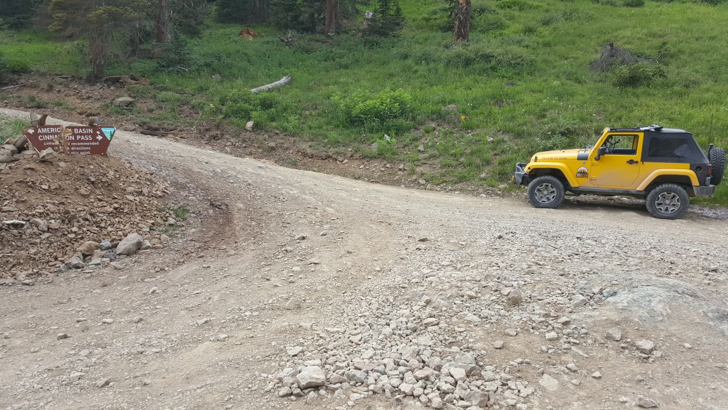
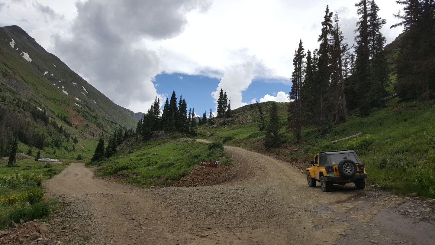
If you would like to head down CR 12 it will take you towards American Basin area.. It's wildflowers draw photographers from all over in July and August for this show of color above the timberline. You can get an idea of the visual beauty of this area here.
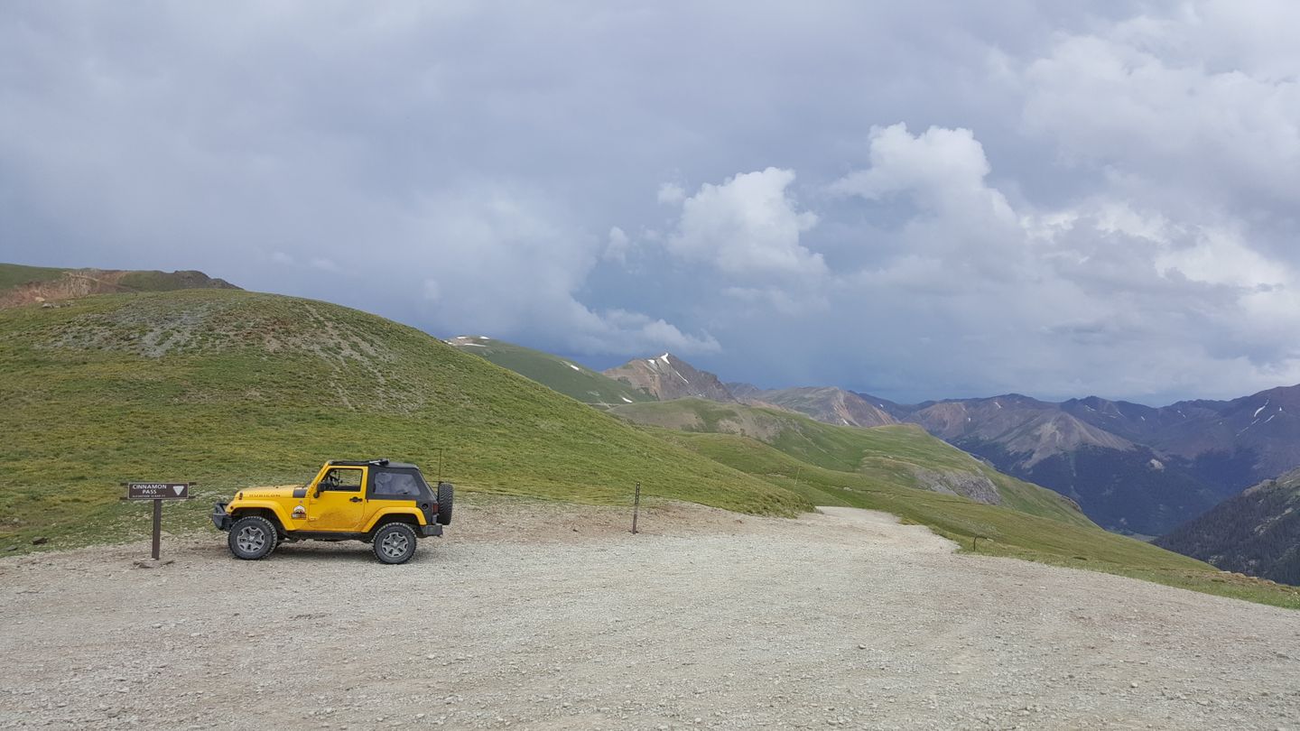
19. Cinnamon Pass Summit (22.7
mi)
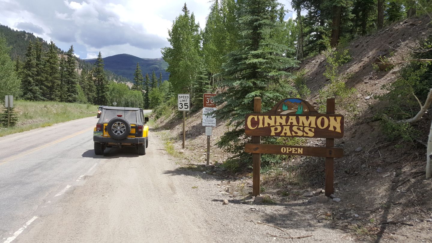
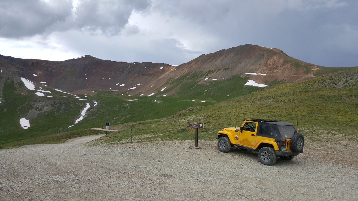
This is the summit of Cinnamon Pass. There is a sign here to indicate where you are and you can see well in both directions from this point. There is often a lot of vehicle traffic here in the morning and early afternoon. Watch for people, vehicles, and marmots! There are a lot of yellow-bellied marmots in the area and they don’t really know to stay away from vehicles and not run across the trail. Take it slow, do not feed the animals, and mind the wildlife in their fragile ecosystem.
Make a sharp right here (northwest). This is the intersection of CR 2 and an unnamed road down to Animas Forks.
22. Trail Ends in Animas Forks at CR 9 (25.5
mi)
The trail ends in the middle of Animas Forks just over the creek. If you travel into the town there are lots of plaques to give you history on the area. Respect the ruins as they are well preserved and should be kept that way for years to come. There is a parking area where you can congregate and do things like air up if you'd like before taking CR 9 south towards Silverton.
Dispersed
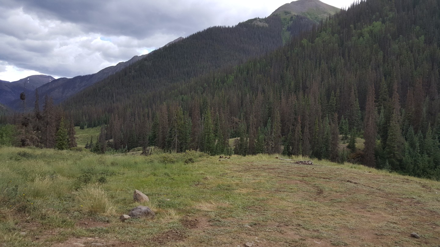
Dispersed camping is allowed, trailsoffroad did see a number of campsites occupied under the timberline since camping above it can be rough. Mind fire notices and a 14 day limit on camping in one spot if you decide to stay along trail.
There are campgrounds near the trailhead including Wupperman Campground near Lake City and is a paid site. One of the largest and busiest campgrounds in the area is the first come, first serve Mill Creek Campground. You have to make reservations or get there early if you want to camp this near to the trail. The peak of the season means that the campsites fill up fast.
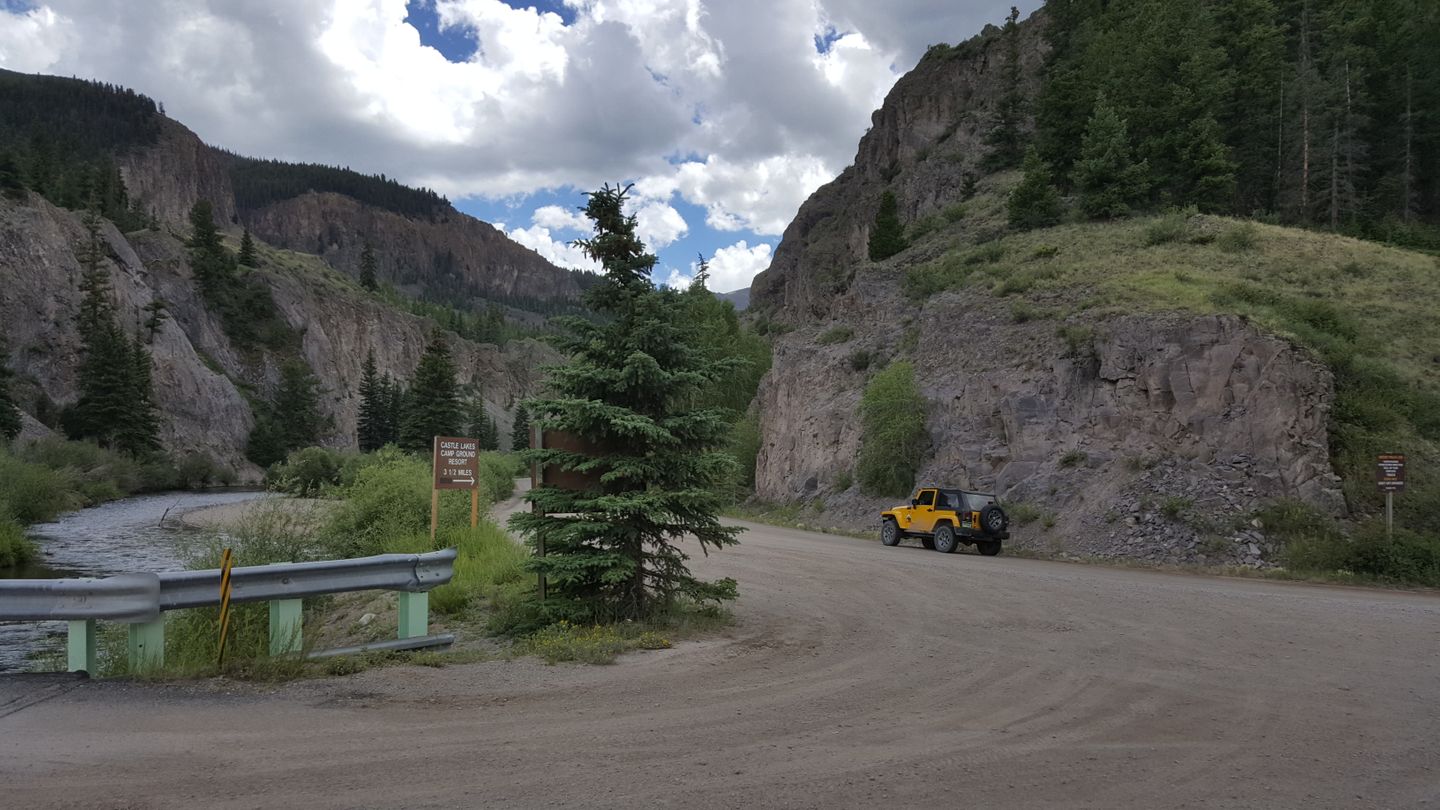
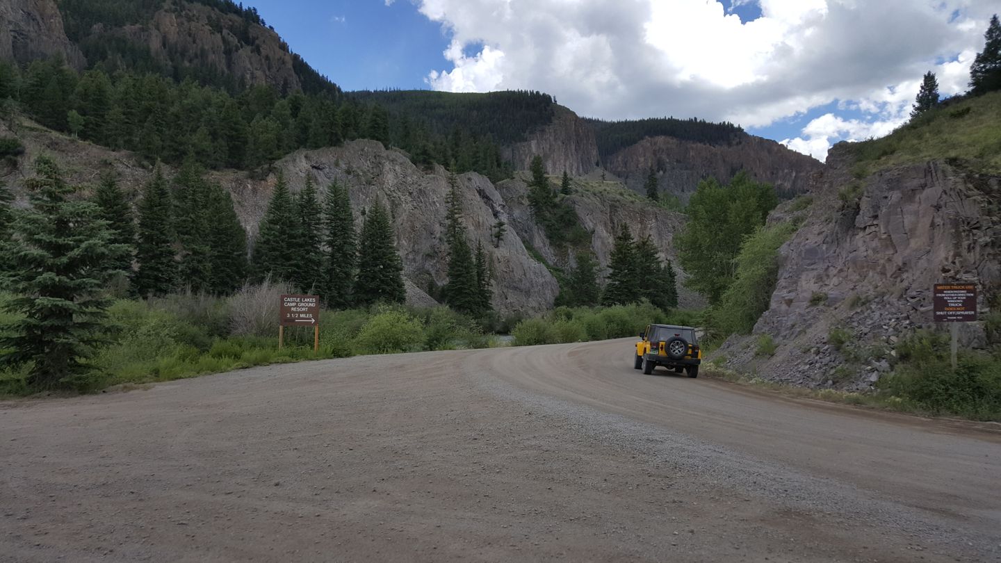
There is lots of lodging available in both Lake City and Ouray, if you're lucky, you might be able to find a room in Silverton. In fact, there is a paid campground called Castle Lake Campgrounds and is in between waypoints 5 & 6 before you leave the pavement. This is a full-service campground with all services, even wifi.
Starting Point
Lake City, CO
Drive south on CO-149 S/Gunnison for 2.5 miles. The trail will be on the right and the signs are easy to see.
These trails are at high altitude and have gotten snow this season as of this notice. Travel on these trails is now considered dangerous and they will announce official seasonal closures of these trails soon.
Not an experienced off-roader but had to try. Came from Lake City in my stock 2010 x-terra and this absolutely tested my limits. Hardly any traffic this late in the season.full bloom aspens and a venture up American boy basin to hike Handies Peak made for an unforgettable experience. The span from American Boy to the Pass was the only real cause for worry. One of the switch backs along with a pretty significant gully? Shelf? above had me on 3 wheels and questioning whether I’d make it home. Great learning experience and will definitely return for engineer pass with an improved setup. Fantastic experience.
Fun trail with great views. The road in places was rough and rocky and there were a few scree covered shelf roads to negotiate, but all in all it was a fairly easy trail.
The shelf roads were also not a problem, as there were good sight lines, which gave me plenty of time to look ahead for approaching traffic. After completing the first half of the Alpine Loop I explored Animas Forks and started to look for a campsite.
Awesome to finally get up to the San Juans. Was my first trail there and absolutely loved it. The power wagon had a hiccup on one of the switchbacks going up but nothing more than that.
Completed Cinnamon Pass beginning in Lake City. I will start by saying I think we could have kayaked for hours at the lake you pass during the first couple of miles. For those looking for a true off-roading experience you will have to be patience until the American Basin Y which is when it begins to slow down. Overall, it’s a fun off-roading experience and very doable in a 4Runner with a small lift which is what we used.
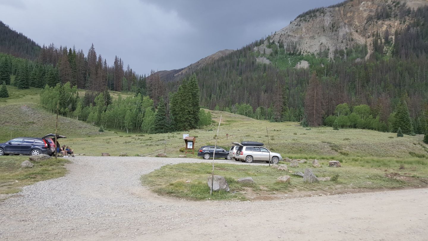
Beautiful trail and I agree with others that after completing Engineer earlier in the day, Cinnamon Pass seems easier. There are still some shelf roads and spots you have to think about your line, but nothing overly technical. There was some traffic but there were reasonably frequent spots to pull over/out to pass or let others by. Did get into some rain towards the summit, which made things interesting but still very passable. Wildflowers were in full bloom and the views were incredible!
Great trail, very scenic. having done engineer pass the day before, this trail seemed easy in comparison. This is a must do if you are in the area. took us about 3-4 hours to complete.
Gorgeous scenery. I think I might have preferred the views on this trail to Imogene and Engineer. Had a little weather come through near the pass and it got cold with sleet. It’s not a difficult trail at all and I did most of it in 2wd.
Cinnamon Pass in our opinion is one of the more epic and scenic routes we have experienced in Colorado. (See photos). We drove it westward from Pine City to Animas Fork on Independence Day in our stock 2006 Ford Explorer. Despite it being a holiday, vehicle traffic was relatively light. We stopped and sauntered for awhile in American Basin. The wildflowers are just beginning to bloom and a myriad of waterfalls added to the eye candy. One high point was a steep cascading waterfall on Cooper Creek in the trees just on the north side of the road east of waypoint 13. If you drive by it quickly, you might not even see it. But, we've lived in Colorado for over two decades and we can't recall a more beautiful waterfall, particularly because of the verdant environment that surrounds it. (It's the last photo in the set of photos...and that's just the upper third of the falls, the entirety of which has dozens and dozens of terraces over which the water flows.)
Regarding the technical rating, I (Chuck) would have agreed with many of the reviewers that this is easier (2 rating) were it not for the first of four switchback that make the final ascent to Cinnamon Pass. That particular turn is, in my opinion, is what makes this route a 3...at least that's how I see it. So, I rated it Spot On for that reason. Specifically, this switchback turn that was too tight for my truck chassis and had a challenging rock pattern that necessitated a creative 3-point turn to get us in position to even begin the process of choosing a path over it. Drivers of stock SUVs (8.9" clearance) such as ours should be forewarned that this turn will take a bit of patience to get into position, but it is passable if your choose a line right down the center keeping your left tire on the larger rock on the left.
Also, on the narrow shelf road to the west of waypoint 10, we encountered a long stretch where the road was too narrow for multiple vehicles and we were met with oncoming traffic. The driver of the first oncoming vehicle exercised exceptional etiquette and kindness in stepping out of his oncoming vehicle, consulting with me and then walking behind my vehicle where he helped direct me as I put my vehicle in reverse and drove it backwards a couple hundred yards along a very steep cliff to finally a point in the road wide enough for the traffic to pass. #SphincterMomentForSure #FellowTrailRiderComesThrough
Ran this from Lake City to Ouray. The vast majority is simple dirt road till the last 1/4 of the route. i.e. it's easier than you'd expect and airing down is more helpful than 4WD. A note for those looking for camping there are several campgrounds but what I would call dispersed camping is pretty sparse. Conditions were pretty much ideal on the road.
Trail is now open Silverton to Lake City. San Juan County opened their end a week or so ago and Lake City is reporting Hindsdale County opened their end this week also.
The area received 10+ inches of snow yesterday with another snow quickly behind it. These trails are to be considered largely impassable at this time due to increasingly deteriorating and dangerous conditions. Look for these trails to be open again in the Spring.
Lake City to Silverton. I drive a 2nd gen tacoma with a 2" lift. Really fun and beautiful trail! It's rated the same as Imogene and I think its much easier.
Absolutely stunning views!! We did this during the fall and the leaves are Amazing ! So much history! Camping spots are hard to come by on weekends so grab a spot early. Slow going and steep in parts. You definitely want low 4wd. We did this in a Jeep Liberty Bone stock and crappy tires, it was not happy .
Did the trail from Animas Forks to Lake City. Great views from the pass. In the valley after the pass the Aspens we’re already showing brilliant yellow leaves. Stunning natural beauty. There were a few rocky parts but nothing majorly challenging. Took a side trip from the Cinnamon Pass trail to Carson. The tight switchbacks and some rocky areas on the trail to Carson added some challenge to the overall trip. What buildings that are left in Carson are in great shape and definitely worth the time and effort to get there.
First time on the trail and thoroughly enjoyed it. I was expecting it to take a long time based on the trail guide saying 4 hours. I drove this in 2 hours and was not going very fast. I pulled over for anyone behind me and got passed several times. I’ve also seen several people use the word “boring” in their review of this trail but I did not find it to be boring. I thought the views going east to west were excellent. There are some other side trails you can drive but I didn’t. Overall an easy road and full of side by sides.
Ran the loop CW out of Lake City on Thu Aug 12. Fairly quiet day with only ~15 Jeeps and 25-30 OHV/other vehicles. Took about 5-5.5hr with a few quick jaunts to the sights, but not many since the kids were a little car sick. It has been 17-18 yrs and many vehicles owned since we ran this last; it felt good to get out again..
Very scenic and classic ride, with some definite moderate spots west of Cinnamon Pass, on the connector, and west of Engineer Pass. The first and last quarters of the loop we ran in 4H, and the middle half in 4L disconnected in a stock 4xe Rubicon wo lockers; no issues and probably didn’t need to get out that one time, but some of the switchbacks are tight and have deep ruts.
We could see some of the recent washout repairs, but nothing was very concerning. While scenic, I agree that Cinnamon is a little more boring than Engineer Pass. Next time I might take Engineer connecting to Silverton, or to Ouray and over Imogene.
Camped at Wupperman and left from there. Trail was mostly dirt road with some two track. American Basin was a beautiful side trail to the meadow! The trail was not difficult but if you are not used to shelf roads it was a bit nerve racking. Drop into Animas Forks is pretty cool and the trail is very scenic. Lots of alpine driving and clean air - take your time and enjoy it!
Started the trail in Lake City as part of a camping and hiking trip and to drive the entire Alpine Loop. The first part of the trail to the camp site near Cooper Creek trailhead was pretty easy with minimal obstacles. One of our friends we were camping with drove this part of the trail in a Honda CRV. This part of the trail was very busy and there were vehicles running back and forth into late evening. At one point we felt like we were camping next to I-25 (HaHa).The next morning we hiked to the top of Handies Peak (14056 ft) and then parted ways and we continued the drive up Cinnamon Pass to the Alpine Loop Connector. This part of the trail was a bit more of a challenge for a novice 4 wheeler like myself. I have never driven anything like this before. There were several switchbacks that I found a bit challenging to maneuver over due to the rock mound obstacles and the angle of the approach to get over them. The steep angle of ascent added to the challenge at the switchbacks. The views at the top of the pass were stunning. There were a lot of vehicles running in both directions on this section of the trail. The rest of the drive down to to the Alpine Connector was also pretty easy.
Not a bad trail in the area but not as scenic as some of the others. This trail gave us access to the American Basin trailhead to hike Handies Peak, so that bumps up the star rating a to a 4 (I would have rated this a 3 otherwise).
This is a great trail with some good hiking opportunities along the way. Camping opportunities are not as good as some of the others if that's what you're into.
The general consensus of the group was this trail was a bit boring compared to others in the area. Had quite a bit of traffic and lots of folks that don't understand right of way or sharing the trail. Saw some rather stock street vehicles in clouding a couple of Tahoes, and even a Hyundai sedan. The best thing about the trail is the bathrooms along the route. They aren't too dirty and better then trying to find a tree. The pass has some great views and the road overall was pretty easy. I would say without the shelf it is closer to a 2 and not a 3, the shelf would give folks issues if uncomfortable. The last part of the trail, lake city side, is a county dirt road with a 25 and eventually 35 MPH speed limit. Not really an offroad trail at that point. Wouldn't go out of my way to do this one again, not bad the first time but no desire to repeat.
Great easy/moderate trail for a 3rd generation Tundra with a small lift. Nothing technical on the Lake City to Animas Forks run, just some squeezing by fellow off-roaders and a couple k turns on the tightest switchbacks. Easy access to beautiful alpine country and great truck camping.
Just a note to the information about this trail...... Cinnamon pass is NOT a jeep recognized badge run trail. When run as the Alpine loop the Engineer pass portion IS recognized by Jeep as a Badge run.
We ran this trail from Lake City to Animas Forks. Great trail and great scenery. It was a little rocky right at the end going down from the pass into Animas Forks but otherwise it was pretty easy.
An enjoyable trail and a long , simple tail until go get to the accent. Long day if done with Engineer Pass and Rd 2 into Silverton. Very beautiful trip and probably much more enjoyable when less crowded than Labor Day Weekend.
Awesome trail. Nothing was too challenging even though I did it in the pouring rain. There were a couple places where 4LO was needed but I did most of it in 4HI. I didn’t get to see any of the views because I was in the clouds but I actually enjoyed the added “mystery” of the bad weather! I linked up with Engineer and headed to Ouray after finishing Cinnamon.
Ran from Lake City to Animas Forks, camped at American Basin. From Lake City to American Basin, was well maintained with the majority of the trail wide enough for two vehicles. We found a campsite at American Basin, which provided us a phenomenal view for breakfast the next morning (pictures included). The remainder of the trail, American Basin to Cinnamon Pass, was unbelievable. This was the trail that convinced my fiancee that the 4Runner was worth the purchase!
Ran the Alpine Loop on 7/31. Cinnamon Pass road was great! It's the low end of "Moderate", esp compared to Engineer Pass (the first 5-7 miles on the Ouray side of Engineer was "Difficult" at least!). The views are amazing. The trail itself is somewhat challenging, with a lot of loose roc. ks (some quite large) and a few rock faces to climb. A few sections of shelf road are narrow and rocky, but nothing too scary. Great run!
Spectacular. We did this trail west to east first thing in the morning after camping south of Animas Fork. Difficulty wise I thought this was on par or easier than Corkscrew/Hurricane/California passes that we did the day before. 2-3/10 might be more accurate.
We did the side trip up Wager Gulch to Carson City ghost town. Well worth the trip and slightly more technical (3-4/10).
We ran Cinnamon as part of our Alpine loop run. We camped in Animas forks and ran to lake city. The road was beautiful at 12k feet early in morning. I hear we got lucky because the road has been closed due to landslides
There have been some mudslides and Cinnamon is currently closed while they do repairs. See the pictures to get an idea of the damage they are working to repair. Expect the trail will be closed for some time.
The trail is open to Waypoint 18. The county has closed off the road past there due to snow. Here is the update from the county: County Road 30 (Cinnamon Pass) is open to American Basin. Thanks to David Nelson for this look at the basin taken yesterday. Still lots of snow. Use caution when traveling in the backcountry and around waterways.
Remember the road is closed to all vehicle traffic beyond the basin turnoff. DO NOT go around the barricades.
Cinnamon Pass is now partially open.
"ROAD OPENINGS!
- County Road 20 (Engineer Pass) is now open to Thoreau's Cabin.
- County Road 30 (Cinnamon Pass) is open to Burrows Park.
- Stay off avalanches, snow bridges and debris piles. They can easily collapse.
- Watch for log jams and pooling in the waterways. Water is still running high and fast, avoid roads and trails that cross streams.
- Be aware of changing weather conditions and rain events.
- Snow may still be present on high elevation trails and peaks." - Hinsdale County
Great road with wonderful views! The Wife & I bagged the 14er Handies Peak too. Super fun trip, and worth the hike. We saw pikas hiking up, and marmots hiking down.
Drove the Cinnamon Pass road on Saturday from Lake City to Animas Forks with a group of Isuzus from Isuzu Wheelers (Facebook group). The road is open, and mostly dry/dusty. Lots of Jeep/SUV and ATV/UTV traffic.
Spoke with the Forest Service today to verify that this trail is NOT part of the San Juan Mountains closure for fire. It is confirmed with the Durango Forest Service office that this trail does NOT run through the San Juan Forest and is not impacted by the current closure.
Check back here often as conditions will be updated throughout the summer.
The Alpine Loop is open all the way through as of today.
Ice and snow may persist in some spots so proceed with caution for the next few weeks but the trail should be easily passable in all places.
Hinsdale county announced today that Cinnamon Pass is open now. (Very early for the season)
It is still spring in the mountains and ice and mud still exist up there. Use caution and judgement when traveling on these trails.
The FS has announced that as of today this trail is closed at the top by snow and that they will not recover vehicles on these trails until spring. The trail is impassable at this time but trailsoffroad will update the status as soon as the trail opens back up in the spring.
The trail was clear all the way through with nothing out of the ordinary to note about the trail. Some passing storms scared off a lot of people and I ended up at the summit for almost 20 minutes by myself in the afternoon. It was peaceful to say the least. Since the day was coming to an end the small animals were out and the marmots were not happy I was rolling through.
This is a excellent drive as part of the alpine loop from lake city back to ouray or silverton , it’s a easy 2wd drive. Be sure to go through animas forks, it’s a neat area . Another good write up by JD
From the Community
Be the first to ask a question!
JD Marshall
Mapping Crew - Colorado
Jen & JD moved to Colorado from Chicago in May of 2015 for work and brought with them a 2001 stock Jeep Wrangler that had been garage bound for two years. Within a month of arrival, all rusty 170,000 miles of it was shaking on Colorado trails and they've never stopped. As time as gone on, their 2001 TJ had to be traded and a 2015 Jeep JK has been added to the family.
JD works as a Systems Engineer for a cable company and Jen runs a business from their home during the week to pay the bills. When the weekend hits, they're almost always hitting the trail. When Sunday night rolls around, the question turns to, 'so what's next week?!'.
By clicking "ACCEPT", you agree to be the terms and conditions of each
policy linked to above. You also agree to the storing of cookies on
your device to facilitate the operation and functionality of our site,
enhance and customize your user experience, and to analyze how our
site is used.