Please wait - Uploading to Gaia GPS
Engineer Pass

Trail Information
Difficulty - Mandatory
4 -
MODERATE
Difficulty - Optional
4 -
MODERATE
Status
Impassable
Distance
28.3 mi
Duration (one-way)
About 5 hours
Highest Elevation
12903 ft
Shape of Trail
Straight Through
Typically Open
06/01 - 09/30
Best Direction
East
Official Road Name
FS 879 & CR 18, 17, 2, 20
Nearest Town
Ouray
Nearest Services
Ouray
Management Agency
Bureau Land Management
District
Gunnison Field Office
Highlights
In the late 1800’s, miners started digging for gold, silver, lead and other ore in the San Juan Mountains. They needed a way to get people and the ore out to the nearby towns. Those roads left by the long-abandoned mines are now some of the most famous off-road trails in the books. Engineer Pass is one of them and is part of a trail now known as the Alpine Loop.
This part of the Alpine Loop starts in two places actually. This trail as written here starts near the city of Ouray, CO and goes almost 30 miles to Lake City, CO. If you are running Engineer Pass as part of the Alpine Loop, then read up on Cinnamon Pass, and the Engineer Pass/Alpine Loop Connector and you will start Engineer Pass at waypoint 11 on this guide. Regardless of where you start this trail you get a chance to test your skills, explore the backcountry and old mining towns of Colorado, and even touch the skies along the way.
There are multiple mine ruins to view and explore the grounds of along the way including the Hard Tack Mine and the Michael Breen Mine. Some are marked clearly and some are not. You should not enter structures or disturb the area in any way, but what you can see from afar is well worth the stop at these historic places.
If you’re looking for scenery, then you'll find spots all along the trail worth stopping for. Mile after mile provides new and more amazing views of Colorado and the San Juan mountains. Oh Point and the official summit have breath-taking panoramas of the mountains. Each stop gives you another sweeping vista and you can spend a whole day just taking in the views.
Those looking for altitude will find that this trail goes well above the timberline at just over 12,900’. With the altitude comes stunning views of the mountains to the north including the Uncompahgre, Coxcomb, Wetterhorn and Wildhorse mountain peaks. The view is so expansive at Oh Point that on a very clear day, you might be able to see all the way to Utah if you turn your eyes to the west.
This trail is relatively easy and for everyone from the beginner to the experienced. It offers something for the whole family along the way. While this trail isn’t rough, it is a true off-road trail and will test your fortitude with shelf roads and some of the early rocks and obstacles.
For Jeep owners, there’s a special note here. Jeep has designated some trails as Badge of Honor trails and this is one of the few in Colorado. Its fame means that Jeep will recognize if you ran it and provide you with a badge to put on your rig showing you completed the trail.
Trail Difficulty and Assessment
Recommended Vehicle:
Stock SUV with High Clearance and 4 Low
Concerns:
Summary:
The start of this trail gives it the rating as there are some rocky sections.
Community Consensus
0 votes
11 votes
14 votes
Easier
Spot On
Harder
The weighted average of your fellow members agreement of our trail rating. As trail conditions change this helps us keep the community aware of changes.
Mandatory
4 -
MODERATE
The hardest part of the trail that you
cannot bypass - you have to drive it.
Optional
4 -
MODERATE
The hardest part of the trail that is
purely optional - you can bypass it.
Typically, more rock or undulated road surface. Potential rocks and/or tree stumps less than 18" tall and/or vertical ledges less than 18" tall and/or near vertical ledges or waterfalls less than 36" inches. Tire placement becomes more difficult. Can be steep and off-camber. Read More about our Rating System
Start your next adventure on Engineer Pass

Upgrade your Membership
Unlock all of the details on every Trail Guide and Scout Route.
Start a 7-day Free TrialUploading to Gaia GPS
Share Trail
Trail Navigation
This nearly 30-mile trail starts off on the rougher side and eases up as you get through it. It connects straight through from Ouray, ending in Lake City. While there are no major obstacles to be worried about on this trail, it is long and some of it is rough and worth airing down to make the day a little less bumpy.
At the start of the trail, you will run into lots of rocky sections, boulders, and some rocks to climb up. The intersection at Poughkeepsie Gulch is completely rock and can be VERY slick if it’s wet for any reason and snow can be downright treacherous. There are multiple areas of shelf road on both sides of the vehicle. Be prepared for these drop-offs and always remember that uphill traffic traditionally has the right of way.
This trail travels well above the timberline and much if it is fragile alpine tundra. It’s extremely important that travelers follow the trail and do not deviate from it. The damage one vehicle can do by going off-trail can take years for the area to recover.
Since this trail falls into the iconic category, it’s traveled by lots of people every year. Because it is one of the easier trails in the San Juans, it is a popular trail for both experienced drivers and people out for the weekend with rented Jeeps and ATV’s.
Large SUV’s are going to have trouble maneuvering on a trail like this in places, but just about any vehicle with clearance can make this trail if they take their time.
To run the Alpine Loop in it’s traditional route, start in the town of Lake City. Go south and begin the loop at Cinnamon Pass. When you get to waypoint 20 on Cinnamon Pass, turn right (north) and head uphill towards Engineer Pass. After 2.1 Miles the Engineer Pass - Alpine Loop Connector ends, turn right (east) to pick up Engineer Pass at waypoint 11 back towards Lake City.
There is lots of 4x4, ATV and bike traffic on this iconic trail.
1. Ouray Area Trailhead (0 mi)
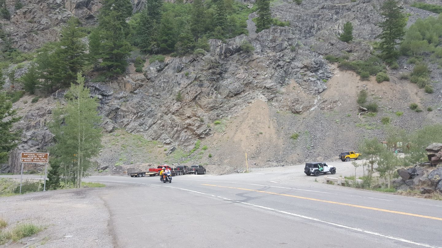
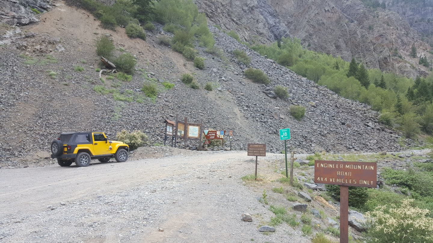
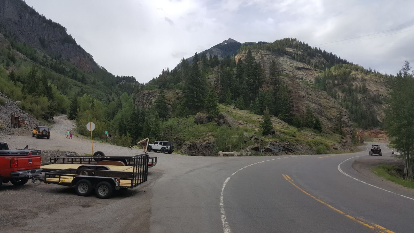
This is the main trailhead if entering the Alpine Loop via the Million Dollar Highway or if you’re just running Engineer pass by itself. There is an additional entrance to Engineer Pass that connects Cinnamon Pass to Engineer Pass to complete the iconic Alpine Loop.
The trailhead is very large and well marked with signs. You’re likely to see vehicles and trailers parked at the bottom in the large meeting area which is also easy to air down in.
2. Silver Link Mine Road - Stay Straight (0.8 mi)
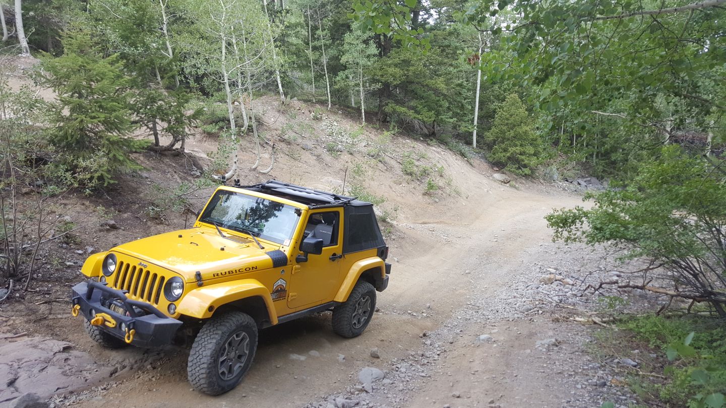
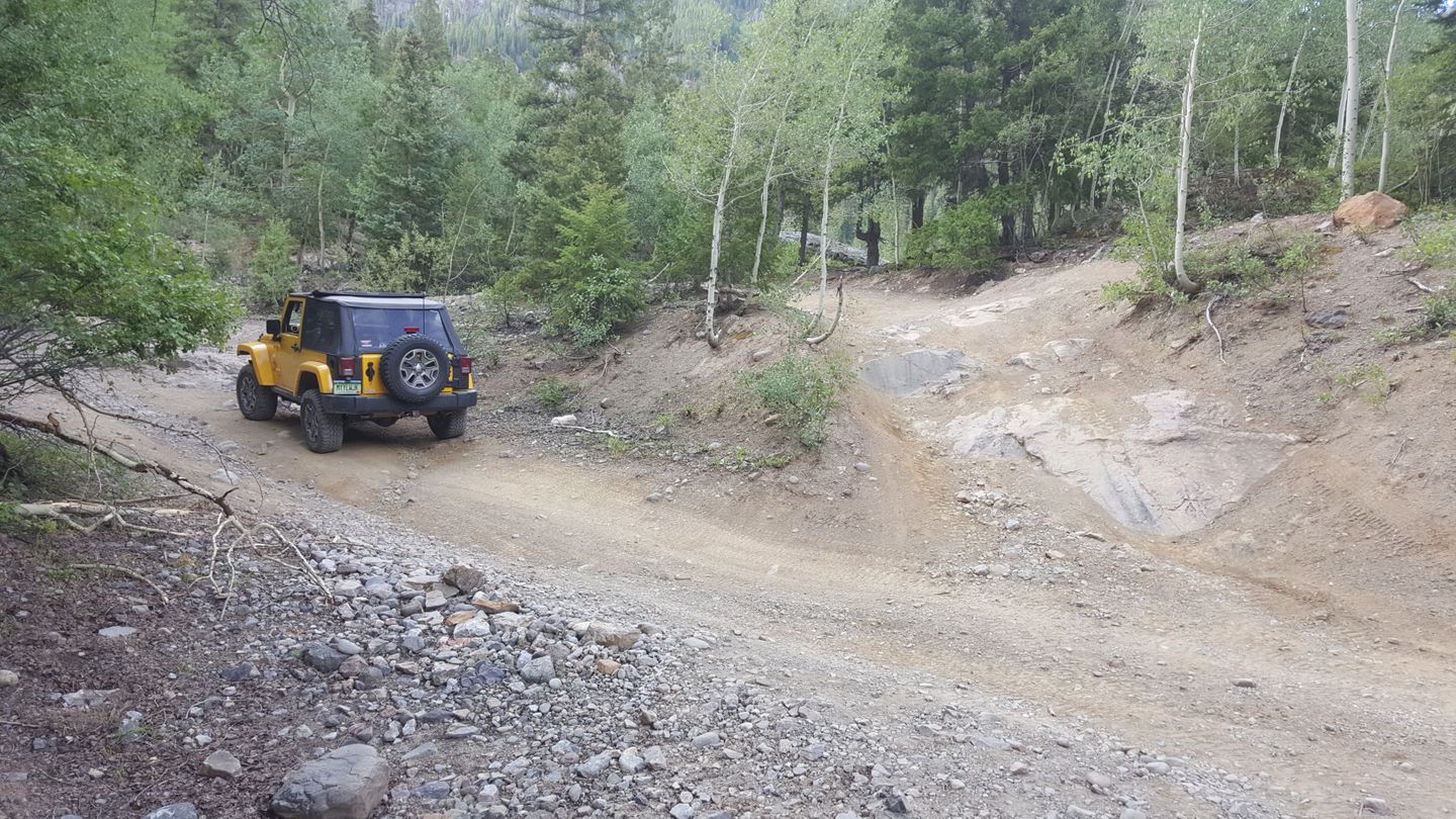
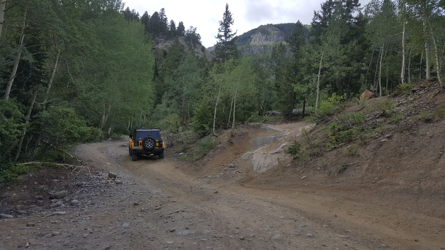
Stay straight at this spur.
3. Rock Steps (0.9 mi)
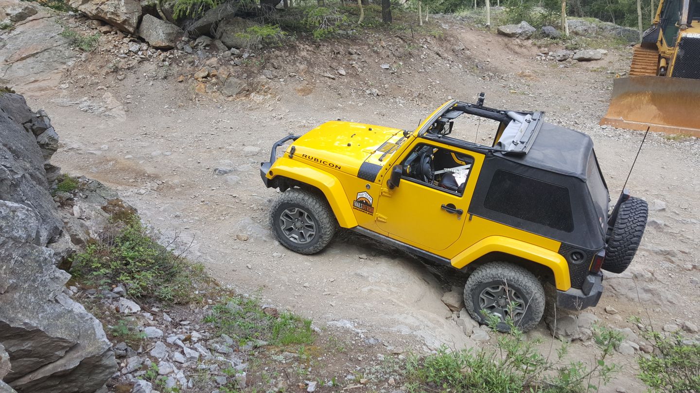
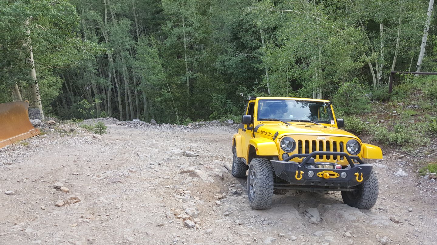
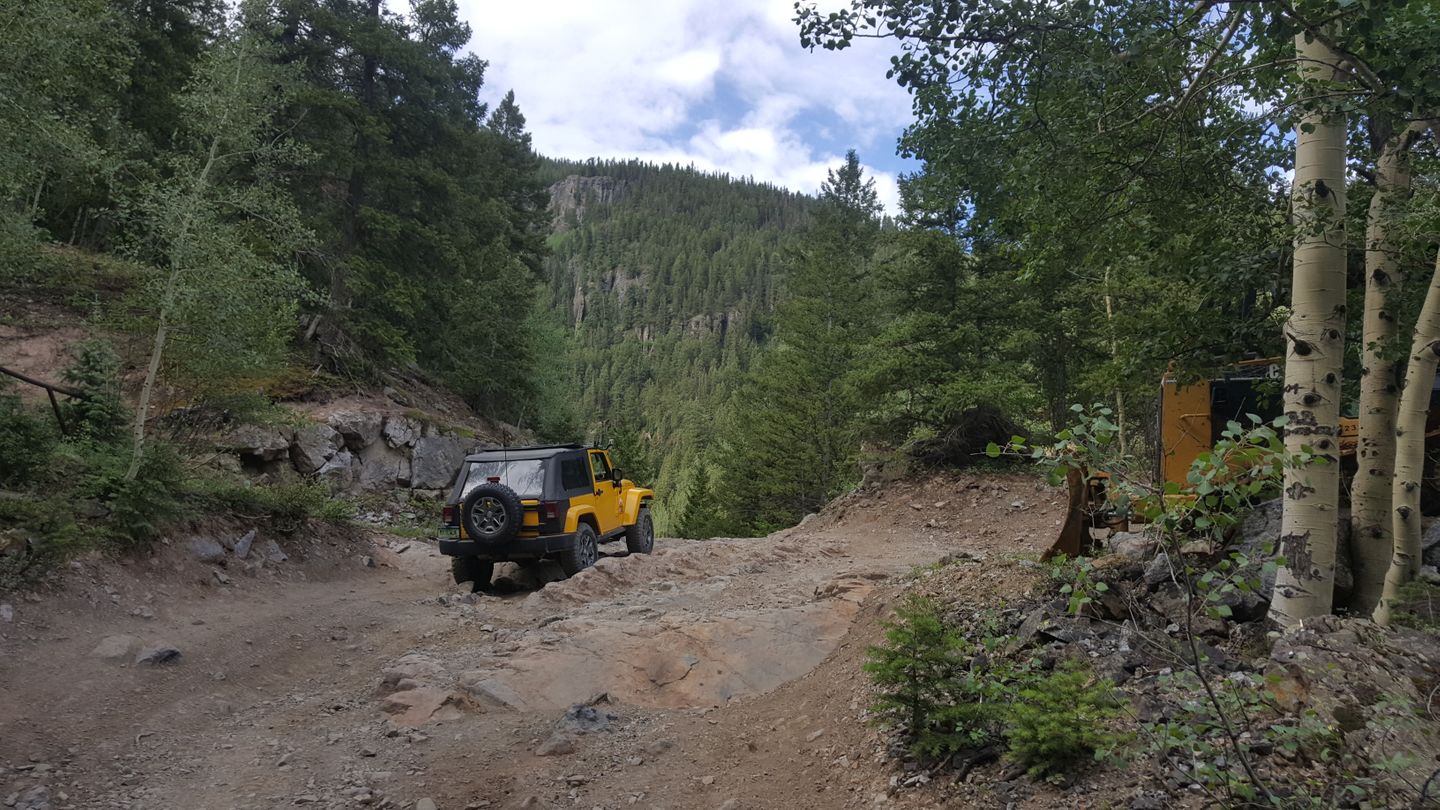
This is a notable obstacle as it helps give this trail a slightly higher difficulty rating. These rock steps are not avoidable, looks can be deceiving. This area is very passable but shouldn’t be taken lightly.
4. Michael Breen Mine (1.7 mi)
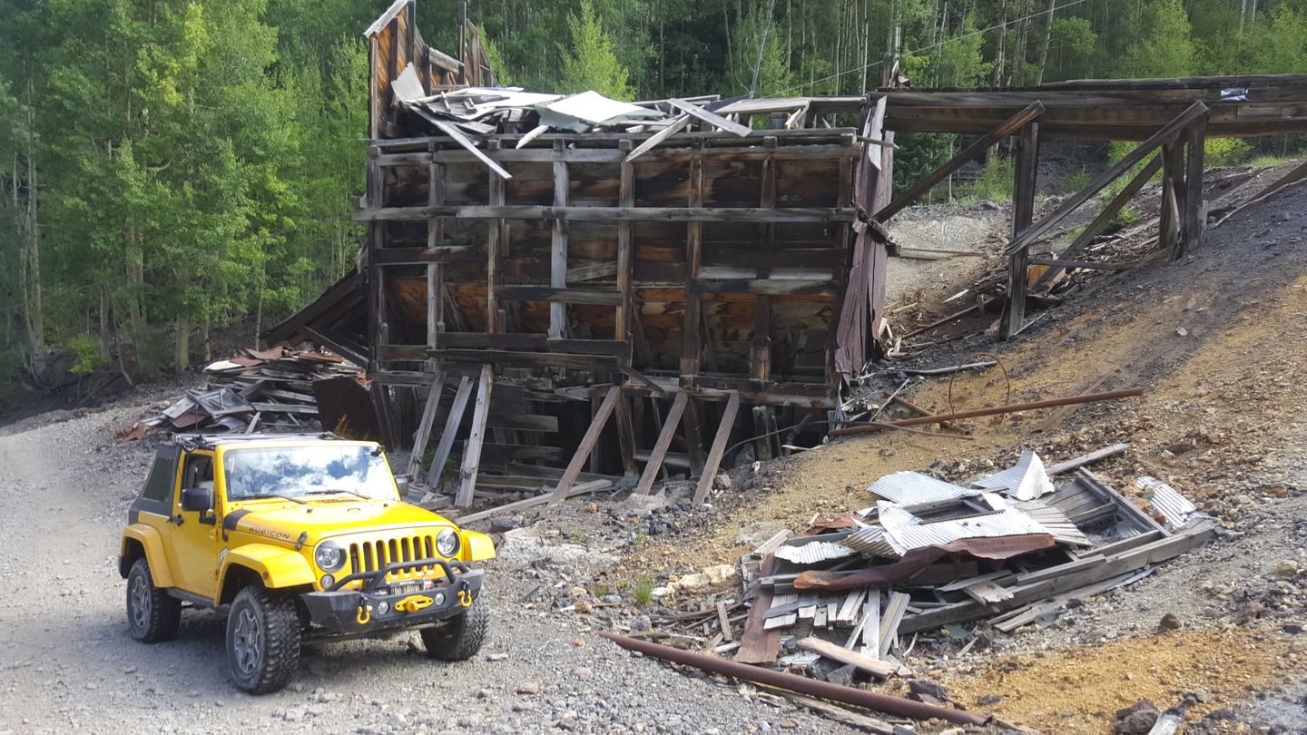
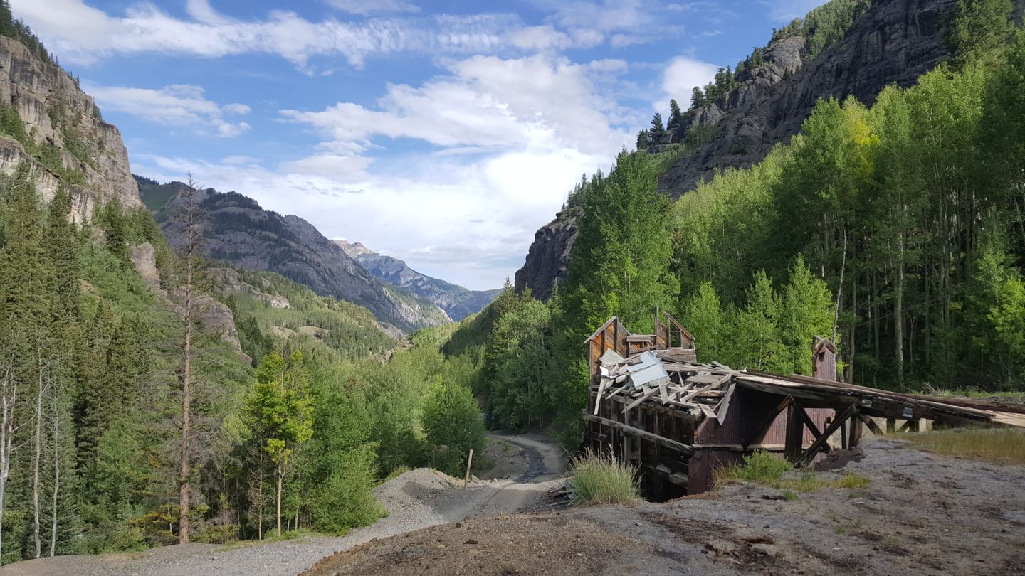
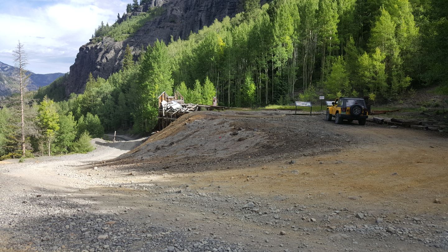
Stay straight (southeast) here and as soon as you pass the mine, you will come across a rocky incline.
If you stop, you can turn up a small hill to the top of the Michael Breen Mine. The site has a small parking area at the top that a few vehicles can stop at to take in the scenery and learn a little about the mine.
5. Stream Crossing (2.1 mi)
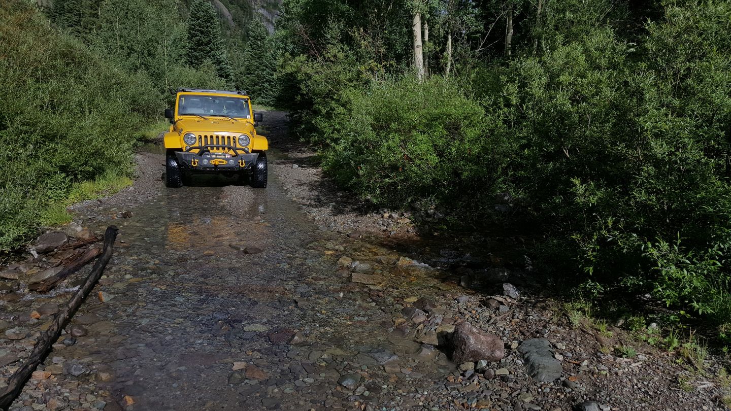
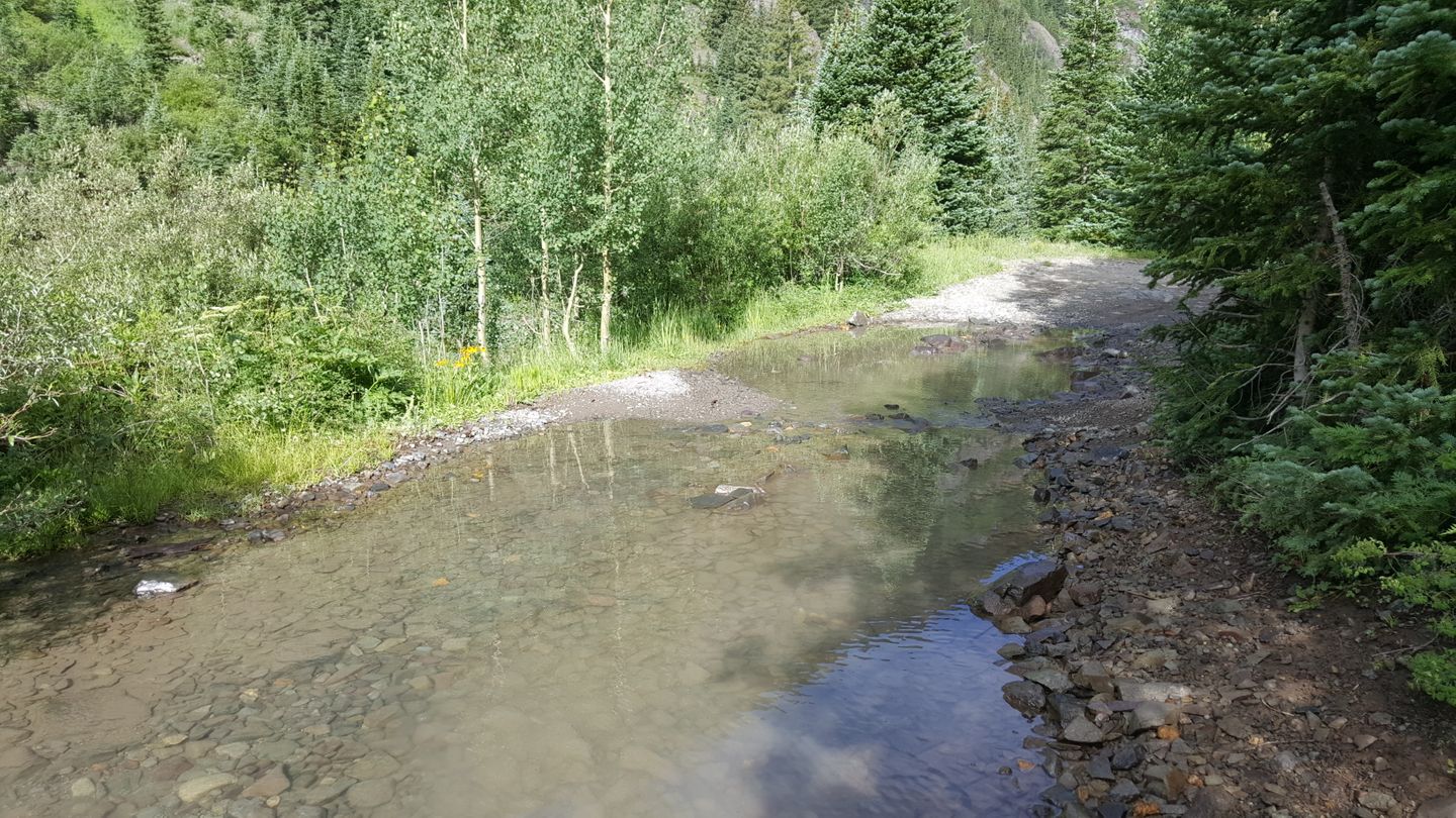
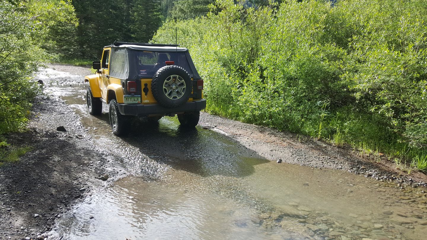
There is a small stream crossing here that can be faster in the spring melt off. There is another rocky climb in store after this stream.
6. Intersection with Poughkeepsie & Rocky Climb Start (2.5 mi)
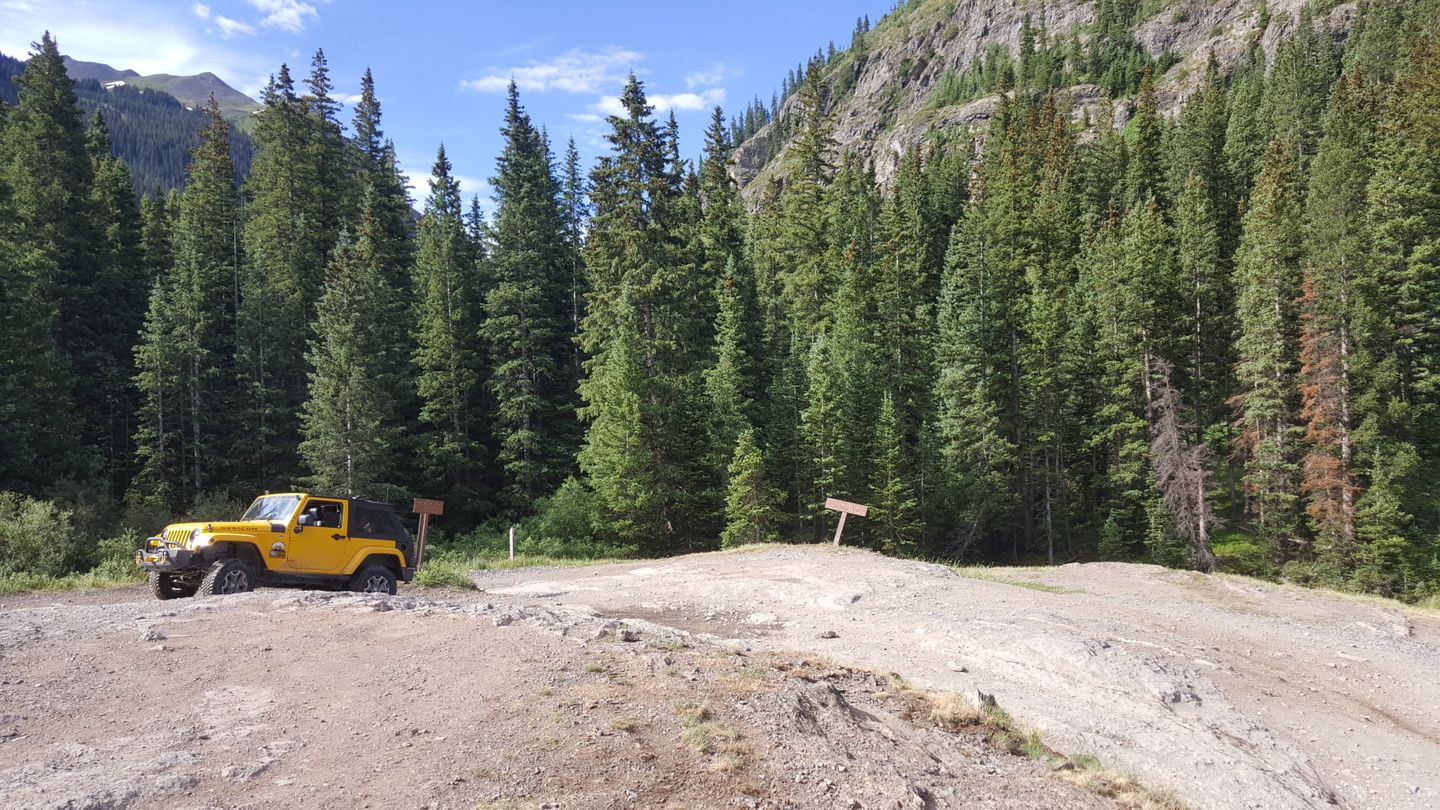
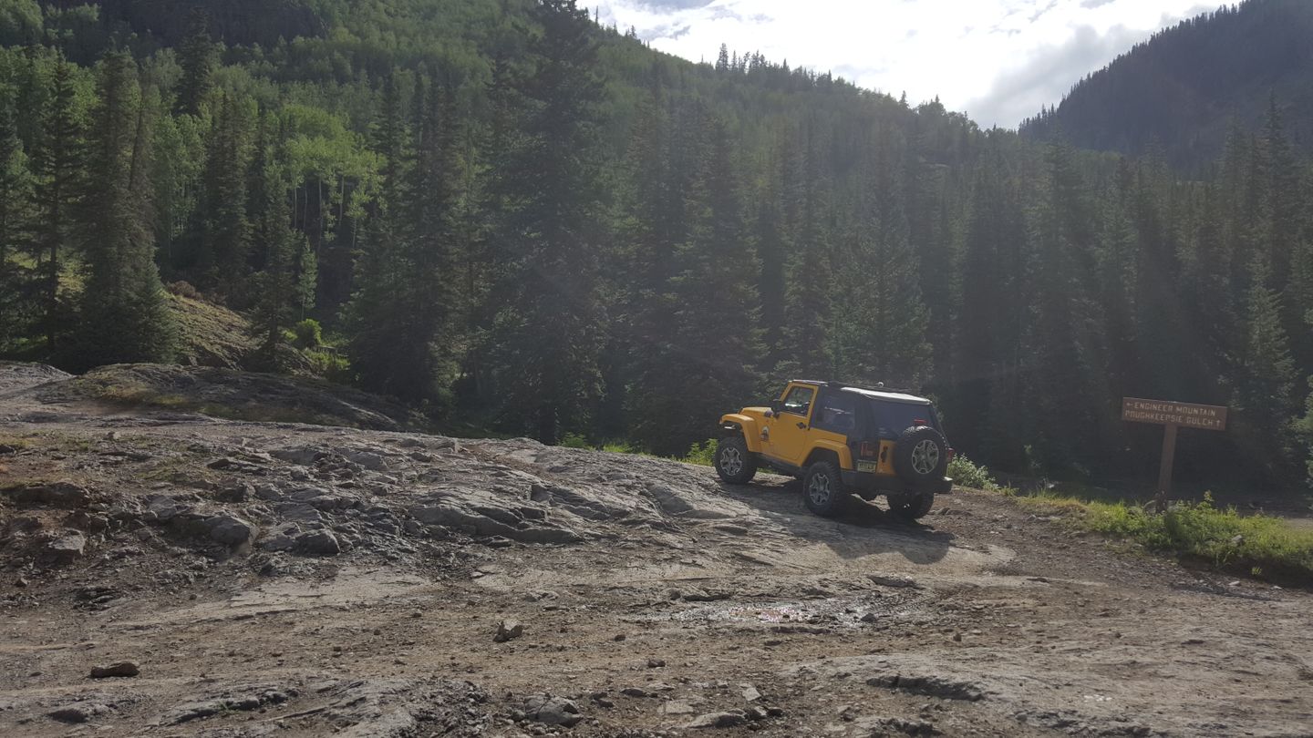
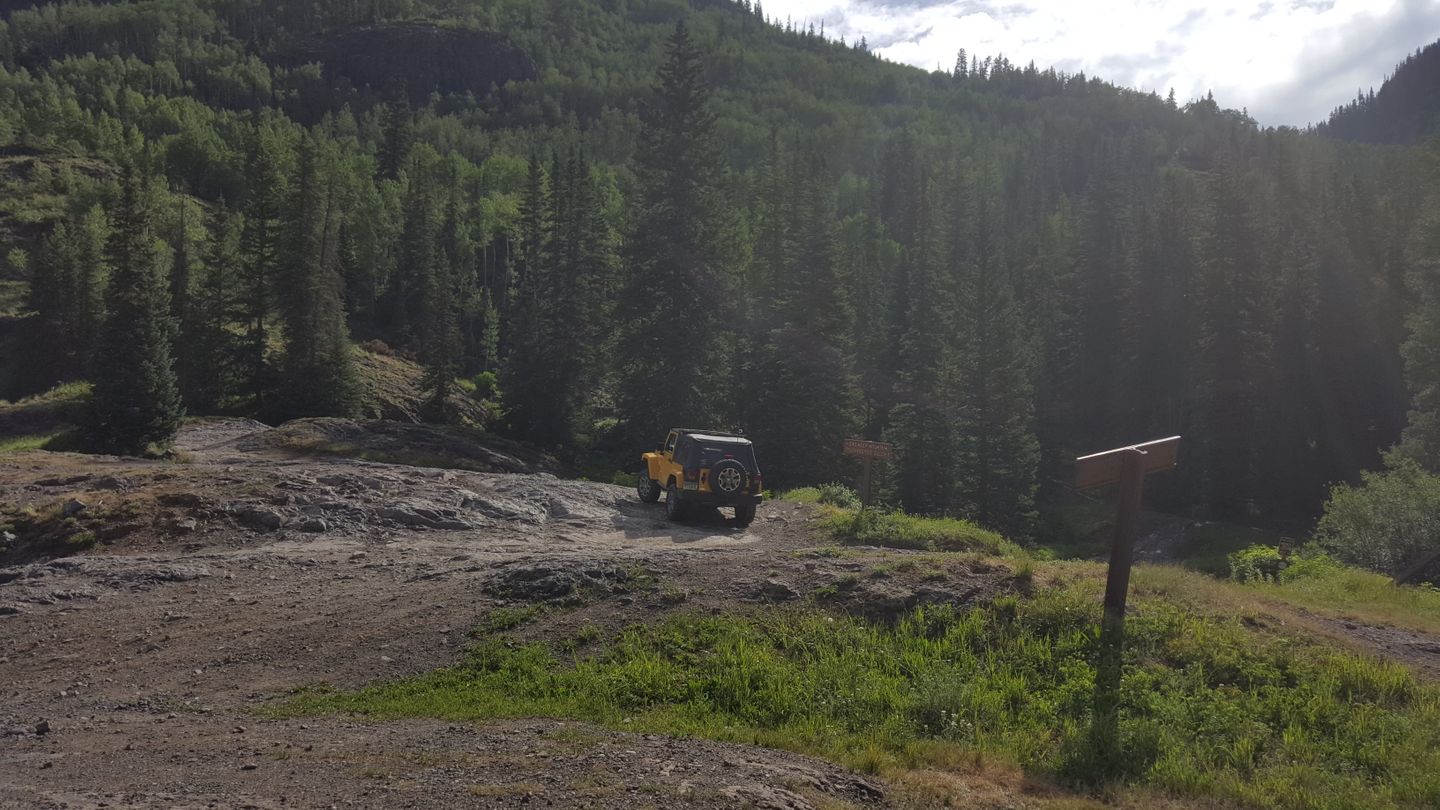
Stay left (north) and climb up the rock face to get onto Engineer Pass. To the right (southeast) is the famous Poughkeepsie Gulch. This starts a little less than a mile long rocky climb that includes four switchbacks and rocks in excess of 8in tall around and sometimes on the trail.
Special note for waterfall lovers. If you turn off your engine, you'll hear the roaring creek near the trail. A short walk to the creek leads to a fast moving and beautiful waterfall. It's well worth the stop, especially in the spring when the melt water is rushing.
7. Campsite (3.6 mi)
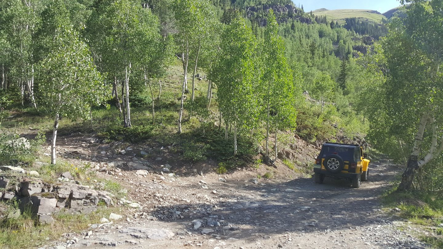
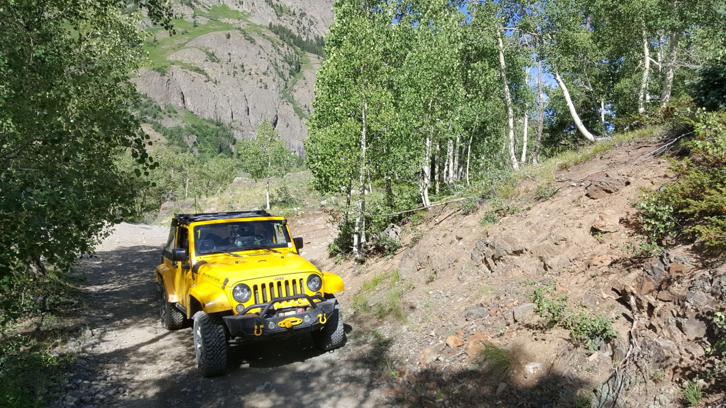
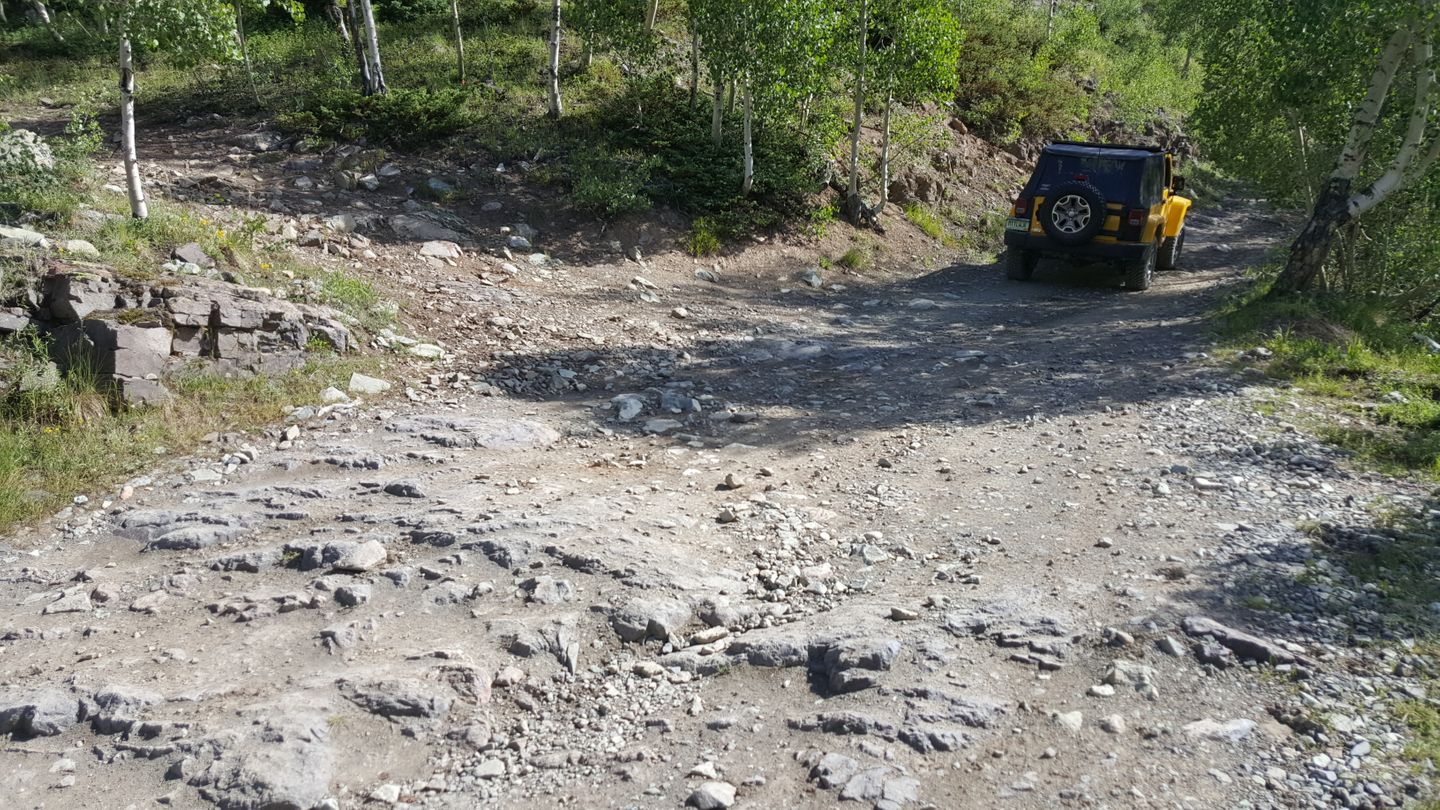
Stay right (northeast) at this camping spur. These switchbacks end here and it flattens out a little bit for a while.
8. Unauthorized Spur (4.4 mi)
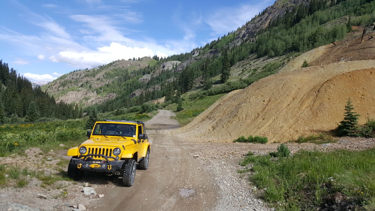
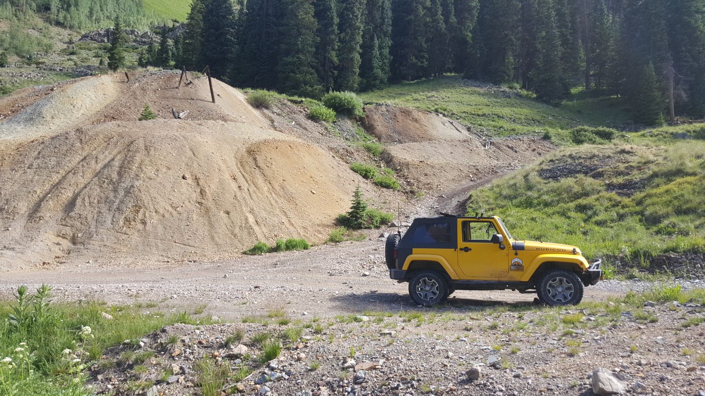
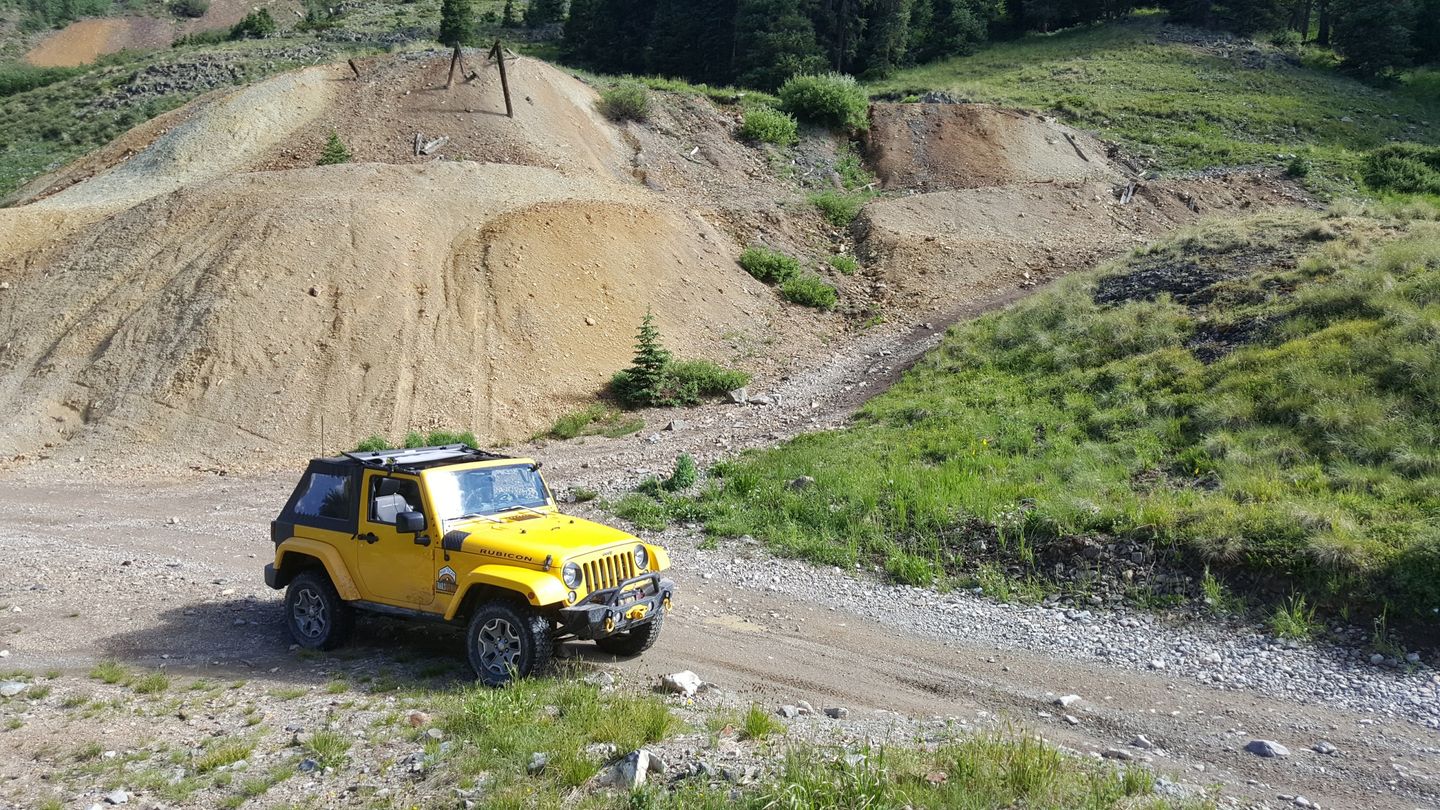
Stay right (southeast) at this unauthorized spur.
9. Intersection with County Road 18 (5.4 mi)
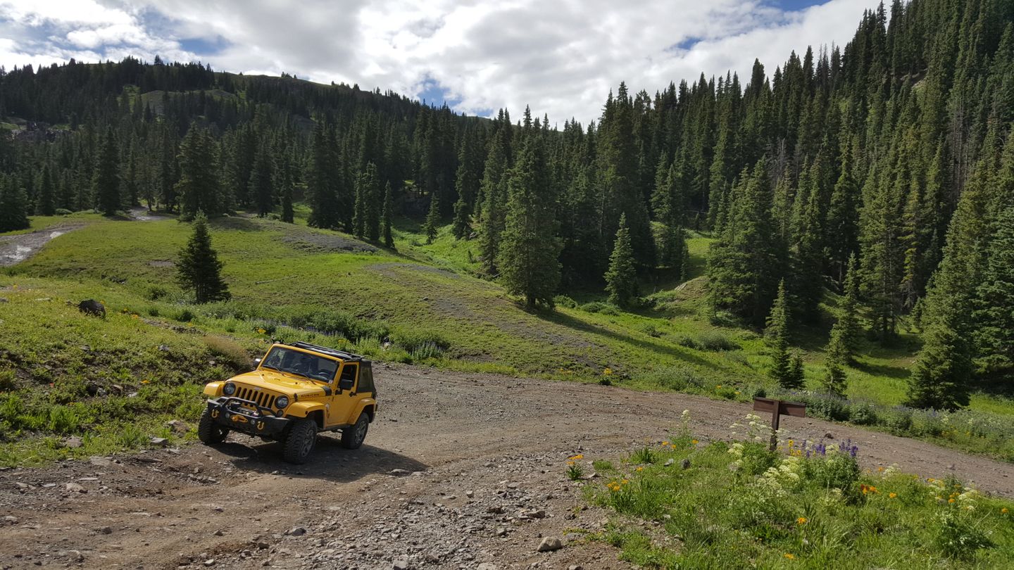
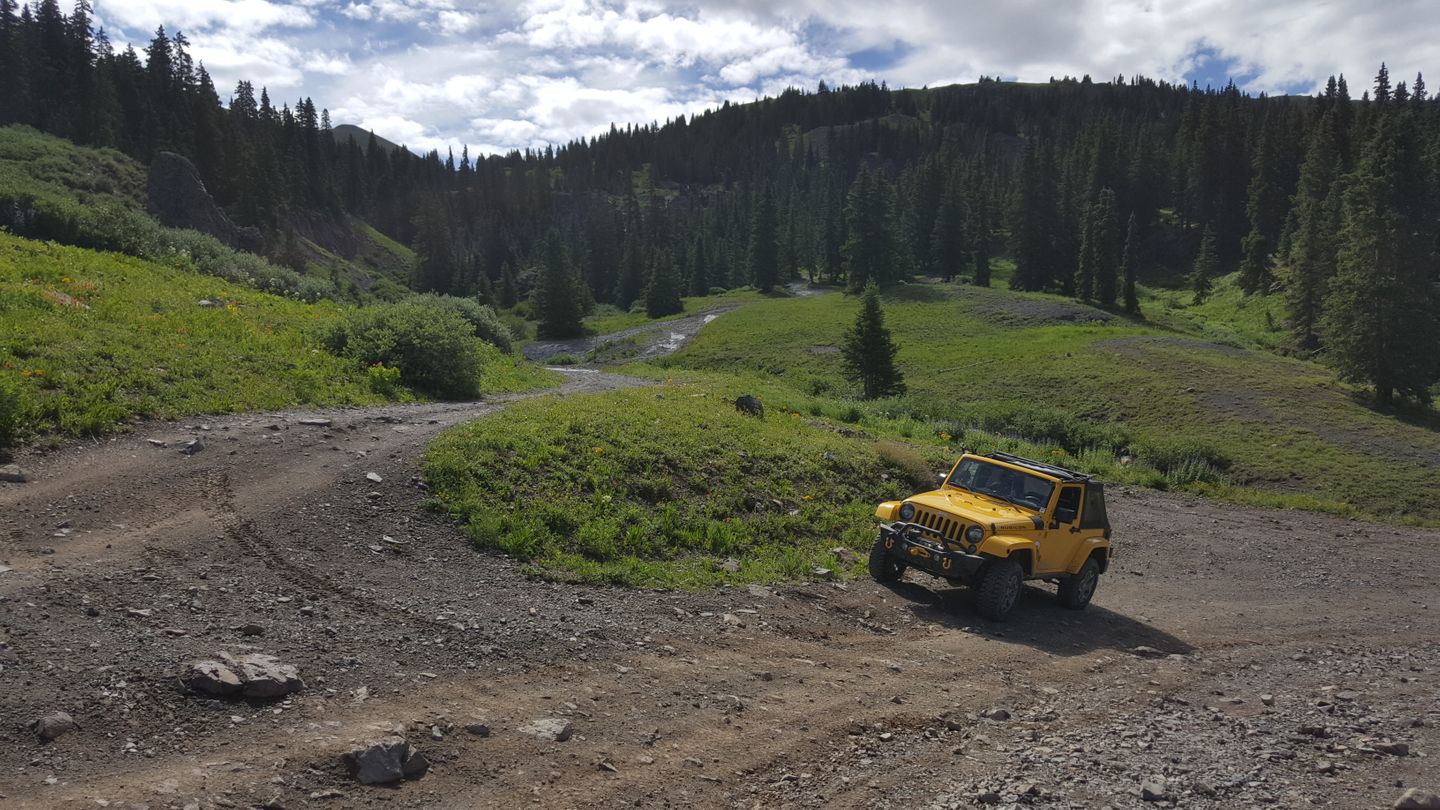
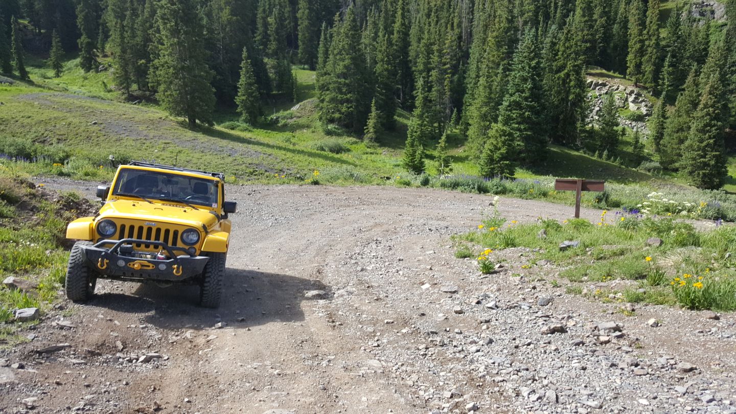
Stay left (north) and uphill here at the intersection with the CR 18 loop of roads.
10. Canaries Scenic Overlook & Bathroom (6.1 mi)
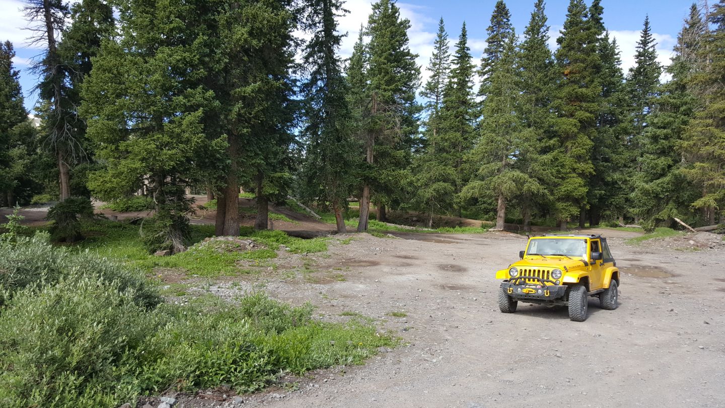
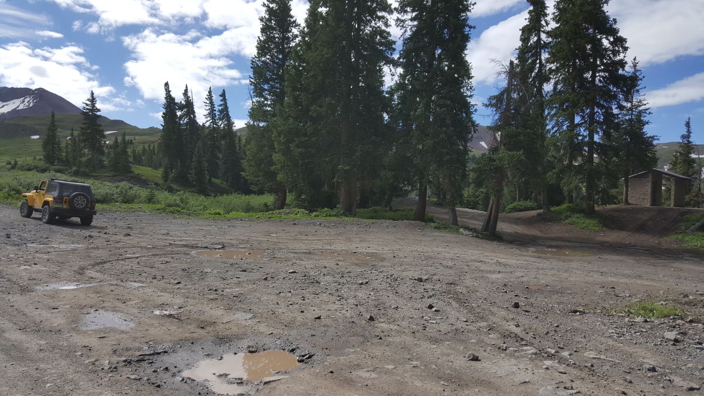
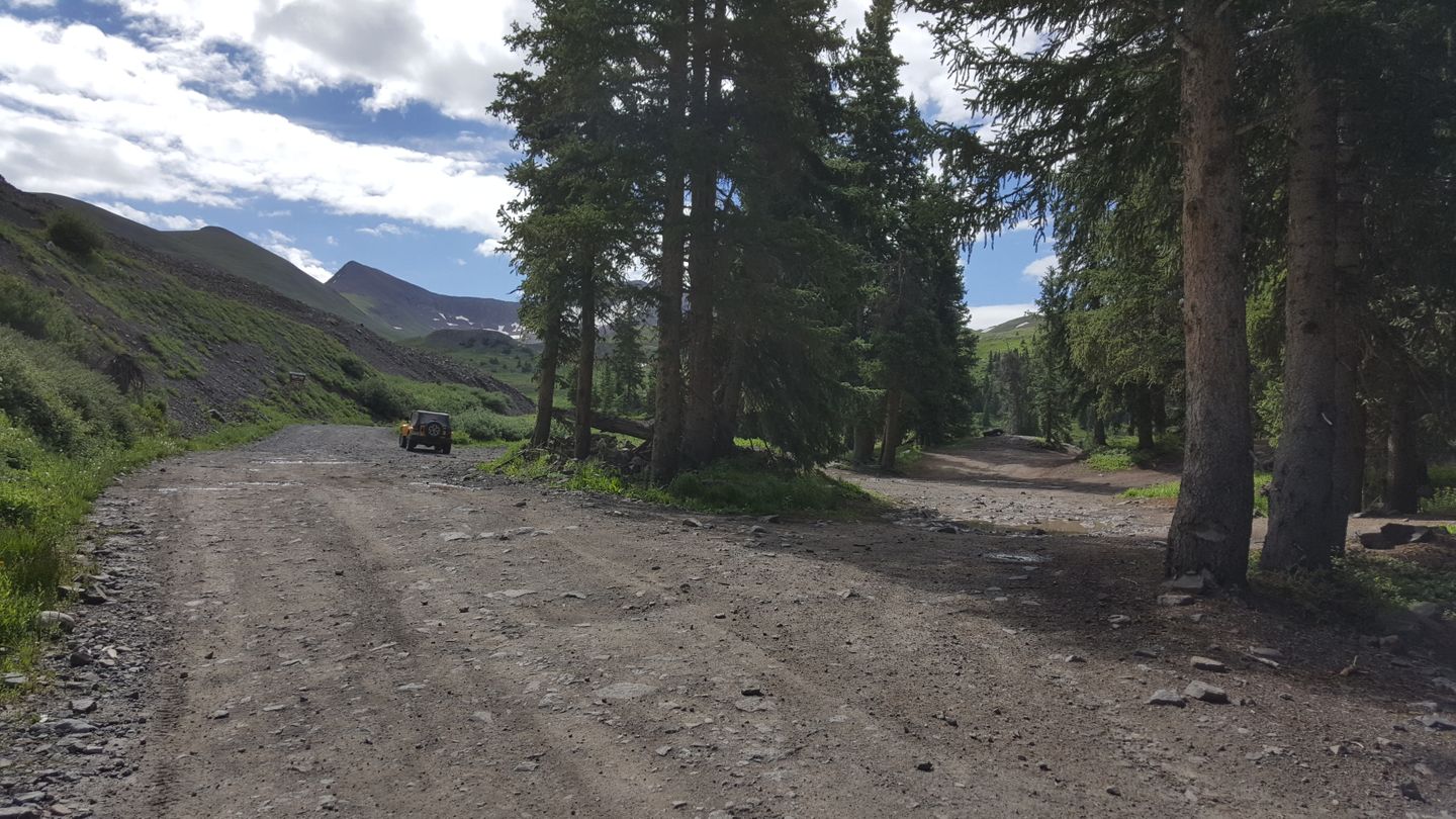
Stay straight (southeast) here to continue on the trail. On the right (south) side of the road you will see a large parking area and a bathroom. Just beyond the bathroom is an informational sign and a great view of the Mountain Range known as The Canaries.
11. Intersection with Alpine Loop Connector (7.4 mi)
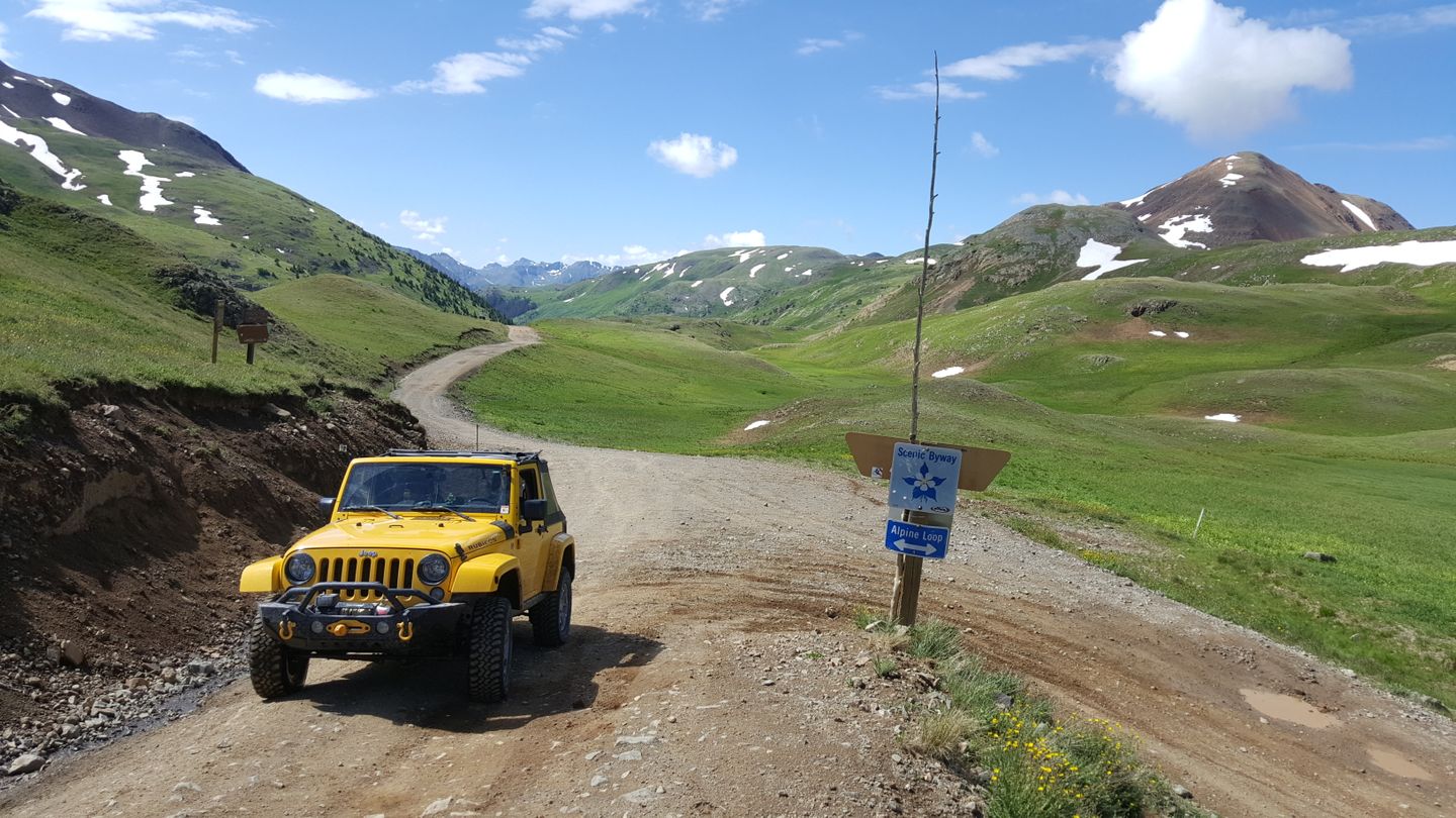
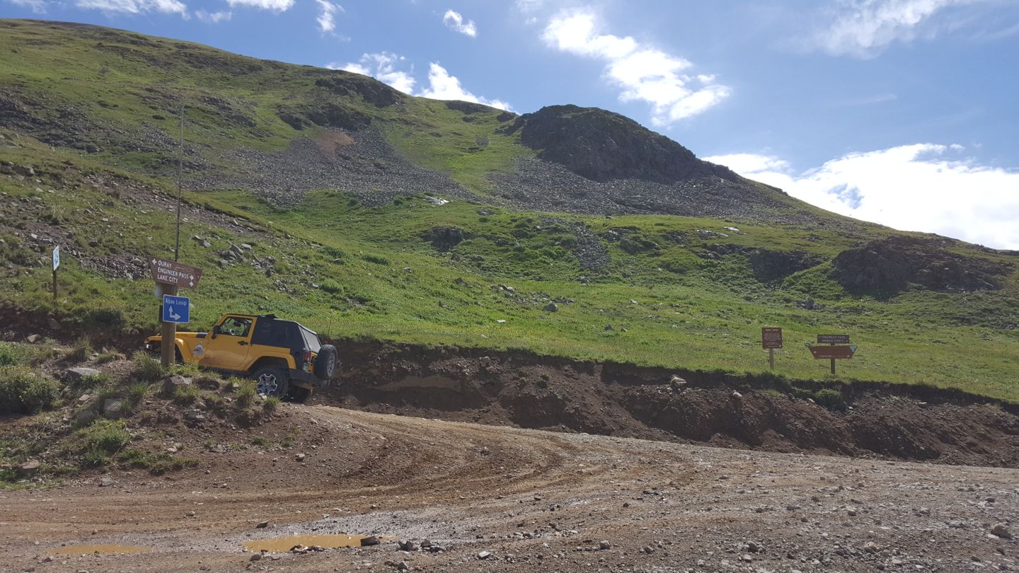
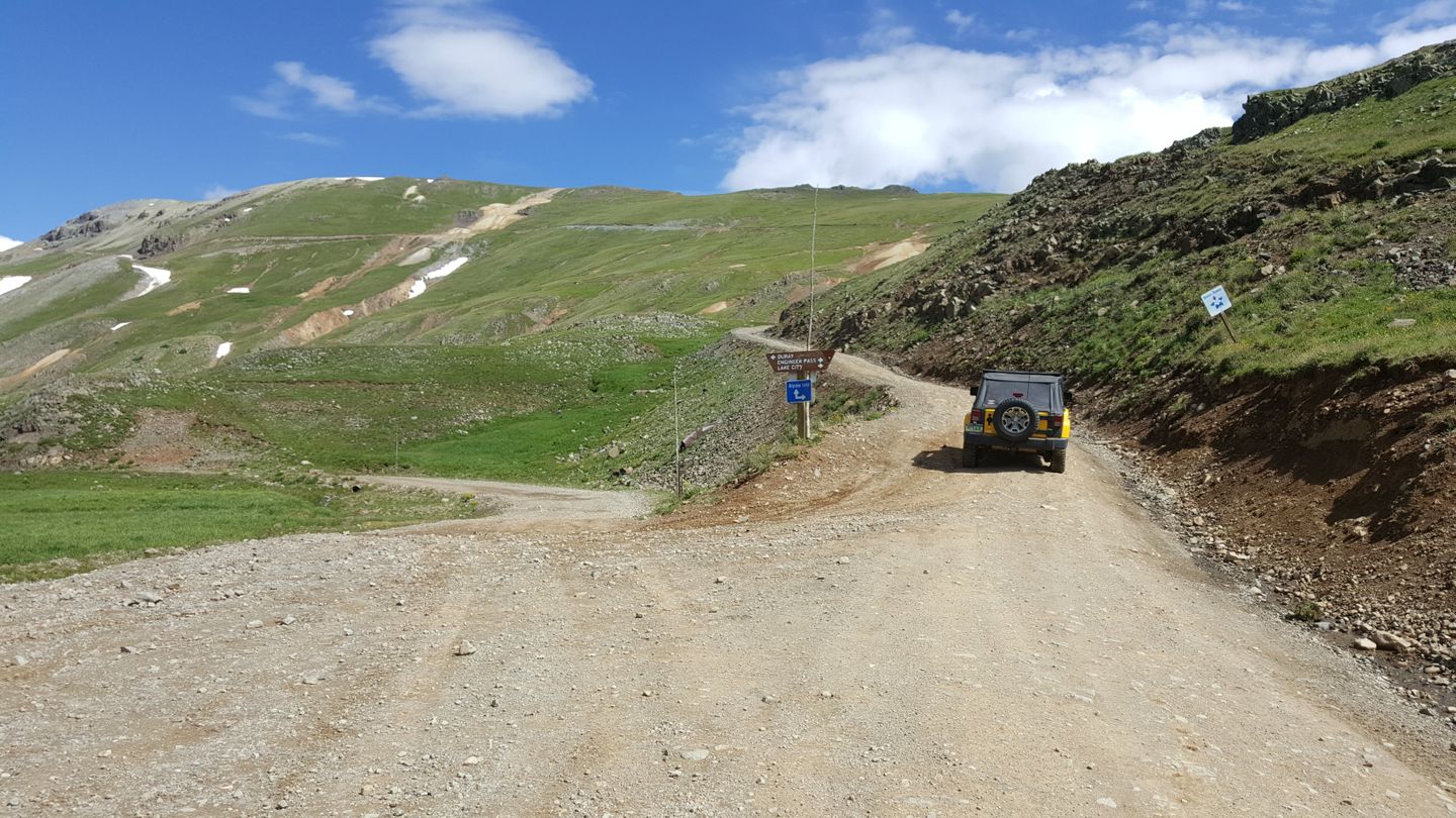
Stay left (north) at this very sharp turn. You will see the signs to indicate where the trail goes, follow them uphill and past the informational signs.
Note that if you are starting Engineer Pass from Cinnamon Pass here, this is your trailhead for Engineer coming from the south via the Alpine Loop Connector.
12. Switchback to Summit (8.3 mi)
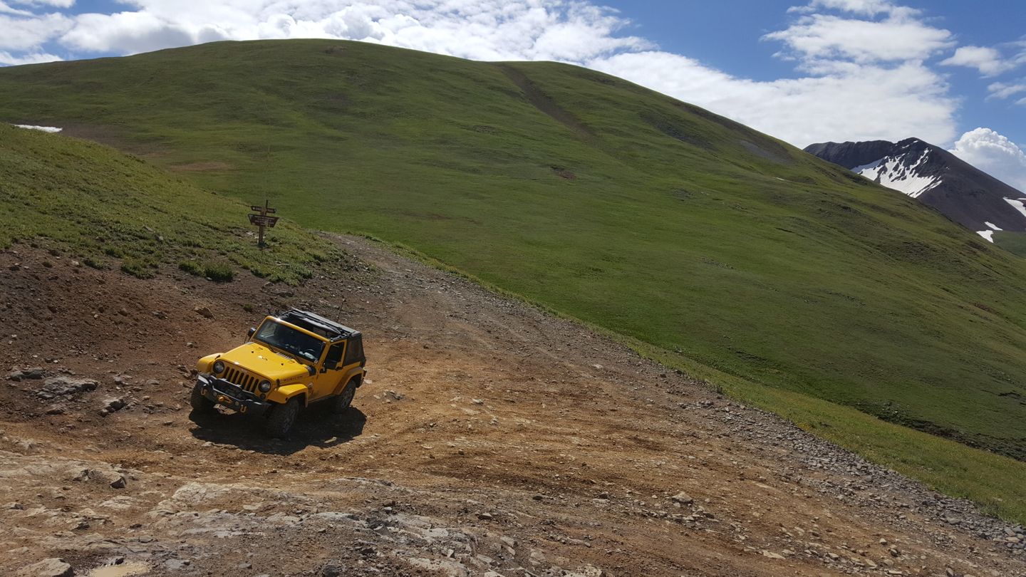
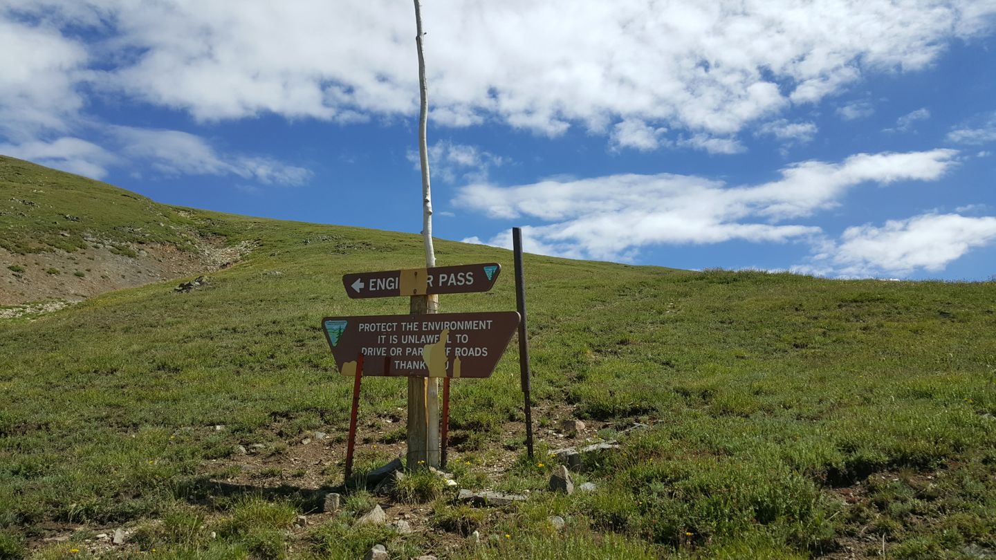
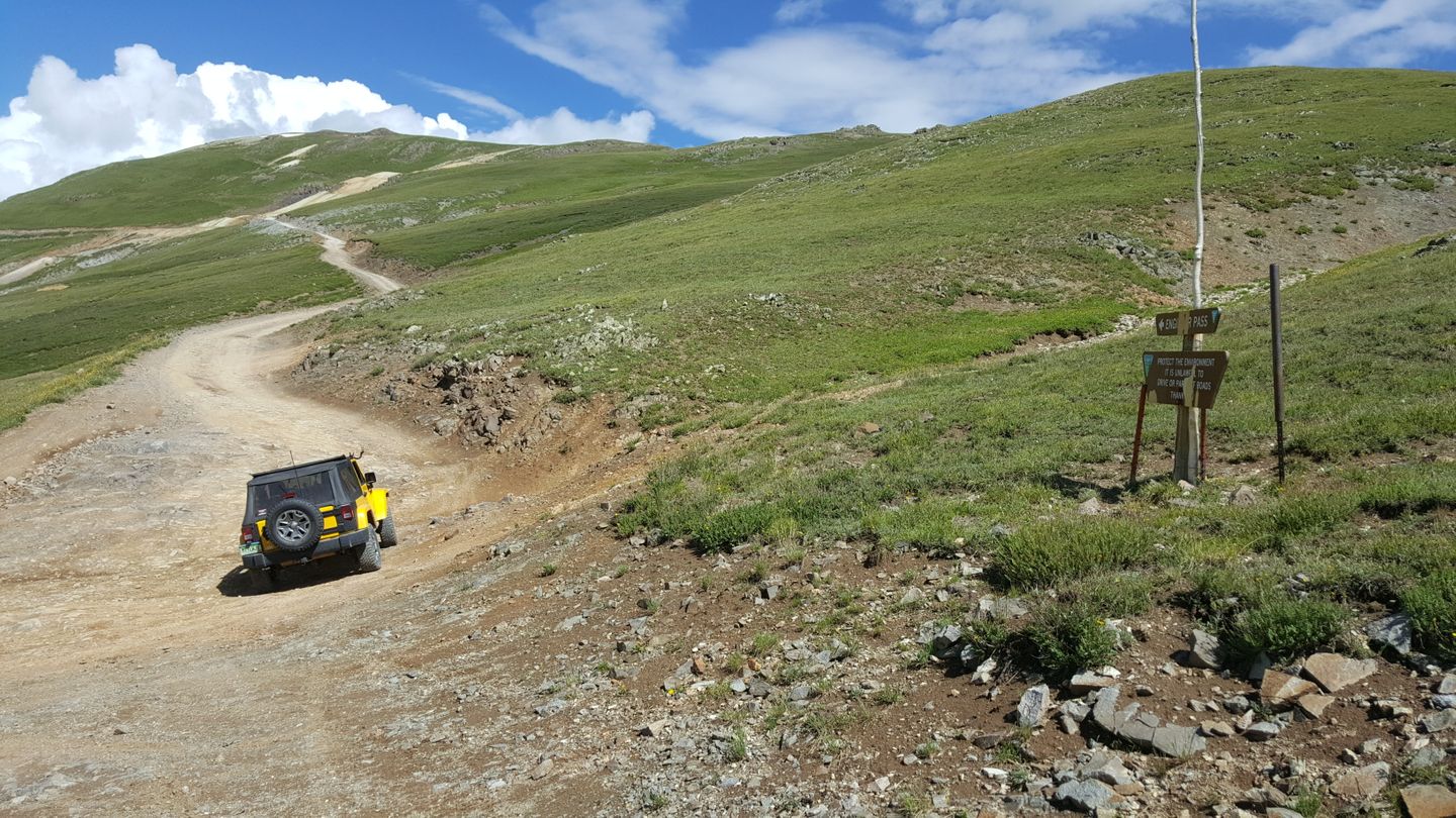
Stay left (northwest) at this switchback that goes to Oh Point and the official summit. The trail on the right (northeast) is an unnamed road that travels over to 21.
13. Odom Point Intersection (9.4 mi)
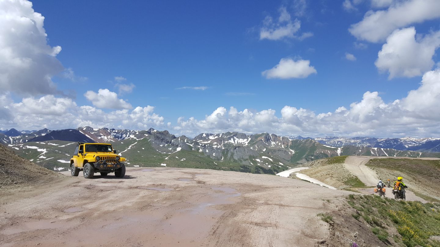
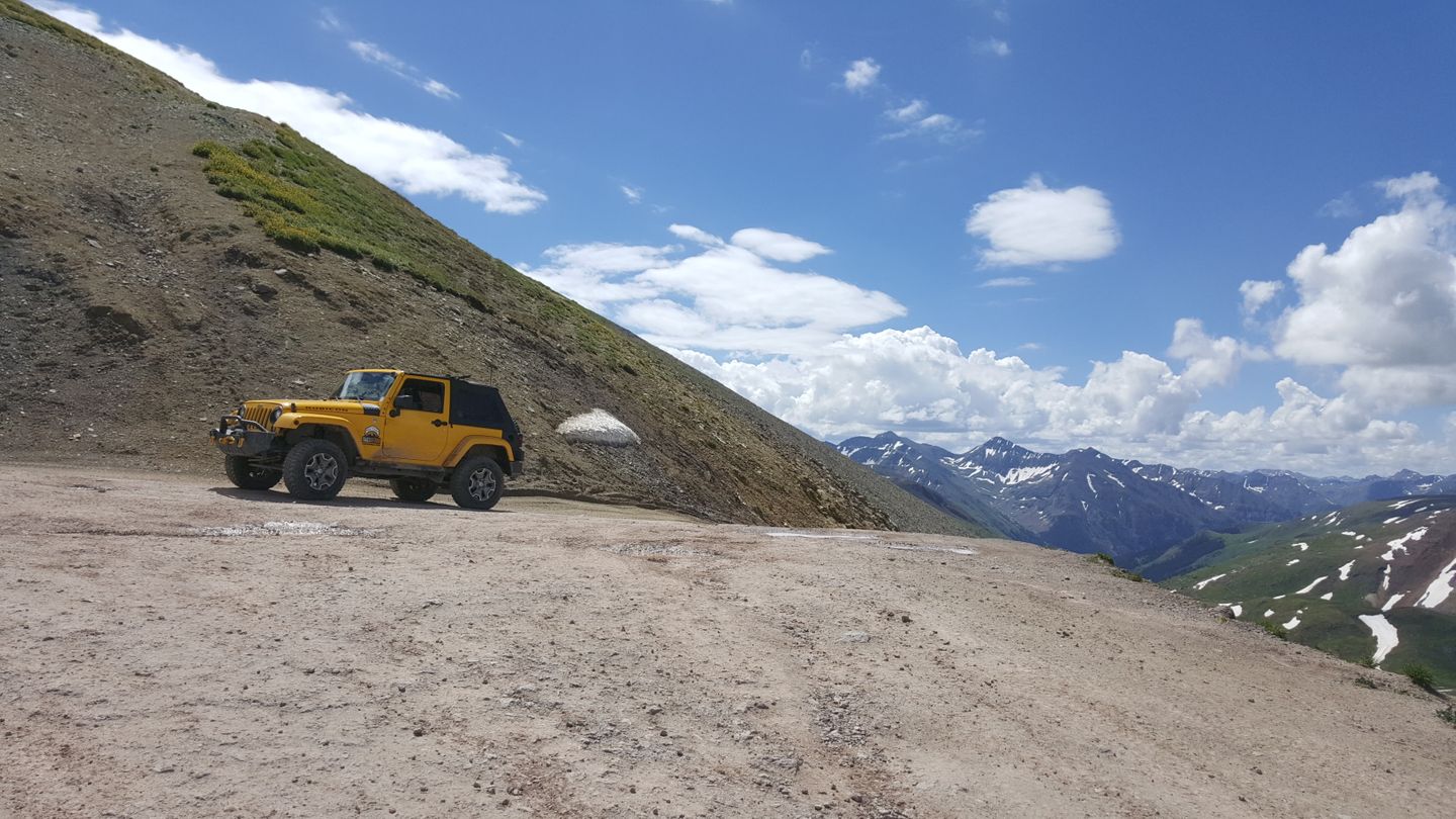
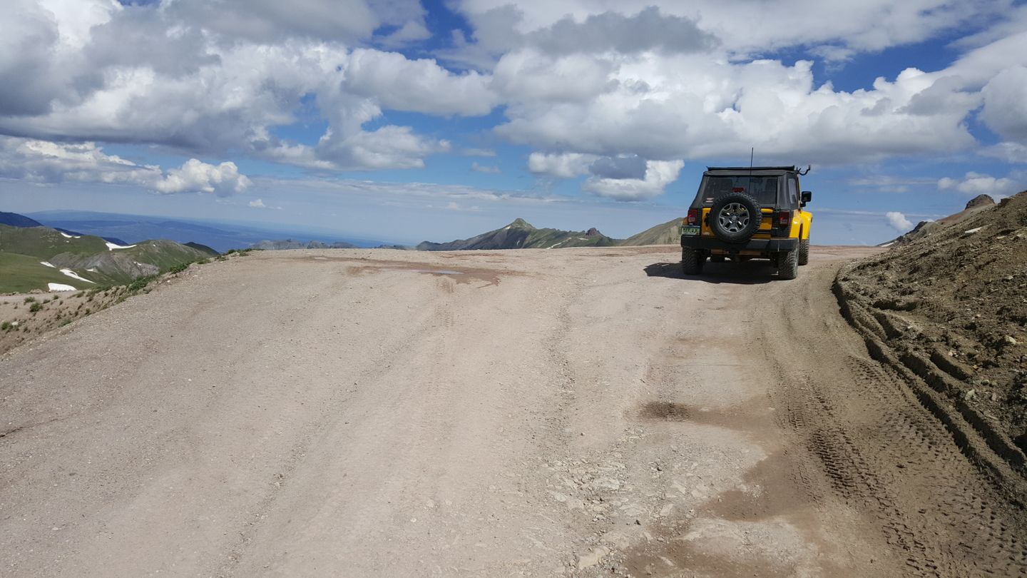
Turn left (west) onto the road for Odom Point. You can see traffic coming and going easily, use common courtesy and wait for traffic coming off the point. This little land bridge wide for the most part, but is tight in spots for two big vehicles and passing could be difficult so take your time.
14. Odom Point Overlook (9.6 mi)
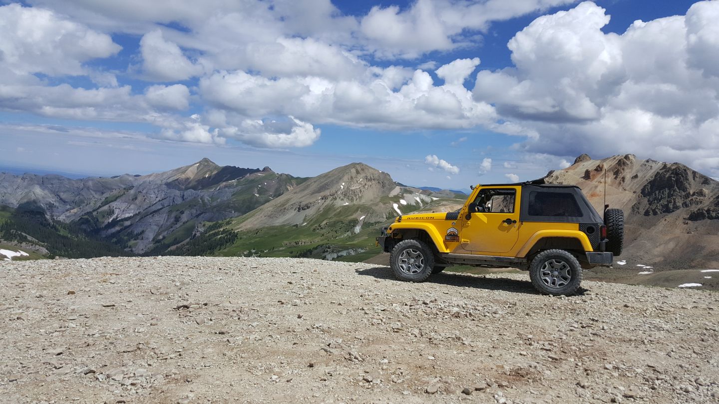
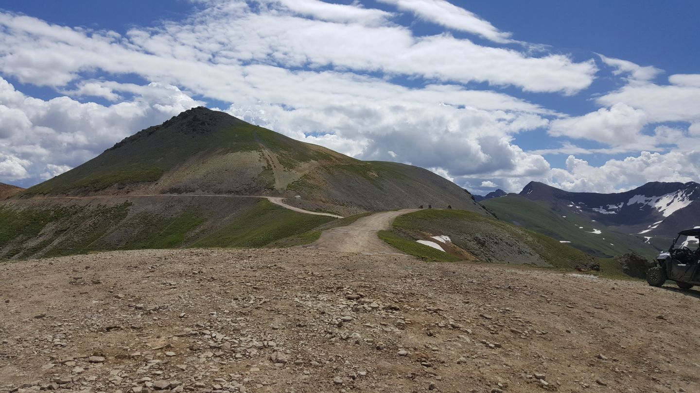
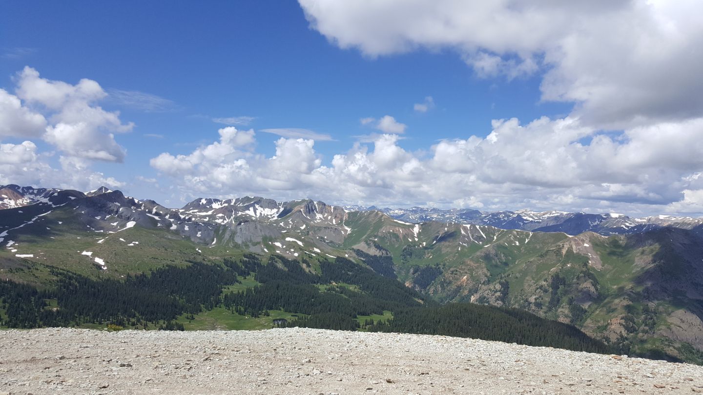
This large area is the highest on the trail and allows for views of the mountains in nearly a full 360⁰. There is plenty of space to stop here with a group. When exiting the overlook, return to waypoint 13 and turn left (northeast) back onto the main trail.
15. Official Summit and Overlook (10.3 mi)
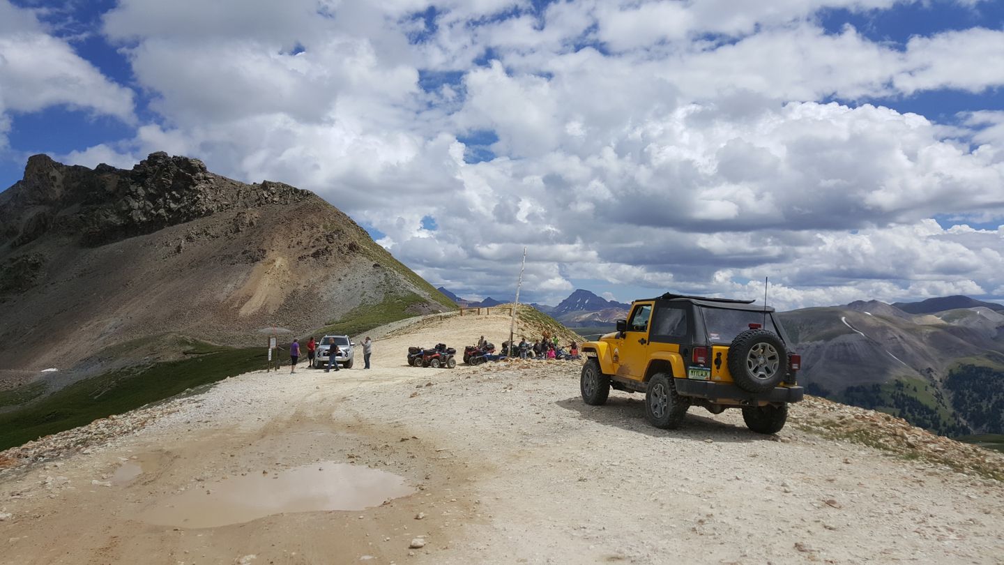
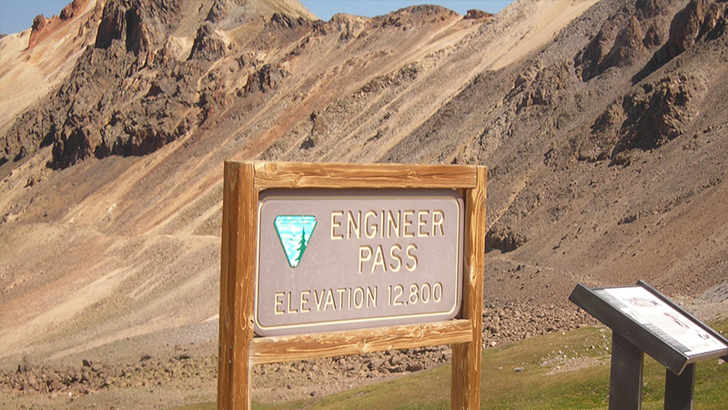
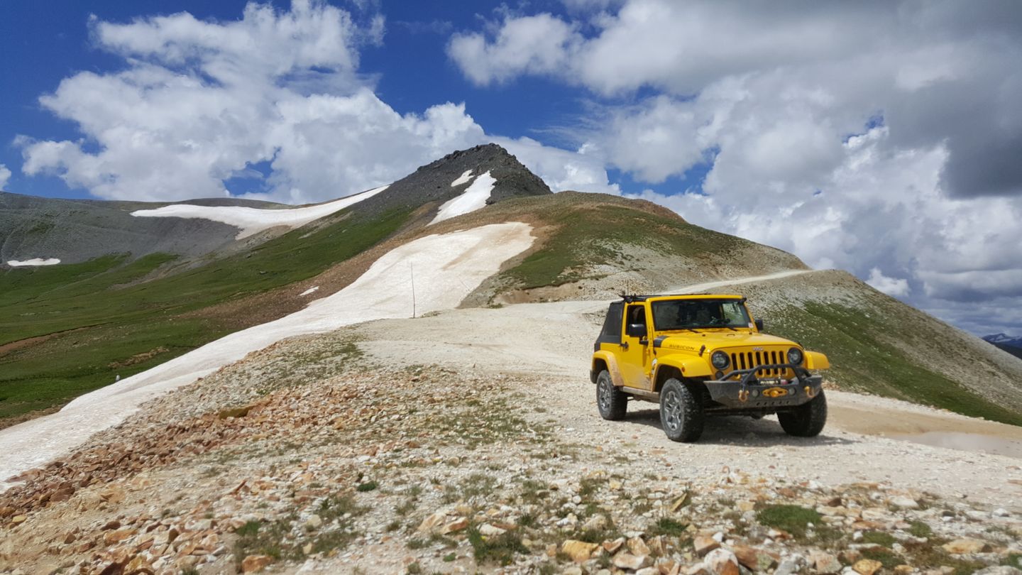
Follow the trail down and to the right (southeast) here. There is plenty of space to stop here though if you want to take a picture with the official sign. Some maps show that the trail used to go up and around the peak there, but that area is fenced off now.
This area can be very busy with a lot of traffic so be on the lookout for ATV's and people on foot.
16. Private Trail (10.6 mi)
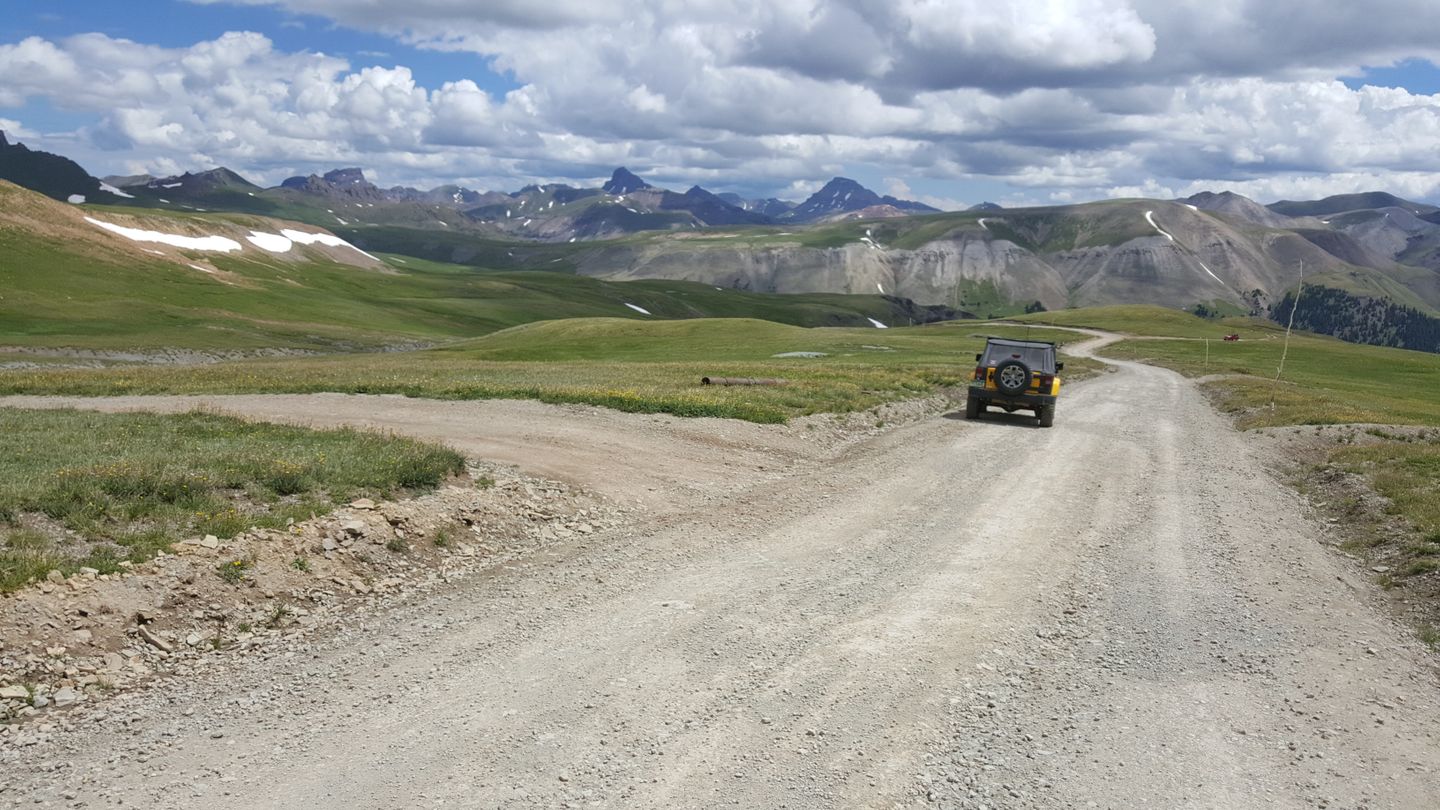
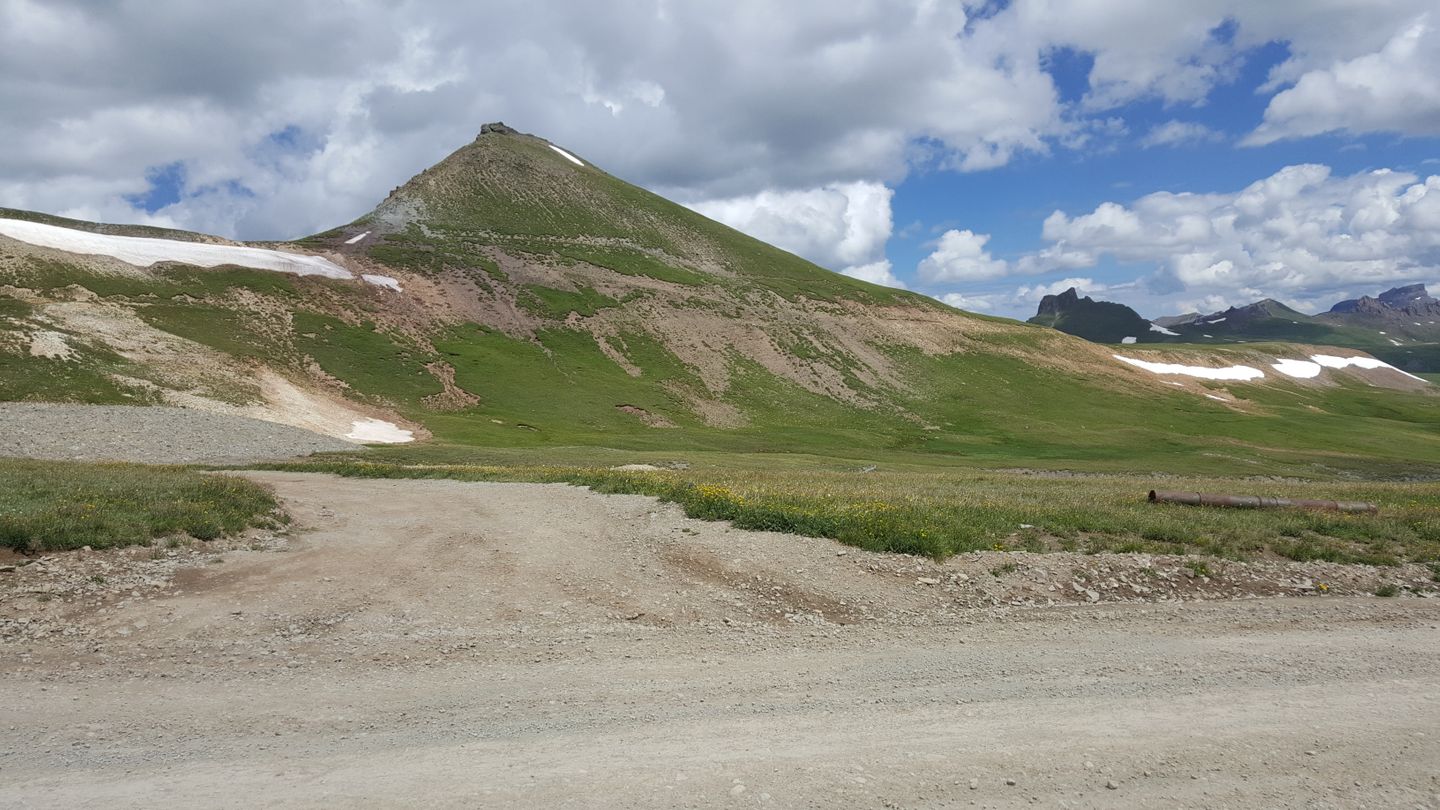
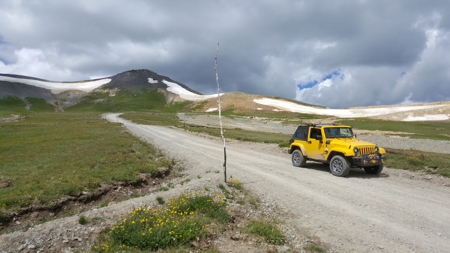
Stay straight (northeast) at this intersection with an old road that appears to be private. It leads back to a mine claim called Hough Mine.
17. Private Trail (10.8 mi)
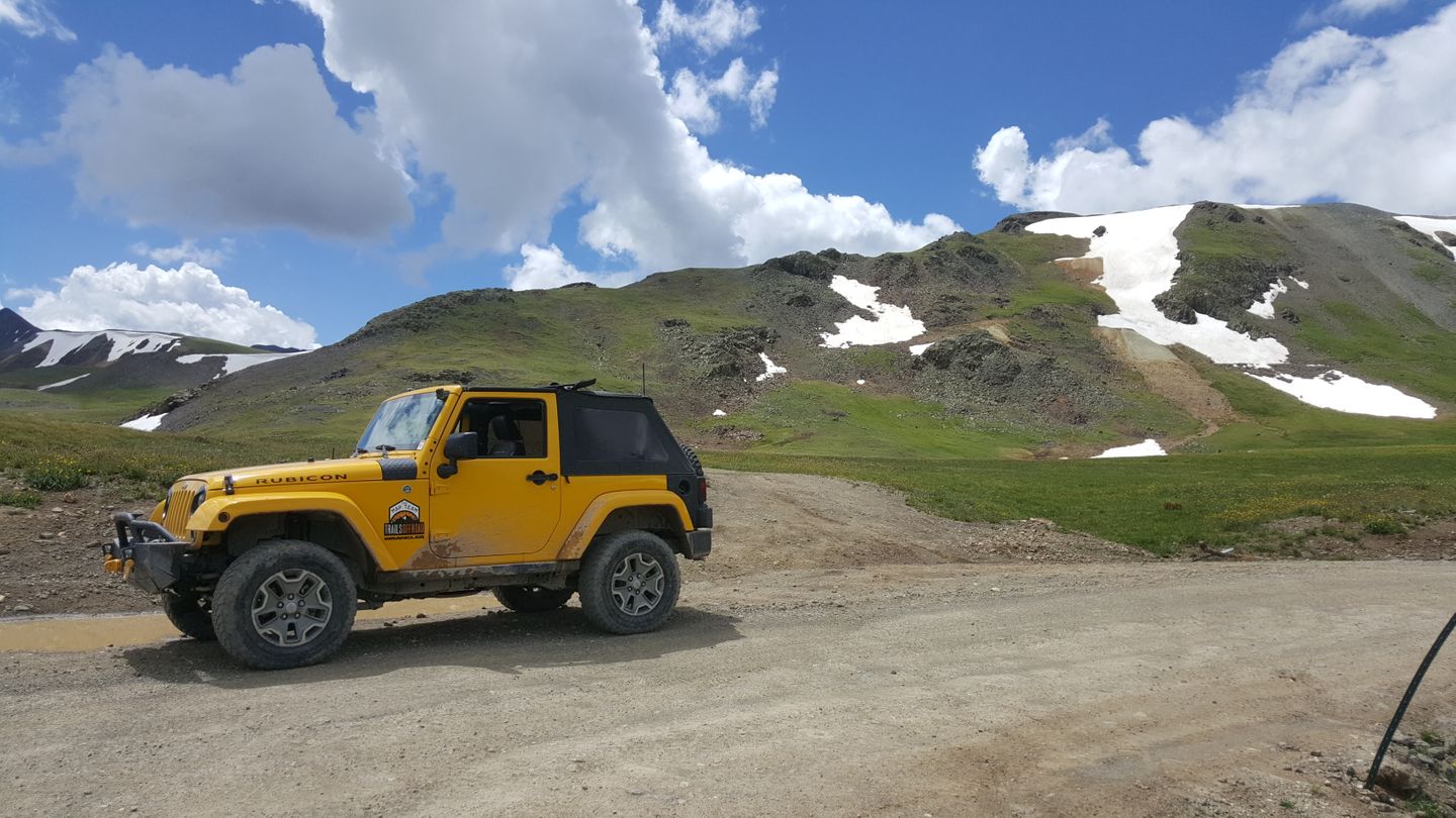
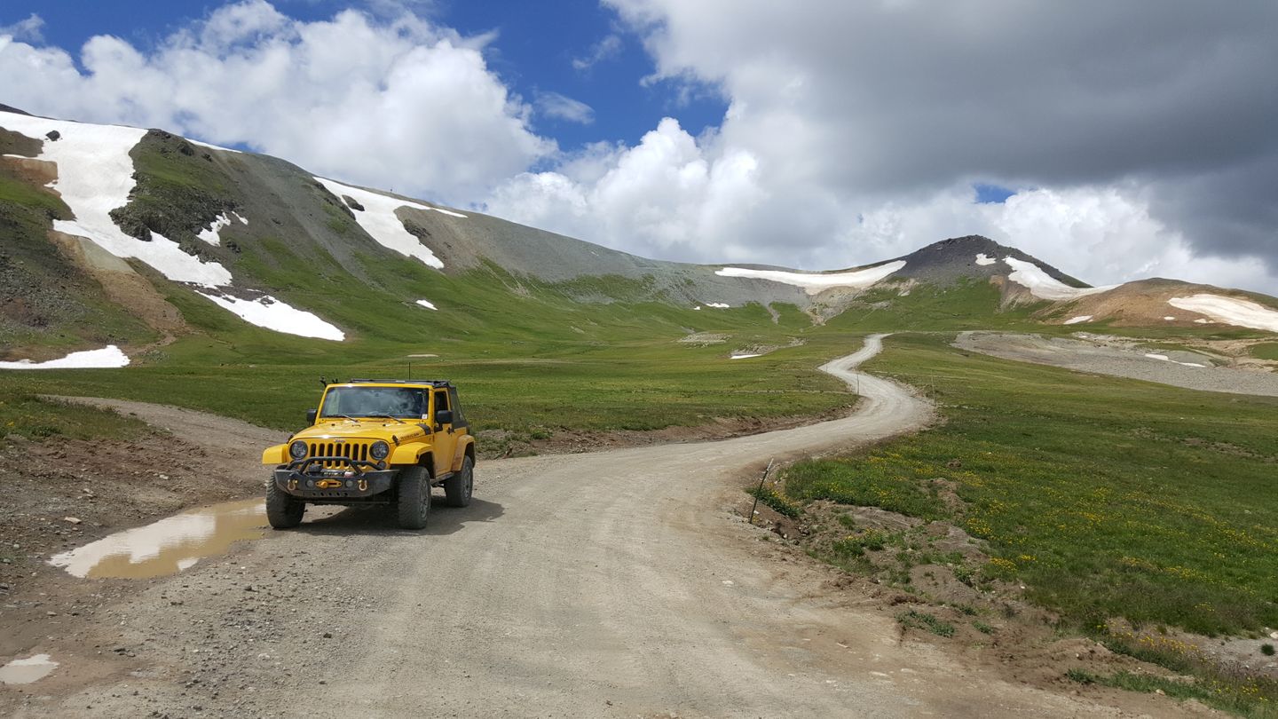
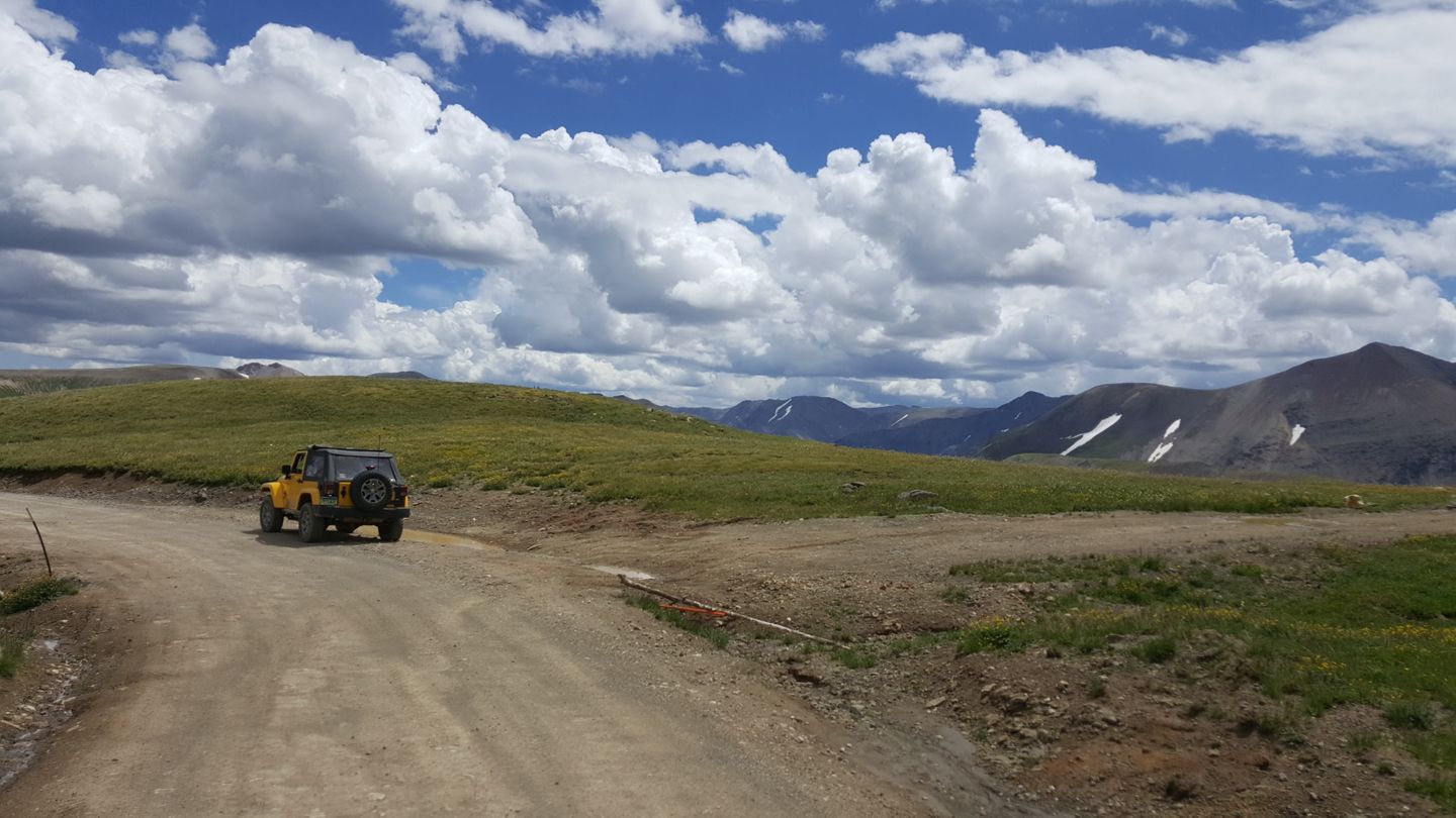
Stay straight (northeast) at this private trail.
18. Uncompahgre Overlook (11 mi)
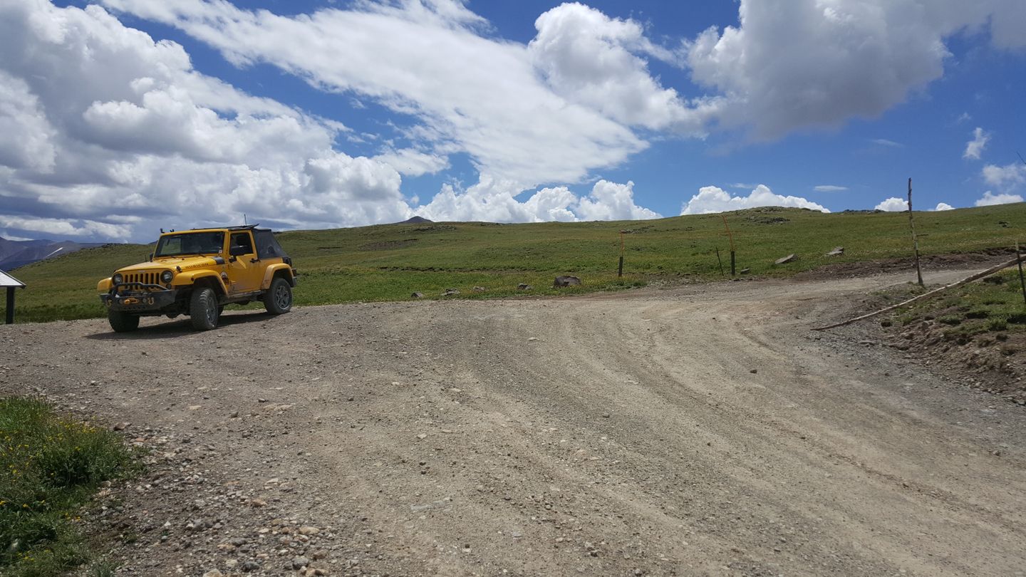
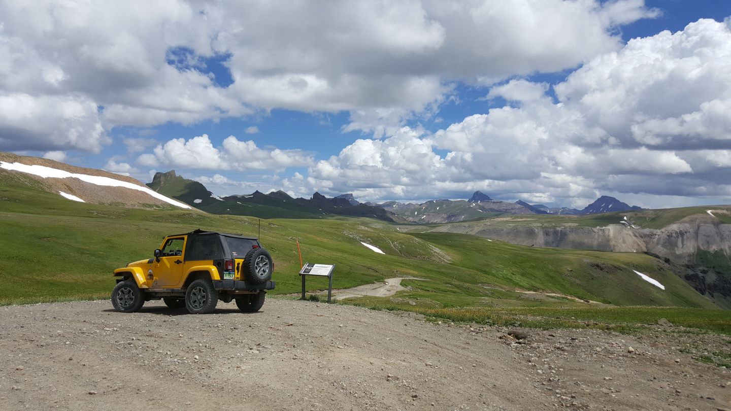
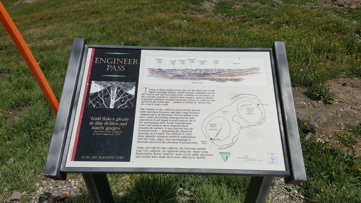
Stay to the left (west) and follow the trail signs.
There are two notable places along this part of the trail. At 11.2 miles, hikers will find the entrance to the Horsethief Pack Trail. Private Property begins at 12.7 miles, mind signage.
19. Intersection with CR 21 (13.2 mi)
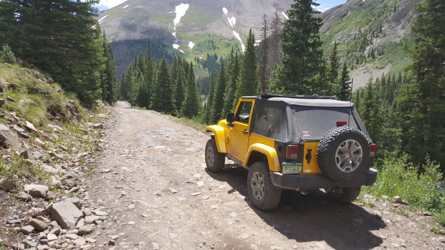
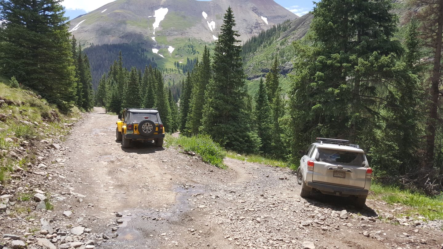
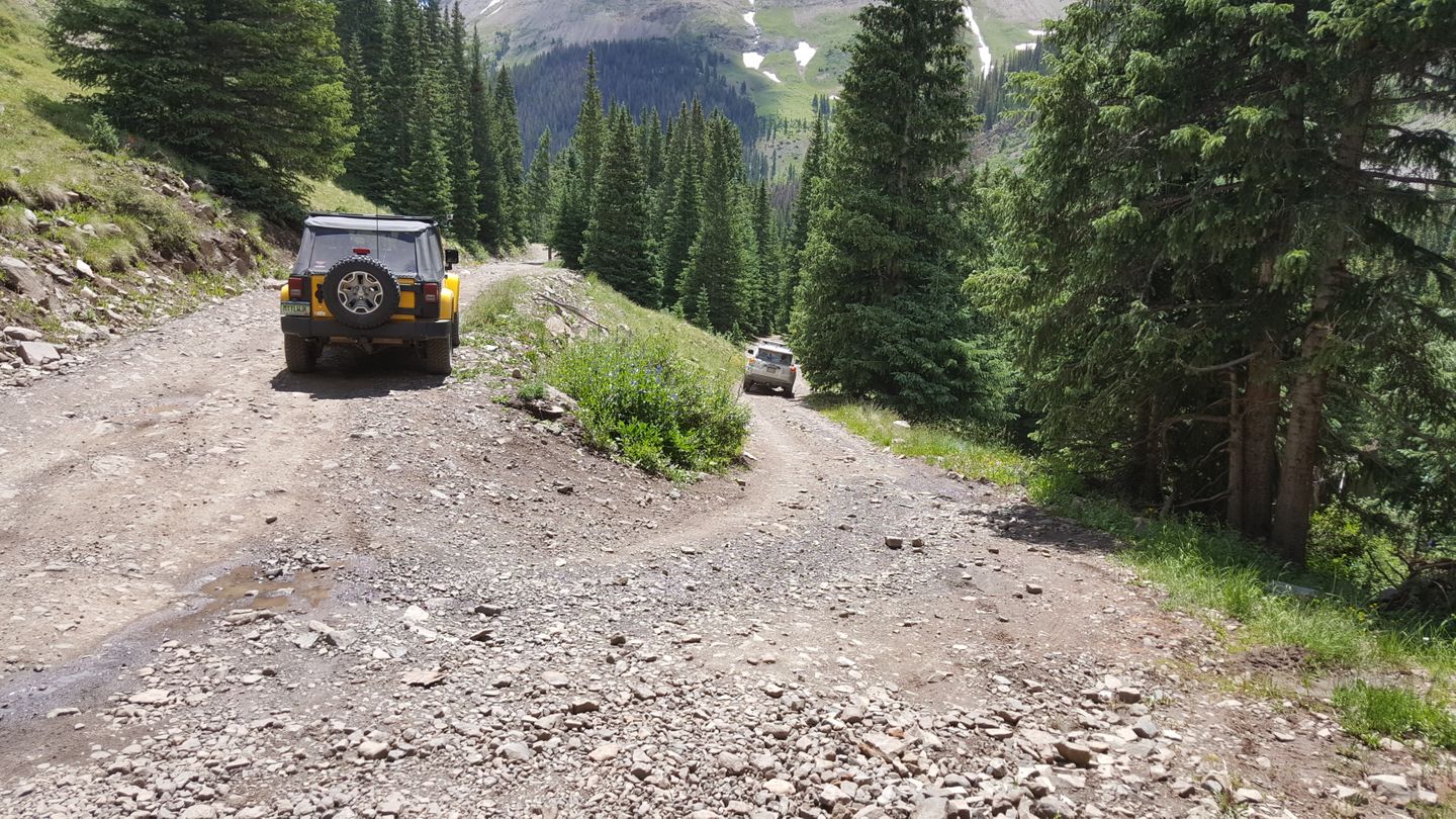
Stay left (east) at CR 21. It leads to a small network of roads that all end back to the main trail.
20. Old Spur - Stay Straight (13.5 mi)
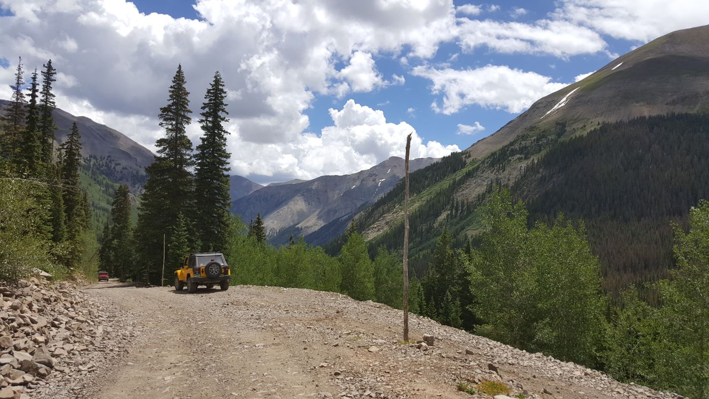
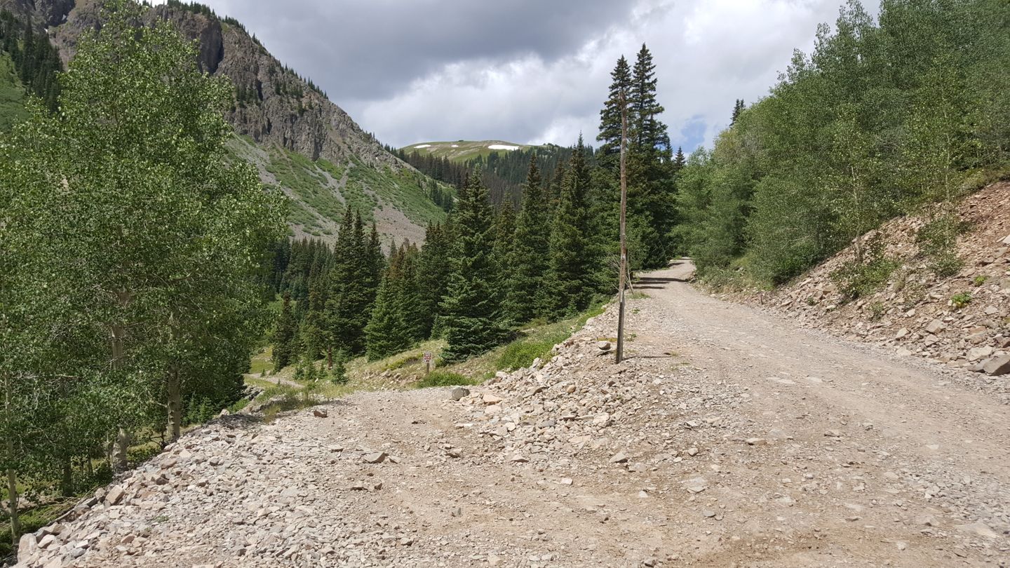
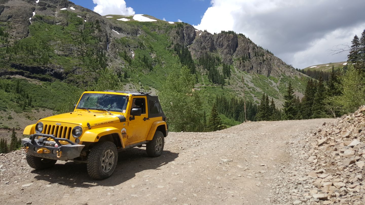
Stay straight (east) at this old spur. It appears on maps, but no longer has a designation as being authorized.
21. Intersection with CR 21X (14.2 mi)
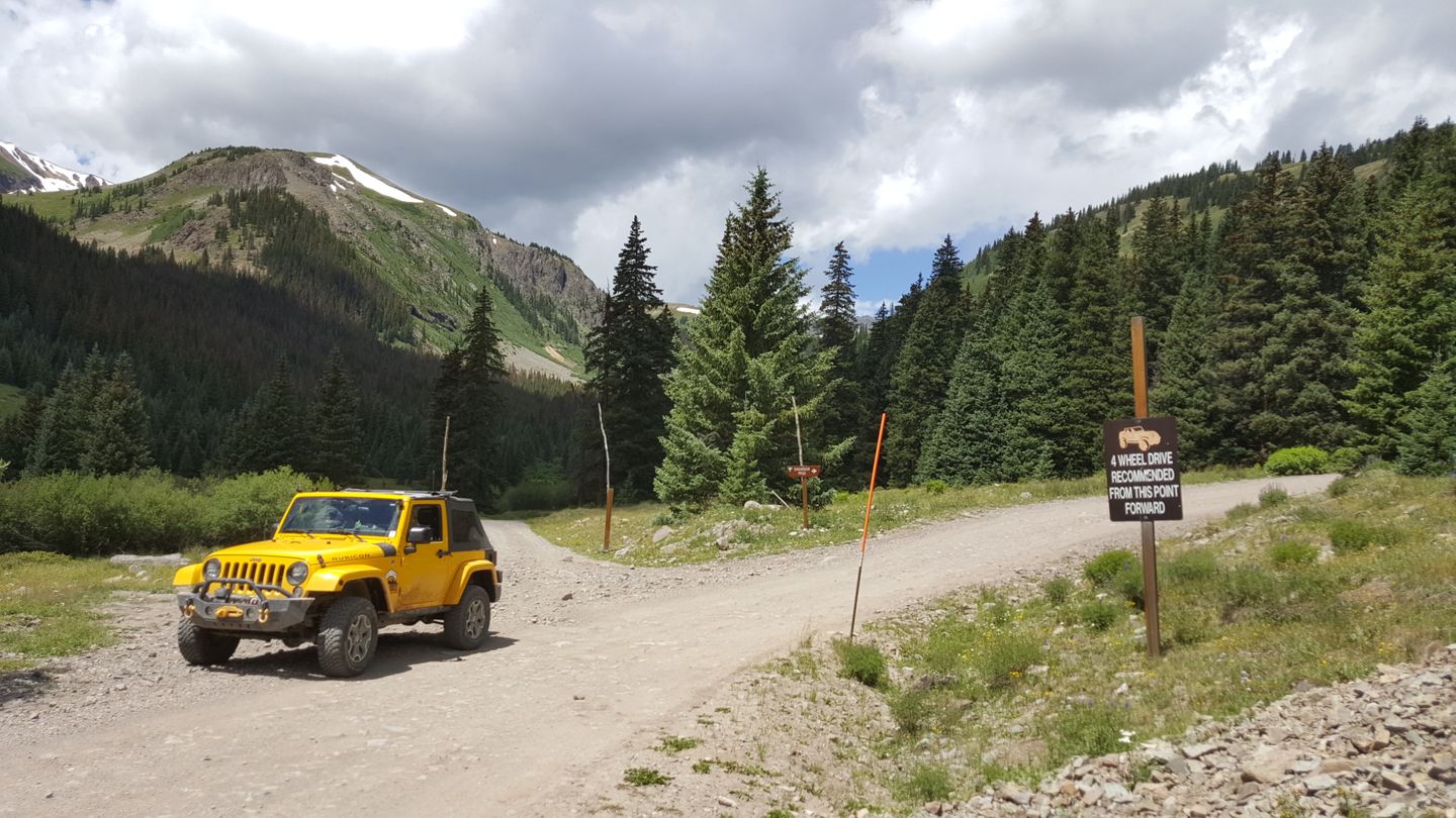
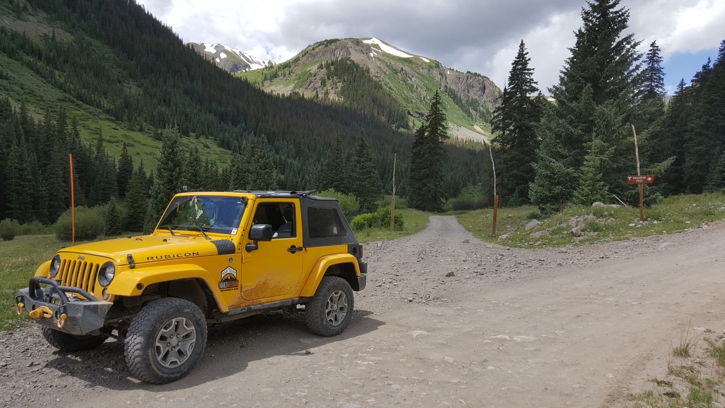
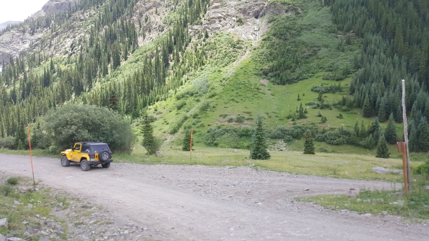
Stay left (east) at the intersection with CR 21X.
22. Bathroom & Rest Area (14.4 mi)
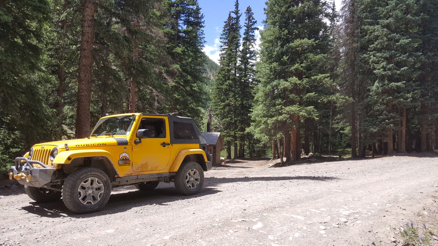
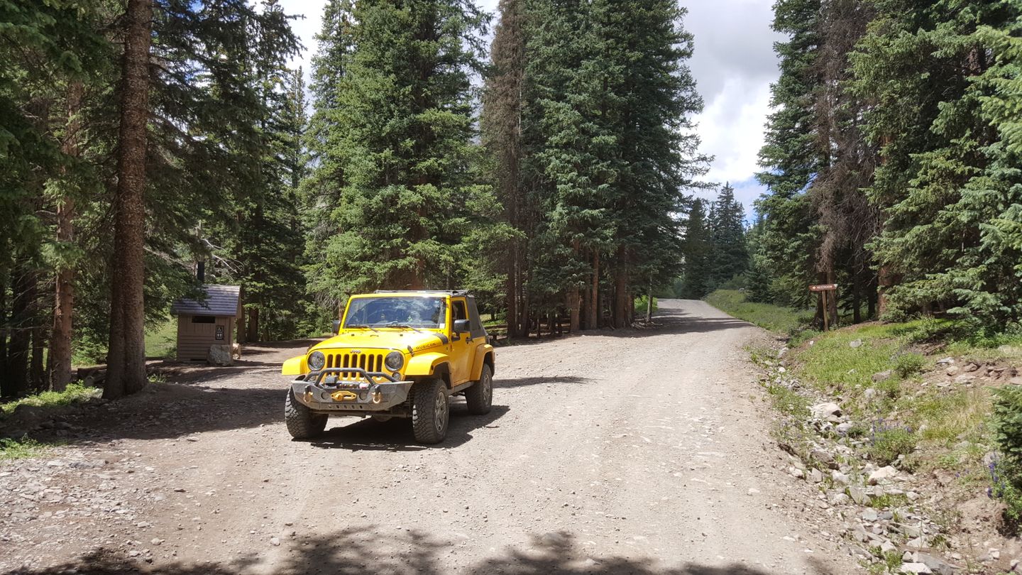
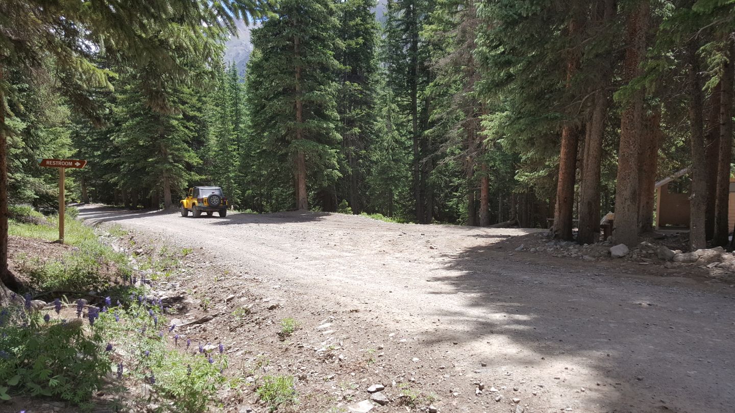
Stay straight (east) for the trail. On the right (south) is a bathroom and small rest area.
23. Camping Spur (14.9 mi)
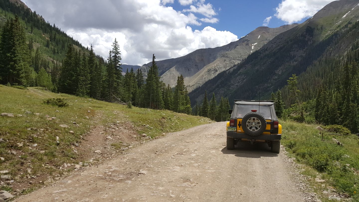
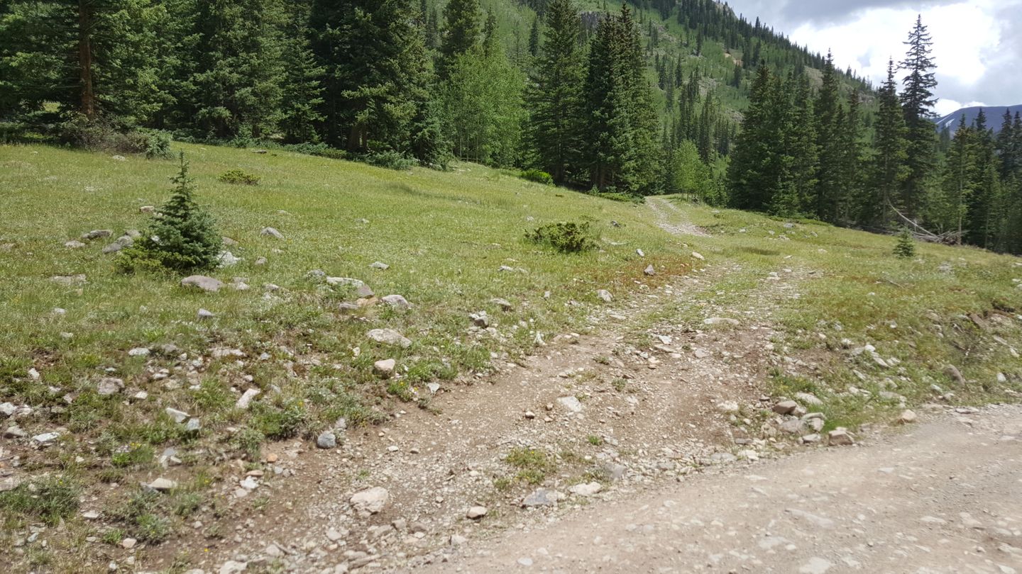
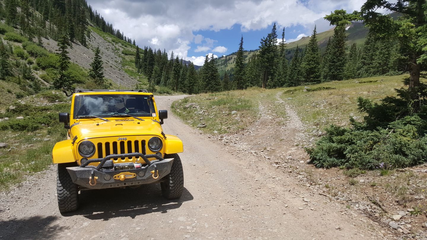
Stay right (east) at this camping spot.
24. Camping Spot (15.1 mi)
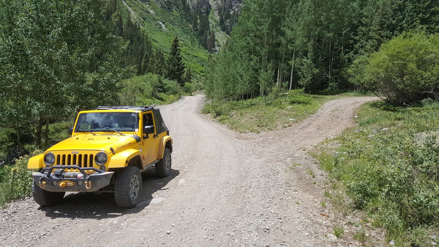
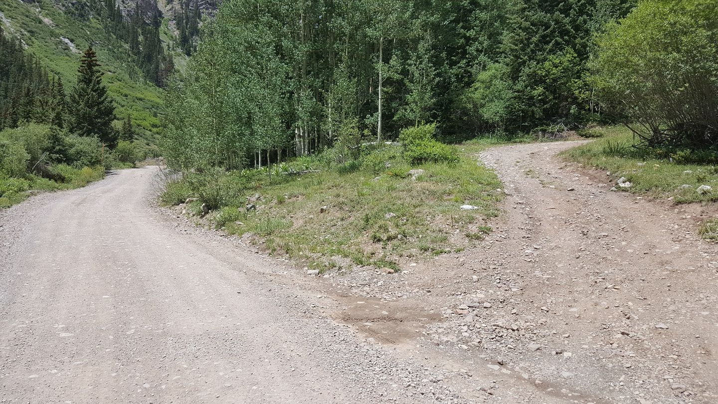
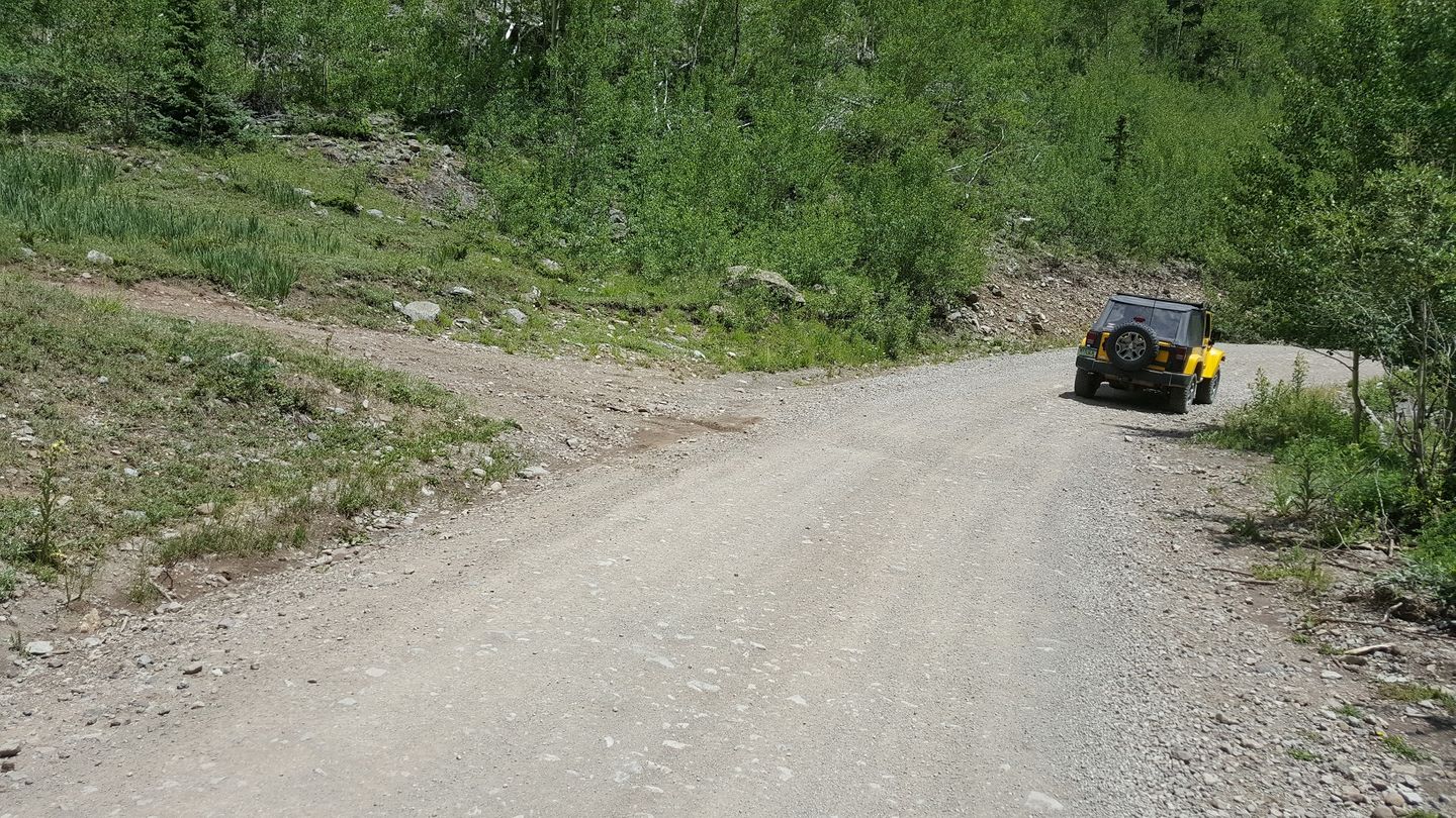
Stay right (east) at this camping spot.
25. Intersection with Bonanza (15.2 mi)
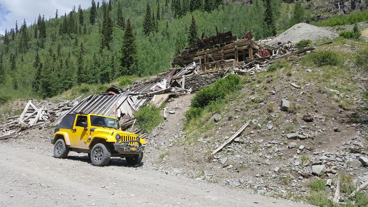
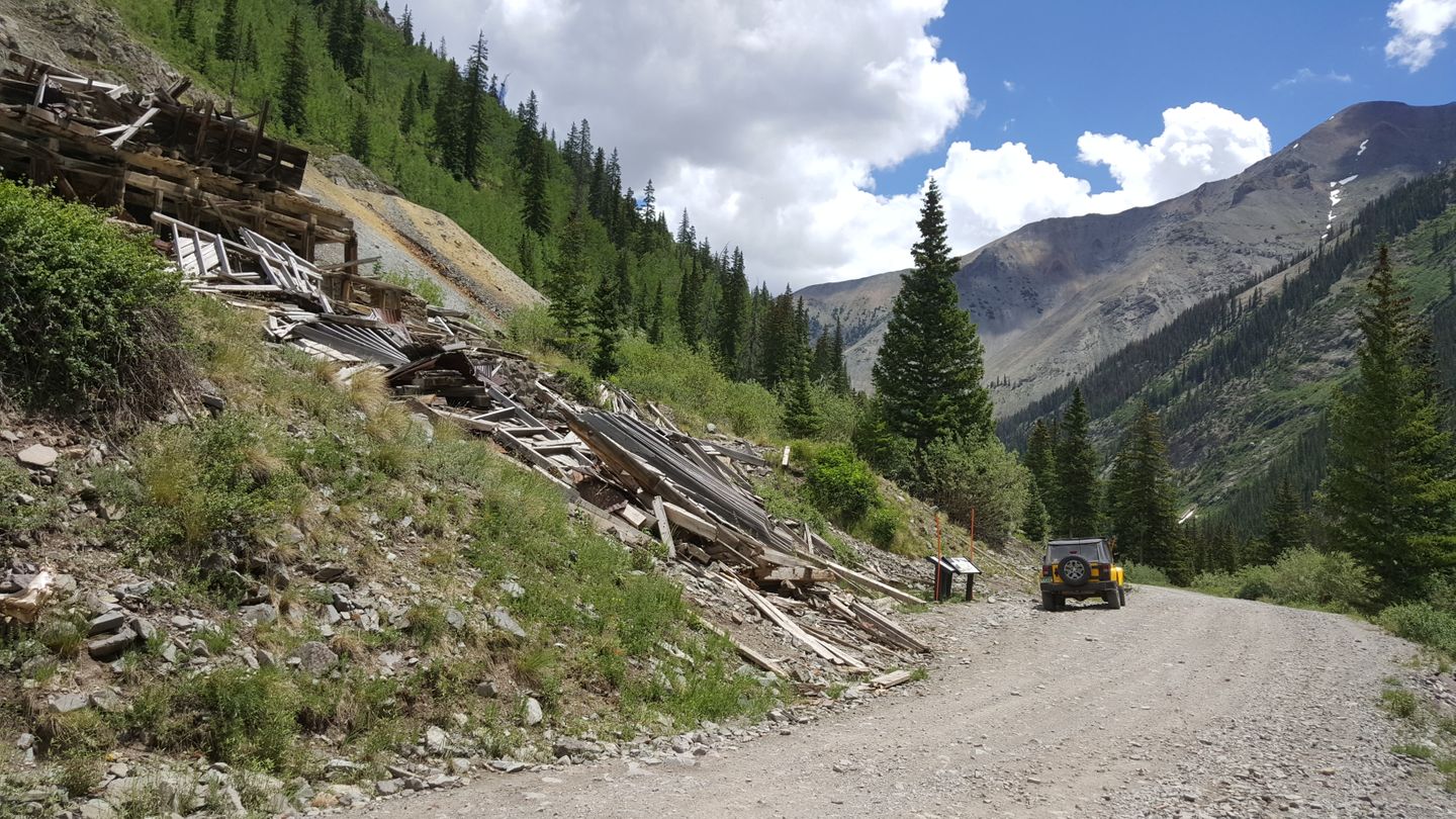
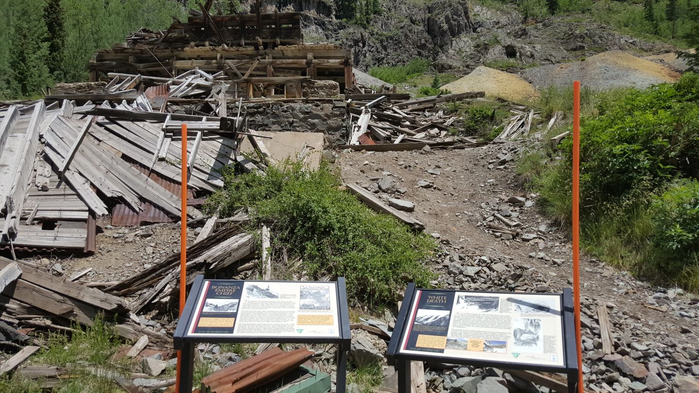
Stay right (southeast) to stay on Engineer.
26. Private Drive (19.1 mi)
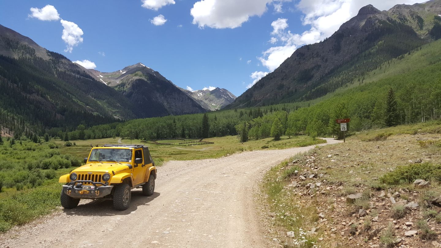
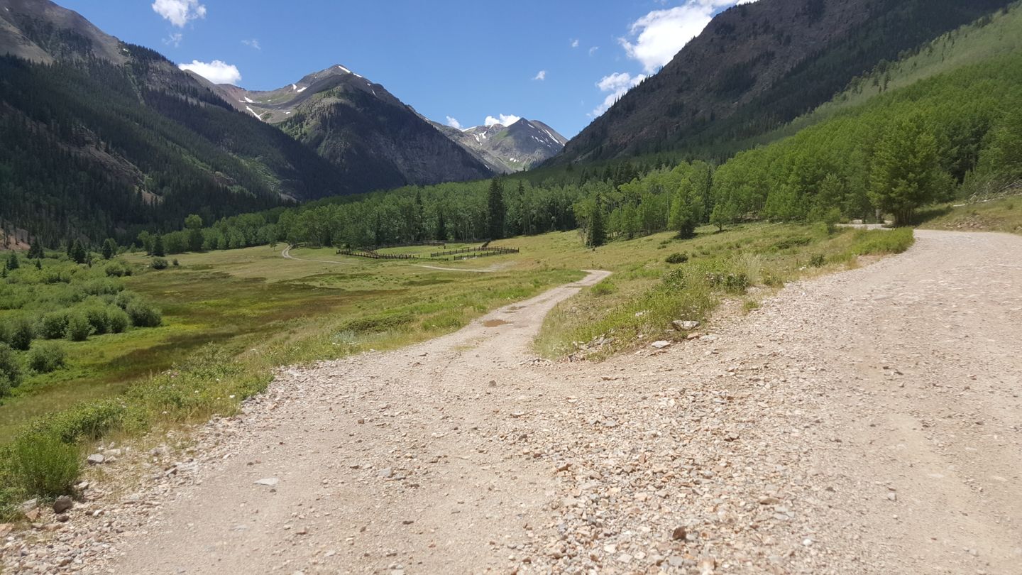
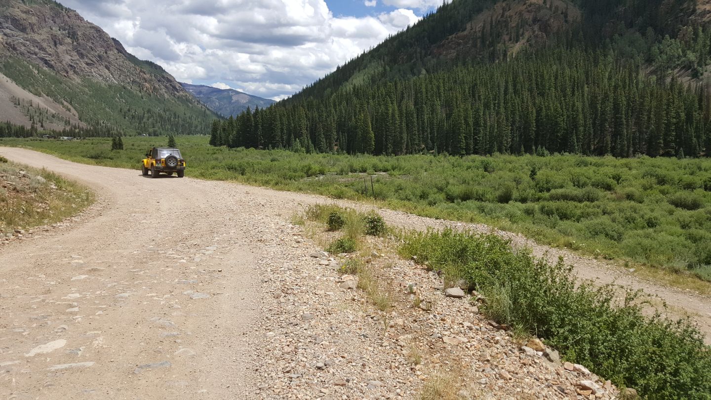
Stay to the left (northeast) at this private drive.
27. Capitol City (19.6 mi)
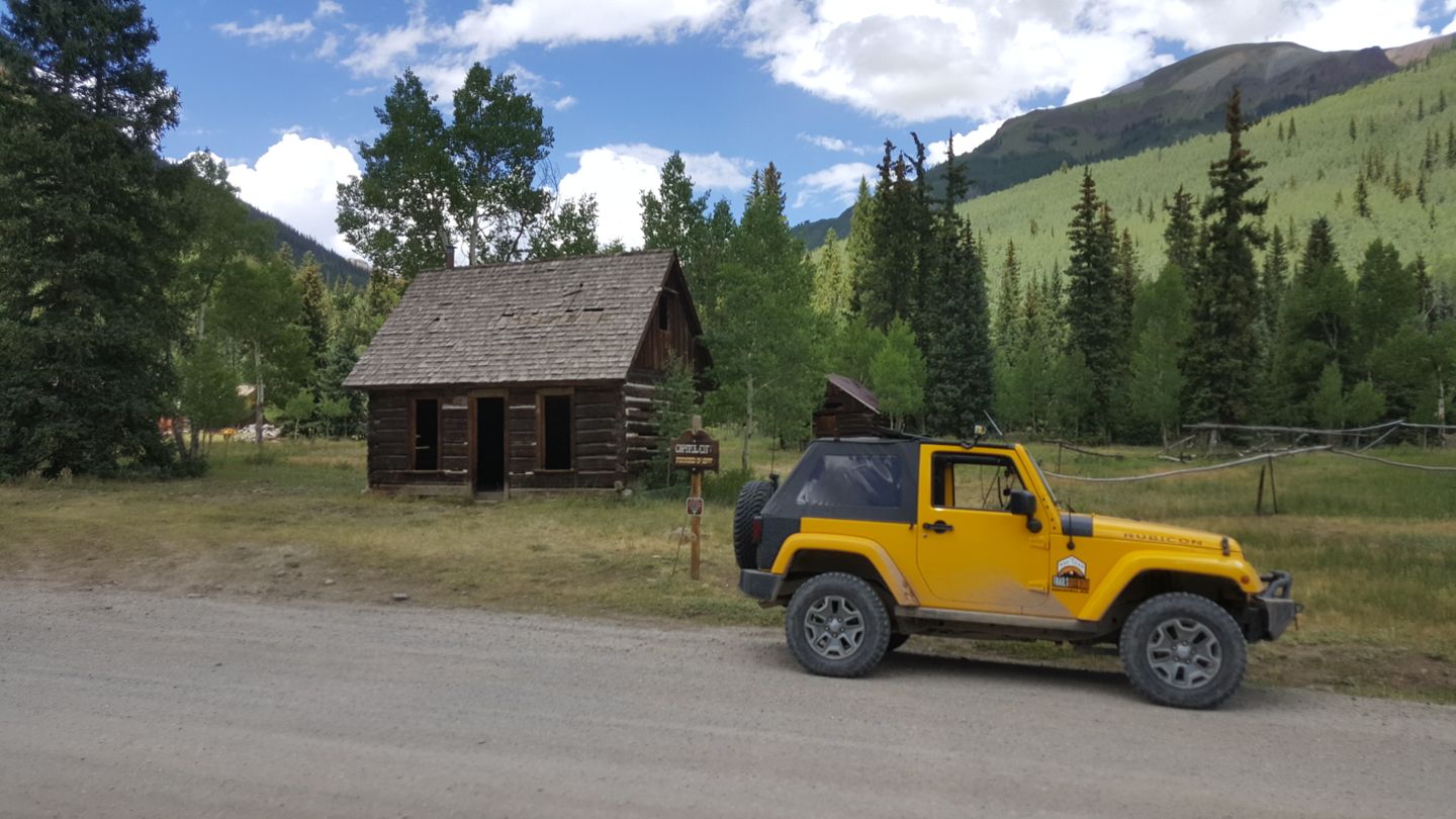
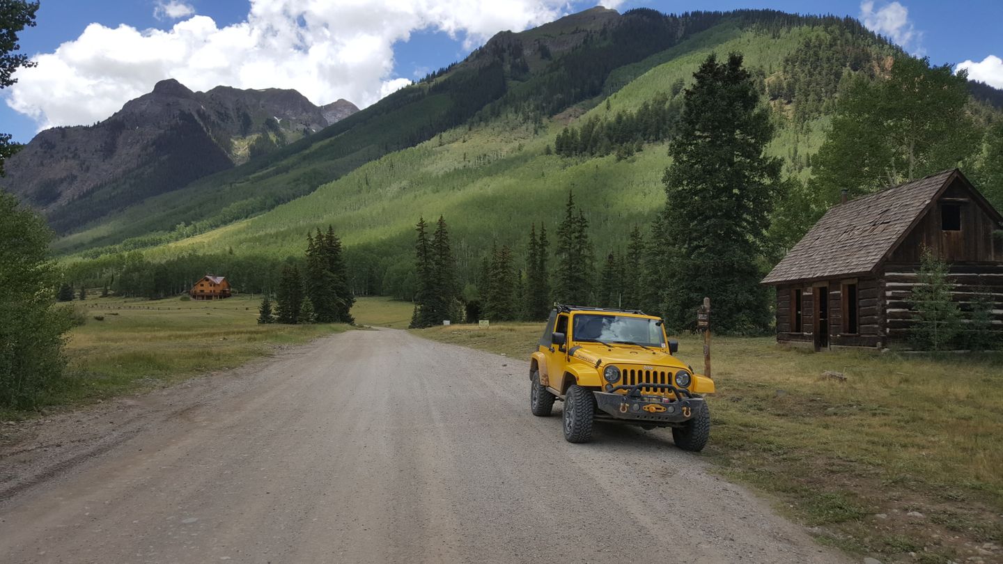
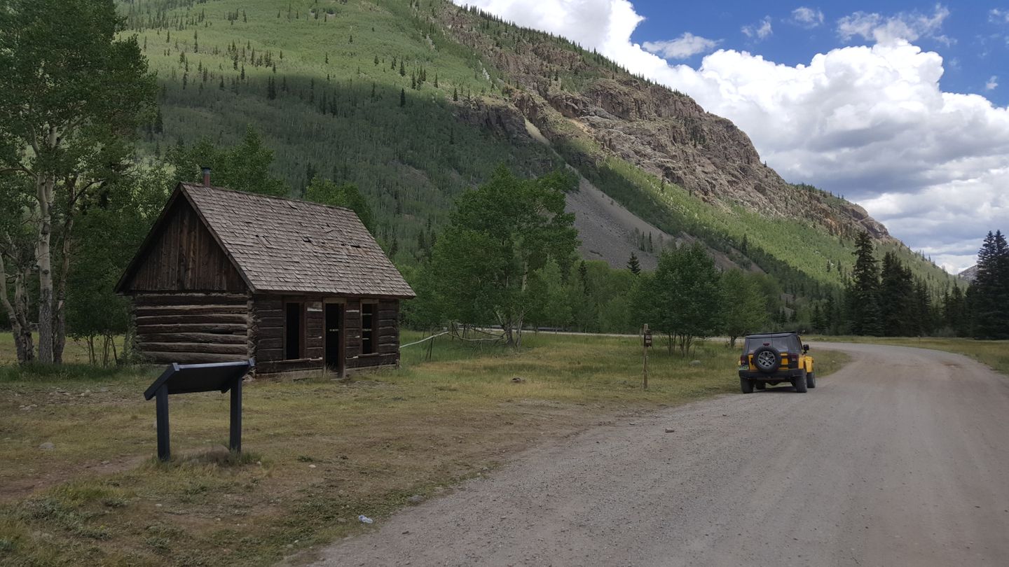
This is the historic Capitol City. You can stop here to take in the old buildings but please respect the historical site.
28. Intersection with North Henson Creek (CR 24) (19.7 mi)
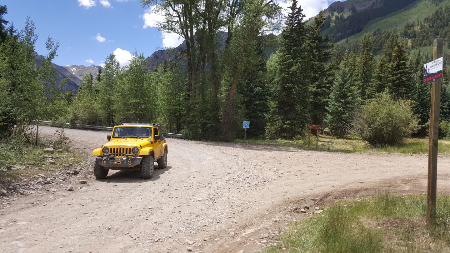
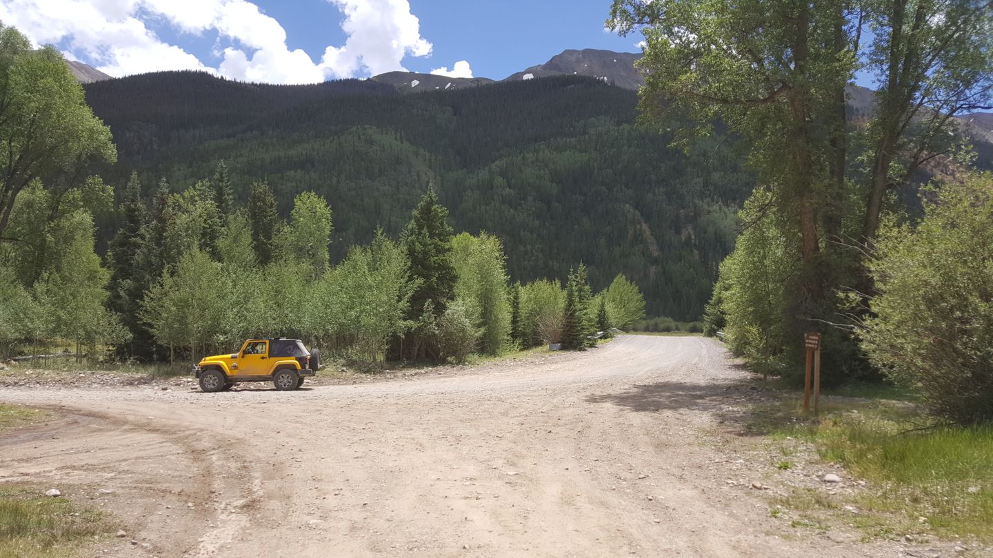
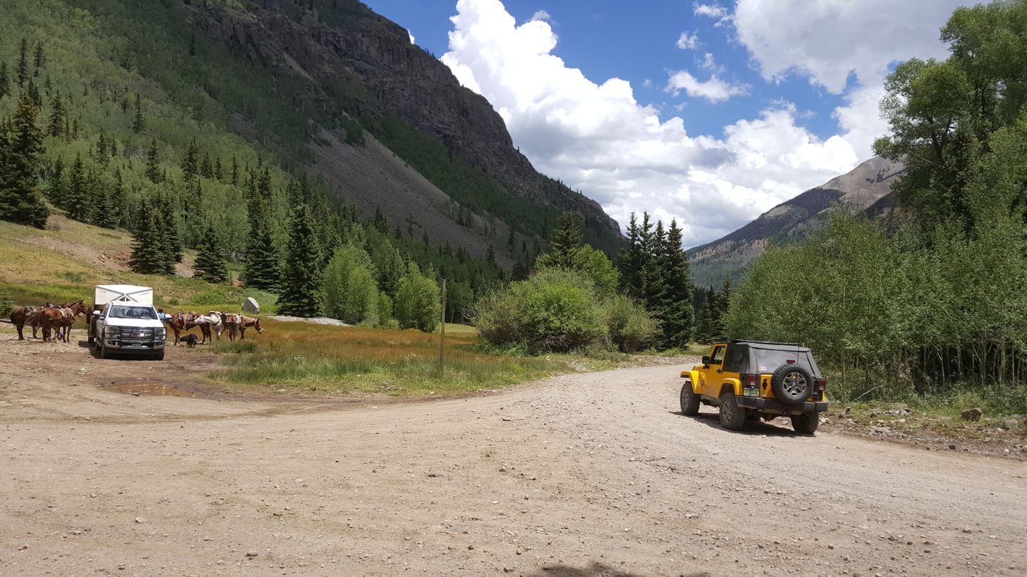
Stay to the right (east) at North Henson Creek (CR 24).
29. Intersection with North Henson (CR 24) (23.6 mi)
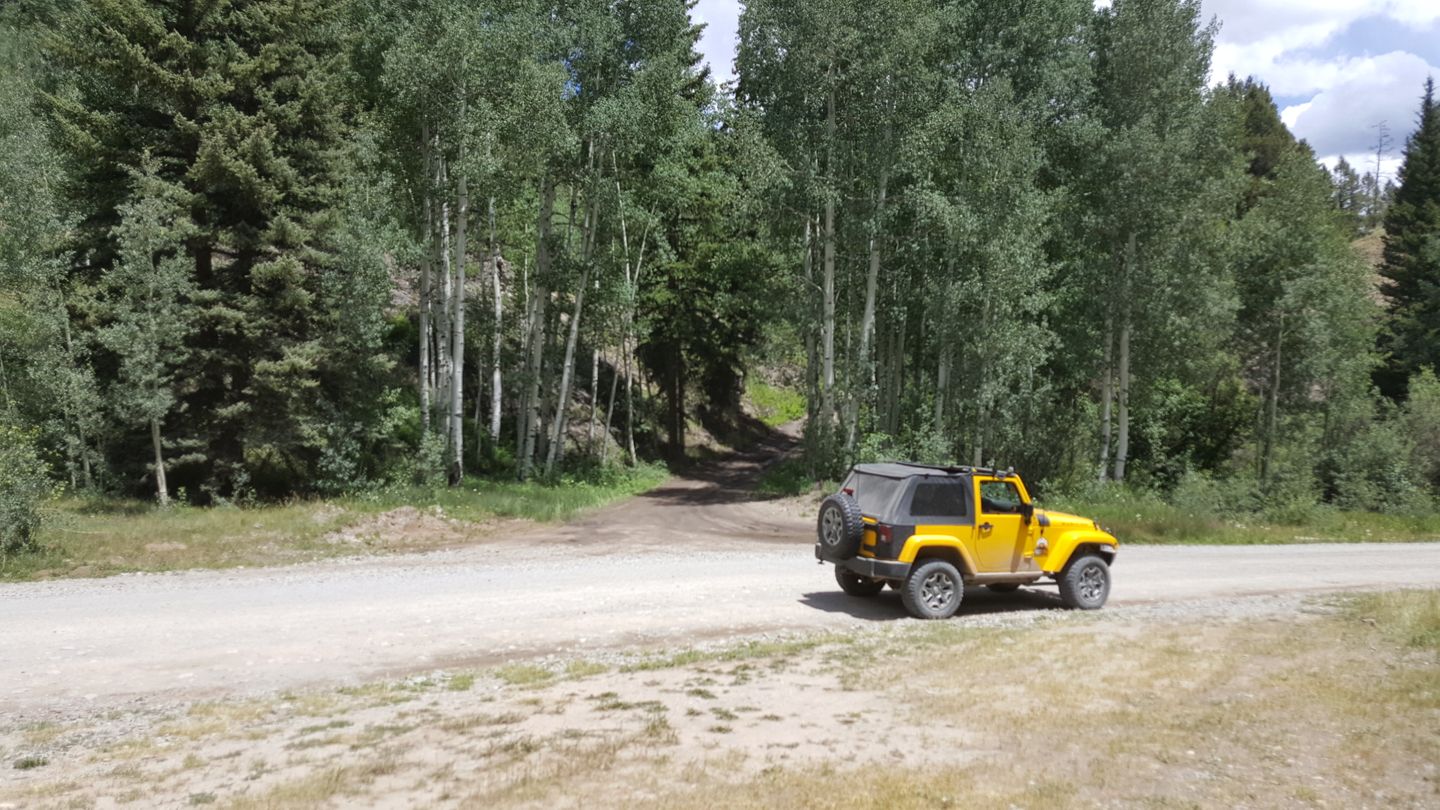
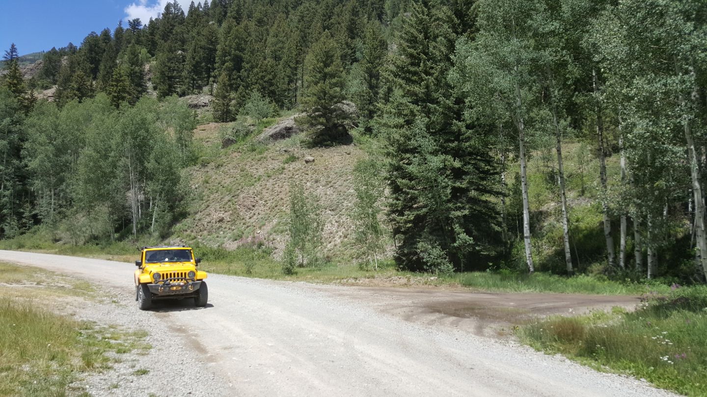
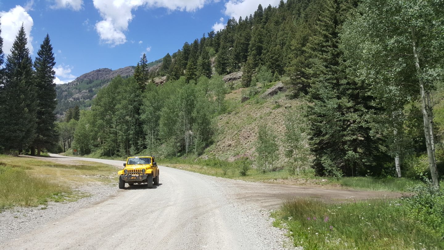
Stay right (east) at this intersection to continue to the exit of Engineer Pass.
30. Intersection with Nellie Creek (CR 23) (23.8 mi)
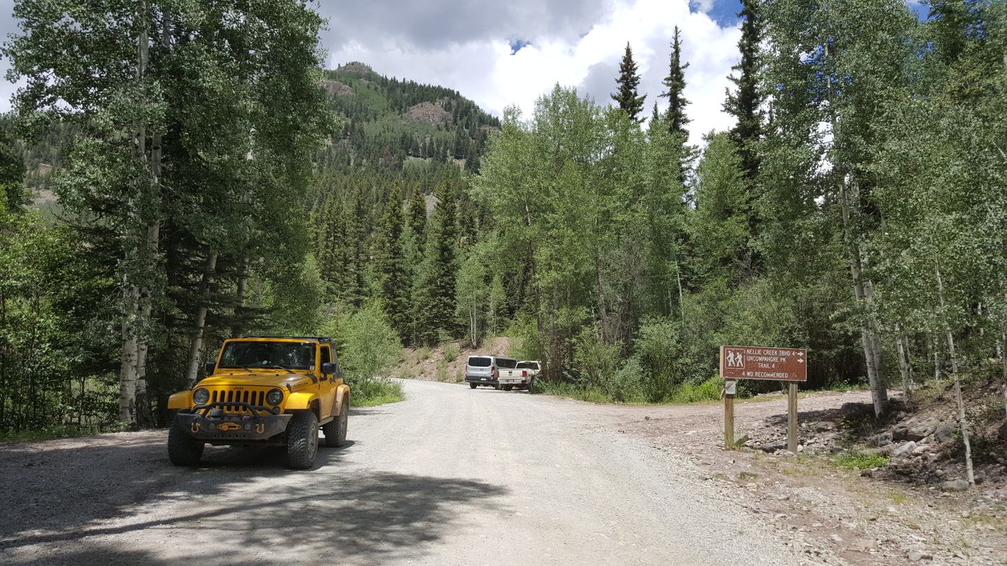
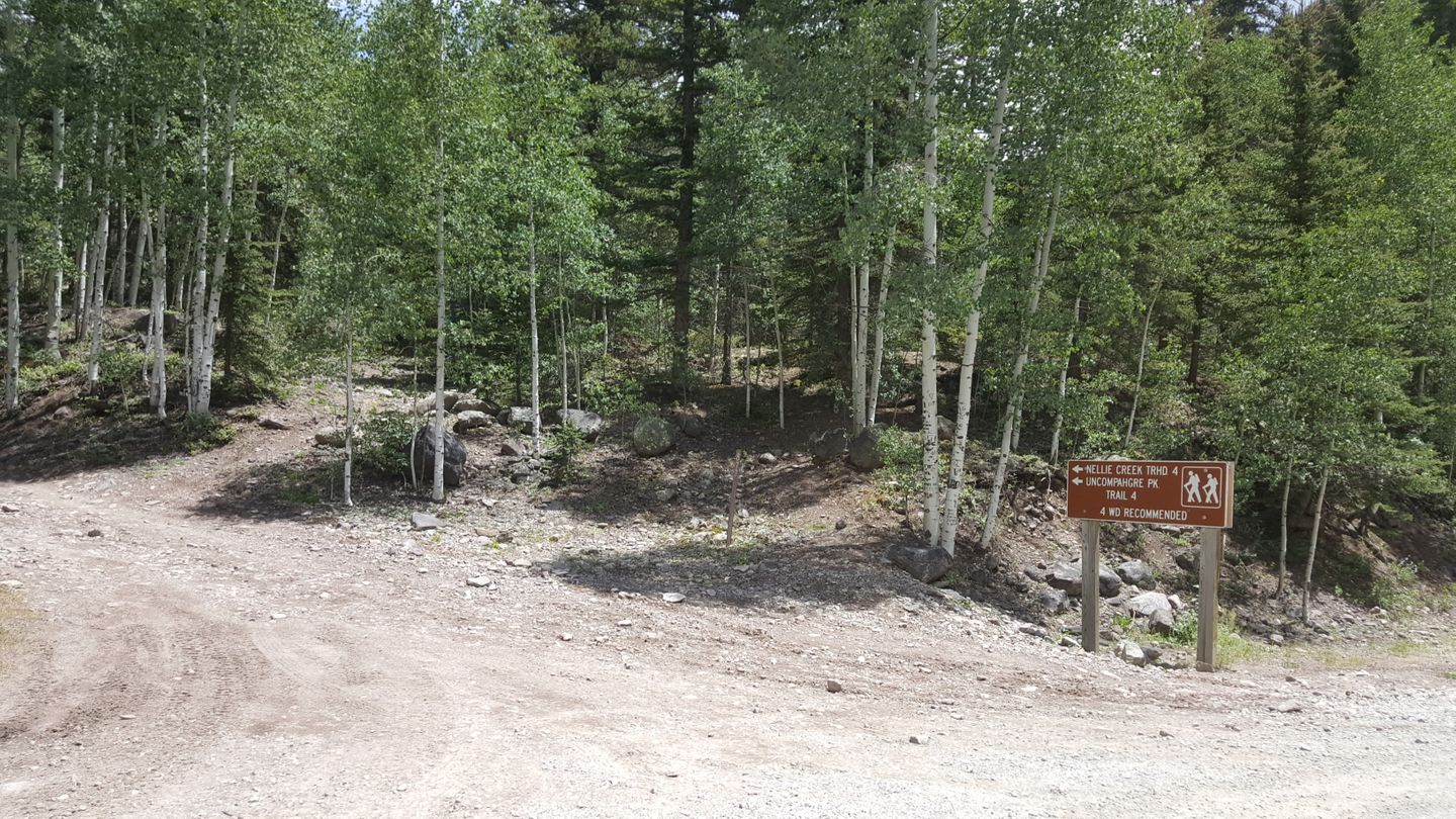
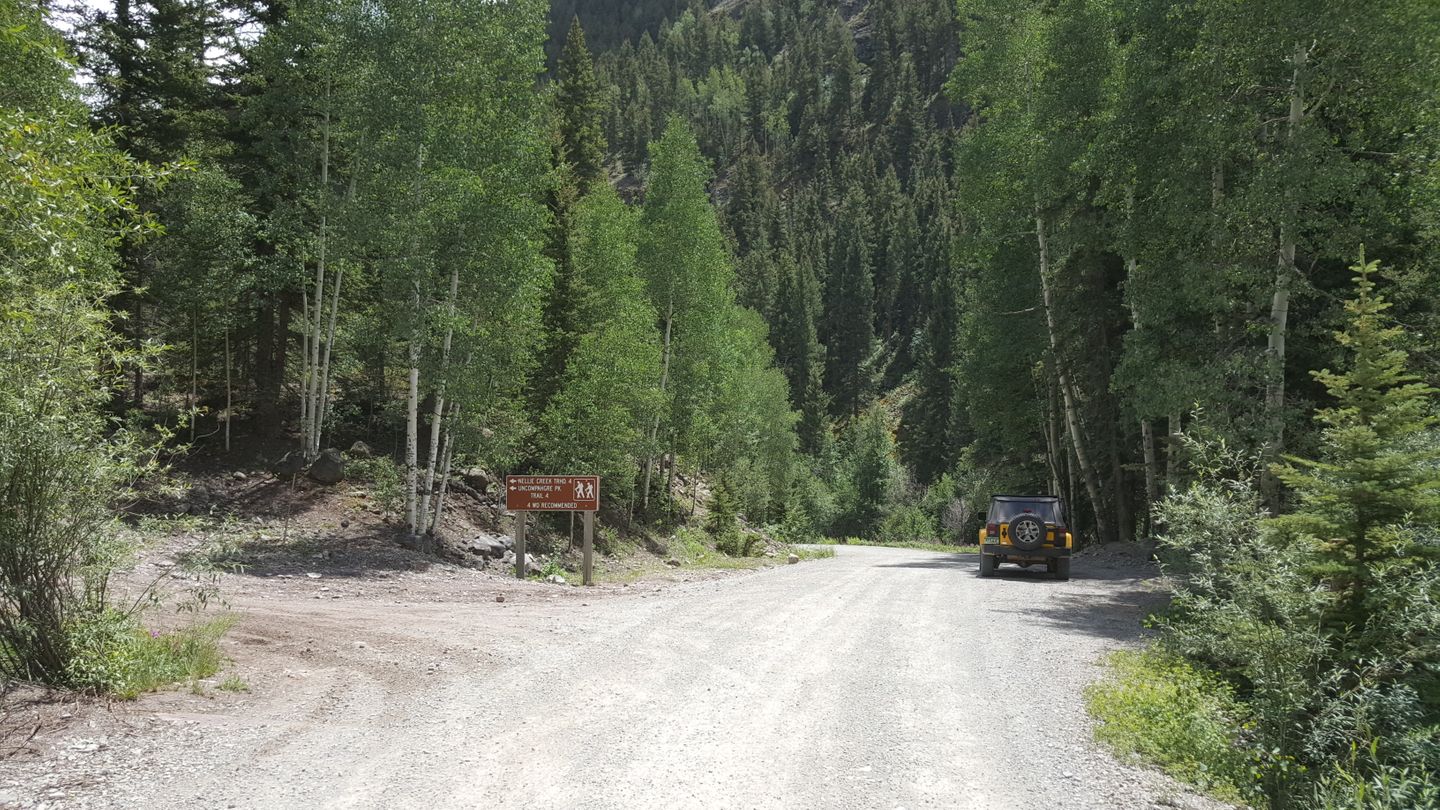
Stay to the right (southeast) at this road. There is a public restroom just to the east of this waypoint.
31. Hard Tack Mine & Overlook (25.2 mi)
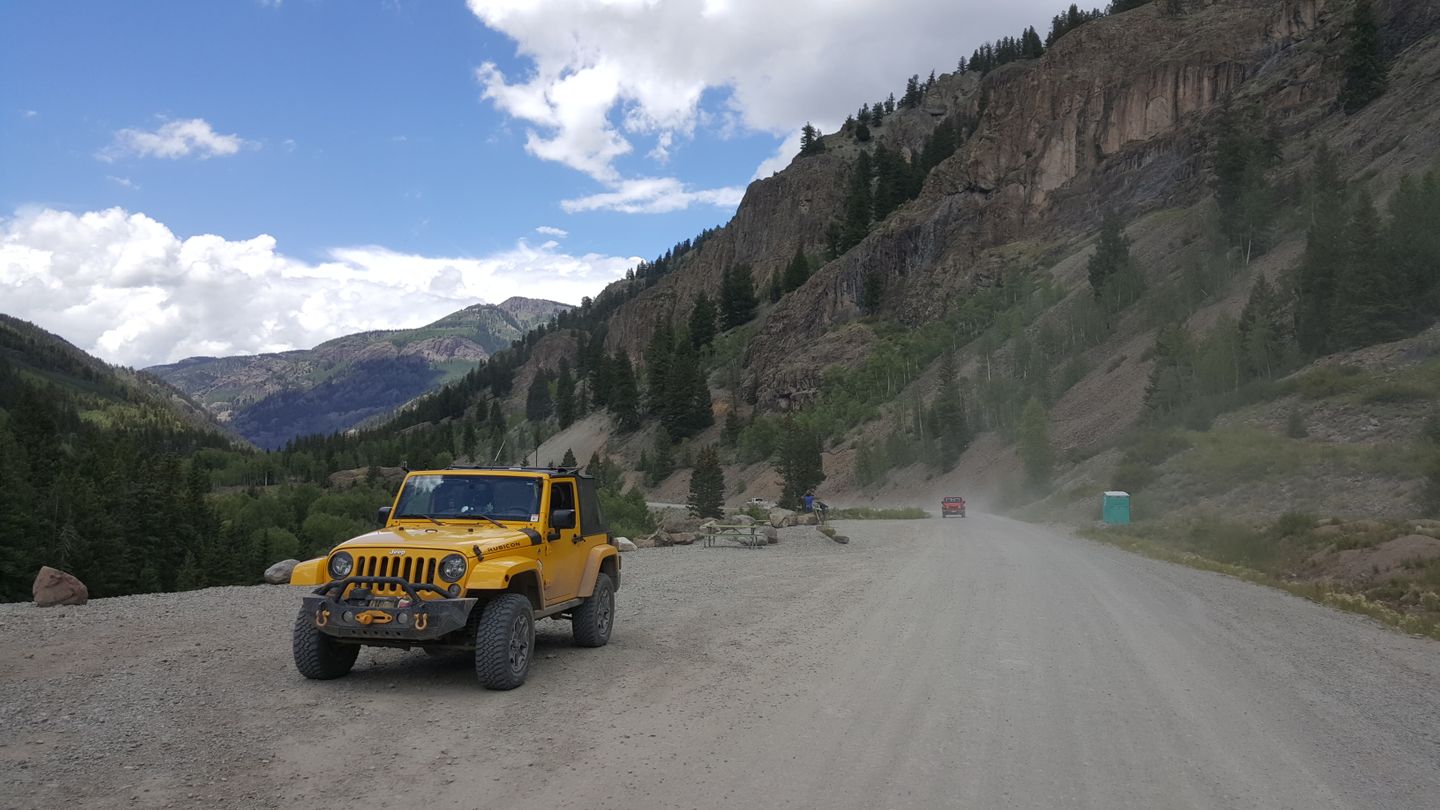
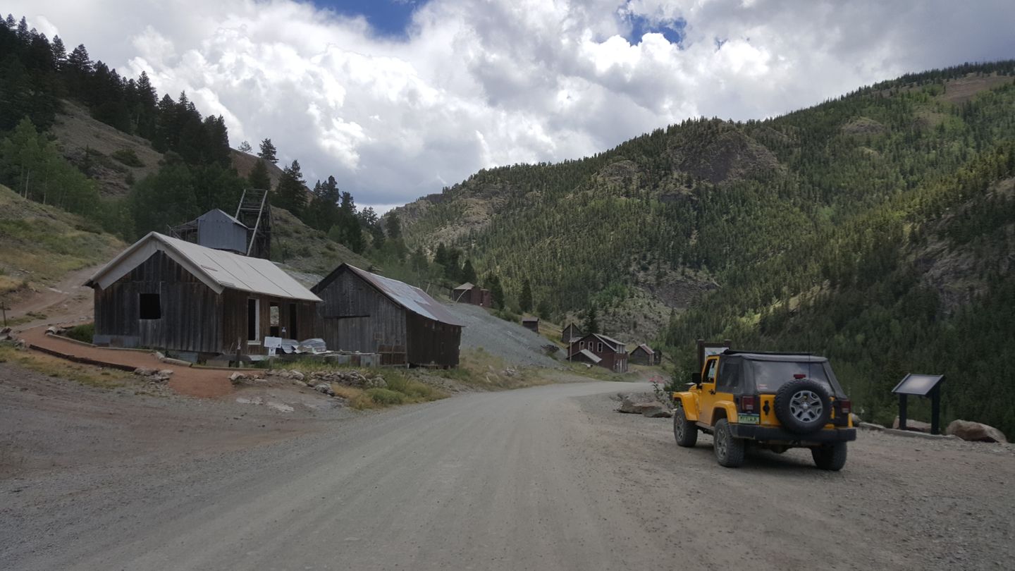
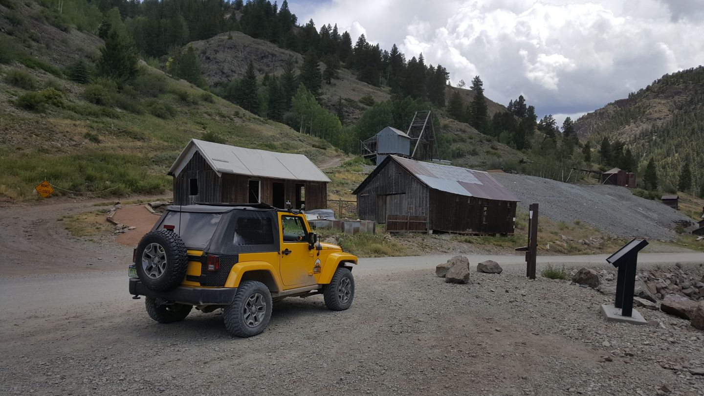
The old Hard Tack Mine is here along with some buildings that you can walk around. Do not go beyond the fencing and park away from the trail if you’re going to stop here. Some of the signs could use some work. Read more about the mine here until they get fixed up.
32. ATV Parking Lot/Staging Area & Trail Entrance (28.3 mi)
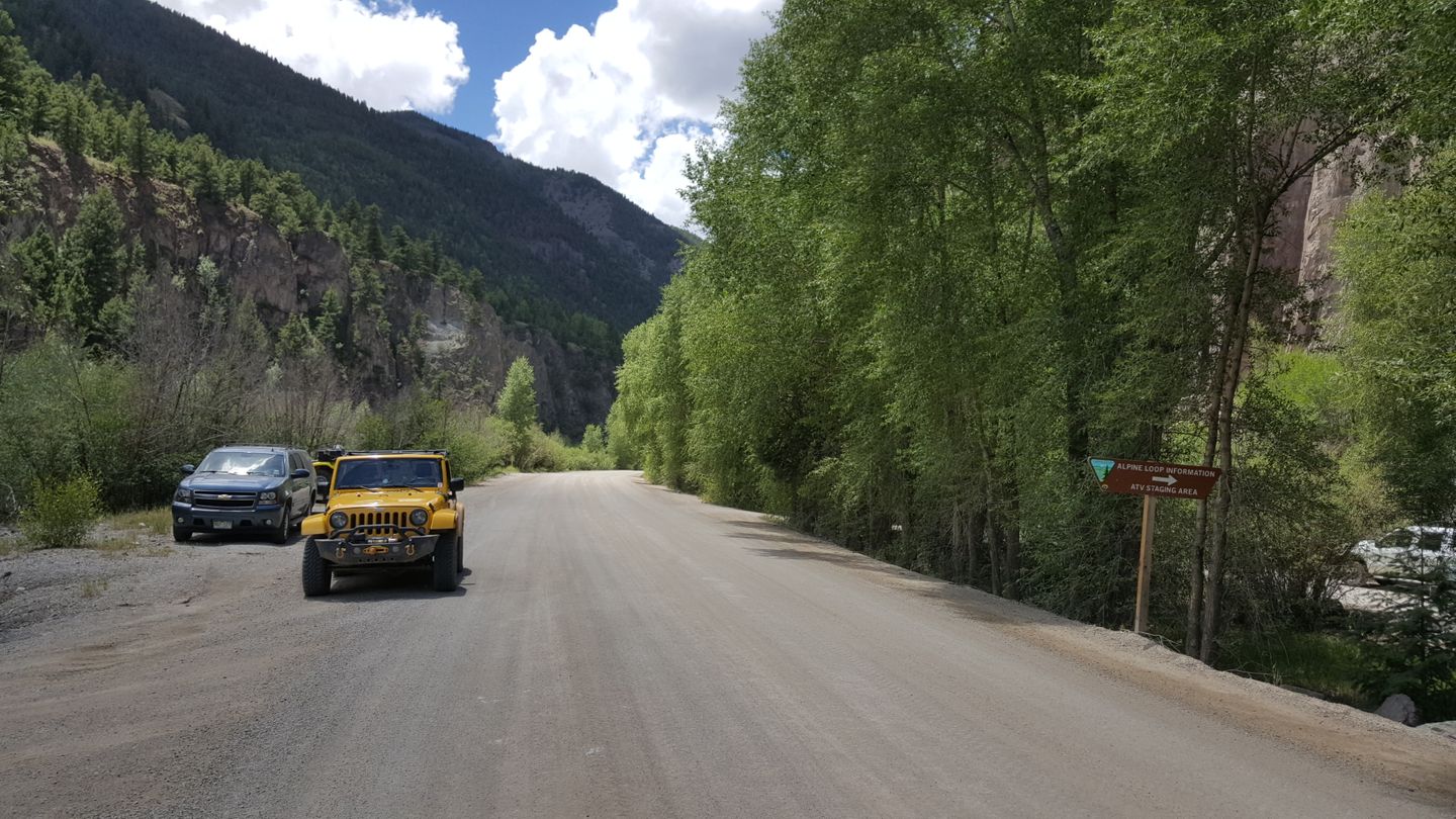
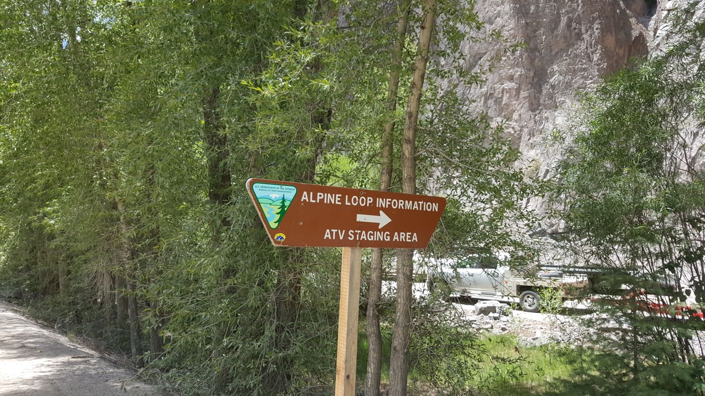
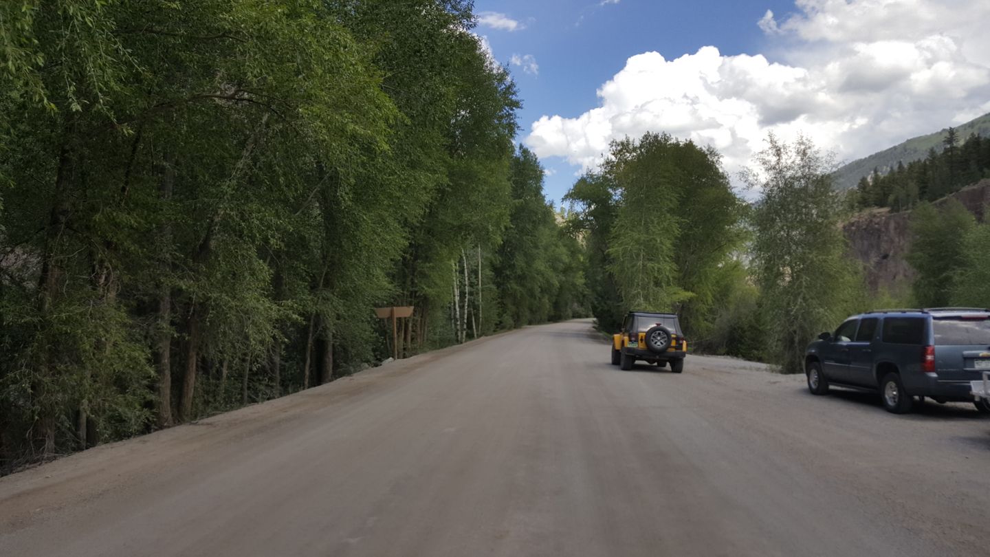
There is a large ATV staging parking lot on this end of the trail. Behind the parking lot are some ATV entrances into the area.
33. End Trail at Lake City (28.9 mi)
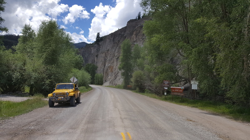
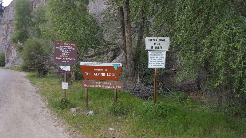
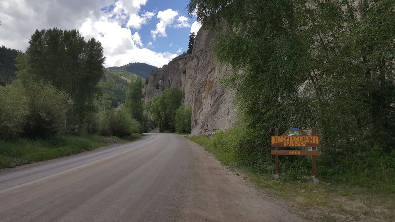
The trail ends at Lake City which is a very off-road friendly town. You will see signs on the side of the road for Engineer Pass and for the Alpine Loop in general.
Turning right (southeast) will send you back into the Rio Grande Forest and southwest towards Alamosa. Turn left (north) to CR 50 and Gunnison.
Dispersed
Dispersed camping is allowed, though trailsoffroad did not observe that many camp-rings since camping above the timberline can be rough. Mind fire notices and a 14 day limit on camping in one spot if you decide to stay along trail.
There are campgrounds near the trailhead including Angel Creek Campground and Ampitheater Campground. One of the largest and busiest campgrounds in the area is the first come, first serve Mill Creek Campground. You have to make reservations or get there early if you want to camp this near to the trail. The peak of the season means that the campsites fill up fast.
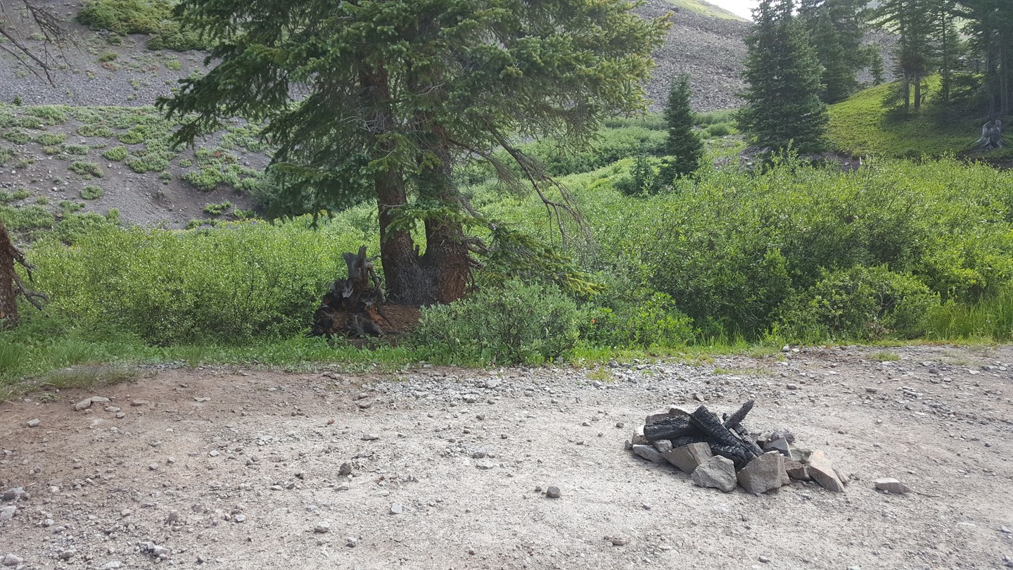
Starting Point
Ouray
From the town of Ouray, travel south on the Million Dollar Highway (US-550 S/3rd St/Main). Drive for 3.9 miles and the trailhead will be on your left (east) after a sharp turn. Look out for the large parking lot.
Trail Reviews
4.9/5 (93)
Open
Rated
4/5
Visited: 09/26/2022
Difficulty Accuracy:
Harder
We attempted this trail west to east using a Honda SXS. Very rough with a few low benches until Poukeepsie Gulch intersection. Then some nasty moderate off camber benches that turned us back. Significantly more difficult than the guide would have you believe. This was after Imogene Pass the day before, where we never felt challenged. The pic is the bench that stopped us. Always steeper than pictures show
Open
Rated
4/5
Visited: 09/18/2022
Difficulty Accuracy:
Harder
Other publications separate Mineral Creek from the Engineer Pass - Alpine Loop trails, I believe this is the better way to approach publishing this classic route. While on the Mineral Creek trail my friends clearly stated: 'this is anything but easy.' The off-camber sections of Mineral Creek above the Poughkeepsie Gulch intersection make it so. I recommend Trails Off-road split these two trails apart so as to better inform the new trail rider of the characteristics of each.
On The Engineer Pass portion the lack of knowledge on trail etiquette made for some awkward moments on the Engineer Pass shelf road. With the growth of trail riding in this area by drivers new to off-roading I might suggest the writers take a sentence or two in reaffirming the practices of being courteous and knowing right of way; who yields, where, when and why.
Outside of that the Alpine Loop is a classic! Lunch at the Cannibal Cafe in Lake City was a big bonus and getting to share the story of Alfred Packer adding to the lore.
Open
Rated
5/5
Visited: 09/12/2022
Difficulty Accuracy:
Harder
We did this E to W, and the trail was extremely easy until you get to the last 1.5hr which is when you hit some pretty gnarly 4 shelfs. Its a slow tough right that final 1.5 stretch. The camping at the start of Poughkeepsie Gulch (when W to E) is pretty good too.
Open
Rated
5/5
Visited: 09/10/2022
Difficulty Accuracy:
Spot On
Cinnamon Pass, which I completed on Thursday, and Engineer Pass, make up the iconic Alpine Loop. The west side of Engineer Pass is a challenge. The Engineer Pass trail is 21-miles long but it is only 2.3-miles to the Summit from the end of the easy connector trail. Going up to the Pass, from the west, the ascent is a short but continuous, very steep, rocky, rough, twisty, narrow shelf trail to the top. It is slow going and 4-low the whole way up. O-point (Odom Point), is the highest point on the trail, at 12,956-feet, Engineer Pass is 12,800-feet. One mile after the pass the challenge is over, the trail becomes rutted but very easy going. The scenery is magnificent, with stunning views of a couple of the San Juan’s, 14’ers: Wetterhorn and Uncompahgre Peaks. There are also several mines to explore and view, making for an interesting drive back to Lake City, and the completion of the Alpine Loop.
Open
Rated
5/5
Visited: 09/10/2022
Difficulty Accuracy:
Harder
Ive run this trail twice over the past couple years both up and down once on accident thinking we were taking the Alpine Loop Connector and once on purpose and I think the guide either needs an update or have sections 1 through 11 split off into its own guide like Funtreks does or have the difficulty bumped up.
Those sections have gotten much more difficult since this guide was written. I drive a stock 4Runner Off Road with 32s and while I never felt under vehicles for that section, I was driving with a more skilled second vehicle who’s lines I could follow and did need spotting from time to time during some off camber situations next to the cliff. I would personally rate this section of the trail a 5. Going uphill is easier than going downhill as you can see your lines and react to oncoming traffic better.
The rest of the trail is gorgeous and I highly recommend. Its a very fun way to skip the construction on US 50. If you want a fun drive but dont want three hours of rock crawling and shelf roads skip sections 1 through 11 and meet up with the trail at Alpine Loop connector at guide point 11. Otherwise those sections are very fun and rewarding if you’re prepared for them.
Open
Visited: 08/18/2022
Difficulty Accuracy:
Spot On
I'd say with the Mineral Creek portion of the trail I'd give it a Spot On with a lean towards Harder. It took longer than expected to get up the that section especially with traffic going the opposite way down the trail. Some places took a bit of jockeying around for passing and uphill/downhill right of way didn't really matter much. Other than that the route is just as described - very easy. I thought it was slower than Imogene going up the final shelf road to the pass. Driving 4Runner TRD Pro with Icon stage 7 and secondary front shocks. Toyo 33x12.5 mud terrain. Fully loaded for several weeks of overlanding for my wife and myself. No rooftop tent so CG was low. With rear locker use at times on some larger rocks no problems at all on the 1st portion of the trail. The whole route is fun. Found camping about 5 miles outside of Lake City on side road to the left (Nellie Creek Rd I believe).
Open
Rated
5/5
Visited: 08/14/2022
Difficulty Accuracy:
Spot On
I disagree with those saying to skip the first section starting from ouray. Coolest part of this trail is there is stuff for everyone. The first part has some more technical crawling and off camber stuff but nothing unmanageable with good tire placement. Then the views on the shelf road worth it. The last bit going into lake city was pretty boring and cinnamon was horrible for competeing the loop. I think I'd run ouray to the end of the shelf road turn around and go back to ouray if I were to do it again.
Open
Rated
5/5
Visited: 07/18/2022
Difficulty Accuracy:
Spot On
Based on reviews here and my own look at the Mineral Creek entrance, I started this trail by taking County Road 2 out of Silverton to Animas Forks and then up Engineer from there. Based on that route, I think the rating here is right. I'll add my vote to the others though for breaking off the Mineral Creek Trail portion and assigning a more difficult rating. (The FunTreks Guide does this and assigns Mineral Creek a Difficult rating where Engineer Pass is rated Moderate.) I skipped it because even though I've got 33" AT tires, they're on a stock suspension without skid plates and I'm still a novice.
All that said, Engineer Pass is as epic as everyone says. Amazing scenery and history. Challenging in spots, but completely passable in a bone stock Jeep or similar 4x4 with some clearance. If you plan to do the entire loop, get started as early as you can. It's 1 or 2 hours in to the junction with Engineer and Cinnamon from pretty much anywhere, plus the time on the loop. The later you start, the more traffic there will be and the slower the going. With some planning it's a great day!
Open
Rated
5/5
Visited: 07/12/2022
Difficulty Accuracy:
Harder
A group of us did engineer pass 2 Sequoia and a Jeep Gladiator. The first part of the trail was very rocky and difficult. I agree with the previous review I would break off the first part of the trail, that start just out side of Ouray, since it can be avoided by going to Silverton and getting to Engineer pass from that direction. except for the hard start it was an excellent trail with stunning views. because of the amount of people on the trail it took us 7 hours to complete. Very cool experience, will do it again sometime, but not for a while.
Open
Rated
5/5
Visited: 07/11/2022
Difficulty Accuracy:
Harder
Had a blast doing this trail. We started in Ouray on the portion of Engineer known elsewhere as Mineral Creek. The first part of this pass was very rocky and challenging and definitely harder than the 4 rating it is given. Once you enter the Alpine loop portion of Engineer Pass things get much easier. I think TrailsOffroad should consider breaking the first section off from the alpine loop portion and giving it a separate difficulty rating or increase the overall difficulty of Engineer pass.
Open
Rated
5/5
Visited: 07/08/2022
Difficulty Accuracy:
Harder
Beautiful trail offers a little bit of everything. I agree with other posters about splitting mineral creek into its own trail. I ran mineral creek downhill to Poughkeepsie and I would not recommend this trail to a novice driver. In a lifted 4Runner on 33’s there were definitely some off camber white knuckle moments where driver error or an incorrect line could lead to tipping over/off the cliff.
Open
Rated
5/5
Visited: 06/18/2022
Difficulty Accuracy:
Spot On
So glad we did the full route and didn't take the Alpine cutoff loop from Cinnamon. Nearly all of the technical challenges are below the cutoff. There's little reason to even call this trail moderate if you take the cutoff from Cinnamon. West of the cutoff there are several sustained rocky challenges which made the route much more interesting. Of course the views are great for the entire route. If it gives you some idea, a completely stock Chevy Avalanche attempted the route from the Lake City side and got stopped at the first technical switchback on the Ouray side where they had to turn around. Thankfully we passed them at the cutoff intersection.
Impassable
Visited: 05/15/2022
The road is currently only open on the San Juan County side, from waypoints 11-15. Ouray County (waypoints 1-11) has not begun plowing operations yet. Hinsdale County (waypoints 15-33) is still in the processes of plowing. You can access the summit by coming up County Road 2 from Silverton, through Animas Forks, and using the Alpine Loop Connector.
Partially Open
Visited: 10/11/2021
Difficulty Accuracy:
Spot On
Brought the 4Runner here after getting the new OME lift and SPC UCA's installed. Breathtaking, challenging, and a bit scary haha. There was some snow on the trail near the top but it was otherwise dry with a few puddles. We got SO CLOSE to the summit and could have pushed on but I was uncomfortable when I felt some slipping on the snow/ice on such a narrow shelf. Still a relative noob. Turned back at Odom Point and headed down Cinnamon pass to Lake City. Cinnamon is a fun trail but the views included a lot of beetle kill forest :( Big snowstorm the next morning...glad we got to try it before it was too late. We will be back next summer to complete it.
Open
Rated
5/5
Visited: 10/05/2021
Difficulty Accuracy:
Harder
I've done full Engineer Pass before but we were camping on Poughkeepsie and took a wrong turn and did part of it as the sun was coming down so thought I'd share the experience. The trail does require spotting in some places. We had a lot of gear up on our roof rack making my XJ (2.5", 30", LSD, frame stiffeners) tippier than usual so making it a little harrowing. That's on us, obviously. But in my assessments there are absolutely obstacles where you could potentially tip a vehicle if not careful, so definitely get out and spot if you think you should (particularly coming down east-west). This is one of those situations where obstacles are not what they seem until you walk them.
We turned east from the alpine connector rather than west to go back to the camp site and made it up to Engineer Pass before I realized what I did. My girlfriend is usually pretty good with this stuff but I saw her get sick for the first time on the way back. She thinks it was the elevation combined with the trail. If you have anyone who gets green around the gills might be good to keep in mind. Your passenger is also going to be looking at a lot of sheer drops. We had also put in a hard day of wheeling so that likely contributed as well. Thankfully I have extra lights installed but I wouldn't suggest taking the trail in dark if avoidable. We wound up shattering my back glass (somehow).
But from my prior experience I'll say this is a very rewarding trail with absolutely incredible views. Probably my favorite in CO. I would only call the western 1/3 or so a "trail". Once you get a little ways east of the pass it's mostly a well maintained dirt road. Don't forget to download the Jeep app and get your badge of honor!
Also, there is bathroom on this trail about a mile west of the pass.
Open
Visited: 10/03/2021
Difficulty Accuracy:
Harder
Ouray to Lake City. This is my favorite trail so far in this area. Way point 6-7 was the most technical. Harder than I expected based on the rating. This trail is rated the same as Stoney Pass and is much harder in my opinion. I drive a 2nd gen tacoma with a 2" lift. Needed a spotter on 2 sections. So glad I did this trail from Ouray instead of bypassing the beginning. Was challenging but very fun!! The views at OH point are incredible!!
Open
Rated
5/5
Visited: 09/26/2021
Difficulty Accuracy:
Harder
History and views to just make you say WOW 100x a day ! I did this as part of the Alpine Loop via the Connector so I missed the more difficult from Ouray. I found the trail VERY challenging in my bone stock Jeep Liberty with crappy tires. The switchbacks can be rutted and some ledges that make it difficult if you don’t have a good rig setup. I’m guessing even the stock Jeep Rubicon’s would have to watch tire placement.
Make extra time to stop and see all the history, it’s crazy what people did here in the late 1800s!
Oh and don’t forget you Jeep Badge of Honor if your into that sort of thing.
Open
Rated
5/5
Visited: 09/23/2021
Difficulty Accuracy:
Harder
Ran trail backwards according to the guide which made the obstacles a bit harder as you can’t get a good view of what to drive over with the hood in the way. Camped overnight on the Lake City side before making our way into Ouray in the morning. Campsites looked like they were 50% filled on a Wednesday night at the end of September so I can only assume that they fill up quickly on the weekends. Cell service is non existent outside of Lake City and Ouray so make sure to get any important calls/texts out of the way before hand. There’s nothing super difficult with this trail but it’s not for beginners. It helps to take your time and not rush the off camber obstacles. There was one spot that took me by surprise between waypoints 2 and 4 where the trail has been eroded away by runoff this year. It completely swallowed my 32s and I dragged my rear recovery hook coming out of the hole in the trail. Made it all the way from Lake City in stock 2-door wrangler with MTs.
Open
Rated
5/5
Visited: 09/22/2021
Difficulty Accuracy:
Harder
Did this the day after doing Imogene. Definitely felt harder than Imogene for the first hour or so- and research made me think it would be fairly easy. It’s pretty rutted in some areas, and there’s a couple sections 4lo and crawling felt necessary. Tons of fun though in a lifted FJ.
Open
Rated
5/5
Visited: 09/18/2021
Difficulty Accuracy:
Spot On
Did the trail from Lake City to Ouray. The trails start is easy and wide but eventually narrows down and becomes more challenging. Although at the higher altitudes the trail was narrow, fell off steeply and had no room to pass, the most difficult part we experienced was in the section between Ouray and the cut off to the Cinnamon Pass trail. There were places where the best line over a narrow rocky section also put the Jeep uncomfortably off camber in the wrong direction. Overall it is a challenging but rewarding trail.
Open
Rated
5/5
Visited: 09/09/2021
Difficulty Accuracy:
Harder
Took Engineer Connector up from County Road 2 in Silverton. The drive up to the summit was good, a few places where finding a good line makes a nice difference.
Came back down from the summit to run Poughkeepsie Gulch, this direction running down Mineral Creek gets pretty sketchy as you get about a 1/4mile away from the Poughkeepsie trailhead. There's some large ledges w/ some off camber spots, need to really pick some good lines in a couple spots as you're going down blind in a few areas. This would be much easier going from West to East in this area for sure. I think the rating needs to be bumped up a bit due to this stretch in the trail, everything else would rate a Moderate IMO.
Open
Rated
5/5
Visited: 09/05/2021
Pass 1 of 3 for the 2021 Labor day weekend. Started in lake city and ran it backward to Ouray, according to the guide. The Lake city side of the pass is really mild and the Ouray side is much rockier and off camber in places. Touched my skid plates a bit right after the cutoff to poughkeepsie (WP6-7). Lots of traffic. Beautiful views and lucky to have great weather.
Stock 2018 WK2 Grand cherokee trailhawk
Open
Rated
5/5
Visited: 09/02/2021
Drove out on Wednesday and made it into Lake City where we spent the night. With the closures on US-50 it was a better option than trying to get through the traffic to Ouray. Traveling west the road follows the river for quite a ways before heading up in elevation. We took a side trip up to the Golconda mining complex that was well worth the ride. With the side trip up to the mine we spent about 6-8 hrs on the trail and enjoyed every minute of it.
Open
Rated
5/5
Visited: 08/18/2021
First time on this trail, picked it up starting at waypoint 11. I was really surprised by how much the road is washed out starting at this point. The pictures on this trail guide at waypoint 11 do not show the road damage that is there now. It’s created a long washout in the middle of the road where you can either try to stay left of the washout and be right on the edge, or you can straddle the washout underneath you which is what I did. Either way it’s not pictured in the guide, and of course I forgot to grab a pic of it too. There are a few more places going up the switchbacks suffering from erosion but not as bad. Overall I enjoyed the section I did, and the Lake City side had no obstacles, just endless bumpy road.
Open
Rated
5/5
Visited: 08/12/2021
Ran the loop CW out of Lake City on Thu Aug 12. Fairly quiet day with only ~15 Jeeps and 25-30 OHV/other vehicles. Took about 5-5.5hr with a few quick jaunts to the sights, but not many since the kids were a little car sick. It has been 17-18 yrs and many vehicles owned since we ran this last; it felt good to get out again..
Very scenic and classic ride, with some definite moderate spots west of Cinnamon Pass, on the connector, and west of Engineer Pass. The first and last quarters of the loop we ran in 4H, and the middle half in 4L disconnected in a stock 4xe Rubicon wo lockers; no issues and probably didn’t need to get out that one time, but some of the switchbacks are tight and have deep ruts.
We could see some of the recent washout repairs, but nothing was very concerning. While scenic, I agree that Cinnamon is a little more boring than Engineer Pass. Next time I might take Engineer connecting to Silverton, or to Ouray and over Imogene.
Open
Rated
5/5
Visited: 08/11/2021
Difficulty Accuracy:
Spot On
Came off the Mineral Creek trail and linked up at the base of the pass on the west side. We ran this on a Wednesday and it was PACKED with rental sxs's. Wall to wall people going both directions. The trail itself was beautiful scenery with only one spot that was at all "technical", which was the final climb to the summit on the west switchbacks. This was only difficult because I have an older CJ that at the time did not like angles and there was not much room if there was a problem. The mining history was thick and there were many side trips I wish we had more time to explore but the weather set in on us and we had to keep moving. Stopped by Rose's cabin on the way down but again it was a traffic jam of people. I would go later in the season to cut down on people.
Open
Visited: 08/10/2021
We started in Lake City and drove this trail as part of a camping and hiking trip and a plan to drive the entire Alpine Loop. After completing the hike to the top of Handies Peak (14056 ft) we continued the drive up Cinnamon Pass to the Alpine Loop Connector. We then began the trek up Engineer Pass. As a Novice 4 wheeler, in a stock Jeep Gladiator Rubicon with 33" tires, I found this trail a challenge and a test of my fortitude and off road driving skills. I have never driving anything like this before. The description (and pictures) on the site do not accurately describe what I actually drove. The ascent up from the Alpine Connector up to the top of the Pass was steep in many places and many of the switchbacks have rocky mound obstacles just above the turn of the switchbacks that I found a challenge in many cases and in one case I had to back up twice to get a good line over the obstacle. I drove the lower portion in 4H with the sway bar disconnected and the Off Road + mode on, but later switched to 4L and locked the front and rear axles as the ascent seemed to get steeper making some of the switchback obstacles more difficult. I also came upon a section of the trail that seem to be more Talis (lose rock) than dirt road. After reaching the Summit I felt a true sense of pride and accomplishment. The drive back down was much easier. The views along the trail were stunning. I drove the trail in the afternoon and only came across two Jeeps as I was getting started on to the Pass from the Alpine Connector. This trail, for me, was the most difficult trail I have completed thus far.
Impassable
Visited: 07/31/2021
FYI from Hinsdale County this morning - UPDATE
Saturday, July 31 - 7:30 am
CR 20 (Engineer Pass) remains closed due to a rock slide and road wash out above Whitmore Falls. Hinsdale County Road and Bridge are headed up this morning for road repairs. The road is closed by gate at Capitol City.
Travel with extreme caution in the back country this weekend. Heavy rains are predicted and washouts and flooding are possible. Expect closures and delays.
Open
Rated
5/5
Visited: 07/26/2021
Started Engineer on the Ouray side via Mineral Creek. Trail has deteriorated some since I was here 5 years ago with a rougher ride than I remembered. As we got to the higher elevation on the mountain, we got word there was a landslide near the pass. We turned around and headed to Lake City via Cinnamon Pass.
On the way back to Silverton for the night we took Engineer and the trail was open again.
The lower section of Engineer has a few lines that will need to be strategized and a few shelf ledges that will catch your breath. This is mostly an easy trail that anyone with a high clearance 4x4 can have fun on.
Open
Rated
4/5
Visited: 07/20/2021
Used the lower portion to get to Poughkeepsie then returned on it to get back from lake city, modified alpine loop. The lake city side has some great views and it pretty much a dirt road through the for 6+ miles. Had a little bit of traffic between lake city and the alpine connector. Almost no traffic from the alpine loop connector to 550. Overall nice trail and pretty easy. It had rained so lots of puddles but nothing too sketchy.
Open
Rated
5/5
Visited: 07/12/2021
Difficulty Accuracy:
Spot On
Fun trail with fantastic views and some old mines to explore. Ran the trail from west to east in a stock Gladiator with no real problems. The first 2.5 miles was the roughest and the most technical. I did rub belly a handful of times but nothing major. Once you’re past the first 2.5 miles or so, the trail becomes a lot smoother. There is one spot where the trail is a bench that was cut through cliffs. If you have a problem with heights, it might cause a problem.
Open
Visited: 07/10/2021
We ran this primarily as the "scenic route" to make our way back east from Ouray (to Lake City). It's a very long trail, but has some nice scenery, and many old mining sites to explore. Definitely a popular and busy route on the weekend - especially on the latter half of the trail that ran from where it branches towards Cinnamon Pass to Lake City.
Open
Rated
3/5
Visited: 09/05/2020
Did the trail from Ouray to Lake City. The first 6 miles was a little technical and had some good steps/obstacles. The mid section was very beautiful and enjoyable except for the hundreds of sheep??? Most of this above the tree line. The last 18 miles was a very easy dirt road that was very crowded.
Open
Rated
5/5
Visited: 08/28/2020
I only ran the rougher side that starts/ends at Highway 550 so this review doesn’t speak for the whole trail. I started on Cinnamon Pass in Lake City and then linked up with Engineer to head into Ouray. On top of heading DOWN the rough parts (I would have rather gone up), I did it in the rain when all of the off-camber rock sections and rock “walls” were slick. Some may disagree with me but I would definitely consider this part of the trail “difficult.” The road is somewhat narrow, it’s off camber, and it was wet. I had a great time but I’d be lying if I said I wasn’t pretty nervous for a good stretch of it. Overall, super fun and would like to do it again but heading the opposite way and when it’s DRY.
Open
Visited: 08/25/2020
Special Notice: This year's spring rains in the area created a lot of soft ledges and dirt along Engineer Pass. Specifically, the attached pictures are taken from a spot where four vehicles have fallen through a washout. While we hope there will be some signage before a permanent fix is put in, be aware of the area between waypoints 1 and 9.
Pictures from H&M Towing & Recovery
Open
Rated
5/5
Visited: 08/03/2020
Only went from Ouray to about waypoint 7 to camp for the night before heading over into Telluride. Very fun trail with great views. Saw a family make it all the way down to Ouray in a Nissan Rogue rental but it’s not something I would do if I owned it, they were scraping and bashing the entire way down. They told me that they had made it all the way from Lake City without issue though.
Open
Rated
5/5
Visited: 07/31/2020
Ran the Alpine Loop on 7/31 from the Ouray side. The first few miles of Engineer Pass are definitely "Difficult". Very rocky and rough. The skid plate on my Toyota 4Runner TRD Pro took a couple of serious whacks, but no damage done. The section after the intersection with Poughkeepsie Gulch is particularly tough with some mildly scary rock faces to climb.
Once you're past that, the trail is fantastic. Some narrow shelf road, but incredibly views and a ton of fun to drive.
On the way back over Cinnamon Pass, I decided not to take the Connector back to Engineer Pass, as I wanted to avoid going down the difficult part of Engineer. Instead I took Cinnamon Pass all the way down to Silverton and drove back to Ouray on the highway. Once through the bottom few miles of Engineer was enough for me!
Open
Rated
5/5
Visited: 07/07/2020
Started on the Ouray side. Stock FJ on 285s. The first 4.5 miles are for sure tough. It gets much trickier when you hit waypoint 6. I ran it to waypoint 11 and went to California pass...It was definitely harder than I expected. I ran Slaughterhouse Gulch which is a 3-5 difficulty a few weeks ago and it was much easier. I think this could have a 5 difficulty rating. I bottomed out a couple times but nothing too severe. Any modified rig would have a much easier time than I did. All in all it was a blast and beautiful as you get out of tree line!
Open
Rated
5/5
Visited: 07/04/2020
My first time over Engineer - it's a great road with some of the best views in the area. The trail isn't really all that technical, but there are some spots to watch out for and some one-car-width areas with no passing spots.
Ran this in a 2000 Nissan Frontier, 2" lift, 33's, no lockers, and a 2004 4Runner, 2" lift, 32's, no lockers.
Open
Visited: 06/20/2020
Started on the Ouray side. The first 4.5 miles is rough with some challenging rock climbs while off camber. I would be reluctant to take it with a stock vehicle. The narrow shelf road - is narrow! and spectacular! My wife could not stop talking about how beautiful it was from the passenger seat.
We drove it on a Saturday. Once at the top along the Alpine loop, there was a lot of traffic, but all good, everyone was having a good time.
Seasonal Closure
Rated
5/5
Visited: 05/13/2020
High Country Roads Opening Priority
May 12, 2020 Update
Crews will begin work May 18, 2020 with the goal to have all High Country Roads open by the July 4th weekend.
Please note: some services may be unavailable or slow to respond due to the COVID-19 pandemic. Please be respectful of local Public Health Orders and restrictions. Visit https://ouraycountyco.gov/396/Coronavirus-COVID-19-Updates-and-Resourc to check current orders and for more information.
(Note – Crew 1 and Crew 2 work concurrently)
Crew 1: Yankee Boy (Depending on snowfall, anticipated time to reach the Outhouses is 4 days.)
Crew 2: Red Mountain Town – Open the Main Loop
Crew 1: Corkscrew
Crew 2: Engineer
Crew 1: Imogene
Crew 2: Crews will move to help open Imogene after the completion of Engineer
Updates will be posted periodically on the Ouray County Website (www.ouraycountyco.gov) and on the Road and Bridge Facebook page.
***Subject to change due to weather and emergencies***
Open
Rated
5/5
Visited: 09/23/2019
I ran Engineers Pass starting from the connector trail off of Cinnamon Pass to connect to some other roads on my way to Buena Vista. It was a cool crisp morning with the fall colors starting to show. This was my first time on this pass, and compared to all the rest, it's just as good and I would recommend it as a must-do trail. I had the trail to myself minus 1 white two-door JK that I saw in the distance, but I could imagine on a busy day the experience would be much different. Start early!
Open
Rated
5/5
Visited: 09/21/2019
Engineer is one of my favorites in the San Juans. Amazing views everywhere and a challenging run for stock or near stock from 550 to the Alpine Loop Connector.
There is a recent washout just before step 4, the Michael Breen Mine, with about 6-8 feet of roadway missing. Hugging the inside wall gave less than a foot of clearance for the right rear tire on a stock JK.
Still passable today but will probably need work to keep it from eroding further by next season.
Open
Rated
5/5
Visited: 09/04/2019
Howdy y’all I came down engineer pass yesterday my first time I had a few folks tthat tried to tell me to turn back but let me just tell you I’m in My stock Nissan frontier with interstate tires and let me Telya. II saw all kinds of off-road jeep sitting with flat tires Adam he’s wearing a flat billed hat with the motorcross shirt what would we expect from a boy like that they laugh to be as I went by but I will laugh for the rest of my life knowing that I made it and they had a flat
Open
Rated
5/5
Visited: 08/31/2019
Absolutely great trail! Was able to go from Lake City to Ouray in about 6 hours in my 2019 Stock Tacoma OR. The trail gets real hairy west of way point 7. My truck was on two wheels trying to make the turn of one of the switch backs. Hit my skid plate pretty hard in some parts. Everything from way point 1 to 7 is pretty technical. If you're looking for an easier trip with less body damage I would suggest coming through Cork Screw>Hurricane>California>Alpine loop connector (did not do these and don't know the conditions. Plan on doing this once I make it back out to the Telluride Area). This will by pass the rough stuff and still allow you to make it to the top of the pass. Overall great trail, just the west 5 miles takes a while and is very technical going through the rock garden.
Open
Rated
5/5
Visited: 08/18/2019
This was the final leg of our Alpine loop trip. Easy from Lake City most of time until we came off the peak near Animas. Tons of landslides - too many to count- have kept this road closed, but luckily it is open now. We ran it downhill and ended in Ouray. It was by far the most difficult section we did. We ran it in stock 5th gen runner. Luckily a Cherokee was going down with us and he was graceful enough to help spot. The only damage I had was half crushed exhaust pipe under the engine (wish I had a skid plate). Maybe this is a 4/10 trail by Colorado standards, but there is no way this is ranked a 4 in southern california! Awesome trail but family was happy when it was over. Maybe because we had been camping all week and they just wanted to get a hot shower and out of the truck.
Open
Rated
5/5
Visited: 08/08/2019
Ran just the Mineral Creek portion to get back to Ouray after finding CR2 closed. Trail was wet and a little sloppy. I was in a full size stock Chevy and I scrubbed underneath more than I would have liked because it was a little slippery. I find this to be one of the harder sections of trail for my truck in this area not including Black Bear and Poughkeepsie. I love the trail, but find it tedious if it's late in the day because it's so slow and rough.
Open
Visited: 08/02/2019
We completed engineers pass from Ouray to Lake City.
Trail review is mostly correct, but the rocky switchbacks around waypoint 6 have some obstacles that I would rank higher than a 4 if you are not in a short wheelbase vehicle. Moderately lifted 2016 Tacoma was harder to navigate around some of the off-camber obstacles at the corners. The 2nd or 3rd switchback corner in particular had some decent 12-18 inch steps, but due to the angles it forced us to take a line on the extreme edge of the trail (and cliff) to make it up. The Jeep ahead of us was able to tackle directly and had I been able to line up that way it would have been much easier.
Trail took 7-8 hrs due the time spent on the switchbacks.
Open
Rated
5/5
Visited: 07/28/2019
The highlights review of this trail are spot on. We entered from the Lake City side around 12:30 PM in our Jeep Wrangle Rubicon with 2.5in lift and 37" tires. I could have drove most of Lake City side in my Outback. There were several UTVs and other 4x4s on the trail but it didnt feel crowded. Due to the excessive snowpack this year we counted what looked to be approximately 15 new or much widen avalanche chutes most on the Lake City side. Hats off to the crews you cleared the road as you had your hands full. With snow still present in the higher elevation there where wonderful waterfalls cascading down the mountain side almost every mile on the Lake City side. We stopped at Whitman Falls and hiked down to the base. The trail is a little steep but nice fall and the spray off it sure cools you down on a hot summer afternoon. Once you get close to the top there's a sign that says 4WD Beyound This Point. Good advice to yield to if your in a 2WD low clearance vehicle however a good driver could make it to the pass. Just do not go to Ouray. Turn around. Saturday afternoon around 2pm we were close to the top and about 75 to 100 yards behind a stock Gladiator and the weather broke. Lighting, hail, sleet and heavy rain poured down on us. Once we could no longer see the red Gladiator and we know the scenic pass would be visually obscured we found a spot to turn around and descended back to the 1st camping area. We stayed next to the creek and explored the area after the rain finally stopped. We found a beautiful secluded waterfall we had all to ourselves. Deer came and visited us both in the evening g and morning. On Sunday morning we headed out by 9am and reached the pass at 9:38am. We had it all to ourselves . Gorgeous views! There was still plenty of snow on the slopes. We took the traditional 4x4 pic next to the sign and then a selfie and headed towards Ouray. The road is much narrower and almost entirely a shelf road down to where County Road 18 meets the main road. There are few places to pass. Luckily from our higher vantage point we could see who was coming and start to find a pull out site. Only 4 vehicles passed us in this section. Once you get on CR 18 coming from Ouray the ride got interesting. The road track was much more washed out from this years snow melt leaving the road with loose rocks and rock drops. Only one drop was bad and we scratched our trailer hitch on it. Probably could have taken a better line or gone slower. What became the biggest obstacle on the trail was the number of motorbikes, UTVs and 4X4s coming up from Ouray. We had to find pull out on this narrow shelf road several times to let convoys of 3, 5, 7 or 15 vehicles go by. One time we encountered a group in a section with no pull outs. Since they were 4 vehicles it was easier for us to backup and find a spot. However backing up, uphill on a narrow shelf road for about 75 yards is no easy feat. Luckily 2 Jeeps coming up behind us realized what was happening and stopped at a pull out just back from where I found room. A little mirror turning in by vehicles and everyone got through. The Ouray trailhead was very crowded and we had a hard time finding a place to park and air up again.
While sometimes nerve wracking, with so many vehicles headed up the mountain the views were beautiful and the road a lot of fun to drive. And that is our Jeeper Tale.
Open
Rated
5/5
Visited: 07/27/2019
Pass is open but the west side is in worse shape than year’s past.
We climbed up from Animas Forks in light rain (stock 98 trooper with new Goodrich ATs). After Poughkeepsie gulch road joins, be on the lookout for a massive hole as you climb to the pass and some steep, rock switchbacks. Engineers summit to Lake City is smooth sailing.
BIG NOTE: Animas Forks to Eureka Gulch is closed by a huge avalanche run. It probably won’t open this year.
The route to Silverton (California Gulch, Hurricane Pass, County Road 110) is WAY rougher than Engineers. We watched a 4-runner with big tires fail climbing a wet, loose switchback on California during our descent from Silverton.
If you’re coming from Lake City and Engineers has you gripped, DO NOT head up California Gulch.
Open
Rated
5/5
Visited: 07/13/2019
Ran Engineer from Lake City to Animas Forks in my stock '16 Ram 2 days after it opened. It's worth noting that although the trail is not difficult, it is steep in sections and a low end transfer case is pretty much needed. It also helps to have some sort of AT or more aggressive tire. a standard street tire is asking for trouble.
The lower sections of the trail are absolutely riddled in relentless avalanches. I stopped counting, there are so many. No wonder it took so long for the trail to open this year. Once above treeline, you hit the plowed snow right about waypoint 18. They have plowed it plenty wide, so no passing issues on this side. The summit, and Oh Point are both plowed. Just beyond waypoint 13 all the way to waypoint 12, the trail is currently cut very narrow with only a few spots large enough to pull out. I watched 2 large Jeep groups in opposite directions attempt to pass each other and it took FOREVER to back people down the trail to enough wide sections. Waypoint 12 is a little more torn up than the photos shown and was the only tricky section for the Ram where I needed to get out and spot the wife as she drove.
The remaining part down to waypoint 11 was extremely wet and muddy. Even with brand new AT tires, aired down, we were slipping around some. From here we headed down the connector to Animas Forks. I was told on Monday (7/15) that the Mineral Creek side of the pass (waypoints 1-11) was open, but was unable to verify this firsthand.
Partially Open
Visited: 06/21/2019
Engineer is now partially open.
"ROAD OPENINGS!
- County Road 20 (Engineer Pass) is now open to Thoreau's Cabin.
- County Road 30 (Cinnamon Pass) is open to Burrows Park.
- Stay off avalanches, snow bridges and debris piles. They can easily collapse.
- Watch for log jams and pooling in the waterways. Water is still running high and fast, avoid roads and trails that cross streams.
- Be aware of changing weather conditions and rain events.
- Snow may still be present on high elevation trails and peaks." Hinsdale County
Impassable
Visited: 05/06/2019
Ouray County has announced that plowing operations have begun for these trails. From the county:
High Country Roads Opening Priority
May 6, 2019 Update
Crews will begin work May 6, 2019 with the goal to have all High Country Roads open by the July 4th weekend.
***Please be aware: Southwestern Colorado received an exceptional amount of snow during the 2018-2019 winter. Roads may be cleared later than usual, and dangers like avalanches may still exist into the summer months. Please use caution when venturing into these areas.***
(Note – Crew 1 and Crew 2 work concurrently)
Crew 1: Yankee Boy (Depending on snowfall, anticipated time to reach the Outhouses is 4 days.)
Crew 2: Red Mountain Town – Open the Main Loop
Crew 1: Corkscrew
Crew 2: Engineer
Crew 1: Imogene
Crew 2: Crews will move to help open Imogene after the completion of Engineer
Open
Rated
5/5
Visited: 09/09/2018
We did not take the Mineral Creek part of the trail, but went through Corkscrew,Hurricane, and California passes to connect to the trail. Outstanding views of the San Juan range from here. Trail can be rocky and steep in points, but nothing too technical. The trail from the pass to Lake City is easier and eventually turns into a gravel road. A must do trail if you're in the area.
Open
Rated
5/5
Visited: 08/22/2018
Drove from Silverton to Animas Forks, up Engineer Pass, wrong turn up California, back down, the up to Engineer Pass. Cloudy and dense fog. Lots of motorcycles and atvs who think they own the trail, even as you're going up and theyre coming down... Other wise spectacular views and some nice folks we met along the way. Sheep off the the left and they make lots of noise. was sort of silly. The ghost towns are worth the stop. Coming down to Lake City was bumpy but nice. Lake City gas station on left heading north to Gunnison has free air, 24-7 if im not mistaken. Pre paid for gas. Nice and sunny in Lake City
Open
Rated
5/5
Visited: 08/14/2018
If you start on the Mineral Creek portion off 550 be prepared for some tougher driving. Was by far the most difficult trail I did my in my trip to the region.
Also in general I’ll say the pictures do no justice to the views, and how steep the trails are. Be prepared for both.
The driving at the top is incredibly fun. The spur off to Odom point is a thrill. Get to ride the ridge and Odom Point is a fantastic place for a break.
Open
Visited: 06/11/2018
Spoke with the Forest Service today to verify that this trail is NOT part of the San Juan Mountains closure for fire. It is confirmed with the Durango Forest Service office that this trail does NOT run through the San Juan Forest and is not impacted by the current closure.
Check back here often as conditions will be updated throughout the summer.
Seasonal Closure
Visited: 10/25/2017
The FS has announced that as of today this trail is closed at the top by snow and that they will not recover vehicles on these trails until spring. The trail is impassable at this time but trailsoffroad will update the status as soon as the trail opens back up in the spring.
Partially Open
Visited: 10/10/2017
Please note that the time of year where daily closures are upon us in the San Juans. While they have not closed the trail yet, Engineer Pass is on a daily watch for weather. It's been closed on past days and is closed at the summit as of this report due to snow. There is snow and ice reported by the county. While trailsoffroad will try to keep the trail as up to date as possible, please check this link to the county for the latest.
We will update this page when the trail is officially closed for the season.
Open
Rated
5/5
Visited: 07/24/2017
Amazing day on the trail. Started Engineer in Ouray, we traveled all the way to Lake City and then back to Ouray via Cinnamon. All in all, a 11 hour day on the trail. Some storminess in the afternoon but nothing too bad.
The scenery on this trail cannot be talked about enough. I found myself stopping to take an immense amount of photos, in fact I got way behind my group.
We went on a Tuesday so the trail wasn't too busy all things considered. Still waiting for my Jeep Badge of Honor for this trail.
Open
Rated
5/5
Visited: 06/17/2017
My review is dead in line with JD's (the author) simply bc I left up the trail about 90 seconds before he did when he filmed this video and trail run. In fact, the white JKU in 2 of the pics at Waypoint 1, is mine. JD and I had a chance to chat a bit while we aired down our tires at the trailhead. If he didn't do his job so well and stop for so many photos and angles, maybe my Jeep would have been in his video and pics. As it was, we only briefly saw each other again near the Breen Mine.
Regardless, this is one of the iconic drives of the San Juan Mtns. The first few miles is tedious with loose rock and the driving can be somewhat technical to make the drive less jarring, but once through the expanses open and you'll be treated to some of the best views you'll ever see.
Bad tire placement on that opening section can lead to the odd, light underbody scrape, but no issues at all.
Open
Rated
5/5
Visited: 08/04/2016
Great write up by JD not much I can add other than this is a excellent trail we try to take anytime we are in the Ouray area, the first time I ran it back in ‘05 I had heard it was a hard trail until I saw a Lincoln Navigator and Chevy Tahoe on it.. I don’t think I ever put the Jeep in 4wd . The views are outstanding and this is a must do trail when in the area or accessing the alpine loop over to lake city or silverton . I highly recommend it
From the Community
Be the first to ask a question!
JD Marshall
Mapping Crew - Colorado
Jen & JD moved to Colorado from Chicago in May of 2015 for work and brought with them a 2001 stock Jeep Wrangler that had been garage bound for two years. Within a month of arrival, all rusty 170,000 miles of it was shaking on Colorado trails and they've never stopped. As time as gone on, their 2001 TJ had to be traded and a 2015 Jeep JK has been added to the family.
JD works as a Systems Engineer for a cable company and Jen runs a business from their home during the week to pay the bills. When the weekend hits, they're almost always hitting the trail. When Sunday night rolls around, the question turns to, 'so what's next week?!'.
Visit Profile
Start a free trial and get this level of detail on every trail
guide
Start Free Trial
Print Trail Guide
Purchase
Company
Community
Recent Updates
By clicking "ACCEPT", you agree to be the terms and conditions of each policy linked to above. You also agree to the storing of cookies on your device to facilitate the operation and functionality of our site, enhance and customize your user experience, and to analyze how our site is used.

