Please wait - Uploading to Gaia GPS
Rampart Range Road

Trail Information
Difficulty - Mandatory
1 -
EASY
Difficulty - Optional
1 -
EASY
Status
Partially Open
Distance
54.37 mi
Duration (one-way)
About 3 hours, 30 minutes
Highest Elevation
9496 ft
Shape of Trail
Straight Through
Typically Open
Year Round
Best Direction
North
Official Road Name
300
Nearest Town
Woodland Park
Nearest Services
Woodland Park
Management Agency
United States Forest Service
District
Pikes Peak Ranger District & South Platte Ranger District
Highlights
Picturesque Rampart Range Road is the perfect introduction to trails on the Colorado Front Range. The 60-mile road winds through the stunning Pike National Forest and follows the entire length of the Front Range south of US 85. The road's southern end offers smooth driving and breathtaking views of Pike's Peak that will leave you spellbound. Built in the 1930s by the Civilian Conservation Corps as part of efforts to escape the Great Depression, Rampart Range Road is a testament to Colorado's history and resilience. Nowadays, the road connects counties, trails, and off-roaders, making it a hub of recreation and a popular destination for adventurers seeking an escape from the hustle and bustle of Denver life.
Trail Difficulty and Assessment
Recommended Vehicle:
2WD Vehicle with High Clearance
Concerns:
Summary:
This is a maintained dirt trail all the way through, and the only thing of note is continuous washboards.
Community Consensus
0 votes
14 votes
0 votes
Easier
Spot On
Harder
The weighted average of your fellow members agreement of our trail rating. As trail conditions change this helps us keep the community aware of changes.
Mandatory
1 -
EASY
The hardest part of the trail that you
cannot bypass - you have to drive it.
Optional
1 -
EASY
The hardest part of the trail that is
purely optional - you can bypass it.
Dirt and/or rocky road. Potential rocks and/or tree stumps less than 5" tall and/or vertical ledges less than 5" tall and/or near vertical ledges or waterfalls less than 6" inches. Good tire placement likely. Can be steep, but with good traction. Read More about our Rating System
Start your next adventure on Rampart Range Road

Upgrade your Membership
Unlock all of the details on every Trail Guide and Scout Route.
Start a 7-day Free TrialUploading to Gaia GPS
Share Trail
Trail Navigation
This 60-mile long and relatively wide road is graded dirt all the way through and is easy enough for most vehicles. There are no obstacles along the way, only the washboards that will rattle teeth. Rampart Range Road runs officially from south to north, and the GPX is tracked that way. It can be run either way, depending on your preference or destination.
There is a lot of bike and ATV traffic on the northern end of the trail. There is considerable traffic on this trail at times.
1. Balanced Rock Trailhead (0 mi)
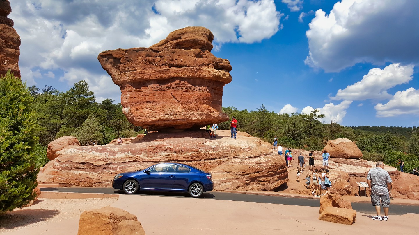
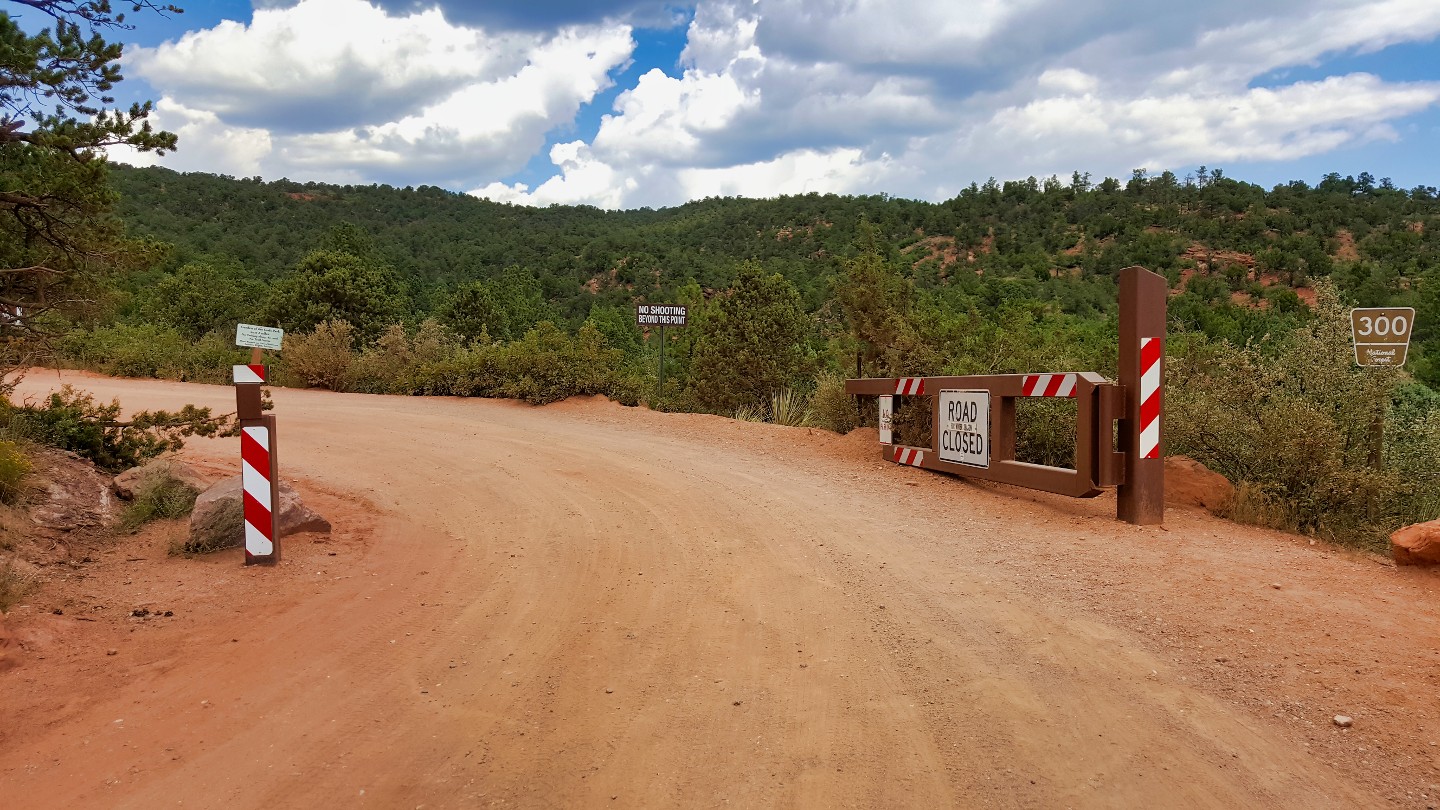
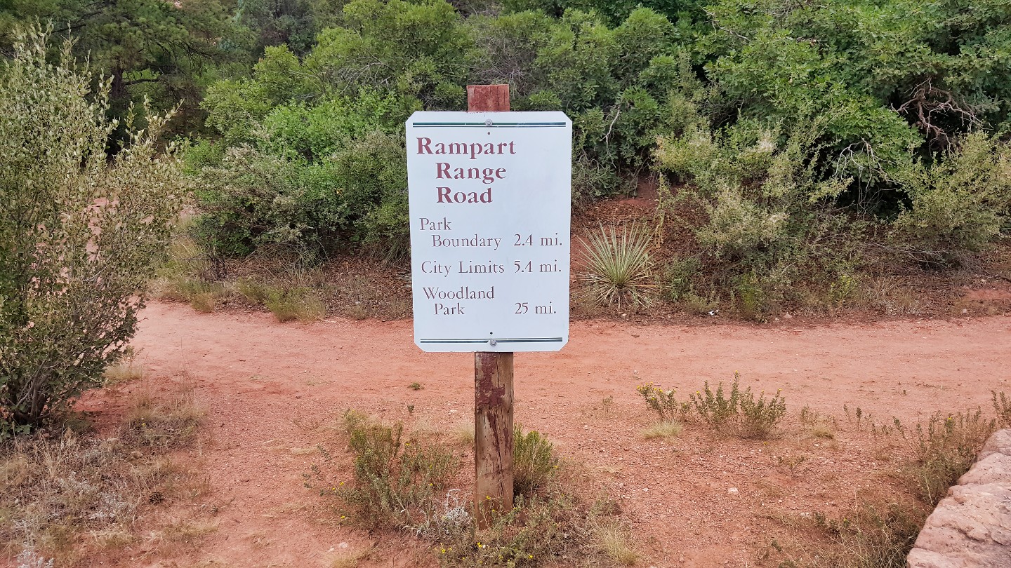
Enter Garden of the Gods from the southern entrance and the towering Balanced Rock will catch your eye as you get closer to the trailhead. A bit further ahead, you'll see a clear turn-off on the side of the road with a gate marking the start of Rampart Range Road. The Garden of the Gods Park is open year-round from 5:00 AM to 10:00 PM, and there is no fee to simply drive around within the park.
Garden of the Gods is a local park in Colorado Springs known for its stunning red rock formations, a few over 300 feet tall. The land was donated to the city in 1909 by the children of Charles Elliott Perkins, who had purchased it years earlier. Today, it's a popular destination for outdoor enthusiasts, hikers, and rock climbers. The new Visitor and Nature Center, offers educational exhibits and guided tours and is a great place to stop before hitting the trail.
- After hours, you can only enter and exit Rampart Range Road from this southern entrance to the park. The gate that closes the park after hours is visible from this trailhead but does not block the trail itself.
2. Private Road (1.5 mi)
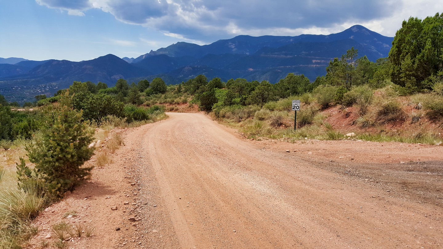
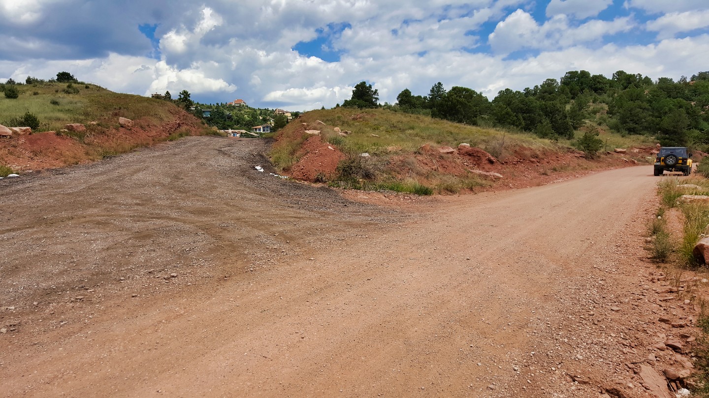
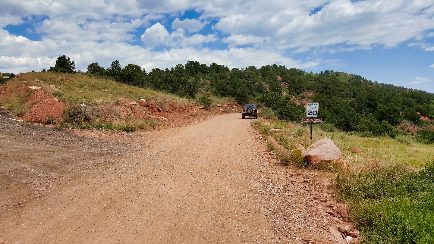
Continue past this private road. It is usually gated closed, but it can cause confusion if it is not.
3. Forest Begins (2.4 mi)
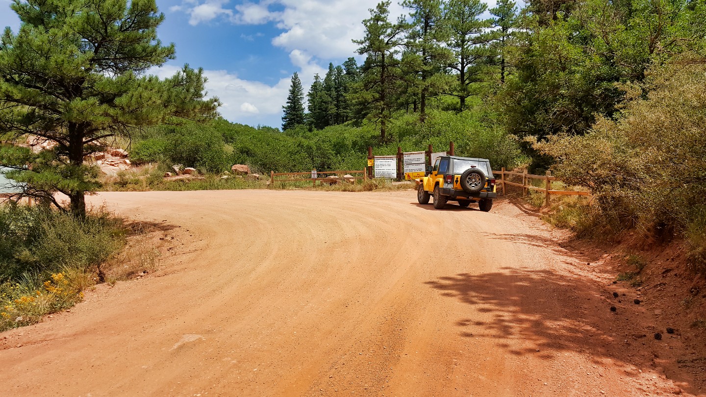
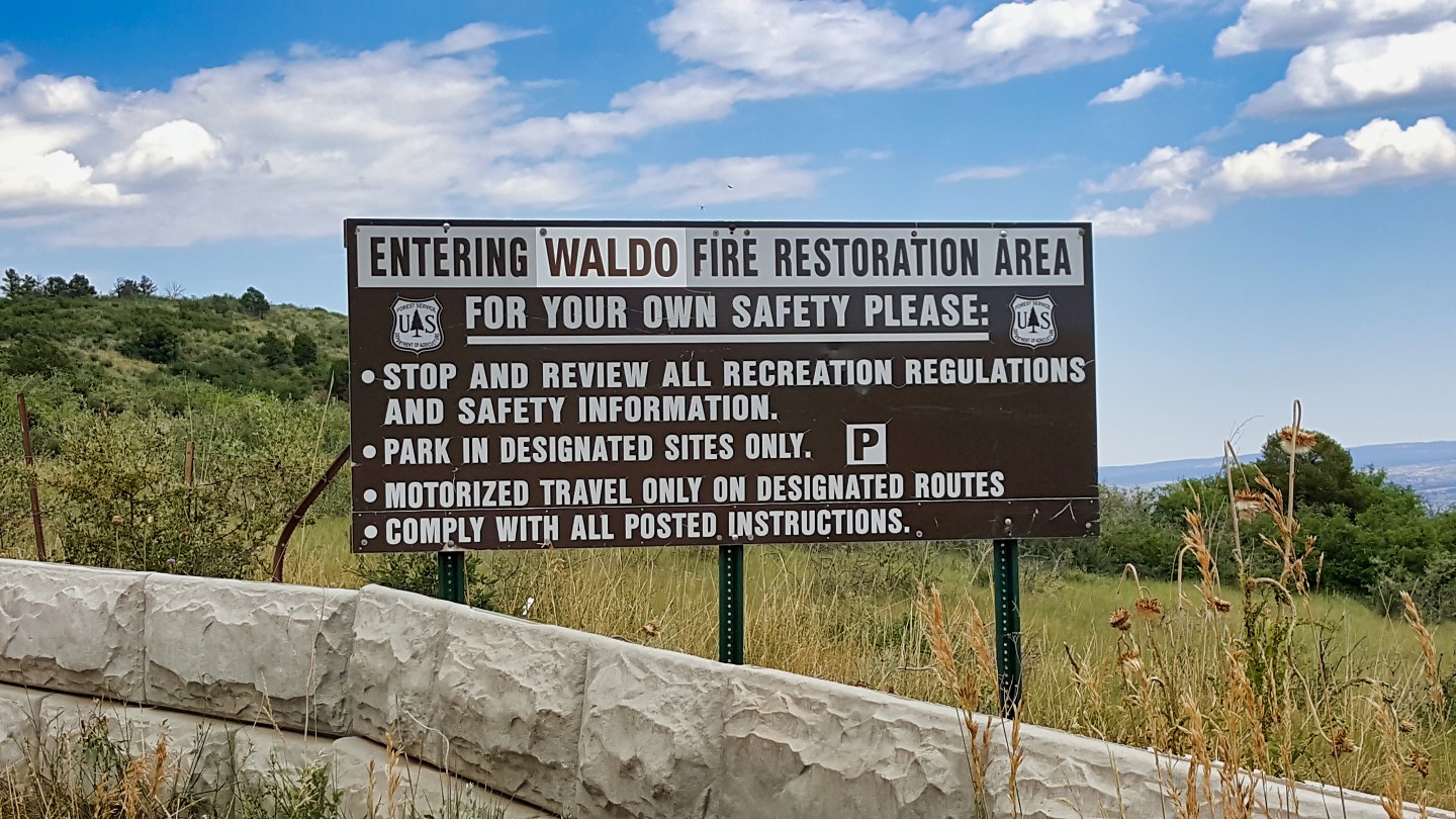
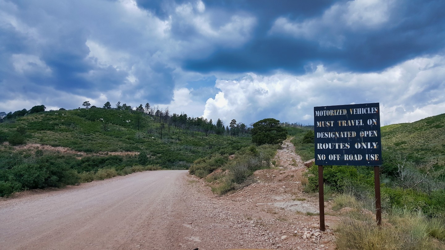
On this curve, signs mark the beginning of the forest as you pass out of the Garden of the Gods. These signs are there to indicate any special notices for the area. Please stop by and see if you should be aware of anything, including closures.
Beyond the signs, the devastating effects of the Waldo Canyon Fire, which ravaged the area in 2012, are visible. The wildfire consumed more than 18,000 acres of land, requiring the deployment of over 1,500 firefighters, 70 firetrucks, and air support to control it. Tragically, the fire caused nearly half a billion dollars in damages to homes and businesses, making it the most destructive fire in Colorado's history.
As you continue along Rampart Range Road, you'll see evidence of the fire's impact on the landscape. Burned trees and scorched earth are sad reminders of the wildfire's ferocity. Despite the damage, however, the area is slowly recovering, with new growth beginning to emerge and wildlife returning to the region.
4. Scenic Overlook (7.3 mi)
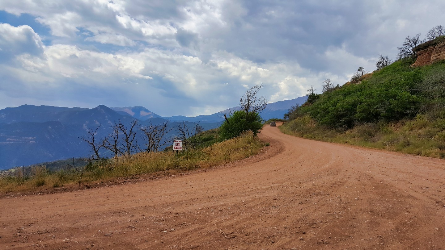
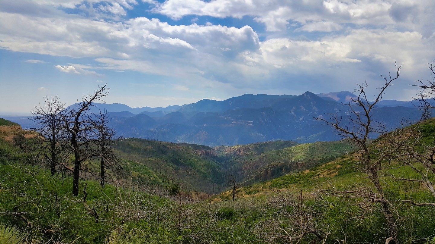
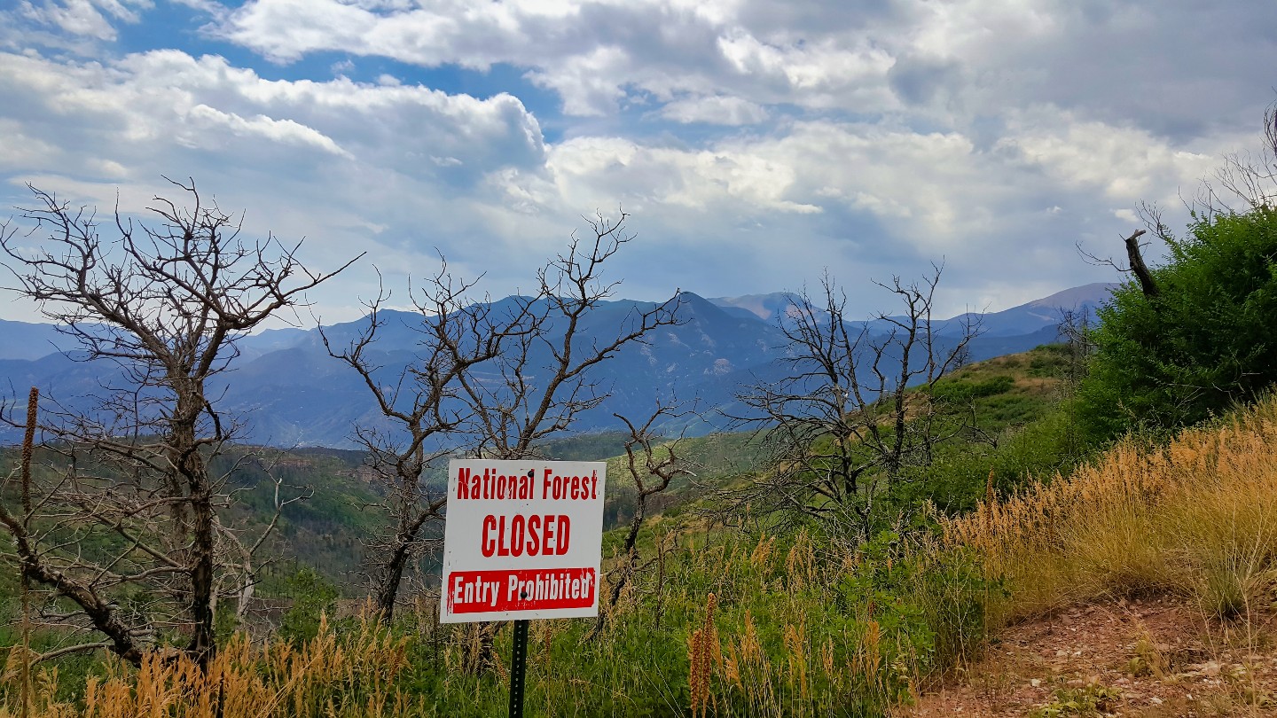
The pullout offers a scenic overview of Colorado Springs and Manitou Springs. Be careful where you go. The area is under recovery protection from the 2012 fire and is regrowing. A few of the walking trails have been reopened, but many restrictions remain.
5. Pike's Peak Scenic Overlook (11.4 mi)
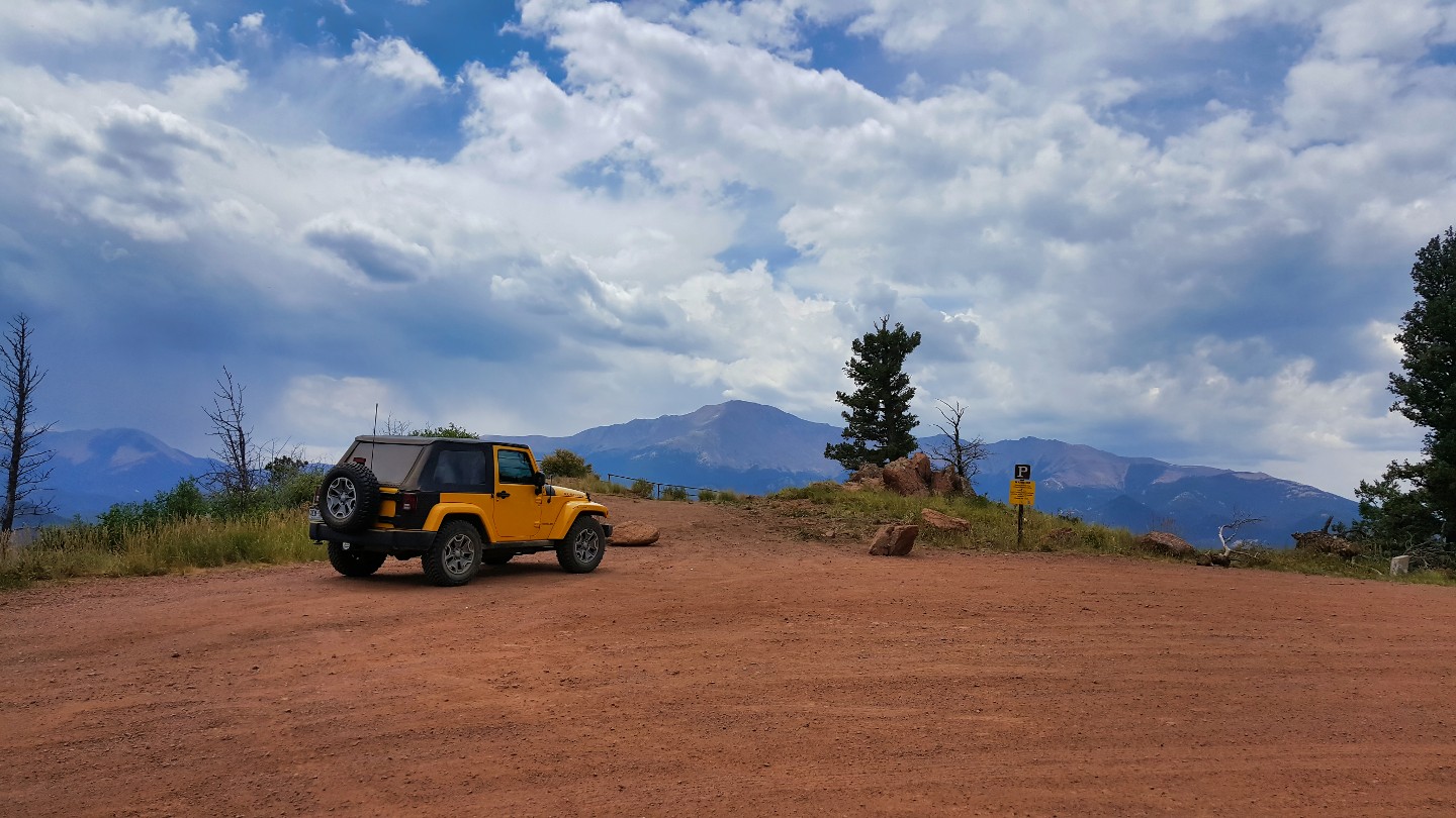
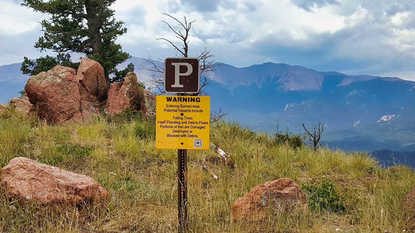
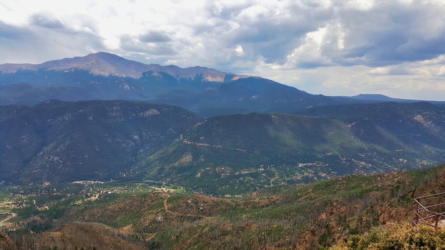
This scenic overlook is a short distance from Pike's Peak, giving spectacular views of the mountain.
6. Scenic Overlook & CCC Marker (11.8 mi)
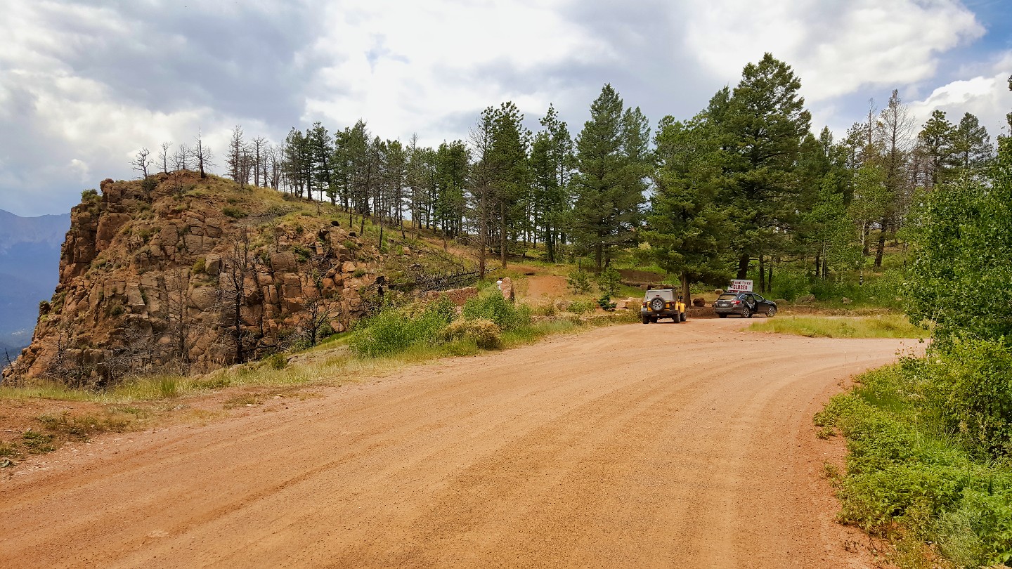
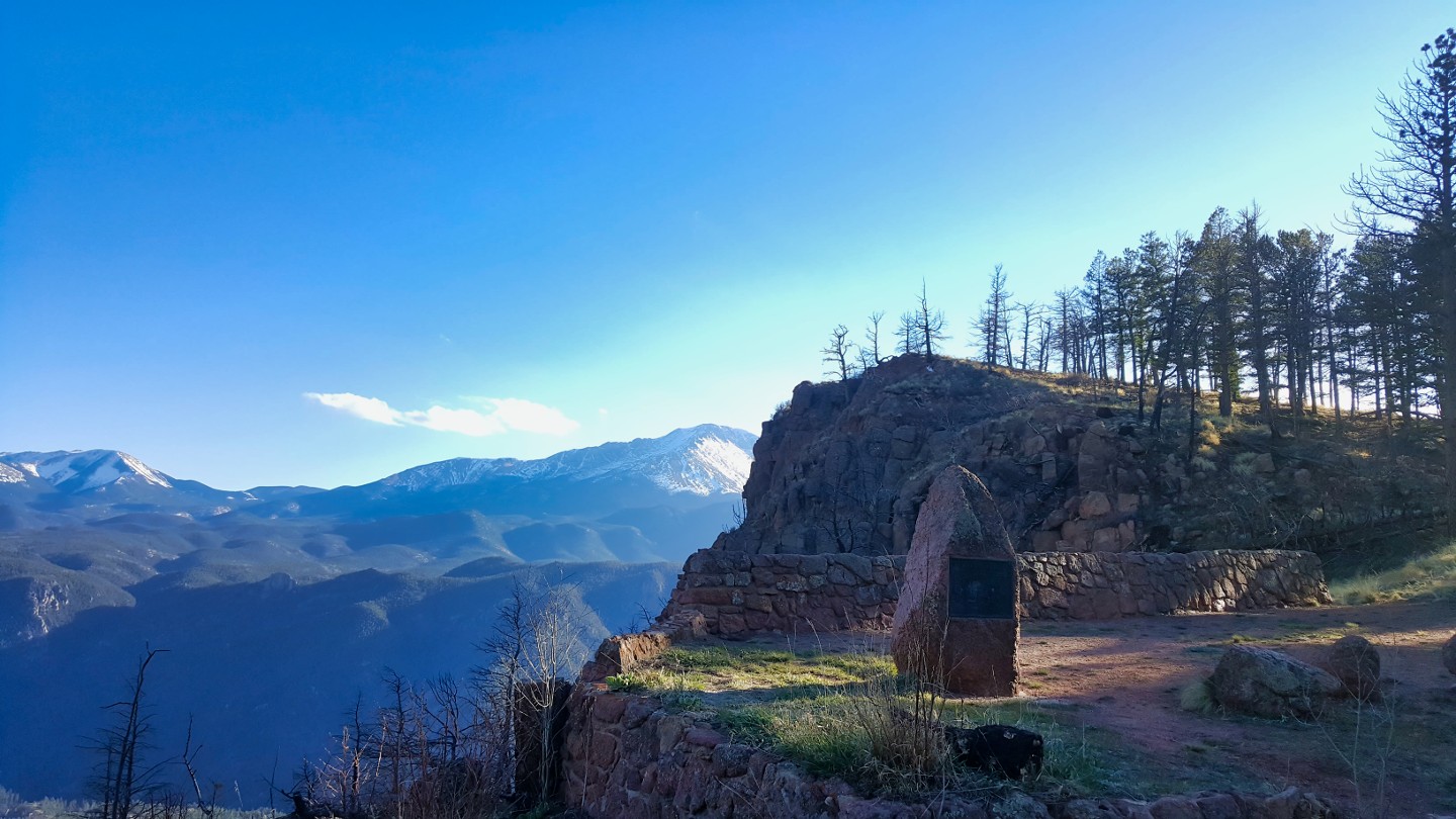
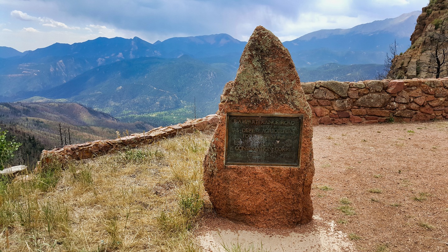
This marked parking area was once a picnic spot with amenities, but time has taken its toll, leaving little behind. The site receives maintenance but is largely neglected, with loose rocks posing hazards. Use caution while walking around.
Rampart Range was once part of an enormous expanse of forest that covered much of Colorado. However, in the early 20th century, logging companies exploited the area for its abundant timber resources, leading to widespread deforestation. By the 1930s, the effects of deforestation were apparent, with soil erosion, flooding, and other environmental problems on the rise.
In response to these issues, President Franklin D. Roosevelt established the Civilian Conservation Corps (CCC) in 1933. The CCC was a work relief program that employed young men to carry out conservation projects across the United States. In Colorado, the CCC was tasked with reforesting Rampart Range and other areas decimated by logging and other destructive activities.
The CCC erected two markers to immortalize their work along Rampart Range Road; only the base of this one remains. These markers, made of stone and bearing the CCC's distinctive logo, were a testament to the organization's efforts to restore the region's natural beauty.
7. Lake Circle Drive (Rampart Reservior) (17 mi)
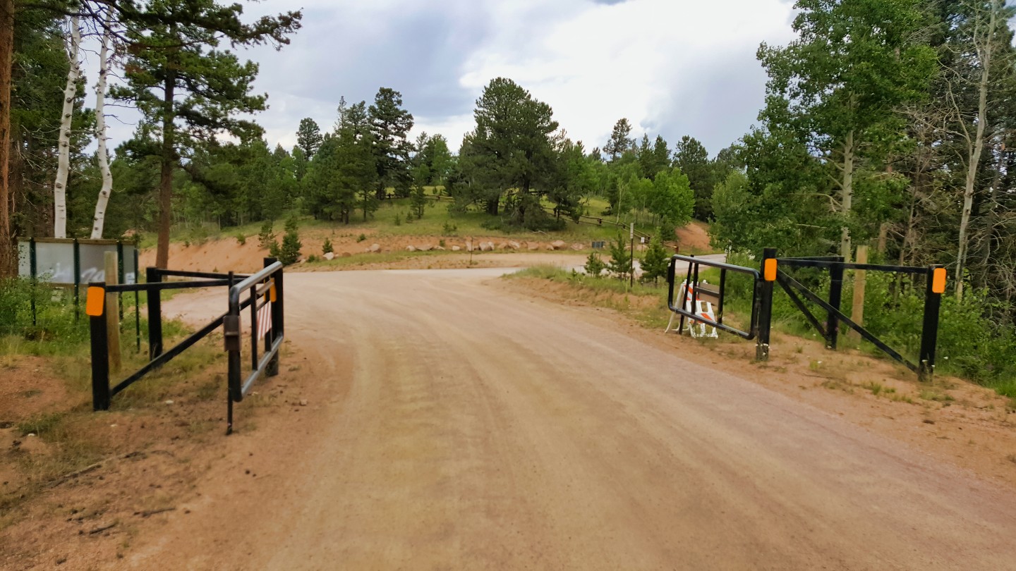
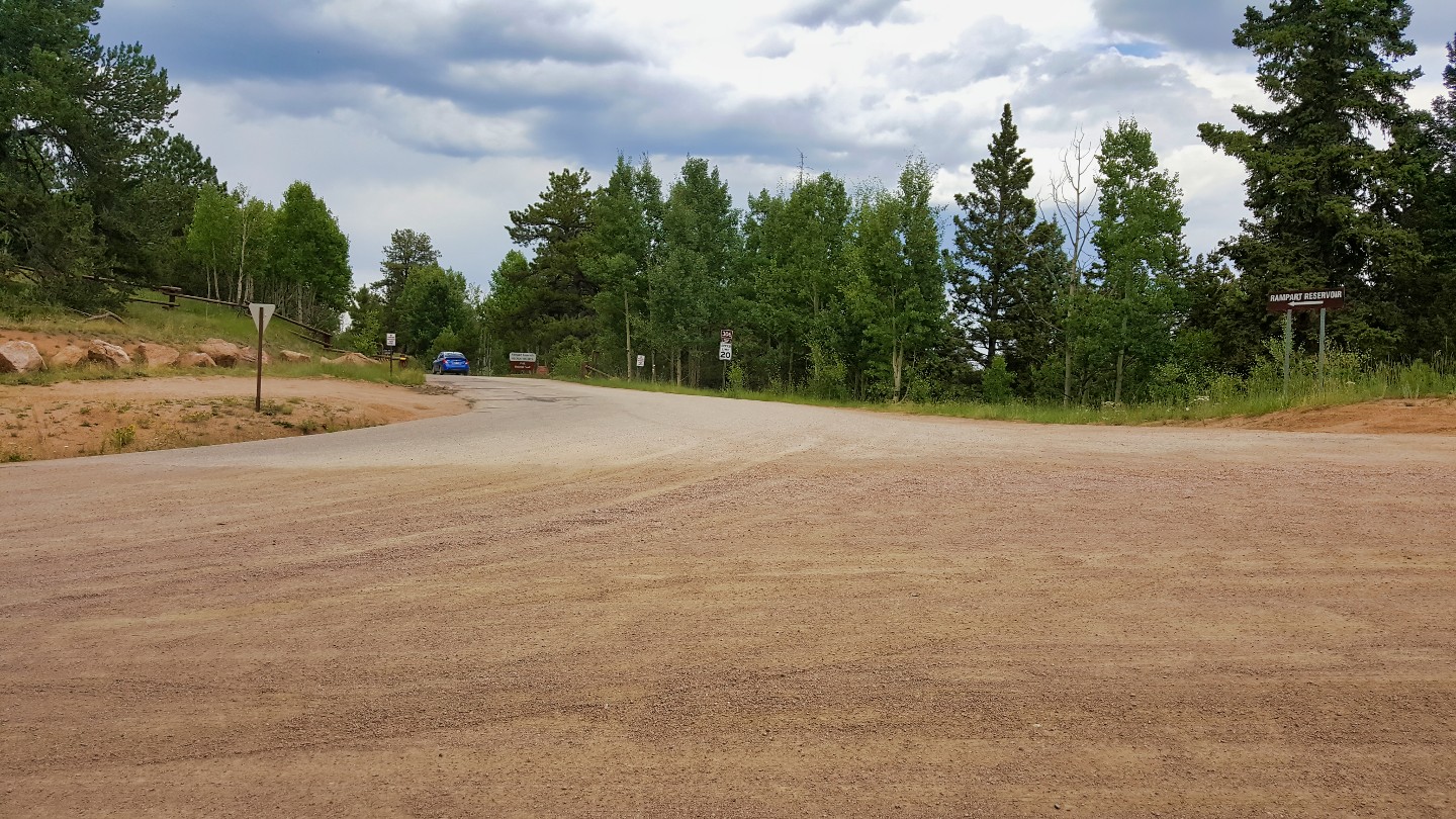
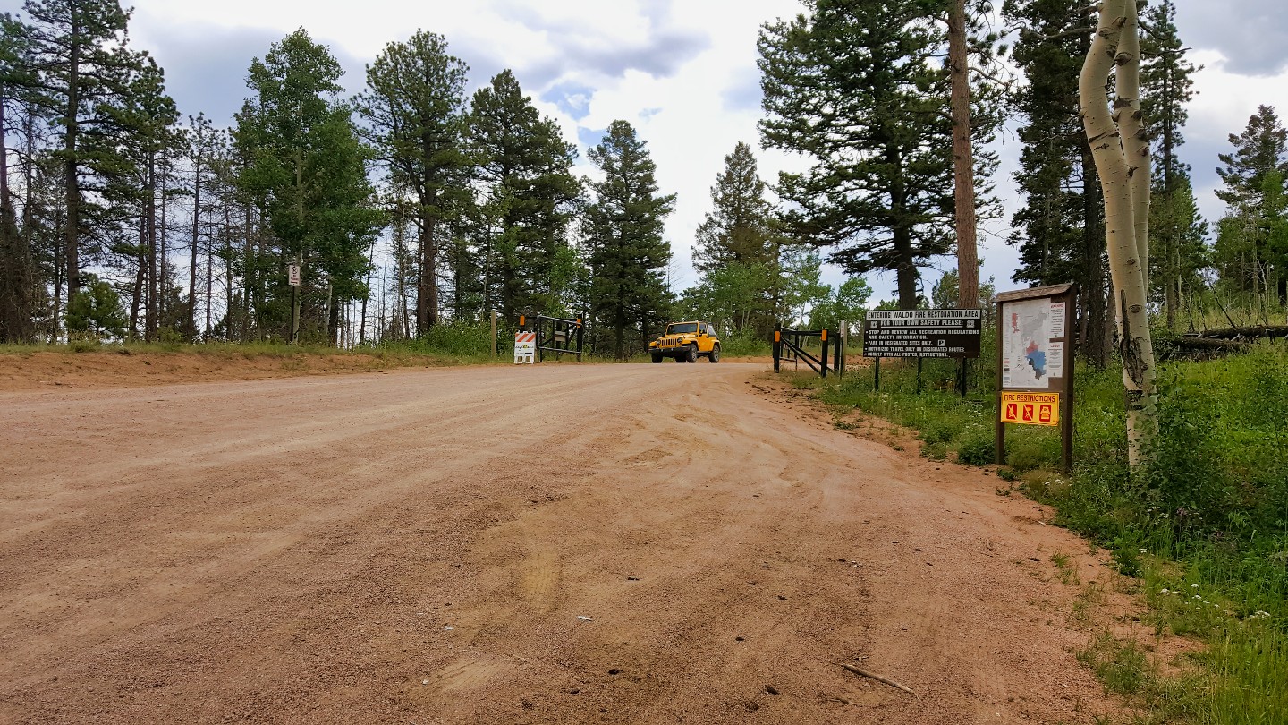
To stay on Rampart Range, stay straight on the dirt road. If you take Lake Circle Drive, you'll reach Rampart Range Reservoir, a must-visit spot for a relaxing day. Fishing and boating opportunities abound, and two designated campgrounds exist, Meadow Ridge and Thunder Ridge. This popular destination requires $6 per vehicle to enter
8. Angler Parking Lot (18.6 mi)
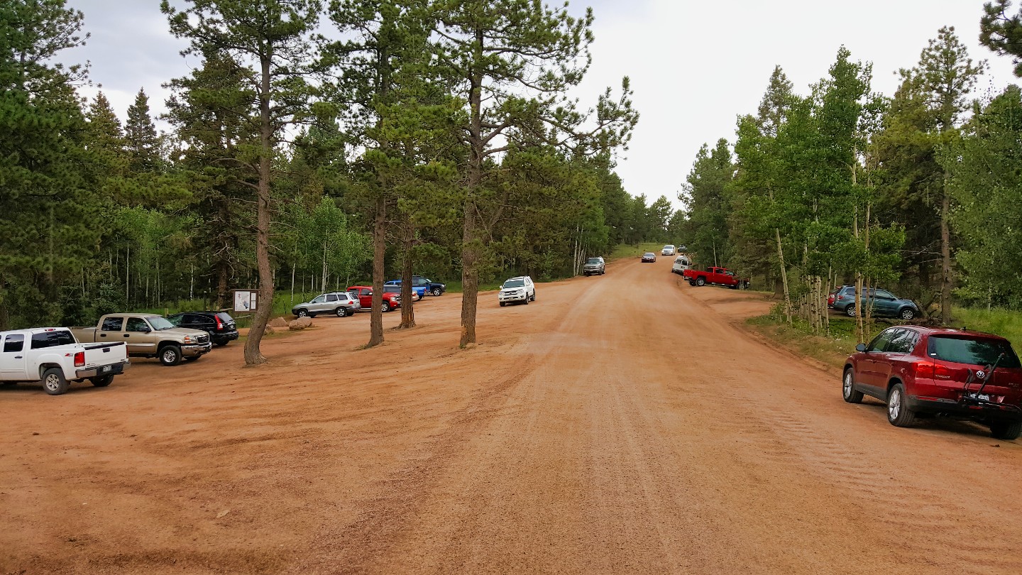
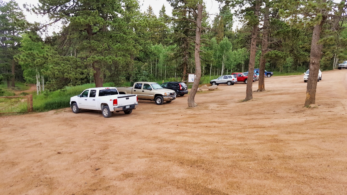
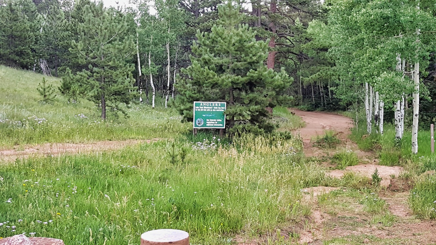
This parking lot is for anglers looking to walk out to Rampart Reservoir. Fishermen find a variety of fish species, including rainbow trout, brown trout, cutthroat trout, and kokanee salmon. The reservoir is regularly stocked with fish, and fishing is permitted year-round with a valid Colorado fishing license. The reservoir also has boat ramps for those who wish to fish from a boat. Additionally, the nearby Rampart Range Recreation Area has streams and lakes that offer opportunities for fly fishing.
9. Springdale Campground (20.2 mi)
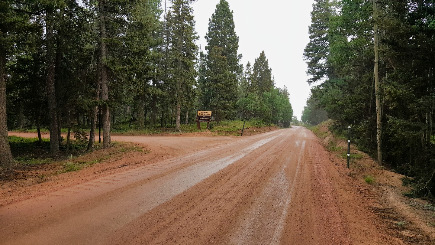
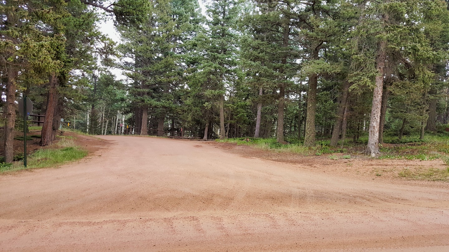
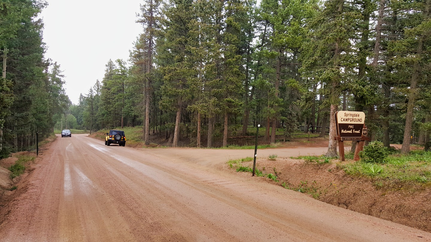
Springdale Campground is a first come, first serve campground that is fee-based. It features 17 campsites surrounded by forest, with amenities including restrooms, picnic tables, fire rings, and potable water. The campground is ideal for those looking to enjoy nature, with nearby hiking trails and fishing spots.
10. Schubarth Road (22.5 mi)
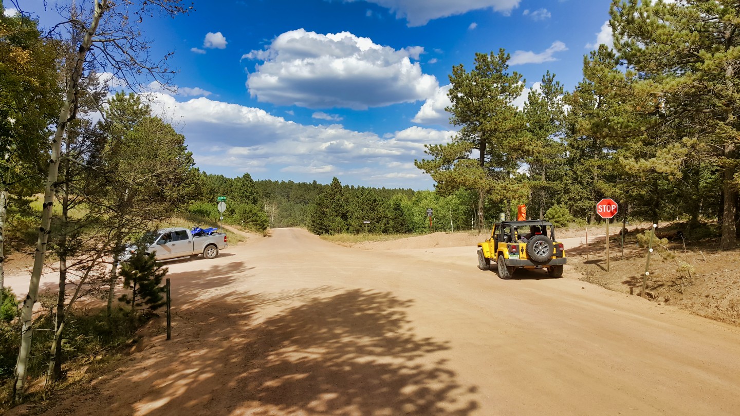
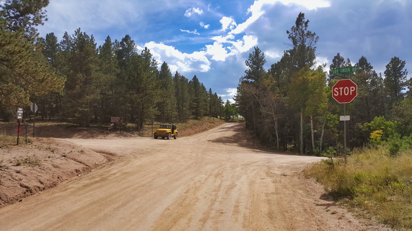
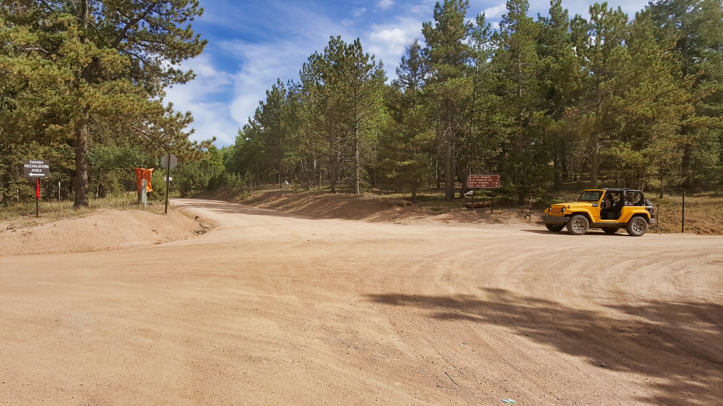
Despite the smooth entrance Schubarth Road turns into a moderate trail a short distance in.
11. Loy Creek Road (22.7 mi)
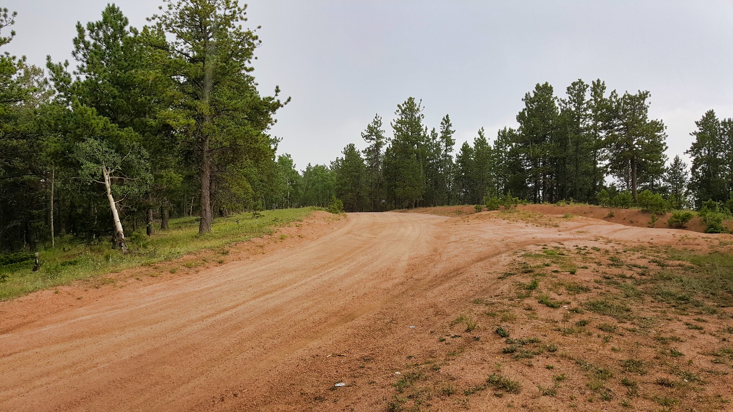
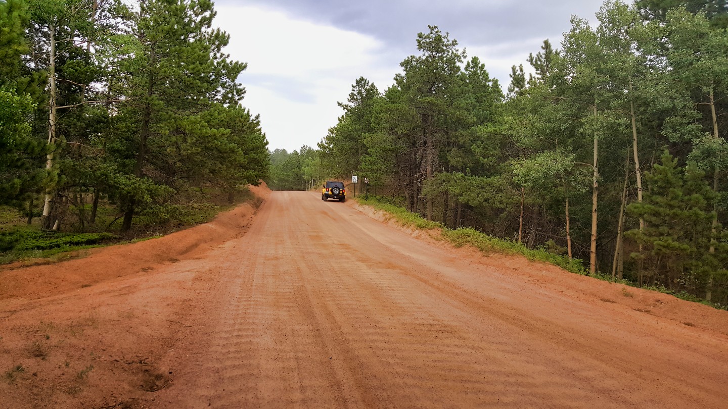
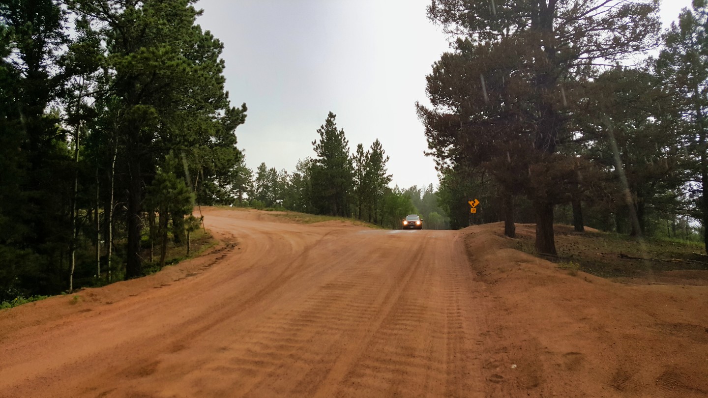
This intersection can be confusing with inadequate signage, so follow the dirt road. You've gone the wrong way if you end up on a paved road. Sticking to the pavement will lead you to the Rampart Range residential area, which leads out to Woodland Park and Route 24. During winter, Loy Creek Road and Mount Herman Road are the only two entryways to the open parts of Rampart Range.
12. Beaver Creek Road (22.04 mi)
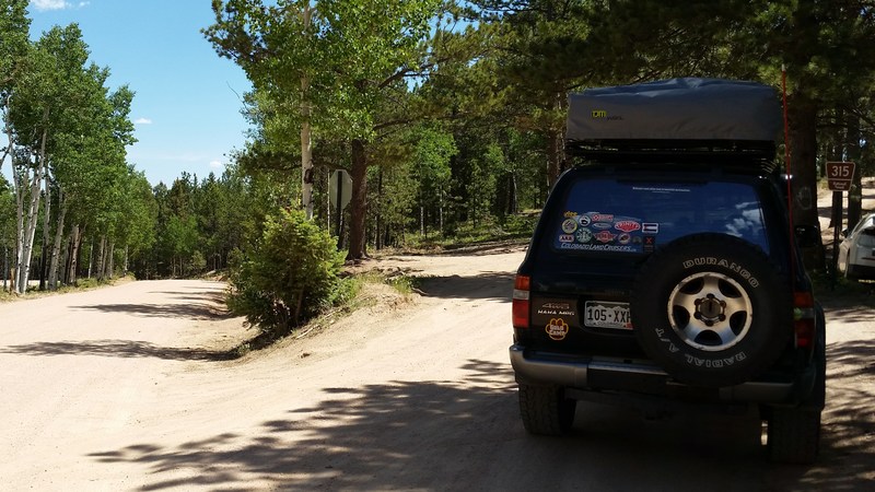
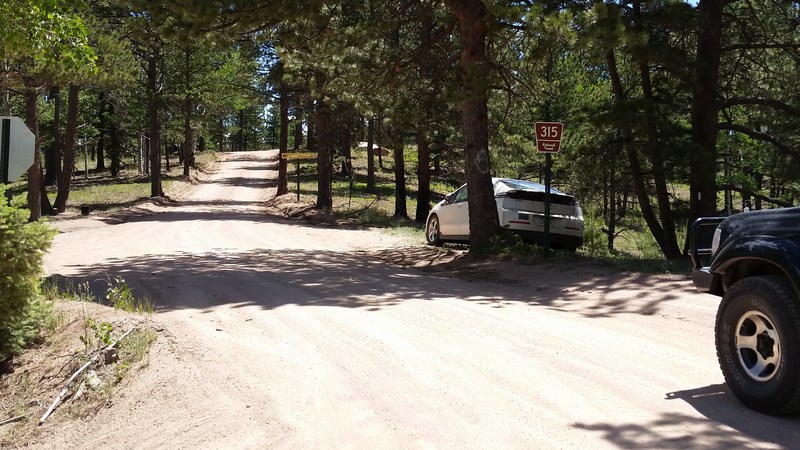
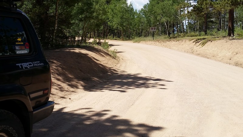
To the east is Beaver Creek which will loop back to Mount Herman Road.
13. Farish Memorial Road (21.65 mi)
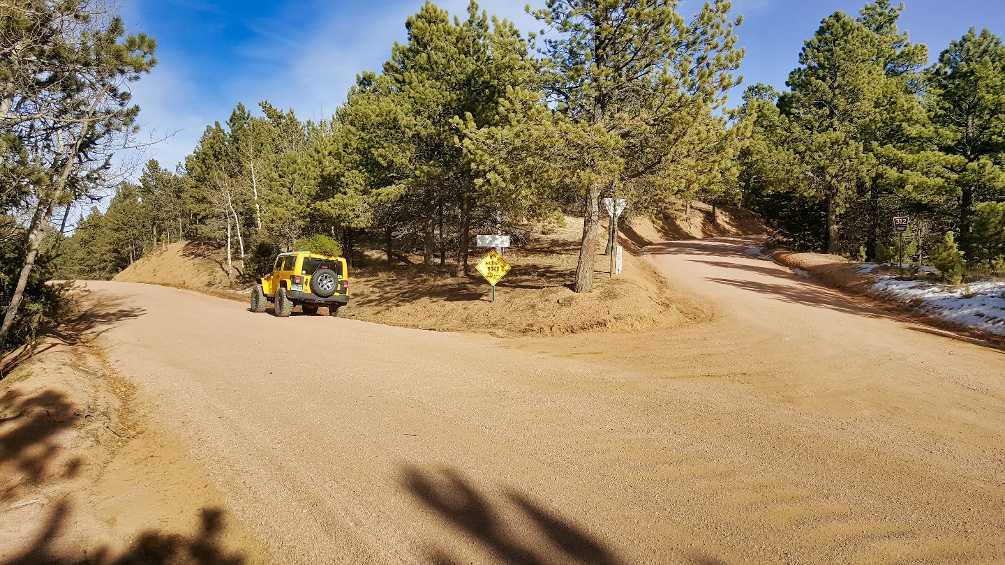
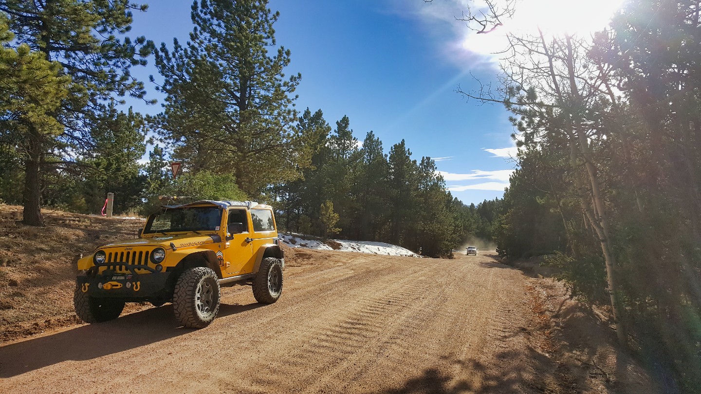
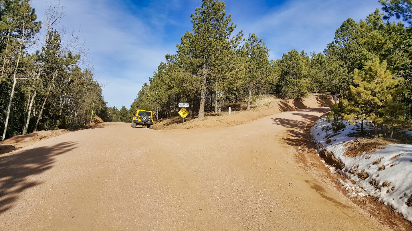
Farish Recreation Area, spanning 655 acres at 9,000 feet in the Pike National Forest, just a few miles from Woodland Park. Managed by the U.S. Air Force Academy, this picturesque retreat is not accessible to the general public. However, it welcomes active-duty military personnel, retirees, Department of Defense personnel, non-appropriated fund employees, Reserve and National Guard members, and their families.
14. Mount Herman Road (23.94 mi)
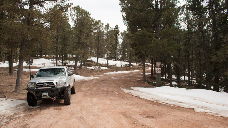
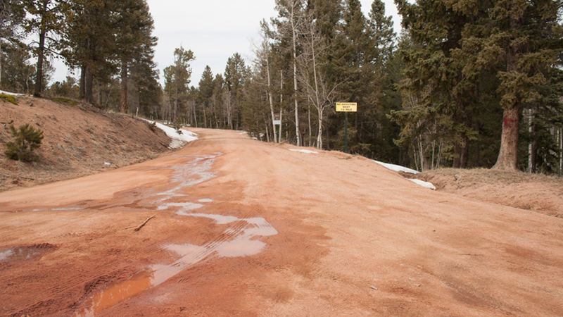
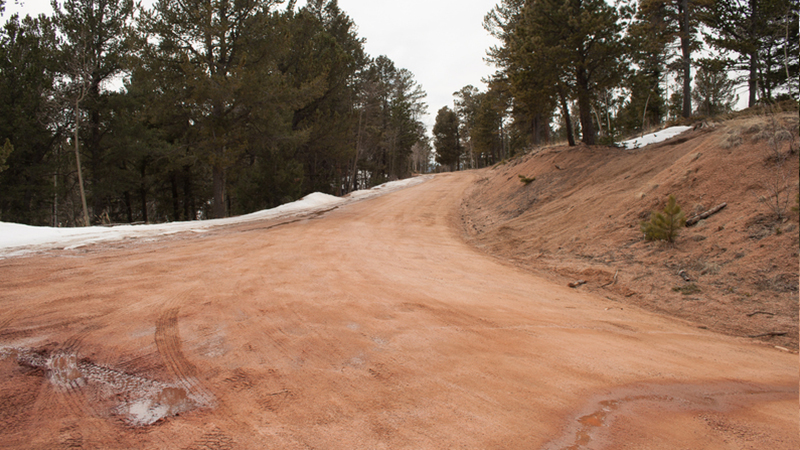
Mount Herman Road is on the east side of the road and well marked. The easy trail leads back to Monument and Route 25.
15. Balanced Rock Road (27.8 mi)
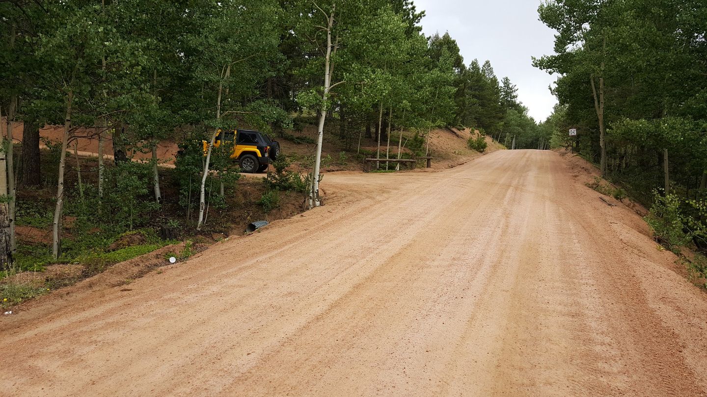
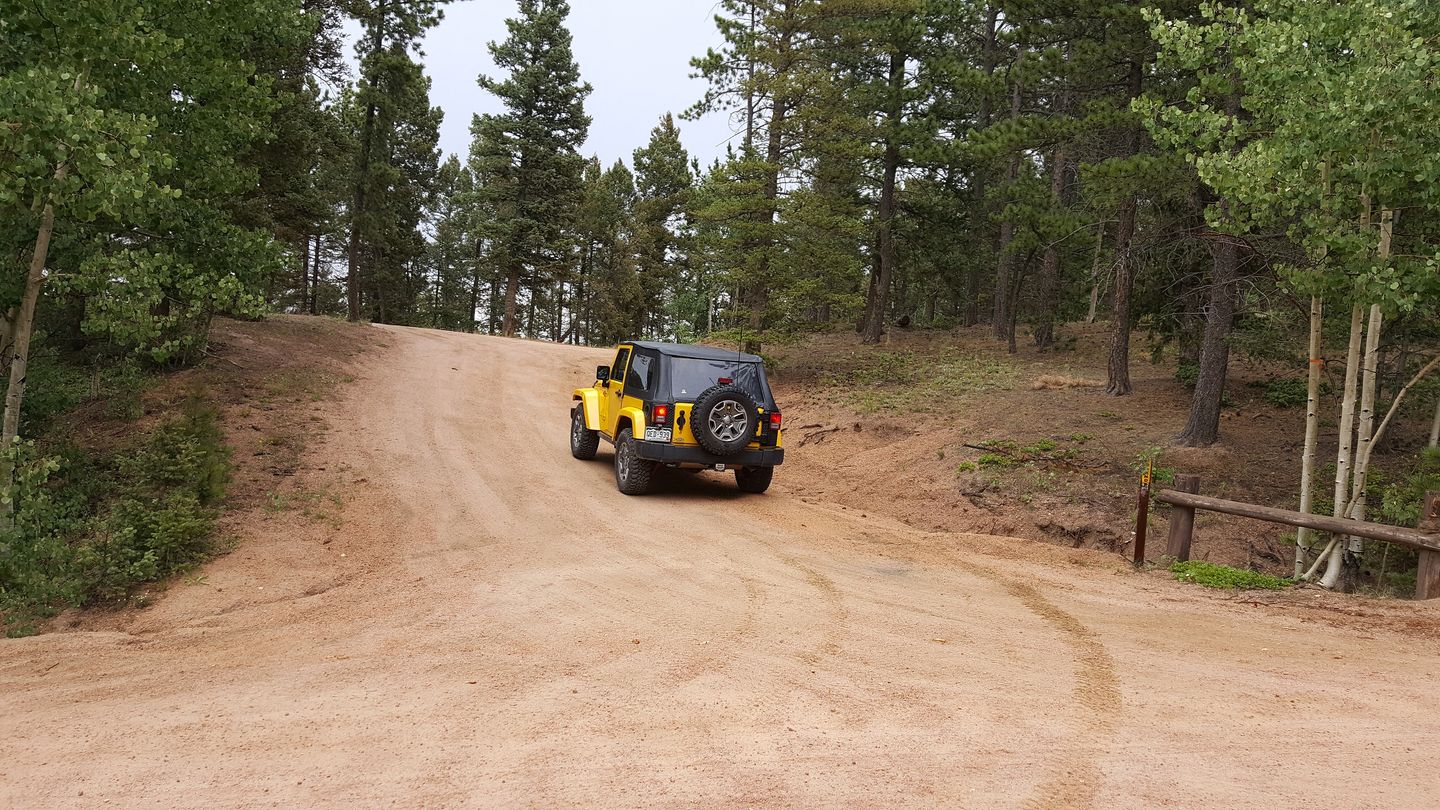
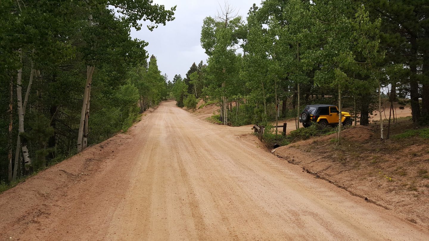
The entrance to Balanced Rock Road is on the east side of the road.
17. Hotel Gulch (28.8 mi)
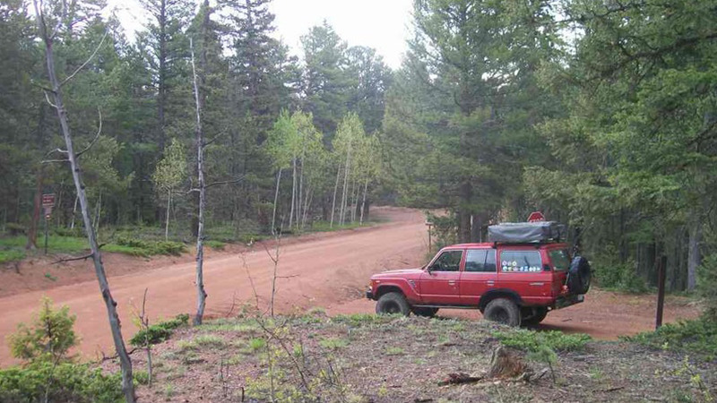
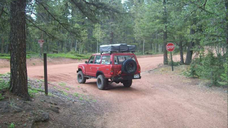
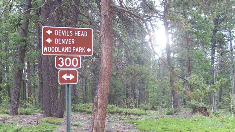
Hotel Gulch is on the west side of the road and connects back to Route 67.
.
19. Seasonal Gate (38.9 mi)
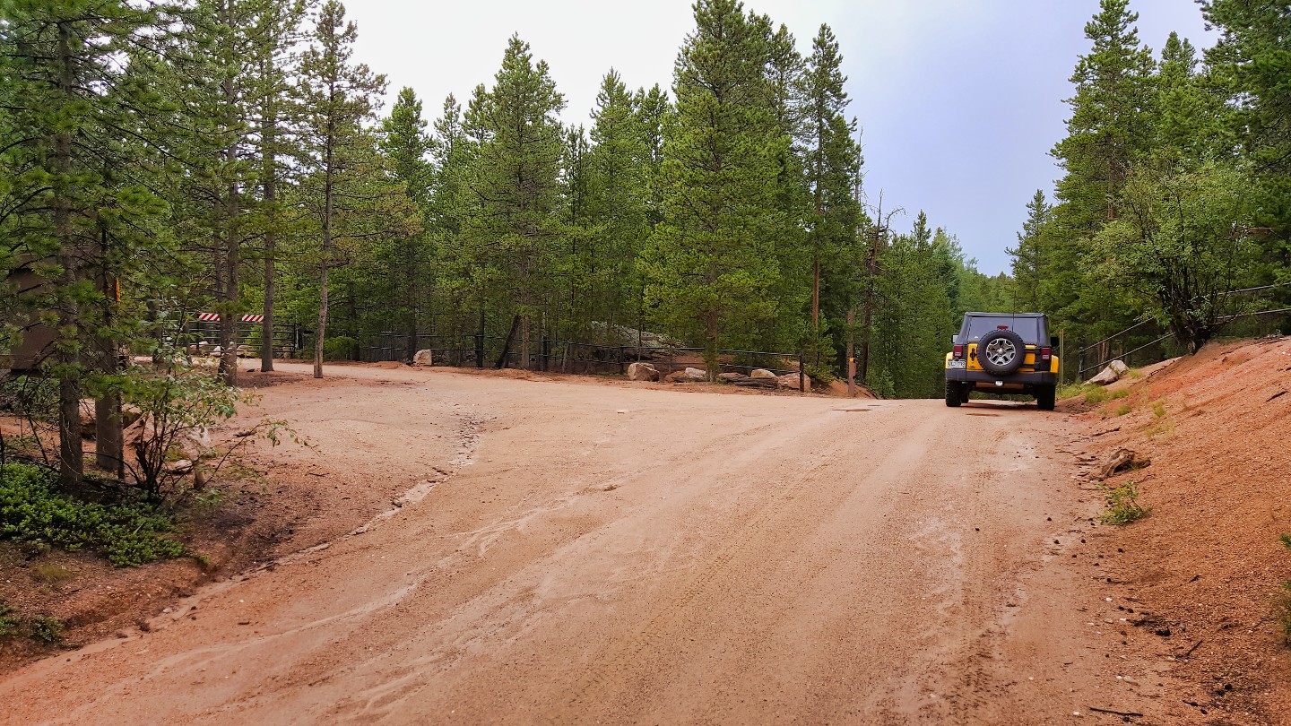
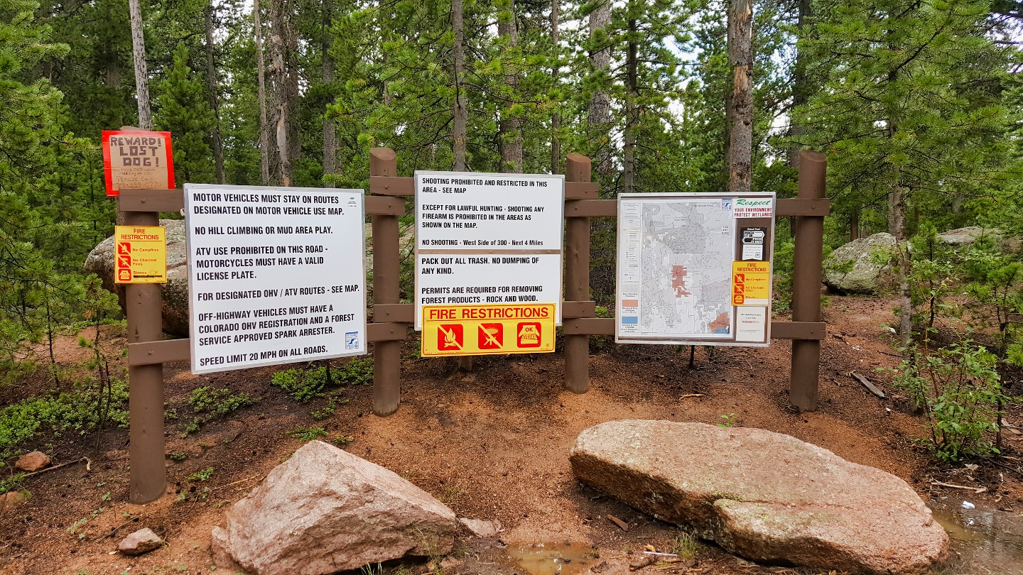
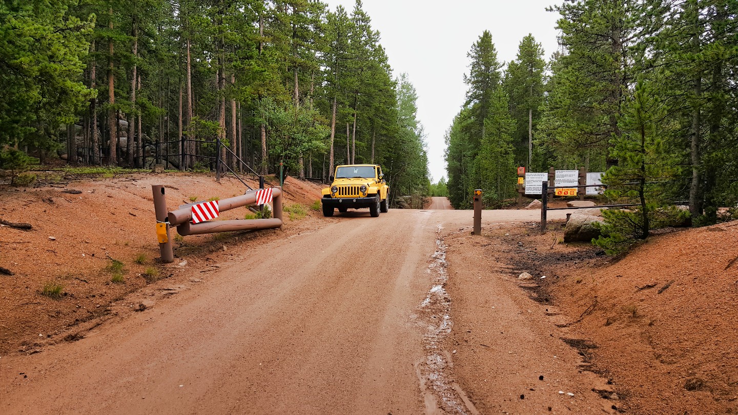
This is the northern gate for seasonal mud closures. Rampart Range Road and many of the trails in the area are prone to seasonal mud closures, typically occurring in early spring (March-April) and late fall (October-November) when the ground is wet and muddy. During these times, the trails can become very slick and dangerous, causing damage to the natural environment and making it difficult for vehicles to pass. The closures are put in place by the US Forest Service to protect the area and ensure that it remains accessible for future generations.
20. Dakan Mountain Road (47.6 mi)
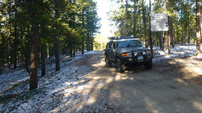
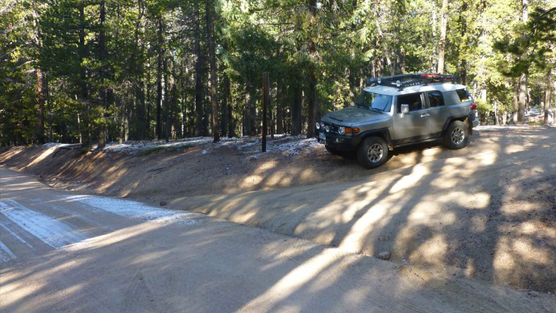
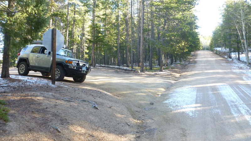
Dakan Mountain (Dakan Road) is on the eastern side of the road and leads out towards Perry Park (Route 105) and Castle Rock.
21. Long Hollow Road (45.8 mi)
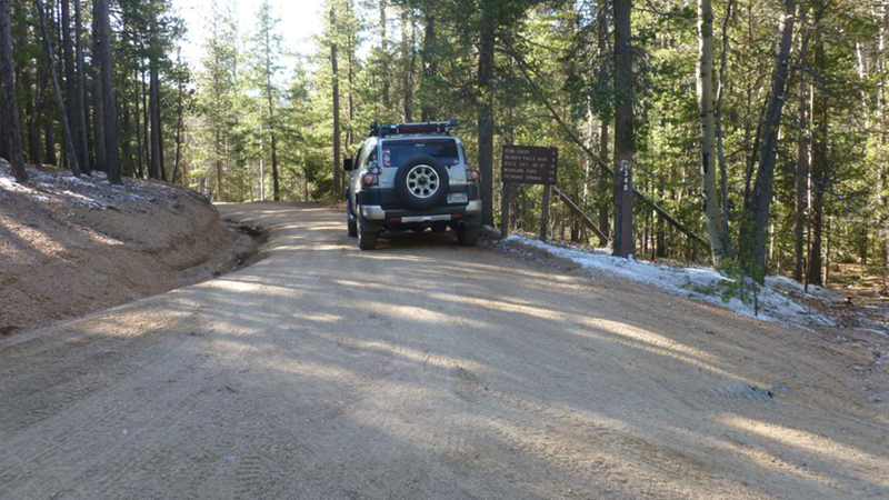
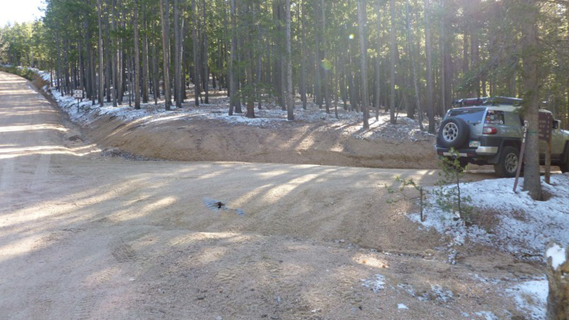
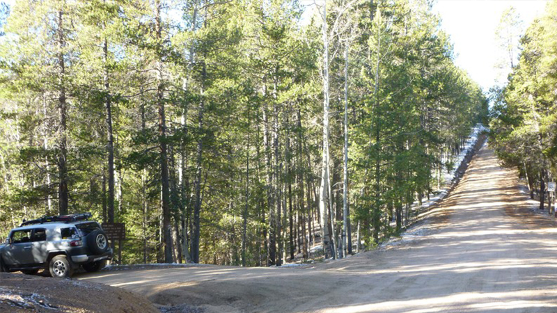
Long Hollow Road is on the southern side of the road. The trail leads back to the Rainbow Falls area and Route 67.
.
22. Upper Jackson Creek (46.3 mi)
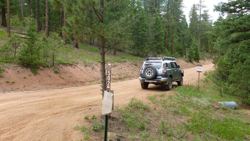
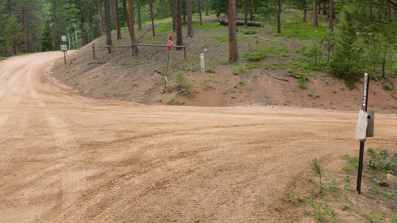
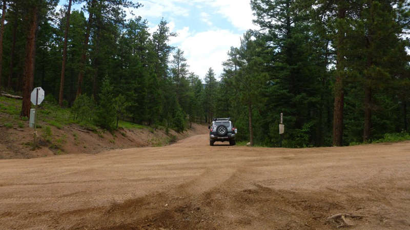
Upper Jackson Creek is on the northeast side of the road and connects to Dakan Road and back towards Perry Park Road (Route 105) and Castle Rock.
23. Topaz Point Picnic Area (49 mi)
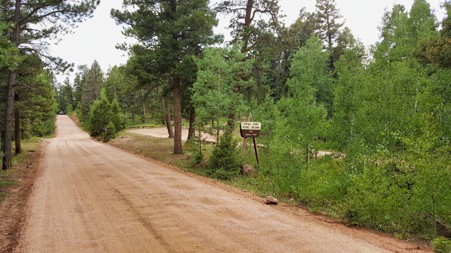
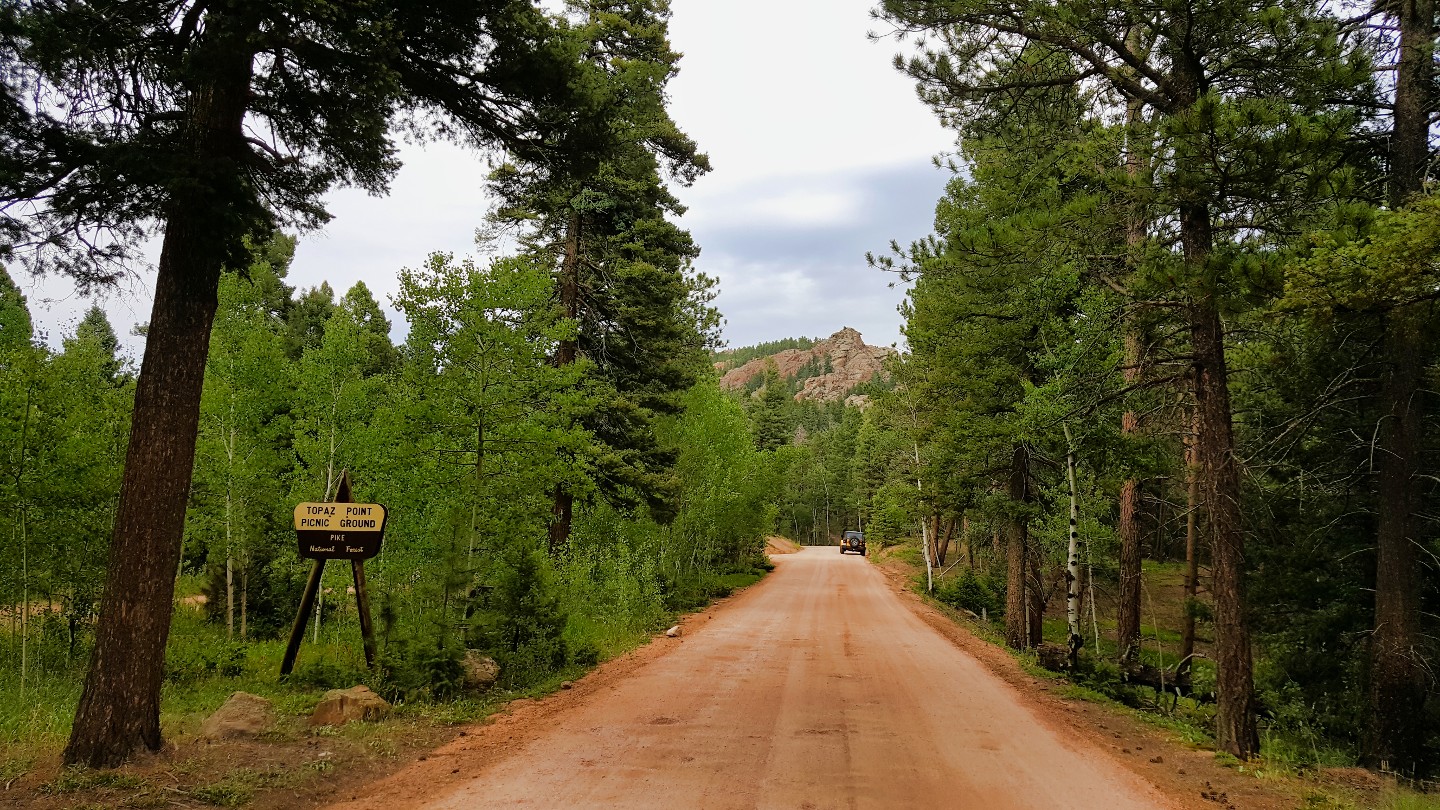
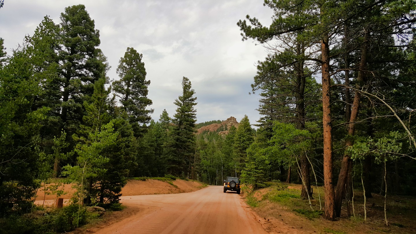
This is a large picnic area on the west side of the road with a single parking lane. Frankly, this is an odd place to stop for lunch. You cannot park here and leave your vehicle; it only has a few benches and tables.
24. Devil's Head (51.2 mi)
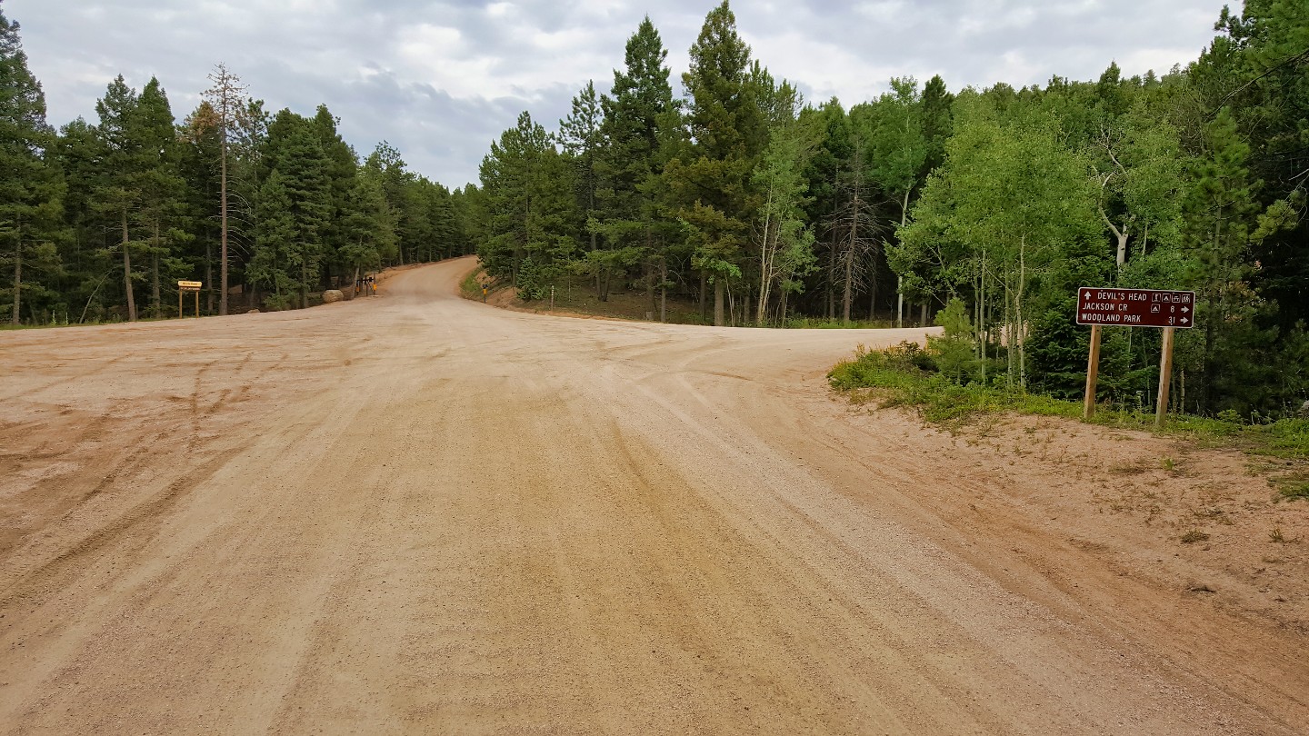
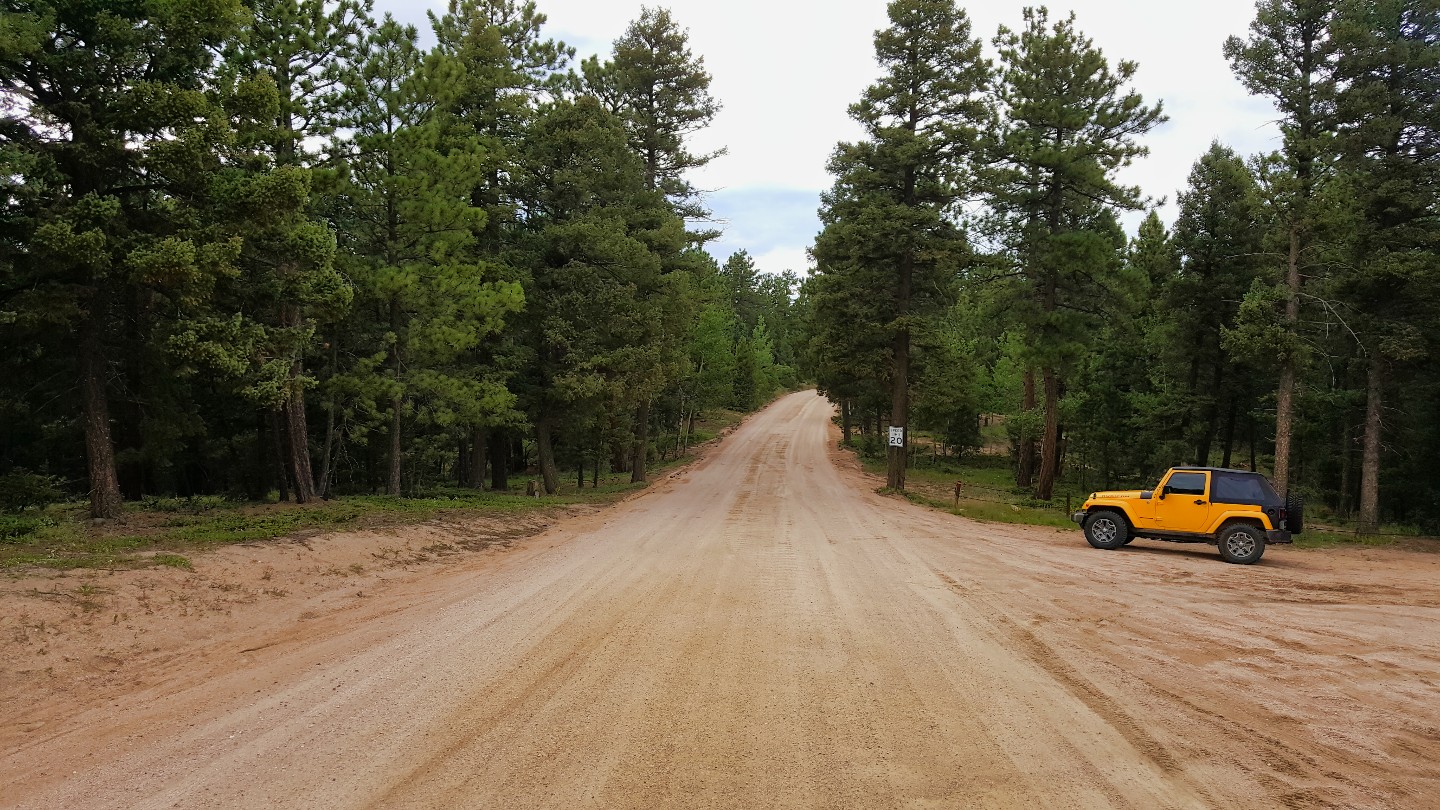
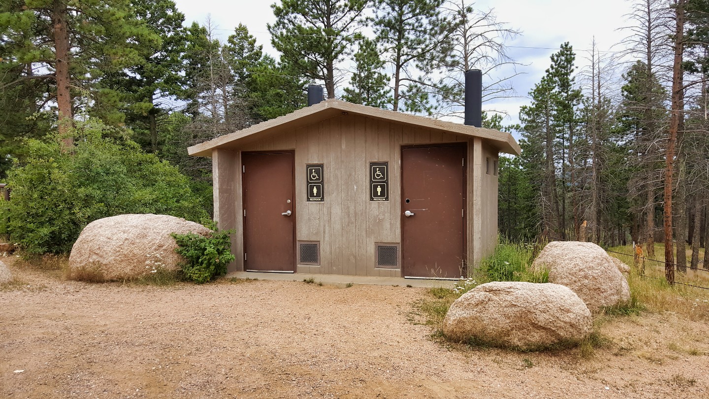
The Devil's Head entrance is on the east side of the road here. Devil's Head Mountain is a prominent peak in the Rampart Range of the Colorado Front Range. At the top of the mountain is the Devil's Head Lookout, the last of seven original Front Range Lookout towers still in service. The tower was built in 1912, and in 1932 the current lookout building was erected. The lookout is listed on the National Historic Lookout Register.
The area offers 21 campsites with picnic tables, fire rings, and vault toilets. The sites are available on a first-come, first-served basis and can accommodate RVs up to 22 feet long. The campground is open from mid-May through mid-October, depending on weather conditions.
25. Flat Rocks Overlook (55.7 mi)
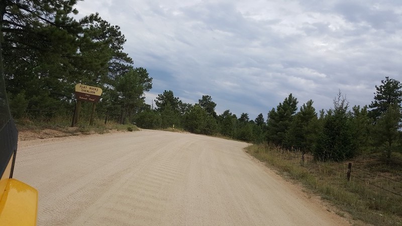
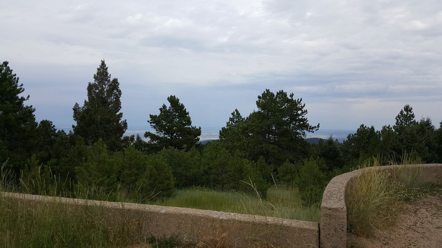
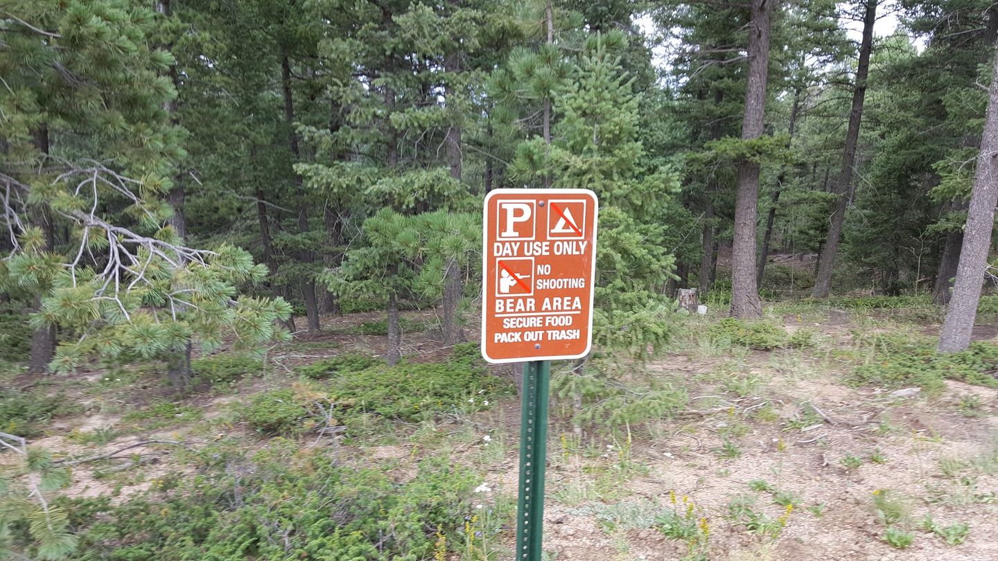
The Flat Rocks Overlook looks out towards Gott Mountain and Castle Rock.
26. Seasonal Gate & Parking Lot (60.2 mi)
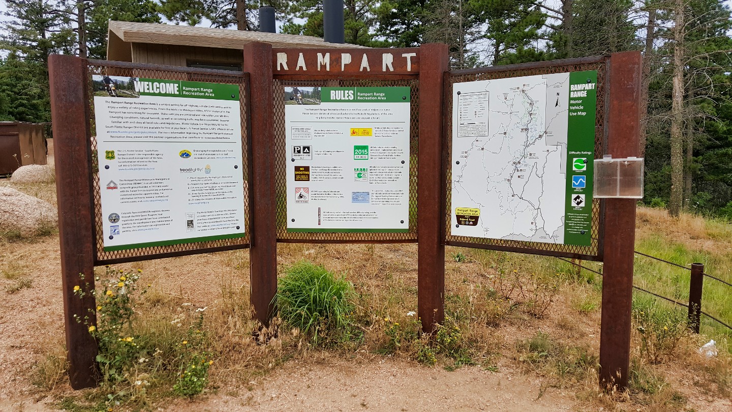
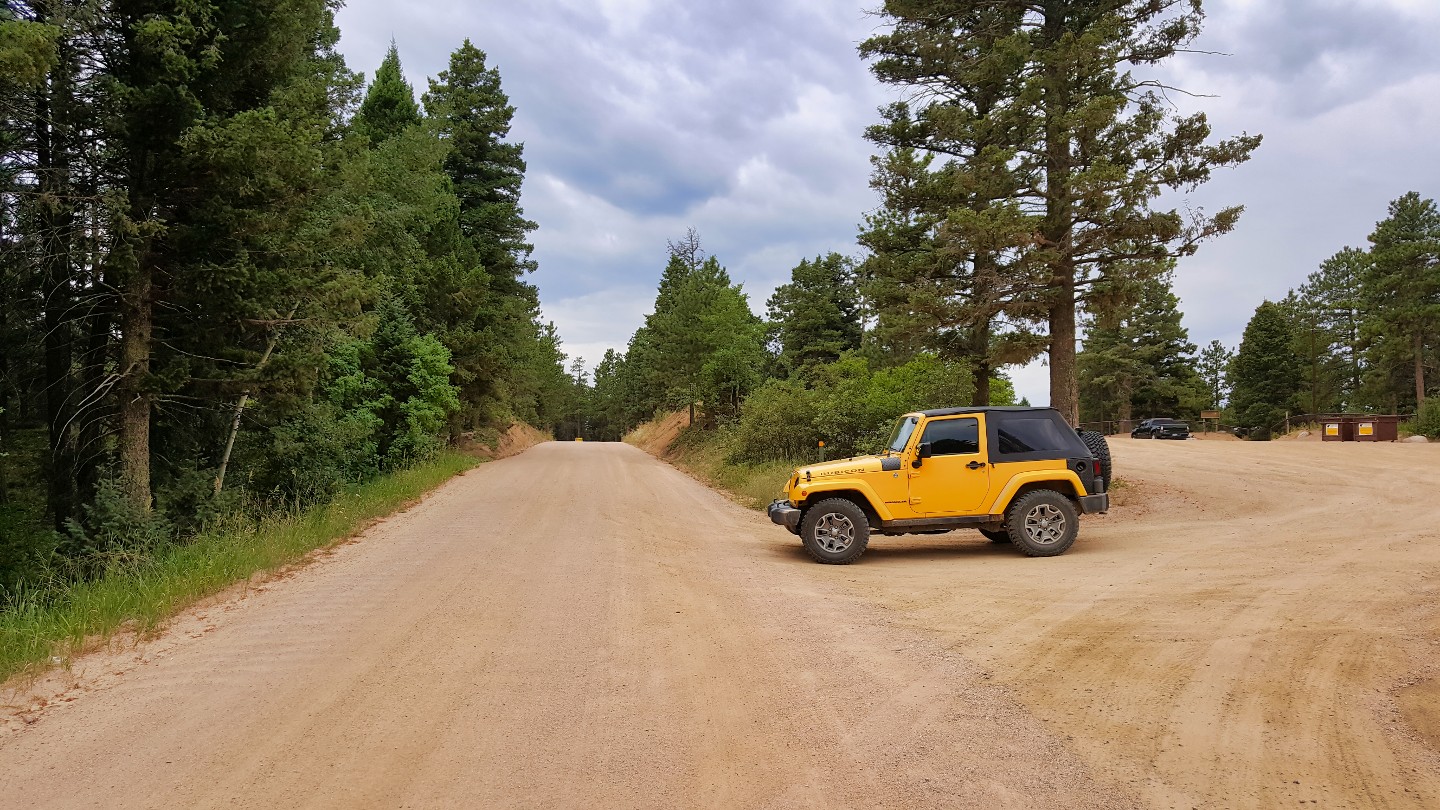
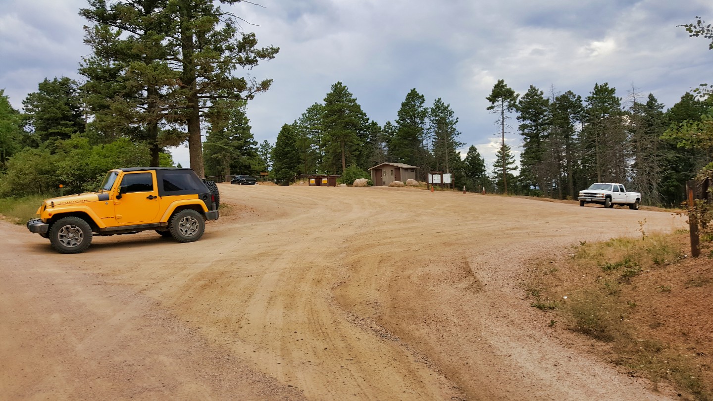
A sizable gate marks the Waypoint, and to the side, you'll find a parking lot complete with restrooms. This large staging area is a good finish or launch point.
27. Trail Ends - County Road 67 (60.4 mi)
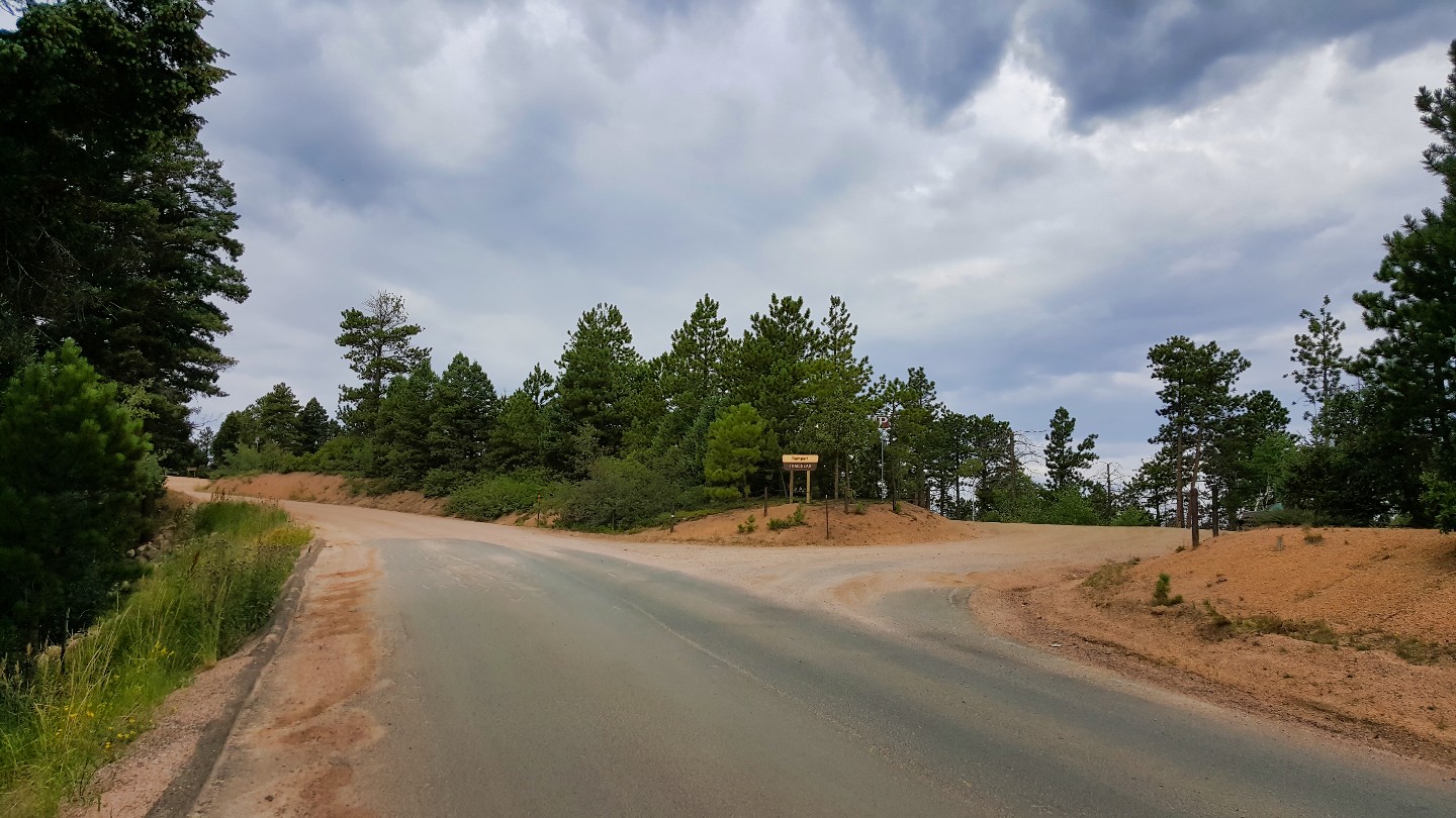
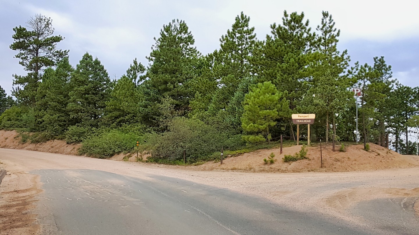
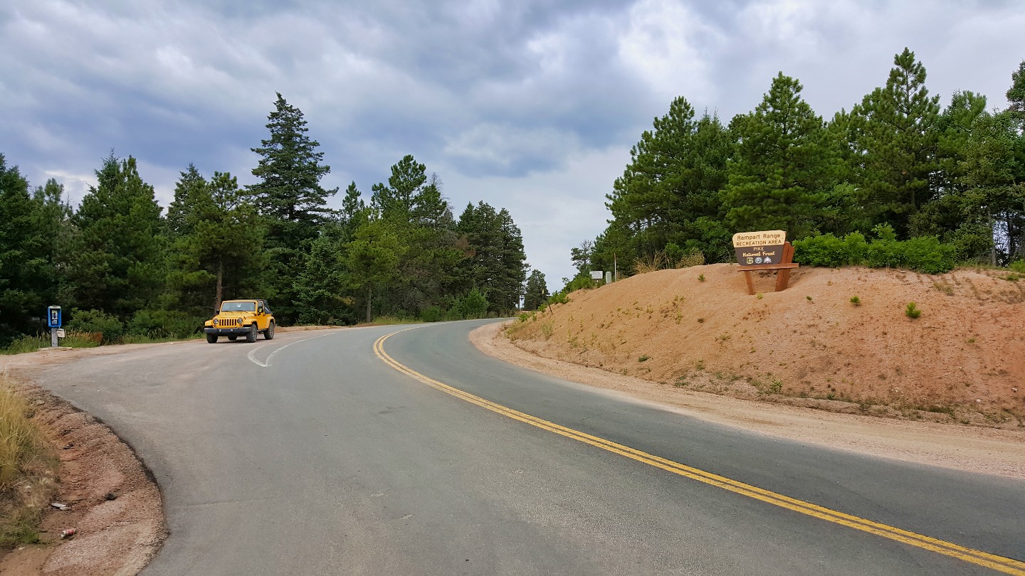
The trail ends on County Road 67. Turn north to go towards Sedalia. Turning south takes you toward Deckers and the South Platte River. There happens to be a working payphone here! If all else fails, it's a place to call for help.
Designated
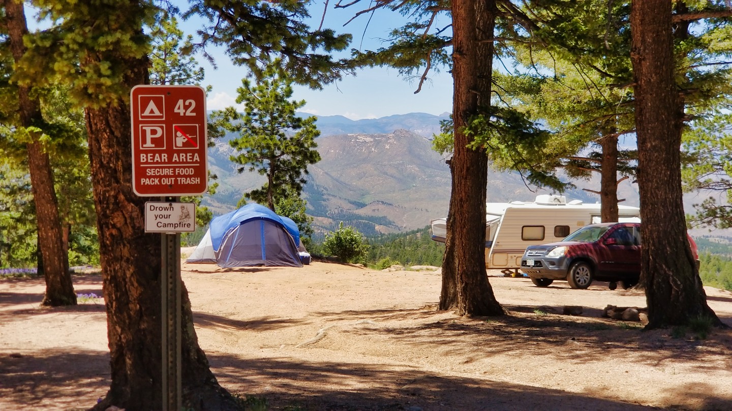
First-come, first-serve campgrounds along the way include Springdale Campground, Devil's Head Campground, Flat Rocks Campground, and Indian Creek Campground. Only Flat Rocks is open year-round. The rest are available seasonally. All require the fee to be deposited at the box on the way in. There are 99 additional designated campsites along Rampart Range. Sixty-nine are first-come, first-serve, and fee-based. These are mainly near the northern Sedalia end of the trail. Thirty are available for reservation through Recreation.GOV.
Additional sites exist on Lake Circle Drive for Rampart Reservoir. Thunder Ridge and Meadow Ridge require a reservation and are subject to a $6 vehicle entry fee.
Starting Point
Colorado Springs, Colorado
Take US-24 W to the exit for US-24 BUS W/Manitou Ave and turn right on Garden Drive to Rampart Range Road, turn right onto El Paso Blvd for 400 feet, and turn left onto Garden Drive for 0.5 miles to Rampart Range Road and the gate.
*Winter Access is only available via Woodland Park or Mount Herman Road near Monument, CO.
Woodland Park Direct Access: Head north on N Fairview Street toward E Midland Ave off US 24. Turn right onto E Lake Ave and follow for 0.3 miles; turn left onto Co Road 22/Rampart Range Road. Continue to follow Co Road 22 for 2.3 miles to the trail.
Trail Reviews
3.7/5 (89)
Partially Open
Rated
3/5
Visited: 04/01/2023
Difficulty Accuracy:
Spot On
Rampart Range Road is a great connector to countless more interesting trails. Unfortunately, the road suffers from extensive washboarding, making it a pain to drive in some sections. We headed northward until Hotel Gulch (Waypoint 17), but encountered a sign indicating a road closure ahead, suggesting that the northern gate is closed.
Partially Open
Rated
5/5
Visited: 12/26/2022
Difficulty Accuracy:
Spot On
North End Gate Closed. Either due to weather recently or seasonal closure.
Thought trail was open year round but that's not the case.
Open
Rated
3/5
Visited: 07/03/2022
Difficulty Accuracy:
Spot On
This road has heavy traffic at the beginning of the route, above Garden of the Gods. Traffic is less the further north you go, but picks up again when you cross over to where OHVs are allowed. Be aware of speedy ATVs around bends at the northern end of the track. Overall it’s a good road for a leisure 56 mile non technical drive if going the entirety of the route.
Open
Rated
3/5
Visited: 06/11/2022
Difficulty Accuracy:
Spot On
I just moved to Colorado Springs and ran this trail from south to north to get familiar with the area. The views start out incredible and then it becomes more of a drive through the forest with limited visibility. The highlight is definitely Rampart reservoir. It is very accessible. We saw several two wheel drive cars along the trail. After getting passed the reservoir the views aren't as good. There is an area where lots of people were doing target practice. The washboards weren't terrible, but definitely noticeable. We were running 30 psi in our tires and probably would have been more comfortable airing down a bit more. Overall it was a good trail to get familiar with the area. I plan to come back and hit some of the trails that branch off of this trail.
Open
Visited: 07/04/2021
Met several locals setting up to watch fireworks from the trail. We ran the trail from Garden of the Gods to just East of Woodland Park. It was an easy ride with quite a few people going both ways. Scenery was nice and we would recommend the drive the drive to anybody, Two wheel or four wheel drive will get you through,
Open
Rated
3/5
Visited: 06/19/2021
Difficulty Accuracy:
Spot On
Not sure what to say other than...it's Rampart Range Road. Sees tons of traffic, is heavily washboarded, but has lots to do for miles upon miles (camping, dirt-biking, off-roading, etc.). Fun area to explore if you have a family or if you're just looking to kill a day driving through the trees with some good views every now and then.
Open
Rated
5/5
Visited: 06/18/2021
My wife and I drove this trail today. Started at the garden of the Gods and drove the entire length. It was a beautiful day and the trail was in great shape, but a bit dusty. The views were great and also enjoyed the drive through the forest. The were serval others folks out and about on the trail and also saw a lot of campers along the way. Found serval hiking trails to check out later. Also looking forward to hitting some of the other 4x4 trials along this road. Great trail and enjoyed it a lot.
Partially Open
Visited: 05/20/2021
New camping information for Rampart Range and connecting trails has been released. This information will be updated on this trail in the coming days.
https://www.fs.usda.gov/detail/psicc/news-events/?cid=FSEPRD913573 / Note, trail will open on the northern end on May 21st at 8am.
Partially Open
Visited: 04/12/2021
The seasonal mud closure is now in effect. This closure is in effect until June 15th, or until conditions are dry enough for the Forest Service to open the gates for the year. This went into effect on April 9th. The north gate will not open anytime soon due to snow. The Rampart Range Motorized Management Committee is a great resource for updates on Rampart. They post closures and openings almost immediately once the Forest Service makes a change.
Open
Visited: 03/21/2021
This trail is open, however, CAUTION. Colorado weather is unpredictable this time of year and there may be the occasional fresh snow fall or mud and melting snow. This trail is in an area of the state where snowfall levels have dropped for the season and the majority of the trails are dry, muddy and/or only have a small bit of snow on them. Again, please use caution if traveling on these trails until the dryer season.
Partially Open
Rated
3/5
Visited: 02/20/2021
As the crew posted below, Rampart Range is only partially open. I accessed it from Mount Herman Road and then exited further sound using a paved road that goes down into Woodland Park. There are plenty of camping spurs that are accessible in this stretch and the snow coverage was minimal and/or packed due to heavy use.
Seasonal Closure
Visited: 12/04/2020
Trail Status: OPEN
Rampart Range Road Status: CLOSED
Rampart TRAILS and the MAIN PARKING LOT at Rampart Range Road and Hwy 67 are OPEN.
USFS Road 300 aka Rampart Range Road is closed at the following locations:
@67, just south of the main parking lot
@Jackson Creek Road (FSR 502)
@Dakan Road (FSR 563)
@FSR 327 in Rainbow Falls
@Rampart Reservoir
@Garden of the Gods
RRMMC Trail Maps showing the gate locations are available here:
Avenza – Get the App https://www.avenza.com/
MotoRidePhoto (online ordering)
Jarre Mart
Sprucewood Inn
Fay Myers
Vickery Motorsports
Performance Cycle of Colorado
Grand Prix Motorsports
Apex Sports
RPM Motorsports
G-Force Powersports
Questions:
South Platte Ranger District – 303-275-5610
Pikes Peak Ranger District – 719-636-1602
Open
Rated
5/5
Visited: 08/16/2020
Rampart Range Rd is a washboard road. Nothing technical, no obstacles. You'll be jarring the entire way. Lots of camping but very popular. Did a few connectors like Mt Herman and Dakan Rd. Saw quite a bit of wildlife including a black fox. Beautiful Aspens, pines, and huge boulders.
Open
Visited: 08/06/2020
This road is a fun and easy drive. The northern half of the trail is spend mostly in trees. However breaks in the trees make for some incredible photos. This trail is very popular for camping. There are many trails that off shoot from this main road which is a bonus! When taking this south make sure to take a left at the fork (paved section) or you will end up in Woodland Park.
Open
Rated
5/5
Visited: 07/25/2020
Such a diverse trail with many spurs that will cater to every offroad discipline out there. Lots of places to pull off along the way to get out and stretch your legs and enjoy time outside. The main roads can get washboard pretty bad during the latter part of the year due to all the traffic and usage but airing down your tires a little will help that out for sure.
Open
Rated
4/5
Visited: 09/02/2019
Ran this trail from Waypoint 1 to Waypoint 9. The birds eye view of the Garden of the Gods as you drive up out of Colorado Springs are pretty neat!
There was a lot of wash boarding starting at the turn off from the Eagle Lake Camp (Mile 13-14) all the way to Waypoint 9 (Mile 20). Enough so that we decided we had enough of the trail and would not be taking back from our Campsite at Springdale the following morning.
(Side note, Springdale campground is closed for the season, and will reopen Memorial day Weekend, 2020.)
Open
Visited: 08/09/2019
Ran the middle section of the trail between Upper Jackson Creek and Schubarth while doing some map updates. It appears the Forest Service has completed logging operations on what looks like the same area that they have been having people cut down Christmas Trees the last few years. Once the slash piles are burned, the trail guide will get updated with some new images and a video since this area looks a little different these days.
Open
Visited: 06/10/2019
Accessed trail from Woodland Park - Loy Creek at waypoint #11 headed south, since it supposedly has the best views. Headed south towards Garden of the Gods Park. Easy drive and was not disappointed with the views. Only issue was almost got hit several times by young drivers coming around curves at a high rate of speed.
Open
Visited: 05/29/2019
Be aware that there was a small forest fire in the area on 5/28/19 and crews may still be active in the area.
This fire was caused by an unattended campfire and serves as a reminder to be careful with campfires. Rampart Range and the surrounding area is a fire danger without human help.
https://www.krdo.com/news/top-stories/teller-county-wildfire-now-25-percent-contained/1081661068
Partially Open
Visited: 04/14/2019
Came up thru Mt Herman road (near Monument) to head North on Rampart and to Ice Cave Road and Rampart was mostly thawed. Was a little muddy but nothing that would cause extremely slick/dangerous conditions or trail damage.
Didn't venture far enough North to see if the gate was open since we went back the way we came from.
Lots of abandoned vehicles on Mt Herman Road though unfortunately. Hopefully someone will come snag them soon.
Partially Open
Rated
4/5
Visited: 02/16/2019
Snowy and icy! The southern end, driving north from Woodland Park, is not too bad; get on top of the mountain and there is packed snow from the FS Road 312 intersection and north. Up to 320/Mount Herman Road isn't too bad, but the road really starts to get slick near the 323 intersection. We stopped north of there before going down the big hill. A passenger car "somehow" got down there and stuck at the bottom.
Partially Open
Visited: 12/03/2018
Trail is closed at the north and south ends for the annual seasonal closure of Rampart. You can still get in via Loy Creek road from Woodland Park or from Mt Herman Road near Monument. Please note that Mt Herman Road will stay open until/if the Forest Service decides that snowfall forces a closure.
Open
Visited: 11/24/2018
Rampart Range and some of the connecting trails are again part of the Pike's Peak Ranger District's 2018 Christmas Tree Program. Please see the attached map for a good idea of the area available this year. This map was confirmed by the Forest Service office to be roughly the same for 2018, make sure to see the map given out with the permit for the legal cutting areas fo 2018. This map is attached only for a rough idea and reference.
Open
Visited: 09/07/2018
Garden of the Gods park announced on Sept 7th, 2018 that ALL gates within the park will now close at 10pm. An initial call to the park indicated that they WILL be closing the Rampart Range entrance and exit at that time as well. This causes some problems since it's 17 miles to another exit if you get that far. I have reached out to the Forest Service and Colorado Springs Parks & Recreation to explain the concerns of closing this down.
Open
Visited: 07/03/2018
There was a carjacking and shooting on Rampart Range yesterday. Investigators have closed the road and all campgrounds around Devil's Head for the next 48 hours.
Please be aware that the middle section of Rampart Range is CLOSED for investigation. You can only enter the trail from the North or the South, the middle section that is typically open in the winter is the part that I have been told by the Forest Service that the road is closed roughly from Waypoint 19 to 25.
Open
Visited: 05/06/2018
Everything is open and packed with people. Came up Dakan Rd. to Rampart Range so did not go the full length but I can't imagine it looks any different in the parts we didn't go on. The road is dry and dusty already even after the rain this past week. The surrounding roads have a couple wet spots here and there but everything is good to go!
Open
Visited: 04/28/2018
It was a gorgeous day here in Colorado and while it's not quite spring in the mountains, the snow is largely gone and the Rampart area is open.
We ran the trail from Dakan Road down to the Garden of the Gods. There are no major changes to report at this time. The southern end of the trail does not appear to have as bad a rutting as it did in the fall.
Open
Visited: 04/12/2018
Exciting news today! The Ranger District has lifted the seasonal AND mud ban for ALL of Rampart Range.
trailsoffroad crew confirmed today with the Ranger and a non-profit that the lack of significant snowfall has resulted in an early open this year.
Please be respectful and be mindful that there is still a chance for mud at this time of year. Do not tear through mud holes and do not cause ruts. The side trails are open and subject to those rules and regulations.
Partially Open
Visited: 02/17/2018
I drove a short segment of Rampart Range Road (FS Road 300) from Hotel Gulch (FS Road 346) to Mount Herman Road (FS Road 320). Conditions are snow packed and partly clear. The clear sections are very wash-boarded and rough.
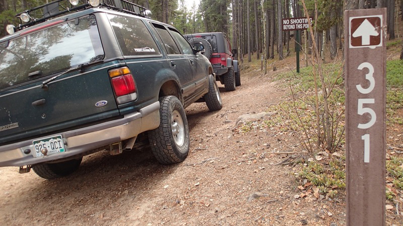
As stated by JD Marshall on 12/01/2017 the Seasonal Gates are closed on the north end of Rampart Range Road (in vicinity of the radio towers approximately 300 yards north of where FS Road 351 and FS Road 327 intersect with Rampart Range Road).
Seasonal Closure
Visited: 12/01/2017
The Forest Service closed the gates this morning for Rampart Range at the North and South entrances. The trail remains open from Woodland Park and the entrance from Loy Creek Road for roughly the middle 20 miles of the trail. Dakan Trail and all the trails north of it are closed to 4x4's for the season. Other trails like Schubarth and Ice Cave Creek will remain open all winter but be sure to check back at trailsoffroad for the latest trail statuses.
There has not been much snow on Rampart as a whole so far this season. Many of the side trails will likely be easily passable until the next high country snow.
Not Reported
Visited: 11/27/2017
Ran Rampart from Loy Creek to Dakan after picking up our Christmas Tree permit from the Pike's Peak Ranger office near Woodland. There was little to no snow on the trail and only a few icy spots in the shade. While I expect that they will close the trail as scheduled this year, there is a chance they will leave Rampart open until the first significant snow up there.
I have left a message for the county to find out the state of the repairs on the southern end of the trail. It appears they have repaired just enough to make it passable, but it needs work. Low clearance vehicles beware. It is possible they are holding off on repairs until spring after the runoff.
The area for picking trees this year includes trails from Loy Creek Road to Fern Creek. There is no northern area above 67 this year. See the attached pictures of the cutting area map.
Open
Visited: 11/26/2017
Great scenic drive from Garden of the Gods to the turnoff to Rampart Reservoir. Low-clearance passenger vehicles beware, the road is still rutted in spots but I think anything with at least the clearance of a Subaru would be completely fine.
I'm going to mention again that the portion from Rampart reservoir up to the start of 300V is some of the worst washboarding I've ever seen. I suppose all the traffic from shooters and campers pushing 40mph may just be too much without more frequent maintenance, means to keep speeds down, or simply paving it.
Open
Visited: 11/01/2017
We drove up from Garden of the Gods through Rampart Range to Mt. Herman Road before heading home.
The last person was not lying about the amount of washboarding. The washboarding at the north end of the trail is expected but the southern end near the garden was rutted badly. Fortunately, we saw equipment and evidence that the county has been out grading the road and grading out the ruts. They appeared to be halfway done when we were going through and will likely finish right before the seasonal closure.
Be aware that some of these ruts will make this rough on a passenger car that is used to getting through here easily. We'll update the trail in the spring to verify the ruts remain repaired.
Open
Visited: 10/21/2017
RE: the portion from Loy Creek Rd outside of Woodland Park up to the start of Balanced Rock Rd, Holy washboard, Batman! Easy drive but I may have to get some fillings redone after the washboarding shook them out. Hopefully I just caught it right before they graded it, because it makes for an unpleasant route to get to the more fun 4WD trails it provides access to.
Open
Visited: 08/19/2017
We decided to take the scenic route back to Denver from Colorado Springs: Rampart Range and a couple of side trails.
Despite the recent rain, the trails are dry and dusty. The area around Devils Head had a TON of road-side campers and hikers. The north end was positively buzzing with bike and ATV campers. I don't think we saw a single empty campsite.
Open
Visited: 04/09/2017
We traveled from Mount Herman Road to the exit into Woodland Park. The trail was open all the way through and so dry in some places that there was a lot of dirt getting kicked up due to wind. While the trail appears open for the 19 miles in the middle that are open year-round, there are lots of signs and we saw plenty of Forest Service vehicles enforcing no-riding rules in effect for ATV's and small vehicles for mud-season.
Partially Open
Visited: 02/18/2017
Myself, an FJ80 ,and a Tacoma traversed a small segment of Rampart Range Road from FS Road 346 (Hotel Gulch) to FS Road 320 (Mount Herman Road) on Saturday, February 18th, 2017. We were surprised to find the road mostly covered in snow, despite warm temperatures for the preceding week.
This segment of Rampart Range Road was 75% covered in snow, and 20% slush or wet/muddy road. Very little (5%) was dry dirt. Also surprising to us was the volume of traffic observed; within a 30-minute span covering perhaps six or seven miles, we passed dozens of Jeeps, trucks, and even passenger cars. Most were parked north of FS Roads 300V/300U, where target shooting is permitted.
Not Reported
Visited: 12/04/2016
We got into the trail from Woodland Park to do some tree hunting. We did not find a tree, and we also didn't find a ton of snow. The snow that was there was hard packed and doable by most vehicles.
Most areas had recent vehicle tracks and we did not encounter anything my Rubicon could not easily take. Be careful if going out there though, all snow-wheeling precautions should be taken on this trail.
From the Community
Be the first to ask a question!
JD Marshall
Mapping Crew - Colorado
Jen & JD moved to Colorado from Chicago in May of 2015 for work and brought with them a 2001 stock Jeep Wrangler that had been garage bound for two years. Within a month of arrival, all rusty 170,000 miles of it was shaking on Colorado trails and they've never stopped. As time as gone on, their 2001 TJ had to be traded and a 2015 Jeep JK has been added to the family.
JD works as a Systems Engineer for a cable company and Jen runs a business from their home during the week to pay the bills. When the weekend hits, they're almost always hitting the trail. When Sunday night rolls around, the question turns to, 'so what's next week?!'.
Visit Profile
Start a free trial and get this level of detail on every trail
guide
Start Free Trial
Print Trail Guide
Purchase
Company
Community
Recent Updates
By clicking "ACCEPT", you agree to be the terms and conditions of each policy linked to above. You also agree to the storing of cookies on your device to facilitate the operation and functionality of our site, enhance and customize your user experience, and to analyze how our site is used.
