Please wait - Uploading to Gaia GPS
Fins and Things

Trail Information
Difficulty - Mandatory
4 -
MODERATE
Difficulty - Optional
6 -
DIFFICULT
Status
Open
Distance
10.19 mi
Duration (one-way)
About 4 hours
Permit Required
Highest Elevation
5092 ft
Shape of Trail
Loop
Typically Open
Year Round
Best Direction
N/A
Official Road Name
Fins and Things
Nearest Town
Moab
Nearest Services
Moab
Management Agency
Bureau of Land Management
District
Moab Field Office
Highlights
Are you looking for a trail close to Moab that provides an iconic Moab experience and is a Jeep Badge of Honor Trail? Then start the motor and head to Sand Flats Recreation Area for Fins and Things! This particular trail packs a tremendous amount of fun and grand views of the La Sal Mountains in the background while driving on the mysterious-looking "Fins and Things." "Fins" are the Navajo Sandstone slickrock formations northeast of Moab, and the "things" are what remain as the fins erode. The fins started as wind-blown dunes over 200 million years ago that got cemented into sandstone, and they are now going full circle back to sand blowing in the wind.
The term "slickrock" emerged when early western settlers crossed this sandstone in wagons with wood wheels on steel rims. Those steel rims definitely didn't have the traction we have today with rubber tires. As a matter of fact, they found it rather "slick." Imagine facing down a 40-degree slope on wood and steel wheels! Fins and Things is the penultimate trail for proving just how grippy slickrock really is. You'll probably have a pretty tight grip on your seat cushion as well.
Trail Difficulty and Assessment
Recommended Vehicle:
Stock SUV with High Clearance and 4 Low
Concerns:
Summary:
This trail has multiple steep and rocky sections, giving it the mandatory"4" rating. Several optional climbs are upwards of 40 degrees and generate the high rating of a "6".
Community Consensus
1 votes
28 votes
10 votes
Easier
Spot On
Harder
The weighted average of your fellow members agreement of our trail rating. As trail conditions change this helps us keep the community aware of changes.
Mandatory
4 -
MODERATE
The hardest part of the trail that you
cannot bypass - you have to drive it.
Optional
6 -
DIFFICULT
The hardest part of the trail that is
purely optional - you can bypass it.
Typically, more rock or undulated road surface. Potential rocks and/or tree stumps less than 18" tall and/or vertical ledges less than 18" tall and/or near vertical ledges or waterfalls less than 36" inches. Tire placement becomes more difficult. Can be steep and off-camber. Read More about our Rating System
Start your next adventure on Fins and Things

Upgrade your Membership
Unlock all of the details on every Trail Guide and Scout Route.
Start a 7-day Free TrialUploading to Gaia GPS
Share Trail
Trail Navigation
Direction of Travel
The southern and northern sections of the trail are mostly one-way travel only, with the south section being strictly one-way only. Please remember to stay on the marked route and follow the one-way signs. The entrances and exits do change from time to time but are well-signed. Always follow the signage versus a GPX or app in the event of trail alignment changes. If you are uncertain about the direction of the trail on slickrock, follow the black tire marks and white paint.
Vehicle Recommendations
Bone-stock high-clearance SUV-type vehicles will struggle in spots, but the trail is doable. A small lift and larger tires will be helpful. Lockers aren't necessary, but they are helpful. Whichever you drive, air those tires down for traction and have a spotter.
Road Surface and Obstacles
Fins and Things is almost entirely on slickrock or sand. A few climbs are aggravated by a loose sand approach, with the sand being deep or shallow. Steep pitches up and down are the primary type of obstacle, with a few pitches reaching almost 40°. Many obstacles are blind, meaning you can't see the road from the driver's seat. Use a spotter or get and look before driving over a blind edge or turn.
Location:
Fins and Things is located within the Sand Flats Recreations Area and managed through a partnership between Grand County and the BLM. All 4X4s, ATVs, motorcycles, and bikes must remain on designated roads and trails. There are no open play areas within Sand Flats. Penalties for violations of trail use can include, among other things, forfeiture of vehicles. Please Stay on the trail! Remember, indiscriminate vehicle tracks represent the theft of beauty that you came here to see.
Hours of Use
The southern section, Waypoints 1-16, can only be run during daylight hours because portions of the trail travel through camp.
Fee:
Sand Flats offers a few different types of use passes.
Enter in a private vehicle, and you can purchase a 1-day pass for $5.00 or a 7-day pass for $10.00. Sand Flats also charges a vehicle trailer fee of $5.00. An annual pass for $25.00 is available. The pass admits the cardholder and passengers in a single, private vehicle for day use through the last day of the month and year indicated on the pass.
Avoid when ice and or snow are present.
1. Trailhead (0 mi)
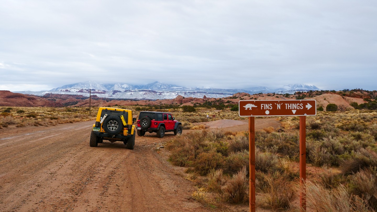
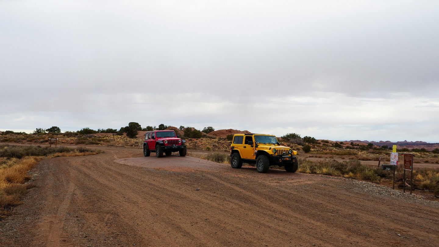
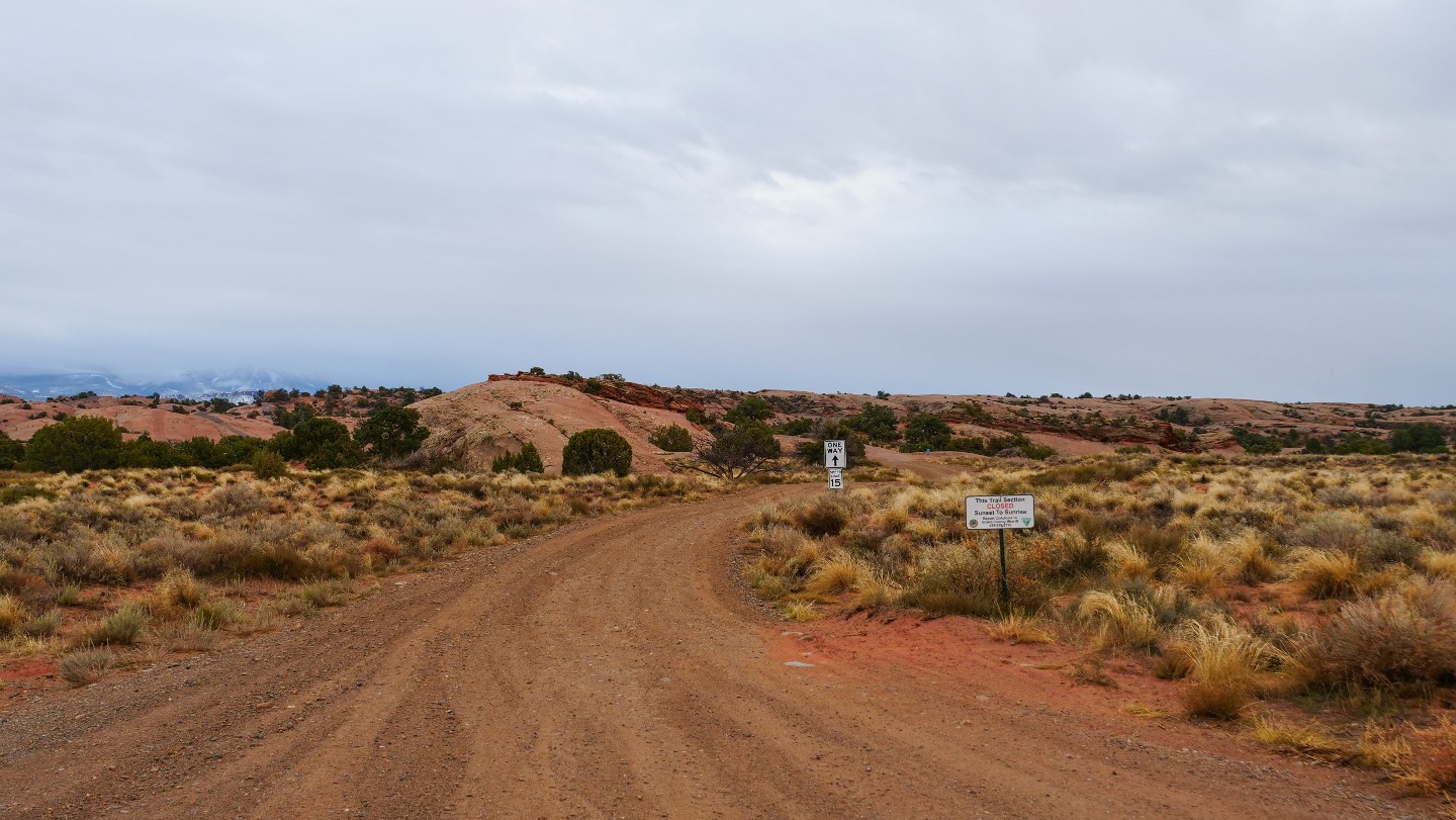
Off Sand Flats Road is the trailhead for Fins and Things to the south. There is ample space to pull over, air down, grab a map and hit the trail.
2. Begin Slickrock (0.17 mi)
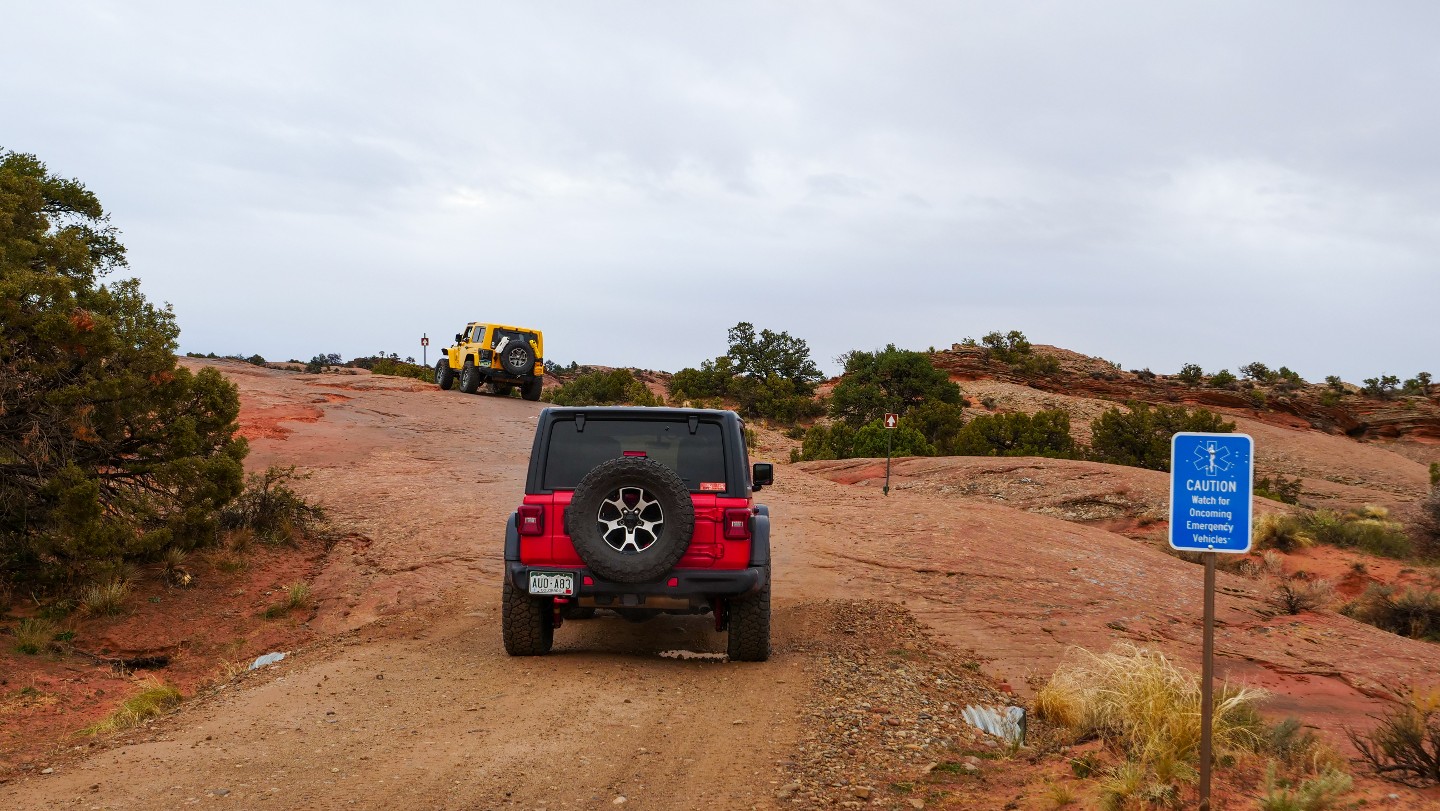
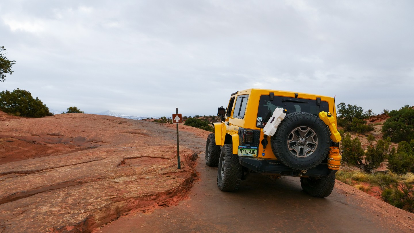
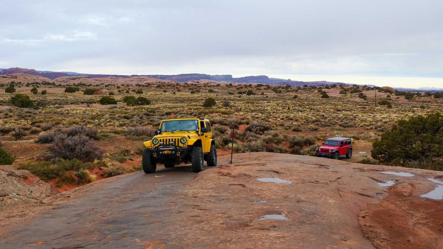
After the trailhead is your first taste of slickrock, Moab is known for its extremely grippy rock, allowing vehicles to easily scale 30+ degree pitches without slippage on sufficiently aired-down tires. Follow the arrows to continue along the trail.
3. Fence Example (0.31 mi)
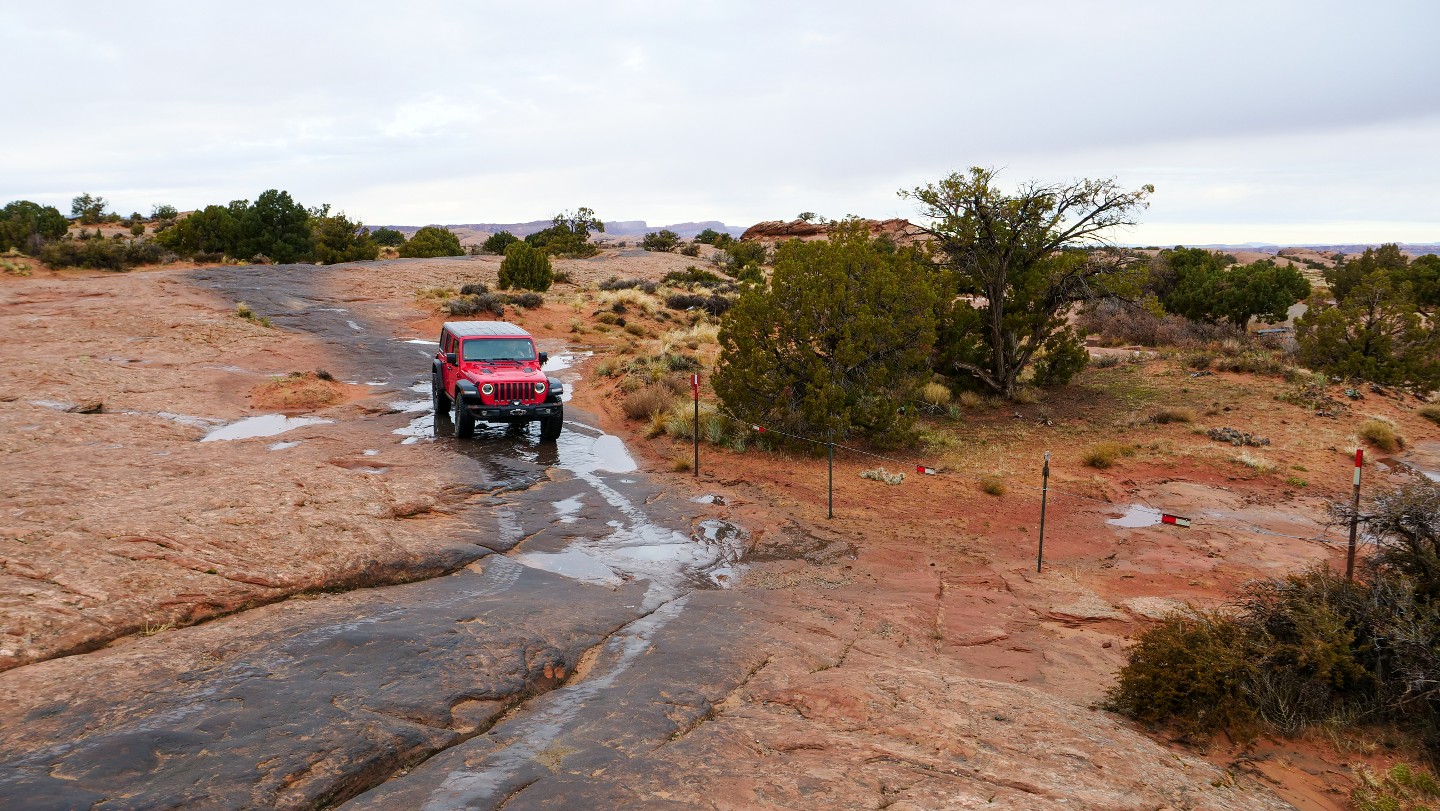
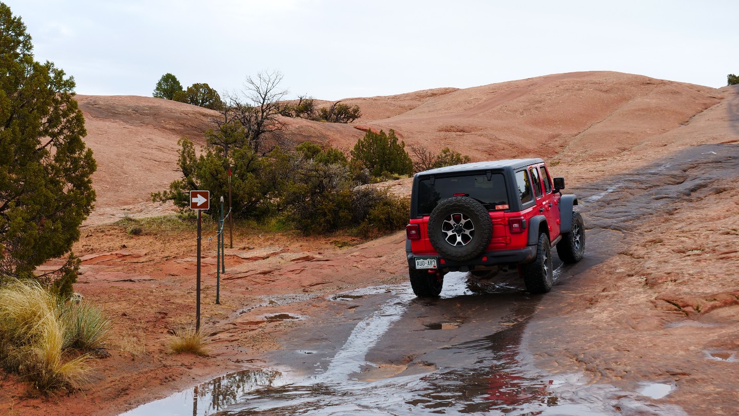
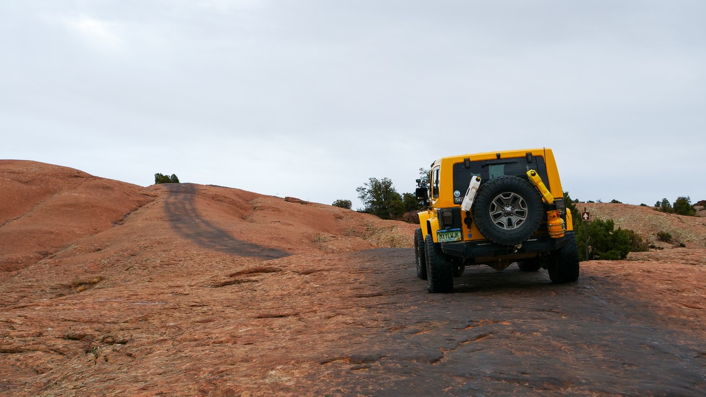
Due to the popularity and usage of the trails in Moab, the BLM has erected fencing to keep people on the trail. This is an example of fencing you will see along this trail. The environment past these fences is extremely sensitive to disruption and needs to be protected for the safety and growth of desert flora. Please stay on the trail, so our trails are not shut down and are available for generations to come. Follow the arrows and continue straight.
4. Driver's Choice (0.4 mi)
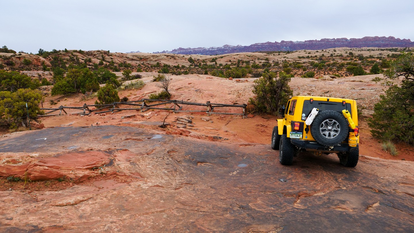
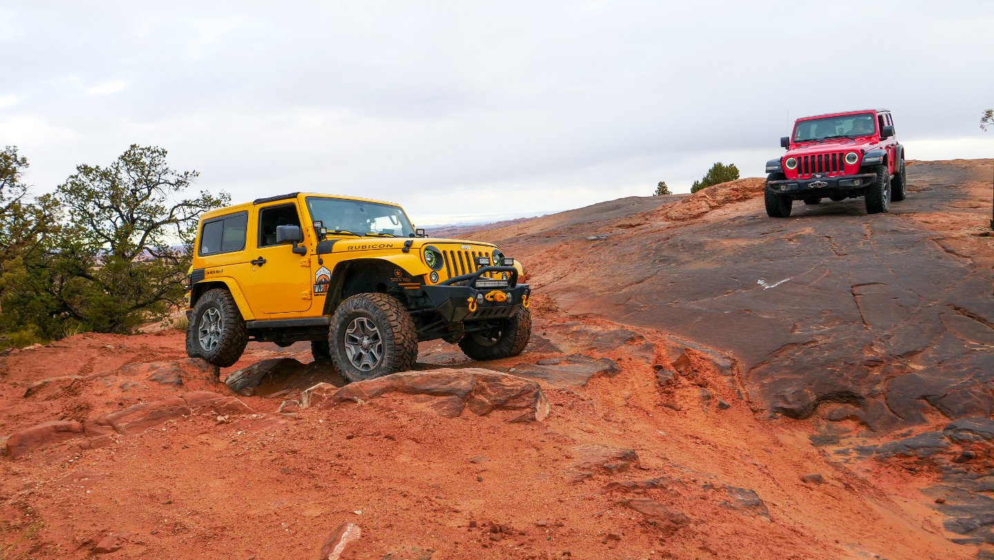
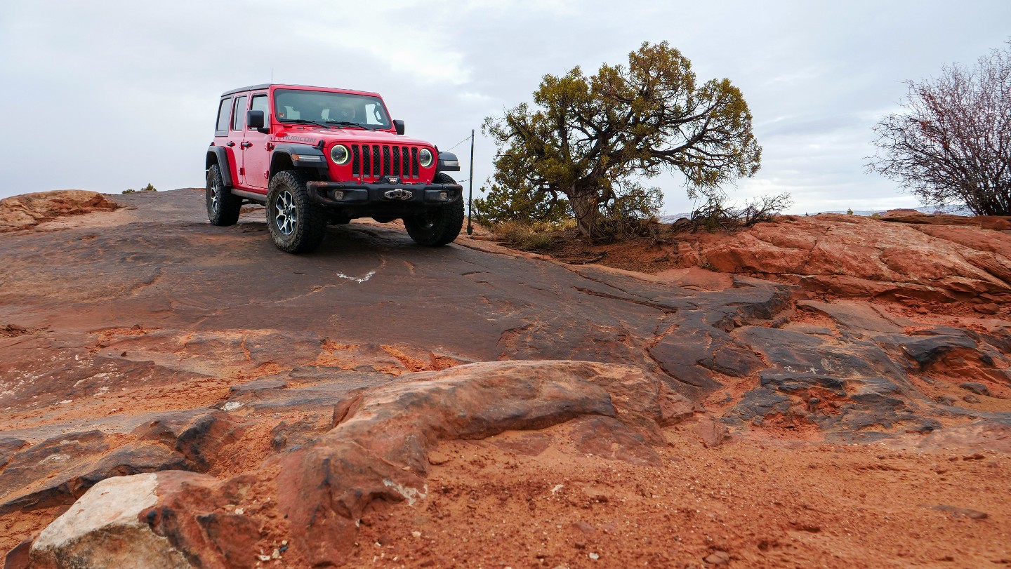
There are two line choices at this Waypoint. The harder line is to the driver's first right with a steeper drop-in to a section of protruding rocks. The easier is the second ramp down with a more gentle ramp but with a bit of off-camber. Follow the arrows and continue along the trail.
5. Caution - Veer Down Right (0.5 mi)
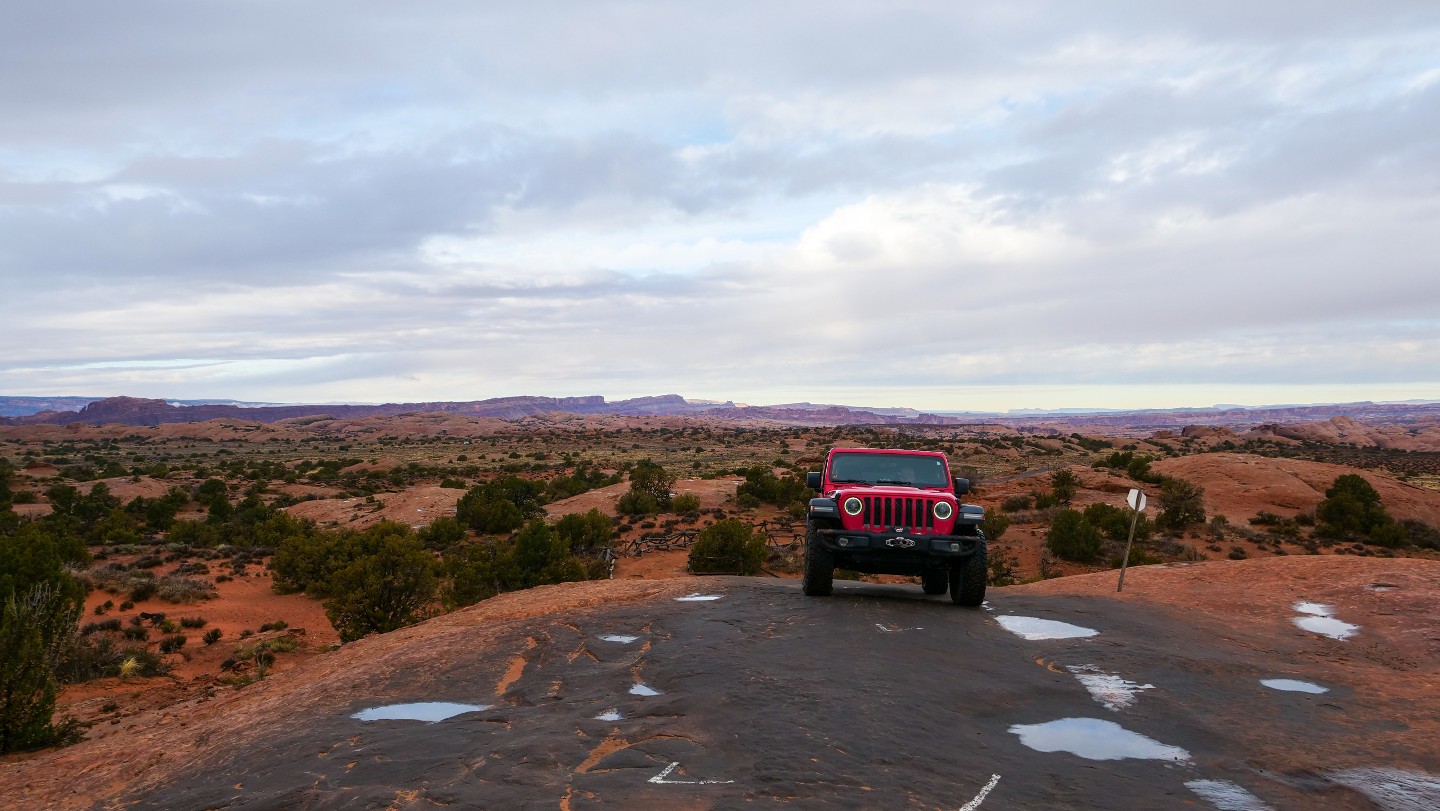
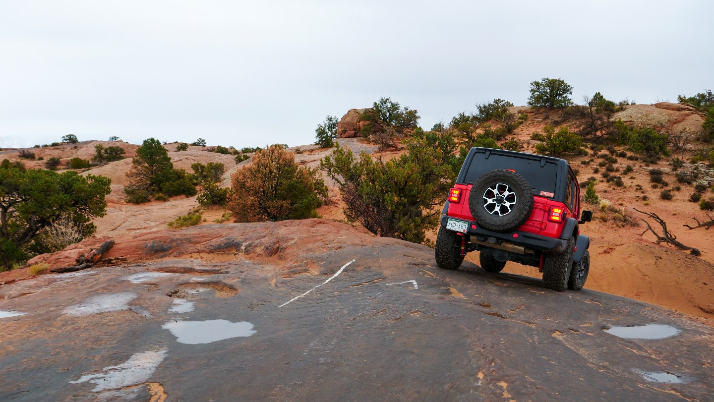
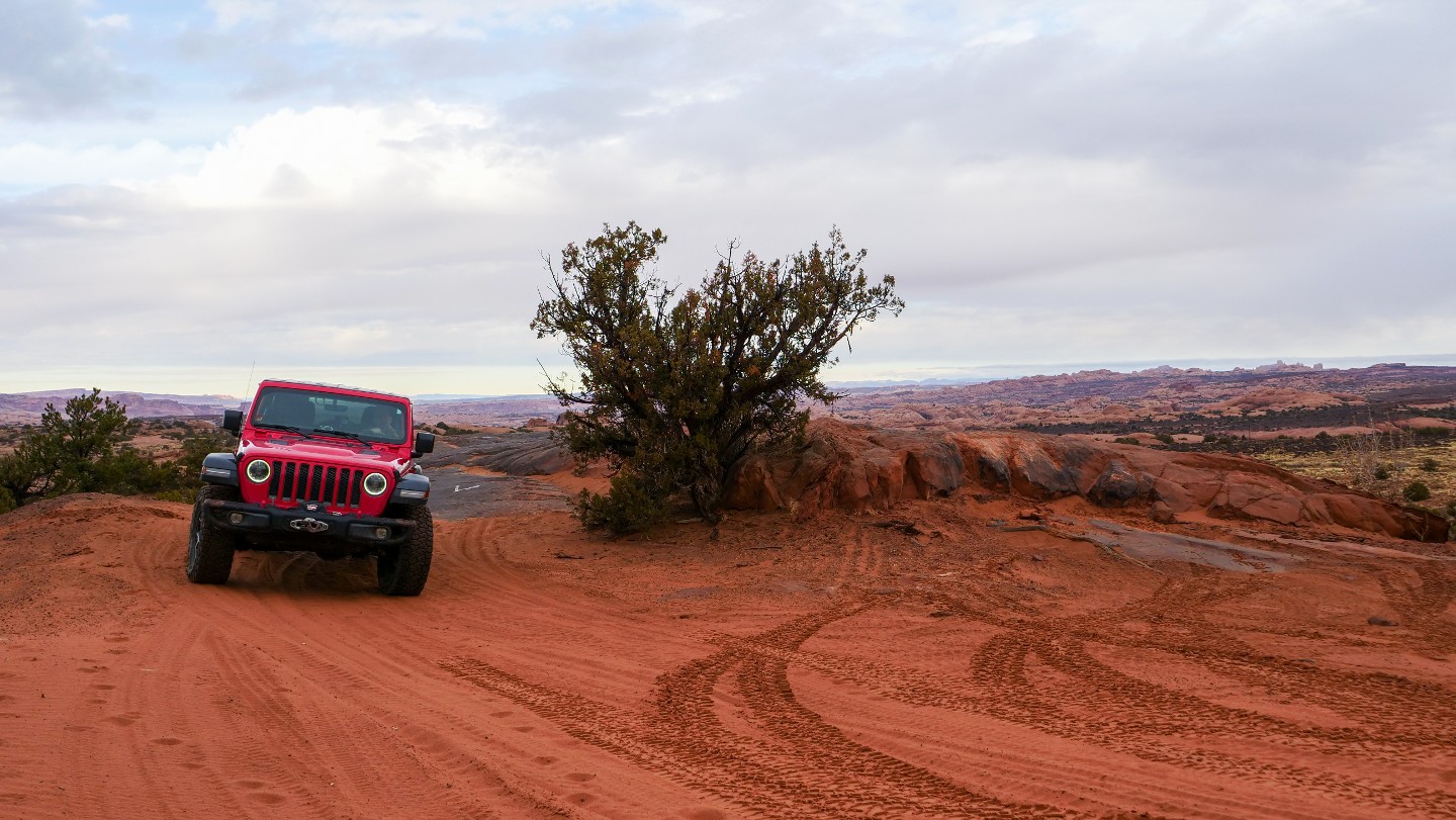
Take caution here as it is hard to see the paint and drive straight over a 2.5" drop, or miss the turn a little wide and drop your front driver tire into a hole on the descent.
6. Intersection with Alternate Route - Stay Right (0.54 mi)
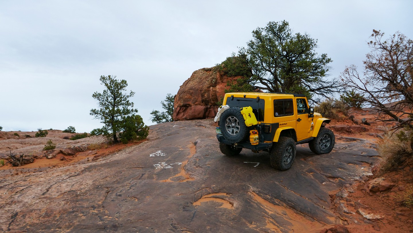
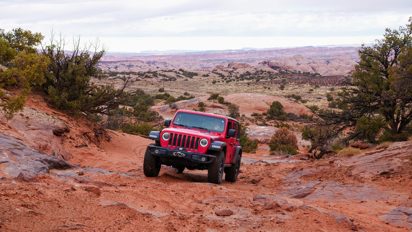
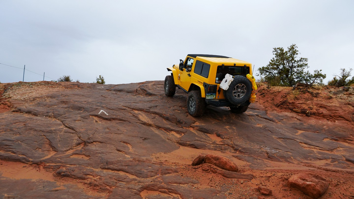
Stay right to follow the main trail. Going left will take you on an alternate route that will reconnect about 0.15 miles ahead at Waypoint 7. If you haven't already started, you will want to pay attention to the white paint as it will instruct you on where to go along this trail. As you stay right, you will approach a series of obstacles.
7. Alternate Route Exit - Stay Straight (0.69 mi)
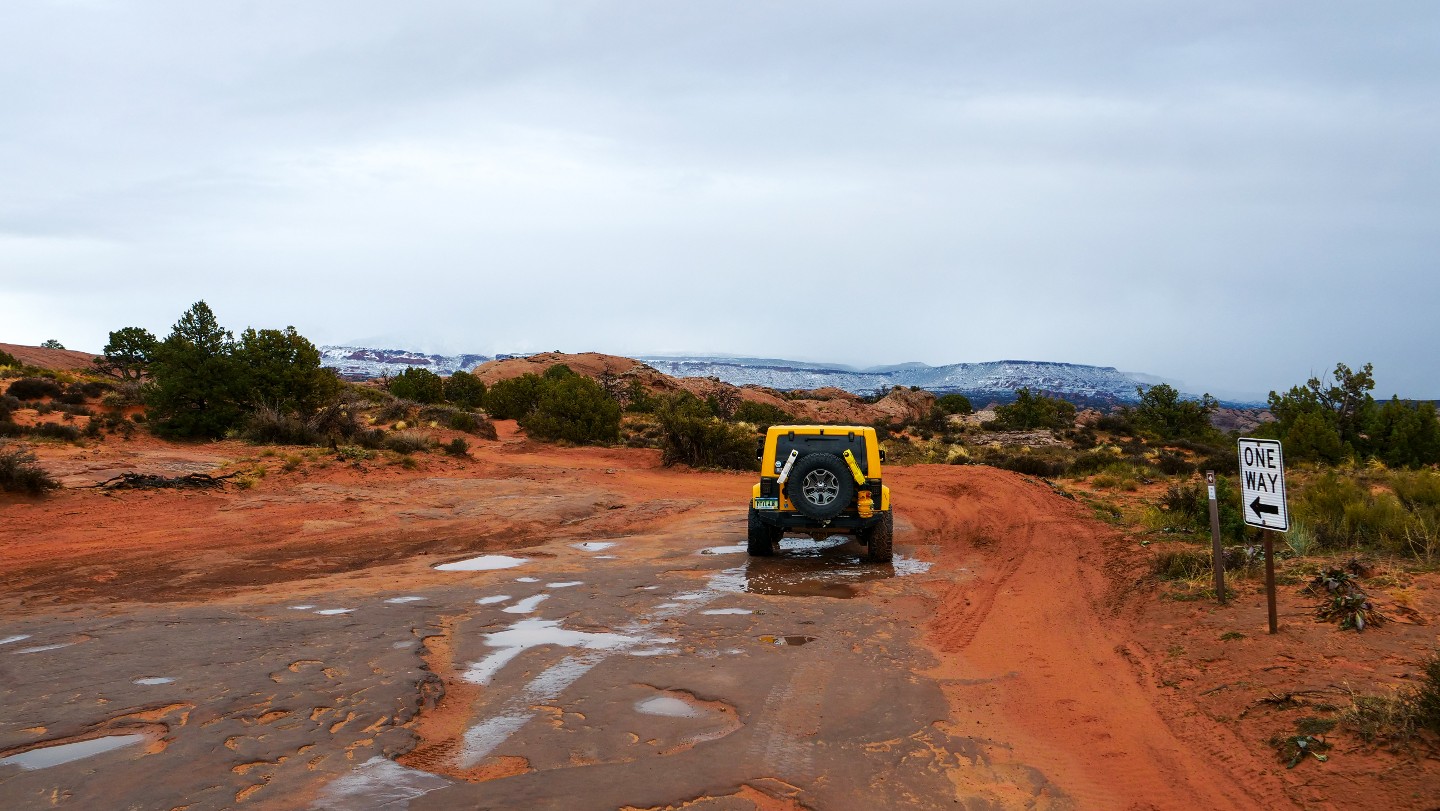
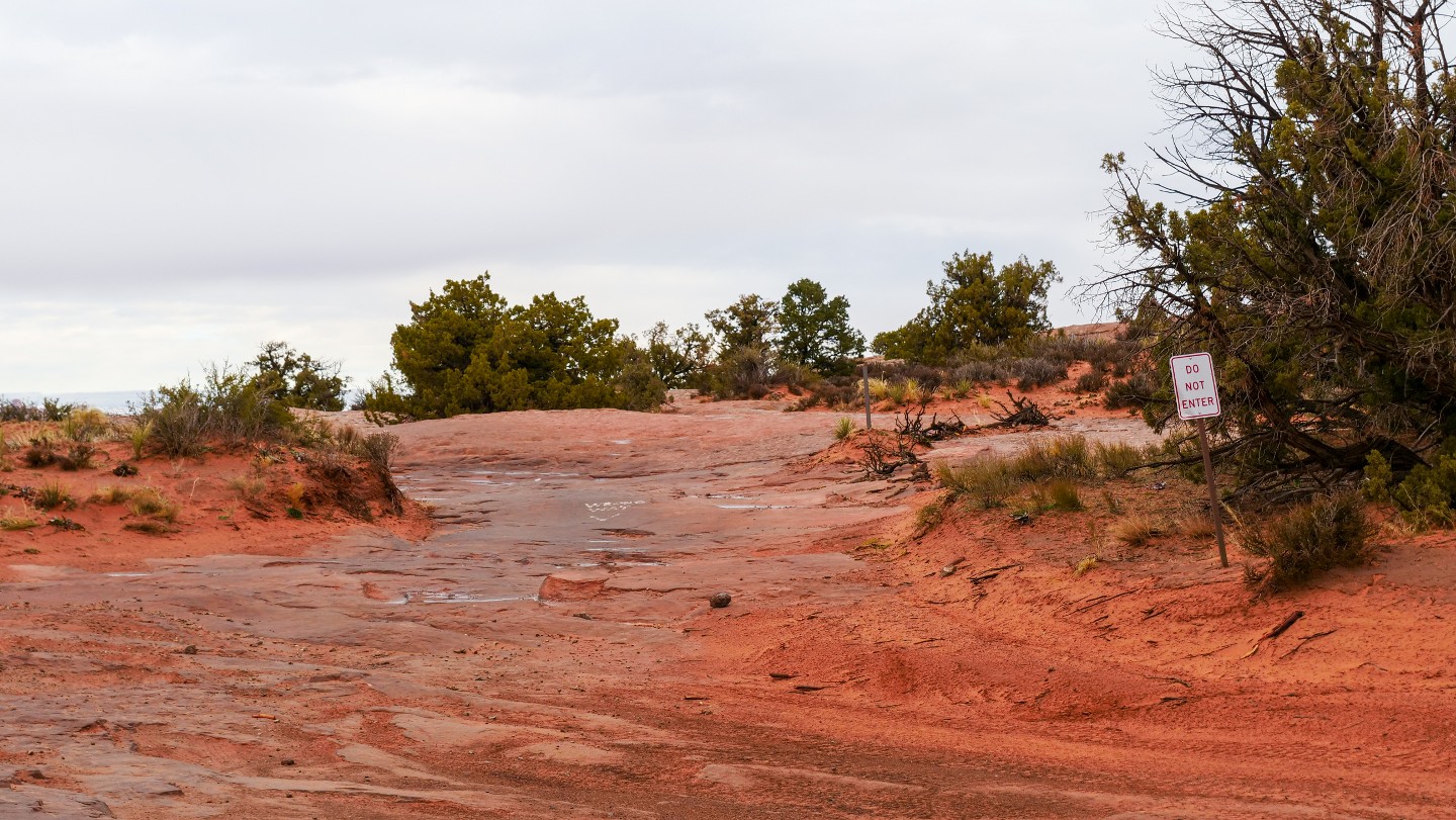
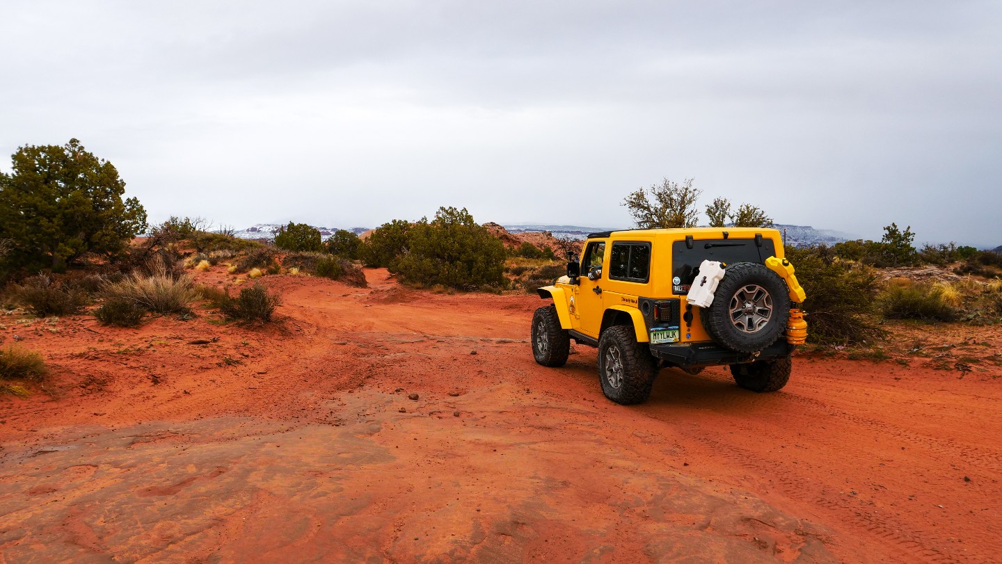
If you ended up taking the alternate route noted at Waypoint 6, here is where it would dump you out. Continue straight.
8. Fin Climb (0.76 mi)
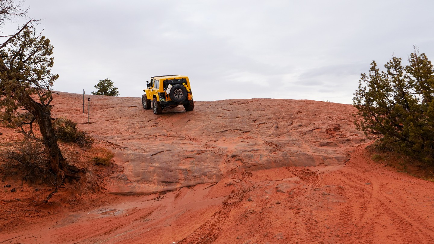
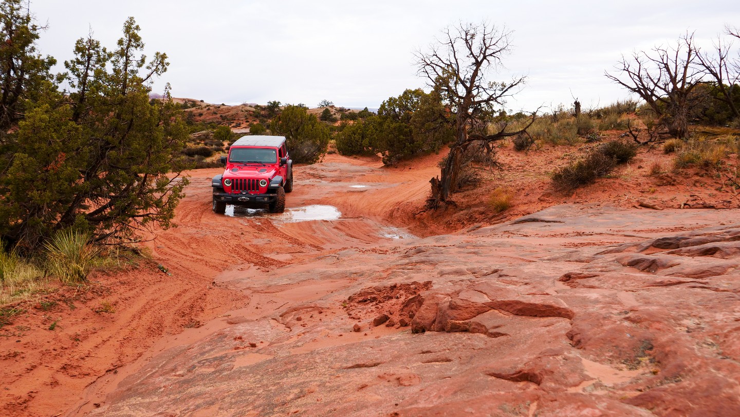
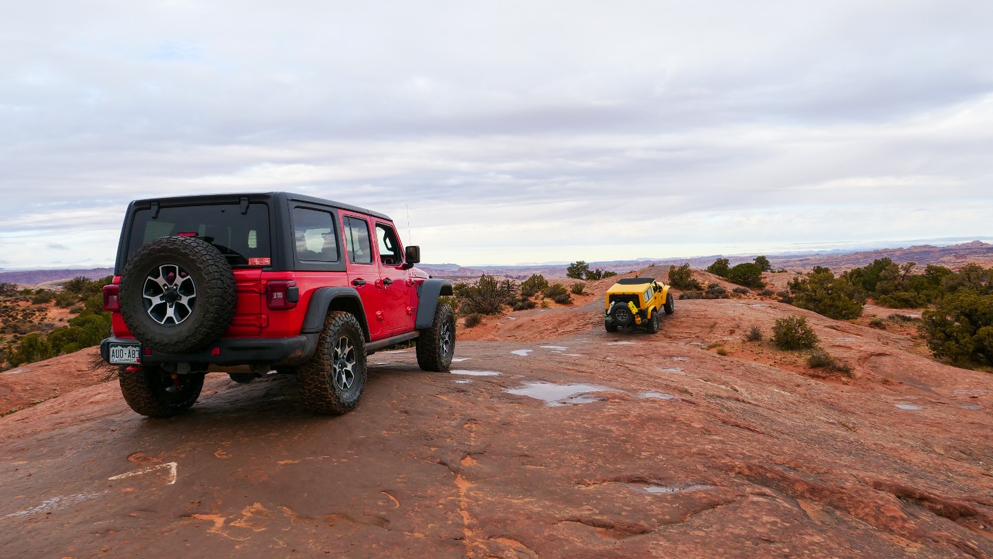
As you head up this fin climb, which is relatively mild compared to the other fins along this trail, pay note of the arrows painted on the rock. The scenery opens up with incredible views of your surroundings.
9. Alternate Route - Stay Left (0.83 mi)
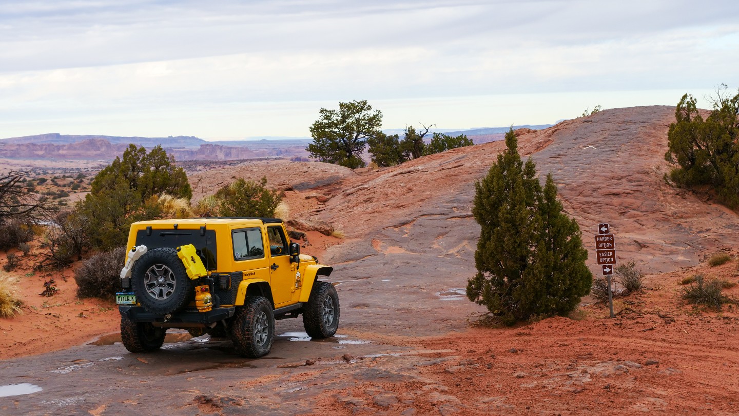
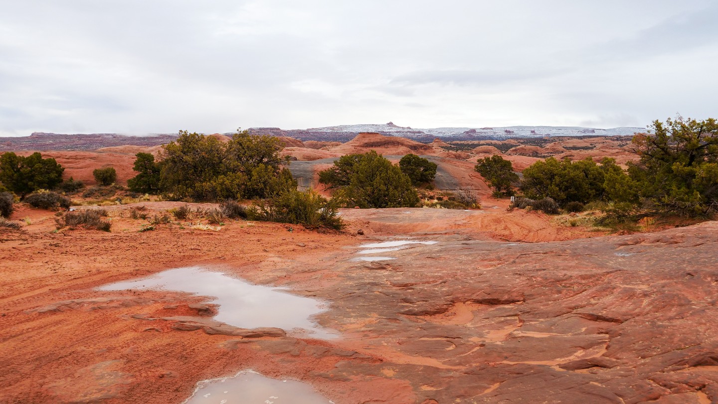
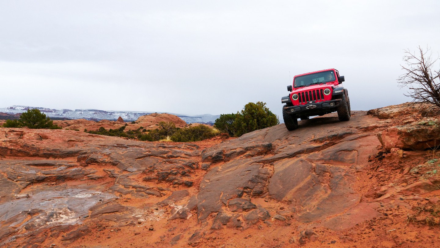
There are several alternate routes along Fins and Things. This alternate is a very short cutoff that takes you over to Waypoint 12. If you stay on the main route as mapped, prepare for the following few Waypoints to contain very steep ascents and descents. This alternate route is advisable if that is not in your comfort zone. Just after the intersection along the main route is a minor off-camber obstacle.
10. Steep Descent (0.93 mi)
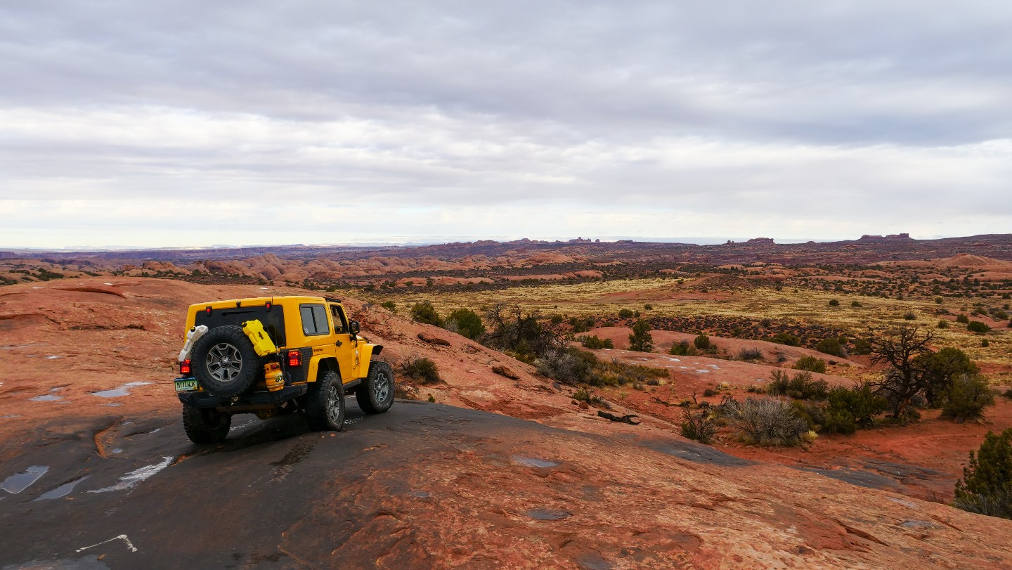
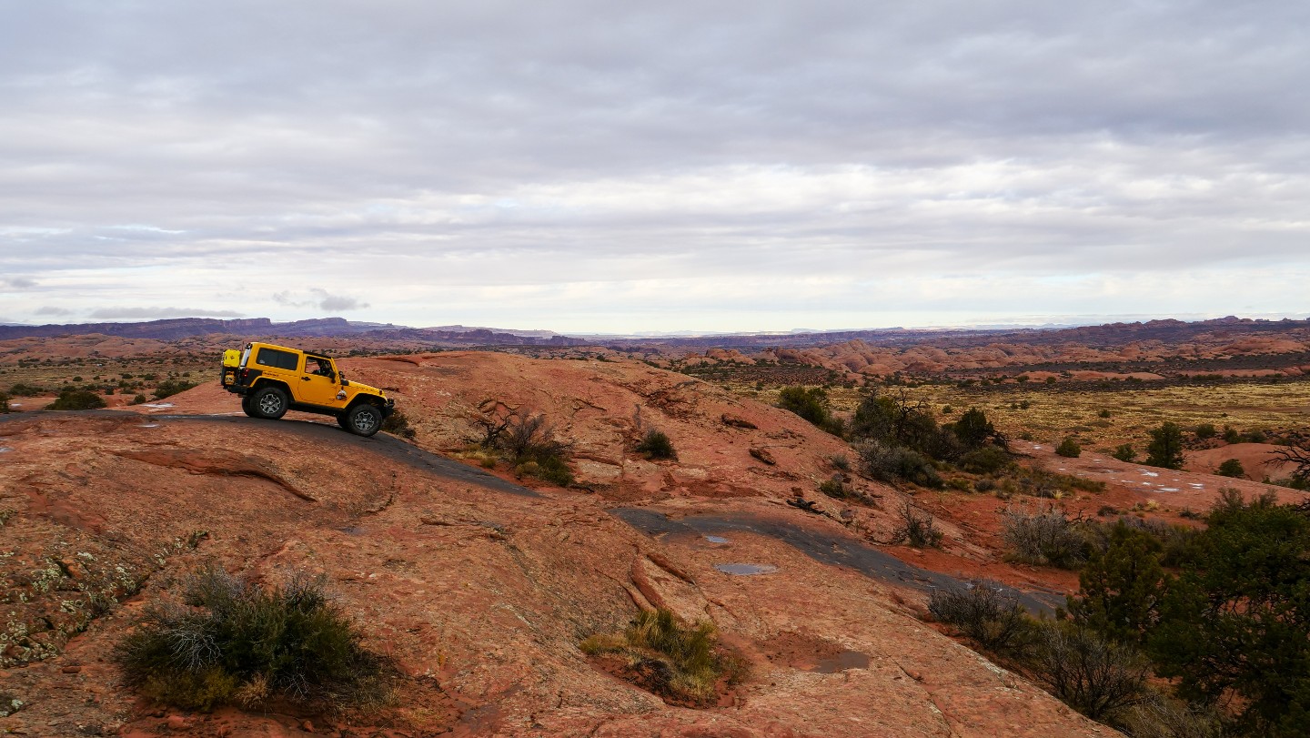
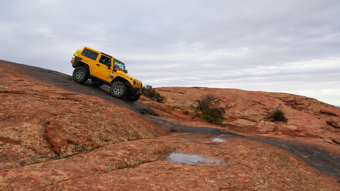
The very first steep descent you will encounter along Fins and Things. Use the gearing in your transmission in conjunction with your transfer case (4-low) to engine brake down the pitch. Use your brakes only as needed to control the vehicle. Continue straight and follow the arrows down, as they will guide you on the safest line down.
11. Pitch - Driver's Choice (0.98 mi)
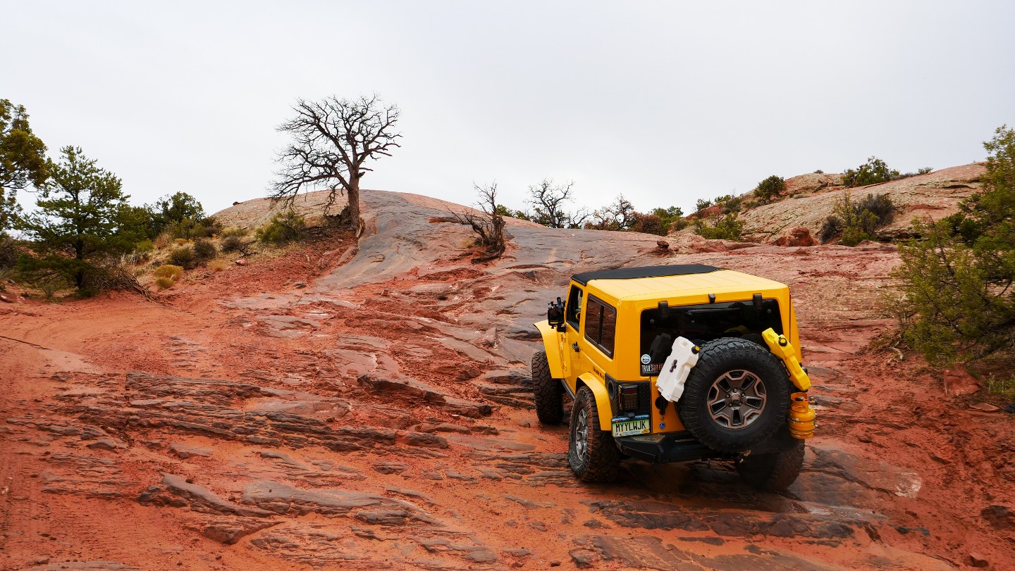
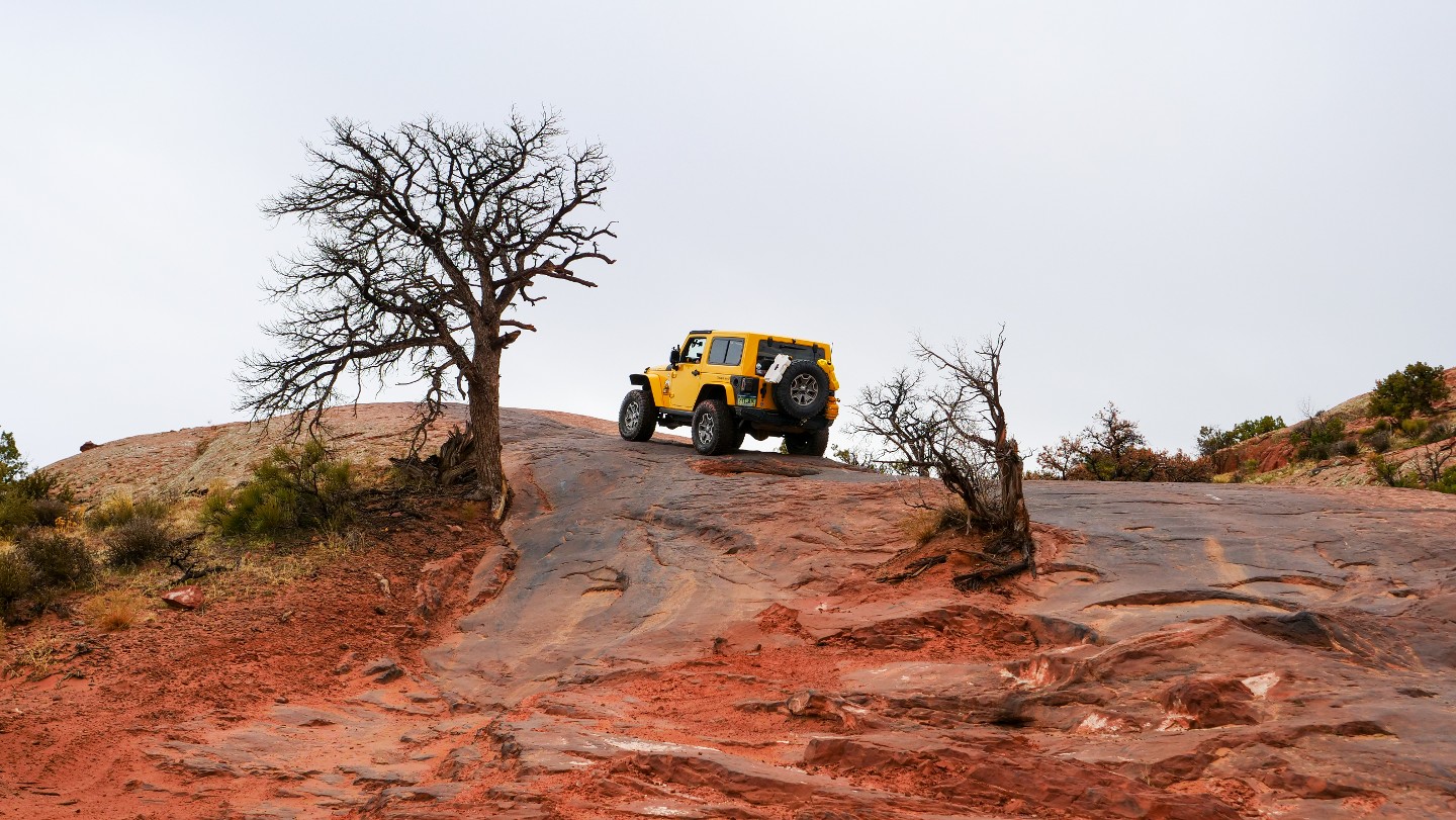
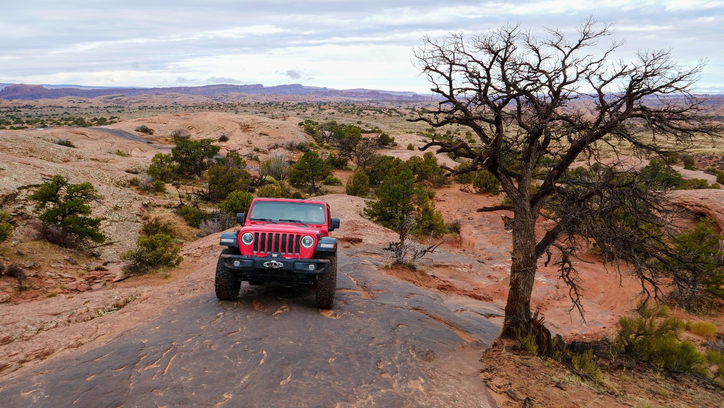
This steep pitch has two driver options. The pitch to the driver's left is milder in terms of obstacle flex and clearance. However, it is more off-camber in the direction of the tree. The obstacle to the right will require a bit more flex and clearance but much less off-camber and has no potential for body damage against the tree. Take your pick and continue up the climb.
12. Three Options Down (1.07 mi)
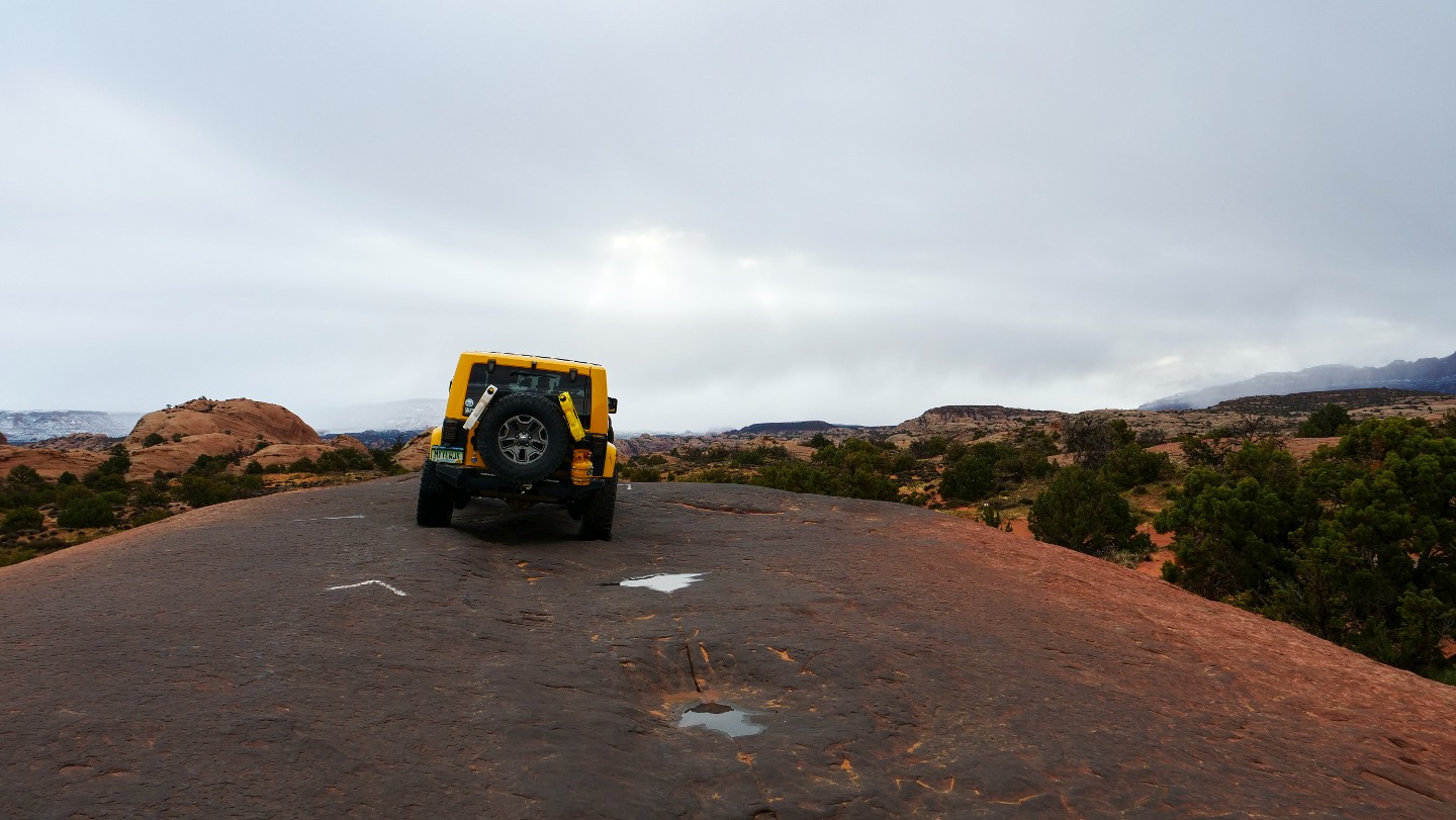
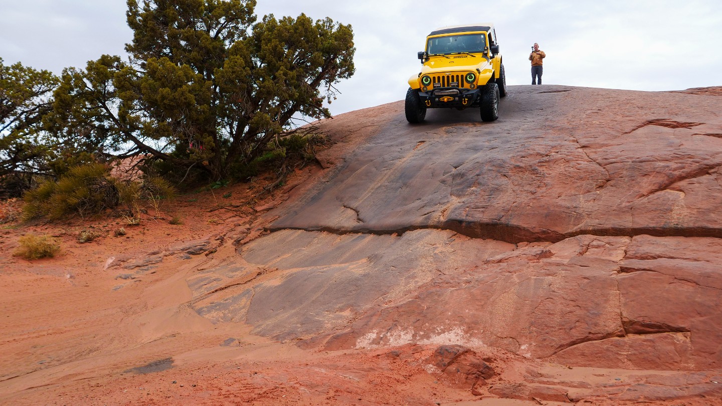
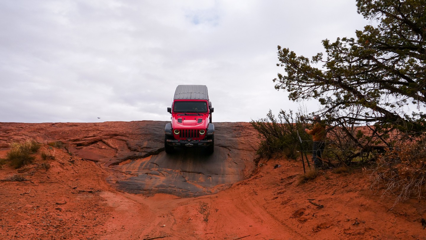
Your first exit down is the second hardest option, with the middle being the easiest and the last option, which is straight ahead, is the hardest. Note: The Trails Offroad Guide follows the first exit down and measured at a 37° angle.
13. Non-Optional Steep Drop (1.55 mi)
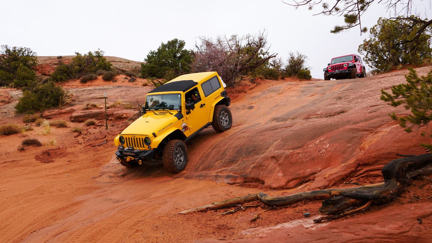
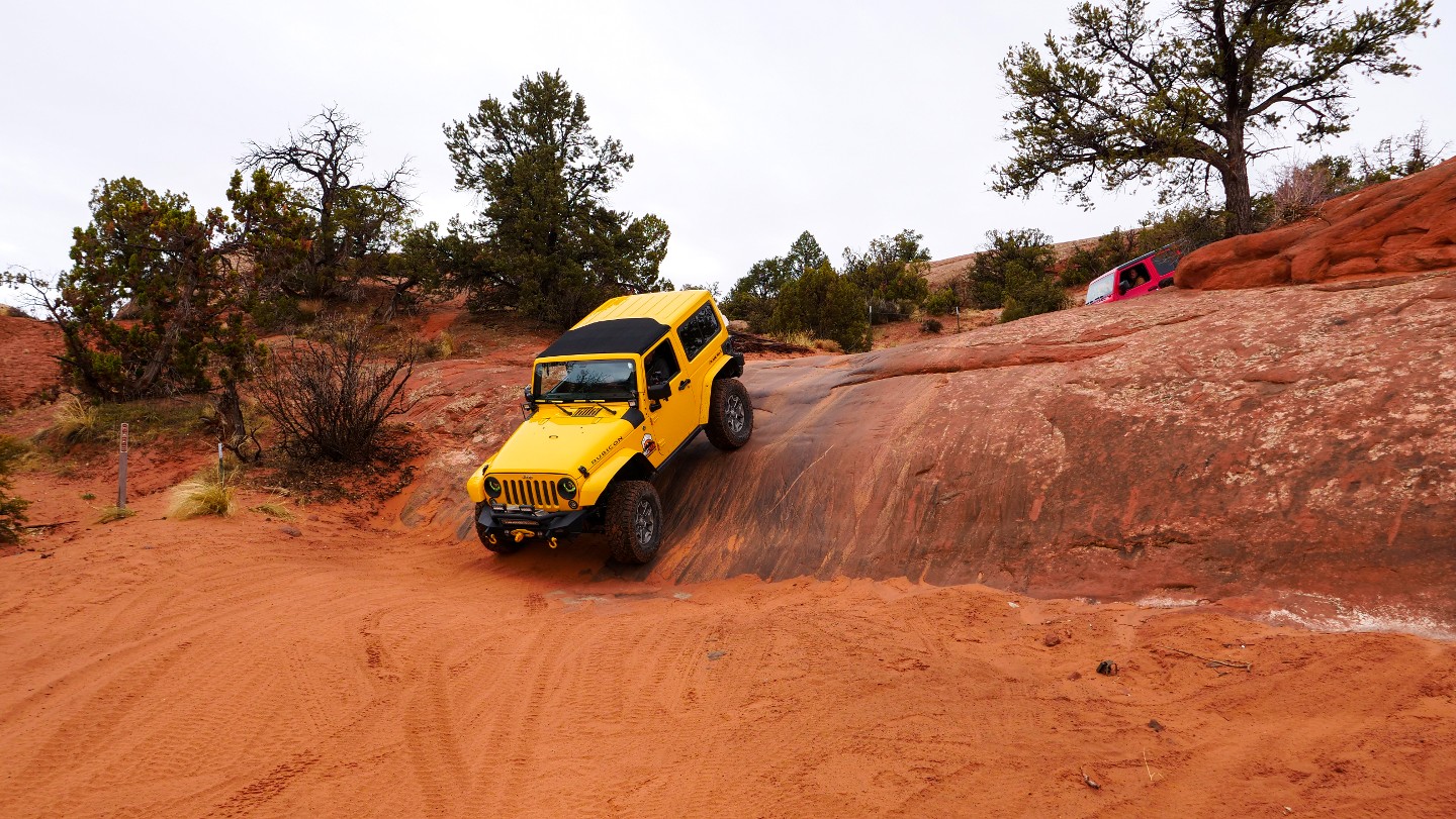
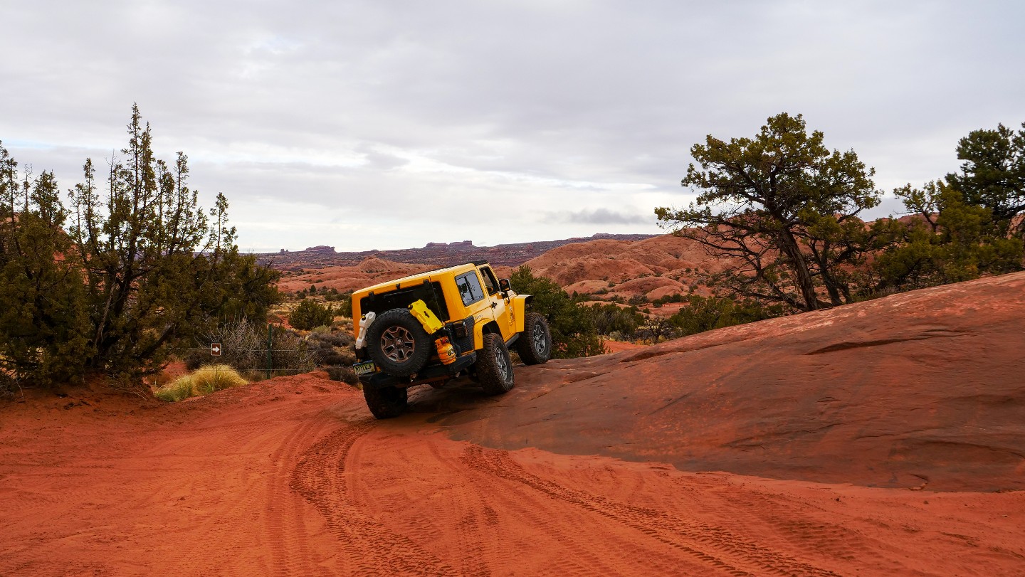
A sandy, short and steep drop is non-optional. Pick and choose your approach based on your skill level.
14. Camp Loop F and Exit to Sand Flats Road - Stay Right (2 mi)
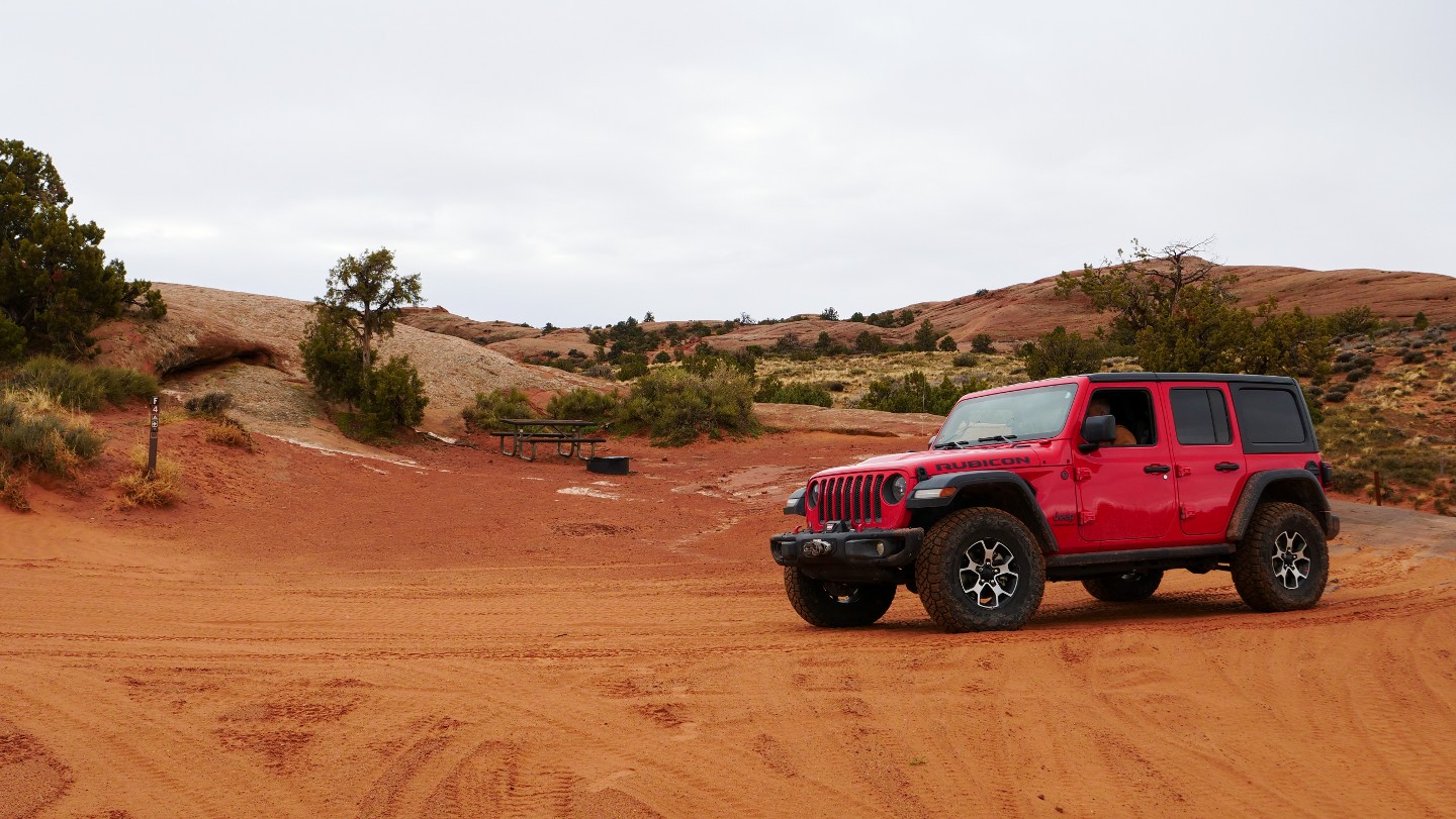
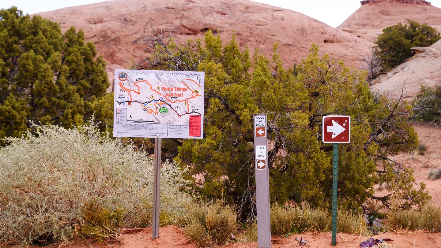
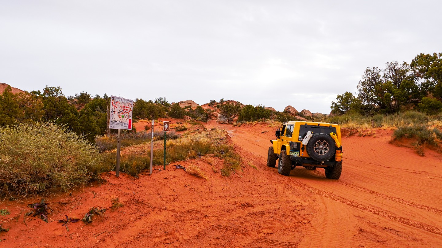
Continue right as you enter the Sand Flats Camping Loop F. There is an exit to Sand Flats Road to the left. You will find vault toilets in the camping area.
15. Alternate Route (The Wall) - Stay Left for Main Trail (2.04 mi)
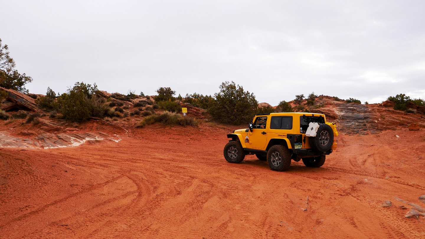
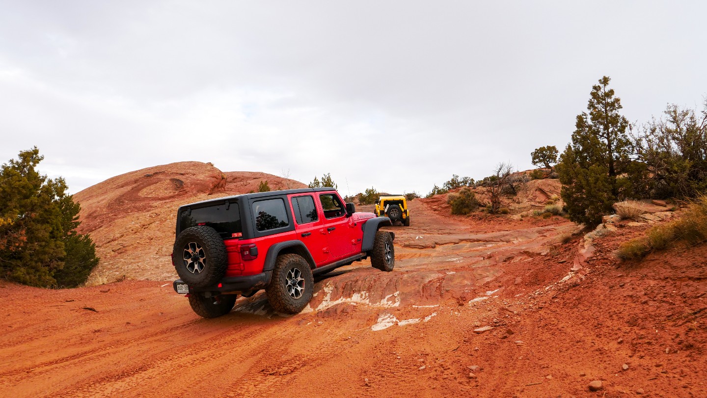
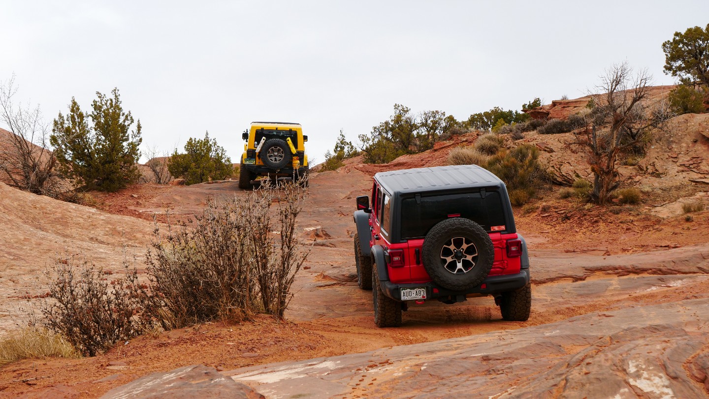
Stay left to follow the main trail, or continue straight to take The Wall, which provides more action in an undulated hill climb.
16. The Wall Exit and Hill Climb (2.09 mi)
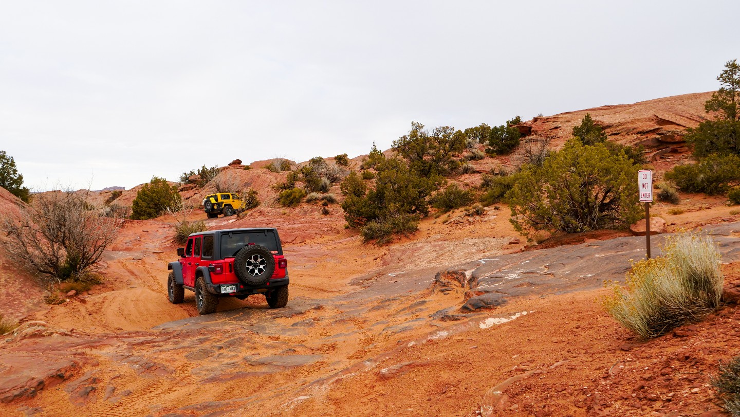
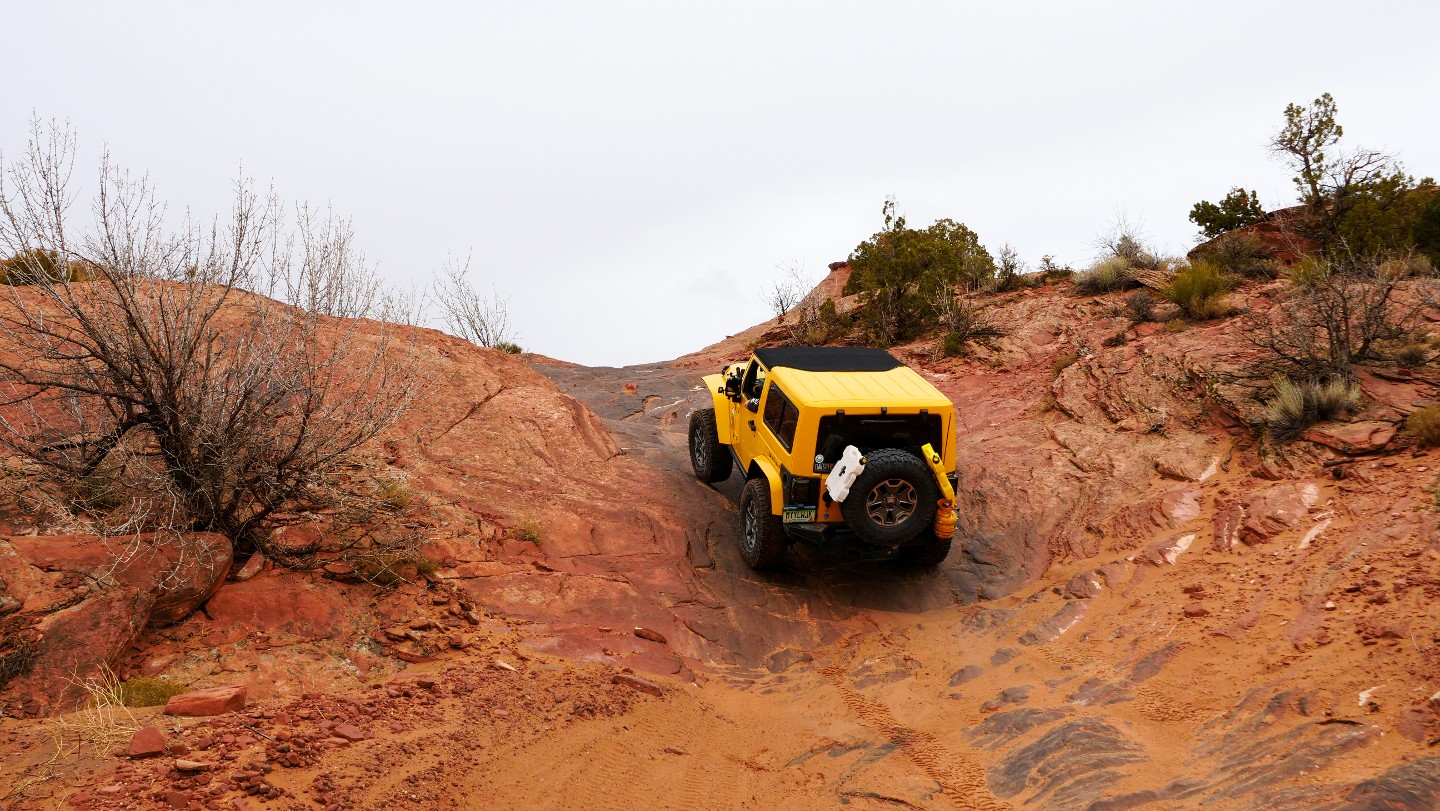
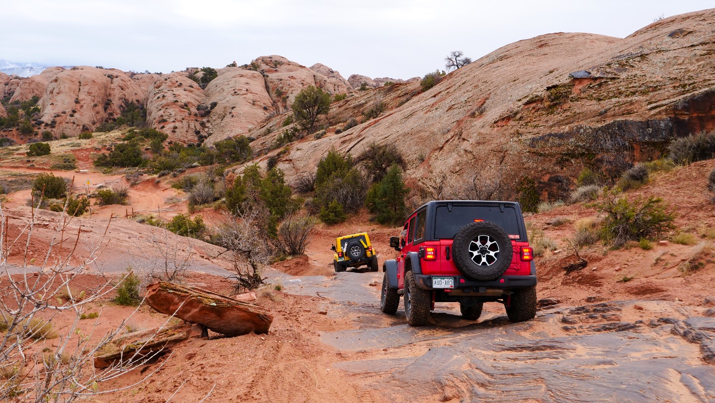
You will pass the one-way exit of the Wall before climbing a series of hill climb and descent obstacles.
17. Camp Loop "H" and Alternate Exit - Stay Right (2.3 mi)
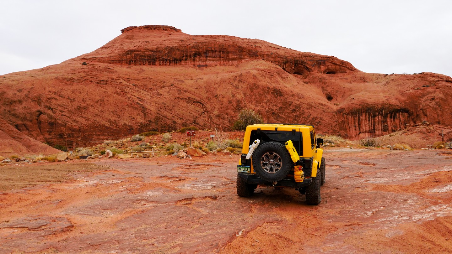
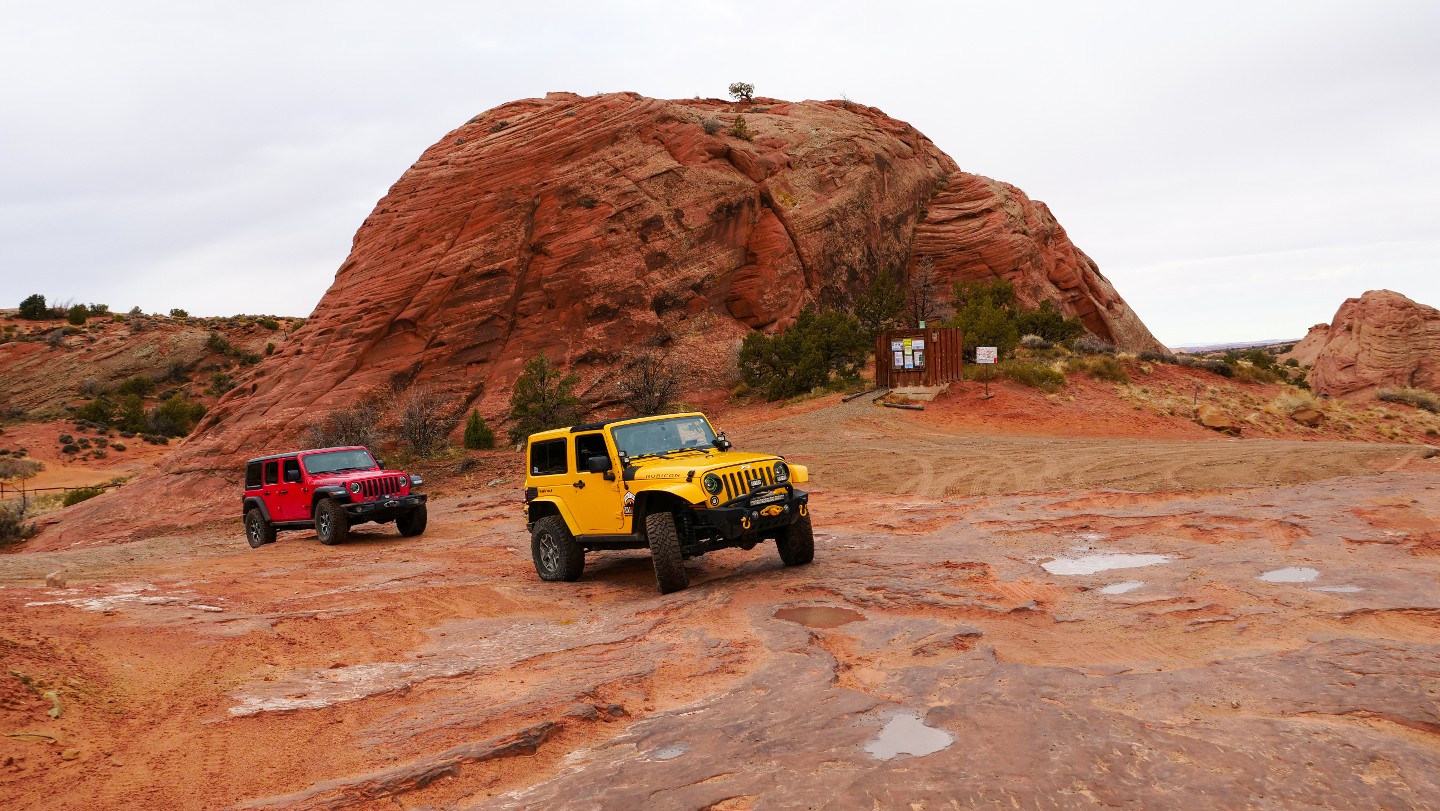
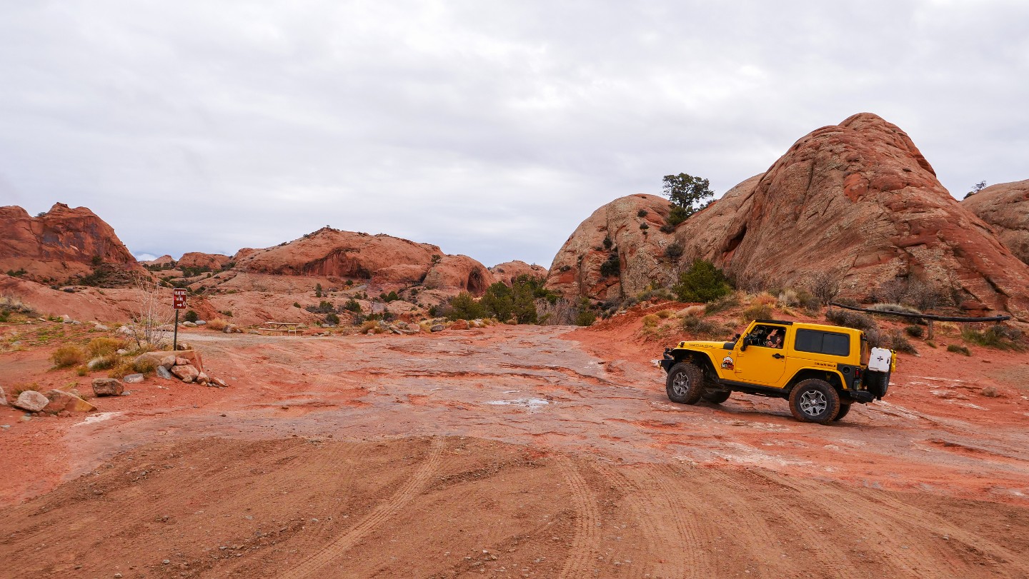
Stay right to follow the main trail and the more exhilarating way to Sand Flats Road. Vault toilets are in the area.
18. Sand Flats Road - Turn Right (2.51 mi)
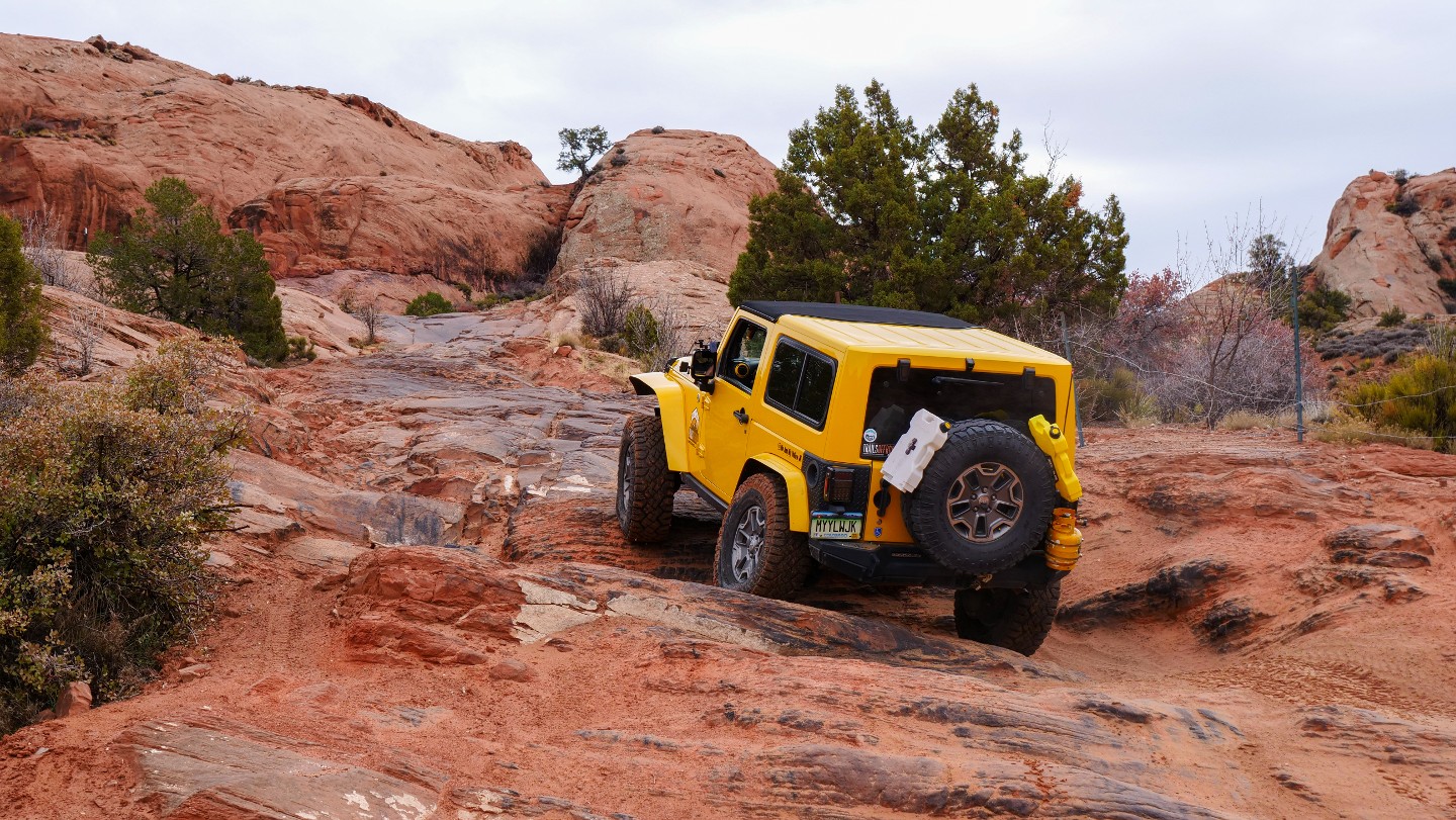
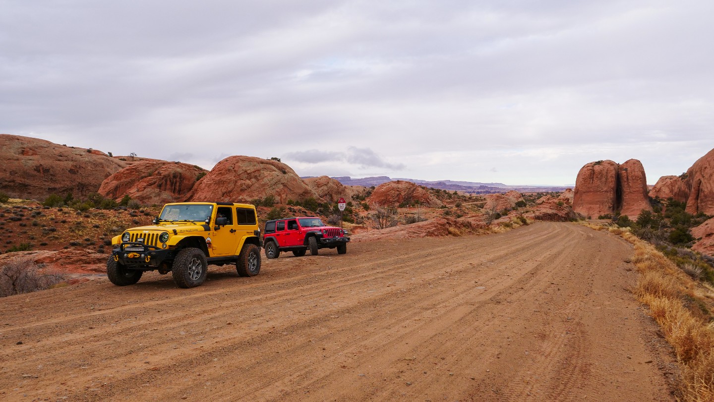
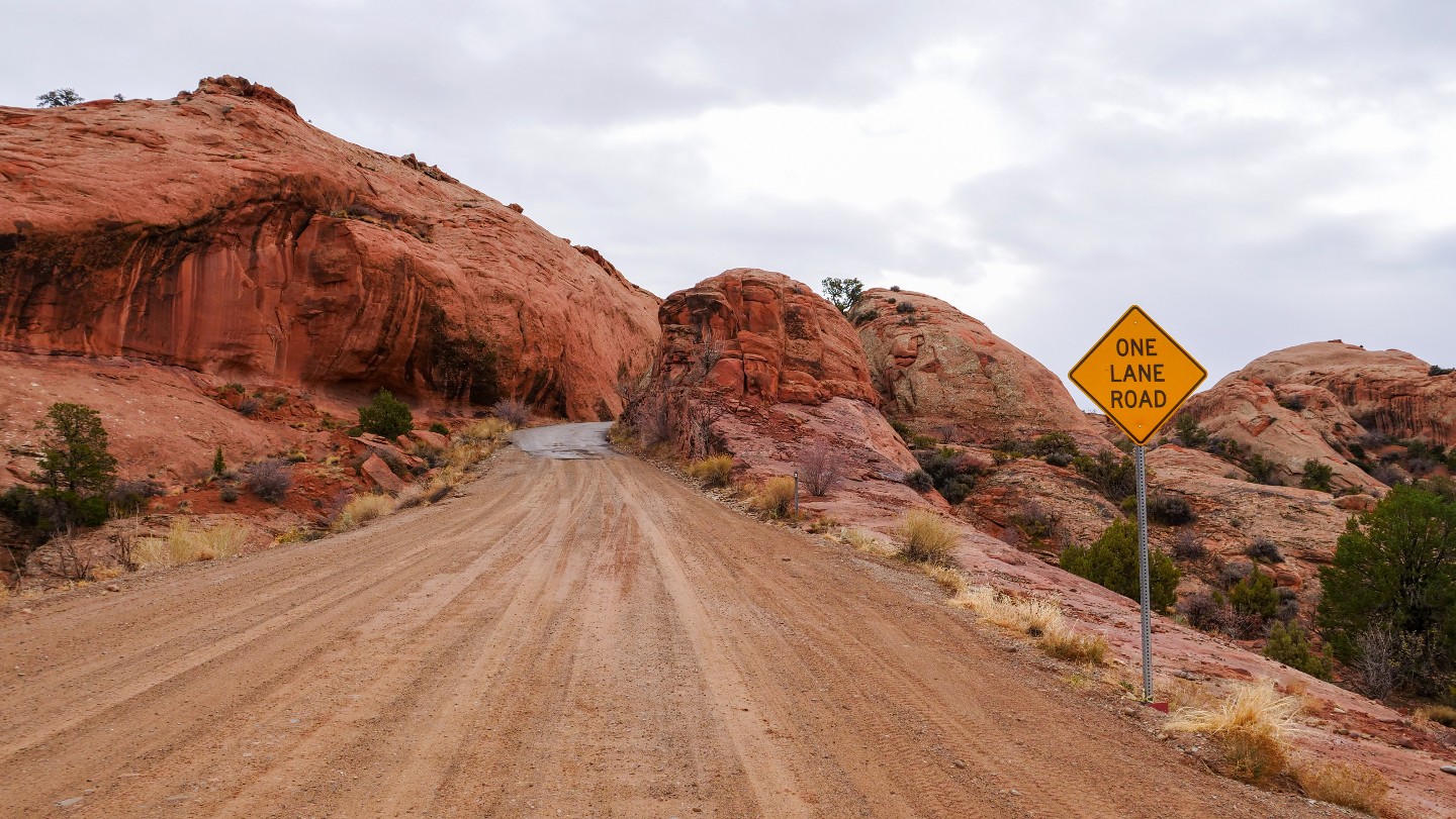
Before reaching Sand Flats Road, you will have a fun undulated climb up and out of the camping area. Steady 4low and sway bars disconnected will be helpful. Turn right on Sand Flats Road.
19. North Section Trailhead - Turn Left (3.4 mi)
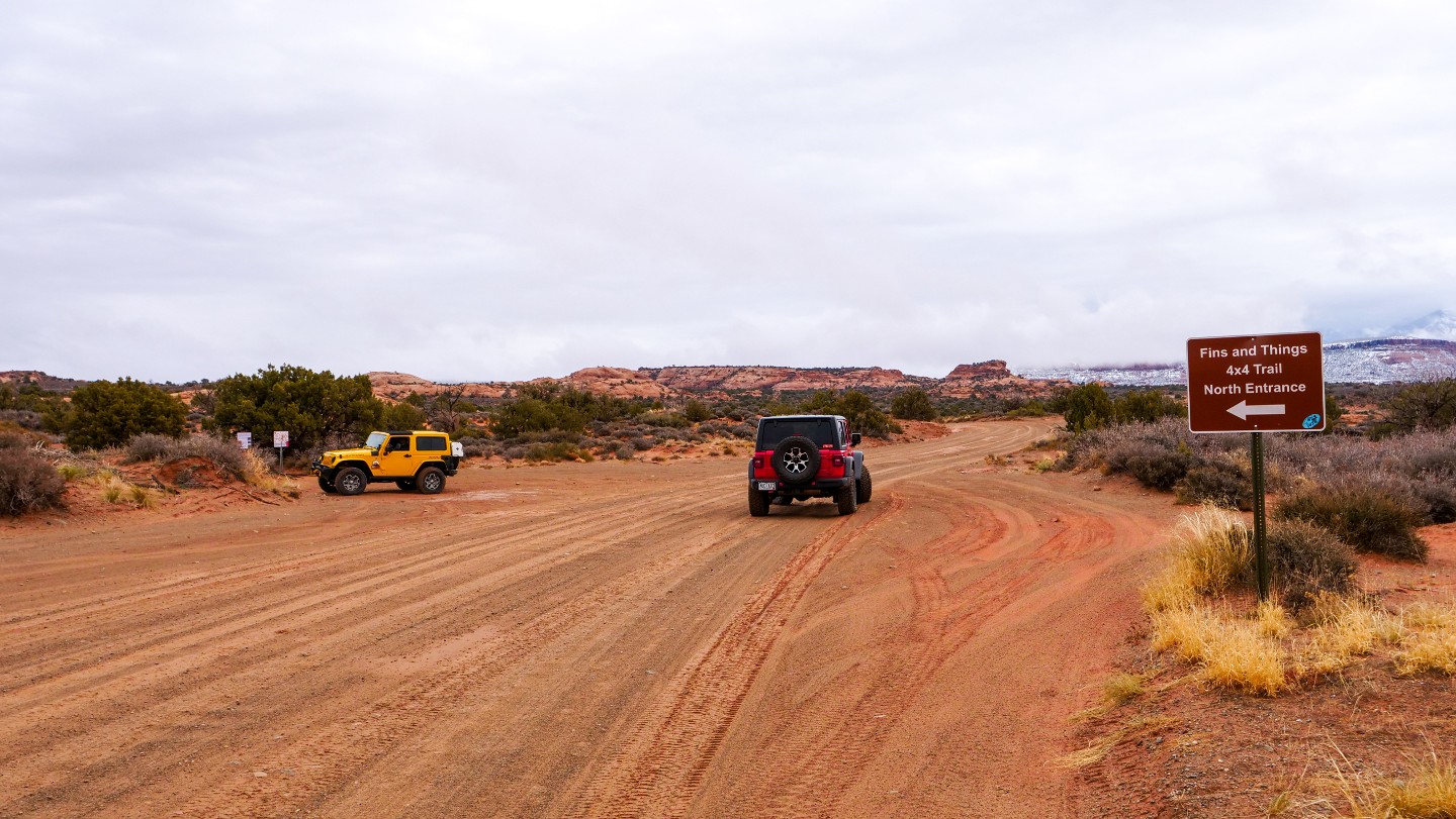
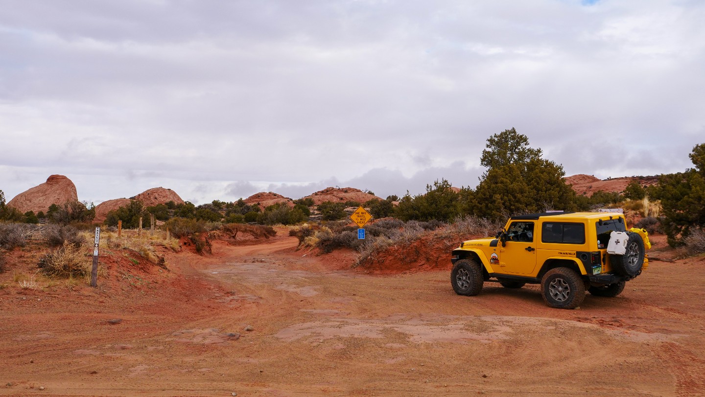
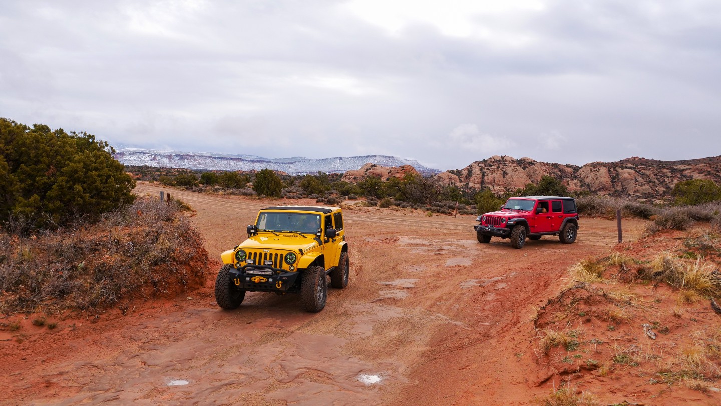
From Sand Flat Roads, turn left following the signs for the official route.
20. One-Way Alternate - Continue Straight (3.58 mi)
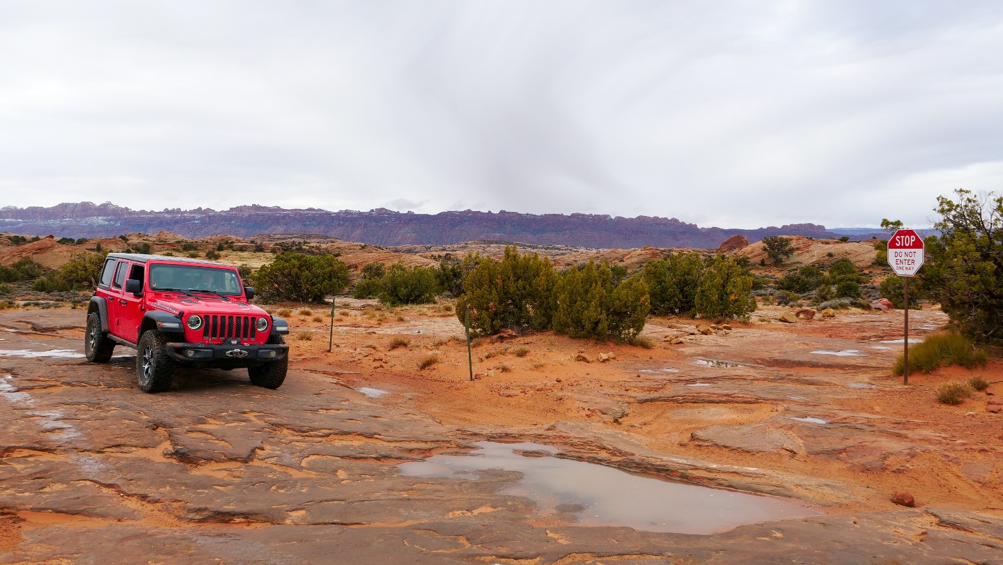
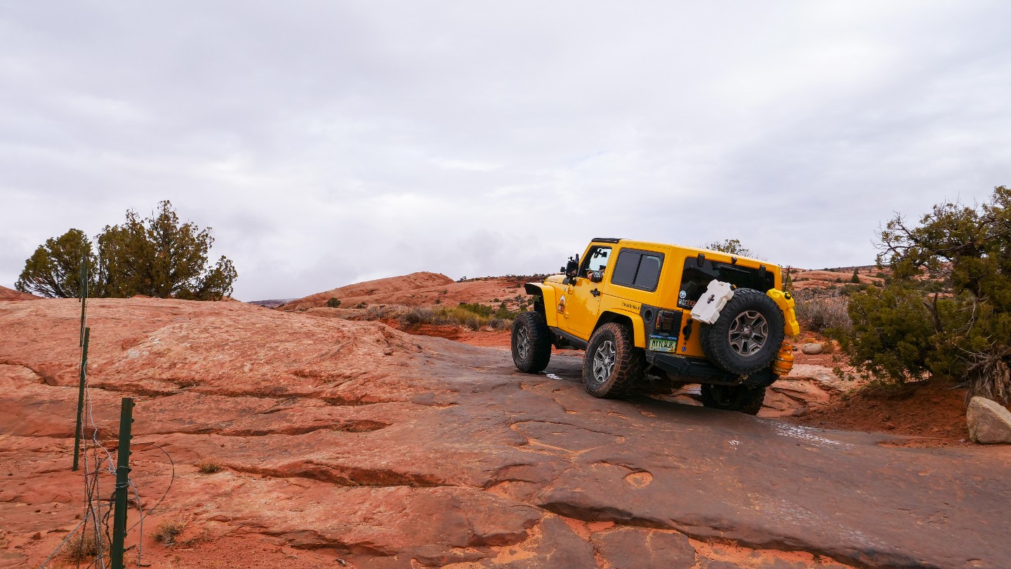
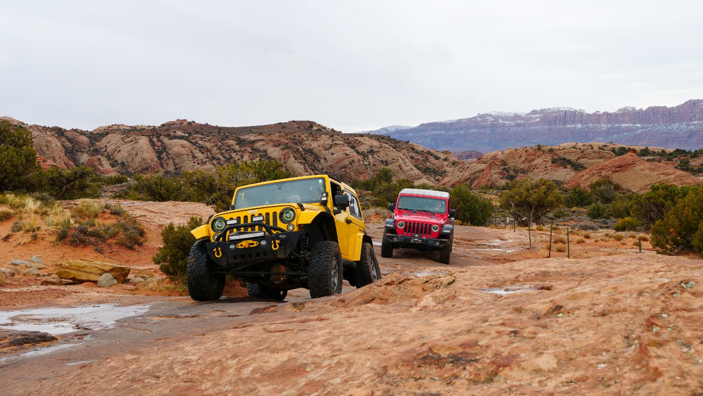
You will enter here if you turned onto the northern section before Waypoint 19.
21. Porcupine Rim Alternate - Stay Left (3.94 mi)
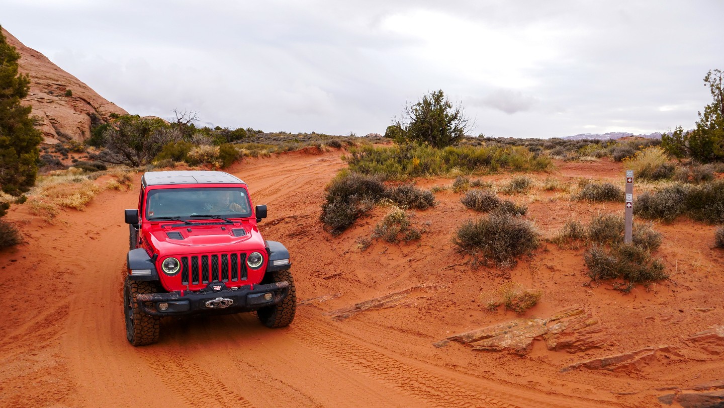
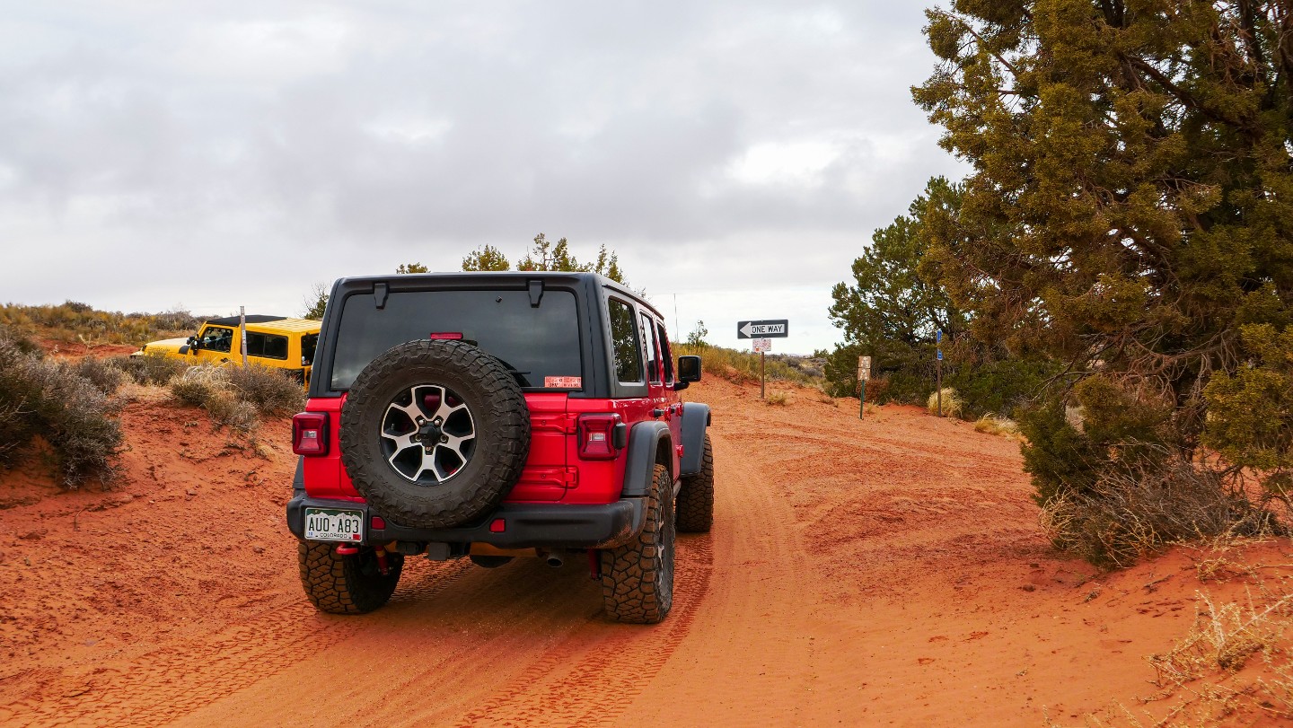
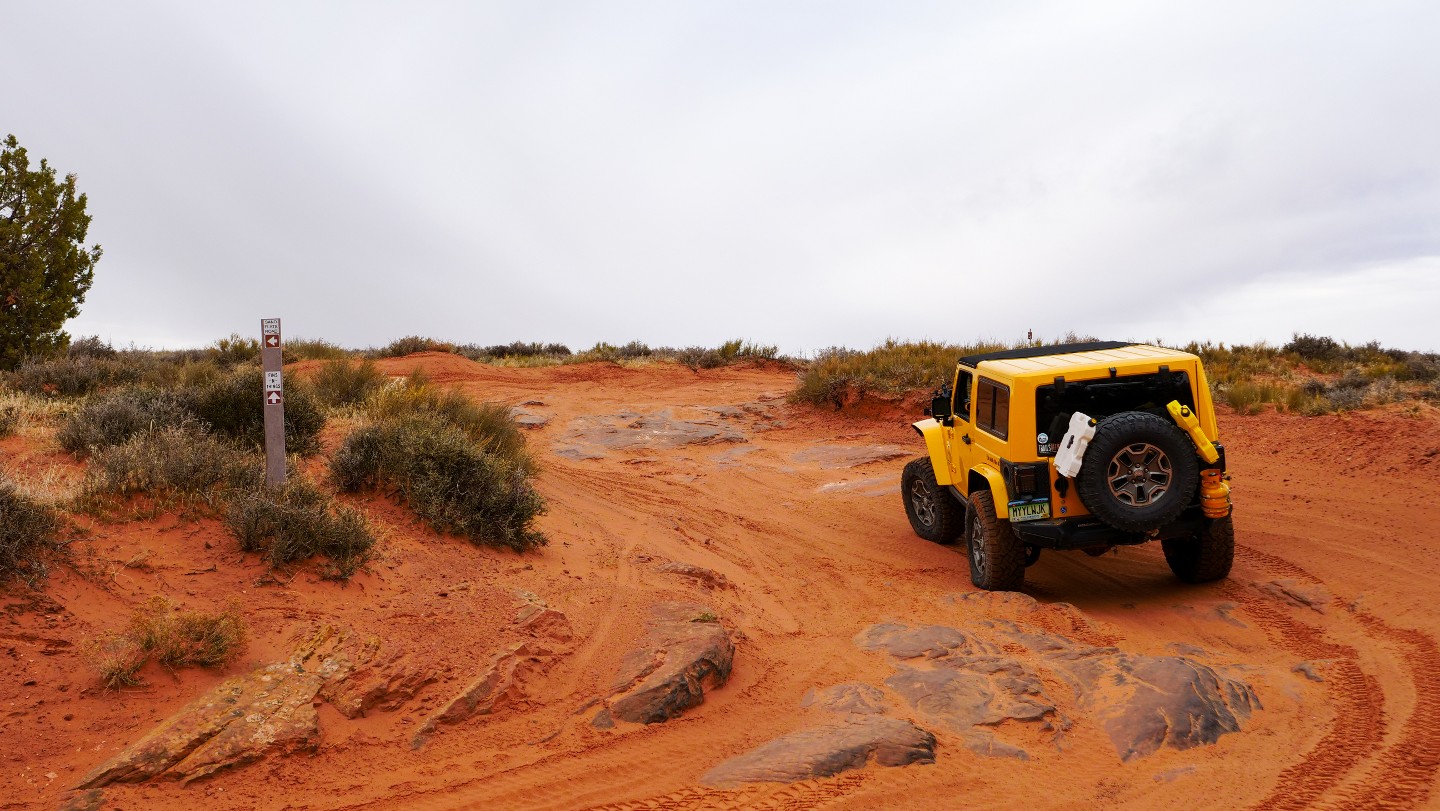
Stay left. Turning right will take you to Porcupine Rim
22. S Turn and Shelf (4.48 mi)
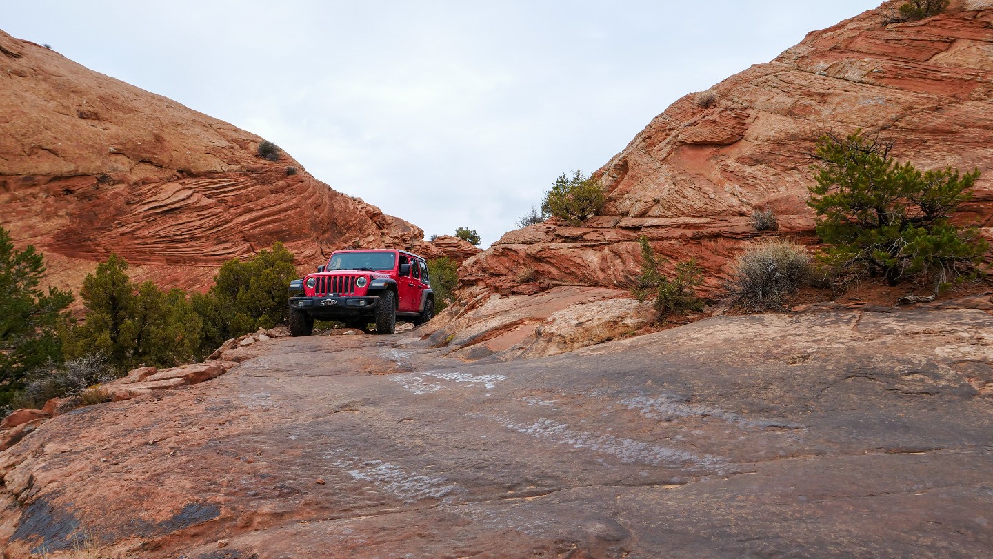
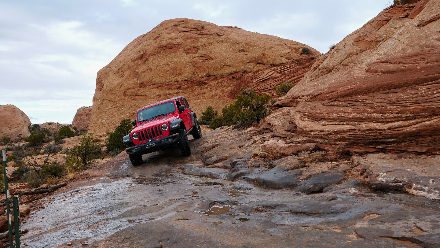
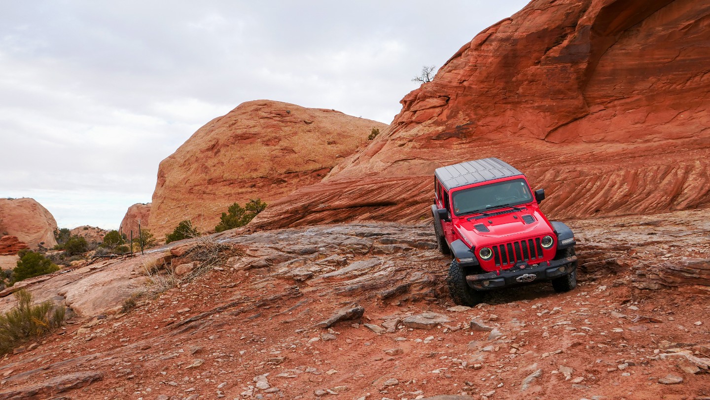
As you descend, you will wrap around a sandstone mound in the shape of an "S" turn. As you wrap around, the trail will turn downhill. You want to exercise caution as there is a hidden hole your tires can drop in, or you can overshoot the turndown down and take a bigger ledge than you bargained for.
23. Tricky Descent (4.71 mi)
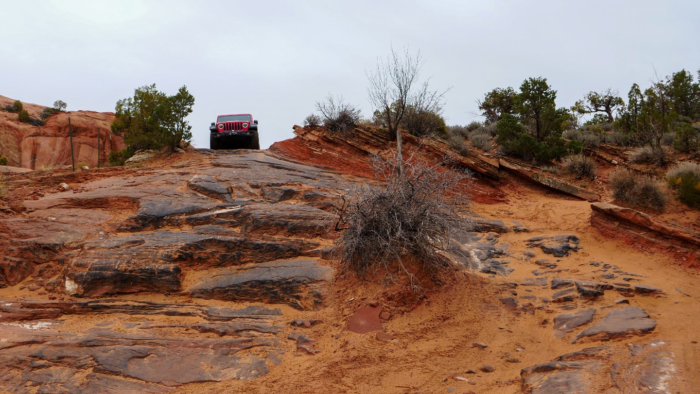
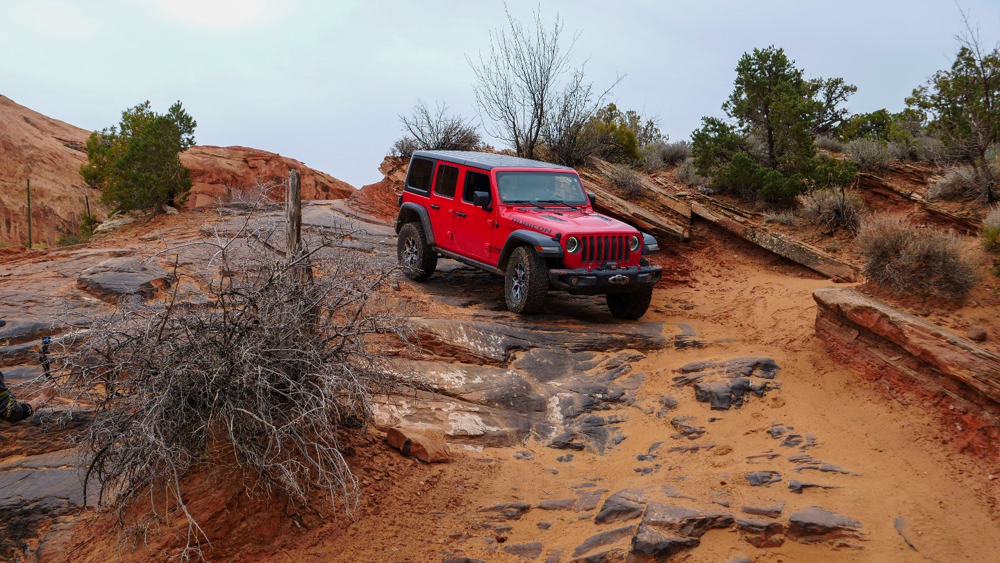
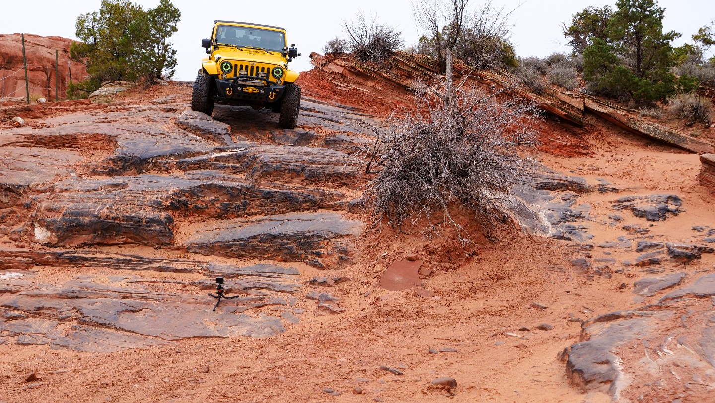
This descent you will want to survey before descending. Straight is the harder line with a 24" drop at the bottom, while the left line is smoother but slightly off-camber at the end.
24. Optional Overlook and Lunch Spot (5.3 mi)
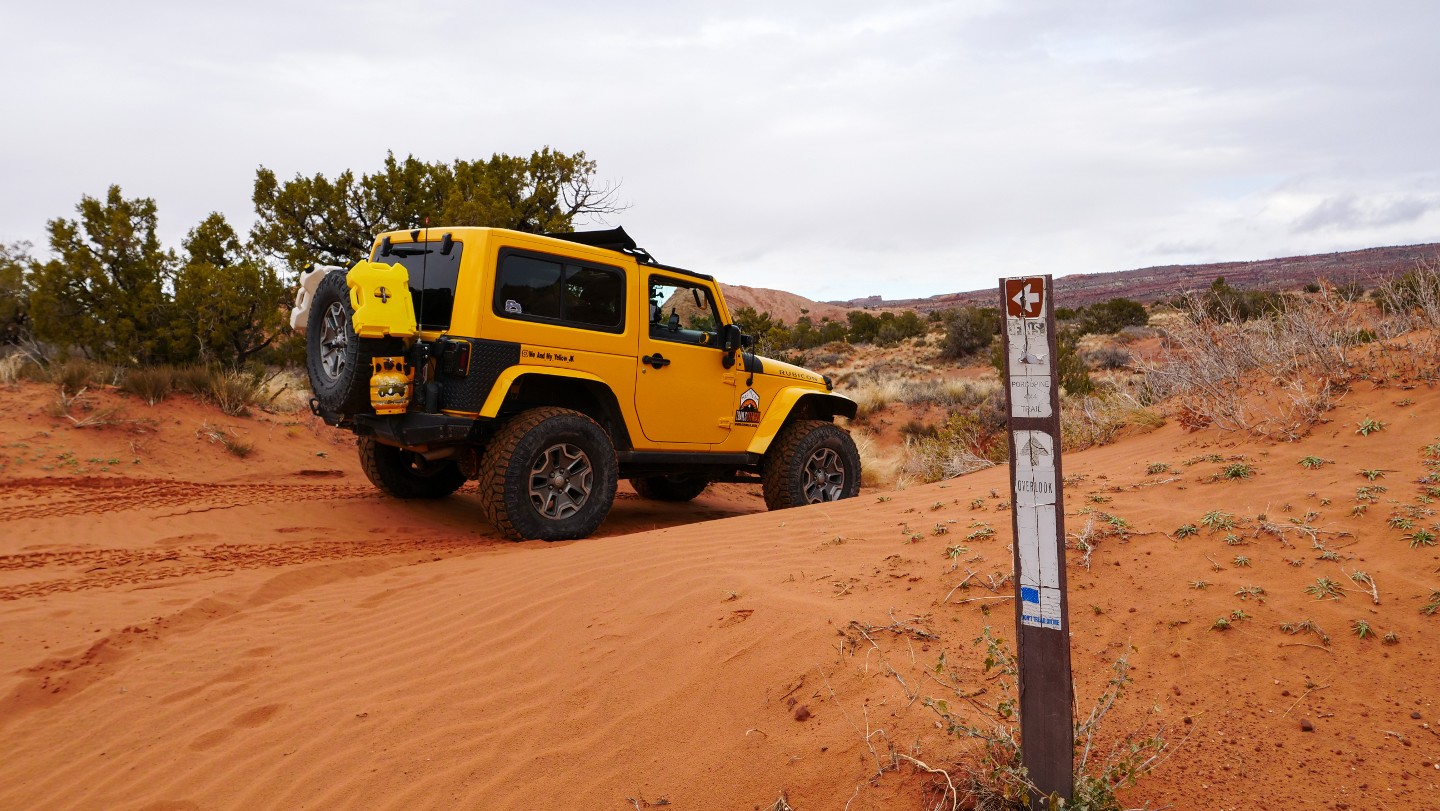
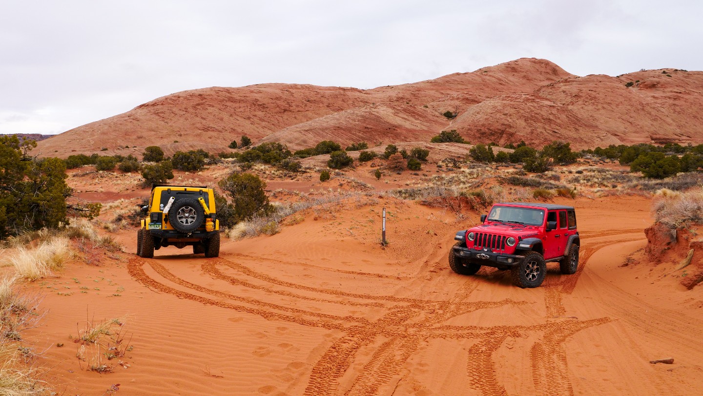
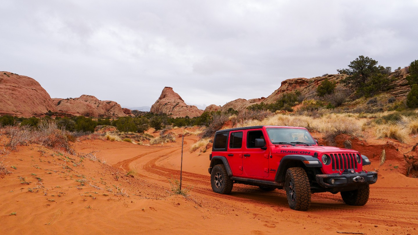
Continue straight for the main trail. Turn right for the overlook, a great lunch location, and a good leg stretch. The lookout provides views of the Grandstaff Canyon Wilderness Study Area and is worth the quick side trip. Note that after high winds, this area could have deep sand.
25. Grandstaff Canyon Wilderness Study Area Overlook (5.79 mi)
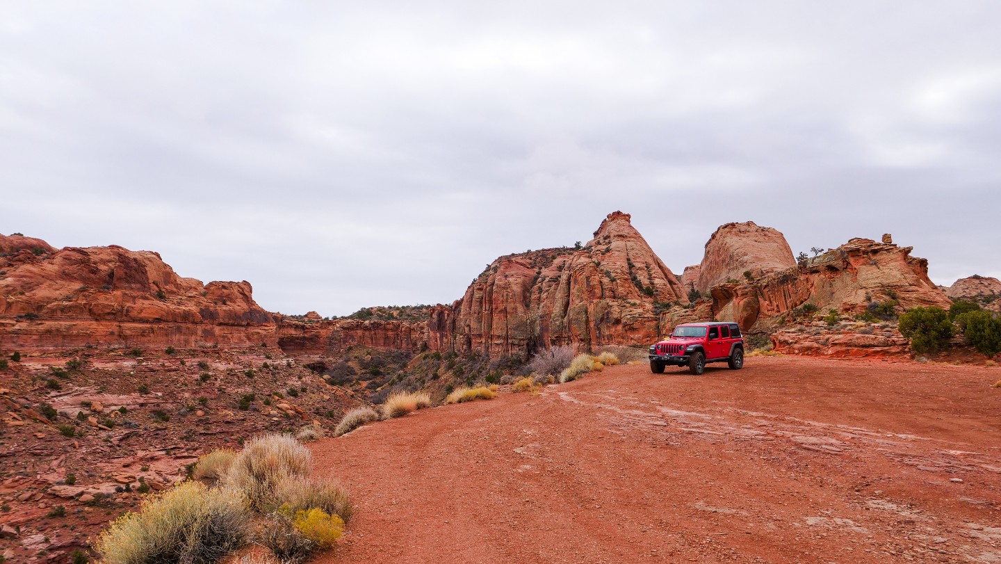
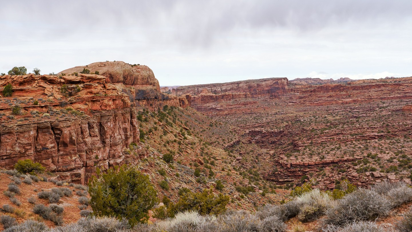
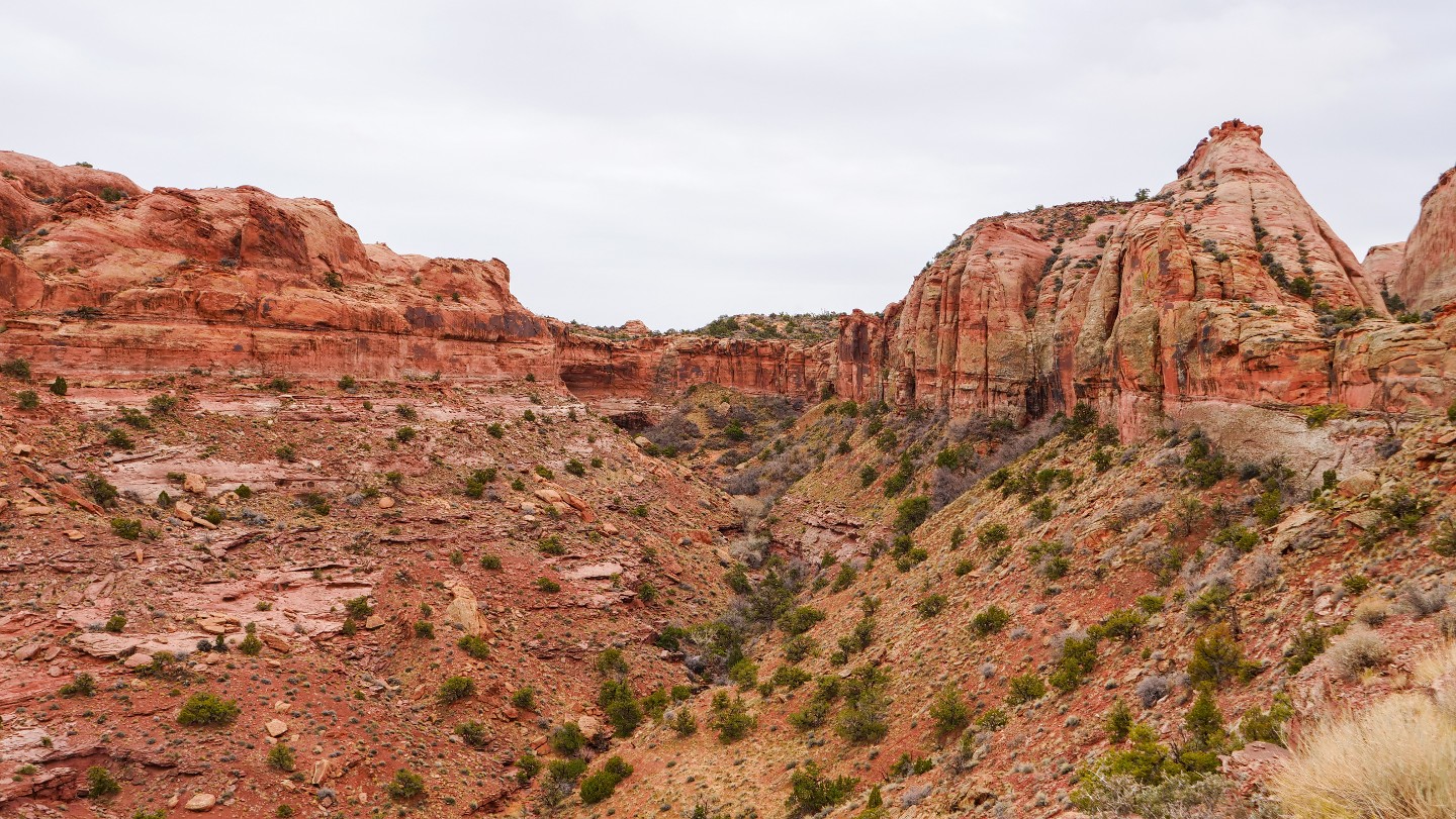
You are looking at the far southern edge of the Grandstaff Canyon Wilderness Study Area. If you are into hiking, the area offers incredible hiking opportunities. Return the way you came.
26. Alternate Exit - Stay Right (6.46 mi)
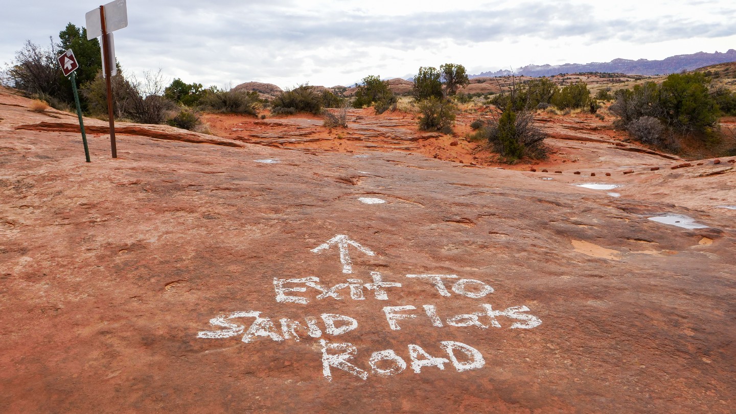
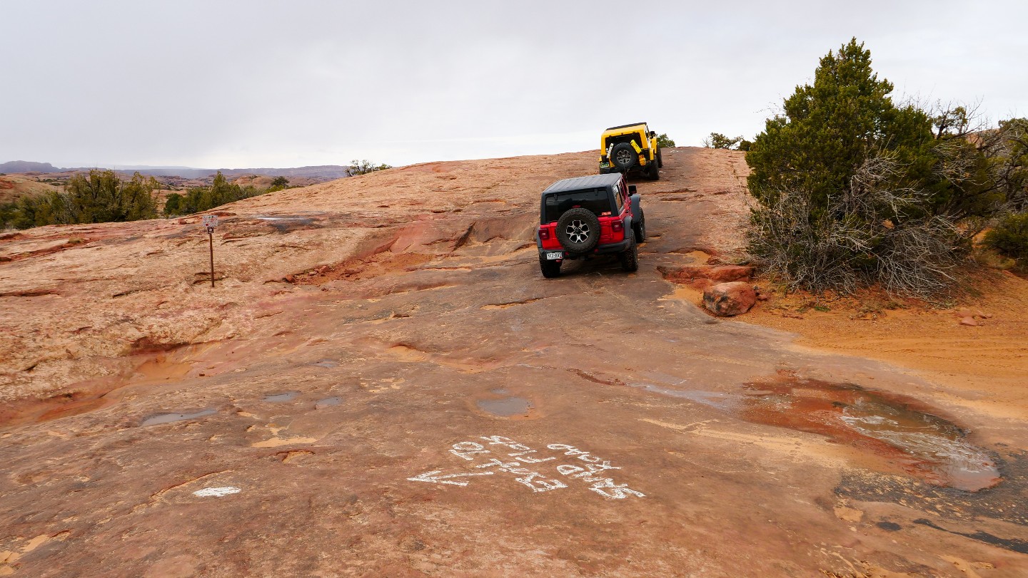
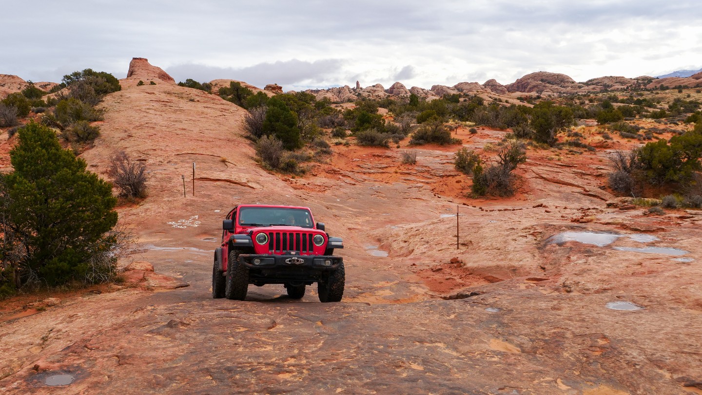
Stay right and climb the fin uphill. Turning left onto the alternate is a quick exit to Sand Flats and would be considered much easier than the main trail.
27. Hill Climb - Elbow Right (6.59 mi)
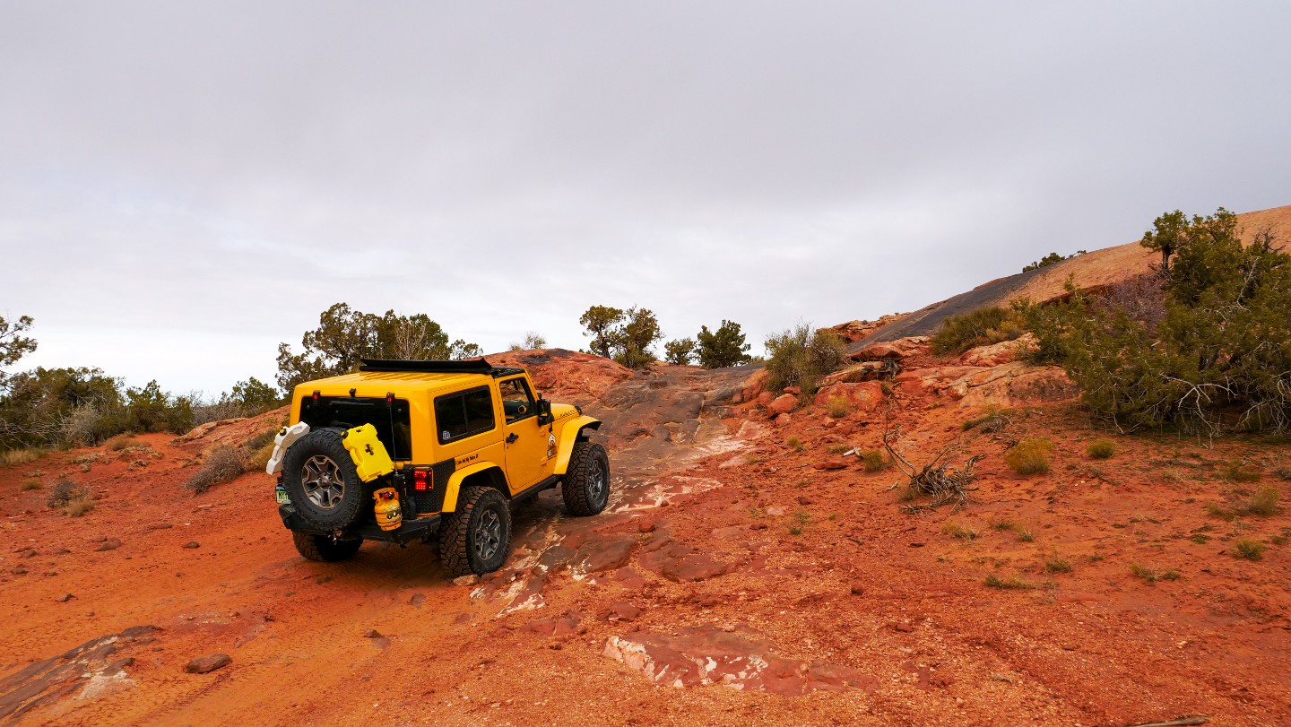
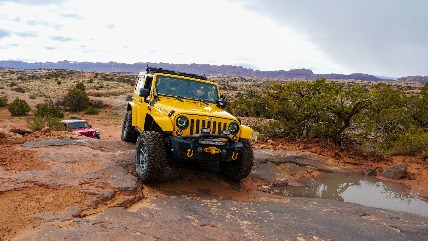
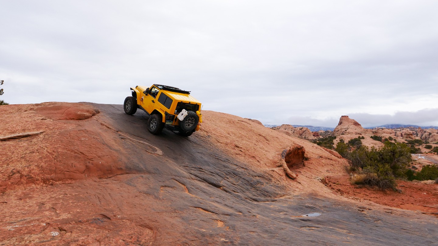
This is an excellent example of the limbs where you can't see the top. It's wide up top, but as you climb the multi-level hill, you will elbow to the right. When in doubt, follow the black marks.
28. Steep Pitch Down (7.18 mi)
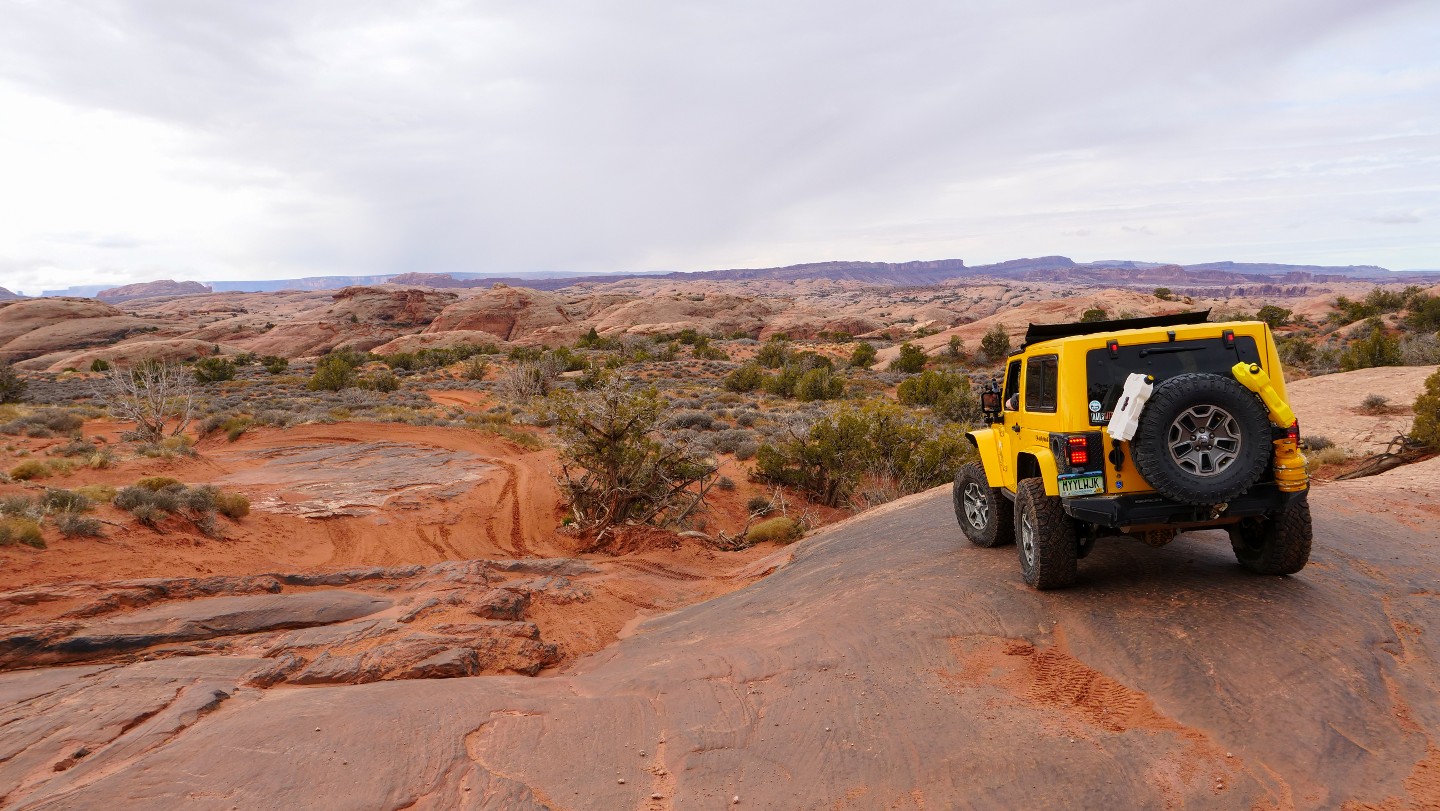
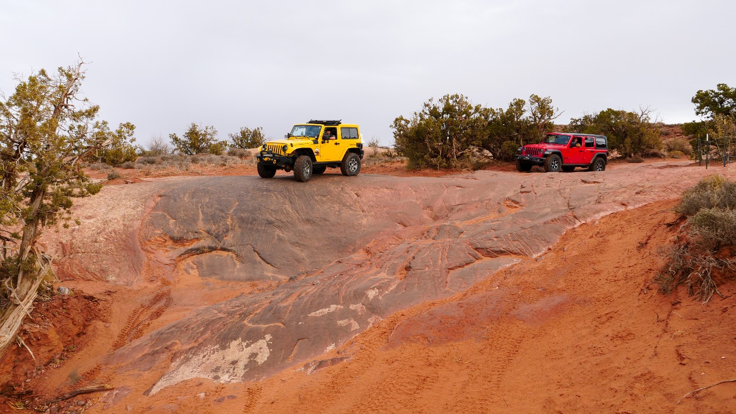
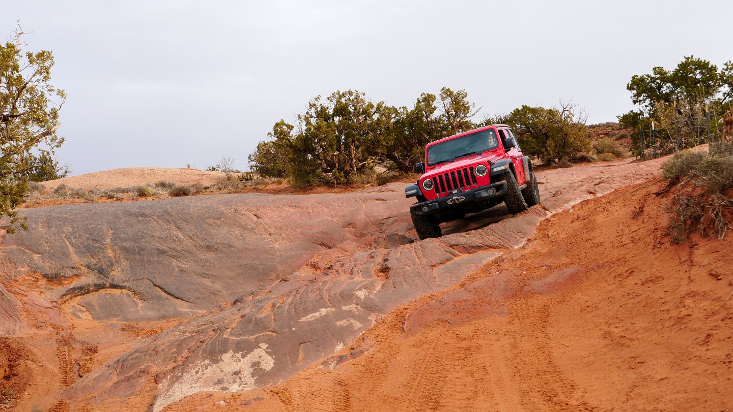
Your instinct will tell you to follow the smooth rock down, however, that is the harder line Take the inside line on the turn over the undulated rock for the easier option.
29. Brontosaurus Rock and Lunch Spot (7.6 mi)
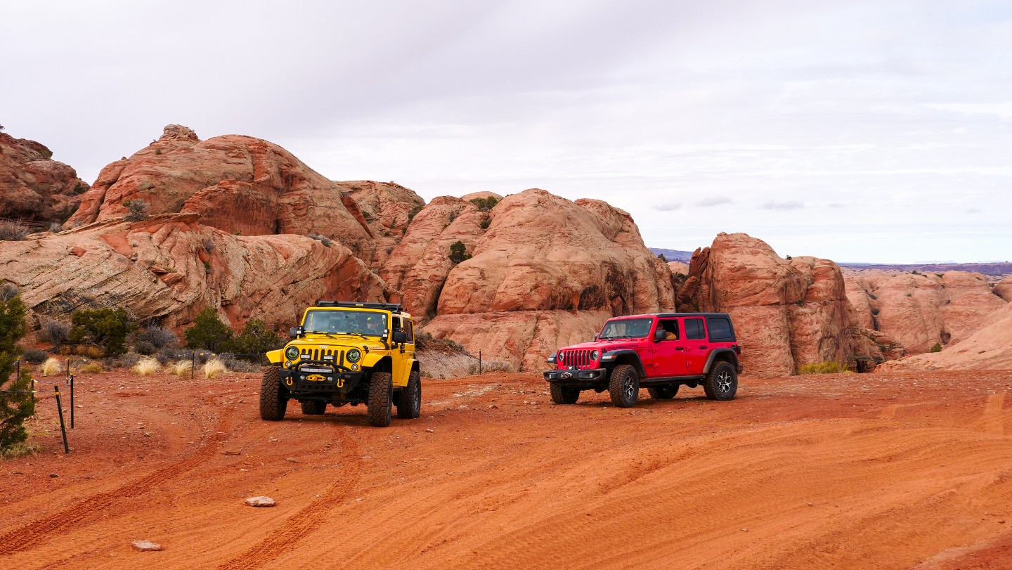
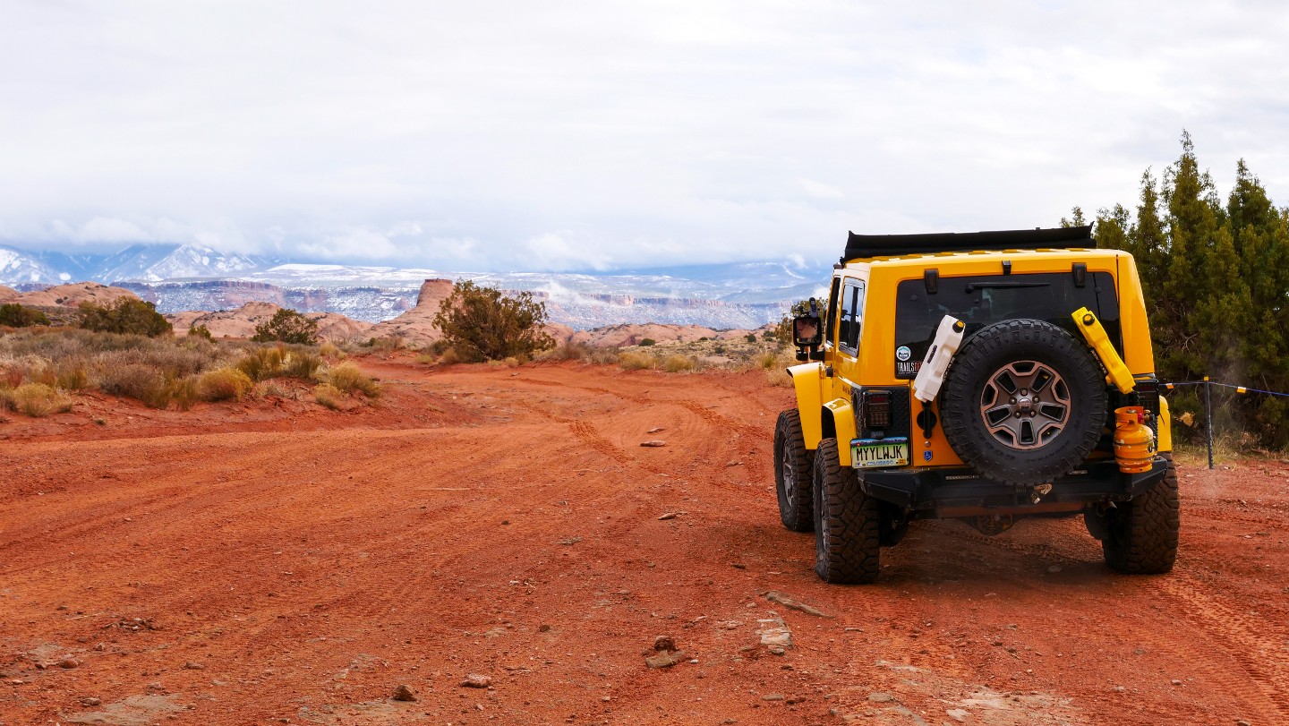
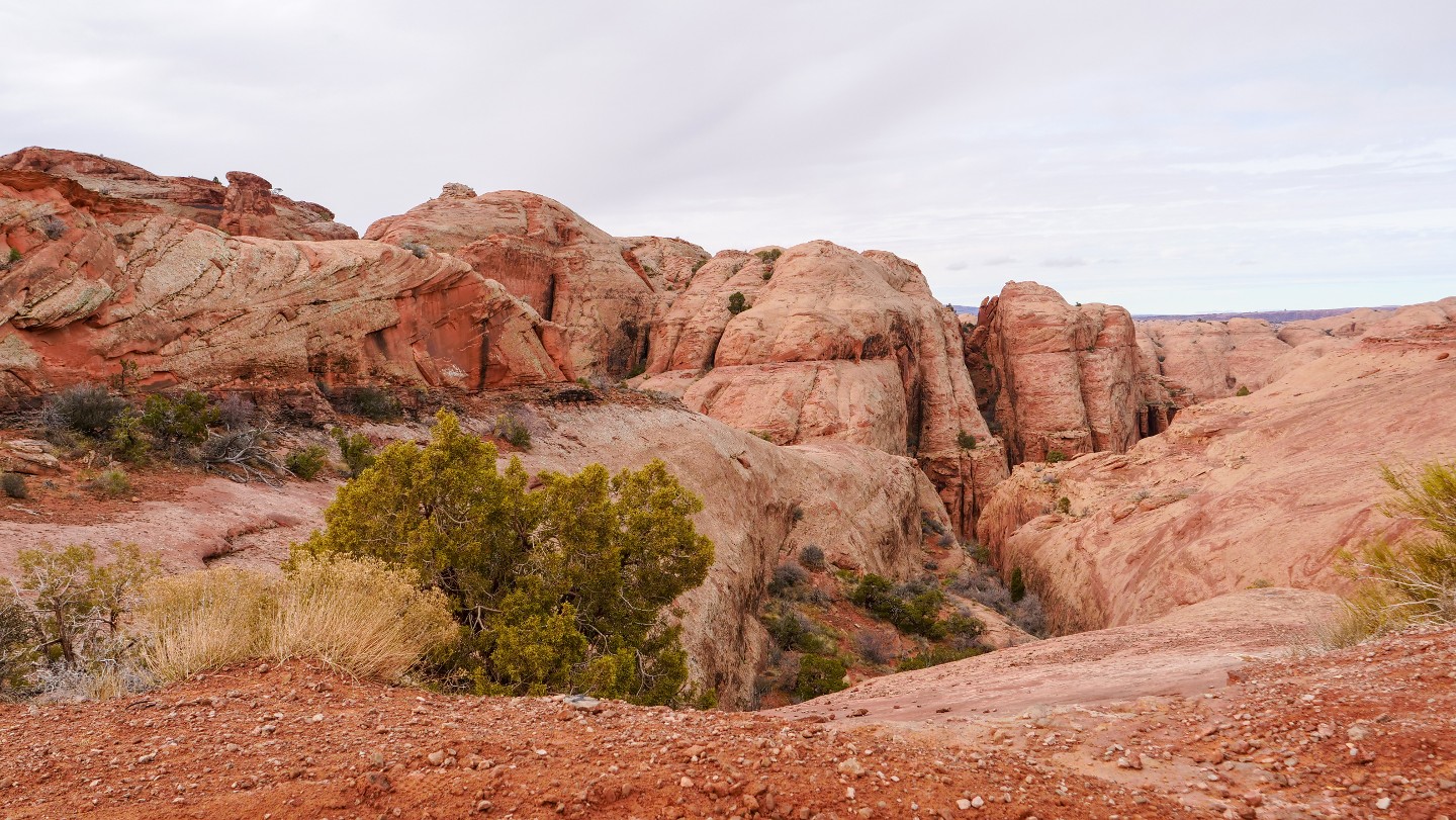
As you approach the wide open space, look the wall south for the Brontosaurus-looking imprint in the wall. It is a rock formation that looks like a dinosaur; it is fascinating, to say the least. If your group is getting hungry and missed the lunch spot at Waypoint 25, this is a nice large spot to pull over for food and a leg stretch.
30. Two Hill Options (7.72 mi)
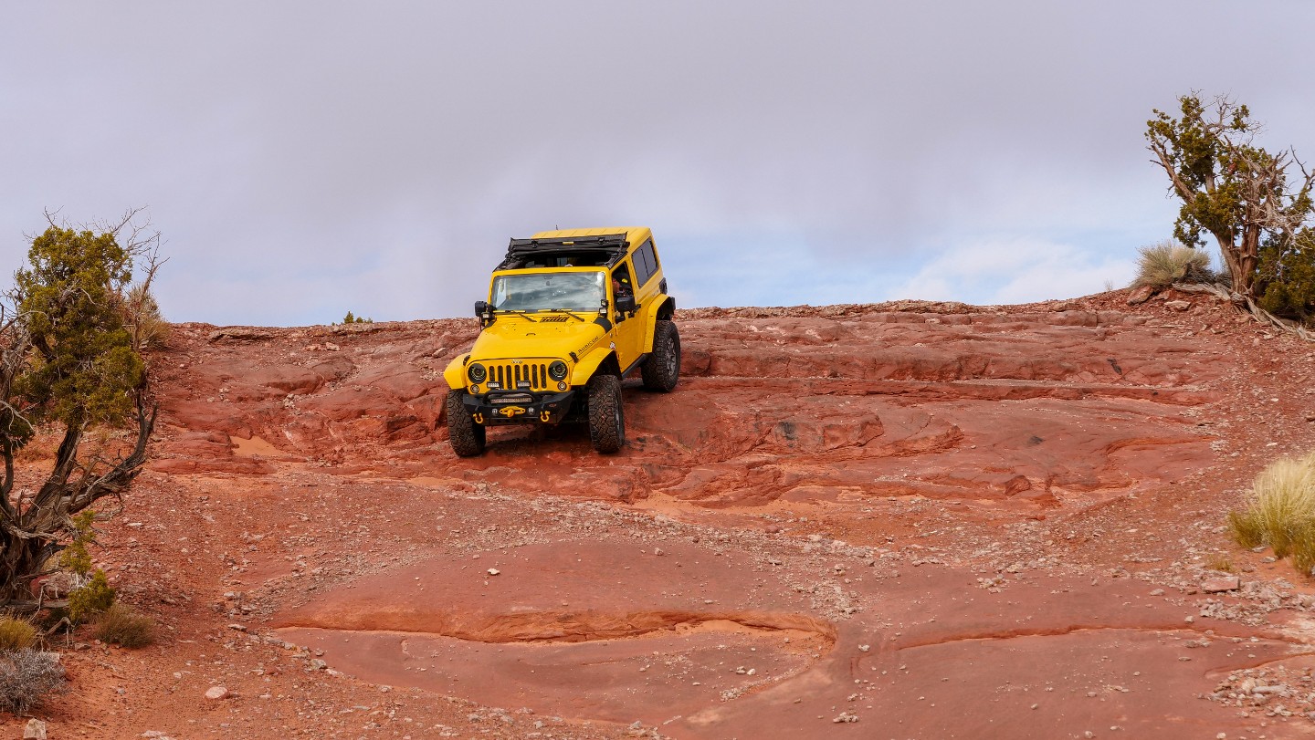
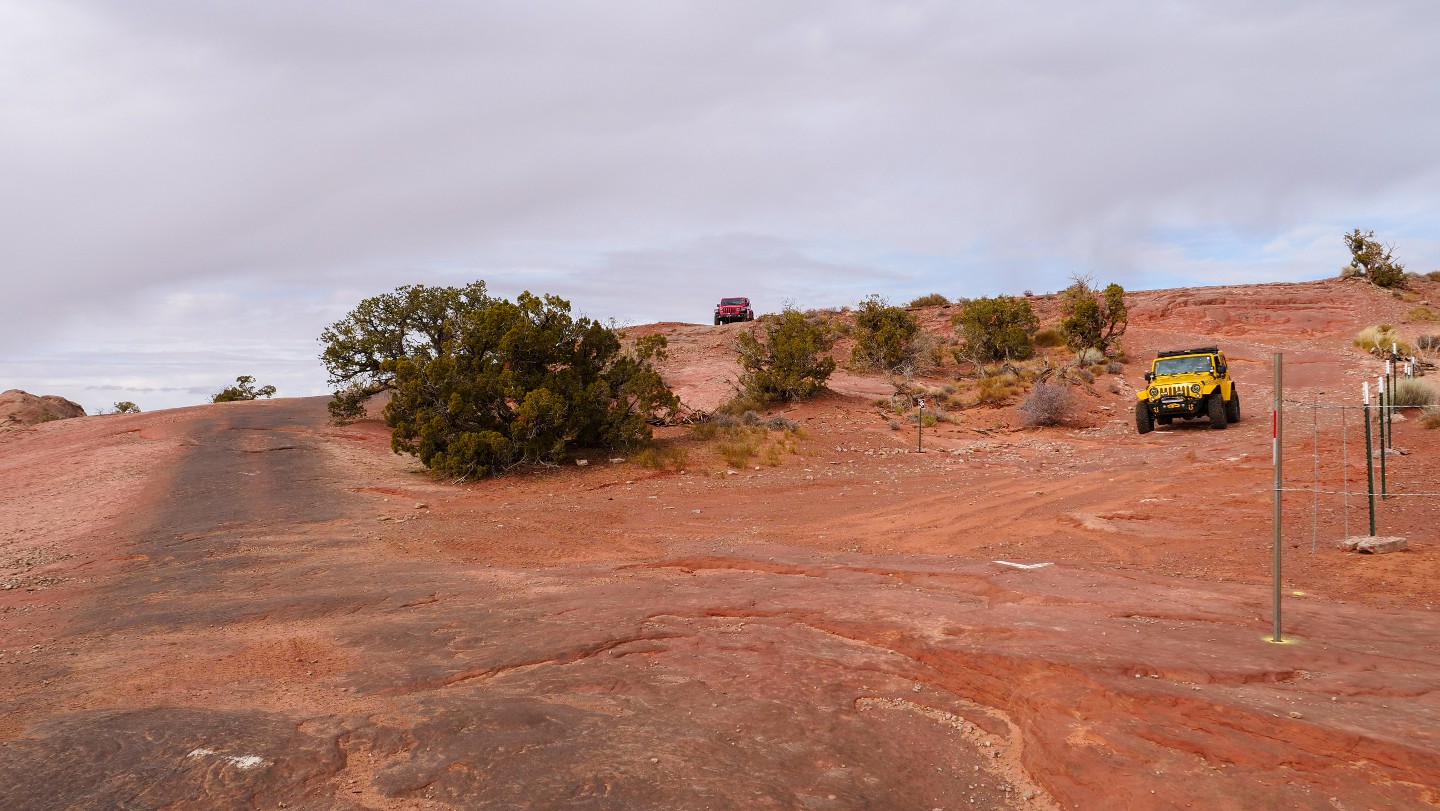
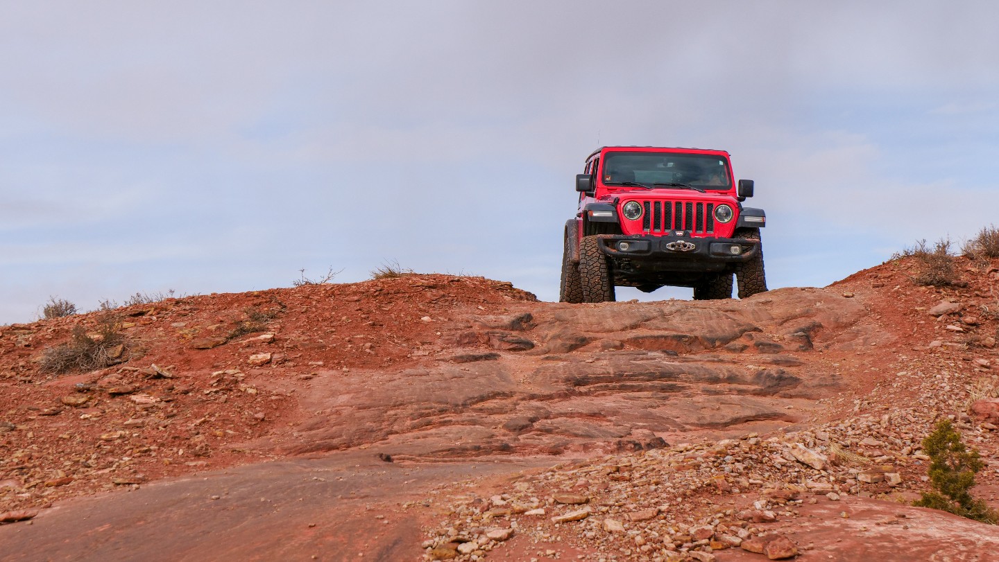
As you approach, the easier option down is the first descent; if you are looking for a more adventurous route, continue straight for about two vehicle lengths to tackle the shelved hill descent. Interesting to note that on March 27, 2021, members of the Red Rock Four Wheelers and a team from Jeep® devoted a Saturday afternoon to trail repair. The fences in this area are a result of their volunteer efforts. The fences were required to keep people on the trail. If there are just a couple of best practices we can do as an off-road community to help keep trails open, staying on the trail would be at the top of the list.
31. Optional Climb (7.87 mi)
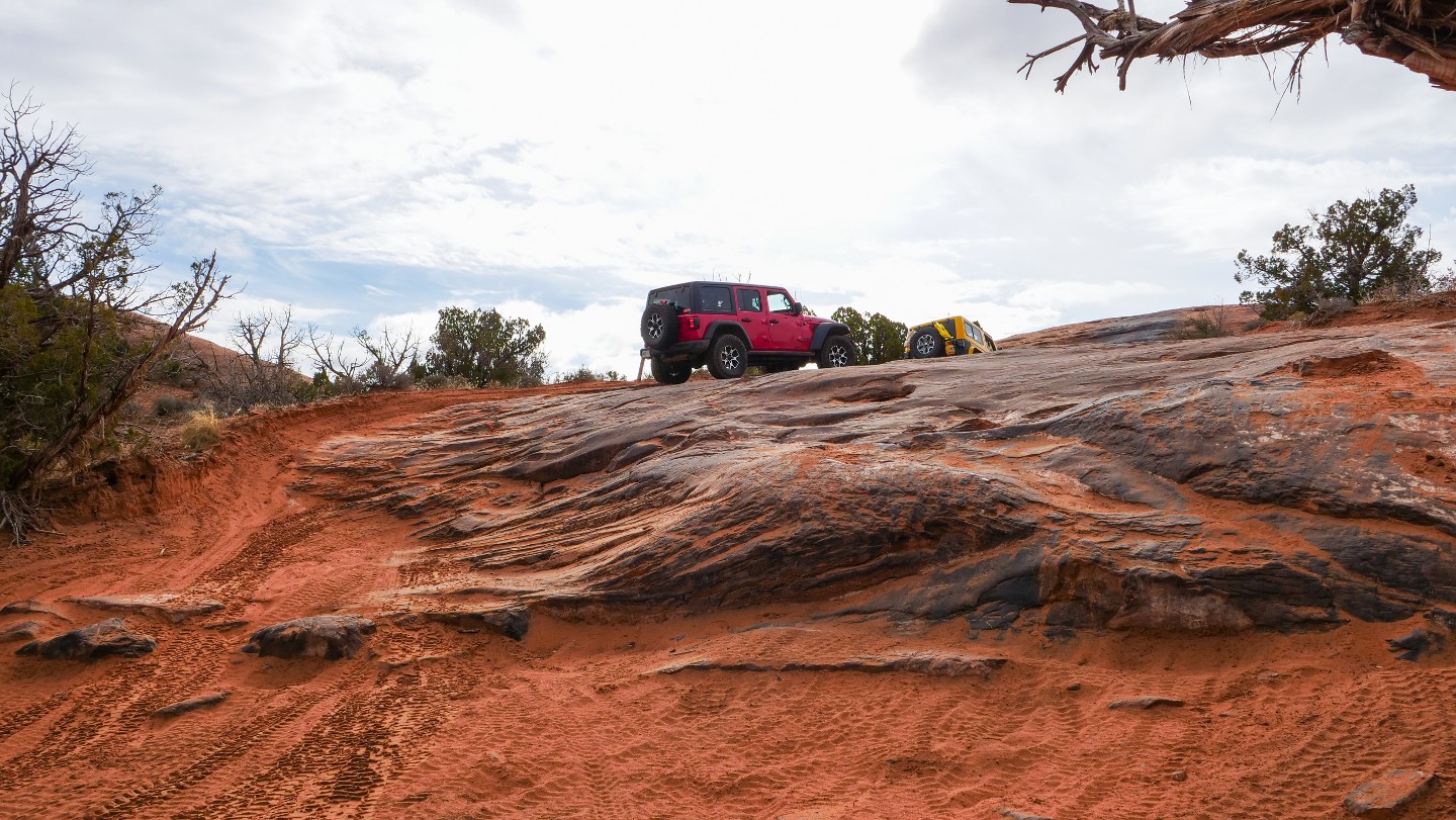
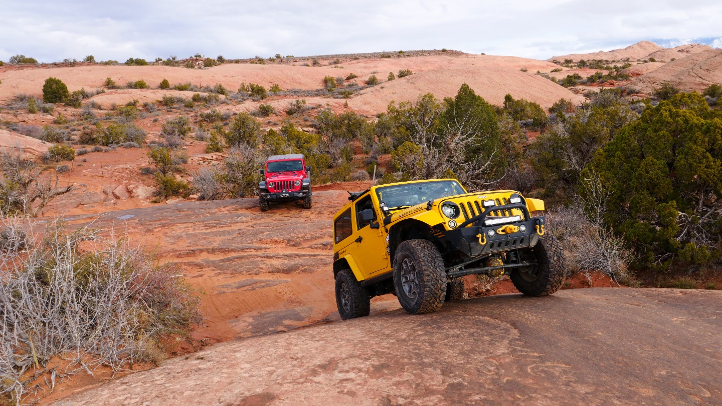
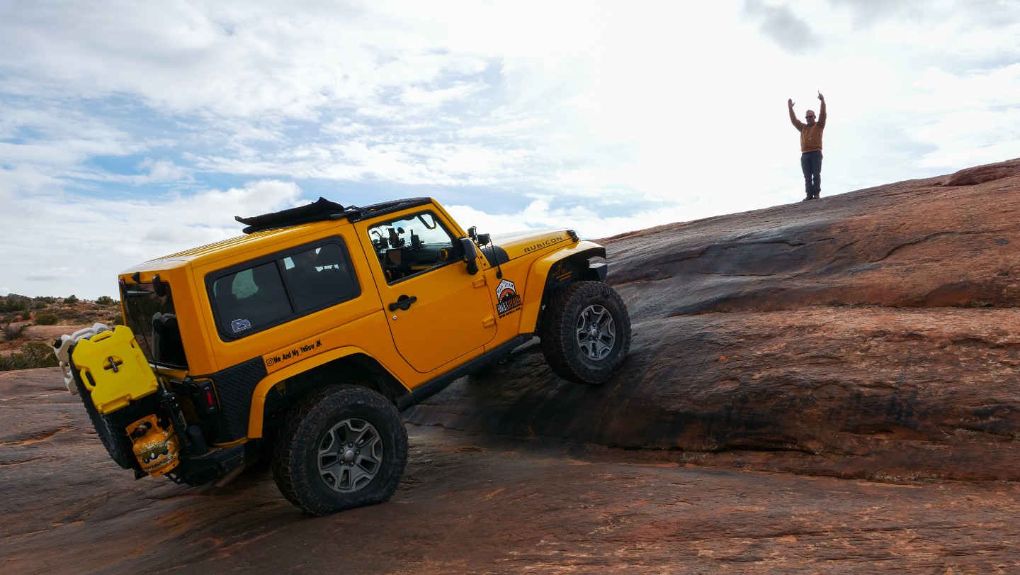
There is a bypass to the left. This hill climb has a slight ledge; the trick is to keep momentum so your back wheels bump up and over in a smooth fashion. If your back tires get caught on the ledge and do not go over, your fronts will pull you to the left or right: which is what you do not want to happen. Just back down and try again with a little more even and steady momentum to get the rears up and over safely.
32. 4 Choices Down (8.25 mi)
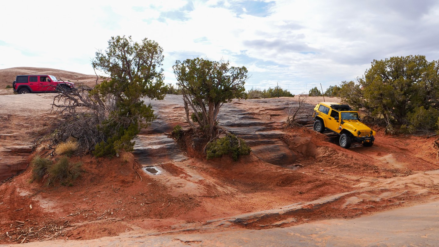
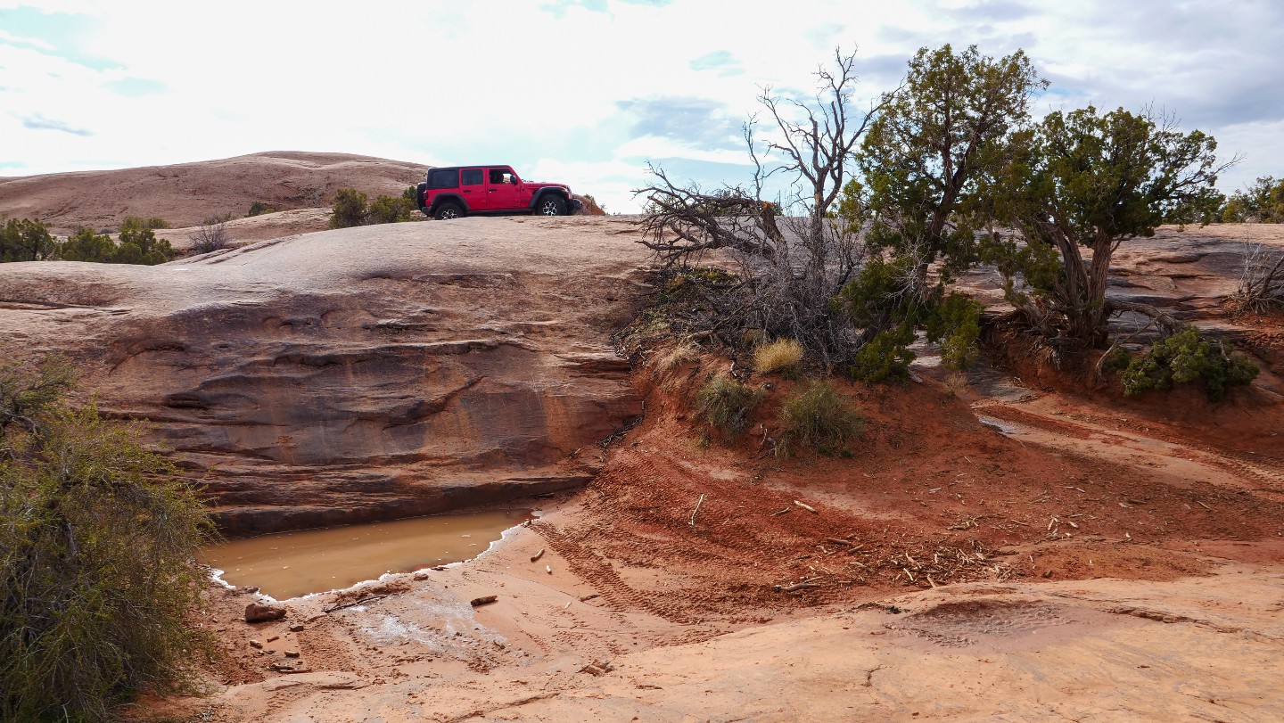
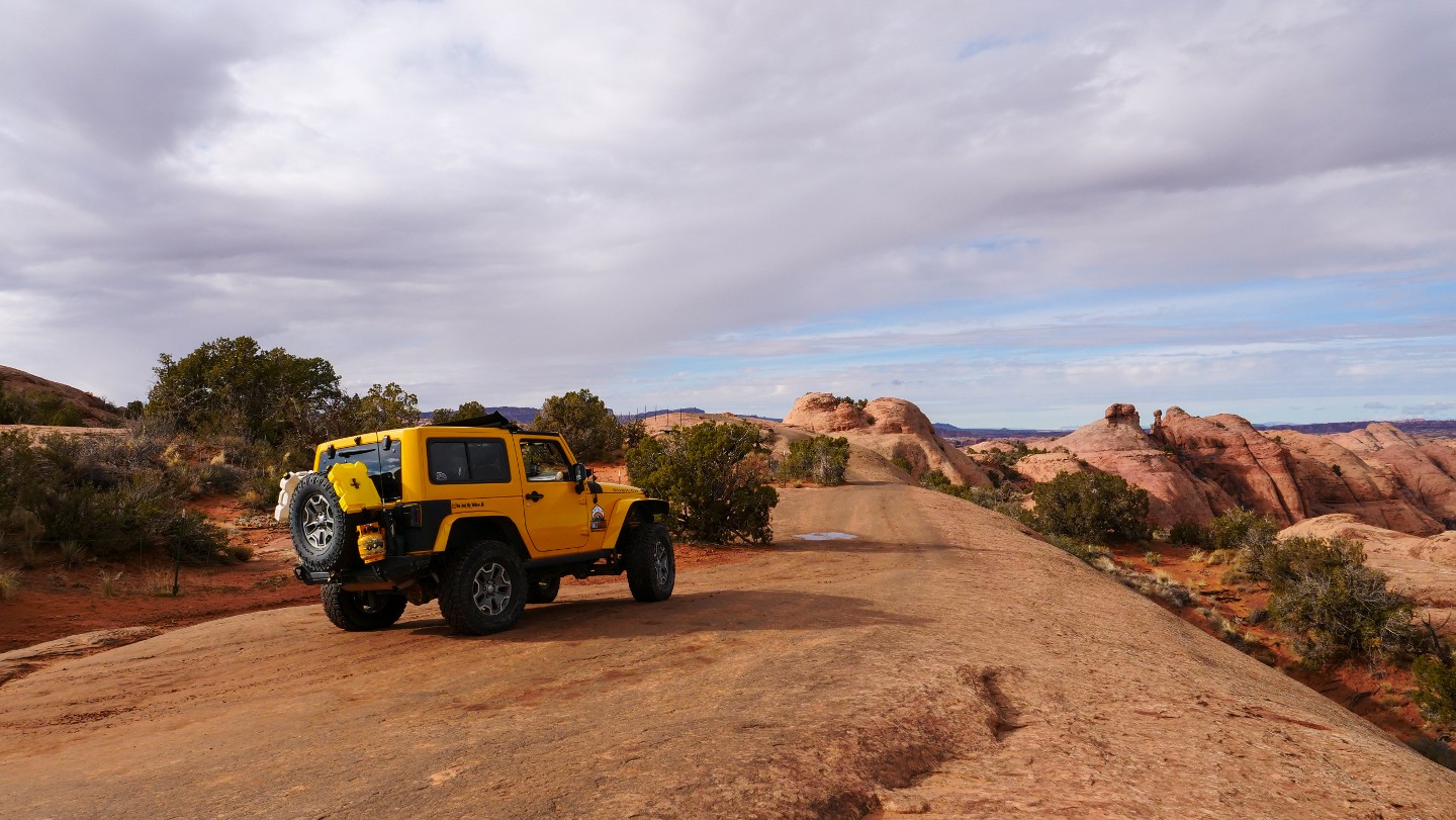
Multiple options exist at this point, and the difficulty is not so much in how steep each one might be but in how dug out the bottom of each is. The second to last used to be the better line, but now it's debatable. The track follows the second option down (between the trees) and measured 28° in pitch. Survey before driving.
After this Waypoint, you will follow a short shelf road section on which those afraid of heights may feel uncomfortable.
33. Alternate Exit - Continue Up Fin (8.52 mi)
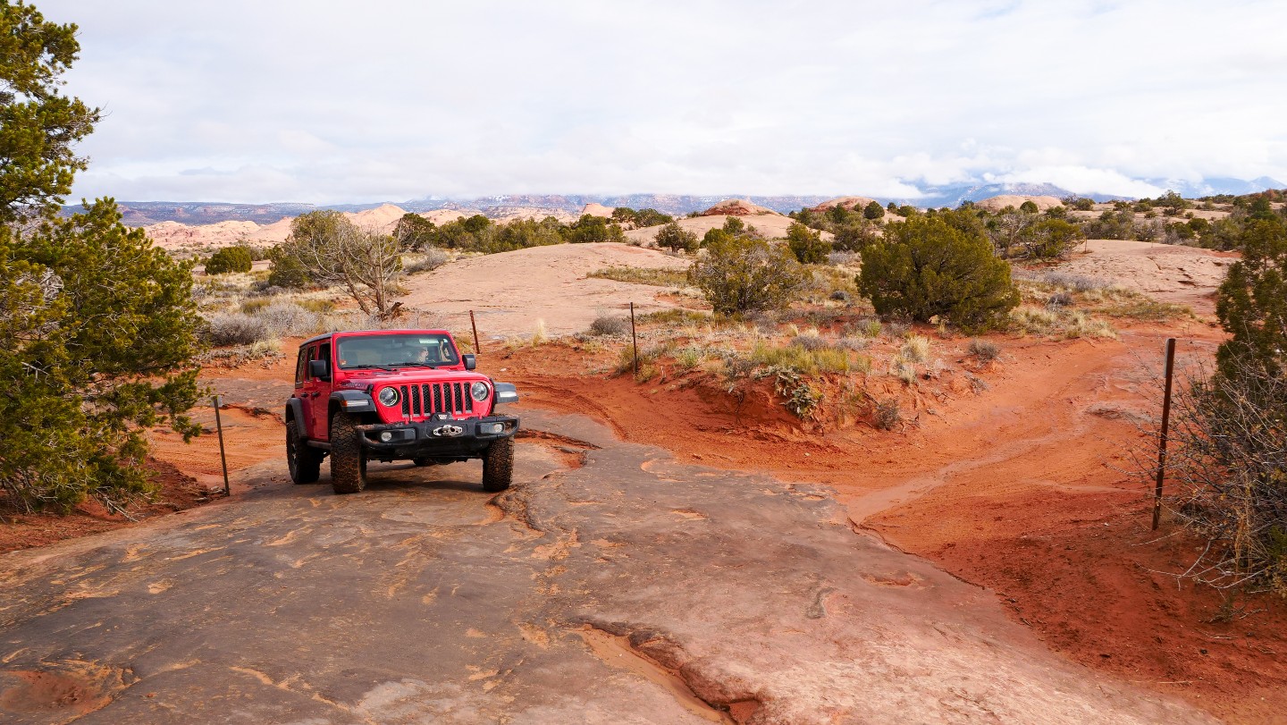
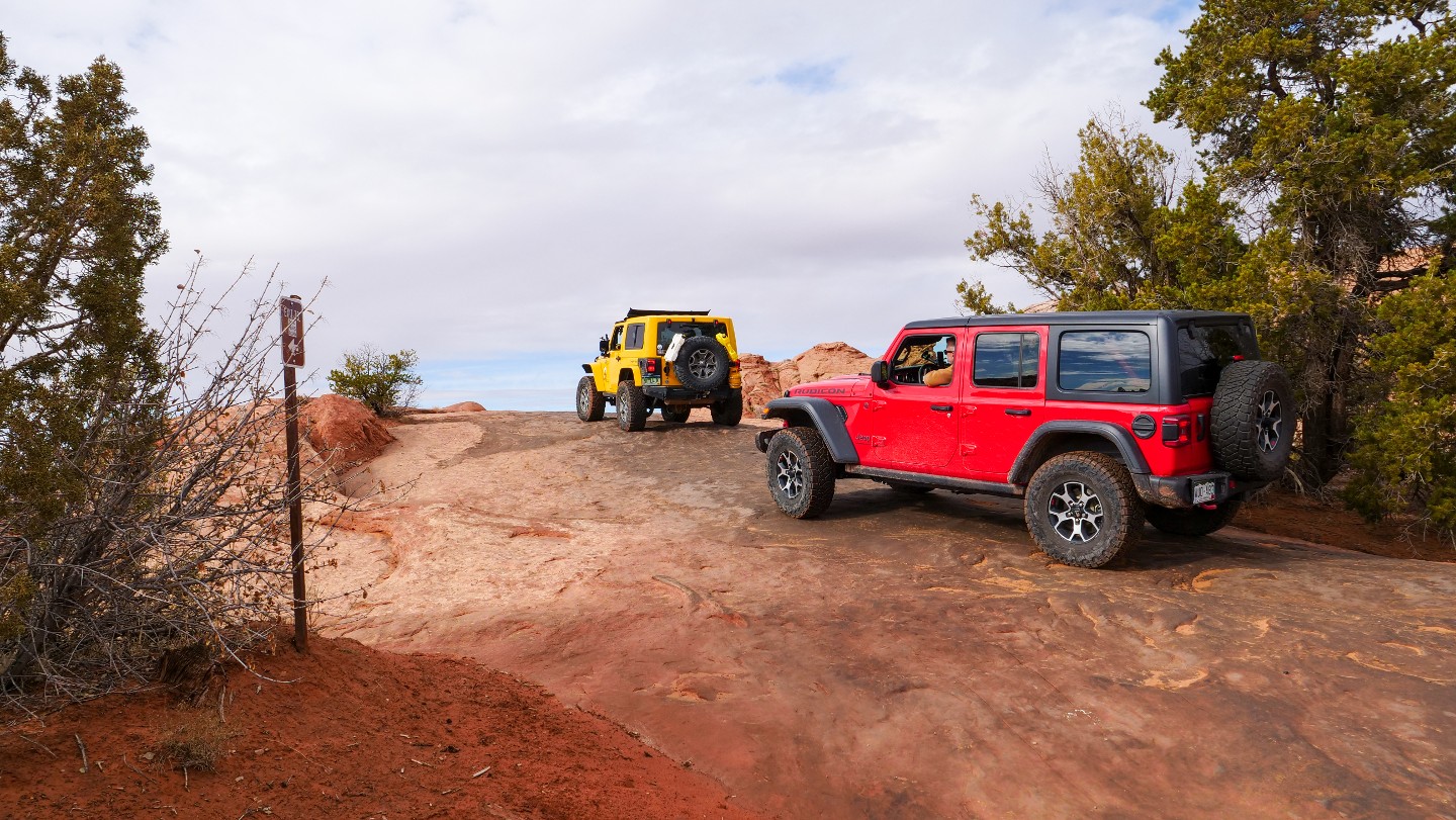
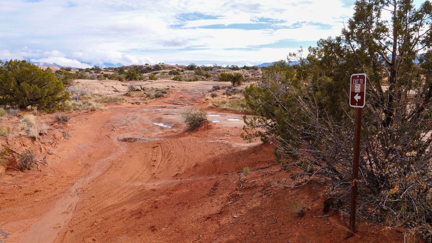
If you are running short on time, the trail will take at least another hour from this point. Take the alternate out if required.
34. Scenic Descent on Fins (8.59 mi)
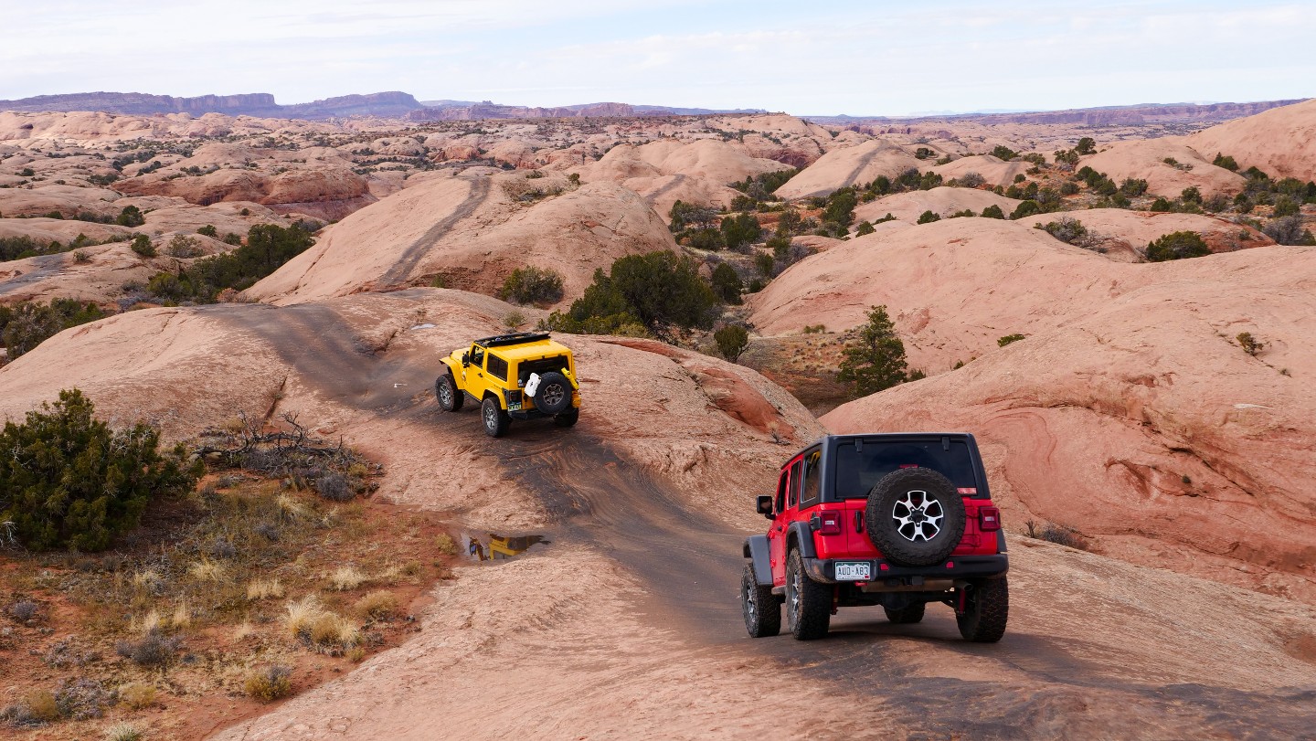
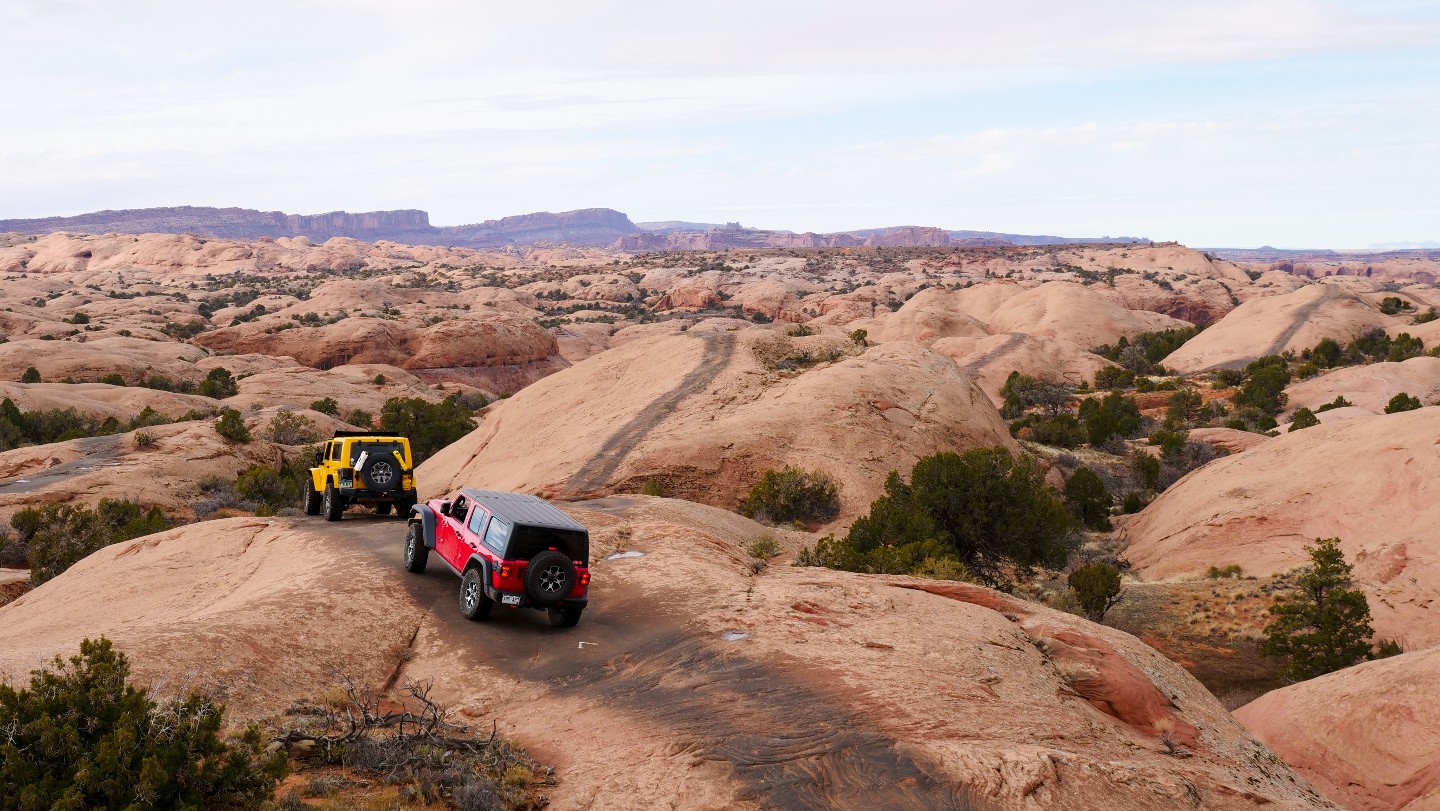
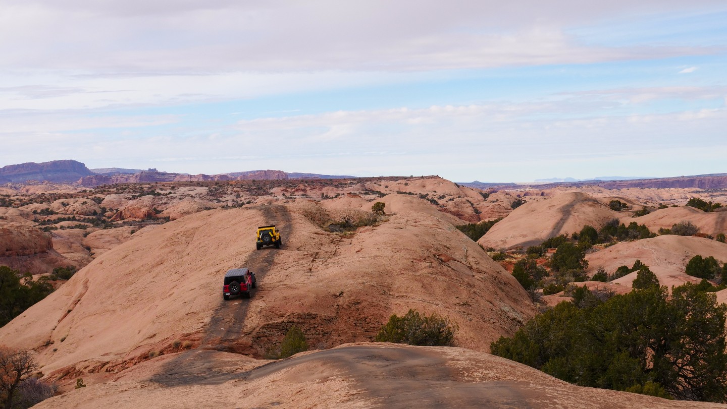
Indeed a beautiful section of the trail as you will follow a very scenic line down a series of fins and then climb back up in elevation.
35. To Kenny’s Climb - Hard Right (8.88 mi)
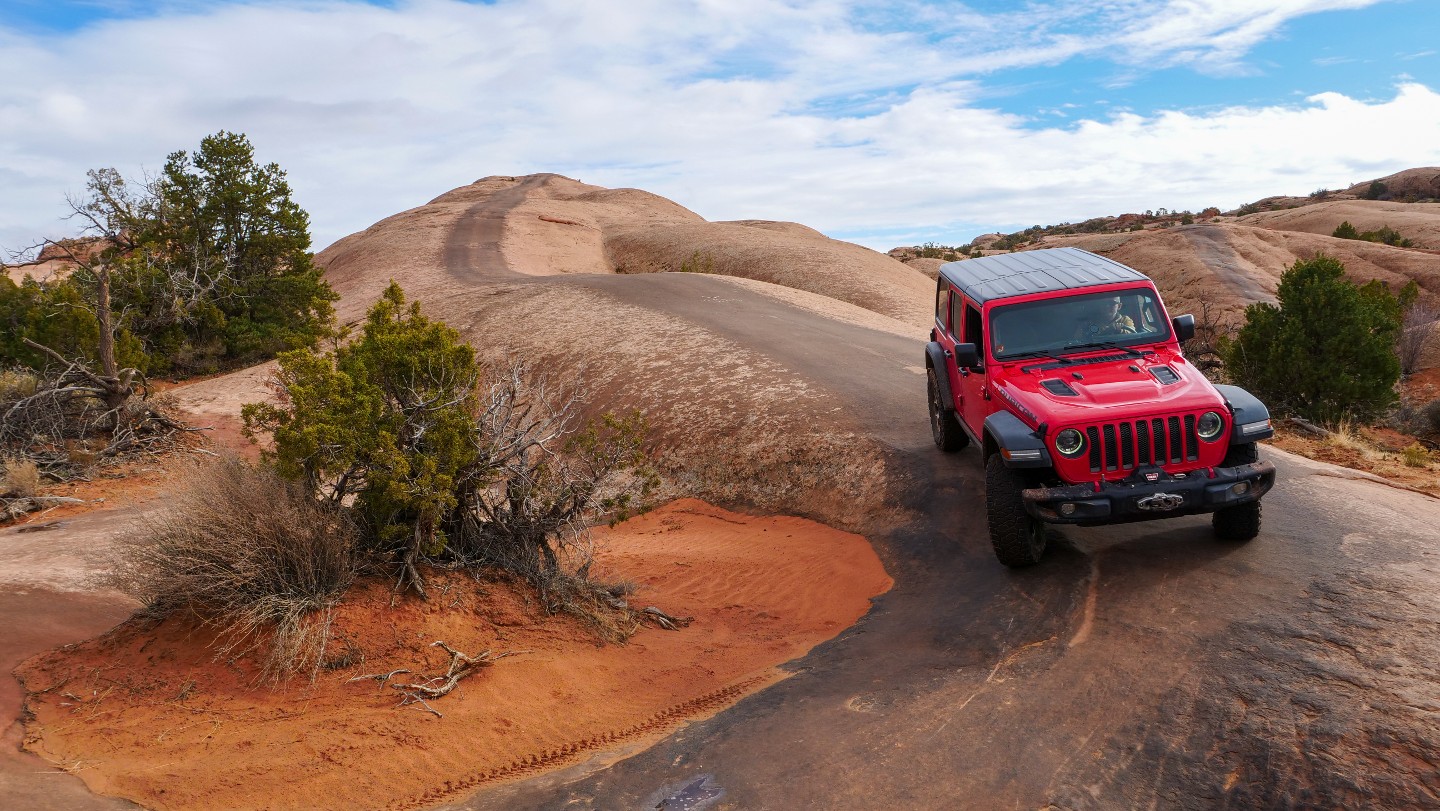
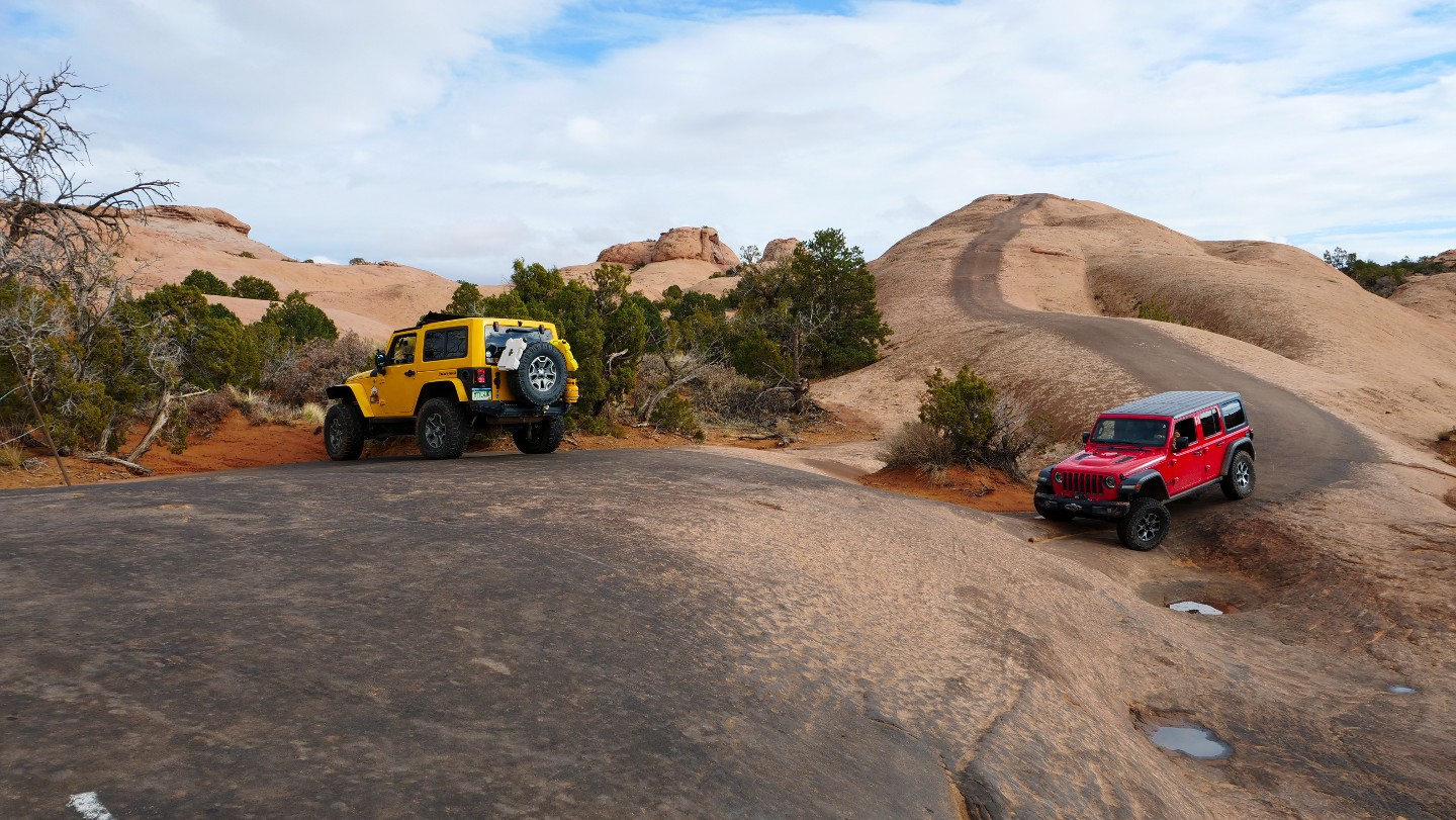
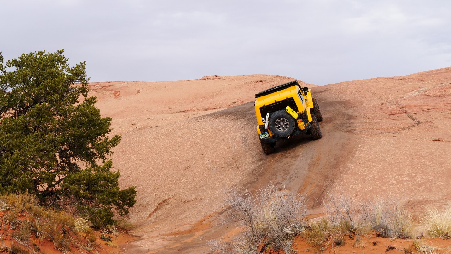
Turn hard right to reach the back loop of the main trail. After the turn you will approach a non-optional climb that is 25 degrees steep.
36. Optional Short Climb (8.99 mi)
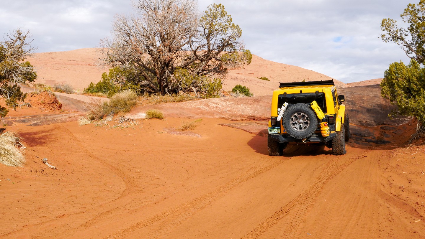
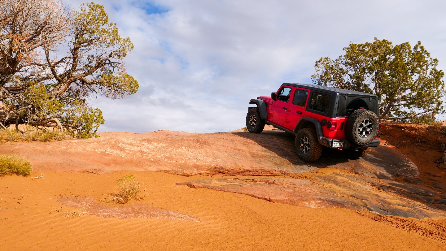
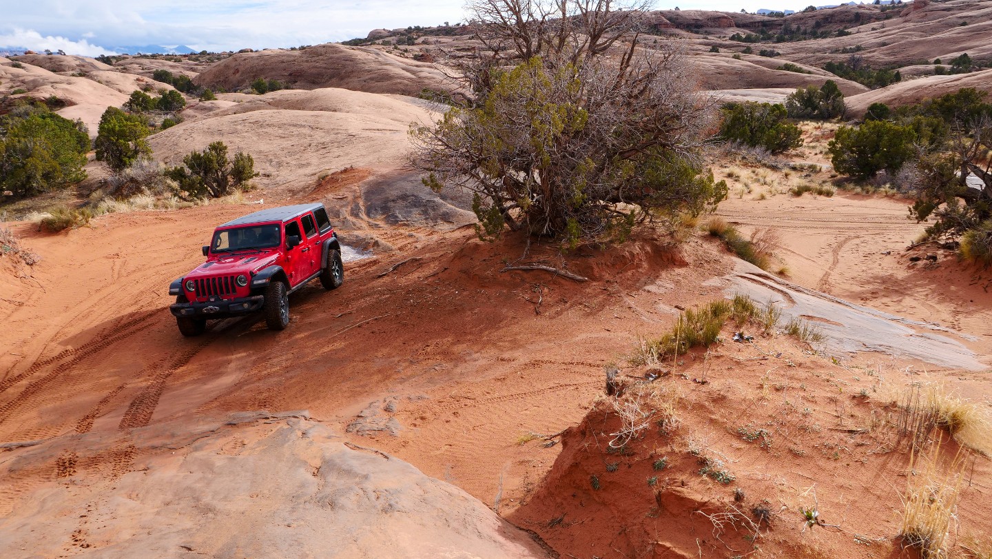
An optional climb exists here. 27° incline.
37. Optional Kenny's Climb (9.09 mi)
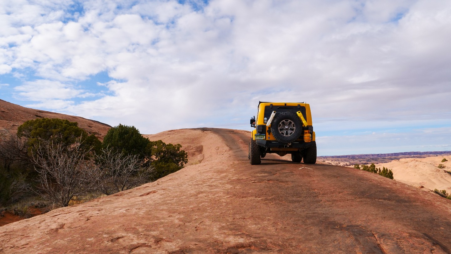
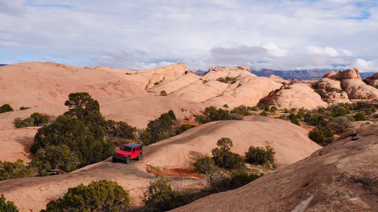
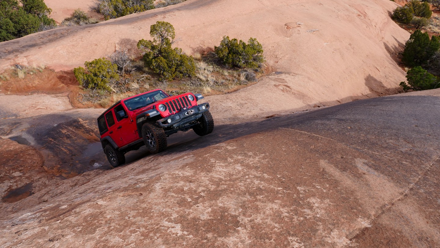
Continue straight for the easier option, or turn left for the 37° steep short climb known as Kenny's Climb. If you attempt Kenny's Climb, you can't see the top from the driver's seat. The area is wide open up top, but it's best to utilize a spotter.
Note: The Trails Offroad Guide follows up Kenny's Climb - go straight for the bypass.
38. Gully - Turn Down (9.16 mi)
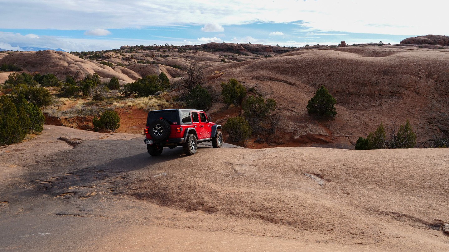
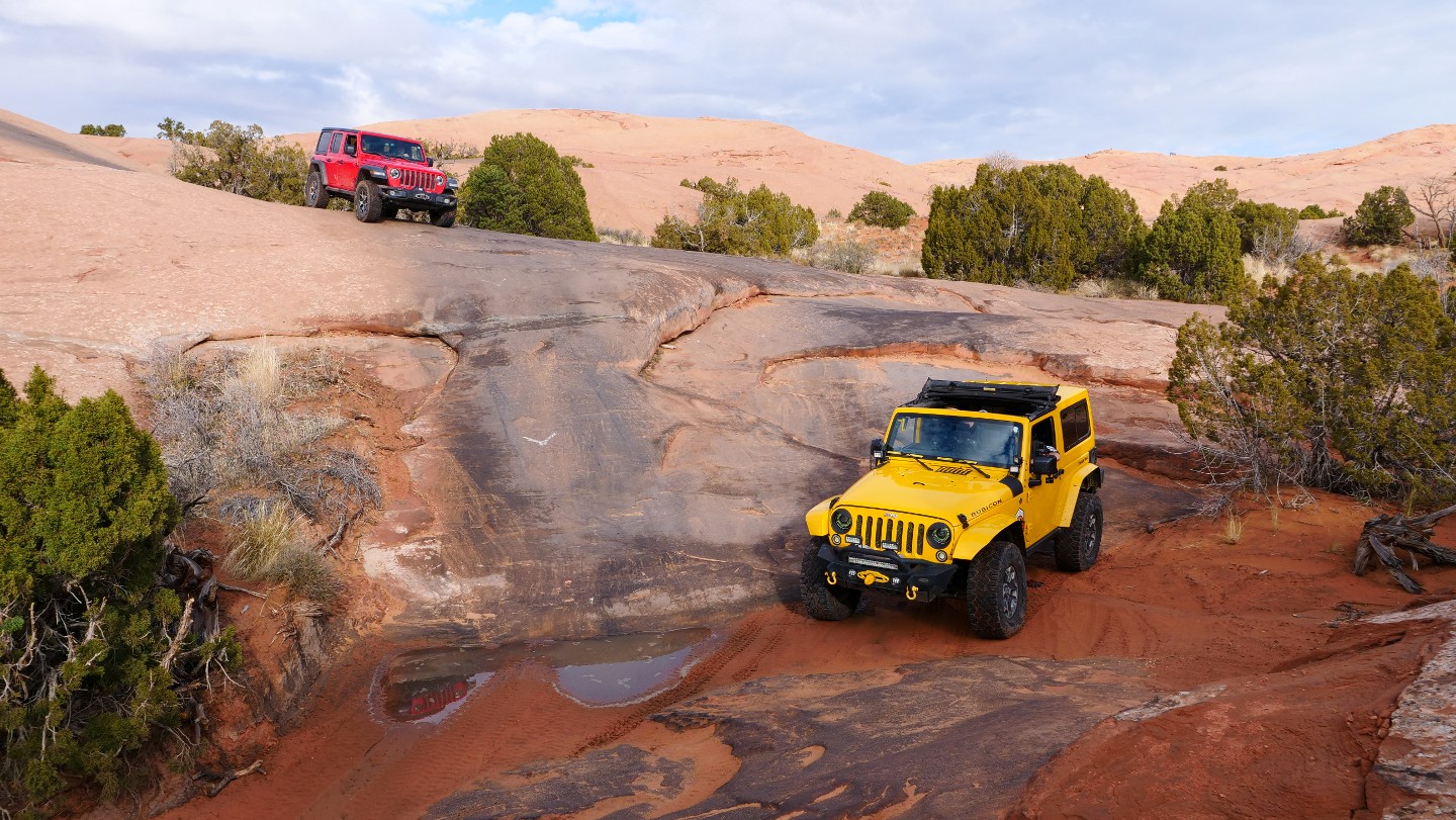
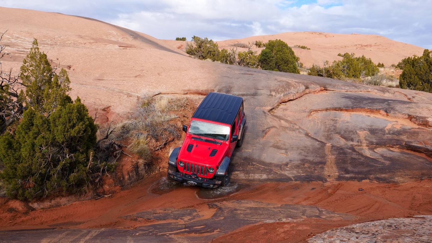
Keep your eye open for the paint on the slickrock to see the turn down into the gully. A short drop is required, but very minor compared to what you have driven thus far.
39. Hill Climb (9.25 mi)
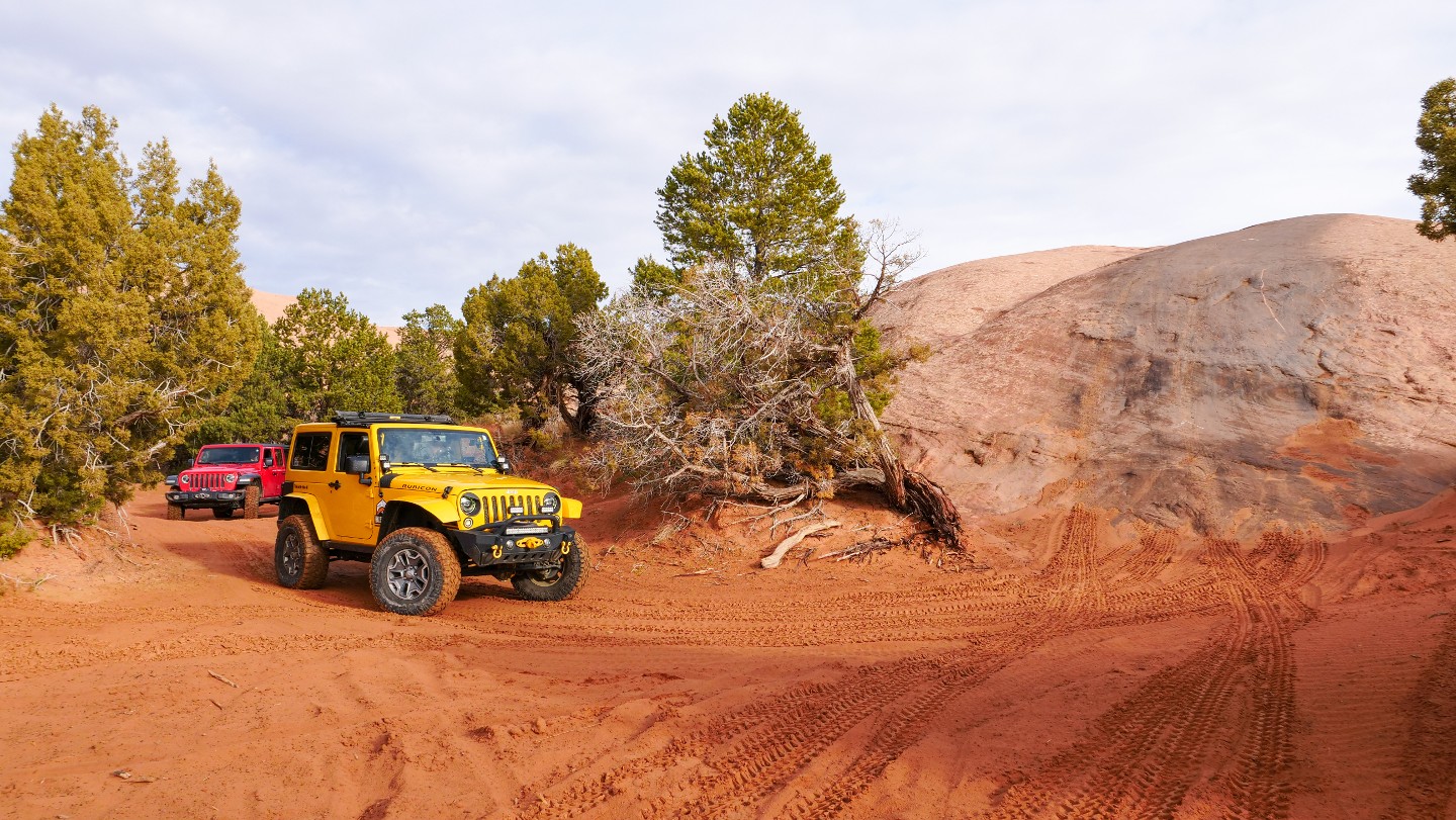
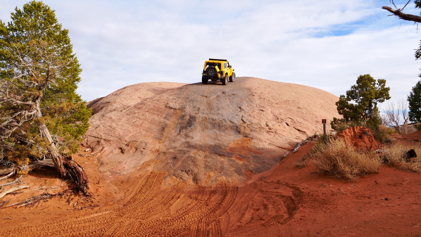
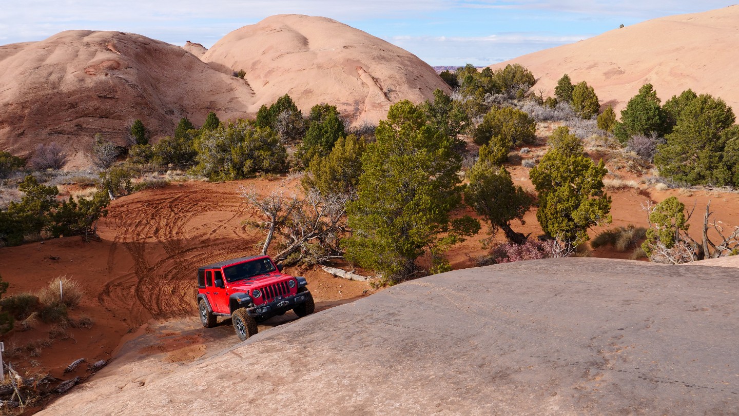
After coming through the gully, you will turn hard left up the hill. These are typically sand covered and slick. The harder line is on the left, and the easier line is on the right.
40. Gully - Turn Down/Right (9.36 mi)
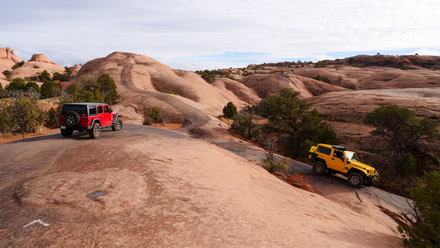
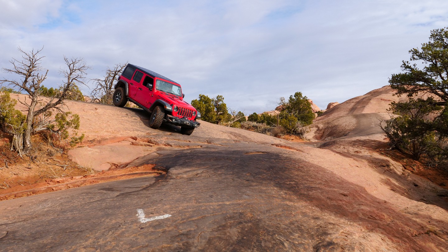
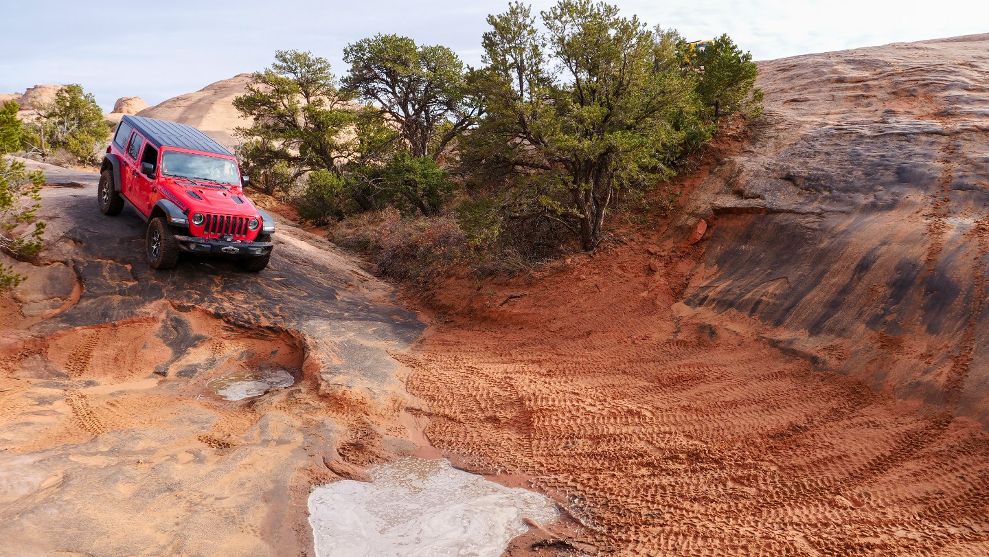
Much like Waypoint 38, you will hard right turn down into a gully.
41. Hill Climb (9.38 mi)
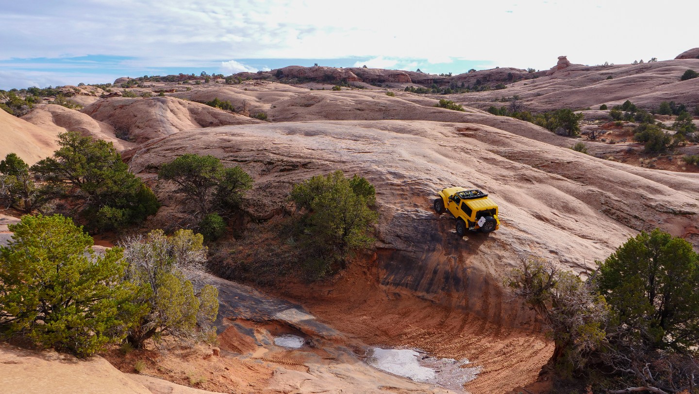
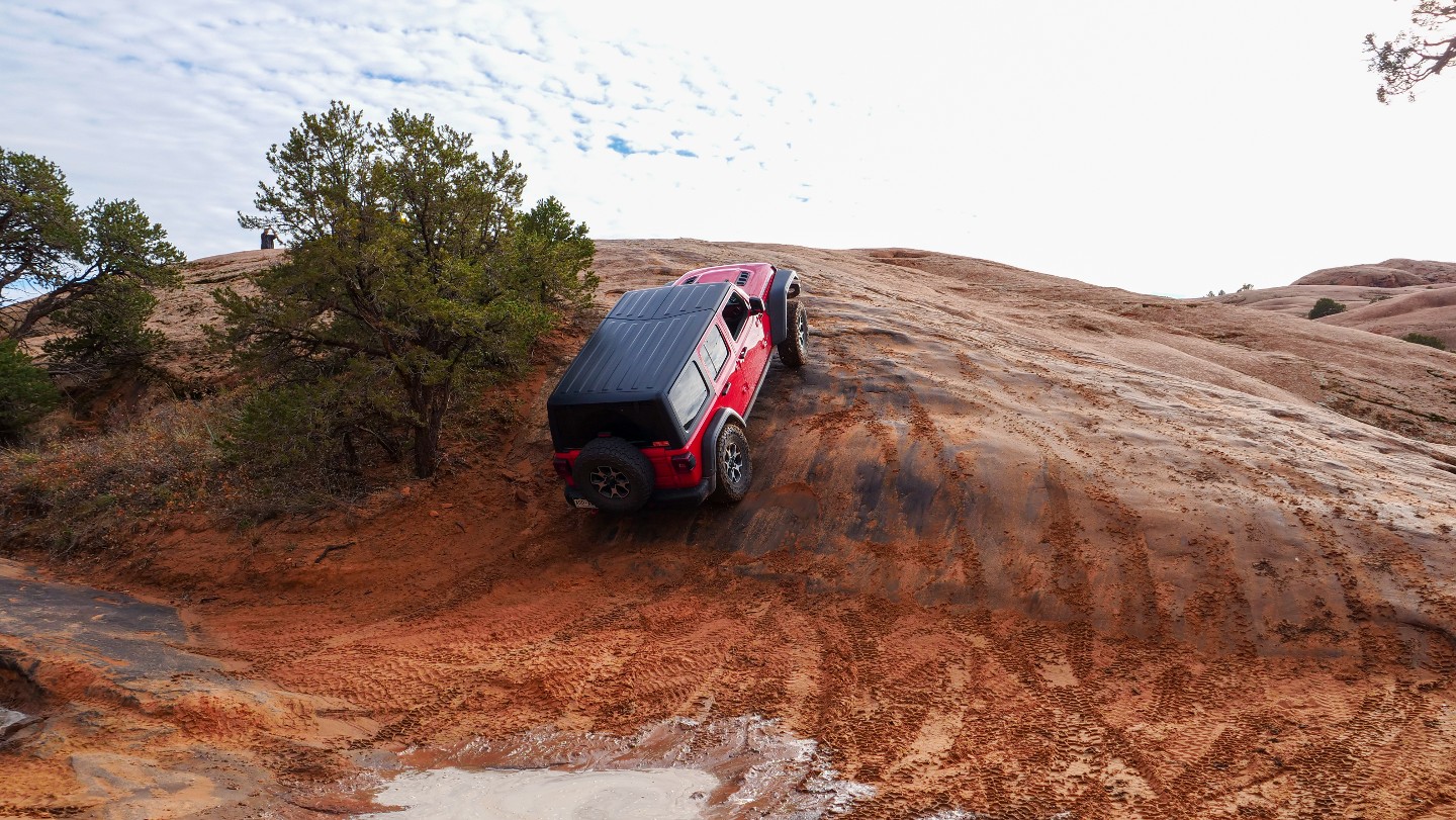
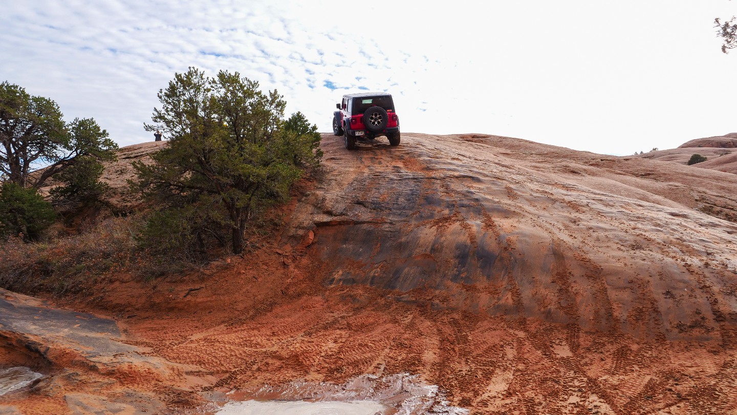
As you come through the gully, you will meet another hill climb, much like Waypoint 39. The easier line is on the far right, and the harder more on the driver's side. There are another 1 1/2 miles of fins and minor obstacles before you reach the end.
42. Trail Ends (10.19 mi)
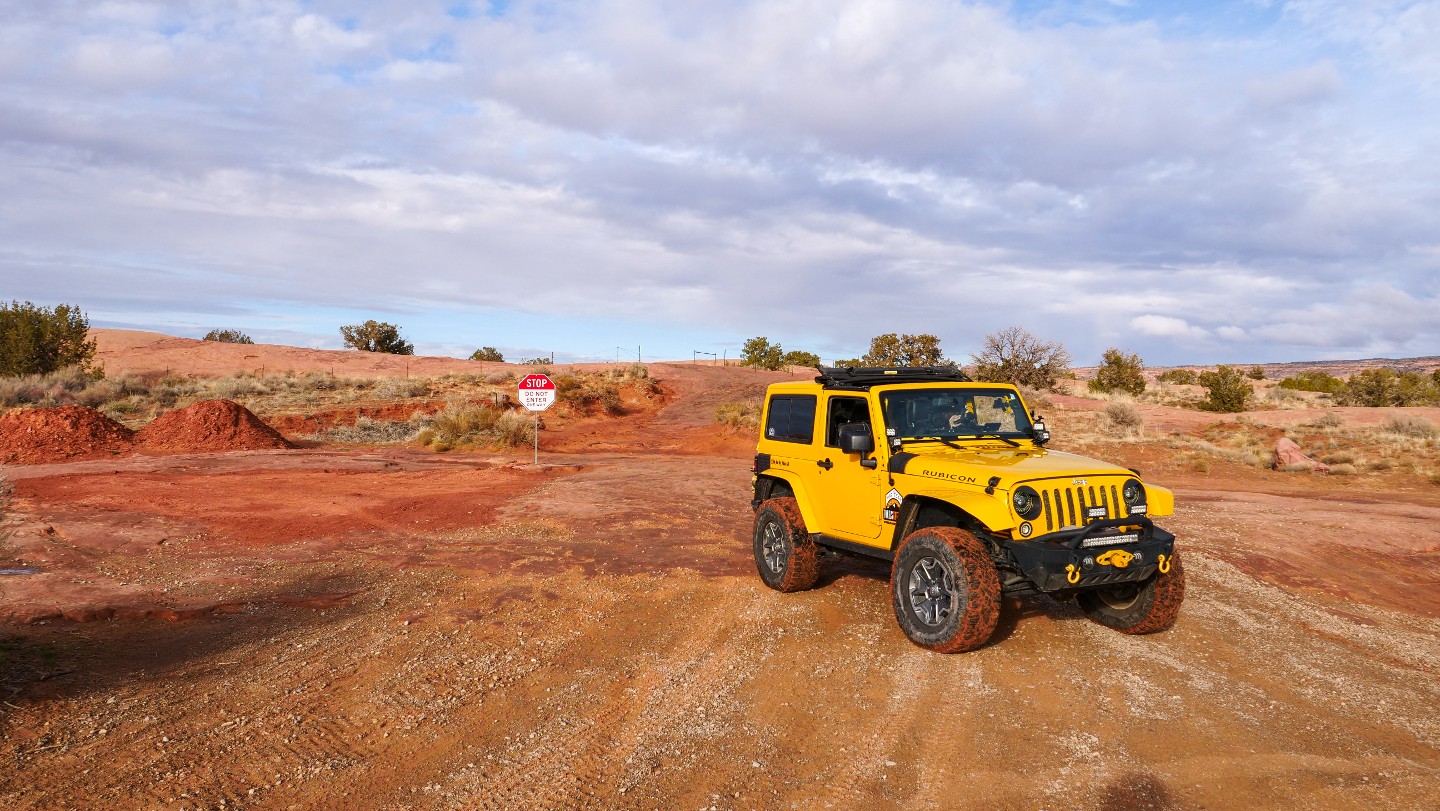
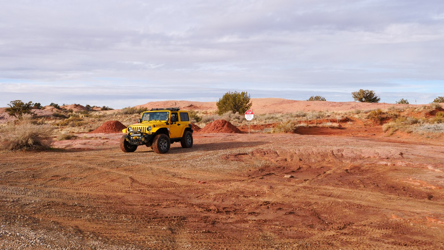
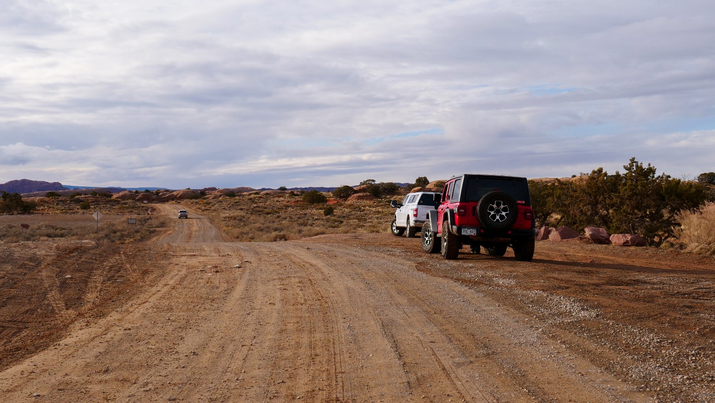
Fins and Things is complete. There is room here to air up, or several parking lots in the area, with vault toilets which are also good places to replenish air in the tires and make your vehicle street worthy.
Designated
Camping is fee-based and in designated sites only, and visitors must abide by all posted rules. Sand Flats Recreation Area offers 120 campsites in 9 campgrounds marked with the letters (A-J) to represent the names Alcove, Bobcat, Cottontail, Datura, Echo, Fox, Globemallow, Hawk, and Juniper. The sites are offered on a first-come, first-serve basis. The campsites have picnic tables, metal fire rings, and nearby vault toilets. Unless noted, campsites are limited to 10 people and two vehicles per site, and all vehicles must park in the parking areas provided. Campers will need to bring drinking water. Checkout time is 11 a.m.
Sand Flats offers two reservable group campsites on Recreation.gov. All other camping is first-come, first-serve at $15.00 per night per vehicle, with an additional $5.00 charge for a utility trailer. (2022 fees)
Collection of Firewood
Collect No Firewood – Bring Your Own
Many trees and plants have already been destroyed at Sand Flats, but those that remain play an essential part in the ecosystem's health. Alive or dead, every plant provides food, habitat, shade, and windbreaks for desert dwellers and visitors. Please leave our plants and trees in place.
Starting Point
Moab, Utah
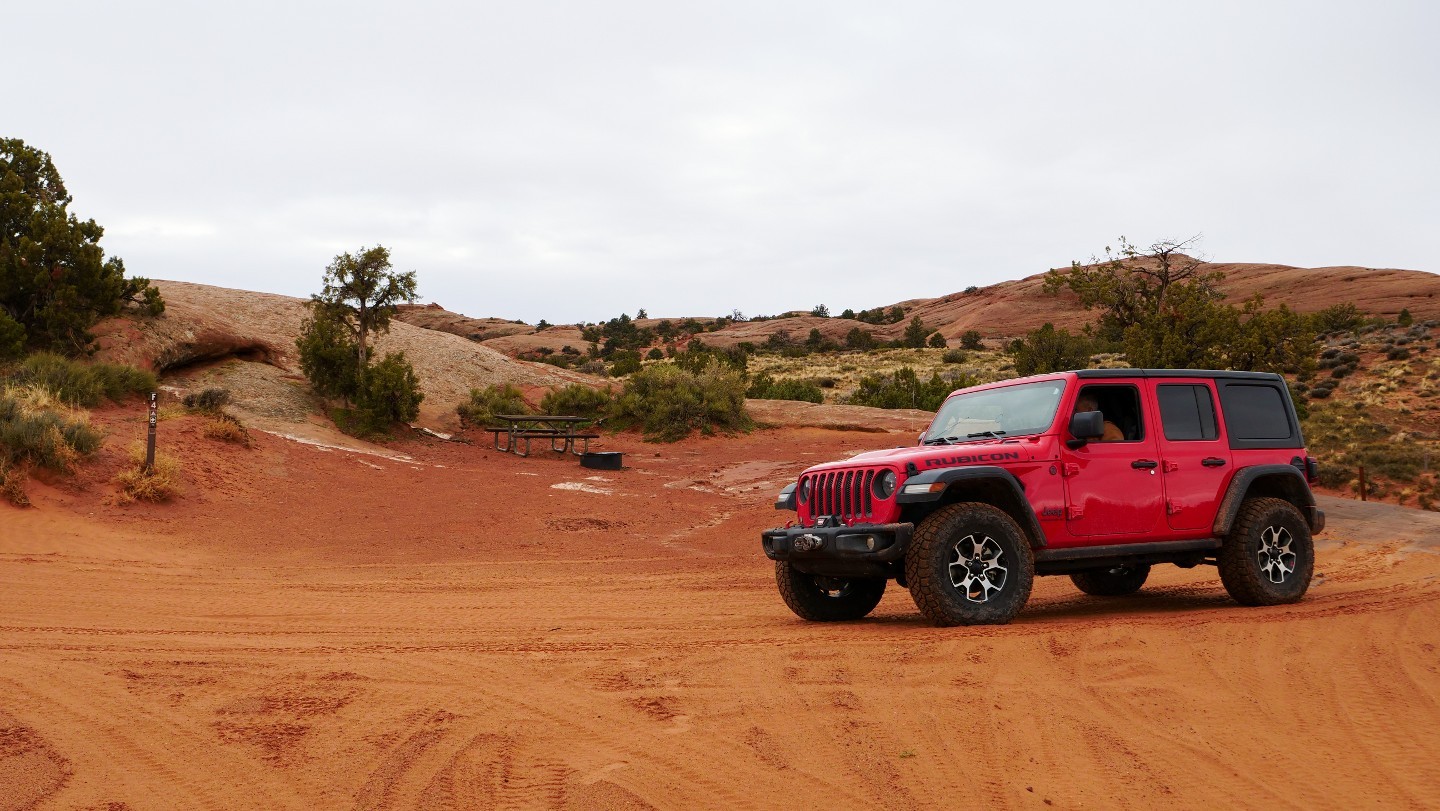
From the middle of downtown Moab, go four blocks east to 400 East Street. Go south to Millcreek Drive and turn left. Go straight at the stop sign near the cemetery and follow Sand Flats Road 1.7 miles to the entrance booth of the Sand Flats Recreation Area. Stay on the Sand Flats Road for two more miles, and turn right into Campsite Cluster E. The trail starts to the right of campsite #6.
Trail Reviews
4.8/5 (88)
Open
Rated
5/5
Visited: 03/25/2023
Difficulty Accuracy:
Spot On
Great trail! It is pretty easy with very few difficult obstacles. Ran this right after a day and morning of heavy rain and it was definitely washed out in some areas making them difficult. Did this trail years ago and don't remember it being as washed out in some parts. Waypoint 18 was definitely more difficult that expected and had a little trouble getting up it but may have just picked a bad line. If you are new to slickrock, this is definitely a great trail to build up some confidence. Only took about 3 hours to complete.
Open
Rated
5/5
Visited: 03/04/2023
Difficulty Accuracy:
Spot On
Fins and Things never disappoints! This is a fun trail that feels challenging, but is really not "difficult". For new drivers, the angles will be very intimidating, but, as long as you stick the to trail, there is really no danger involved. If you are going to Moab, this is a trail you really don't want to miss.
Open
Rated
5/5
Visited: 12/28/2022
Difficulty Accuracy:
Spot On
I did half the trail in light rain. My vehicle is a 2019 Jeep Compass “trailhawk”. There are marked trails for easier parts but we did the hard options, I don’t recommend this unless you have a good spotter and some idea of how to pick a good line. I don’t recommend this when wet. Overall good trail but it started snowing so we opted out where the trail crossed sand flat rd.
Open
Rated
4/5
Visited: 11/02/2022
Difficulty Accuracy:
Spot On
It was a fun easy trail with a few obstacles. I can see where a few obstacles where an inexperience off roader might be a little intimidated. We ran it in a modified Tacoma (33s, 3' lift, bumper, hitch skid, etc) with no issue. Its a perfect first trail if you're new to slick rock. Its also right next to hells revenge so it would be pretty easy to make a day out of both of these trails.
Open
Rated
5/5
Visited: 10/23/2022
Difficulty Accuracy:
Spot On
Pretty Easy trail but lots of fun and its awesome because it's so close to town. Trail Traffic can get heavy with dirtbikes and side by sides but that makes it fun to me. Ran it in a Titan Swapped Nissan Xterra with a buddy who was in a JL on 35s with 2 in lift.
Open
Visited: 10/20/2022
Difficulty Accuracy:
Harder
This is just about the south section because the wife didn't want to do the north this year. There are a couple of spots that are getting pretty gnarly; spots that I cleared in past years but bottomed out this year. Still a fun, epic trail, but it's more difficult than a 4 at this time.
Open
Rated
5/5
Visited: 10/12/2022
Difficulty Accuracy:
Spot On
WHAT A BLAST! I ran this in my 21 Gladiator Rubicon with a 2 inch lift and aired down 35 inch tires. If you’re going to run this in a gladiator or something with a longer wheel base I highly recommend a hitch skid. We took most of the difficult lines and on a majority of them we rubbed our hitch. The obstacles are great because they slowly build your confidence if you’ve never done a trail this technical! Highly recommend!
Open
Rated
5/5
Visited: 09/17/2022
Difficulty Accuracy:
Harder
Awesome trail. Maybe a tad harder than rating imo, but the group I went with didn't bypass hardly anything and im in a land yacht of a vehicle. The two bypasses I did do, were t exactly easy in their own right. Tundra on 36s open diffs and winch bumper. Dragged my ass on everything lol
Open
Rated
5/5
Visited: 09/01/2022
Difficulty Accuracy:
Harder
Nice trail. Ran it in a JT with a 3" lift and 37's. No sweat. Definitely air down for this one.
I'm rating it "harder" than a 5, because there are two no-bypass obstacles on the back half that require *very good* approach angles that you won't have unless you're running a jeep or something modified to be similar.
Also, note that the "bail route" emergency road halfway through is now moved several hundred yards to the east. The location marked on maps is past the actual intersection now.
Open
Rated
5/5
Visited: 06/02/2022
Difficulty Accuracy:
Harder
Ran the first 75% today and took the radio tower bypass out (which is still a 3). Ran a 4runner with 3 inch lift and sliders. I would not do it without a lift and experience. There are several spots that are fairly scary. I would rate this a 5 (which is the rating on the map they provide where you pay your fee). Used my locker once to get up to waypoint 7 (which could be by-passed at the campground). I spent a lot of time scouting routs/lines. Dragged my hitch twice on some very steep descents. The northern spur off of the main trail is not special. Fun overall but be smart.
Open
Rated
4/5
Visited: 05/29/2022
Difficulty Accuracy:
Spot On
Ran Hells Revenge and Fins & Things the same day as they are less than a mile apart. Did this with a small group in the rain. Lots of steep climbs available and your choice of steep (steep 20%, very steep 30%, drop ???). One of the jeeps noise dived on the drop. Was great that some of the steep climbs had bypasses, as one of the Jeeps did not have lockers and could not get up a couple climbs. Enjoyed and would do again with a friend if we were looking for a challenge as we got into Moab, or only had a couple hours. There is a slight fee!
Open
Rated
5/5
Visited: 05/26/2022
Difficulty Accuracy:
Spot On
2018 F-250. 160" wheelbase (looooooong). 2.5" level. Nitto Ridge Grapplers 37*11.5R20. Aired down in front to 20, back to 15. I left the sway bar on for this run.
Never had much problem with traction. Steep uphills: just hit with confidence and you'll be fine. Dragged my ass quite a few times on the drops, but never hit the bumper, only the receiver. Various other bumps and bruises (on runners) were from being lazy on rock gardens that seemed unintimidating after the big climbs and drops. I have a rear locker, but never had to engage it.
Long story short, this trail is a BLAST! I ran it with a 2" lifted 2021 Cherokee Trailhawk, and we didn't have to do a single bypass. That said, we got out and chose our lines very carefully on the sketchy parts and spotted them. If you are a VERY good driver in a stock vehicle with 4LO give it a shot, but there are several large hills and drops that will test your mettle and traction if you aren't aired down to 10-20psi.
Seems like a classic Moab 4x4 experience, and if my fat-ass F-250 can do it ... You can too!
Open
Rated
5/5
Visited: 05/17/2022
Difficulty Accuracy:
Harder
Wow, what a fun trail. This certainly tests your rig and skills. I watched a Sahara (no lockers) struggle on a few obstacles. Later a 4xe struggle sliding down (skid) a downhill. My rubicon did ok.
I’m anxious to put together a video of this trip. I hope the footage does this trail justice.
Open
Rated
5/5
Visited: 04/29/2022
Difficulty Accuracy:
Spot On
Super Fun Trail! Started with Fins N Things before doing Hells Revenge in the same day. A few of the waterfalls and ledges are a bit more challenging here than Hell's Revenge, but the steep climbs are shorter and wider. Hell's Revenge has some long, narrow, twisty climbs. This is a pretty long trail and if it's your first time, you might be white knuckling it parts of the way. It gets easier with time and good to start here before Hell's Revenge.
Open
Visited: 04/26/2022
Difficulty Accuracy:
Harder
Amazing trail! Was lucky to meet up with some people that had done it before and made for a better day. Super fun but there are a few obstacles I would have to say are tougher that a 4. Doable in a stock vehicle with a good spotter.
Open
Rated
5/5
Visited: 04/23/2022
Difficulty Accuracy:
Spot On
Took the trail in my 04 Ford Explorer that I just finished building. The trail was the perfect test of what my rig was capable of. There was some stuff that one might consider more challenging but most definitely of it was super easy with a good spotter.
Open
Rated
5/5
Visited: 04/05/2022
Difficulty Accuracy:
Spot On
Great trail to get familiar with the amount of traction the slickrock gives. We did this trail before hell's revenge and were very happy to have used it as an introduction. No real challenges to note, just lots of ups and downs. Amazing views throughout.
Open
Rated
5/5
Visited: 04/04/2022
Difficulty Accuracy:
Spot On
Fins & Things was the second day of a weekend of trails that included 12 hours (day and night) of four wheeling in the Dome Plateau area. This trail was another great challenge for me and showed me what my Gladiator was really capable of. The scenery was fantastic and never ending. For me this trail was harder then the trails in Dome Plateau and the Fins ready tested my resolve. The inclines and declines averaged about 20 to 35 degrees and there was one spot that gave me pause because of the tree on one side the self drop-off on the other side. This came up just after a steep decline that someone on a motorcycle was afraid to do. The trail in this spot was very narrow and I wasn't sure I could make the turn, but ended up making it just fine. We all had a great time and I earned my first Jeep Badge of Honor badge.
Open
Rated
4/5
Visited: 03/17/2022
Difficulty Accuracy:
Harder
We took our stock JK Rubicon on the trail (33" inch tires aired down to 15psi). We only had time to complete the southern half of the trail. There were many more ledges than we were expecting on the trail (was thinking it would be more fins). We scraped along a few times on the breakovers.
We opted to not do the last climb out of campground H (just after WP 6) up to Sand Flats Rd. Instead, veer left out of campground. To clear the first hole/ledge on that last climb out we would have had to drive off the trail to the left side. We noticed quite a few people have been doing that (my husband's pet peeve). Bigger tires and a lift would have made that a lot easier.
I thought the steep descents were more thrilling than the climbs. Mostly motorcycles on the trail today. Also, if you have time drive up Sand Flats Rd to Porcupine Point. Great views and campgrounds to eat lunch.
Open
Rated
5/5
Visited: 01/15/2022
Difficulty Accuracy:
Spot On
This is our favorite trail for an "easy" day on the red rocks. We found out right away that there may be some water and ice along the trail. At the bottom of practice hill, there was a huge pond that I had to take really slow. This trail is perfect for beginners and anyone looking to experience rock crawling without having a built rig. The snow-capped mountains, always in the distance, added a very scenic backdrop throughout our day. While on the loop, we only saw two other vehicles, and it was a Saturday. Moab is open in the winter!
Open
Rated
5/5
Visited: 09/14/2021
Difficulty Accuracy:
Spot On
Great trail to test some easy obstacles and become used to the amazing traction on "slickrock"! We hard lined everything and did all obstacles to gain confidence for other trails. Fun with amazing views but very bumpy compared to the neighboring Hells Revenge. Will definitely visit again!!
Open
Visited: 07/08/2021
Fins and Things was a challenging trail for us. We got a late start at the Fins and Things Trailhead after touring Arches National Park and taking a fun warmup 4X road off the last parking lot for Delicate Arch "Cache Valley, Dry Mesa road". Great fun after going through the gate and off of the National Park Land.
We got to Fins and Things trailhead around 2pm after paying the $5.00 entry fee and got off Fins and Things trail shortly after mile post 5 around 4:30pm.
We did this in our 2015 JK Unlimited, with 4 inch suspension lift, 35 inch Toyo Open County tires, stock bumpers and a bar for towing behind the motorhome, below the front bumper. We only touched a rock once on the suspension pivot point (sorry I don't know the proper name:) Photo attached, and only scratched the paint.
We'll have to finish the rest of the trail on our next visit to Moab.
Open
Rated
5/5
Visited: 06/27/2021
So much fun. We did it in a 2001 TJ lifted 4” with 33” tires (no lockers) and a ‘19 JL Rubicon 3.5” lift and 35” tires. For us newbies there was plenty to learn, but spectacular scenery even with the heat. We both got our first Jeep Badges of Honor and that was fun too!!
Open
Rated
5/5
Visited: 04/25/2021
This is a great trail on which to get your first taste of the "Moab Experience" with slickrock. Some of the inclines and drops have a high pucker factor but taking it slow and steady while following the markers and black lanes will get you through. We went late on a Sunday evening and didn't see another vehicle on the trail.
Open
Rated
5/5
Visited: 04/21/2021
Been wanting to come to Moab for years and finally made the trek. Only had time for one trail so Fins n Things it was.
Beautiful scenery along the trail with moderate traffic on it. Cherokee Trailhawk did extremely well and surprised many people. The videos/pictures do not do justice to the steepness of the obstacles. Just go slow and you will be okay! Overall this trail is a must for first time visitors.
Open
Rated
5/5
Visited: 04/03/2021
First Badge of Honor Trail! Tons of traffic because of EJS 2021 and I got stuck in the middle of a guided group. They decided to block the entire trail and wait for stragglers which was not cool.
Made it through every obstacle, even the butt scratcher between WP3-4, (definitely used my skid-plates) with the following exceptions:
WP 12 - Used the far left line
WP 19 - Took bypass on second climb
WP 24 - Skipped Kenny's climb after watching multiple vehicles get stuck there.
I was the only stock Grand Cherokee out there in a sea of wranglers. Would like to try it again in my XJs
Open
Rated
4/5
Visited: 04/02/2021
Difficulty Accuracy:
Spot On
Fins is a great trail to introduce people to the terrain in Moab. You get a little bit of everything... Slick rock, Fins (hence the name), two track, rock crawling, sand... you name it! Nothing really tough here just a good time. We ran it in two days due to a late start after seven mile rim. The trail was rougher than I expected but still a good time. We ran it from the start to the radio tower and then came in the next day and finished it.
Open
Rated
5/5
Visited: 03/20/2021
Great starter trail but, does require some experience. Having a spotter is always nice for some of the break overs. Lots of people on the trail but as always, most people are very respectful and give you space. Plenty of pull offs to grab a snack and enjoy the views!
Open
Rated
5/5
Visited: 03/18/2021
Difficulty Accuracy:
Harder
I took my father through the first portion of the trail in my Jeep, to show him what Jeeps are capable of. I think he was impressed both by what I could do in my Jeep, and the challenges of the trail. He’s undecided on if he’ll do it himself; maybe next time.
Open
Rated
5/5
Visited: 03/14/2021
Like others have said, awesome trail, lots of variety to play on and great warm up for bigger and badger trails in the area. Hit it first thing this morning after snowing last night. No issue, rock was still sticky but the sand was a bit too. Tires didn’t clear quite as fast as before the rain and snow.
Open
Rated
5/5
Visited: 03/10/2021
First trip to Moab, so I had to do this trail. 2007 JKU, 35's under a 2 1/2" lift. Handled every hard line without dificulty. It's crazy how much traction you get on the rock. I only aired down to about 17 psi and really only heard one small chirp. This trail gives you confidence to try everything else. I ended up following 2 jeeps for rent 2020 Rubicons on 37's with lift (definately had a little jeep envy going on). The guys say they rented them for $350 a day. Seemed like a pretty good deal, but not a sweet as the old JKU still crawling just fine :)
Open
Rated
5/5
Visited: 03/05/2021
This is a really awesome trail experience. It's one way, with several bailout points when you've had your fill. HUGE range of technical obstacles, I'd honestly say moreso than Hell's Revenge. There's a wide variety of lines available at each of the obstacles, so your most experienced wheeler will still feel entertained and challenged, even when wheeling with a complete greenhorn.
Open
Rated
5/5
Visited: 11/26/2020
Great fun! We were here for just a short time, but were able to run this with our JLU Sport with Rubicon springs and shocks. Hit the skid plates under the belly a couple times due to the length of the Jeep but had a great time. Looking forward to going back someday soon.
Open
Rated
5/5
Visited: 10/31/2020
This was our first trail in Moab. Had a blast in our 2020 Jeep Wrangler Sport with 35's and 3" lift. In addition to the gorgeous there are some great climbs and descents. Hadn't had the pleasure of 40 degree climbs and descents so this was "thrilling." Going back for Thanksgiving and considering running this again.
Open
Rated
5/5
Visited: 09/16/2020
The perfect intro trail in Moab! We camped at Sand Flats, so we actually split this trail up over two days. It works well to do it that way if you need to since the trail crosses the main road. Overall, this is a really fun trail with some interesting obstacles and amazing Moab scenery. Camping at Sand Flats was awesome too -- go all the way down to Juniper for great views and a little more privacy.
Open
Rated
5/5
Visited: 09/14/2020
Awesome looong trail! Took us about 5-6 hours to complete with all the stops and spotting. You have so much traction on the slick rock it makes you feel you can go up any incline. It was nice to have restrooms throughout the trail. I do feel it was harder then the review video looks. I watched it a 100 times and it’s different when you actually see the obstacle in person. The tricky decent was the most sketchy for me. We did encounter some traffic on a Monday. A big convoy of Jeeps and a lot of side by sides. There was a $5 fee to get in for the day. If you wanted to camp, just needed to get a spot and pay an extra $10 for the night ($15 a night fee). Thought that was a nice option. We planned to run hells revenge but we’re pretty tired once we completed FnT. I wish I planned for 1 day for each trail.
Open
Rated
5/5
Visited: 09/11/2020
Ran the south side of Fins & Things in my 4Runner and absolutely loved it. This is the perfect trail to get used to a lot of different terrain types and challenges before heading out into less trafficked trails around Moab. We hit some challenging sections on Dome Plateau, but after Fins & Things I knew exactly what the 4Runner could handle.
Open
Rated
5/5
Visited: 09/01/2020
First time ever going off road in a Jeep. Rented a very capable Jeep from Twisted Jeeps in Moab, and Fins N Things was the trail they told me to try first to see how I do. This trail is perfect for beginners with some tougher areas once you get comfortable, or they have alternate routes that are a little easier.
This was a perfect confidence warm up for Hell's Revenge.
Open
Rated
5/5
Visited: 05/30/2020
Difficulty Accuracy:
Harder
This was our first trail in Moab with the Jeep, though we’d done the first portion a year prior in our truck. That took 2 hours; the Jeep took 45 minutes. It took between 3 and 4 hours to complete the whole trail. Shortly after Waypoint 9, we thought we’d punctured a tire; turns out we almost ran over a rattlesnake. Waypoint 12 is the only point that gave us any difficulty, where we scraped our gas tank at the bottom. We went down the spur at Waypoint 13, and stayed for a little while, enjoying the views and some snacks.
I was a little disappointed, with a name like “Fins ‘n Things”, and how few fins there were; until the end of the trail. We had a blast riding up and down the fins. This is a great trail, and a wonderful introduction to Moab wheeling. While not the hardest trail, it certainly wasn’t easy, either. We’ll be sure to visit this one whenever we come back to Moab, as a bit of a warmup and refresher to slick rock wheeling.
Open
Rated
5/5
Visited: 05/29/2020
Fins and Things is the first trail we ran when arriving into Moab. We have never been to Moab so wasn't sure what to expect and glad we started with Fins and Things as it gives you a great opportunity to experience driving on the slick rock. I would say it is a must do when out in Moab!
Open
Rated
4/5
Visited: 05/06/2020
This was my first trail I ran in Moab, it was a great experience, not to difficult and didn't ever feel as if I was in danger of breaking anything. I would recommend that at point 6 you make a left instead of a right and take the access road that goes directly to point 14, everything between those points is rocky and enjoyable, felt like it was a flat road with rocks just big enough to force you to take it slow. Overall super fun, looking forward to running it again.
Open
Rated
5/5
Visited: 03/17/2020
Fins and Things is just one of those gotta do Moab Trails. Gives you a great taste of Moab Off-Roading, yet is fairly easy for many trail rated stock trail rated vehicles. Good approach and departure angles are key, but breakover angles aren’t as important here. Definitely study trails offroad’s guide here, but if you want to see all the obstacles before doing, my video review may help (however, don’t count on it instead of using the information posted here or in the Funtreks books... my videos are meant to supplement great resources like this website). Anyway, I hope you try it, because it’s a fun trail! I’d recommend having skid plates, rock sliders, and decent tires. Lockers are not needed but help on some of the optional climbs/obstacles.
Open
Visited: 10/26/2019
Difficulty Accuracy:
Easier
This was my first trail in Moab. I made the trip with my partner-in-crime who has a Wrangler Sport with full rock sliders, a 3" lift and running 35" Mickey Thompson M/Ts. We felt this was an excellent trail to prep ourselves for the trails around Moab. The trail has technical challenges and moments to get the blood flowing. I recommend mixing in with wheelers who have driven the trail before. Thanks to those guys! Great afternoon with the top off.
Open
Rated
5/5
Visited: 10/12/2019
This was my first experience on slick rock of Moab. There were definitely moments where I couldn't believe I was climbing or descending the inclines. Completed the southern portion of the trail and I'm excited to finish the whole trail. Aired down my tires to 19psi and had no issue with grip.
2-door JK 2.5" lift 33's.
Open
Rated
5/5
Visited: 05/31/2019
Oh I love this trail. Endless traction and possibilities it is a great trail. Its popular enough if you got stuck in a bind you can get help but not over bearing where people will be running all over you. The RZR's will definitely make you feel slow. There are some absolutely tricky spots but I find my self wanting to run it over and over again. Lexus Gx460 with frame sliders and 265 70/17 tires otherwise stock.
Open
Rated
4/5
Visited: 05/22/2019
The pictures and video of previous reviewers depict the trail perfectly. Fins and Things is a fun trail that was heavily used by UTV, ATV, and motorcycle traffic. The previous photos and video depict the trail perfectly. The weather was cool, cloudy, and a bit damp with temperature below 60 all day on the trail. Even a Mercedes 2WD van found a way through the first half of the trail. Photos courtesy EJ Schott
Open
Rated
5/5
Visited: 05/21/2019
Difficulty Accuracy:
Spot On
Whoa boy… We took our truck, and ’89 Toyota with 2” of lift and 30’s through the first portion of the trail, and it was a challenge. Taking about 2 hours to get to Waypoint 7, the only damage we took was to a CV boot, and a bent front bumper. It was quite the experience, especially while on our honeymoon! That said, we won’t be doing again; at least not in this vehicle.
Open
Visited: 05/16/2018
We tried out a new 2018 Jeep JL Rubicon on Fins and Things that we rented in Moab. We wanted to see how it compared to our Jeep JK. Very impressive Jeep!
It is a really fun trail. The trail was in good condition. We only saw one other 4x4 on the trail. There is a state park fee to get in.
There were a couple of large groups of side by sides from a rally in Moab this week. Once they went by we had the trail pretty much to ourselves. We only used the rear locker twice. Tire choice and tire pressure are a big deal here. There are lots of really fun obstacles. It's really a big obstacle course more than a trail a lot of the way. There are by passes if you decide to skip an obstacle. Go slow so you don't tear anything up. Spotters are a plus here.
Thanks to Outlaw Jeep Adventures for giving us some great climbing tips!
Open
Visited: 05/05/2018
Did an impromptu trip to Moab and figured I'd do my first trail there in my Jeep. Was told Fins and Things would be a good first timer or the Sand Flats area. It was definitely a good trail. Was able to complete the lower portion without any real difficulty in my stock Jeep Cherokee Trailhawk. Scraped a couple times... but that probably could have been avoided with a spotter, or taking it slower. :)
All in all, great trail.
Open
Visited: 12/29/2017
To bring in the New Year, we decided to leave the snow covered mountains of Colorado and travel to Moab, UT to enjoy some Jeep time in the desert. When we arrived we were surprised to find that Moab had more snow on the ground then Denver, CO. We opted for a jaunt on Fins N Things. The sun did a great job eliminating most of the snow cover; However, the North facing slopes of the fins remained snowy and icy limiting our ability to complete the trail. We were able to enjoy much of the roller coaster ride, but decided not to tempt fate on the icy slopes. Still, a very enjoyable day on this Badge of Honor trail.
Open
Visited: 12/29/2017
We went to play on Fins n Things a little less than a week after a heavy snowfall. Sand Flats road still had snow on it and lots of mud. We did the entire south side. Just before waypoint 5 we hit a patch of hard packed snow that had me sideways going down. Waypoint 5, we opted for the bypass as it was impassable at the time.
Open
Visited: 05/26/2017
Went to Moab for the first time this weekend and chose Fins and Things as my first trail. Man, what an awesome intro to the incredible slickrock and scenery that this area has to offer. Fins and Things was great for my stock truck, with just enough challenge on some of the more difficult obstacles to keep it interesting. If you have don't have good departure angles though, expect a few new scratches on the underside of you bumper and and hitch!
From the Community
Be the first to ask a question!
Todd
Founder
Todd is an avid wheeler who loves to explore new trails whenever and wherever possible. They say necessity is the mother of all invention, which is true for Todd. His want and desire to find passable trails and new nooks and crannies of the Great American west to explore were his reasons behind starting Trails Offroad. On any given day, you can find Todd on an obscure 4x4 trail, curating Trails Offroad guides, or using his legs to hike to an alpine lake.
Visit Profile
Start a free trial and get this level of detail on every trail
guide
Start Free Trial
Print Trail Guide
Purchase
Company
Community
Recent Updates
By clicking "ACCEPT", you agree to be the terms and conditions of each policy linked to above. You also agree to the storing of cookies on your device to facilitate the operation and functionality of our site, enhance and customize your user experience, and to analyze how our site is used.

